Hinchinbrook Island

Yayınlanan: 10.10.2020

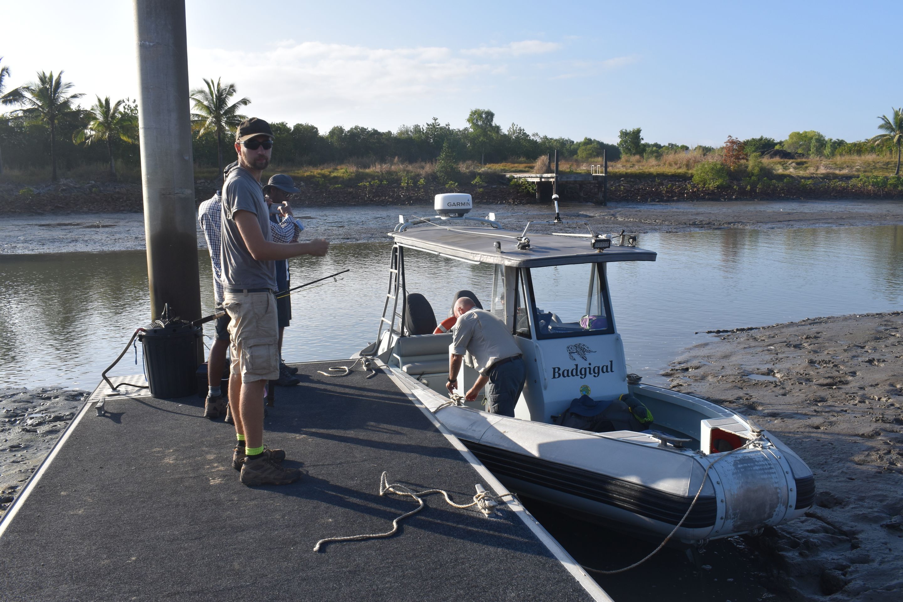
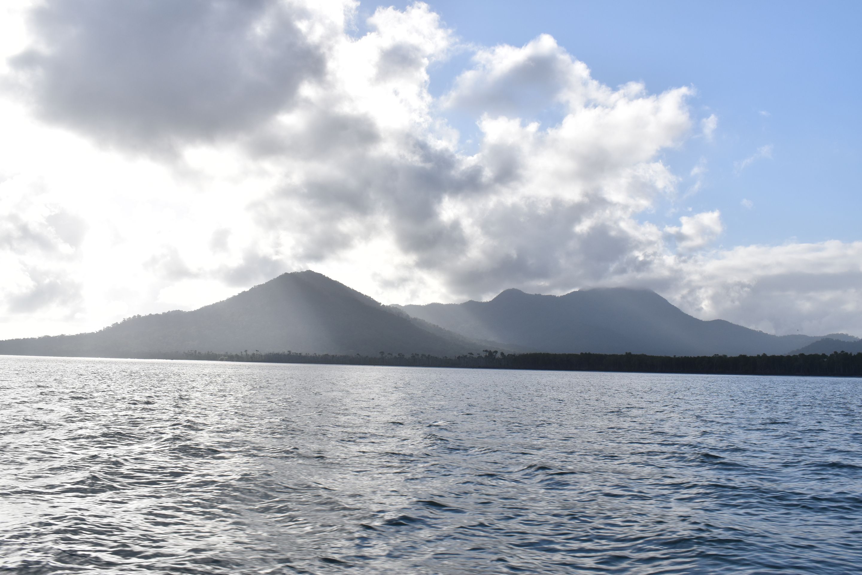
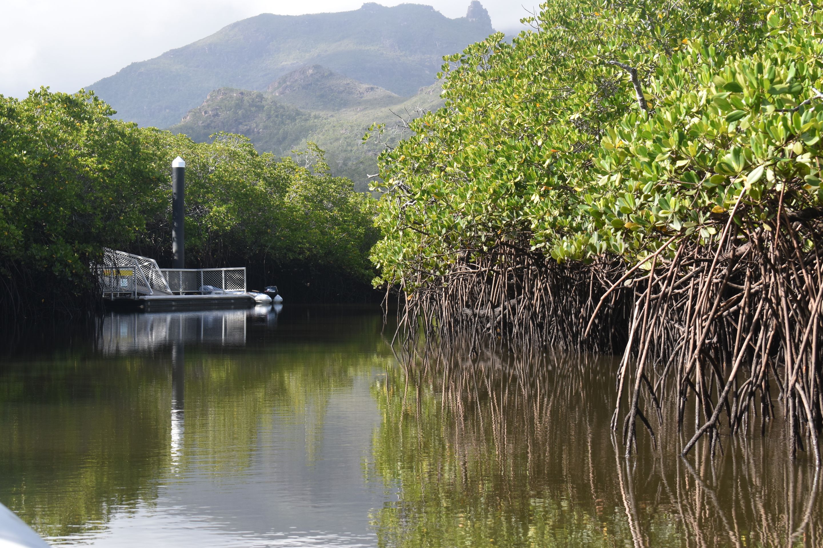
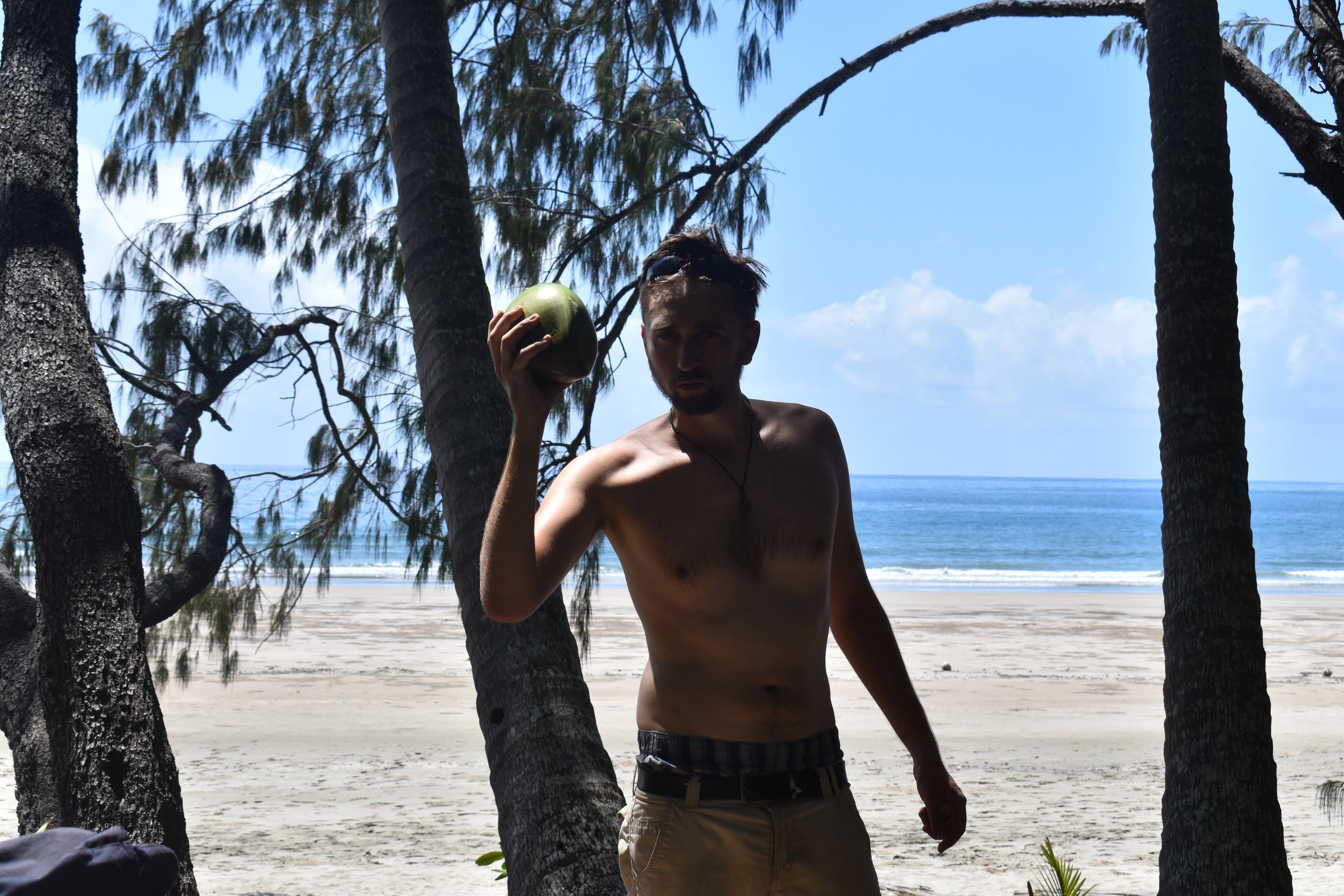
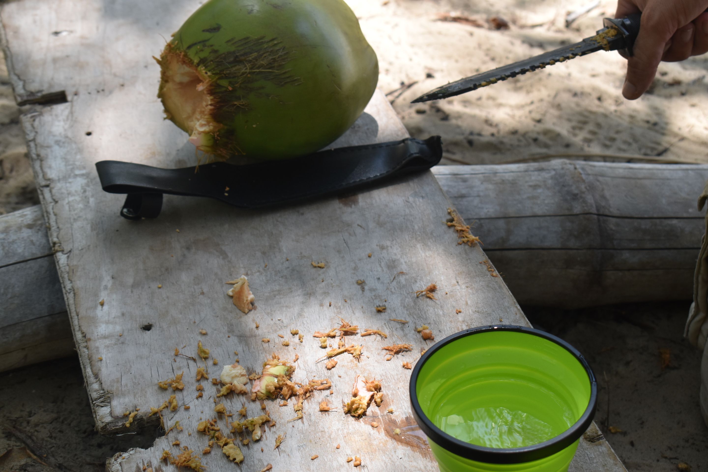
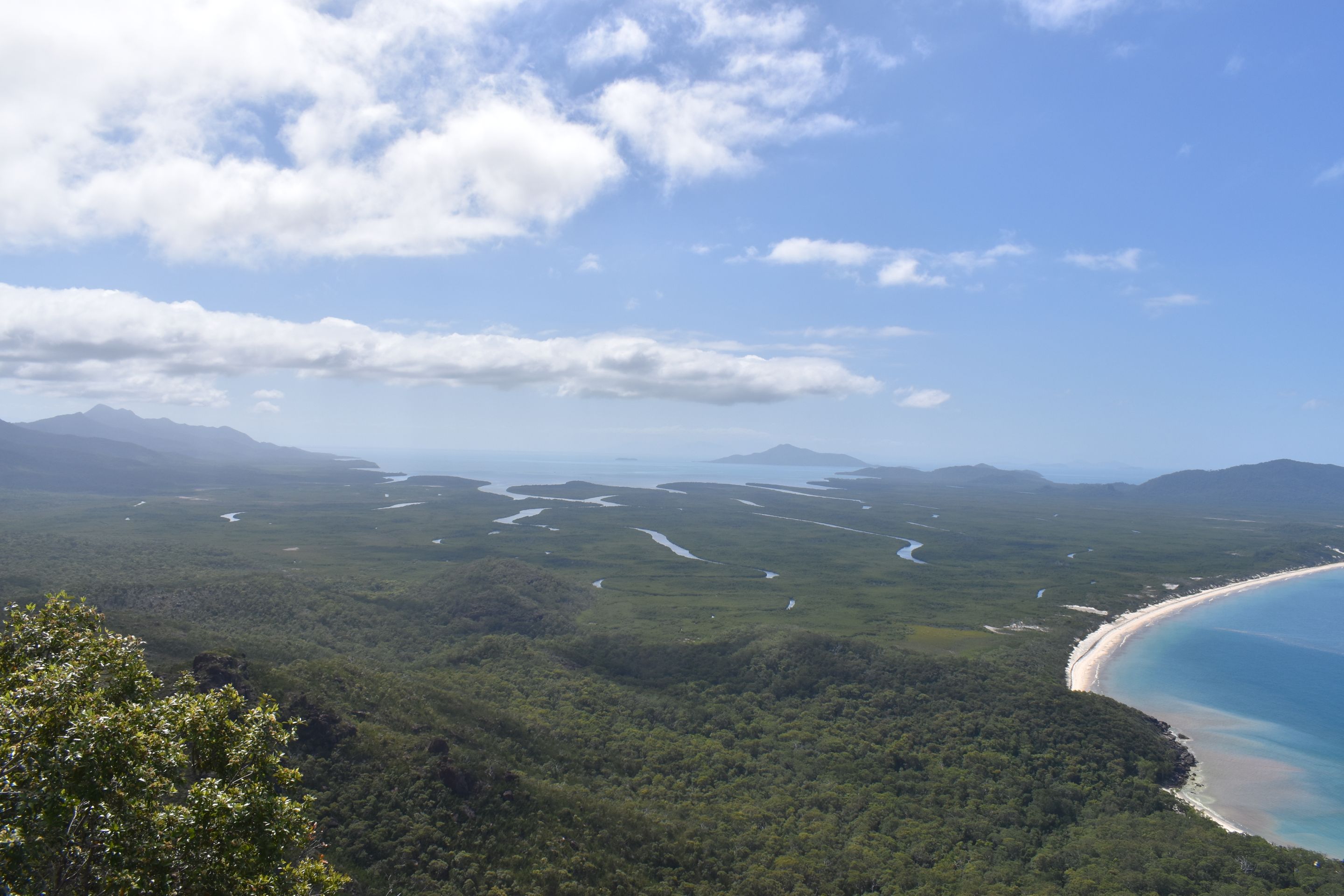
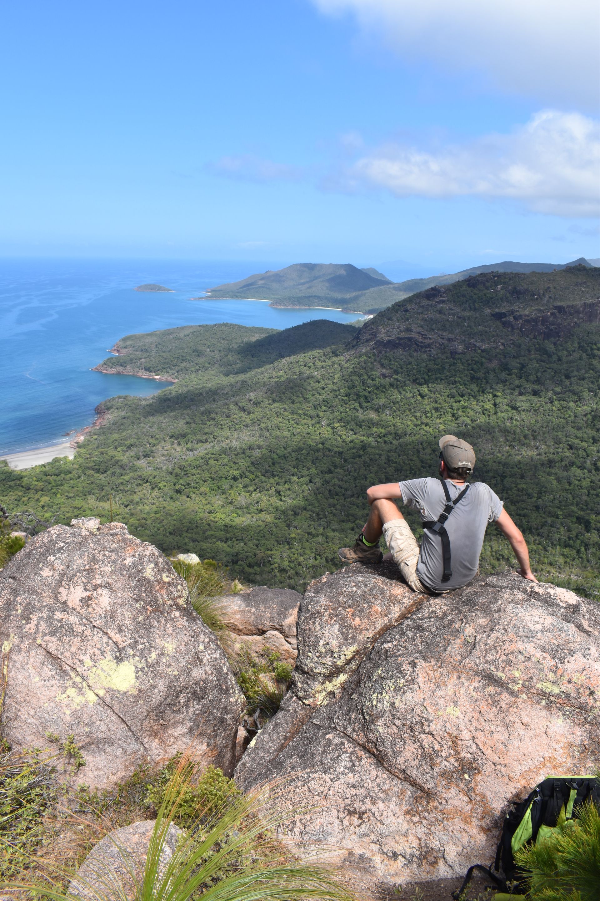
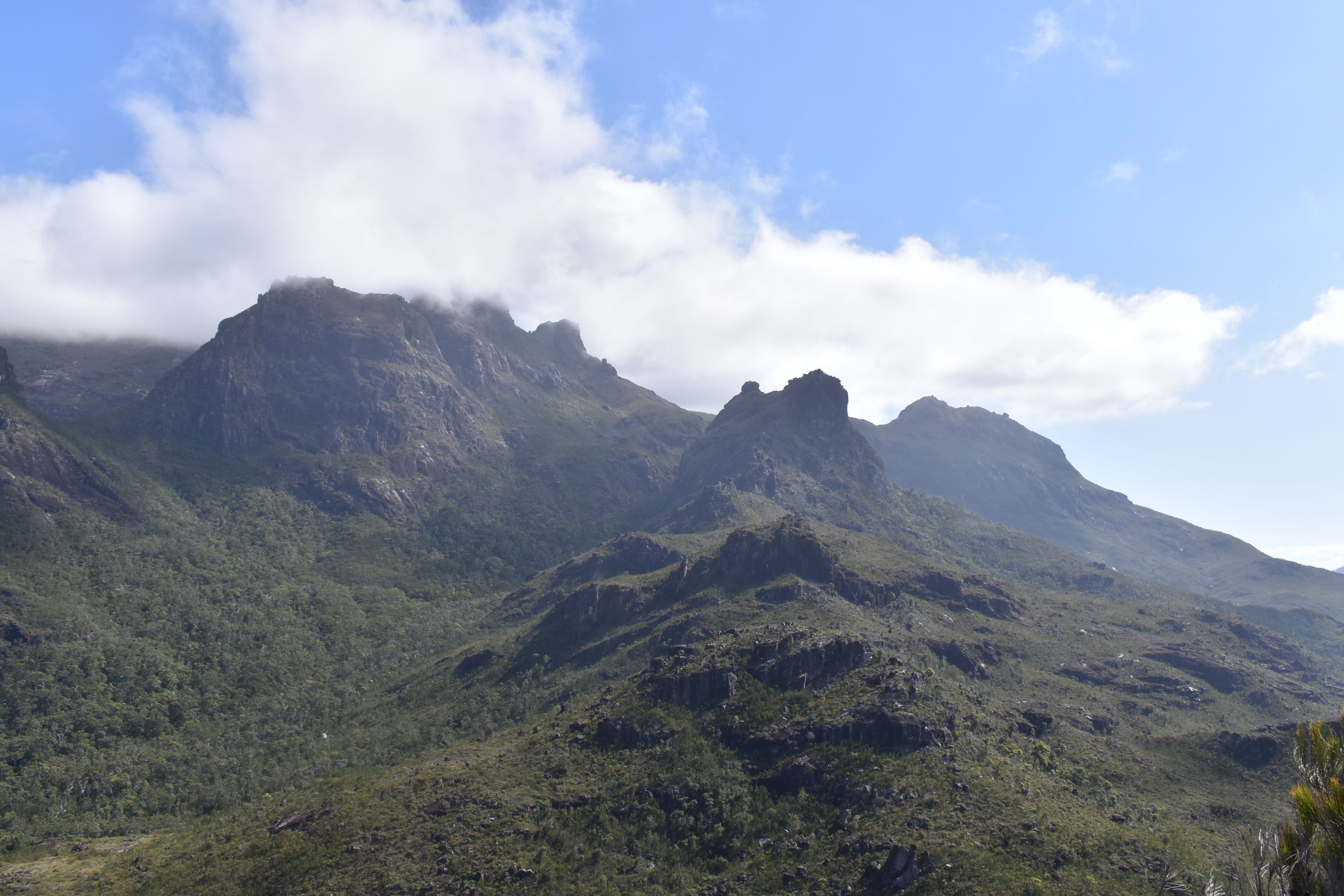
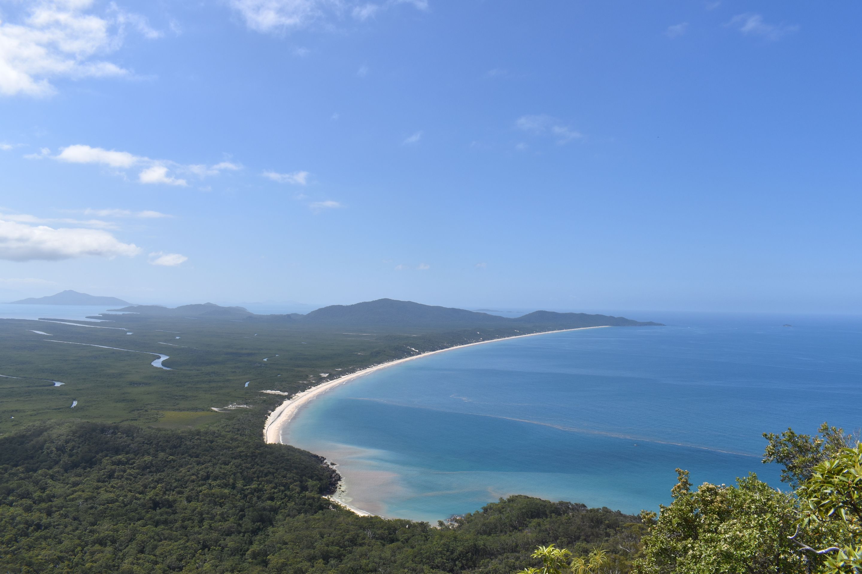
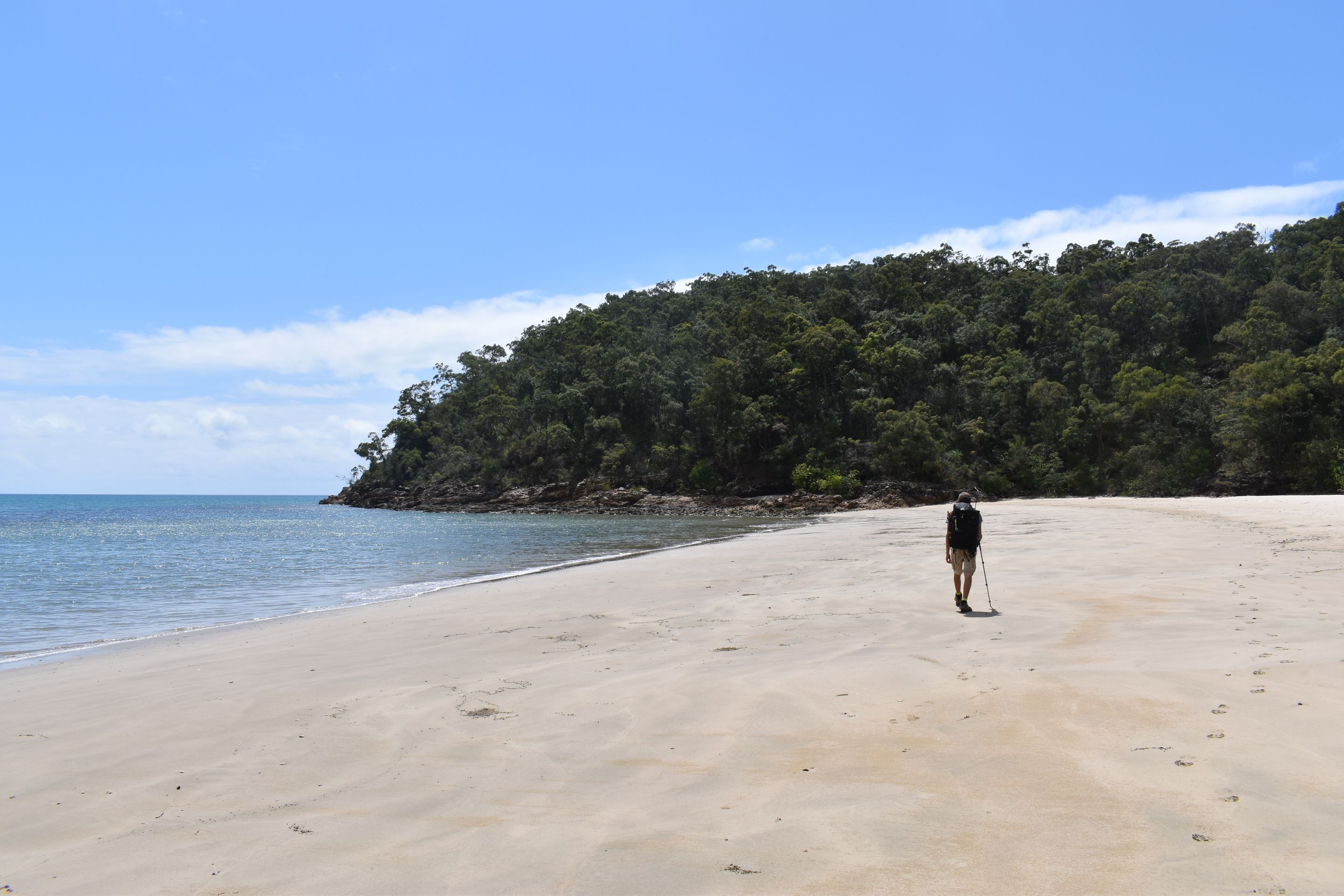
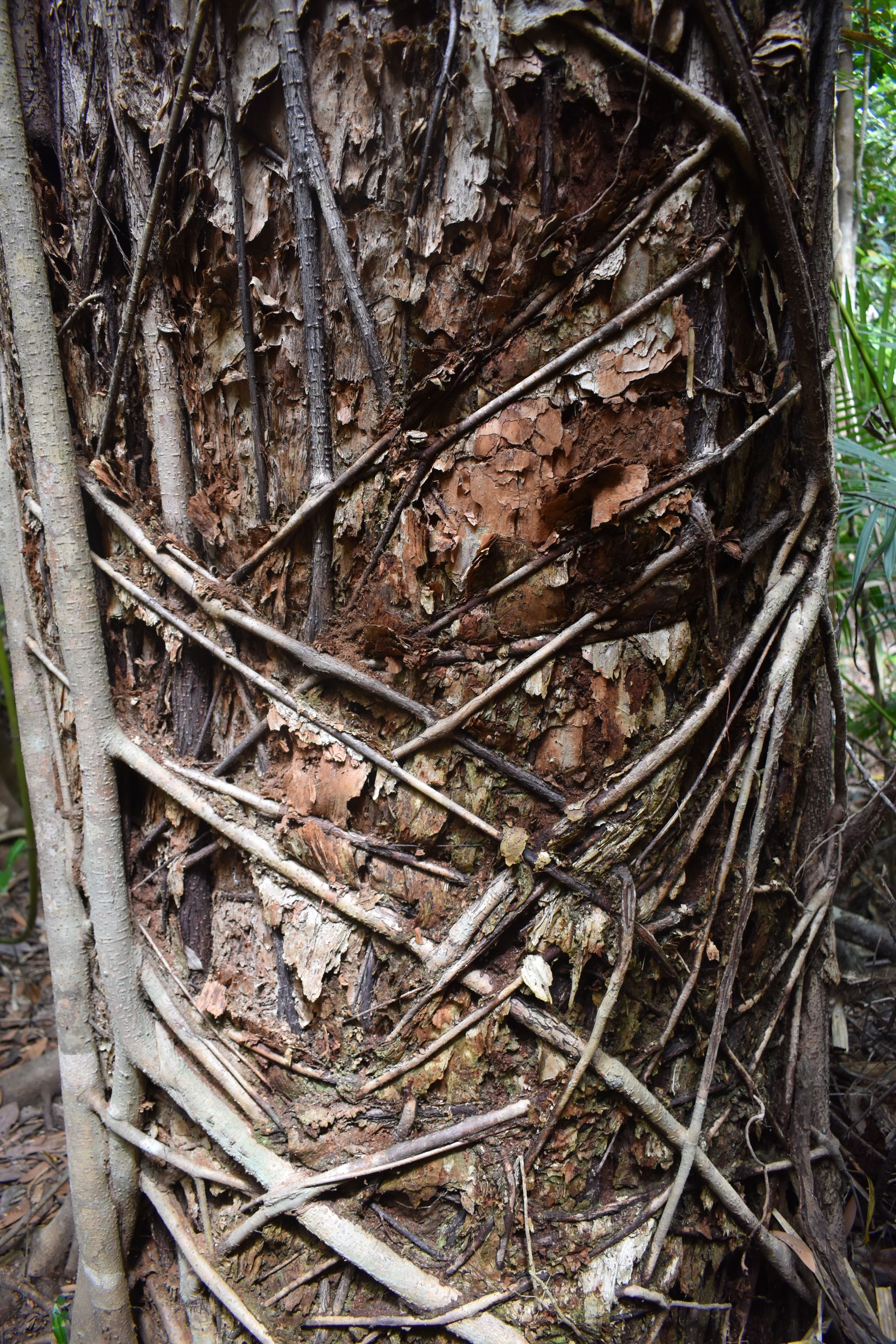
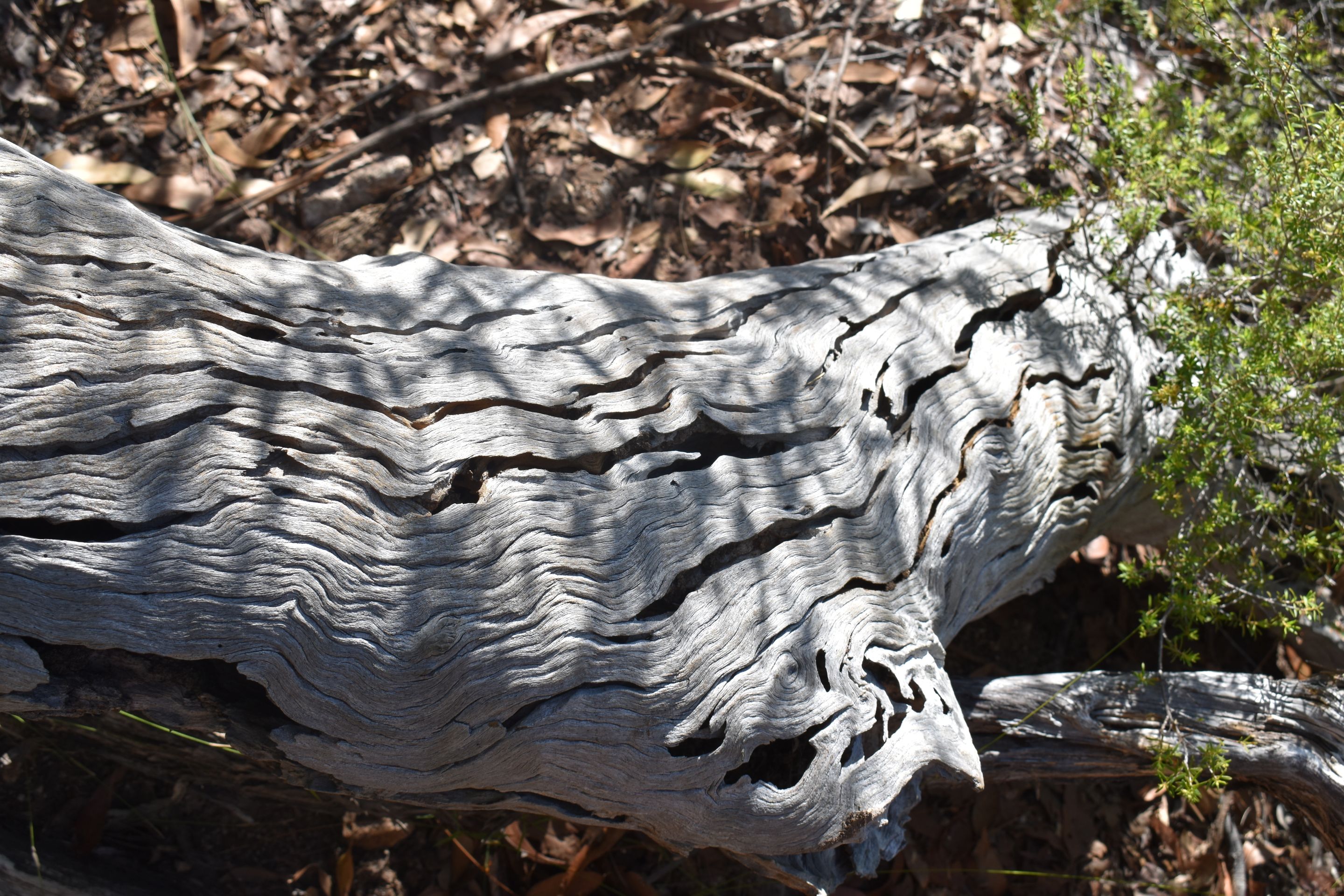
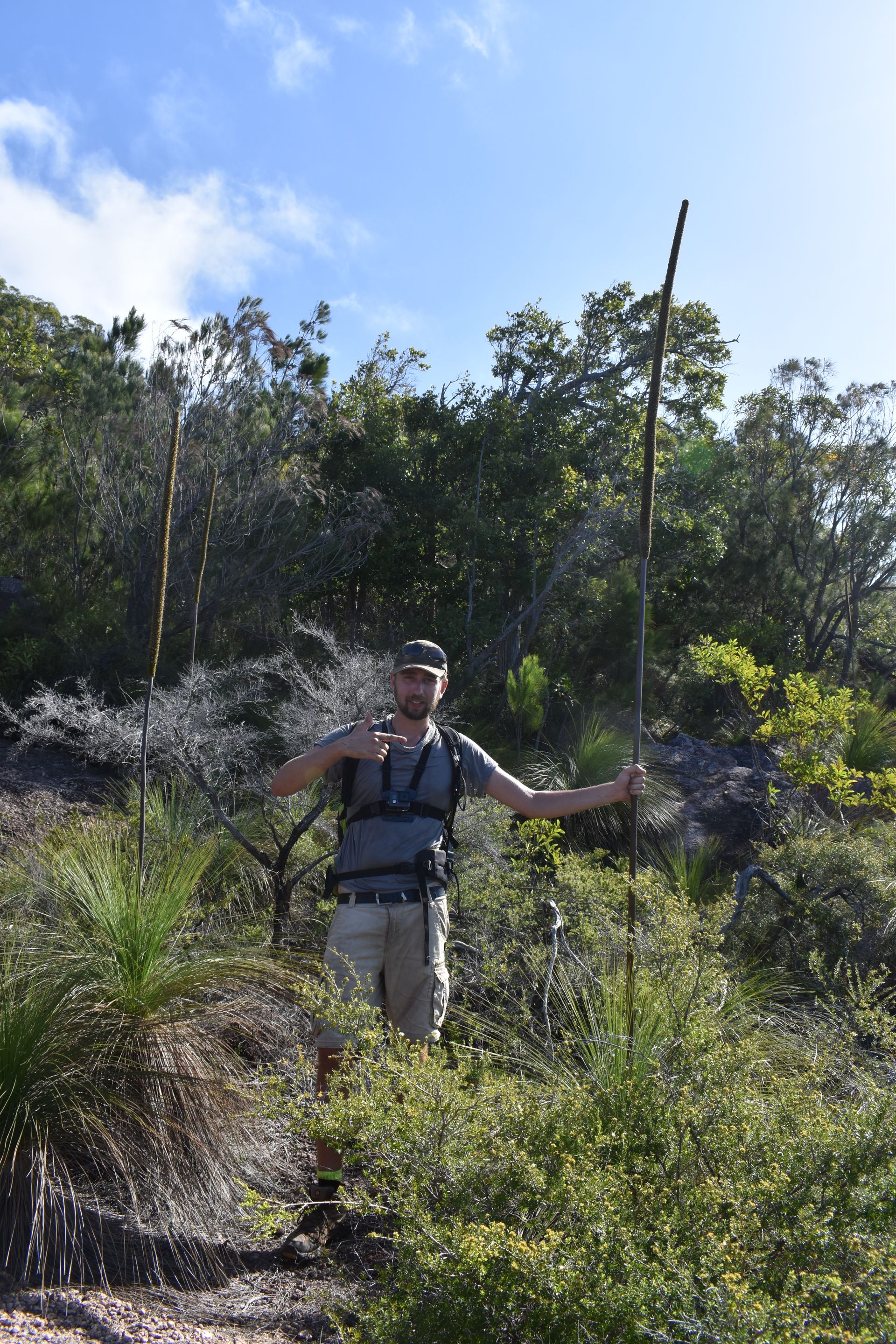
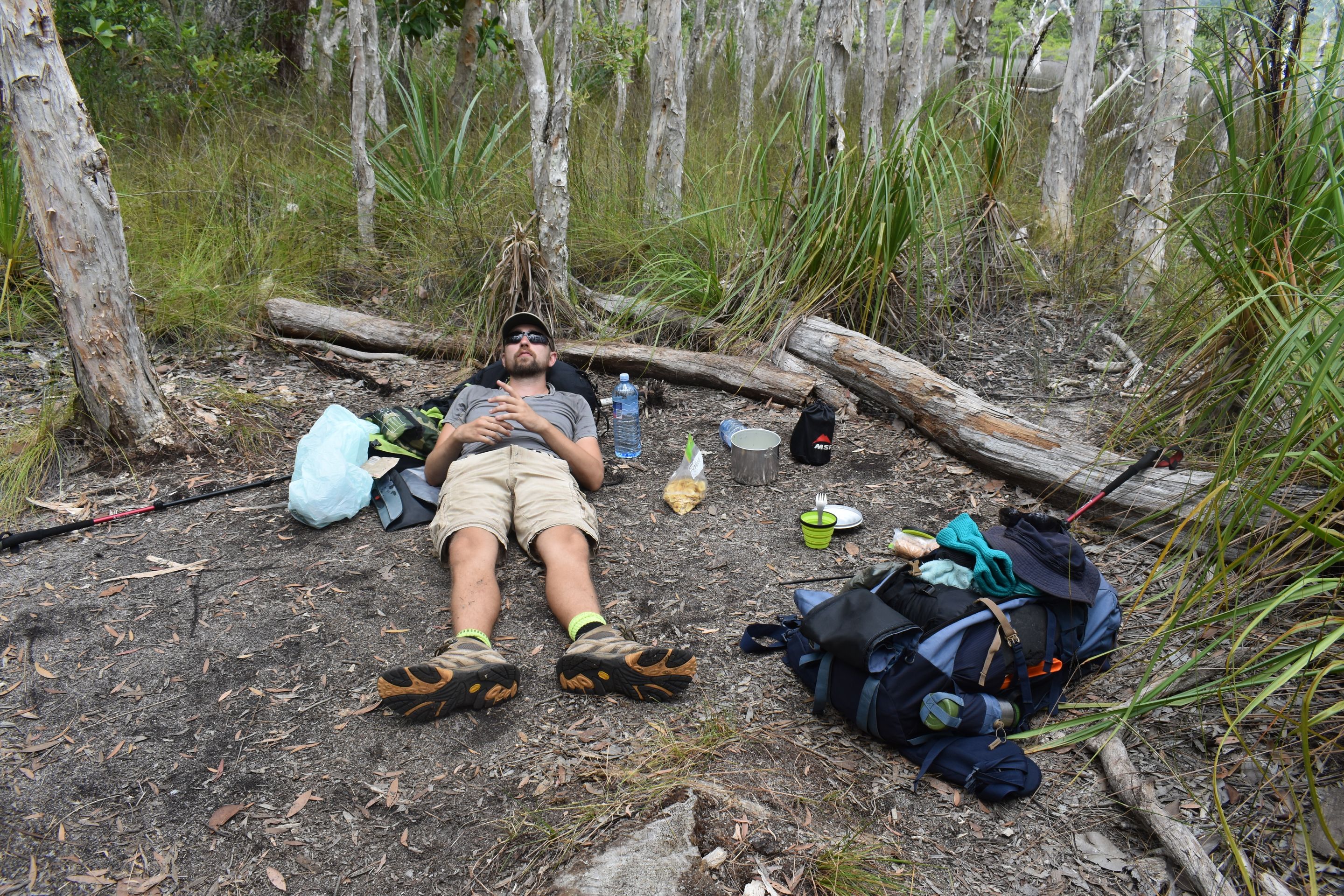
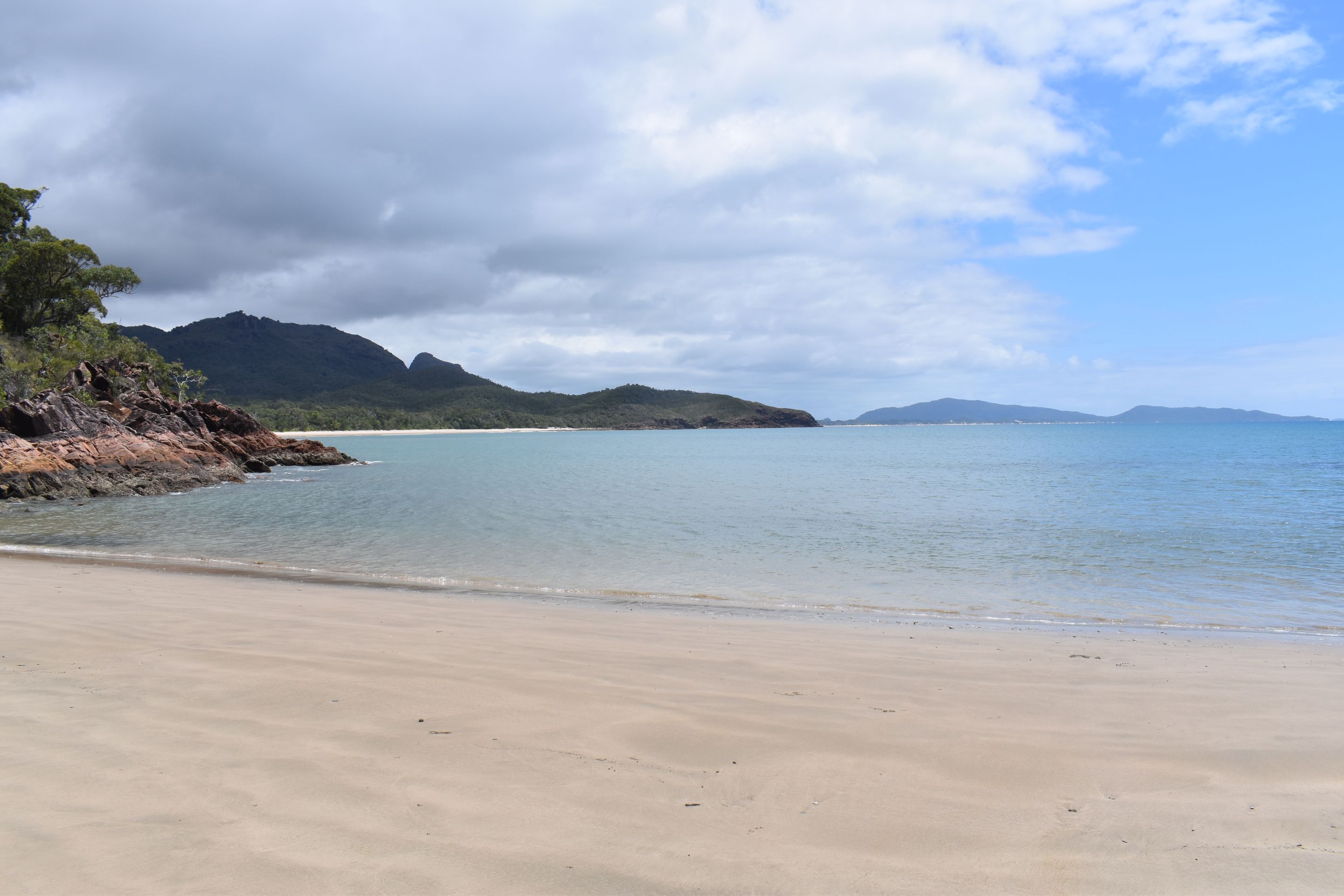
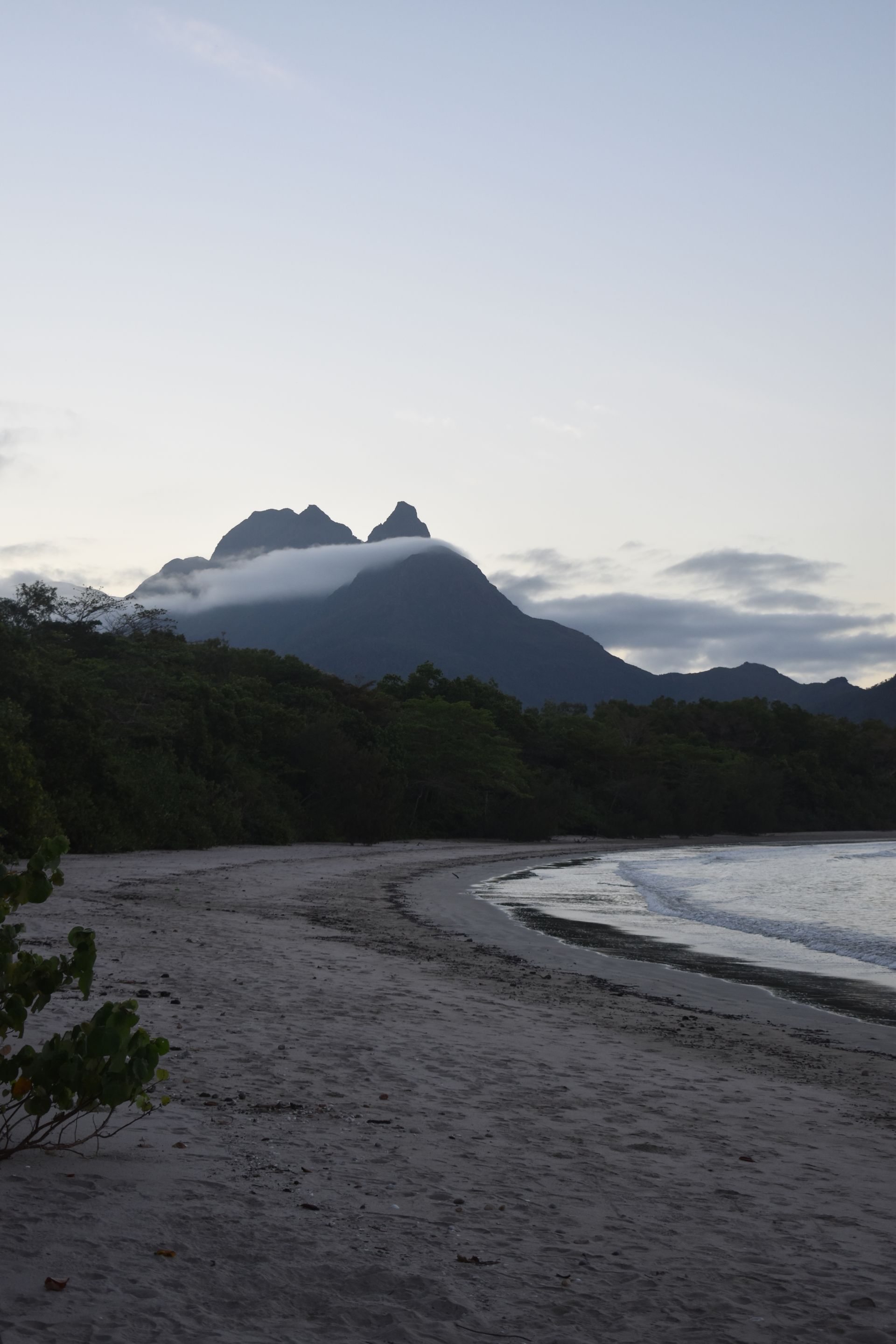
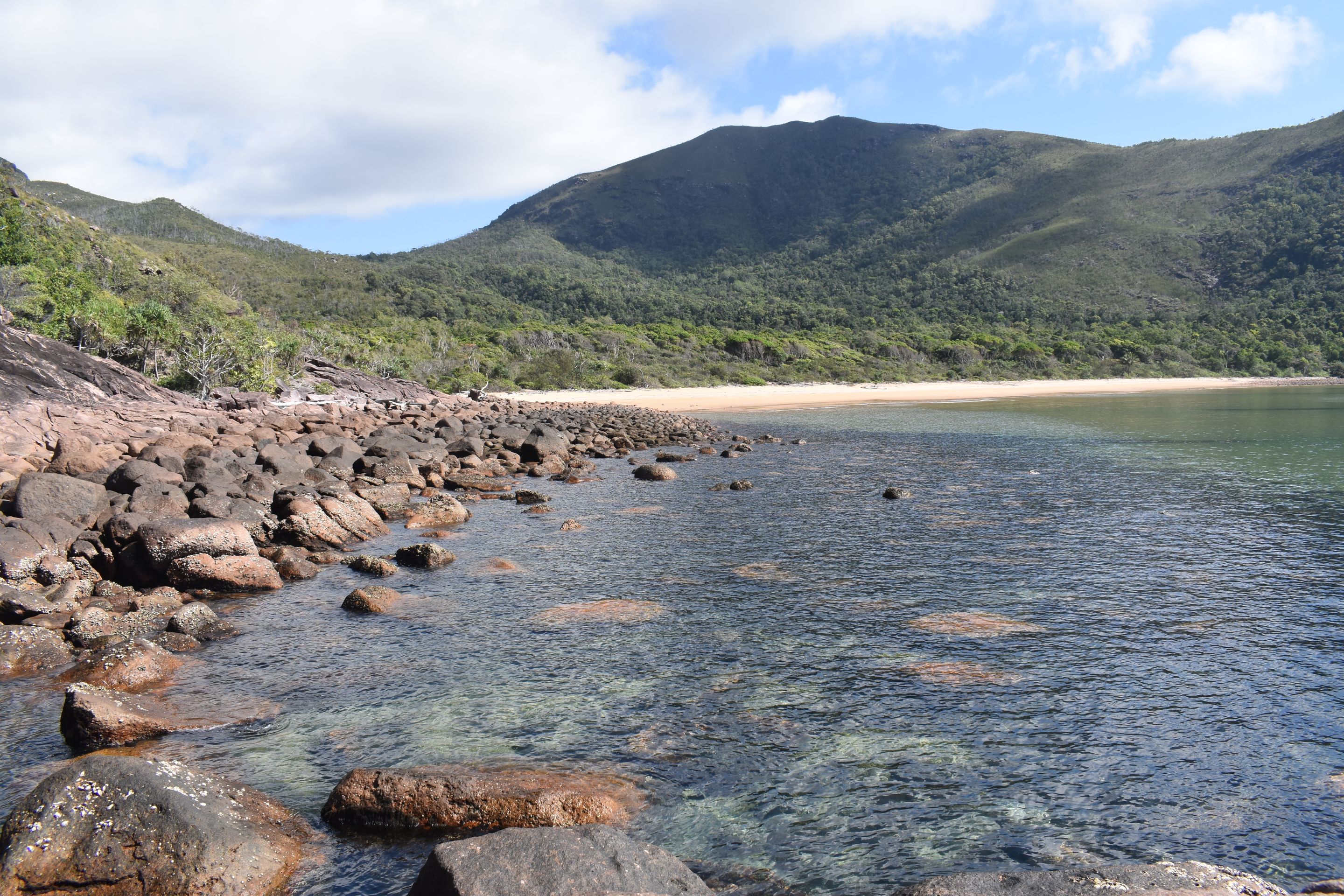
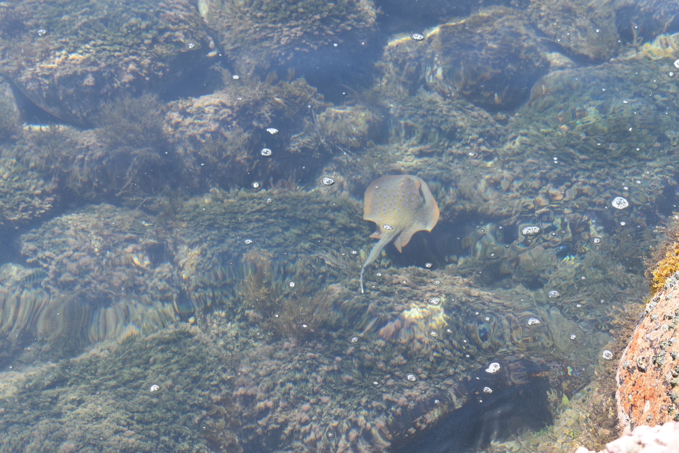
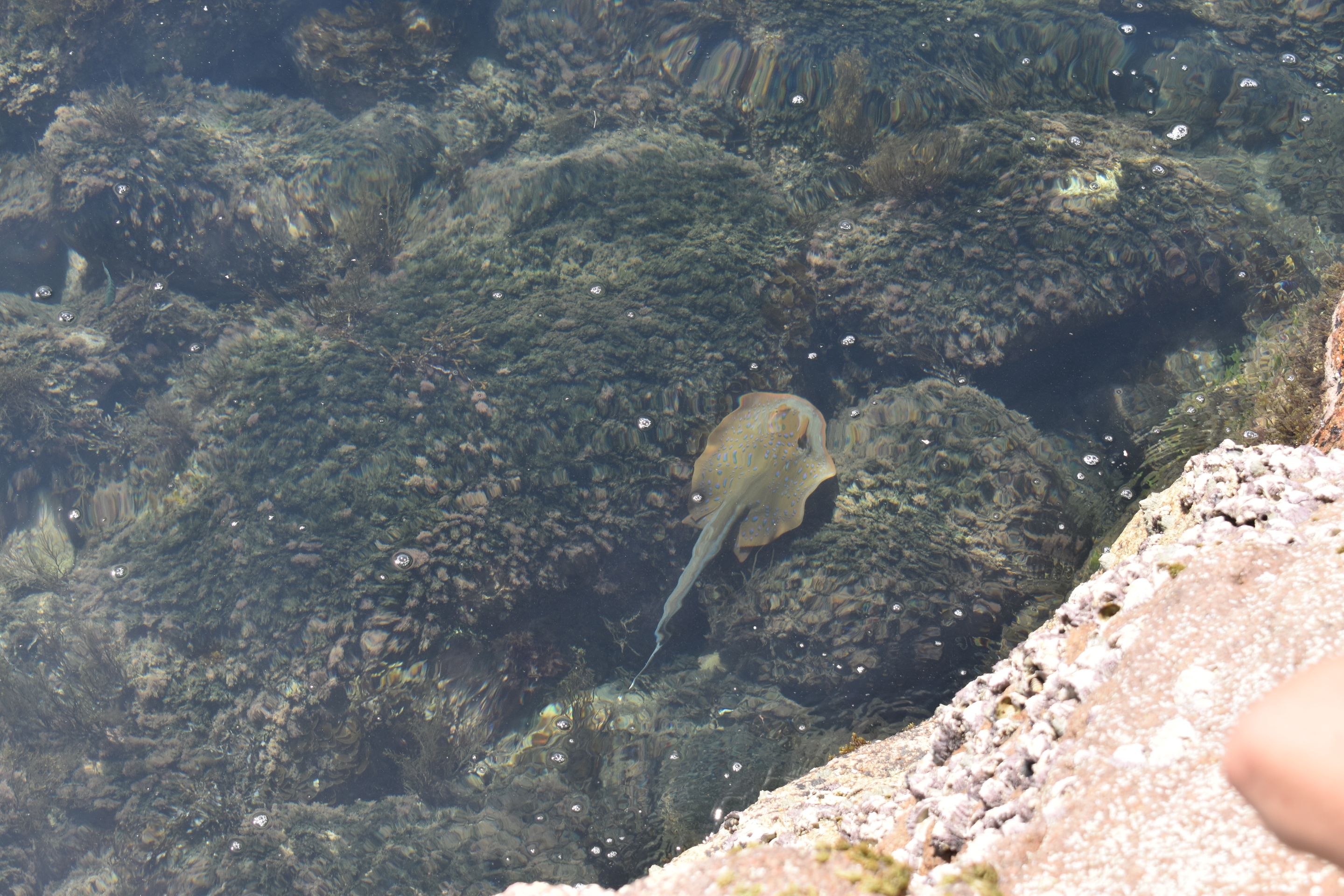
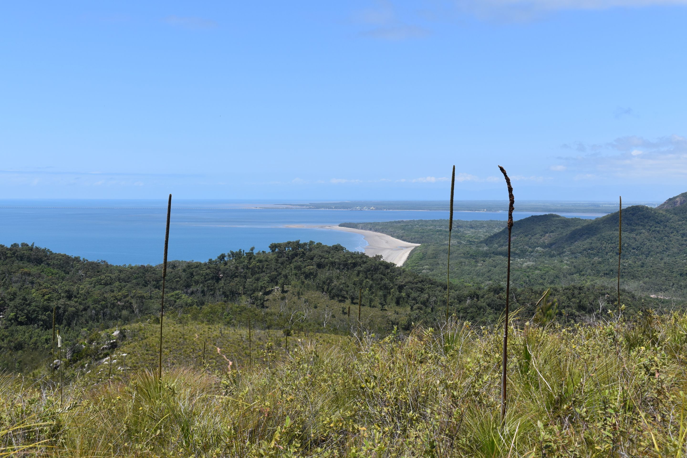
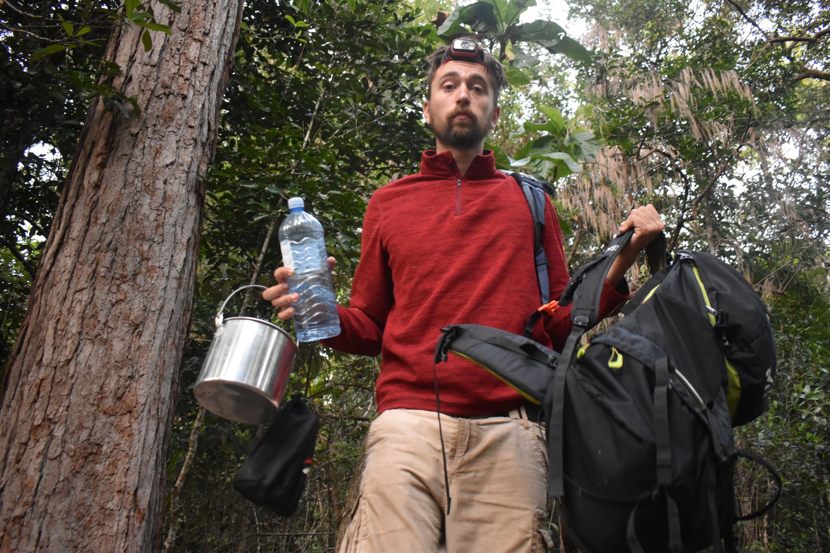
A small boat takes us to Hinchinbrook Island, which is located north of Townsville. We have planned to cross Hinchinbrook via the Thorsborne Trail from north to south. 32 kilometers lead through the jungle, over beaches, and past mighty mountains.


23.09.20Ramsay Bay to Nina Bay 4km


The alarm clock rings at five o'clock in the morning. The last things are packed and breakfast is eaten. At 6:30 a.m., we drive to the port. Brad, our captain of a small boat with two motors, tells us a lot about the Thorsborne Trail, which was named after Arthur Thorsborne. Arthur and his wife Margaret have fought their whole lives for the conservation of Hinchinbrook and the surrounding islands. After Brad has told us various things like where the best network is, in which waters we should not swim because of the saltwater crocodiles, and where we can best see sea turtles, we finally start. Three other hikers from India are also in the boat with us. Finally, Brad writes down the full names of all of us, all our names are very long and very complicated, so we feel directly connected to each other and laugh together. The crossing takes 45 minutes. The sea is calm and our fast and loud boat cuts through the gentle surface of the water, in which the clouds are reflected. From Cardwell, the small town that is considered the gateway to Hinchinbrook, we are almost at the northernmost point of the island. So we only drive a short distance to the north and then east along the coast of the wild island. Brad stops from time to time to tell us stories or name the names of the mountains. Then he steers the boat into a saltwater river which takes us through the island to the east side. The mangrove trees grow on both sides of the river and we can hardly see through the thicket. A small sign is located on the left side of the river, with a warning about crocodiles in these waters. Brad advises us to use his mosquito spray extensively before we say goodbye. He promises to pick us up again in five days at George Point, in the south of the island, before leaving us. From the jetty, a small path leads through the dunes to the beach on the east coast of the island. After crossing the beach, we walk through the forest over smaller hills to Nina Bay. The walking is not necessarily strenuous, we don't have to climb too much, and the path through the forest is fine, it's a narrow path that leads through the forests, sometimes there are larger rocks or fallen trees in the way that we have to cross. We quickly realize that the challenge of this hike will not be the kilometers, but the heat. The sun is relentlessly burning down on us already at nine o'clock in the morning. After the short distance to Nina Bay, a beautiful tropical beach with palm trees and blue water, we set up our tent. As soon as we sit down to escape the heat, we notice the mosquitoes and horseflies flying around us and happily stabbing us to suck our blood. So we use our mosquito spray again, which works reasonably well. For lunch, we have instant soup with bread crackers. We meet two Australians who have come by boat from Townsville. They are taking a day trip to the island and will continue on later. The man gives Flo a mackerel, which he has specially packed in ice so he can have it for dinner. We also get a long stick with a saw attached to the end to cut coconuts from the trees. Of course, we immediately set off and quickly realize that it is not so easy, even with a saw, to cut them down. We manage anyway and afterwards enjoy our fresh coconut water happily. Then we return the saw and set off to climb Nina Peak. We have to walk a short distance back the same way until the paths diverge. Our narrow path leads steeply up to the Nina summit. We climb for a good hour under the midday sun. It is incredibly hot and sweat drips incessantly. The view is phenomenal. In the north, we can see the many rivers that cut through the island. In the south, the beaches and the path that lies ahead of us. Mount Bowen, the highest mountain in Hinchinbrook and the third largest in Queensland, rises right in front of us. Clouds surround the top of the mountain. We sit up there for a long time and enjoy the peace and the view. I feel like I'm being pressed pause on. Everything is slower and less stressful. On the way back to the camp, we have to cross a river that was not there before. The tide is in. We search for fresh water for a long time and finally find a small amount of flowing water about 500 meters upstream from the dried-up riverbed. We wash ourselves and refill our water bottles. We put one Aqua tablet per liter of drinking water. After half an hour, the water will be safe to drink. Of course, you can also drink the water here without treating it, but you never know what has happened, maybe a dead animal is upstream or other bacteria contaminate the water. A risk that we do not want to take on a five-day hike. Then we finally have everything done. Flo fries his fish on a stone over the fire. The mosquitoes, which were already unbearable this afternoon, have doubled and are biting me alive! I cook some rice, which is only half cooked and quickly devoured. We flee into the tent and try to sleep soon.


24.09.20 Nina Bay to Zoe Bay 15km


From our tent, we can see the sun rise over the ocean from bed. It is a quiet and peaceful atmosphere. This is quickly replaced by the many mosquitoes waiting for us outside. Breakfast is quickly eaten while walking in circles, and everything is quickly packed up, loaded onto our shoulders, and off we go. There are no mosquitoes or sandflies on the beach. The only ones that like to follow us during the day are horseflies. They buzz around our heads with a loud noise, trying to drive us crazy. From Nina Bay, we walk along the beach and then up a small hill to Little Ramsay Bay on the rocky coast. We have to climb over large rocks to carefully descend back down to the beach. At the camp in Little Ramsay Bay, we put down our backpacks and set off to find the promised water source. Behind the dune, there is a lagoon where crocodiles live, Brad warned us. I keep a good distance from the water while Flo almost walks in it and fruitlessly searches for crocodiles. Upstream, we can fill our water bottles. Before filling them, we always quickly check if it is really fresh water. It is already very hot, and we have a little break before continuing. We continue along the beach and at the end of the bay over rocks and stones up a smaller hill. It is not easy to find the small orange arrows that show us the way. We often just follow the footprints in the sand. Then we go through the forest again. The muddy path leads us over sticks, branches, and dried leaves. We have to walk a little uphill and, as usual, sweat out all our water reserves. Then suddenly we come to Banksia Creek. A small river with an inviting pool between the rocks. We don't think long and take off our backpacks, strip off our clothes, and quickly dive into the cold water. It is a wonderful refreshment! Freshly invigorated, we continue over sticks and stones. Through the jungle, there are long, thin, tall trees on both sides of the path, close together, so that you can hardly see through. It is a beautiful forest with a soft floor. As we march through it, hundreds of butterflies leave their places and fly a little way ahead of us. It is magical. Then we come out of the forest and find ourselves on a dry plain with isolated, dried out, and charred trees. We take a break and have lunch. Again soup with crackers. Our lunch for the coming days. After lying around lazily for a while, we put the backpacks back on and continue over the dry plain and finally back into the forest. In the forest, we have to cross three rivers. We are excited and looking forward to the river crossings, as we still remember the fun we had back on the South Coast Track. The rivers are not particularly full of water. I always balance on the stones and don't even have to take off my shoes. Of course, we still have fun. Then we continue through the jungle. The path seems to never end. Our feet start to hurt, and the backpack gets heavier. Then we finally reach Zoe Bay. We set up the tent. There are many other campers at Zoe Bay. Not all of them are hikers, some have come here by boat and have brought heaps of stuff. They are camping like kings! We walk another 15 minutes to get to the Zoe Falls. We are the last visitors to the waterhole and the beautiful waterfall. We swim and take a little round before returning to the camp. Further down the river, we refill the water bottles. At the camp, we play cards before having dinner. Tonight, there are noodles. There are fewer mosquitoes out, but we still disappear into our tent shortly after sunset.


25.09.2020 Zoe Bay to Mulligan Falls 7.5 km


In the early morning, we walk the same path to the Zoe Falls. This time we don't go swimming but climb steeply up the mountain to the river which plunges deep in front of us. The view is fabulous. We can see the whole Zoe Bay and the northern part of Hinchinbrook. We are on a plateau where the Zoe River has washed out the rocks and turned them into many small pools for thousands of years. We take a bath with an incredible view. The water is cold, but it doesn't matter as the sun is already burning down on us anyway. Up here, there are hardly any mosquitoes that could disturb our peace, so we enjoy the view and the fresh water until the first campers arrive. Then we pack our things and start our way back. We walk parallel to the river and always see more beautiful, deeper, and longer pools that would be wonderful for bathing. Nevertheless, we keep walking. Then we leave the river and moderately climb up the mountain. We cross a small hill that lies between two mountains. It is the highest point of the Thorsborne Trail, but not particularly strenuous as the path leads uphill quite evenly. We have to cross several small streams before we reach the top of the hill. Suddenly, the ground slopes steeply downhill, we take a big step over the almost dried-up stream and then climb steeply up again, it goes like this a few times. On the level of the hill, we can see the Sunken Reef Bay, Mulligan Bay, and almost Gorge Point, the end of the track. In the background, we can see Australia, a few houses on the coast tell us that civilization is not far away. We slowly climb down again. The footpath is tricky, there are many roots and stones that are stumbling blocks. I fall. Flo falls. We walk even slower and try to concentrate even more on the rocks and sticks. Then we finally arrive at Diamantina Creek. A beautiful river cuts through the landscape, it will later plunge into the Mulligan Falls, where we will sleep tonight. We cross the river, here too we leave our shoes on as it is quite easy to hop over the large rocks. From here, it is only one kilometer away. One kilometer that feels like five. We can already hear the waterfalls from a distance and can sense from high above that they are below us. Nevertheless, the footpath makes a good curve before it steeply leads back down into the jungle. The first thing we notice is the mosquitoes, which also happily buzz around in the shade of the trees during the day, they greet us gladly. The camp is located directly in the forest, among all our new friends. We put down the backpacks and go to Mulligan Falls. Right at the camp are the waterfalls and several pools with fish. Large rocks look as if they were thrown into the river, forming different sections and wonderful seating areas in the middle of the river. We first jump into the refreshing water before finally having lunch. Afterwards, the tent is set up between the trees and mosquitoes. We quickly hurry back to the water, luckily there are hardly any mosquitoes here. We spend the rest of the day in or by the water, swimming, playing cards, enjoying the sun, and the time that is running very slowly again. It's crazy how slowly time passes when you're not doing anything and especially when you don't really know what time it is but always go by the sun. In the evening, we have a small fire to drive away the mosquitoes with the smoke. It works fabulously. We have dinner there, which was a very bad idea, as we eat in the tent because there are simply too many mosquitoes. After washing the dishes in the midst of our little friends, we quickly flee back into the tent, read a little, and fall asleep quickly.


26.09.20 Mulligan Falls to Sunken Reef Bay and back around 4 to 5 km


We wake up before the sun and go back to our fireplace to light it again to drive away the mosquitoes. Unfortunately, we can't see a sunrise as we are in the middle of the jungle surrounded by trees and mountains. After breakfast next to the waterfall, we pack a backpack with water bottles and lunch and set off to explore Sunken Reef Bay, which we saw from above yesterday. We walk back the same path we came yesterday. Now it goes steeply uphill for the first time, and for the first time, I realize that going uphill is faster than going downhill. Flo always said that, and I never believed him because I usually get down faster, times are changing. We have a freezing cold bath in Diamantina Creek, we have a lot of fun on the slippery rocks with several small crabs, which I fortunately noticed only after we were out of the water. After filling up the water bottles, we continue a little further back on the Thorsborne Trail until a small footpath branches off from the actual track. A sign reading "Sunken Reef Bay" shows us the way down. It first goes slightly east between dry trees and then steeply downhill. There are many leaves on the ground, which are particularly slippery and expect good balance from us. Then suddenly, after a good half-hour of walking, an impassable river blocks our way. We were not warned about this on our map and in the comments, and we first need to figure out what to do. Since we are almost at the coast, we are quite sure that it is a saltwater river and has a good chance of being home to a crocodile. We see fallen trees a good distance upstream which we might be able to balance on to cross to the other side. So let's go. We cautiously feel our way through the water with a stick and find that this river is surely one meter to 1.5 meters deep. We carefully balance over it and finally arrive on the other side in one piece. Now we go back downstream to get back to the path. It quickly turns into sand, and we come out of the forest onto the beach. It is low tide, and the sea is far away from us. The beach is small and offers a beautiful view of the sea and the island in front of us. We leave our backpack at the place designated for camping. There is a table and a bench made of washed-up tree trunks hastily put together. The camp is small but rather cozy if there weren't so many mosquitoes in the little shade. Flo has brought his fishing rod, and we climb over the rocks on the south side of the bay and try to reach the deeper parts of the sea since it is low tide, the water is not particularly deep anywhere. Flo is fishing anyway, and I'm reading. The sun slowly climbs to its zenith, and we sweat. Finally, he excitedly catches a fish. As soon as he pulls it out of the water, I can see the disappointment in his eyes. He is not sure if he can eat this fish and believes it is poisonous. So he releases it back into freedom. By the way, a few weeks later, we will learn that it was a delicious fish... We return to the camp and have lunch without fish. After just a few minutes, the mosquitoes attack us again, and we eat our soup standing in the sun. Then we start our way back. We cross the same trees to get to the other side. We notice that the water has risen and we are glad that we can still get across. Then it goes steeply uphill back to the Thorsborne Trail. Again, it goes faster than expected, even though the sun is burning down on us. The sweat is dripping, and after a good half an hour of sweating, we are back up again. The same path leads us back to Diamantina Creek, back to Mulligan Falls, where we take a well-deserved bath. A family with four children arrives at noon, followed by more and more people. Our little paradise suddenly feels overcrowded, and in hindsight, we only realize how wonderfully quiet and cozy we had it yesterday. We spend the afternoon close to the water again, playing cards, reading, and sizzling in the sun.


27.09.20 Mulligan Falls to George Point 7km


We stay in our tent for a long time and wait for the other hikers to disappear, but they take quite a while, and finally, my bladder kicks me out of bed. We have breakfast on a rock in the middle of the river. It is quiet and peaceful. We sit there for a long time and talk, the sun has already risen, but is still hidden behind the mountains. Finally, we are alone again, and the first rays of the sun fall on the cold water. We swim in the pools and enjoy having everything to ourselves again. Suddenly, out of nowhere, people without backpacks appear. They probably came by boat and only walked the last part through the forest. They quickly jump into the water and disappear as suddenly as they appeared. We pack our tent and backpacks together and leave this beautiful mosquito-infested place. It is the last day of our hike. Tomorrow morning, Brad will pick us up again at George Point and take us back to Australia. We go through the jungle and across the moor. I am even attacked by mosquitoes while walking, and we rush through the forest. After 2.5 kilometers, we finally reach Mulligan Bay and leave the jungle with all its mosquitoes and horseflies behind us. On the beach, I first examine my bitten elbows, after crying for a short moment, we finally continue walking south. The last part of the track goes along the beach, a small river has to be crossed, the first one I take off my shoes for. I leave them off, hang them on my backpack, and walk the last five kilometers barefoot along the beach. Finally, we arrive at George Point. Flo stumbles on the last meters and lands directly in front of the camp on his knees. It looks really funny, and we laugh together about his clumsiness. We set up our tent in the shade of the trees and have lunch, then we read a bit in the tent because there are many, many mosquitoes and flies buzzing around us, eager for blood. In the afternoon, armed with a knife and a bottle of water, we go on a coconut hunt. We walk almost back to the river until we finally find a palm tree with coconuts. We tie the knife to the end of a stick and try to cut the green coconuts from the tree. That doesn't work very well. I climb onto Flo's shoulders, and we try again. That doesn't work very well either. Then Flo grabs a larger branch and tries to get the nuts down without the knife. That hasn't been very successful either. Finally, Flo grabs a small washed-up tree, which he finally manages to bring a few coconuts down with! Overjoyed, we bring three heavy coconuts back to the camp. As a reward for carrying them, we first have coconut water, which unfortunately tastes quite sour and green... So we quickly open another one, which tastes better. In the evening, Flo tries to fish again, but gives up quite quickly. After sunset, we have dinner, which was a very bad idea because we eat in the tent since there are just too many mosquitoes. After washing up in the midst of our little friends, we quickly flee back into the tent, read a little, and fall asleep quickly.


28.09.10 George Point to Cardwell


We wake up very early again and spend the morning reading in the tent. We pack all our things together and wait for Brad to pick us up again with the small boat at ten o'clock in the morning. Brad greets us with cold beer on the boat, and this time it takes about an hour to get back to Cardwell. The water is bumpier, and I can't really enjoy my well-deserved beer. Happy to have solid ground again, we make our way to the car and have breakfast first in a restaurant overlooking Hinchinbrook. Without mosquitoes but somehow much warmer, we enjoy the advantages of civilized life.
Cevap

Avustralya
Seyahat raporları Avustralya