April, April
வெளியிடப்பட்டது: 01.05.2021


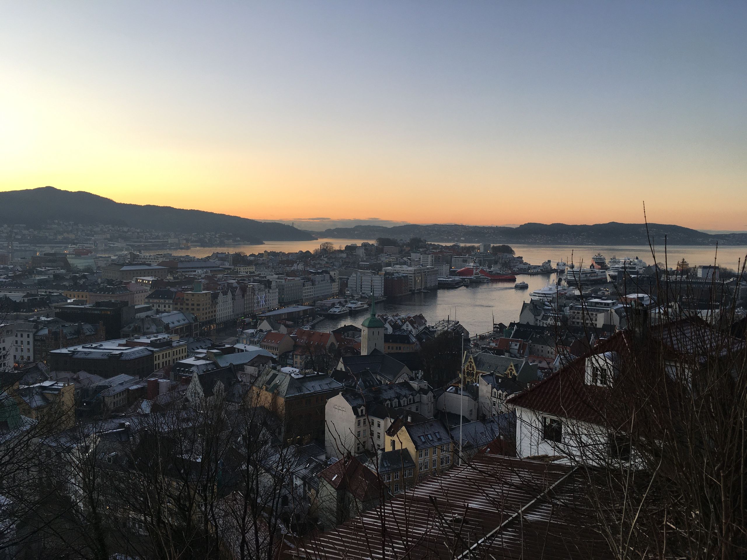
Our last full month in Bergen begins and you haven't heard anything about April yet. But that's not because nothing has happened, but rather because the university needs more attention.
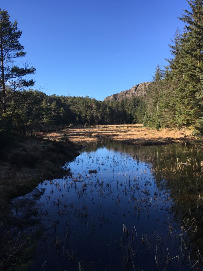
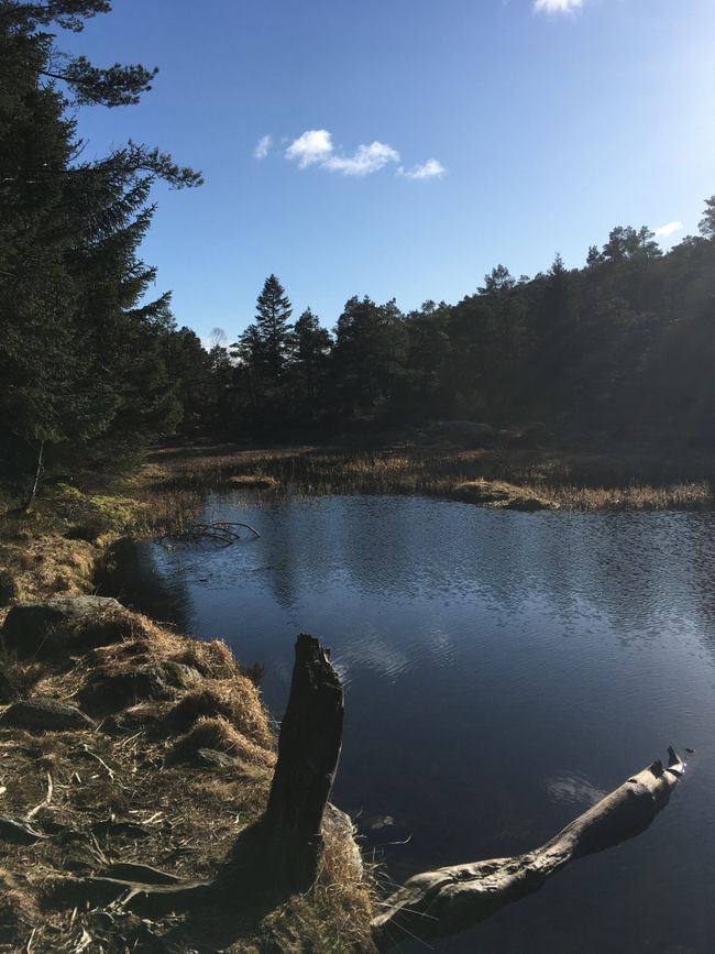
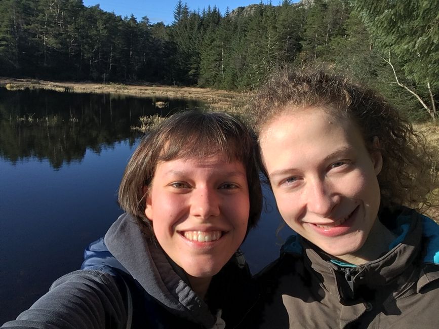
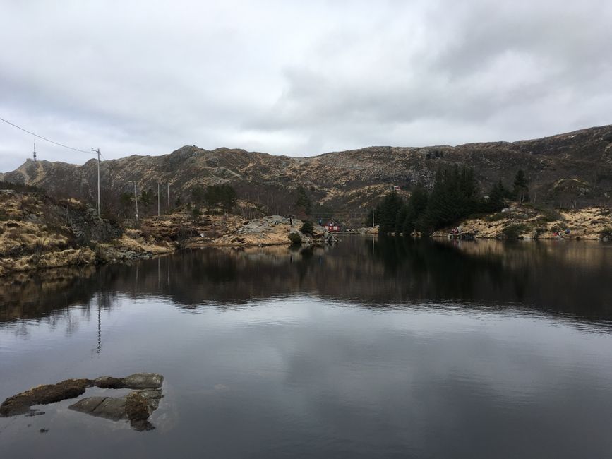
At the beginning of April, Easter came directly and before that, we had another study week. But this time we didn't go far. Many went to Stavanger for three or four days, but some had problems finding accommodation because they were international students from Bergen. As if we were all infected in our dormitory bubble. Pia and I decided to take a tour every beautiful day instead. On Wednesday before Maundy Thursday, we spontaneously visited Langatjørna, the small lake or rather pond, that I had tried to find in February but turned back then. It is located on the southern flank of Løvstakken and is a nice, secret spot because it's not big and is further away from the main paths. I would never have found it in the snow. A picnic there would definitely be a nice thing.
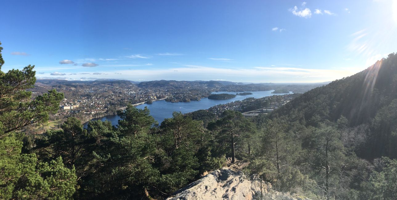
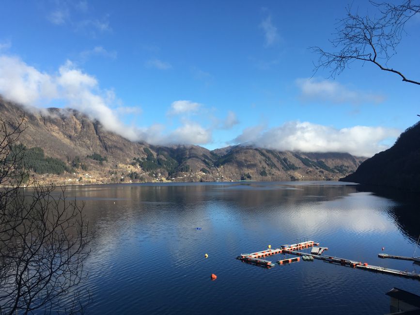
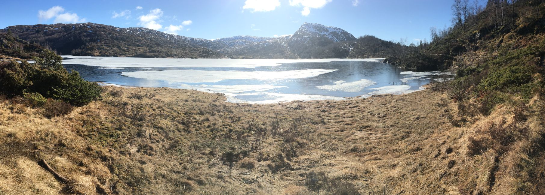
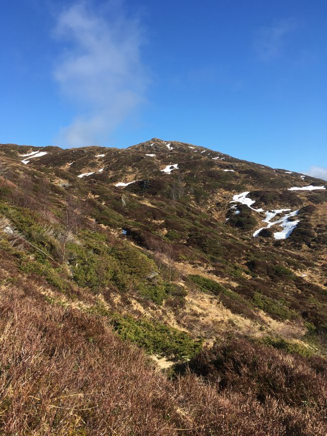
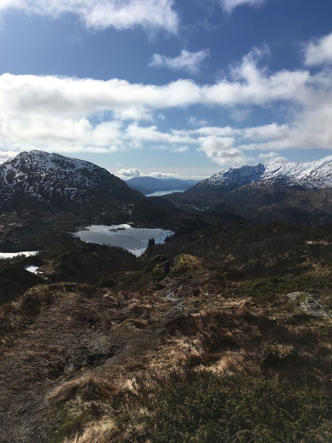
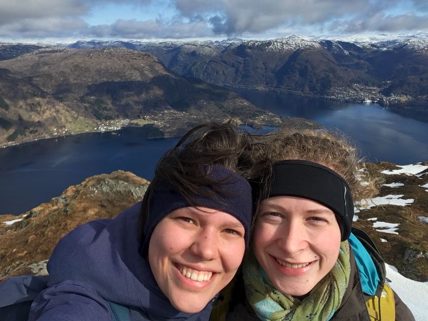
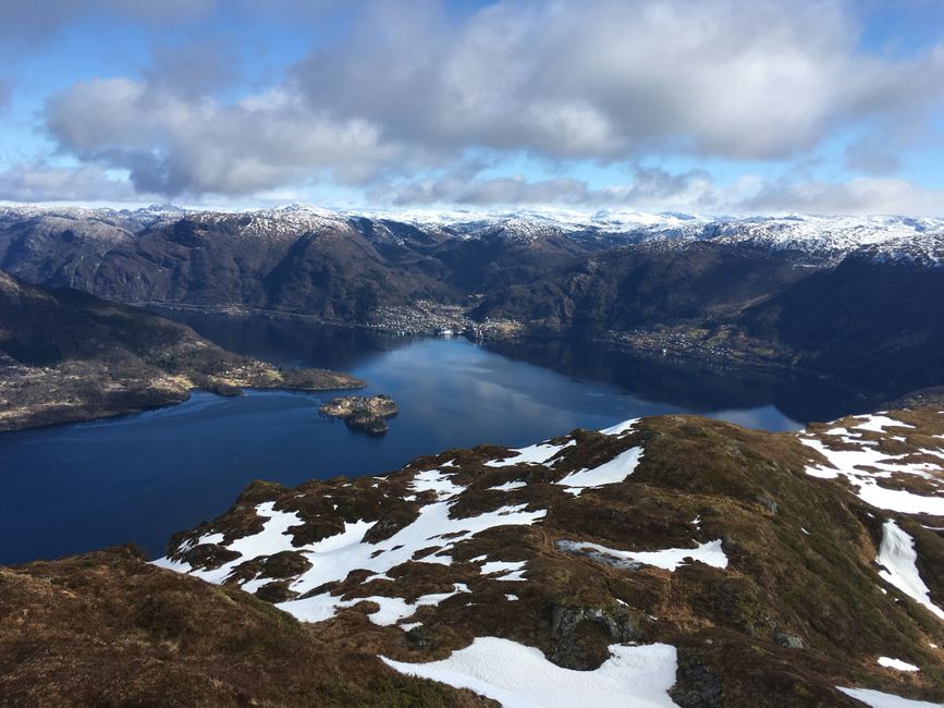
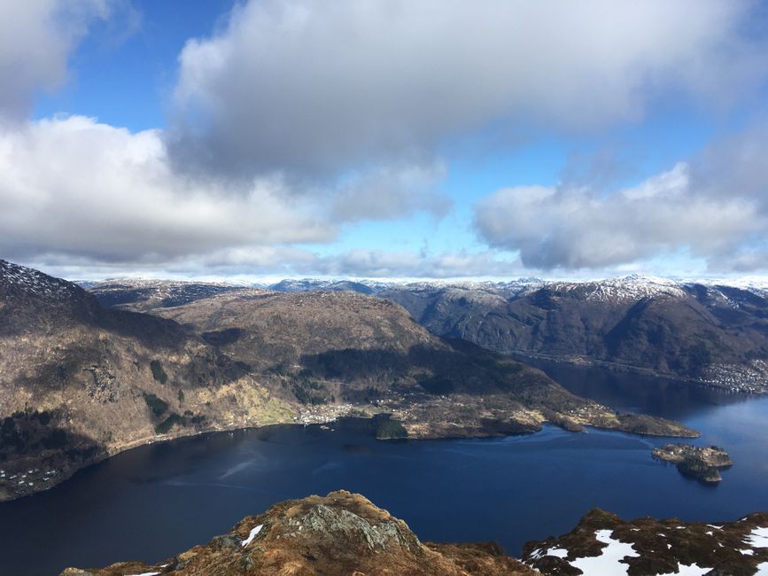
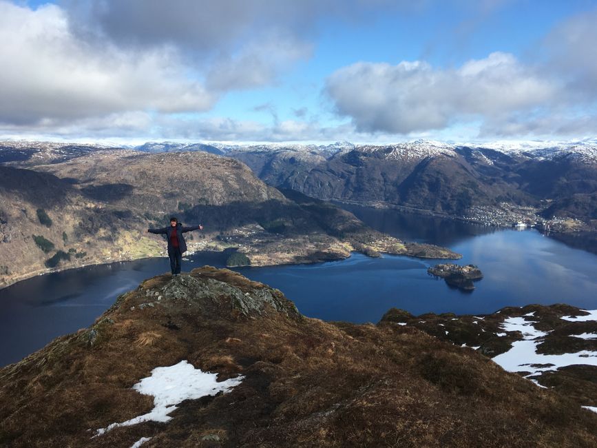
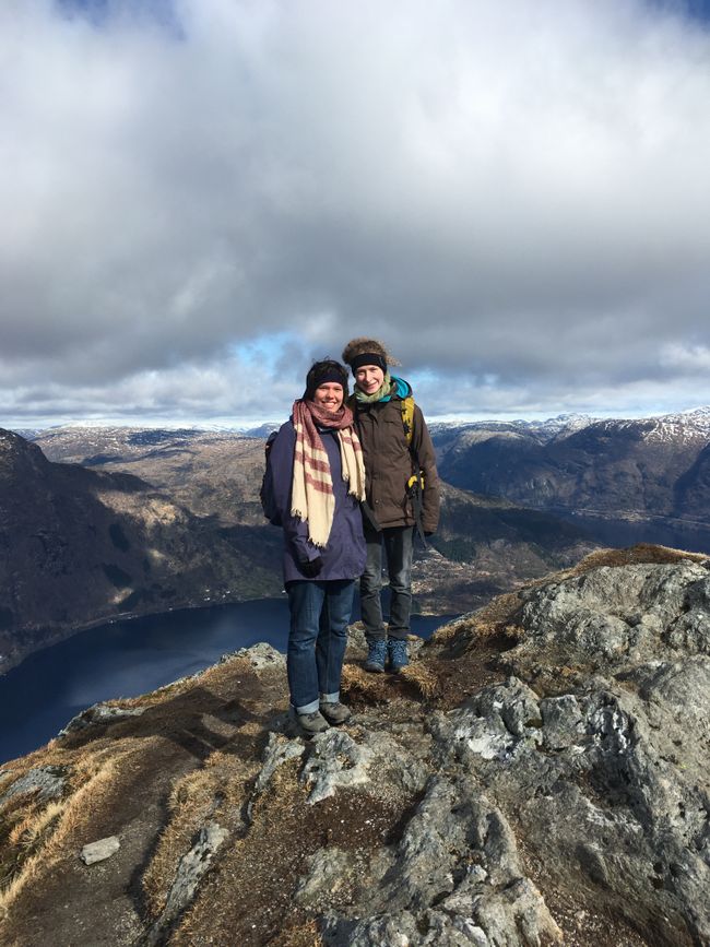
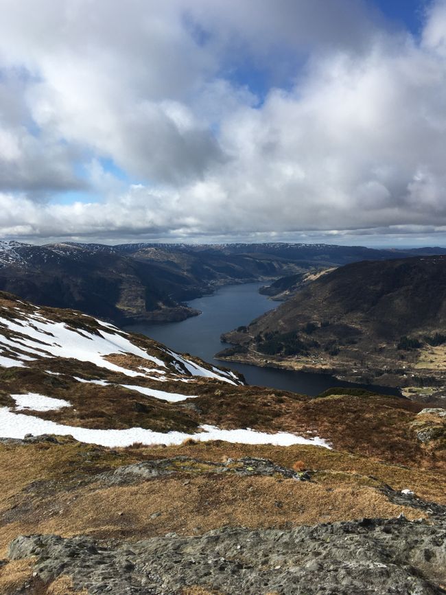
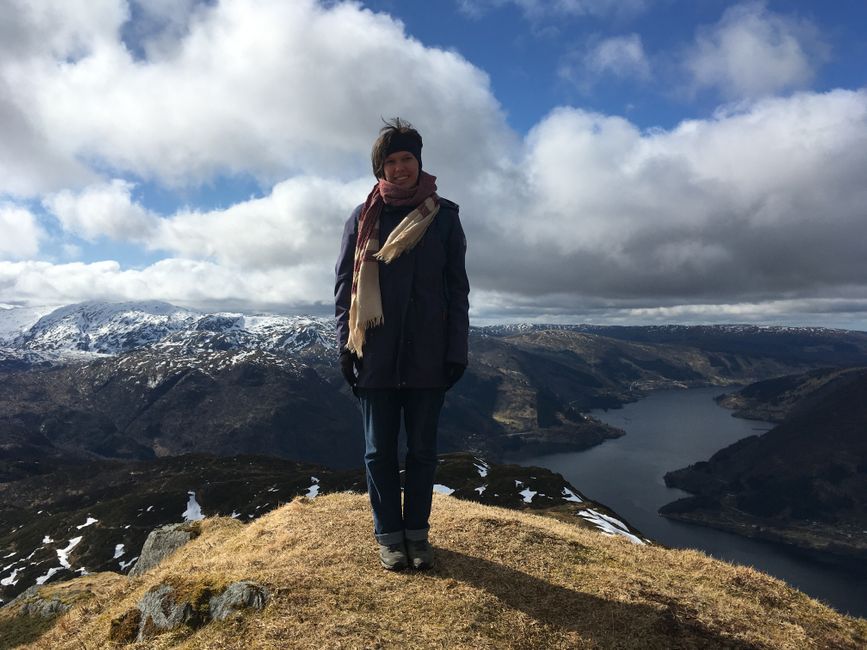
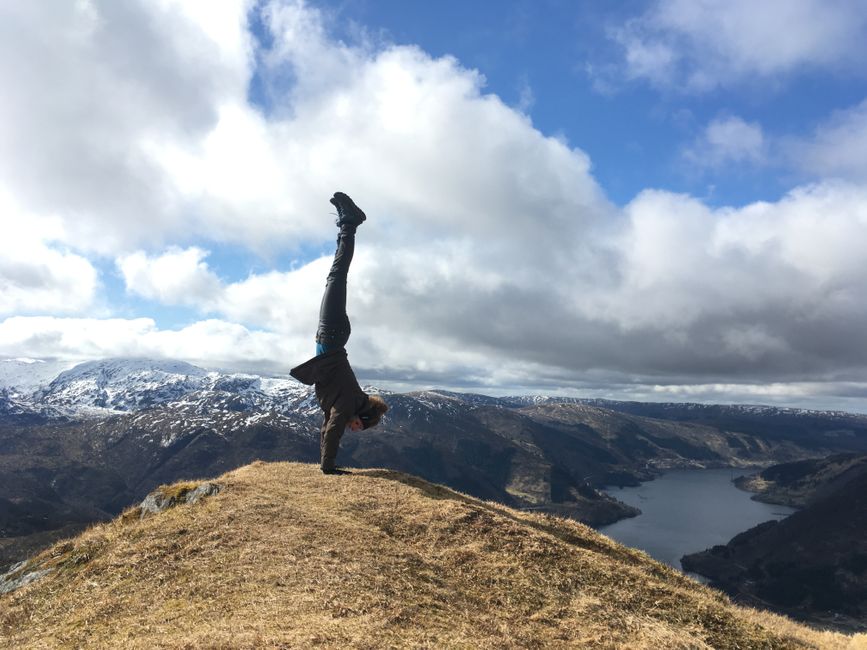
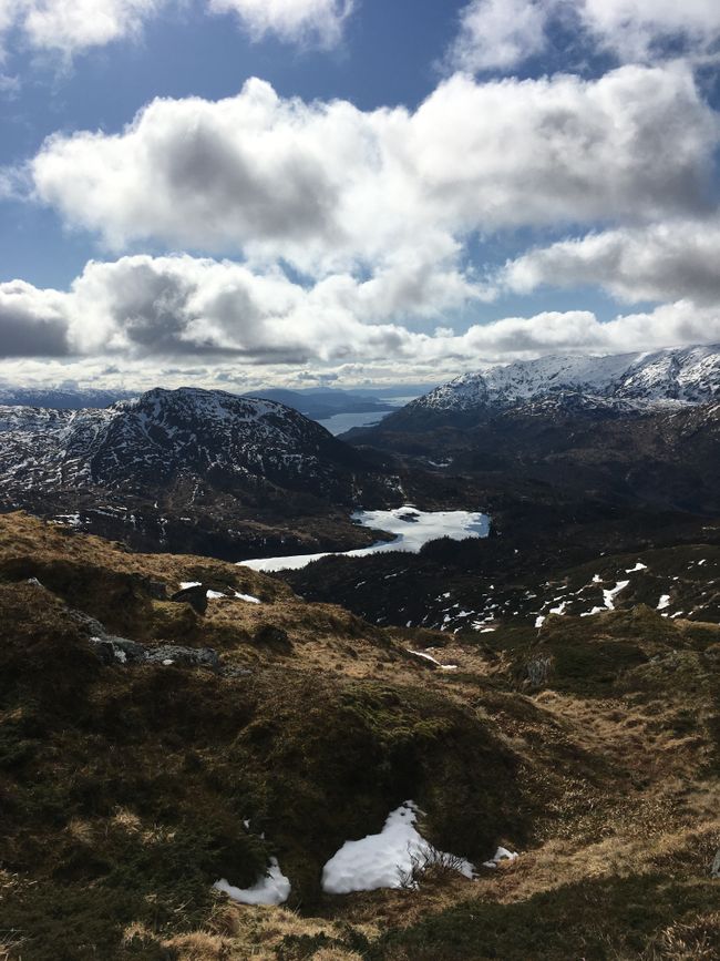
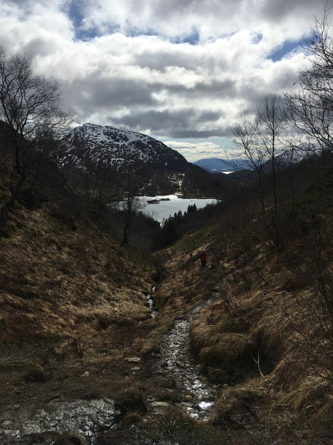
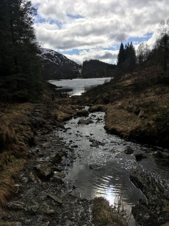
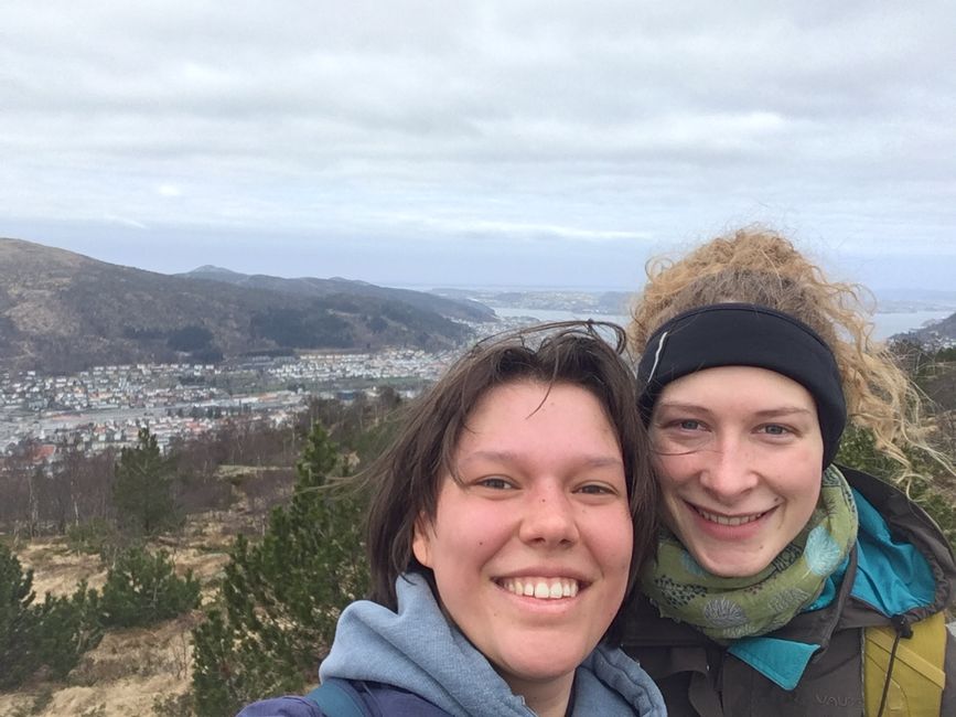
On Maundy Thursday, we ventured out of Bergen. We took the train towards Voss and got off at the second station, Trengereid. Our destination was Hananipa, which is 718 m high and promises a beautiful view over the fjord. The train station is only a little above sea level, and to get on the hiking trail, we had to climb many switchbacks through Trengereid itself. We were not the only ones, but most people drove by car to the start of the trail, which made us feel much more athletic. The trail went along a large drinking water reservoir, which was still frozen, and then along a small stream that snaked up the slope. That's why we were once again walking half in the water. The weather was nice: the sun was shining, and it was almost warm. But as soon as we got a little higher, it became windy and we put on our jackets again. We can proudly report that on the way up, we surpassed some Norwegians. Apparently, they hike slower in the rest of Norway, which is not Bergen. Once we reached the top, we had a phenomenal view over the fjord and the surrounding mountains, which suddenly seemed much smaller. We had a picnic in a sheltered spot and got a wet butt because the moss was not completely dry yet. But with the wind, everything quickly dried again. The hiking trail is not very difficult overall, as it is long enough to make the altitude difference imperceptible. We returned the same way. Pia sat down on the muddy path, but jackets can be washed. When we arrived at the train station at the bottom, we saw that the next train back to Bergen would only come in an hour and a half. So we decided to take the bus. The next one would come in 15 minutes. Unfortunately, the bus stop is a little higher up on the mountain. So we hurried back up and realized that the bus was from a different company and we had to take the next one. But it was all fine, you can eat a banana while waiting. The excursion was great, and seeing other mountains was a welcome change.
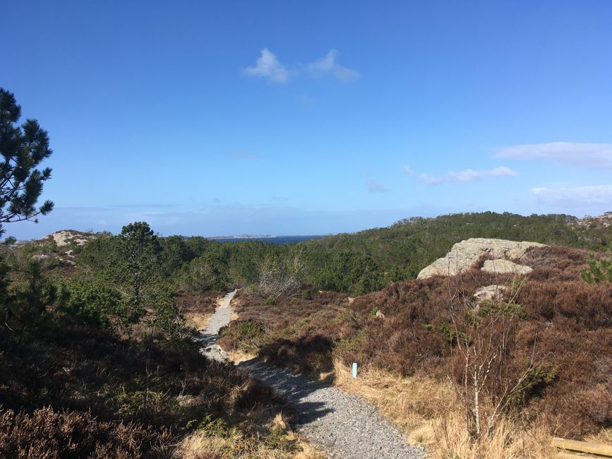
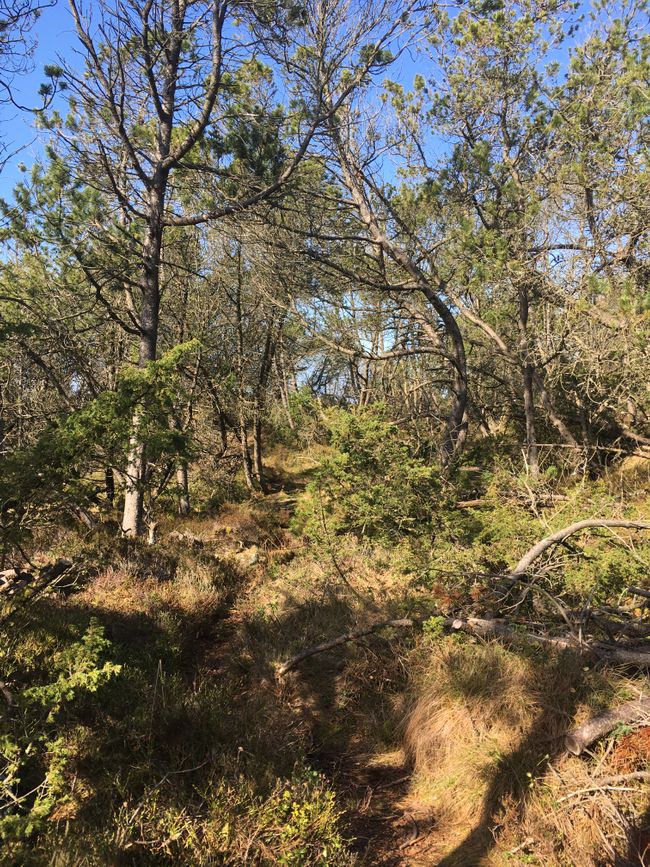
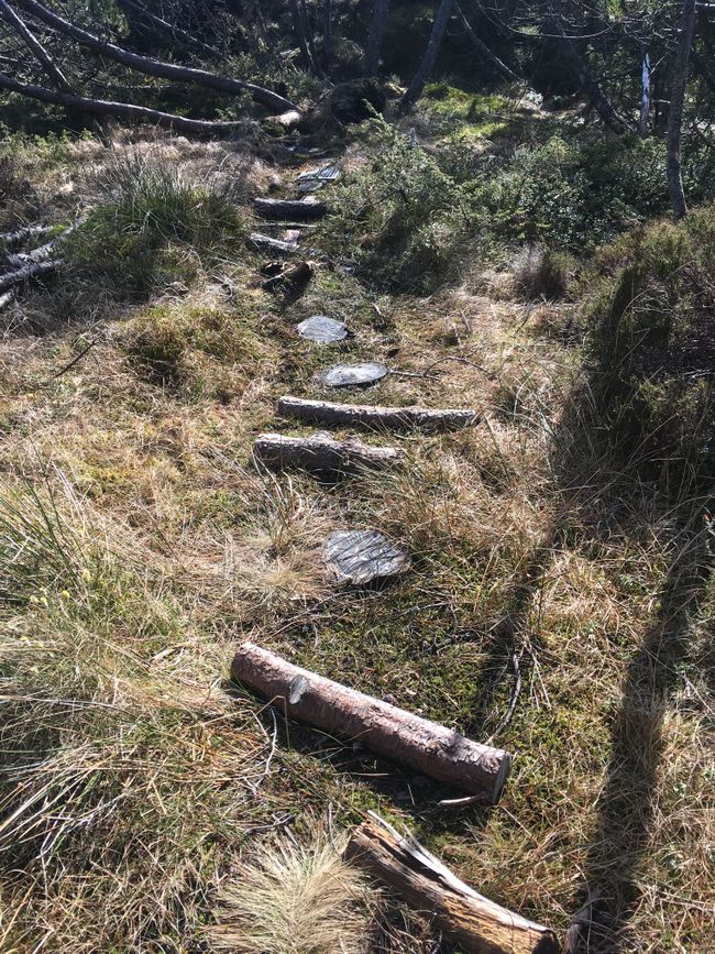
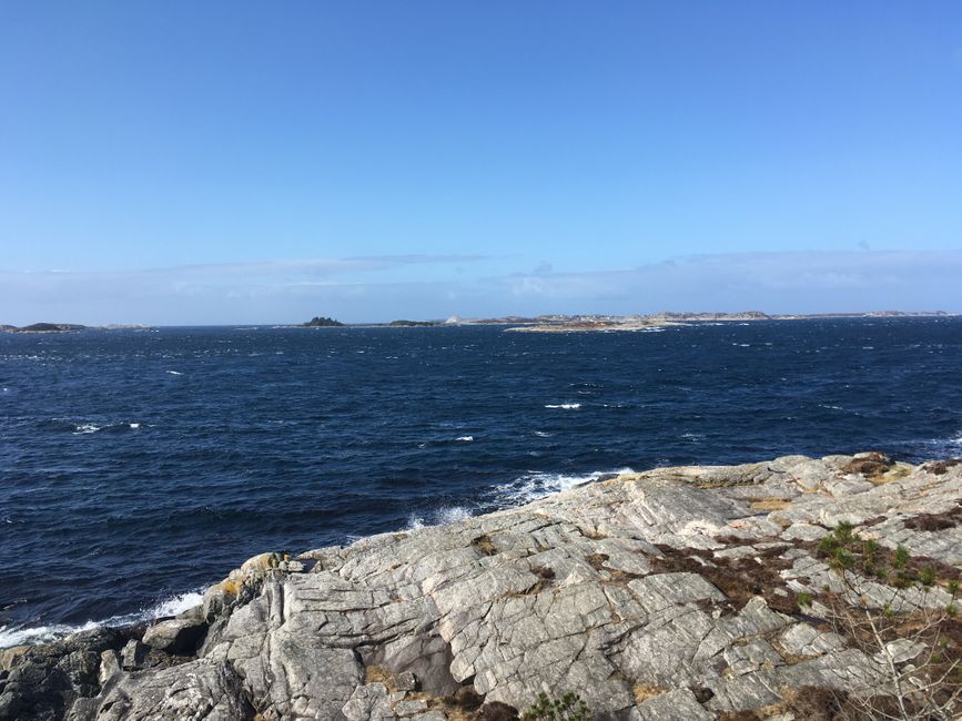
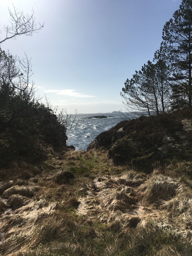
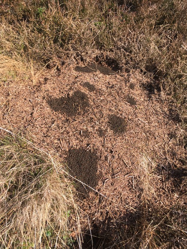
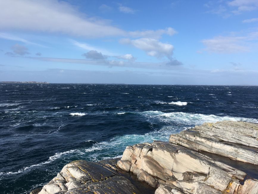
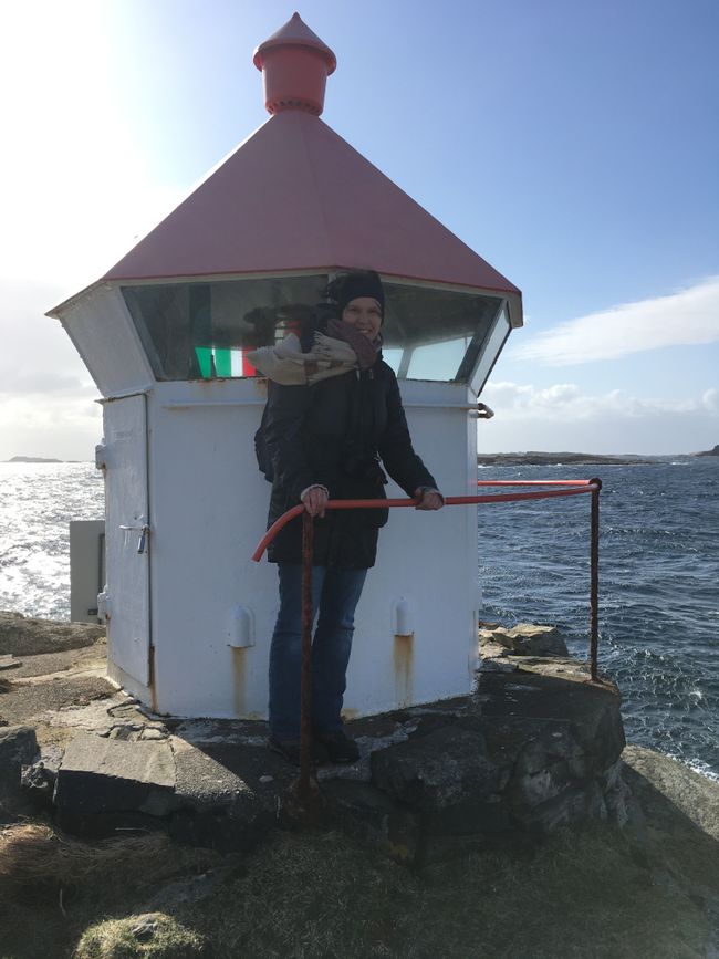
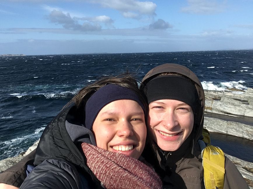
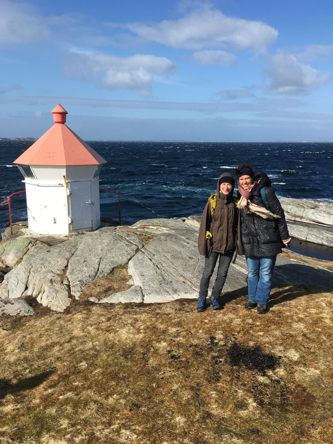
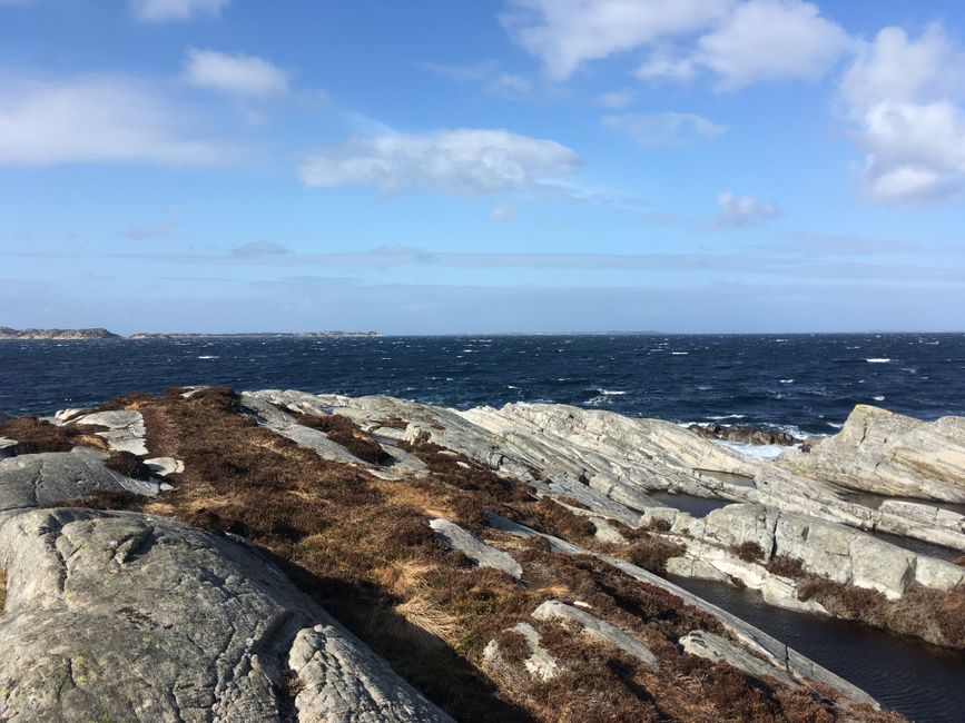
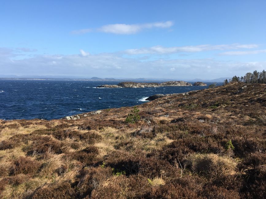
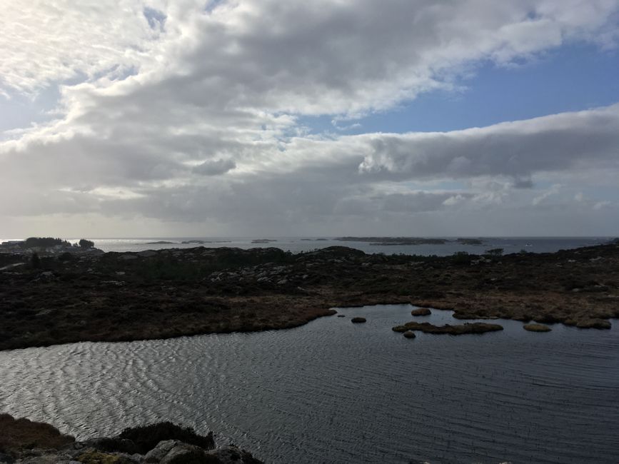
On Good Friday, we also went on a tour. But this time with fewer meters of altitude and more travel time. Since both of us missed the feeling of the sea a little, because even though we are constantly near the sea water, it doesn't have the charm of an open sea, our plans took us to the island of Hellesøy. It is one of the westernmost islands before Bergen and is located at the northernmost tip of an island chain. We took the bus from the city center to Ågotnes first and then changed to the next bus to Hellesøy. The entire journey takes about two and a half hours, but it's absolutely not a problem because traveling from island to island is diverse and seeing the sea is always beautiful. Along the way, you can see many colorfully painted boathouses, which look enchanting with their color dots in the vastness of brown and blue. So the journey alone is definitely worth it. When we arrived in Hellesøy, we wanted to take a short circular hiking trail to the lighthouse at the tip. The weather was not bad. Clouds and sun alternated quickly because there was a strong wind with gusts of 25 m/s. A map at the beginning of the trail showed that there was a smaller path closer to the coast next to the main path. So at the given fork in the road, we left the main path and walked along a really small footpath, which actually led us directly to the cliffs. It smelled really nice of the sea there. But it was also our first point of the day where we couldn't find the way further. Fortunately, nowadays we have a mobile phone, a hiking app with trails and GPS signal. And all that told us that we had to go back a bit to the point from which we had walked quite directly to the cliffs. From there on, the marked trail from the app was unfortunately no longer recognizable. With a lot of imagination or alcohol, you might have been able to guess it. Nevertheless, Pia and I continued to follow the virtual path in good spirits. We simply trudged through moist meadows covered with heather and juniper, through a bit of forest, over rocks and boulders, not through the anthills and also didn't fall off the cliffs. Just along where the tracking symbol led us. We never had wet feet, at least not completely. And we actually did make it to the lighthouse and saw lots of sea. We looked directly over to Iceland, Greenland, and the Labrador Sea. But it was so windy that we didn't stay there long and walked back to Hellesøy on the main path. We took another short break along the way to strengthen ourselves in another sheltered spot. By the way, we argued there, which is only a half miracle because with Pia, everything is usually a difference of opinion. That's why this could really go down in the history books of 'Pia & Vicki'. 😀 When we arrived in Hellesøy, we sought shelter from the wind in the bus shelter and didn't have to wait long. The journey back was just as beautiful as the journey there, and we enjoyed the warmth and calm in the bus.
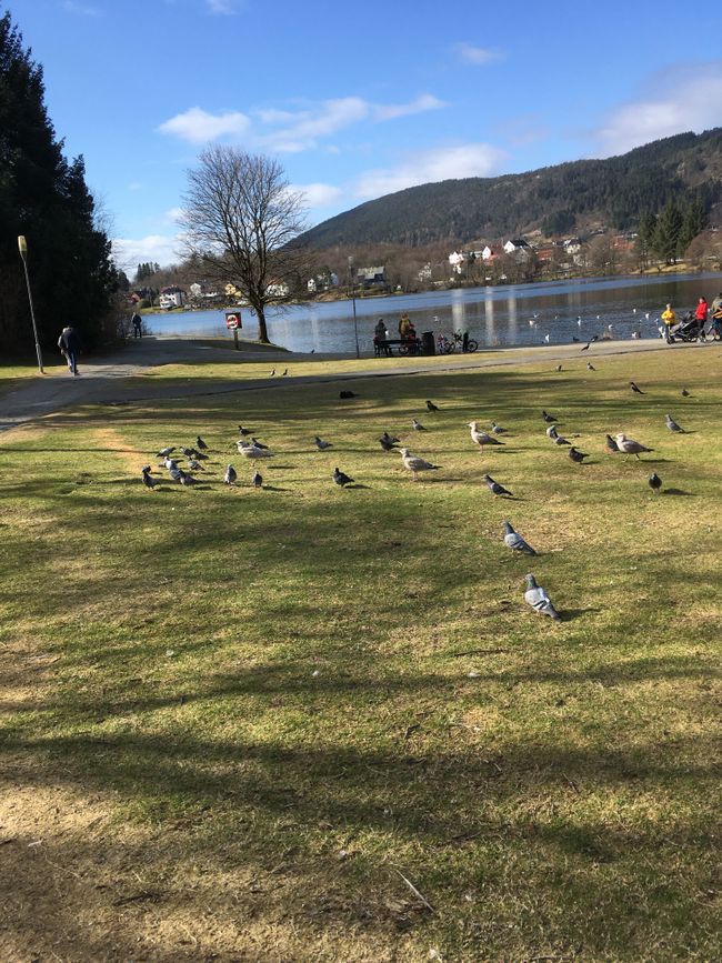
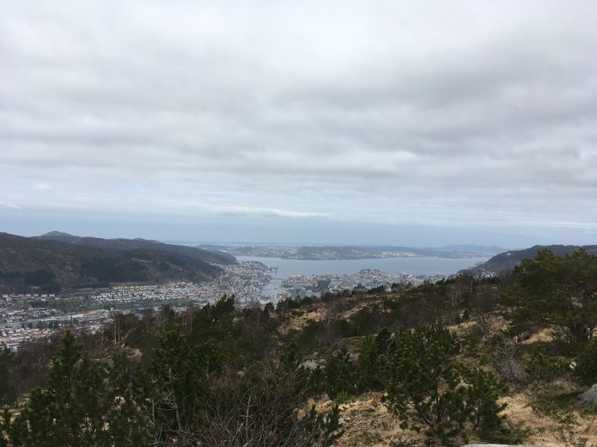
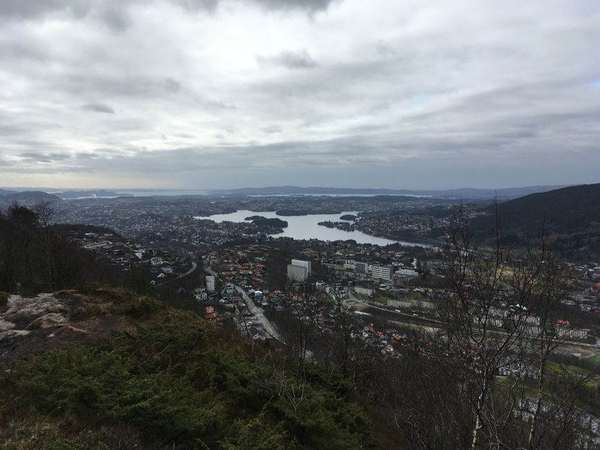
On Saturday, I was a bit tired, but days off have to be used. This time the distance of the excursion was manageable. We simply climbed the mountain Landåsfjellet next to Ulriken, which is east of our dormitory. We walked from Fantoft towards Sletten along Tveitevannet. Many pigeons and ducks always gather on the meadows by the lake, fed by enthusiastic people. This time a black cat was prowling around, having fun with the flock of pigeons. On the grass, she didn't have good cover, but she already made use of the shade. The probability of catching something wasn't that good, but scaring the pigeons was equally appealing. But we continued walking. At the beginning of the trail, there were stairs or it was just steep again. Once we reached the top, we had the usual view over Bergen. Further back on the mountain, there were again some small lakes where families met for a picnic. One brave woman even went swimming. We continued our way and quickly returned to Fantoft. The round trip was nice but unspectacular.
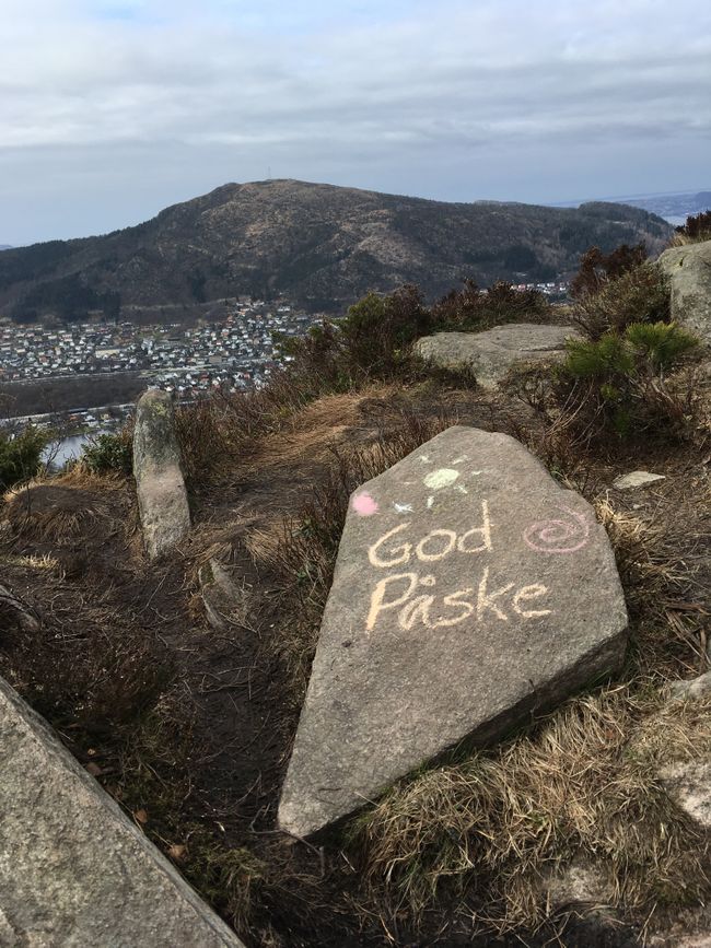
On Easter Sunday, the weather had worsened, and we enjoyed Pia's homemade Easter bread with a cup of coffee on the couch. So that was our Easter in Norway. As far as I can remember, not much happened on Easter Monday.
What Pia and I are still hoping for is that it finally starts to turn green. But I can already spoil it a bit: at the beginning of May, the grass is still not green, and only a few trees have buds.
Otherwise, here are our tours:
Hananipa:
Hellesöy:
LAndasfjellet:
பதில்
பயண அறிக்கைகள் நார்வே
