Arthur's Pass
வெளியிடப்பட்டது: 22.02.2019

செய்திமடலுக்கு சந்தாதராகவும்
For a long time, the New Zealanders were looking for a way that would safely lead them through the Southern Alps. And if you look at the map, you can see that only two roads cross the high mountains: at the southern end and at Arthur's Pass, named after its discoverer Arthur Dobson (why they chose his first name, I don't know, though).
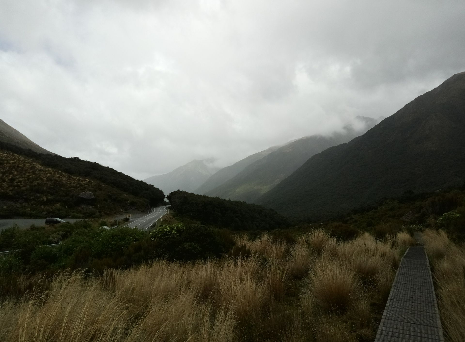
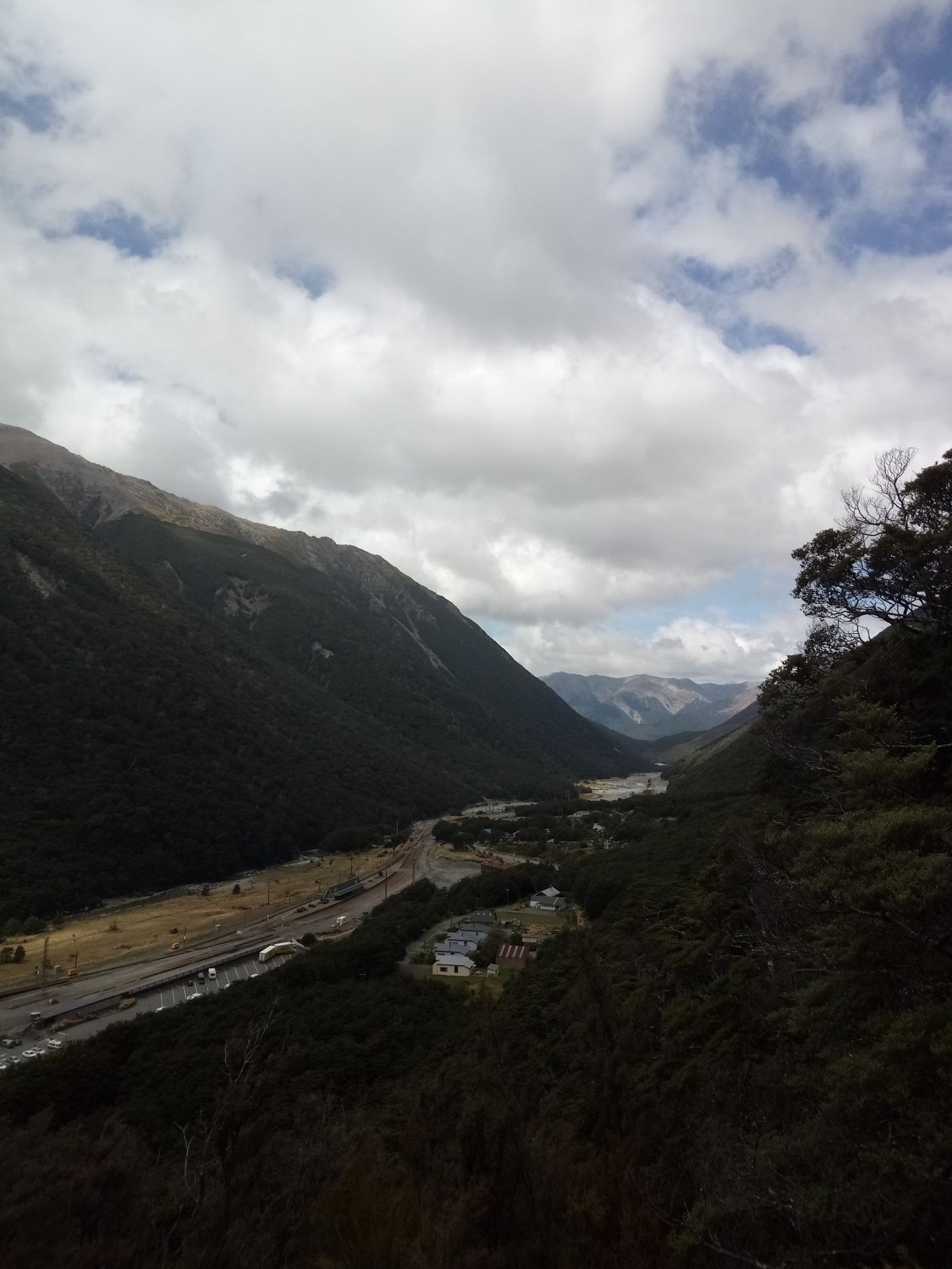
So one last time, I ventured into the mountain landscape. It takes a good two hours by car. The route is quite demanding, steep and narrow, and it is said that some buses have already broken down on the way.
So this is one of those routes where the driver sweats while the passengers can enjoy the beautiful landscapes.
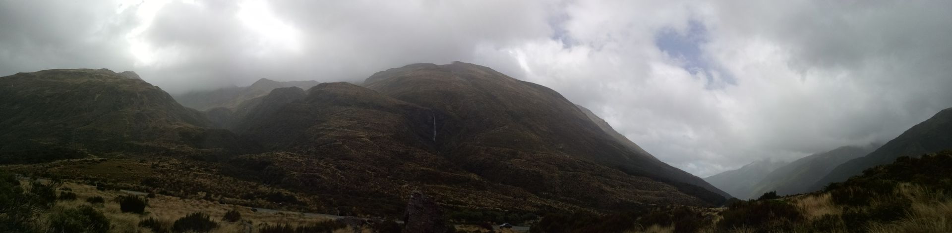
However, the closer we got to Arthur's Pass, the worse the weather became. To be completely honest, it was miserable.
The wind was very strong and there were frequent showers. It was even so bad in the heights that a hiking trail was closed.
Unfortunately, it was the hiking trail that I wanted to do.
I love this kind of thing...
Instead, I walked on the other tracks, stopping here and there.
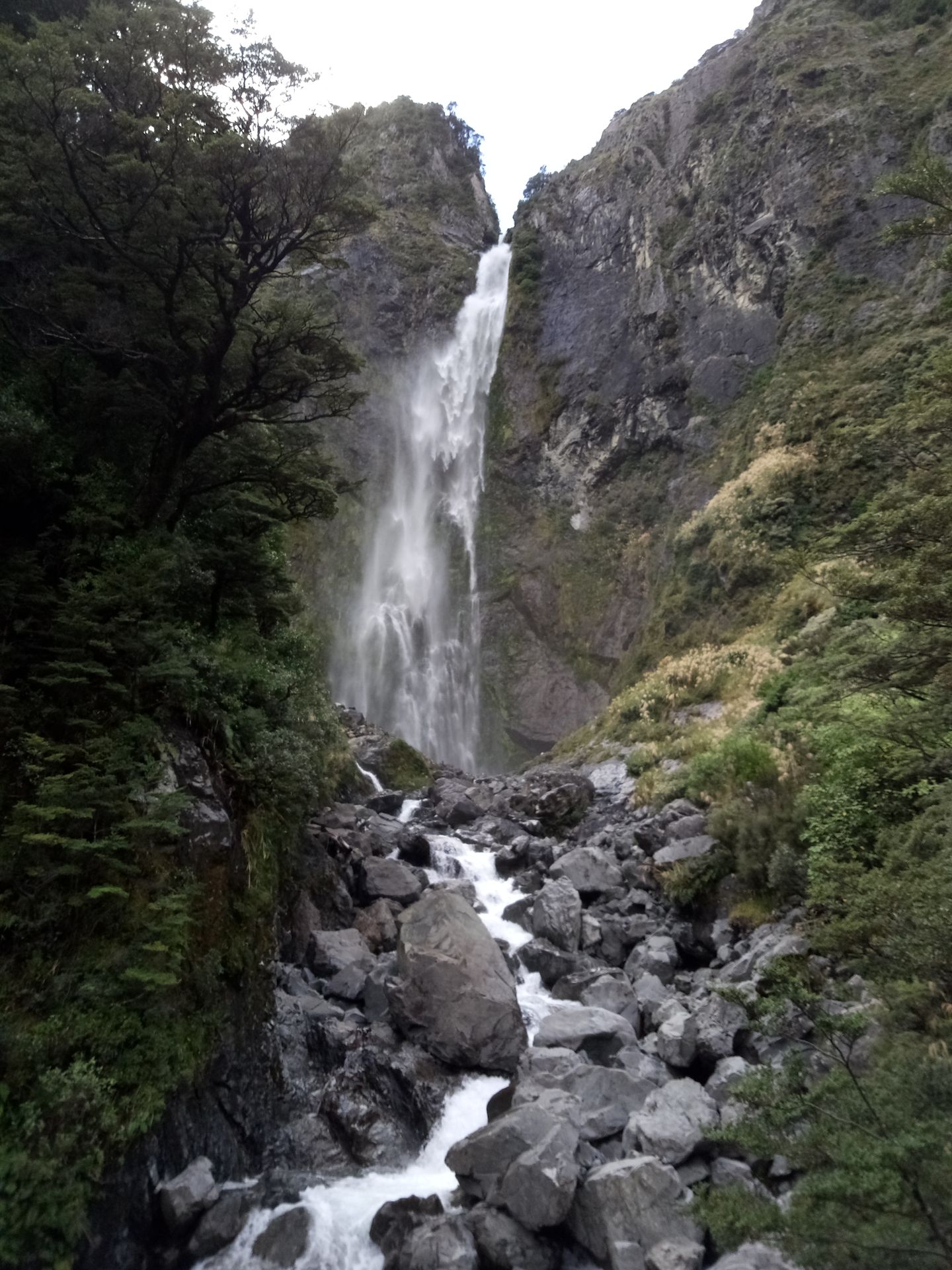
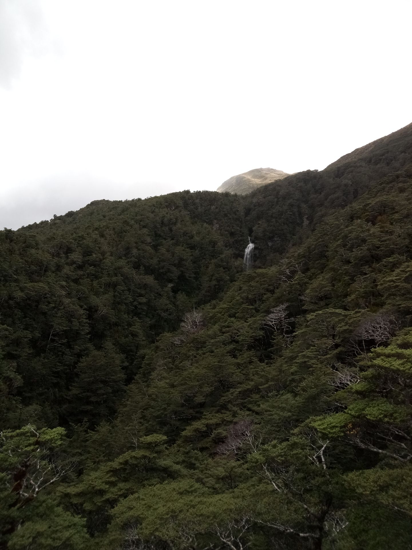
In the area, there are many waterfalls again, the largest of which are Bridal Veils Fall and Devils Punchbowl Falls. But unfortunately, the names are more spectacular than the waterfalls themselves.
I only had four hours in Arthur's Pass and after the other hikes, I had plenty of time left.
And so I took on the closed track. It was open until the treeline, after that, the wind was simply too strong.
The name of the mentioned hiking trail is the Avalanche Peak Track and it got this name for a reason: there are supposed to be avalanches on the mountain wall regularly, even in summer. On good days, you should have a magnificent view of the Alps from the peak. I didn't have a good day, but I had spectacular views on other trails.
This track could have been the most difficult hiking trail in New Zealand for me, had I completed it. But I only walked in for half an hour and then turned back. Overall, you should plan 6-8 hours for the entire route.
My goodness! That was exhausting!
The trail itself is only 2.5km long, but it involves 1100 meters of elevation gain. This crosses the fine line between hiking and climbing, because sometimes you move straight up vertically.
It was tiring but fun because you had to stay focused. I'm really sorry that I couldn't do it all. But maybe another time...?
In any case,
I could really enjoy the ride back because my legs were shaking when I reached the bottom.
செய்திமடலுக்கு சந்தாதராகவும்
பதில்

பயண அறிக்கைகள் நியூசிலாந்து