BLOG 15 - Top of the World & Taylor Highways to Eagle, Chicken & Tok
شايع ٿيل: 15.08.2022
نيوز ليٽر جي رڪنيت حاصل ڪريو
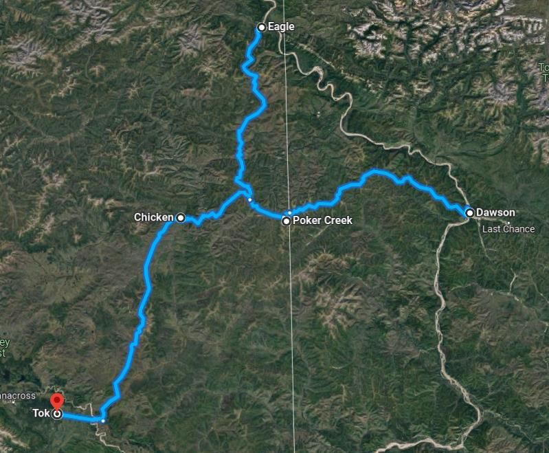
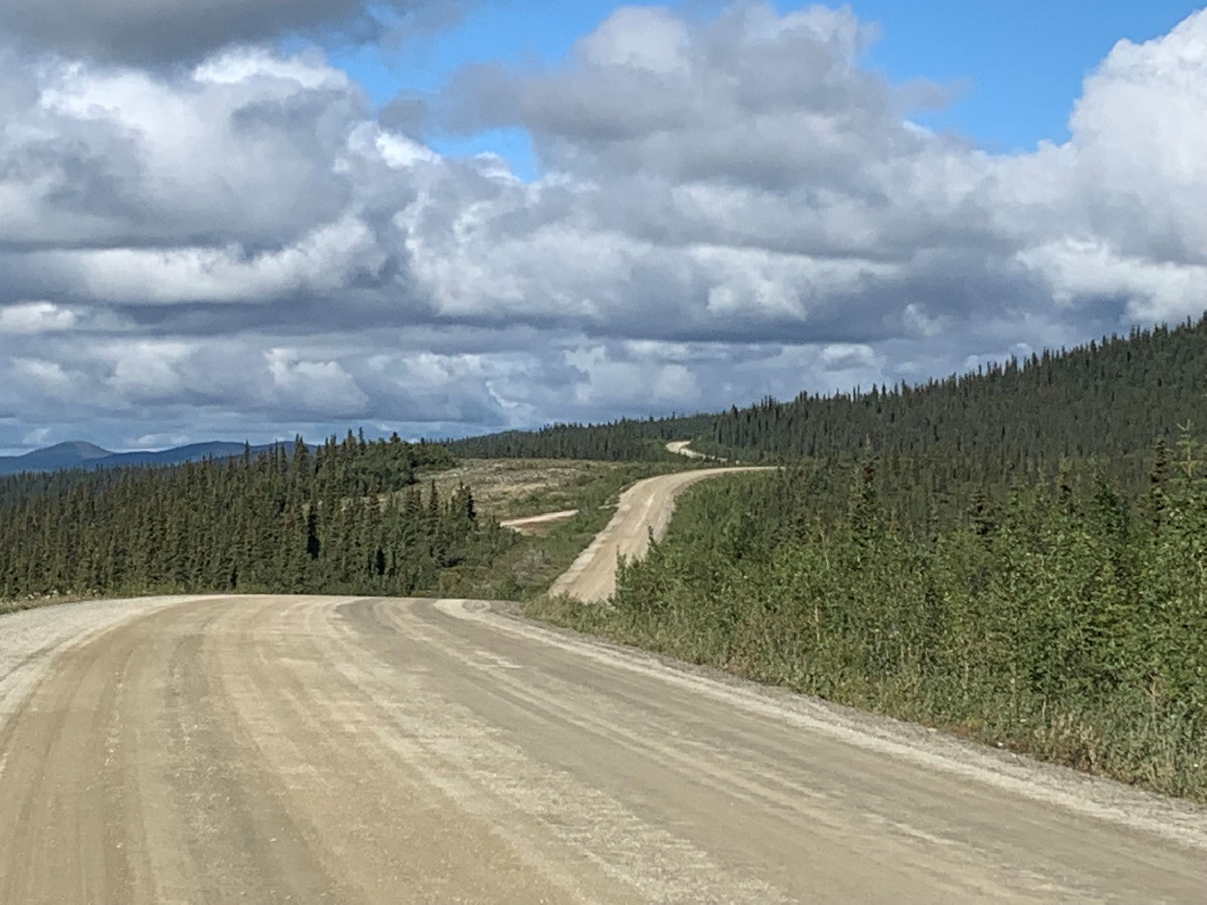
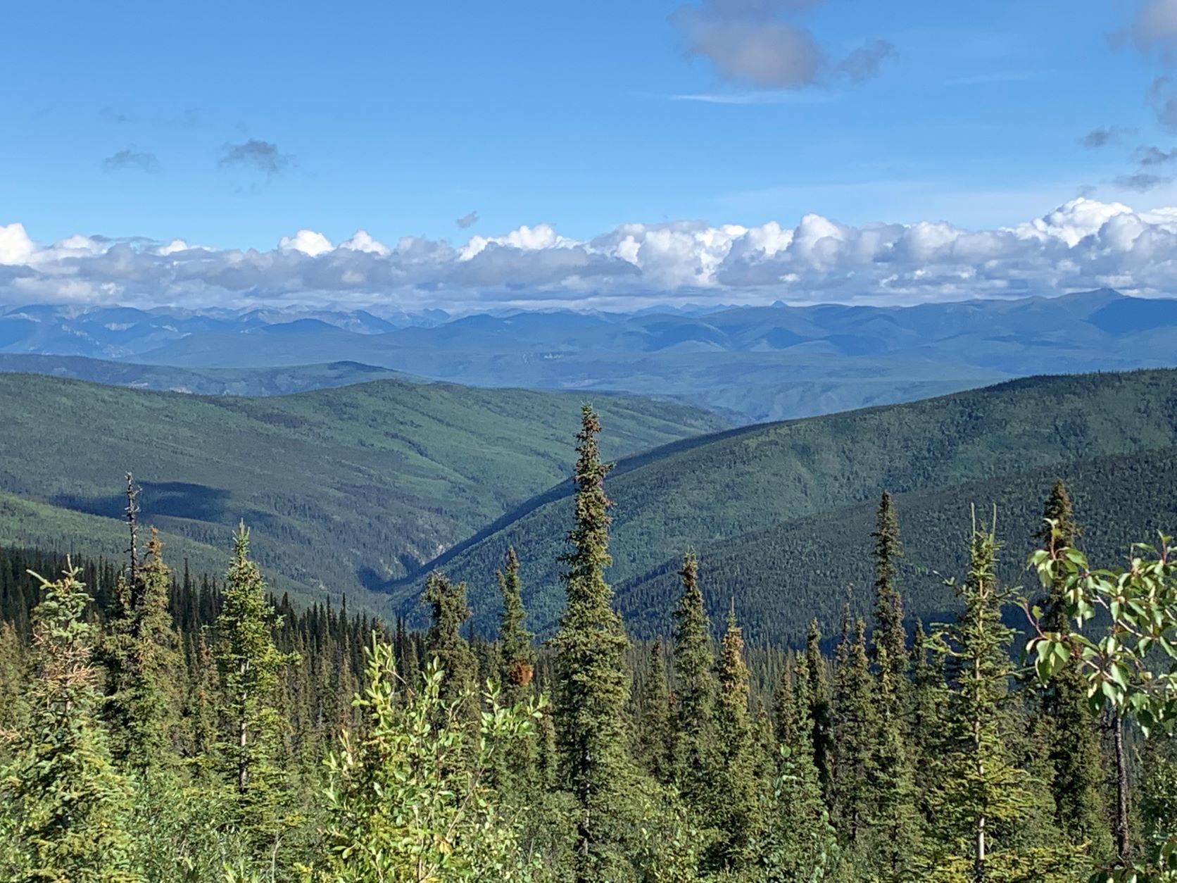
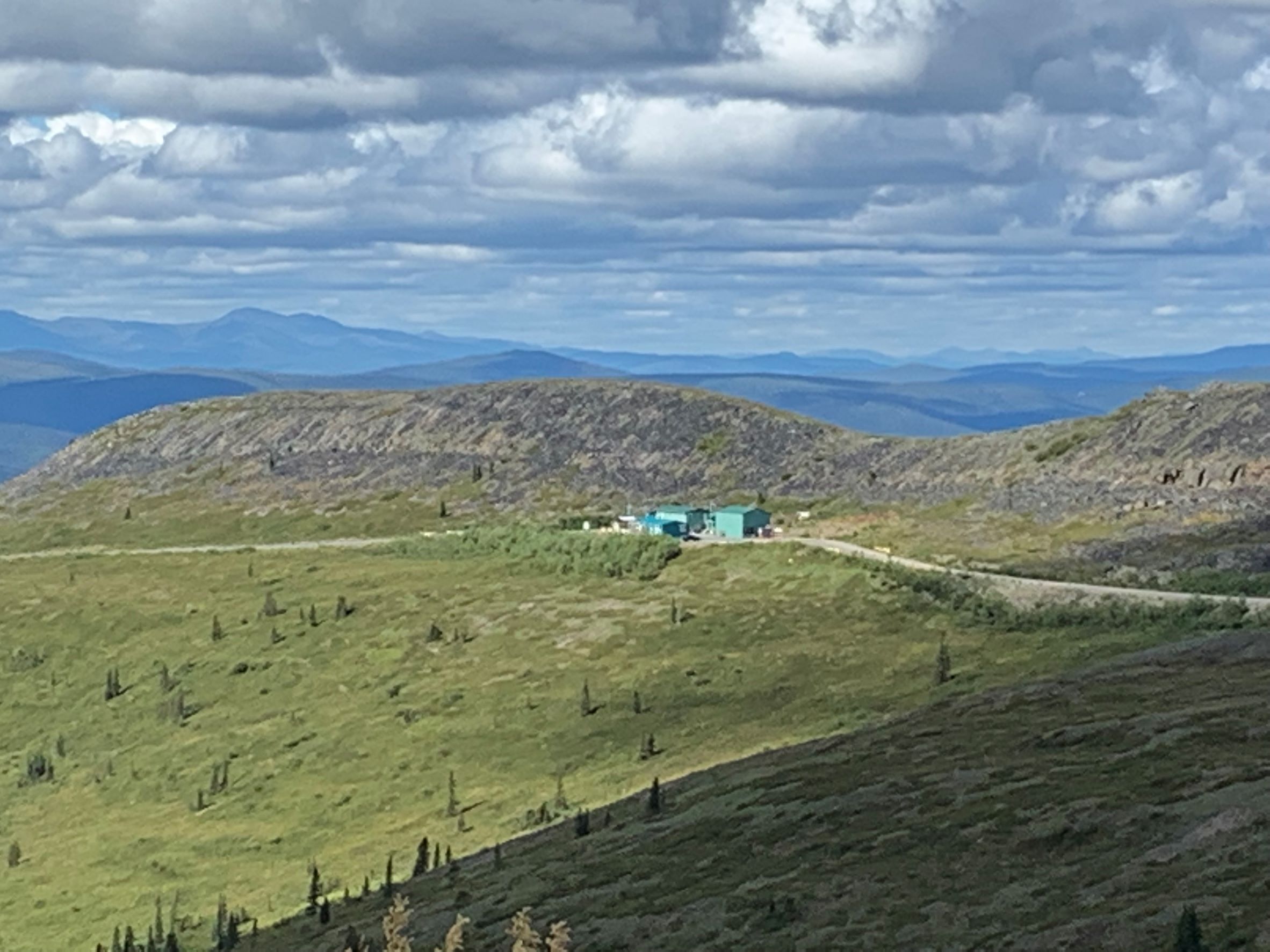
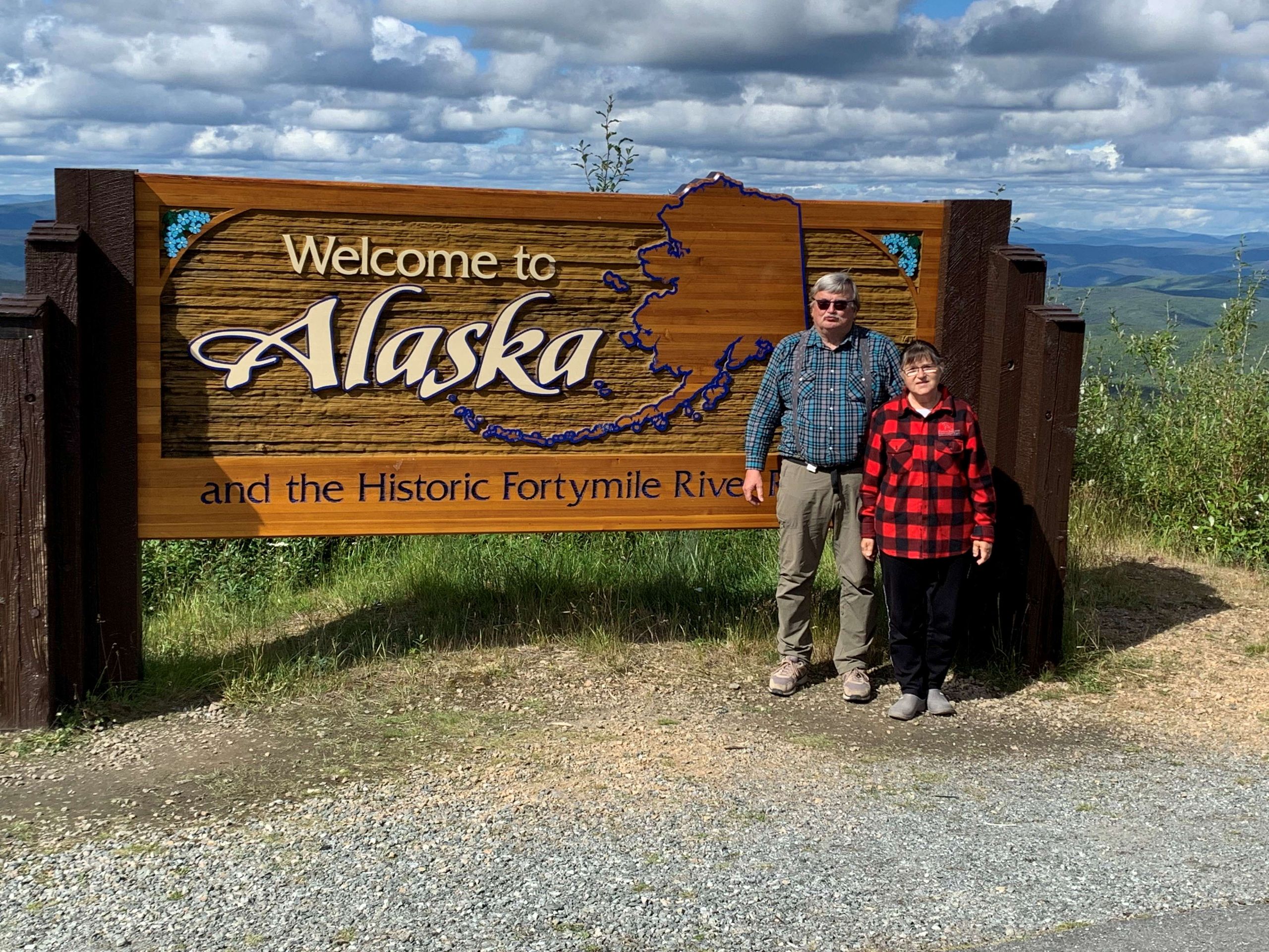
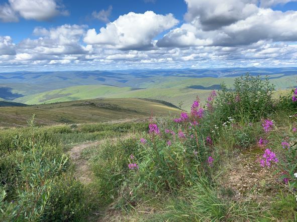
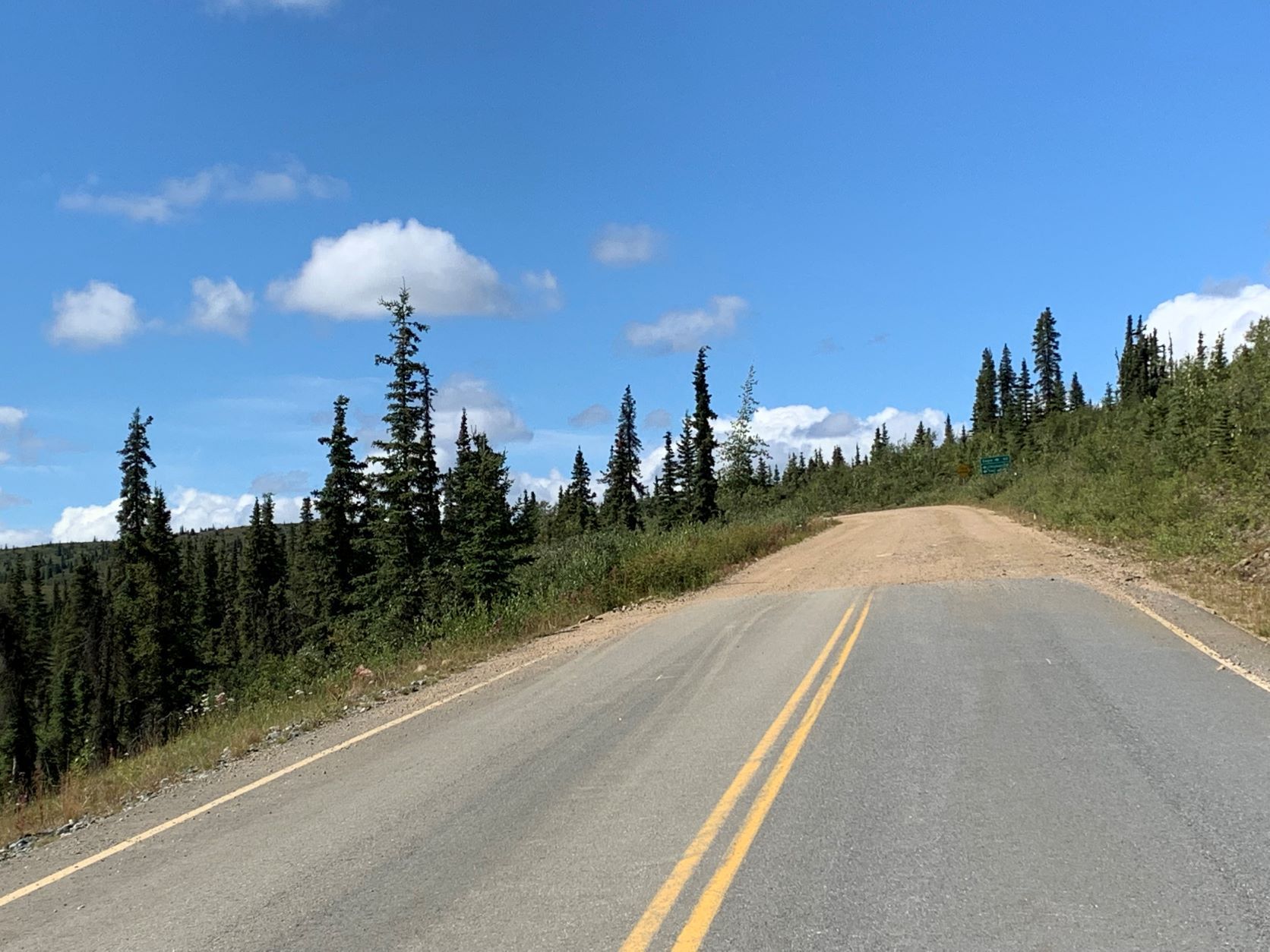
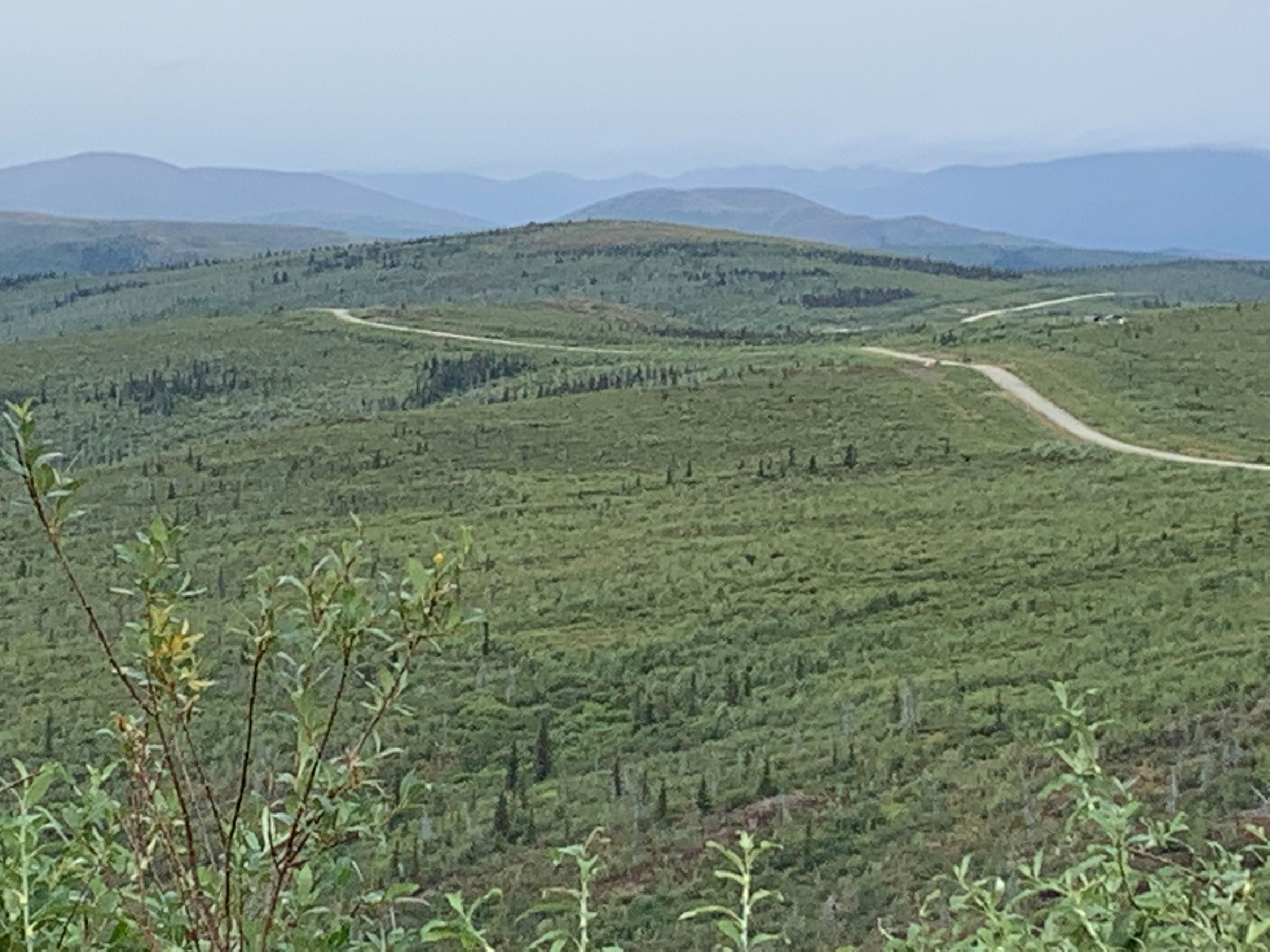
After the ferry across the Yukon, we first drive about 130 km along the 'Top of the World' highway, which is not paved, but very easy to drive on. You have beautiful views of 'the wide country', which is largely uninhabited. After a little more than 100 km, we come to the USA border station 'Poker Creek' - the northernmost road border crossing to the USA. The clearance is surprisingly fast - computer check of our passports, question whether we are importing commercial goods, weapons or drugs, and we are released to Alaska with an 'Enjoy your trip, folks'. Unfortunately, the earlier, special passport stamp with the caribou logo is no longer in use.
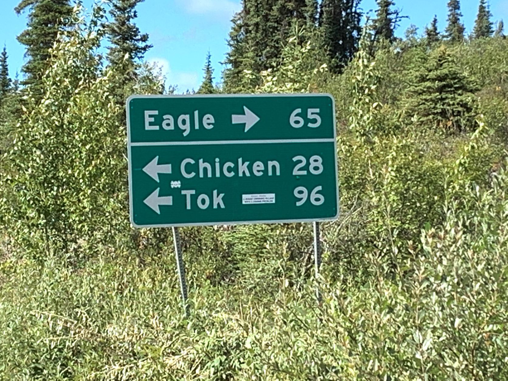
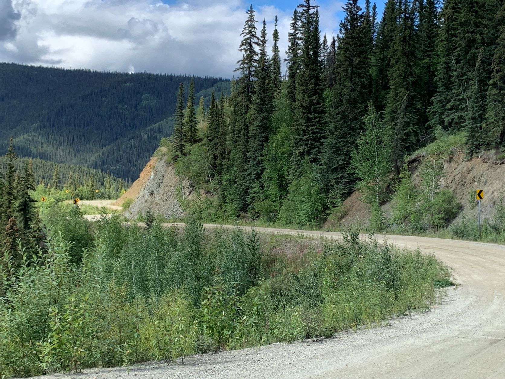
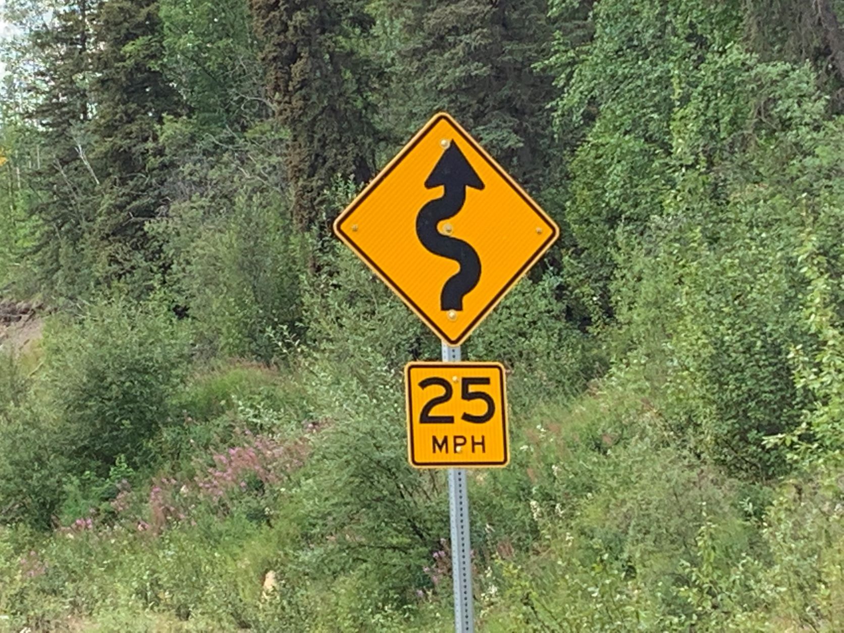
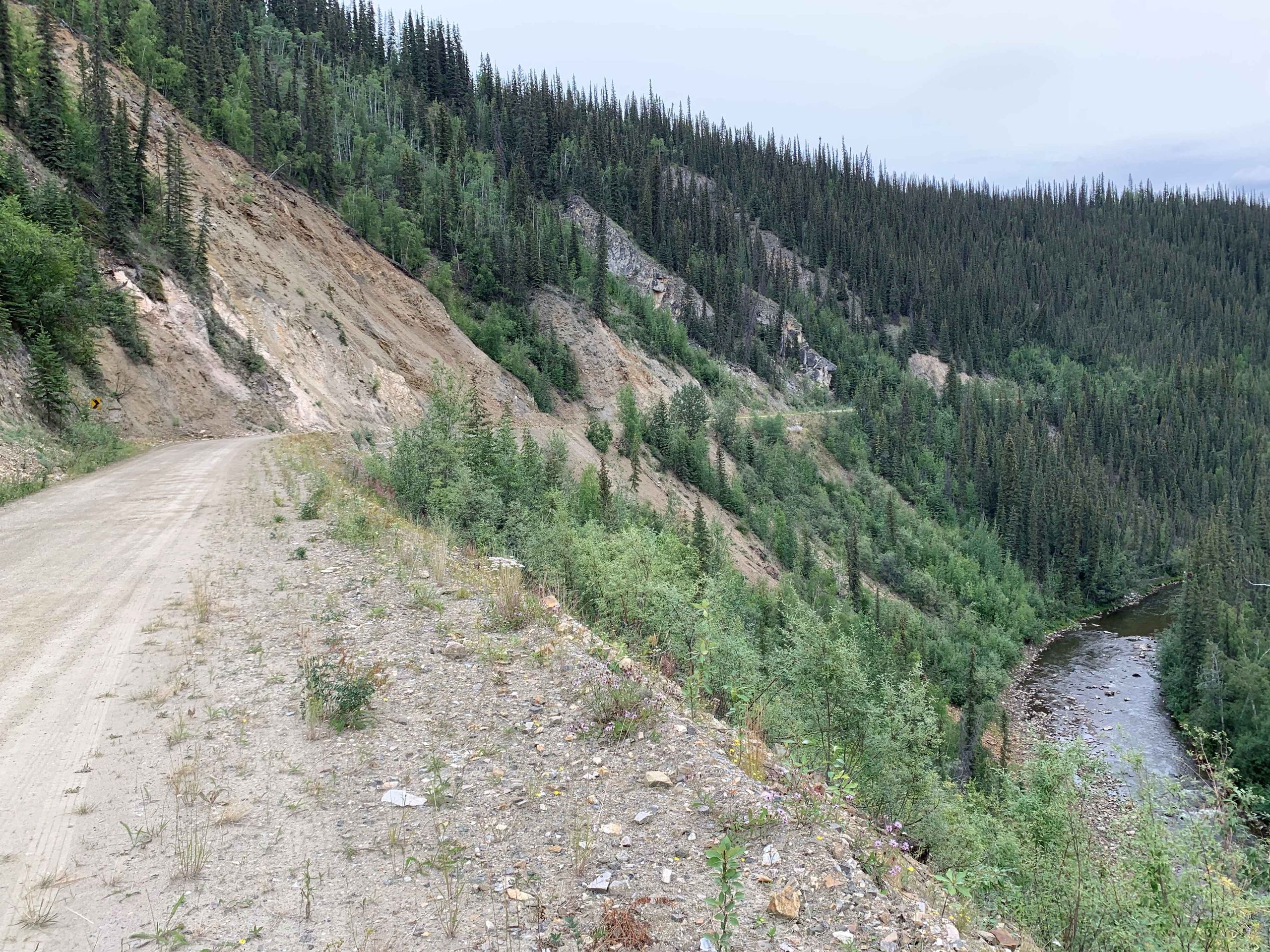
Soon after, the Top of the World HWY ends and we turn onto the Taylor Highway towards Eagle. Eagle will be the northernmost point of our journey. Here, too, about 100 km of gravel roads await us, which, however, are quite different and overall, significantly worse than the Top HWY.
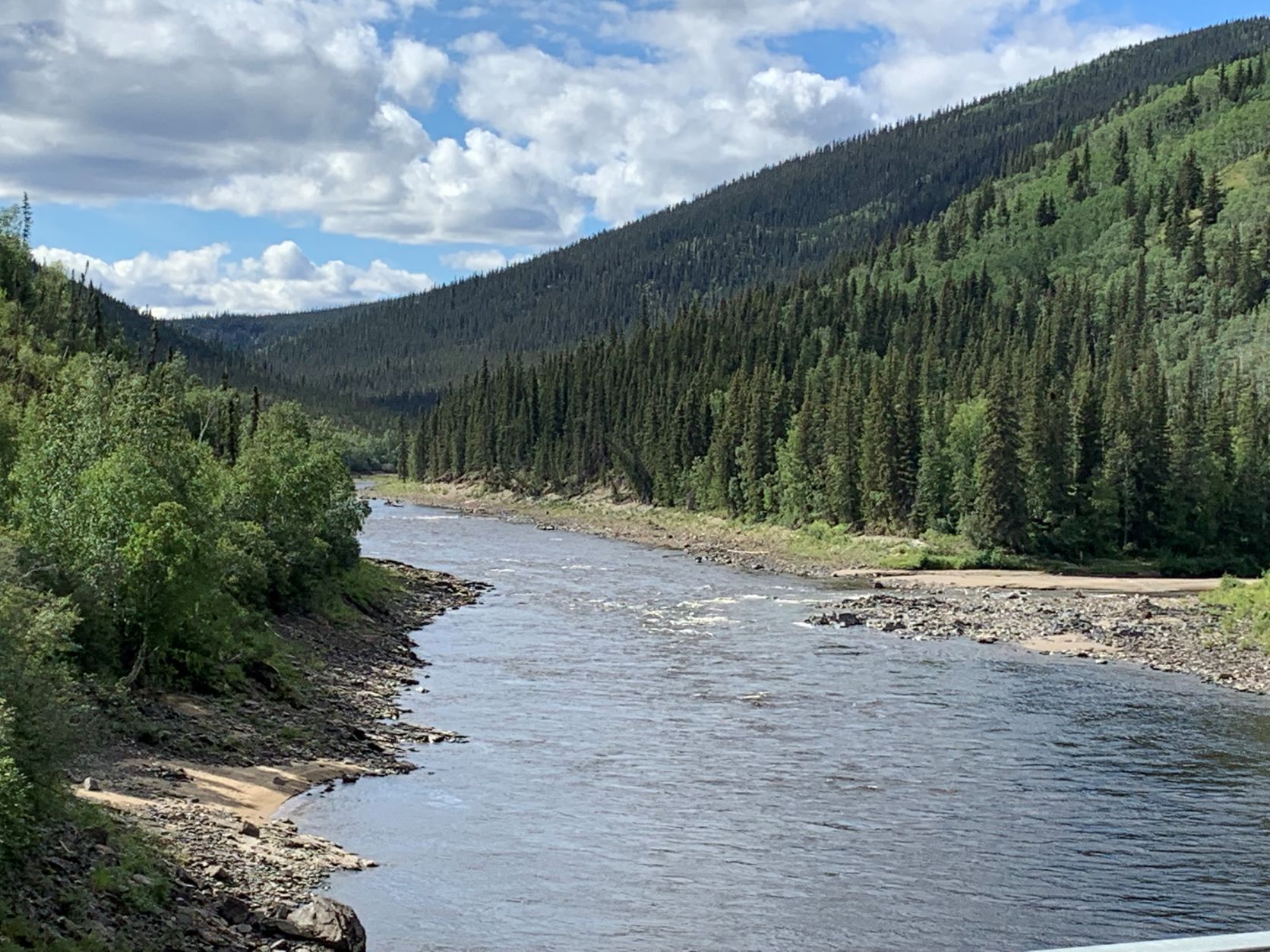
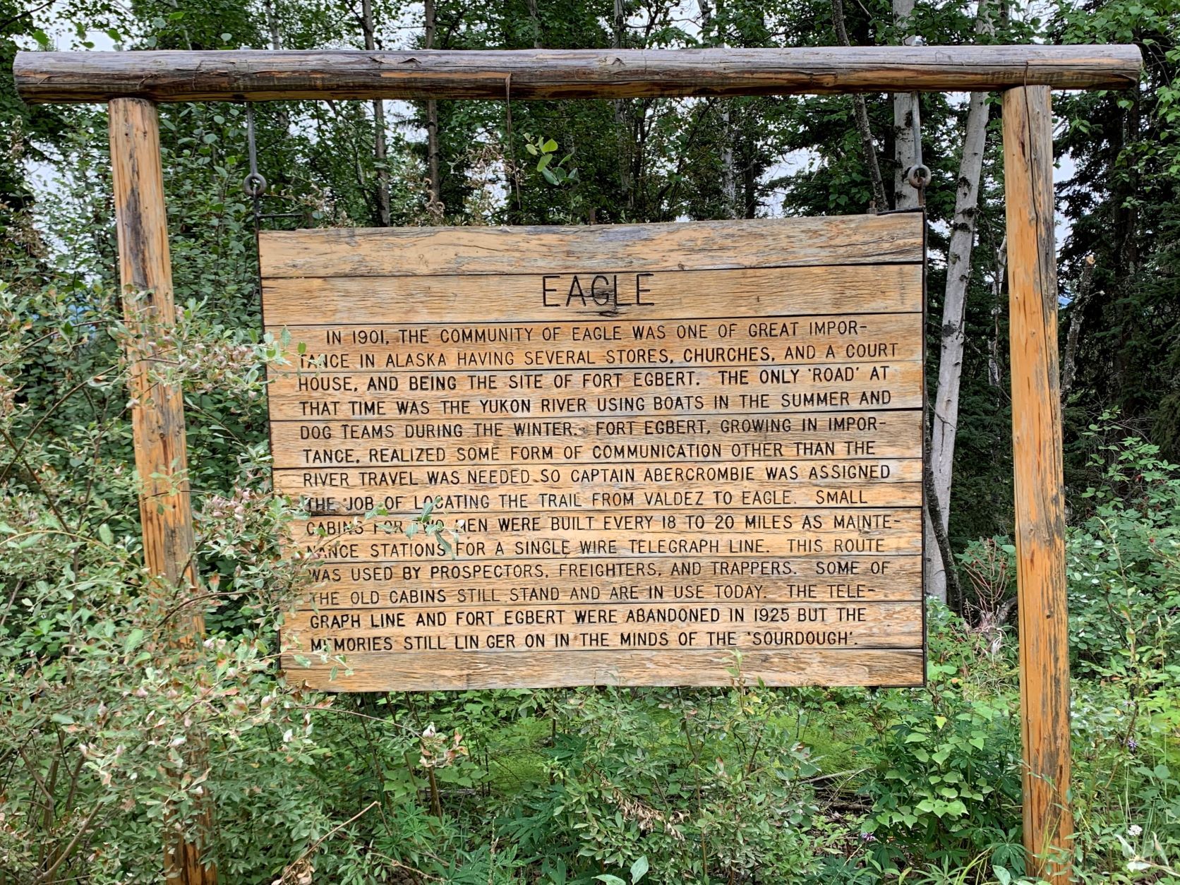
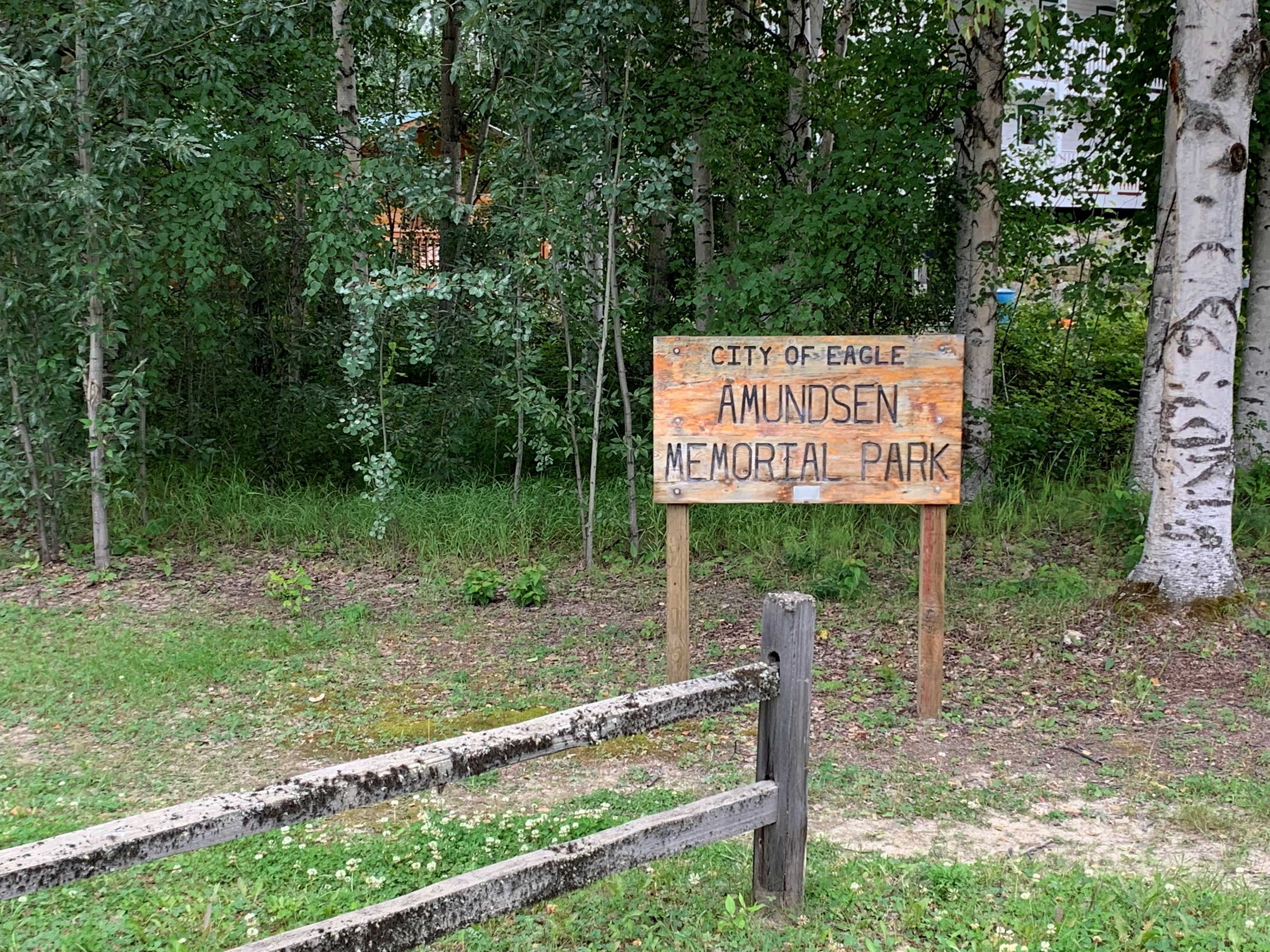
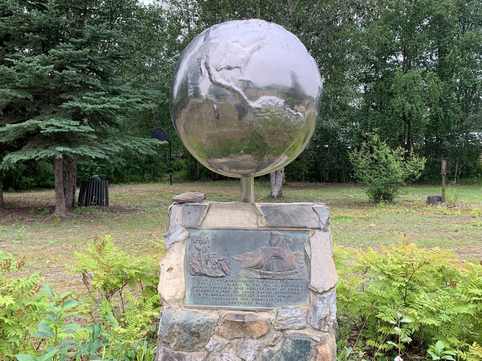
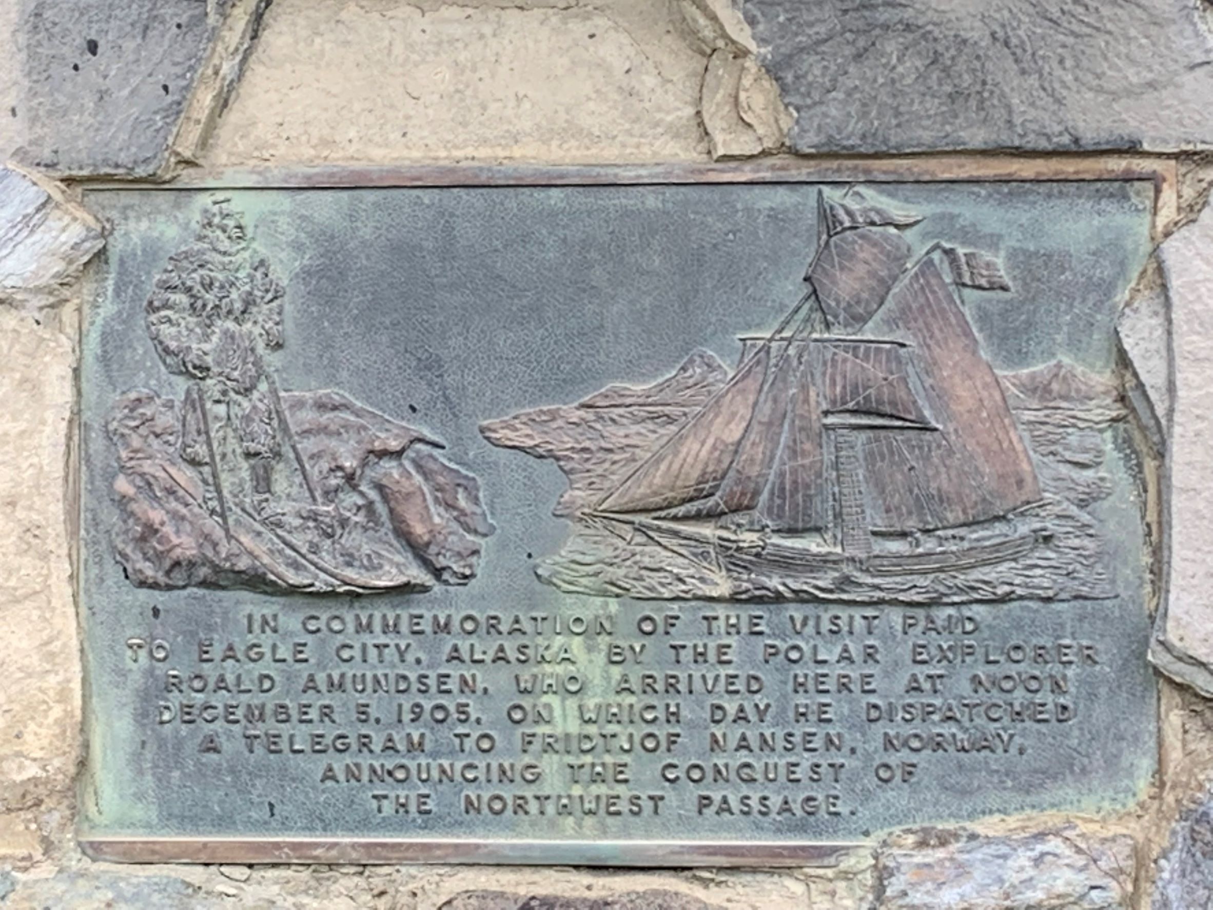
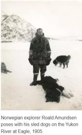
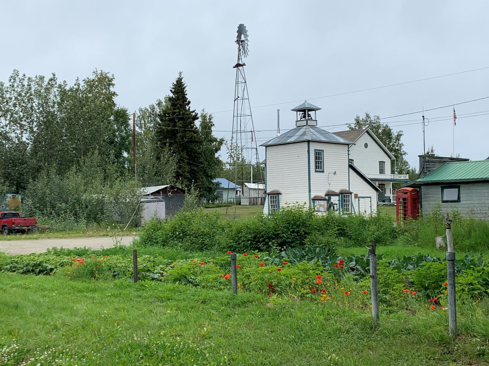
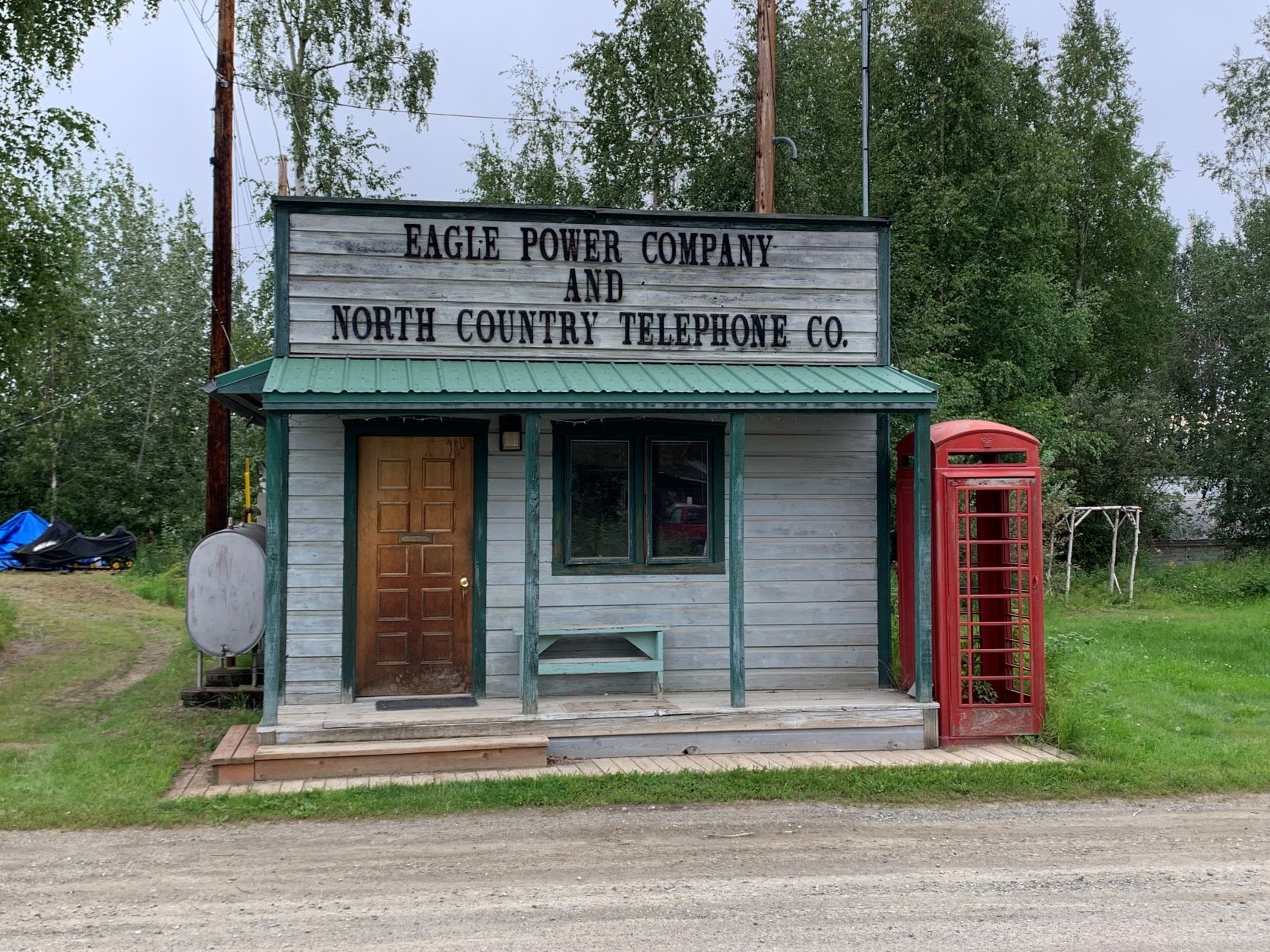
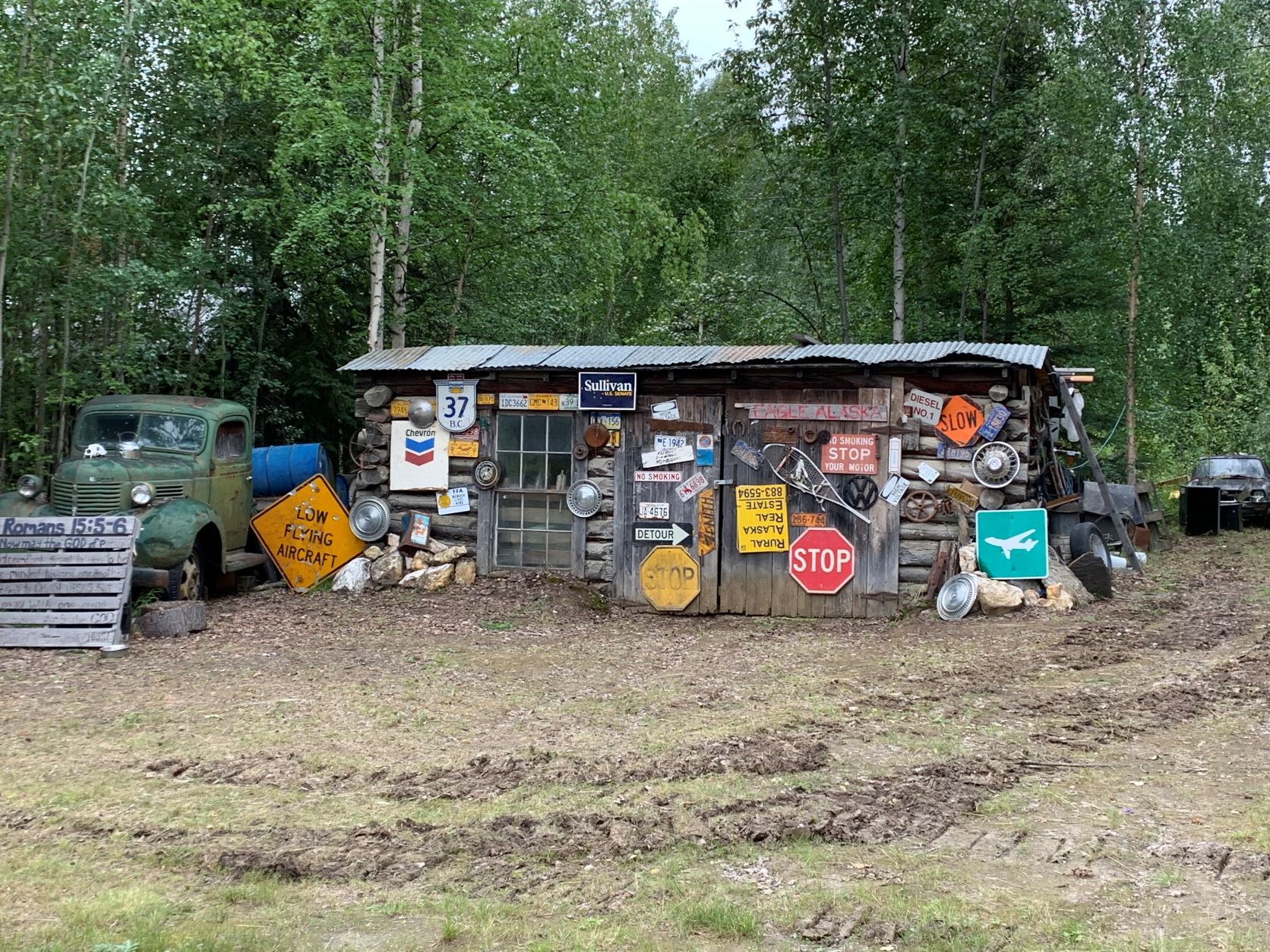
Arrived in Eagle, we are a little surprised about the 'Amundsen Street' as the main street, which also leads to the 'Amundsen Memorial Park' - the connection between the Norwegian polar explorer and little Eagle is not clear to us. The inscription in the park and the Internet enlightens us - Amundsen was really, even for more than 2 months, in Eagle. In the course of the first successful navigation of the North-West Passage from 1903 to 1906, after his small ship 'Gjoa' had sailed the Arctic Islands to Herschel Island (in the Arctic Ocean near the Canada / USA) Amundsen first came to Fort Yukon and later to Eagle on foot and by dogsled – a distance of more than 800 km through complete wilderness. He was keen to tell the world and his sponsor Fritjof Nansen of the first descent - and Eagle was an important base at the time and had the northernmost telegram connection. In spring of 1906, he traveled back to the Arctic Ocean and brought the ship and crew safely to Nome in western Alaska. Today, Eagle has only about 100 permanent residents.
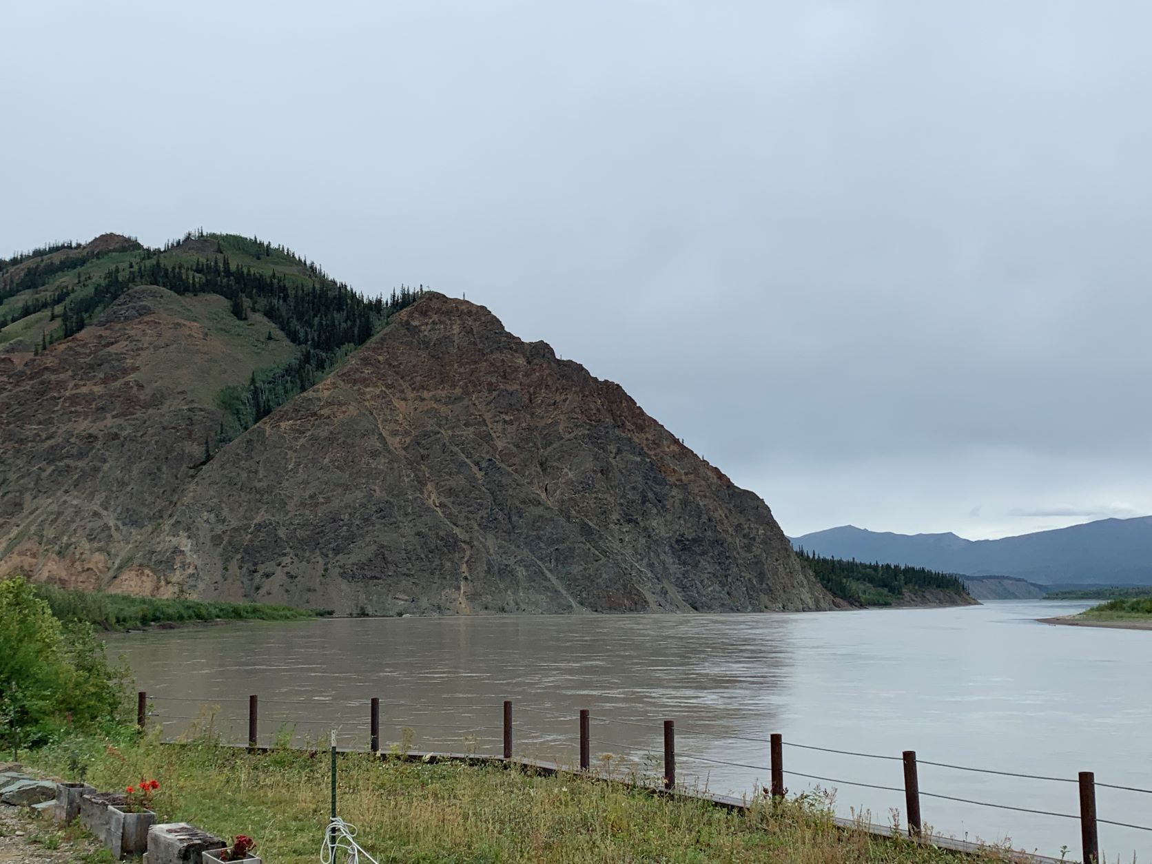
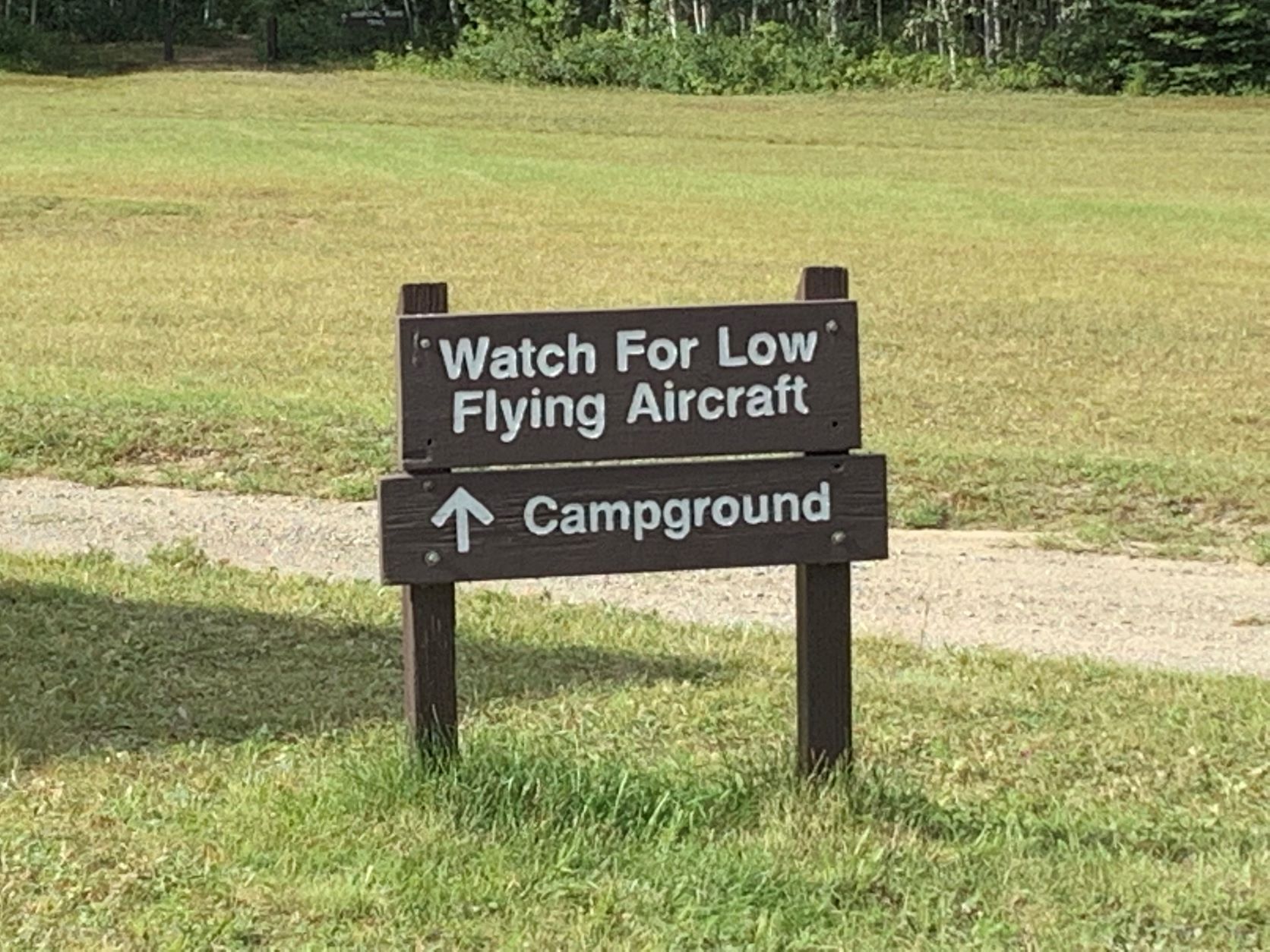
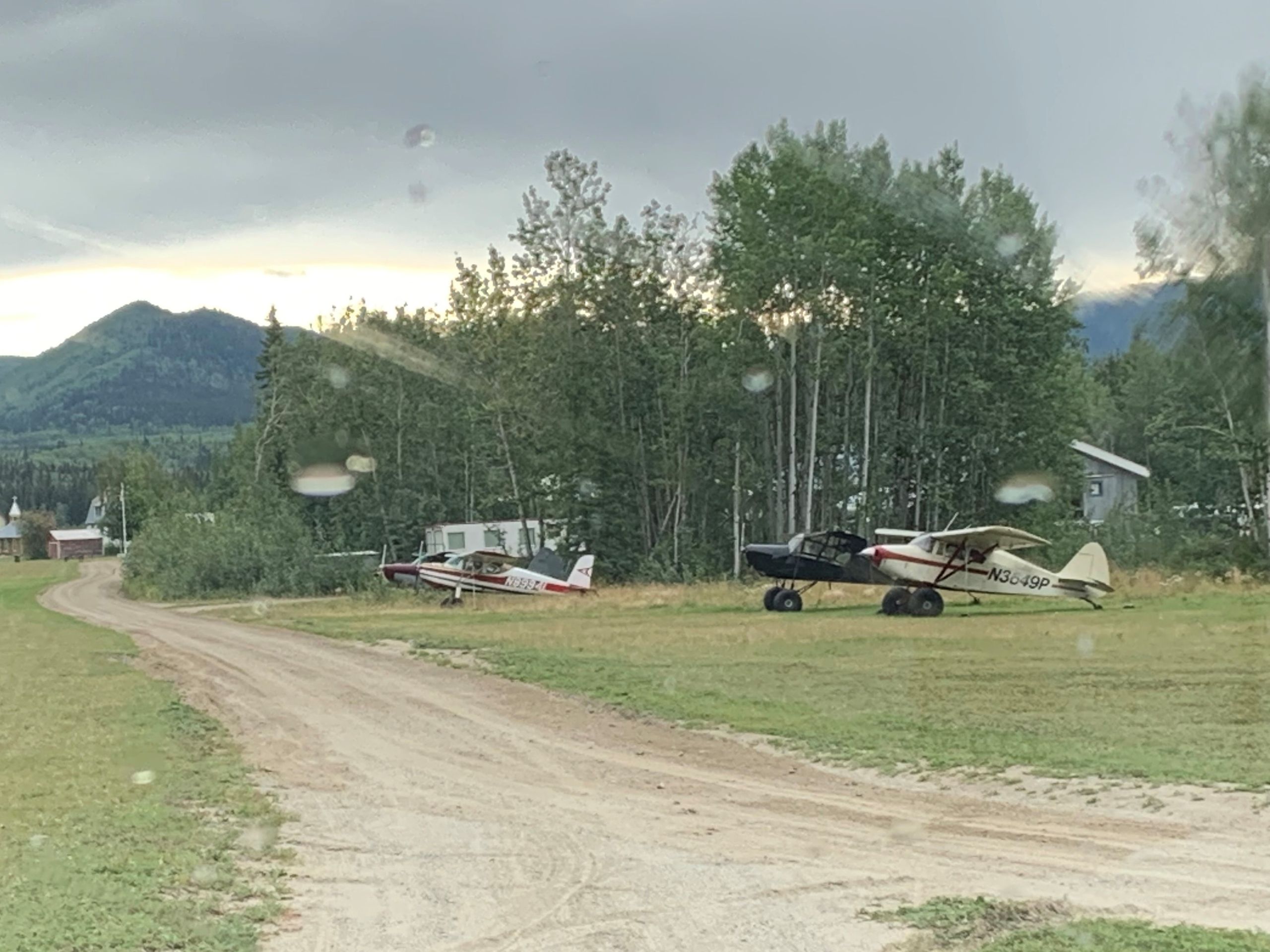
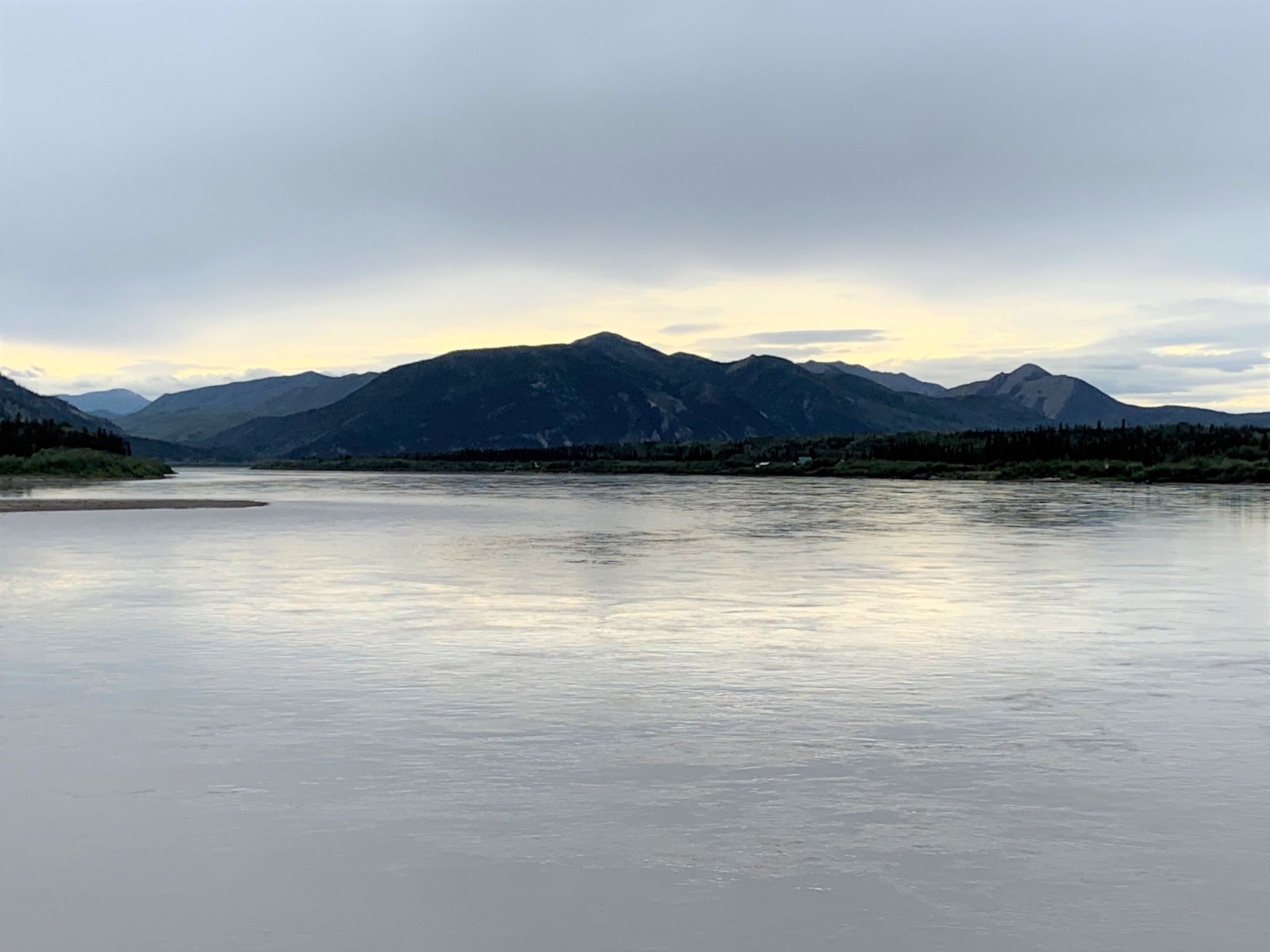
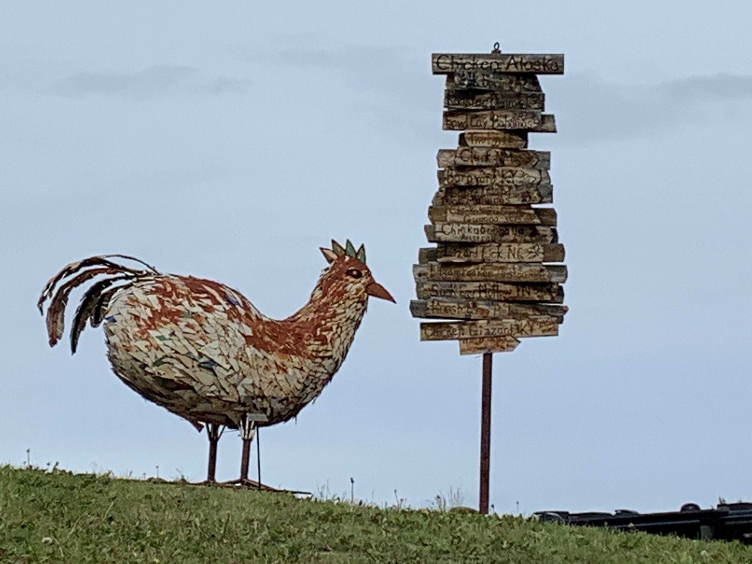
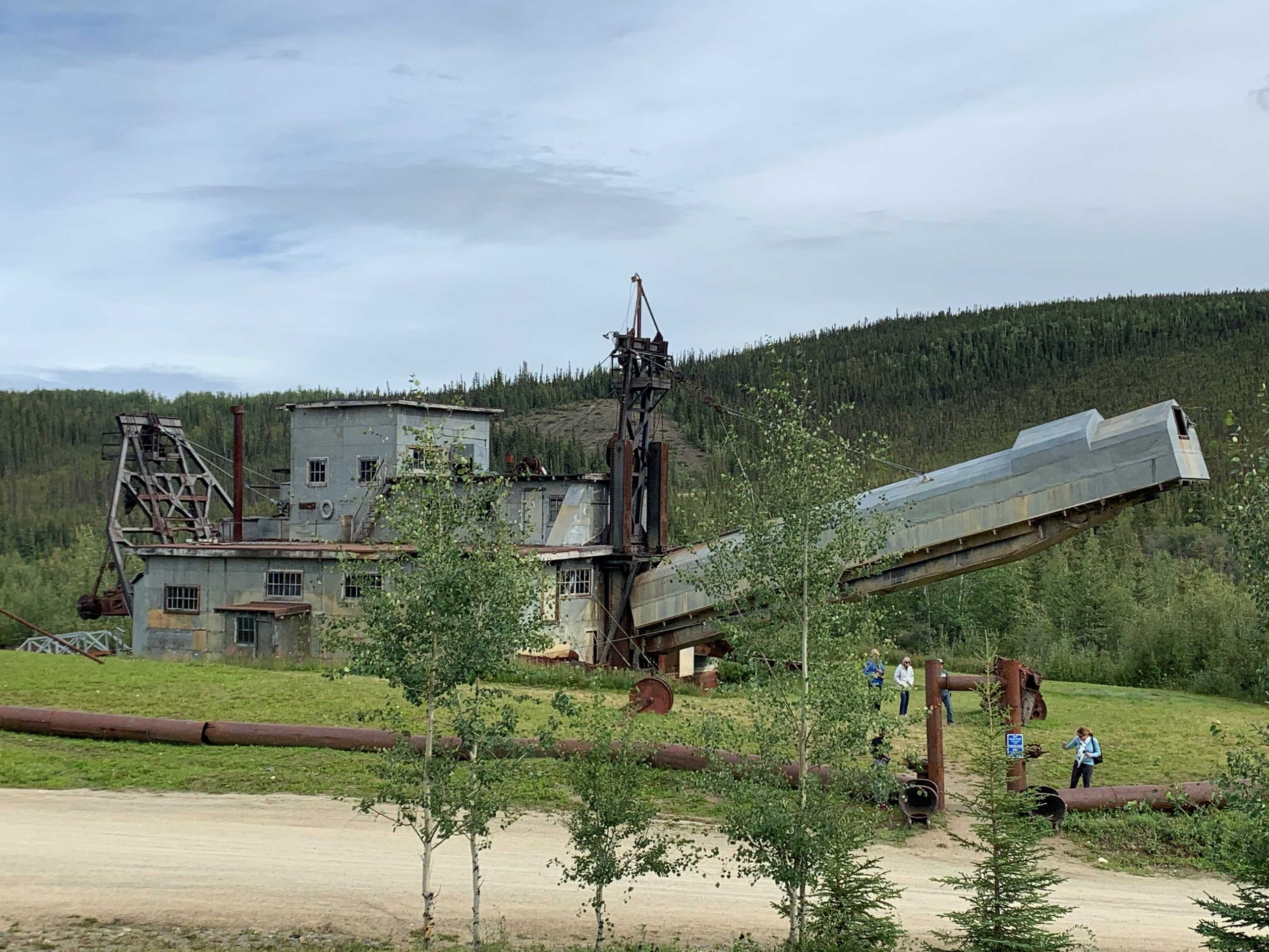
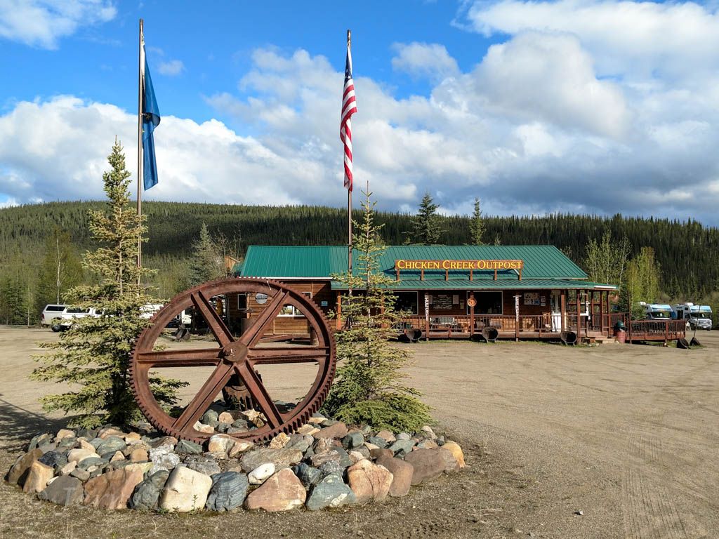
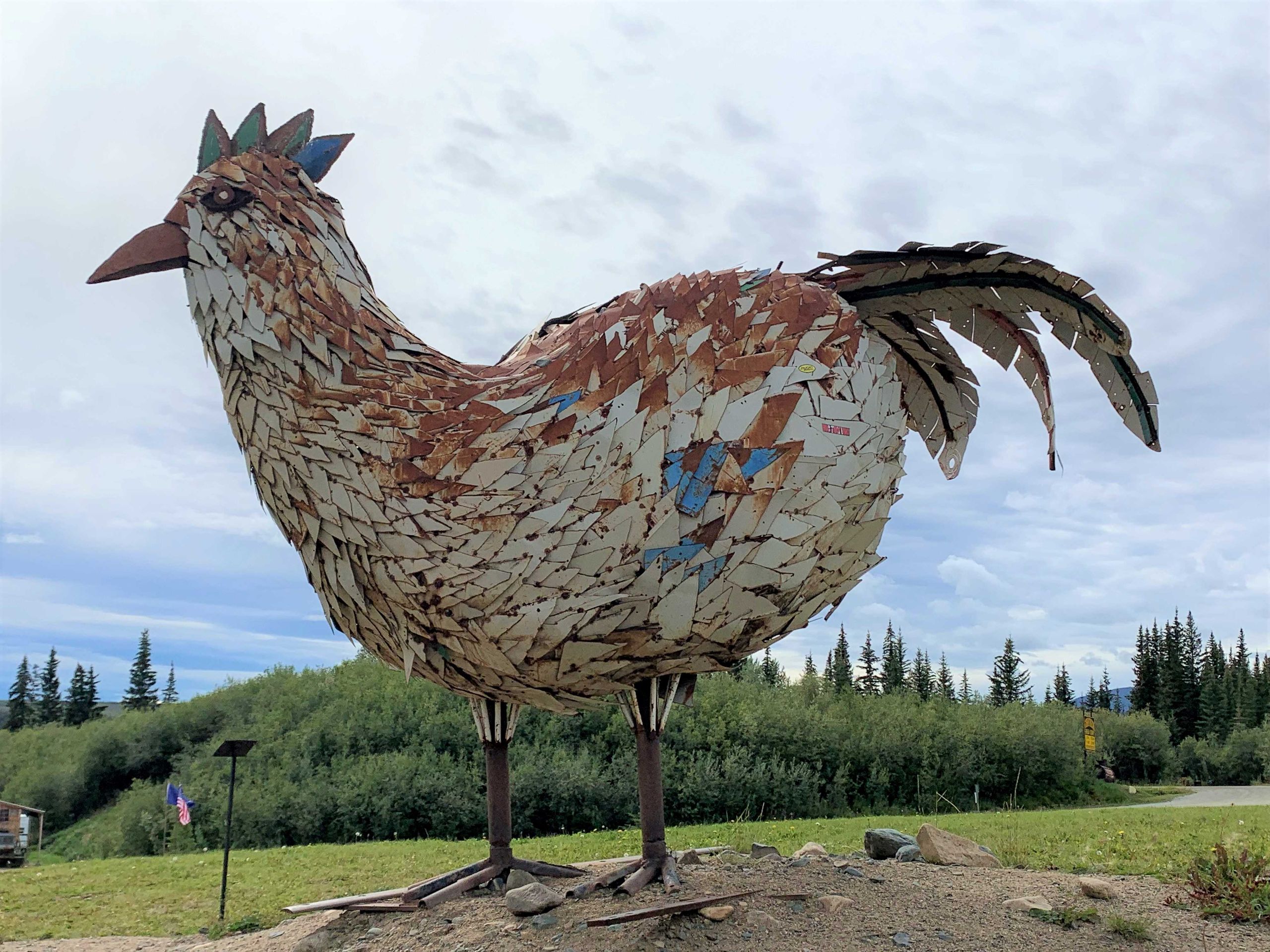
After a last look at the Yukon, we go back south on the Taylor HWY - two moose cross our path very surprisingly - we make a short stop in Chicken - a former gold mining town - a small dredge, the 'Pedro' can be visited there. How did the place get its somewhat strange name? The former gold diggers wanted to call it 'Ptarmigan' after the ptarmigans that were very common there at the time, but were unsure of the spelling and therefore took the simpler 'Chicken' as the name. Today, there are 'three chickens' - all shops and simple restaurants for tourists and hobby prospectors.
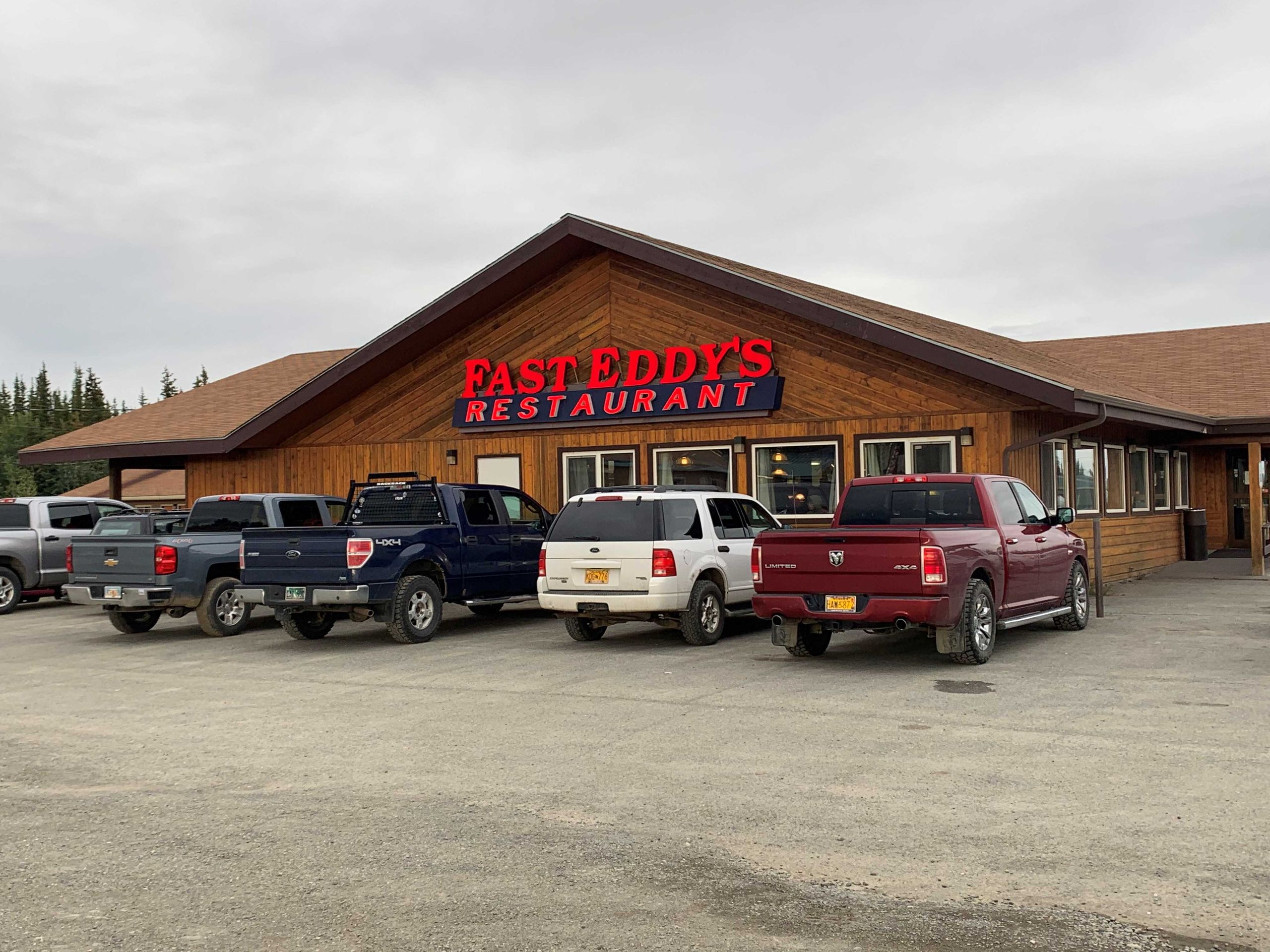
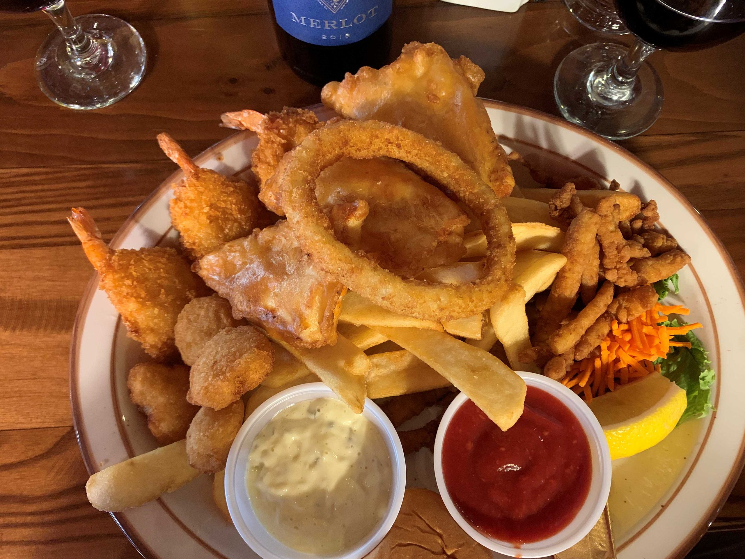
The Taylor Highway leads us, now paved again, to the Alaska Highway and soon after, we reach the village of Tok, apart from shops, gas stations, and the (locally) famous restaurant 'Fast Eddy's', there is really nothing to report about here.
نيوز ليٽر جي رڪنيت حاصل ڪريو
جواب