

October 27, 2023 – Four days on the Milford Track
Publicados: 05.11.2023


Assine o boletim informativo
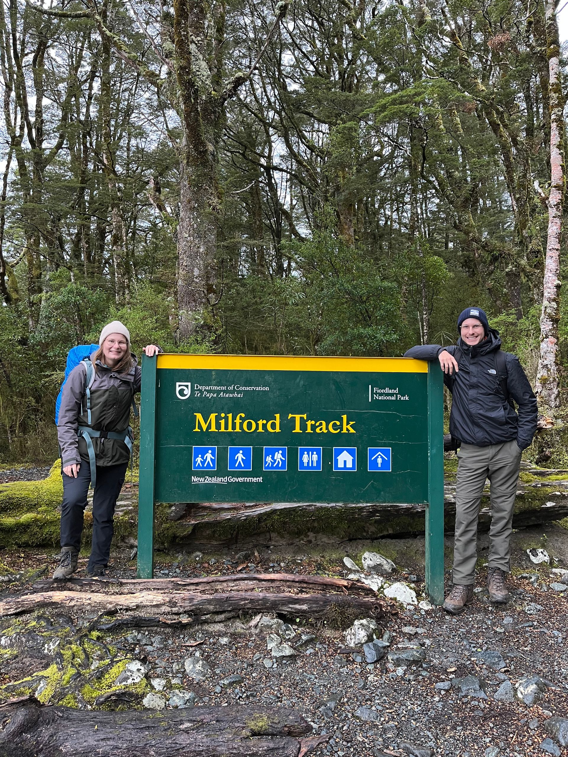
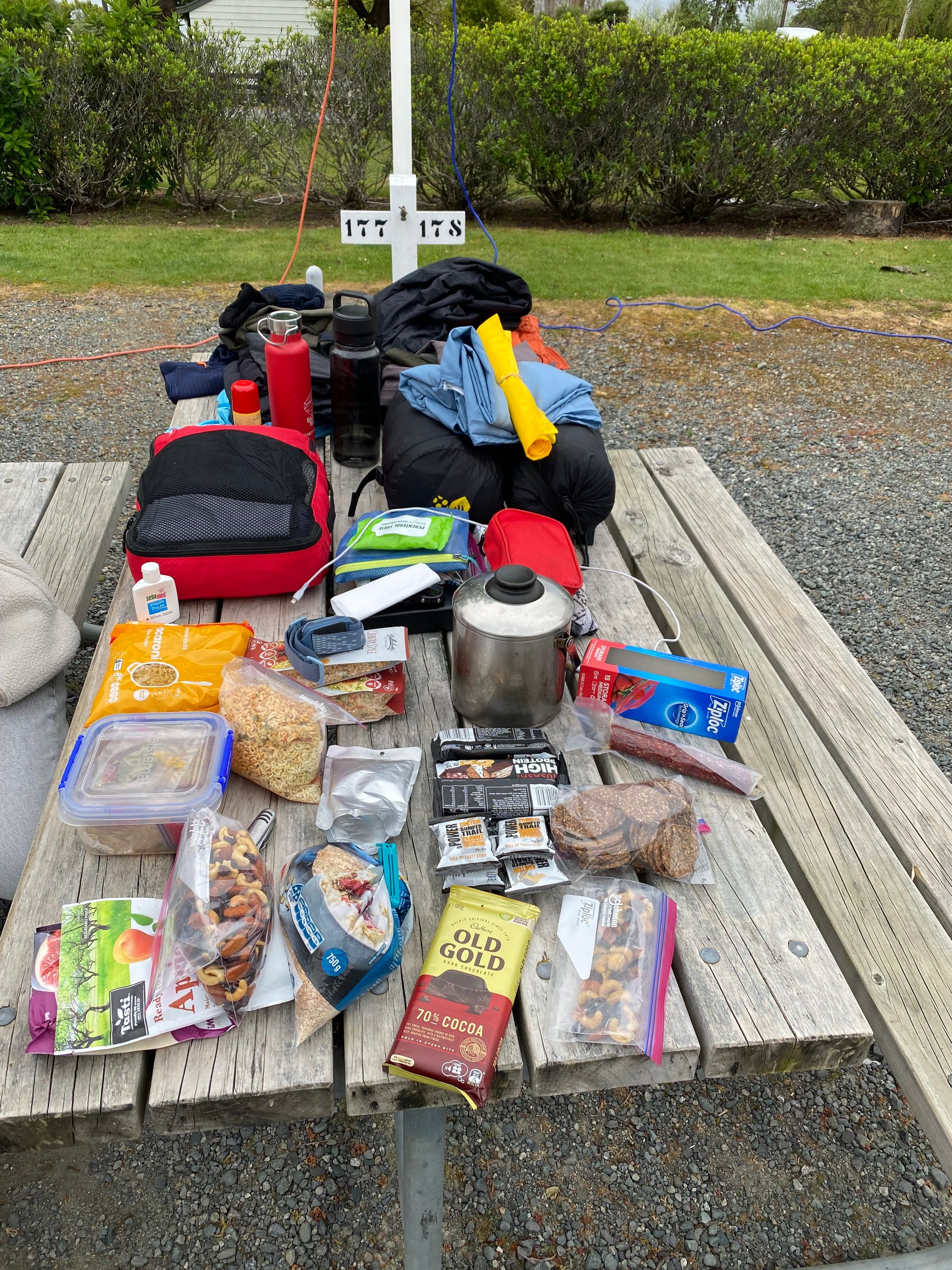
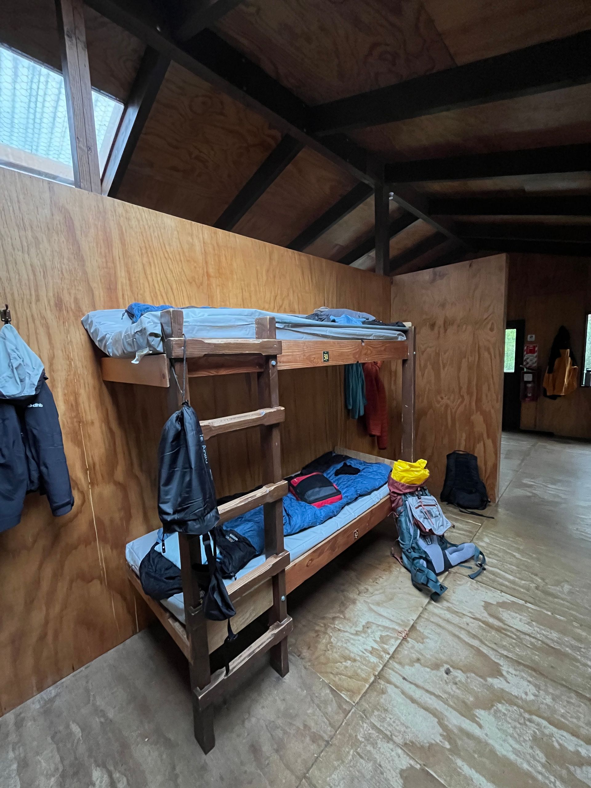
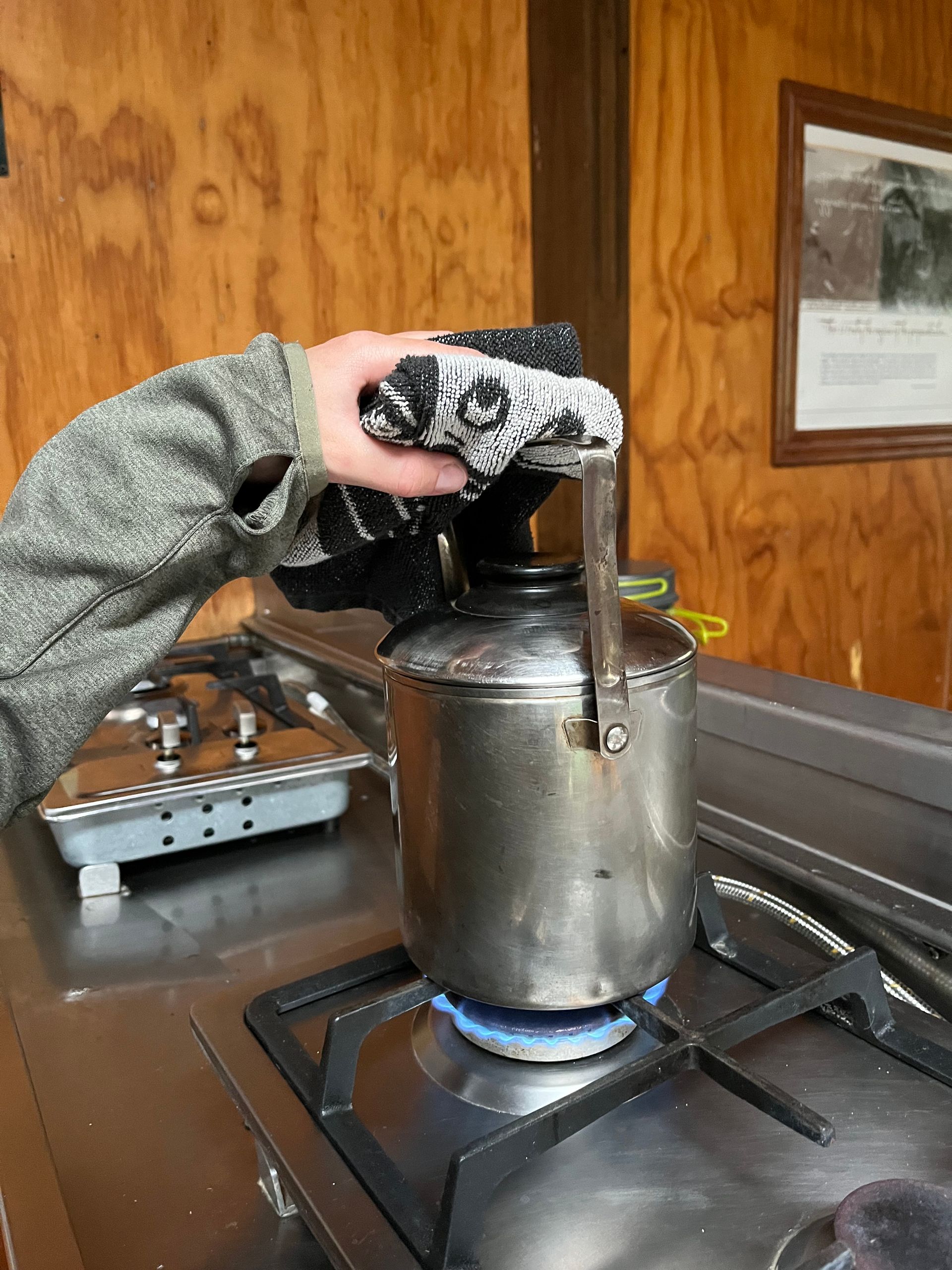
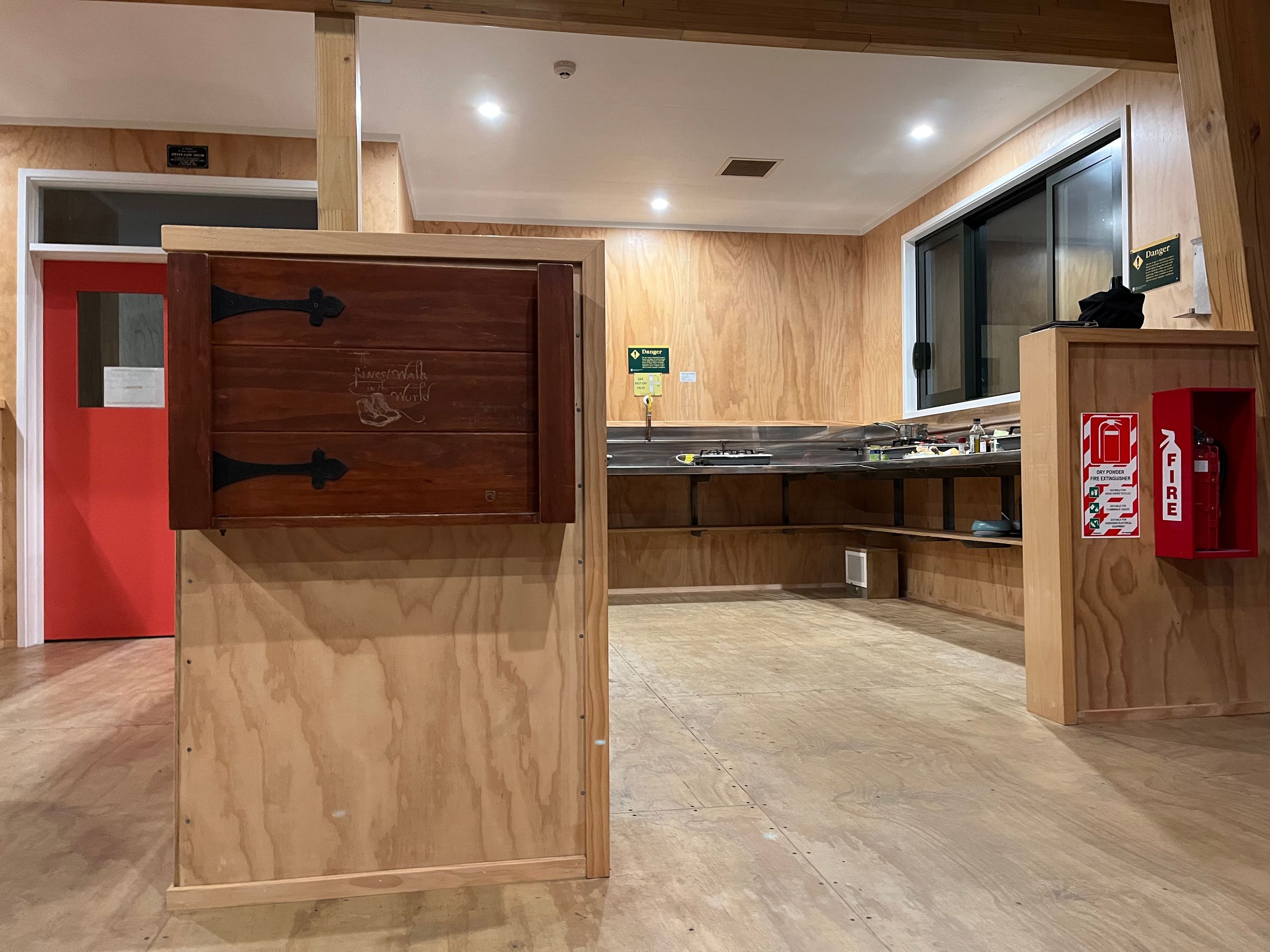
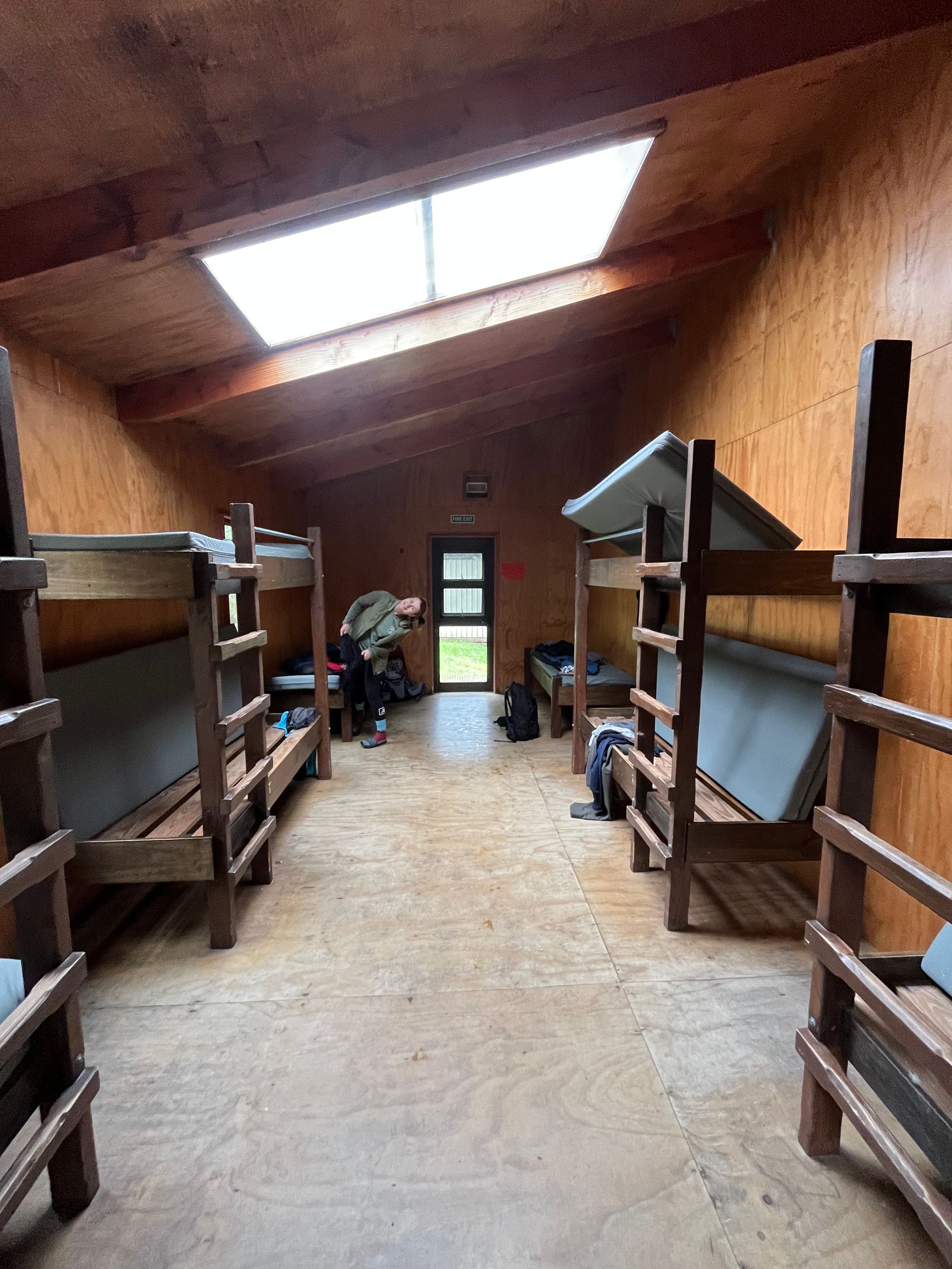
“The most beautiful hike in the world,” is how the poet Blanche Baughan described the Milford Track in an article published in the London magazine “The Spectator” around 100 years ago. Whether the hike is actually the most beautiful in the world or not remains to be seen. The fact is that the Milford Track is the most famous and well-known hiking trail in New Zealand and it would be a shame if you missed it. But let's start from the beginning. We first heard about the hike in Australia when we were working with John and Linda on the farm. When we talked about our plans for New Zealand one evening, the two of them asked us whether we would also walk the hiking trail in question. Of course, at this point we had no idea what the Milford Track was. We closed this small educational gap that same evening. Since you probably feel the same way, here's a quick summary. The Milford Track - a breathtaking combination of adventurous hiking trails along lakes several hundred meters deep with crystal clear water, snow-capped mountain peaks, green lush valleys, rainforests and Sutherland Falls, the highest waterfall in New Zealand. The 53 kilometer walk begins at the head of Lake Te Anau and takes in suspension bridges, footbridges and a mountain pass. Of course, at first it sounded like the perfect adventure and made for us. However, disillusionment followed quickly. There are three official huts to sleep in on the Milford Track and these need to be booked in advance. And although the season, which begins at the end of October, had not even started yet, everything was already fully booked for the coming months. So we quickly discarded the idea and made other plans. And as is sometimes the case, things suddenly happen very quickly. More out of interest than concrete hope, Helene looked at the booking portal again about a week before the start of the season and lo and behold, places were bookable again. Without thinking about the consequences, we just booked the Milford Track. The start was on October 24th, which meant we were the first to hike the track this season. At the time of booking we were still at the two glaciers in the middle area of the west coast and we actually wanted to stay in the region for a few more days. Once again we threw our plans aside and headed to the southernmost area of the west coast, the Fiordland. A day before the start we reached Te Anau, where the Milford Track starts. But before it really started, there were still a few things to do. On the one hand, we had to book a transfer because the start and end points of the hike are remote and can only be reached by boat. Then we had to take care of sleeping bags and a cooking pot, as the huts only have sporadic equipment. And last but not least, we had to go shopping; after all, we needed food for four days. After we finally had everything together, we still had to pack. I have already mentioned that the huts have sporadic furnishings and when I write sporadically, I mean sporadically. There are dormitories with bunk beds that, depending on the hut, are shared sometimes with 19 other hikers and sometimes with nine other hikers. There are a few gas hobs, a common room with a wood stove and a few toilets. And that was it. No pillows or blankets, no trash cans, no dishes, no warm water and no shower. You actually have to bring everything yourself. In the end the backpacks were packed and we were ready for the Milford Track adventure.
day 1
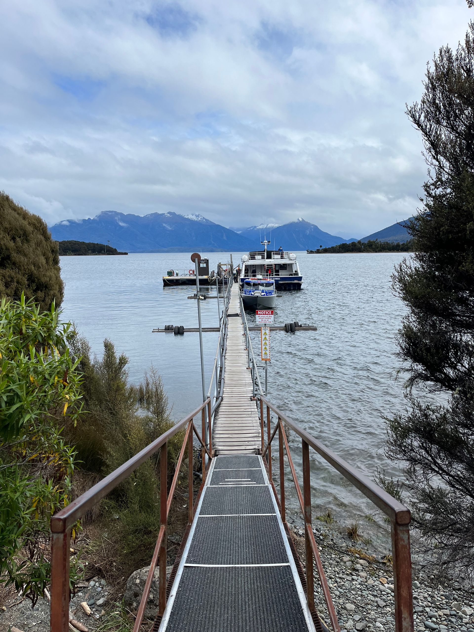
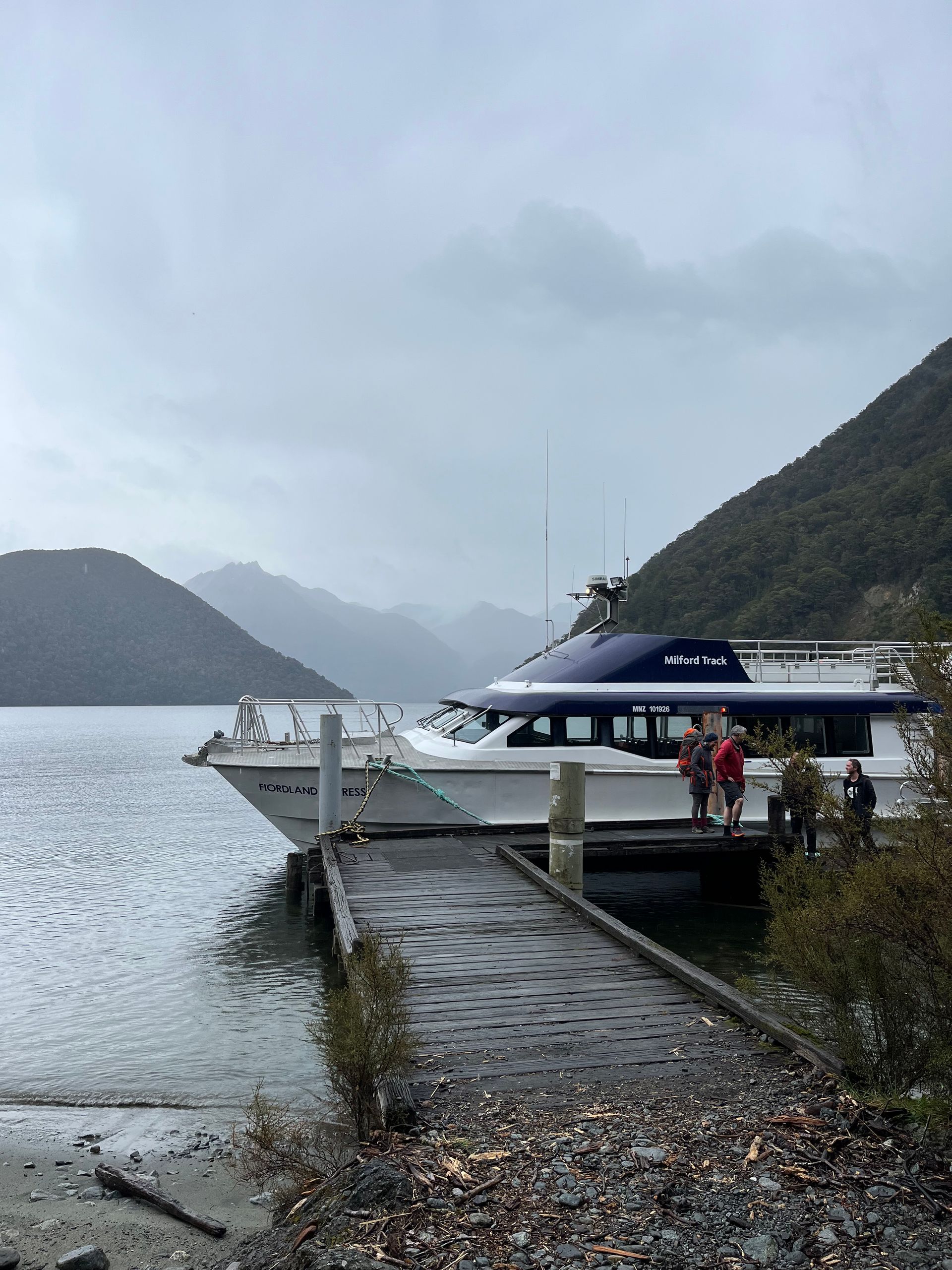
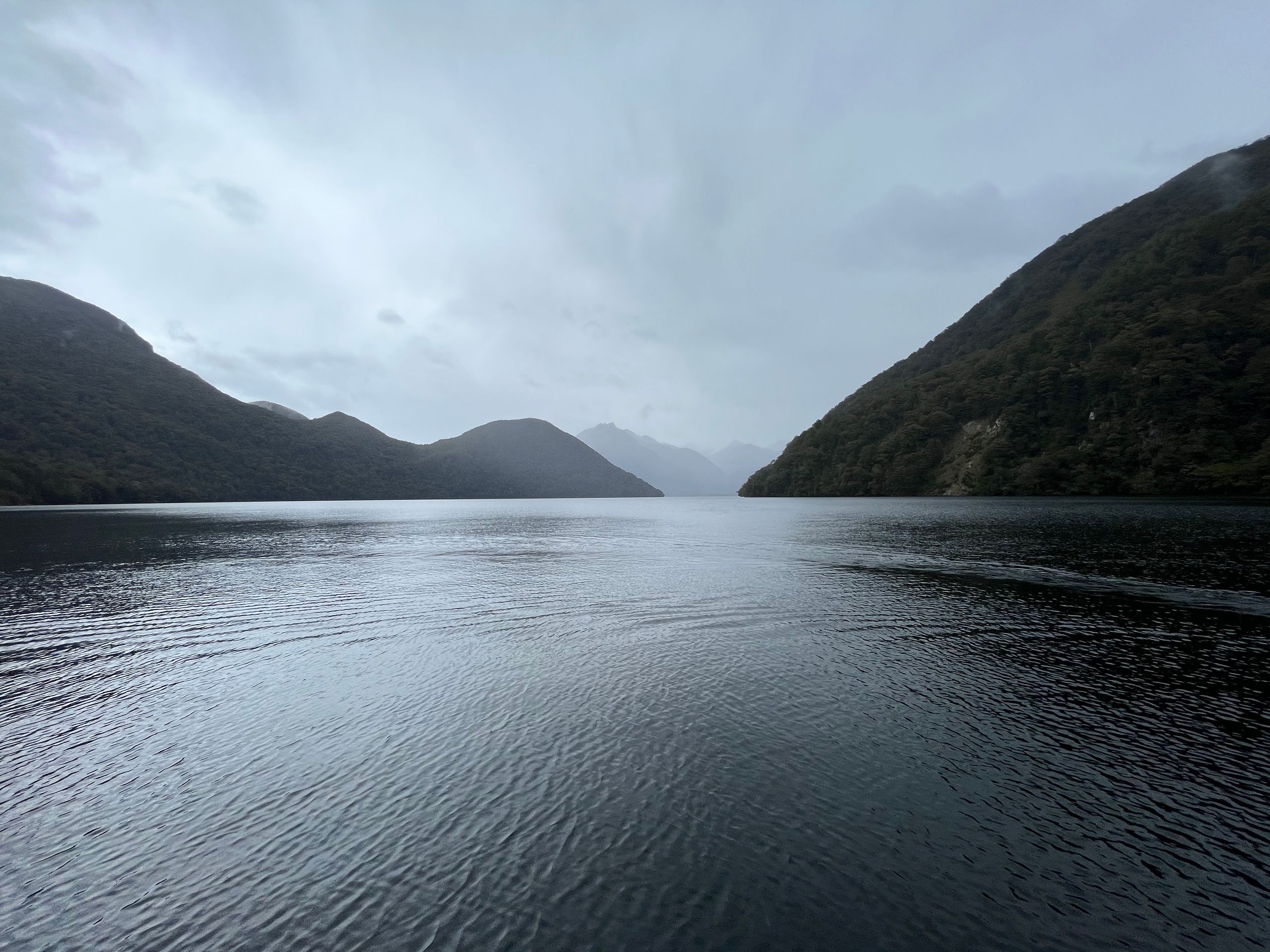
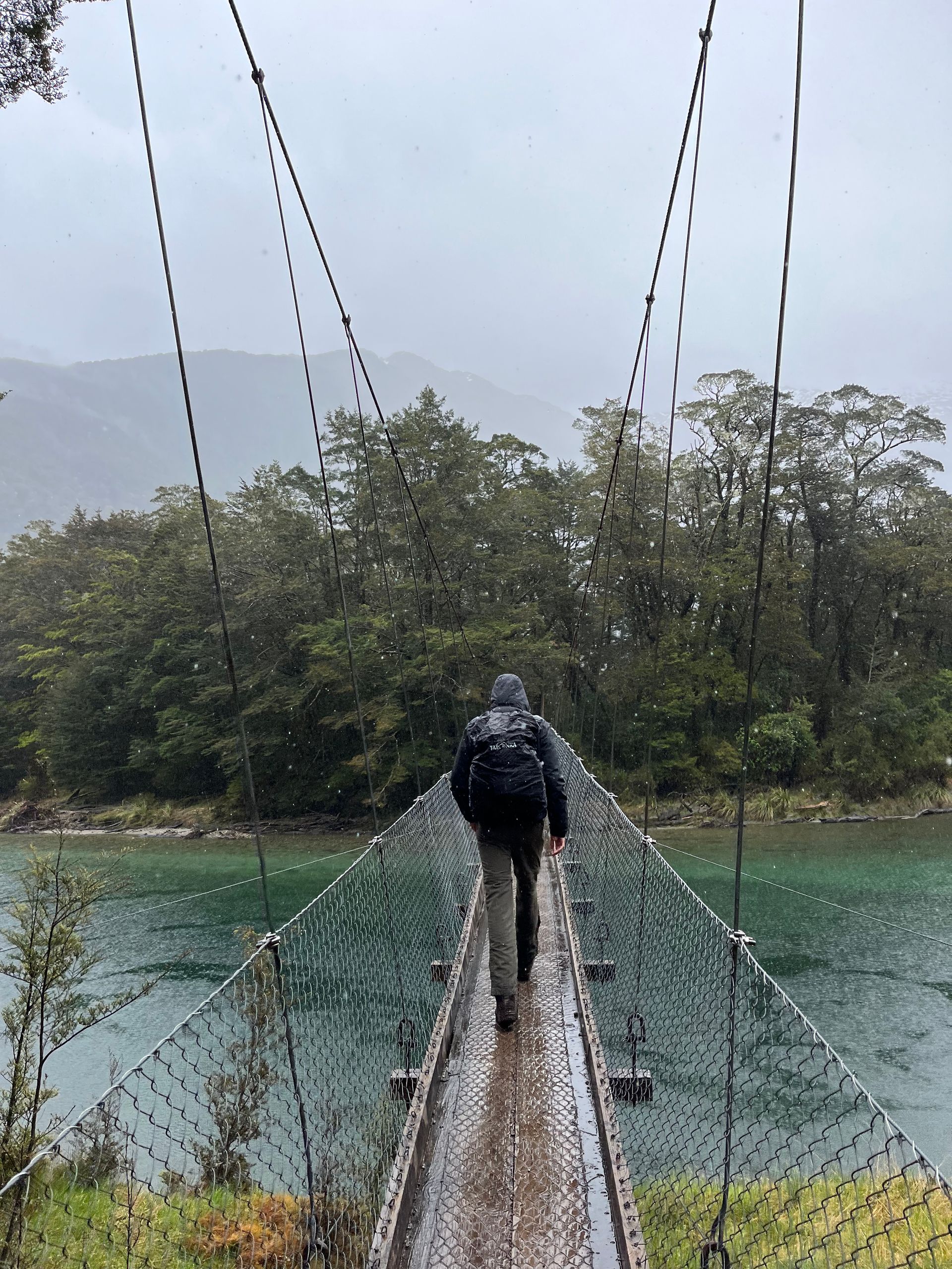
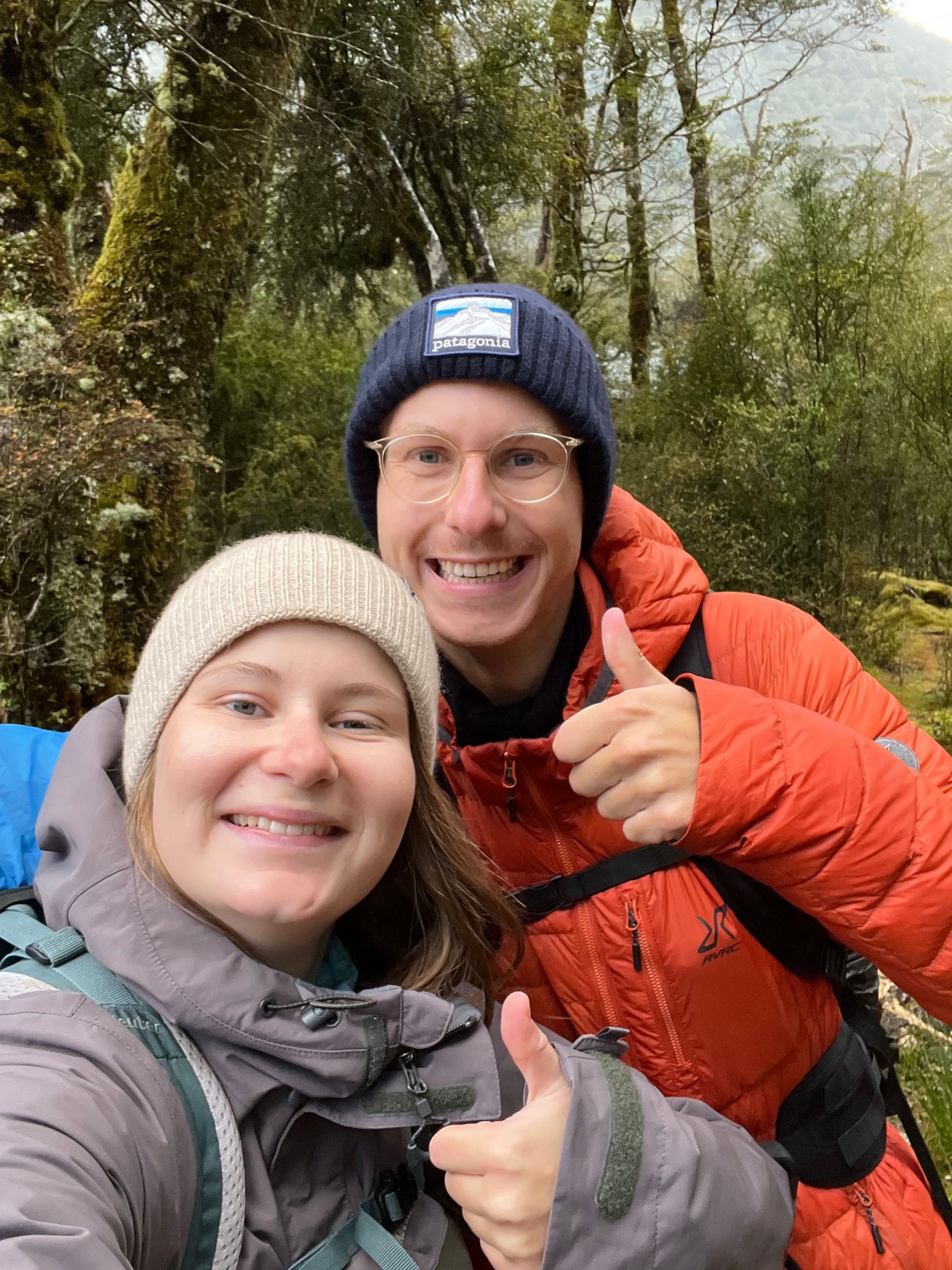
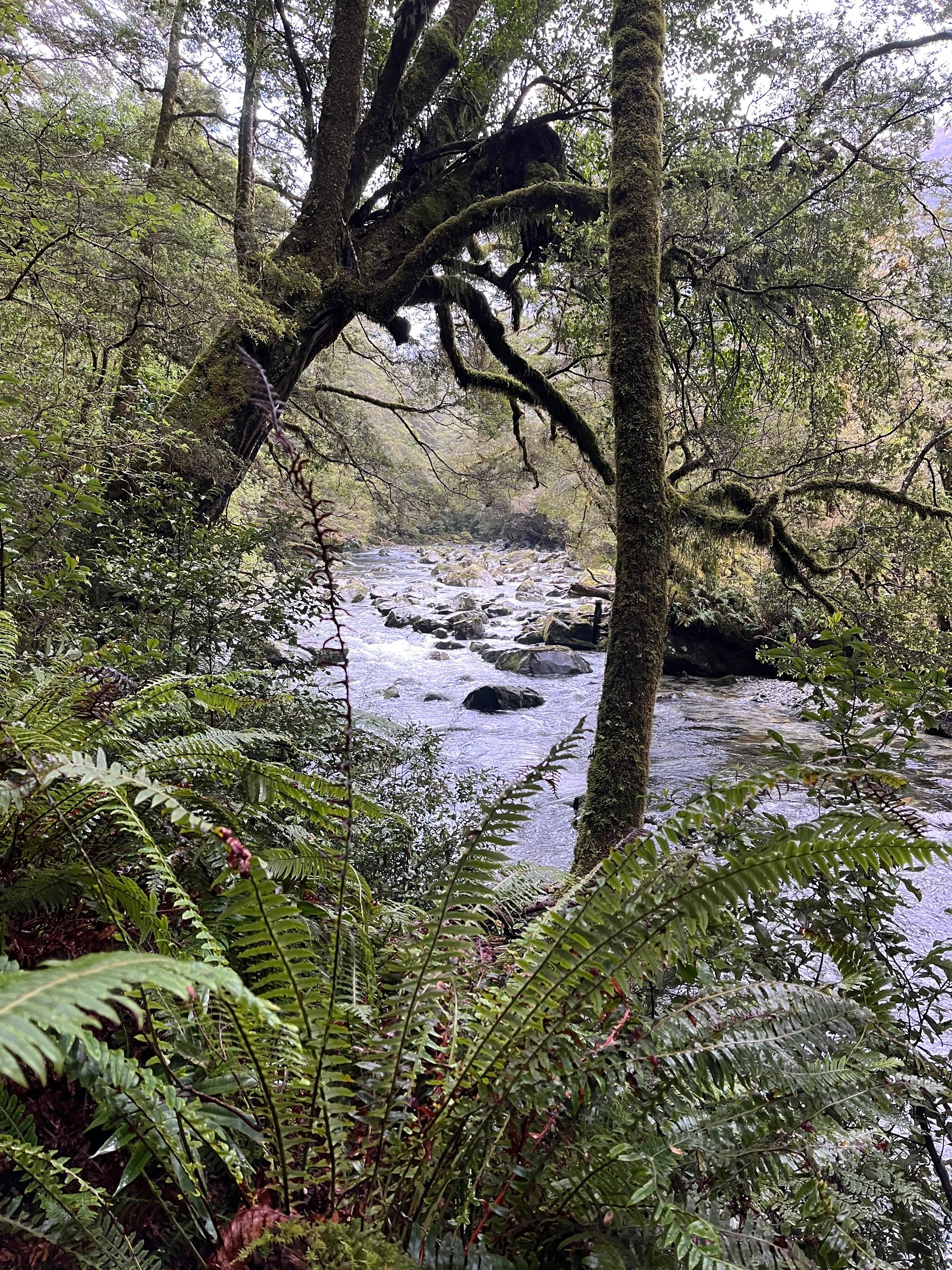
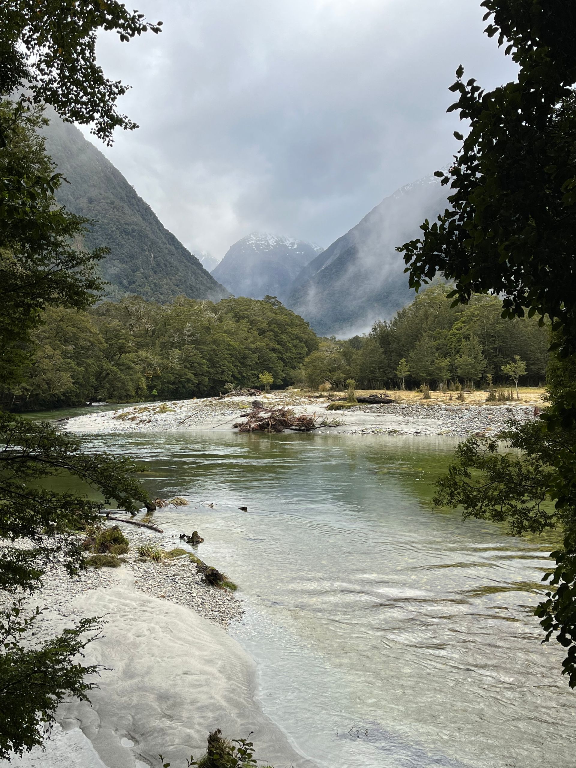
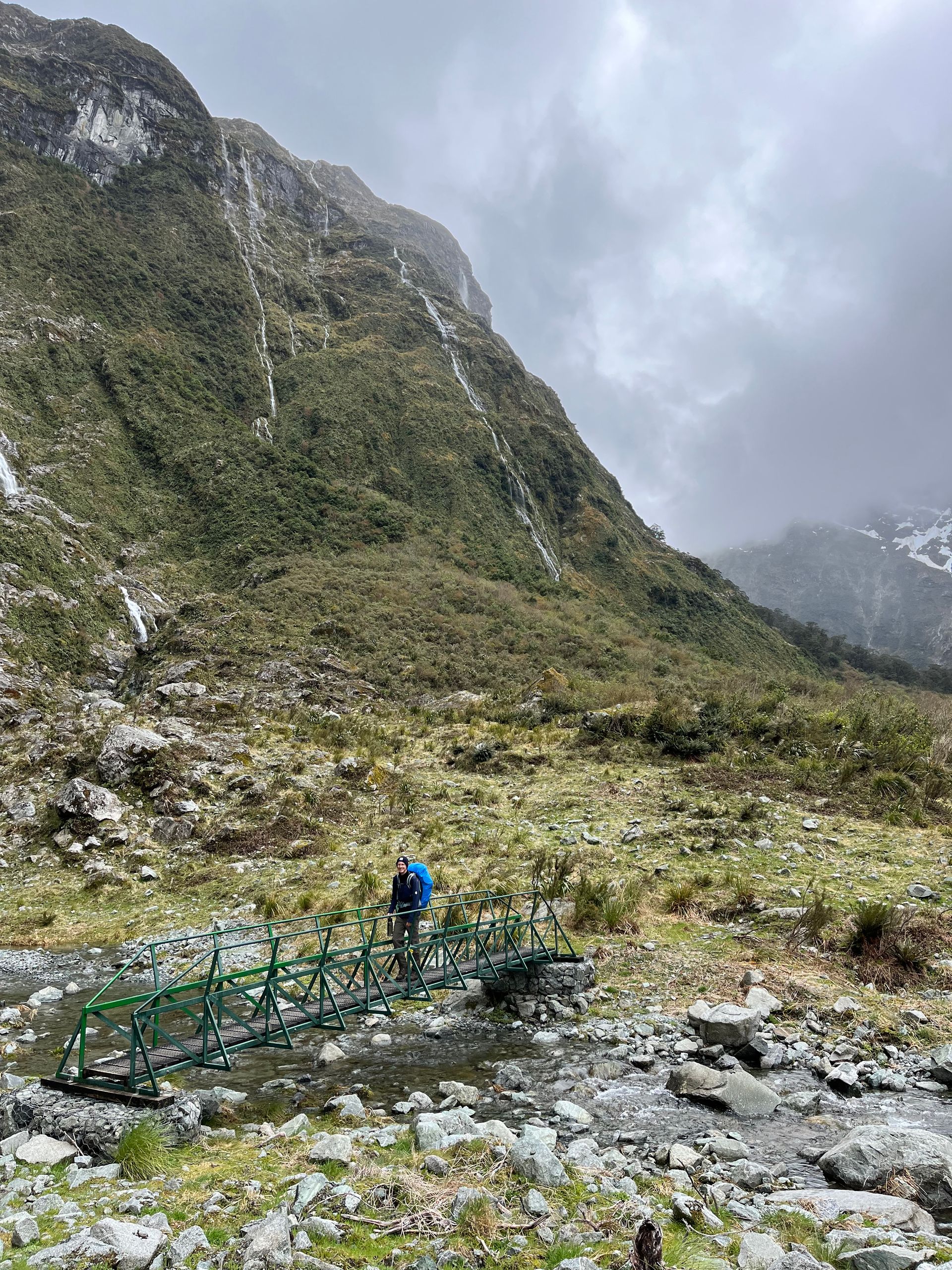
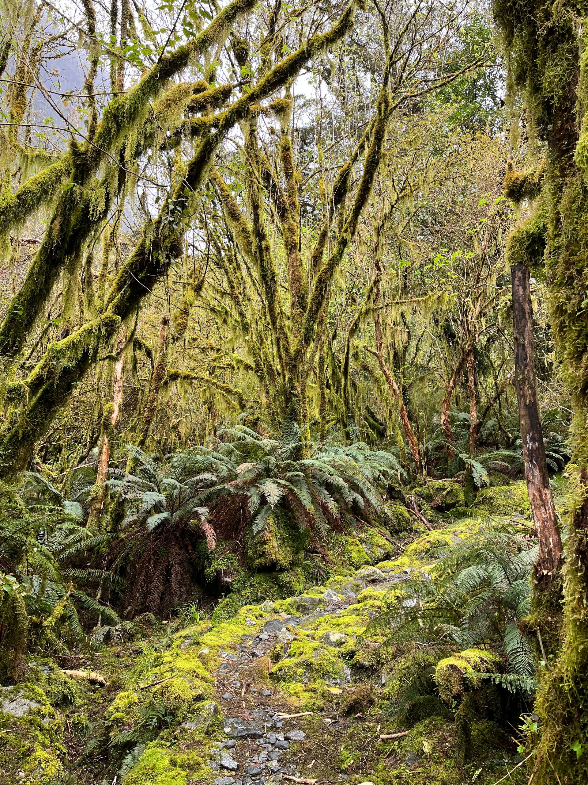
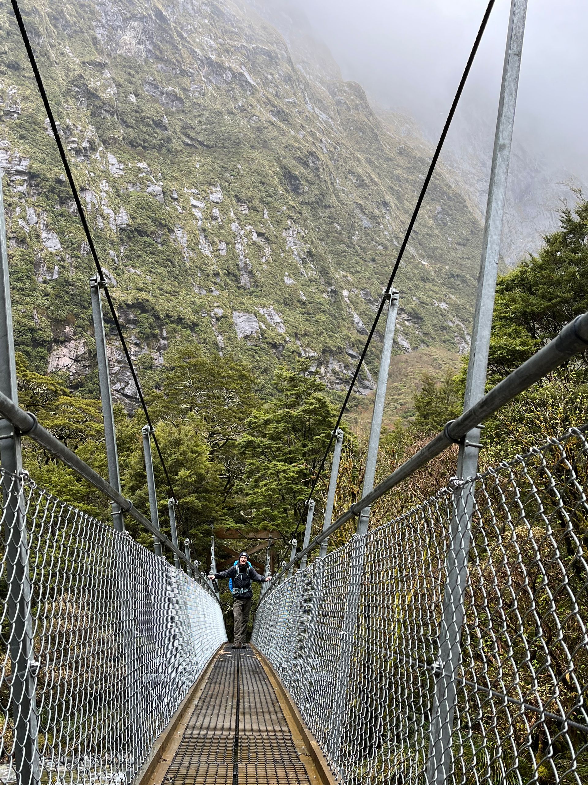
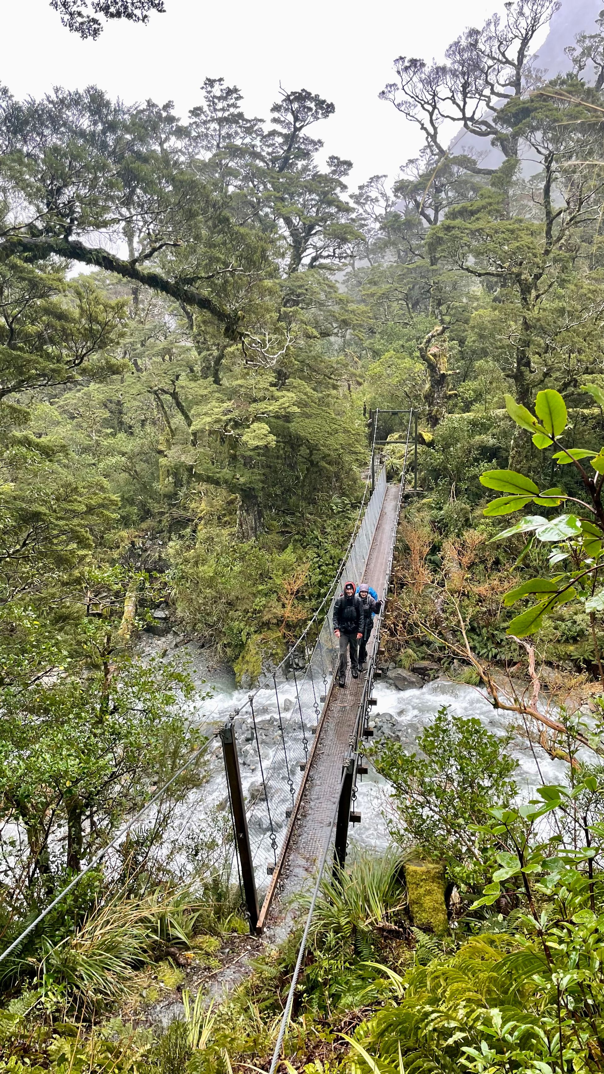
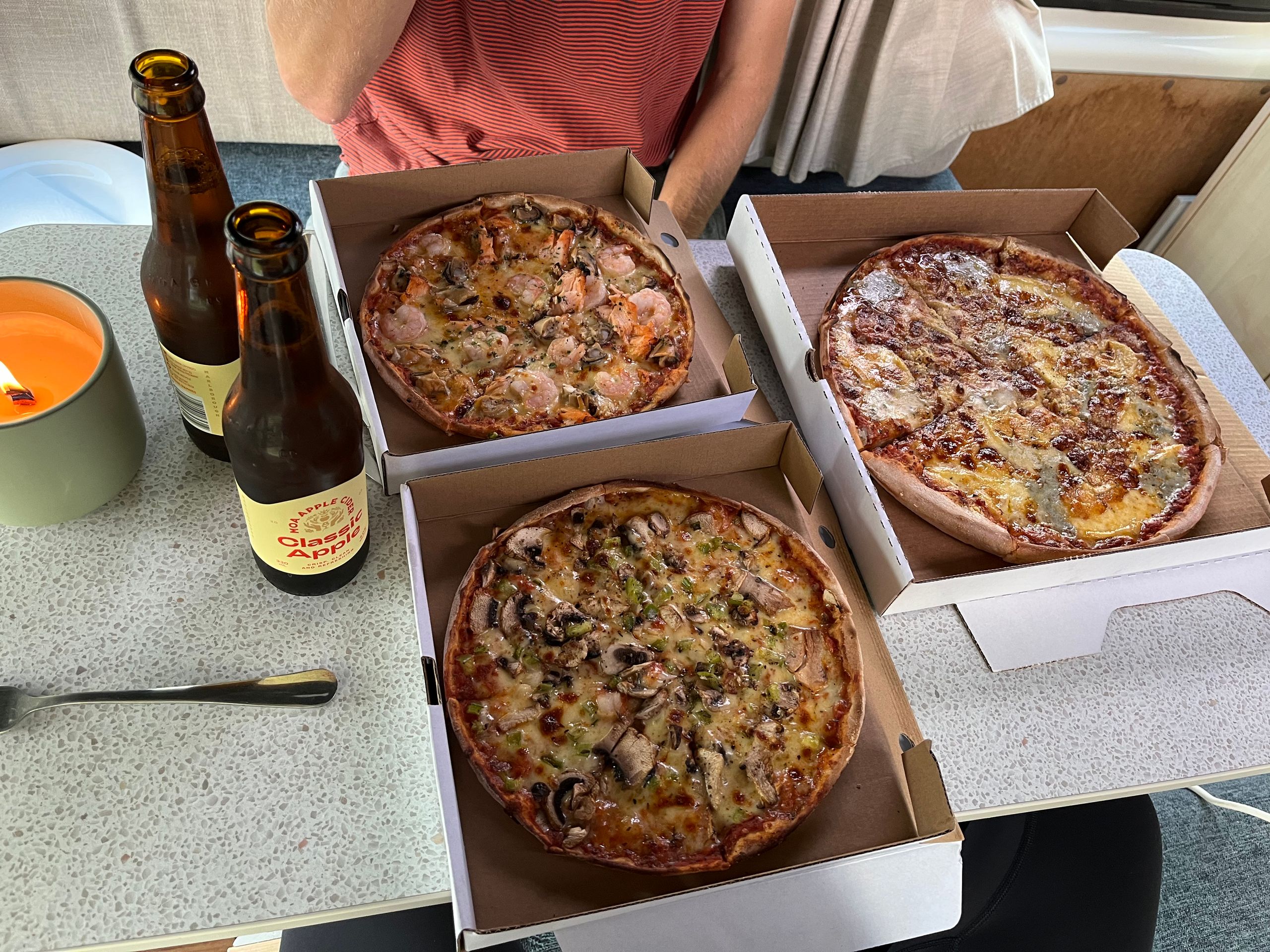
For us, the day began with a short trip to the visitor center of the Department of Conservation, which manages all of New Zealand's national parks. Here we got the latest information and the weather report for the coming days. The weather forecast didn't necessarily make us less excited. In addition to a lot of rain, there were also temperatures around 0 degrees and some snow. But true to the motto “There is no such thing as bad weather, there is only bad clothing” we didn’t let that deter us. At midday we were taken by bus and then by ferry to the starting point of the Milford Track. The boat trip gave us a foretaste of the beautiful fjord landscape that awaited us in the coming days. As predicted, the first rain began on the way with the ferry. Fortunately, the first stage is very easy. The route from Glade Wharf, the starting point, to Clinton Hut, the accommodation for the first night, is only five kilometers and leads through very easy terrain with an elevation gain of only around 80 meters. Nevertheless, the short route has a lot to offer. The stage took us over the longest suspension rope bridge on the Millford Track, through a lush beech forest and some beautiful spots on the Clinton River until we arrived at the hut. Here we first looked for a place to sleep, swapped the wet hiking clothes for our only set of dry clothes and got to know the 38 other hikers who would accompany us in the coming days. The first cooking session followed in the evening, with the focus being on minimalism. I remind you again, we had a saucepan, a tupperware bowl and two tablespoons with us. All side dishes were therefore ruled out. Which is why pasta with pesto was served on the first evening. After dinner there was the ranger talk. Here the ranger provided us with the most important information for tomorrow's stage and the weather report. And then we went to bed, after all the first big stage was scheduled for the next day and the alarm clock was supposed to go off at 6:30 a.m.
day 2
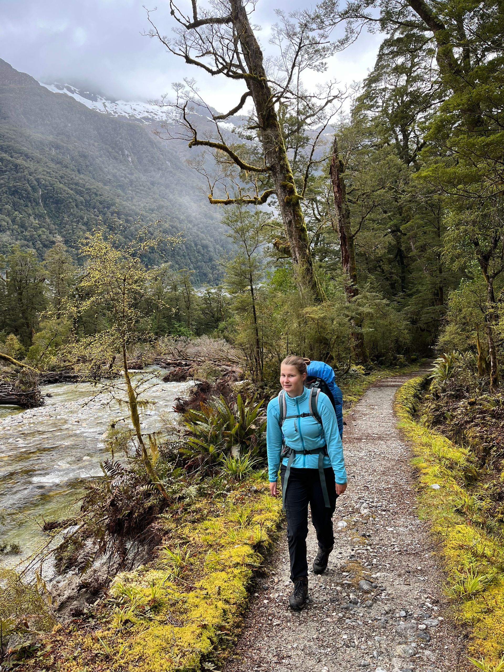
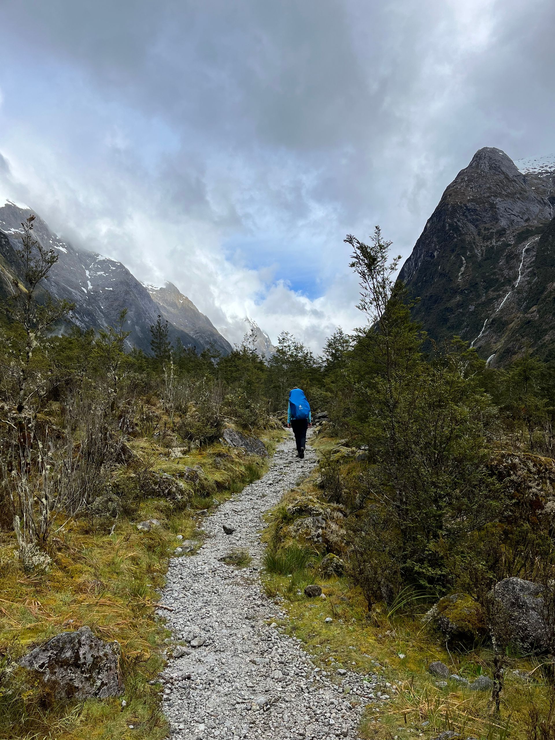
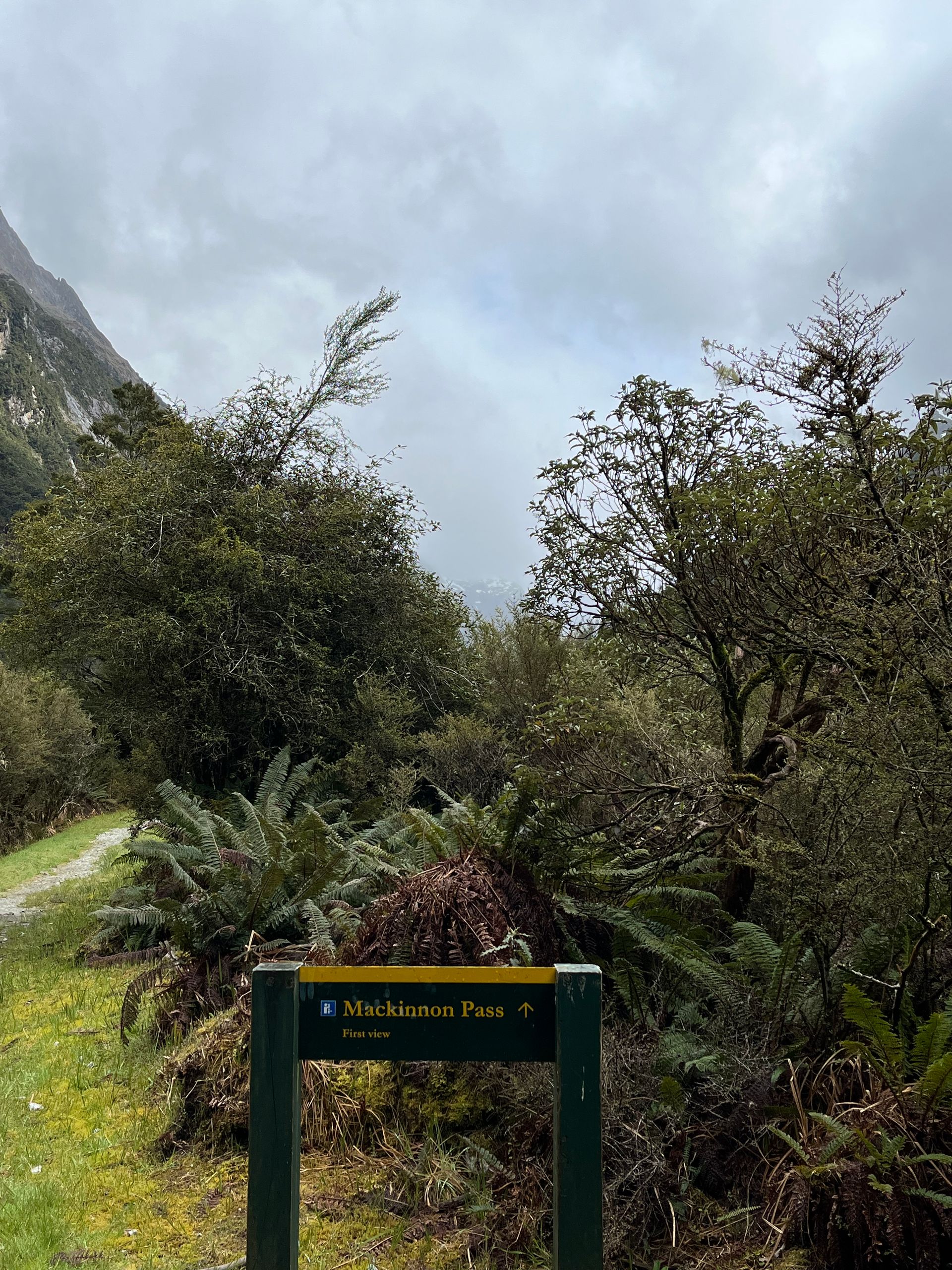
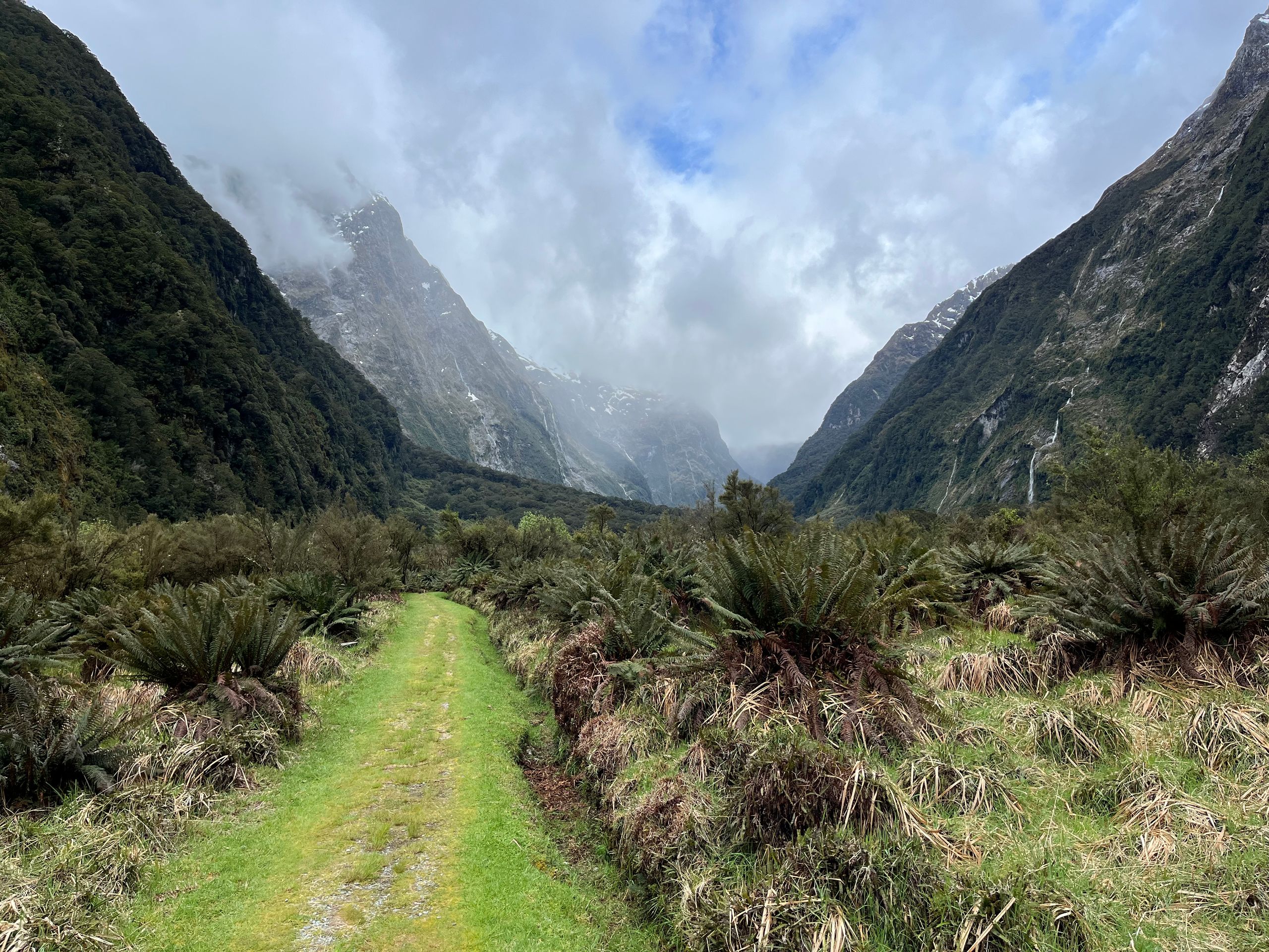
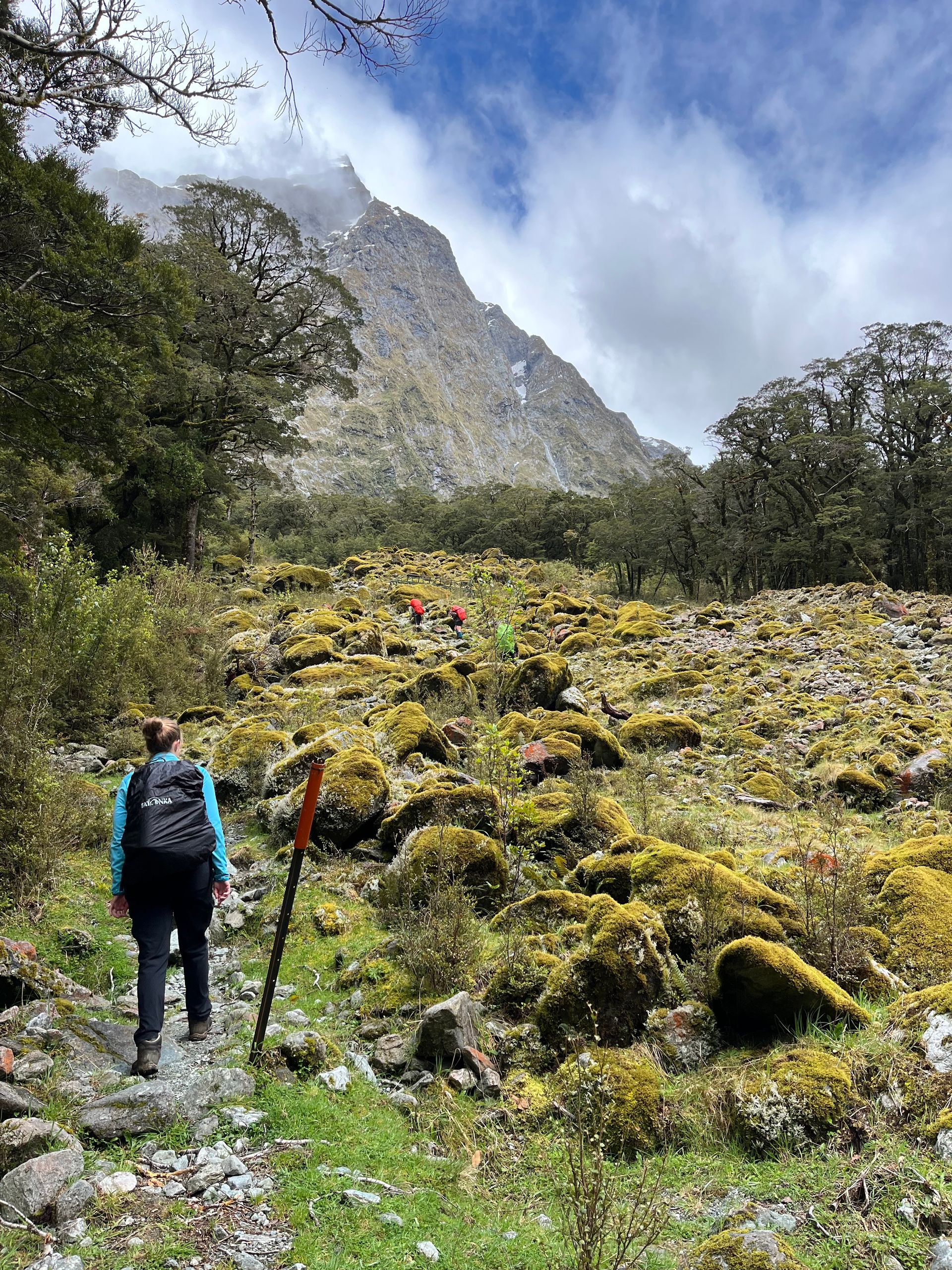
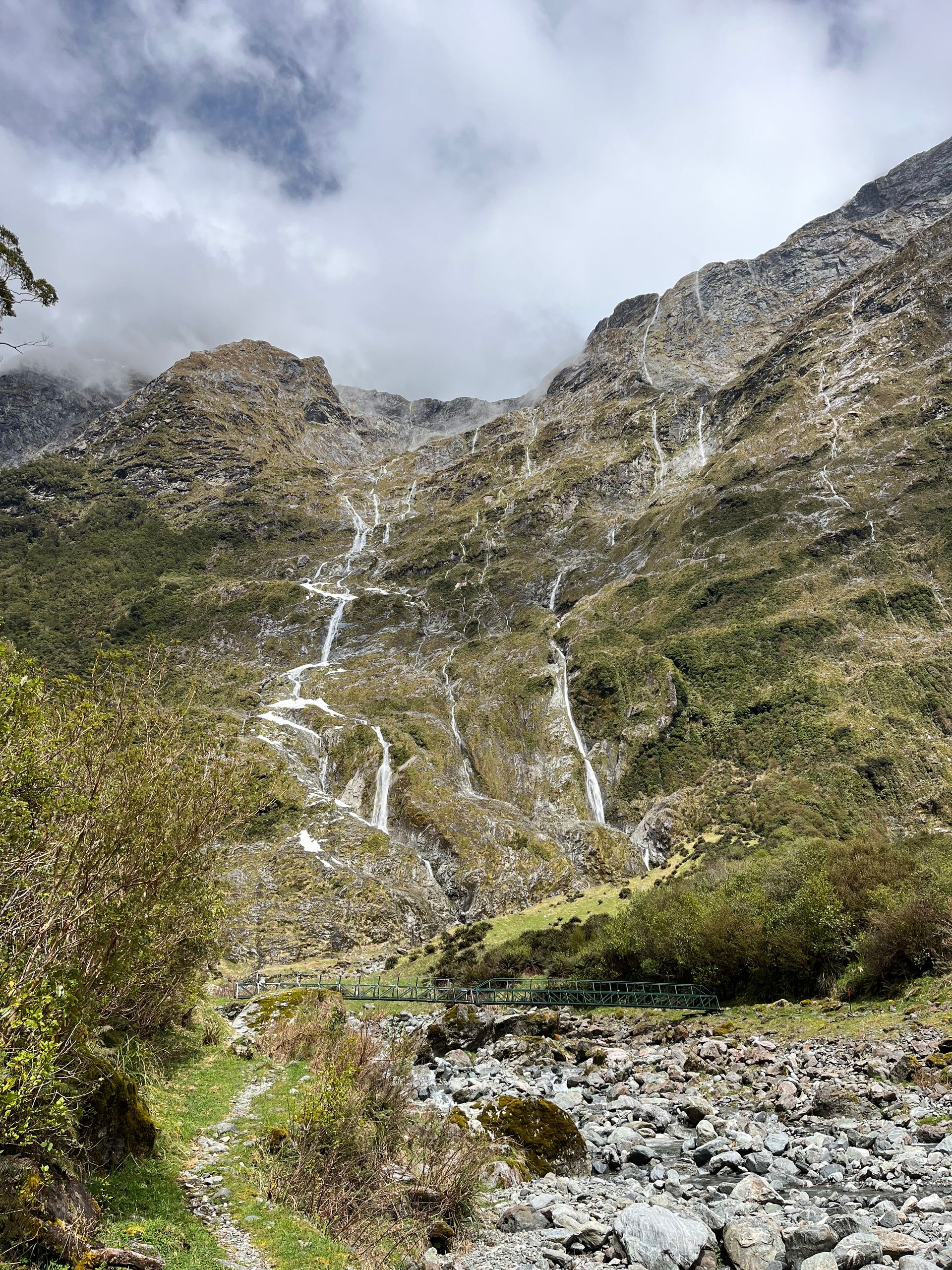
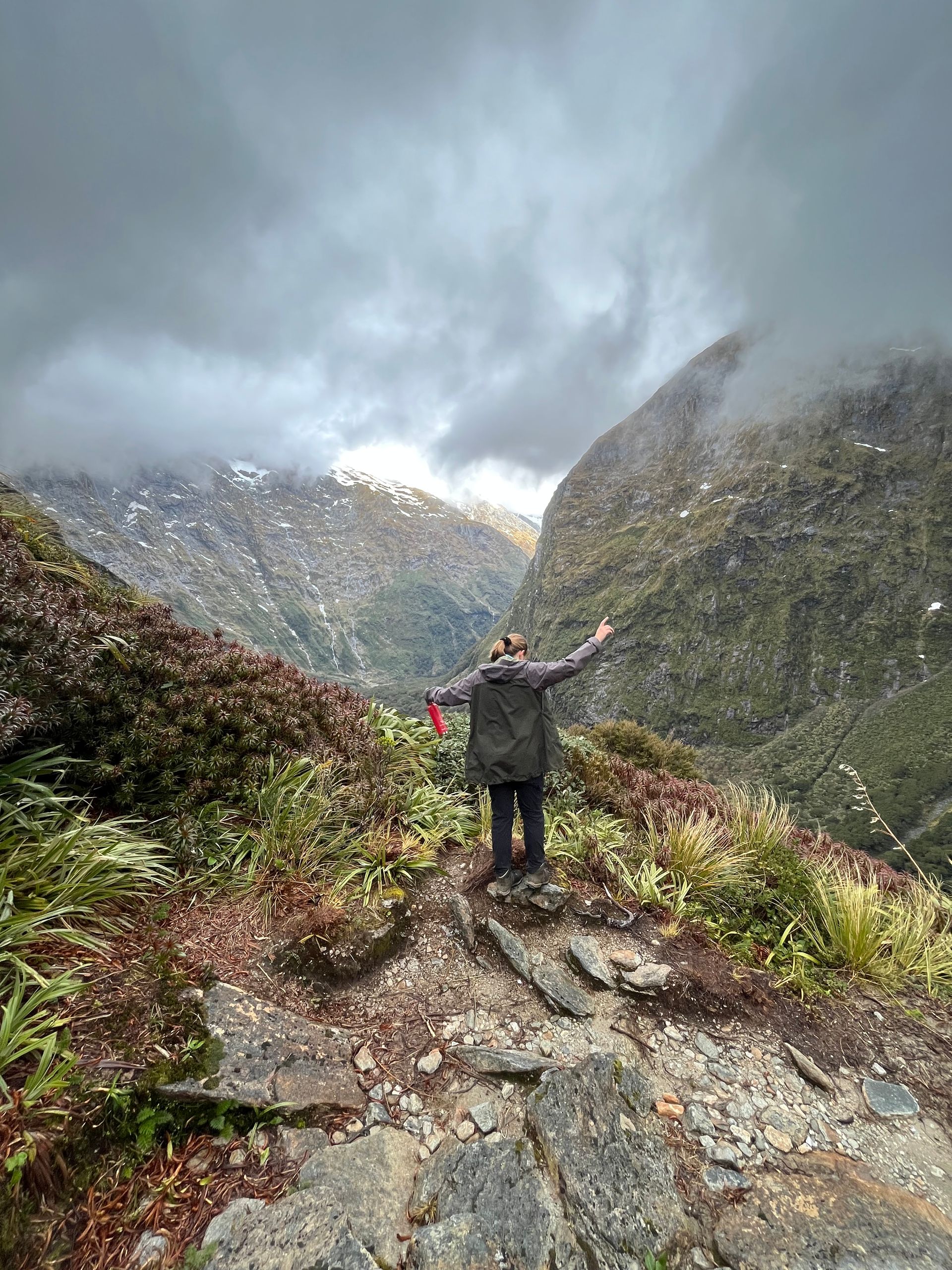
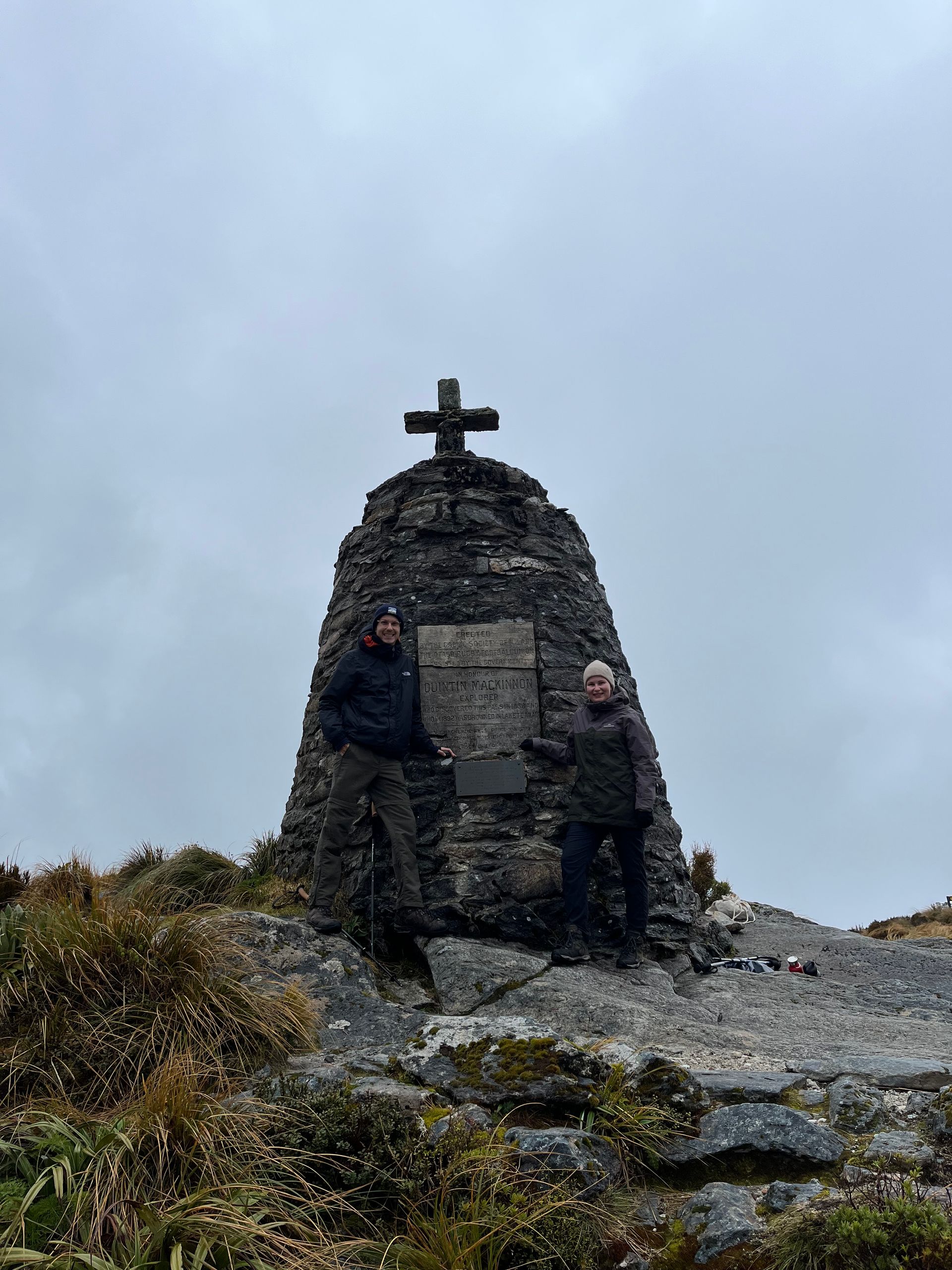
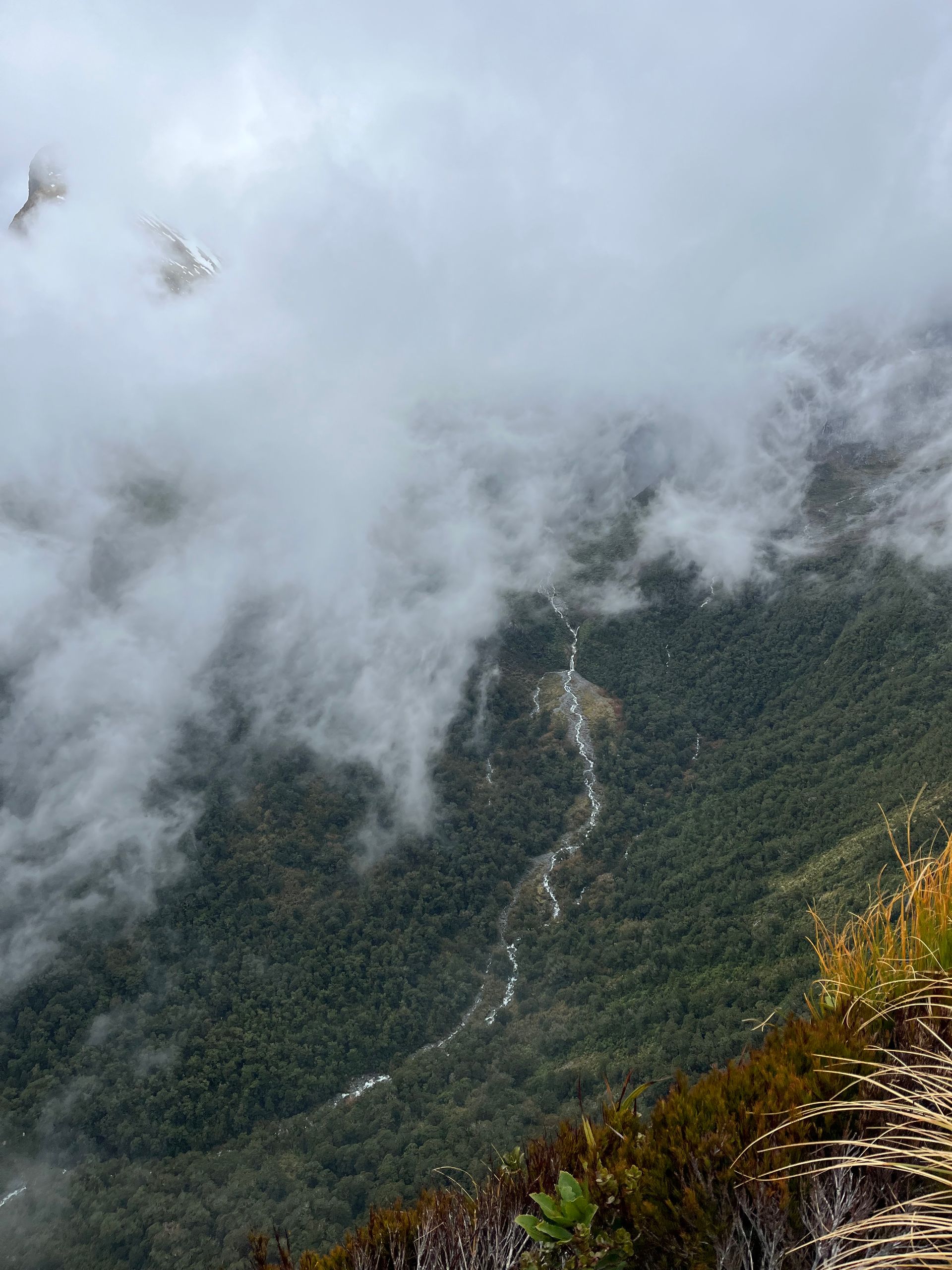
The next day began as the last had ended, with rain. After we peeled ourselves out of our sleeping bags and stowed our few belongings back into our two backpacks, we prepared a quick breakfast. Porridge with a few nuts and dried fruit had to be enough as a morning meal. Afterwards we quickly swapped our adilettes for hiking boots and started the second stage from Clinton to Mintaro Hut. What awaited us here? The short answer to the question is: 17.5 kilometers and around 350 meters in altitude. The slightly more detailed answer is: At the beginning we should follow a steady climb to Lake Mintaro, where the Clinton River rises, which has accompanied us since the start of the track. The path continued over a large, open plain and meandered past many waterfalls before there was supposed to be the first view of MacKinnon Pass - or not. There was a sign pointing this out, but thick cloud cover prevented any visibility. Shortly afterwards the first major climb followed as we went up a riverbed. After that it was only a few kilometers until we reached our destination in the early afternoon. Fortunately, the weather had improved over the course of the day, so we were rewarded with reasonably dry hiking equipment and fairly good visibility. And because 17.5 kilometers wasn't enough, Helene and I went one better. The ranger at the first hut had told us in the morning that bad weather was forecast for the next day and that those who wanted to have a reasonably good view of the pass might try the climb after the stage and then return to the pass should return to the hut. The actual pass crossing was planned for the third day. After we had left our things at the hut and had a quick refreshment, we set off on the climb. We climbed the switchback climb for about an hour until we arrived at the McKinnon Memorial. The memorial commemorates Quintin McKinnon, who discovered the route from Lake Te Anau to Milford, now known as the Milford Track, in 1888. Although it wasn't clear at the beginning whether we would actually see a view, we were rewarded for our efforts. We had a clear view of the Clinton Valley for almost the entire climb. Once at the top, we were able to enjoy the view of the other side of the mountain for a few seconds before the clouds came up again. In order to get back to the hut on time, we only stayed at the memorial for half an hour before we started the descent again. After a total of 23 kilometers and about eight hours of hiking, we absolutely deserved our dinner. This time pasta with pesto was followed by risotto. Admittedly, it came out of the bag, but it was still delicious. The ranger talk followed again. After the weather had been pretty good over the day, that was supposed to change again for the next day. As soon as we had prepared our food in the evening, it started to rain heavily. Up to 140 liters of precipitation per square meter, along with snowfall and squalls, were forecast for the third day of our hike. Due to the bad forecast, there was even talk of the track closing, which is why another ranger talk was scheduled for 8 a.m. the next morning. With a good dose of excitement, we retreated to the sleeping bags and went to bed for the second night.
Day 3
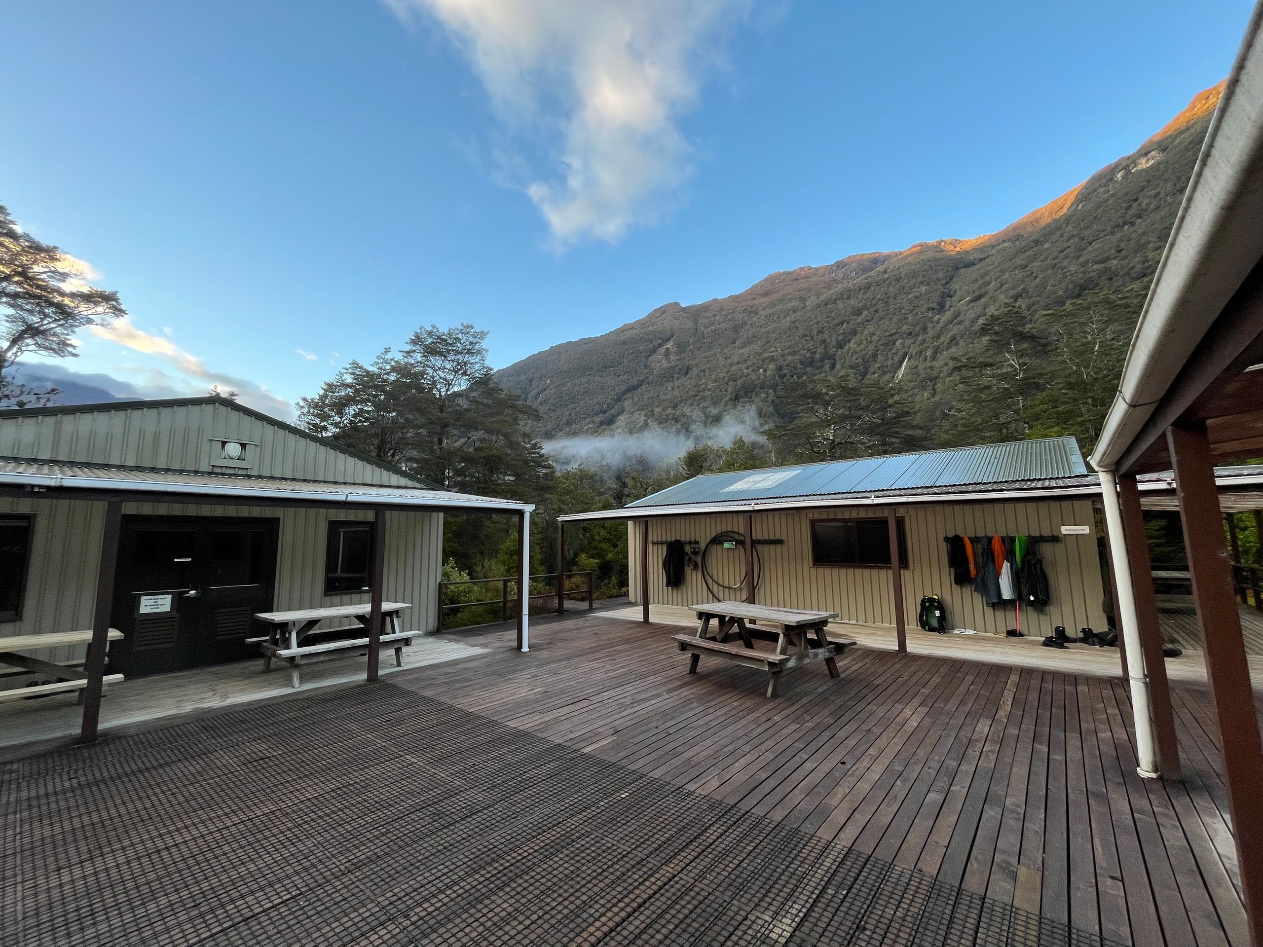
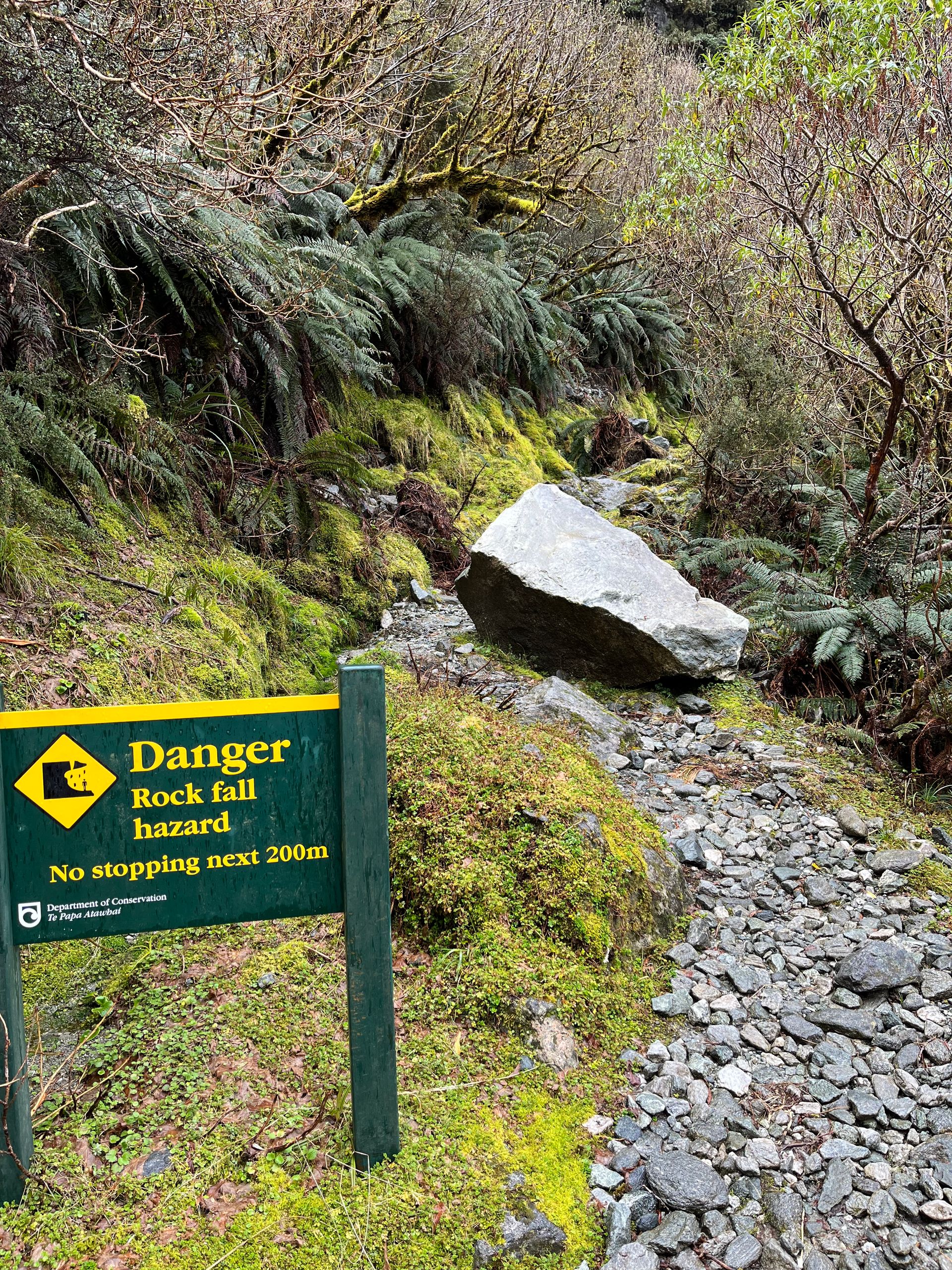
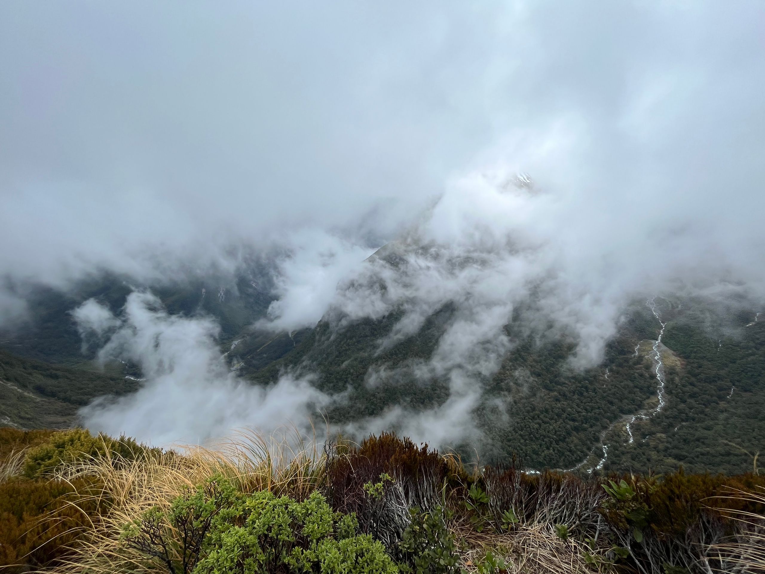
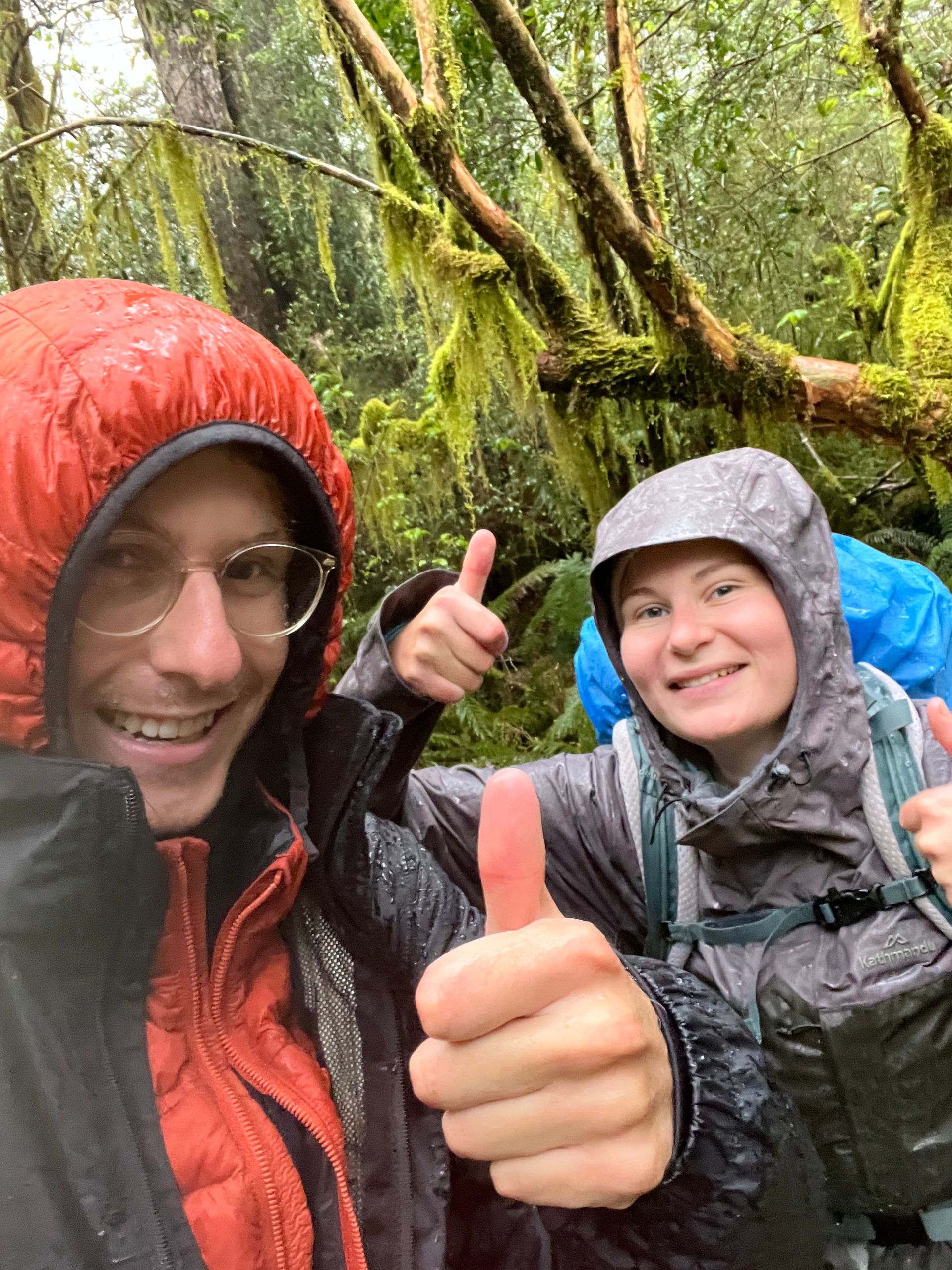
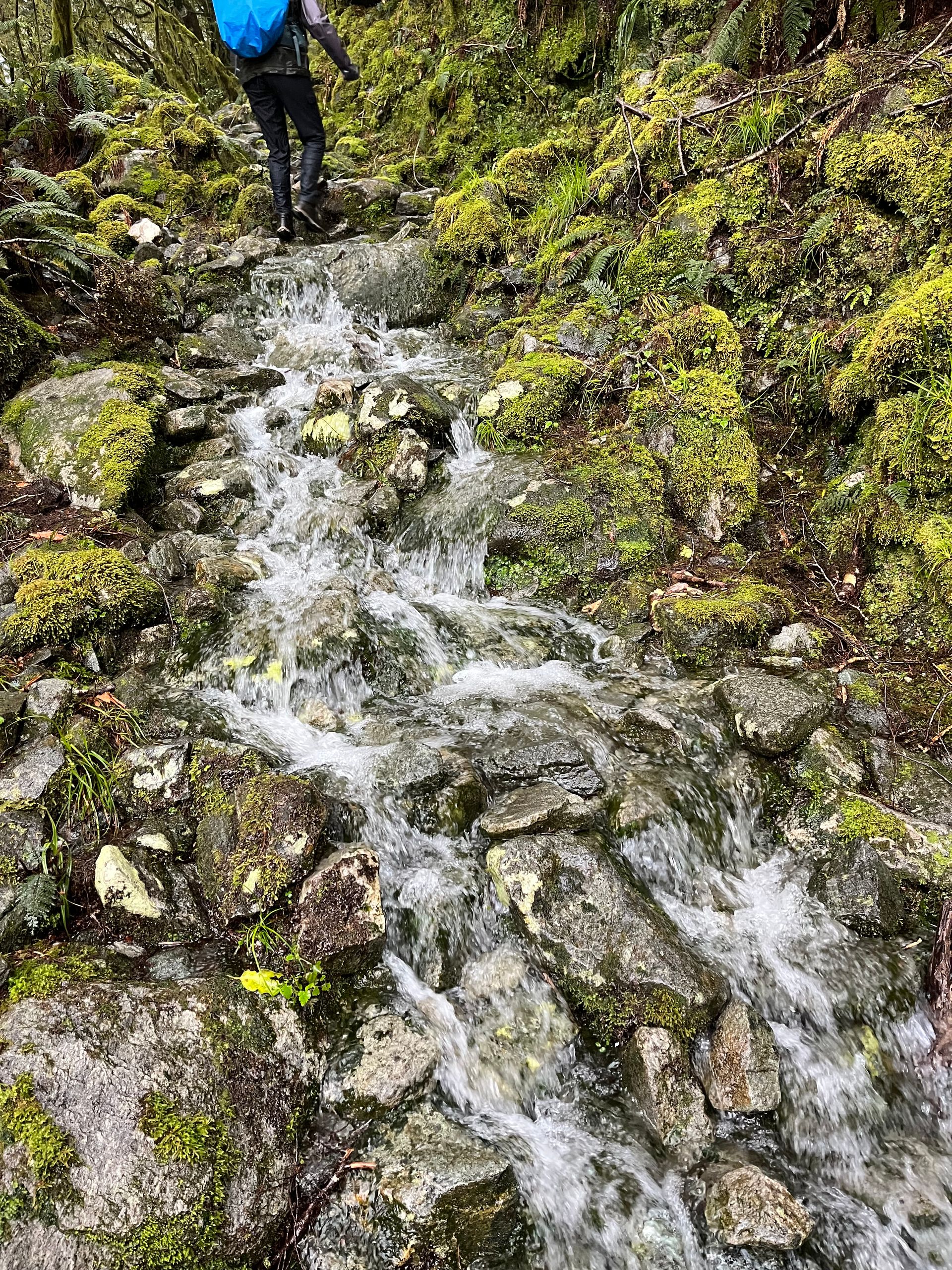
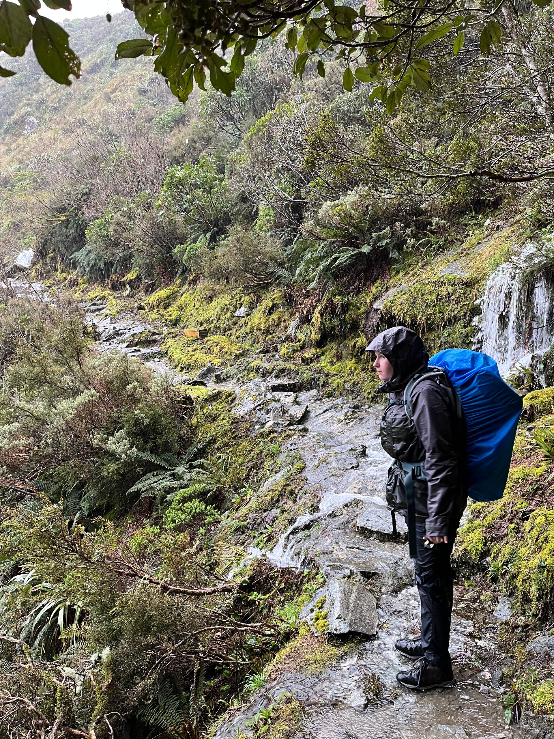
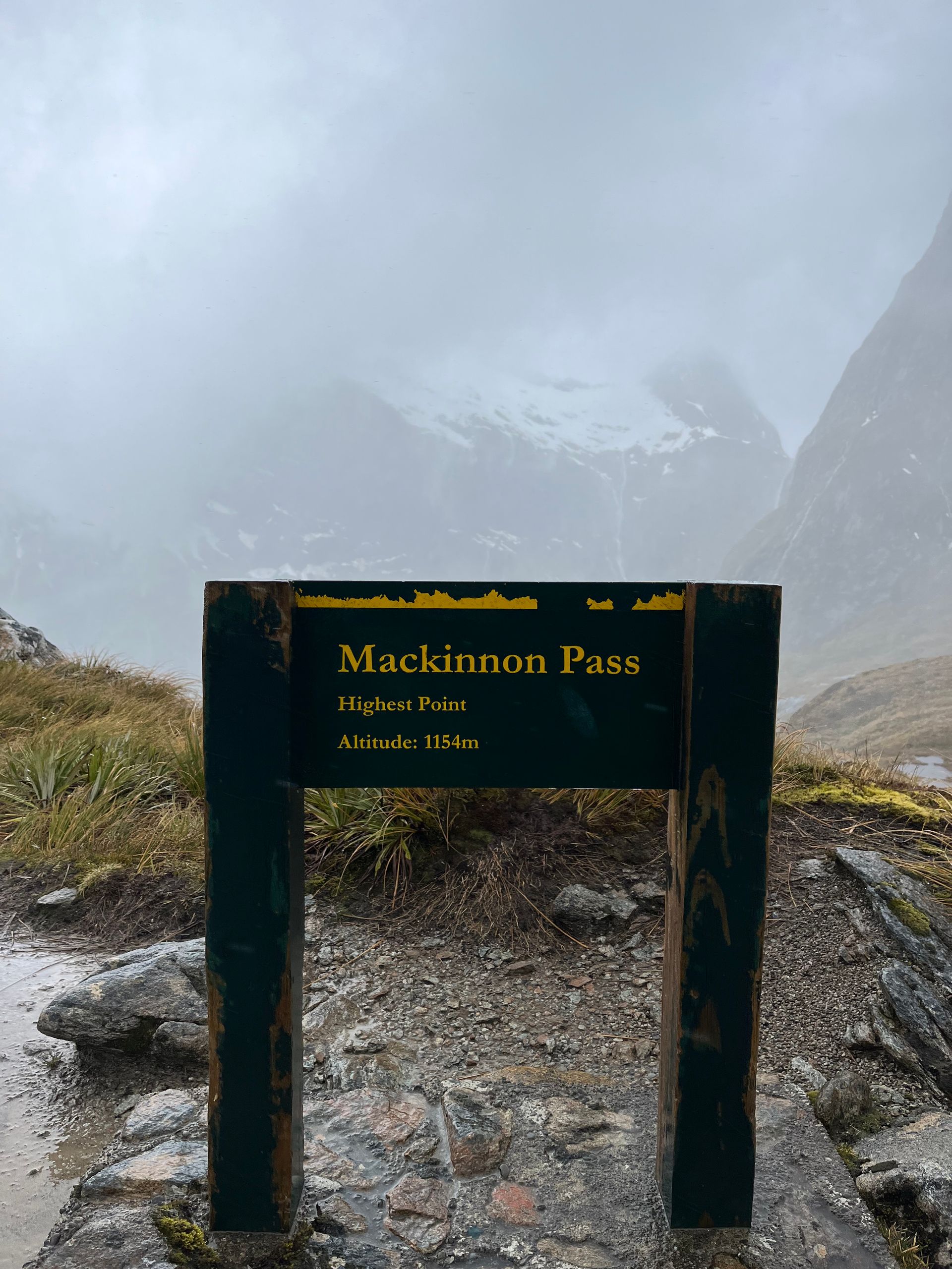
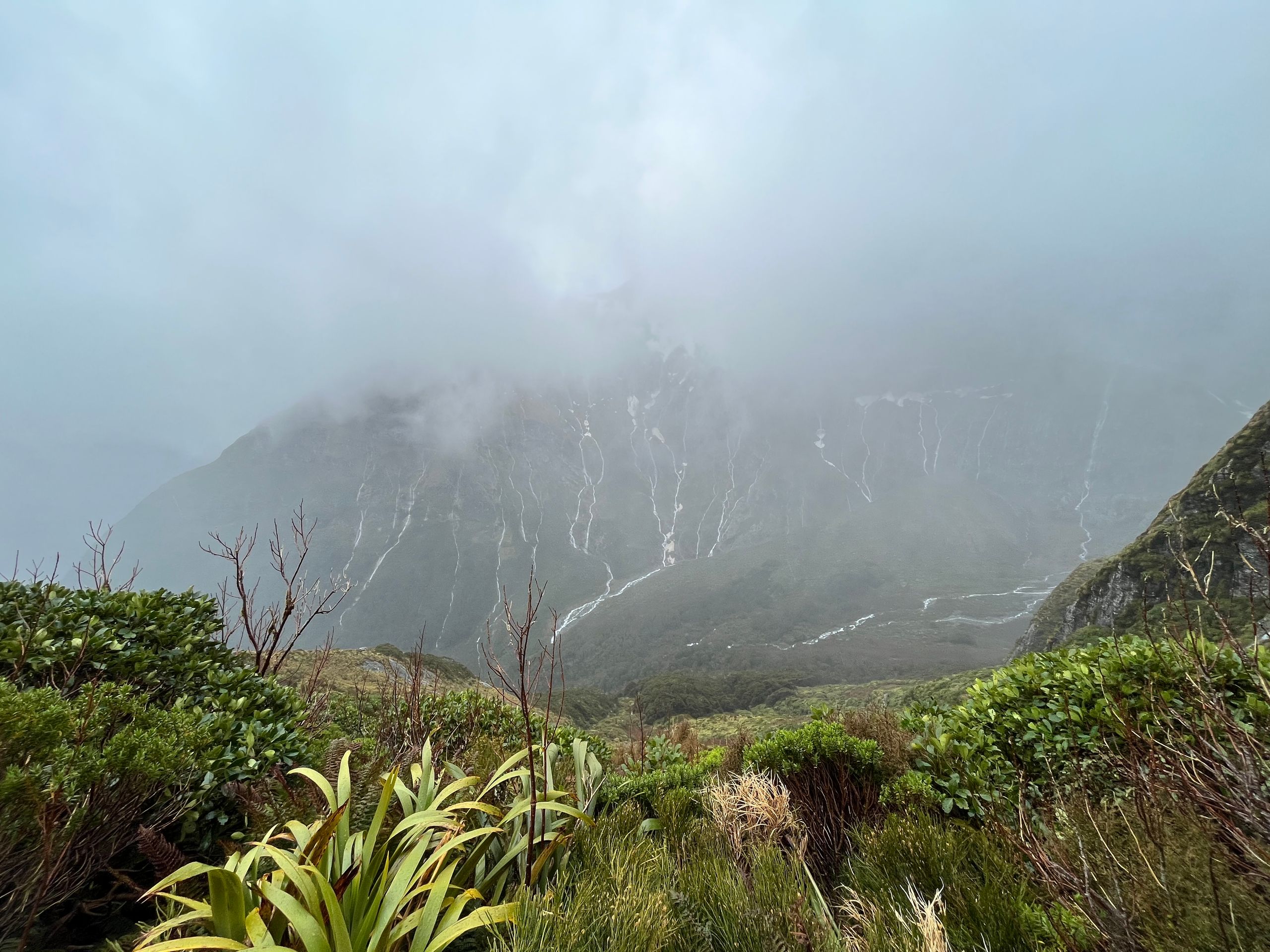
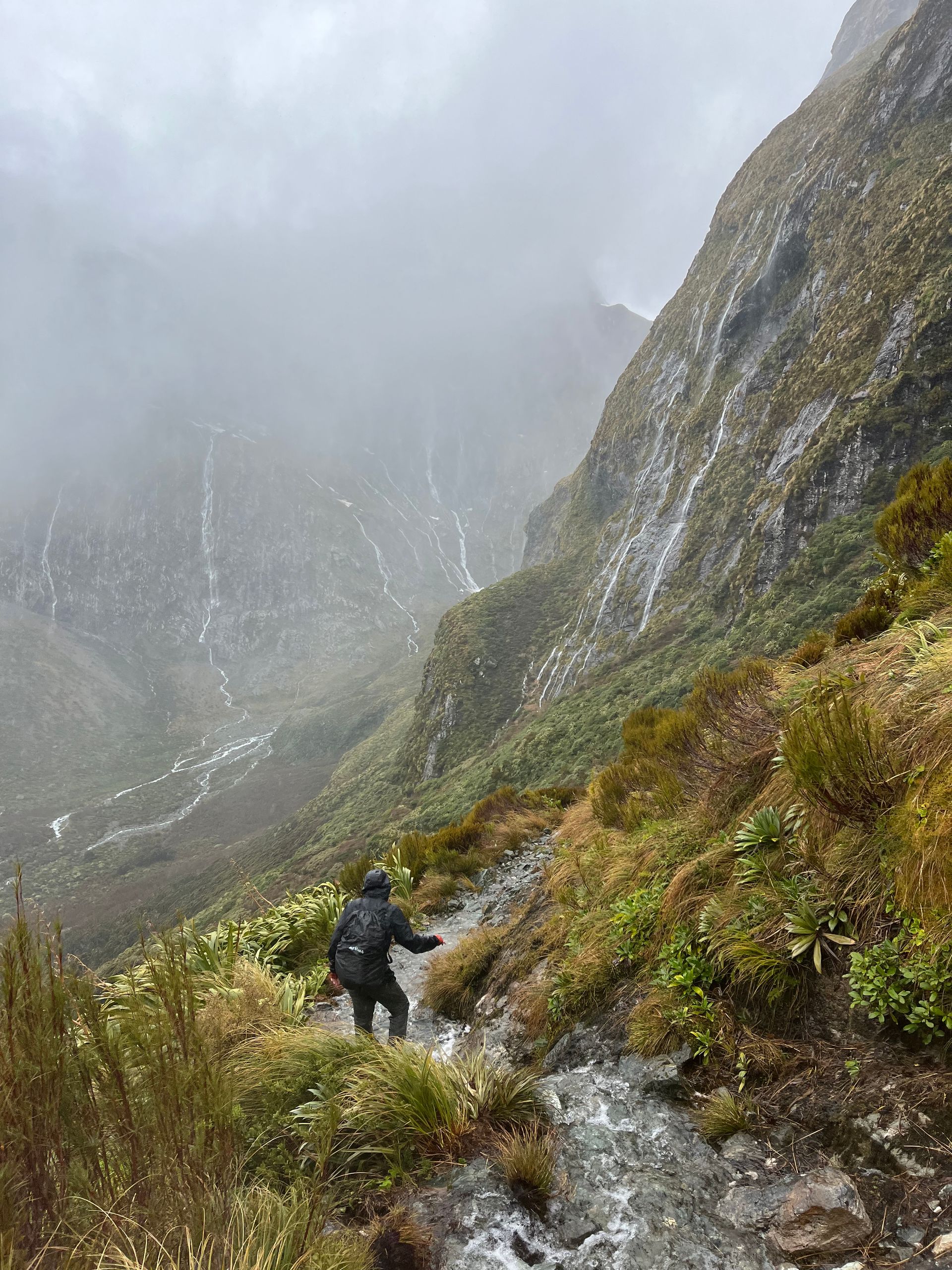
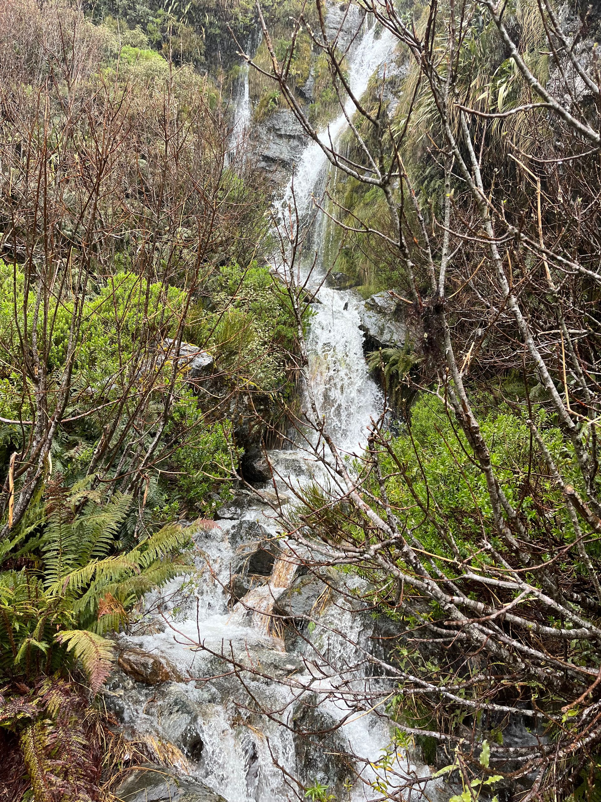
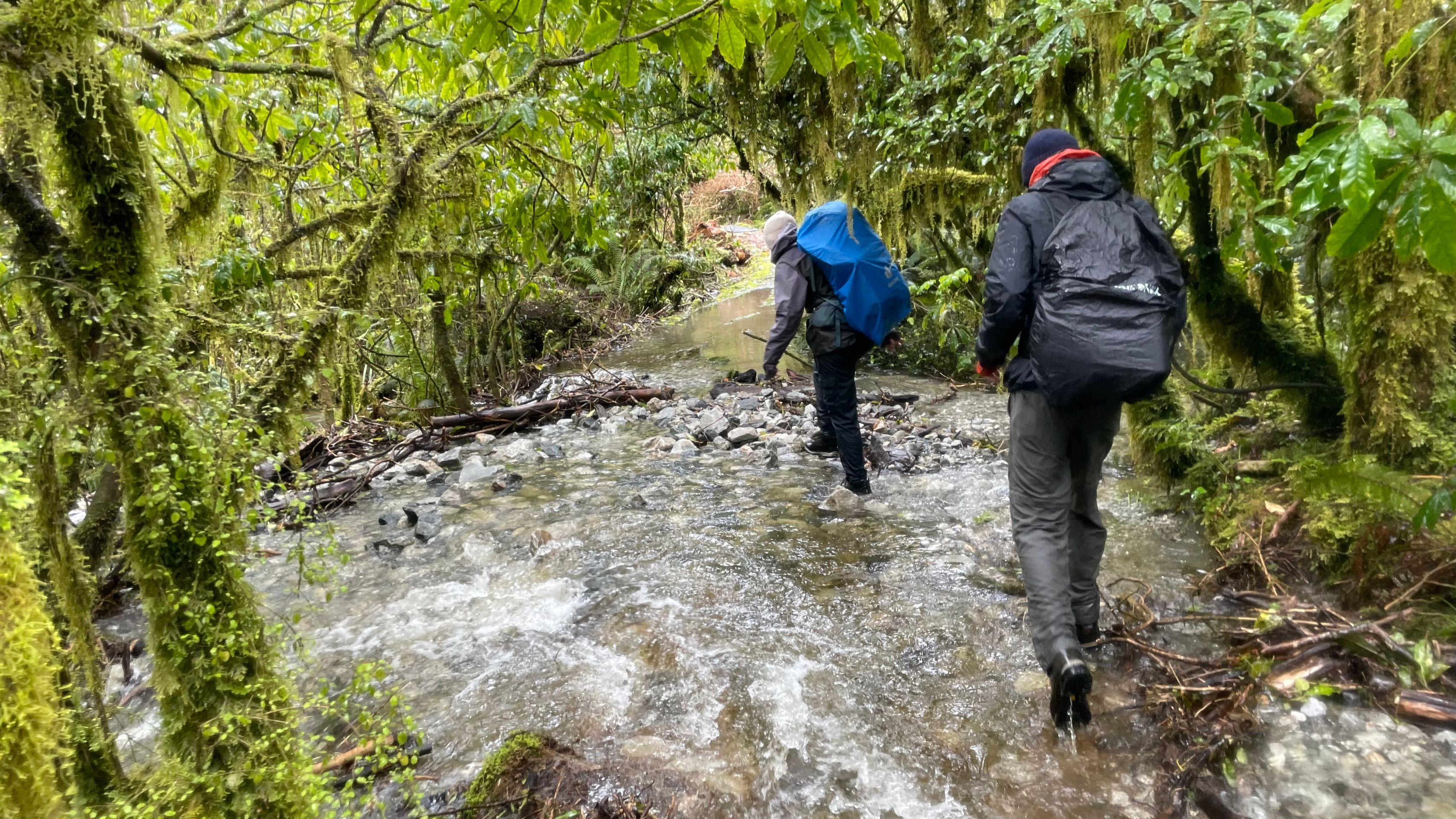
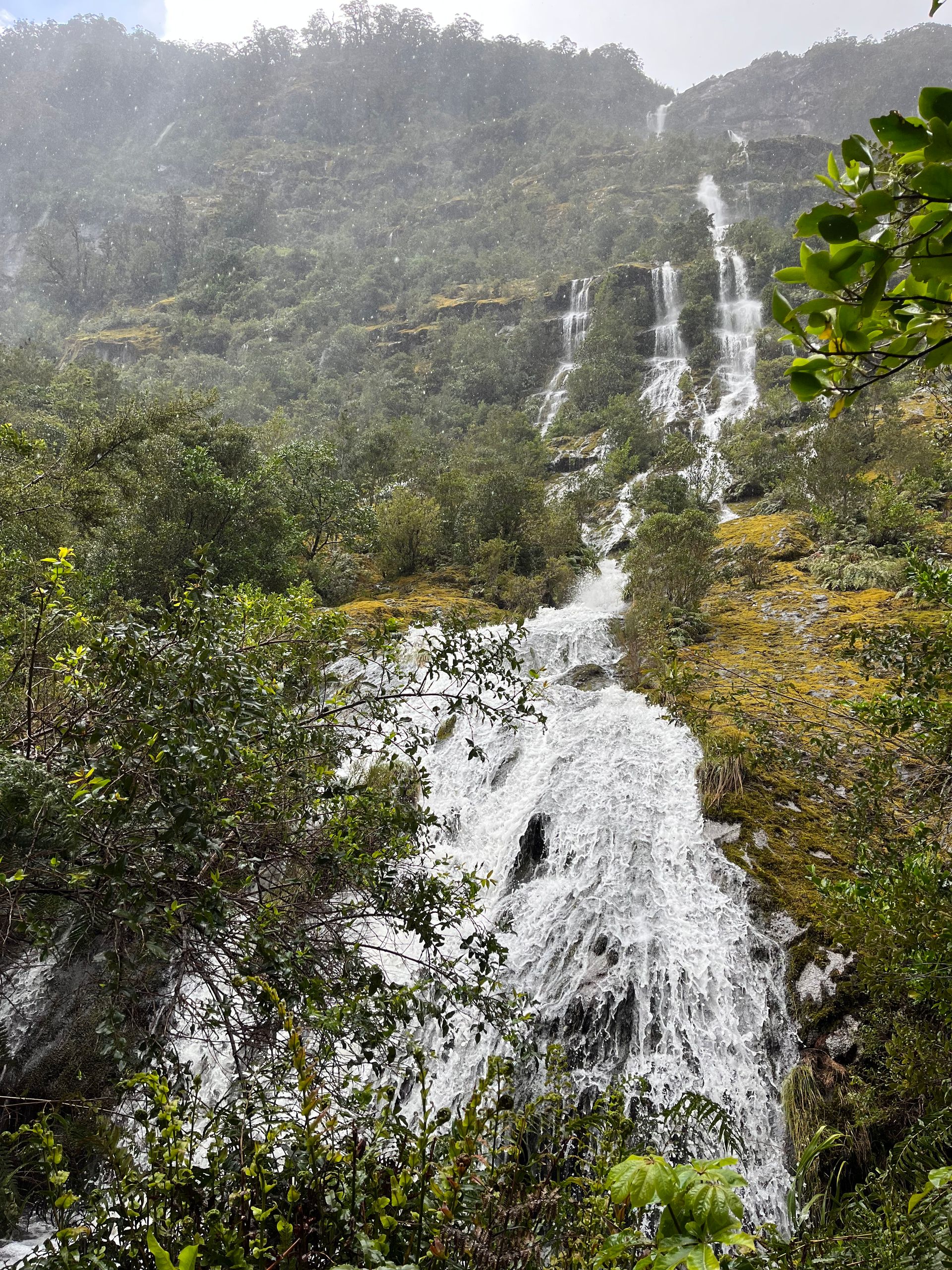
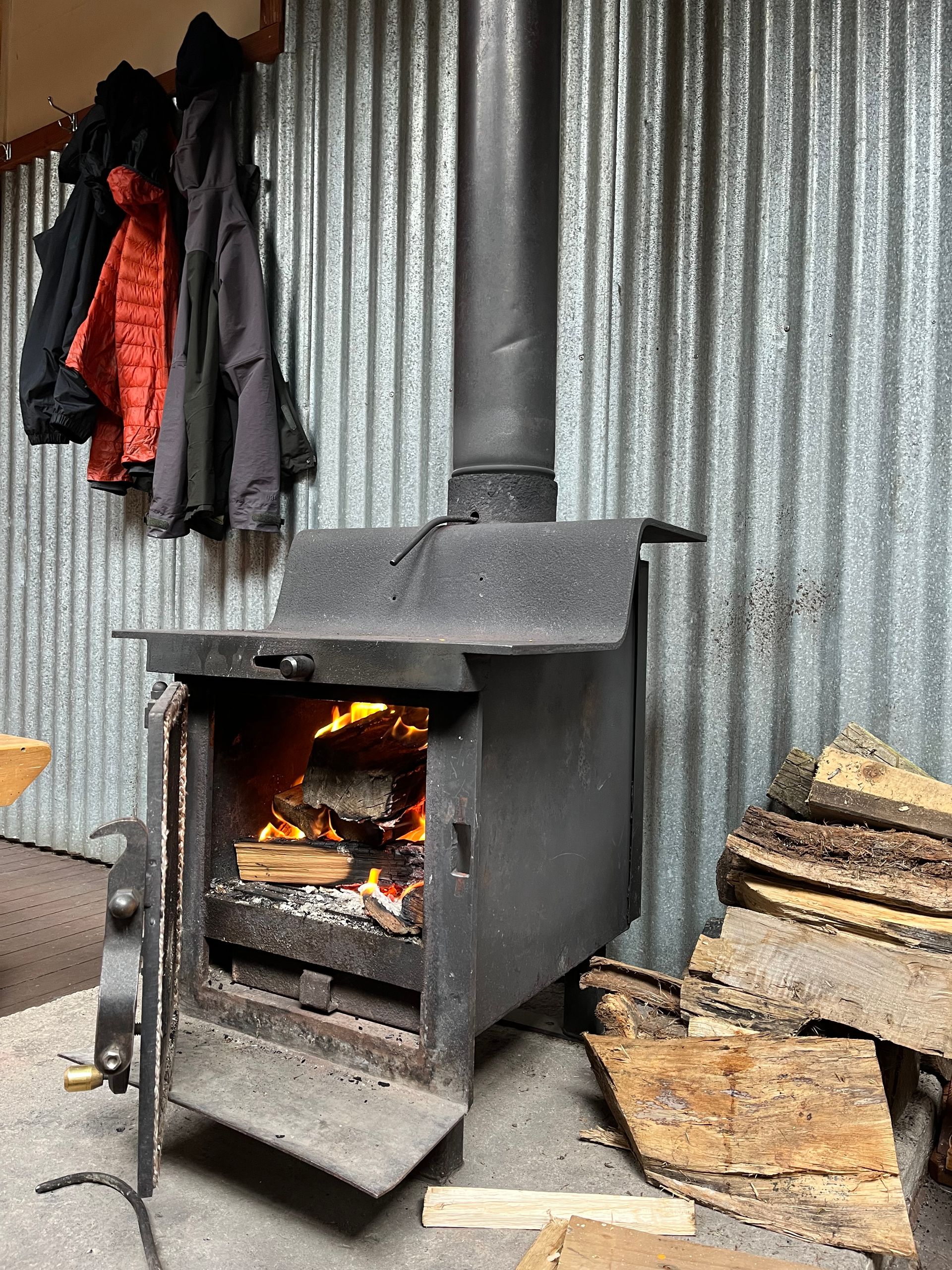
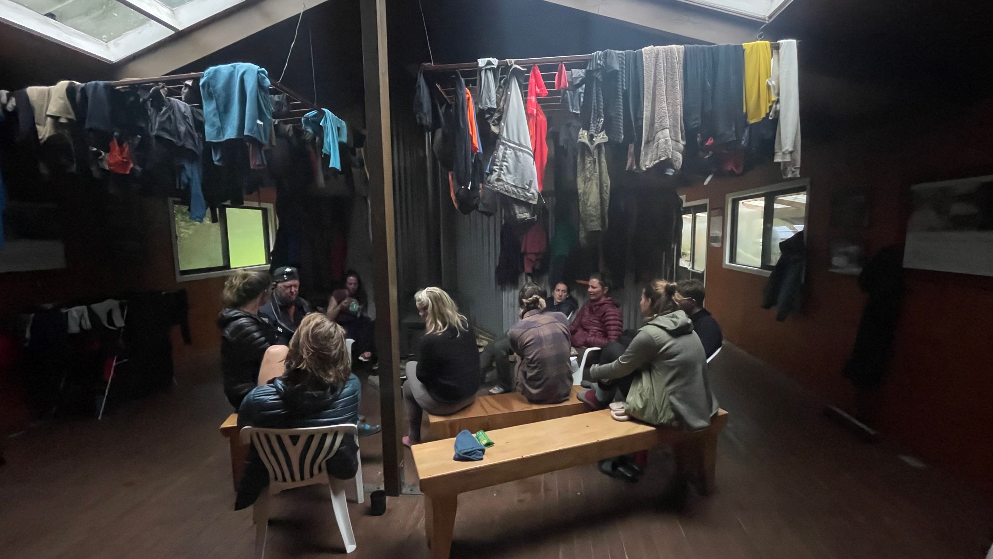
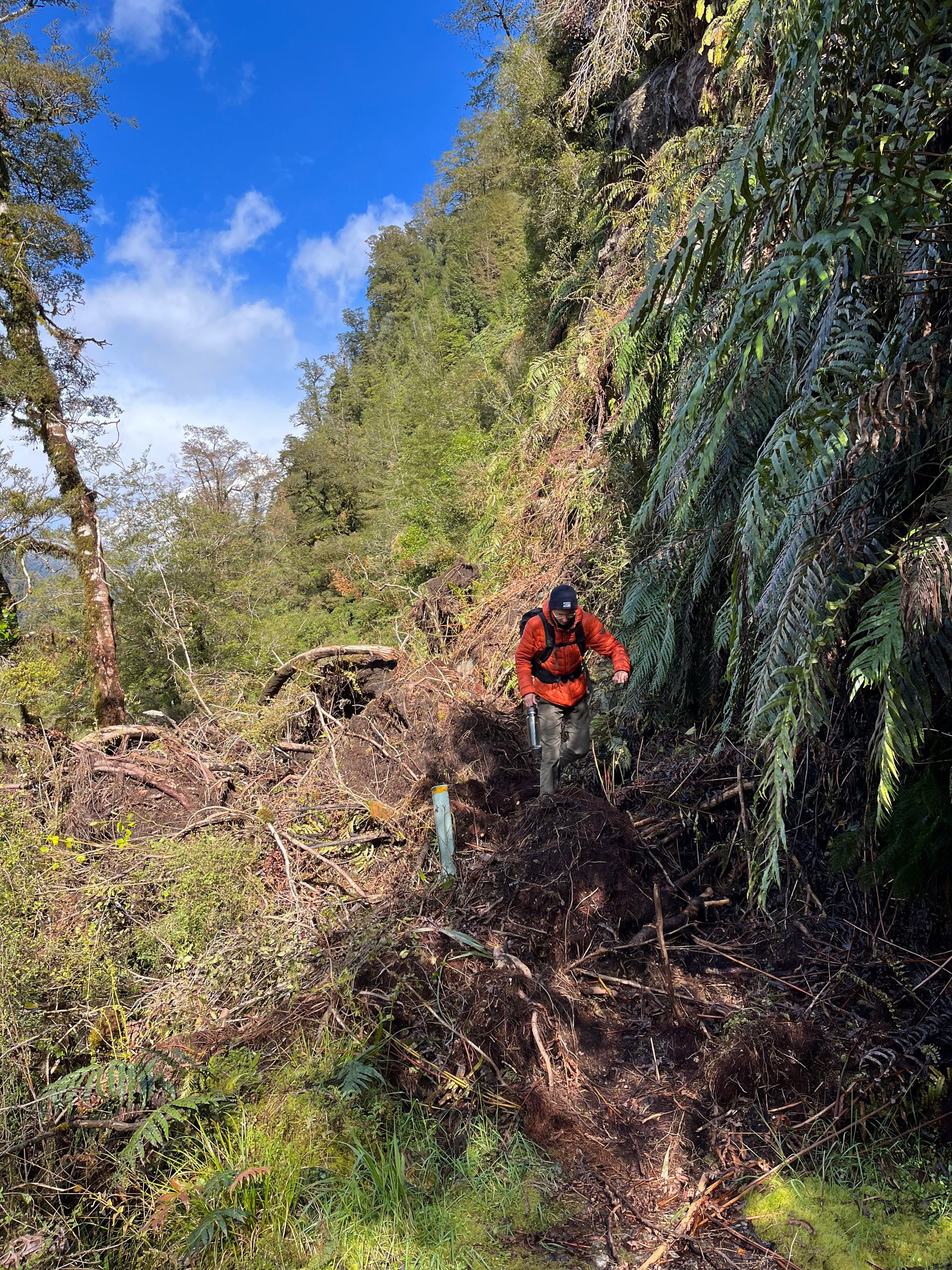
The ranger didn't promise too much, when we woke up the next morning we could already see the masses of water coming down the rock faces and from the sky. It had been raining cats and dogs all night long. We were actually convinced that we wouldn't be allowed to run under the conditions, so we were all the more surprised when we were given the go-ahead. On the way, the ranger told us that we had to hurry, because from midday the rain on the pass was expected to turn into snow. Without wasting much time, we took all the rain protection measures and started on the third stage, which was supposed to be the toughest at 13 kilometers and 600 meters in altitude. Despite all the measures, it took less than five minutes until we were soaking wet. Where there was a normal path the day before, today there was a small stream that found its way into the valley. There were also waterfalls that flowed from the mountain walls. At times we were up to our ankles in water and had to be careful not to get swept away. After almost three hours we reached the pass at 1,154 meters. The weather had worsened over time, with violent gusts of over 100 kilometers per hour blowing freezing rain and snow into our faces. In addition, there were these incredible masses of water. At that moment it really wasn't any fun and we didn't know how we were going to get down the mountain safely. However, we didn't have a real choice; turning around wasn't an option due to the circumstances, so our only option was to flee forward. Shortly after we started the descent, we came to a barrier sign indicating that the normal route was closed and that you should follow the emergency route. Anyone who now thinks that the emergency route should possibly represent a safe alternative was wrong. We climbed down slopes, slid down small waterfalls, and shimmied past rock outcroppings. And all of this in heavy rain and gusts of wind. Here we have reached our limits. Due to the conditions, we avoided a small detour to see New Zealand's highest waterfall, the Sutherland Fall, at 500 meters, and enjoyed the view from a distance. Despite everything, we finally reached the Dumpling Hut in the afternoon, where we immediately hung up our clothes to dry and made ourselves comfortable in front of the wood stove. A day that we will remember for a long time ended with warmed risotto and a curry sauce.
Day 4
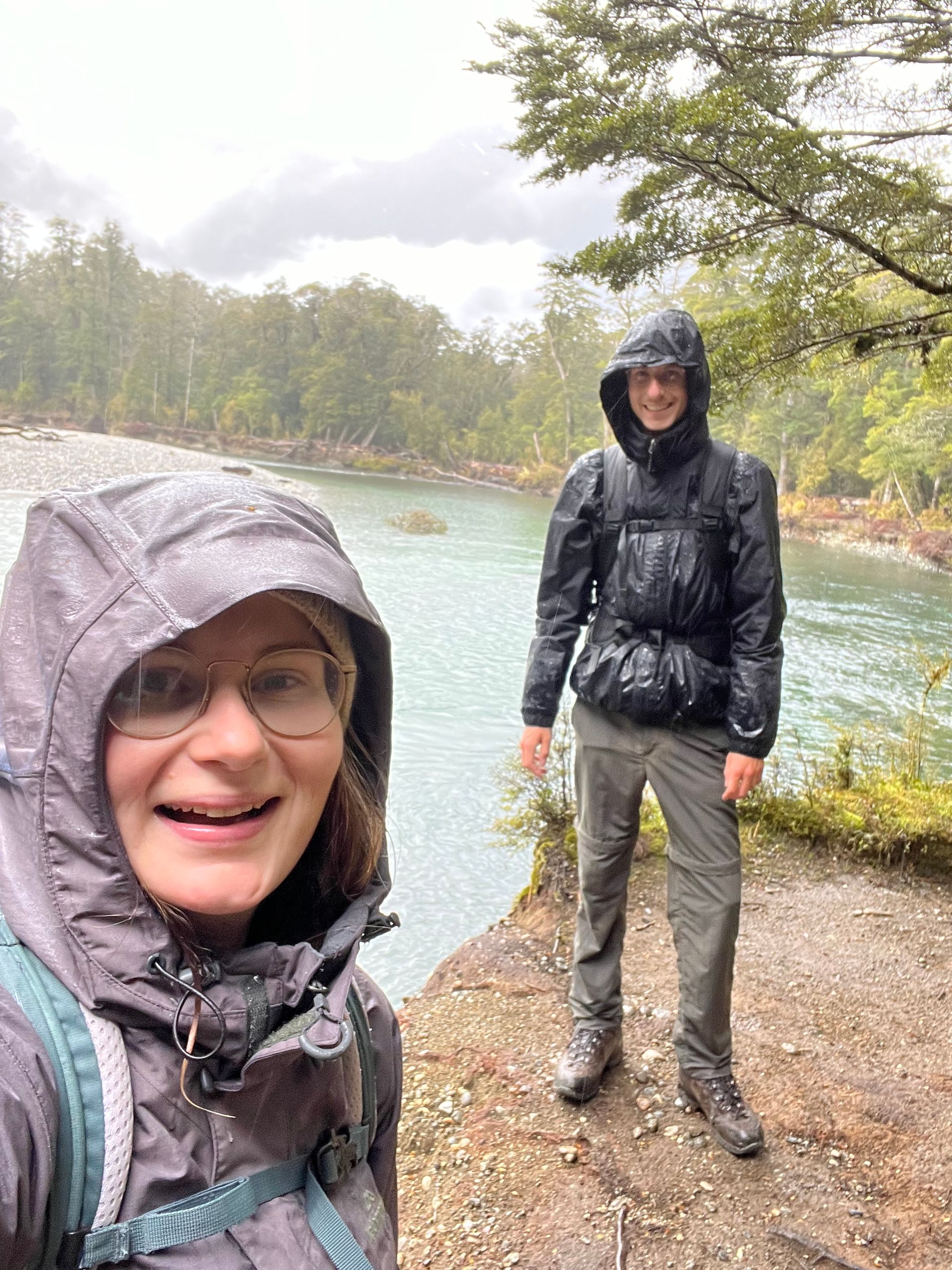
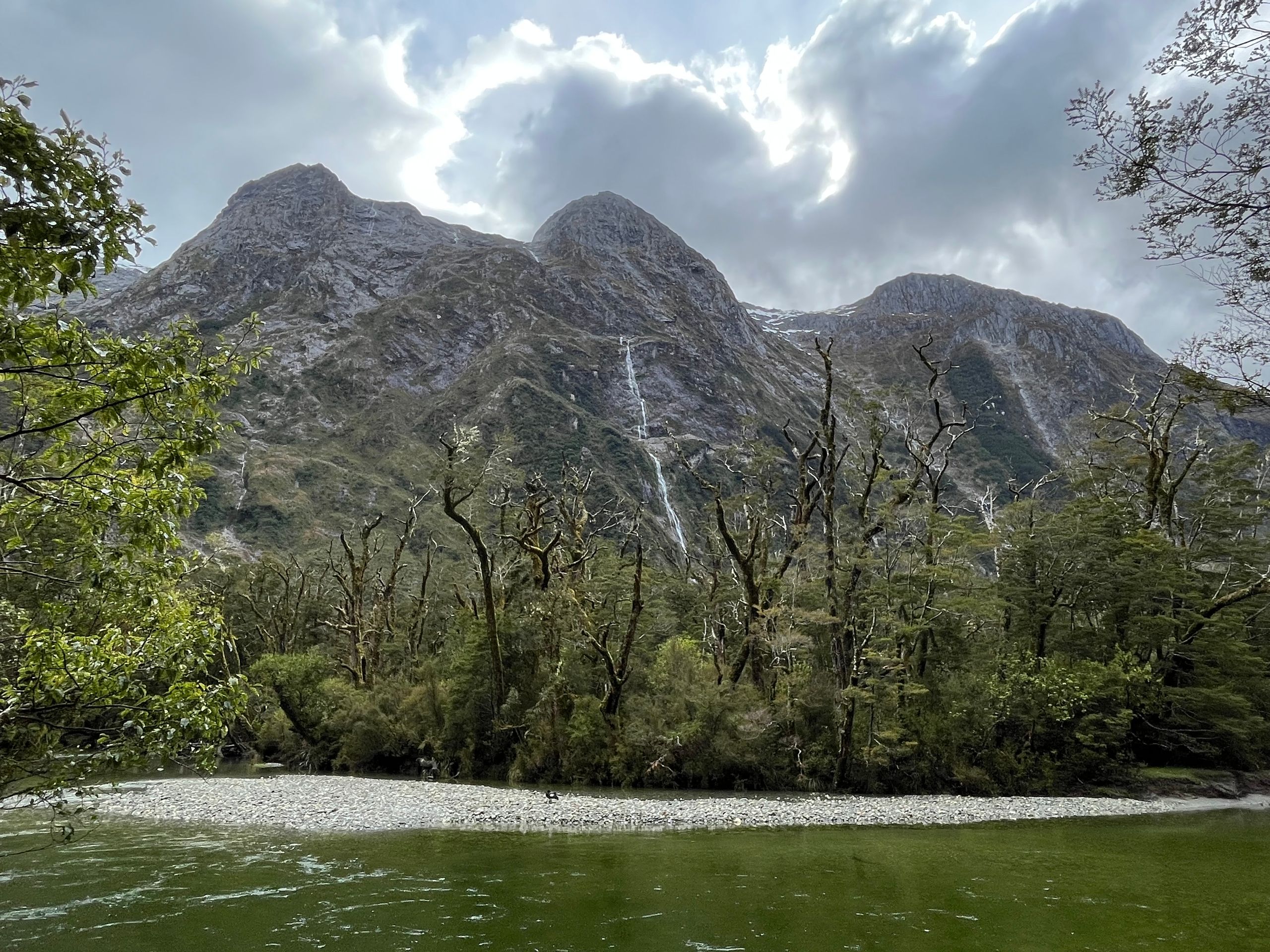
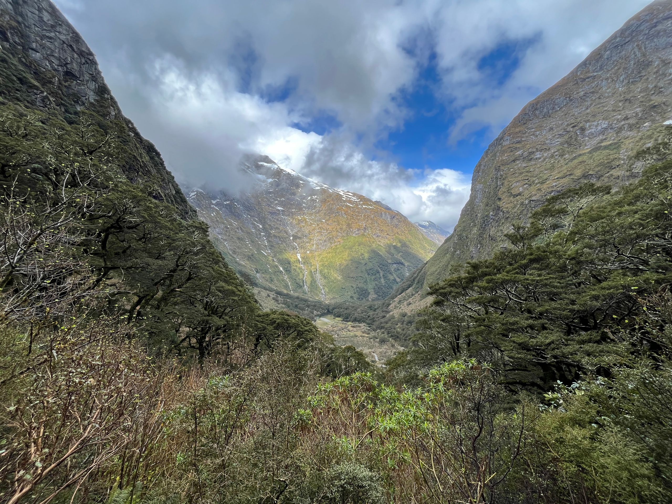
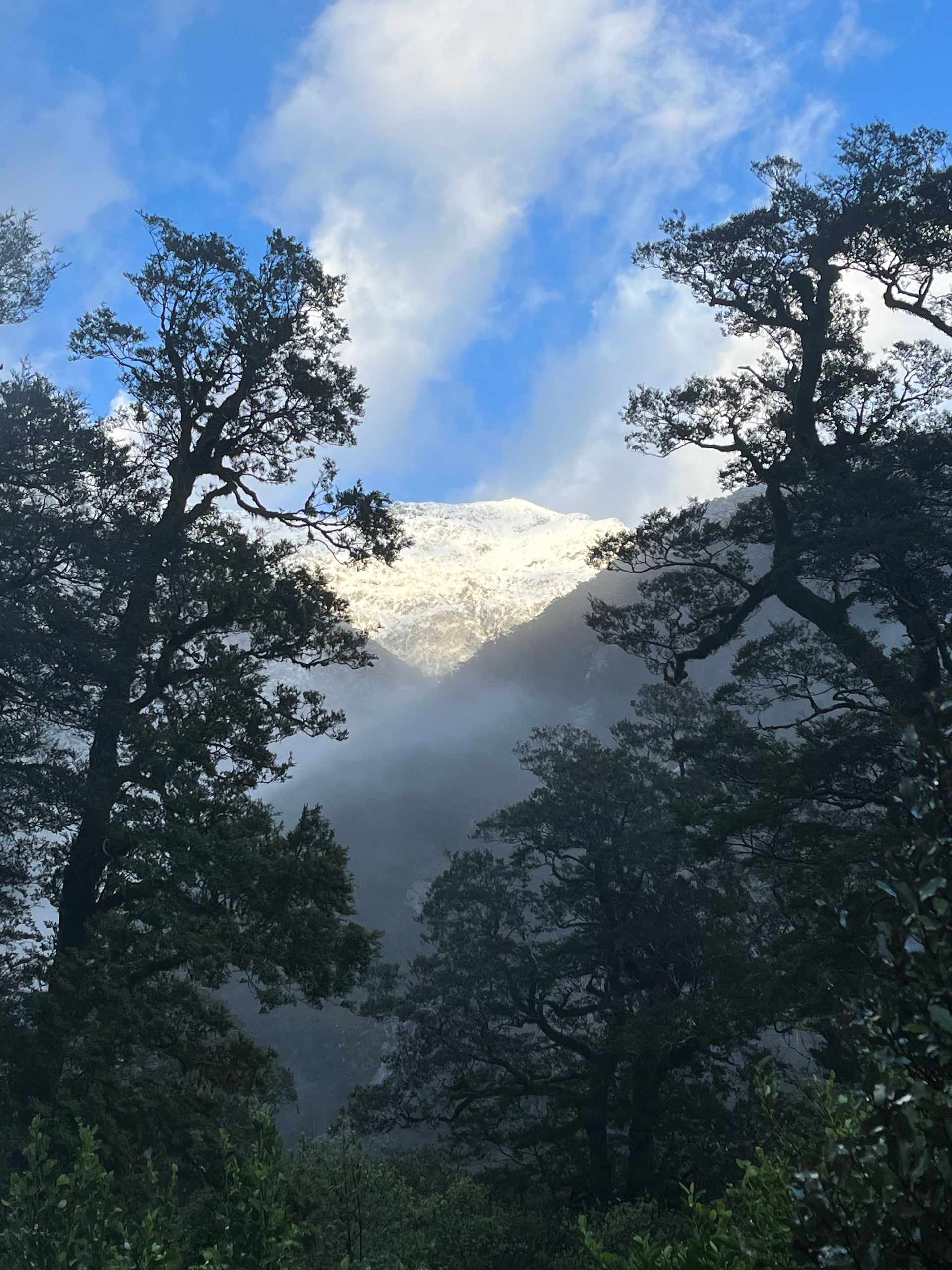
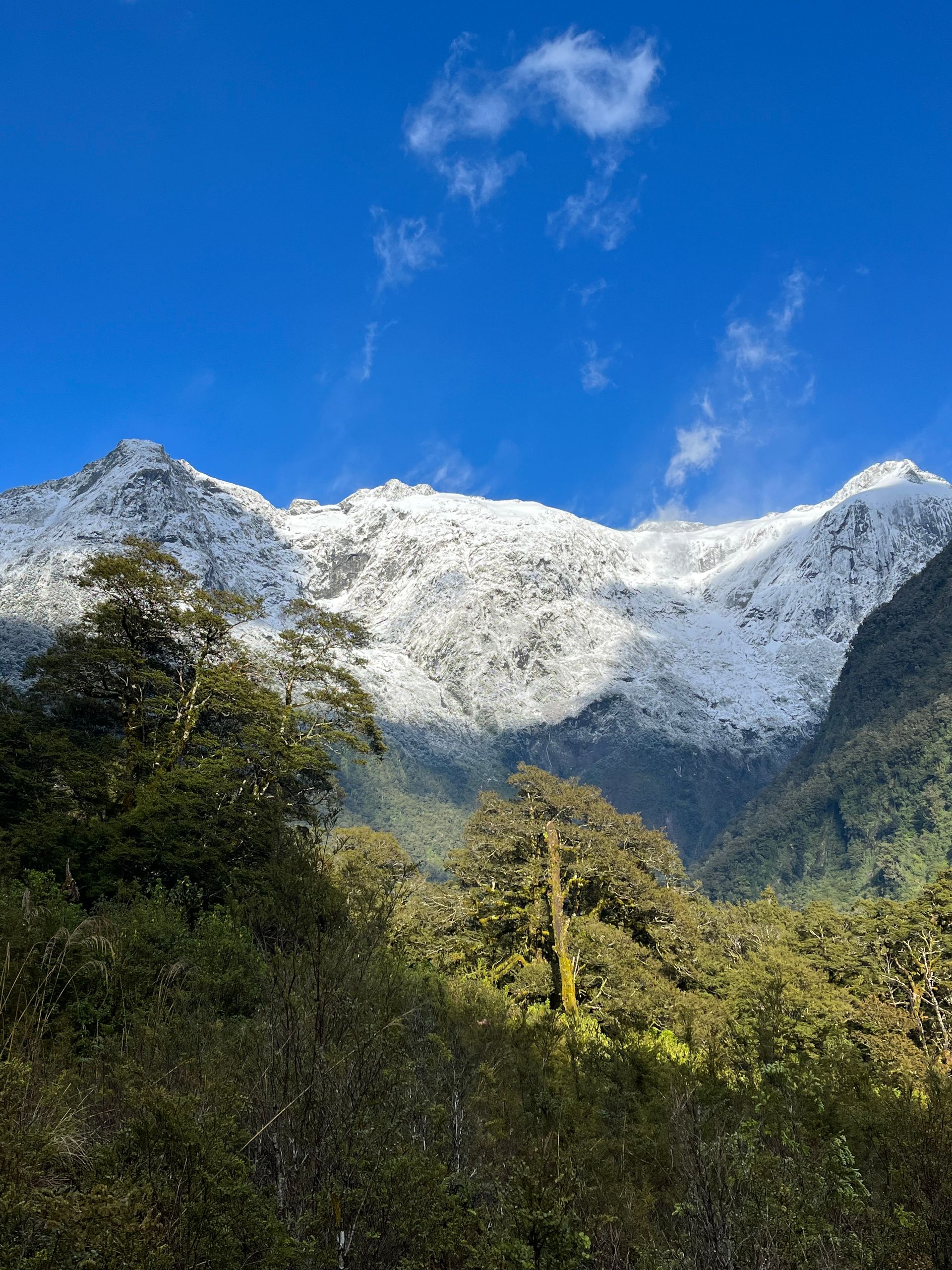
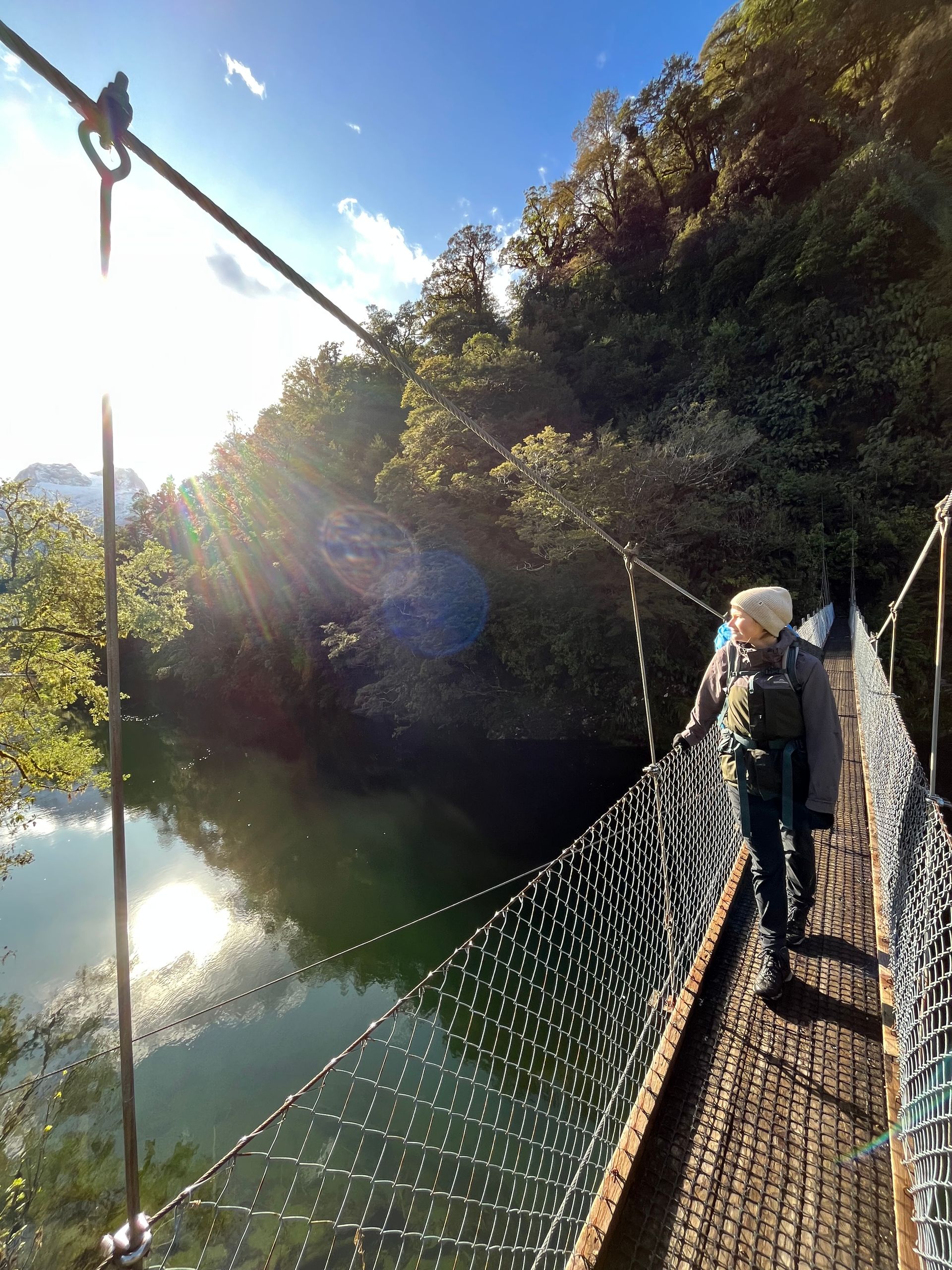
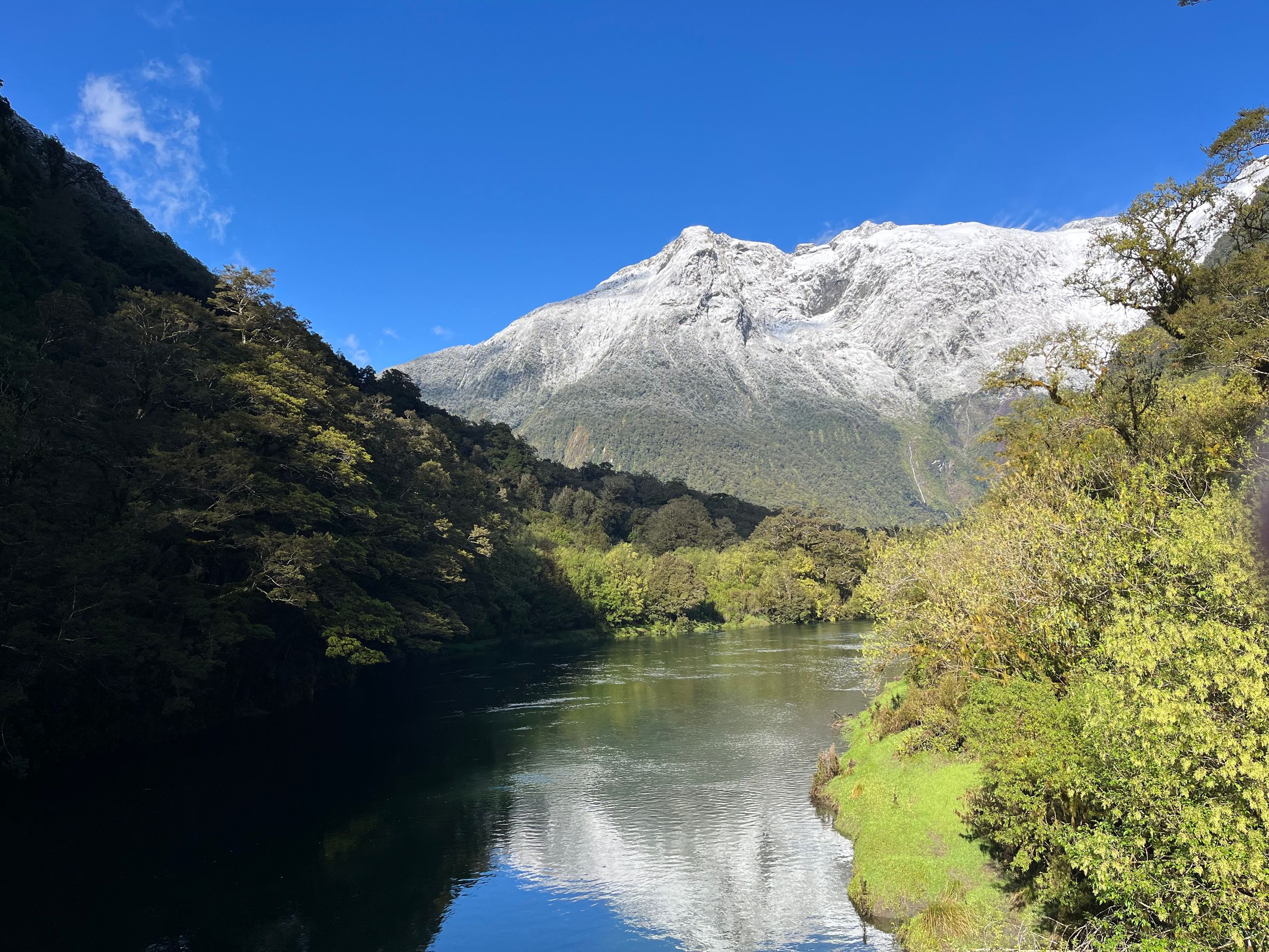
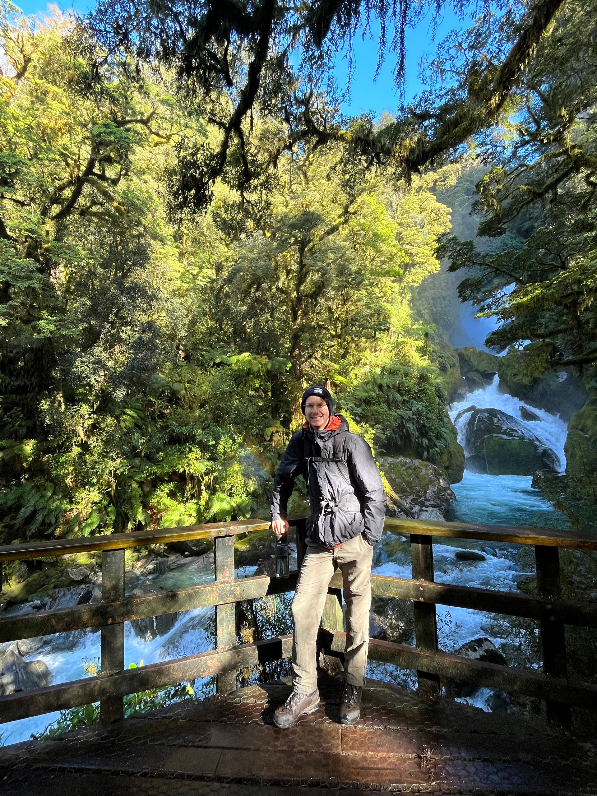
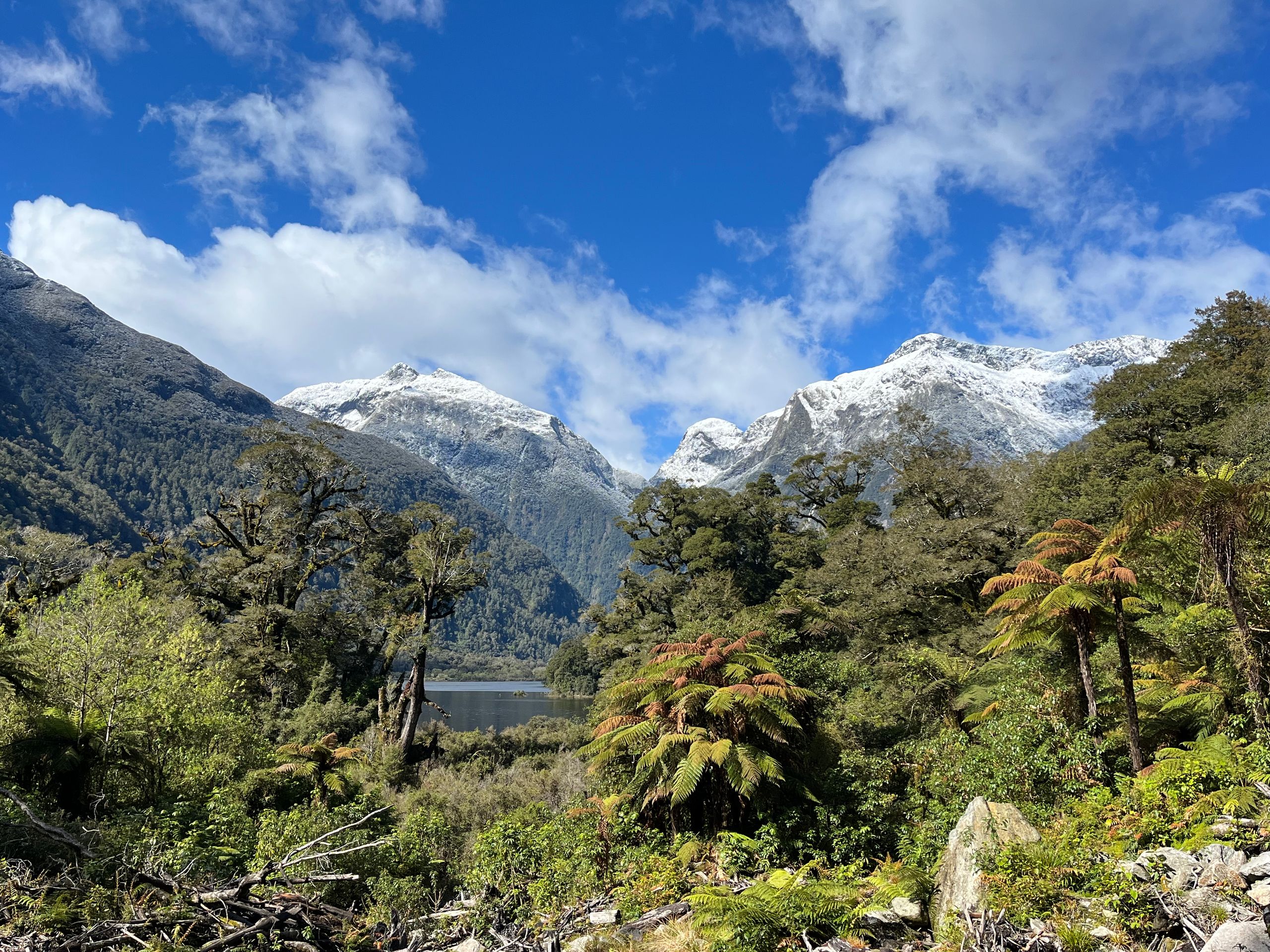
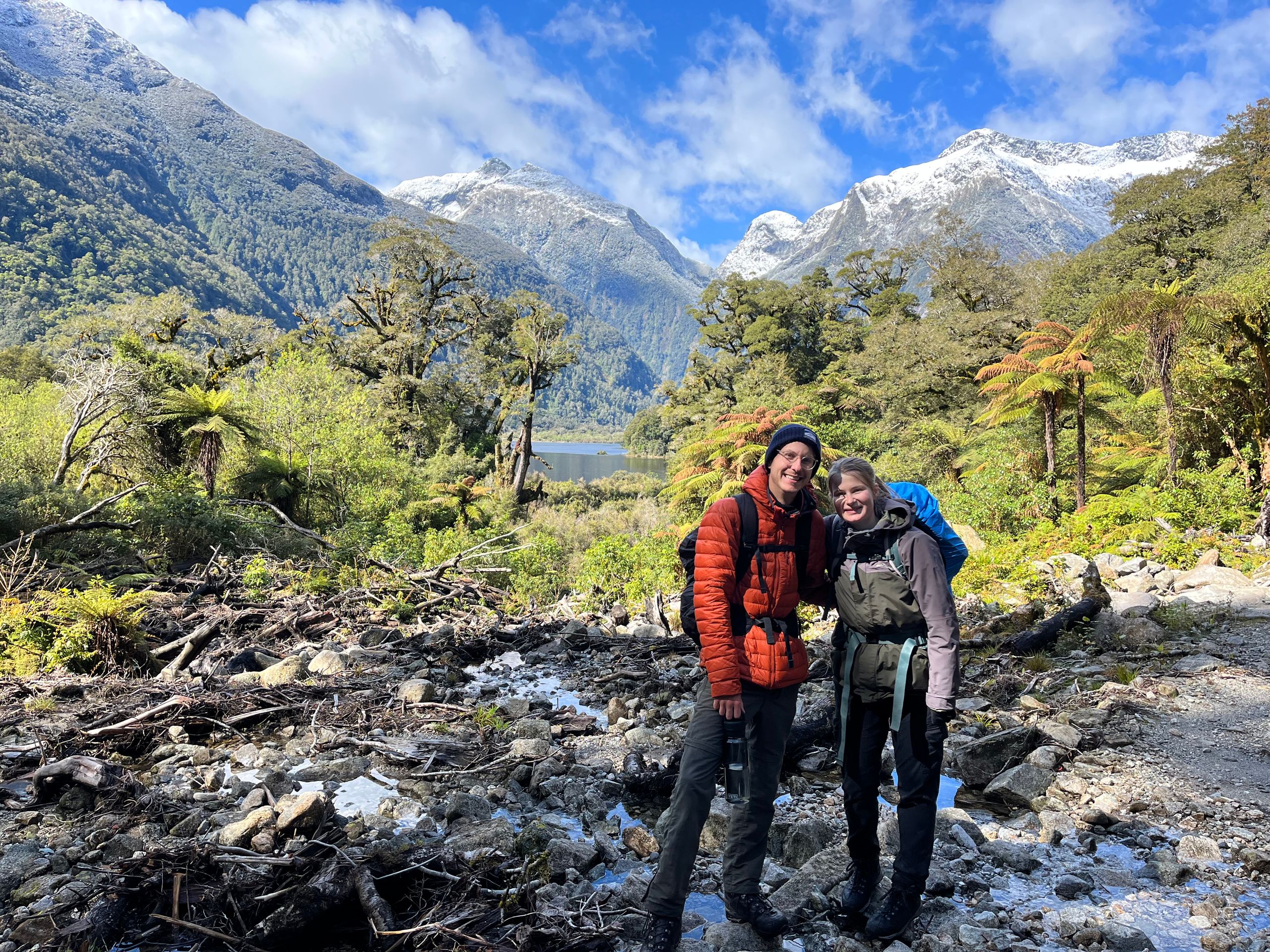
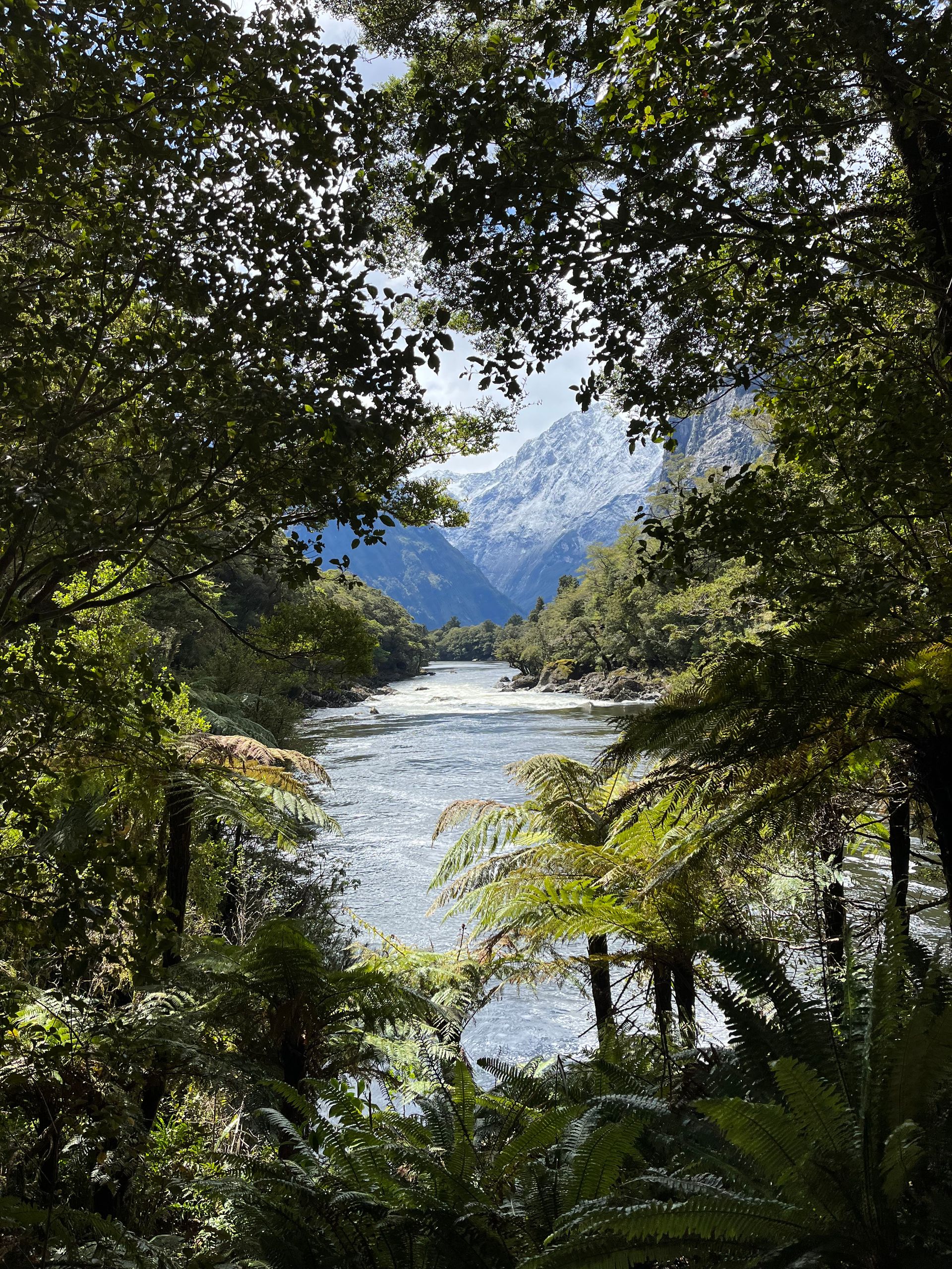
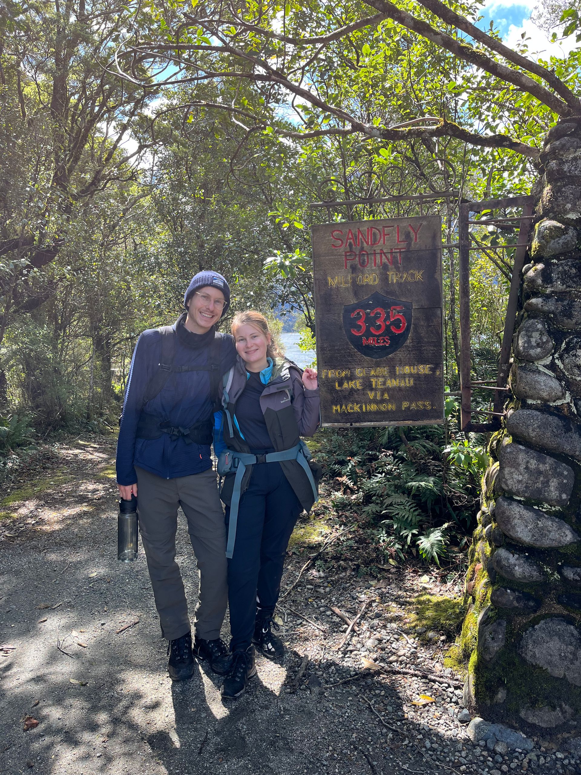
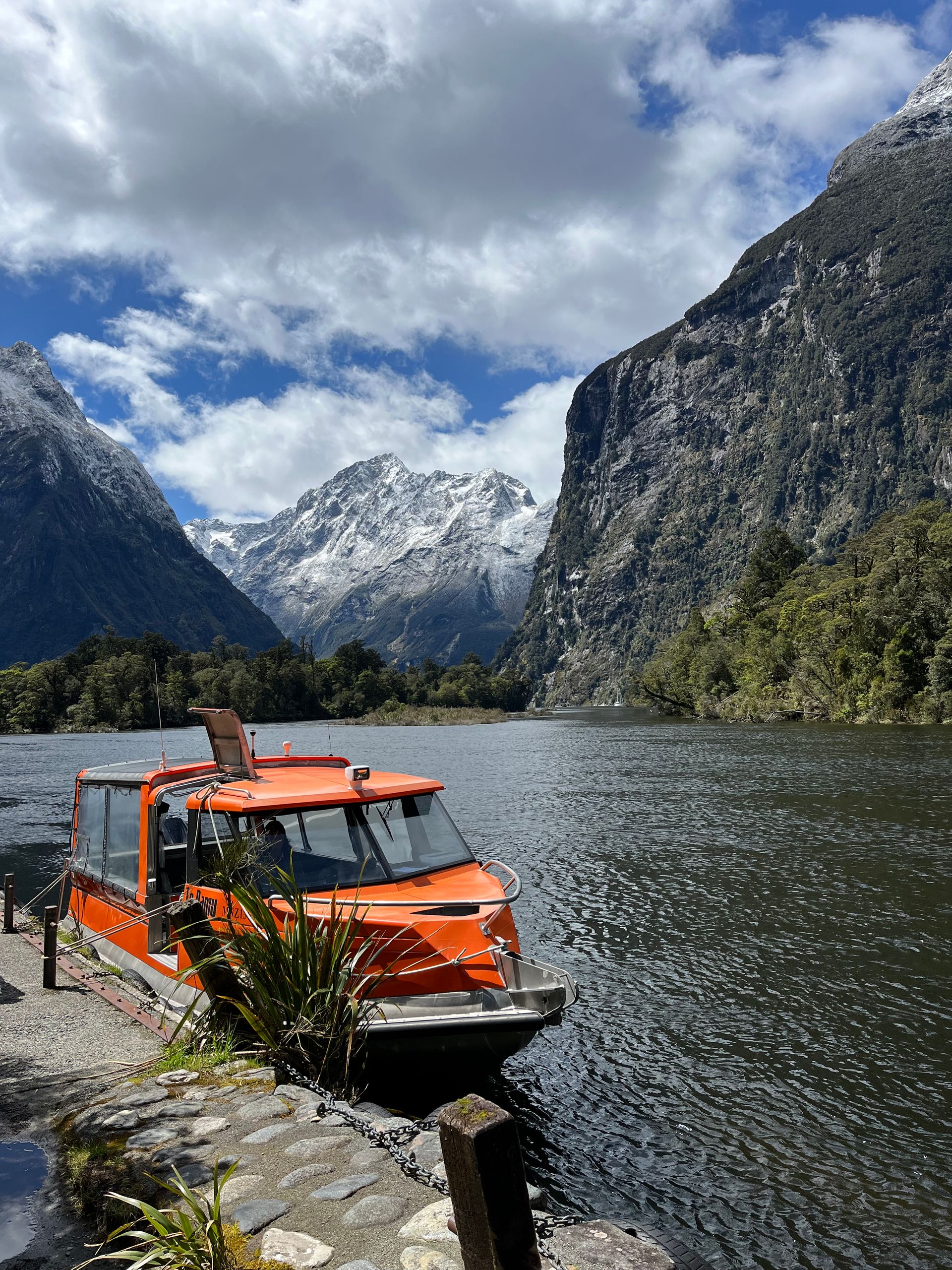
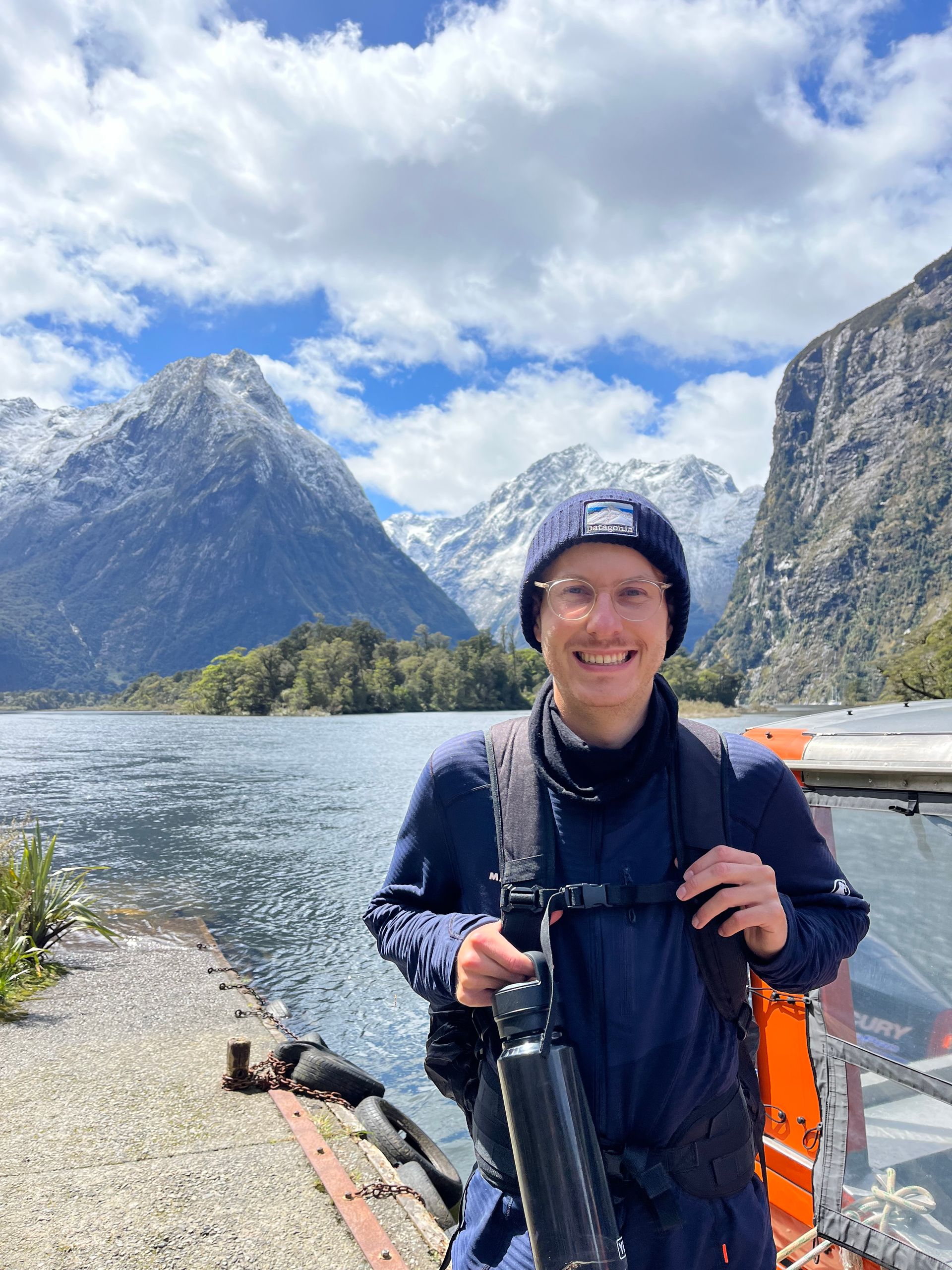
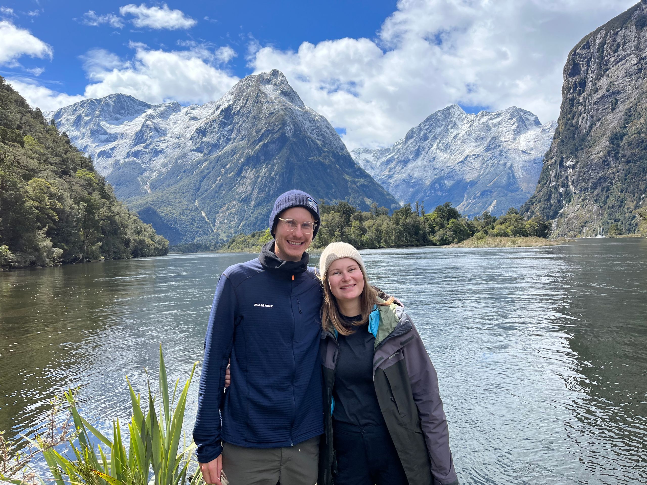
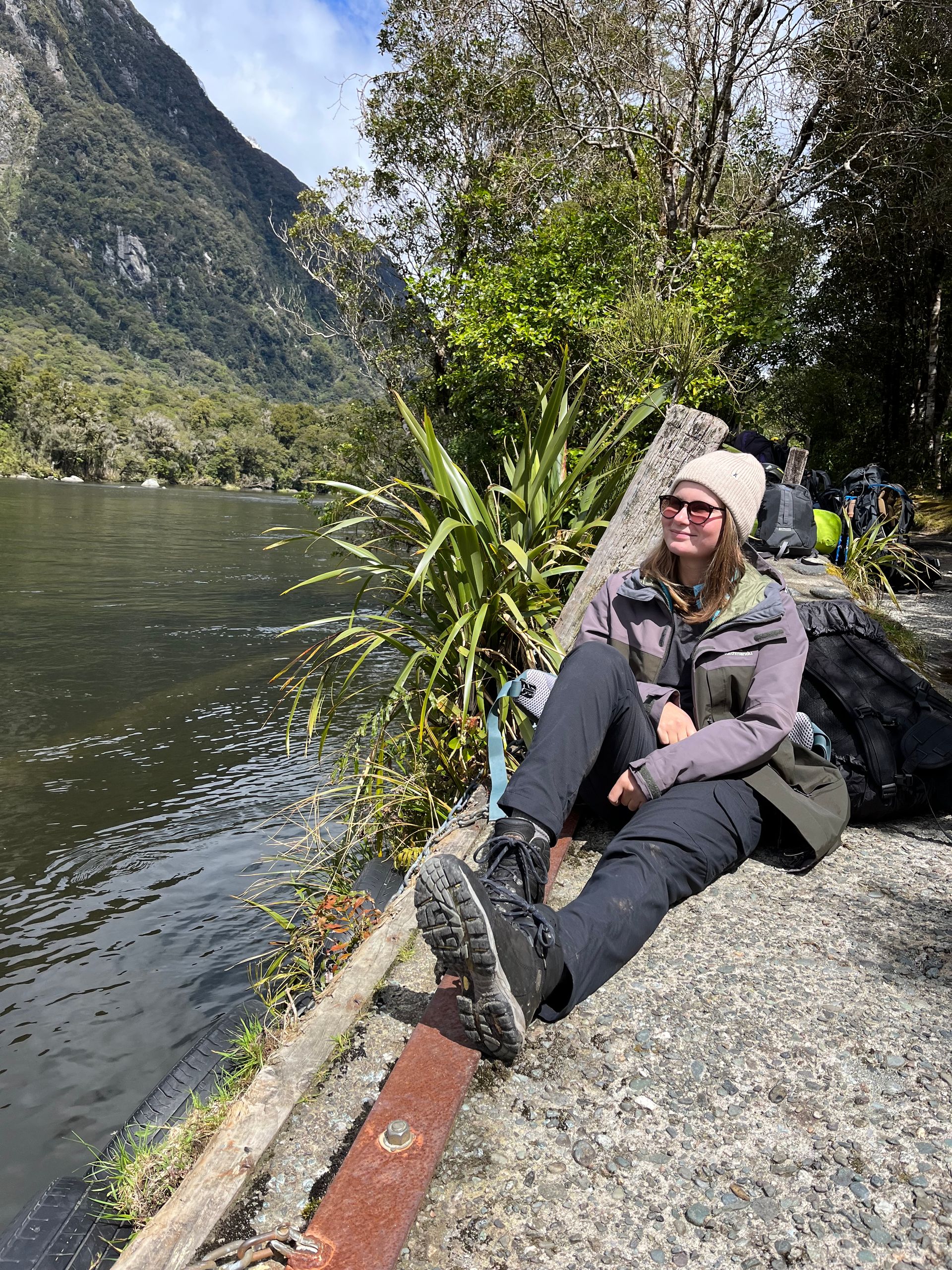
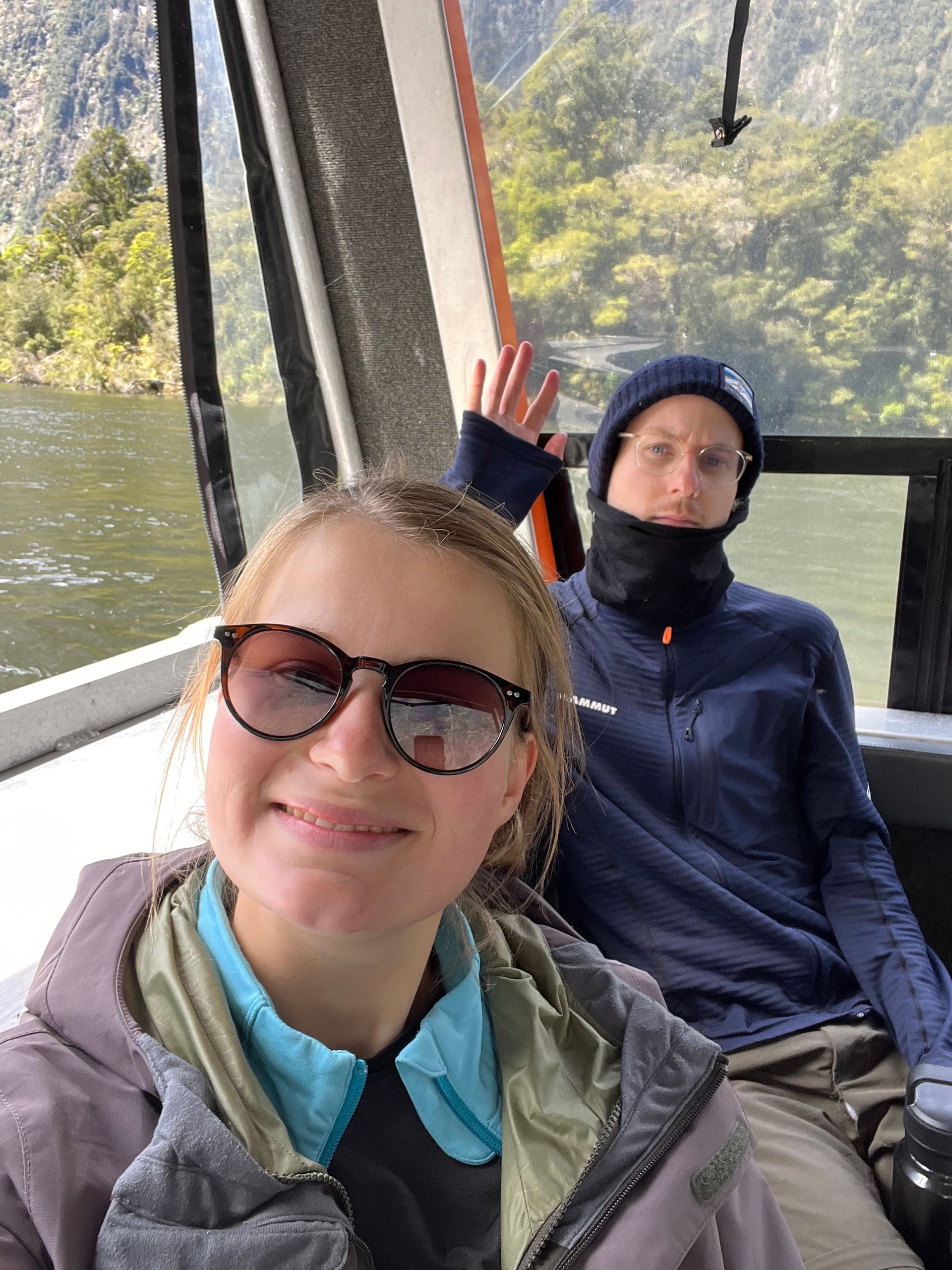
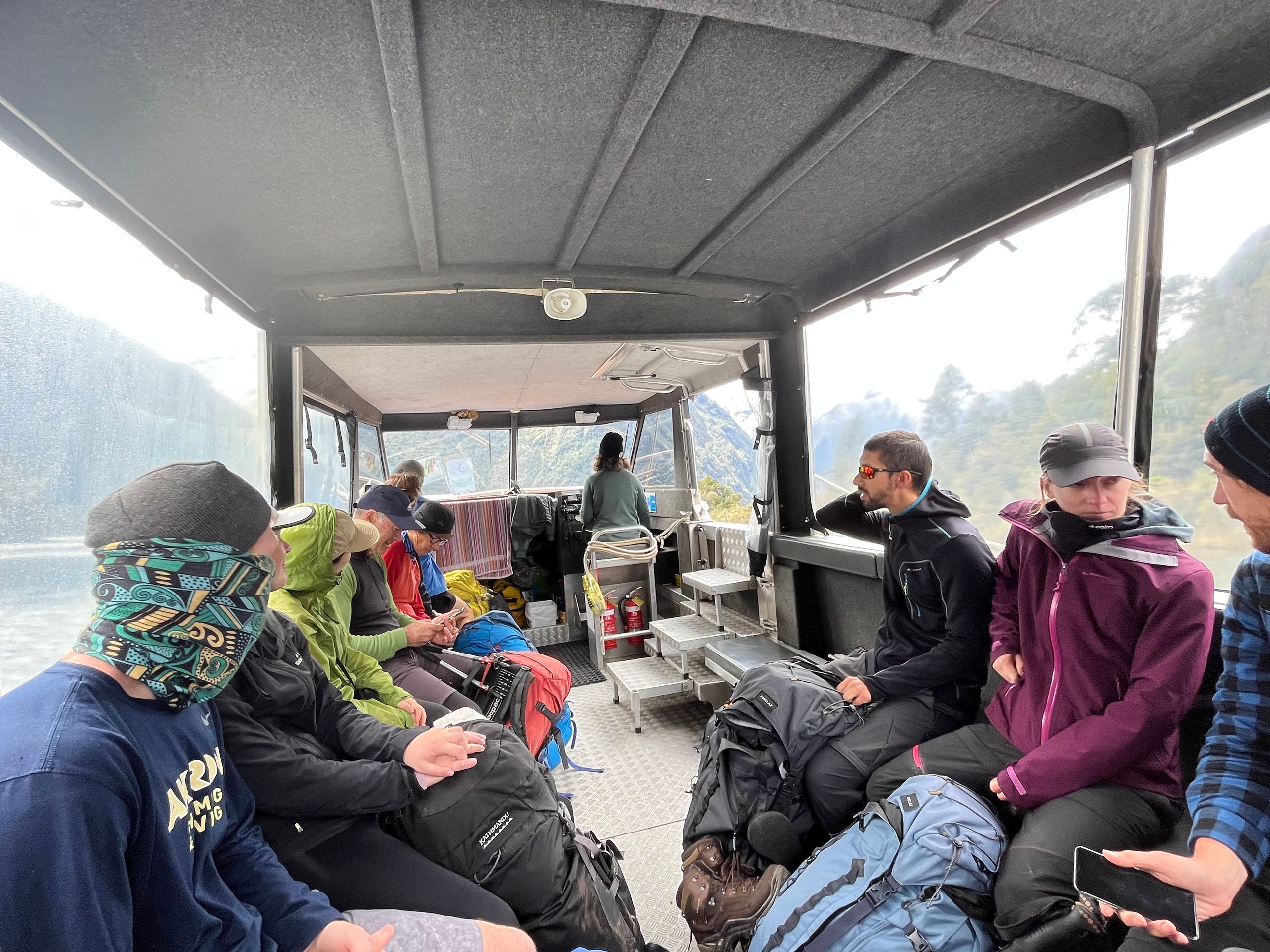
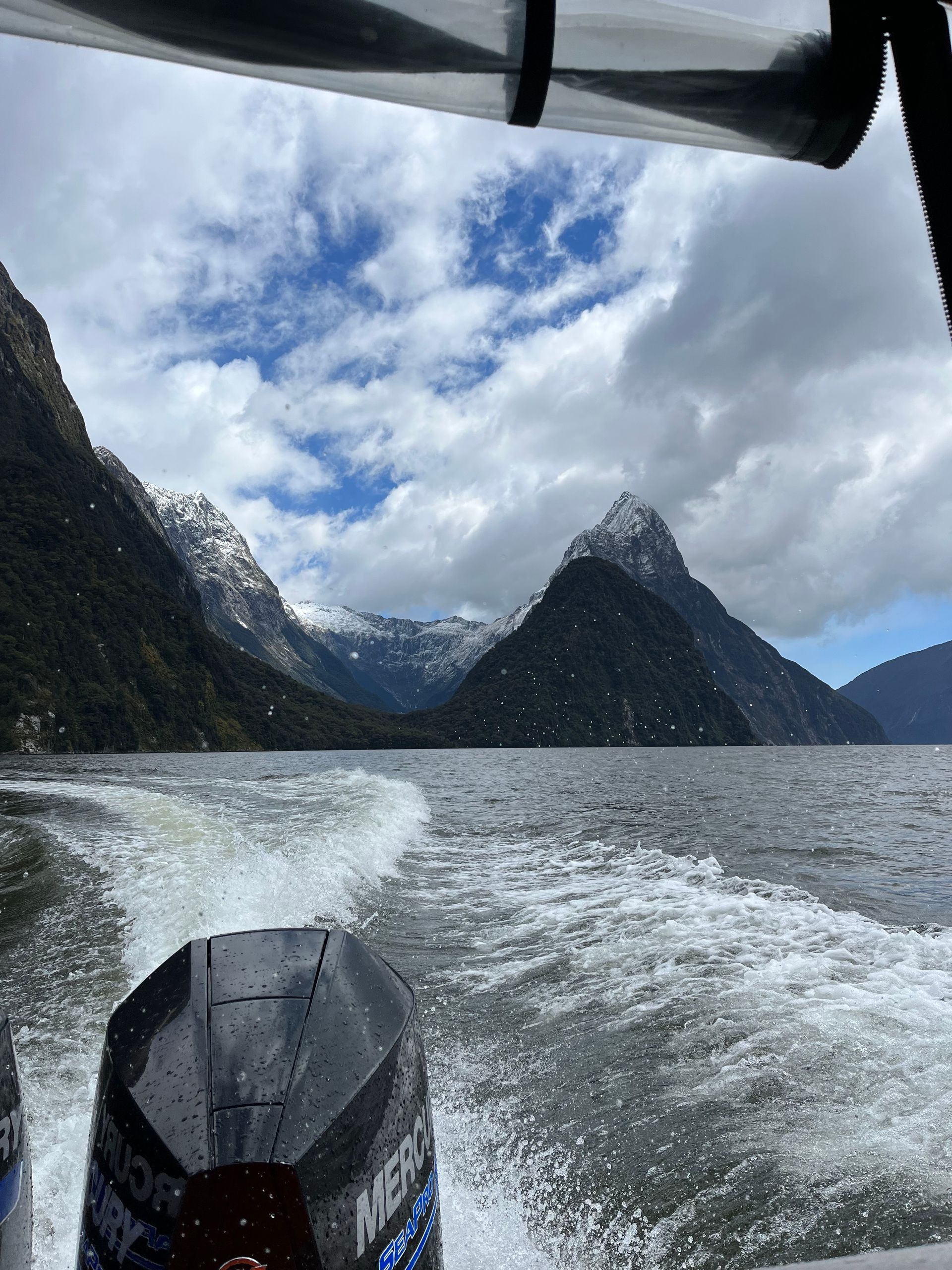
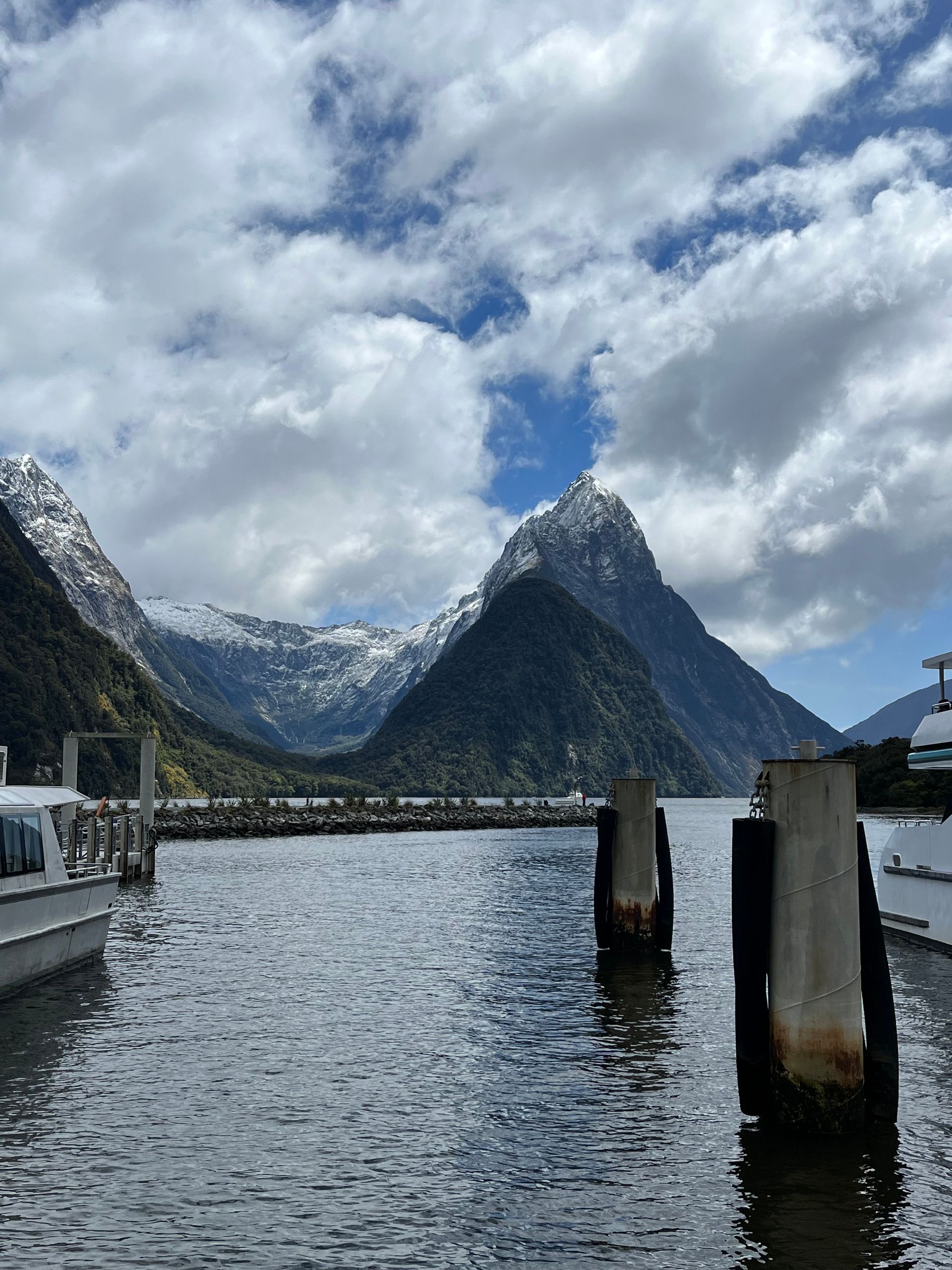
There it was, the last day of our hike. The rain had cleared overnight and a cold but clear winter morning awaited us in spring. The snow remained above 600 meters and created a breathtaking mountain backdrop. The only thing that spoiled the morning were the wet shoes. While the rest of our clothes had dried, we had to put our still wet shoes back on for the next 18 kilometers. But it was worth it, after all the last stage was supposed to be the most beautiful in terms of scenery. Many beautiful and very well-filled waterfalls (at least something that all the rain was good for), hanging bridges, crystal-clear streams paired with lots of sunshine made the time fly by. After four days, 53.5 kilometers (with minor detours and an additional climb of around 63) and 1,960 meters in altitude, we reached Sandfly Point, the end of the Milford Track, happily and without any major injuries - apart from a few blisters on our feet. From here we took the boat to Milford Sound, where a bus was waiting to take us back to Te Anau, where our car and a hot shower were waiting for us. We cannot say whether it is actually the most beautiful hike in the world. What we can say, however, is that we definitely enjoyed our time and are very grateful that we had the opportunity to hike the Milford Track and thus New Zealand's most famous Great Walk at short notice. Despite all the adversities, we were able to experience beautiful nature, meet great people and push ourselves to our limits. What an adventure!
Assine o boletim informativo
Responder

Relatórios de viagem Nova Zelândia