brigitteundmichaelinaustralien
vakantio.de/brigitteundmichaelinaustralien
From Bowen to Townsville, Castle Hill, to Cardwell. Thursday 18.10.2018
Publicados: 18.10.2018

Assine o boletim informativo
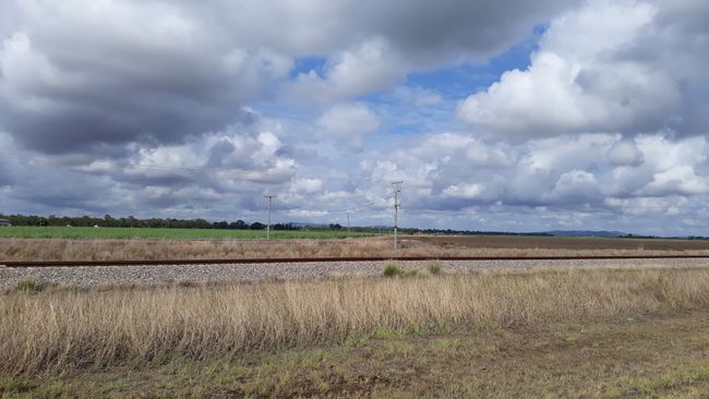
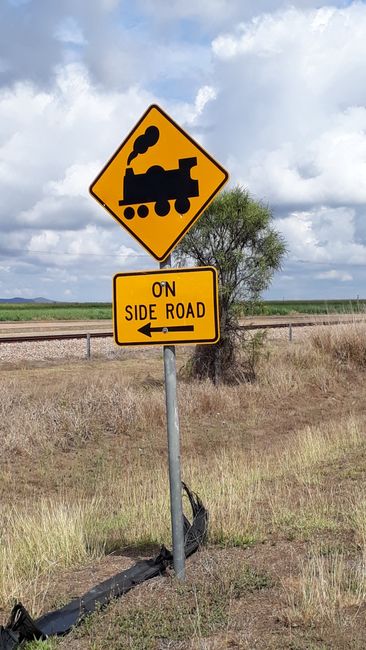
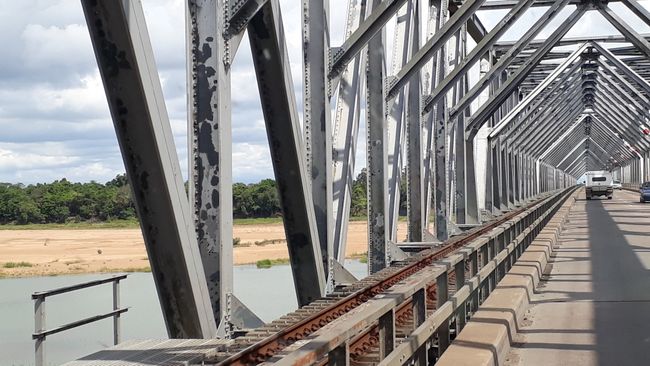
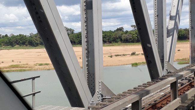
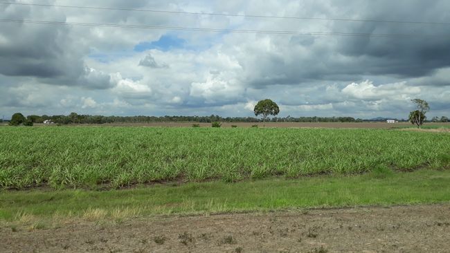
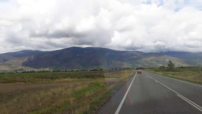
The next morning we continue, first to Townsville, the 5th largest city in Queensland with 152,000 inhabitants. Before that, there is Ayr and Home Hill, separated by the wide Burkedin River, which carries very little water. The rainy season begins in November, when 80% of the dried-up creeks fill up again, often leading to flooding. The 1 km long Burkekin Bridge spans the river. (see photos) Here, irrigation systems are used to grow rice and vegetables. The well-known sugar cane fields, eucalyptus forests (which are getting greener now), and herds of cattle alternate. We drive along the train tracks for a long time. As the track branches off to the Northern Territory in Townsville, there are many trucks on the road. In the hinterland, the Hervey Range mountains and the huge Ross River Reservoir dominate.
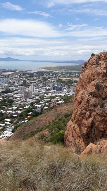
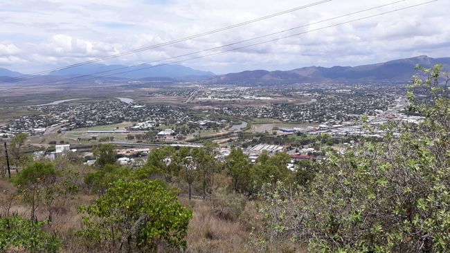
The most striking point in Townsville is the granite hill Castle Hill, which rises steeply to 286 m. From the top, we have an excellent view of the city and Cleveland Bay.
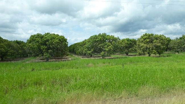
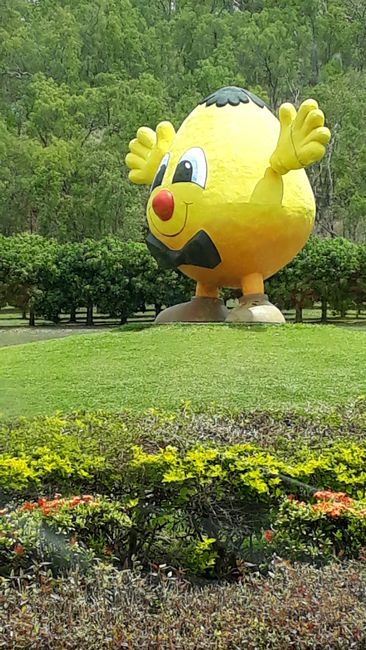
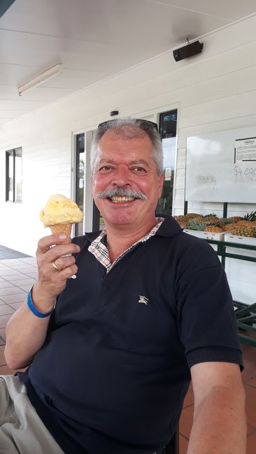
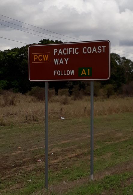
Further north to Cardwell. Now the mango plantations begin, everything is getting greener. Of course, we treat ourselves to a mango ice cream, right on Bruce Highway No. 1. This is always "our route" to Cairns, if we don't take any detours. It is always single lane with occasional passing lanes. For kilometers, we often have the road to ourselves. The small town of Cardwell is located directly on the highway by the sea, and from the viewpoint (photos) in the hinterland, we had a great view of the nearby Hinchinbrook Islands, where excursions are also possible. Today our camper is parked under mango trees in a beautiful spot. At this time, you can always find a spot at the campsites (without reservation).
Assine o boletim informativo
Responder (1)
con
Hallo Brigitte, danke für den Link. Macht es Spaß eure bilder und Beiträge zu lesen.
gruß Conny
Relatórios de viagem Austrália
