14.1.2018: A single day for the must-sees of the Golden Bay
ਪ੍ਰਕਾਸ਼ਿਤ: 18.01.2018


ਨਿਊਜ਼ਲੈਟਰ ਦੀ ਗਾਹਕੀ ਲਓ
At 7:30 am, I leave my cozy warm bed because today there is a lot on the agenda. The weather forecast is exceptionally good - I must take advantage of it.
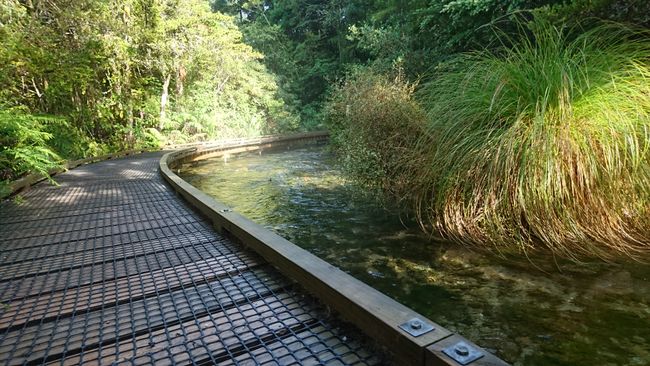
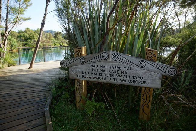
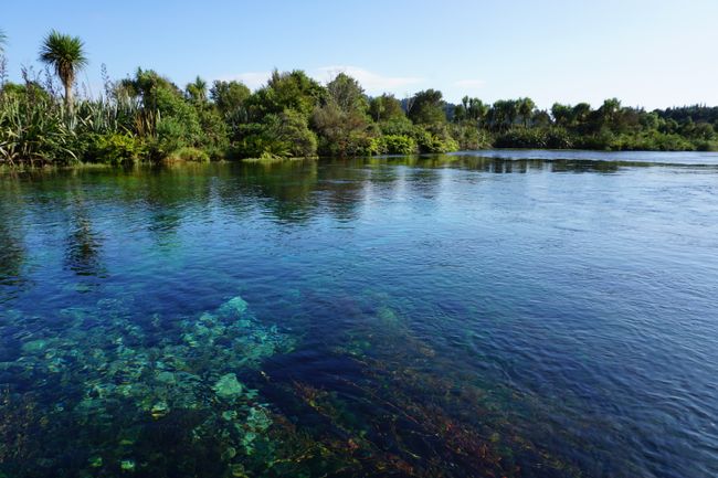
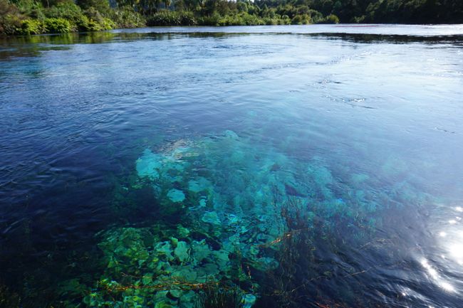
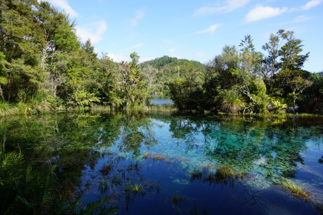
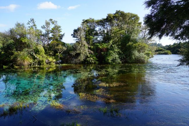
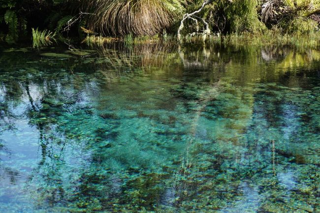
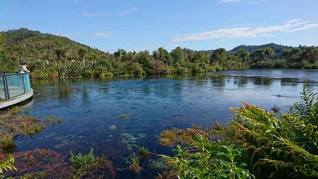
First, I head to the Pupu Springs, which (according to Lonely Planet) are the largest freshwater springs in Australia and Oceania, located just behind Takaka. So early in the morning, the parking lot is still empty. I decide to read the information boards later and start walking. At the beginning, the riverbed the trail follows is not very spectacular, but you can immediately see that the water is very clean. The big wow comes into sight after a few minutes. Turquoise shimmering, crystal clear water that allows you to see to the bottom. The Pupu Springs boast of being one of the clearest waters in the world and being able to maintain high water quality for 22 years. Until 2007, diving and swimming were allowed here; since then, all water contact is prohibited, and the Pupu Springs can only be admired on a short loop walk.
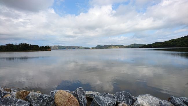
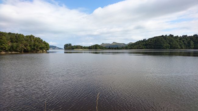
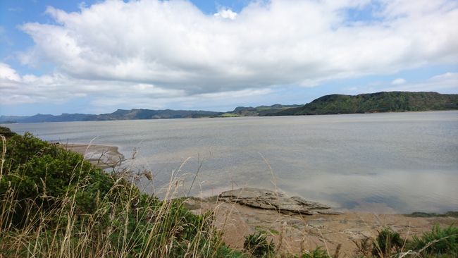
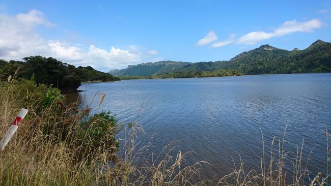
Next, I go to Whanganui Inlet. A supposedly well-maintained gravel road, about 40 km long, leads through rainforest and along the shore of the Whanganui Inlet to Anatori. Two out of three of my guidebooks recommend taking the detour, although I'm pretty sure one author has copied some of her ideas from the other author, especially since she quotes him as a source several times. Unfortunately, I can't fully enjoy the indeed fantastic view because the narrow gravel road requires all of my attention. How I wish I could be a passenger right now...
On the long bridges, only one car can fit at a time, so I first check if anyone is already on them and then swiftly cross. I don't share the author's opinion that because of the low traffic, you can safely stop in the middle of the road for photos. Today, at least, there is relatively heavy traffic, but that might just be because it's the weekend. I turn around halfway because at the snail's pace, I would still need an hour to reach the destination, and unfortunately, the day only has 24 hours. I miss out on some beautiful views, but it's enough for a first impression. I quickly stop at the junction to the Knuckle Hill Lookout Track and sprint the 600 m to the parking lot so as not to unnecessarily torture my vehicle on the even rougher road (in this regard, Cory didn't have it so bad with me). From here, I walk a few meters to the second curve, where the third one is already waiting - the trail doesn't allow for a far view to estimate if I should invest a few more minutes. Trees block almost every view, so I made the detour for nothing. Unfortunately, I don't have time for the whole track, which looks very promising based on the photos. The original plan for today was actually divided into two days.
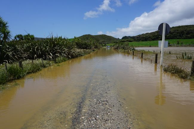
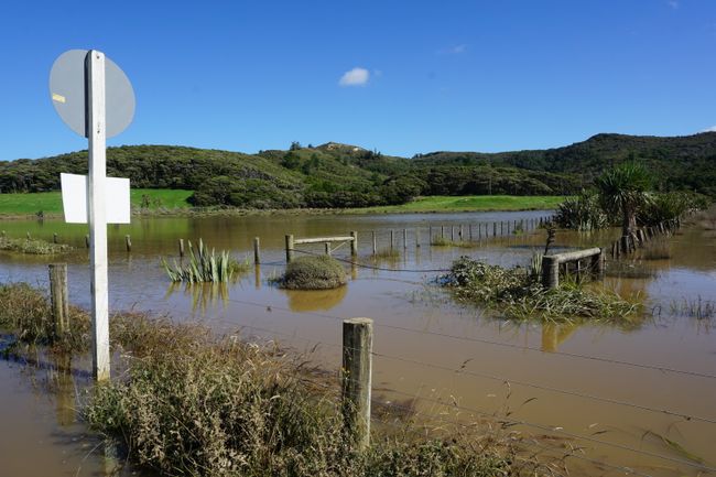
Back on the main road, it's only 15 km to Wharariki Beach, but suddenly a 'Road closed' sign prevents further driving. The road to Wharariki Beach is closed due to flooding. The last kilometer to the official parking lot can only be covered on foot. The water is actually knee-high, but that doesn't stop a few brave souls from attempting to drive through.
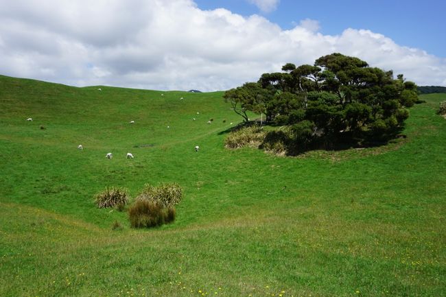
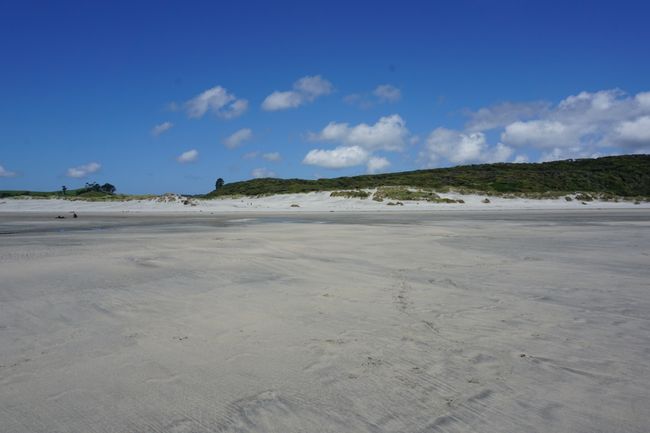
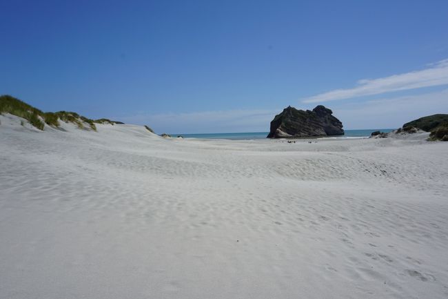
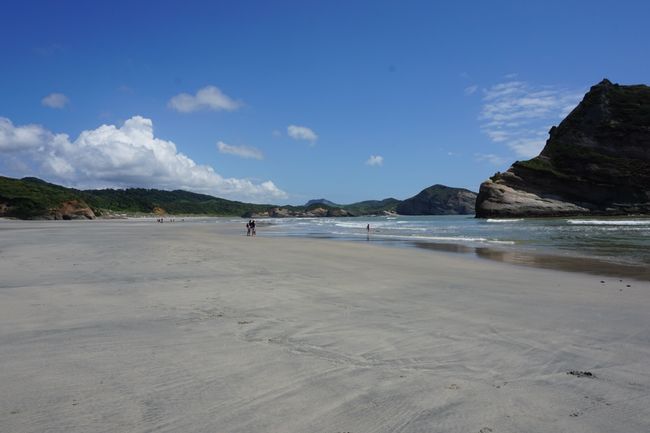
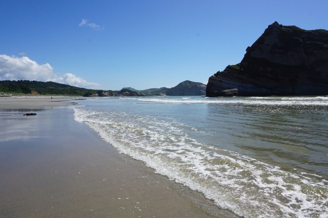
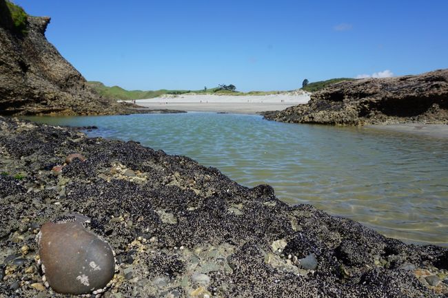
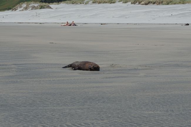
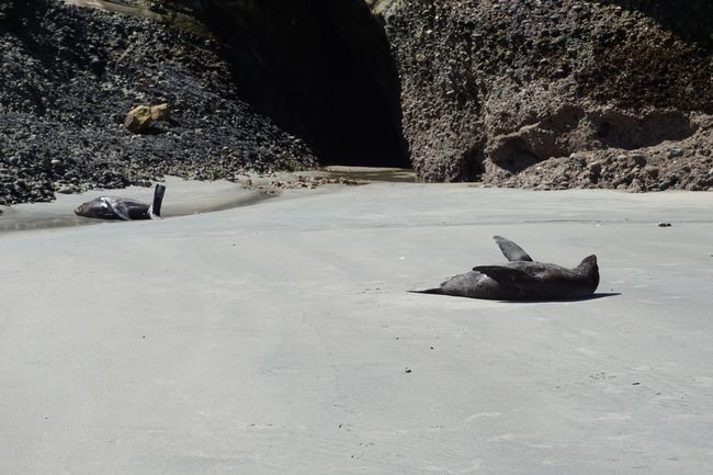
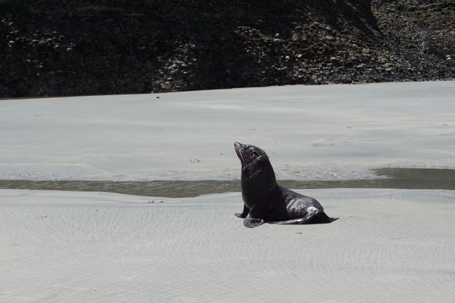
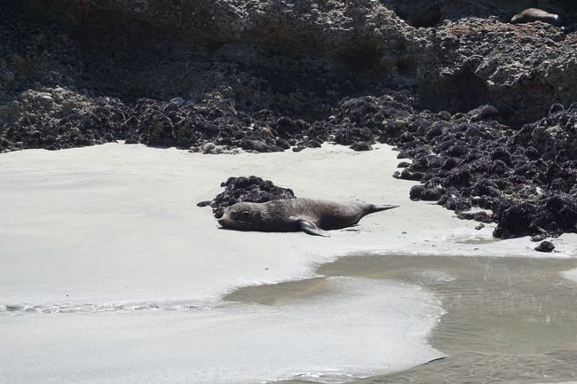
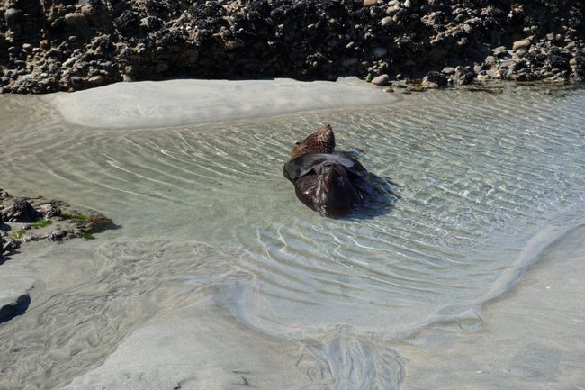
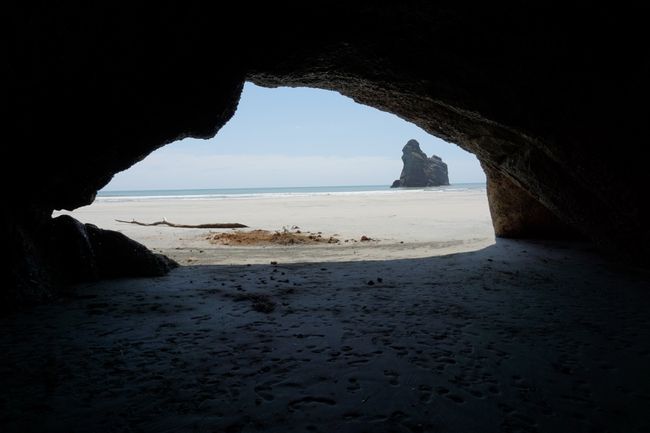
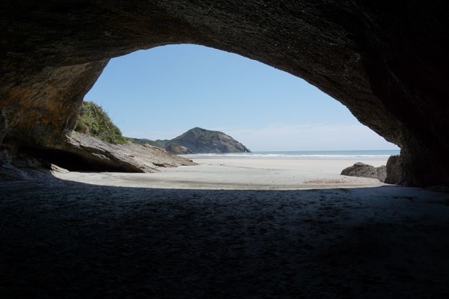
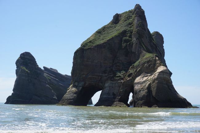
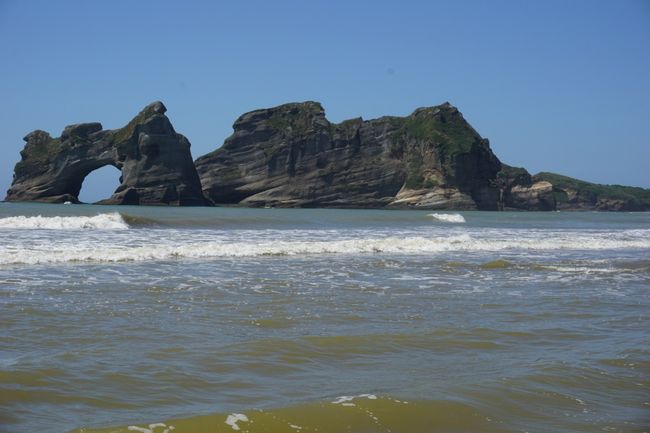
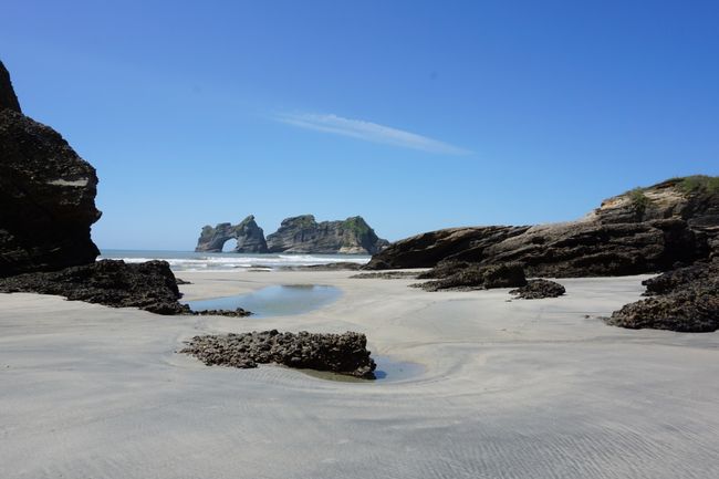
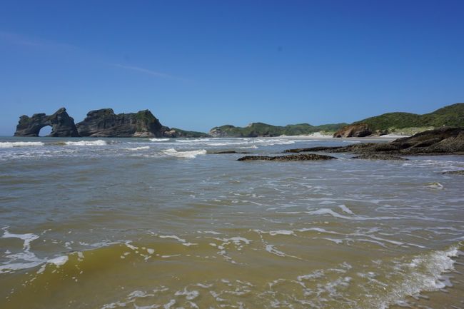
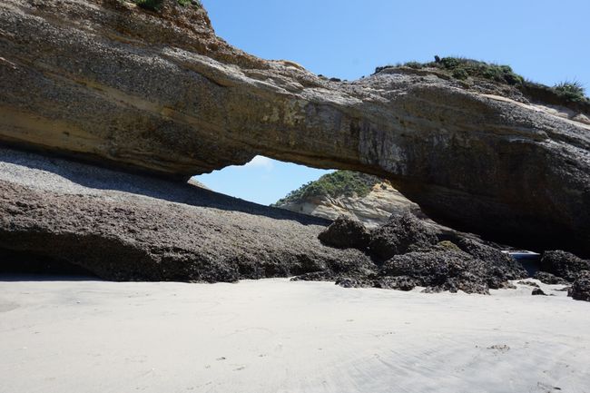
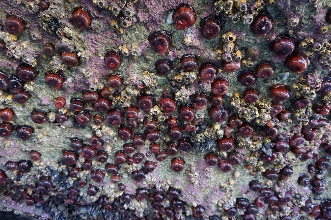
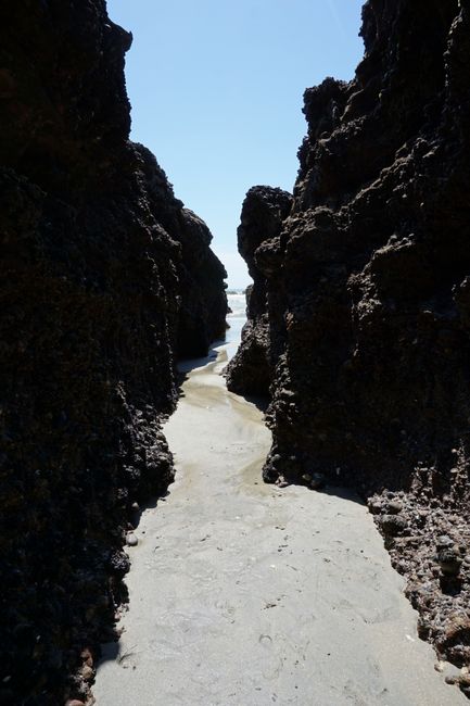
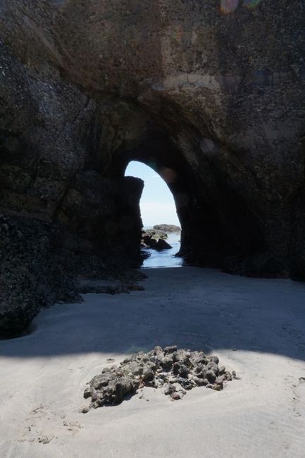
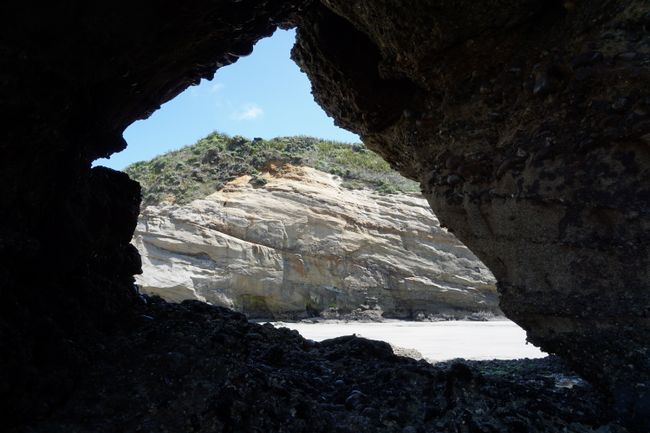
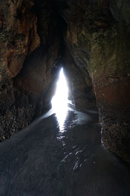
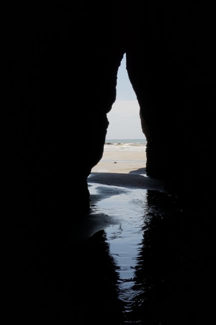
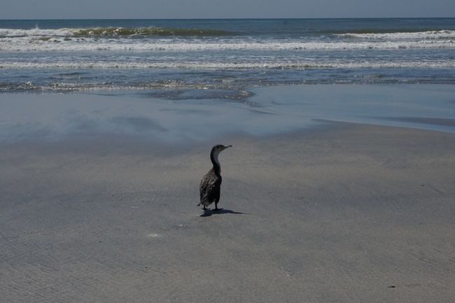
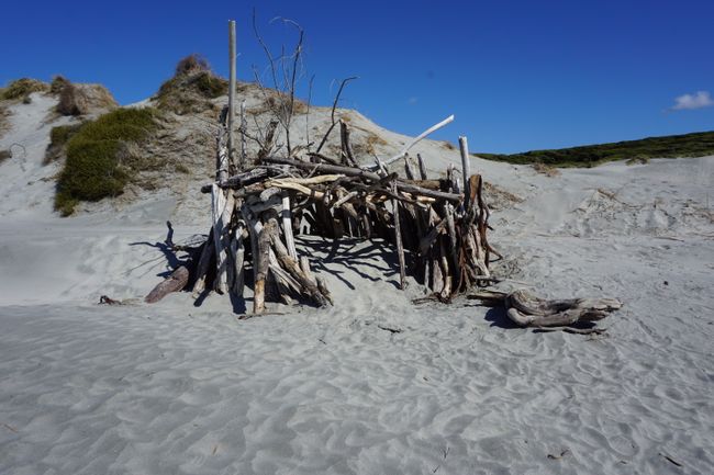
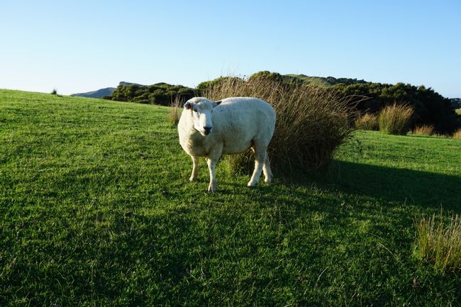
From the parking lot, it takes another 20 minutes to walk across pastureland, past peacefully grazing sheep, until your feet sink into the high, white sand dunes. Wharariki Beach exudes a Caribbean flair, and for those who can resist, there are numerous sea caves, rock arches, shells for dinner, and a colony of seals, including playfully splashing pups. One particularly cool seal takes a run-up and uses a small water flow as a slide, casually surfing into the sea. Wharariki Beach is worth taking some time for, and the further you walk, the fewer footprints you'll find in the sand. After lunch and the obligatory relaxation on the beach, as I'm about to leave, my three German roommates and Bob, the good soul of the hostel, join me. So I stay a little longer than planned and visit the seal nursery with them again. We skip the exploration of the cave, which Bob raves about, due to the stinky soup of seaweed, driftwood, and who knows what else reaching up to the calves. But now I really have to go.
On the way back to the car, the water is no longer as high on the road, where, far from the sea, a small fish is actually swimming towards me! Where did you come from?!
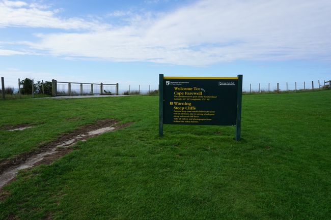
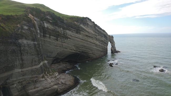
Cape Farewell, the northernmost point of the South Island, is next on my list. The parking lot is only 500 m from where I currently am, but I can feel the tiredness in my bones and prefer to drive. The viewpoint is reached in just 3 minutes walk.
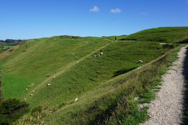
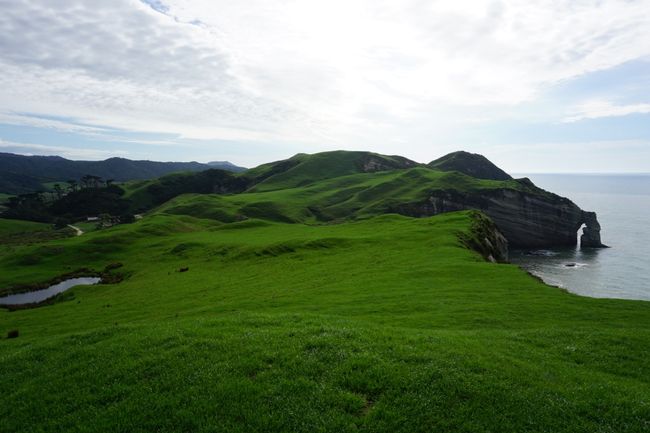
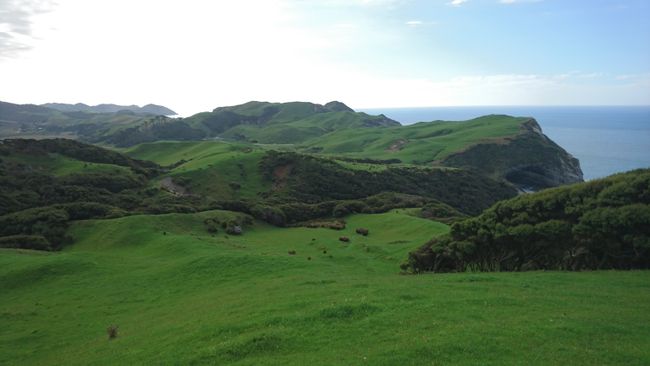
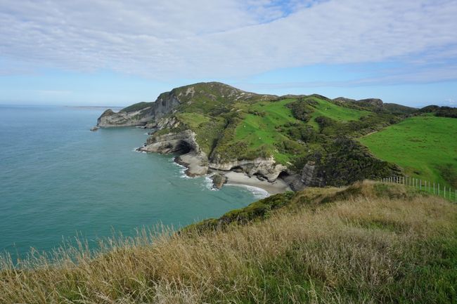
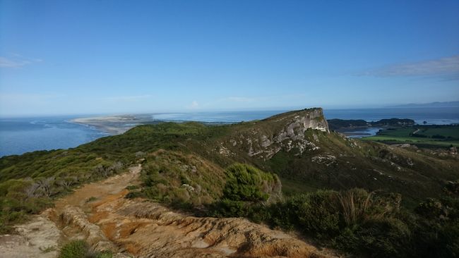
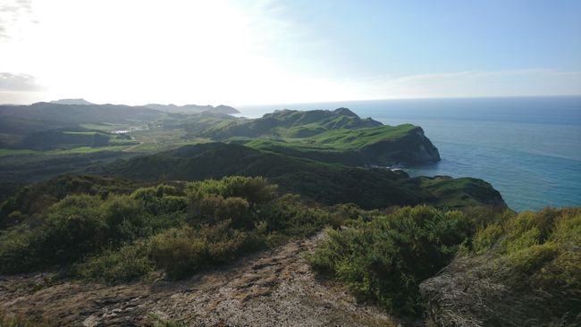
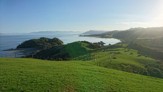
From here, an unmarked track, only marked with orange wooden poles, winds along the steep cliffs over the soft hills glowing in lush green. The hiker is accompanied almost throughout by great coastal and pastureland panoramas. At times, the orange markers are very scarce, and you have to make an effort not to veer off the trail. It's a change for the spoiled New Zealand travelers, as hiking trails are usually very well marked and detailed. I march ahead in quick steps, cross two pasture fences, walk a short distance through the forest until the landscape almost gives way to subalpine vegetation. I continue over loose rocks until I reach the lighthouse. The Pillar Point Lighthouse itself is the most unspectacular in the whole world, but if you walk a little further, thanks to the low bush vegetation, you get an unrestricted view of the coastline and Farewell Spit for miles. Fantastic! It's now 7:00 pm. Normally, I would start preparing my dinner in the hostel kitchen. But the late hour makes me hurry. Instead of the indicated 60 minutes, I make the return trip in just 25 minutes.
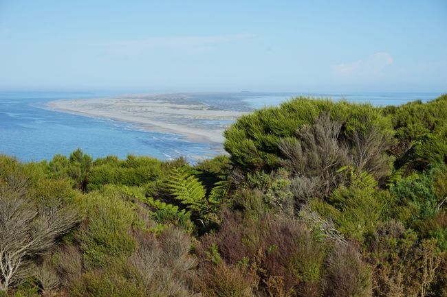
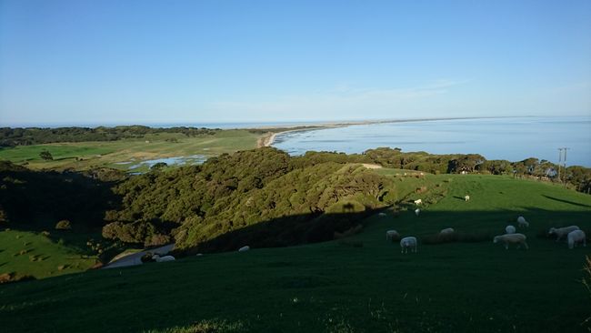
And the day is still not over. But luckily, Farewell Spit is on the way, and it's only a five-minute walk across a sheep pasture to the lookout from the parking lot. Contrary to the opinion of my hostel roommate, who said that Farewell Spit can be left out, I am thrilled by the view that awaits me. A 25 km long, narrow sand dune extends into the sea like a giant beak. You can only enter the nature reserve as part of a guided tour.
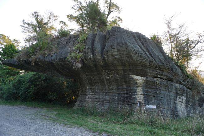
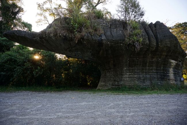
At the parking lot, I eat the remaining two and a half sausages with sauce. It's a good thing that I cooked a little extra, so it was enough for dinner. I actually just want to go home now, but I have to make a little detour. So I turn right from the highway on the way back and, after 10 km, reach my truly last item on the agenda: the Devil's Boot. You can see why it's called that by looking at the photos.
At 9:00 pm, later than ever before, I arrive at the hostel, completely exhausted, where they were already worried about me. I quickly gobble down a yogurt, shower, wash my hair, blow-dry it in the middle of the hallway because someone is already sleeping in my room, and finally, finally lie down.
ਨਿਊਜ਼ਲੈਟਰ ਦੀ ਗਾਹਕੀ ਲਓ
ਜਵਾਬ (1)
Matthias
Ein langer Tag bei dem es viel schönes zu sehen gibt und es genießen und ruhig angehen sollte. Aber so kennen wir dich liebe Sylvi 😉
ਯਾਤਰਾ ਰਿਪੋਰਟਾਂ ਨਿਊਜ਼ੀਲੈਂਡ

