Puerto Williams - Off to Adventureland!
ਪ੍ਰਕਾਸ਼ਿਤ: 05.03.2017


ਨਿਊਜ਼ਲੈਟਰ ਦੀ ਗਾਹਕੀ ਲਓ
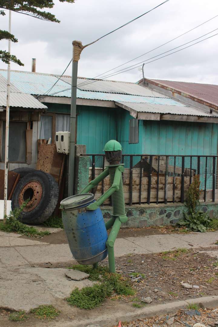
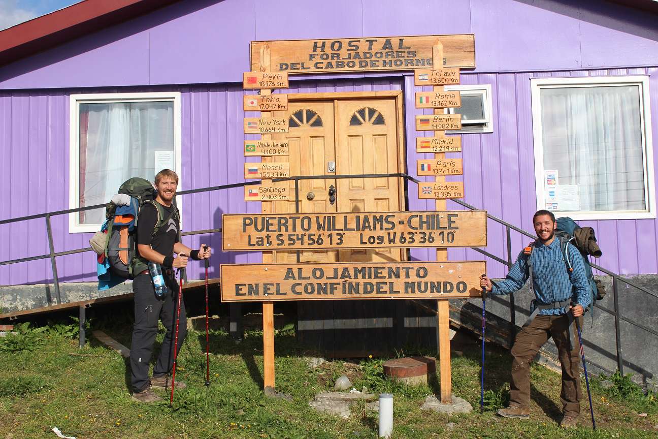
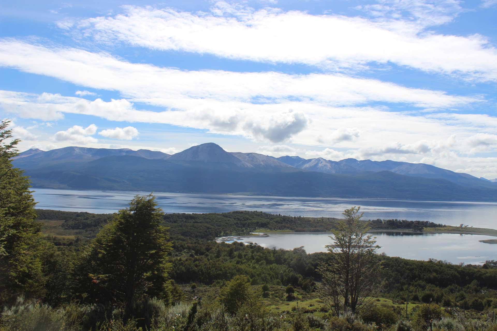
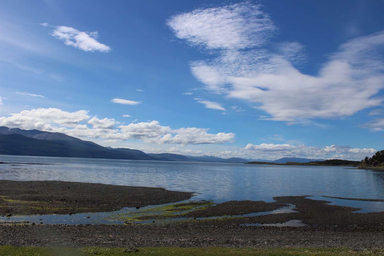
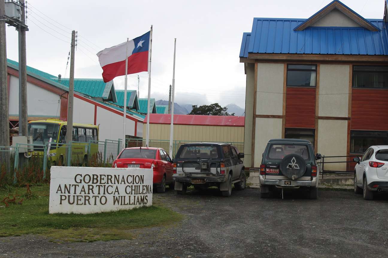
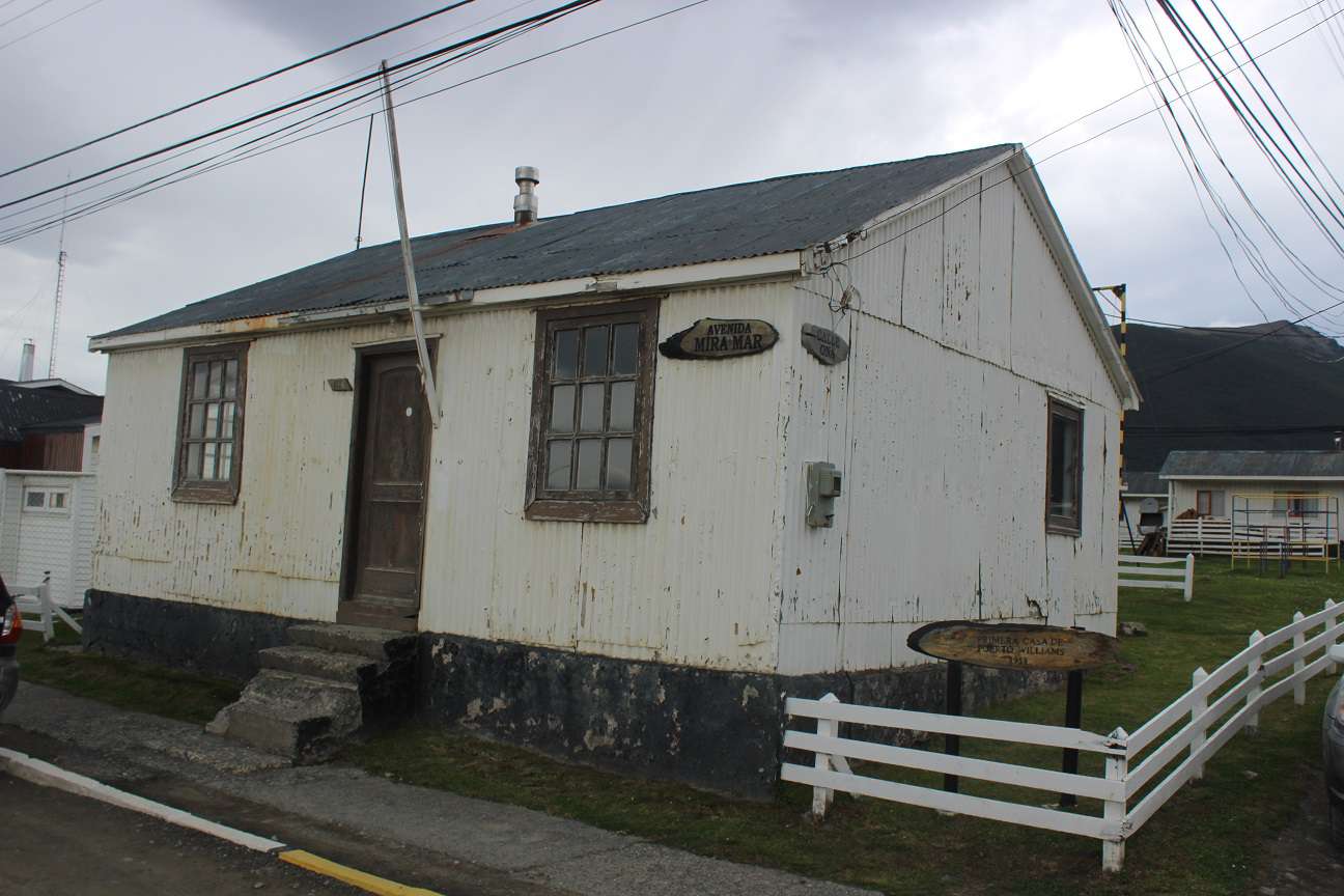
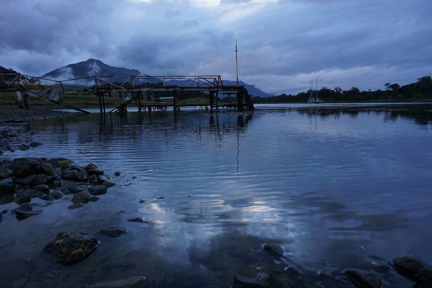
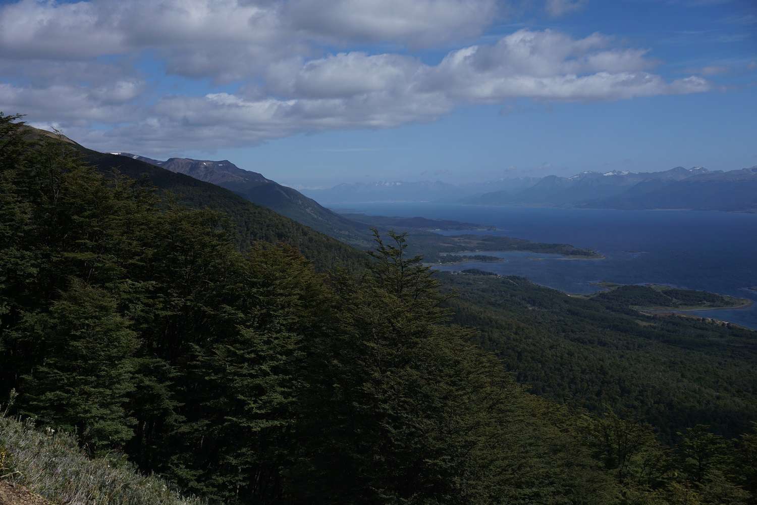
In Punta Arenas, we meet Tilman again, a German guy I briefly met at breakfast in Santiago. He gave us the idea to go to Puerto Williams to hike the Circuit Dientes de Navarino. After a quick research, it turned out to be exactly what we were looking for! A supposedly adventurous trek on Chile's southernmost inhabited island, just before Cape Horn. So, after a briefing, we take the plane to Puerto Williams. Luckily, we get a stunning view of the impressive nature of Tierra del Fuego from the airplane. Once we arrive in Puerto Williams, we quickly realize that everything is a bit different at the end of the world. We get off the plane and our luggage gets loaded onto a cart, from which everyone can take their own luggage. The airport gate is wide open, so anyone can come and go as they please. Everything is calm and relaxed. Suddenly, a surprise; our hostel owner even picks us up. We only have to wait about 20 minutes because the first group going to the hostel is already full. A short time later, we check in and when we ask where the supermarket is, we are promptly invited back into his van and driven to the minimarket. We quickly buy everything we need for the hike, and at the checkout counter, the surprise, our hostel owner is also the owner of the store. In the afternoon, I take a little walk through the town. Puerto Williams is a leisurely place at the end of the world. It is the southernmost city in the world and is already part of the Chilean Antarctic Territory. There are about 2,000 people living here, of which about 1,000 are Chilean Navy personnel. The rest of the population relies on tourism or fishing. You can find wild horses standing in front yards, all dogs roam freely, and the people are super friendly. Just from the town, you can already see the rugged nature all around. Through the Beagle Channel, you can look at the mountains around Ushuaia and the island of Tierra del Fuego. I feel very comfortable here.
Day 1 of the hike:
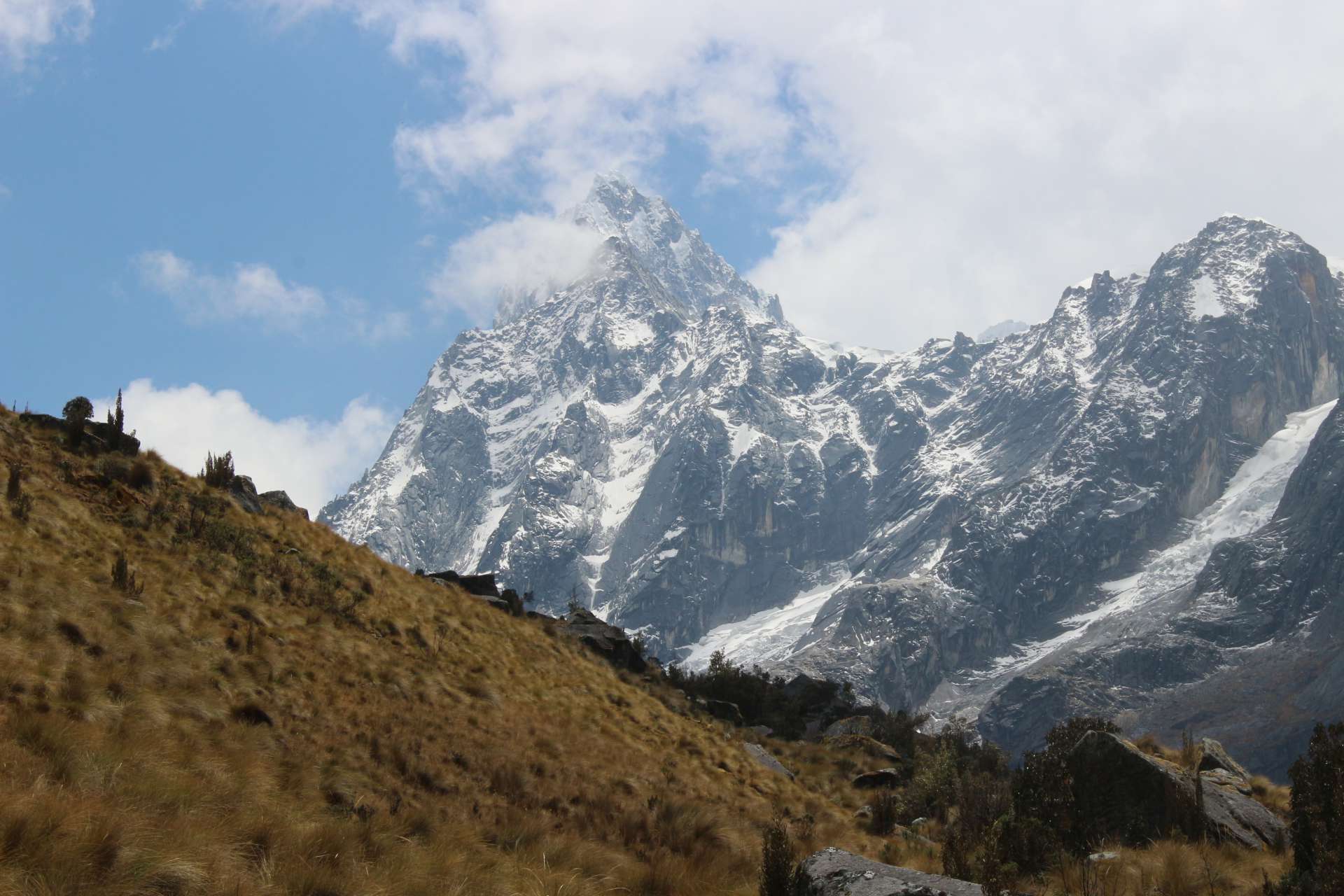
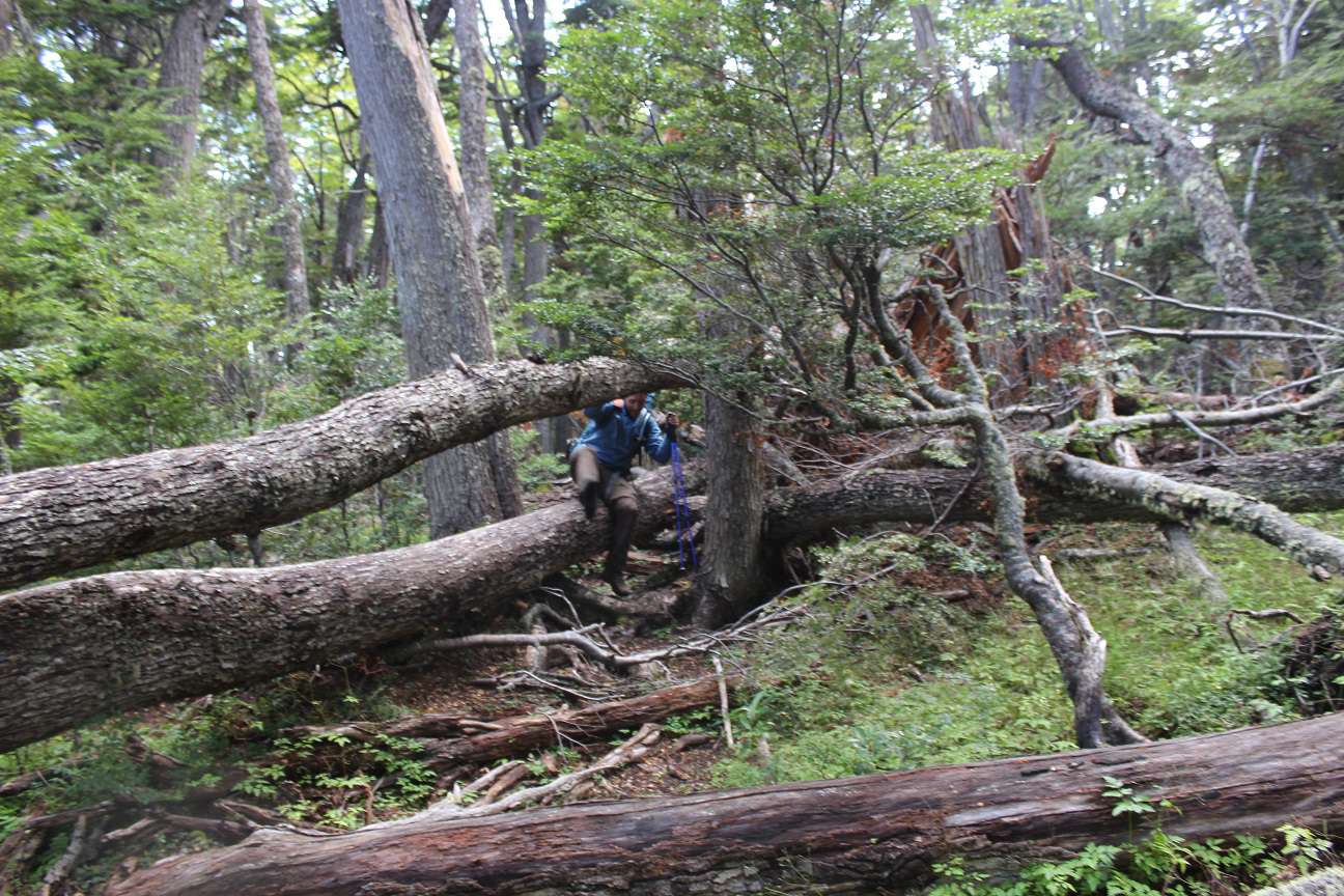
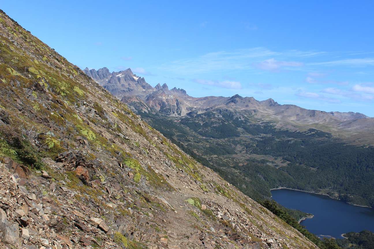
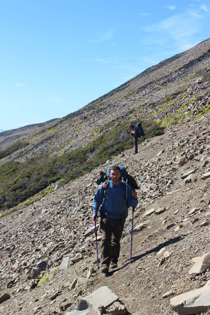
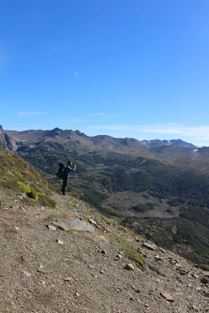
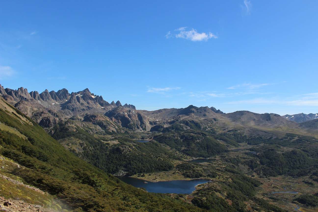
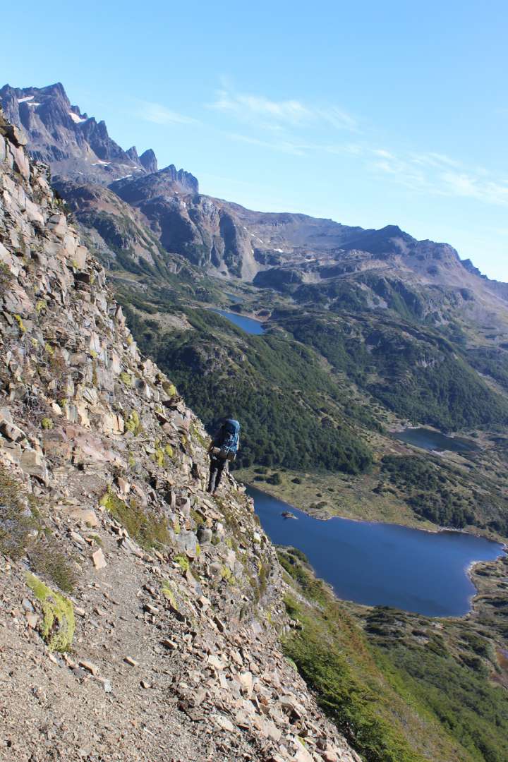
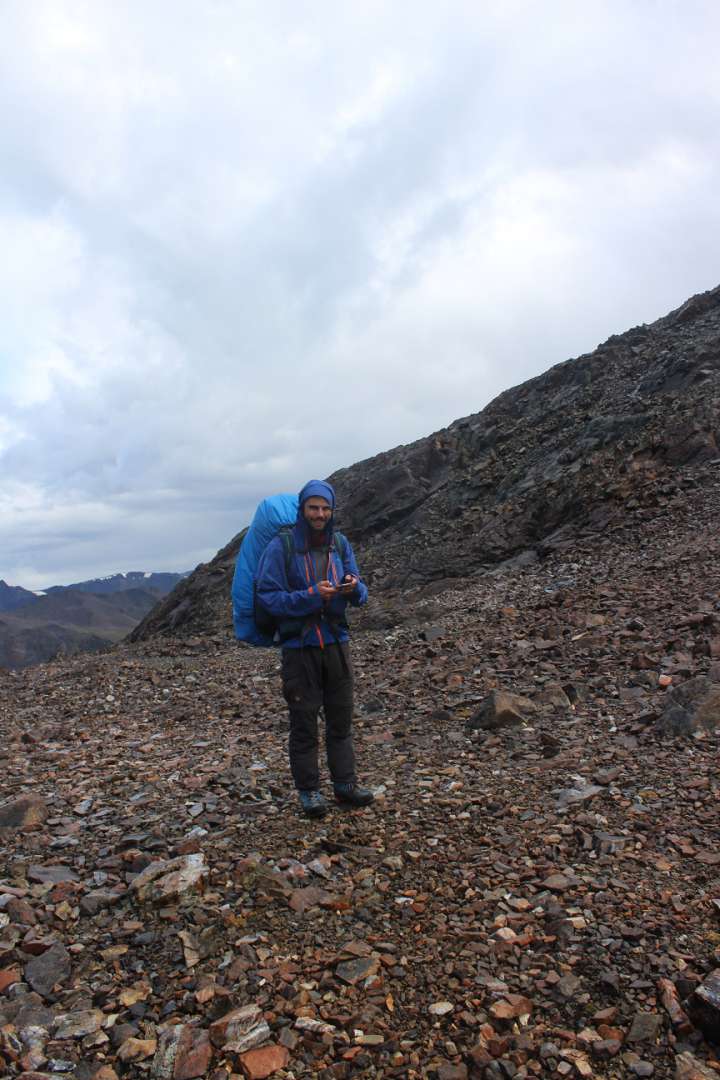
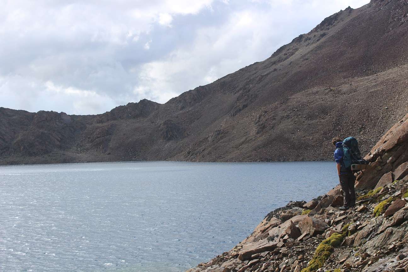
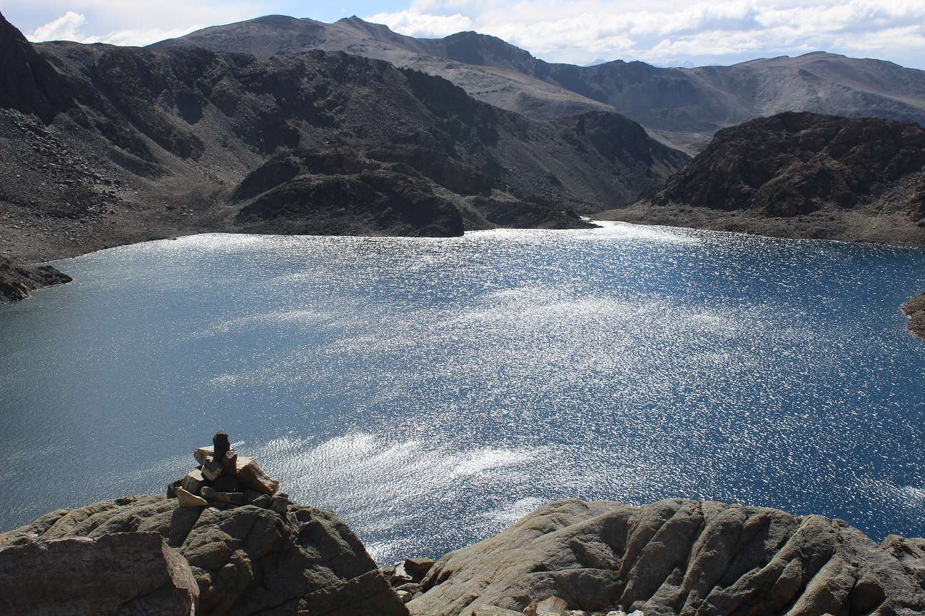
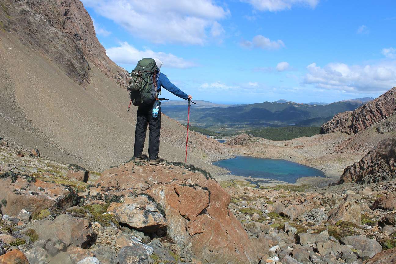
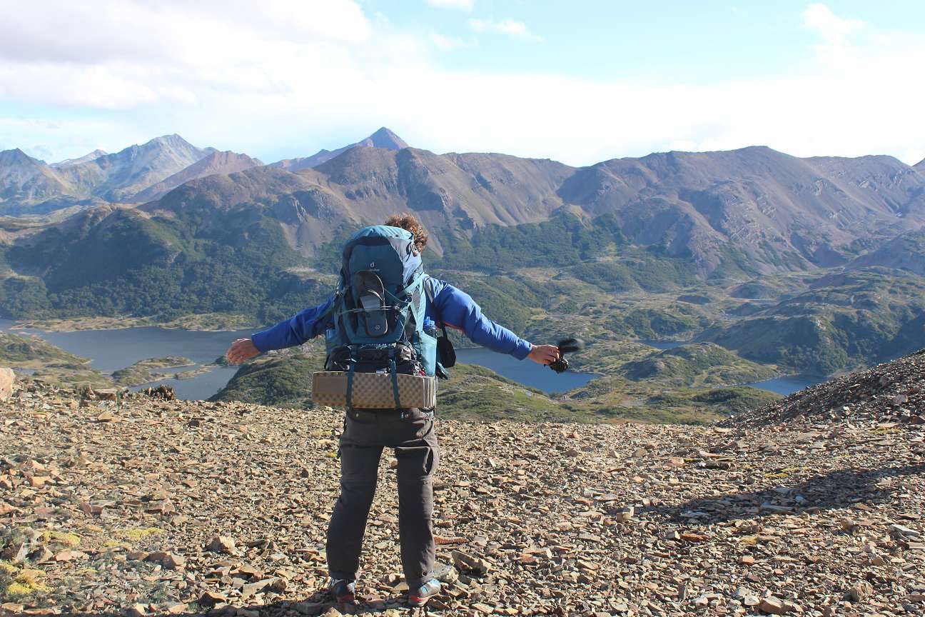
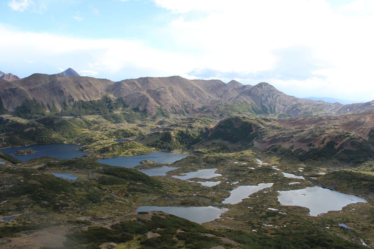
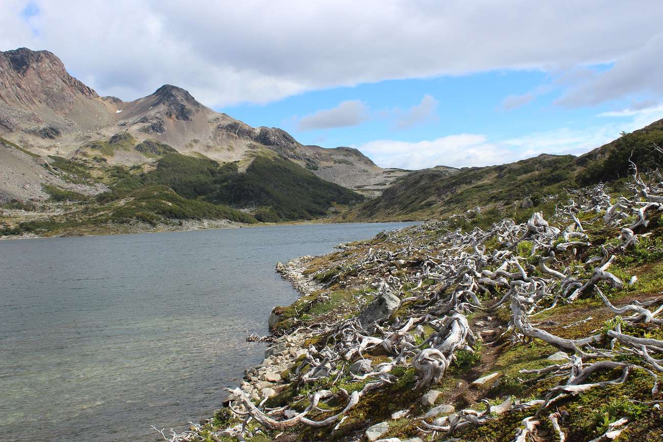
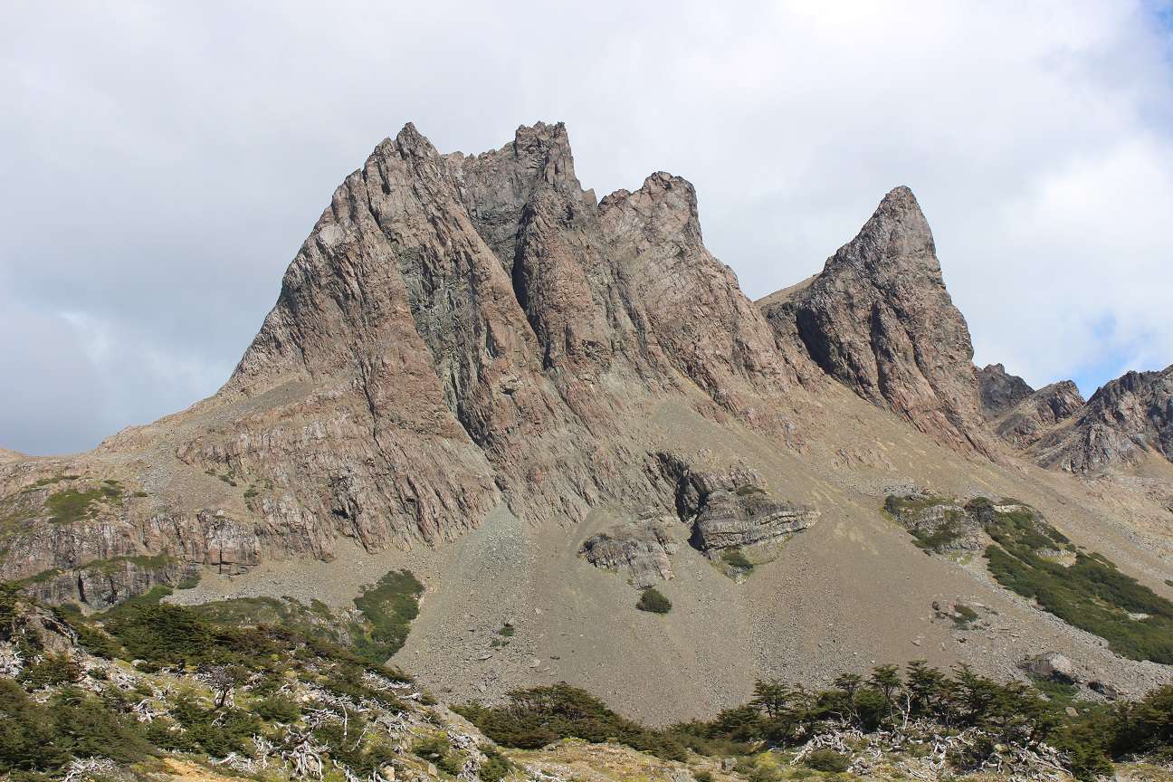
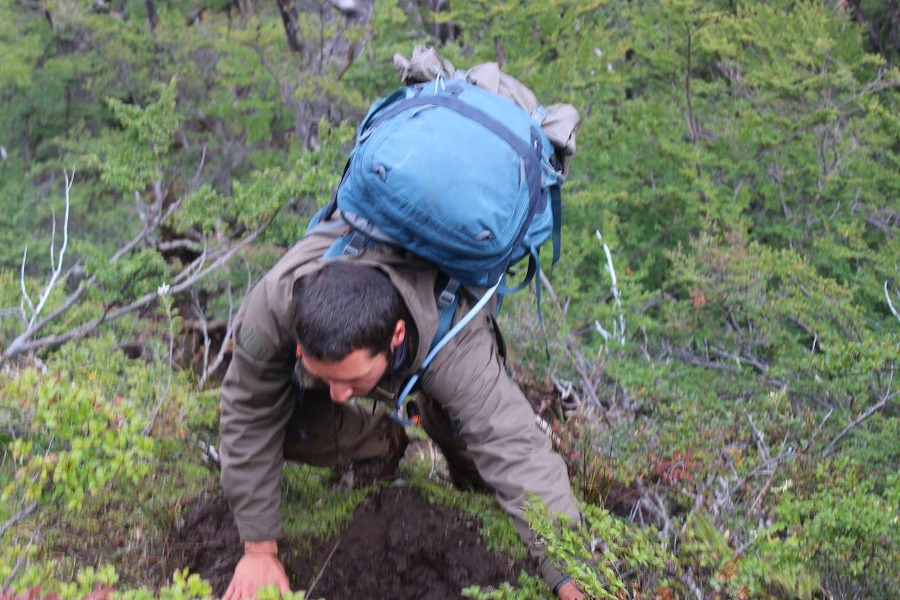
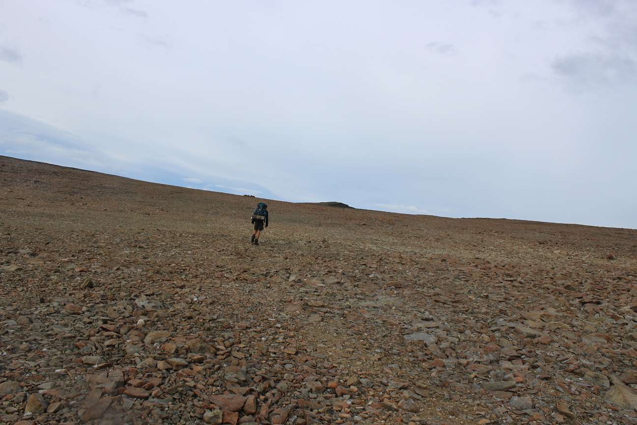
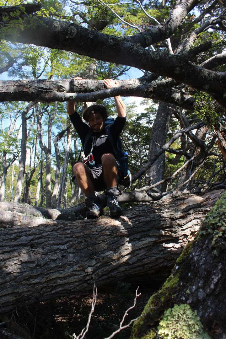
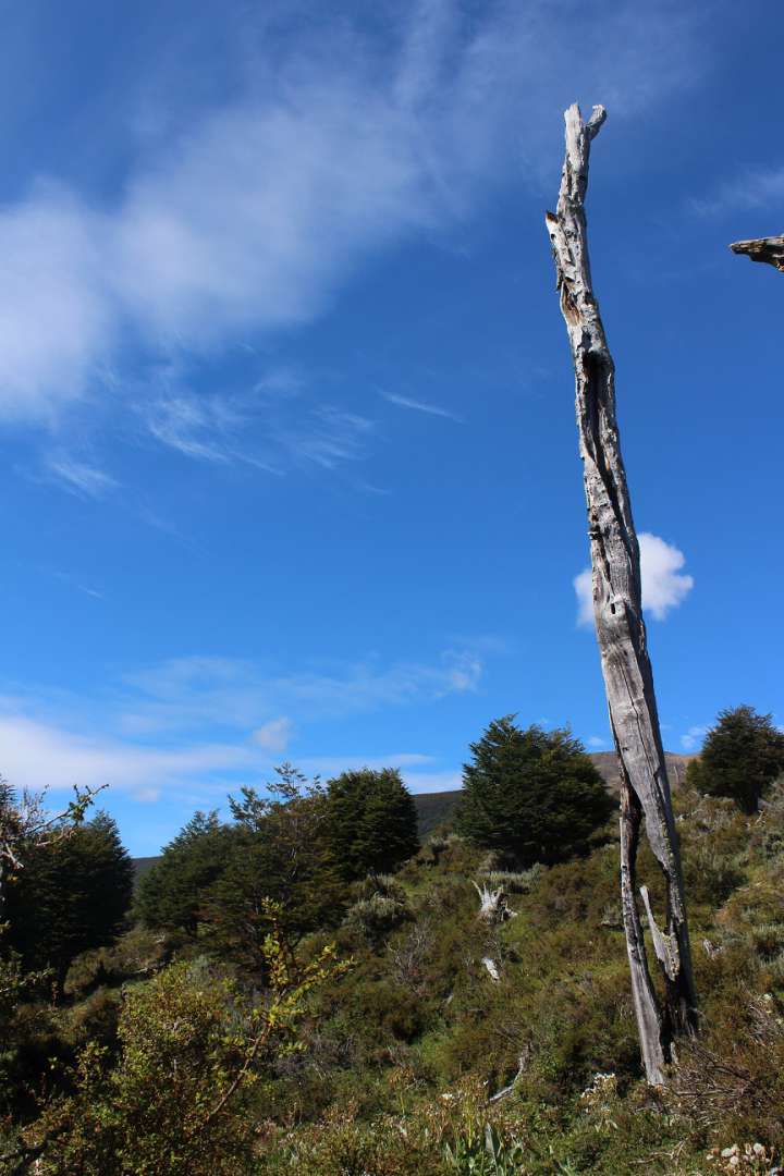
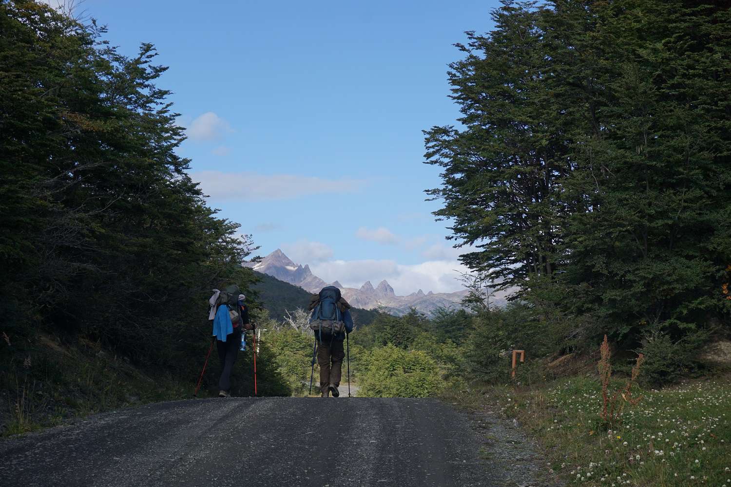
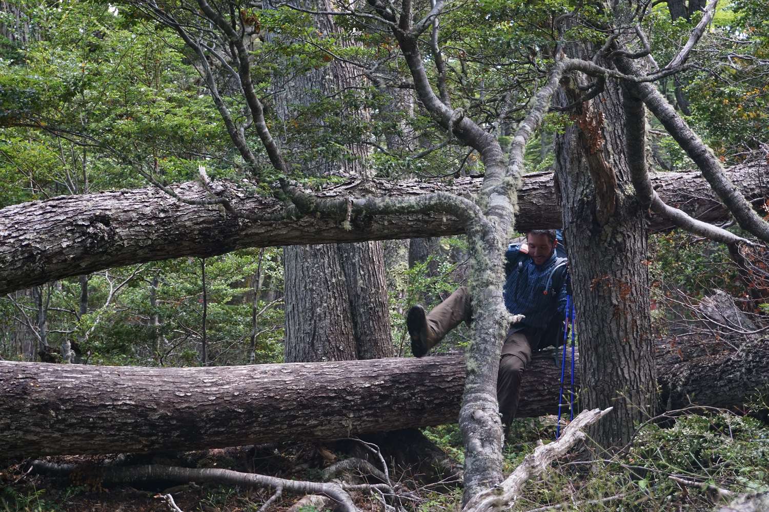
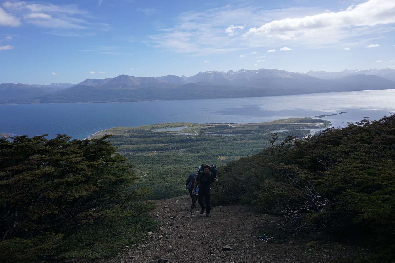
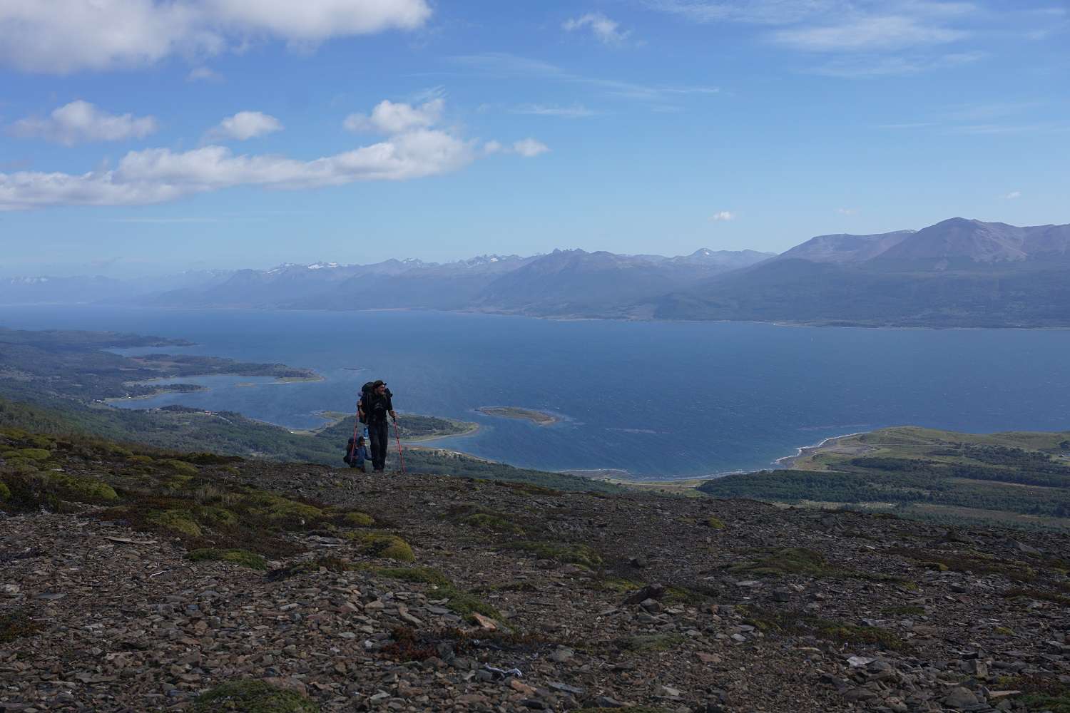
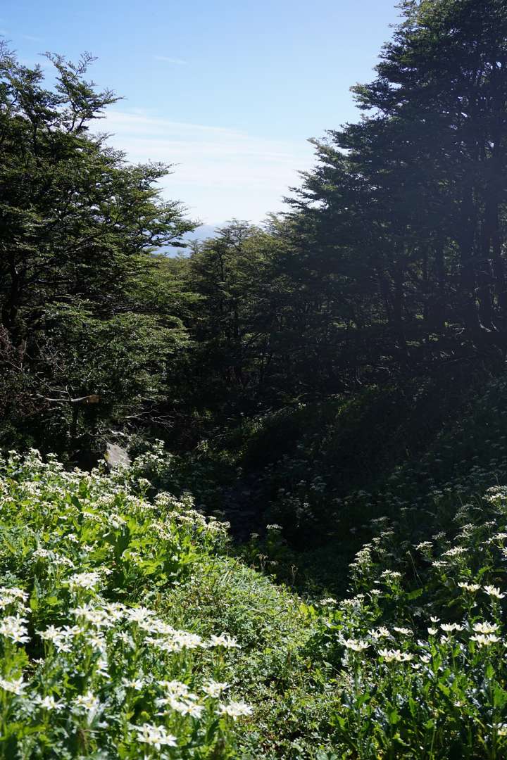
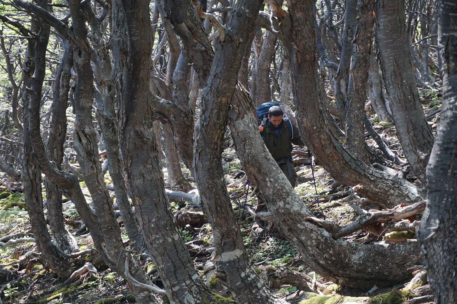
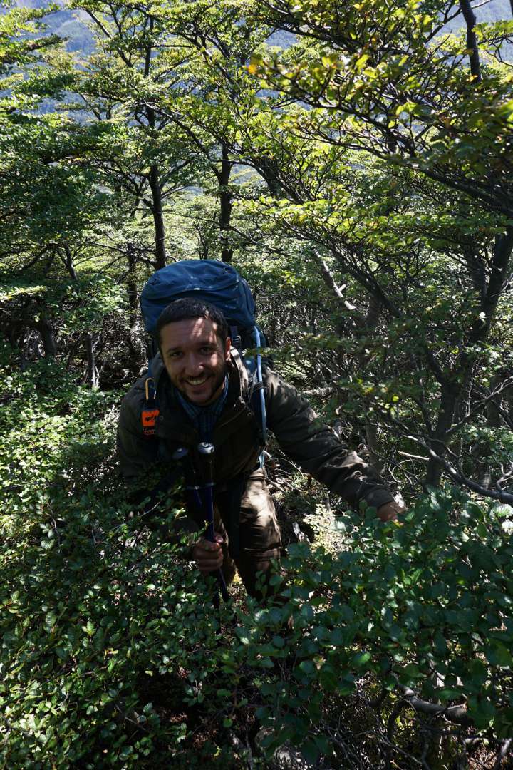
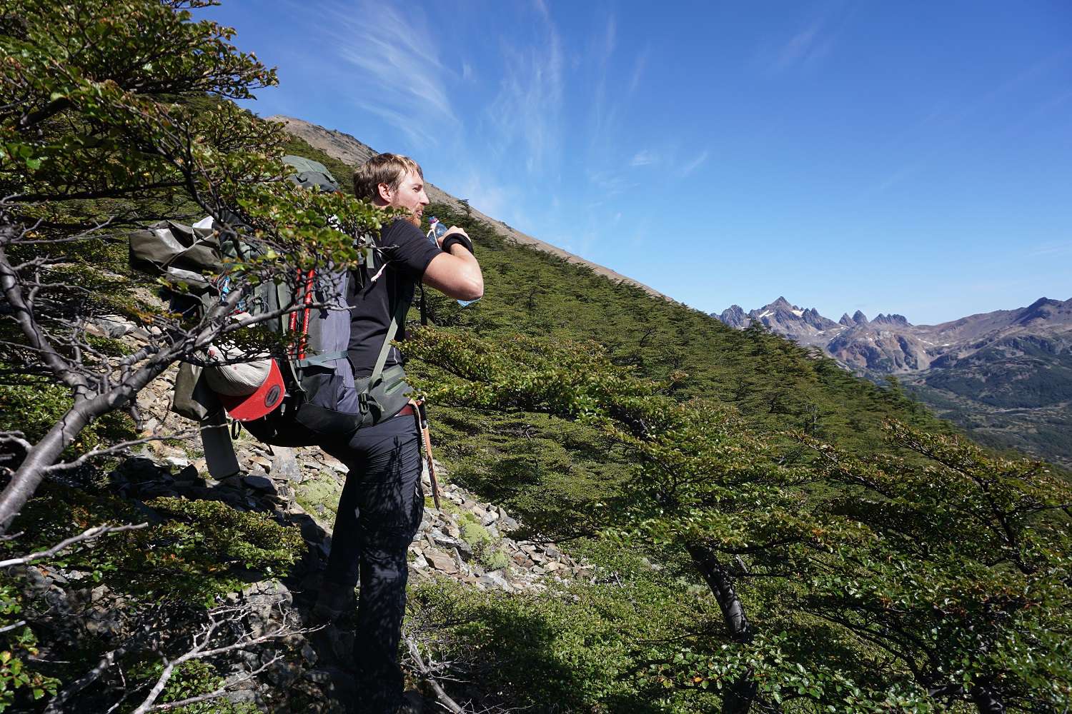
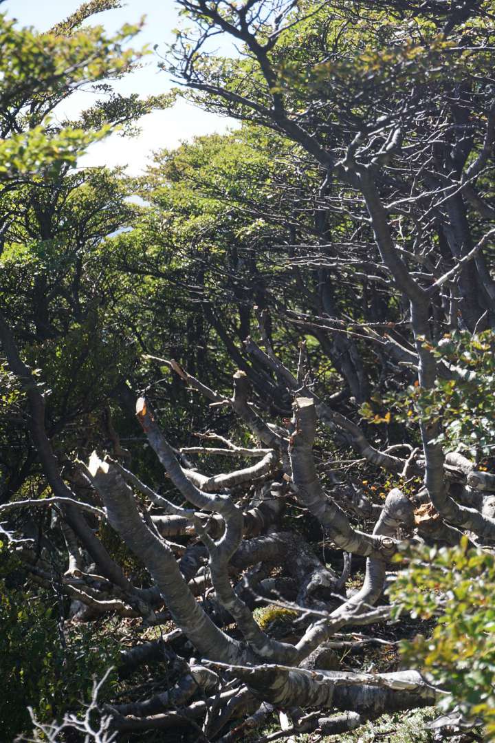
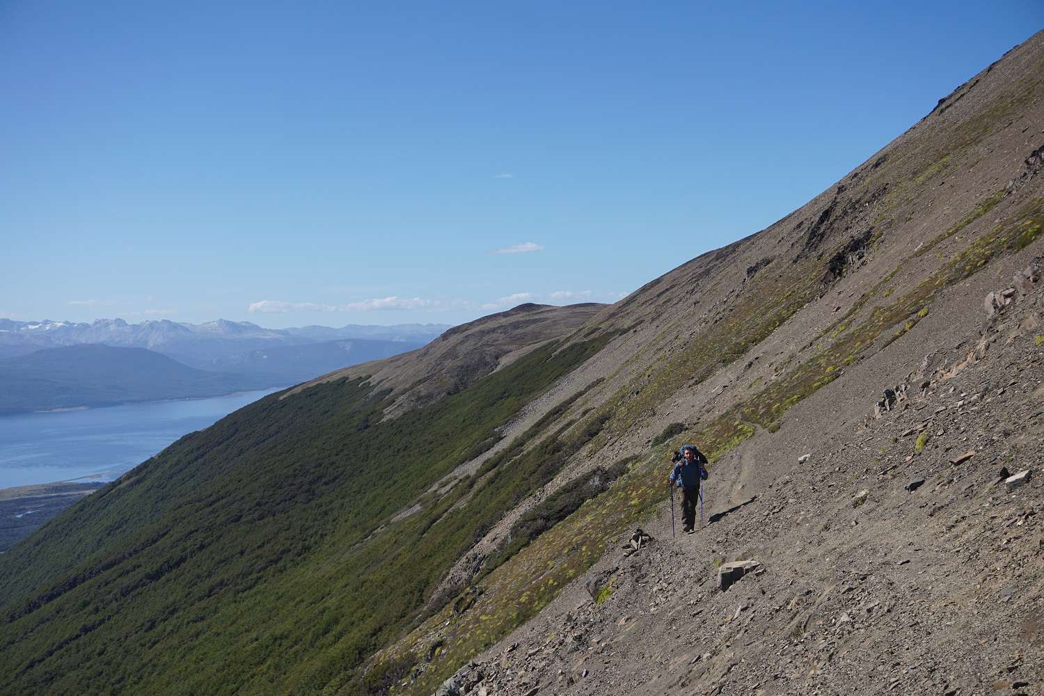
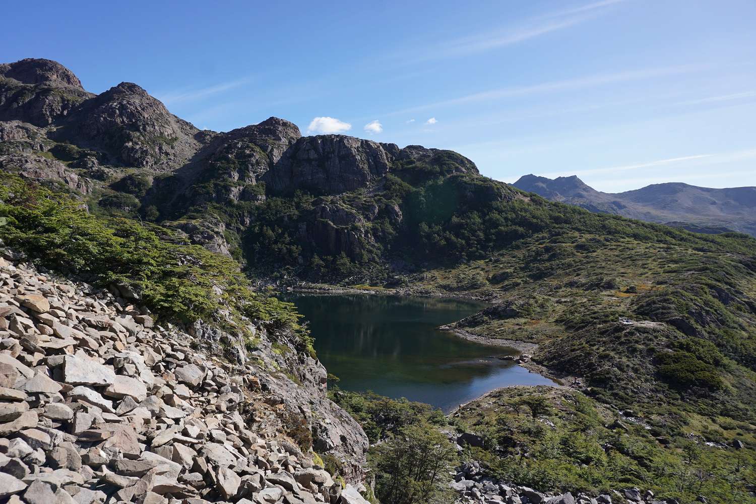
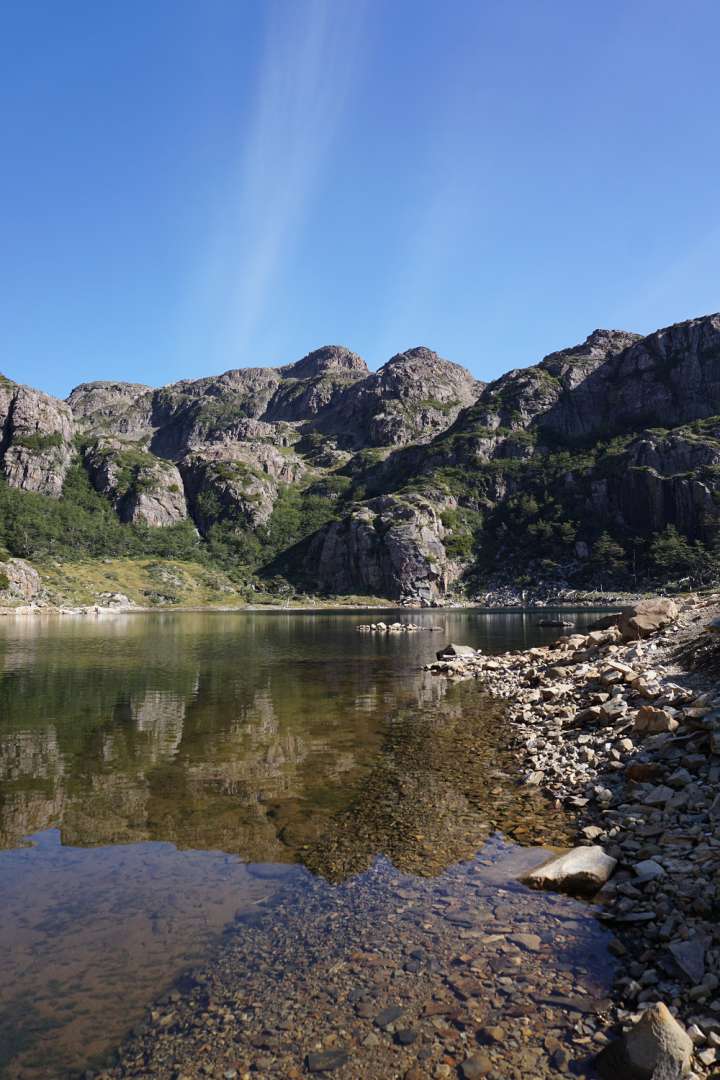
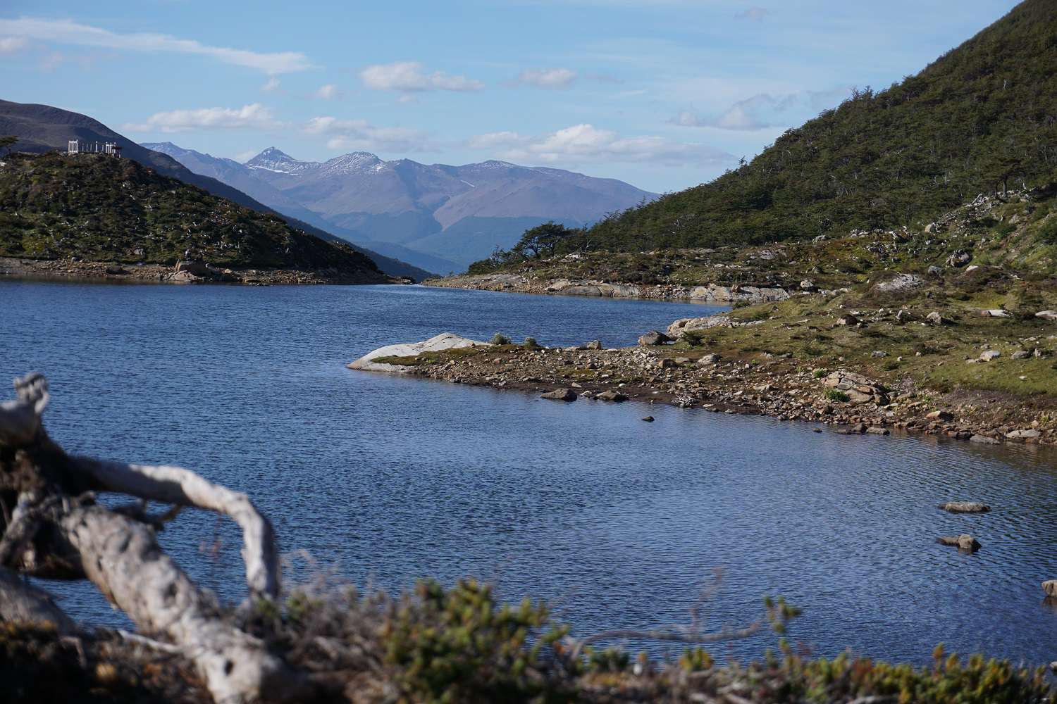
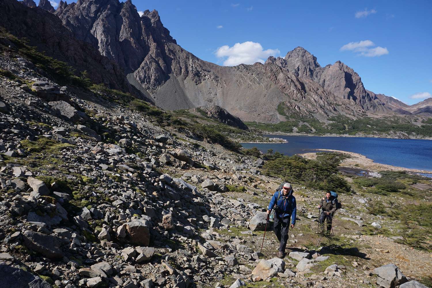
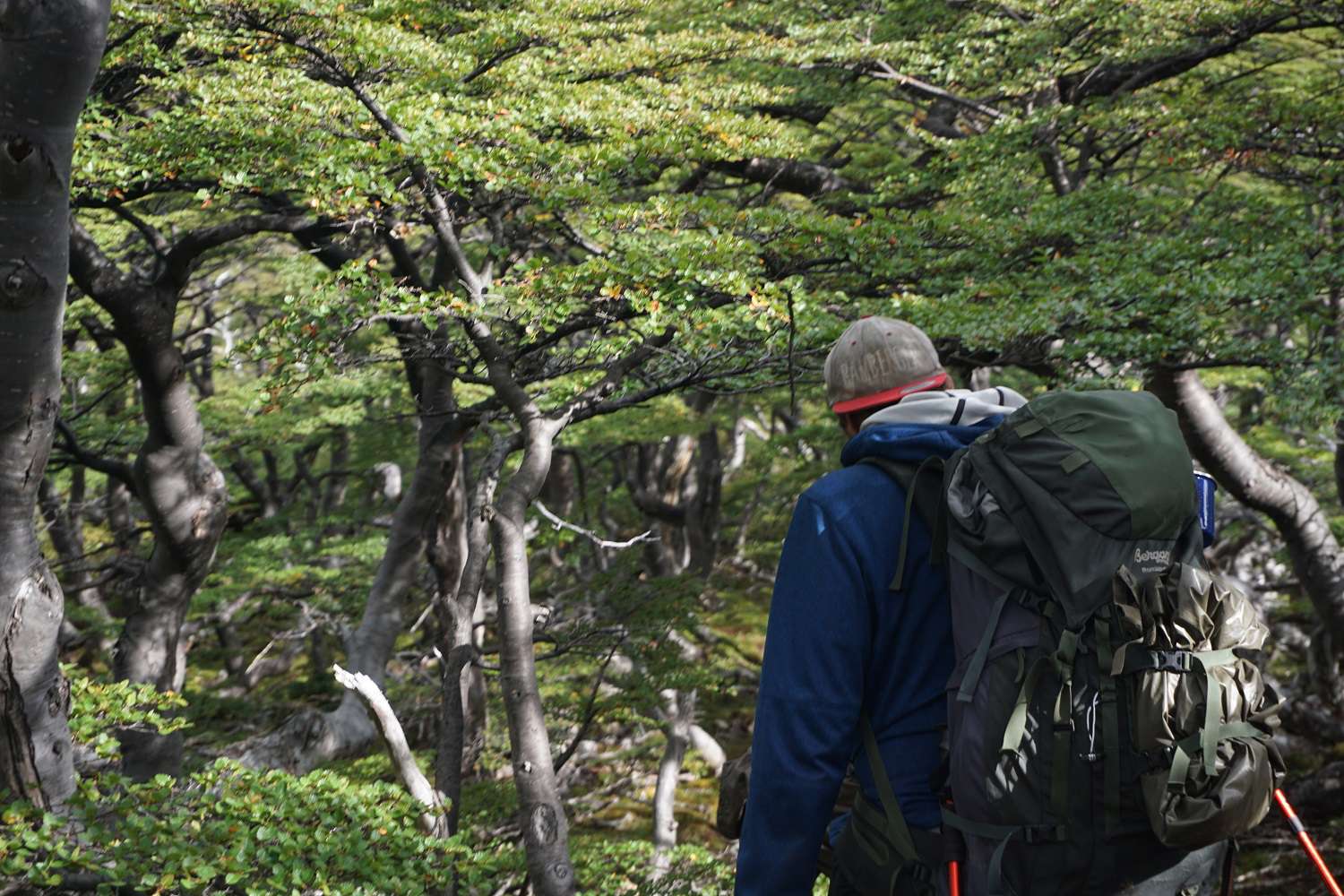
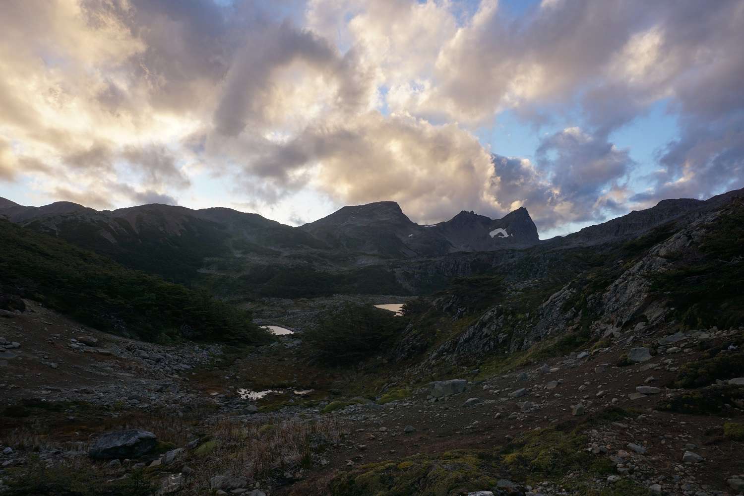
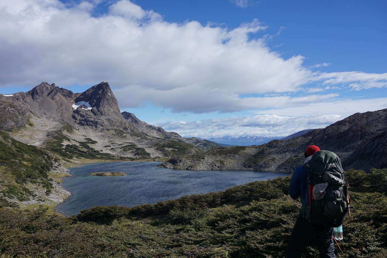
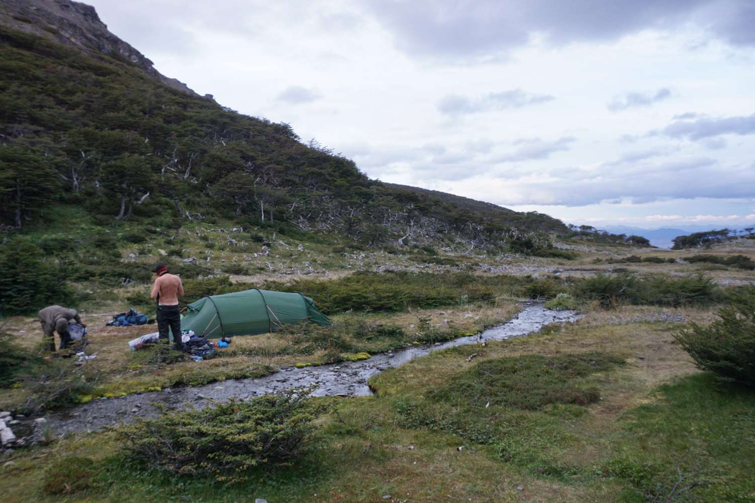
The next morning, we start around noon. We head towards the starting point of the Dientes de Navarino trek. The Dientes is set for 5 days and is about 30km long, so we want to complete it in 4 days, but we have food for 5 days. Right at the beginning, we start climbing up the mountain steeply. During the ascent, we have to climb over thick tree trunks in steep terrain. After about 800 meters of elevation gain, we reach the first summit with a gigantic view of the Beagle Channel in beautiful weather and strong winds. Then we move on to the first stage of the non-touristy area. We follow a narrow dirt road along the steep slopes. Eventually, the dirt road disappears into the slightly eroded slopes and it seems like the path leads along a riverbed into a forest downhill. After about 30 minutes of walking in the forest, there is disappointment. We got lost, but going back is not an option, so we decide to make our way up through the dense forest. According to the GPS, it's only a few meters uphill. After a few meters, the vegetation gets denser, so we finally get to use the machete. At the beginning, we only have to clear some branches out of the way, but soon we can only make slow progress by hacking through entire bushes. After about an hour of machete work in almost vertical terrain, we reach the dirt road again. Now we prefer to stay on the further path above the tree line and scramble along the narrow path along the steep slopes, with a gigantic view of the green valley dotted with deep blue lakes, at the end of which the steep peaks of the Dientes rise upwards. At the end of the dirt road, we can already see the first camp. A beautiful lake at the foot of the Dientes. We still have to tackle a steep descent to get there, and then we're done. We set up Tilman's tent and prepare our food. In the evening, the wind picks up and sweeps over our tent again and again, but it's still comfortable to sleep in a Hilleberg tent even in strong gusts of wind.
Day 2:
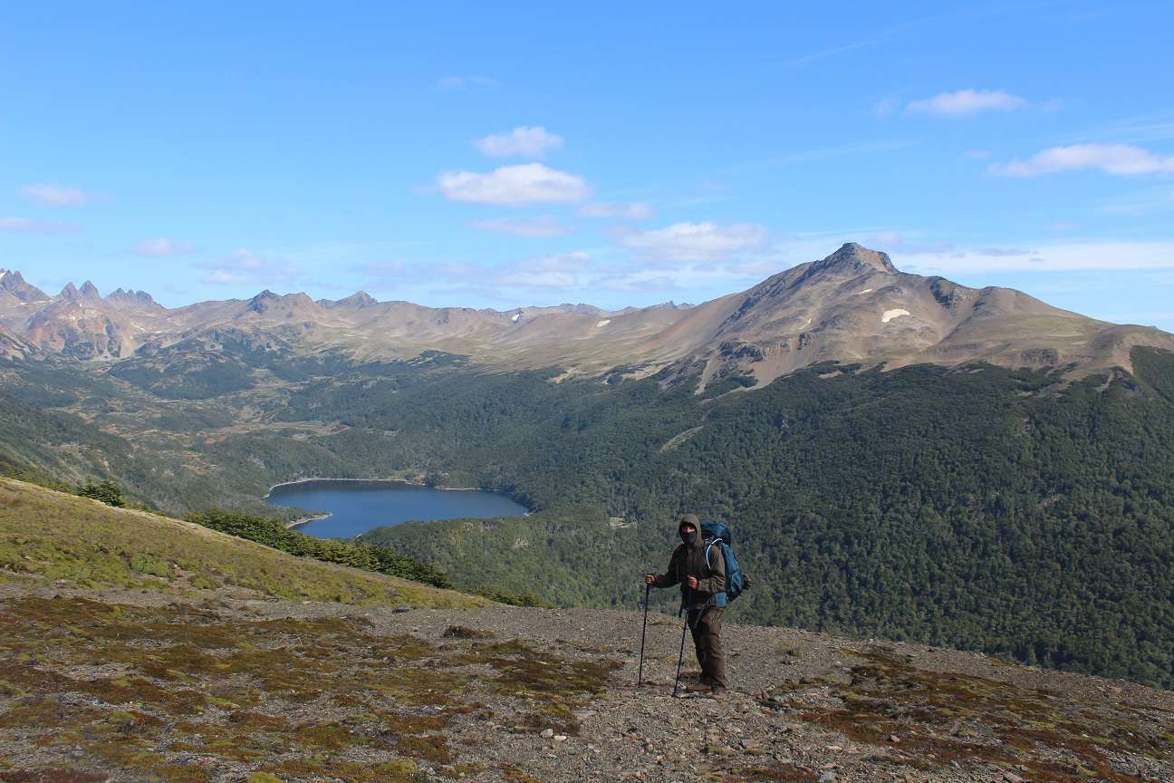
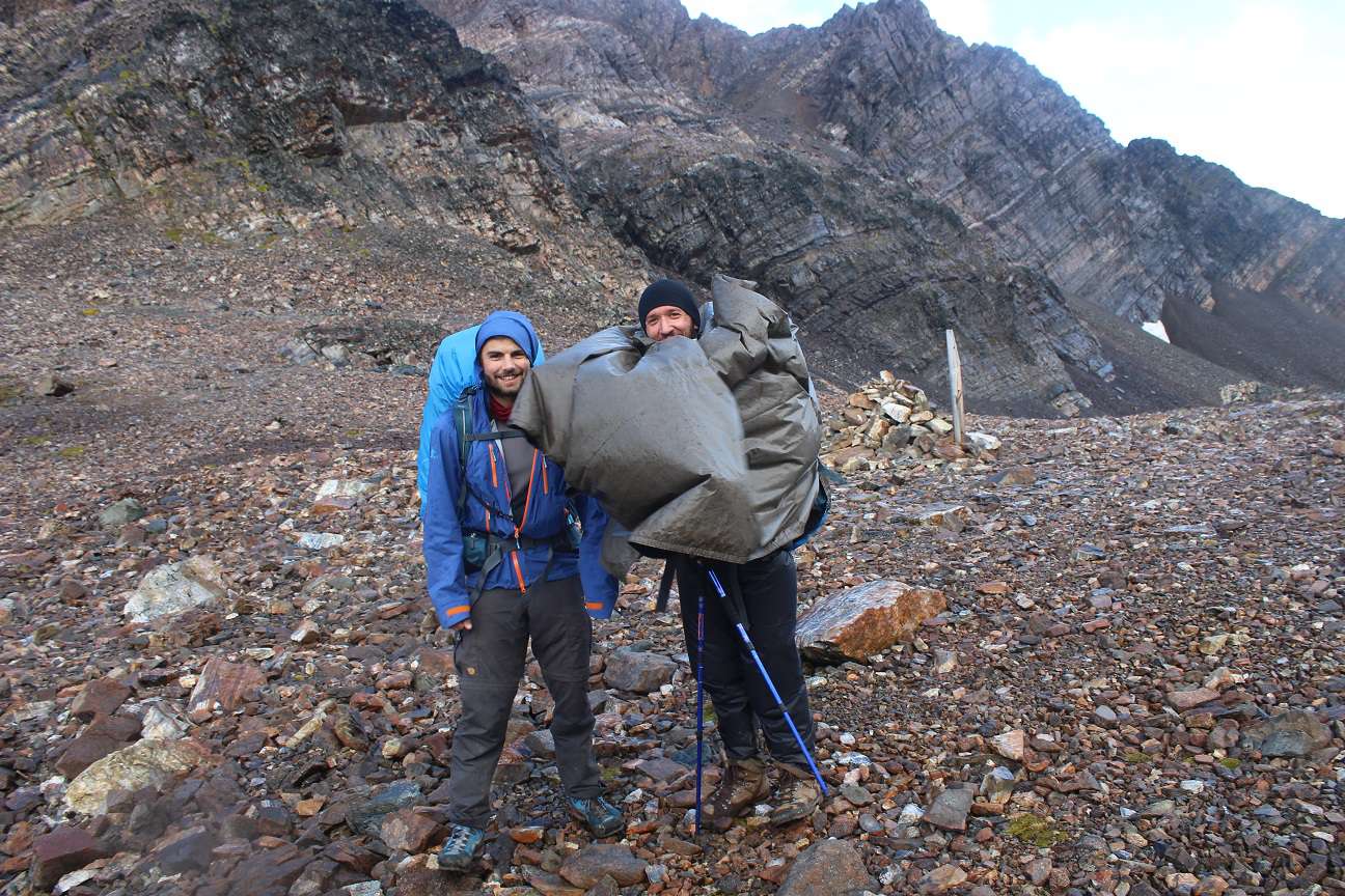
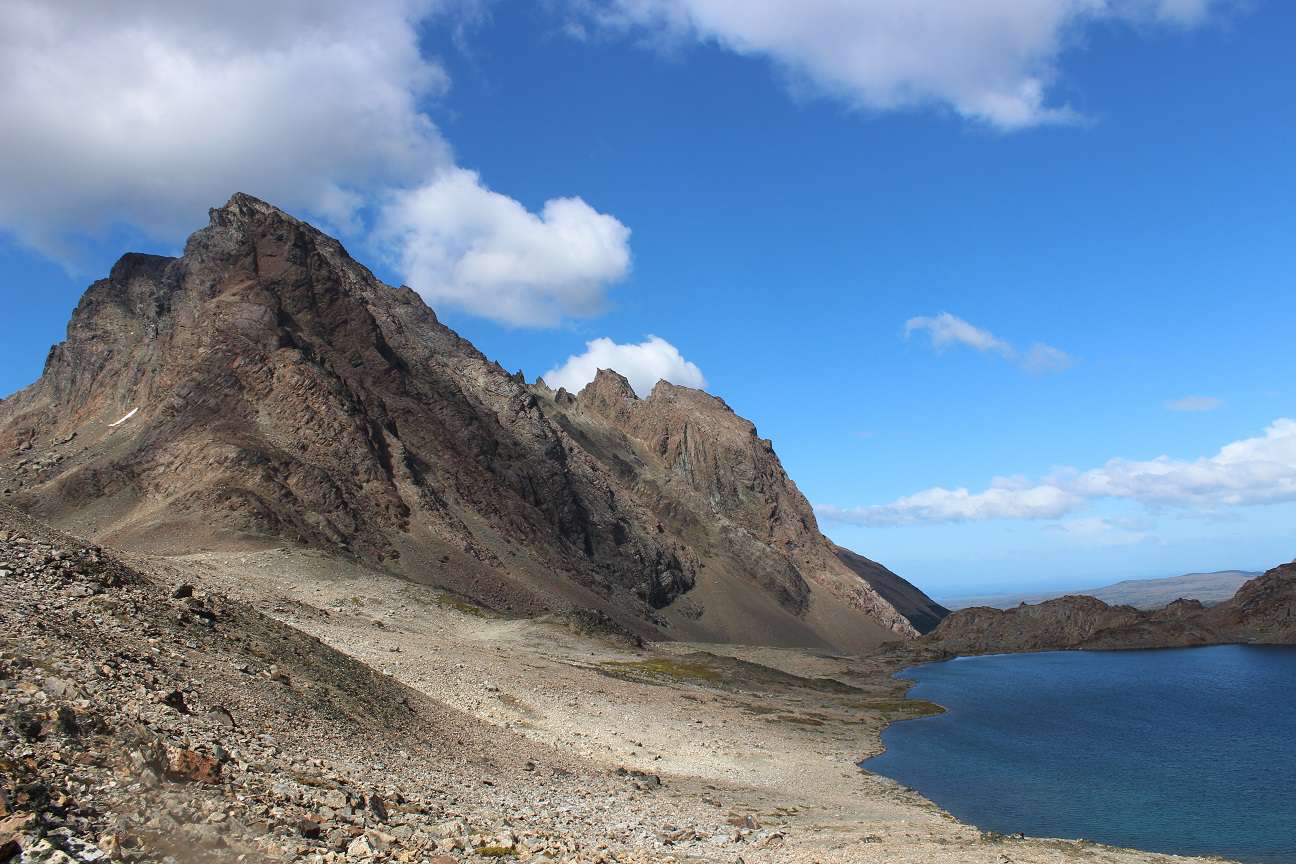
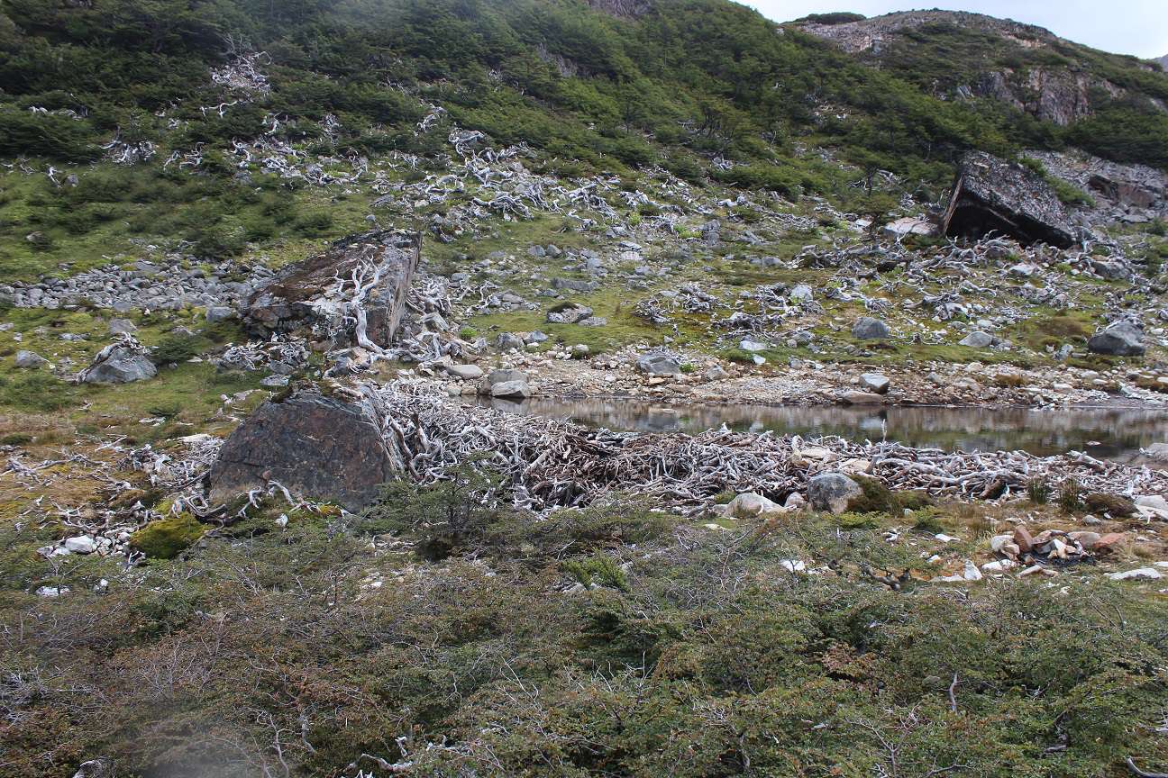
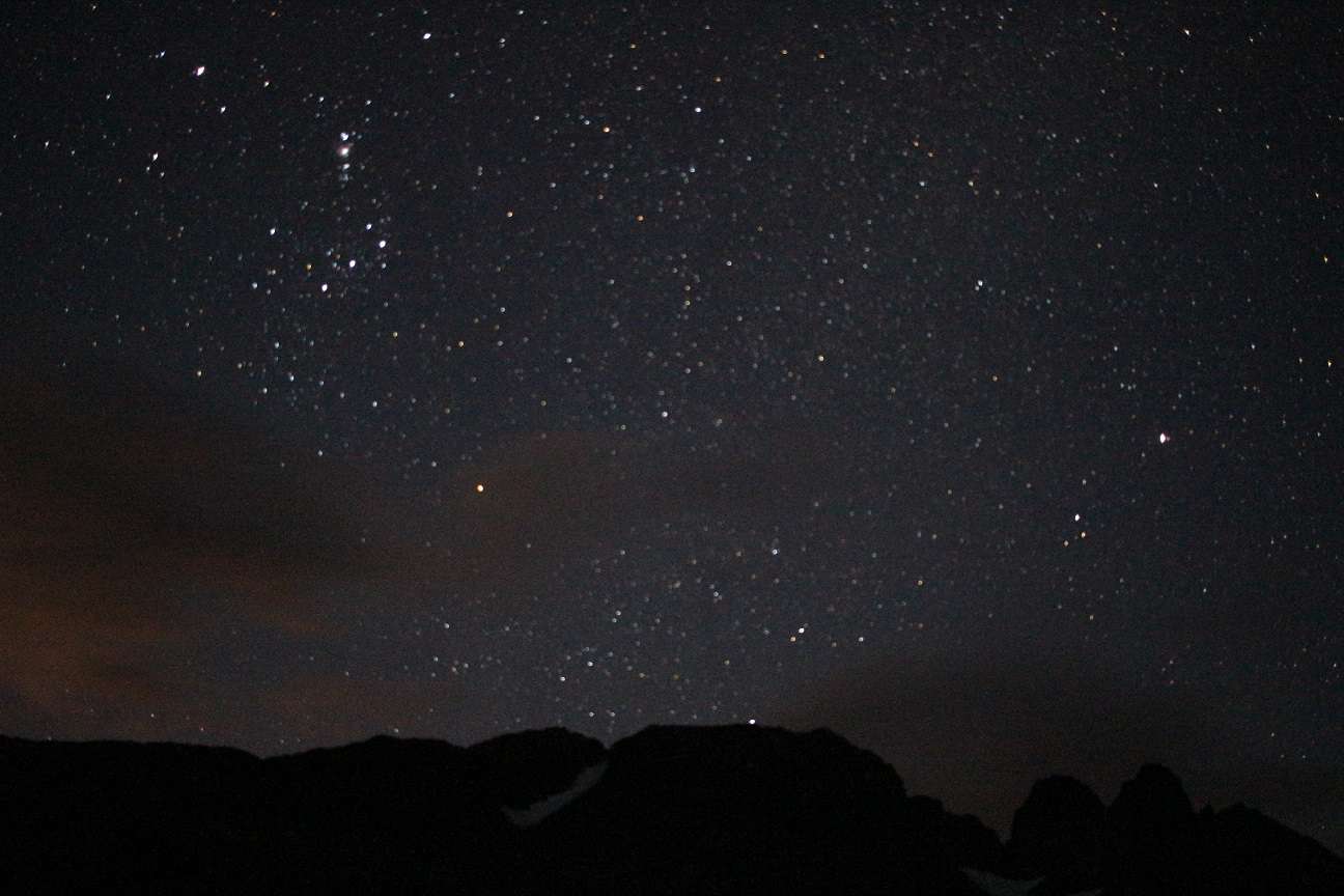
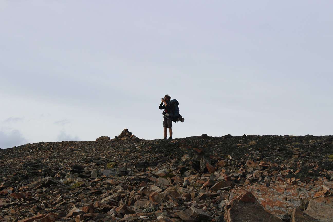
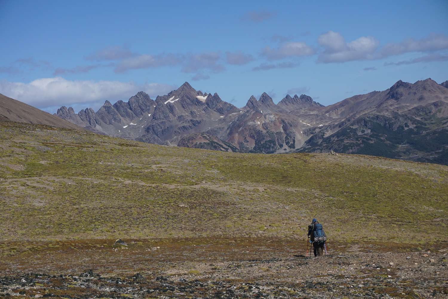
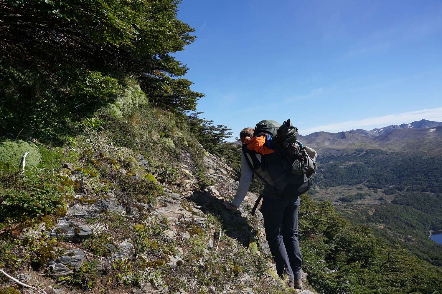
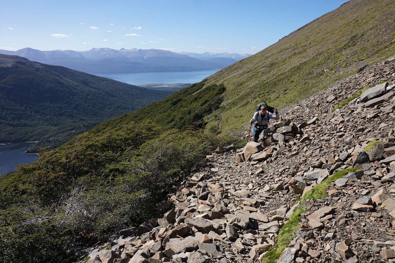
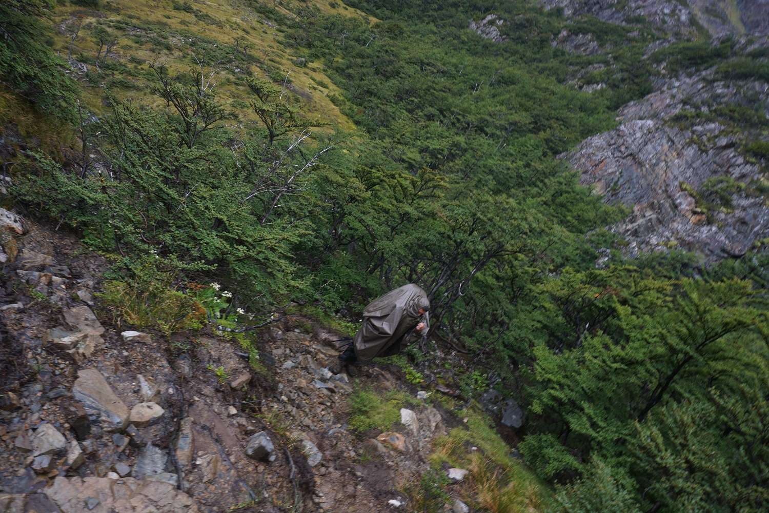
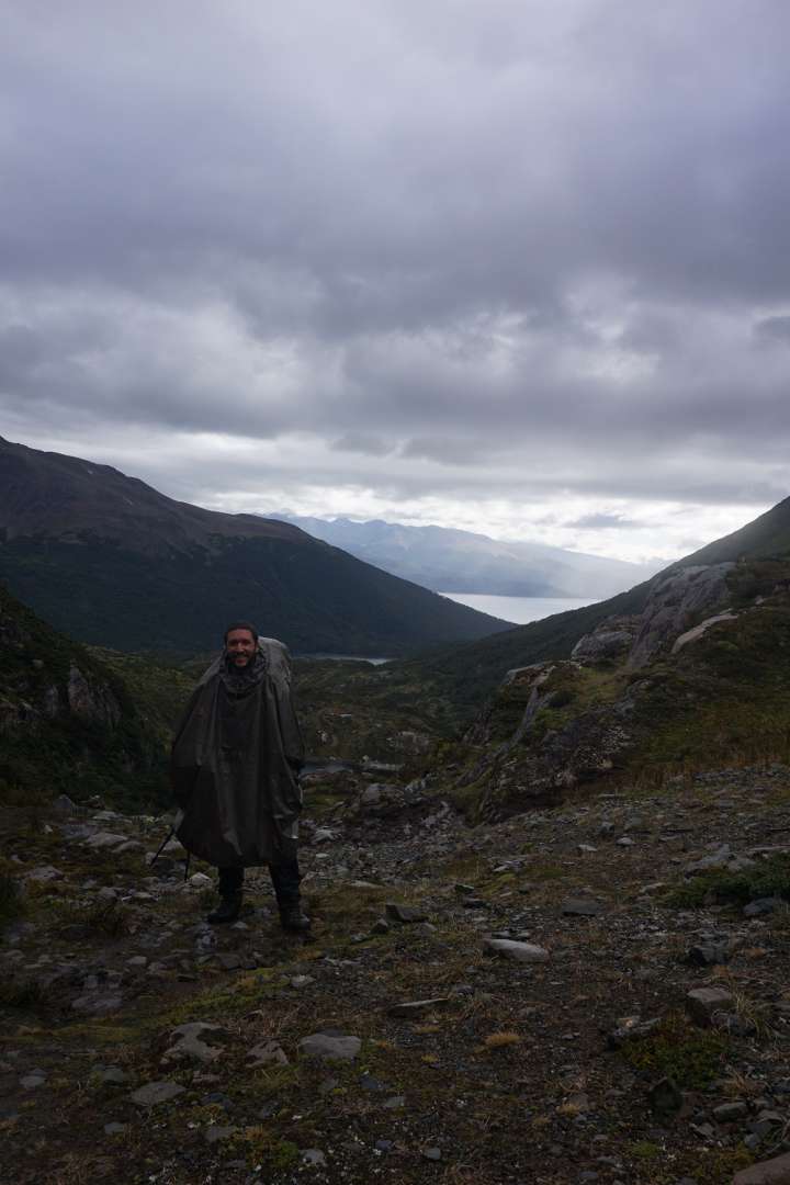
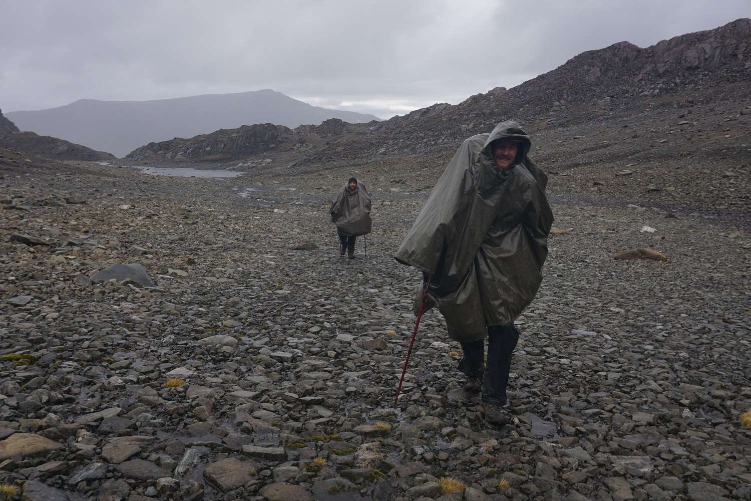
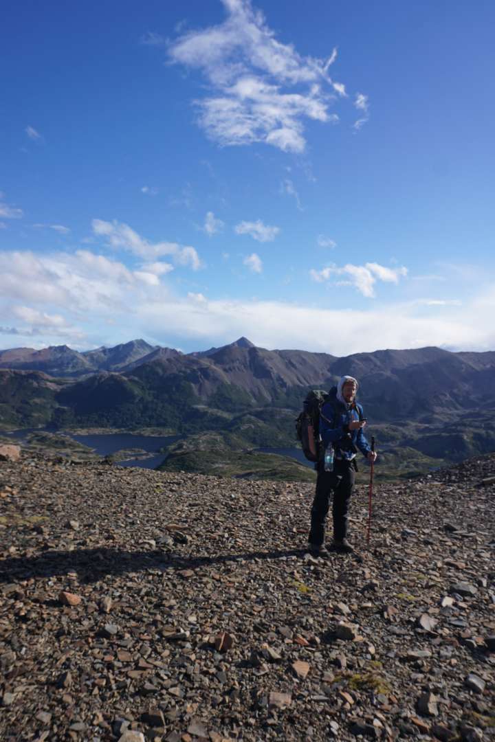
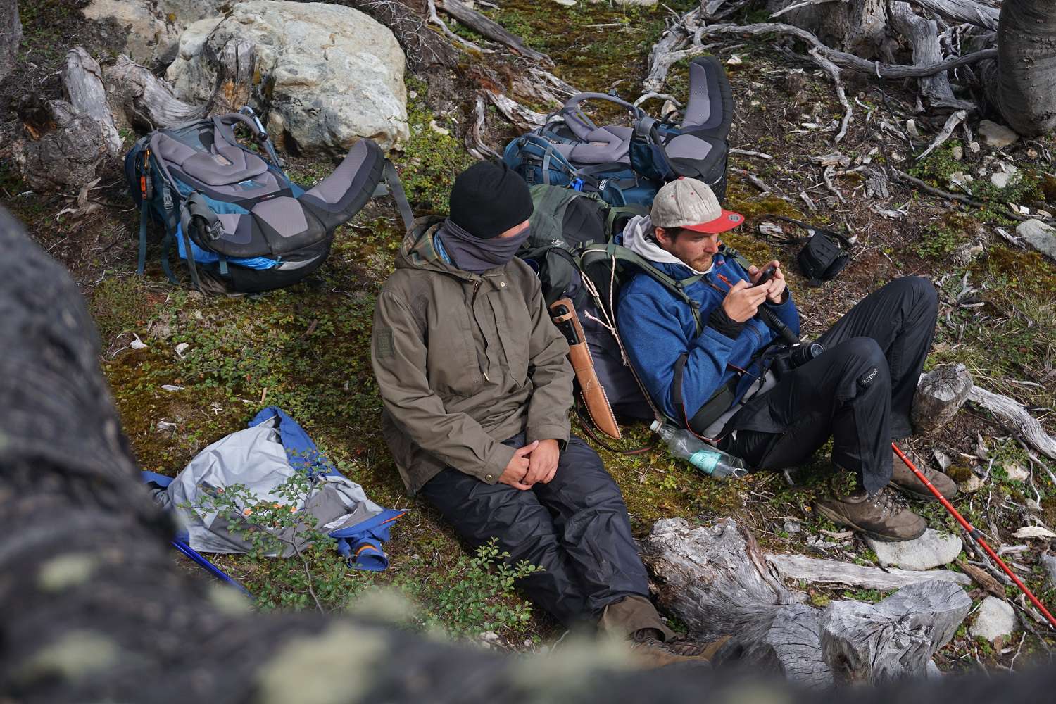
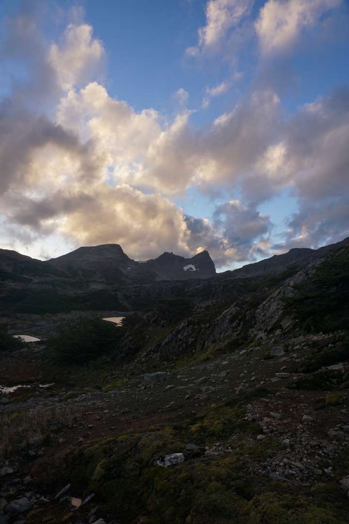
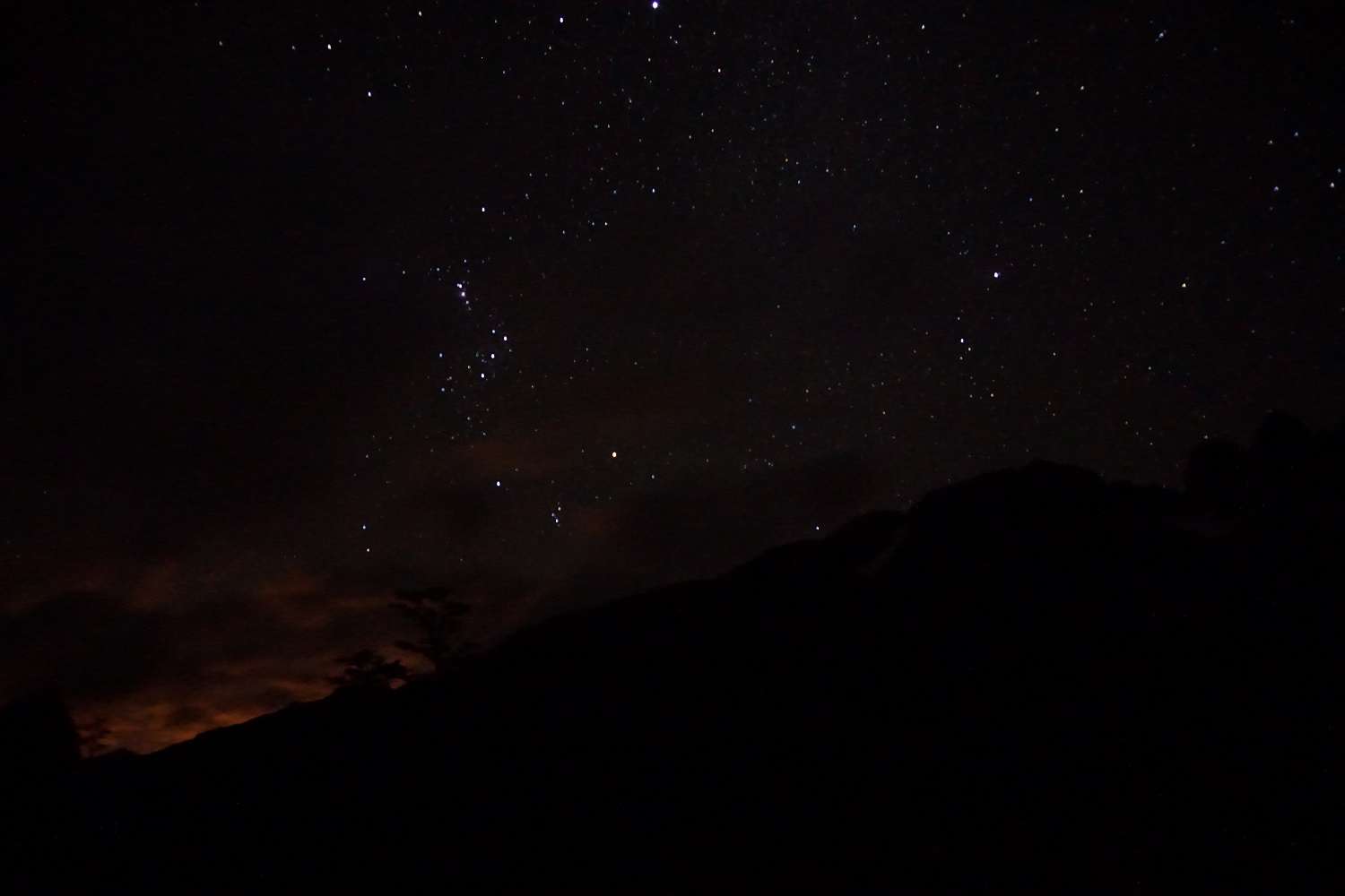
The second day starts with a climb to Paso Primero. We manage to pack up the tent just before it gets wet and set off in the rain, protected by our ponchos, along a riverbed that has formed on the trail. We wade through streams and deep slippery mud, climbing up the steep slope. Above the tree line, we walk across gravel fields. The wind is blowing strongly around our ears. Since there is no proper trail on this trek, only small markers called Snoopys made of stones, it is sometimes very difficult to find the right path. So, we get a little lost at the laguna that appears after Paso Primero. After a quick check with the GPS, it is clear that we have to go up this steep wall. It looks like there are plenty of good handholds and footholds, so we decide to start climbing. About halfway up, it becomes clear that there is no turning back now. So, we continue climbing steeply uphill with our 20kg backpacks. In the meantime, I get stuck in an overhang, but as a team effort, the three of us manage to free me from my backpack so that I can continue climbing. After about an hour of climbing on slippery rocks and scree, we all reach the top relieved and unharmed. A few meters later, we reach the next pass, which rewards our efforts with a gigantic view all the way to Cape Horn. We let the strong winds, which sometimes move us 2 meters, dry us off and enjoy the view of the vast green lake landscape in front of us. After a short break at this height, we continue steeply downhill. We can already see our next destination and find a relatively easy way along the beautiful lakes and forests. We frequently come across areas where beavers have cleared the land. They have no natural enemies here and are therefore a nuisance in Tierra del Fuego. When we reach the endpoint of the regular day hike, we take a short snack break. But we don't have much time to rest because we want to complete the Dientes in 4 days, and after a quick calculation of our food consumption, we have to keep going and face the next ascent. Steep scree slopes await us again, but this time, the wind blows gusts so strong while climbing that we have to go down on our knees to not be blown away. Once we reach the top, we can lean into the wind with our full weight. But what awaits us on the other side was for me, for sure, one of the most beautiful sights of the entire trip. A landscape that couldn't be painted any better. After a short break, we continue. Max cheerfully leads the way and after the descent, we keep walking until we find a dry and beautiful camping spot. With strong wind, we set up the tent and start cooking as darkness falls. After dinner, Max and I, chilled by the strong and icy winds, retreat into the tent, while Tilman stays outside hoping for a clear night sky. When I take another look outside about an hour later, his persistence has paid off. A gigantic starry sky stretches above us. I quickly grab my camera to take 1-2 pictures and join Tilman. But I can't stand being outside for more than 20 minutes.
Day 3:
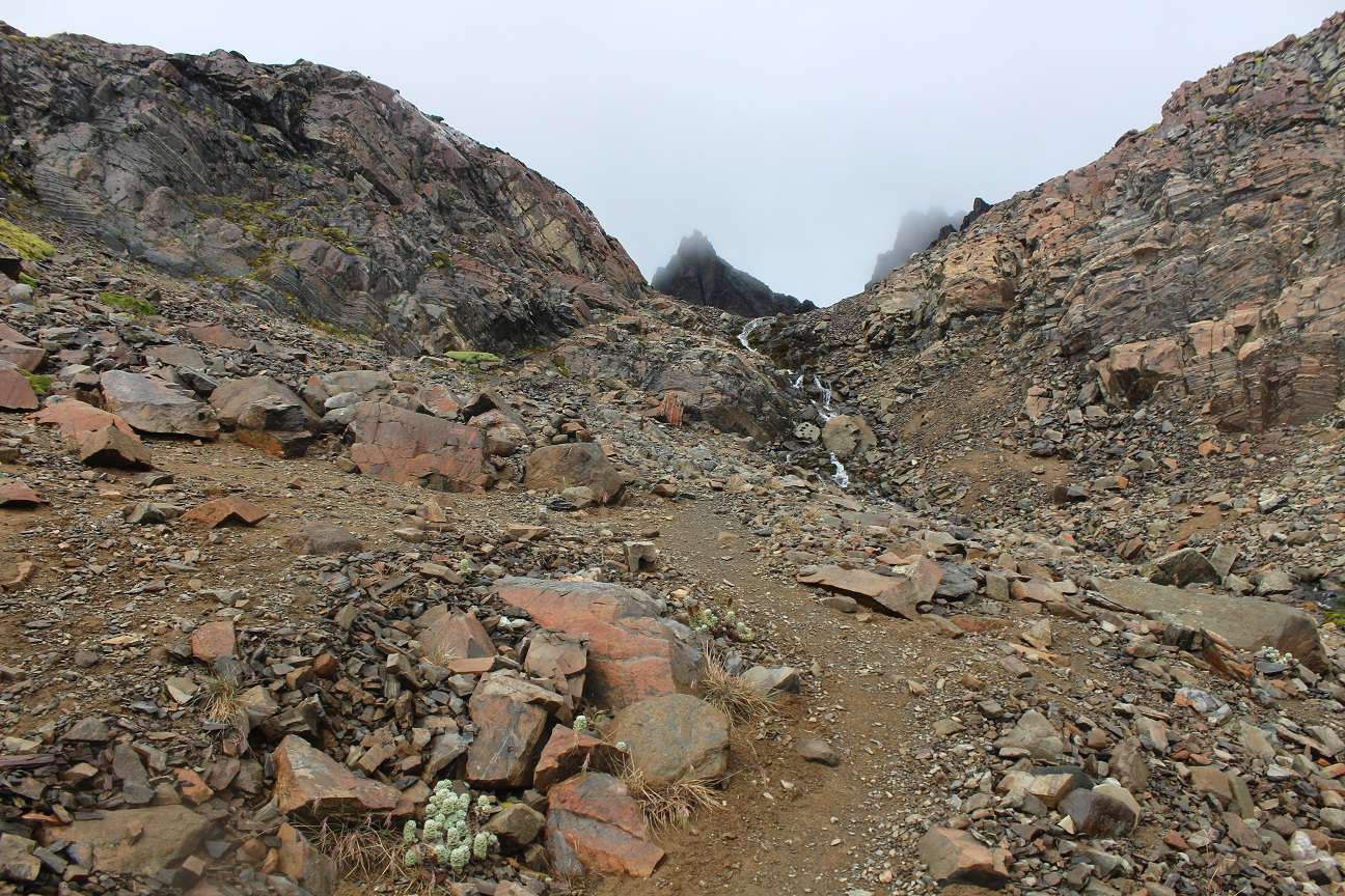
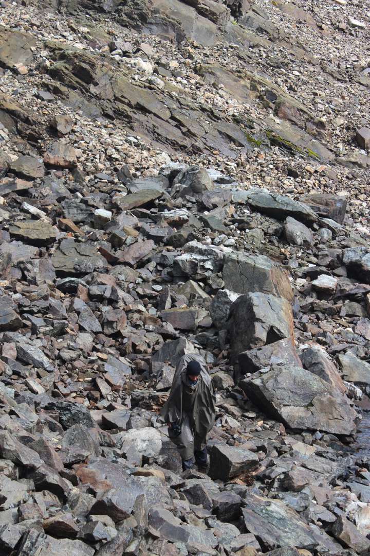
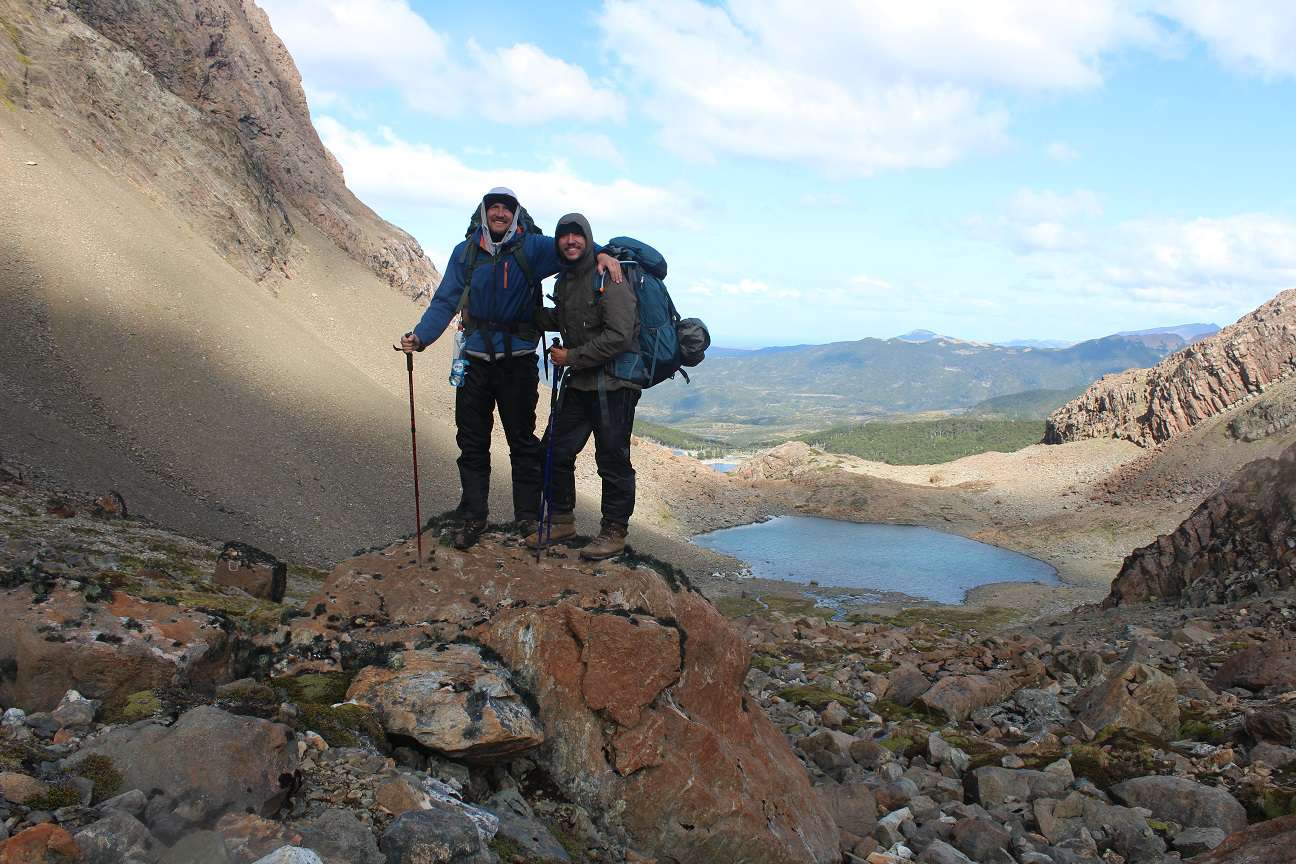
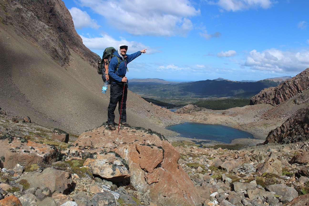
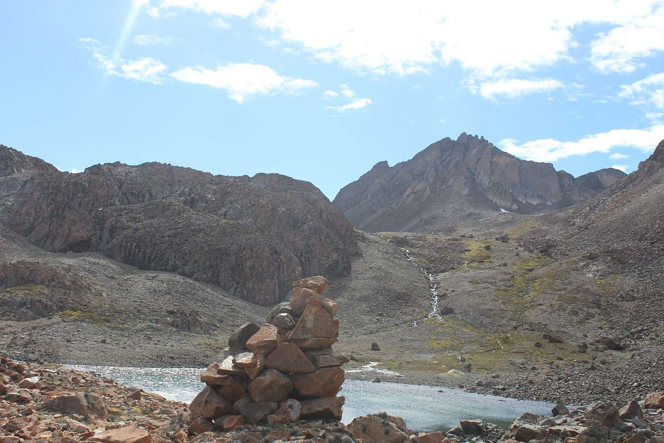
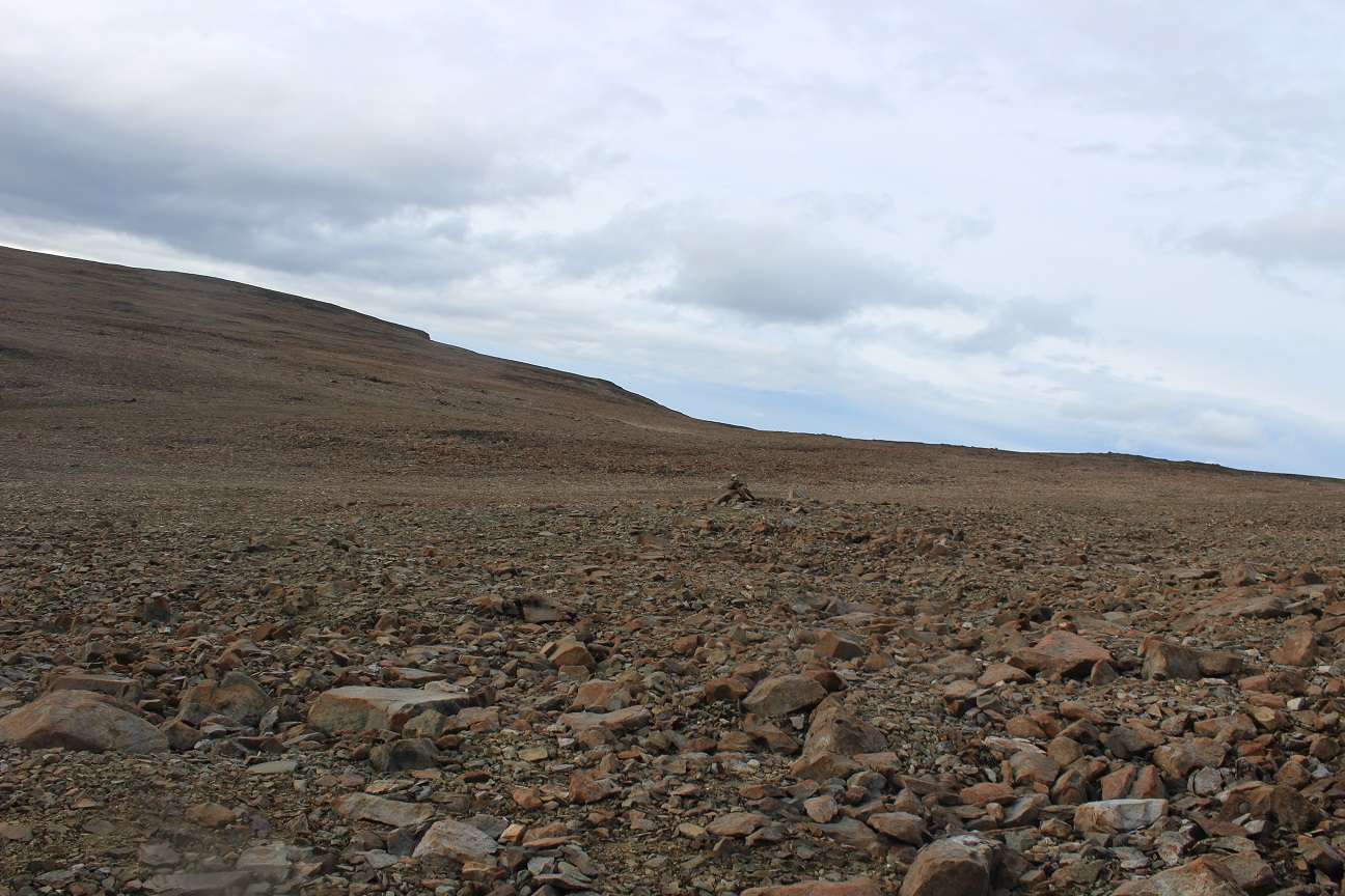
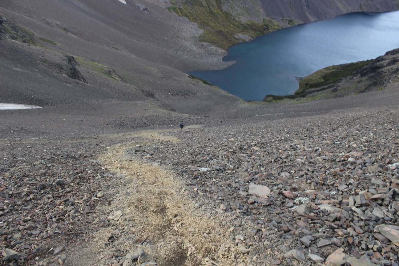
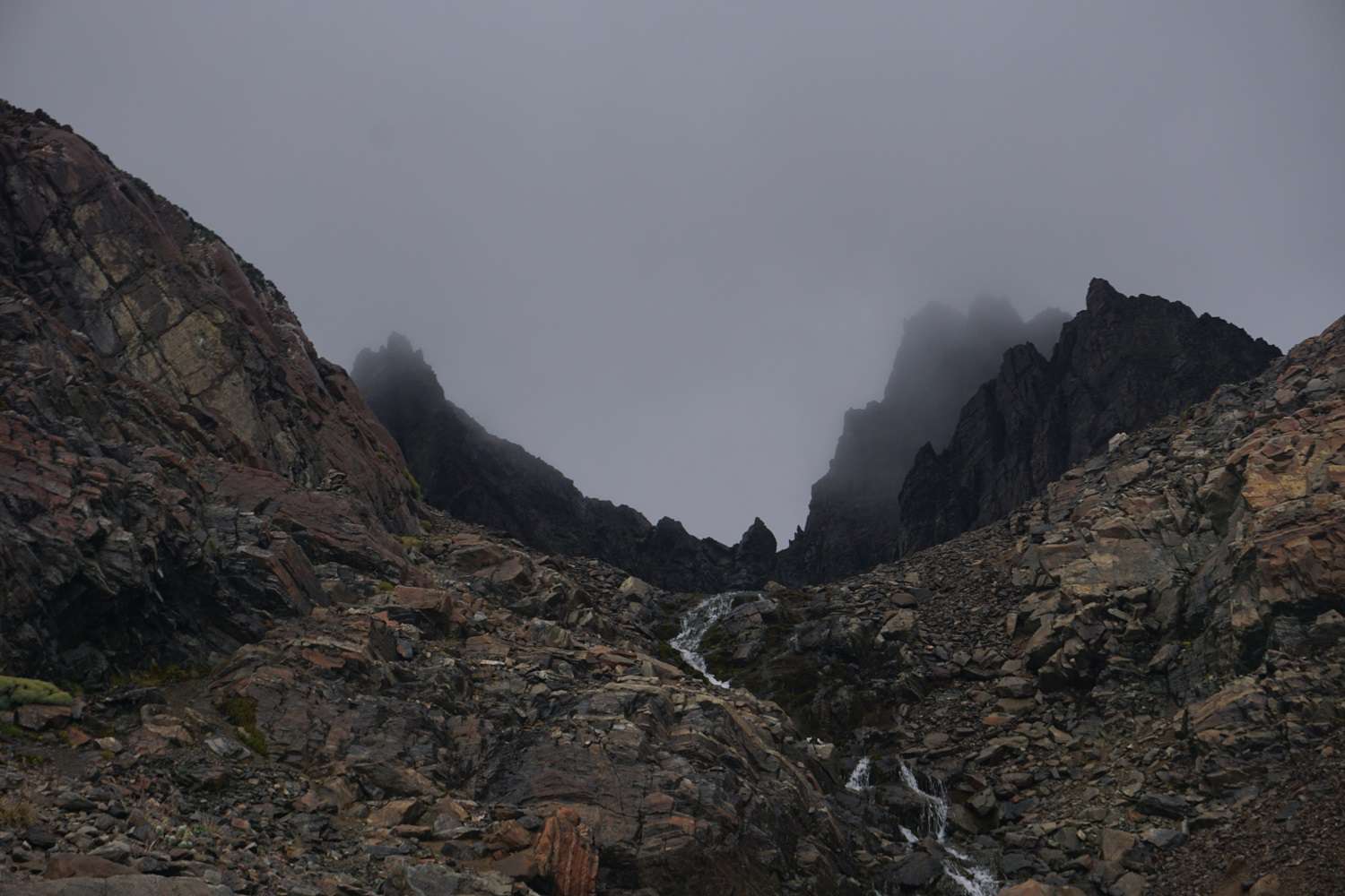
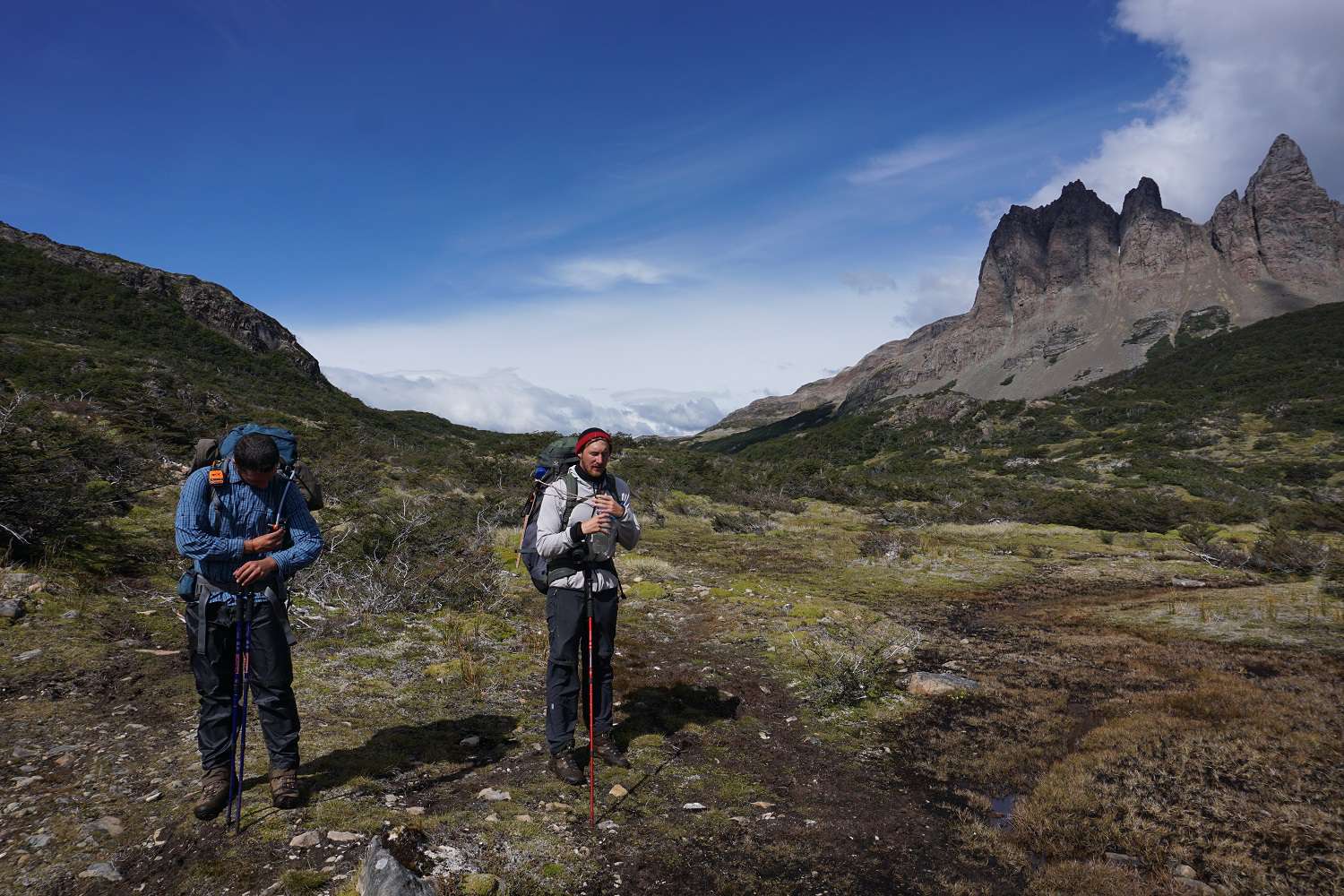
The next morning awaits us as clear as the night. We embark on the final major stage and the last pass. We walk leisurely through the valley until we reach the last ascent. We repeatedly wade through deep mud. At the last climb, it becomes a climbing challenge, where you mainly have to pull yourself up the steep walls with your arms through the slippery and deep mud. So, we reach the summit covered in mud from top to bottom. We walk across the scree plateau and wonder why people camp up here. A stone circle reveals the camper's location. (2 days later, we would find out why)
On the other side of the pass, there is confusion, where is the path going down from here? We stand on a steep cliff and are not sure if what lies ahead is supposed to be a path or just a landslide down the slope?
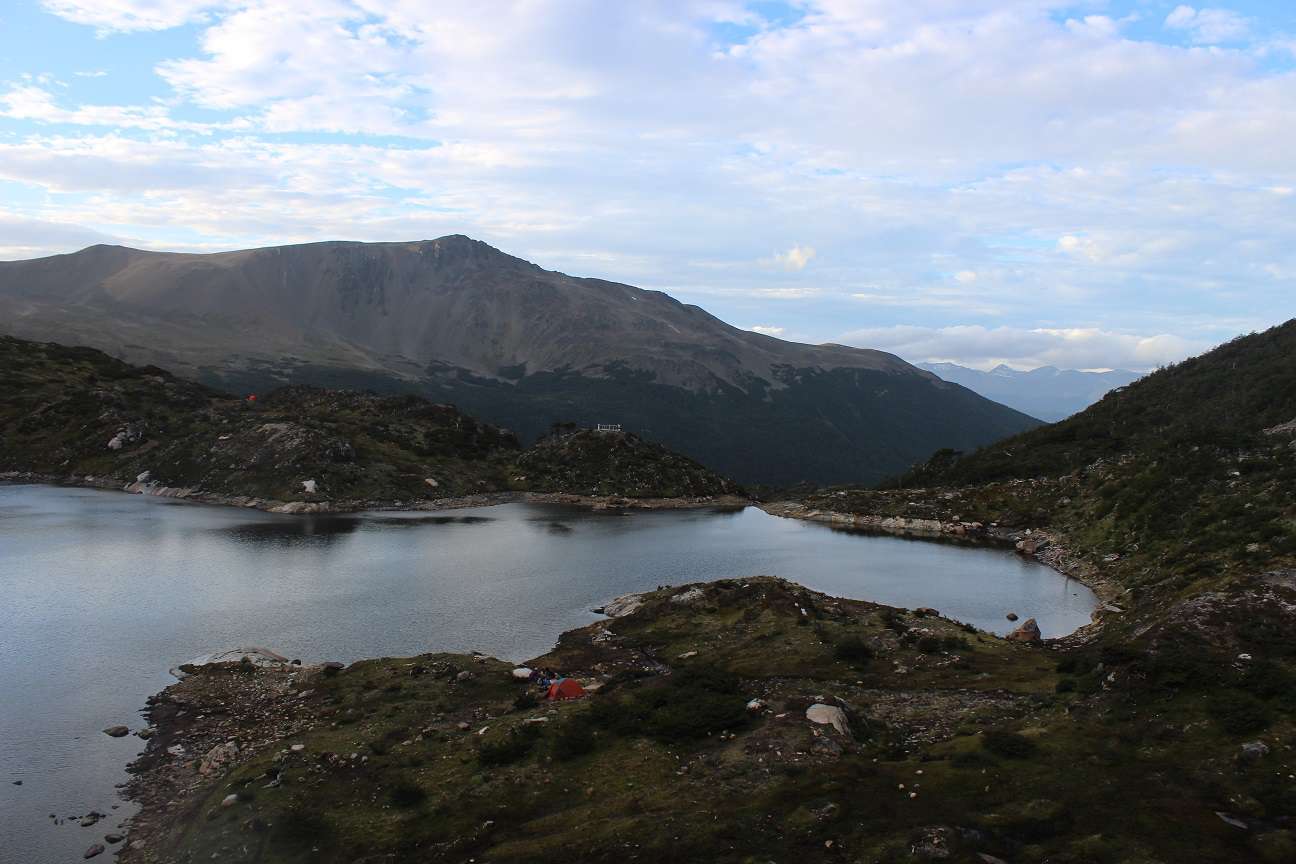
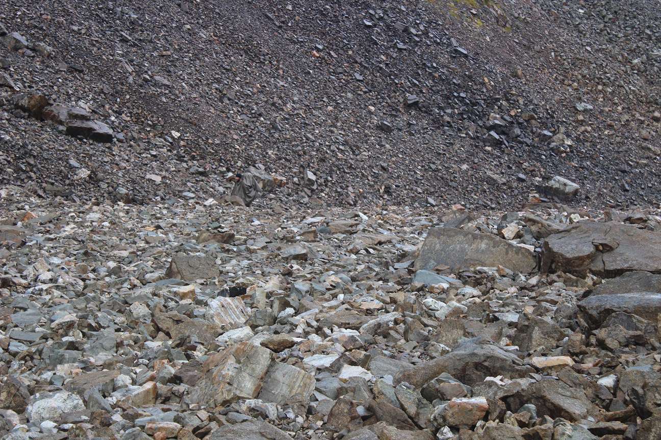
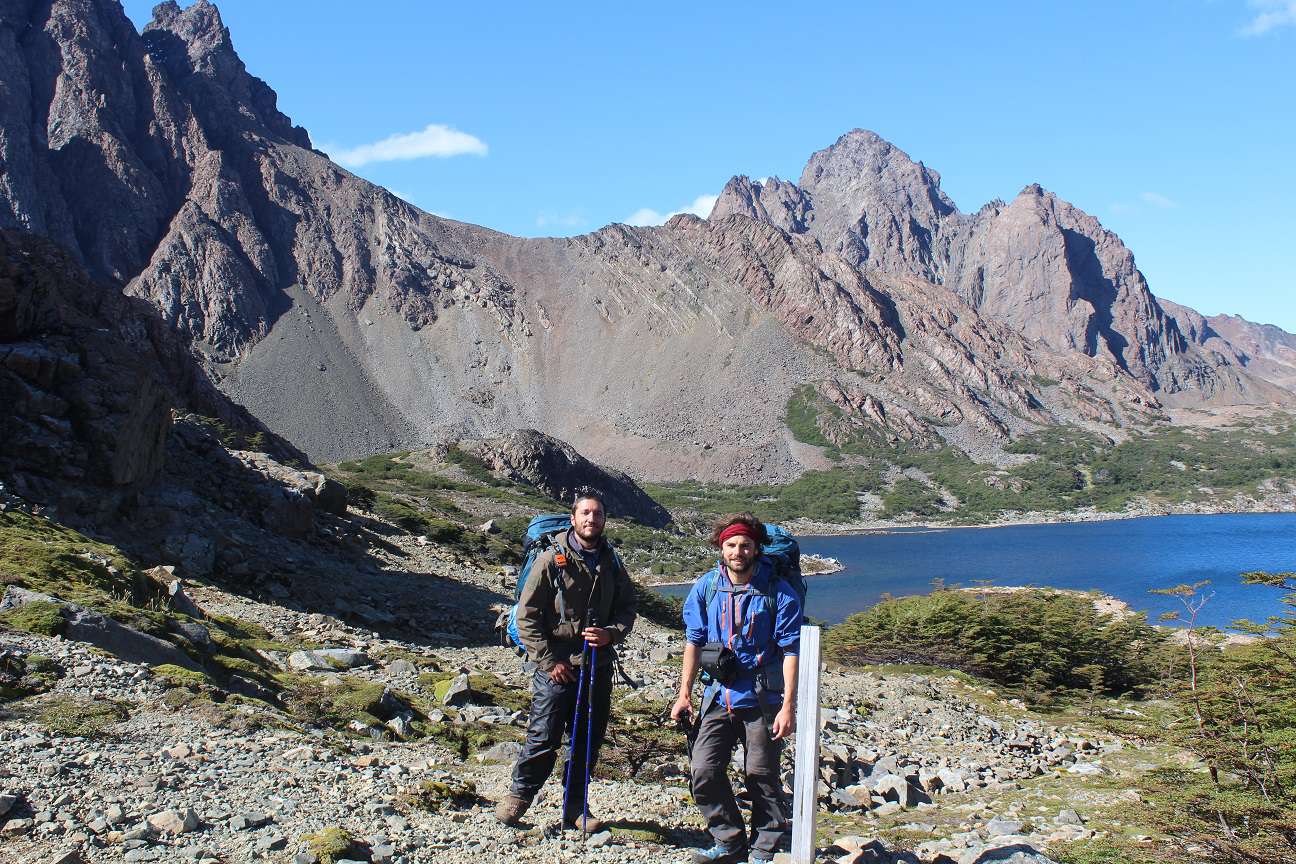
We check our GPS again, but it clearly indicates that it goes down into the valley. So, Tilman starts heading down. Max and I decide to continue first along the slippery and narrow path along the steep cliff to the other side. From there, we make our way down the scree slope, sliding down into the valley. Tilman is already waiting for us in the valley, and we hike the last stretch to the final camp. Even from a distance, we smell a campfire, and when we arrive, we meet other people for the first time on our hike. Swiss, French, Belgians, and Germans gather around the campfire, exactly the nationalities you would expect ;)
Day 4:
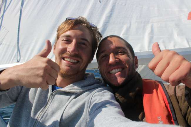
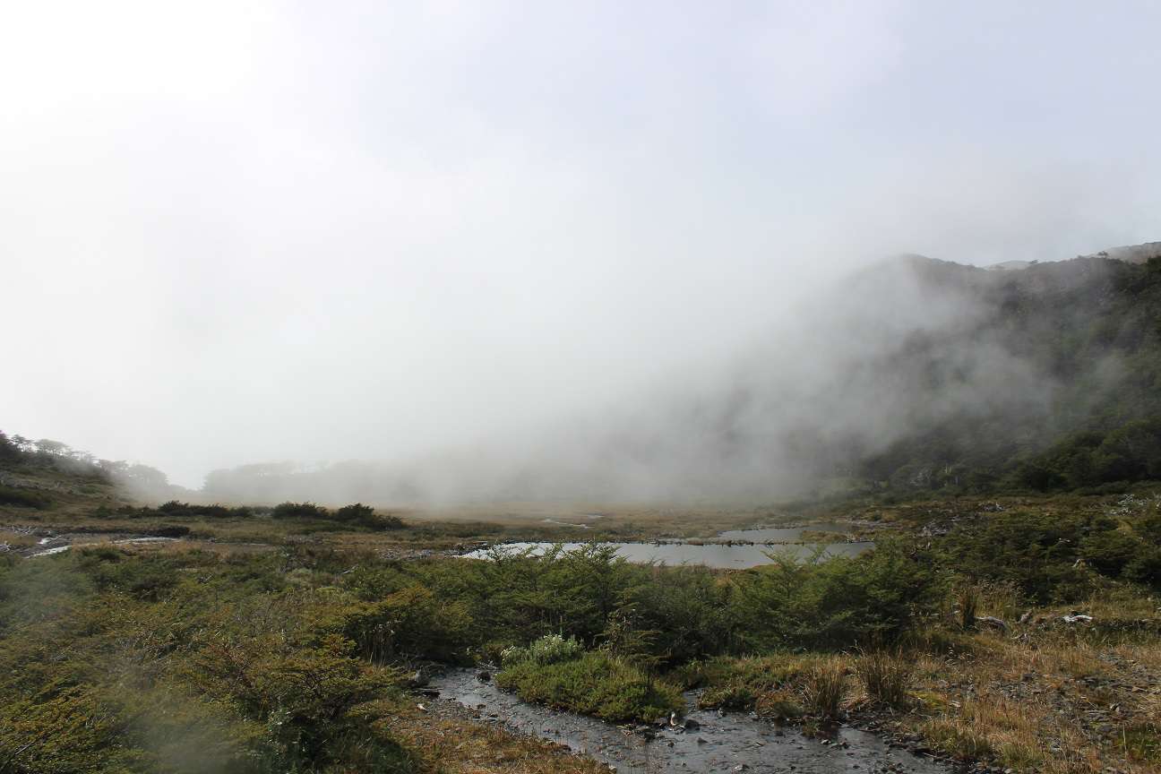
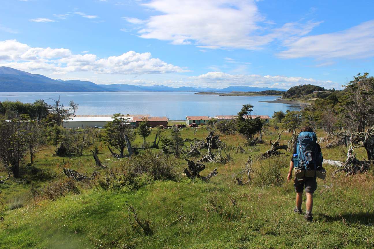
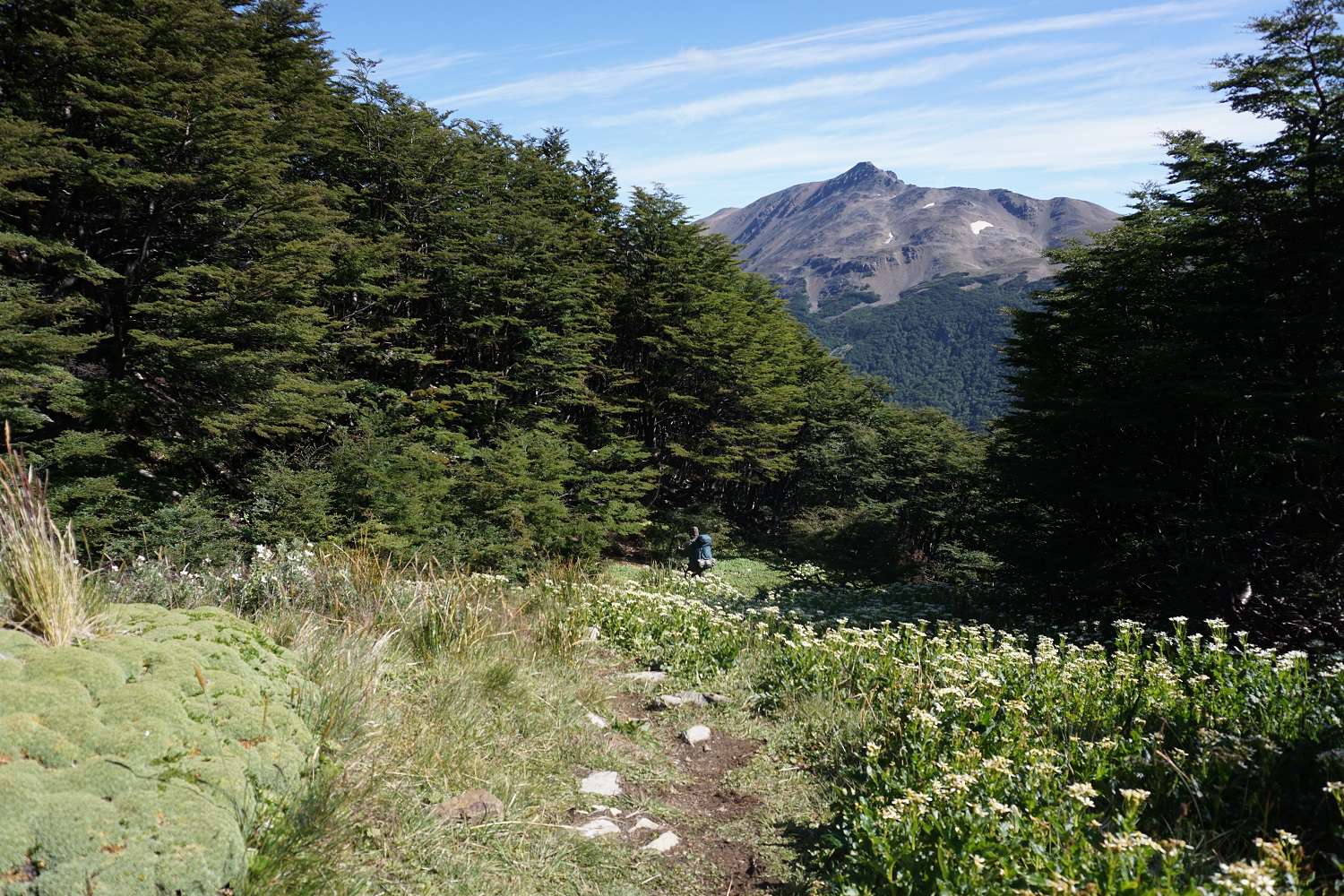
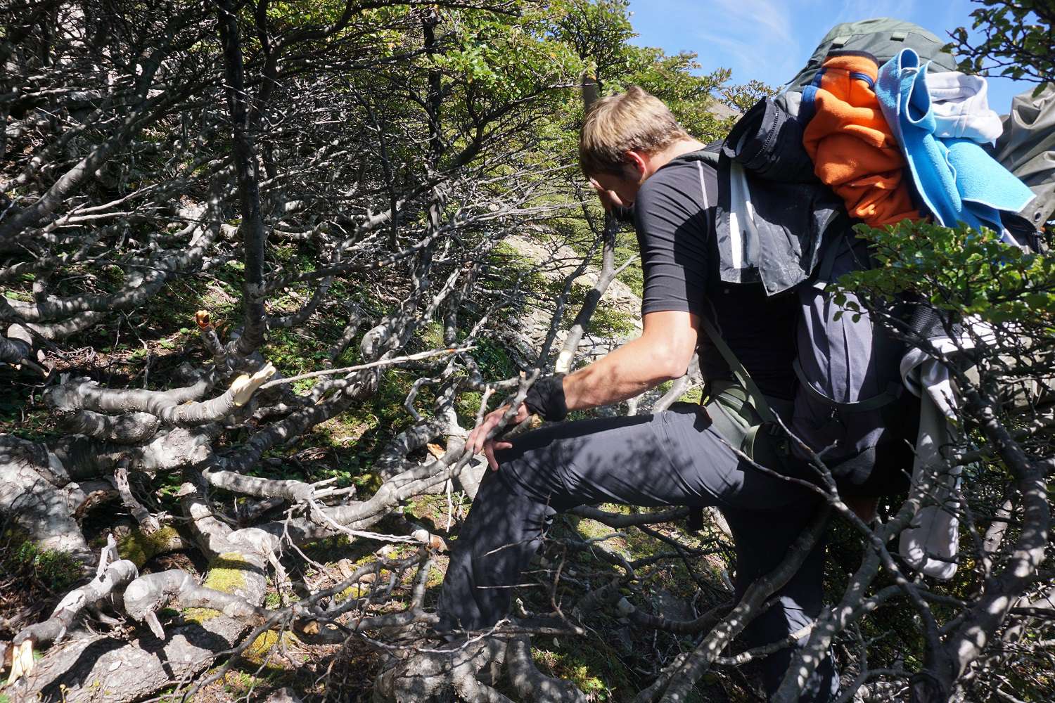
On the last morning, we pack everything up leisurely and start walking towards the end. We expect an easy descent, but on this trek, there is no such thing as easy. We struggle through dense forest, climb over meter-thick tree trunks, and find a way down to the coast. At times, we get stuck knee-deep in mud, and both Max's and my trekking poles snap under the strain. When we reach the road, we're lucky and a car stops for us right away. With a guilty conscience, we get into the vehicle covered in mud from head to toe and hitchhike back to Puerto Williams. When we arrive there, we change into fresh clothes and take a shower. What an adventure! The trek was exactly to our liking and was a lot of fun. We were at the end of the world and felt like it.
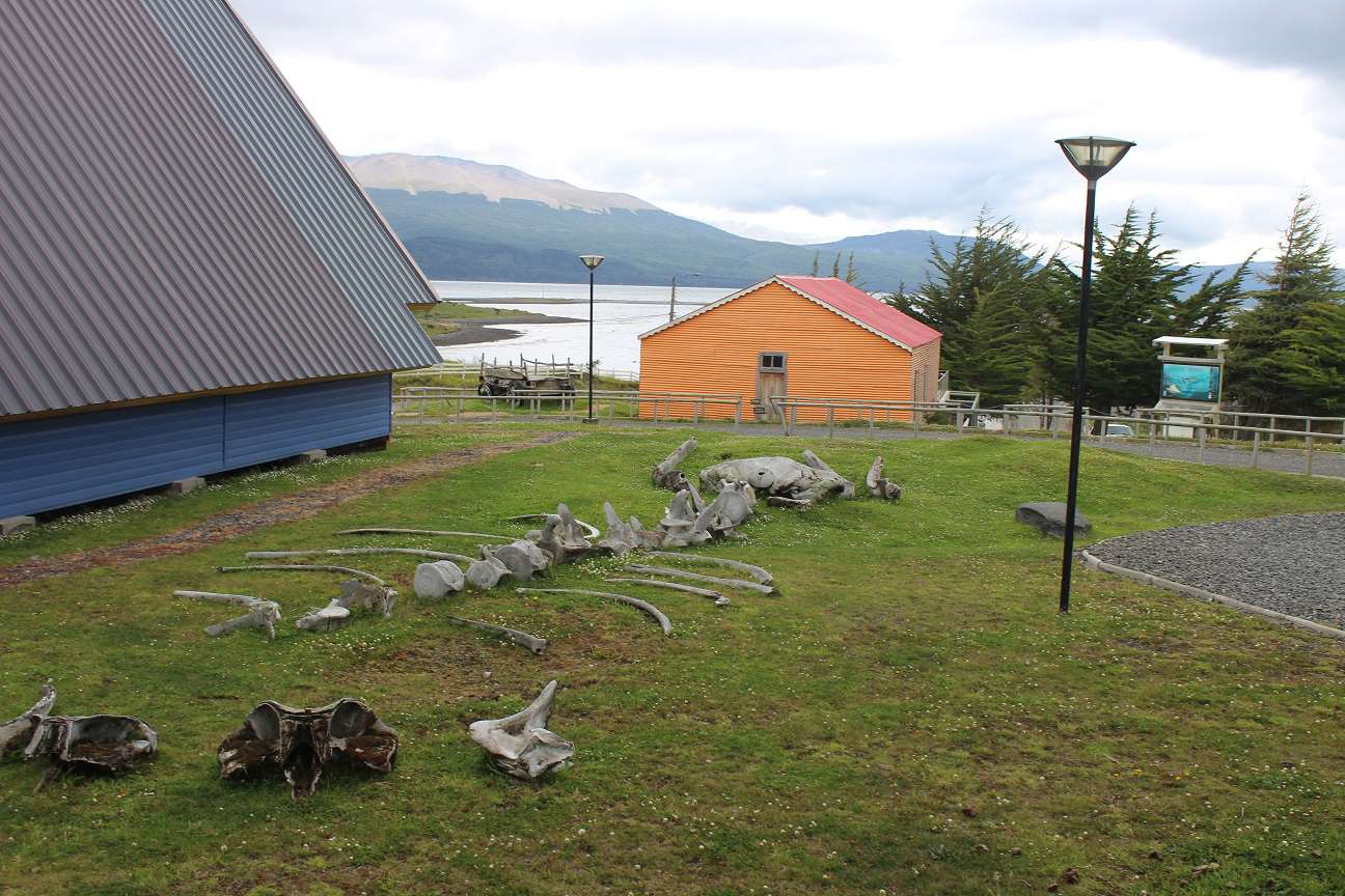
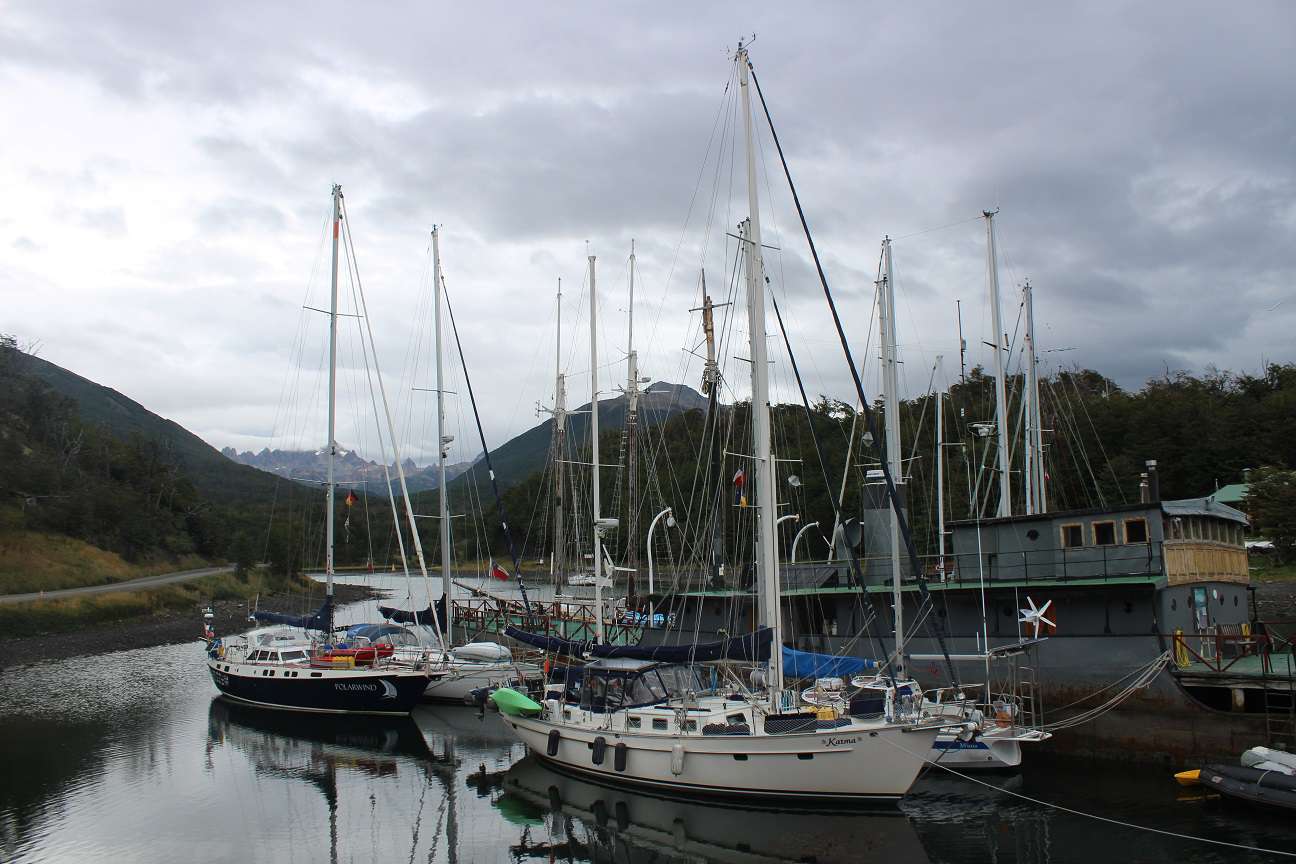
We use the next day to recover, treat ourselves to a good and hearty meal at one of the two restaurants, and go for coffee with the newfound friends from the trek at the cozy café by the harbor. From here, you have a beautiful view and can enjoy the gray drizzle weather in front of a roaring fireplace. The evening ends very funnily at the hostel. We meet Jemma and Maria from Barcelona and a funny Mexican guy. On the last day, we visit the small museum about the island's indigenous people and the first settlers and explorers of this area. Very exciting. We enjoy our days on the island, and I'm almost a little sad when we have to take our flight back the next day.
On the last morning, our hostel owner drives us to the airport, and behold, he also owns the airport kiosk. There is no stress at this airport. The plane lands and to my great delight, it's a small propeller plane (Twin Otter) that will take us back to Punta Arenas. We stroll leisurely across the runway, without any security checks, to the plane and board. Before takeoff, the pilot personally greets us and gives us a few brief instructions about the aircraft, and then we take off with the cockpit door open. The nice thing is that from our seats, we have a gigantic view of Tierra del Fuego as well as the cockpit, and we can see what's happening inside ;)
During takeoff, we also see why people were camping on the pass. There was a temperature drop overnight, and it has snowed above about 200m. Everything is dusted, but the peaks and passes are shrouded in low clouds. When you experience such a weather change, it is impossible to navigate the passes without GPS, and you have no choice but to wait it out. So, we were really lucky with the weather.
Soon, there will be more news from Punta Arenas. For now, we are nursing our injuries ;)
Best regards and see you soon.
Max and Marius
ਨਿਊਜ਼ਲੈਟਰ ਦੀ ਗਾਹਕੀ ਲਓ
ਜਵਾਬ
ਯਾਤਰਾ ਰਿਪੋਰਟਾਂ ਚਿਲੀ