Von Nürnberg nach Sylt mit dem Radl
vakantio.de/von-nurnberg-nach-sylt-mit-dem-radl
Day 9: The toughest stage - high up in the Thuringian Forest
ପ୍ରକାଶିତ |: 17.08.2021


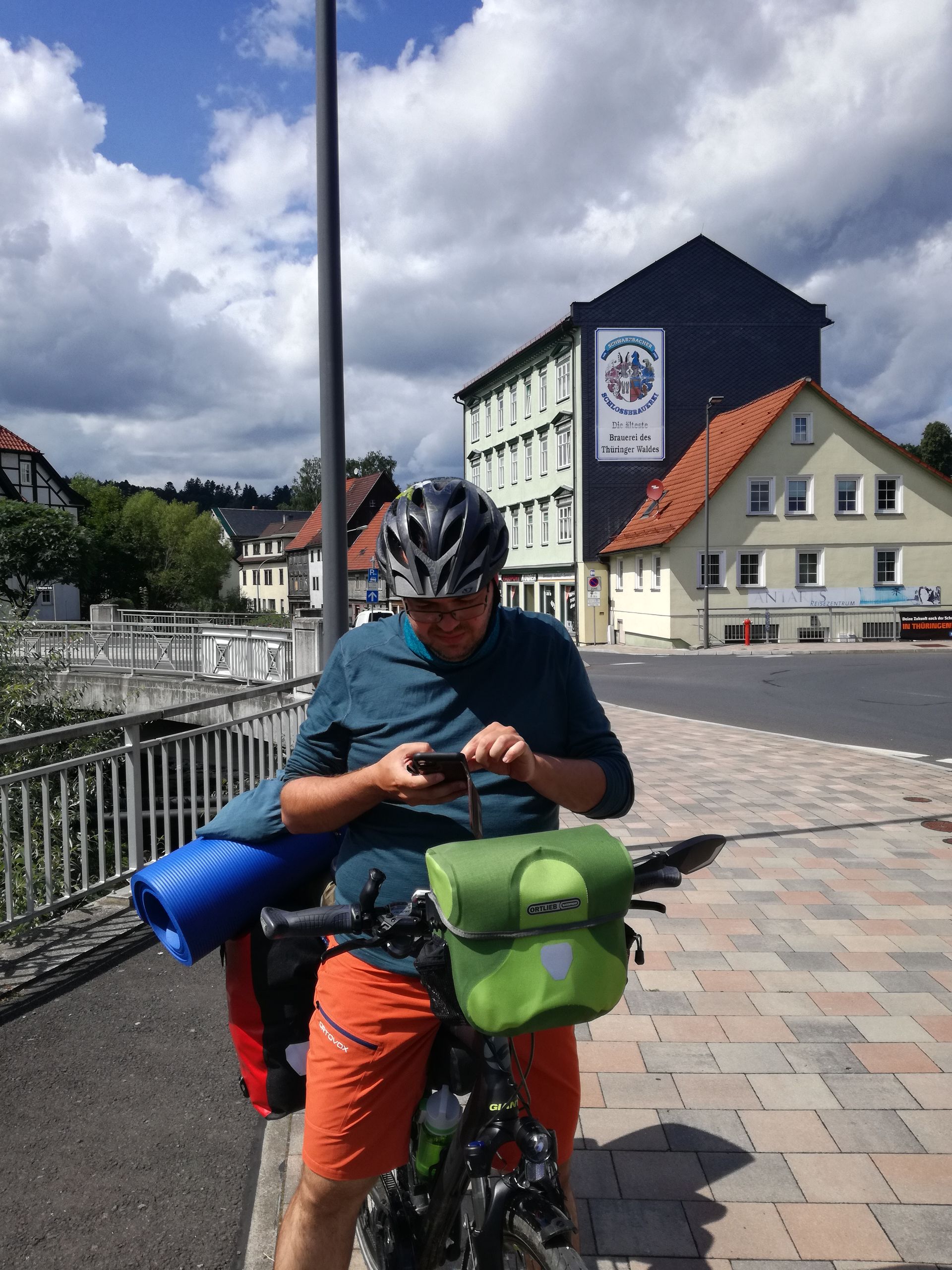
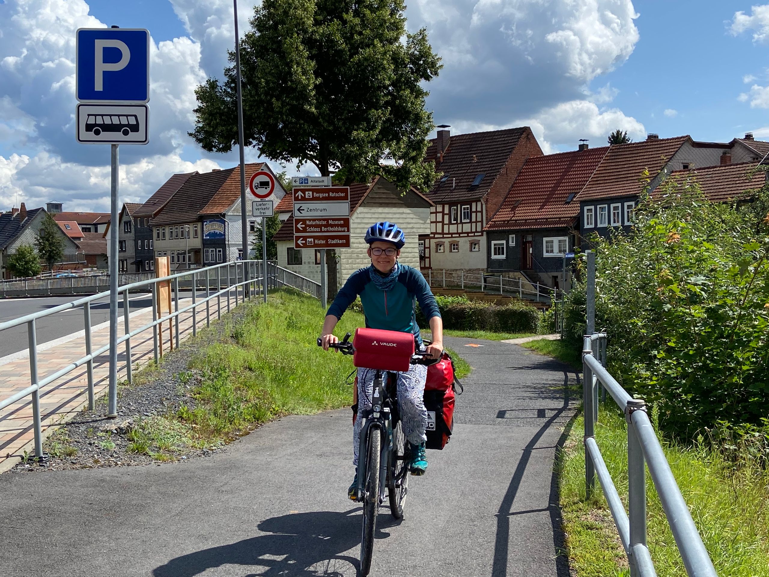


Today we went to the Thuringian Forest! It was already visible in the distance yesterday. Without breakfast and after waiting out a short rain shower, we set off around 11 a.m. with all our gear. Initially, there were no major climbs on our way. The weather was good and according to the weather forecast, it would remain so in the coming days. As per the rule of this year: 'When going uphill, the sun shines. When going downhill, it rains or it is cloudy and cold.' So we rode a short section of the Werra Cycle Path, crossed the narrow Werra River at Harras, and enjoyed the slightly hilly landscape. At Brattendorf, we finally bought our breakfast at an Edeka supermarket, as well as more supplies and provisions. We cycled a little further, passing the Schlossbrauerei Schwarzbach, until we reached a quiet and beautiful spot for breakfast. After a half-hour break, we continued our tour towards Schleusingen/Suhl, fully fueled. Fortunately, we continued on a bike path without challenging climbs. After the hearty breakfast, we probably would have rolled down steep climbs effortlessly.
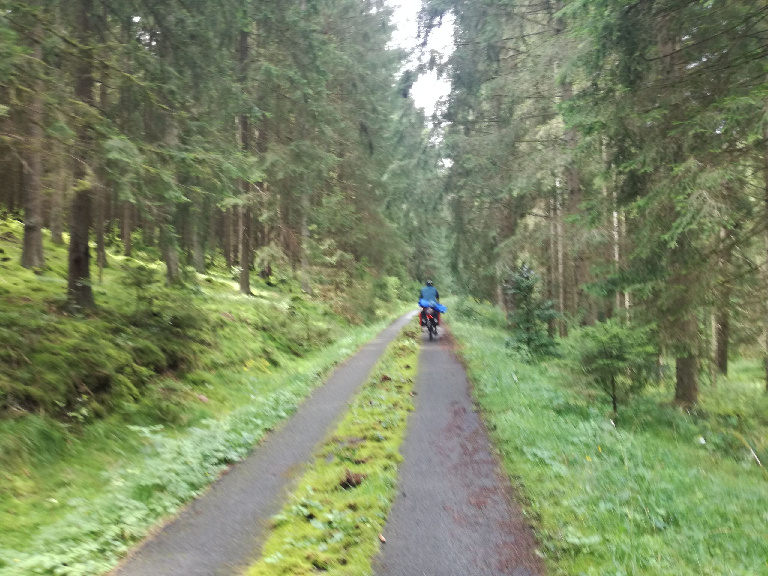
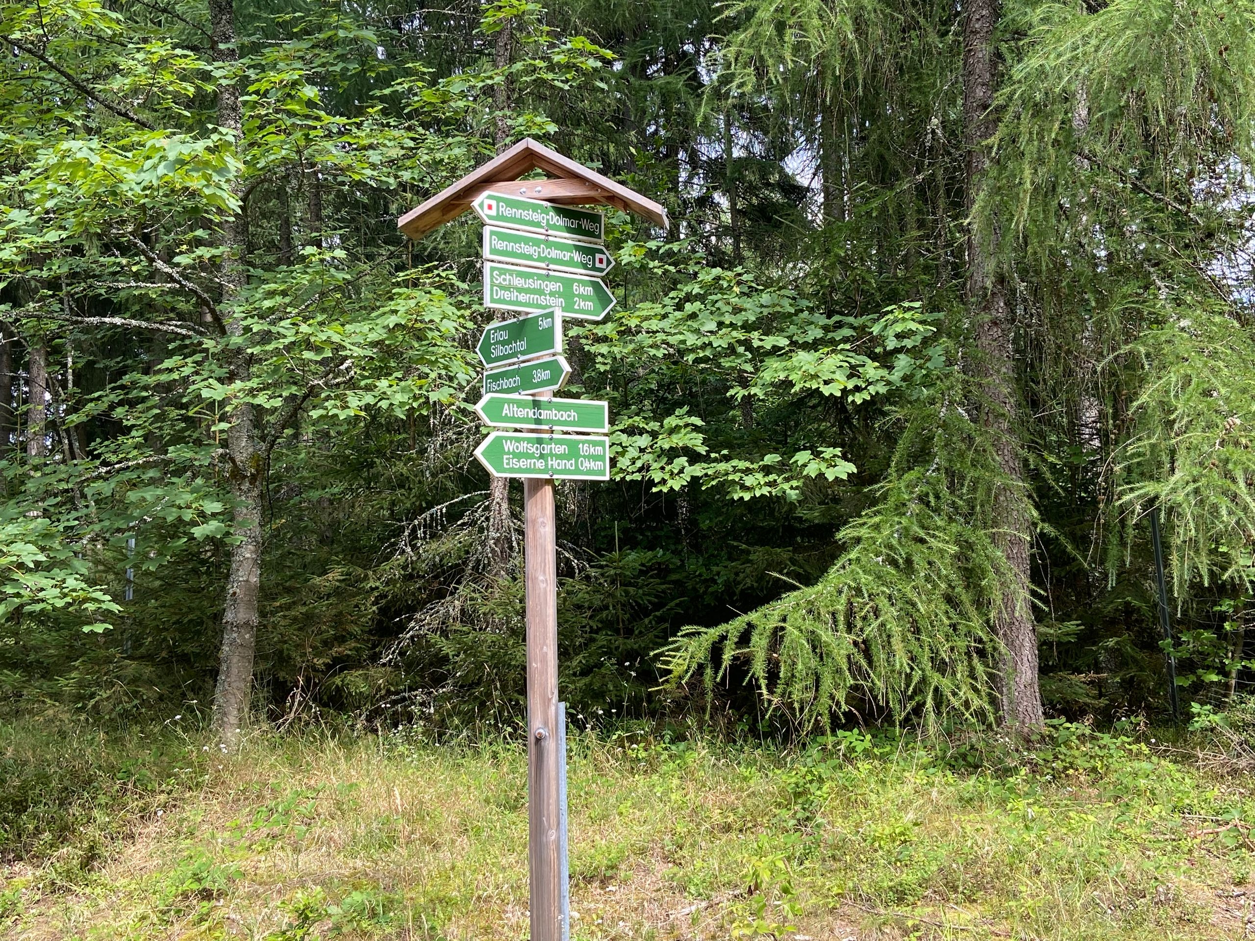
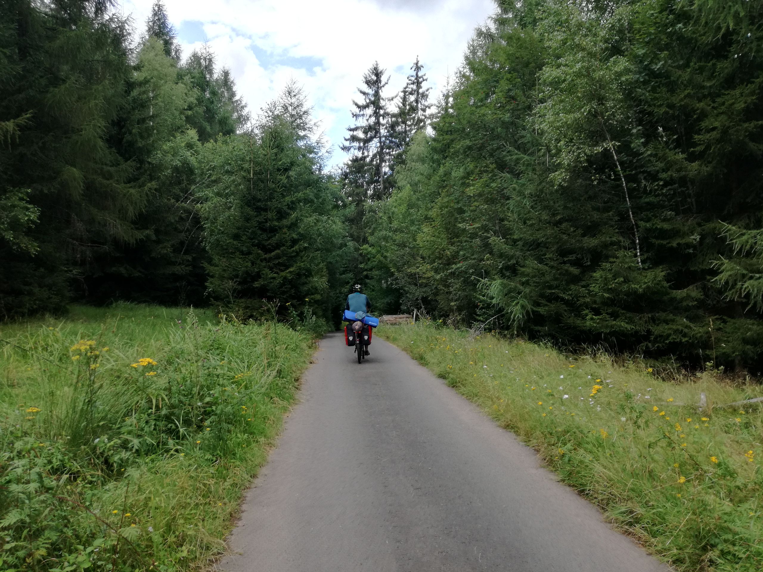
We continued past the Ratscher Bergsee and the Bertholdsburg Castle in Schleusingen. Schleusingen practically marked the entrance to the (small) Thuringian Forest. Shortly after 2 p.m., as we headed towards Suhl via Fischbach and through the 'long valley', we climbed up to the Donners-Berg on the Rennsteig-Dolmar Trail. When we saw the first meters of the corresponding climb, we also saw the sign 'Eiserne Hand' (Iron Hand) pointing in the direction we were supposed to go. The name was definitely fitting because we had to climb more than 250 meters in altitude over a distance of 8 km. It was exhausting. In addition, we were followed by a horsefly, which unfortunately managed to sting Janina on the elbow. Jörg had already sprayed repellent on his legs and clothes and was also riding slightly ahead at a faster pace. Mosquitoes and horseflies motivate him to ride faster :-) So Janina was definitely the easier target. When we reached the little monument of the Iron Hand (a hand made of iron pointing towards the sky), we took a short break to catch our breath. There was a bench with a roof, and it looked peaceful, not chillingly iron-like :-) By the way, there are several explanations for the 'Iron Hand'; for example, that it was a place where draught and pack animals were exchanged.
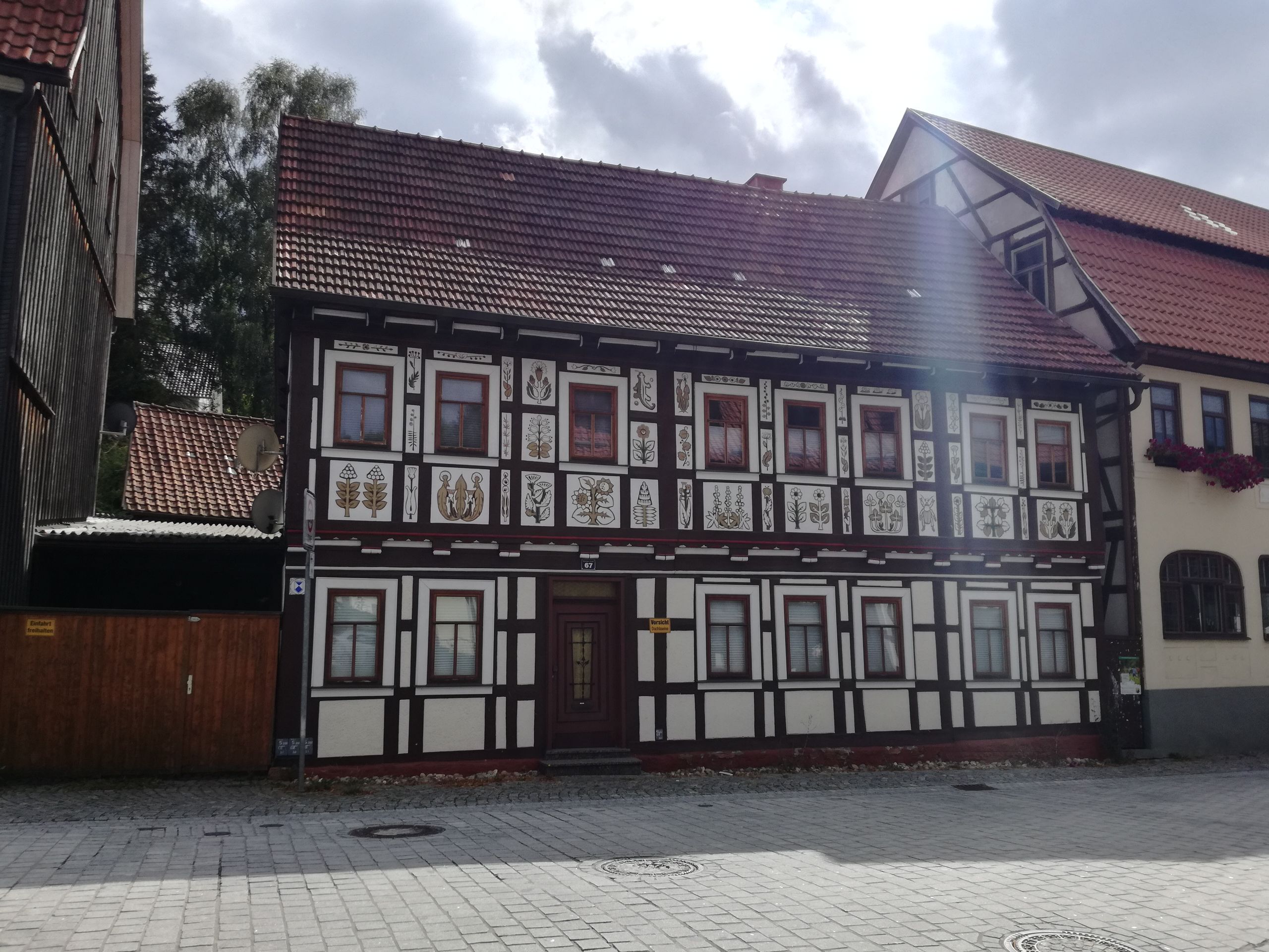
We continued downhill towards Suhl, losing the hard-fought 250 meters of altitude, unfortunately! The weapons city of Suhl felt like it consisted of several apartment buildings, a bus station, and a shopping street where some cafes were not open at all or closed their shutters at 4:30 p.m. Suhl also had some half-timbered houses and traffic light men from the GDR era. Finally, we sat down in the outdoor area of the 'Cafe & Bar Delphi'. They had a good selection, but the service was unbelievably slow. So we simply left the money to be paid on the table since the bill took a very long time to arrive. While we were sitting there, enjoying our drinks, the sun was scorching us. When we set off again, it disappeared and what came along? Rain clouds, of course, even though we were going uphill...
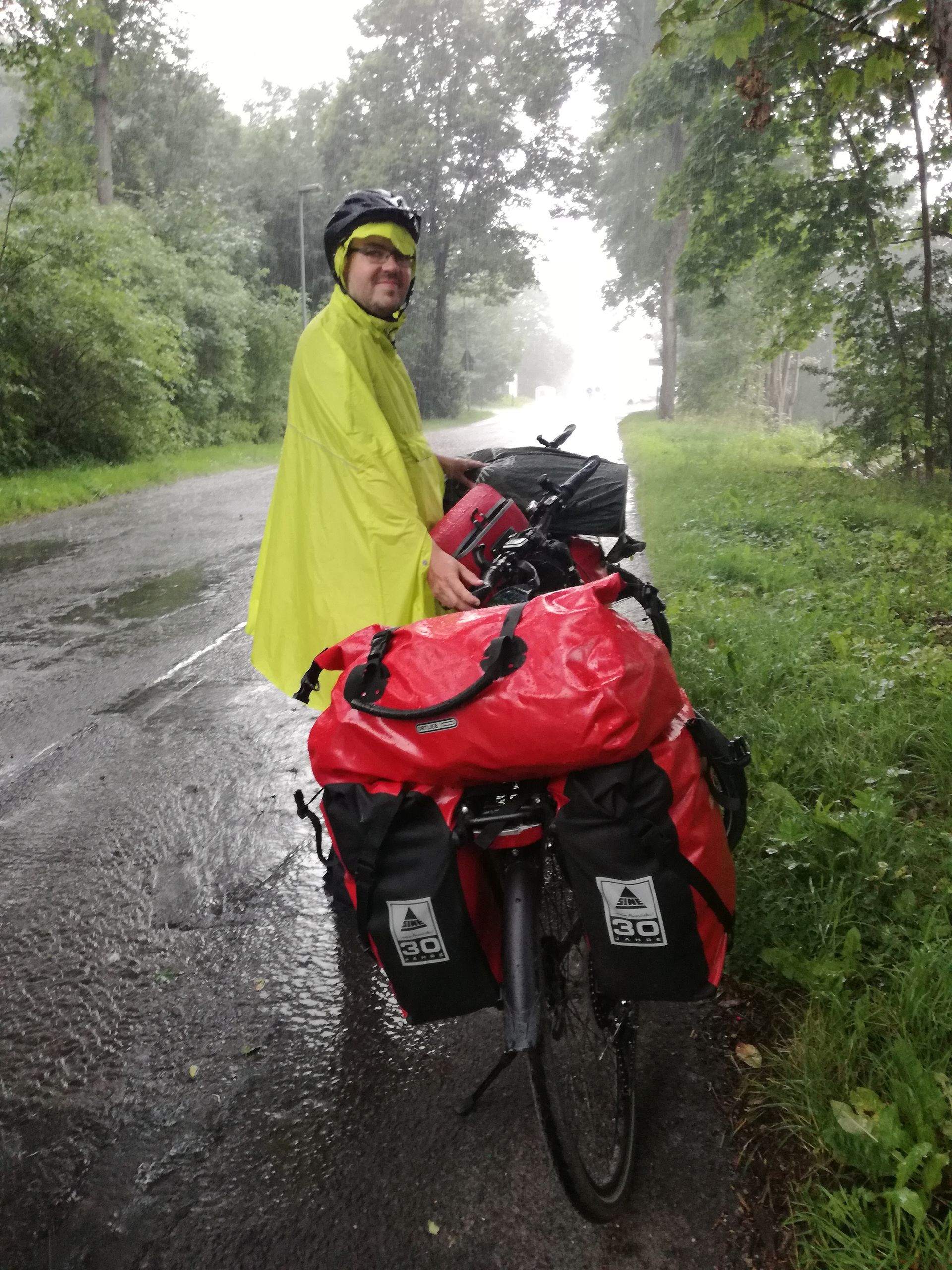
The next town before Oberhof was Zella-Mehlis, a few kilometers away from Suhl. However, the two were separated by nearly 200 meters of altitude. We pedaled hard as the rain clouds were hanging ominously close to us. When we reached the last climb before the train station at the entrance of the town, it started pouring rain. We quickly put on our rain ponchos and shoe protectors. So we stood at the edge of a relatively calm road under a tree, which initially also kept us dry from raindrops. After a few minutes, however, we were wet from above and below. We continued to the next bus stop, hoping for a little more shelter. We had also decided not to ride further to Oberhof by bike since it was already almost 6 p.m. So we skipped the next 8.5 km and nearly 290 meters of altitude by taking a bus. We probably wouldn't have been able to complete that stretch before dark, even if we had left earlier in the morning. We were the only passengers on the bus by the way :-)) That was a good thing because with our two bicycles, we completely blocked the rear entrance and the aisle between the seats. However, this area was also very small. By the way, while we were waiting for the bus, the rain stopped and the sun came out again, so we were able to dry a little. But during the bus ride, there was another rain shower - what changeable weather!
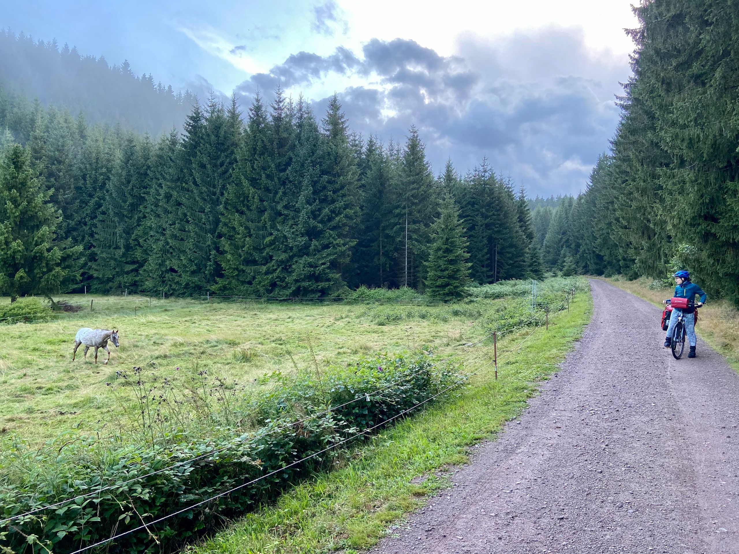
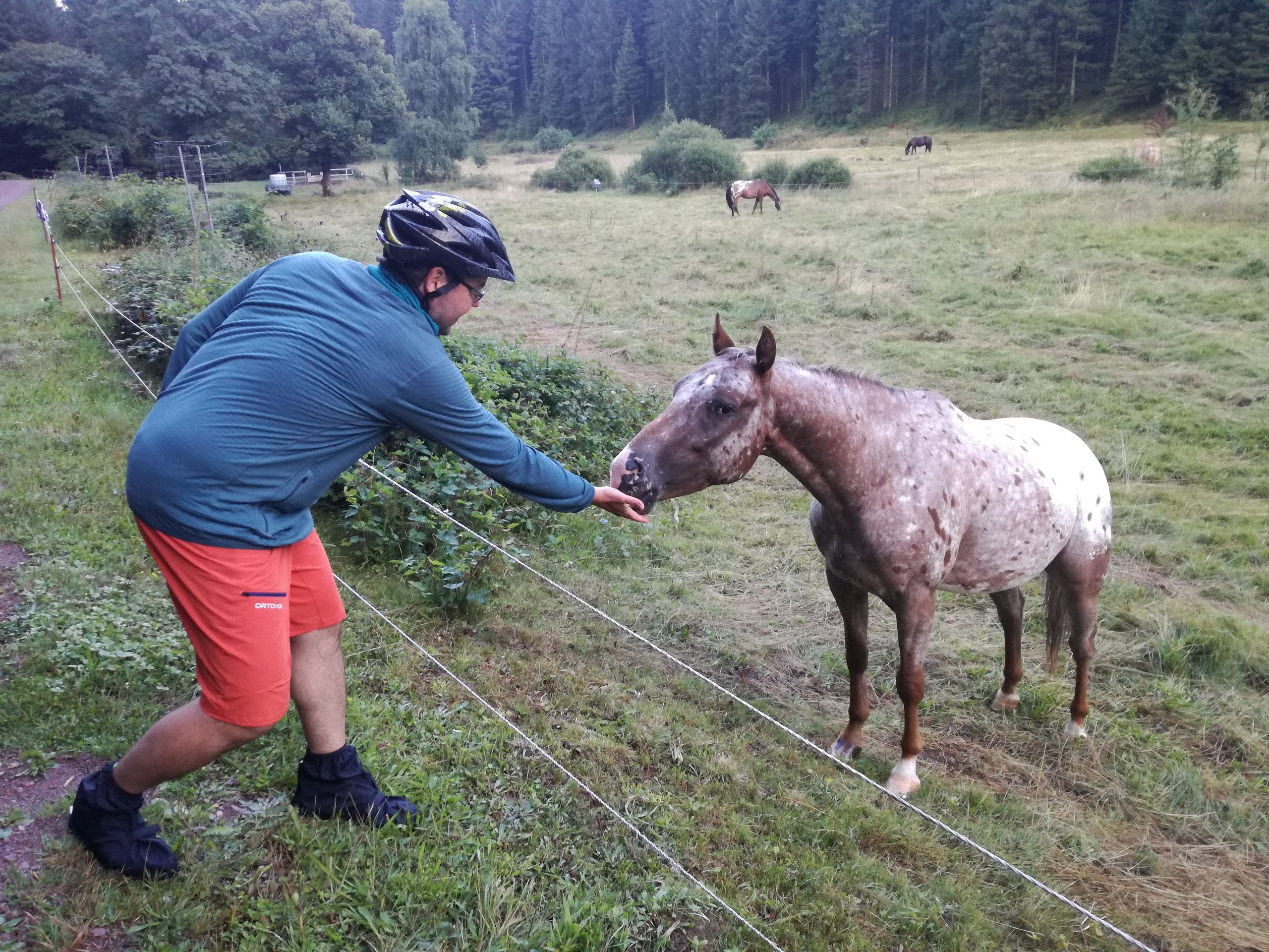
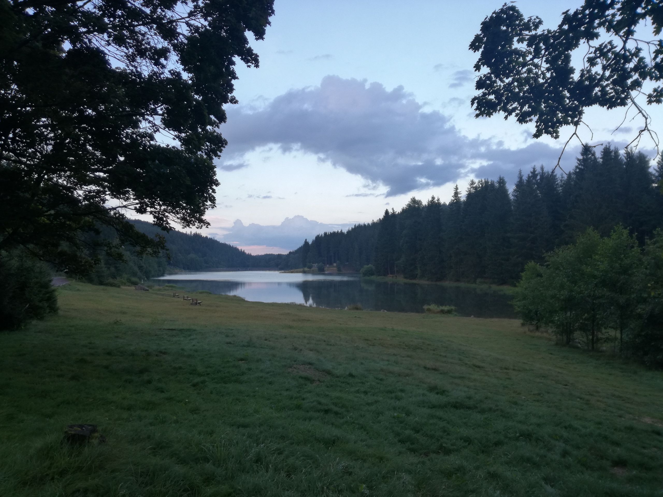
We arrived in Oberhof after about 30 minutes. And at that point, we realized that it was the Oberhof that is a well-known German winter sports center (especially for biathlon, bobsleigh, and cross-country skiing). The view up there was beautiful and it was noticeably colder. But we hadn't reached our destination for today yet! However, first we went in search of something to eat. Despite some summer tourists, many restaurants were closed. They wandered around like us, trying to find a place in the few open restaurants. At the restaurant 'Beim Waldschrat', we were able to score with the waitress thanks to our cycling gear and our hungry and wet faces, and we ordered takeout food. While we were waiting for our food, about 30 people arrived in small groups and then left again because the restaurant was already fully booked. In addition to pasta and potatoes, we also had something called 'Kloßpommes', which is a local specialty. With our food in hand, we practically just had to roll down to the campground at Lütschesee. The path through the forest was foggy and damp. On the way to the reservoir, we passed a few horses; one of them was curious and was fed a half-eaten, sour apple by Jörg :-)) You should always have an apple in your pocket!
The campground was very large and the tent area was also well occupied. Nevertheless, we found a pretty good spot next to a bench. It stayed dry while we set up our tent. As we ate our warm treats from Waldschrat, chatting with our tent neighbors, it started pouring rain again. What weather! At least we were able to sleep well, it was also a very exhausting day!
At this point, it should be mentioned that the indicated meters of altitude are always just the meters of ascent!
Data for Stage 9:
Distance: 55.1 km
Riding Time: 5:02h
Average Speed: 10.9 km/h
Max. Speed: 34.8 km/h
Altitude Gain: 714 m
ଉତ୍ତର