Volcano hikes in Quetzaltenango
ପ୍ରକାଶିତ |: 07.09.2018


ସମ୍ବାଦପତ୍ରକୁ ସବସ୍କ୍ରାଇବ କରନ୍ତୁ |
The three days in Panajachel went by quickly and were mainly used for resting and planning for the rest of the trip. More about Pana and Lake Atitlán in the next report, as I will return there.
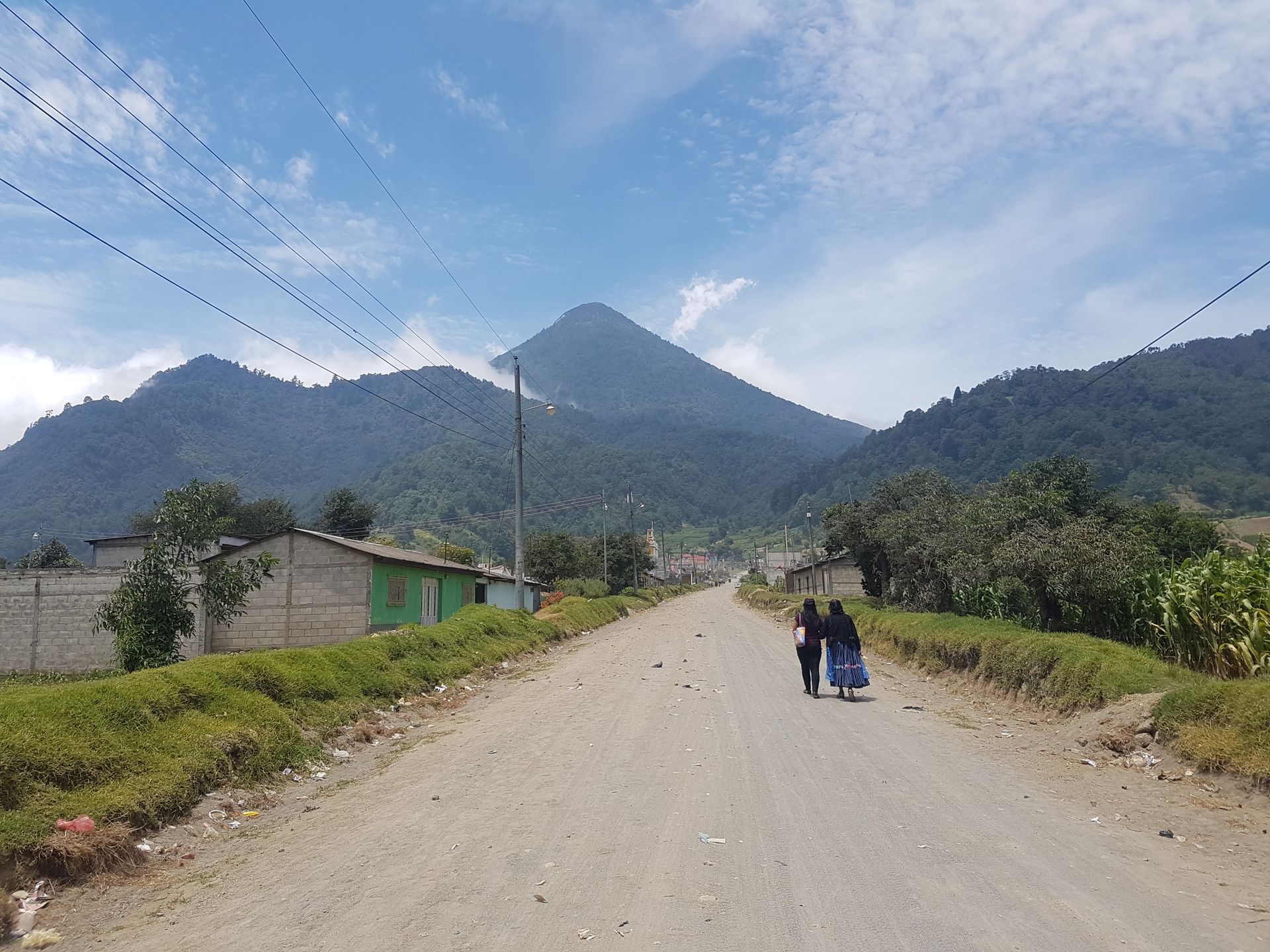
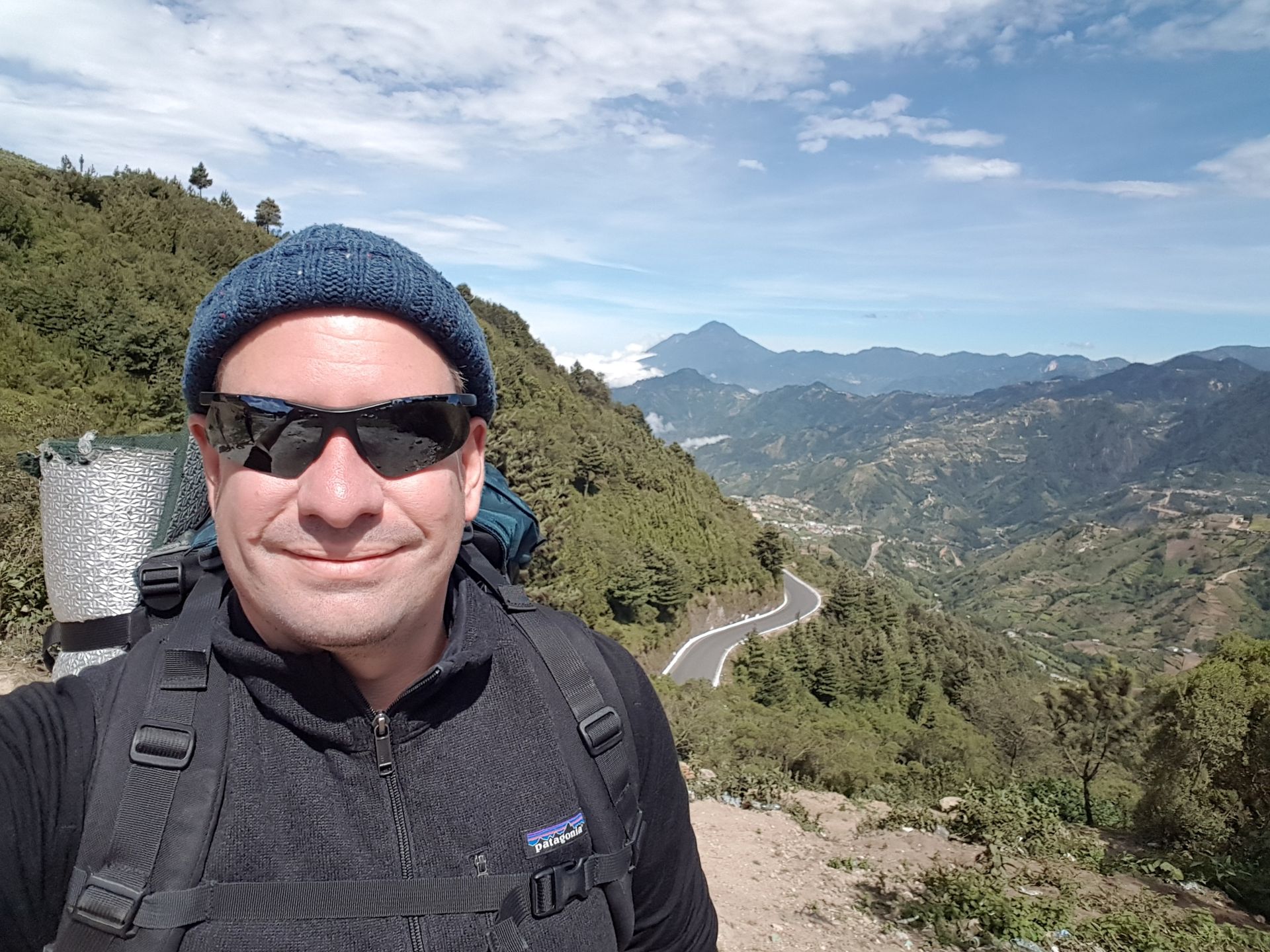
Since I had been wanting to use my hiking equipment for a long time, which had been untouched in my backpack so far, the decision was quickly made to continue to Quetzaltenango (shortly called Xela, pronounced Schela). This second largest city in Guatemala is located in the northwestern highlands at an altitude of 2300m and is surrounded by several volcanoes.
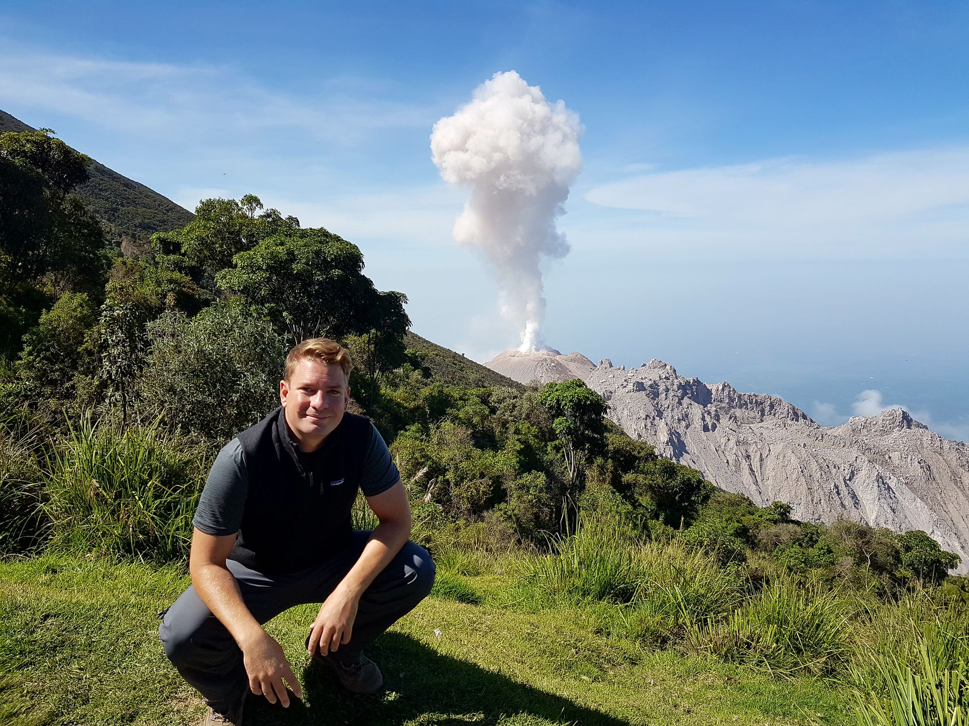
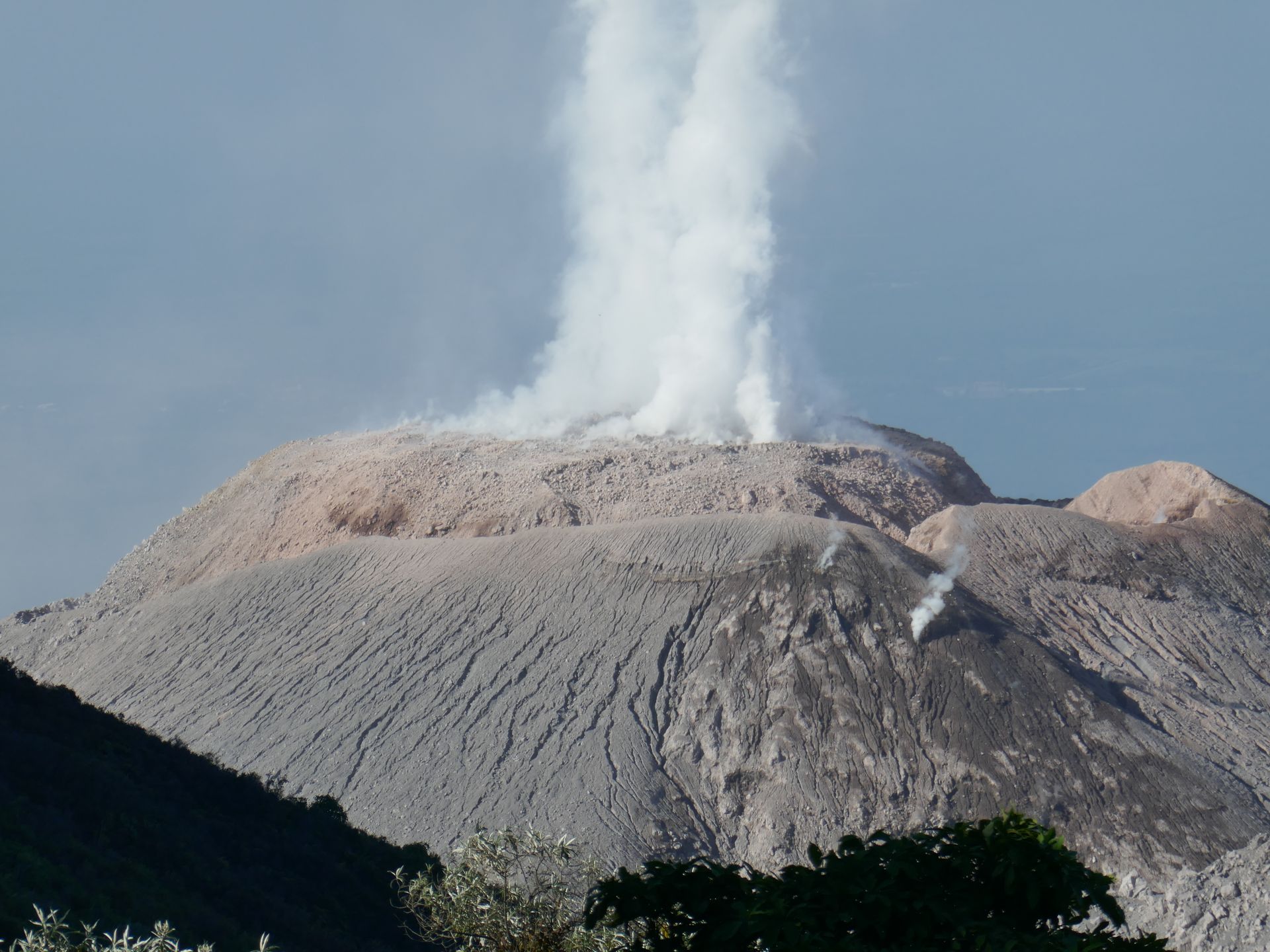
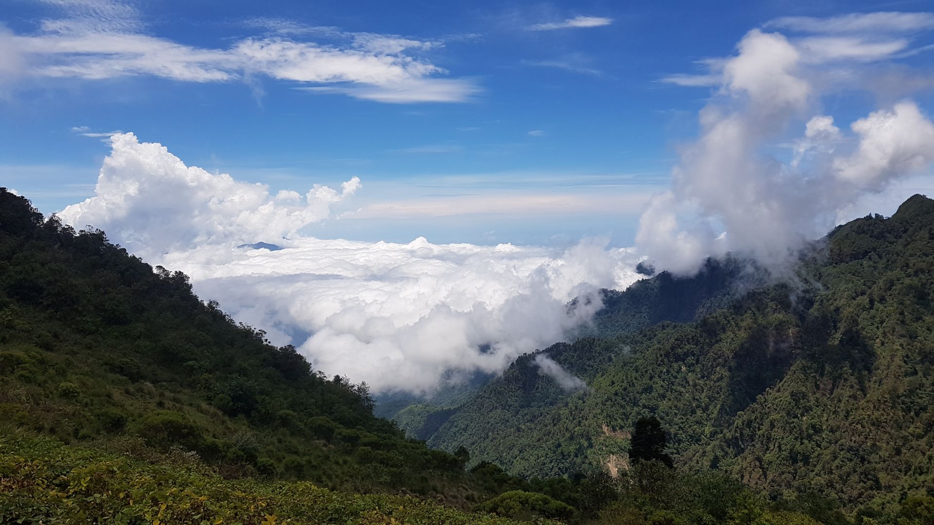
The most striking one is the Santa Maria, which heavily destroyed the city in the early 20th century. Since then, it has not erupted, but on its backside, the lava dome Santiaguito is forming, which is still constantly growing. Additionally, it erupts regularly, approximately every hour it throws ash, smoke, and gas. Of course, such a spectacle cannot be missed. The hike to the Mirador (the viewpoint) of the Santiaguito is an easy half-day hike and therefore perfect for beginners. And we were lucky, both with the weather and the eruptions. Since I am traveling permanently in the rainy season (April to November in Central America), there is a high chance of getting wet. But on this day, it was sunny and we were able to observe two eruptions from a safe distance. What an experience!
This got me hooked on volcanoes, and I immediately signed up for the next (big) hikes.
The organization that offers these tours is called Quetzaltrekkers (www.quetzaltrekkers.com) and is a charitable organization that funds a school with a home for street children, children from poor or difficult circumstances, or from remote areas. The tour guides are mostly travelers who work here as volunteers for at least three months. The entire profit goes into the school project, which provides education for over 180 children. The slogan is 'hike volcanoes, help kids'. So here you don't just hike for fun but also for a good cause.
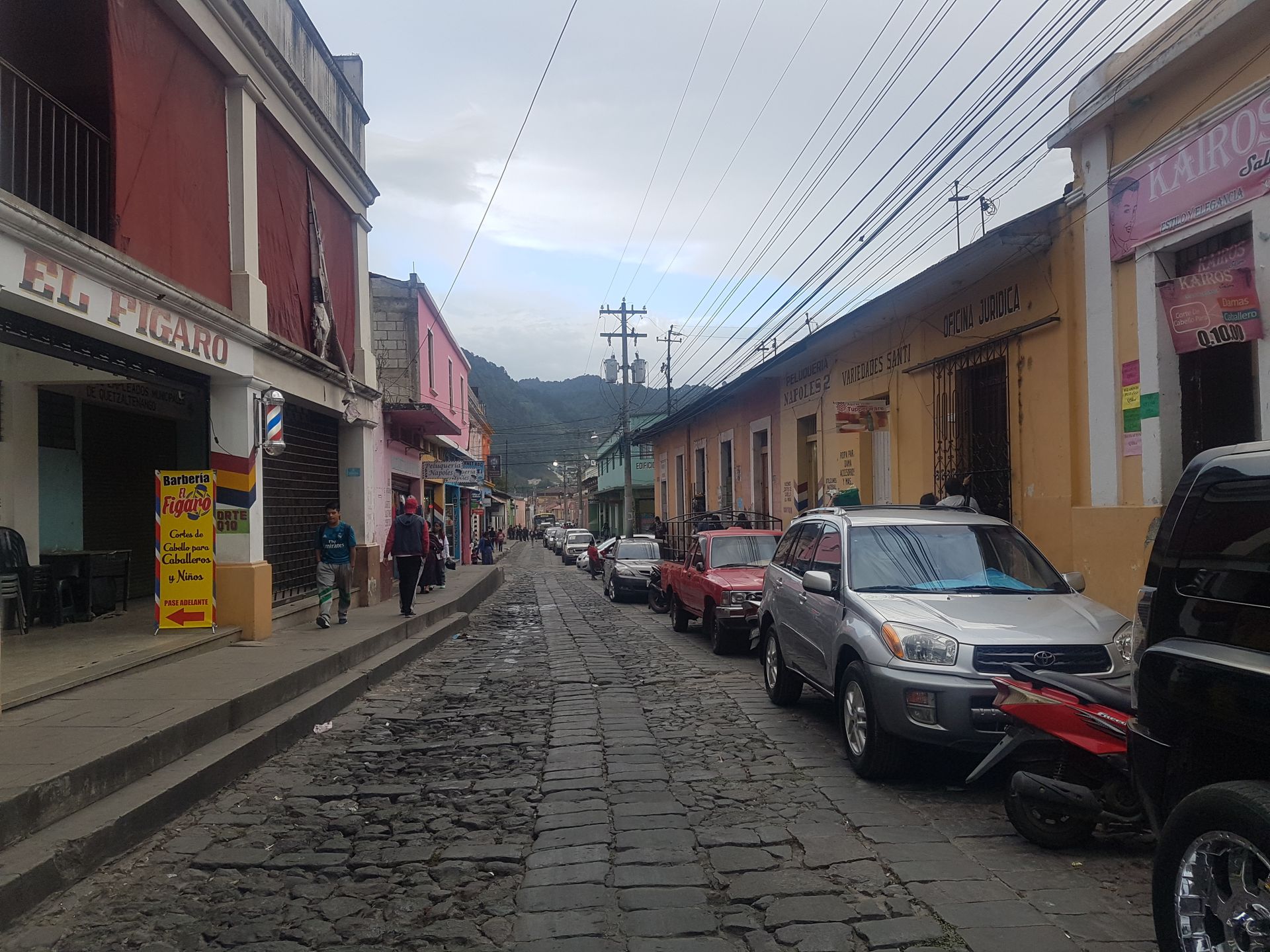
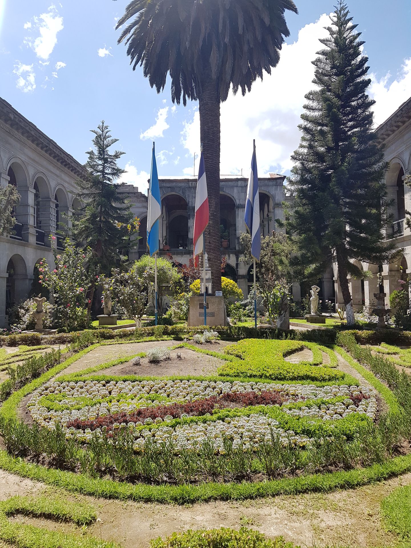
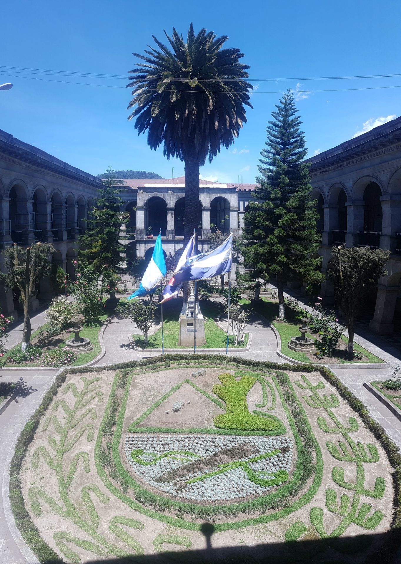
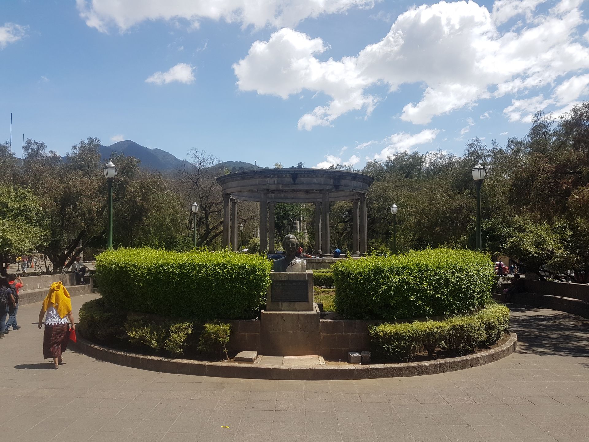
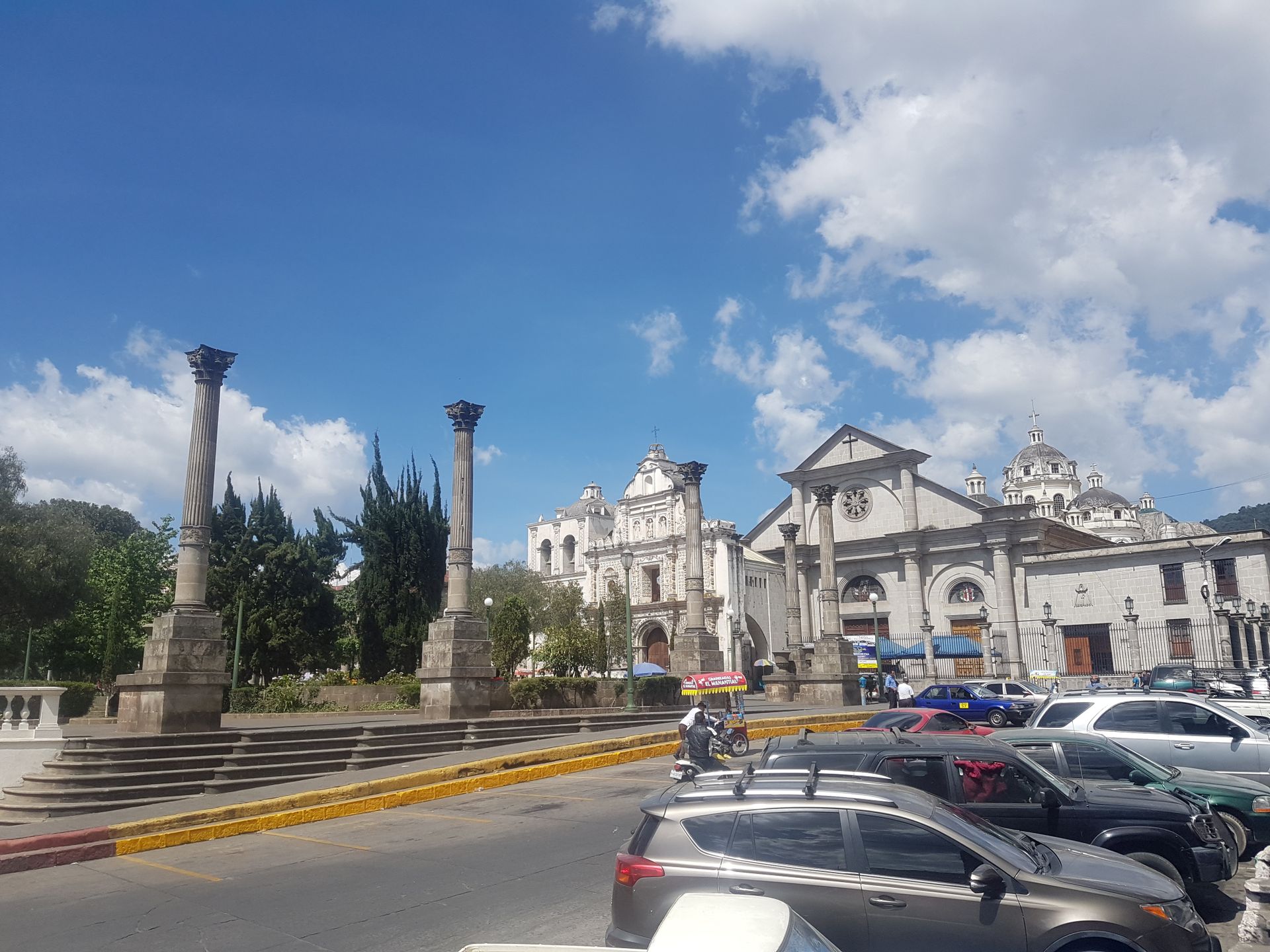
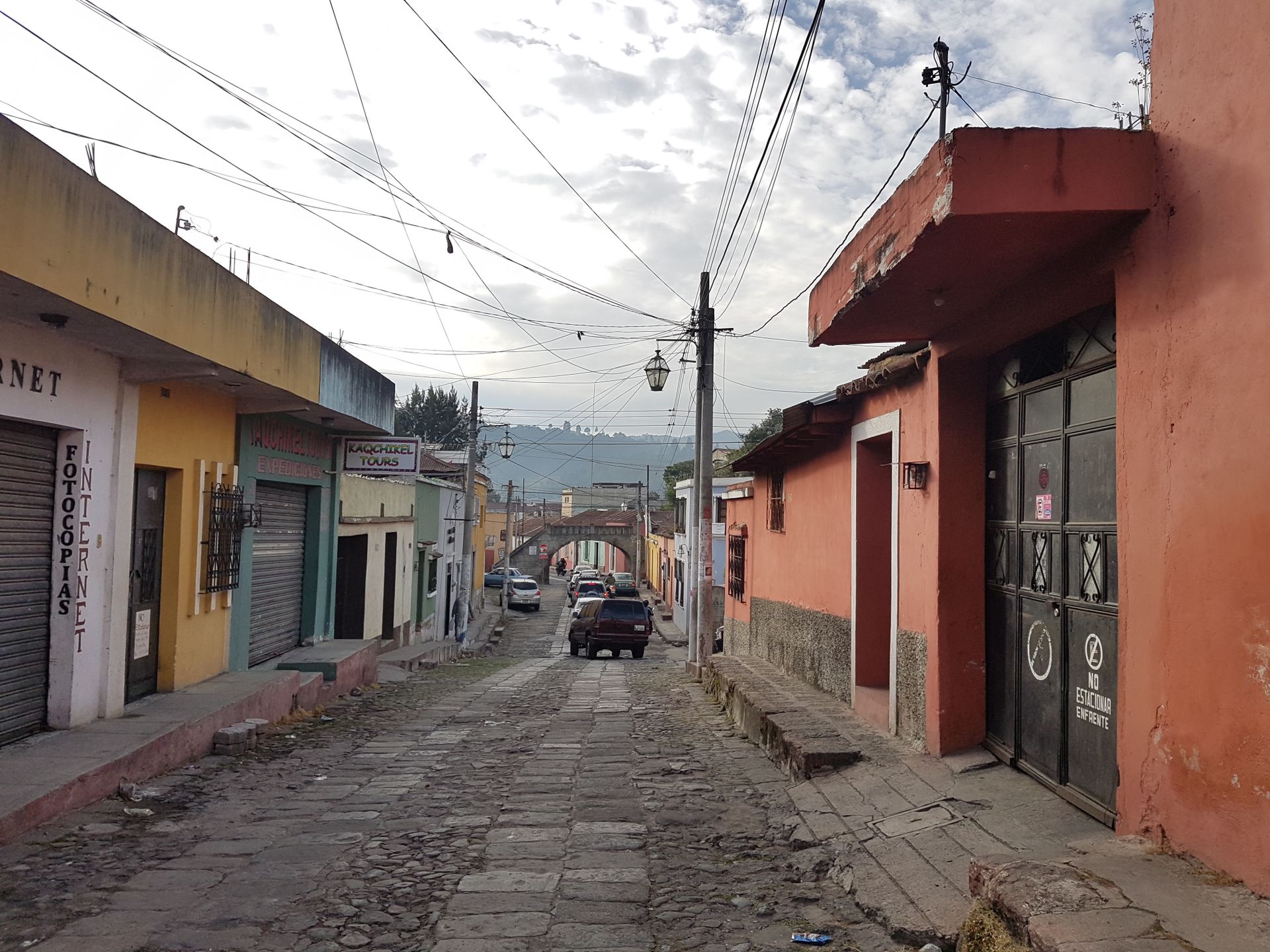
But until the next hike, there was still a rest day to explore the city. It is not very spectacular. A large part of it was destroyed by the aforementioned volcanic eruption. The facade of the old cathedral was left standing while the new cathedral was built behind it. In addition, there is the central park and the monumental town hall, which was built by German immigrants and does not fit in here at all but has a very beautiful courtyard. A few pretty alleys and good restaurants complete the picture. Overall, it is a very calm, but safe city.
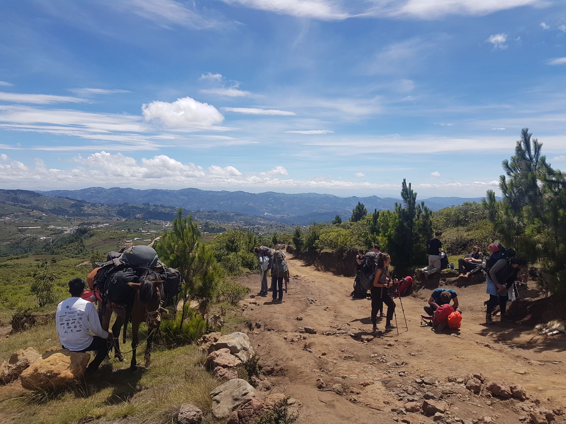
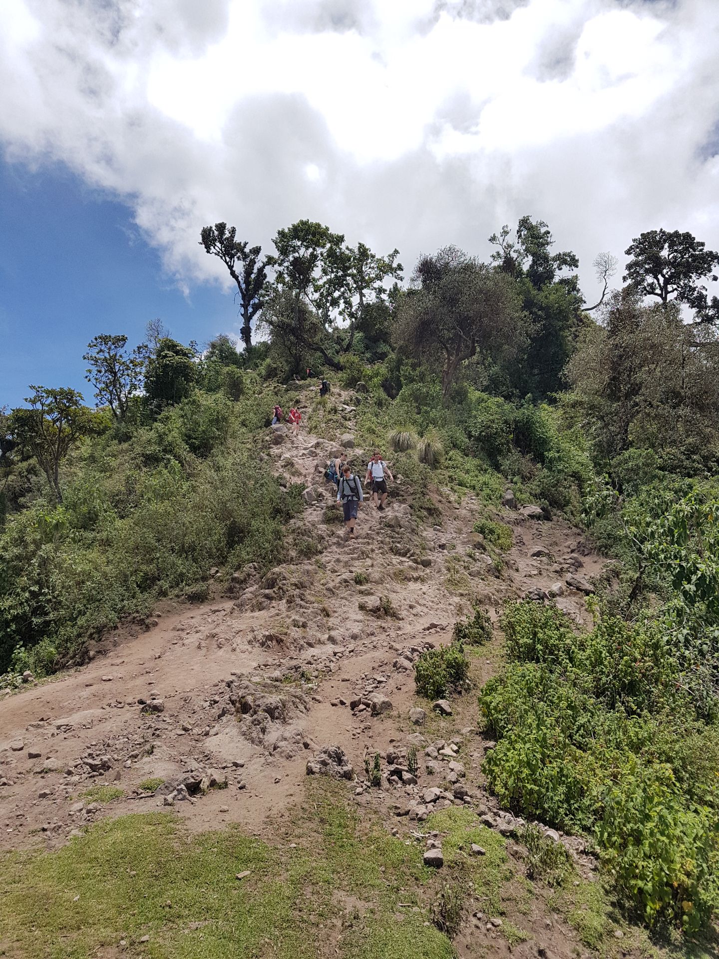
The second hike was much more demanding than the first one. It went over two days to the highest point in Central America, the inactive Tajumulco Volcano with a height of 4220m. With a fairly large group of 16 people + 2 guides, we first drove three hours by minibus towards the Mexican border. So, I was only a few hundred kilometers away from San Cristóbal, where I had been a few months before. I haven't traveled very far yet...
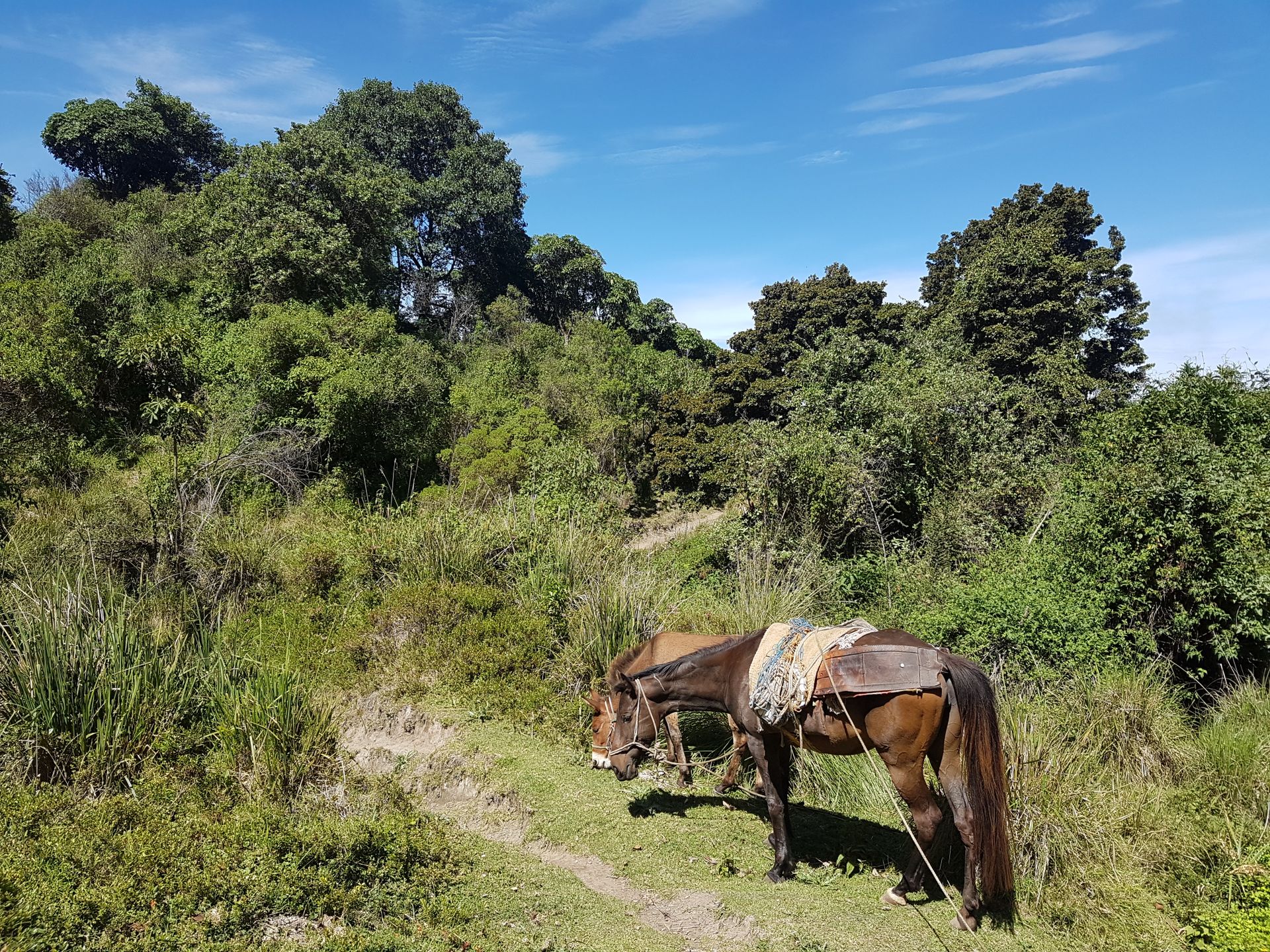
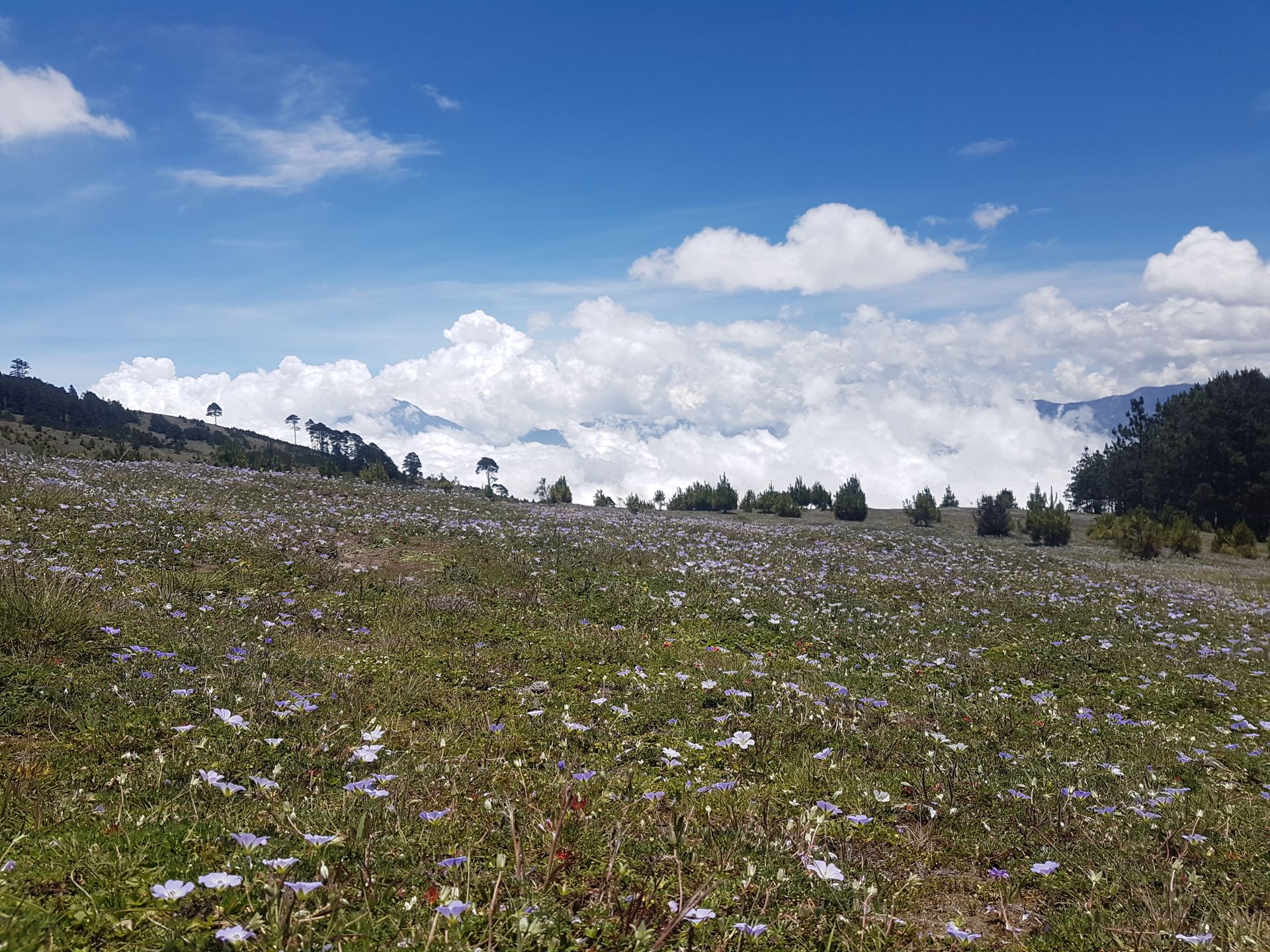
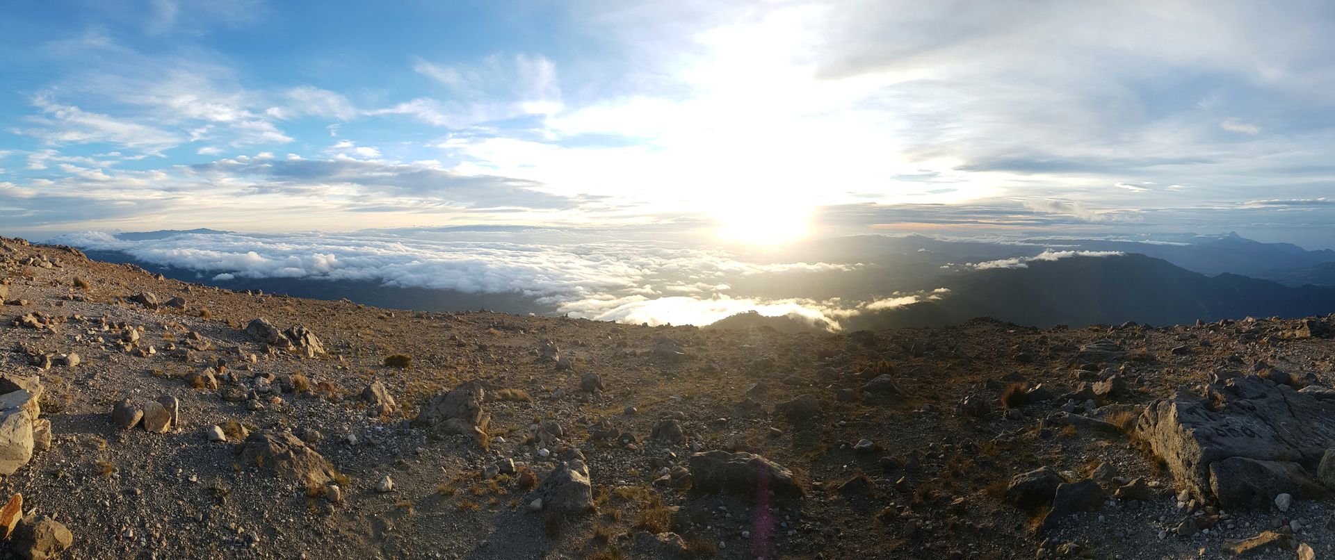
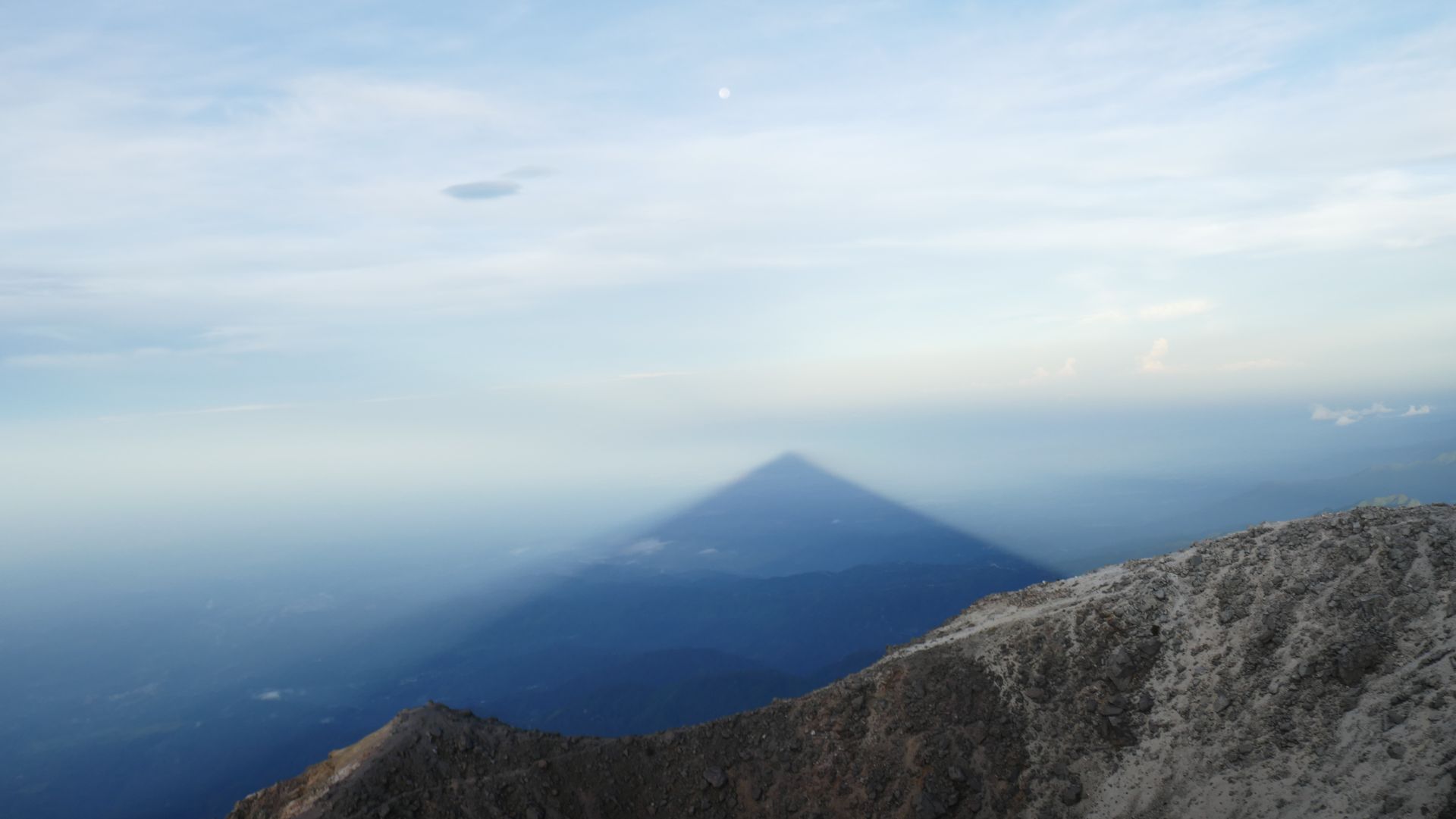
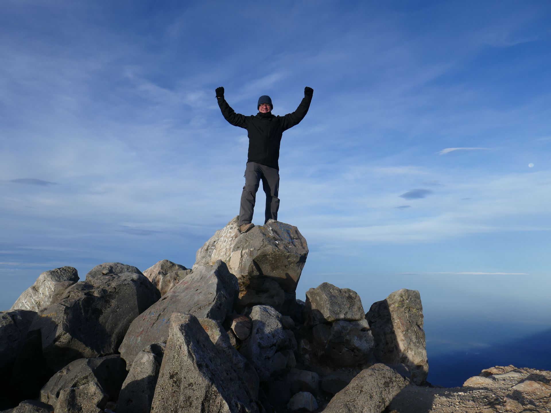
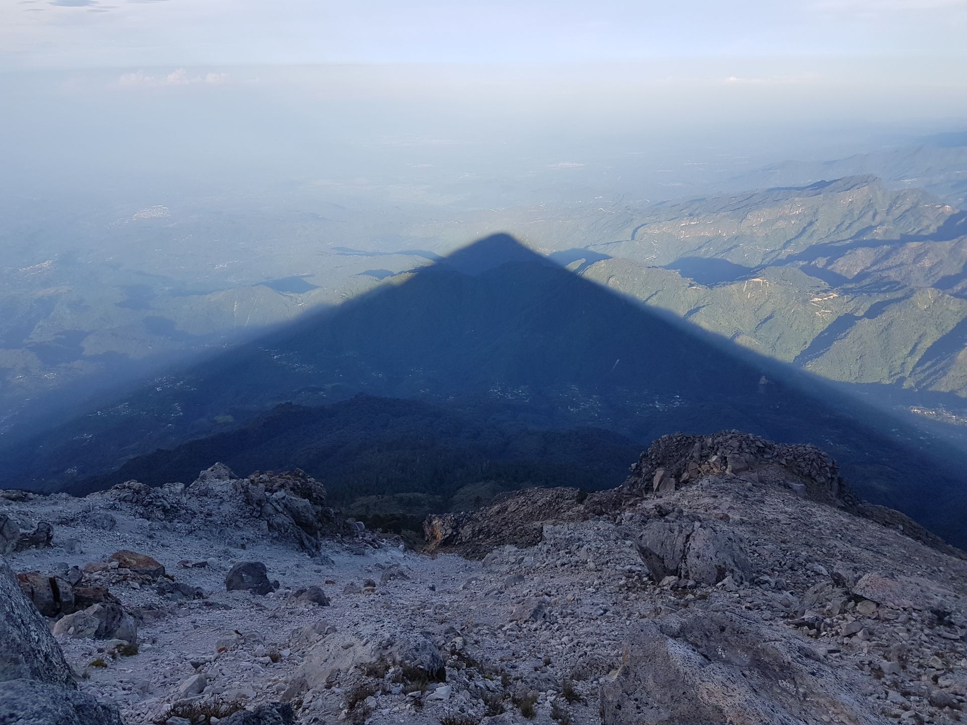
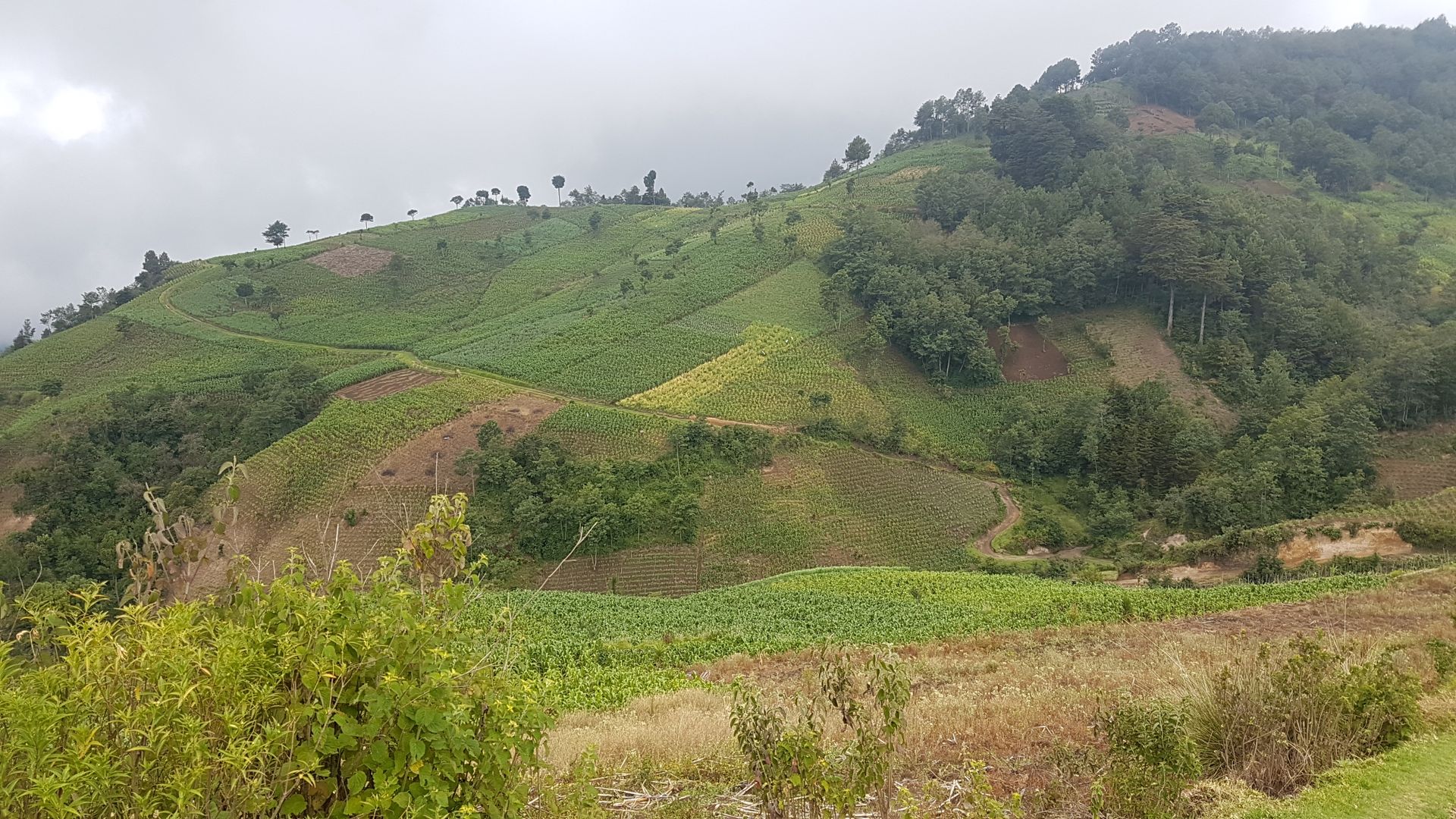
The hike starts at 3000m and leads to the base camp at 4000m on the first day. A participant rented a mule to carry her backpack. And the three tents for everyone. This was of course very welcome, as in addition to warm clothes, a sleeping bag, and two days' worth of food, we also had to carry six liters of water for drinking and cooking. First, we passed through cornfields (at 3000m!), then through green meadows and pine forests until we reached 4000m, where allegedly the highest trees in the world grow. Here we set up our camp. The clouds from the Pacific gathered below us, later they moved up to us. Hiking at this oxygen-depleted altitude took a lot of energy. For dinner, we had pasta and, as always here, banana bread as an energy booster. It got really cold at night (around 0°), and for the first time, I was glad to have my warm clothes with me. We went to bed early because we wanted to be on the summit for sunrise. Departure was at 4:15 am in complete darkness. Equipped with headlamps, we climbed the last 200 meters in altitude to the summit. Once we arrived, we could already see the first light of dawn on the horizon, and a freezing wind blew in our faces, so we had to wrap up as much as possible. The sunrise wasn't perfect because there were too many clouds on the horizon, but it was still beautiful to watch. However, I found the shadow cast by the mountain on the backside even more spectacular. Plus, the almost full moon in the sky. Very impressive and beautiful to look at. Then we had banana bread again for motivation before starting the descent. We walked around the crater to get back to the base camp. There, we packed everything together, and we were back at the starting point by lunchtime. After eating, we drove back, and probably no one, except the driver, stayed awake.
Back in Xela, I treated myself to a long shower and a nice dinner with some of the hiking group. There wasn't much more to do. And then, a well-deserved sleep followed... :)
The next day was really meant for resting the tired legs. After sleeping in, a good breakfast, later coffee and cake, and a bit of lazing around.
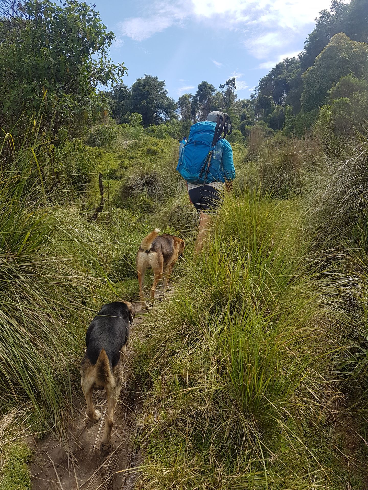
But in the early evening, there was already the briefing for my last hike starting from Xela: from Xela to San Pedro on Lake Atitlán in three days, covering 45km. This tour is Quetzaltrekkers' bestseller. A huge group of 24 people from all over came together. Each person gathered the food they had to carry, and the schedule was explained.
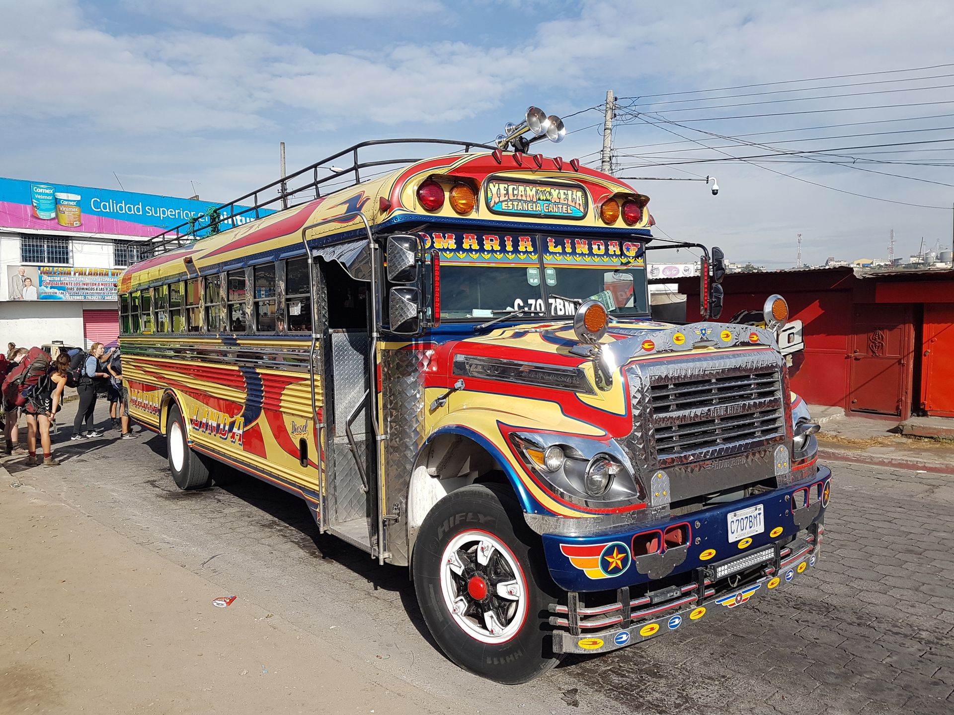
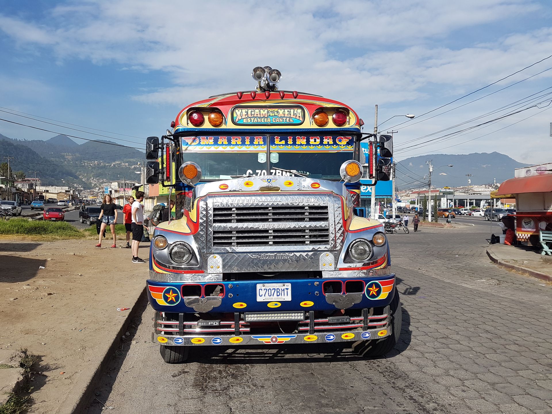
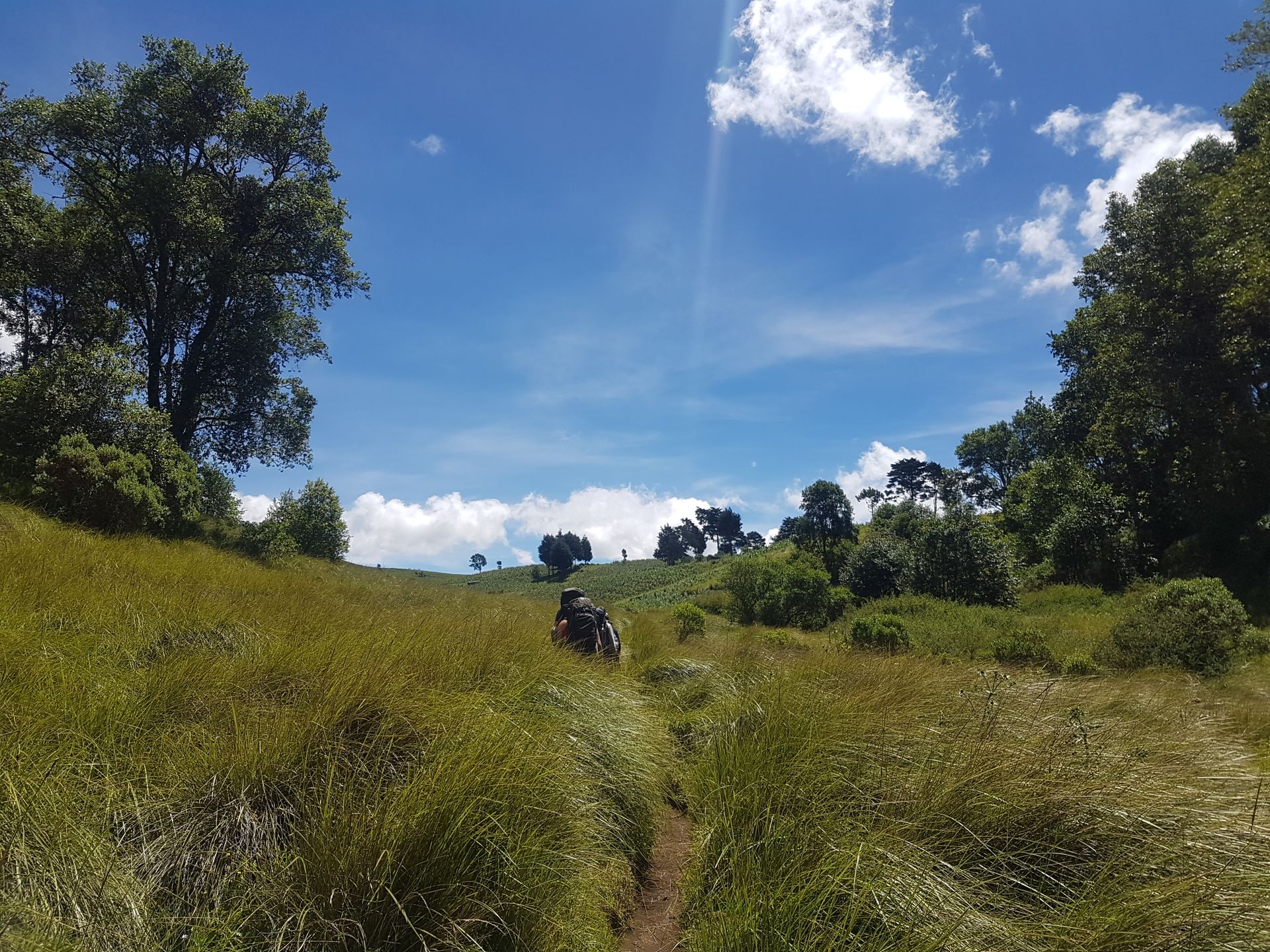
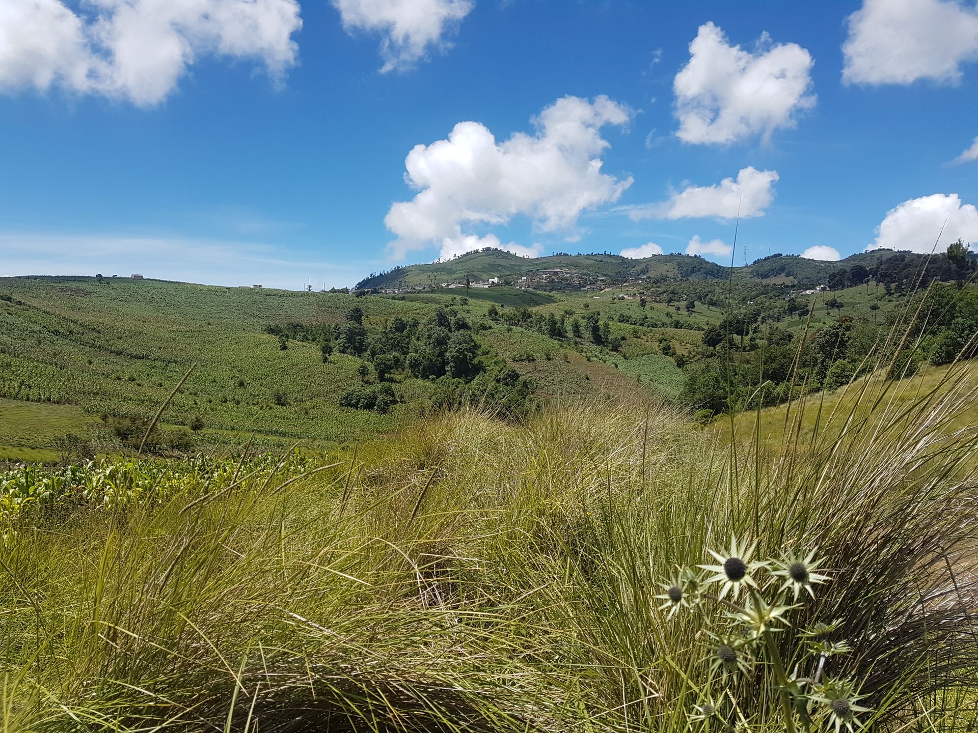
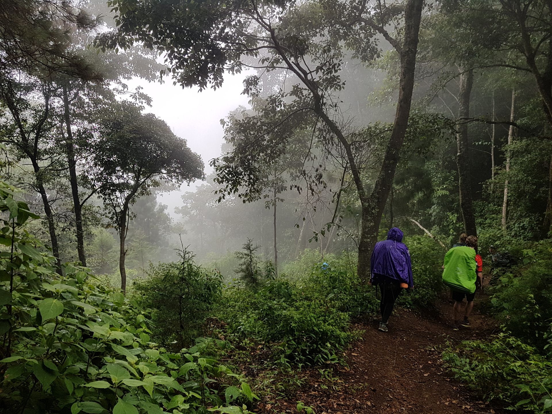
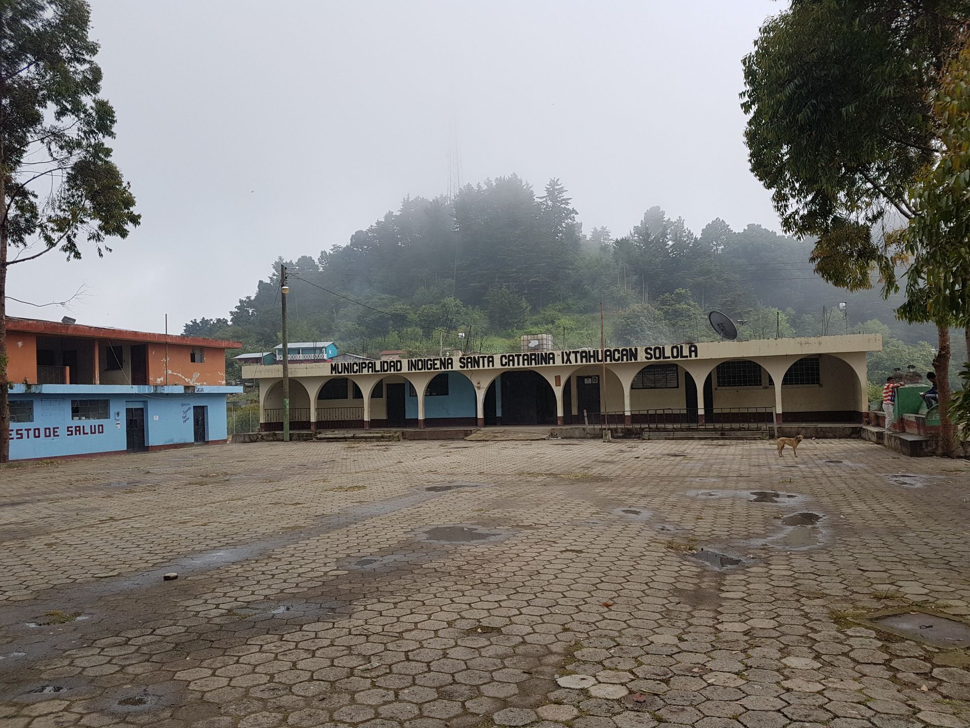
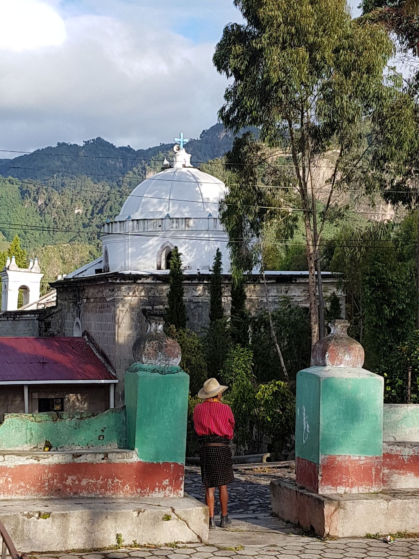
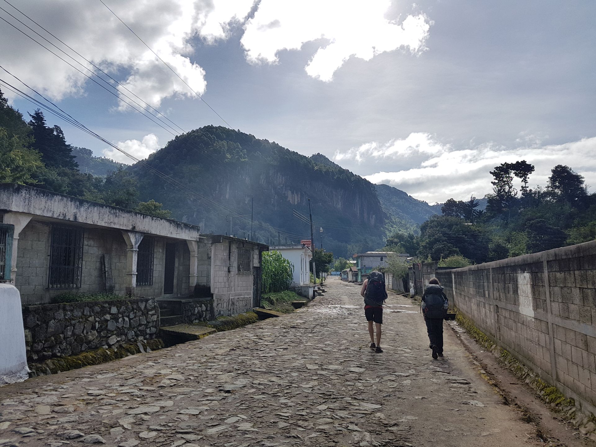
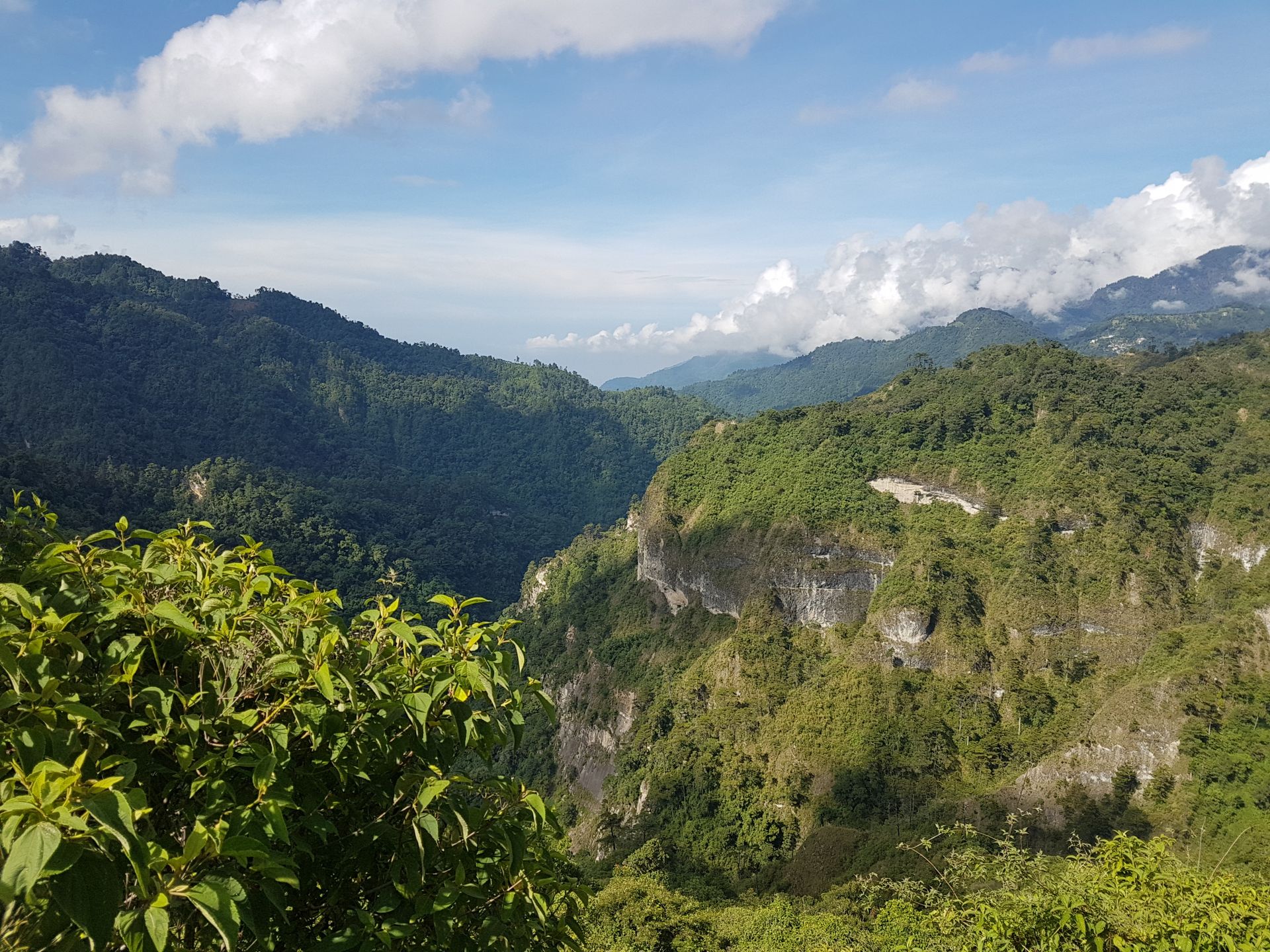
We started the next morning at 6 am with a shared breakfast. The public bus finally took us out of the city to the village of Cantel, where we started the hike. The steepest ascent awaited us right at the beginning. 700 meters in altitude gain to 3000m brought some already to their limits. Once at the top, it went hilly up and down and further through fields and cloud forests. At some point in the afternoon, it started to rain extensively, which was expected in this area at this time of year. But thanks to good equipment, I stayed somewhat dry. In the late afternoon, we reached the village of Santa Catarina Ixtahuacán, where we stayed overnight in the community hall. The village is inhabited exclusively by the local Mayan Qiché people who still wear their traditional clothes here.
We treated ourselves to a few well-deserved beers, then went to the Temazcal to warm up, which is a type of sauna. In the small hut, it is heated for two people, and you pour cold, warm, and hot water alternatingly over yourself. After this relaxation, we had pasta for dinner, and soon we were tired enough to sleep. On a mat on the floor, but at least it was dry.
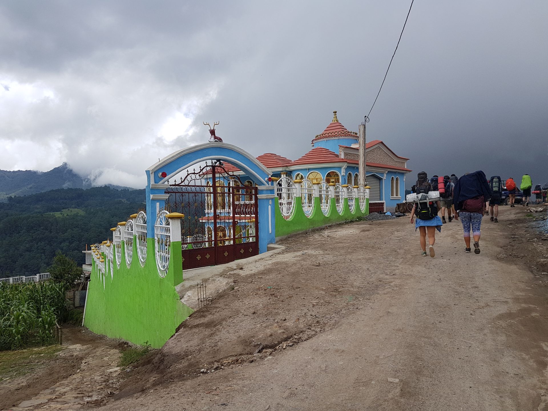
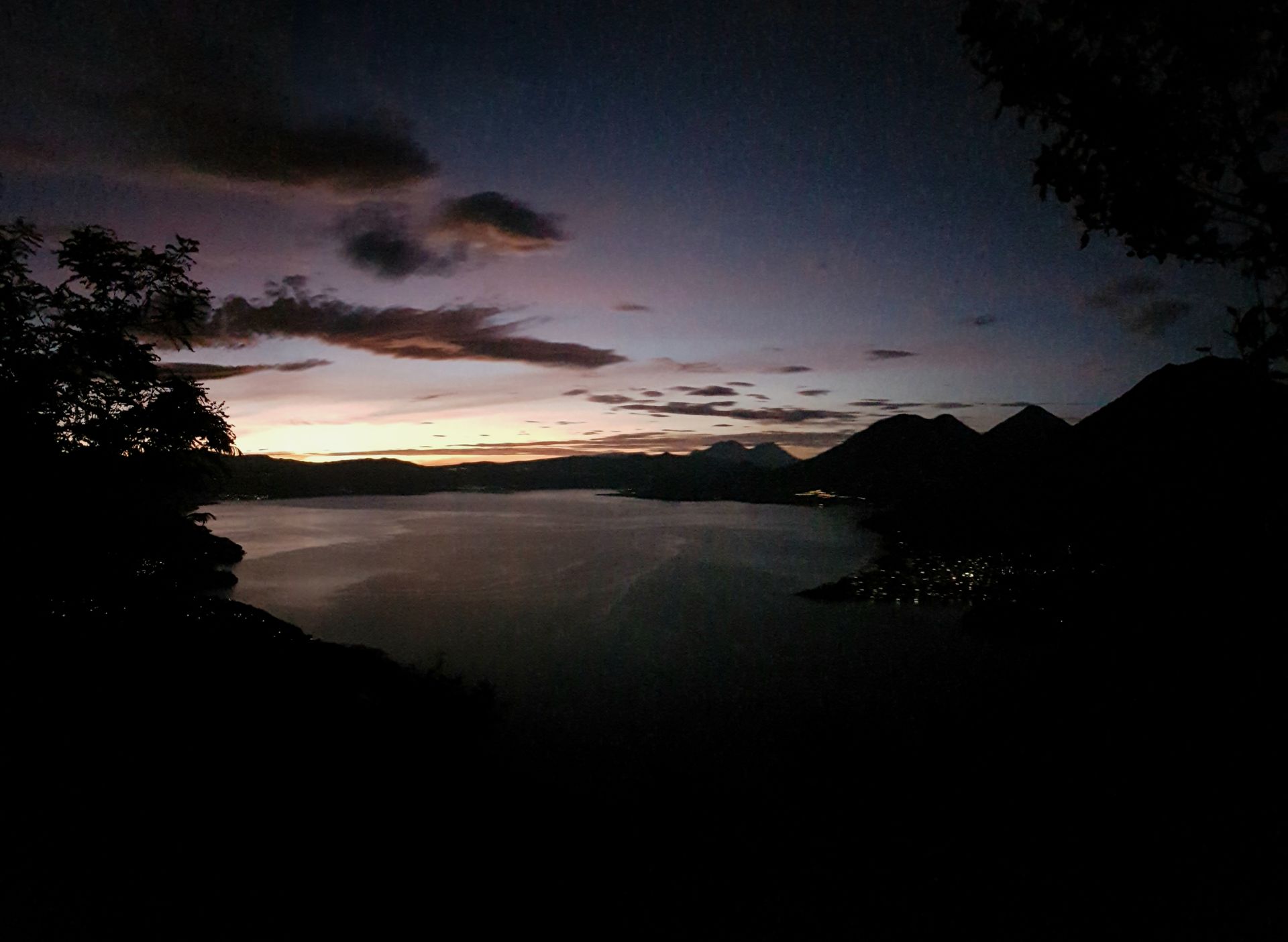
The next morning, after a hearty breakfast, we continued through mountains and valleys. Through villages with sometimes huge mansions with mirrored windows. An indication that they were built with money sent home by emigrants from the USA. This is one of the most important sources of income here (as well as in other Central American countries) and accounts for about 10% of Guatemala's GDP. We were spared from rain on this day, so we arrived in Santa Clara la Laguna at some point, pretty exhausted. We stayed in the large house of Don Pedro and his family. There we had dinner and even a hot shower. The village is located above Lake Atitlán, so the distance for the next day wasn't too far anymore. But because we wanted to see the famous sunrise from Nariz del Indio (Indian Nose) with a view of the lake and Guatemala's volcano line, we had to get up very early again.
But what the Indian Nose is and the pictures of the sunrise will only be in the next report about Lake Atitlán :)
ସମ୍ବାଦପତ୍ରକୁ ସବସ୍କ୍ରାଇବ କରନ୍ତୁ |
ଉତ୍ତର
ଭ୍ରମଣ ରିପୋର୍ଟ ଗୁଆଟେମାଲା |