
From Bramans via Modane, the Col de la vallée and the Col des thures to Plampinet
ପ୍ରକାଶିତ |: 12.09.2020


ସମ୍ବାଦପତ୍ରକୁ ସବସ୍କ୍ରାଇବ କରନ୍ତୁ |
Day 10 (September 10, 2020)
In the morning, we enjoyed the benefits of the campsite. We took a long shower, had a leisurely breakfast, hung our clothes in the sun, and washed the dishes again with warm water from the tap.
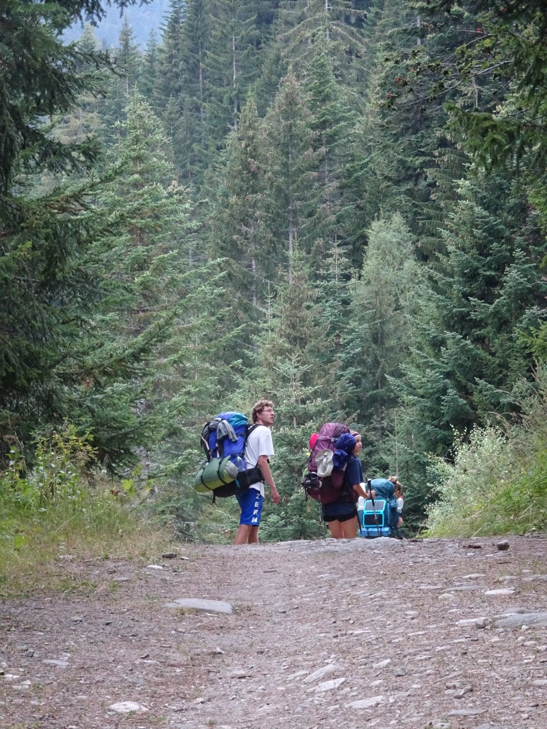
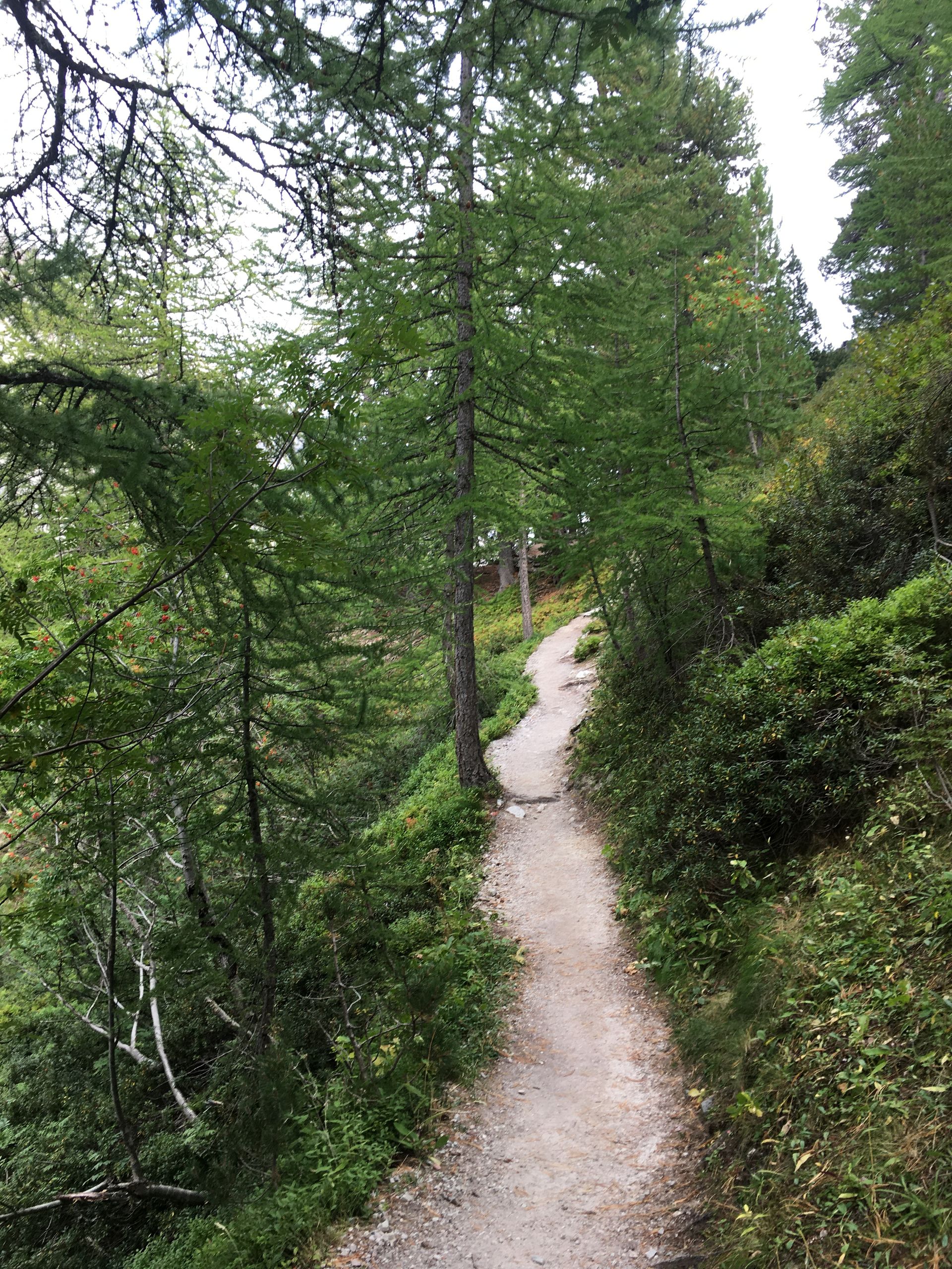
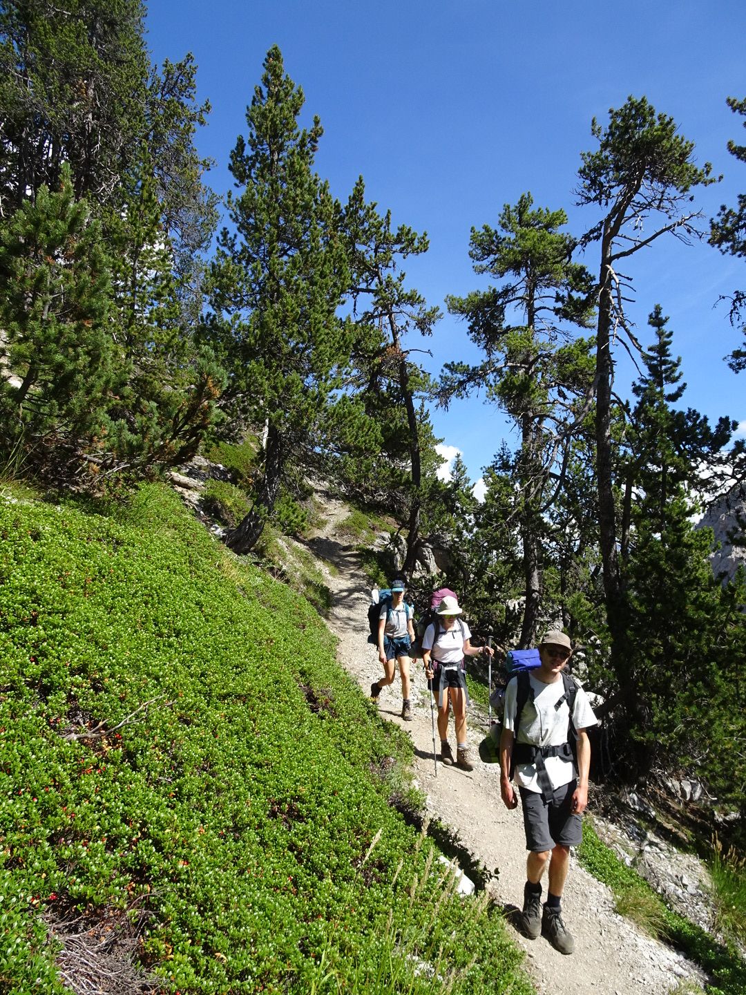
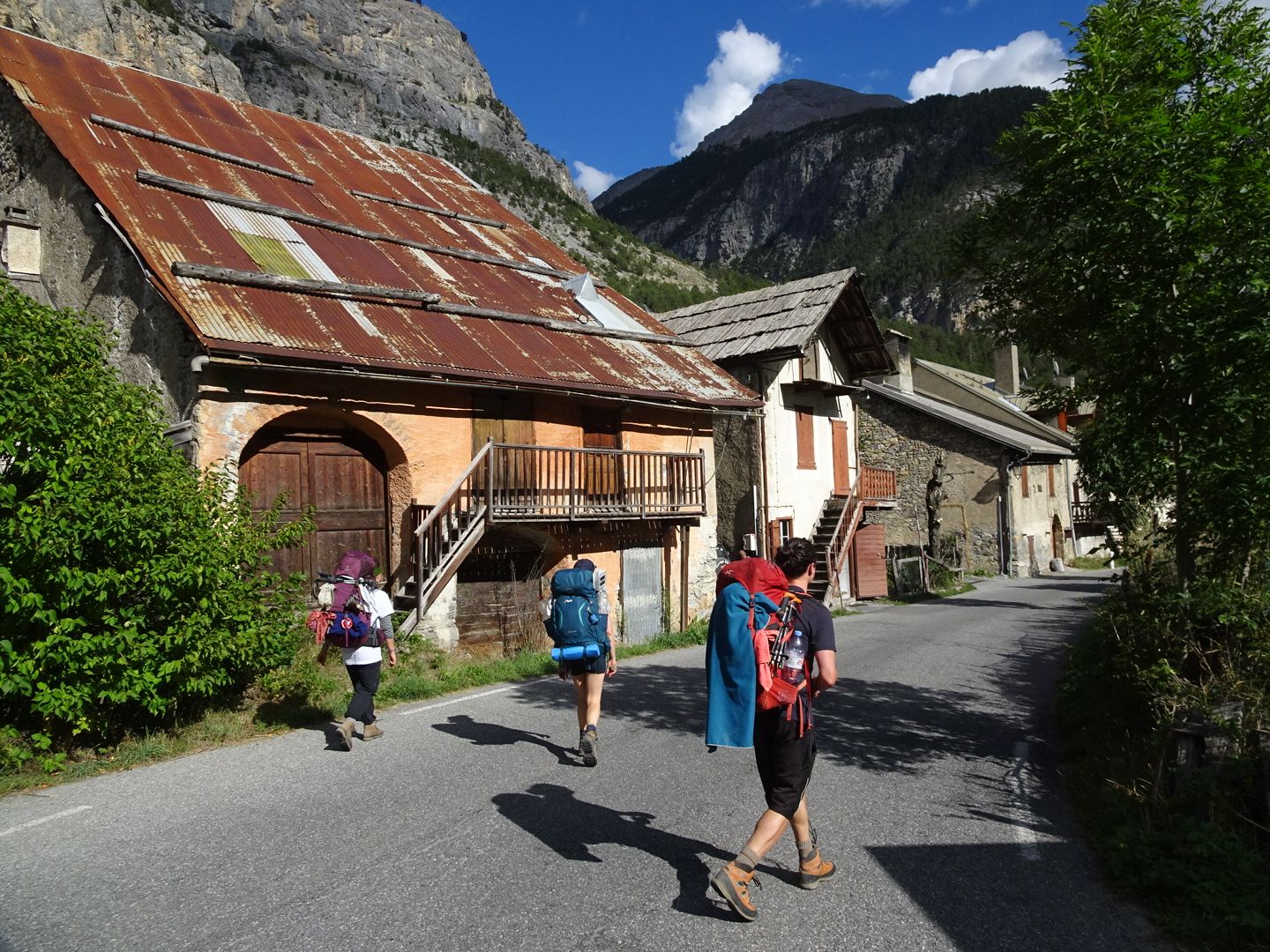
Before noon, we started our hike. Once again, the sun was scorching our heads and the first climb on the asphalt road was a bit tough. But then we had a very pleasant hike through a sparse forest of pines and firs. We diligently learned about trees and are now almost experts.
After about an hour and a half, we arrived at Fort Marié-Therèse, which, together with three other forts, served for the defense of Sardinia-Piemont-Savoy against France but was never used.
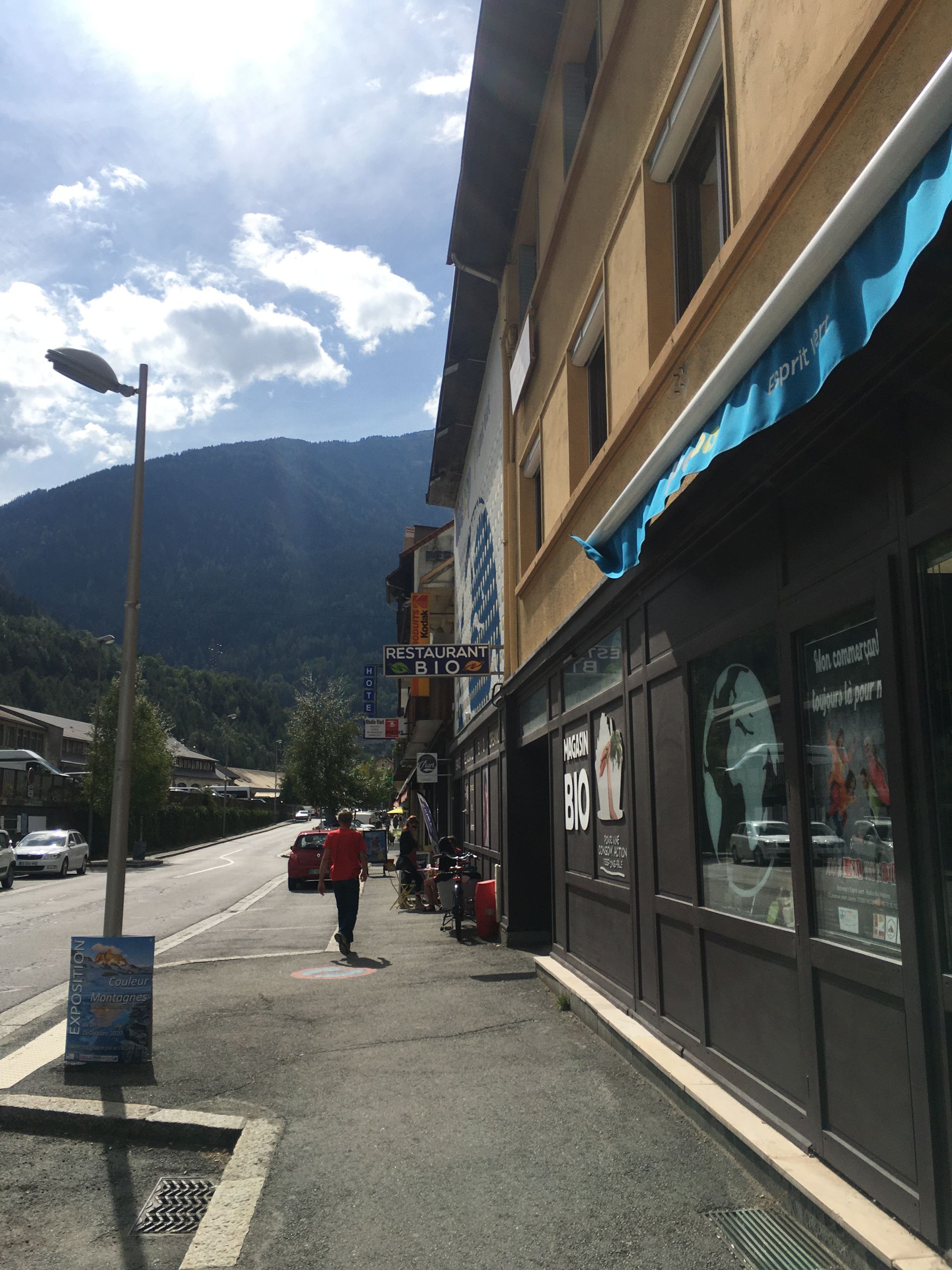
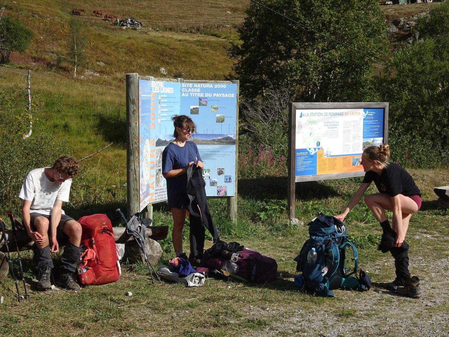
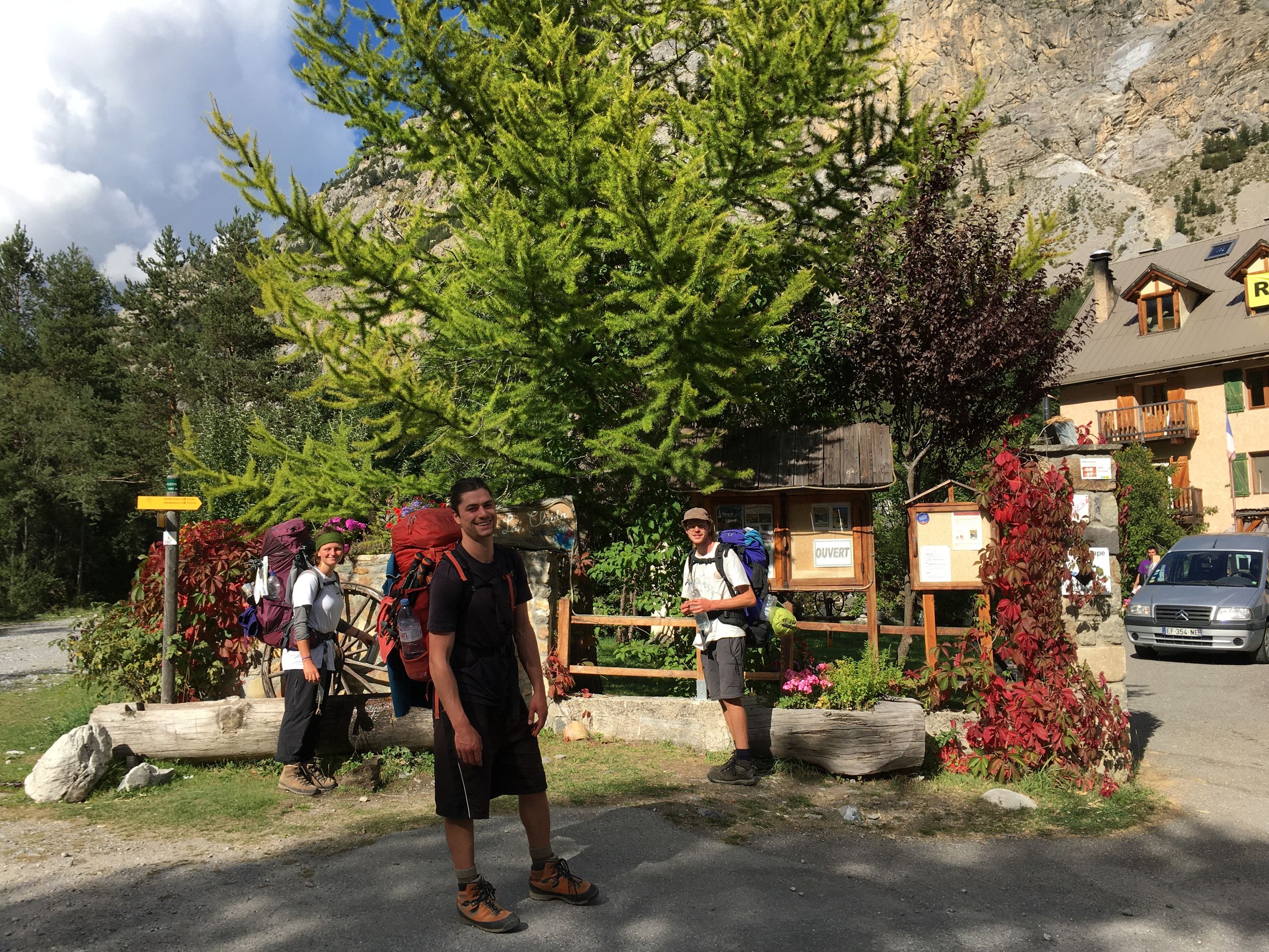
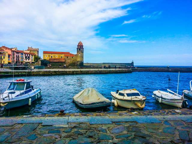
From there, we wanted to hitchhike to Modane. Surprisingly, we were already picked up by the second driver and dropped off in front of the supermarket in Modane. There, we bought supplies for the next few days and then treated ourselves to a leisurely lunch at a table in the small town.
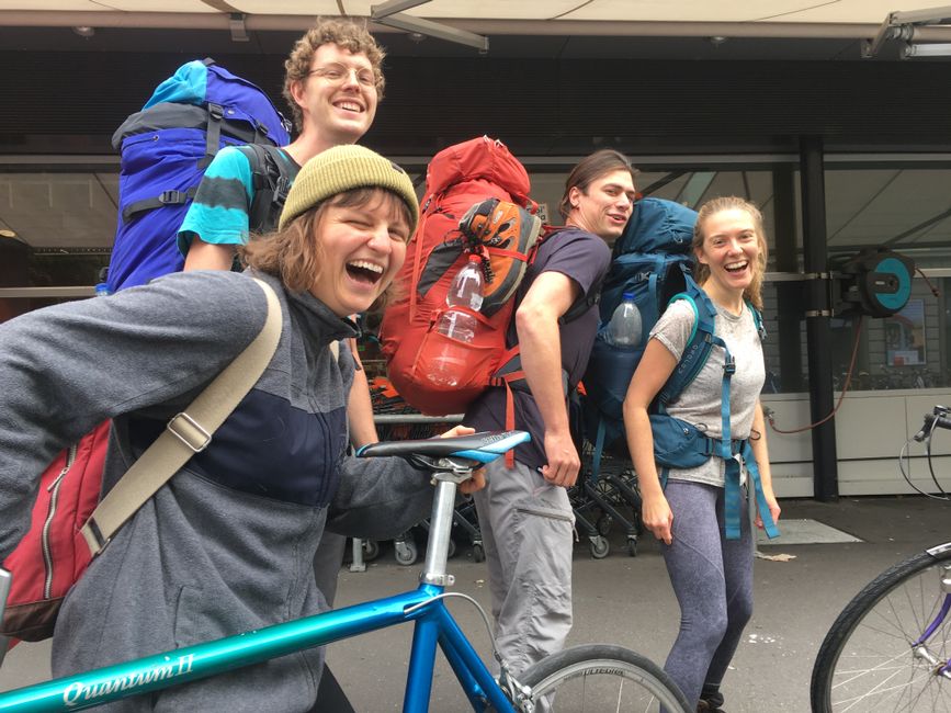
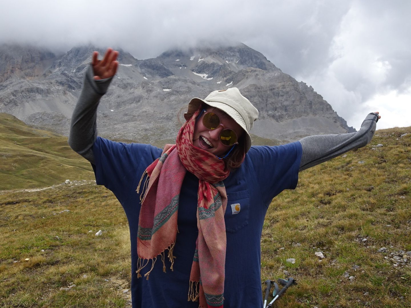
After lunch, Raphaela finally arrived. Our trio has become a quartet.
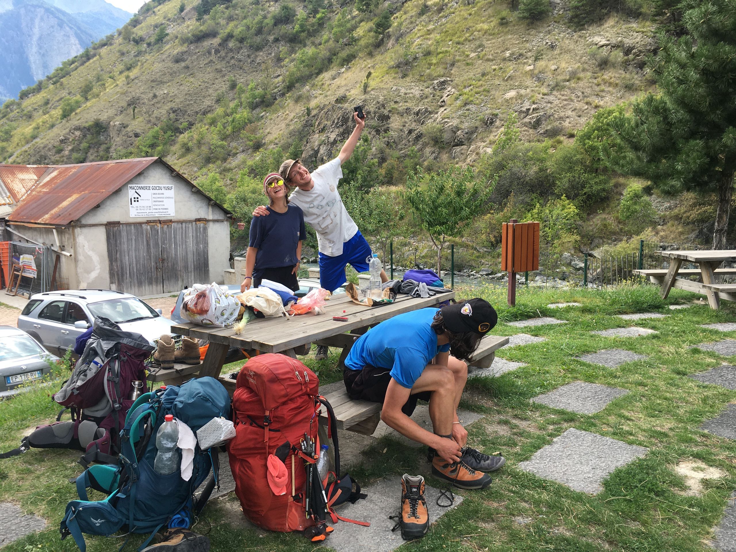
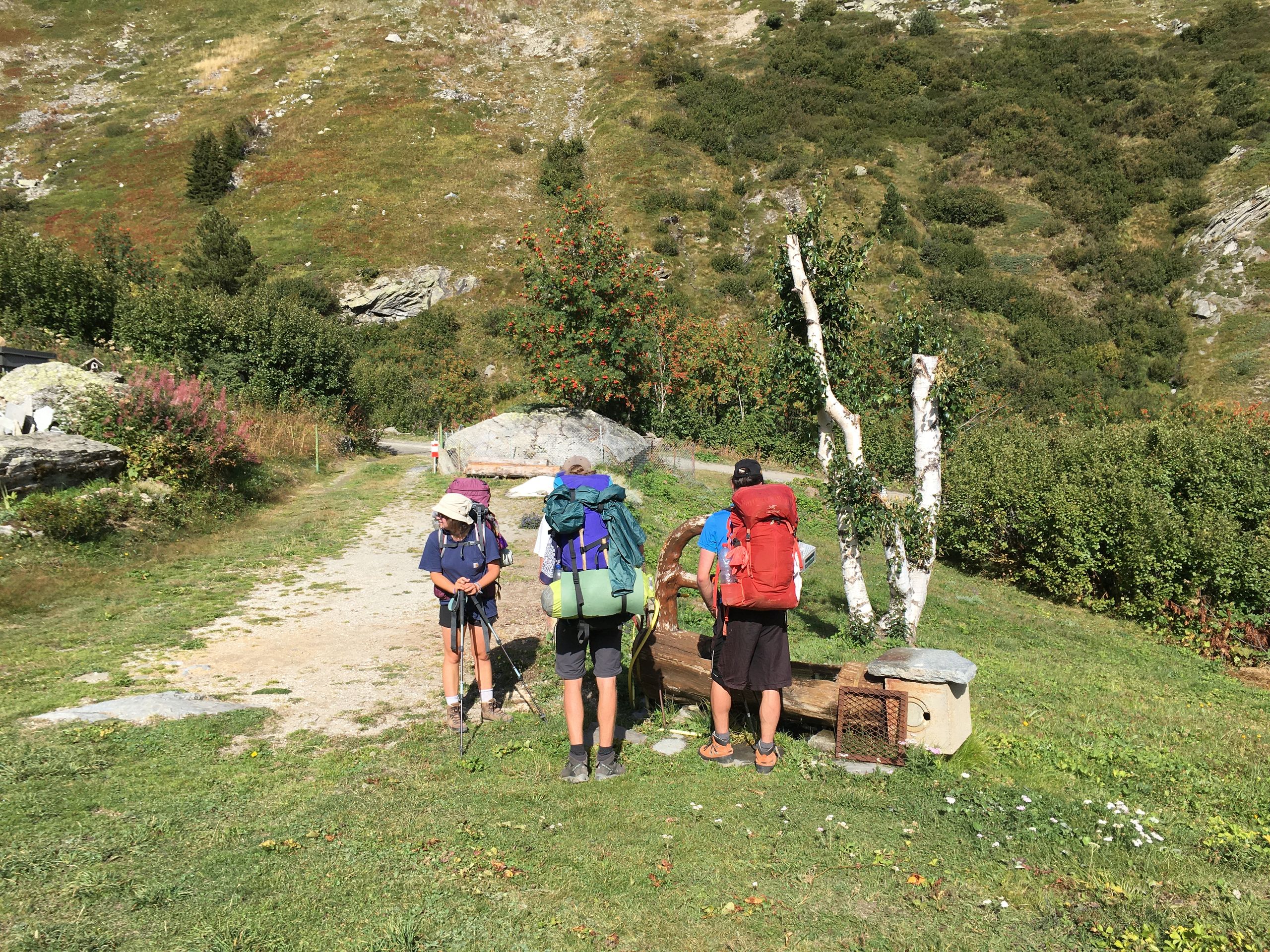
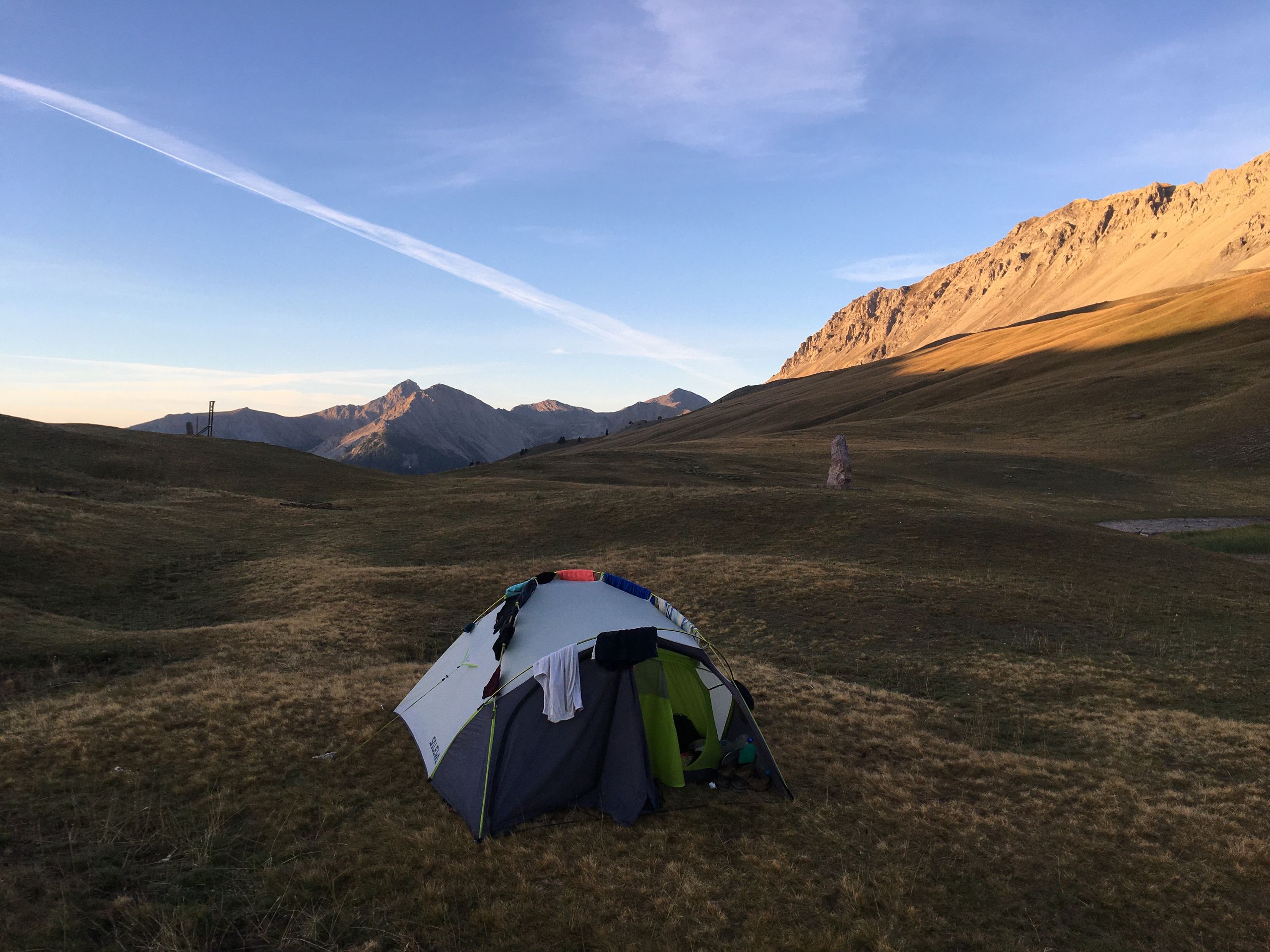
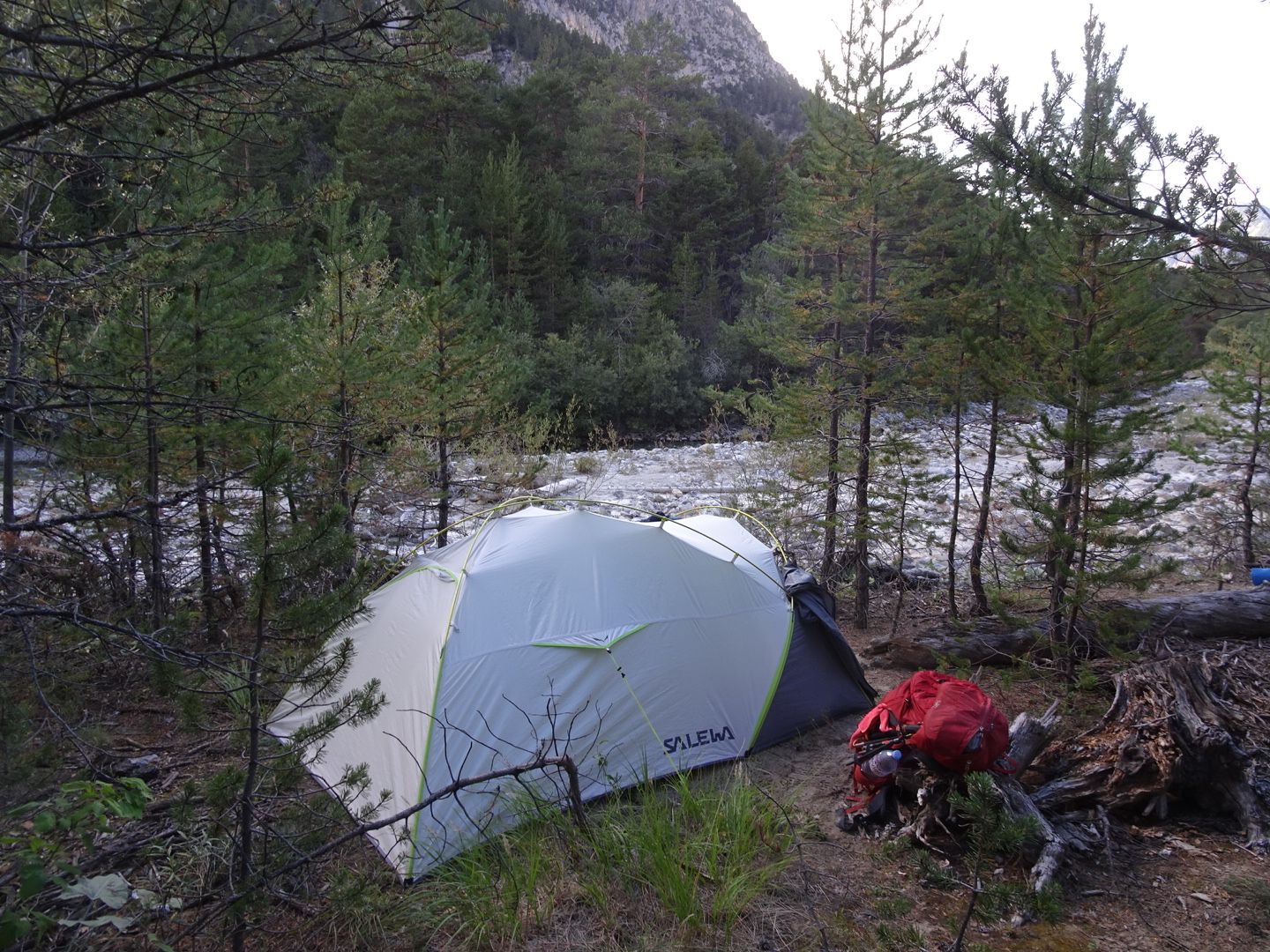
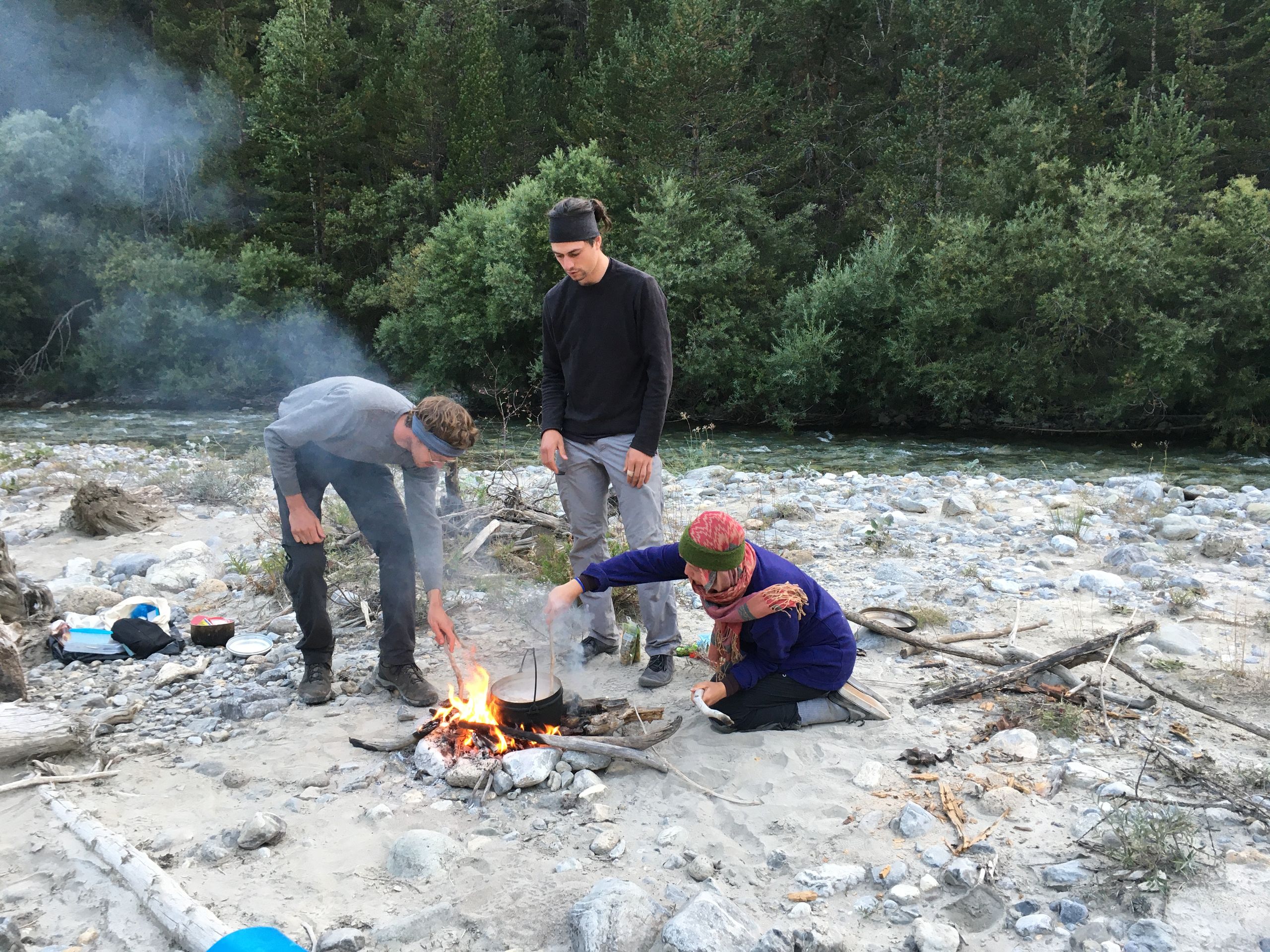
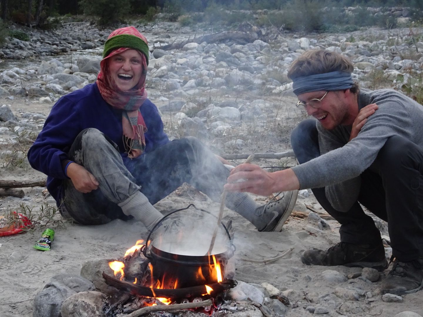
After a long and unsuccessful search for some olive oil and a garbage bag, we hiked up the very rocky hill behind Modane. In no time, we had covered about 700 meters of elevation. The weather became increasingly gloomy, and it was high time to find a place to spend the night. As it was getting dark, we camped next to a river near a military bunker. Shortly after setting up the tents, it started to rain. Nevertheless, we made a fire and Simi and Rapha cooked bulgur in the rain. Soon after, we retreated to our tents.
Day 11 (September 11, 2020)
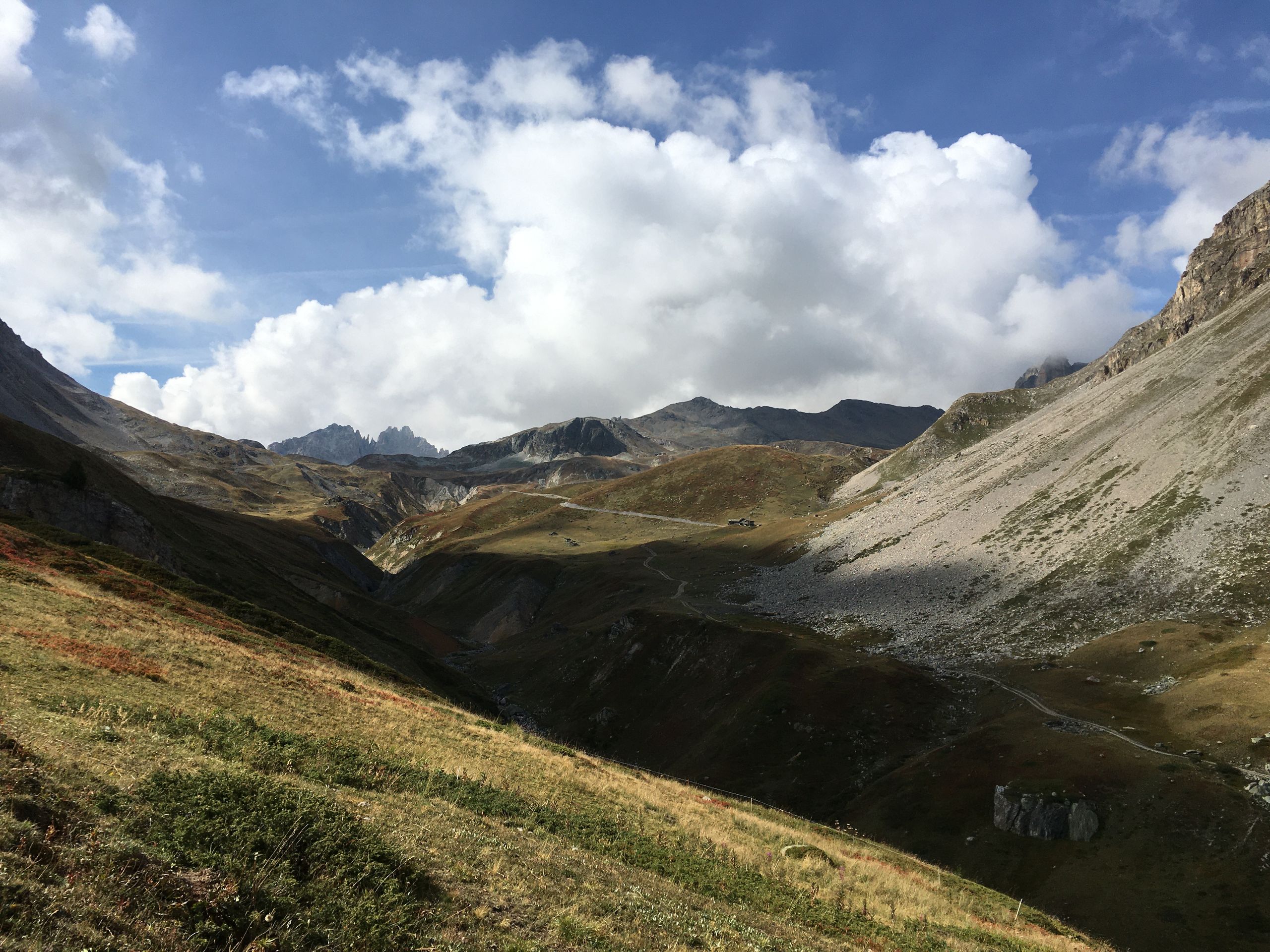
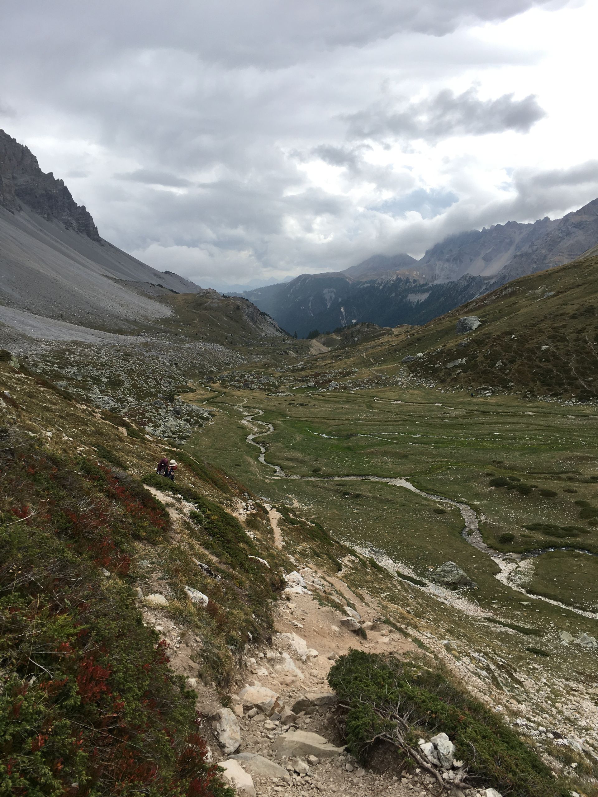
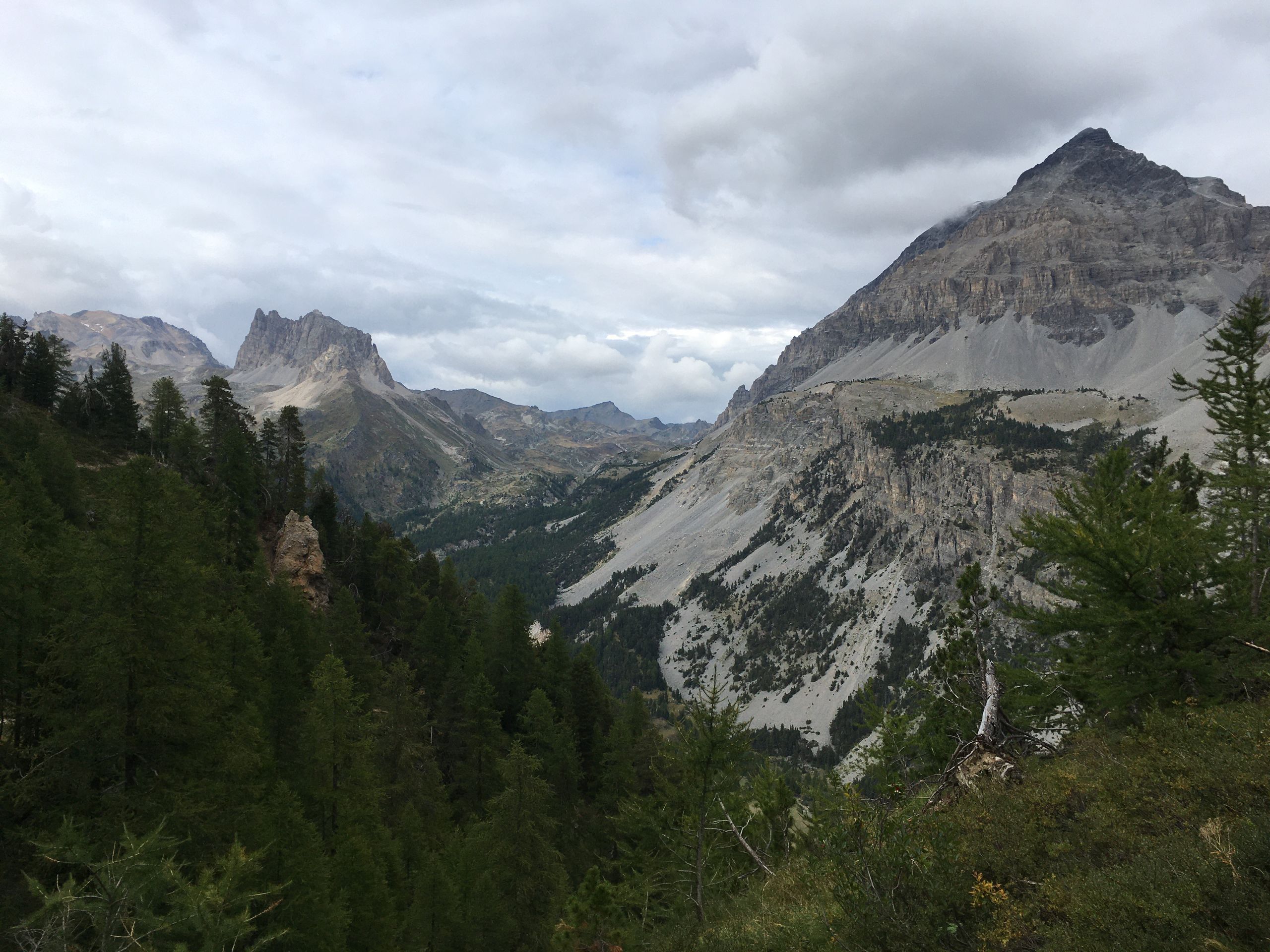
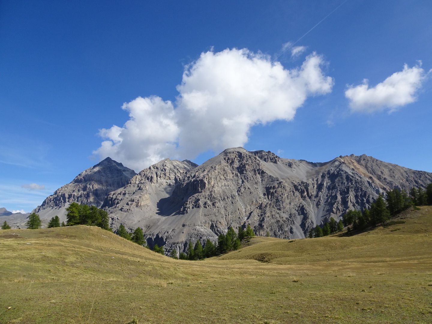
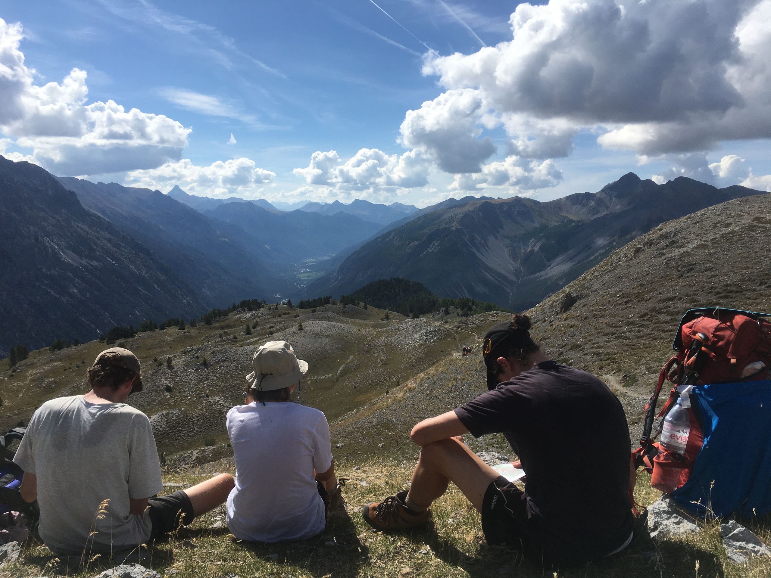
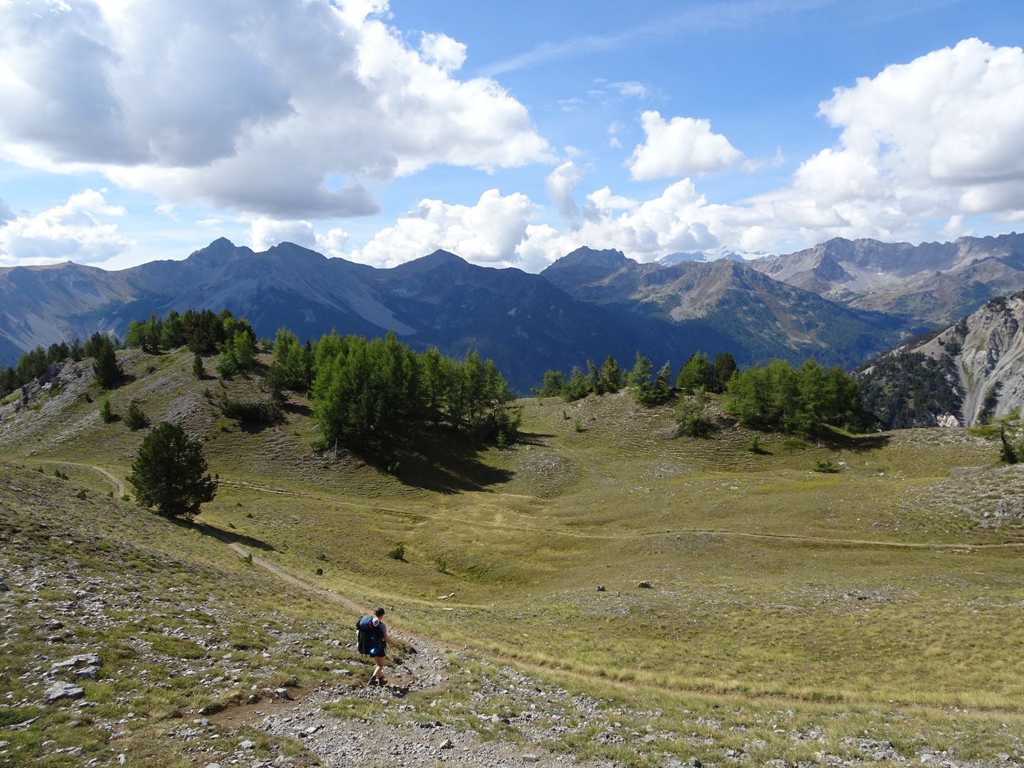
This morning, the sky was blue again. We had muesli and hot coffee. Then we set off early. The path was steep once again. However, the climb was worth it. We were rewarded with a magnificent plateau. During lunch on the Col de la vallée étroite, we considered climbing Mont Thabor at 3,100 meters above sea level. But as clouds and wind approached, we decided to take the direct path downhill. It was beautiful. Gentle meadows intersected by numerous streams, small mountain lakes, colorful slopes already showing signs of autumn, and fairytale-like larch forests were our sights. Despite the brief drizzle, we enjoyed the afternoon.
Once we reached the valley, we were allowed to have some olive oil from a refuge (we were now in the Italian-speaking part of France).
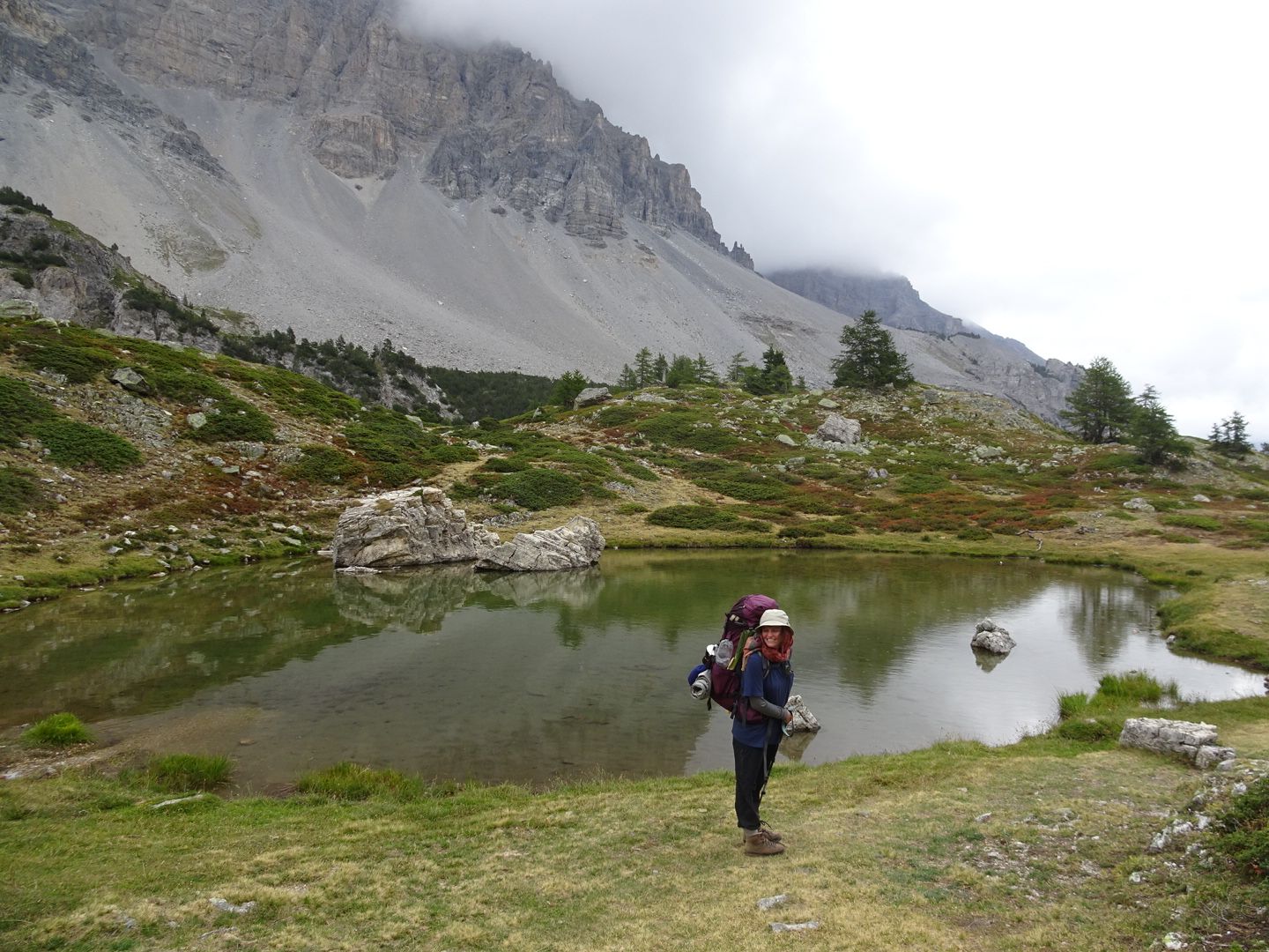
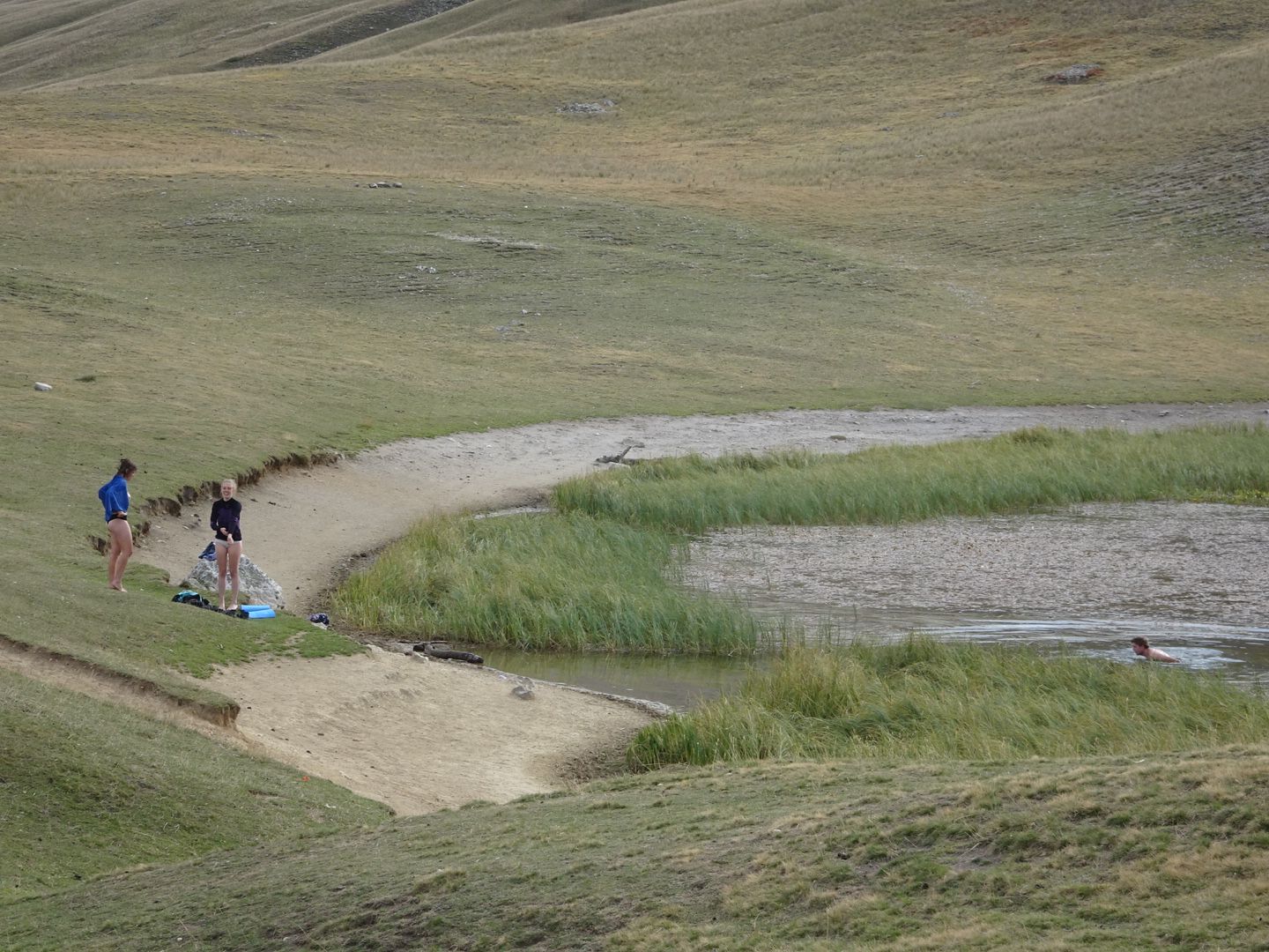
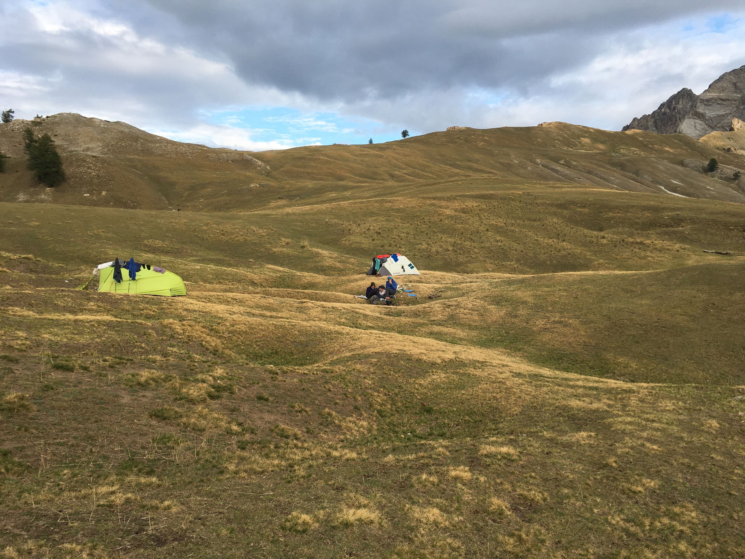
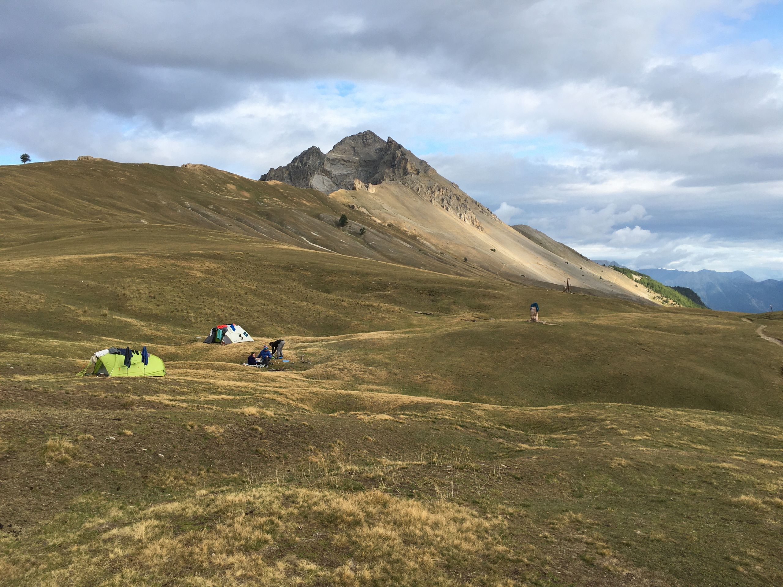
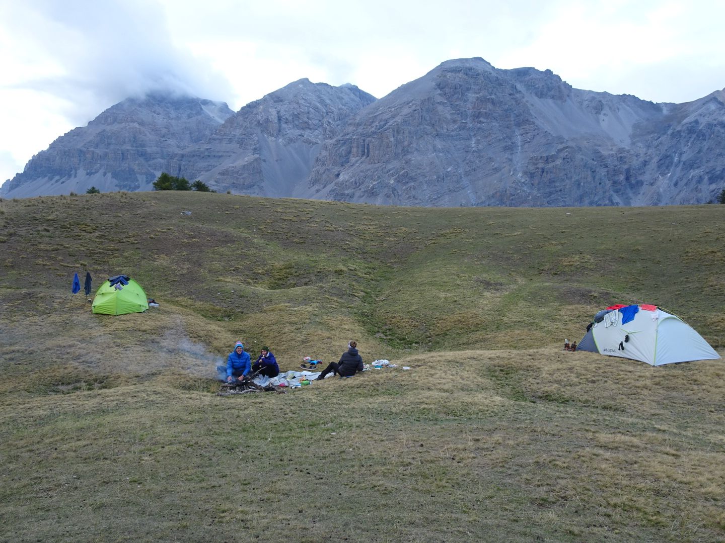
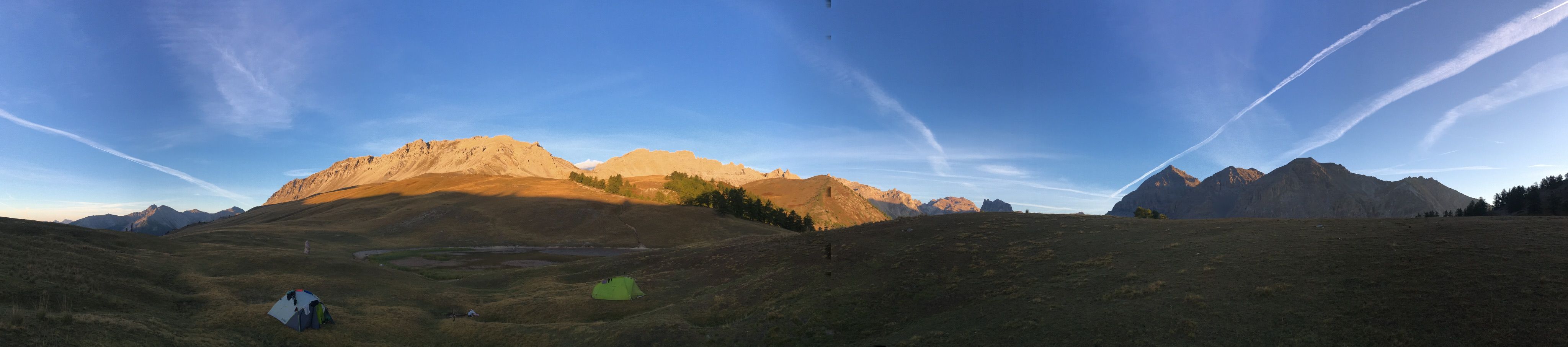
We continued uphill for another hour to the Col des thures, where we set up our camp at an altitude of 2,200 meters above sea level. We took a bath in the chilly mountain lake and then enjoyed Swiss-style rösti with a delicious pepper and vegetable sauce. This was followed by a game of Tichu and a clear night sky.
Day 12 (September 12)
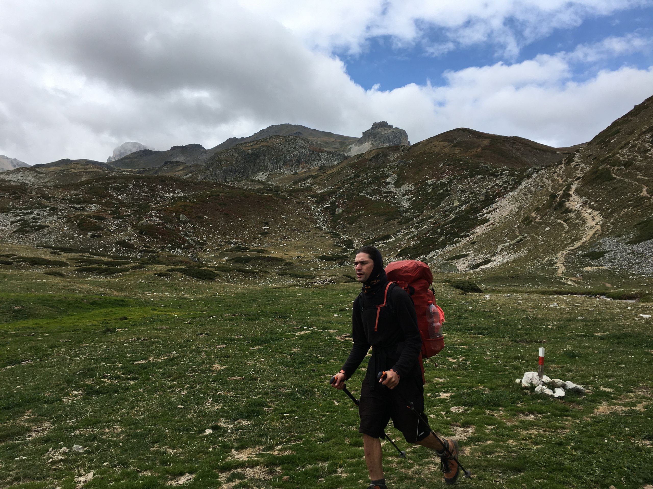
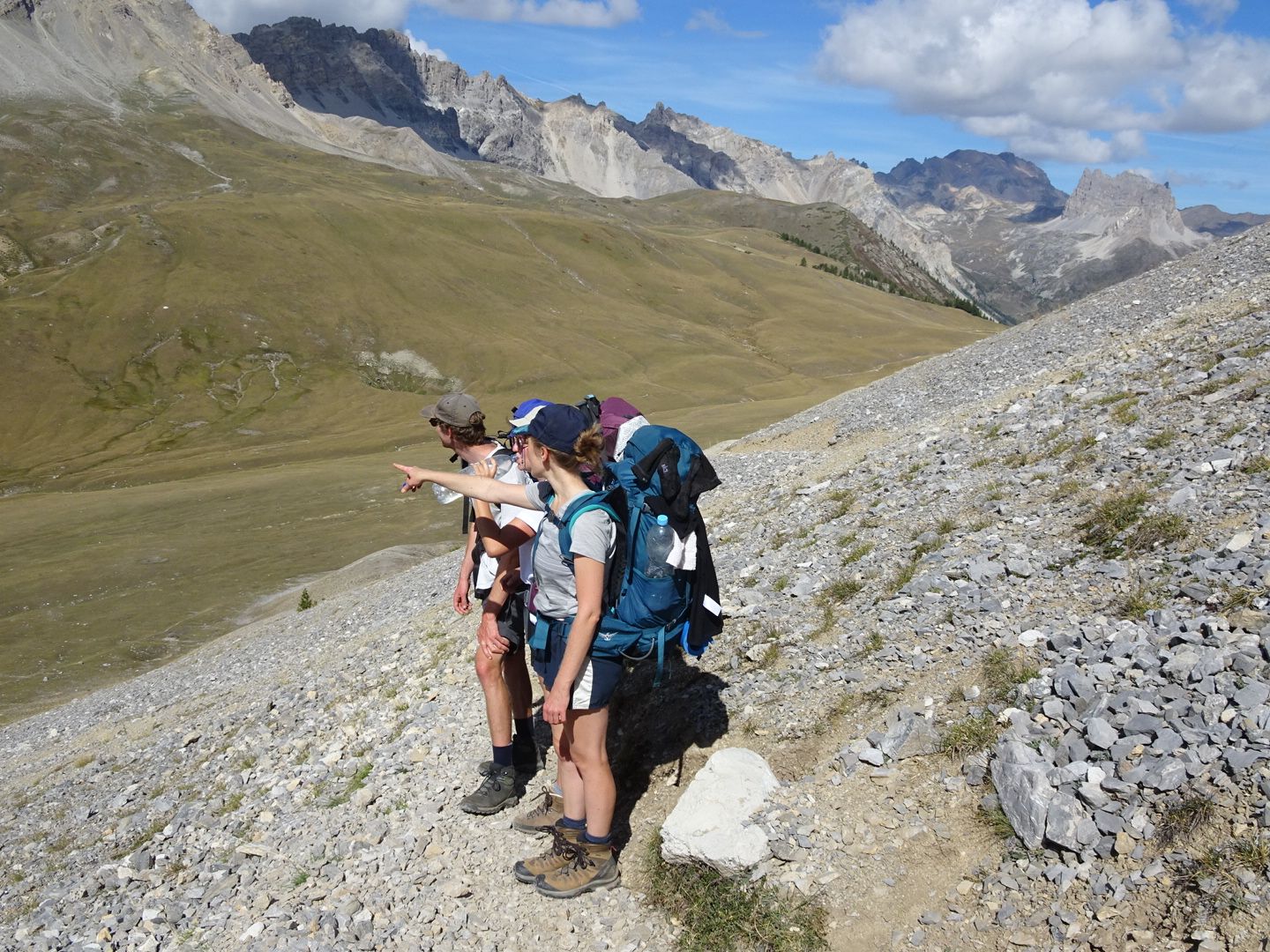
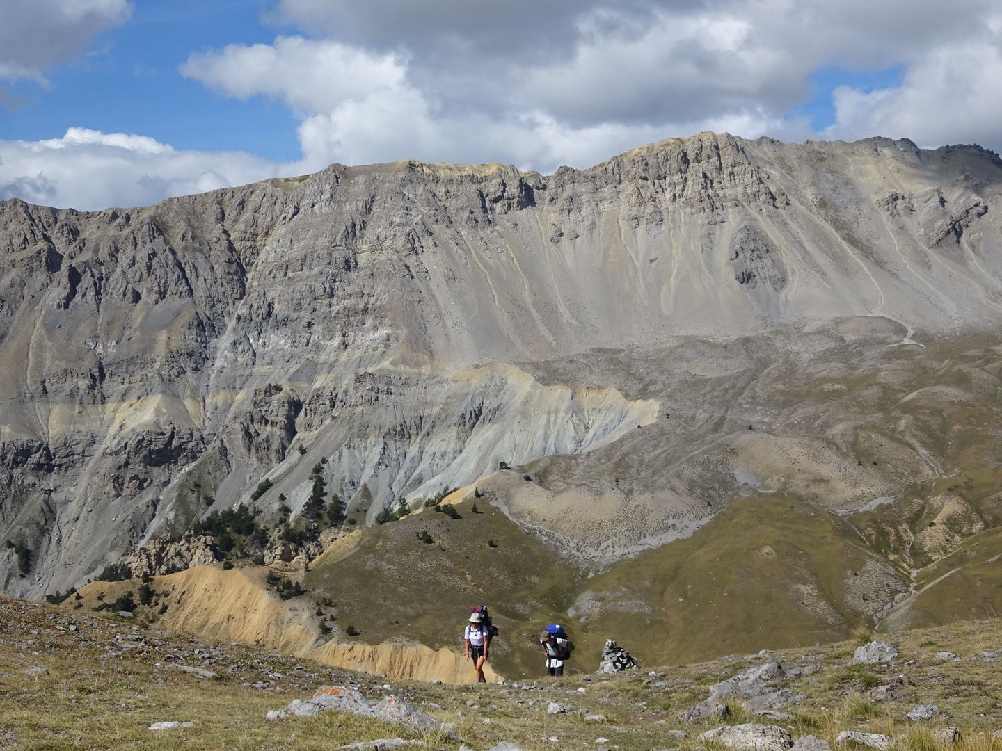
Today, we slept until the sun drove us out of the tent. Packing up took a while, and we didn't start hiking very early. The journey started with a narrow path along a bare, steep slope towards L'Aiguille Rouge. Then we had a slightly steep but beautiful descent where we found a good amount of butter boletes despite the dryness. We immediately used them in a risotto for a late lunch. After a swim in the creek and some discussions about the route, we continued the journey in the valley, along the river, towards Plampinet. The afternoon was already well advanced, and we found a spot by the river to spend the night. We made a fire, played games, and had pasta with pesto and olives.
ସମ୍ବାଦପତ୍ରକୁ ସବସ୍କ୍ରାଇବ କରନ୍ତୁ |
ଉତ୍ତର
ଭ୍ରମଣ ରିପୋର୍ଟ ଫ୍ରାନ୍ସ