29.12.2017: Hardest Day Tramp ever
प्रकाशित: 03.01.2018
समाचारपत्रको सदस्यता लिनुहोस्
The weather forecast for today is excellent - that fits perfectly with my plans. It's the extremely challenging Scotts Track. I have probably used these words or something similar elsewhere before, but nowhere do they apply as much as today.
At 10:00 am, we set foot on the track, which is estimated to take 6-8 hours. We follow the recommendation of my guidebook and take the uphill Scotts Track instead of using the downhill variant, and for that, we will use the Avalanche Peak Track. Said and done.
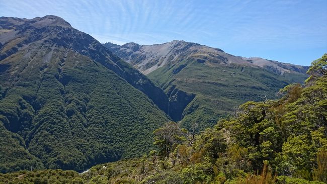
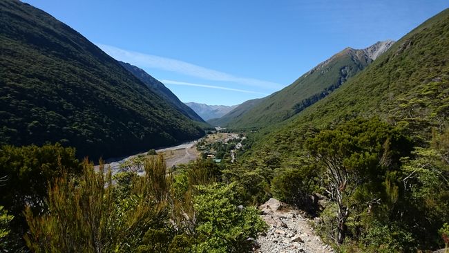
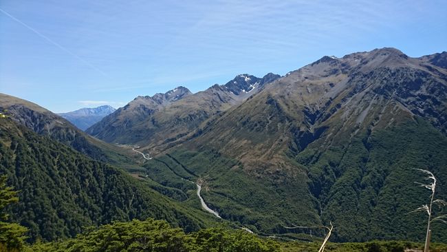
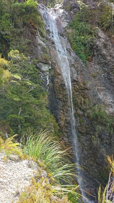
At the beginning, views of the Punchbowl Falls and Arthur's Pass Village accompany the hiker. Every photo opportunity is also a welcome rest and drink break. It doesn't take more than 10 minutes for both of us to be sweating. My little guidebook didn't promise too much - it's uphill all the way. The legs are not given a recovery phase in the form of a flat stretch. We have to conquer a total of 1,100 meters in altitude, as we struggle up to Avalanche Peak at 1,833 meters.
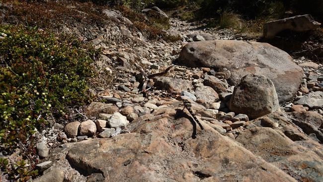
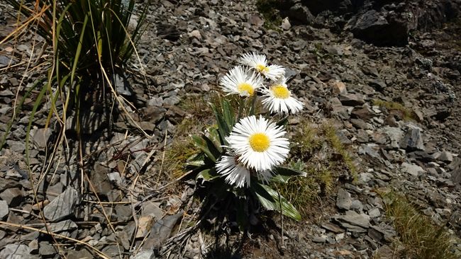
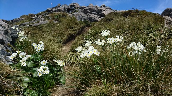
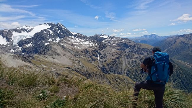
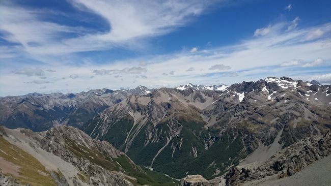
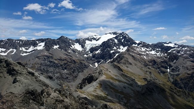
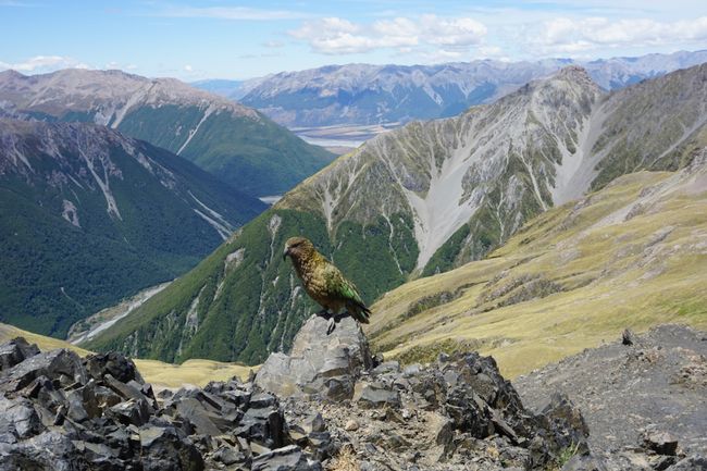
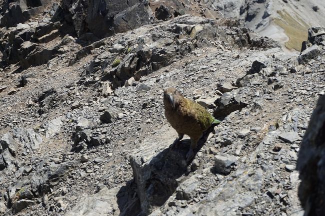
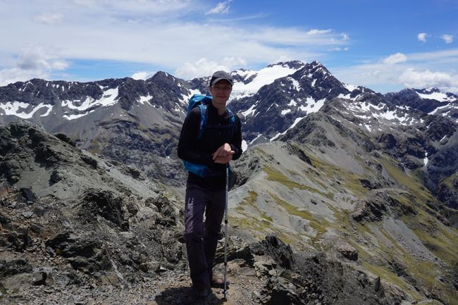
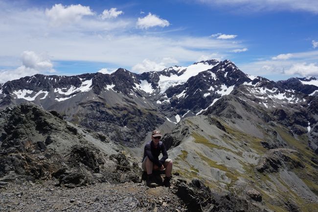
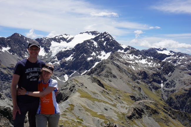
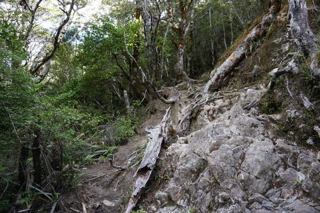
After about 3 hours of hard work, the goal seems so close, but the towering hills only give hope to be the long-awaited summit. When Avalanche Peak finally comes into view, it takes a lot of self-motivation not to give up at the sight, although Eric, measured by his horrified "Up there?!?!?" and various curse attacks over the loose scree, seems to have a little more struggle. The path winds steeply on a narrow mountain footpath, past mountain daisies and lilies, up. And then it's done! Finally at the top! The view is so fantastic that it can hardly be described in words. The gaze sweeps across the Southern Alps to the Crow Glacier, down to the valley, and to a kea that is checking people for possible sources of food. After taking some photos, I become restless. I've been up here for 10 minutes already and Eric is still not here, even though he was right behind me earlier. After a short time, concern outweighs and I hurry back on the track - one eye on the path and the other in the yawning abyss. And just as the restlessness gives way to panic, I see him sitting on a rock a few meters further away, taking a break - thank God! I can still convince him to invest three minutes of strength and conquer the peak.
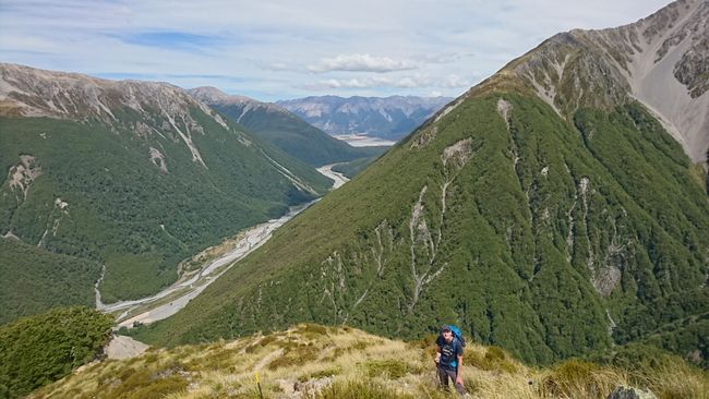
When all the photos are in the bag, it's time to go back. It's just as tough as the way up. Just a few minutes ago, we saw a mountain rescue helicopter picking up two hikers. Maybe one of them twisted an ankle or had an unfortunate fall (after all, there is cell phone reception!). It's no surprise given the loose terrain in combination with the steep slopes. The view down the valley gives an idea of how far it still is, but once back in the forest, there are only a few indicators left, especially since the gaze is mostly directed at the feet. Eventually, the knees start to ache and the legs begin to tremble.
The flat ground at the end of the track is a true relief. Now let's get back to the car and to the hostel for a shower.
समाचारपत्रको सदस्यता लिनुहोस्
जवाफ (1)
Matthias
Glückwunsch euch beiden, das ihr das geschafft habt. 😊👍
यात्रा रिपोर्टहरू न्युजिल्याण्ड

