
Tongariro Alpine Crossing
प्रकाशित: 24.01.2020


समाचारपत्रको सदस्यता लिनुहोस्
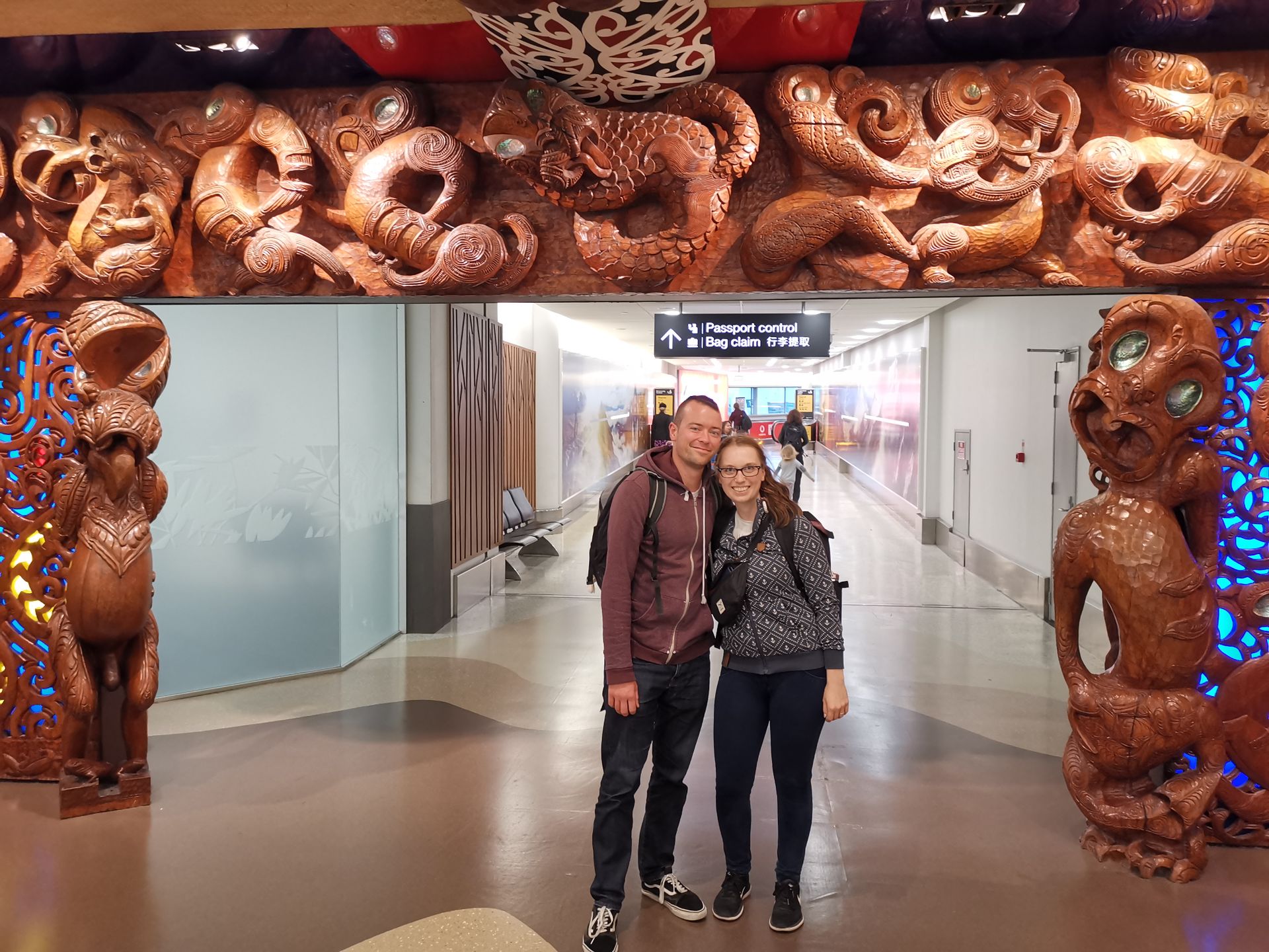
Our day started very early, the alarm went off at 4:50 am for the first time, because we had to be at the shuttle at 6:30 am, which took us to the starting point. We booked this one day in advance. So we parked our car at the end point of the route and were then driven to the starting point by a rickety, old bus. On the way, we already had a wonderful view of Mt. Tongariro, which the first rays of the day touched. I was a bit uneasy on the way, as the evening before I had read a few reports from people who had also done the Crossing, and some of them were anything but encouraging. They said things like "the 2-hour return journey was torture" or "my knees hurt for days afterwards". But now there was no turning back and it couldn't be worse than the Zugspitze hike, after all, we only had our daypacks with us and the tour was supposed to take only 7-8 hours.
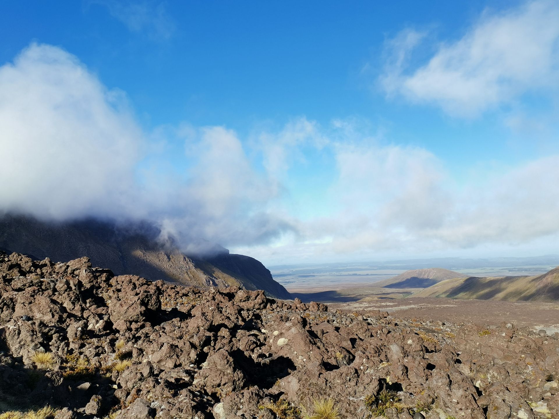
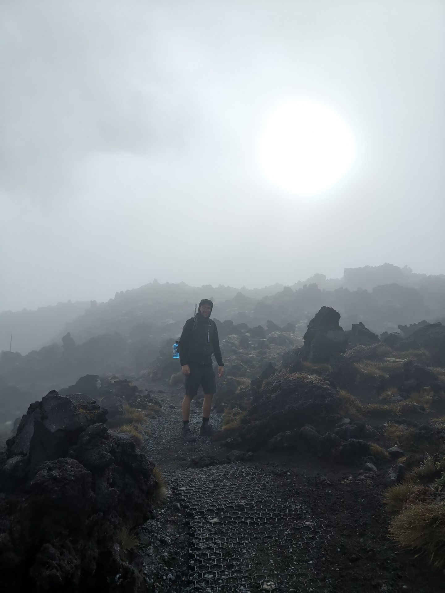
The starting point was Mangatepopo Valley, located at an altitude of 1100 m. From there, we could already guess how many people we would meet today. On beautiful summer days, over 700 people hike the Crossing daily, on average, a helicopter has to pick up people twice a week who didn't make it for some reason. I looked at the signboard again, which asked if we were really fit enough and properly equipped, and then we started. The first 4 kilometers were good for warming up, as the ascent was minimal. We walked along a small river through tundra-like valleys towards Mt. Ngauruhoe. You hike amidst large and small basalt rocks, the remnants of the last volcanic eruption. The volcanoes in Tongariro National Park are very active, Mt. Ngauruhoe last erupted in 1975. The weather was good, but clouds kept passing by, so the climbing walls of Pukikaikiore remained hidden behind them. We soon reached the first rest area, from where you could take a short detour to Soda Springs, a small waterfall. However, we skipped that one just to be safe, who knows what's to come.. :D
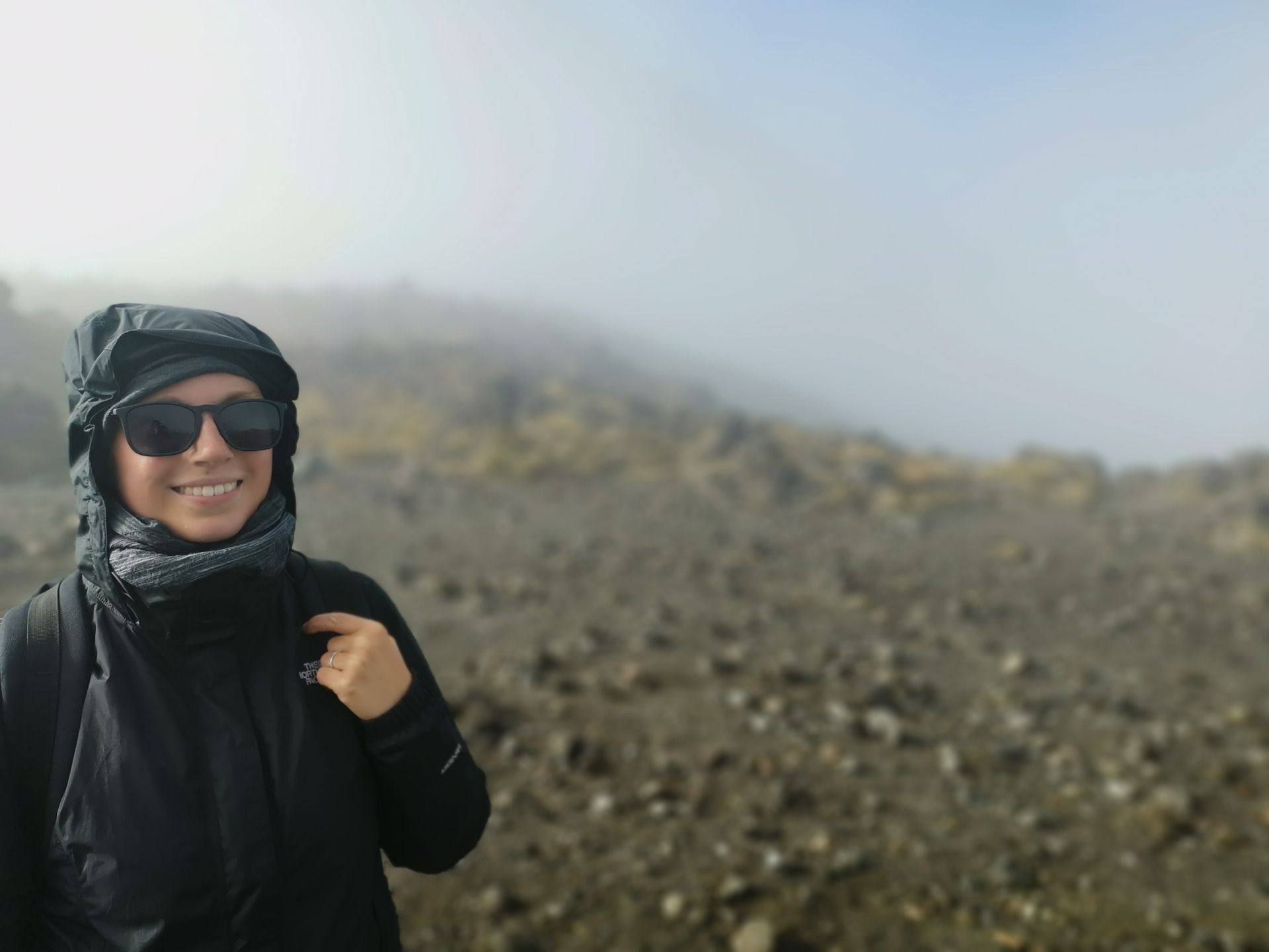
From here on, we climbed to alpine heights, namely the "Devil's staircase". They lived up to their name, as it got tough now. It goes up 2 kilometers on steps incorporated into the mountain. You struggle from 1150 meters to 1600 meters in altitude. It takes about 1-1.5 hours. I have no idea how many people passed me, but there were some :D Now it also got colder and the clouds denser, we could partly see nothing but clouds around us. Once you reach the top, you are halfway up Mt. Ngauruhoe and it was time for a little break.
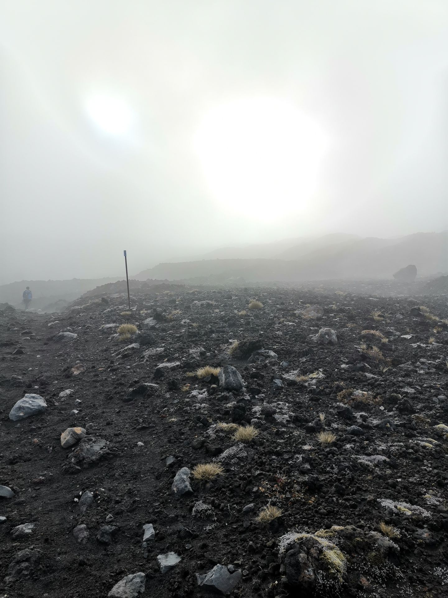
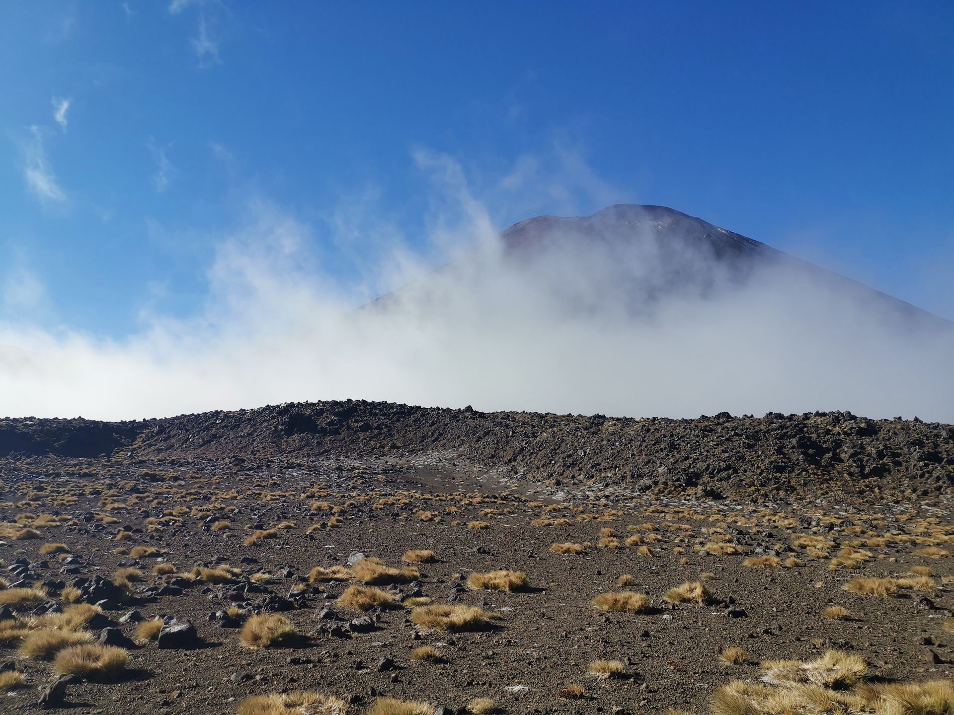
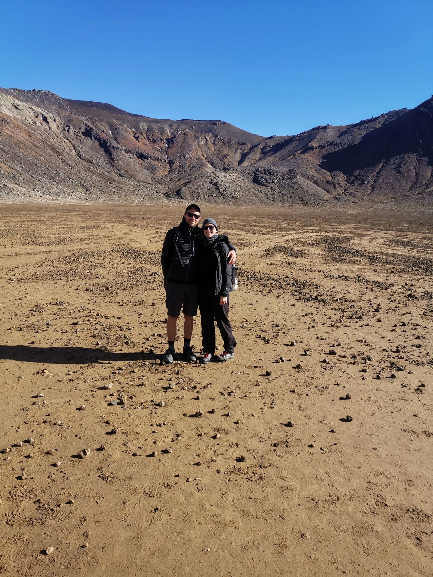
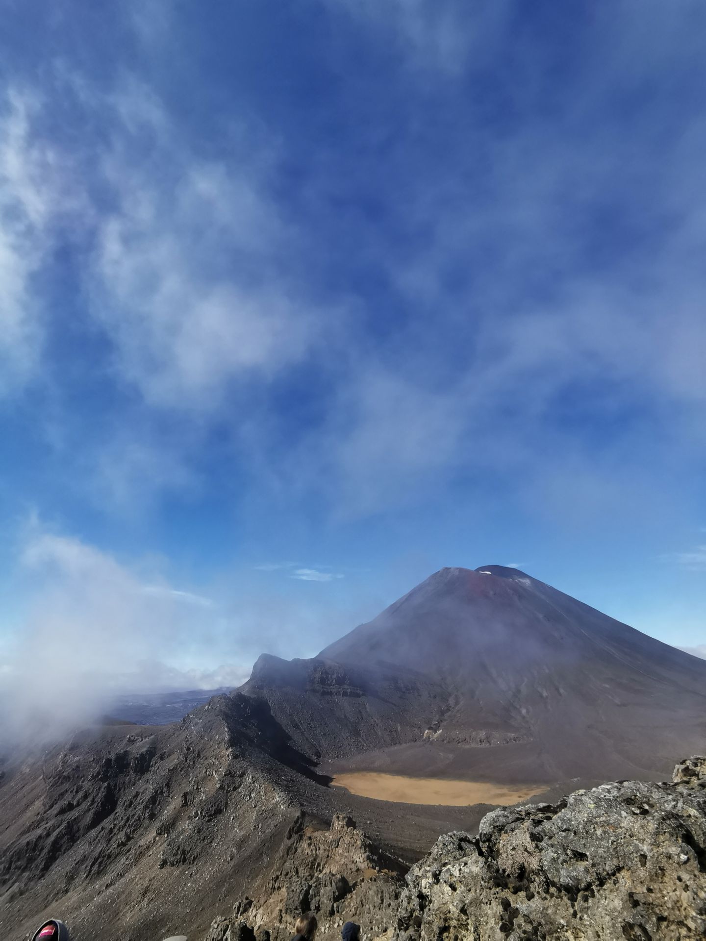
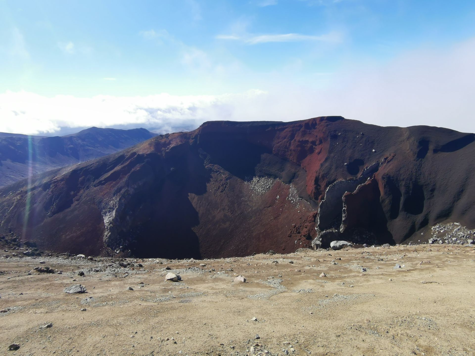
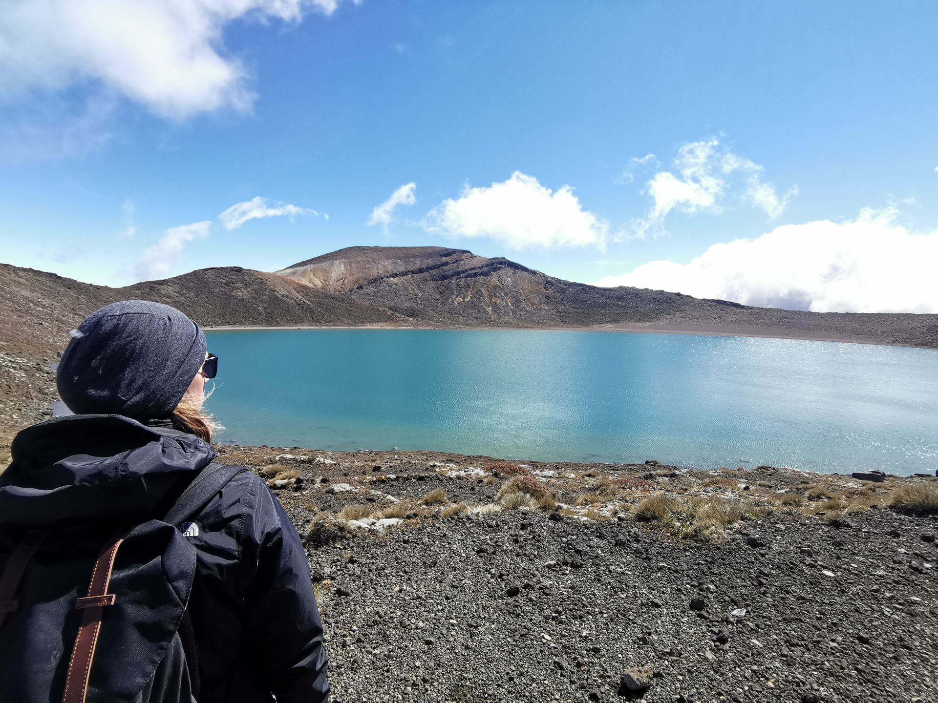
We continue through a wide valley, it already feels like you're no longer on this earth. Everything looks somewhat science-fiction-like. In the valley, you could gather strength for the next climb to Red Crater, the highest point of the hike. The ascent was tricky and steep, and the wind kept getting stronger. Luckily, we had our hiking boots on, as here we walked over big and small stones, going further uphill. There was hardly any opportunity to take a break, as the wind was simply too cold for that. Finally, when we reached the top, we had a breathtaking view of the national park and the volcanoes. And if the clouds allowed, we could see the still active Red Crater. An incredible spectacle. Soon, we could spot the 3 Emerald Lakes and in the distance, Blue Lake. Here was another opportunity for a little refreshment, to enjoy the view and of course take photos :) The Emerald Lakes were definitely one of the highlights of the tour with their green and blue glowing colors.
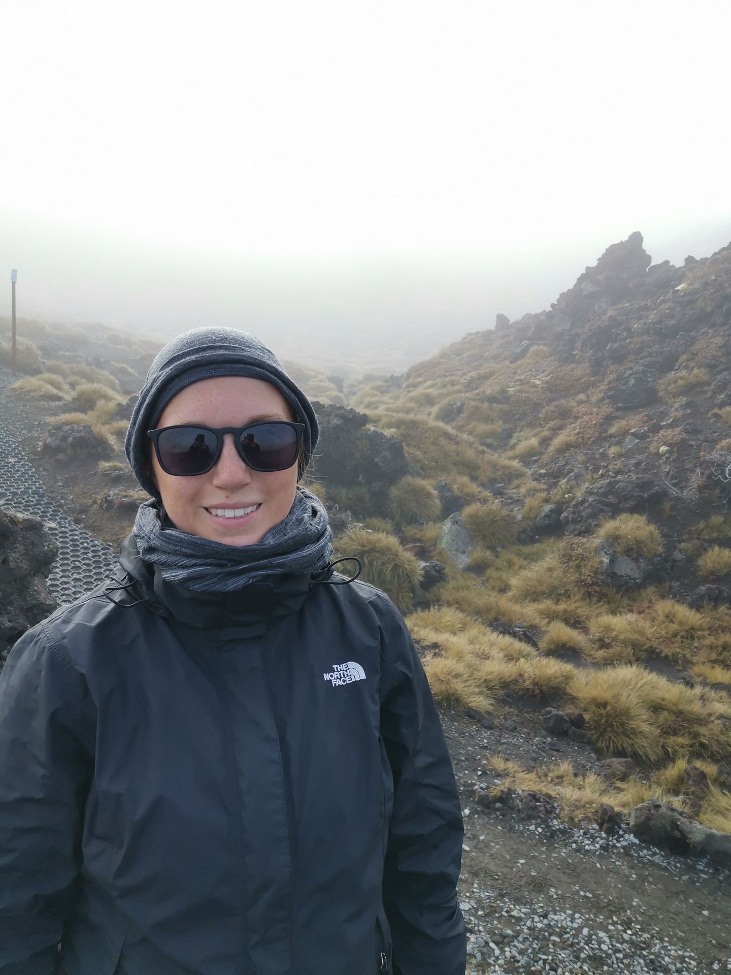
Refreshed, we now descended again. The path consisted of deep sand and was very slippery and steep, it almost felt like snow. We soon reached Blue Lake. Steam rises from the ground here and you have the, by now familiar, sulfur smell in your nose.
On the backside of the crater group, we head towards Ketetahi Hut. From here, you have a good view of Lake Taupo, which is as big as Singapore. From the hut, the path winds through a treeless landscape towards the destination. We walk downhill steadily for about 2 hours. By now, our feet were hurting and the path seemed endless. The last part leads through a beautiful fern forest where the wind finally calmed down.
At 1:15 pm, we arrived at the Ketetahi Car Park, from where the shuttle buses returned to the city. We still had to walk exactly 1 kilometer to reach our Rudi.
First, change into the sweaty clothes, luckily we always have everything with us :D and then we went to Turangi to shower and have pizza :D
All in all, it was a great day that we will surely never forget and impressions that we will probably talk about for a long time.
समाचारपत्रको सदस्यता लिनुहोस्
जवाफ

यात्रा रिपोर्टहरू न्युजिल्याण्ड