Jasper National Park, Wells Gray Provincial Park, then via Whistler and Powell River to Vancouver Island
प्रकाशित: 23.09.2019


समाचारपत्रको सदस्यता लिनुहोस्
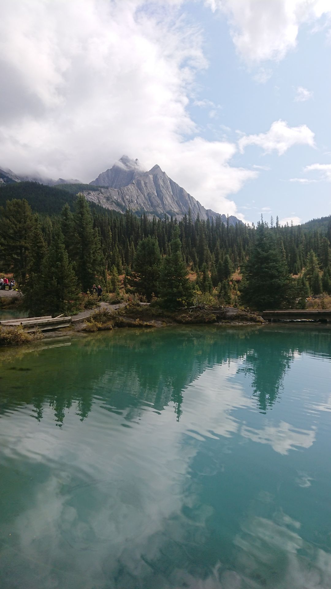
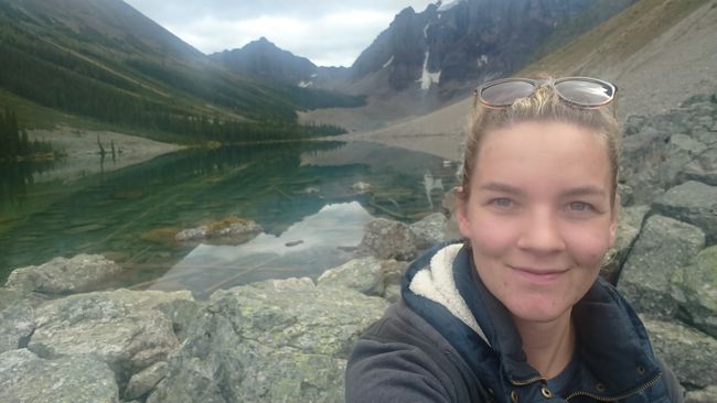
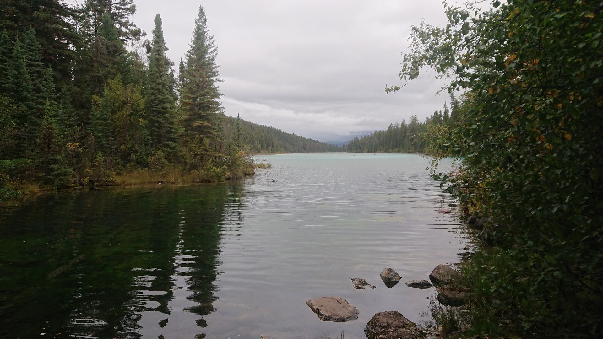
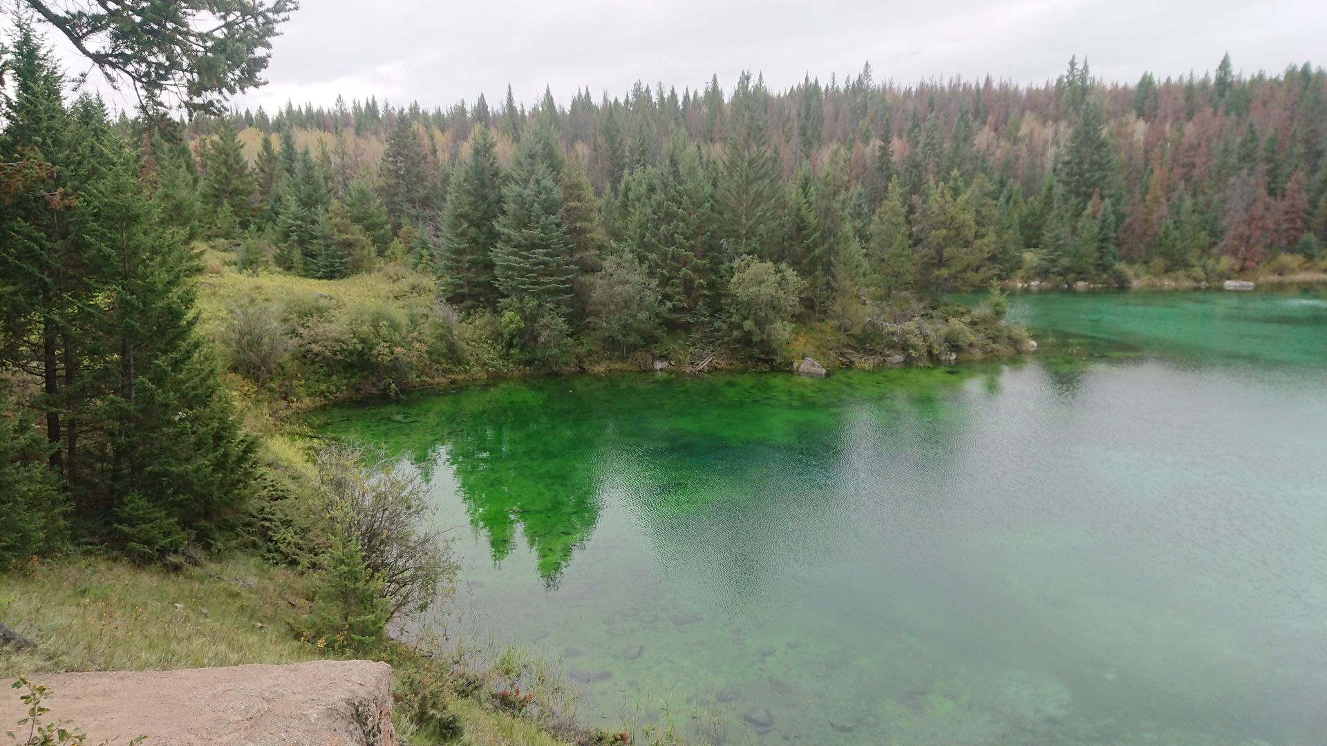
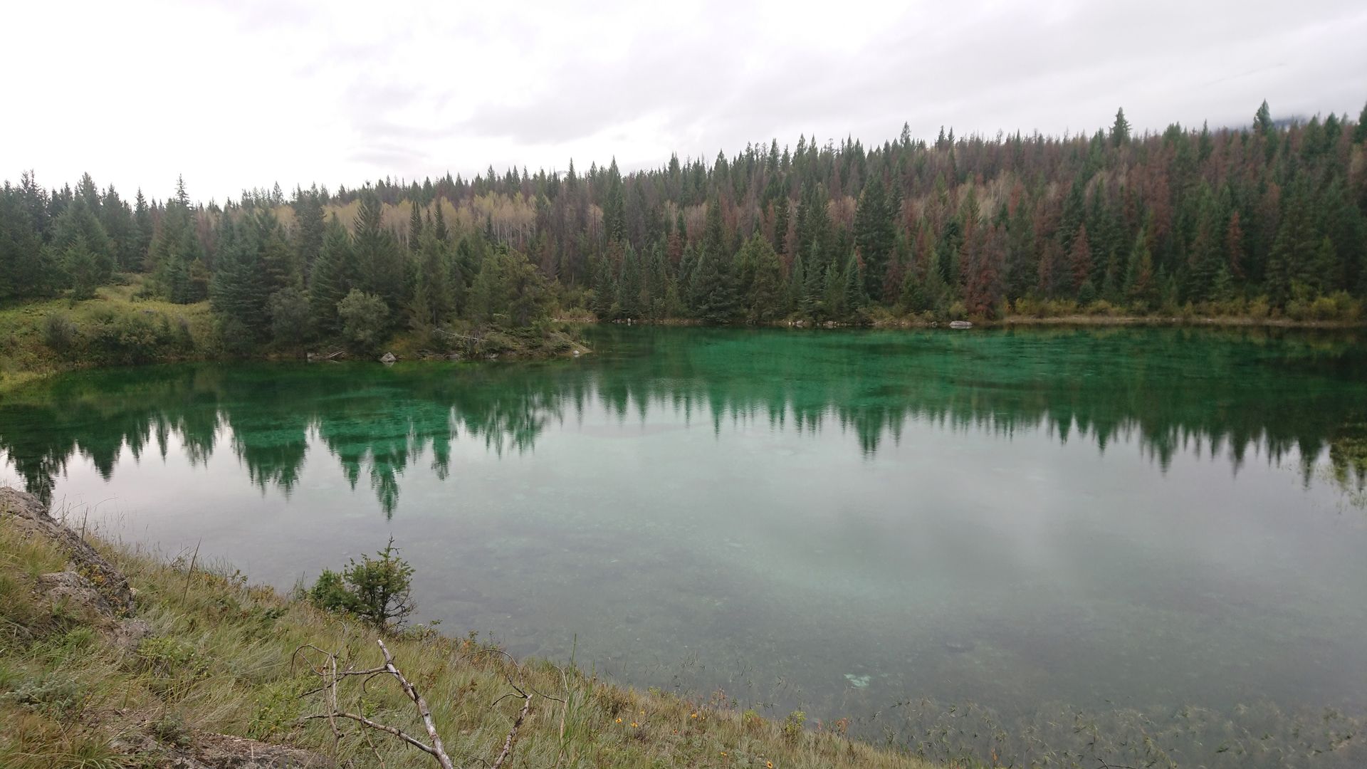
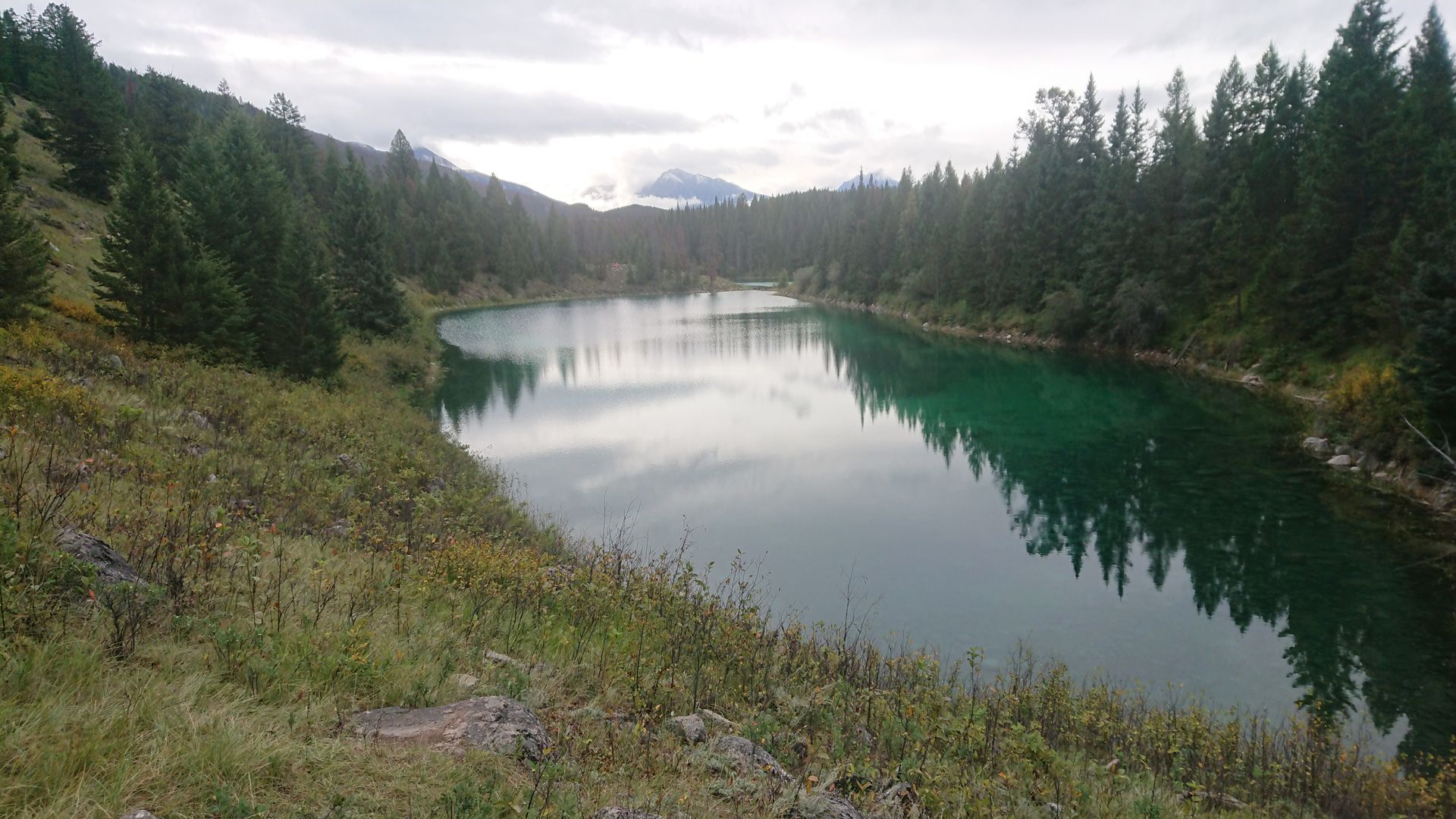
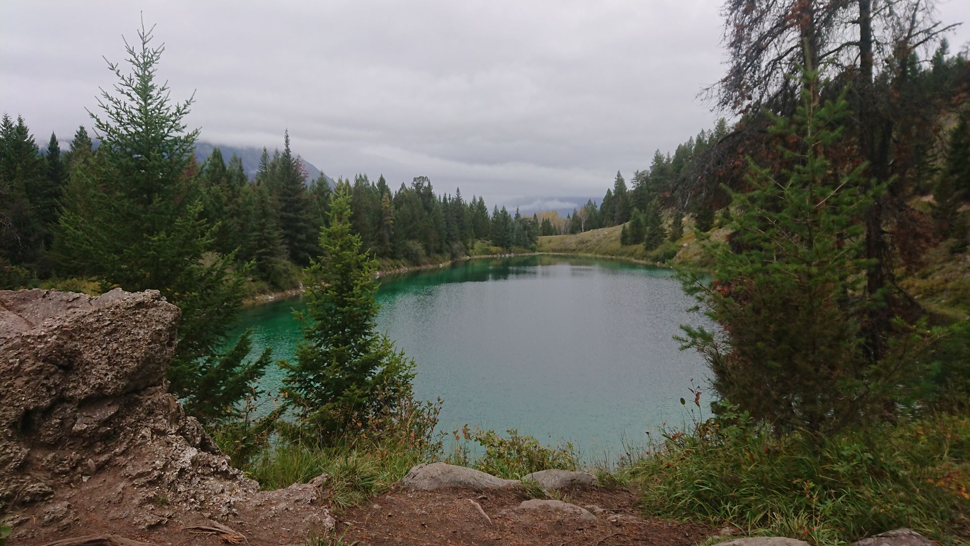
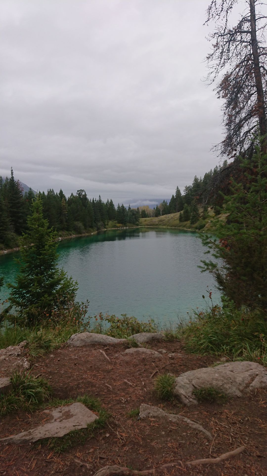
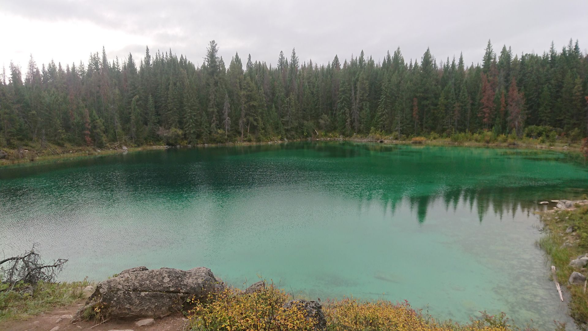
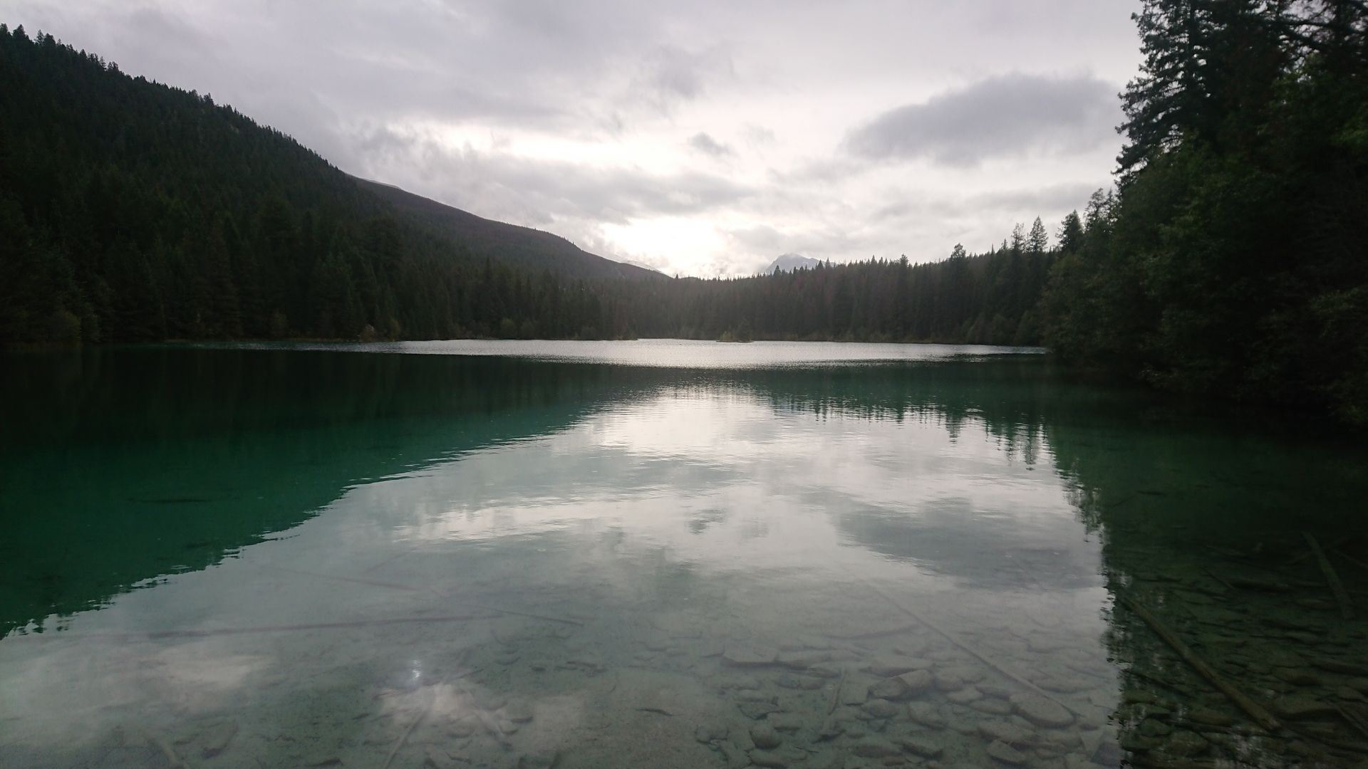
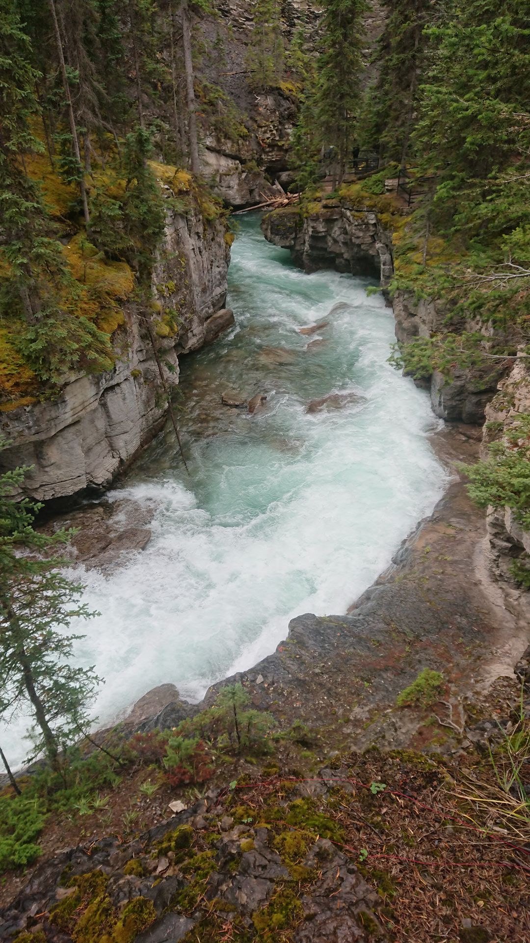
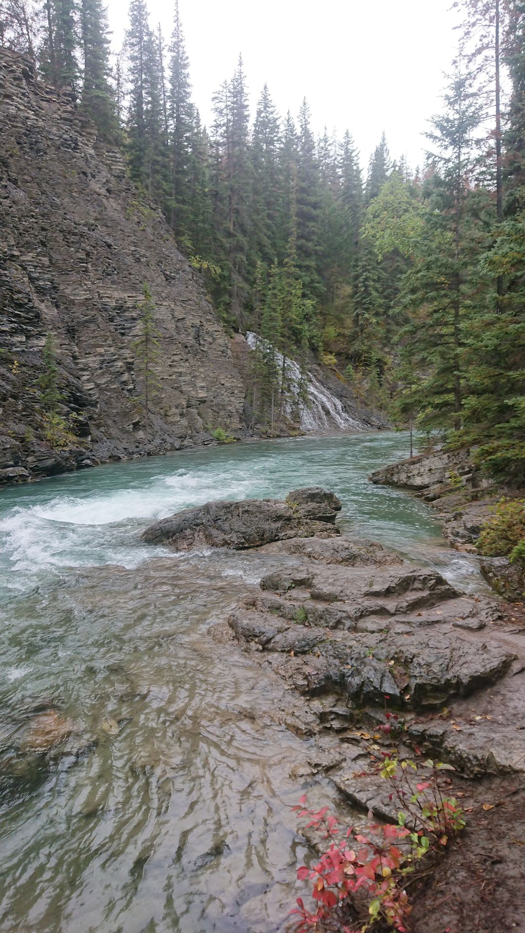
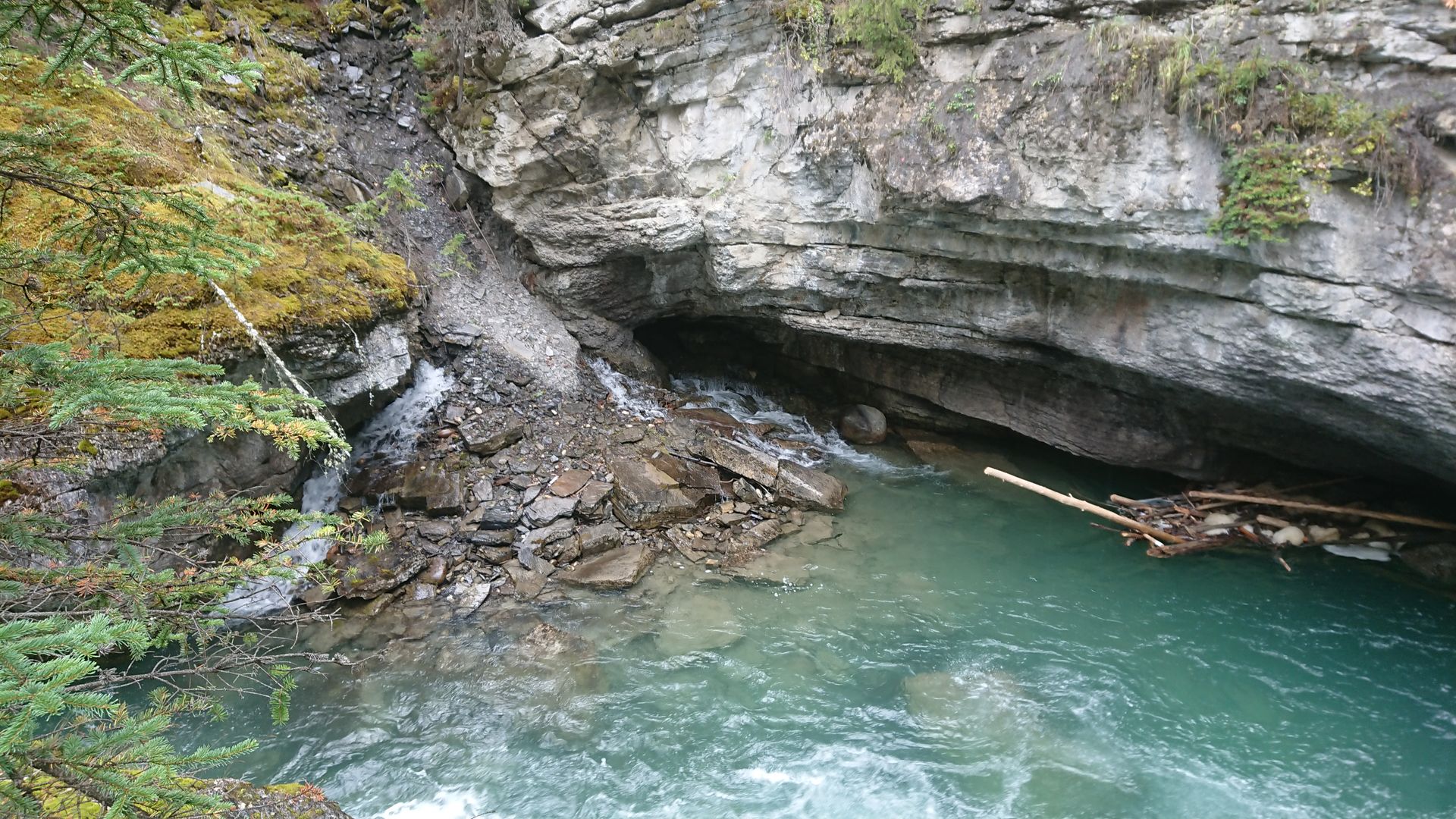
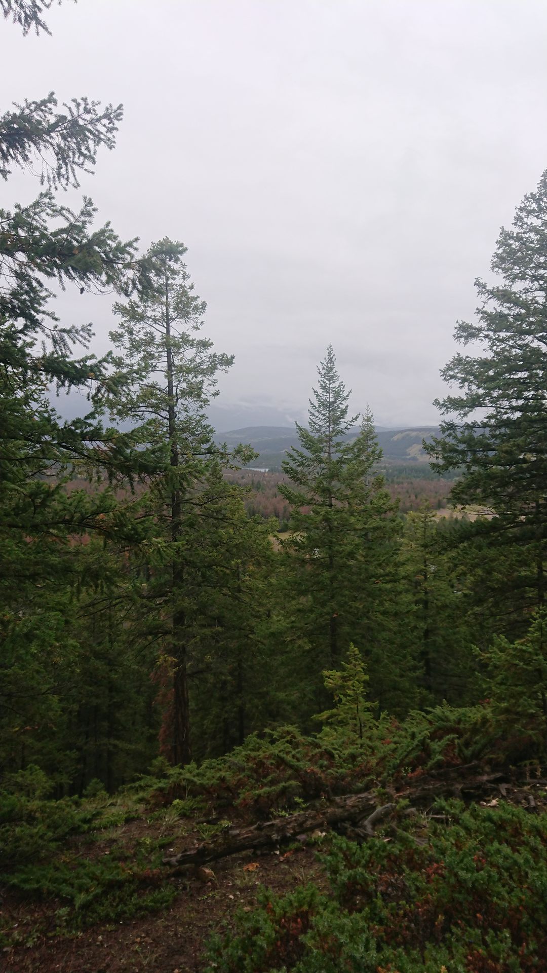
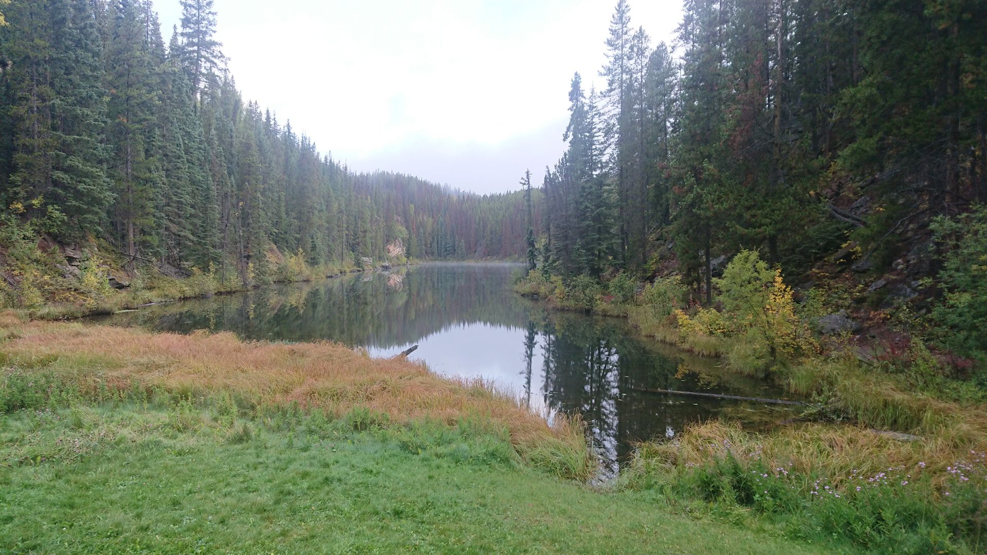
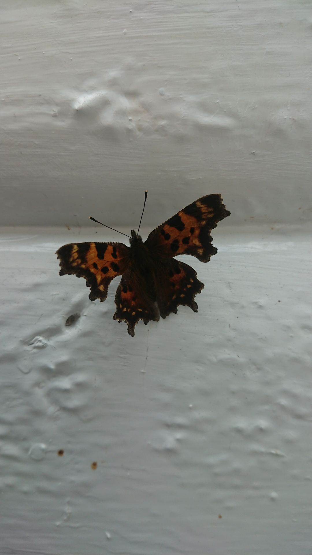
Sunday, my only day in Jasper, was very rainy. However, I was lucky that whenever I was walking, it was only raining lightly or even not at all. In the morning, I went for a short hike in the Valley of the Five Lakes, where I was still almost the only one, even though it was no longer early in the morning. A circular trail led past the five small lakes, and when I was still enjoying the tranquility at the fifth lake, it started to rain. I drove back to the village of Jasper and killed time, hoping the rain would decrease. After 2 hours, it was still raining, but I still wanted to visit the Maligne Canyon. As soon as I reached the parking lot of the canyon, the rain stopped. I walked along the Maligne River, which flowed deep down in the gorge. So deep that at times I couldn't even see the bottom. On the way back, I walked a bit higher up the hill, but due to the clouds, I was denied the view. As soon as the parking lot came back into sight, it started raining again. I drove back to my accommodation and had a cozy evening indoors.
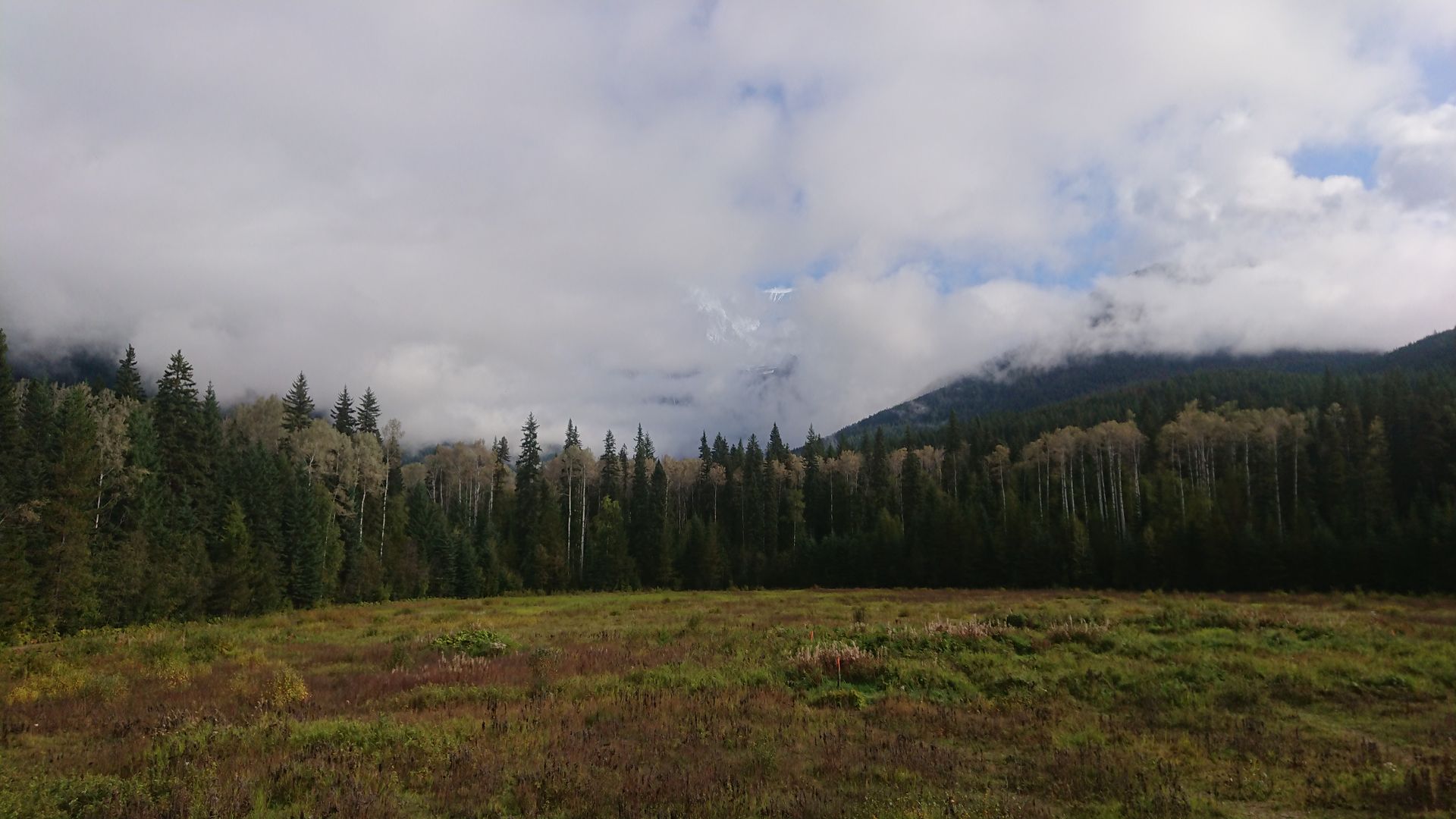
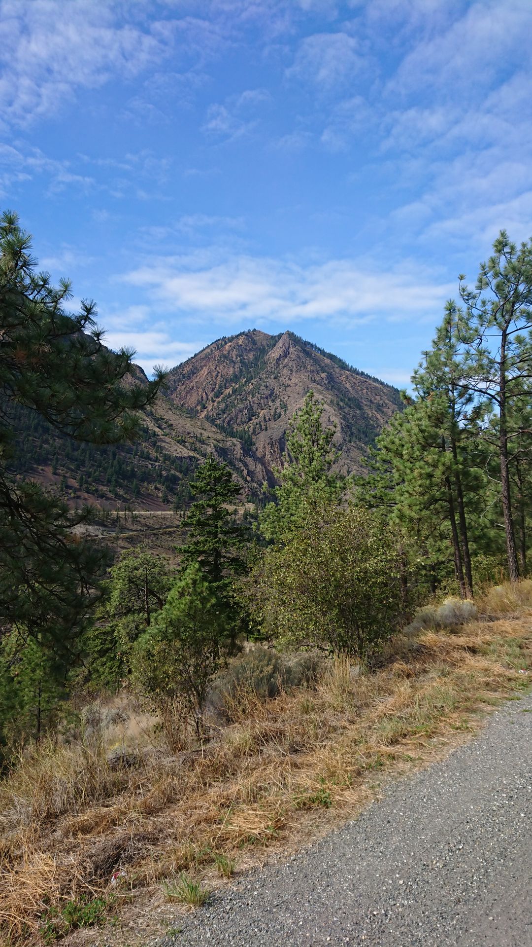
On Monday, I went to Robson Provincial Park, which bordered Jasper National Park. I made a photo stop at Portal Lake and the Fraser River. Then I stopped at Mount Robson, the highest mountain in the Rockies. I had to wait a bit for the clouds to clear around the impressive mountain. Once I had taken my photos, I continued to Clearwater, from where I will explore Wells Gray Provincial Park in the next few days. This park is known for its many waterfalls that flow through the lava rock canyons.
On Tuesday, I hiked to the Mouls Falls. Actually, you could walk behind the waterfall at the Mouls Falls, but the trail was closed because it was too unstable. Since I mainly went to these waterfalls because of that, I was quite disappointed.
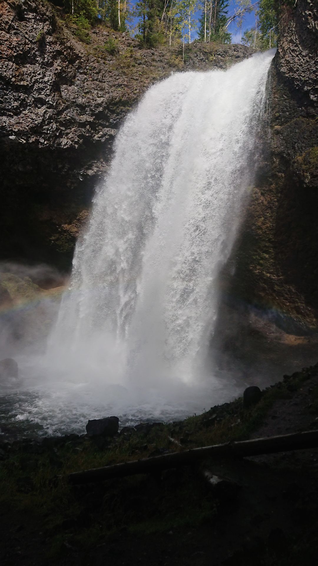
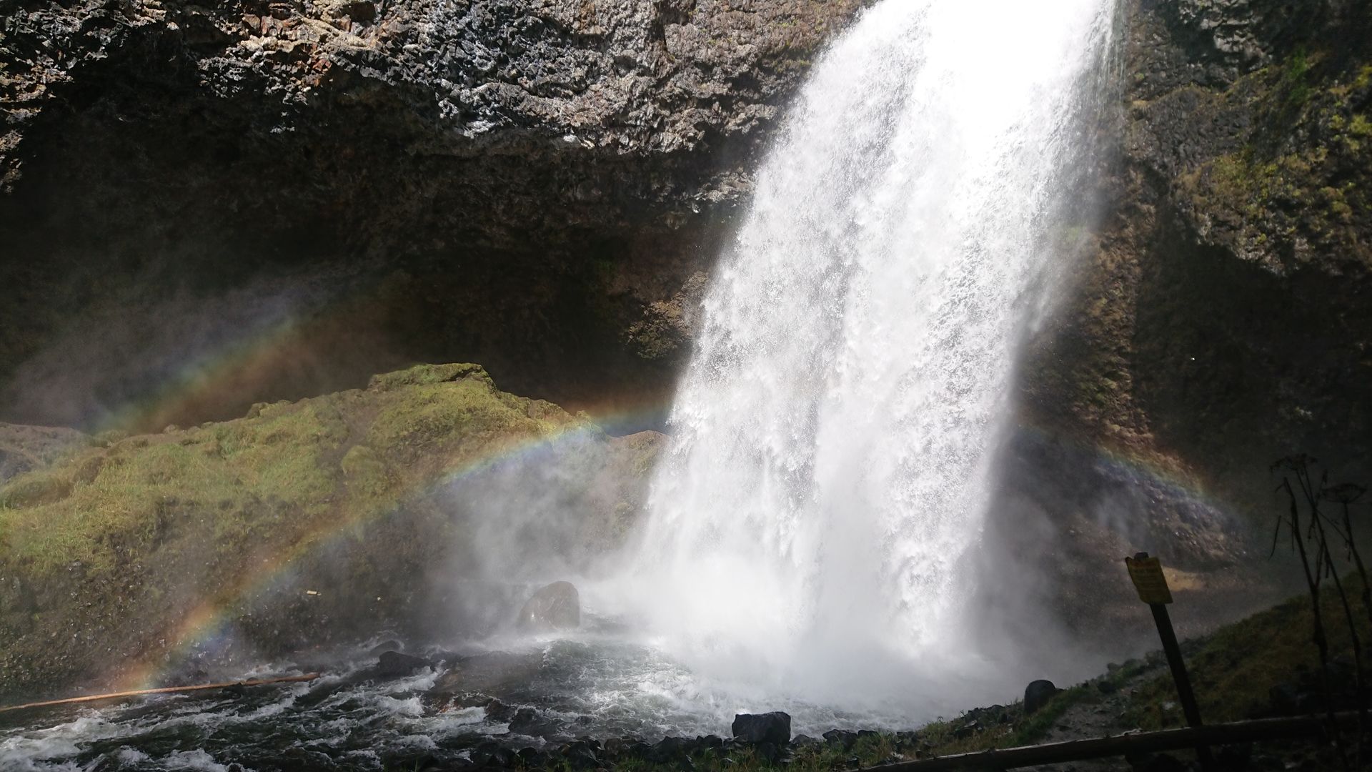
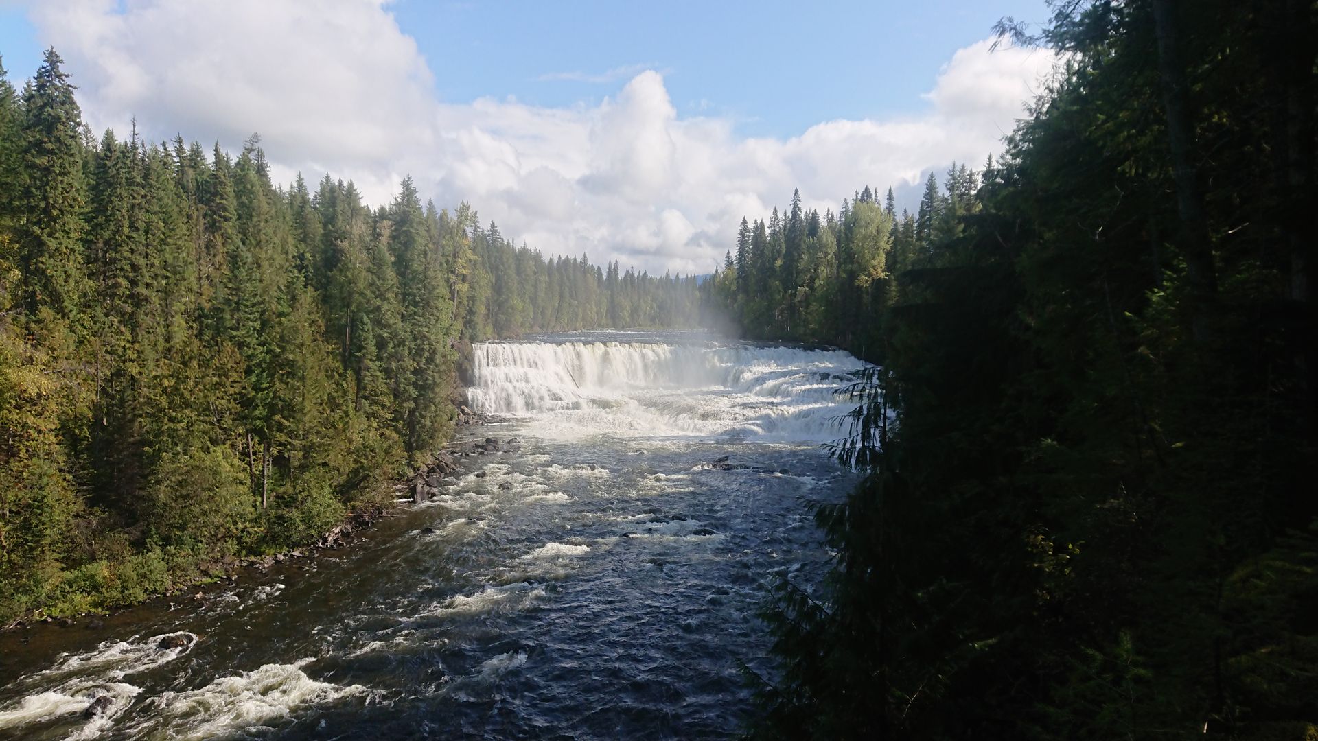
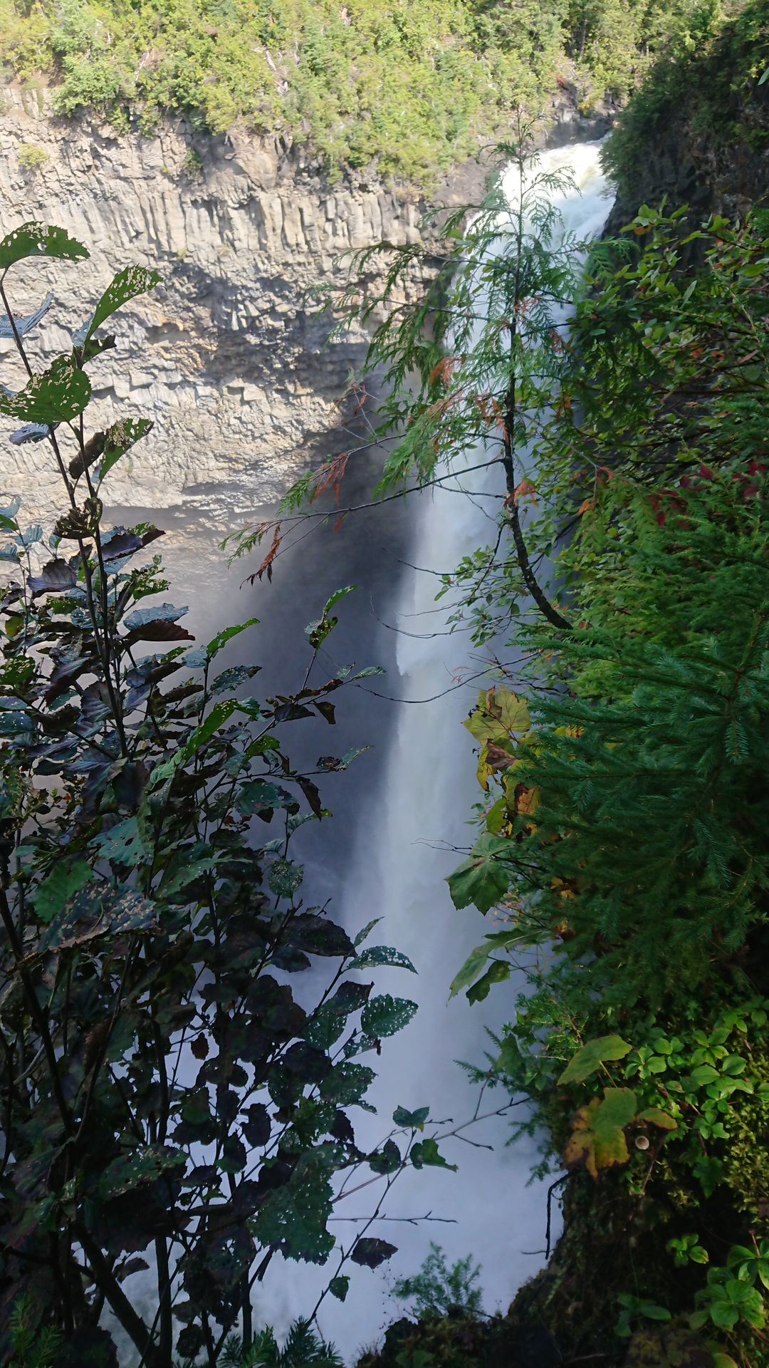
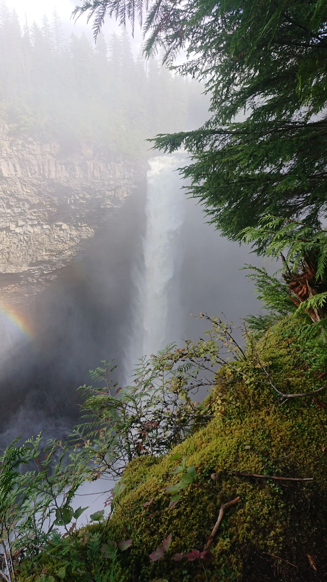
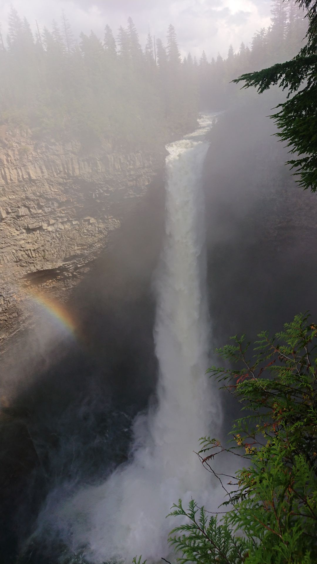
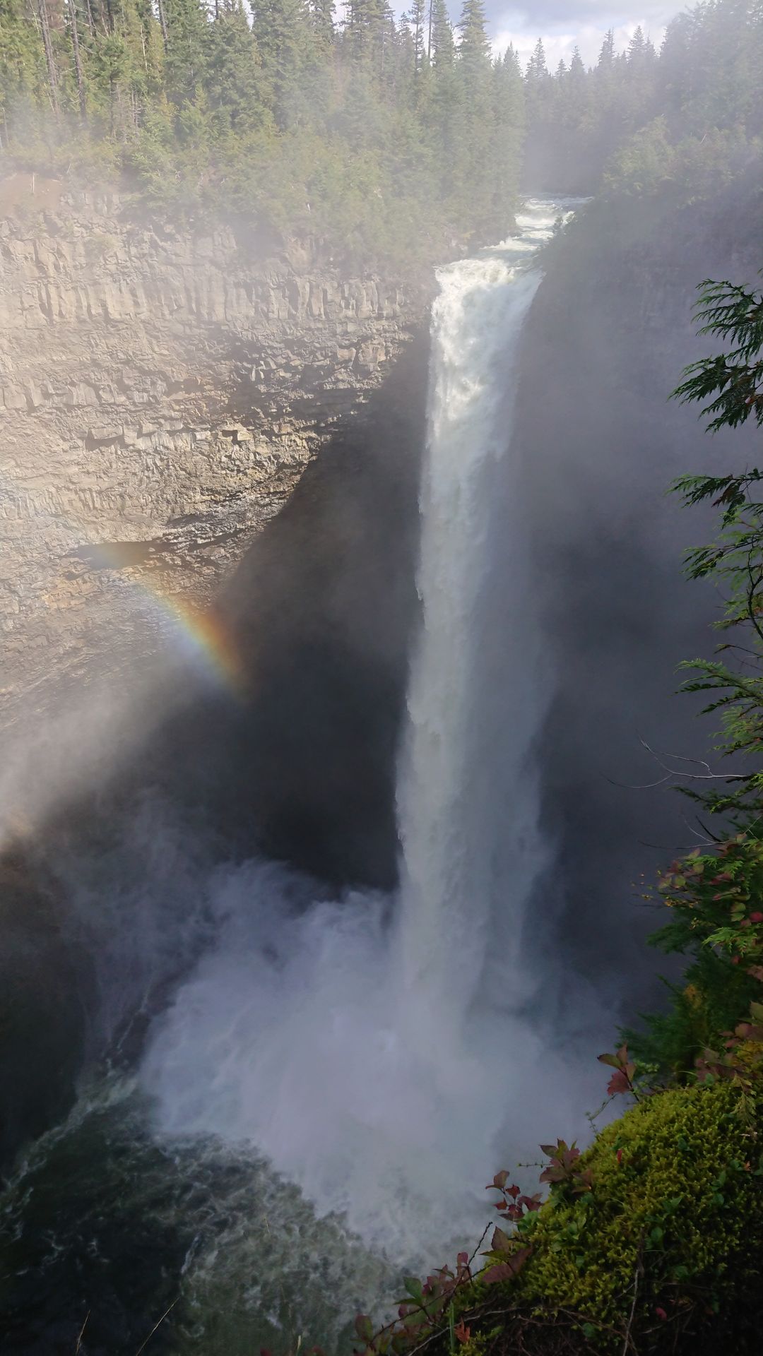
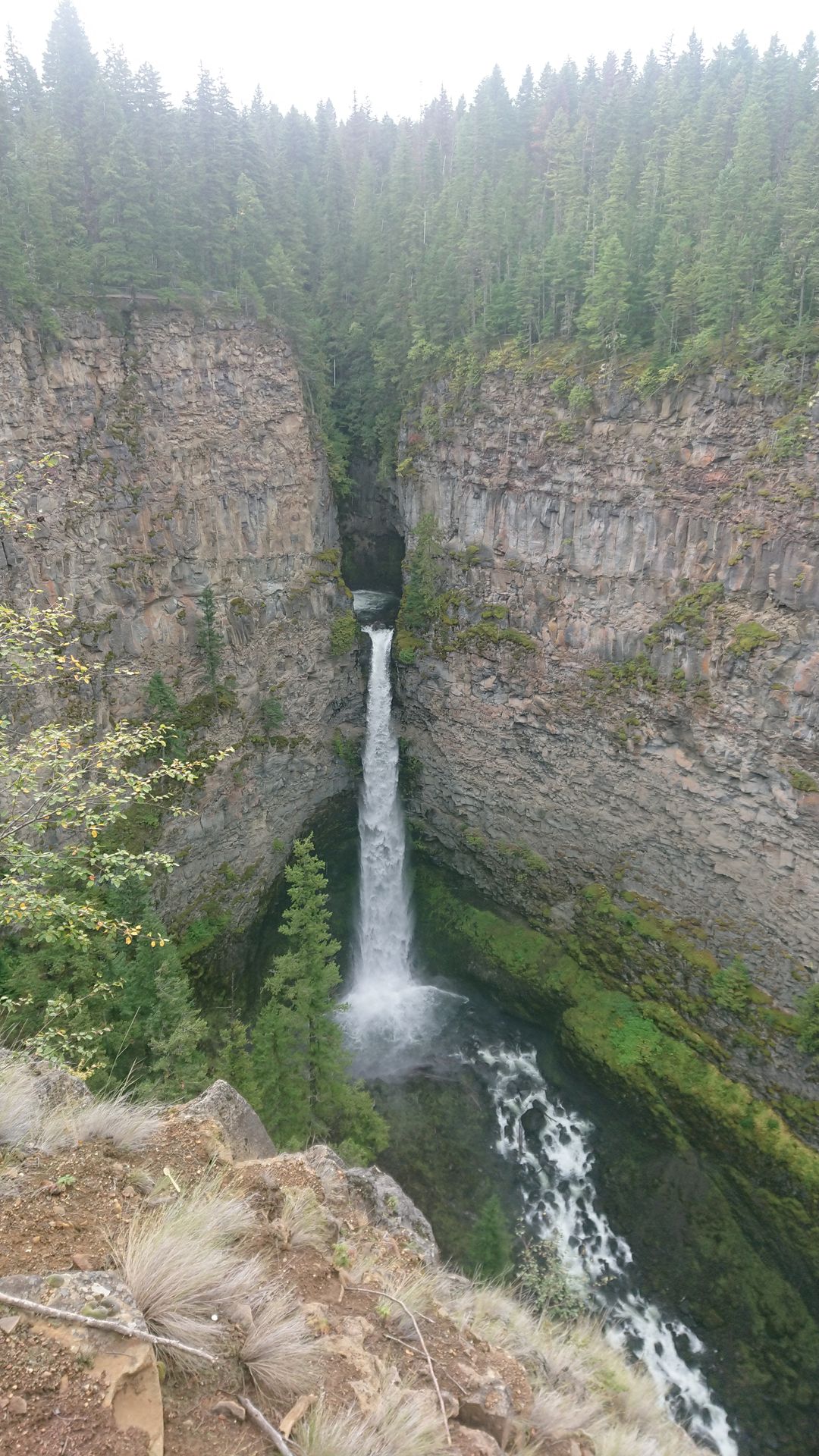
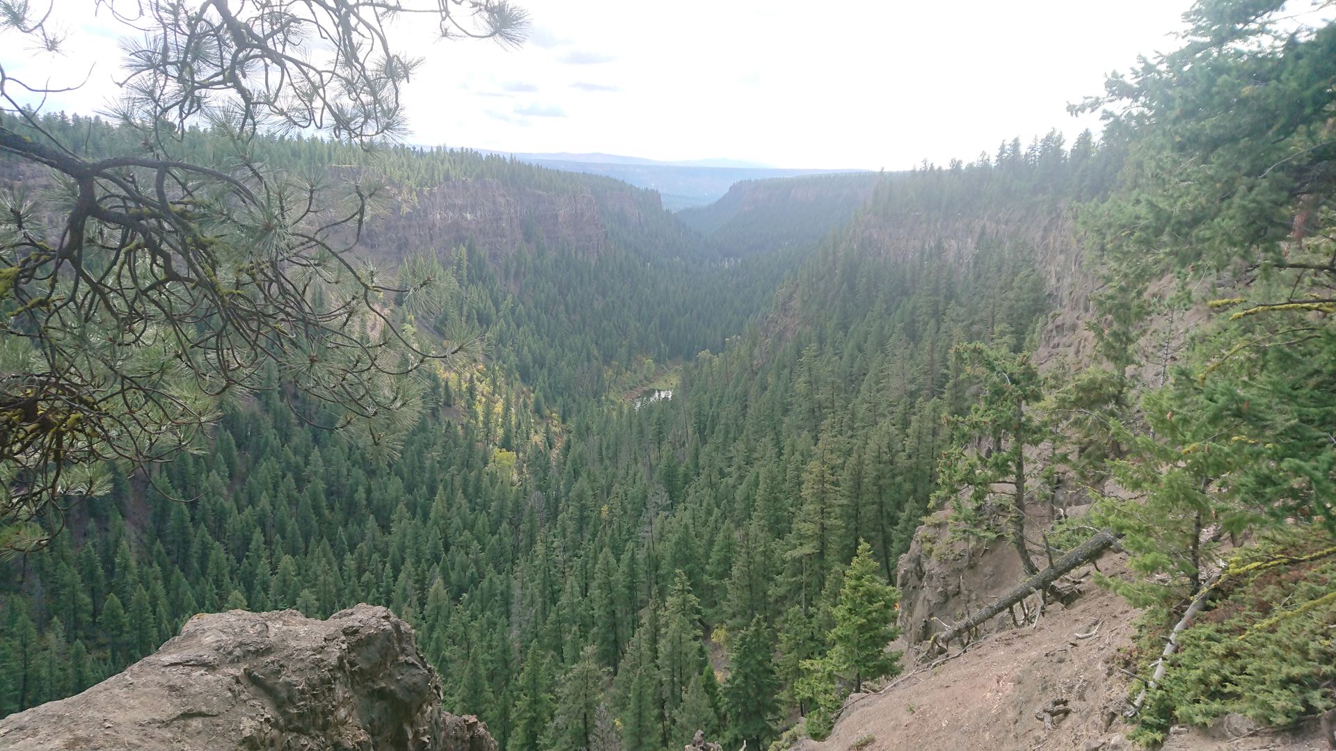
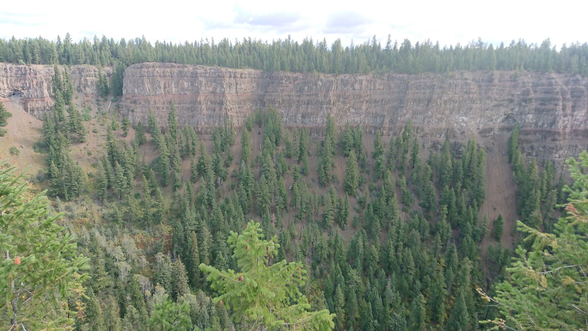
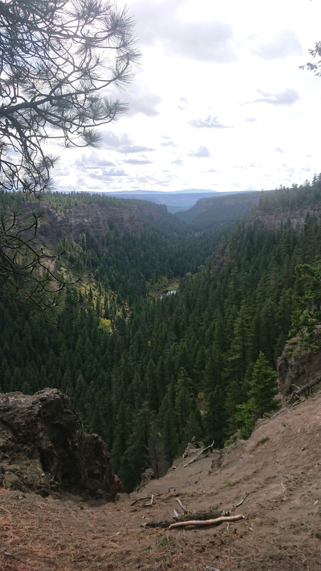
On Wednesday, I went to the Helmcken Falls. On the way, I made a photo stop at Dawson Falls, which looked like mini Niagara Falls. A hiking trail led through the forest along the Murtle River to the edge of the 141-meter-deep gorge where the Helmcken Falls thundered. Since you could also drive by car to a viewpoint on the other side of the gorge, not many people took the walk.
On Thursday, it was very rainy again. I only went to the Spahats Falls briefly, the rest of the day I spent indoors.
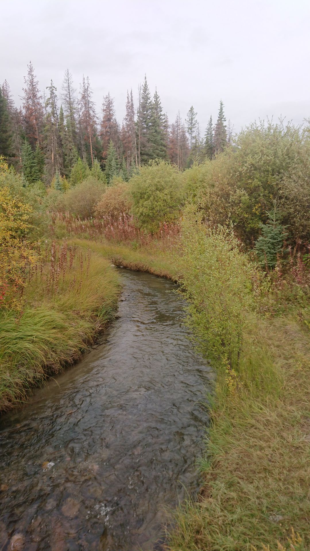
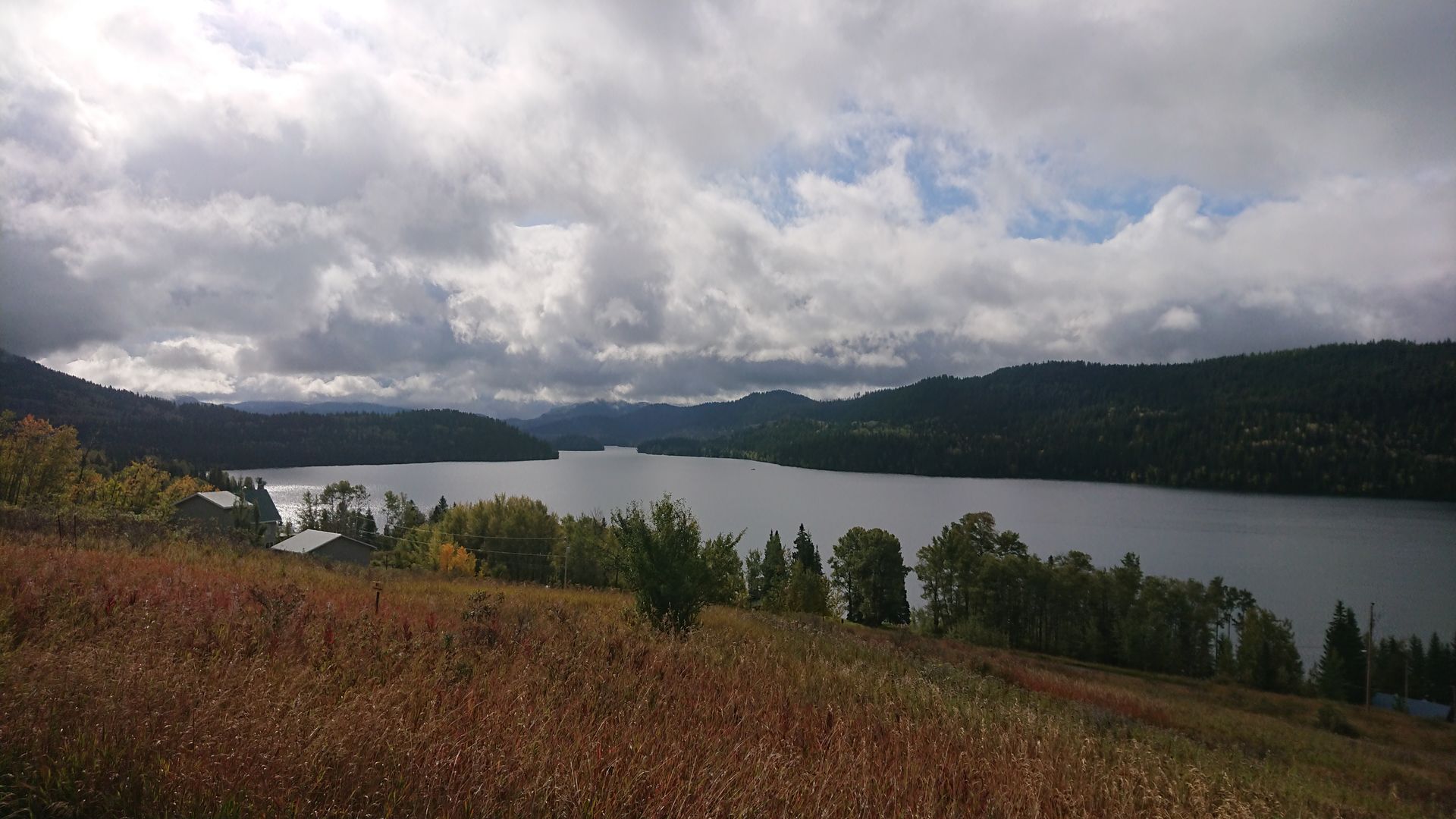
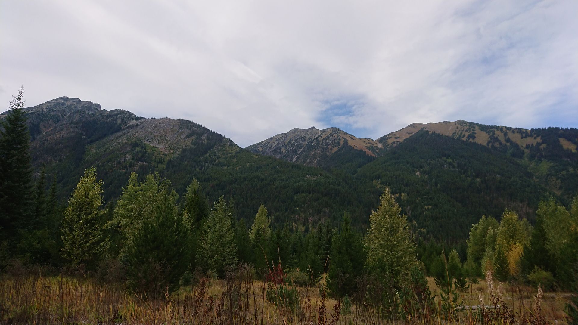
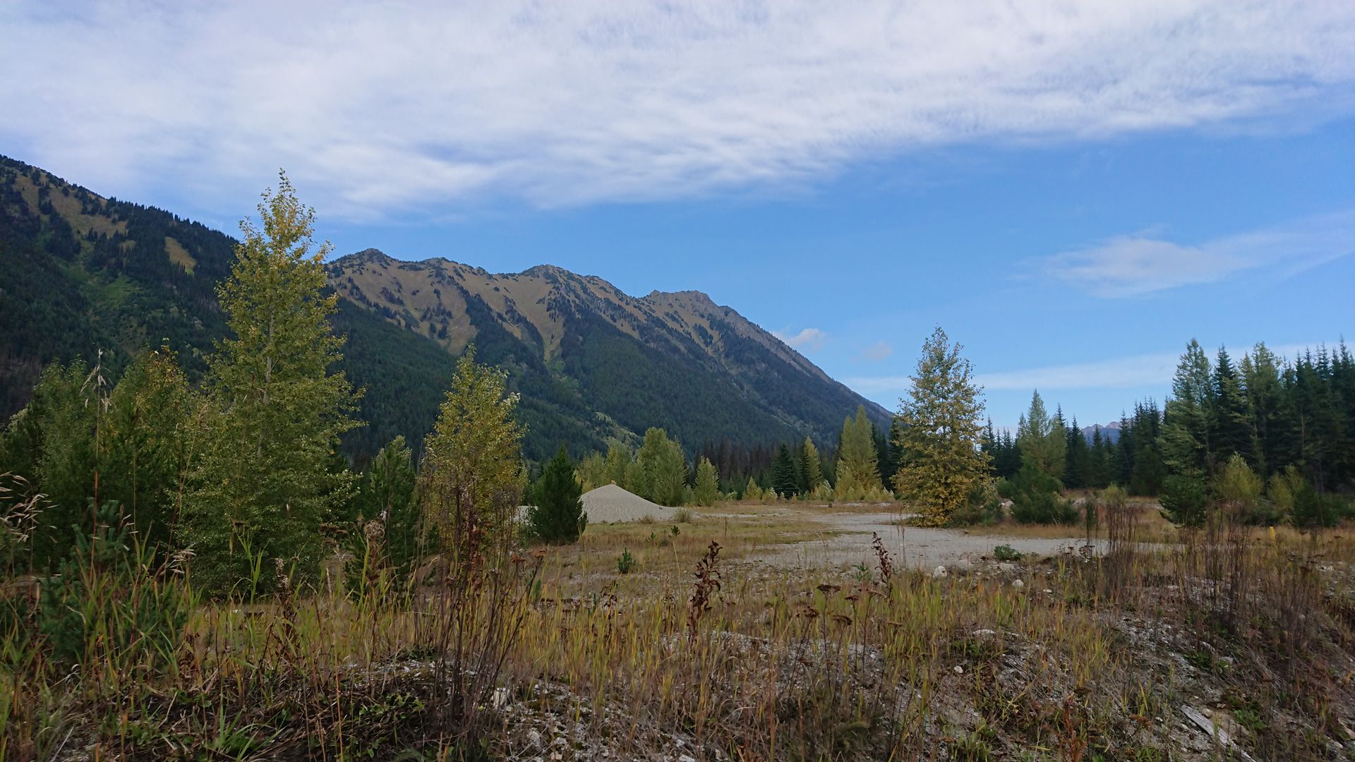
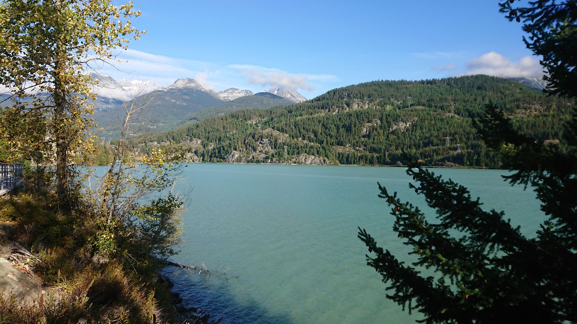
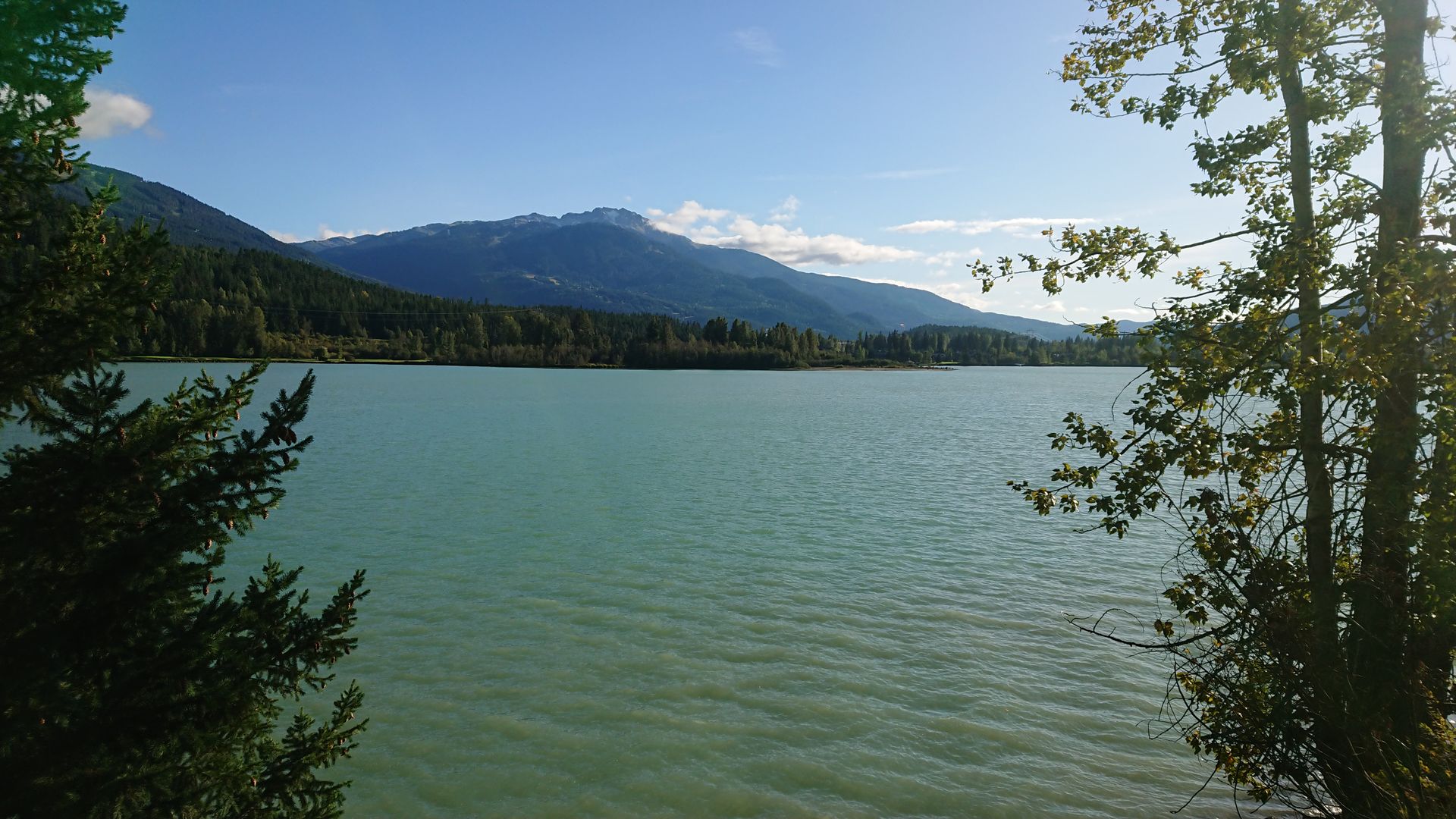
On Friday, I headed towards Whistler, driving through a constantly changing landscape. First, it was hilly with many lakes, then it became drier in the Kamloops region, and only a few pines grew on the mountains. In Whistler, it looked similar to the national parks in the Rockies with a lot of fir forest on the mountains.
On Saturday, I drove to the west coast. Since I wanted to travel Vancouver Island from north to south, I drove along the west coast of the mainland to the north. On the Sunshine Coast Highway, I made it to Powell River, my destination for today. I had to take the ferry twice to cross larger fjords. Unfortunately, the Sunshine Coast was not true to its name, but it was very cloudy and I was greeted with rain in Powell River.
On Sunday, I took the ferry from Powell River to Comox, then I continued north on the Island Highway. While it was raining on the ferry, it became sunnier on the road. My goal for today was my accommodation near Port Hardy, where I will be for the next few days.
समाचारपत्रको सदस्यता लिनुहोस्
जवाफ
यात्रा रिपोर्टहरू क्यानडा