6th July big hike Byrmarken
Ippubblikat: 07.07.2019
Abbona għan-Newsletter
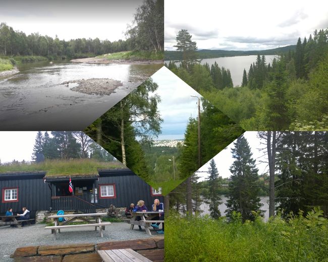
So, today I went on a big hike again. I tried to find the shelter from the first Sunday after my arrival using Google. Back then, Karin, the children, and I drove by car to a parking lot and then started walking. I found the name of the shelter:
Gronlia (it's the one in the picture)
I entered that into Google maps and according to Google, it should be a 6 km hike from my location to the shelter.
After 5 km, my phone started acting up again: I couldn't upload anymore. It kept saying battery empty, which is not true because I always have a charger with me and when I connect the phone and check after an hour, it still doesn't work. But as soon as I have Wi-Fi, everything is fine. I think my phone has problems with the Norwegian network.
So, no more directions and no more knowing where I wanted to go. I also didn't write down the name of the shelter anywhere. Then I passed by a house, a lady was sitting on the terrace, I asked her if she knew a shelter nearby. She obviously knew several but I didn't know the name of my shelter. So we googled it and I recognized my shelter in the picture, which was still 5 km away. The lady then gave me a copy of a hiking map and what I found really great is that she accompanied me part of the way so that I find the right path. It turned out in the conversation that she even knew Karin. She herself is a pharmacist and her pharmacy is almost next to Karin's practice. It's a small world.
I actually reached the shelter. After 11 km and not 6 km. The sun even came out now and then.
Byrmarken Nature Reserve is forest and lakes with a moor landscape. Huge and very beautiful hiking trails.
But it's not really my thing. I love hiking trails that are like the ones we have in the Allgäu. Always with a view of mountains and valleys. Only forest and a lake every 2 km is not enough for me.
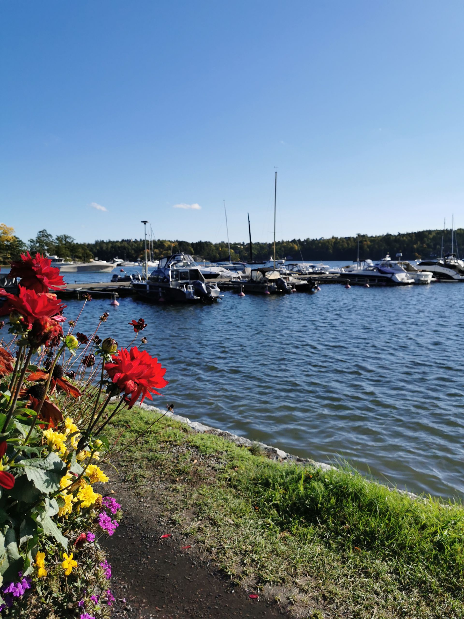
That's why the hiking trail along the fjord was much nicer right at the beginning.
In any case, I walked over 28,000 steps and exceeded my daily requirement.
Abbona għan-Newsletter
Tweġiba


