On the paths of Middle Earth: Mount Doom and Mount Tongariro
Ippubblikat: 01.07.2018
Abbona għan-Newsletter
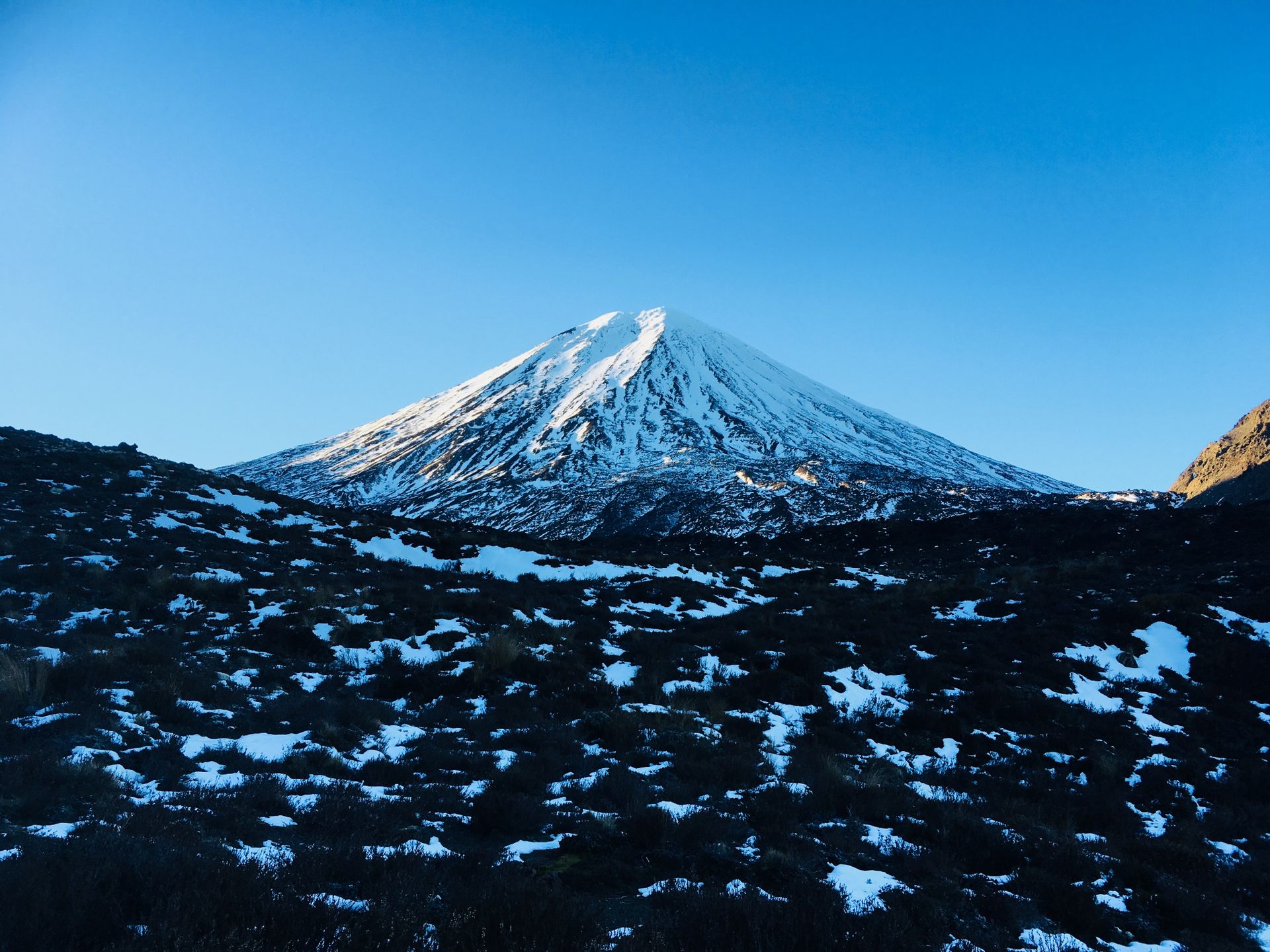
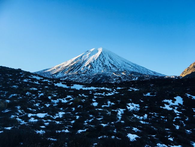
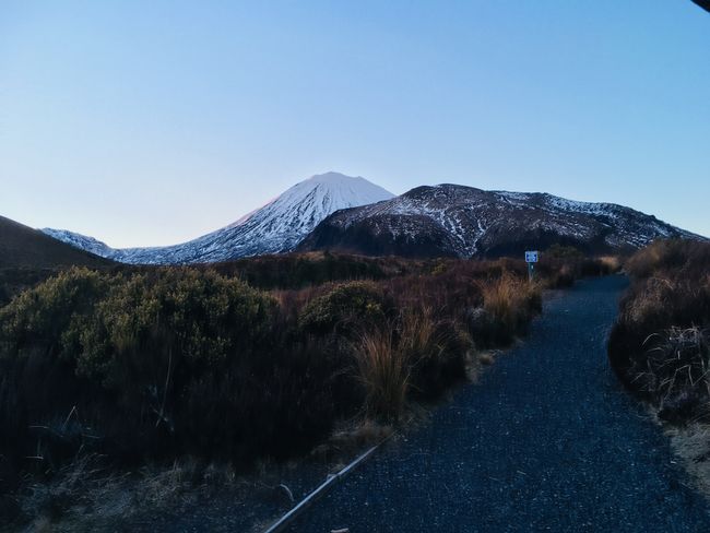
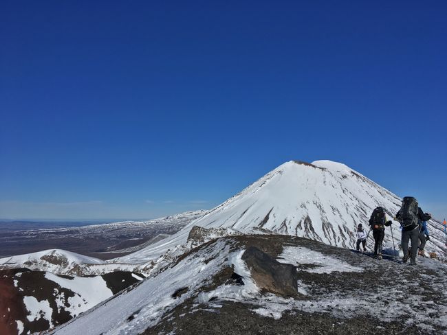
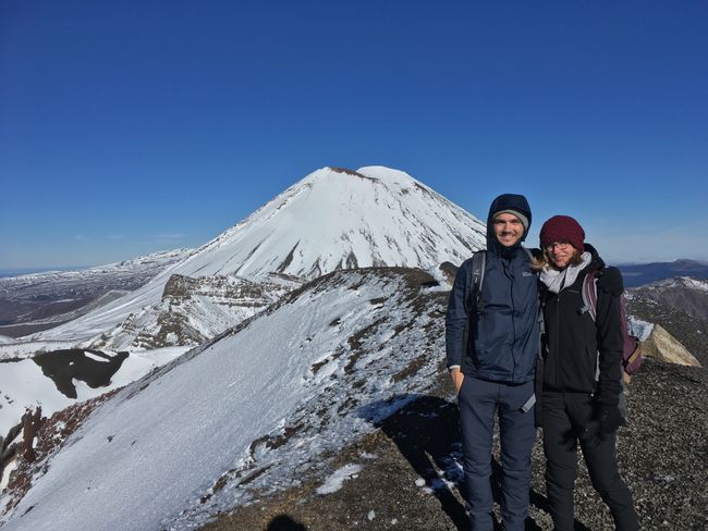
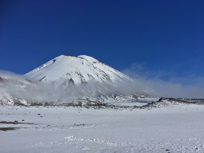
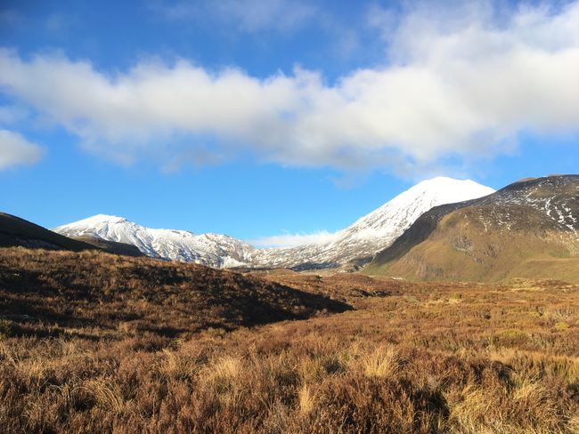
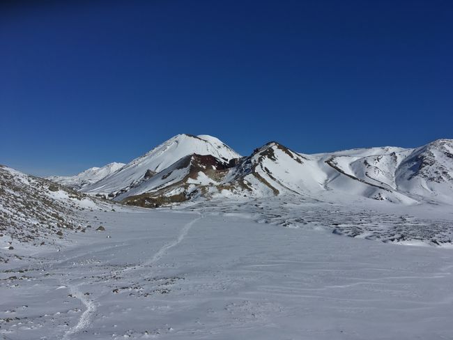
New Zealand has countless great national parks and beautiful mountains, which is probably known to anyone who has at least briefly dealt with this country on the other side of the world. One of the recommended hikes through one of these parks is the alpine crossing in Tongariro National Park. This is New Zealand's oldest national park and a World Heritage Site, and is home to three beautiful volcanoes: Ngauruhoe, Tongariro, and Ruapehu. Lord of the Rings fans, of course, know that the first one is also known by another name: Mount Doom. Here, Frodo and Sam climbed the last steps to destroy the ring. And we wanted to take those steps too... well, at least as far as we could, because the Tongariro Alpine Crossing actually only passes by this volcano and not over it. But you climb Mount Tongariro up to 1967 m and have a really good view of it on the way there.
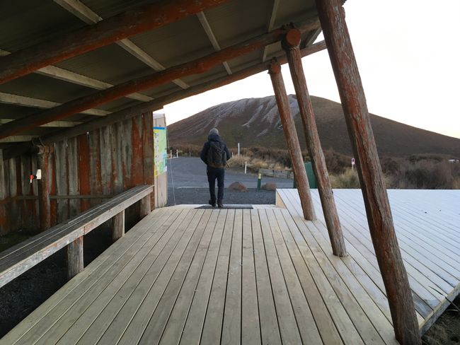
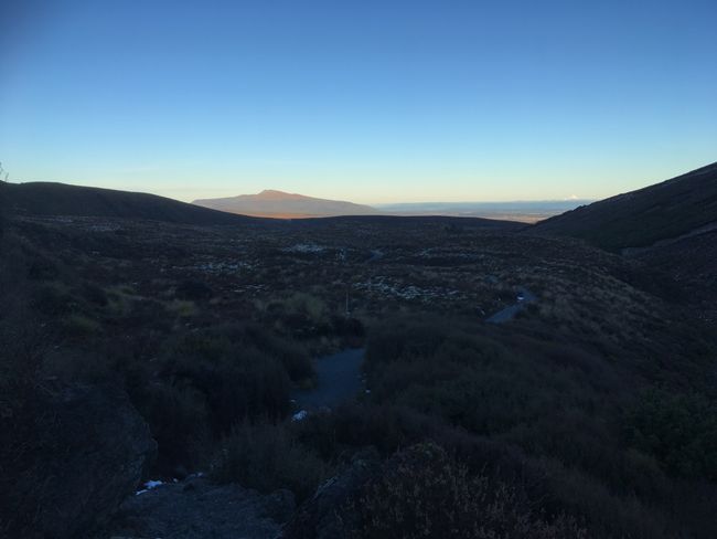
Our hiking day started with one thing above all else, and that was very early. The plan was to experience the sunrise on the mountain, which meant being there by 7 o'clock at the latest. Since camping in the area was usually not free, we decided to sleep a bit further away and leave earlier in the morning. So the alarm clock went off at 5 o'clock in the morning... totally our time. But after a bit of "mimimi" and "I'm so cold" (yes, it was only about 2 degrees that morning), we were really looking forward to our hike. We underestimated the time schedule a bit, but we were at the parking lot at least for the sunrise, if not on the mountain. In retrospect, we also realized that it wouldn't have been a good idea to climb up there in the dark and it wouldn't have been really feasible time-wise either.
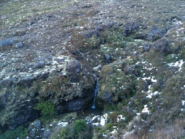
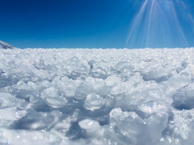
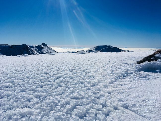
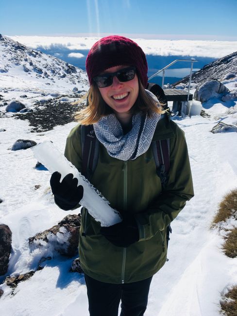
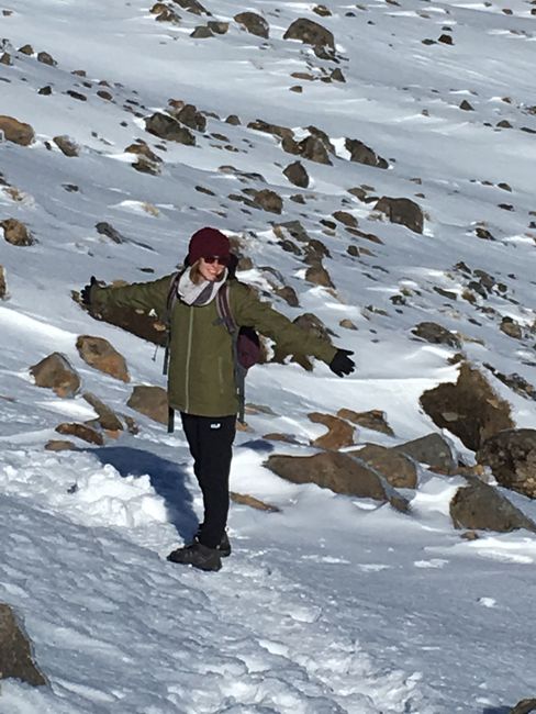
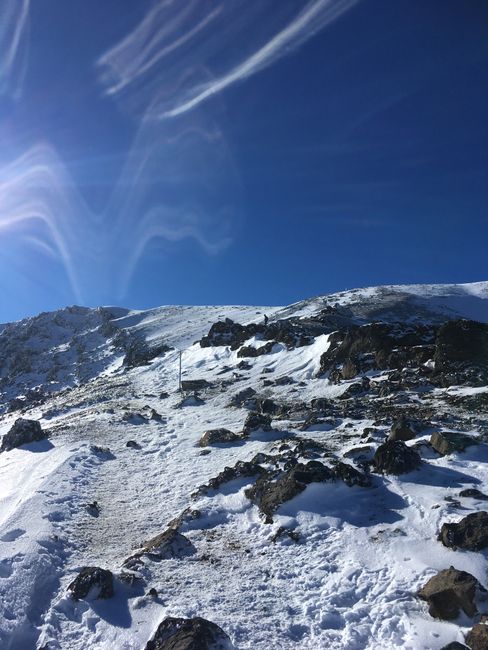
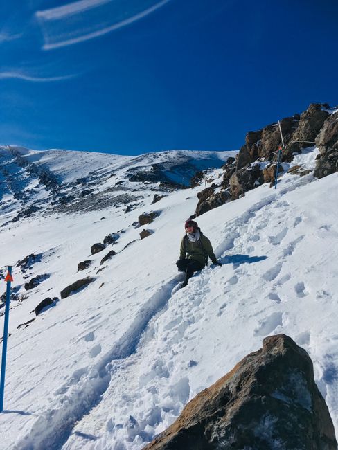
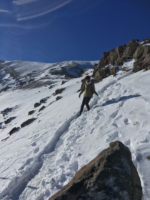
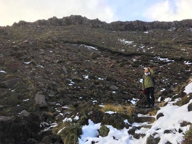
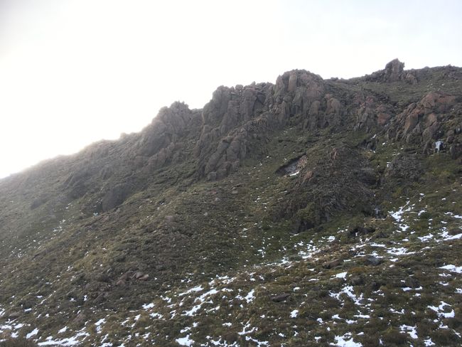
After a quick breakfast, we set off happily. First, it was a bit flat and then it went up quickly. After a few meters, we encountered the first snow and the first effort involved (snow in June :D). We had checked the weather a few times beforehand, as there should only be a nice view in really good weather. Fortunately, the weather forecast kept its promise and we were able to conquer the ascent in brilliant sunshine to enjoy the fantastic view.
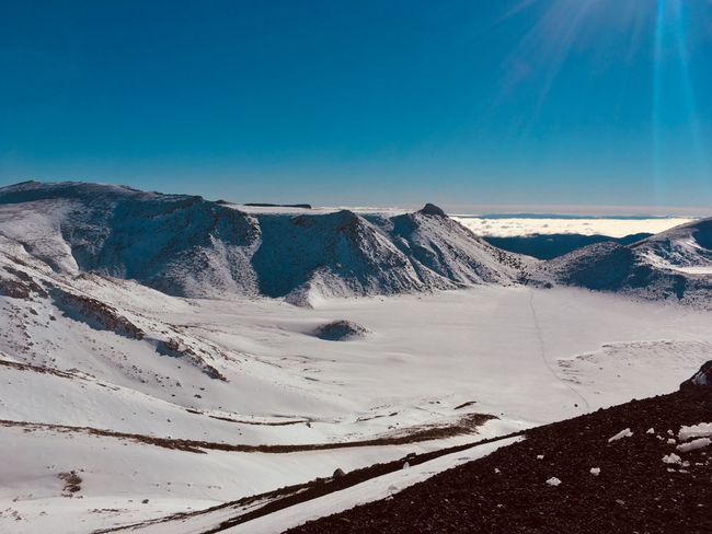
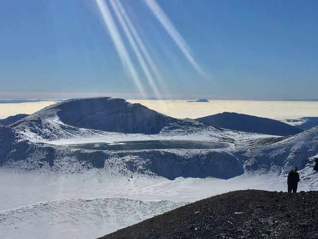
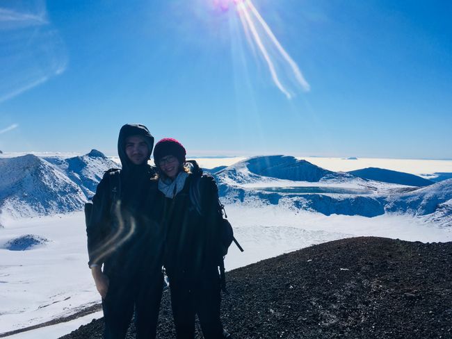
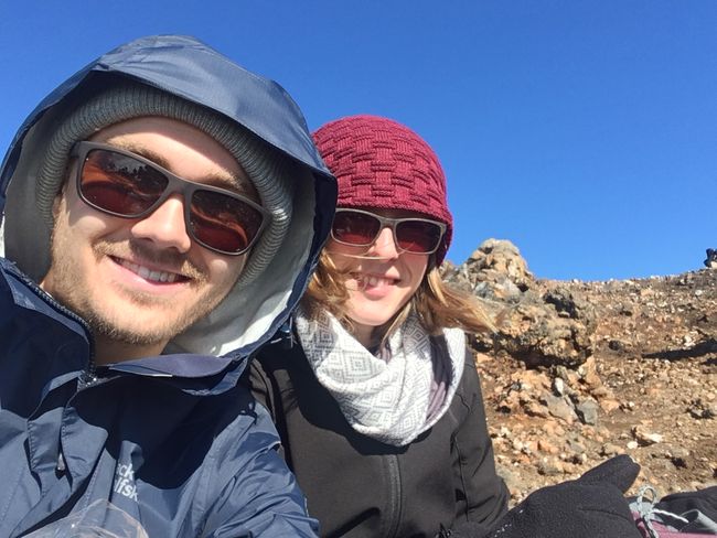
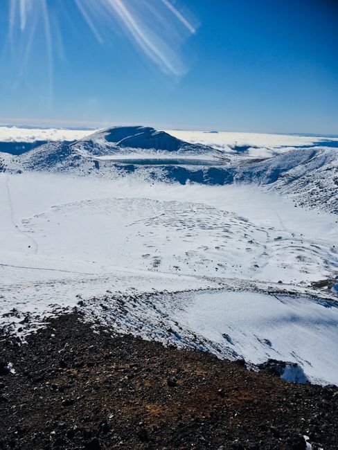
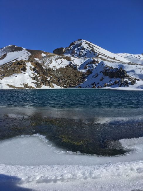
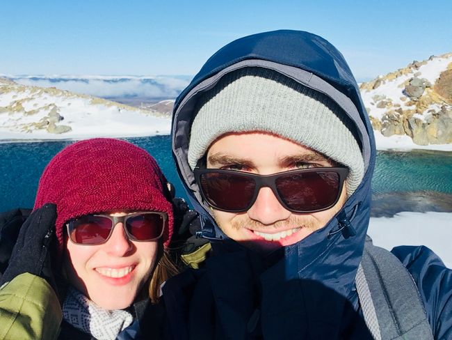
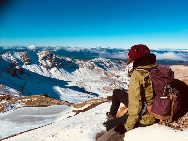
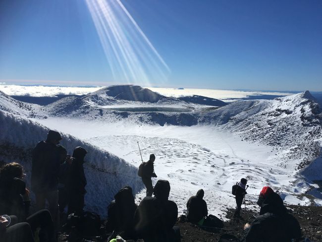
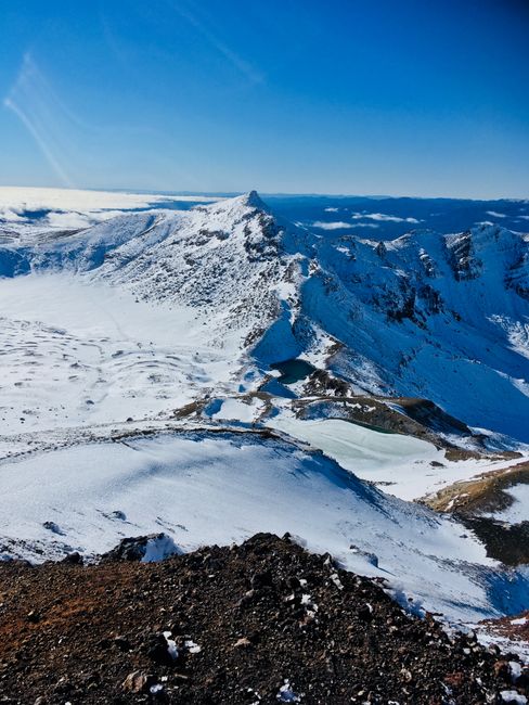
The path wound further and further up to Mount Tongariro until we finally stood at the top. From there, we had a breathtaking view of the surrounding mountains and the famous lakes "Blue Lake" and "Emerald Lake". The half to completely frozen lakes seamlessly blended into the radiant white winter landscape and appeared like large mirror surfaces towards the sky. They were not as blue and greenish as expected due to the ice, but that didn't make them any less beautiful. If you want, you can quickly google Tongariro Alpine Crossing and immediately find pictures that were taken in summer. The ascent was definitely a challenge for the Northerner in our duo and was accompanied by some slips and swear words (Chantall still swears to have bruises from it). But it was absolutely worth it! The view, the air, and the physical activity put a big smile on our faces.
Usually, you walk in one direction on this hike and get picked up by a shuttle at the end. But since we wanted to save a bit, we chose the longer option and walked down to the lakes after Mount Tongariro and then climbed the mountain again (even more swear words at this point) and went back the same way to the parking lot. In total, we covered a good 20 km and about 8 hours of walking.
In the end, we were very tired, very happy, and very hungry back in the car. What a day!
Best regards from cool New Zealand to currently very hot Germany!
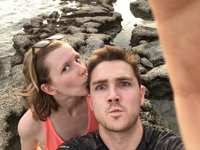
Tally and Tobi
Abbona għan-Newsletter
Tweġiba
Rapporti tal-ivvjaġġar New Zealand
