Hiking day at Mt Tantalus
प्रकाशित: 06.02.2018

बातमीपत्राचे सदस्य व्हा
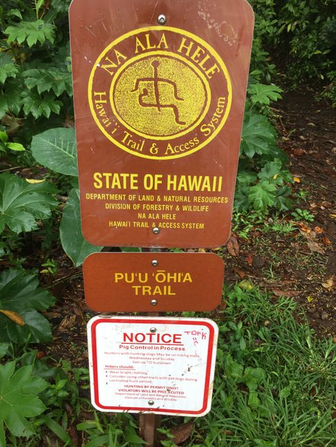
Last night it rained heavily and unfortunately it was still overcast in the morning. A perfect day to hike one of the trails at Mt Tantalus. Equipped with drinking water, mosquito spray, and sunscreen, I let Hajo drive me to the Pu u Ohia Trail and arrange for him to pick me up at the endpoint of the Manoa Falls Trail in 2 1/2 hours. My GPS watch can't find a signal, but that's okay, there aren't many paths through this dense jungle.
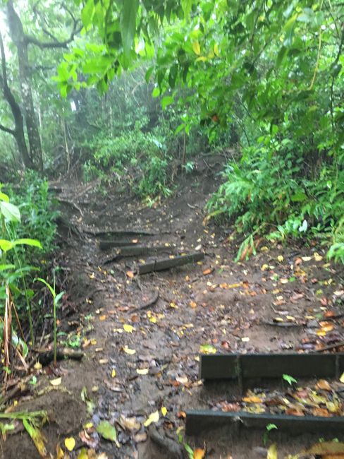
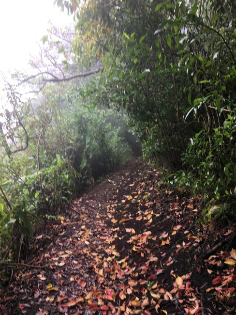
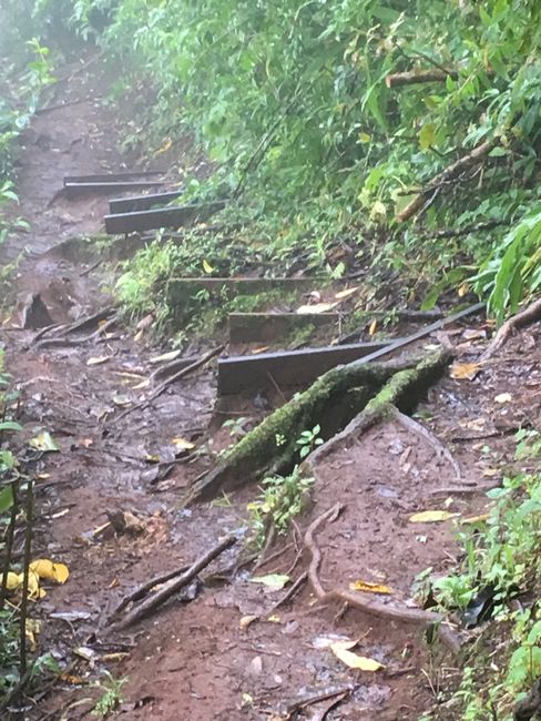
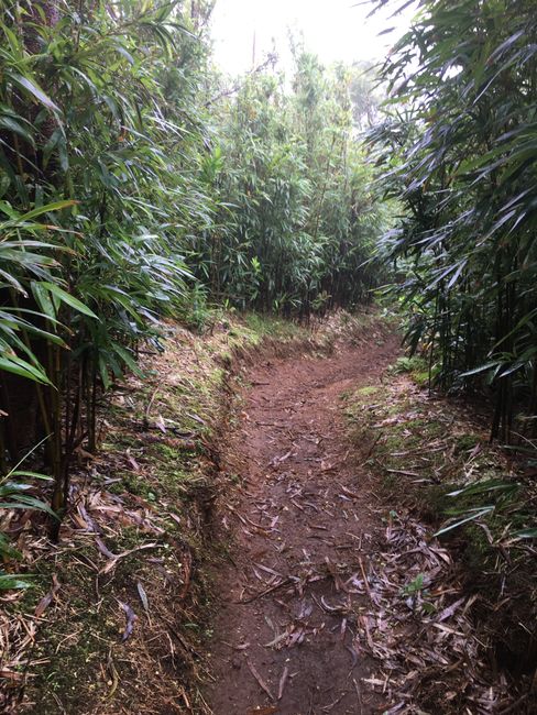
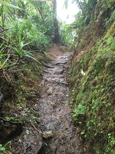
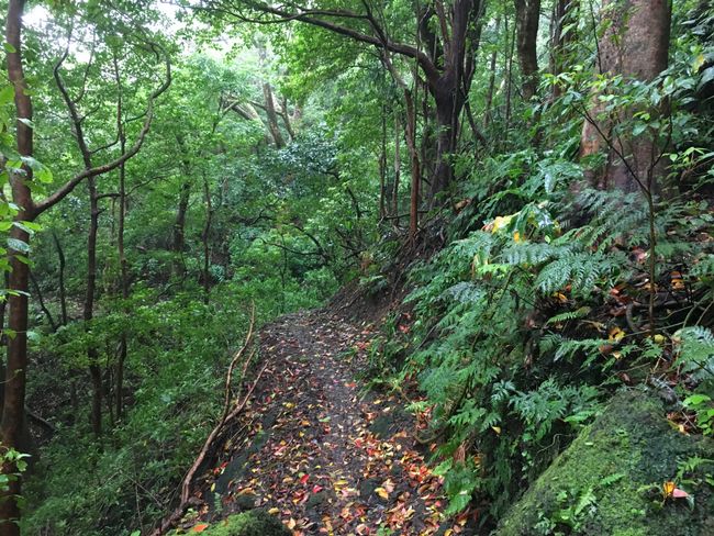
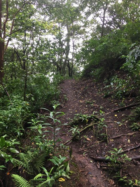
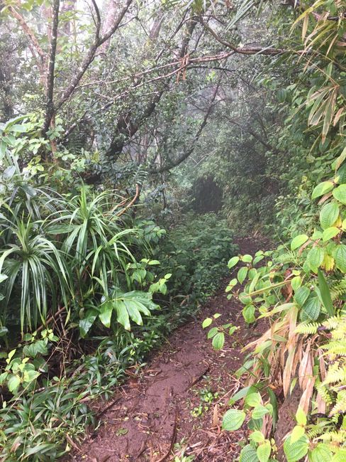
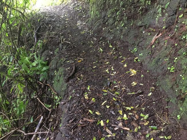
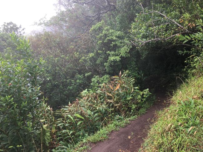
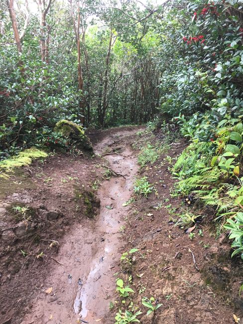
Right at the beginning, it gets sporty, going up a narrow jungle path. I'm already grateful for the hiking boots.
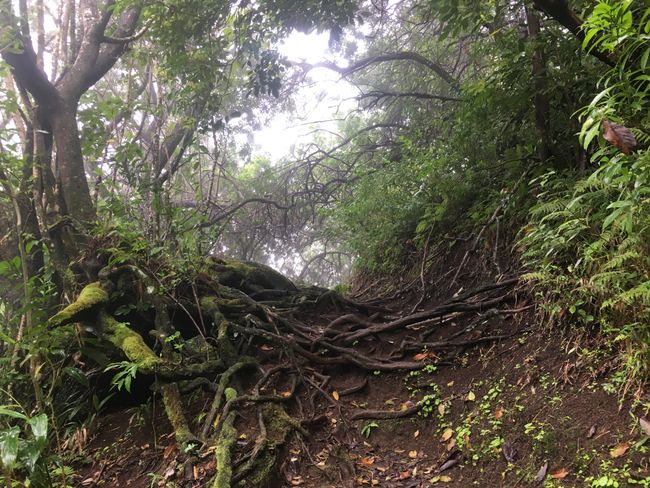
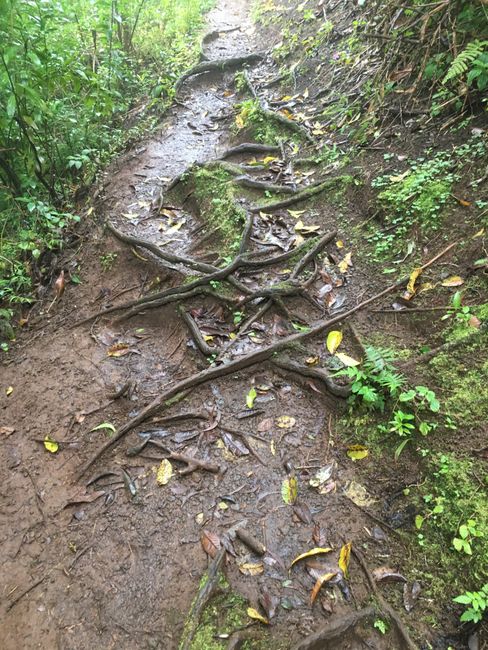
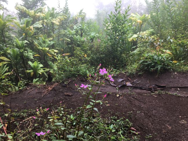
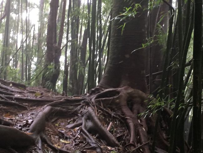
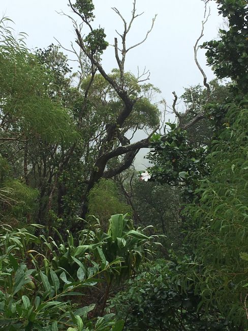
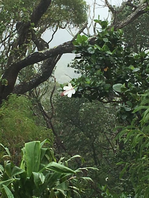
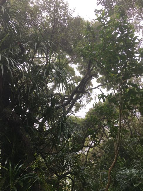
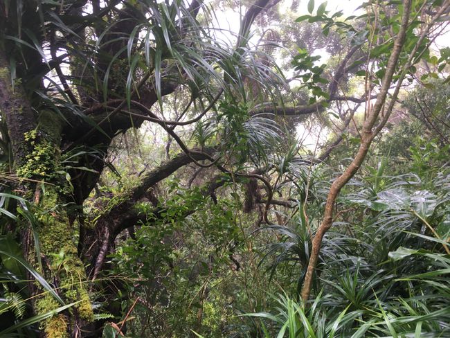
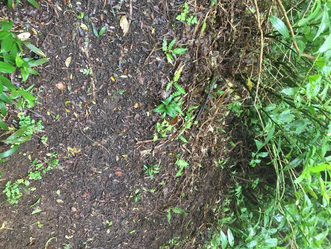
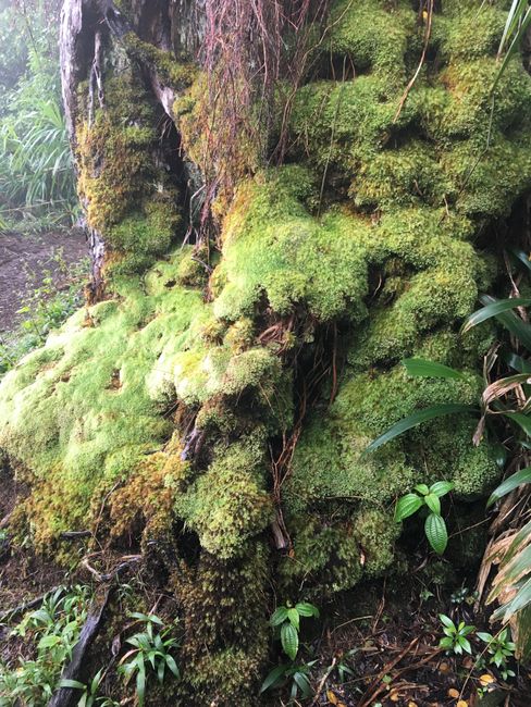
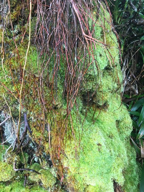
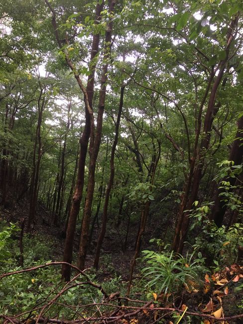
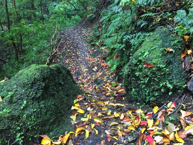
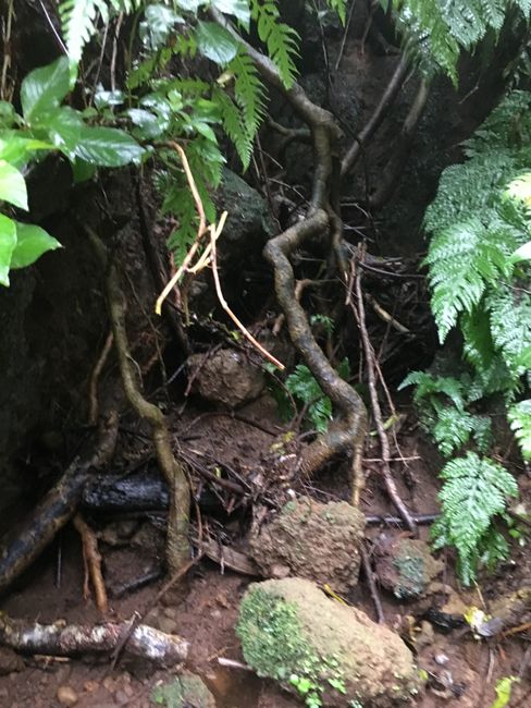
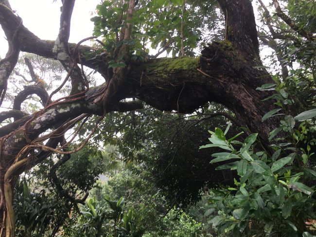
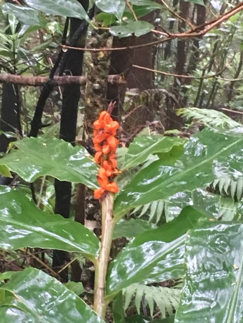
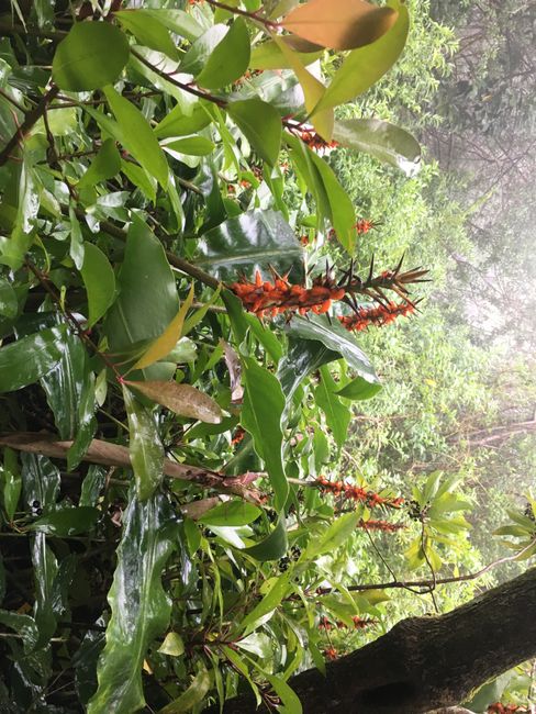
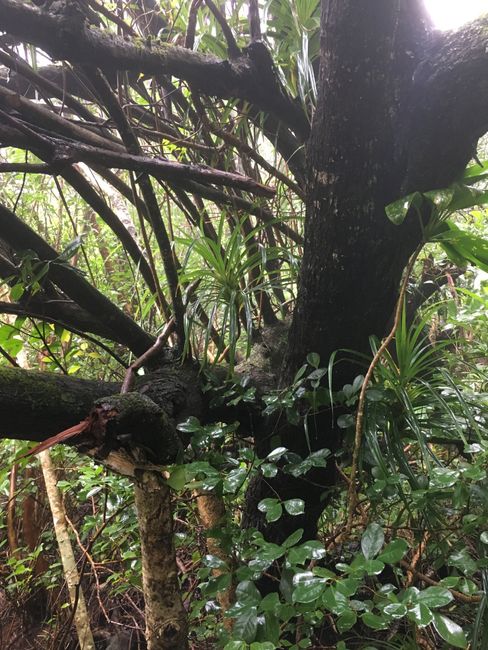
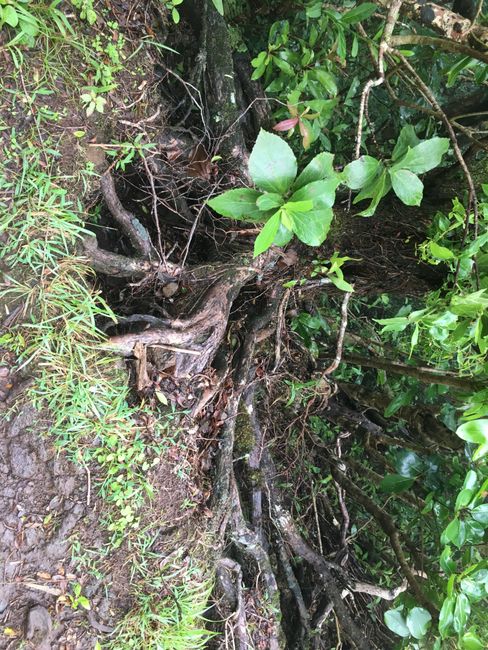
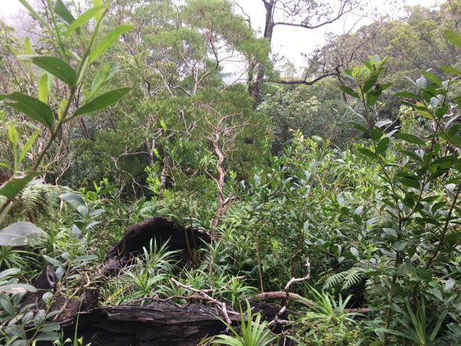
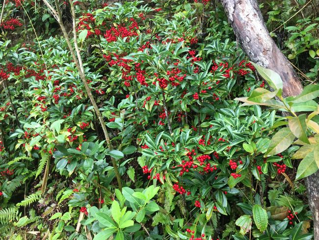
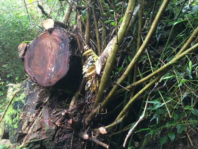
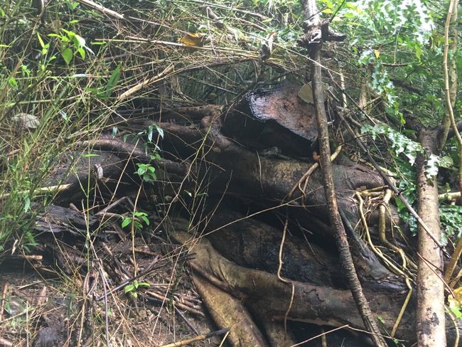
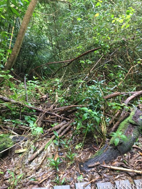
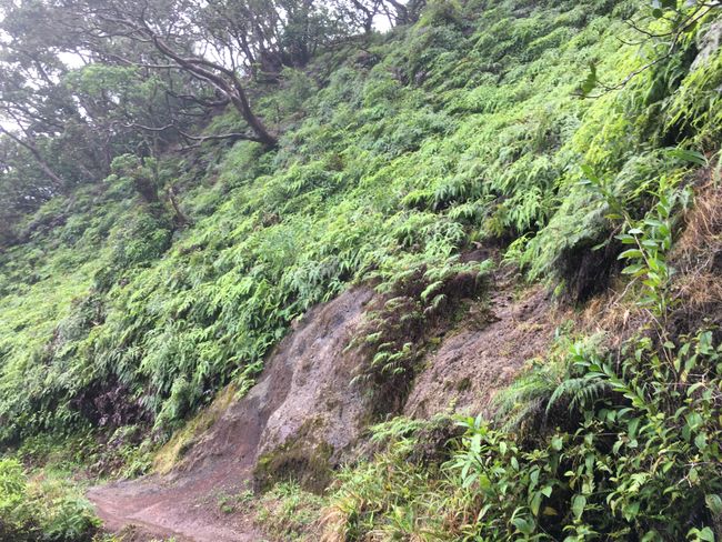
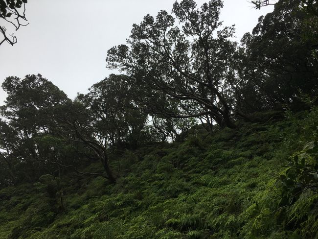
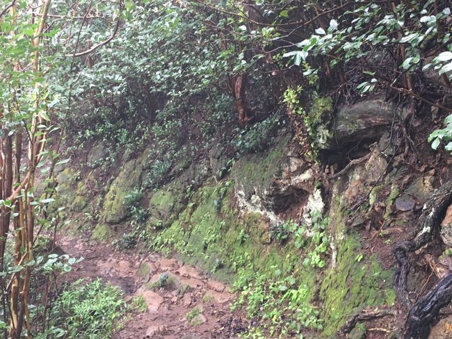
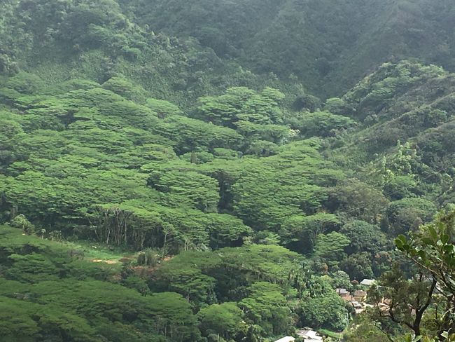
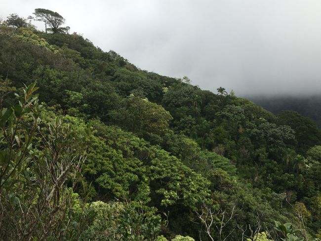
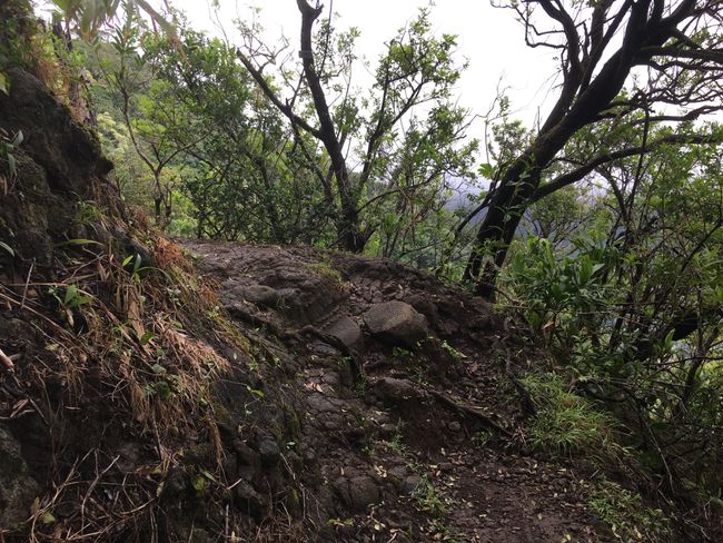
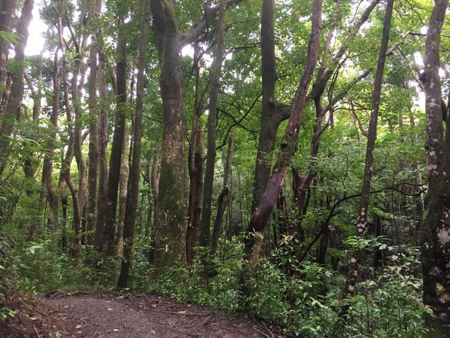
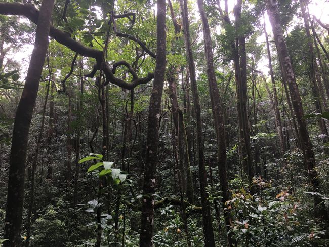
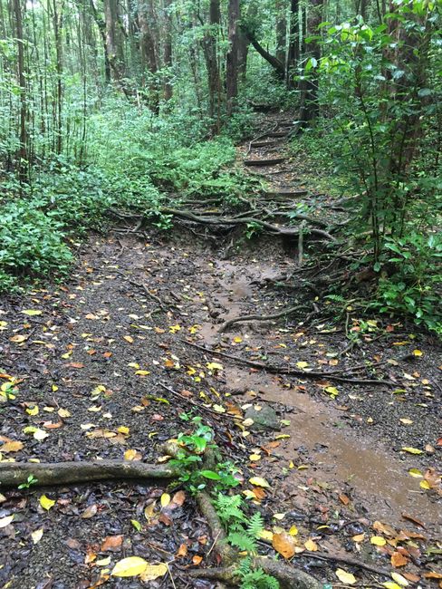
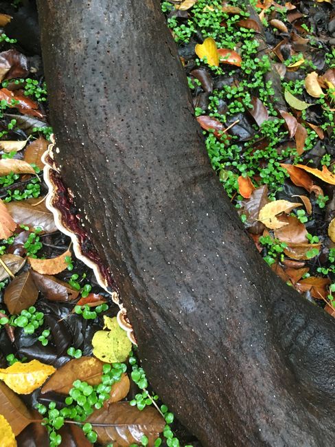
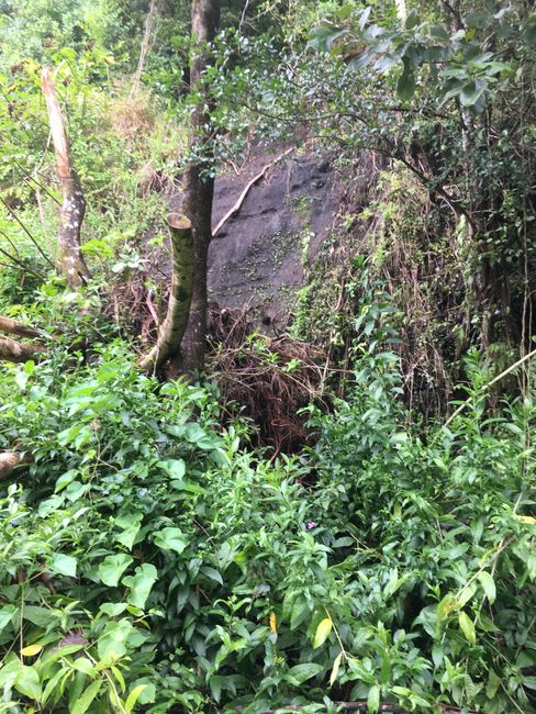
It's a completely different vegetation than back home, that alone is fascinating. The trail requires full attention, the red jungle floor is soaked from the rain and very slippery. The protruding roots and mossy, porous lava stones in between don't make it any easier.
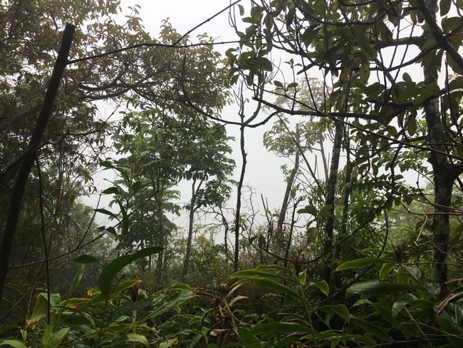
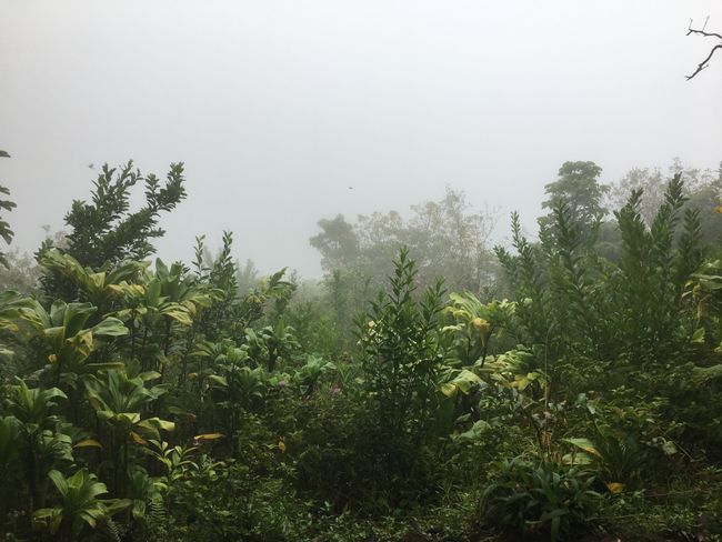
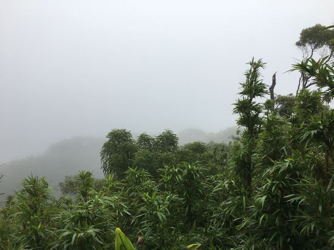
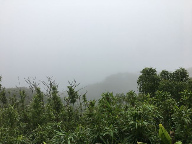
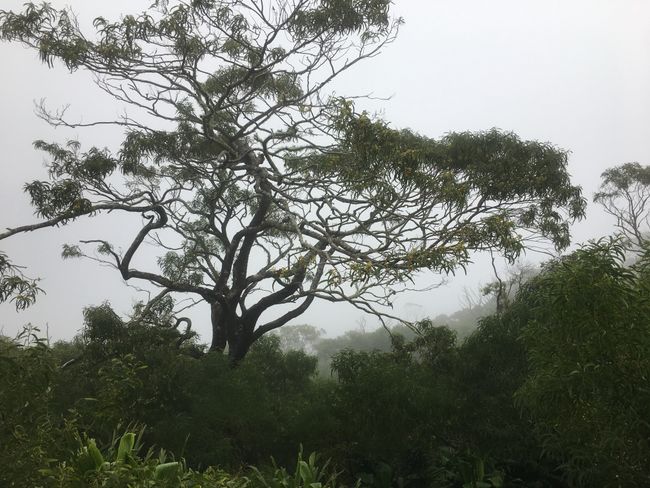
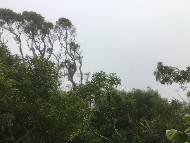
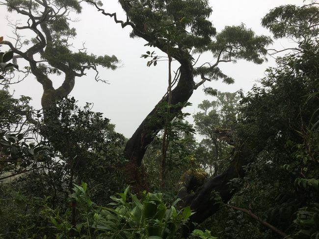
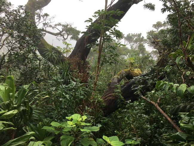
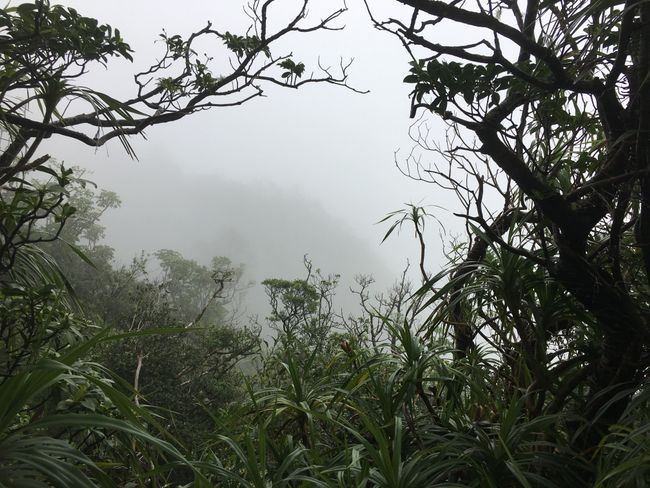
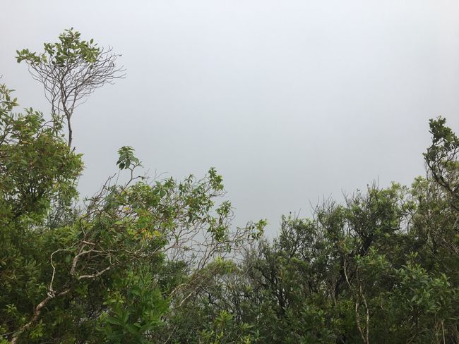
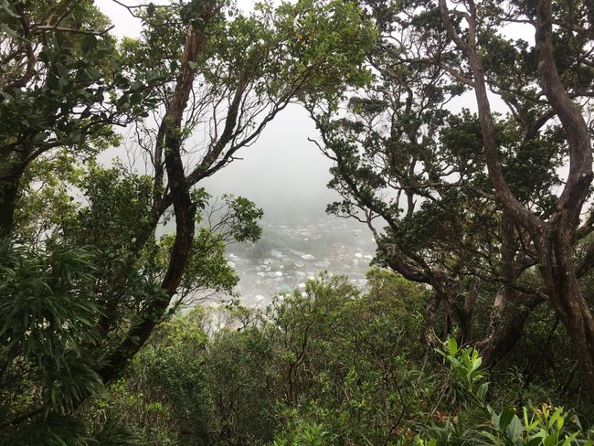
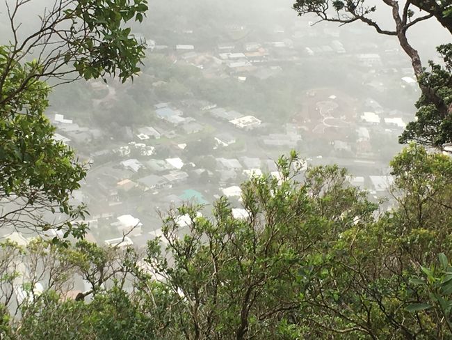
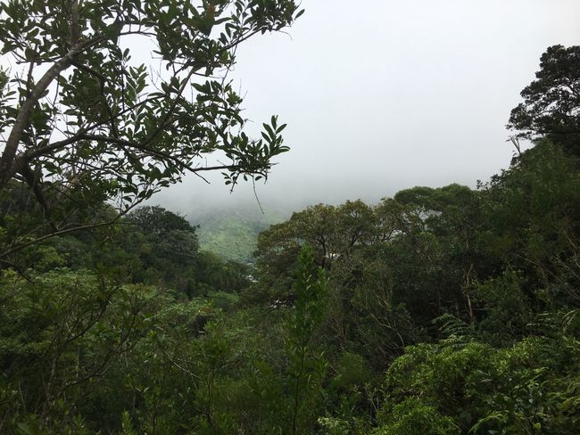
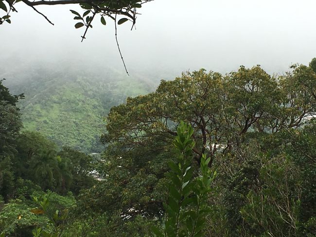
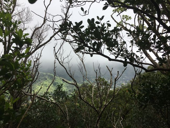
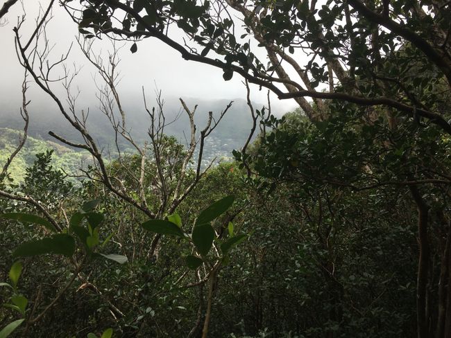
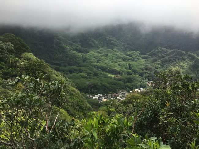
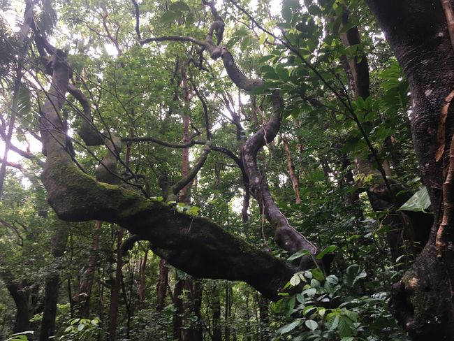
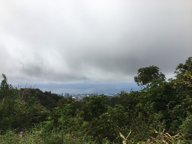
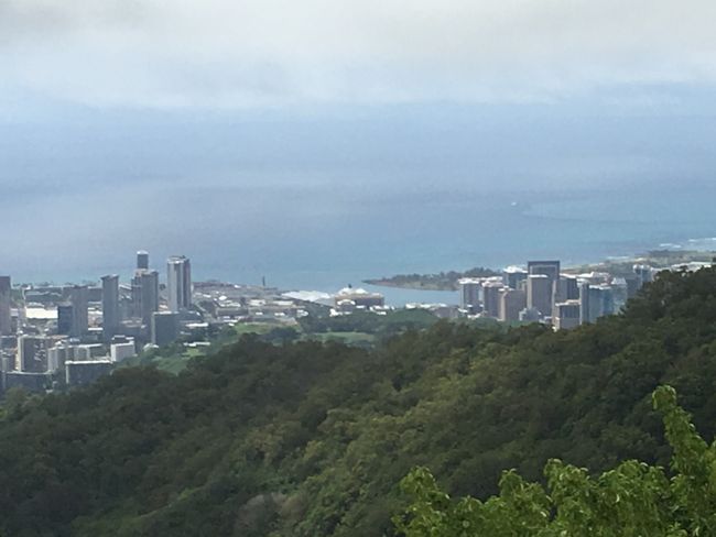
Between the dense forest, there are occasional glimpses of the valley, if only the low-hanging blanket of clouds weren't there. It turns everything into a Hobbit forest, very mystical and atmospheric.
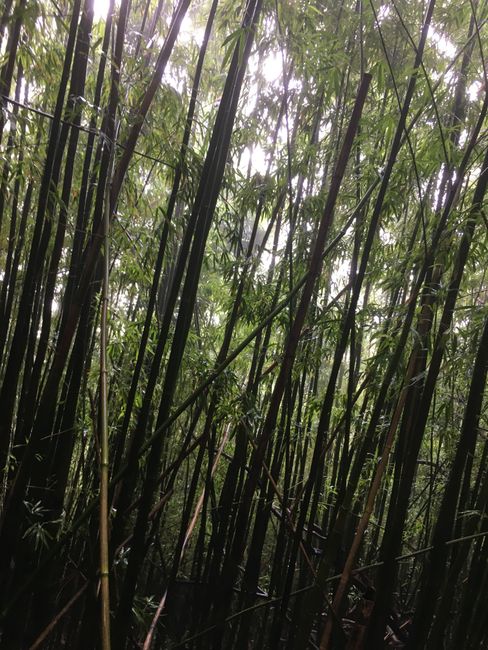
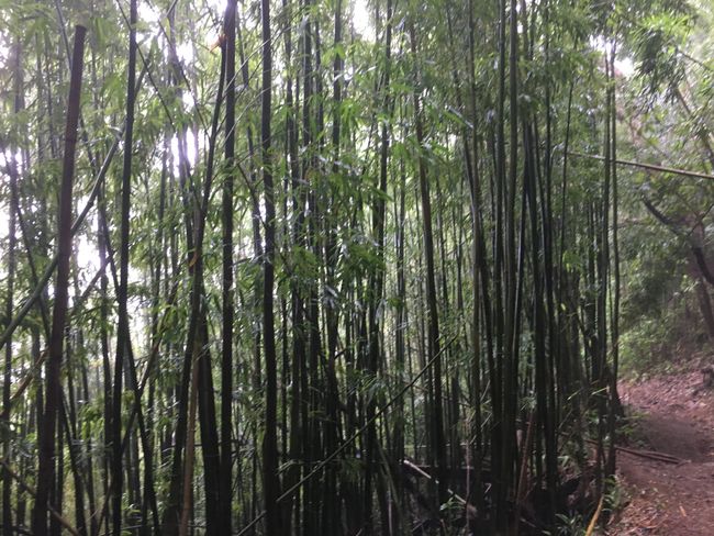
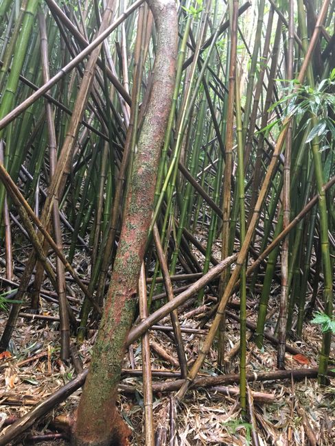
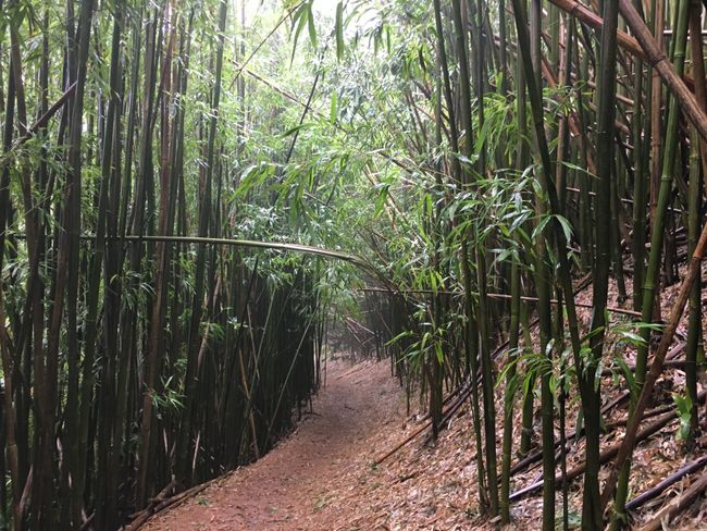
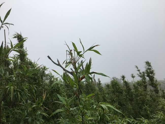
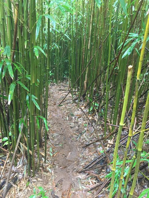
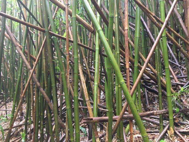
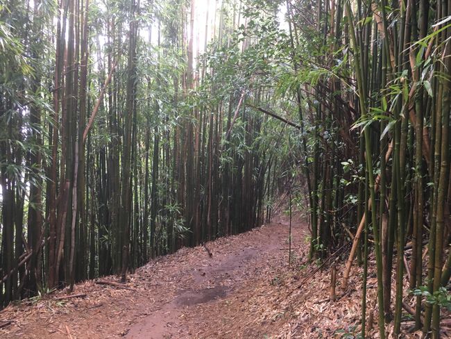
Then the vegetation changes, I walk through dense bamboo. It's slippery here too, but you can hold onto the bamboo for support on slopes and descents.
I try to avoid the puddles because of the risk of leptospirosis, you should avoid contact with fresh water.
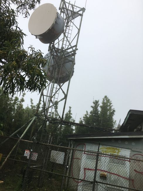
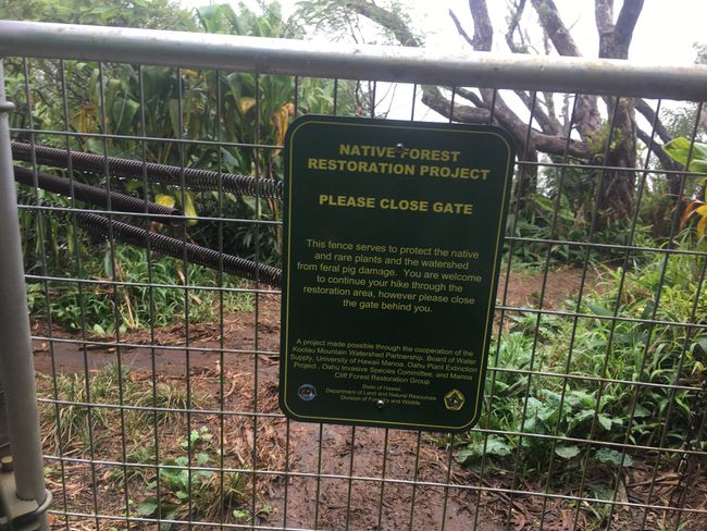
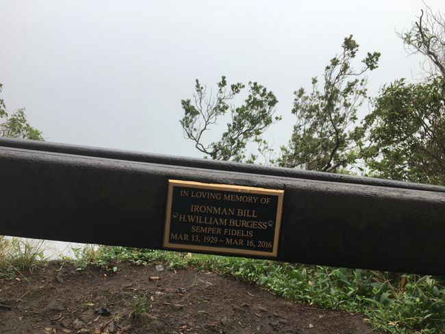
Finally, after a longer ascent, I reach the summit of the hill, at a transmission station. Here, a gate leads into a test area where various tropical plants have been reintroduced. After walking through this area, I reach a beautiful viewpoint with benches. Unfortunately, still no sun and the bench is completely wet.
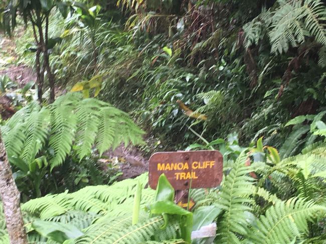
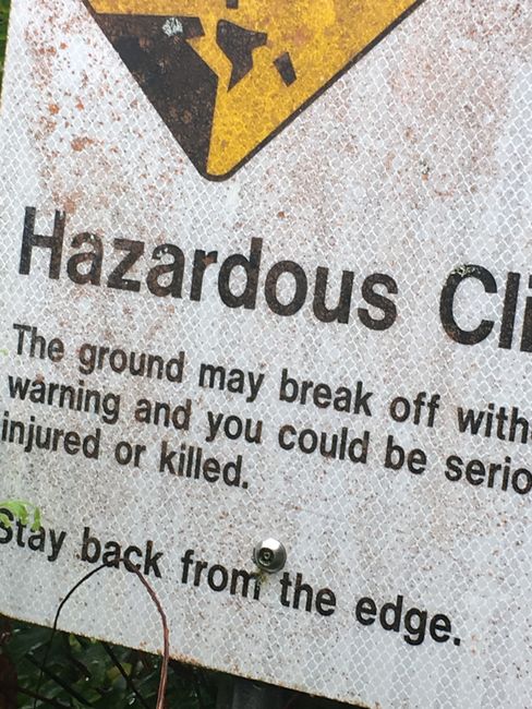
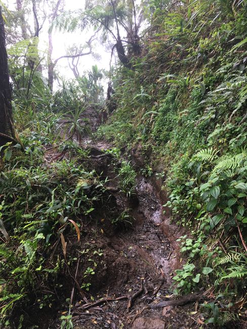
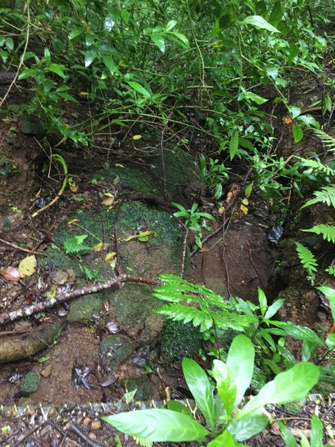
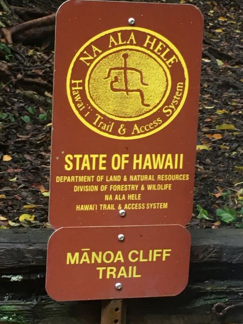
So I continue, now on the Manoa Cliffs Circuit. Signs warn of sudden cliff and soil collapses and urge caution. I'm unsure at first, I'm not completely free of vertigo...
But since there is no alternative and I definitely want to see the waterfall, I keep going. It's a demanding and not entirely safe path! So far, I've only encountered one person, what if I slip...?! I continue with full concentration, carefully tucking my phone, with which I take photos every 100 meters because I'm totally fascinated by this landscape, deep into my pants pocket each time. I definitely don't want to lose it here!
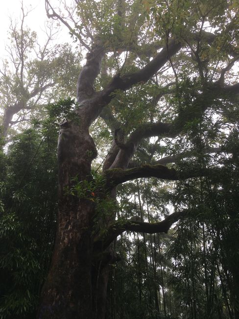
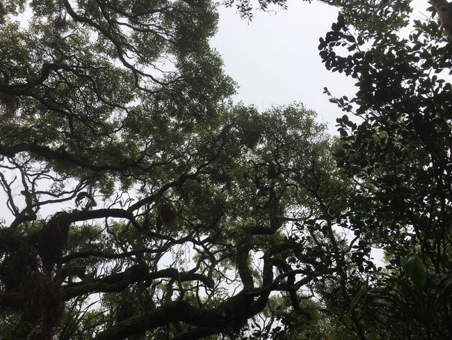
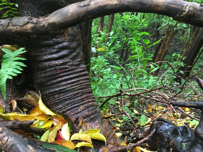
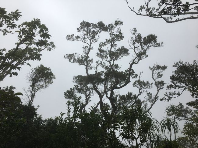
Everything goes well, at some point the cliff path merges into a dry riverbed, the vegetation changes again. Now there are huge trees and ferns that shape the landscape.
Suddenly, when I find myself on a road, I immediately realize that I missed a turnoff. Because here, a trail is now signposted that leads down into the valley and is far away from the agreed meeting point. I would have had to walk all the way back along the cliff path and find and take the turnoff to the waterfall. And then it would be another good hour to the destination 🤨.
I decide to continue walking on the road and figure out which one it is. After half an hour, I return to the starting point of my hike, but this is not the meeting point agreed with Hajo... I try to call him, but there is no network. After waiting for a while, hoping that he will come here if I'm not at the agreed meeting point, I find it too boring, besides, the sky is getting cloudy again, who knows when the next rain will come?!
I start walking down the mountain road towards civilization and hope to catch a bus or a taxi there. Suddenly, my phone rings, what a nice sound 😃.
I walk back to the starting point and half an hour later, Hajo is with me. He had to drive down the mountain on the other side and back up here because there is no connecting road in between.
When he arrives, the sky clears up - no, not the sun, but pouring rain, I'm so glad I'm no longer on the already slippery paths!
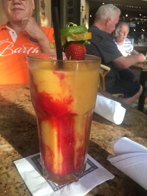
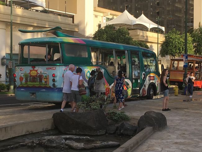
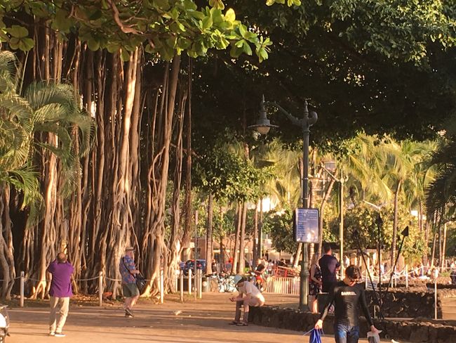
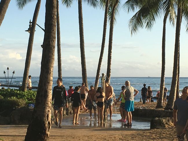
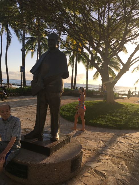
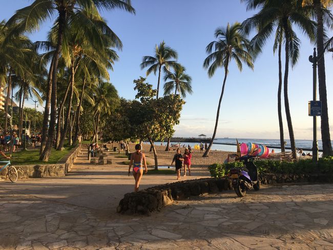
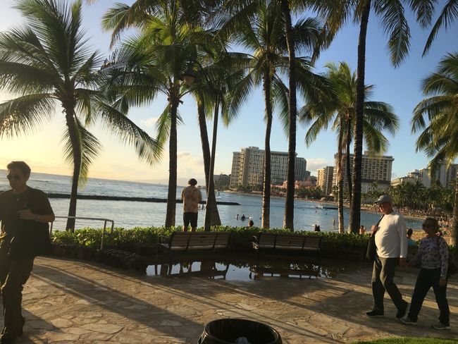
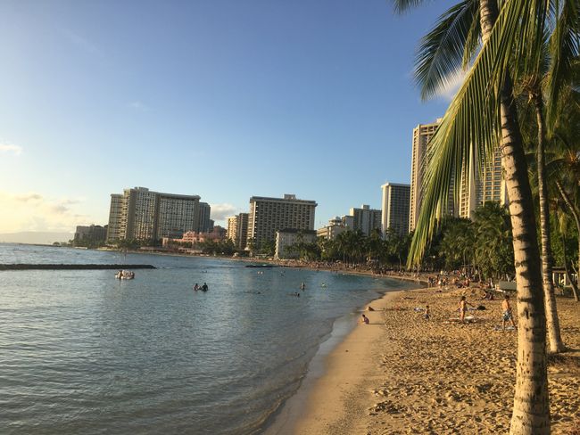
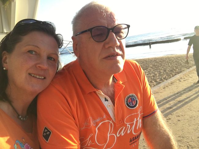
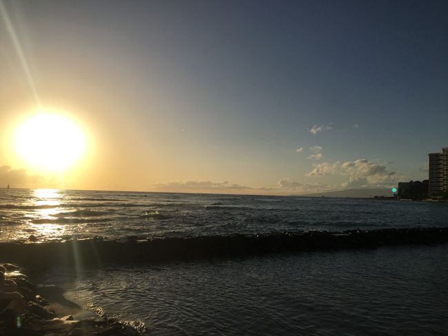
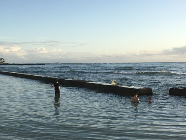
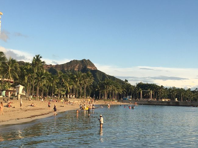
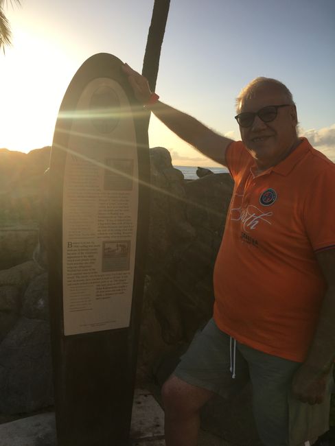
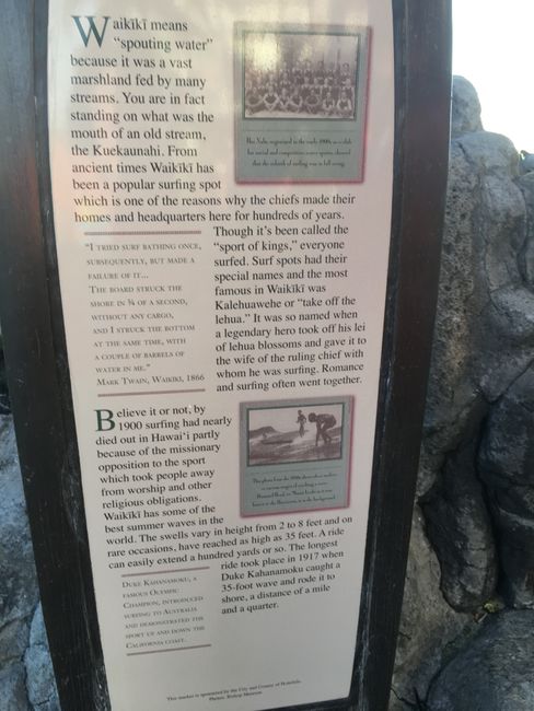
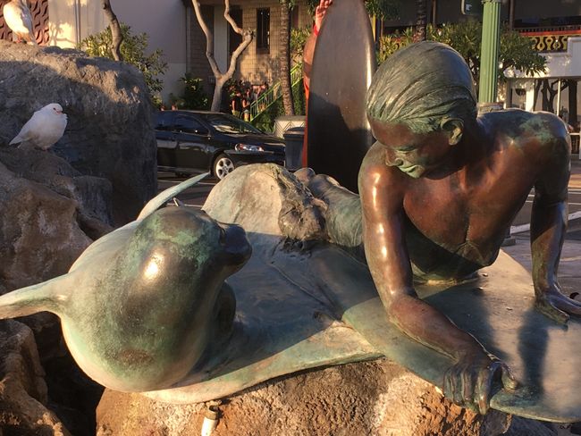
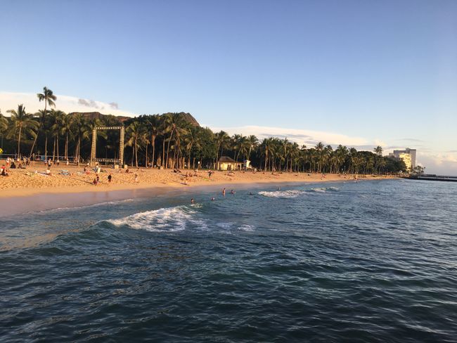
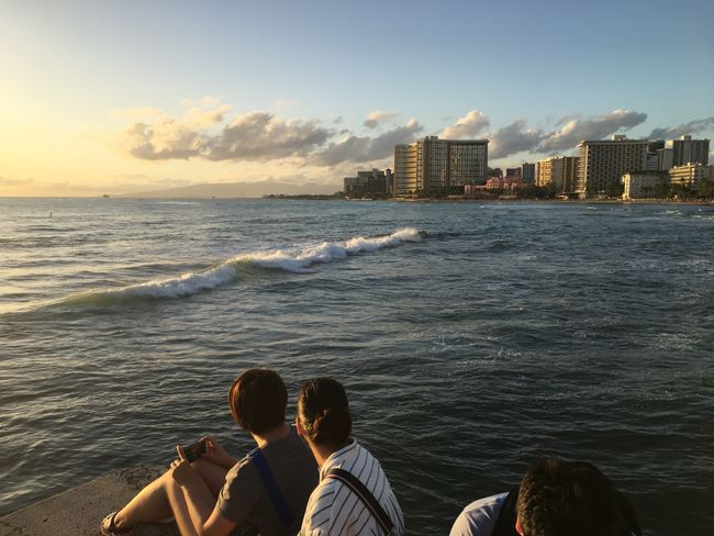
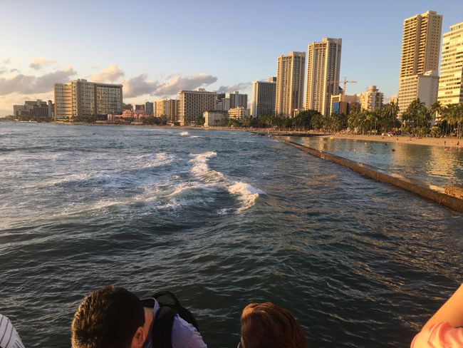
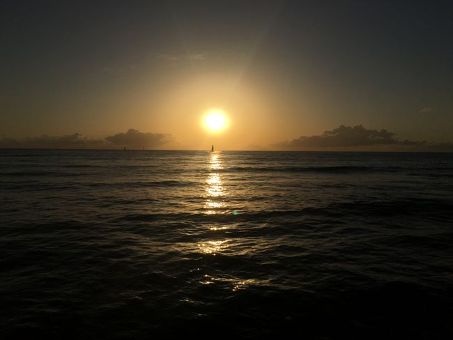
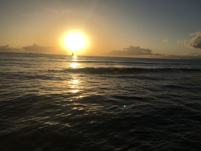
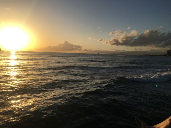
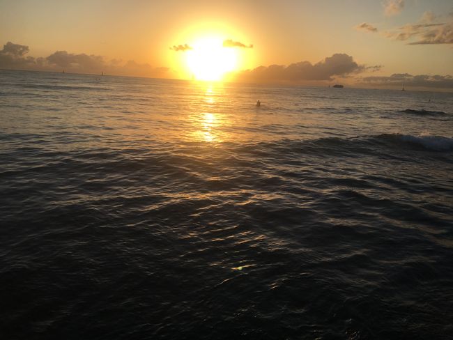
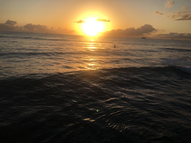
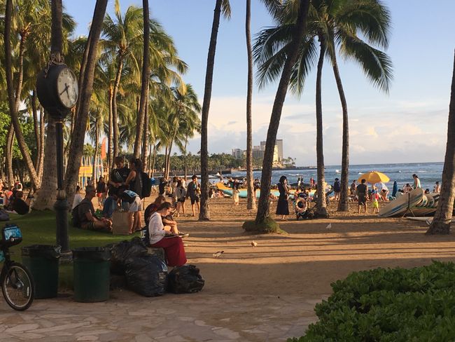
After freshening up, we stroll into town, have a delicious meal at the Cheesecake Factory, and enjoy the beautiful sunset at Waikiki Beach today. The sun shines as if nothing had happened. Hopefully, tomorrow too, we still want to have a beach day here 🌴☀️🌺
बातमीपत्राचे सदस्य व्हा
उत्तर द्या

