BLOG 7 - Yellowhead HWY from Jasper to Hazelton
ꯐꯣꯉꯈ꯭ꯔꯦ꯫: 26.07.2022


ꯅꯤꯎꯖꯂꯦꯇꯔꯗꯥ ꯁꯕꯁ꯭ꯛꯔꯥꯏꯕ ꯇꯧꯕꯤꯌꯨ꯫
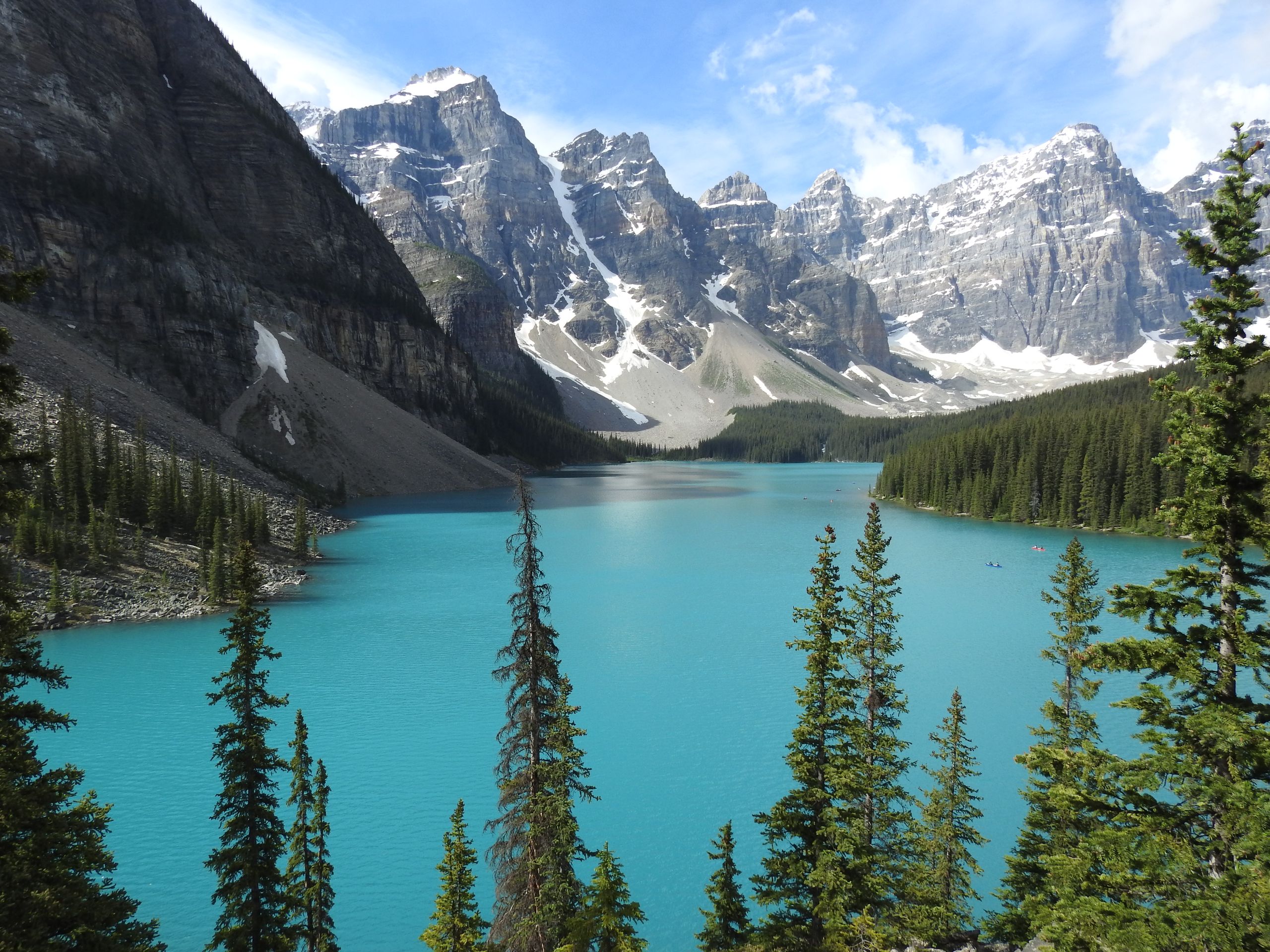
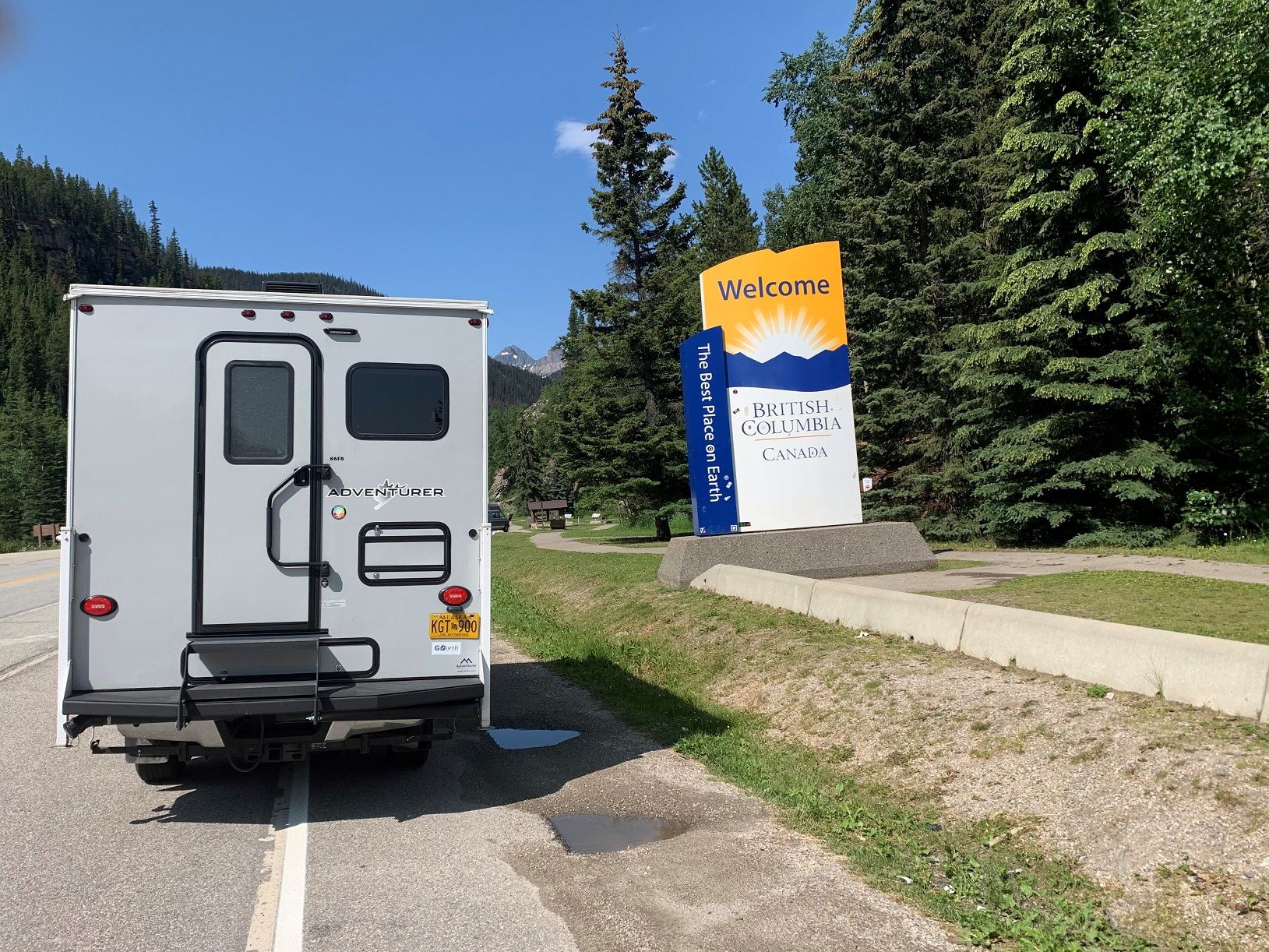
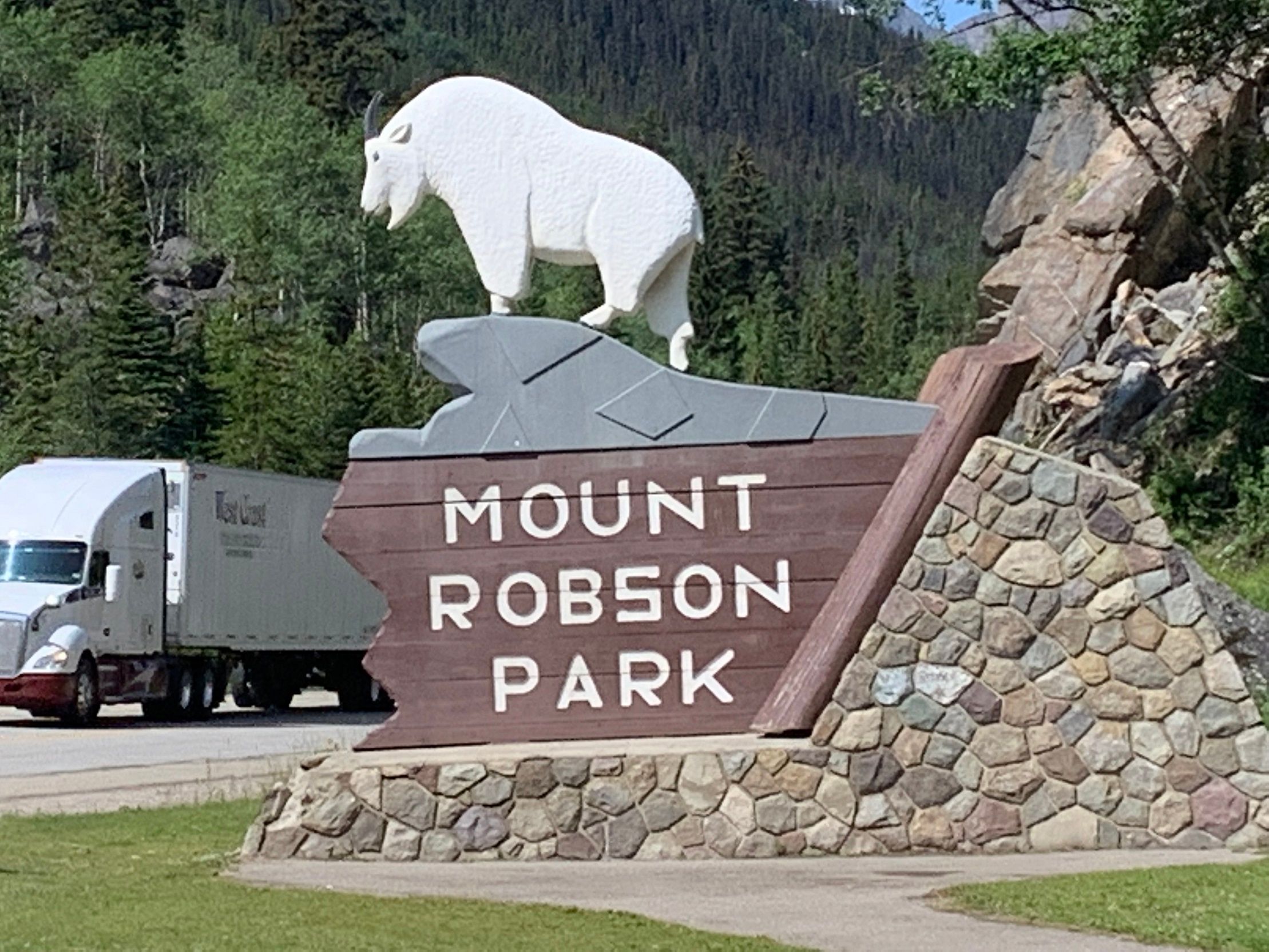
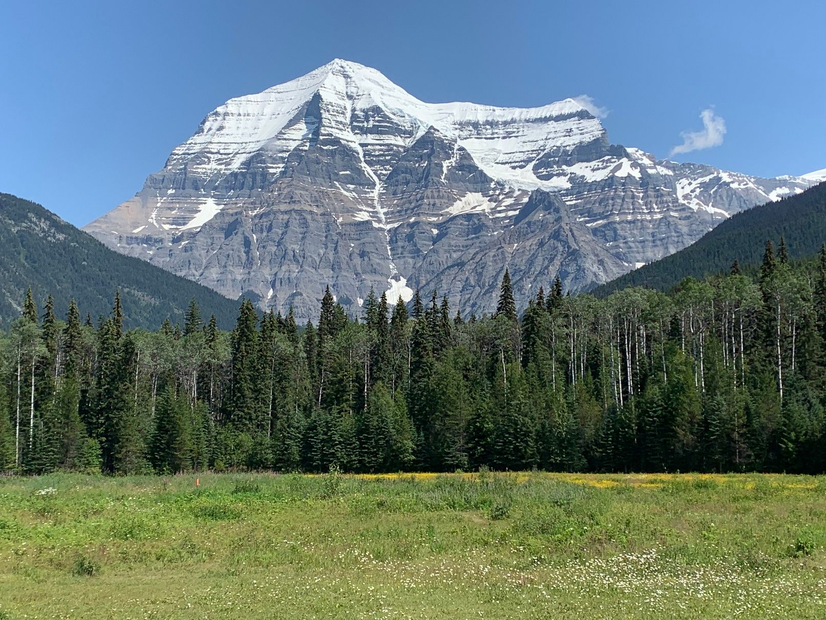
Soon after starting in Jasper heading west, we reach Yellowhead Pass, not only the border between the provinces of Alberta and British Columbia, but also the time zone boundary (Mountain Time to Pacific Time - we 'gain' an hour). The shortly following Mount Robson Park offers a wonderful view of Mount Robson, almost 4000 m high, the highest mountain in the Canadian Rocky Mountains.
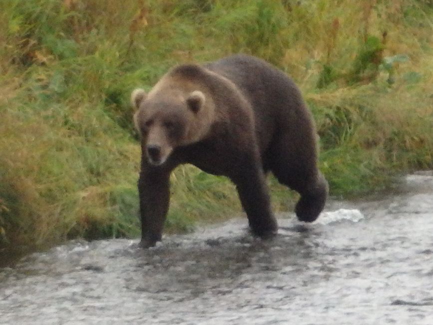
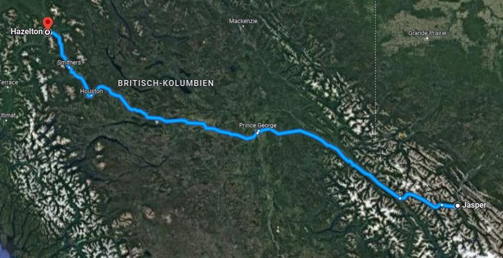
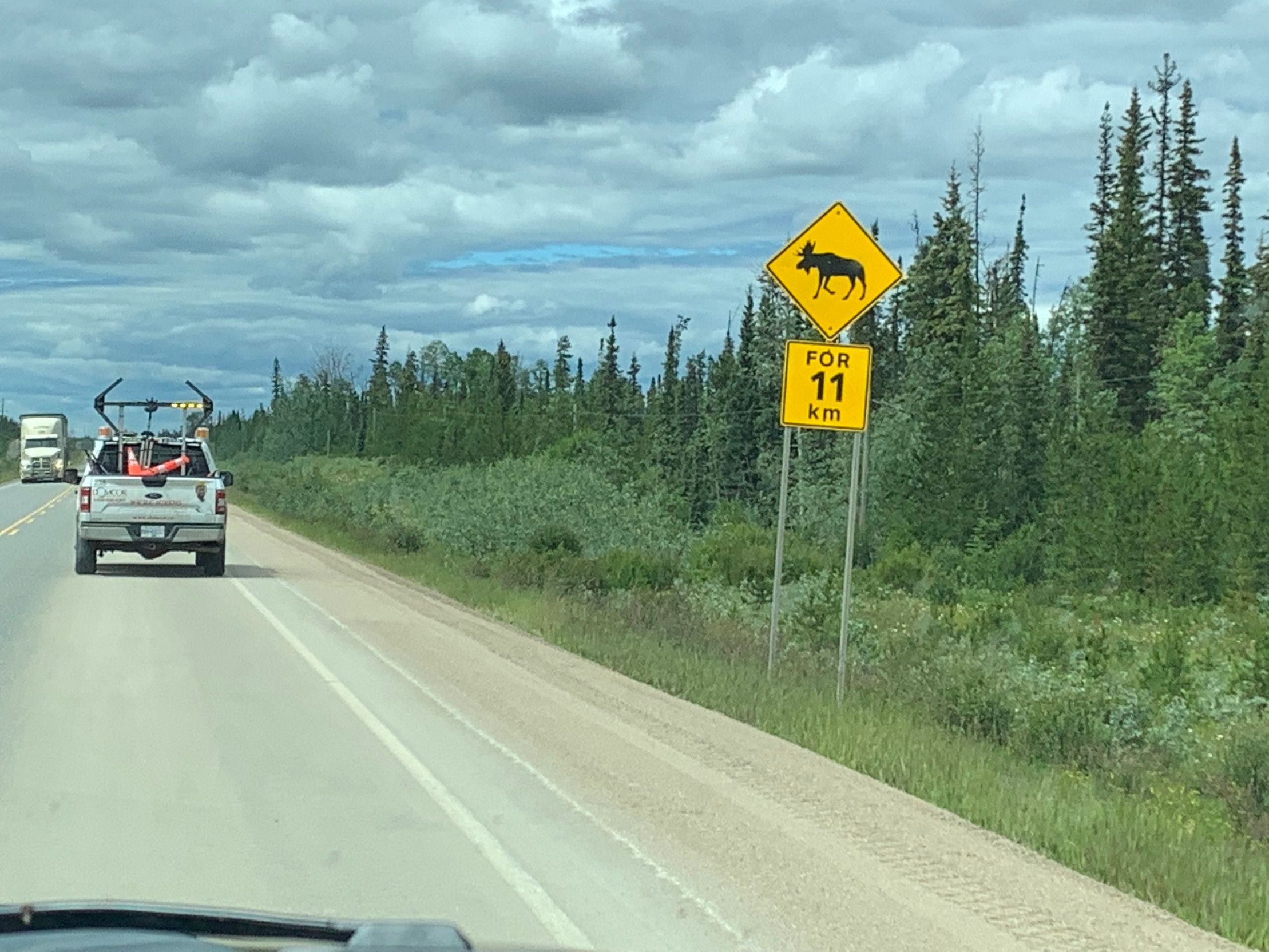
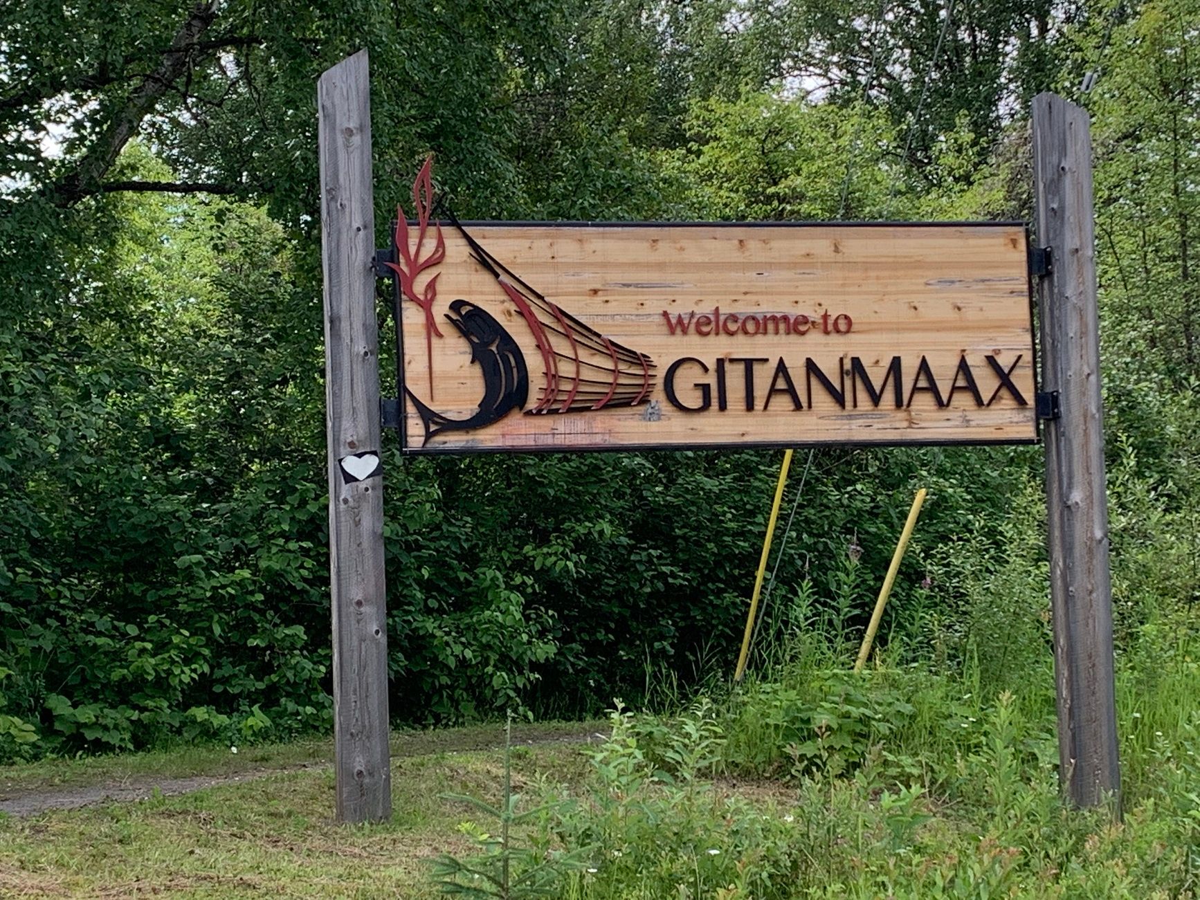
The following approximately 750 km route via Prince George to Hazeltown (in the language of the Indians: Gitanmaax) offers little excitement, a lot of agricultural landscape. Despite the regular warning signs for moose, bears, and caribou, we only see one black bear that fortunately crosses the road quickly enough just in front of our car. Unfortunately, it was too fast for a photo due to the required emergency braking.
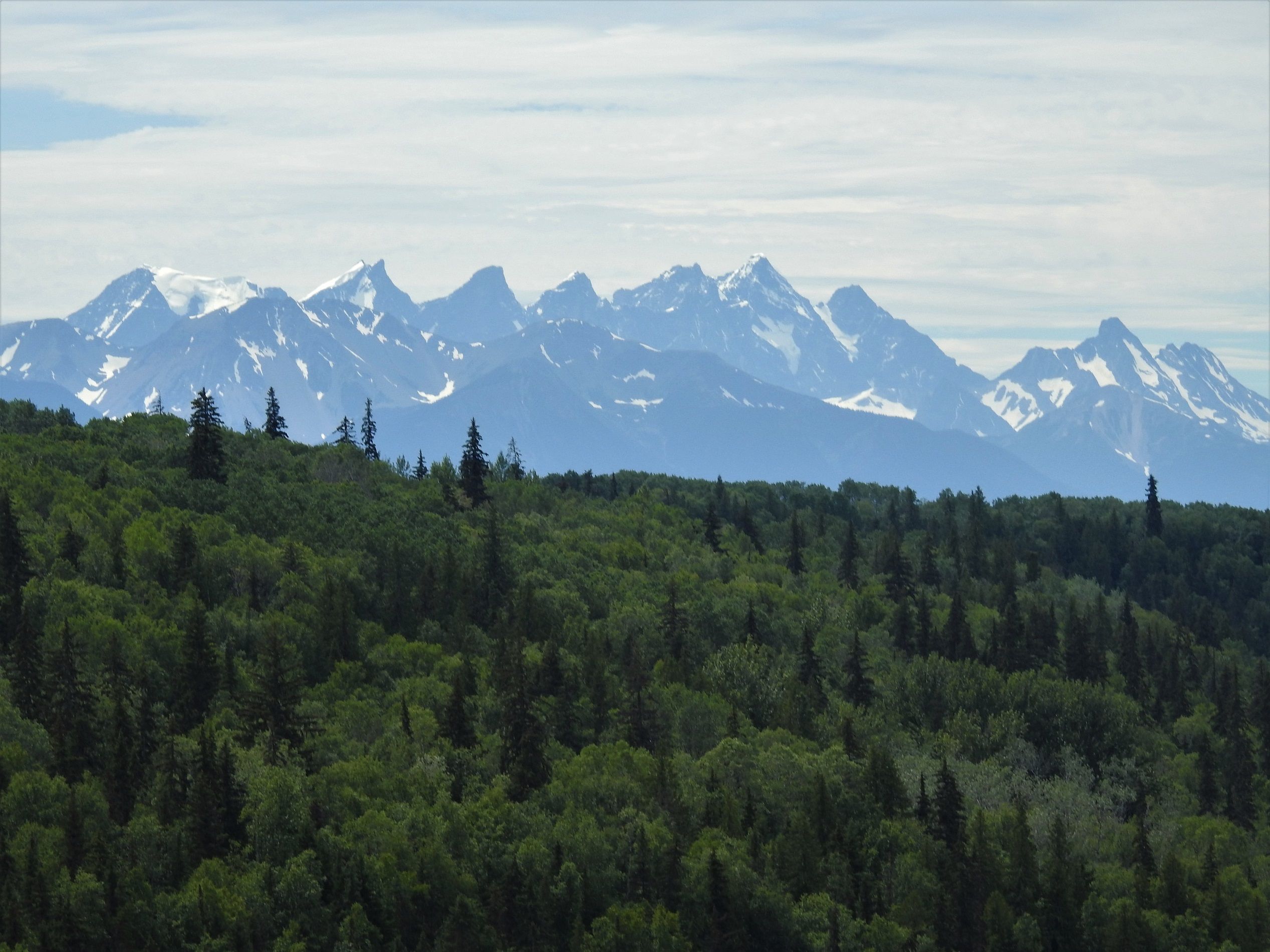
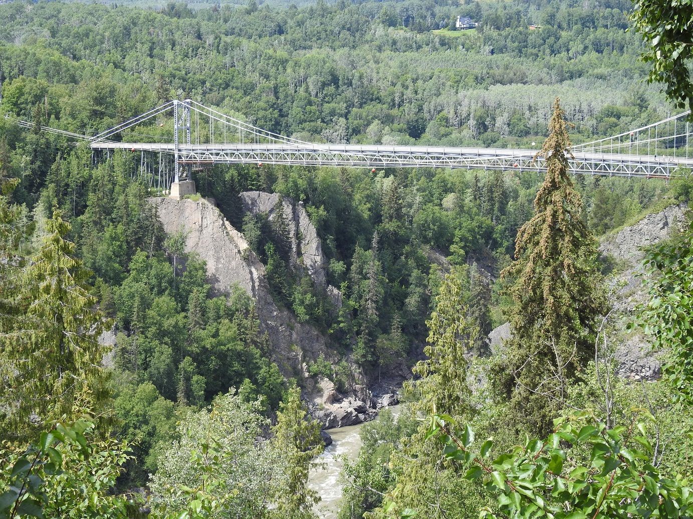
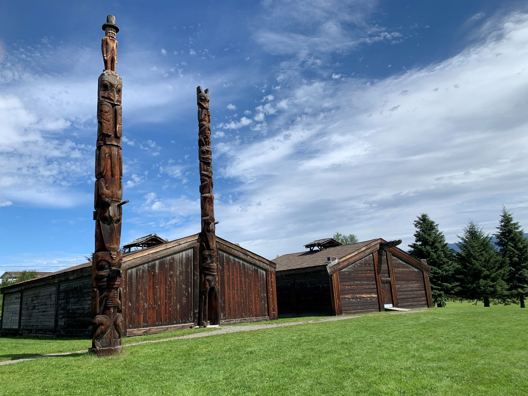
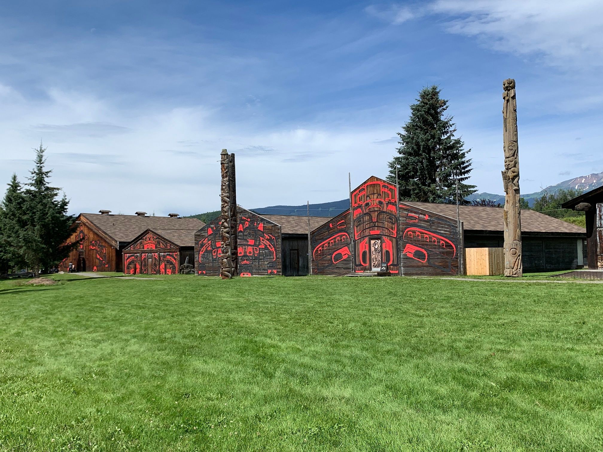
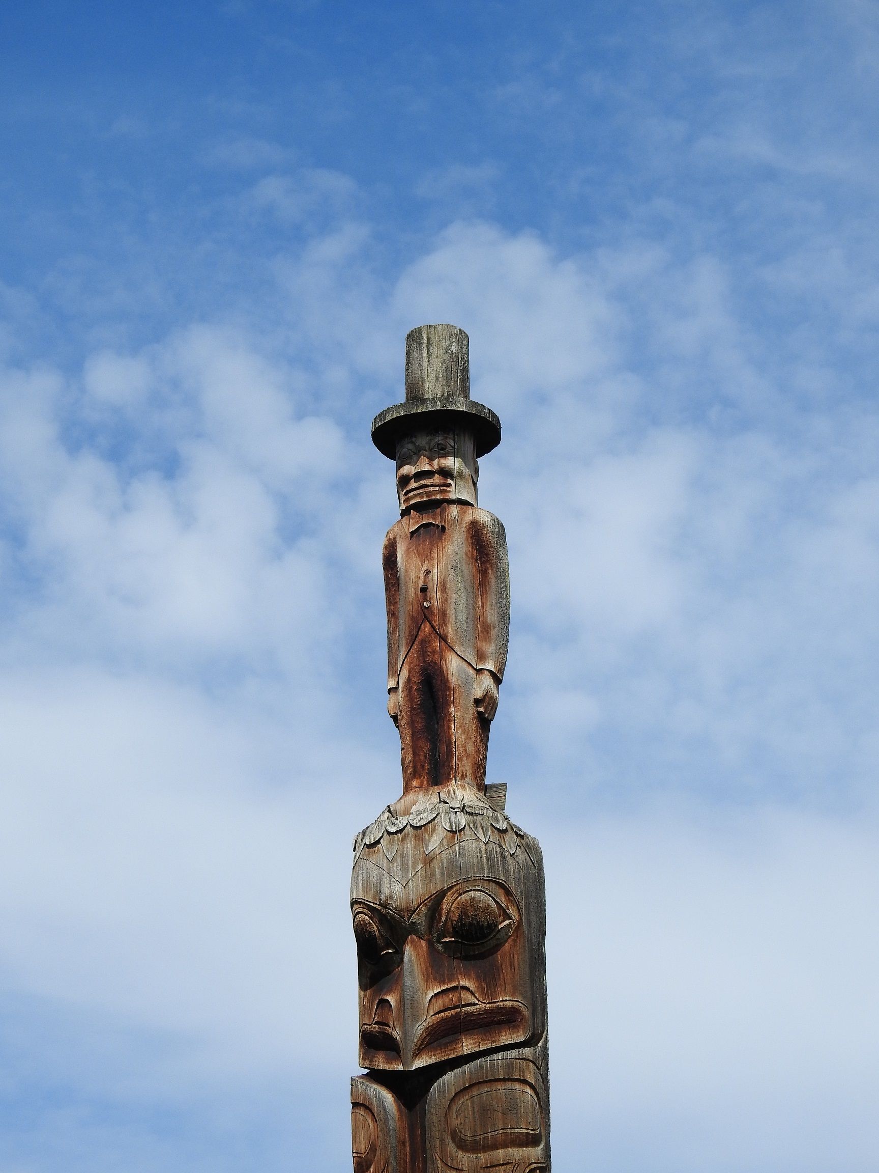
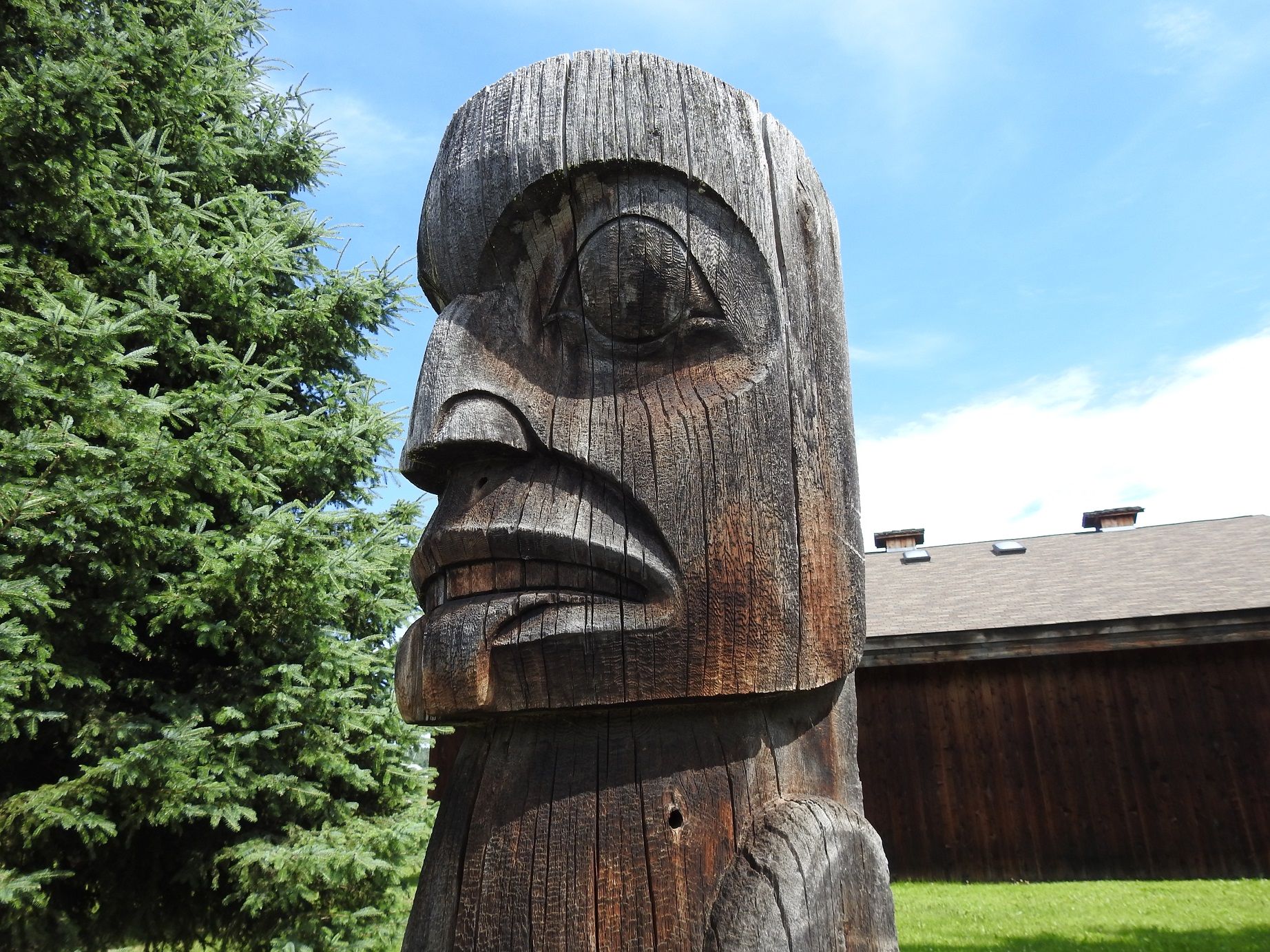
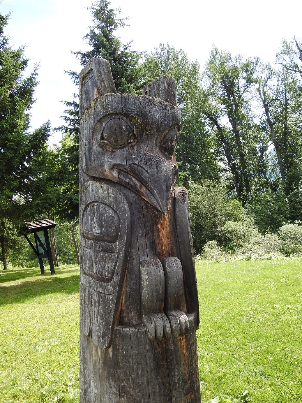
Shortly before reaching our destination in Hazeltown, we can admire the impressive mountain scenery of the 'Seven Sisters' and drive on the single-lane Hagwilget Bridge over the 80 m deep gorge of the Bulkley River. In Hazeltown, we are welcomed not only by a good campsite run by the GitKsan First Nation, but above all the 'Ksan Historical Village' with an interesting tour. Unfortunately, photography inside the houses with many Indian utensils and festive objects is not allowed, which is understandable.
A short 'technical' note: due to the poor internet options and very slow WiFi (the Sultanate of Oman is much better equipped than Northern Canada), I have to resize all images to a maximum of 1 MB for uploading. I hope that this does not significantly decrease the image quality.
Soon after leaving Jasper heading west, we reach Yellowhead Pass, not only the border between the provinces of Alberta and British Columbia, but also the time zone boundary (Mountain Time to Pacific Time - we 'gain' an hour). The shortly following Mount Robson Park offers a wonderful view of the almost 4000 m high Mount Robson, the highest mountain in the Canadian Rocky Mountains. The following, approximately 700 km route via Prince George to Hazeltown (in the language of the Indians: Gitanmaax) offers little excitement, very much agricultural landscape.
Despite the regular warning signs for moose, bears, and caribou, we only see one black bear, which fortunately crosses the road quickly enough just in front of our car. Unfortunately, it was too fast for a photo due to the required emergency braking. Shortly before reaching our destination in Hazeltown, we can admire the imposing mountain scenery of the 'Seven Sisters' and drive on the single-lane Hagwilget Bridge over the 80 m deep gorge of the Bulkley River. In Hazeltown, not only a good campsite run by the GitKsan First Nation awaits us, but most importantly the 'Ksan Historical Village' with an interesting tour. Unfortunately, taking photos inside the houses with many Indian utensils and celebratory objects is not allowed.
A short 'technical' note: due to the poor internet options and very slow WiFi (the Sultanate of Oman is much better equipped than Northern Canada), I have to resize all images to a maximum of 1 MB for uploading. I hope that this does not significantly decrease the image quality.
ꯅꯤꯎꯖꯂꯦꯇꯔꯗꯥ ꯁꯕꯁ꯭ꯛꯔꯥꯏꯕ ꯇꯧꯕꯤꯌꯨ꯫
ꯄꯥꯎꯈꯨꯝ