Southern Alps & Lakes
ꯐꯣꯉꯈ꯭ꯔꯦ꯫: 31.01.2017


ꯅꯤꯎꯖꯂꯦꯇꯔꯗꯥ ꯁꯕꯁ꯭ꯛꯔꯥꯏꯕ ꯇꯧꯕꯤꯌꯨ꯫
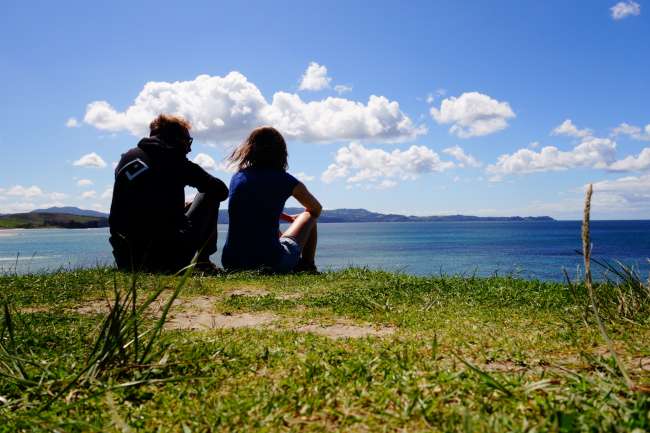
Do you remember this picture?
That was the last photo in the previous post and a preview of what's coming next. Now we are approaching these beautiful mountains!
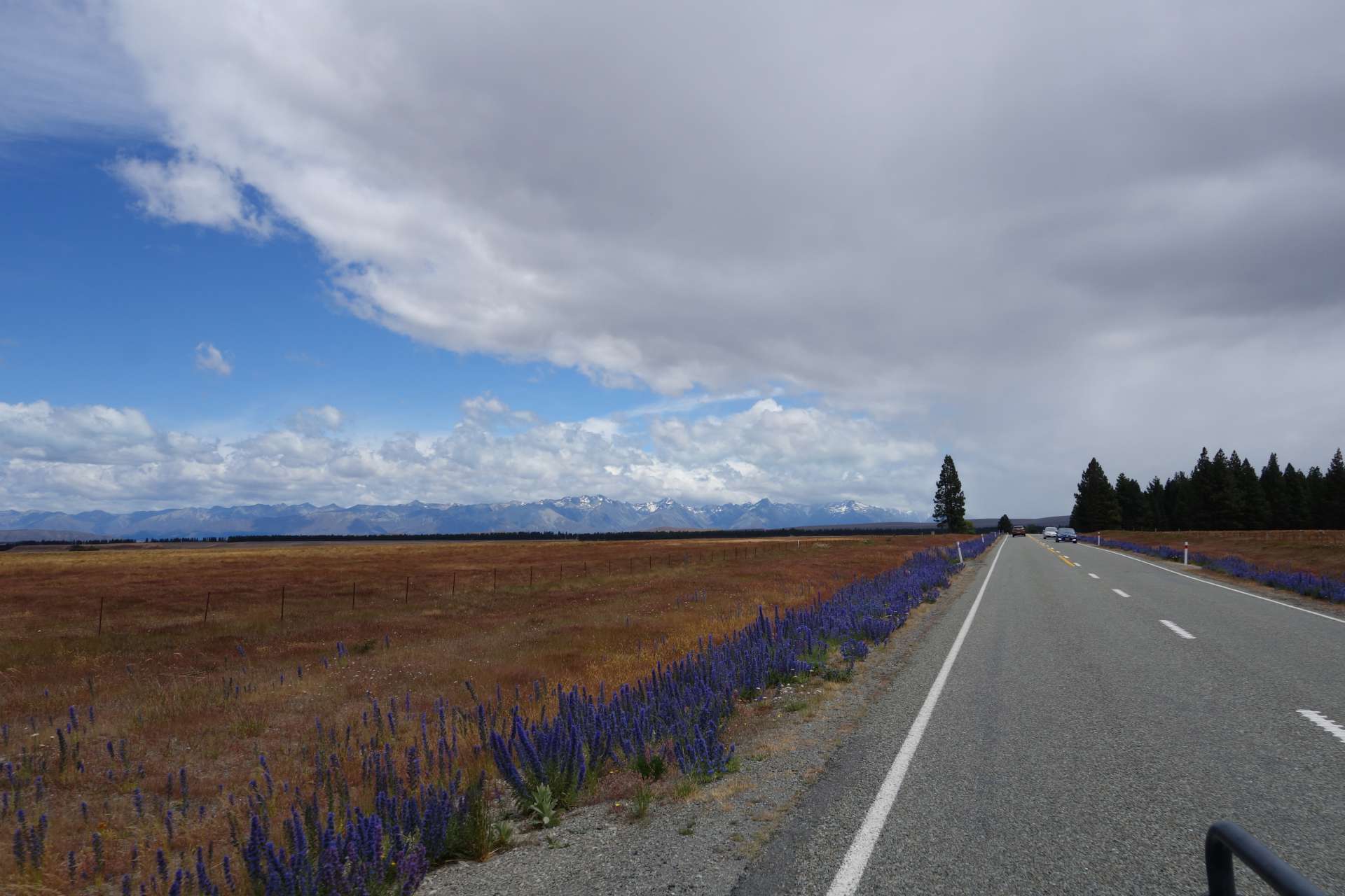
On our next 'zigzag' we went from Christchurch back towards the interior of the country, and therefore towards the Southern Alps.
The Southern Alps stretch across the entire South Island, and if you drive a zigzag route, you will inevitably pass by them several times.
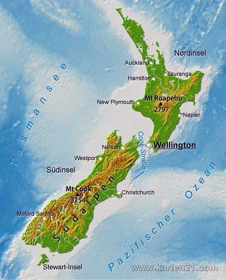
Here in the heart of the Southern Alps, you can find not only New Zealand's highest mountain, but also beautiful, incredibly blue lakes:
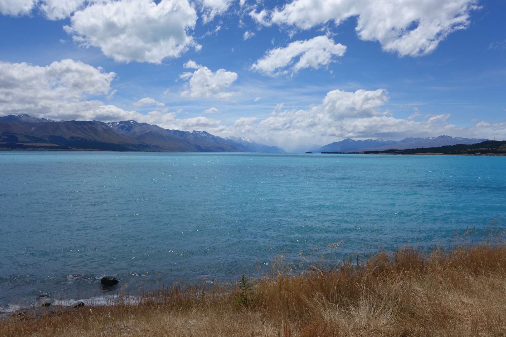
+++++++ Lake Tekapo & Lake Pukaki ++++++
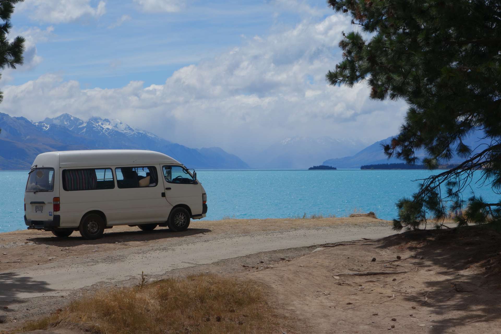
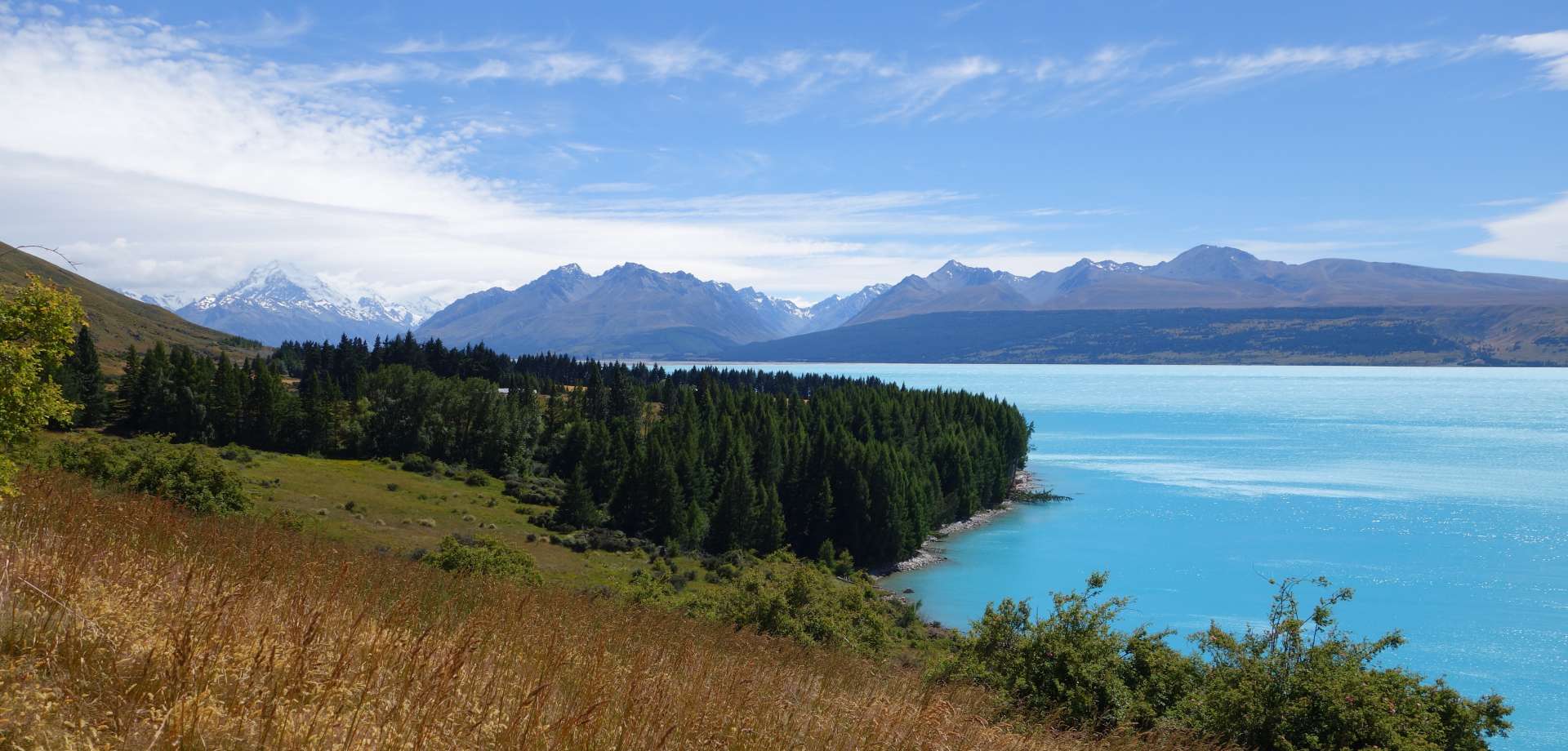
No, this is not enhanced color - this lake is simply that blue! On the horizon, you can see the Southern Alps:
Just one hour after Lake Tekapo, the next amazing lake came, just as blue: Lake Pukaki. By the way, a lot of electricity is generated with hydro power here on the South Island, and these two lakes supply half of the electricity generated in New Zealand.
We could show you more pictures of the blue water, but by now you probably have a good idea of what it looks like here ;)
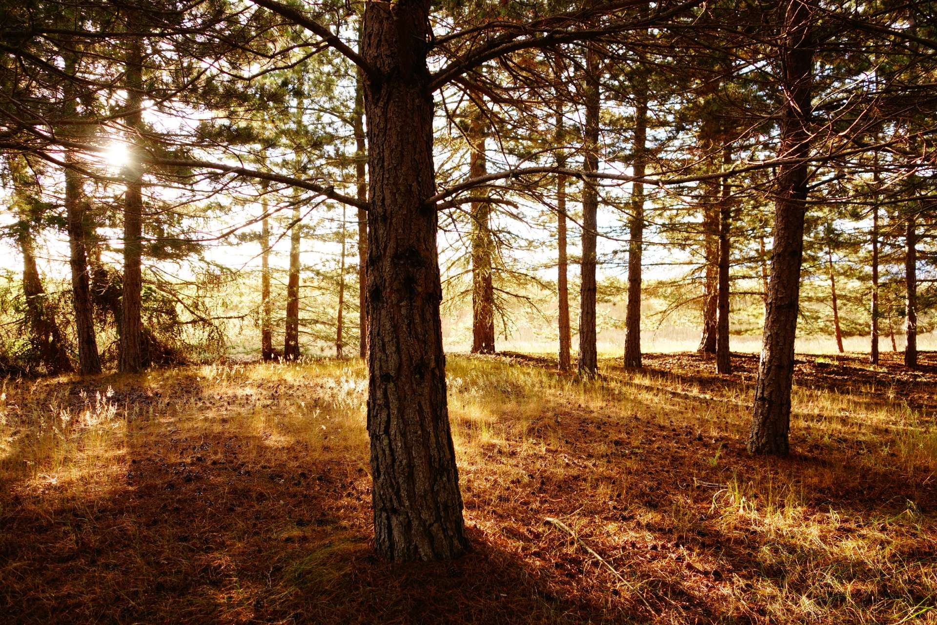
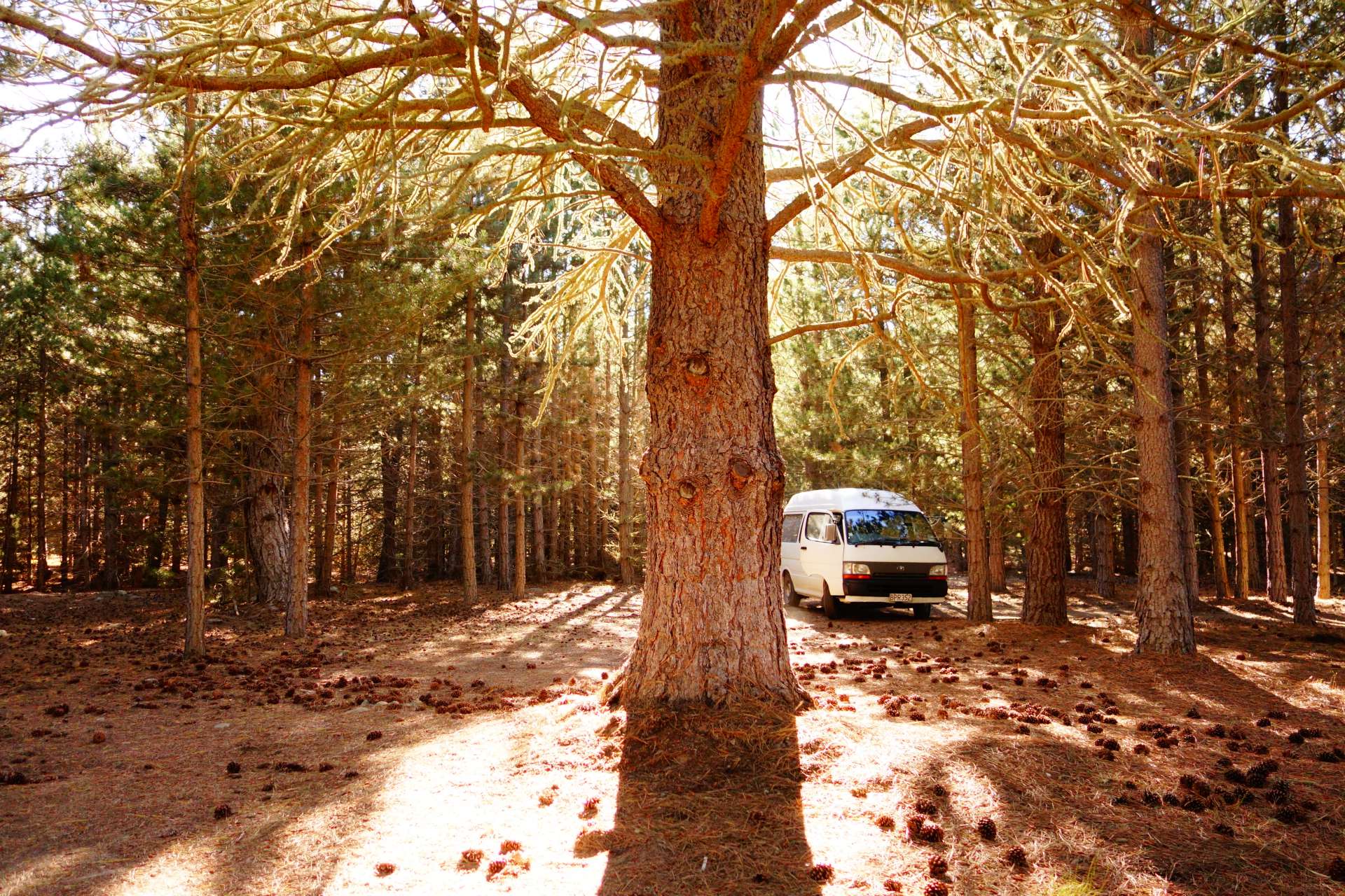
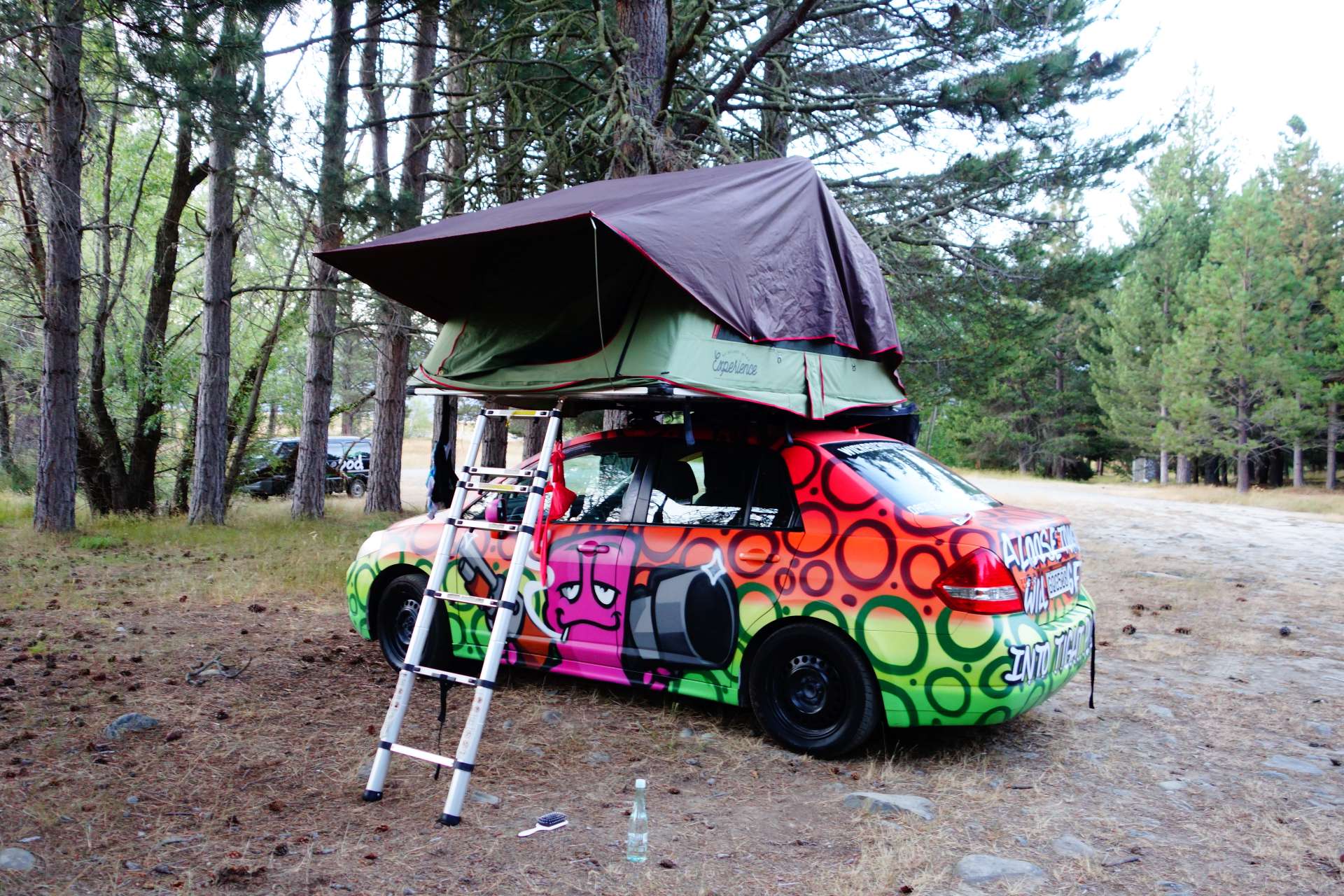
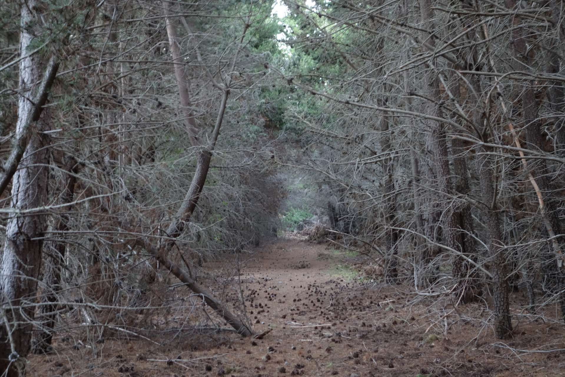
Right next to Lake Pukaki there is also a freedom camping site, which offered us a cozy shelter in the middle of a pine forest.
The needles provided us - or rather the van's feet - with a dry and soft bed :)
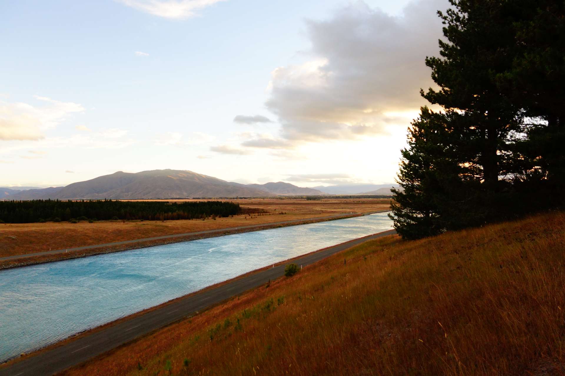
Right next to our little sleeping forest there was a canal with water that was just as blue as that of the lakes. No wonder, the canal is also fed from Lake Pukaki.
Bravely, we even jumped into the cold blue...
...only to realize that water drained near the ground from an alpine lake is INCREDIBLY COLD. Way below ten degrees. That was no fun - the head hurt and the skin went numb. Just wash quickly and get out of here!
Since the parking space was so nice, we stayed here for a few nights.

++++++++++ Mount Cook +++++++++
When you drive along Lake Pukaki, you are heading straight towards New Zealand's highest mountain, Mount Cook. In Maori it is called Aoraki.
On this map, you can already see the famous 'Fox Glacier' marked north of Mount Cook. We can't go there from here - at least not without an airplane. But we did get very close to Mount Cook!
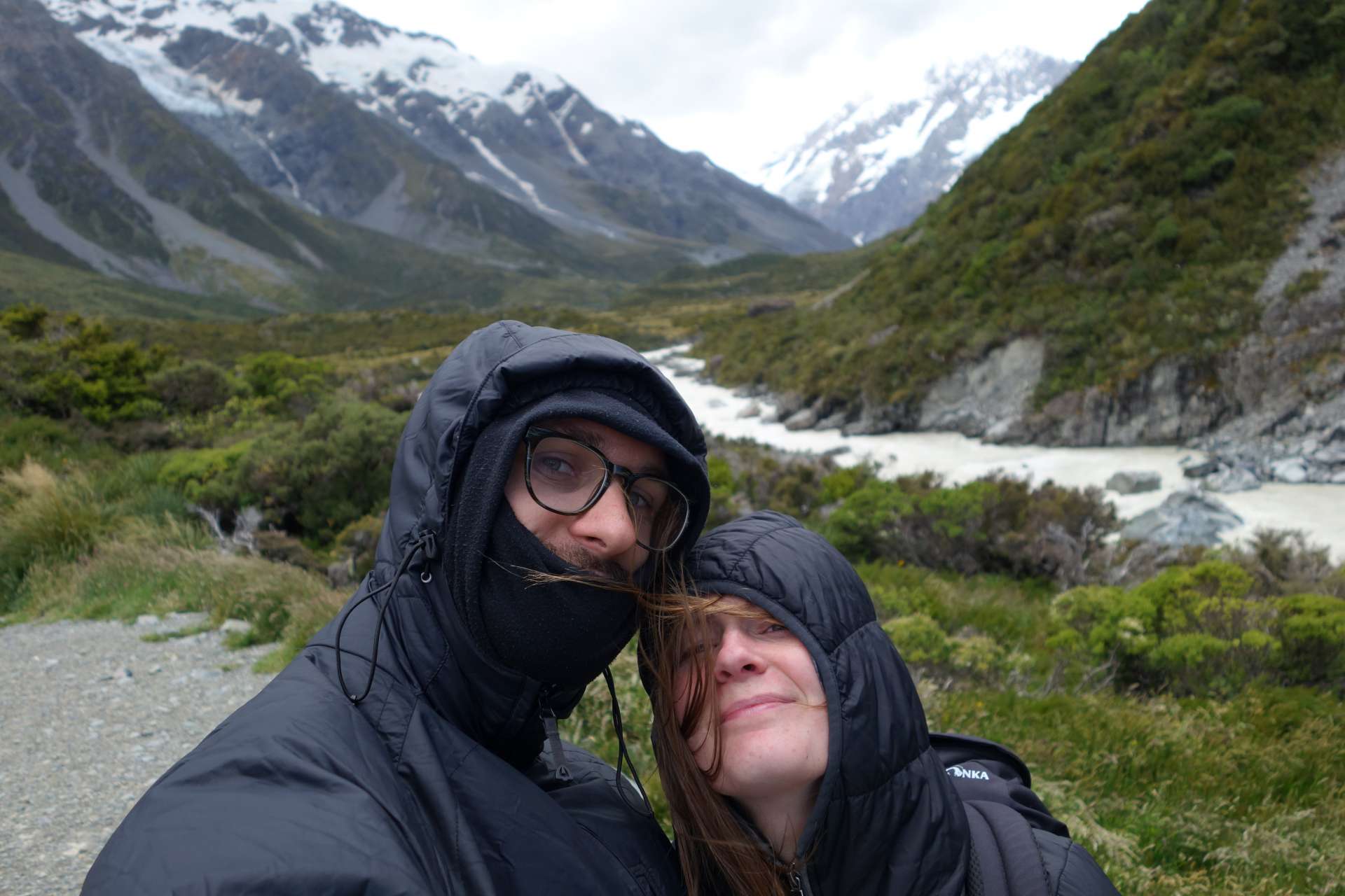
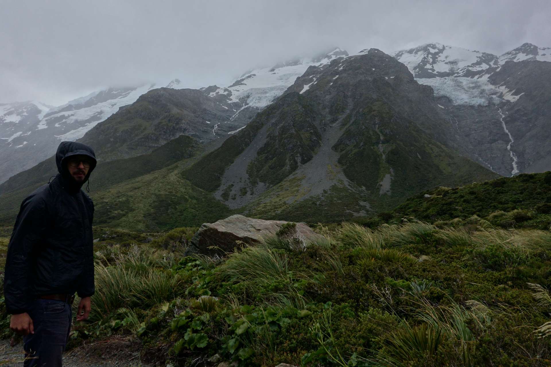
It was incredibly windy on this route...
But the car held up well, and the view of the Southern Alps was more than worth it:
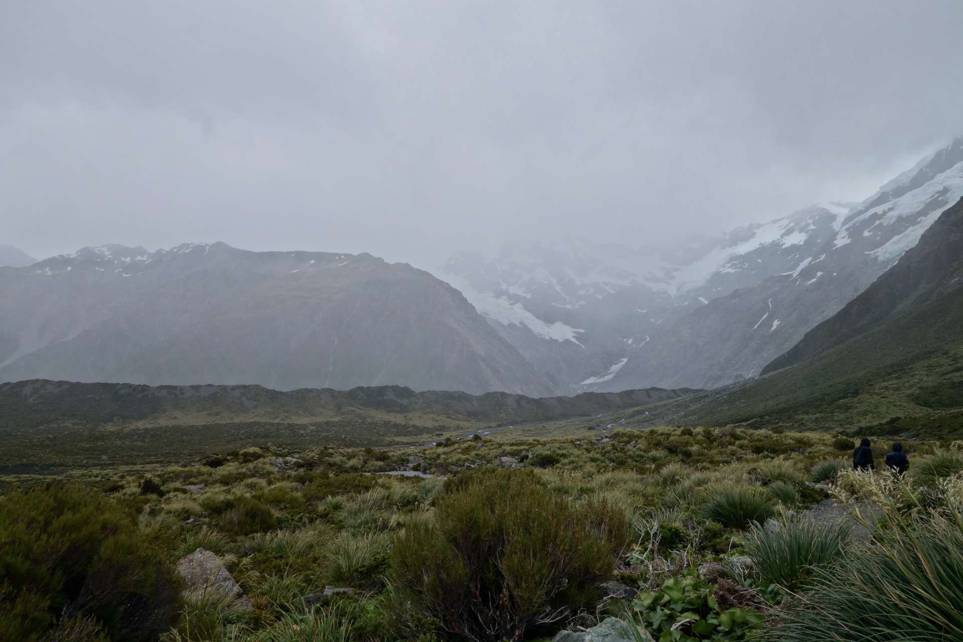
Because of the clouds, it's a bit difficult to see, but somewhere in the upper left of the picture is Mount Cook. It's 3724 meters high and certainly not the target of our next mountain climb ;) . There are certainly hiking routes up there, but that was too much for us.
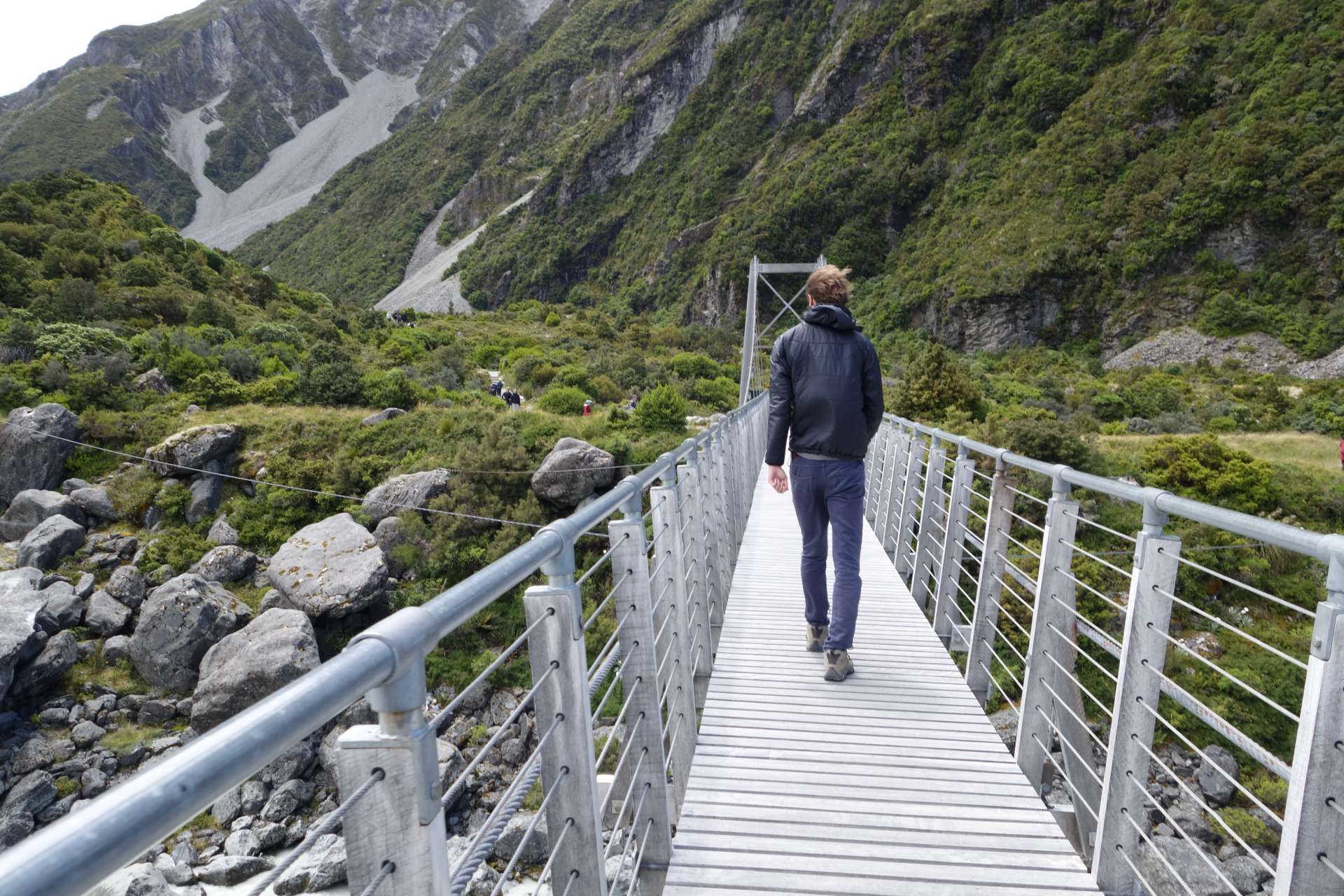
We were satisfied with a leisurely hike 'in the direction' of Mount Cook, on the Hooker Valley Track. Unfortunately, the peak of Mount Cook couldn't be seen because of the clouds, but there were other snow-covered mountains.
If you take a look back from the hiking path, you can see a small blue strip in the valley - that's Lake Pukaki viewed from the north:
This tour was a perfect example of how you always have to be prepared for all seasons when hiking in New Zealand. It gradually became windier and cloudier...
And on the way back, the rain caught up with us...
....But that's not so bad when you have a dry wardrobe-sleeping forest available ;)
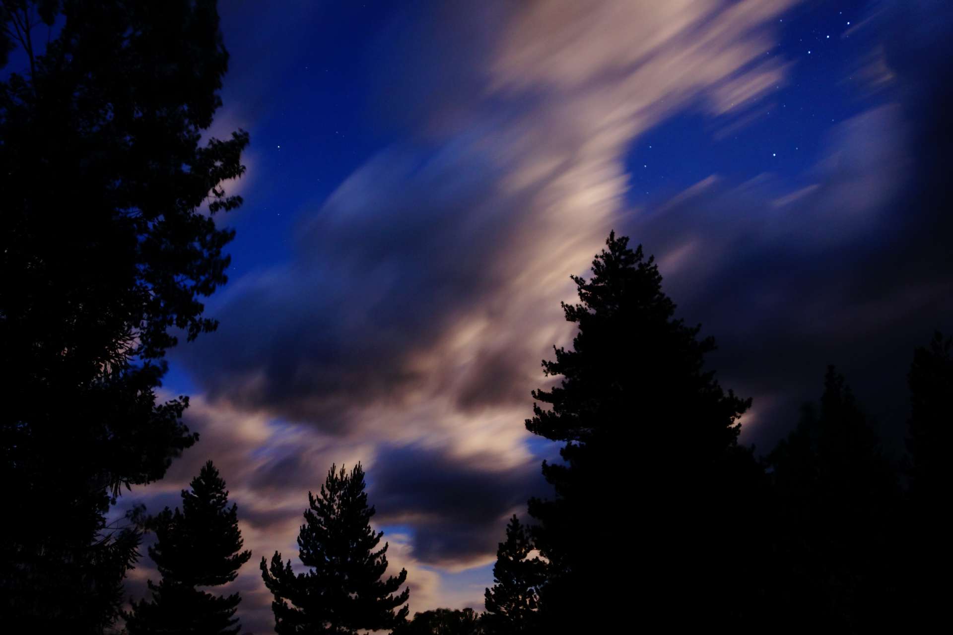
In the evening, we took a walk through our forest. Here's the canal at dusk:
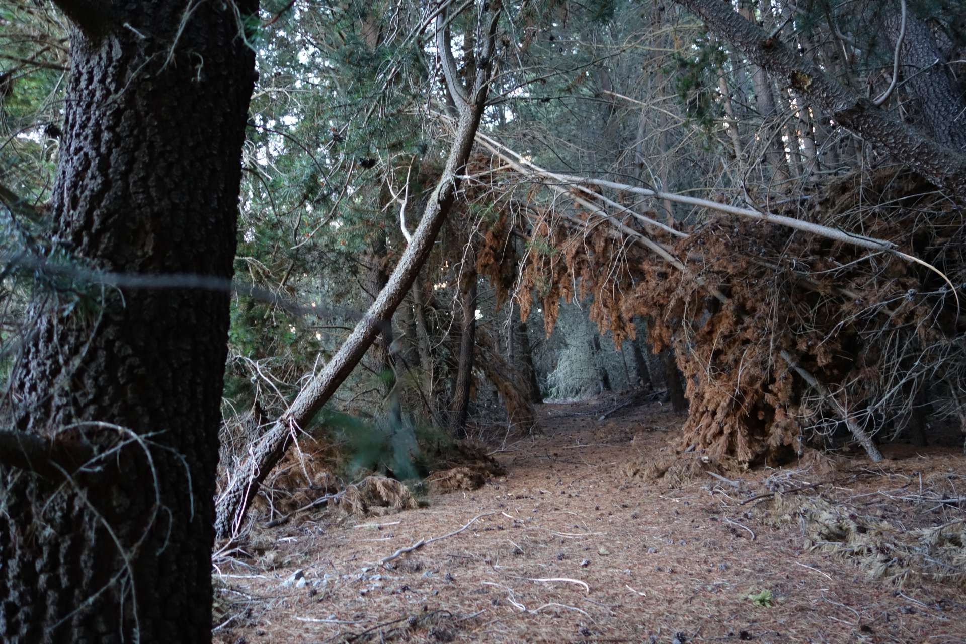
There are quite spooky paths through the forest:
But we made it back safely!
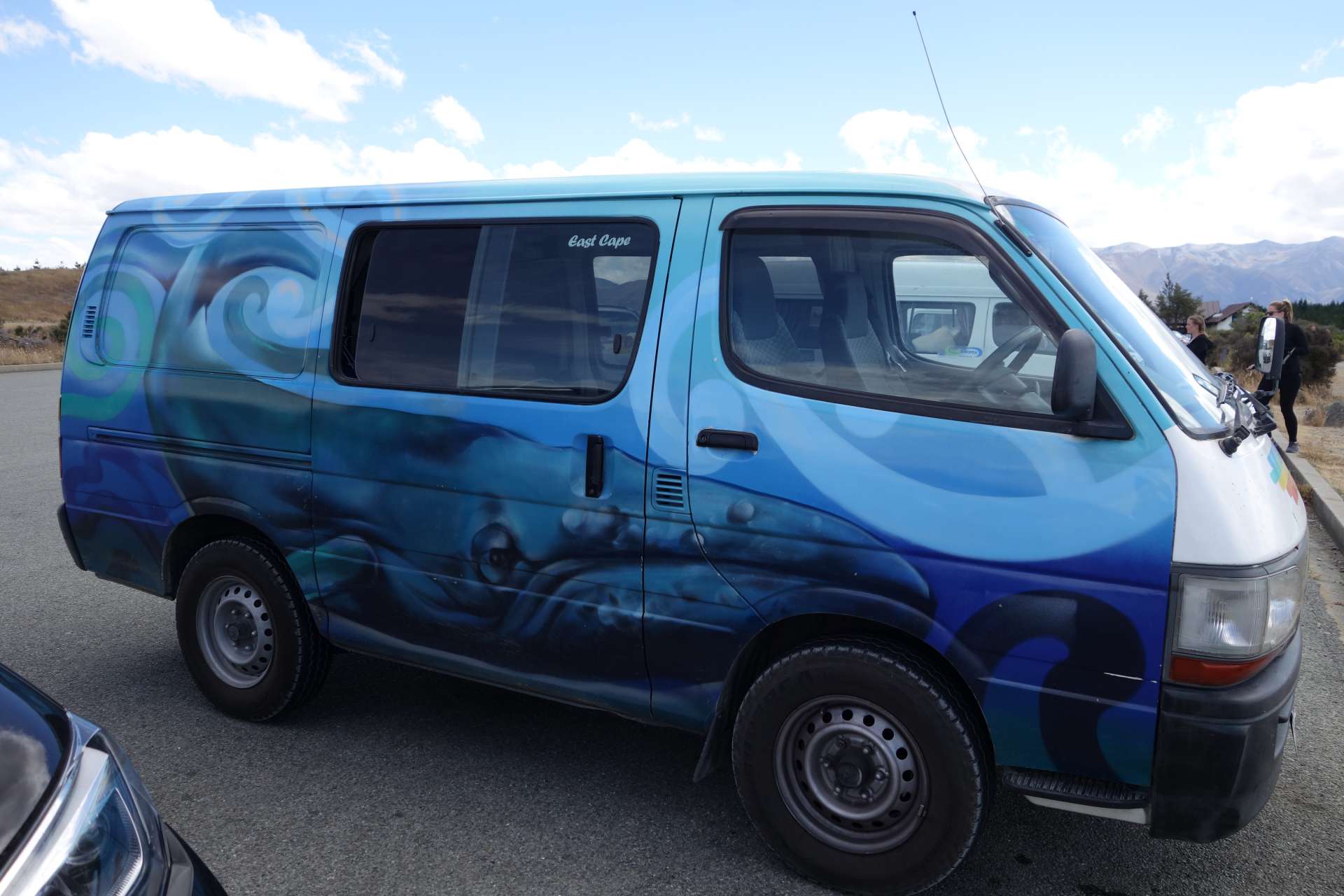
Here are a few fancy cars:
And with that, we're back on the road and will report from the city soon :)
Love greetings!
HanNZette
ꯅꯤꯎꯖꯂꯦꯇꯔꯗꯥ ꯁꯕꯁ꯭ꯛꯔꯥꯏꯕ ꯇꯧꯕꯤꯌꯨ꯫
ꯄꯥꯎꯈꯨꯝ