Exweller in Neuseeland
vakantio.de/exweller_in_neuseeland
Day 21 - Morrrdoorr or Tongariro Alpine Crossing
പ്രസിദ്ധീകരിച്ചു: 20.02.2020
വാർത്താക്കുറിപ്പിലേക്ക് സബ്സ്ക്രൈബ് ചെയ്യുക
Now is the day when I am going to attempt the Tongariro Alpine Crossing, a day hike in Tongariro NP.
The weather is good and at 7 am I take the shuttle bus to the start of the hike. It's clear skies and only light wind is predicted at Red Crater.
Due to the weather conditions of the past few days and the forecasts for the next ones, it was clear that there would be a high number of visitors – but no matter, it will still be great.
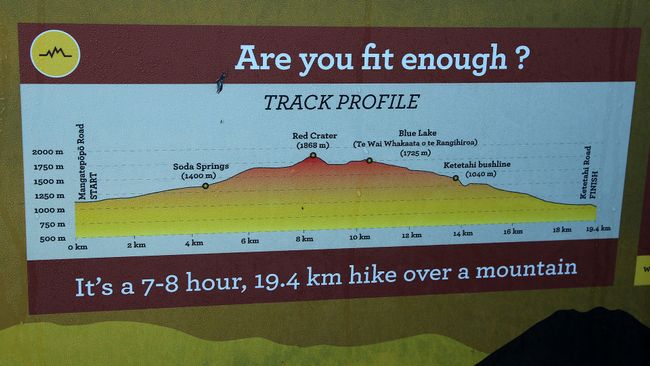
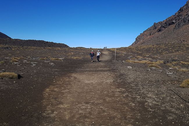
At 7:35 am, I start walking and the first section until Soda Springs is still easy.
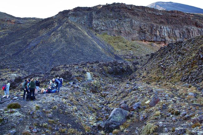
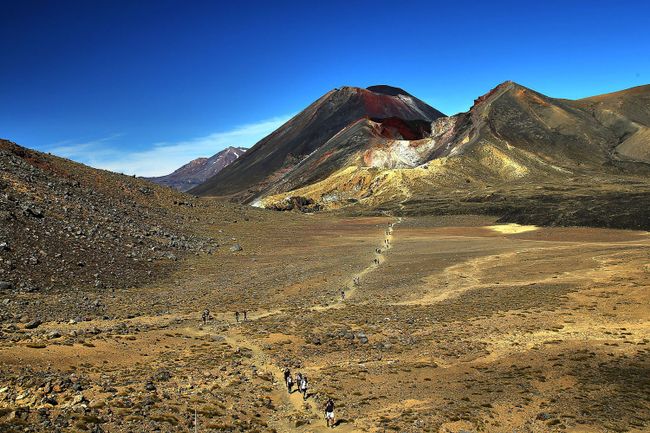
At the Devils Staircase to South Crater, the crowds of visitors become noticeable. The person in front determines the pace and so this section is also completed without major effort.
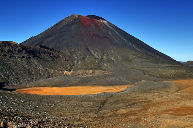
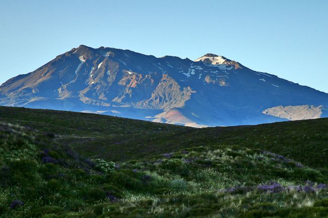
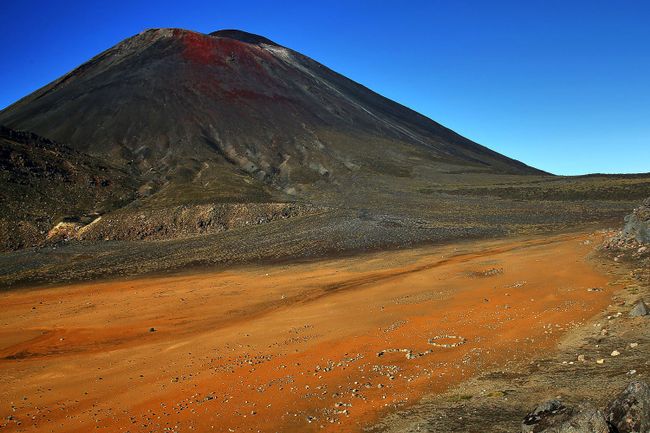
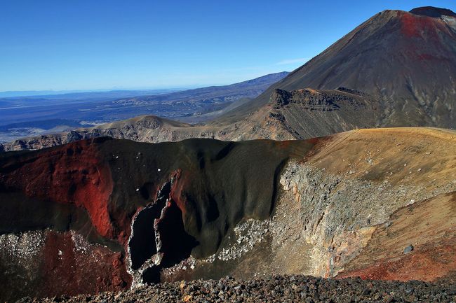
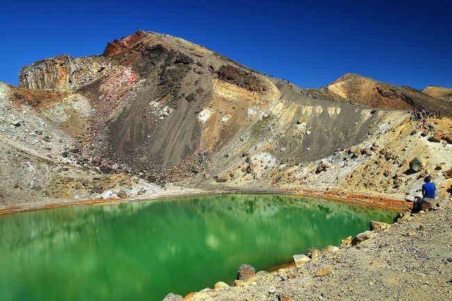
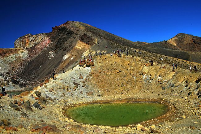
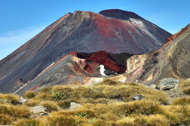
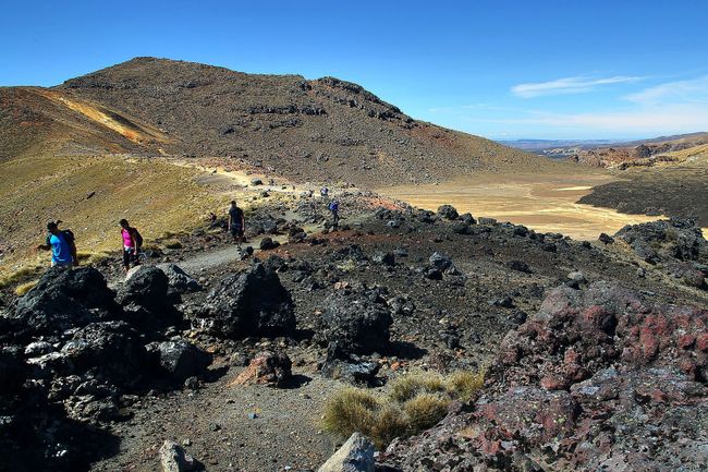
On the sides, Mt. Ngauruhoe (2287m) and Mt. Tongariro (1967m) tower. The path goes through South Crater to a plain and then starts climbing towards Red Crater.
This climb is a bit more challenging and finally I reach the highest point of the hike at 1,868m.
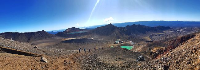
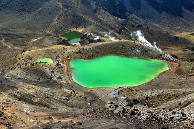
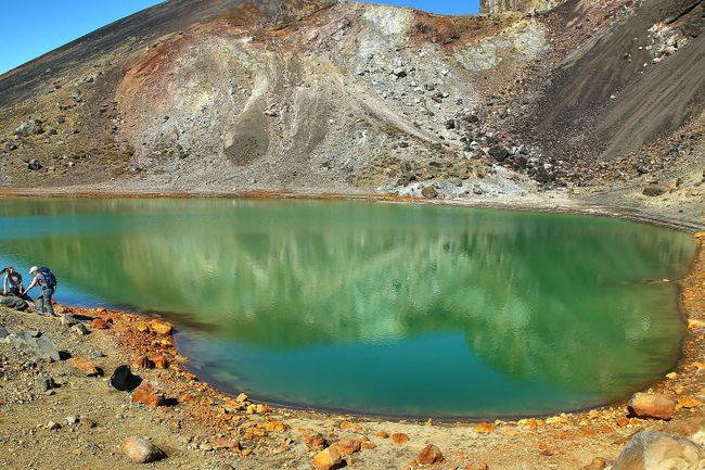
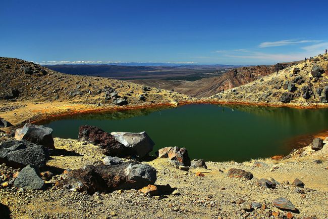
Now comes the most demanding part of the hike: the descent to Emerald Lakes. Here, you have to come down the slope with loose scree; sometimes sliding or shifting body weight on the hooks.
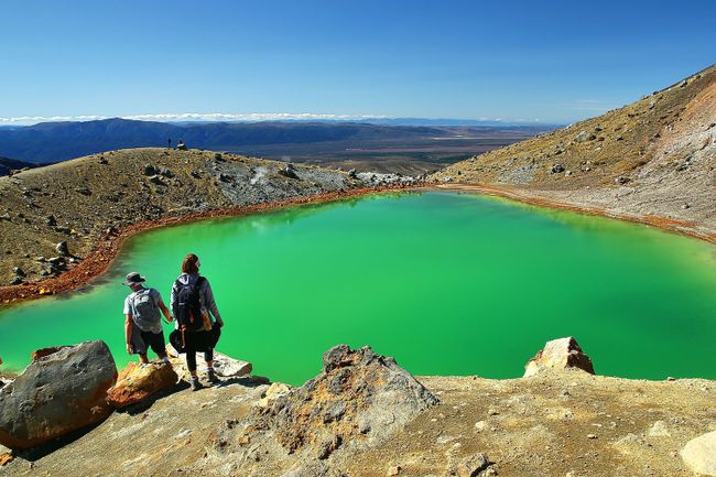
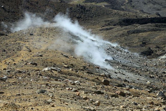
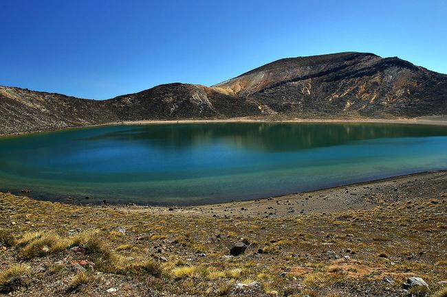
There is a smell of sulfur in the air, indicating the ongoing volcanic activity. After a short break, I continue through Central Crater with a short, steep climb up to Blue Lake.
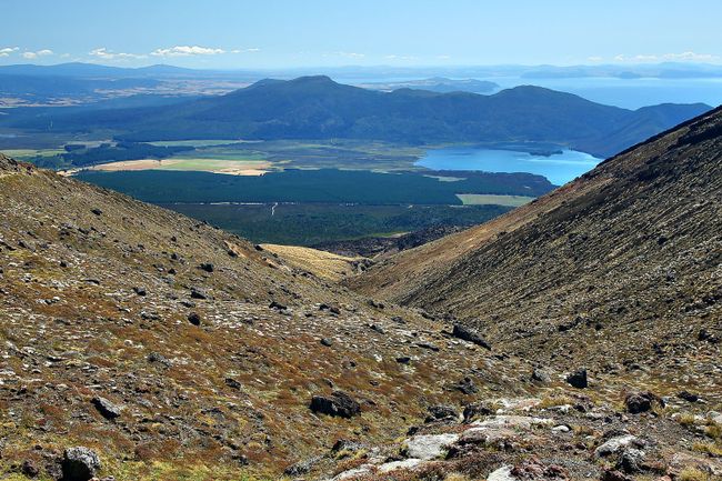
From here, the path steadily descends. It goes down more than 1,000 meters in elevation through well-developed trails, passing by Ketetahi Hut in switchbacks. The last section leads through a forest to Ketetahi Car Park.
I have covered the distance of 19.4km with a total elevation gain of 1,876 meters in six hours. Unfortunately, I miss the shuttle bus at the destination by two minutes, so I have to wait another 90 minutes to return to the car.
Back at Skotel, I continue to Lake Taupo, where I have booked my next two nights' stay.
വാർത്താക്കുറിപ്പിലേക്ക് സബ്സ്ക്രൈബ് ചെയ്യുക
ഉത്തരം
യാത്രാ റിപ്പോർട്ടുകൾ ന്യൂസിലാന്റ്
