Stage 5: Hochfügen - Mayrhofen
പ്രസിദ്ധീകരിച്ചു: 16.07.2017
വാർത്താക്കുറിപ്പിലേക്ക് സബ്സ്ക്രൈബ് ചെയ്യുക
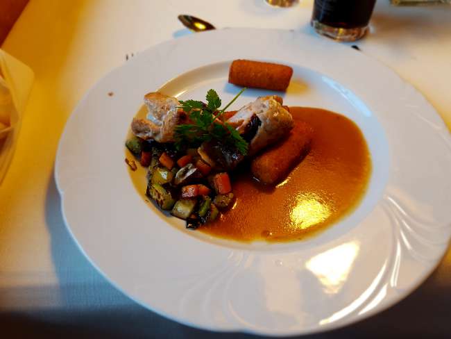
Last night there was a good 5-course menu, after which I was naturally full. The hotel from yesterday is located in a pure winter sports area, and as I found out, the hotel is open specifically because of the alpine crossers. So you could also have a good conversation across the tables during dinner.

As expected, there was a large breakfast buffet, even with ham and cheese toast, which I, among other things, took. After me and other hikers studied the map extensively last night, I decided to take a slightly different route than planned.
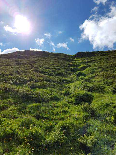
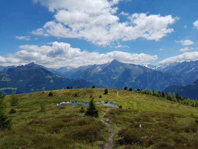
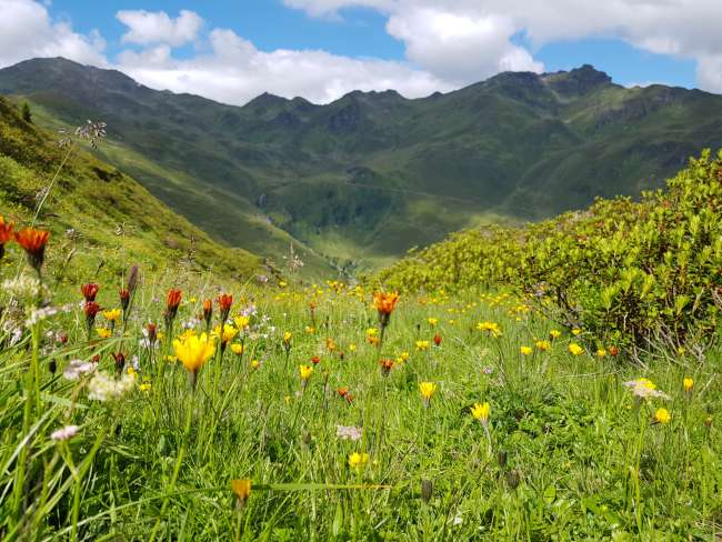
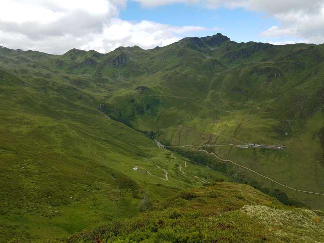
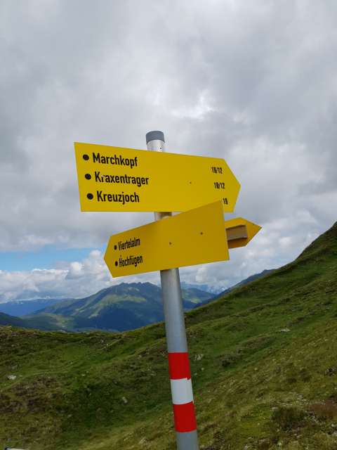
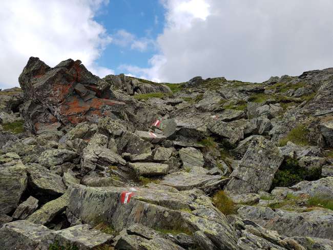
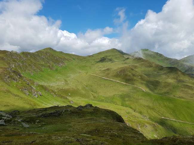
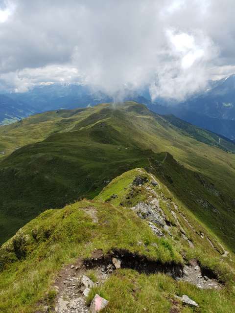
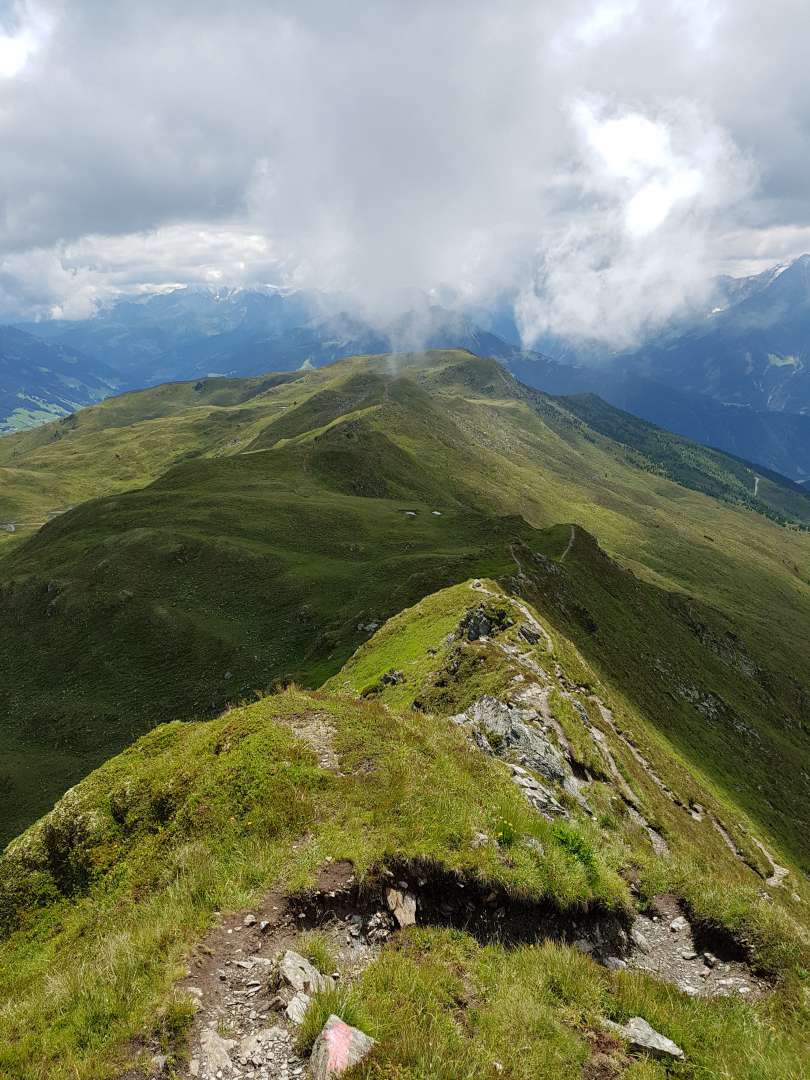
Relatively early on, I deviated from the actual path and chose a parallel path higher up the slope. I did not continue to follow the original plan to walk on the top of the mountain ridge because the ascent was too strenuous. Instead, I only came to the main ridge later, when the mountains became a bit smaller. Nevertheless, I was quite happy when I arrived at the highest mountain, the Kreuzjoch at 2336 meters.


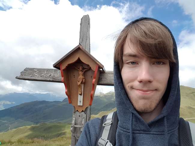
From there, three more peaks followed with 2280, 2268, and 2133 meters, where you could also stamp your passport at the summit cross.


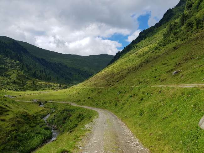
The actual problem was the bus that takes you from the final stop of the tour at around 2000 meters down to 600 meters to the hotel. The problem is not that you would miss the bus, but that it only departs at 3:50 pm - I and others were already there around 1 pm, so we decided to walk, as it is only downhill.
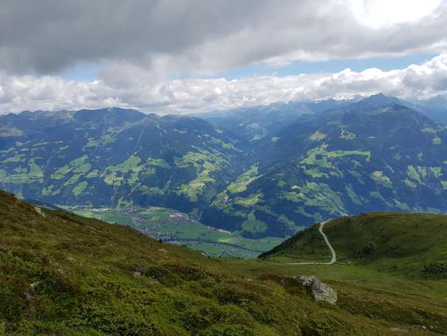
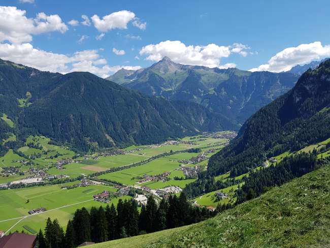
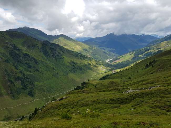
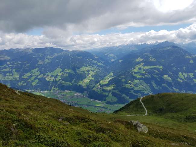
It was quite cold at the top, and you started to freeze if you didn't move for a while, but it got warmer with every meter, and in the valley, you could walk in a T-shirt. On the way down, you could enjoy the great view of the Zillertal valley.


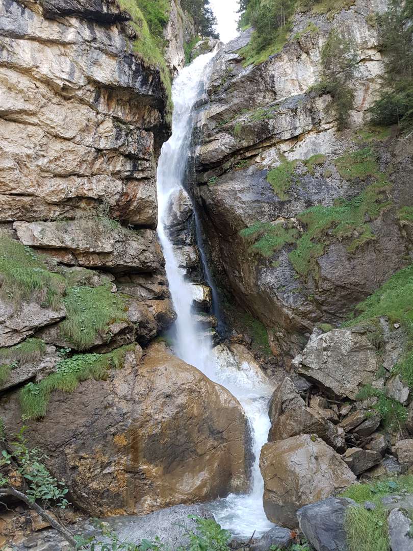
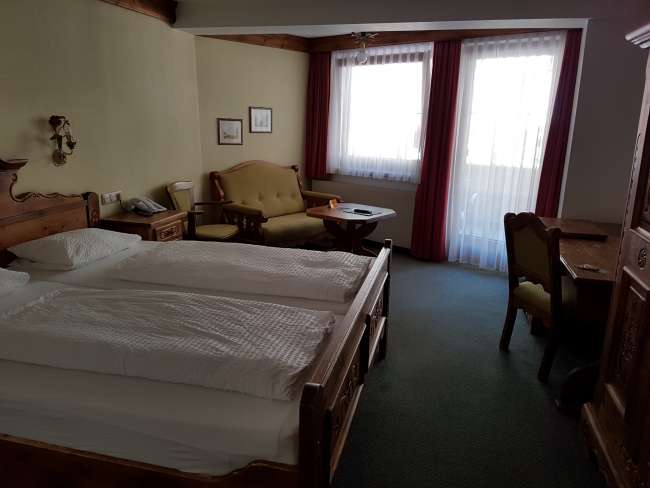
However, the path was quite long, and I was glad when I arrived at the hotel around half past five. Exhausted from the hike, I immediately lay down on the bed and relaxed.

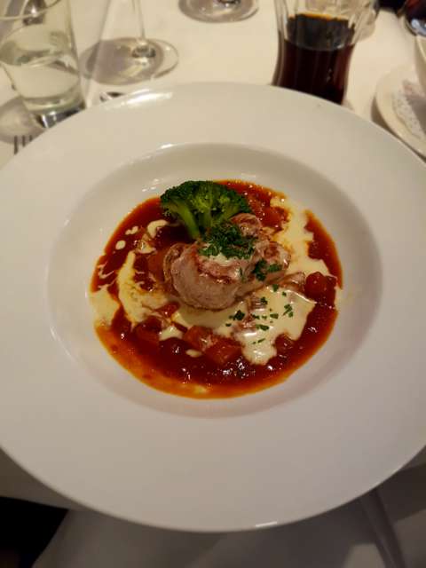
Dinner was also served, with 4 courses, and tomorrow the bus will leave at nine o'clock. Then the border to Italy will also be crossed, and I will, according to plan, reach the highest point of the hike.
വാർത്താക്കുറിപ്പിലേക്ക് സബ്സ്ക്രൈബ് ചെയ്യുക
ഉത്തരം
യാത്രാ റിപ്പോർട്ടുകൾ ഓസ്ട്രിയ

