
July 14th: On the road in the western south
Tihchhuah a ni: 22.07.2020


Ryfylkevegen (A)
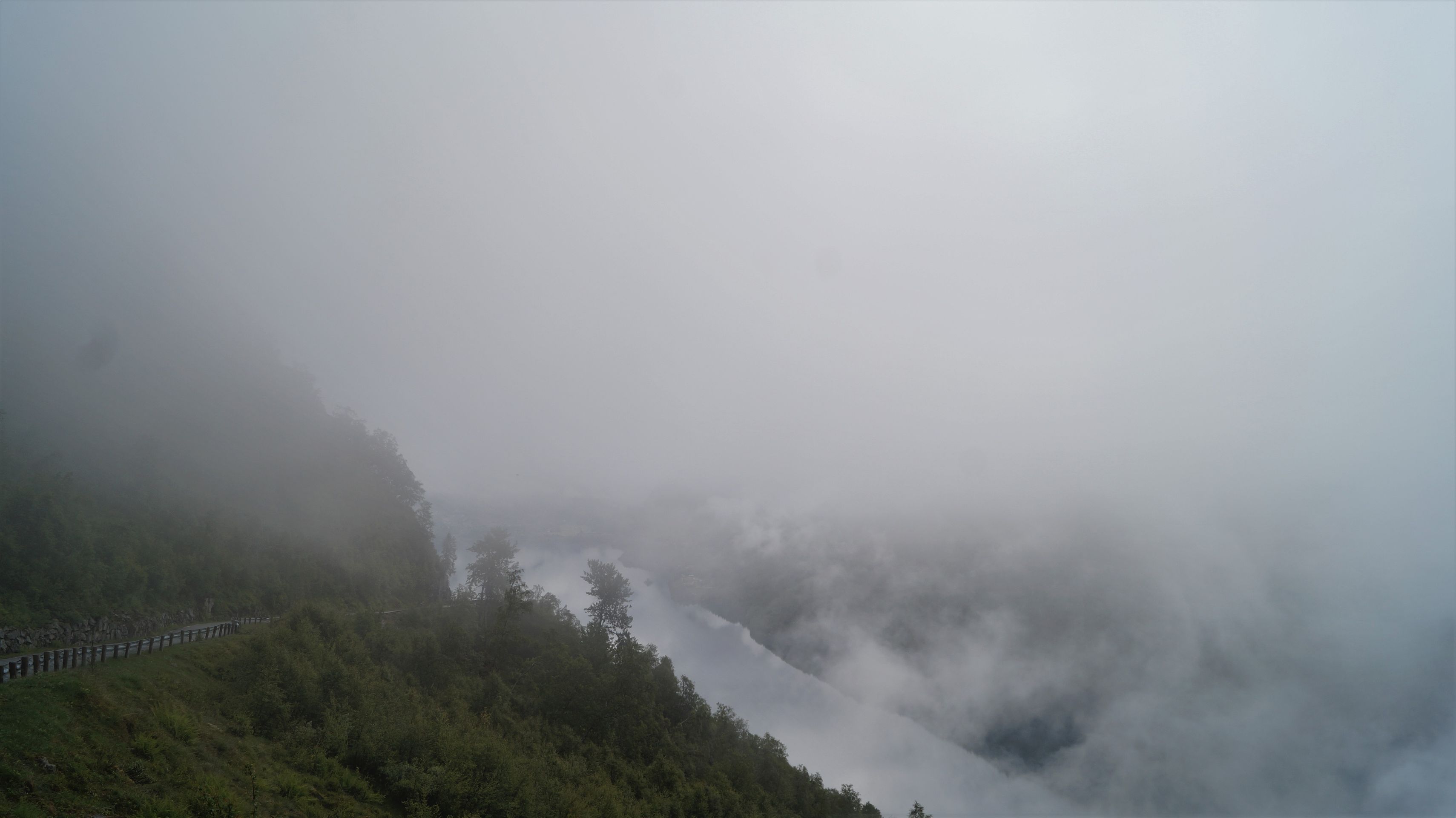
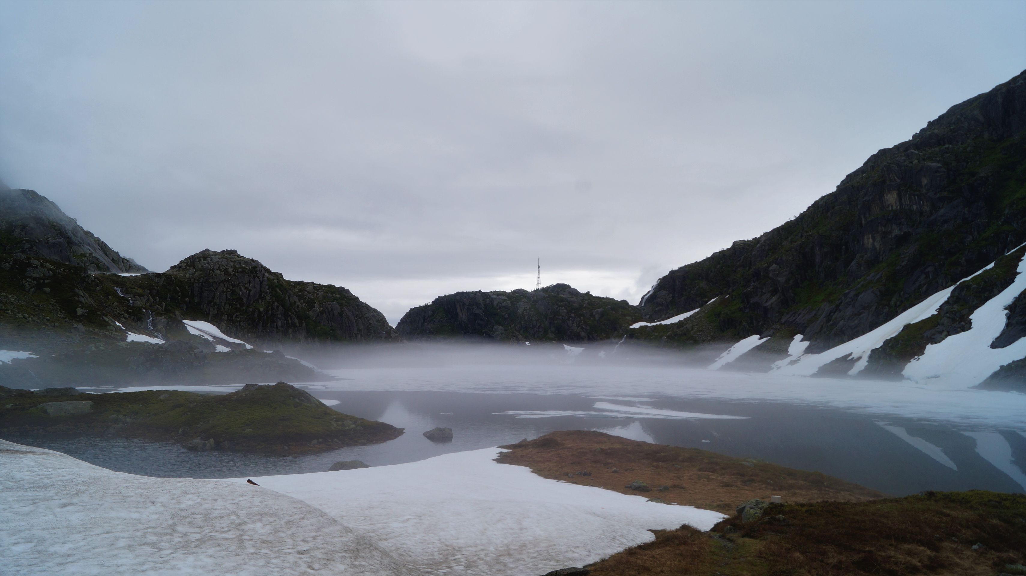
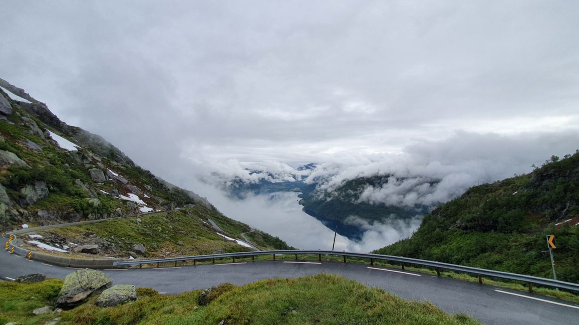
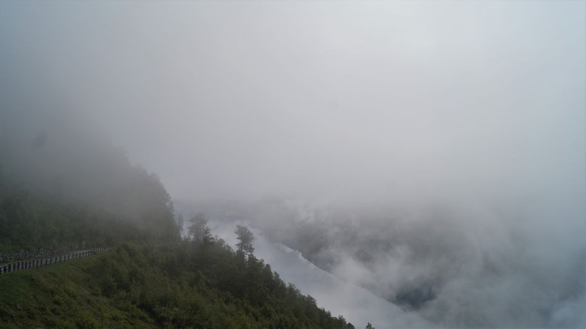
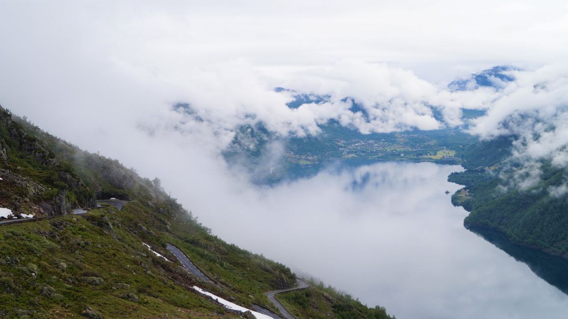
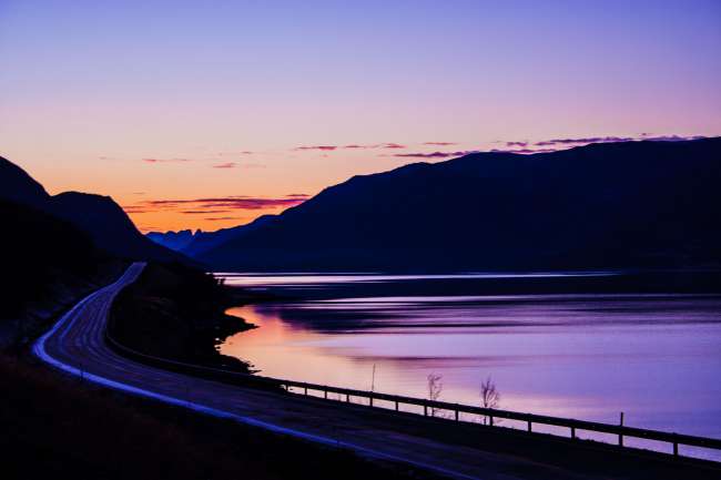
Early in the morning, I set off again on a national tourist route. This led along very narrow roads along the fjord. Due to the rainy weather and the early hour, it was still veiled in clouds and even when it reached the high plateau itself, the landscape seemed enchanted. Tall snow walls again protruded along the roadside, sometimes rocks had broken off and partially blocked the road.
Past Preikestolen, a plateau that I would have hiked if the weather hadn't been so wet, the road led me to Stavanger, the oil capital.
Stavanger (B)
In Stavanger, I wanted to visit the canning museum, but it was under renovation. So I took a little walk through the "Gamle Stavanger" (Old Stavanger), where the old wooden houses lined the narrow alleys idyllically and, with the help of the red roses, the blue window sills, and the old gas lamps, conjured up a very special flair. There wasn't much else to see in Stavanger and a rain front was approaching, so I continued driving and here are some more information about the city.
When oil was discovered in the North Sea on Christmas '69, Norway's ascent began, especially that of Stavanger. The boom made it one of the richest but also most expensive cities in the country. And the picturesque district of "Gamle Stavanger" was not always like this. For a long time, the now 170 protected houses were left to decay until a project renovated them in 1975, and so you can still visit the houses from the 18th and 19th centuries today. Why is there a canning museum in Stavanger? From 1880 to 1920, this was Stavanger's main industry. Everything, from salting, smoking, packaging, and sealing, was done by hand at that time. There were about 50 canning factories, and two-thirds of the population were accordingly dependent on sardines.
Sverd i Fjell (B)
Just outside Stavanger, there is a large statue of three swords in the rock. According to legend, Harald Hårfagre defeated the army of the petty kings here in Hafrsfjord in 872, laying the foundation for a unified kingdom. In commemoration of this, this monument was erected.
Jæren and Flekkefjord (C)
Along the North Sea Road, I drove through the Jaeren region, which was a mix of North German plain and American farms. I felt like I was partly in the wrong country. Every square centimeter seemed to be used for agriculture, but suddenly the landscape changed into a rugged rocky landscape and the land became hillier. I even had to conquer up to 400 meters high "mountains" in switchbacks. The Jæren region is particularly known for its burial mounds from the Iron Age and other archaeological sites from the time of the migration of peoples.
Finally, I reached my place for the night on a peninsula near Flekkefjord. The nearby village is actually called Flekkefjord and with its white wooden houses it is emblematic of the "Riviera of Norway," which especially this region in southern Norway is known for. Do not confuse it with the Flekkefjord, which branches off from the Dalsfjord and was named after the neighboring village Dales.
Close by was Kragerø, also called the St. Tropez of Norway, and the beginning of the "white towns of Southern Norway" that attract visitors with their narrow streets and brightly white wooden houses.
Chhanna
Khualzin report Norway ram a ni