Trip to 'Sägeberg' and the Giant Giant Buddha
ຈັດພີມມາ: 14.11.2019


ຈອງຈົດຫມາຍຂ່າວ
20.10.2019 - Mount Nokogiri 鋸山
A week after Hagibis, it was time for a Sunday hiking trip again: Nokogiriyama (which literally translates to 'Saw Mountain') with its steep cliffs, temple complex, and Japan's largest stone Buddha was still on my list.
The mountain is located on the Boso Peninsula, which belongs to Chiba Prefecture and is more or less on the opposite side of Tokyo Bay from Tokyo. After Chiba had already suffered considerable damage from Faixal, and was hit particularly hard by Hagibis, I was unsure for a long time whether I should really make the over 2-hour train journey... I had already encountered closed hiking trails due to typhoon damage in Kamakura. Unfortunately, I (or at least I) couldn't find any up-to-date information on the hiking trails on the internet. I was only able to find out that the cable car that goes up the mountain was operating normally. Well, if that works, at least I have a plan B and there will probably be something interesting to see on the mountain 😉 So, on the train and off we go!
The rural side of Japan
The first hour of the train ride went straight through Tokyo and then seamlessly through Chiba. Only 2 major rivers broke through the seemingly endless sea of houses... then it suddenly became very rural. The concrete buildings were replaced by small, fairly 'thin' looking houses, and later by forests and fields on the left and the bay on the right. Welcome to the other side of Japan!
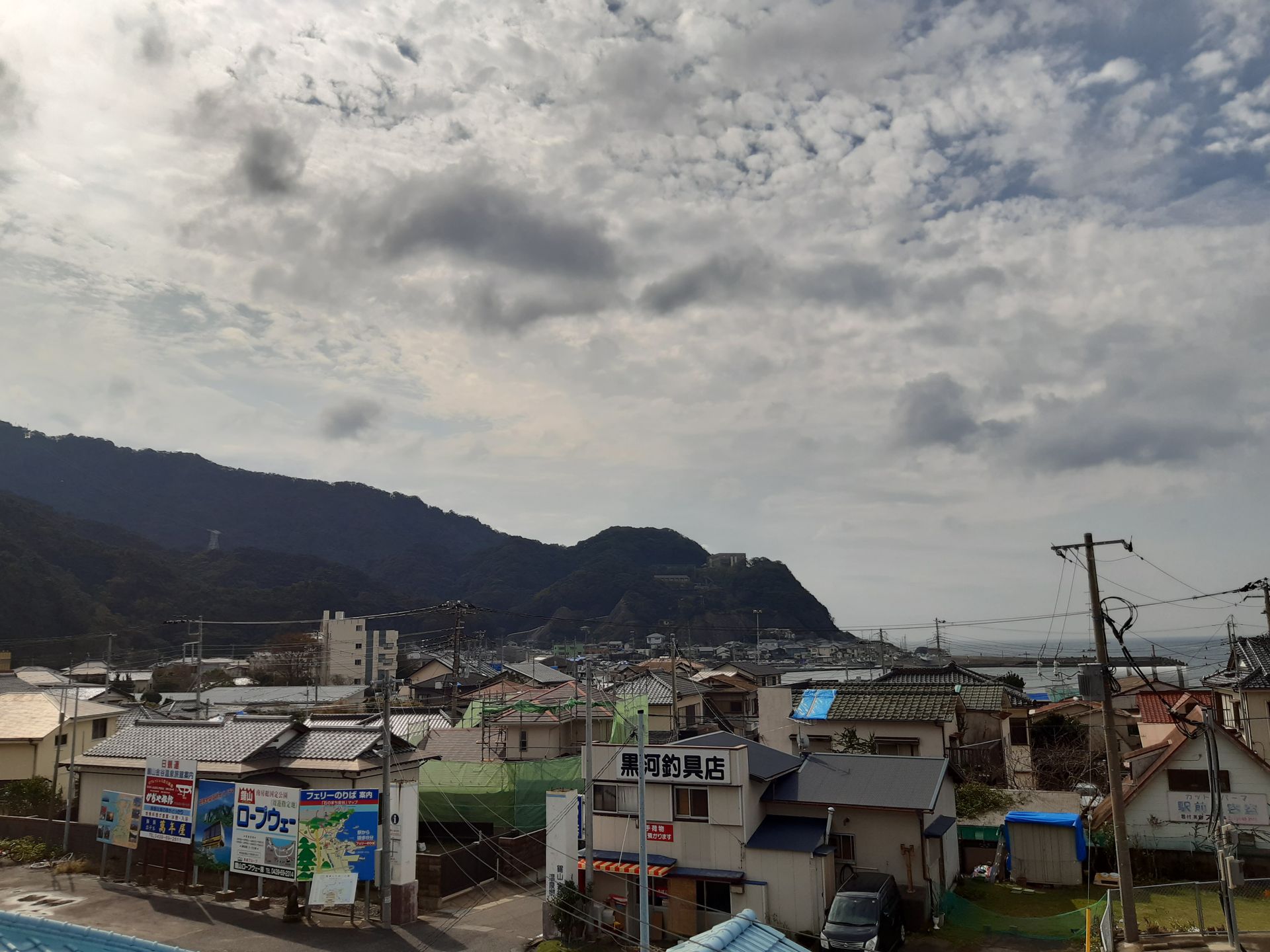
My destination station, Hama-Kanaya, was nothing more than a small building and a level crossing to get onto the platform. The surrounding area, the associated town, had the charm of an abandoned, aging summer destination on a sunny Sunday morning. Many roofs of the buildings were covered with blue foil, held in place by stones or sandbags - signs that at least one of the typhoons had damaged the roof. I saw several men repairing roofs and clearing the street drains of all kinds of washed up debris and sediment. So, on-site, it didn't surprise me that there was a large sign directly at the train station indicating that both hiking trails to Mt. Nokogiri were actually closed. ...okay, so I guess it's plan B after all 😉
Plan B - Taking the cable car up the mountain
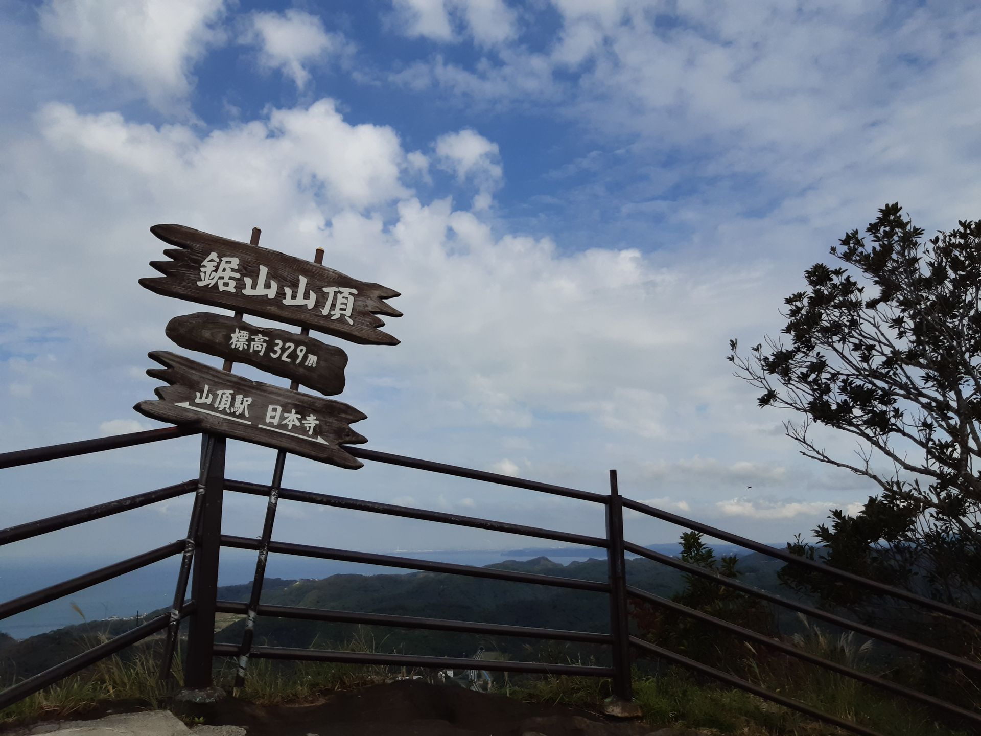
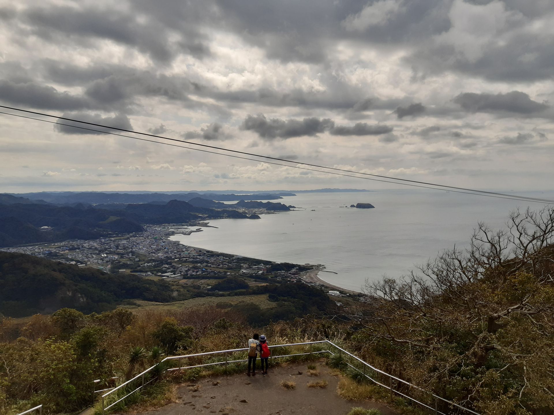
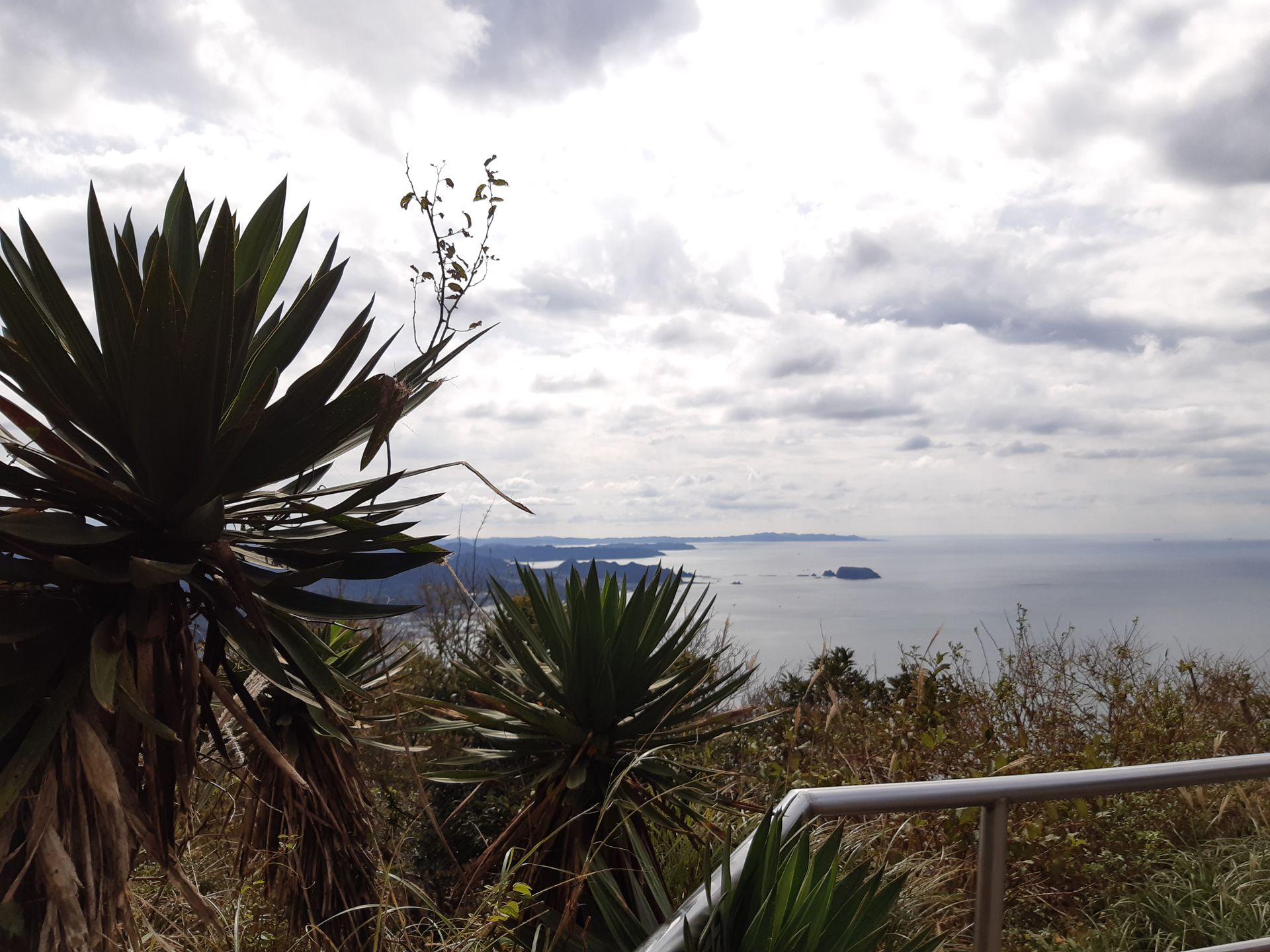
Together with a group of older ladies, I made my way up the mountain - and the view across Tokyo Bay became more and more beautiful. On the mountain itself, there is a circular path that leads to various viewpoints, Buddha statues, and, a bit further down the other side of the mountain, the Nihon-ji Temple. I didn't find the many steep stairs that connect these points to be that bad after all, considering that I had unintentionally saved myself from the 50-minute climb uphill 😅
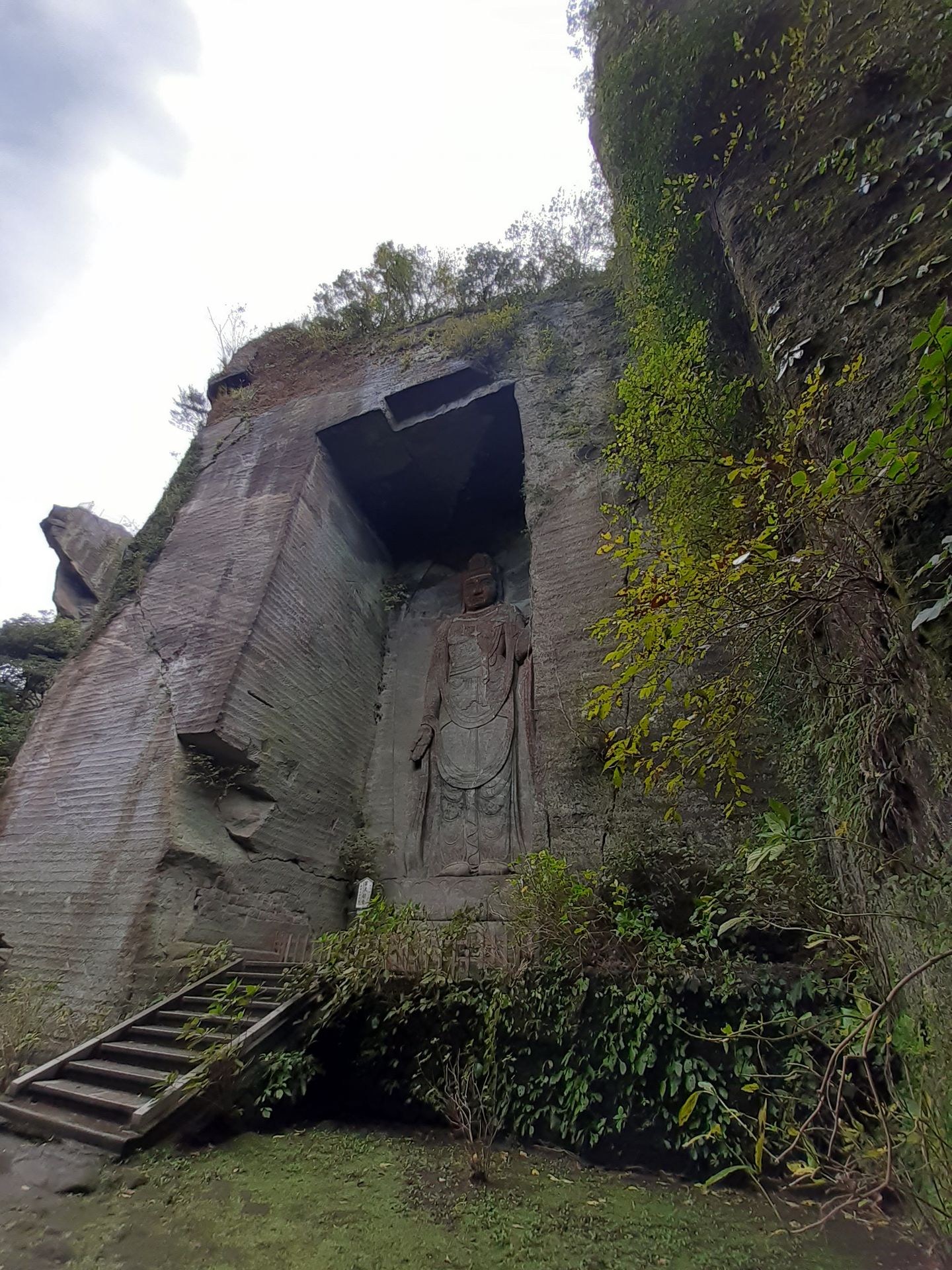
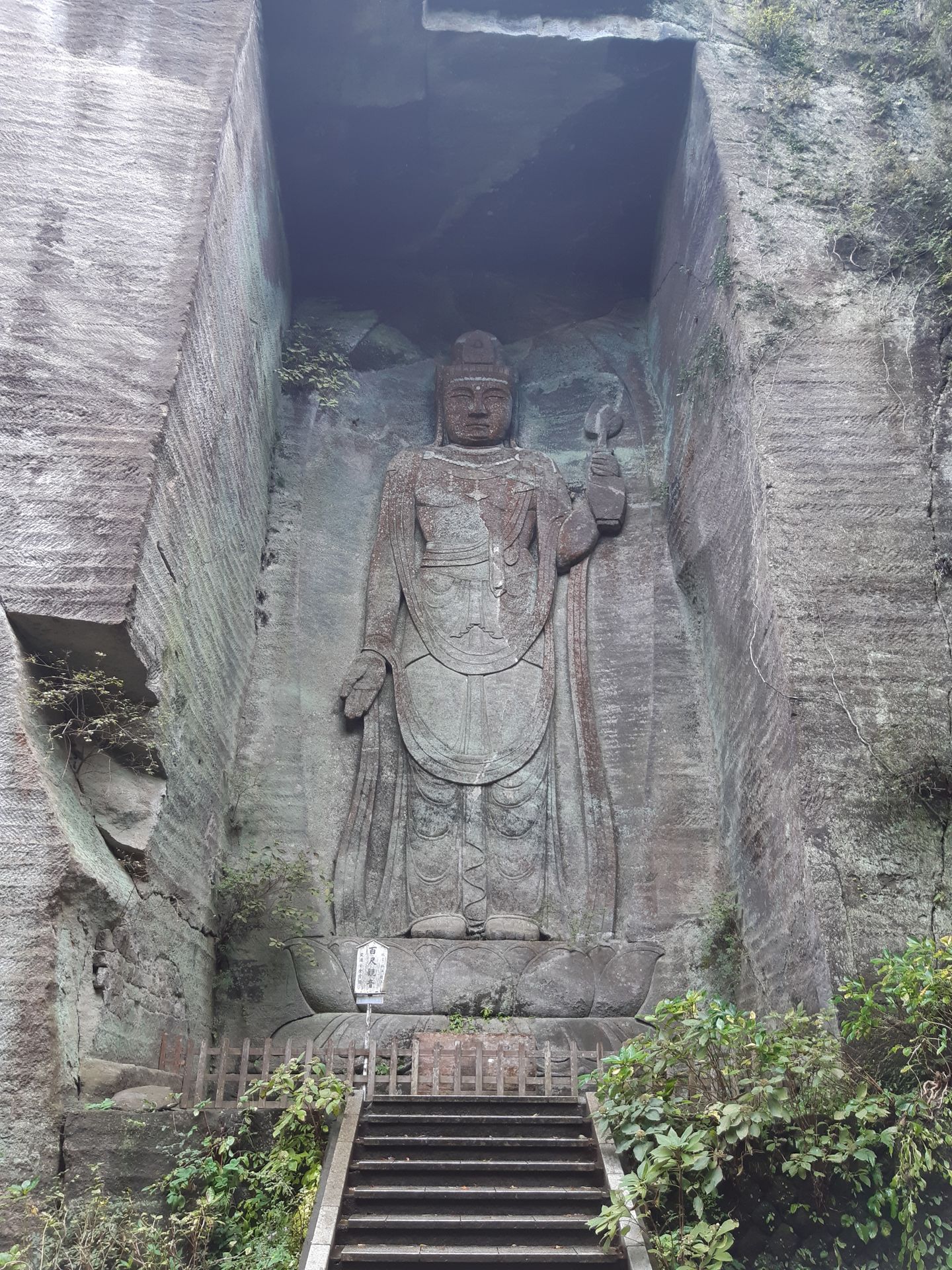
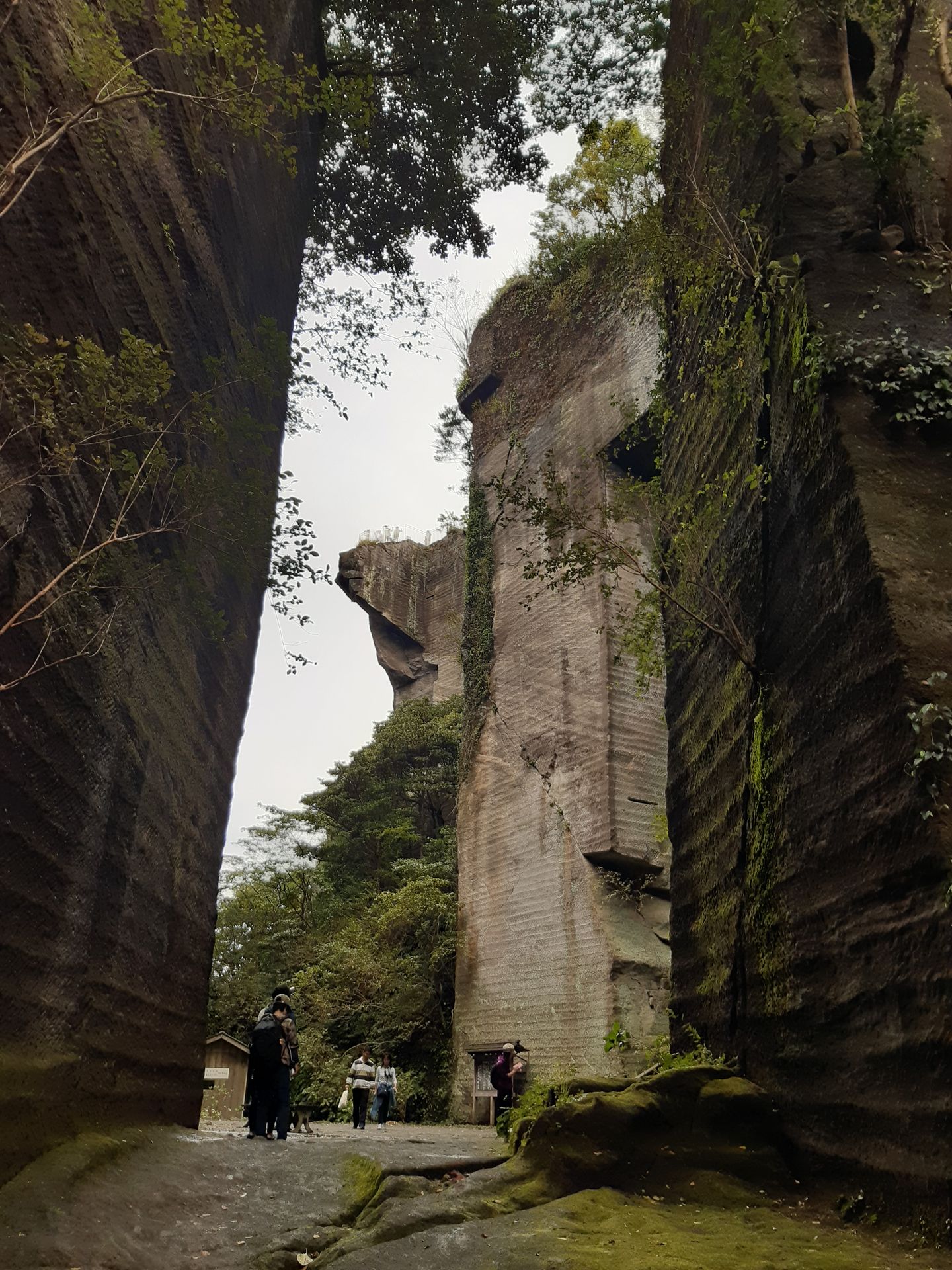
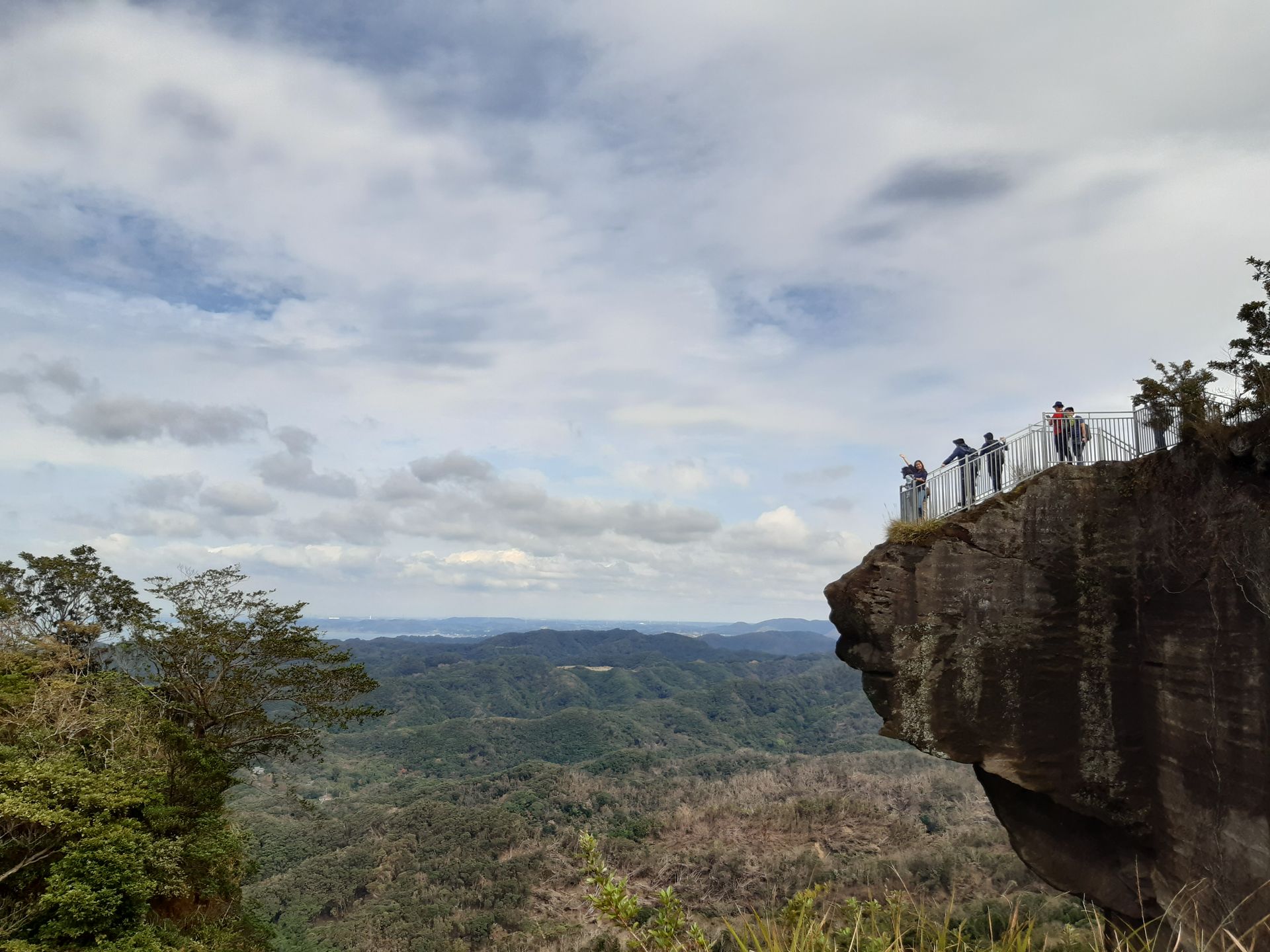
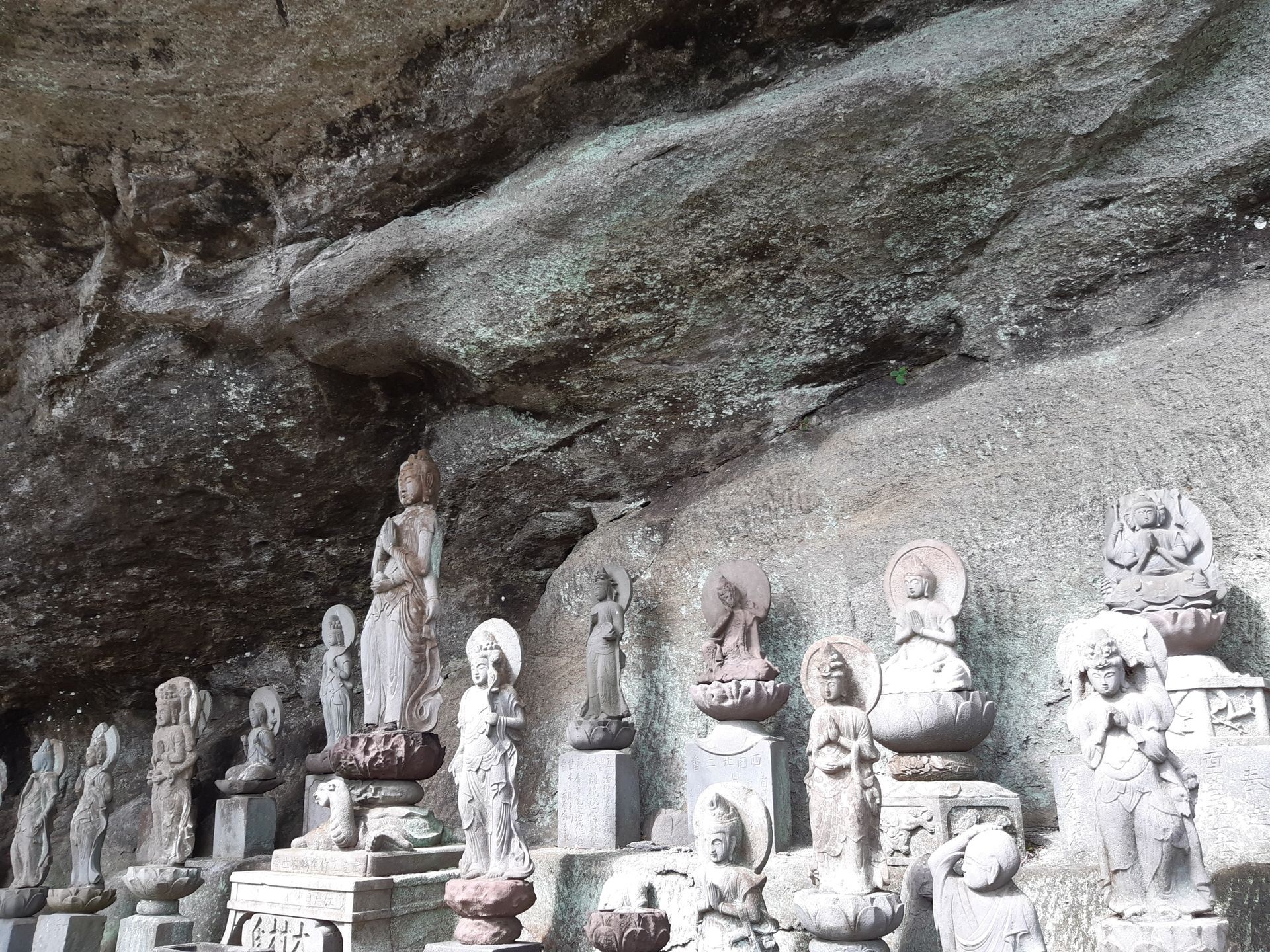
So, first down the stairs, then up again, and through the remains of an Edo-era quarry to the Hyakushaku Kannon, a huge figure carved into a vertical rock face. Then up the stairs to the Jigoku Nozoki, the view of hell, a rock protruding beyond the steep cliffs - which also sways slightly when you walk on it 😬
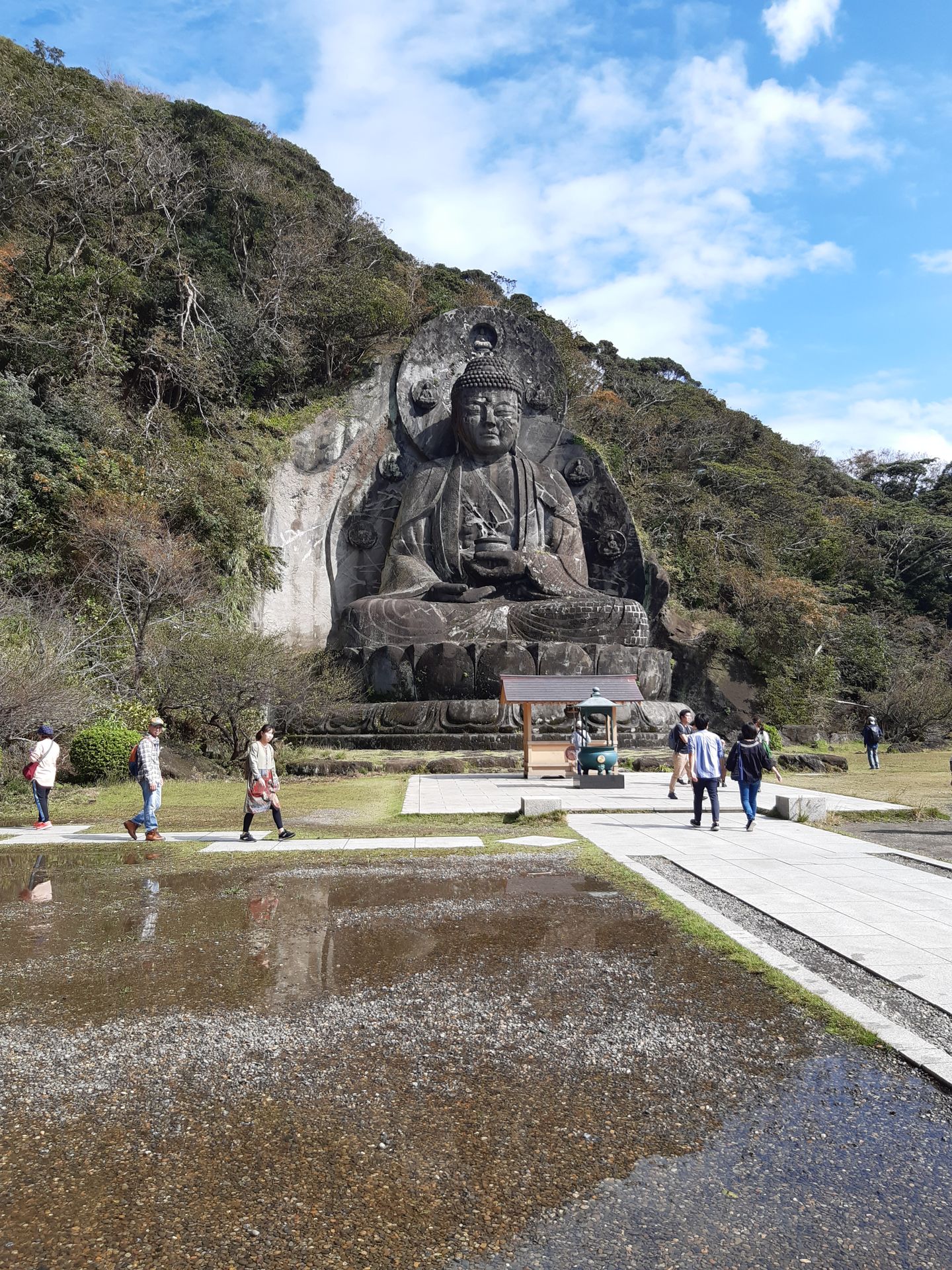
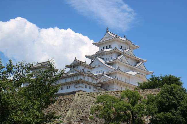
And then endless steps down to the Great Stone Buddha, the Ishidaibutsu. The statue, made in 1783, is even bigger at a total of 31m than the Great Buddha of Kamakura (13m) and the one in Nara (18m).
From circular path to one-way
Unfortunately, some paths in the complex were also closed, so the actual circular path became a self-made there-and-back path... But since I didn't feel like climbing all those stairs right back up, I decided to continue, slightly downhill, towards the temple. I know that this would make the return trip longer and steeper, buuuut luckily I actually found signs at the temple pointing to the town and train station on the south side of the mountain. So instead of going back the same way, I at least walked down the mountain 😊
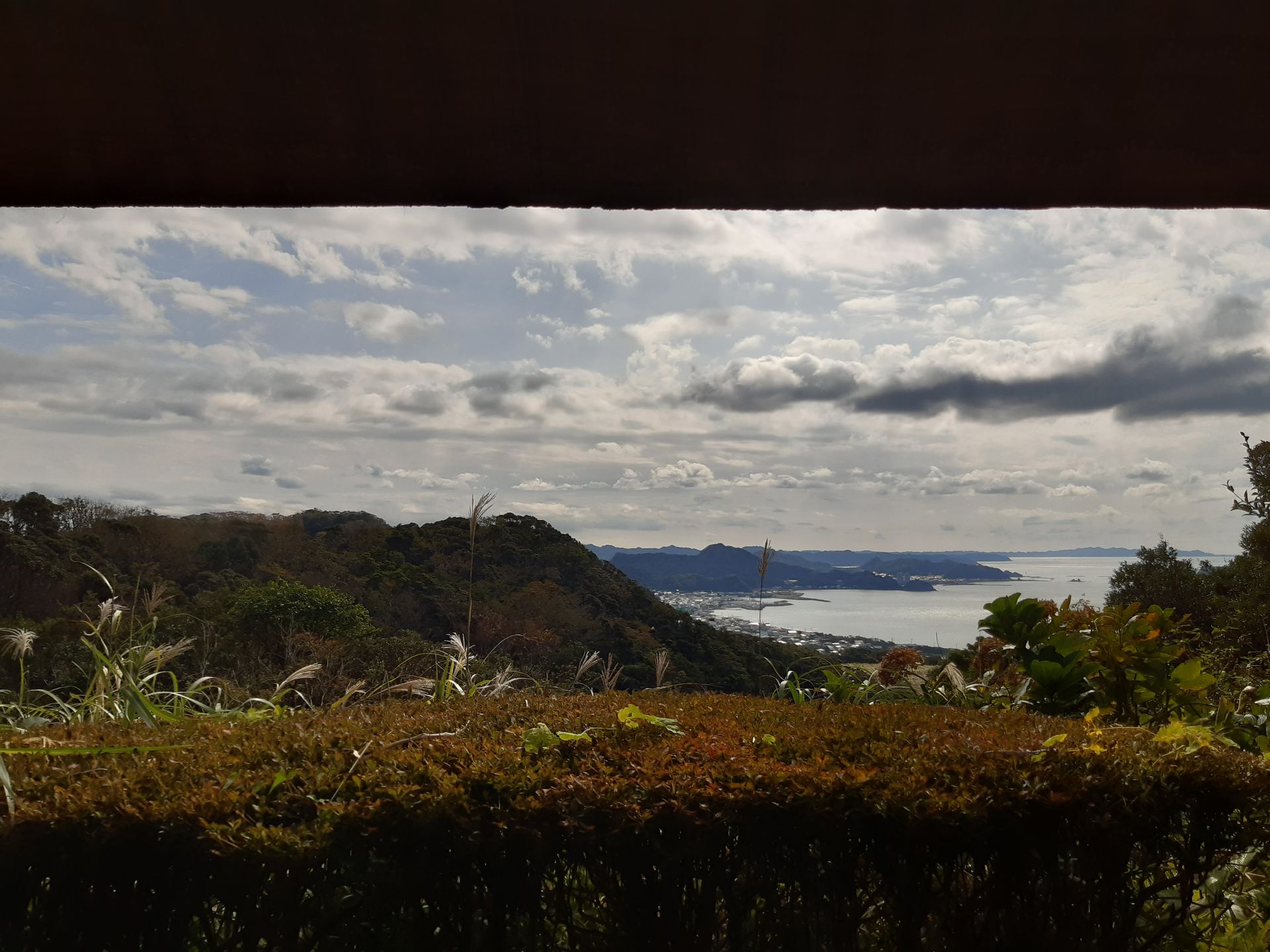
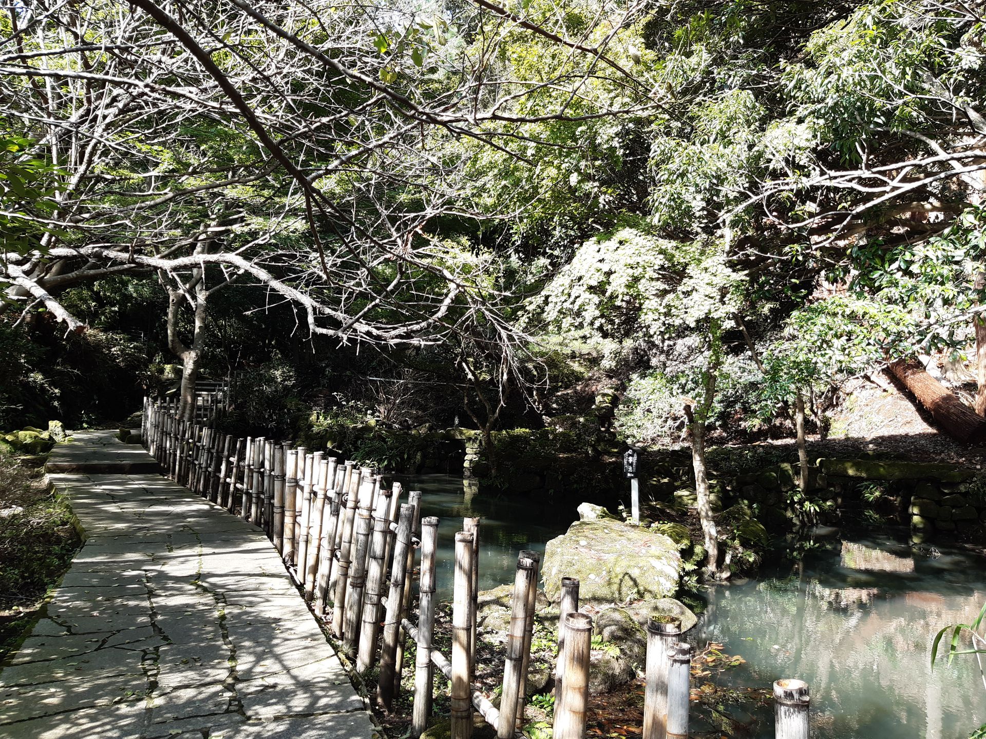
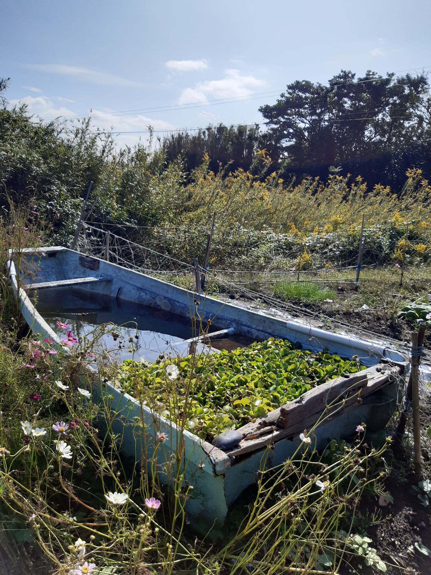
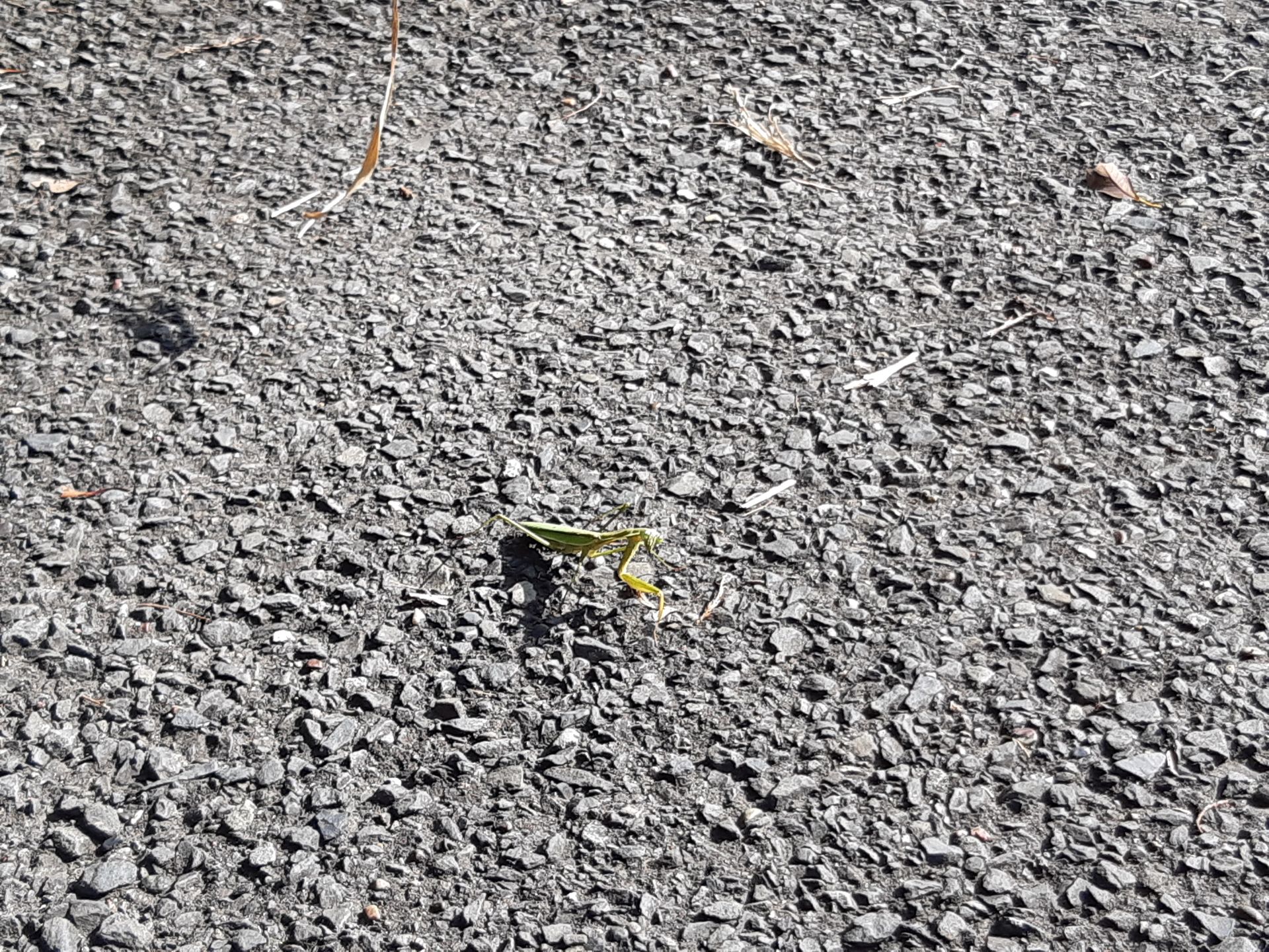
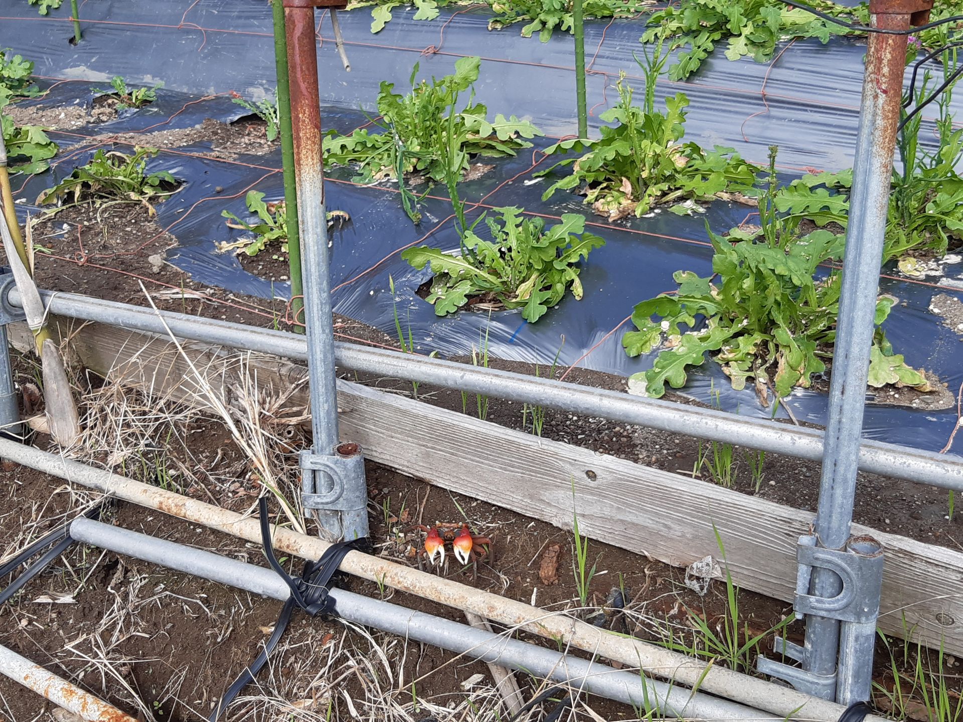
The path first led me through the temple grounds with beautifully designed paths and ponds, always downhill, and finally along rice and vegetable fields on small paths to the next sleepy town to the Hota Station. In contrast to the mountain complex, there was hardly anything going on here, and I only encountered 2 hikers and a father with his little daughter - but there were quite a few other creatures 🦗 🦀
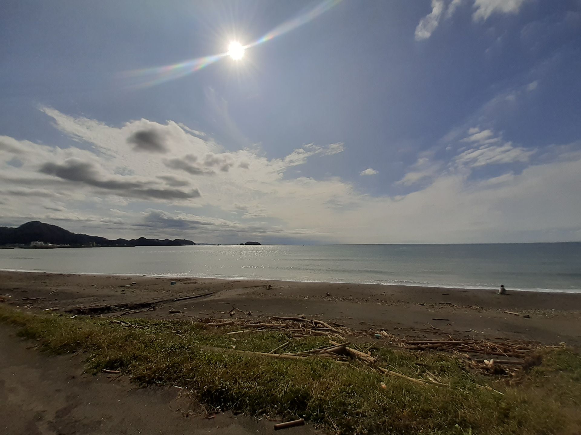
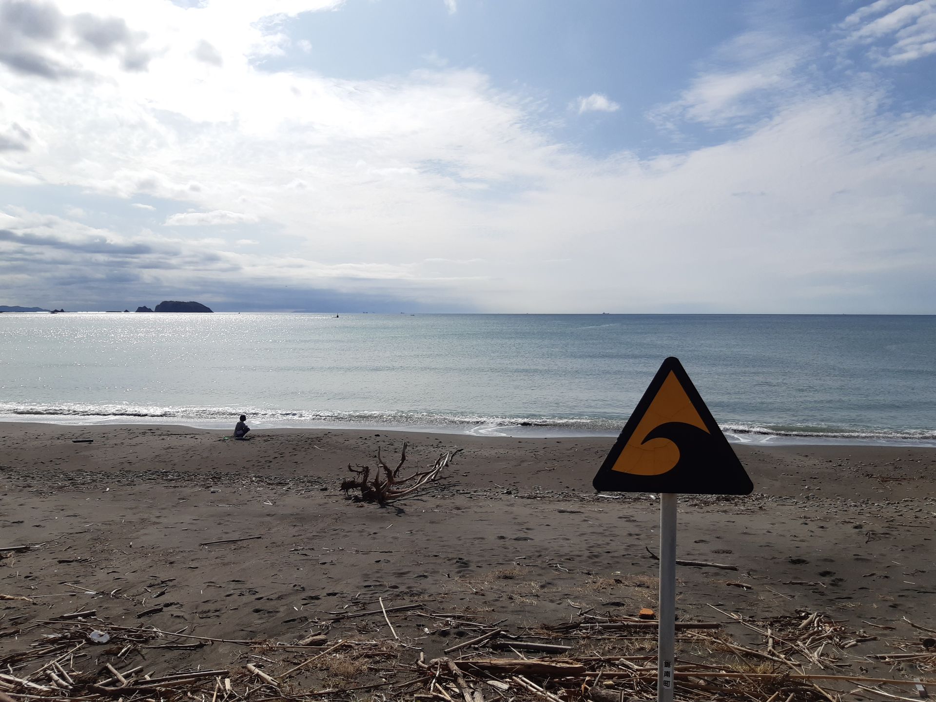
When I arrived at the train station, I saw that the next train would only depart in 45 minutes - for a change, it felt like a quiet, sunny Sunday afternoon at a train station in Brotterode or alternatively Fröttstädt 😉To avoid waiting meaninglessly at the abandoned train station, I took a detour to the beach because Google indicated that there was an onsen resort there. At the beach, there were still clear signs of the typhoon: quite a lot of washed-up stuff and sand that had been washed up beyond the shore road. I can't imagine what the calm sea in front of me must have looked like during the typhoon...
Unfortunately, the resort was also closed due to typhoon damage, and I arrived at the train station just in time to catch the train - and luckily didn't have to wait an hour for the next one 😉
All in all, it was a nice trip where you can also see the more rural side of Japan - if you, like me, have time 😁
ຈອງຈົດຫມາຍຂ່າວ
ຄໍາຕອບ
ລາຍງານການເດີນທາງ ຍີ່ປຸ່ນ