
Great Walk: Routeburn Walk - Days 32 to 34
Verëffentlecht: 01.04.2018


Abonnéiert Iech op Newsletter
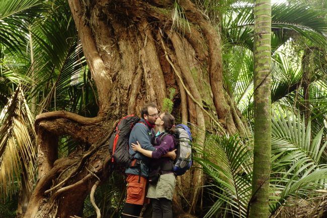
Our next and unfortunately last hike was supposed to take us through the Fiordland National Park in the southwest of the South Island, the largest national park in New Zealand and a World Heritage Site. We started from Te Anau, a town with about 2000 inhabitants and twice as many holiday beds, which is the center of the great hikes in the Fiordland: The Kepler, Milford and Routeburn Walks can be started from there.
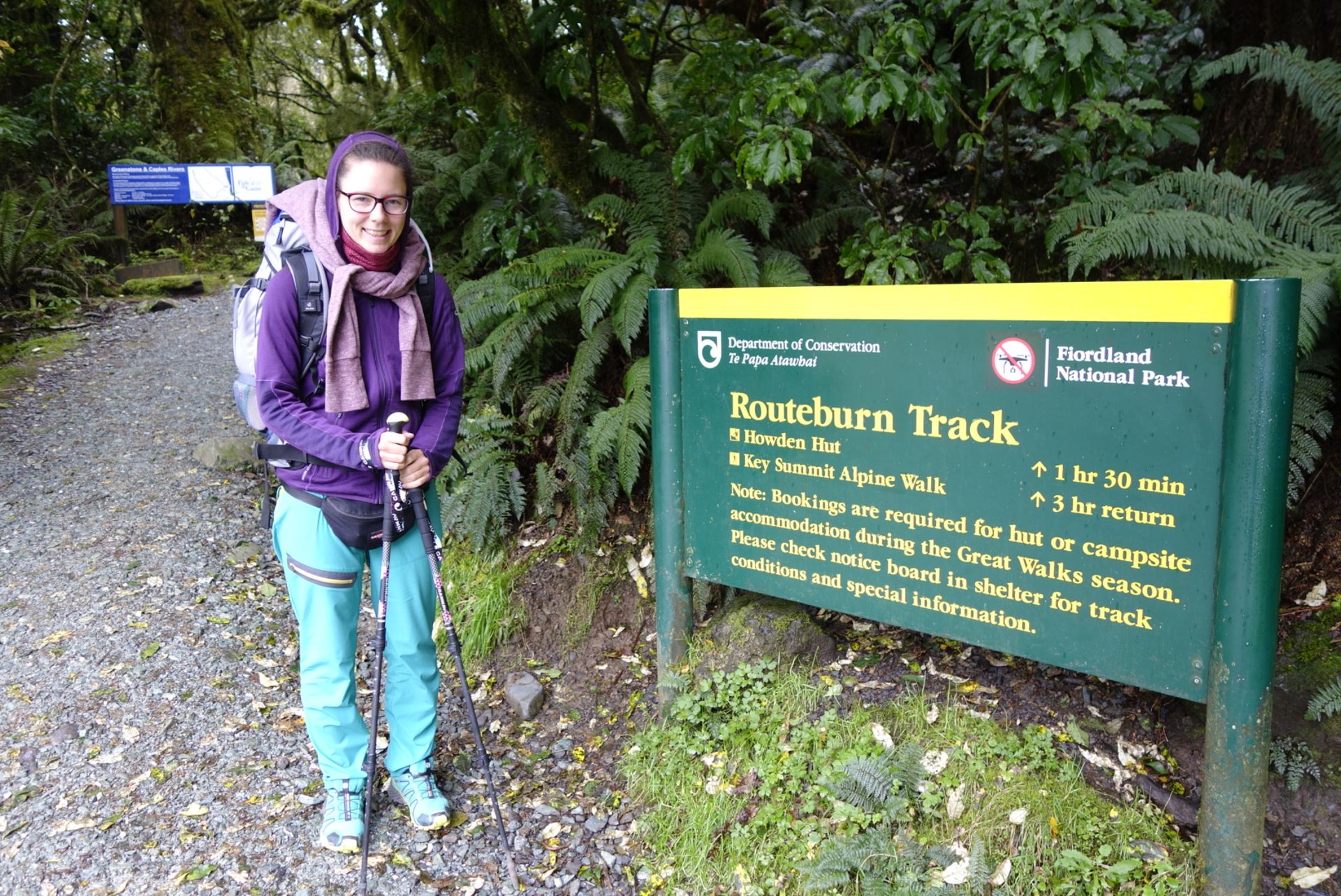
When we arrived in Te Anau, the weather was good and the forecast confirmed this for the next 2 days! So we had the perfect conditions for our last Great Walk, the Routeburn hike. This track is known for its alpine character and is listed by the Lonely Planet as one of the top 10 tracks in the world. We started from 'The Divide', located at about 500 meters and about 1 hour away from Te Anau, starting at 13:30. We got there with the transfer from Tracknet from the DOC Center in Te Anau.
Right from the start, it went uphill! Fortunately, the previous hikes and bike tours had strengthened us. We also noticed the alpine character from the drop in temperature and the strength of the wind. Luckily, we had dressed a bit thicker! After 45 minutes, we came to the first junction, to the left was the Howden Hut and to the right was the summit ascent 'Key summit', which by the way had quite a lot of 'day tourists' on it; the trail was quite busy. And these people didn't greet very often, unlike the multi-day hikers, who occasionally stopped for a quick chat. At the Howden Hut, some young people were swimming in the nearby mountain lake, we felt a bit chilly at the thought of having to jump into the water :))) After passing the hut, we still had about 3 hours of hiking ahead of us to reach the Mackenzie See hut, our first overnight stay.
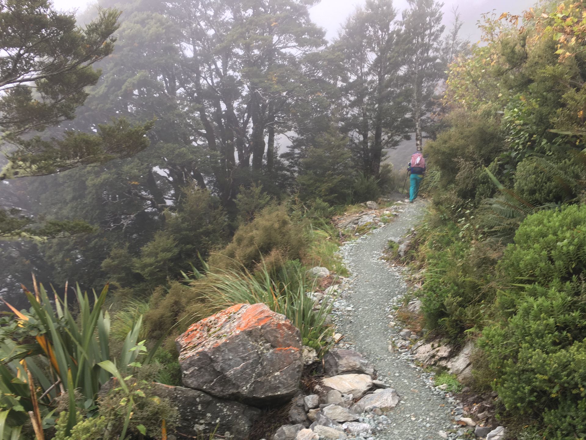
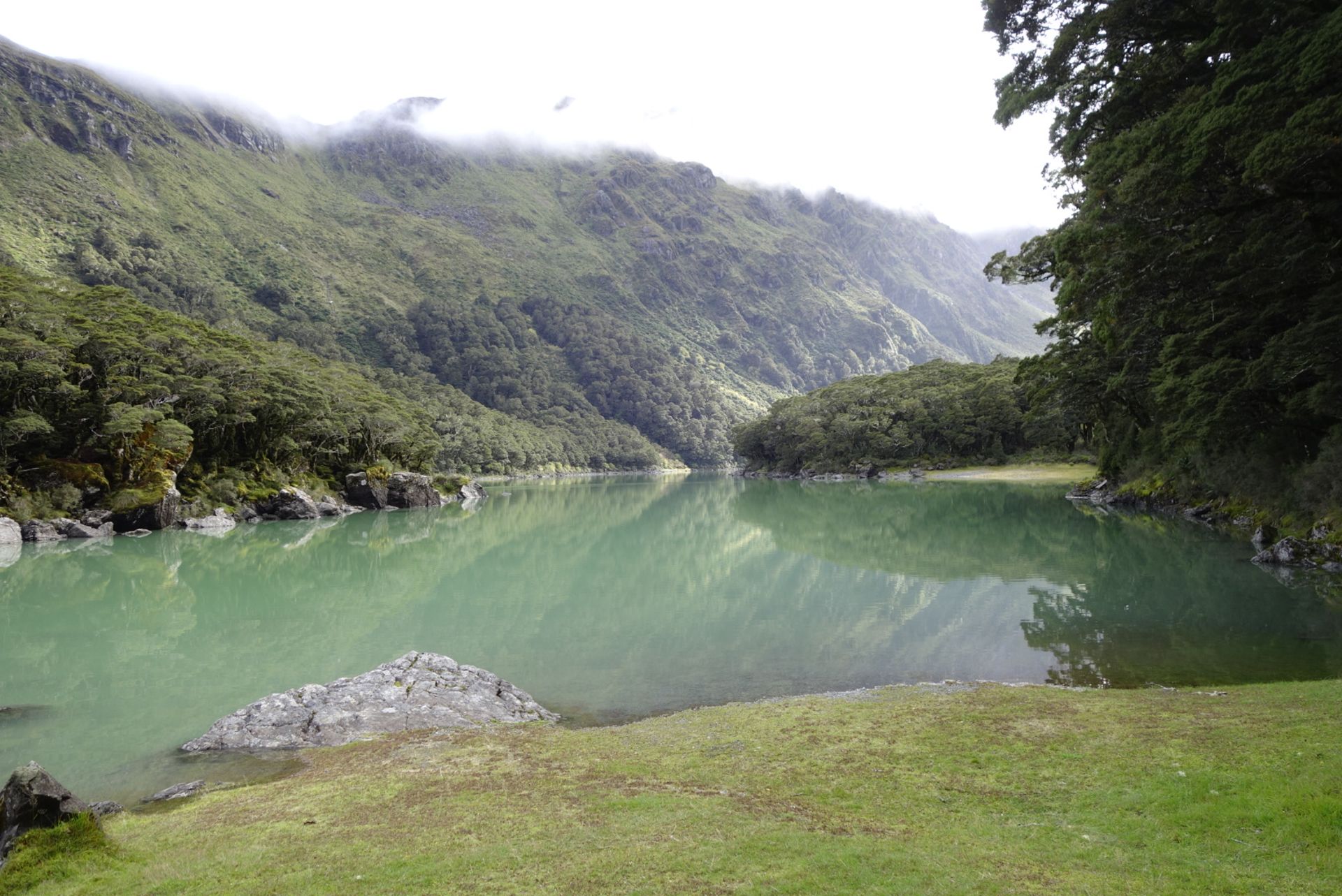
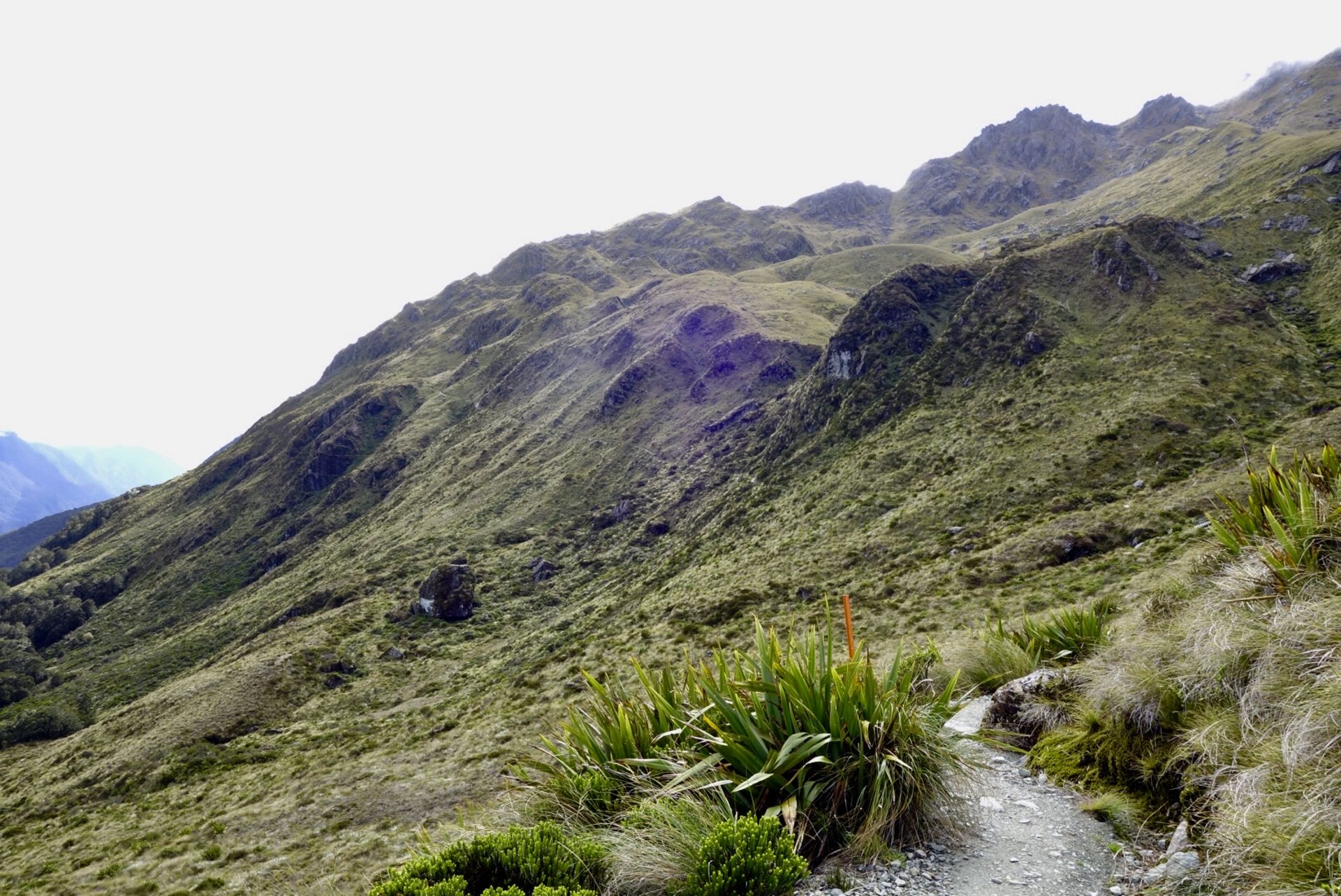
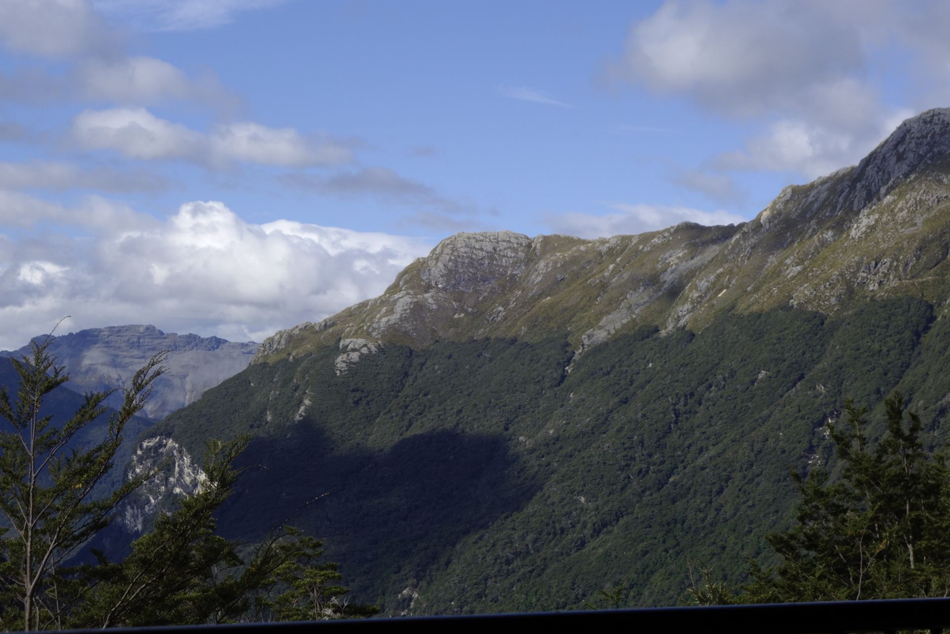
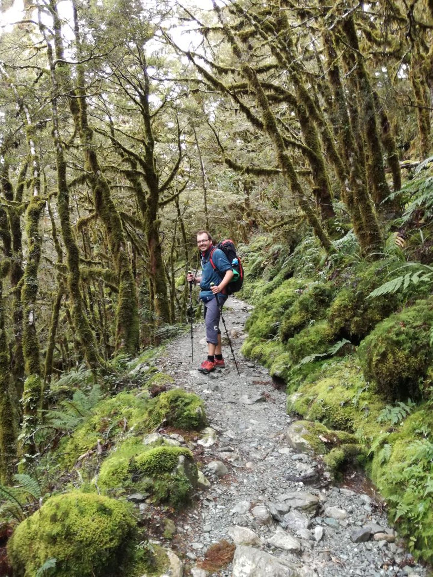
The path remained rough and rocky, at times it was wet and muddy, streams had to be crossed. Through the dense forest, we could occasionally catch a glimpse of the valley and admire the 2000m mountains on the opposite side, even though it was quite cloudy. And the trail became more challenging! At first, we thought that trekking poles were a good feature on the trail, but the stretch to Lake Mackenzie taught us: Proper trekking poles, designed for weight-bearing, that don't become half a meter shorter, would have been advantageous :))) Nevertheless, or maybe because of the challenging trail, we had fun and joy! After some time, we arrived at a waterfall (Earland falls) with a vertical drop of 174m, very impressive. We took a quick look around the corner and got completely wet :-)) So we decided not to take the normal path, but to take the detour for flooded paths. This wonderful detour had it all: climbing was required! After a total of 4 hours, we arrived at the enchanting Lake Mackenzie; first we passed the deluxe accommodations for guided tours, then the regular hut for independent hikers, and then after a 10-minute walk, the camping sites. Special mention: Top: The mountain lake at the camping site was great. Flop: We had a visit from a mouse during the night. It had nibbled on Jörg's backpack (with the food)... Luckily, it hadn't managed to get inside, even though the backpack opening wasn't 100% closed.
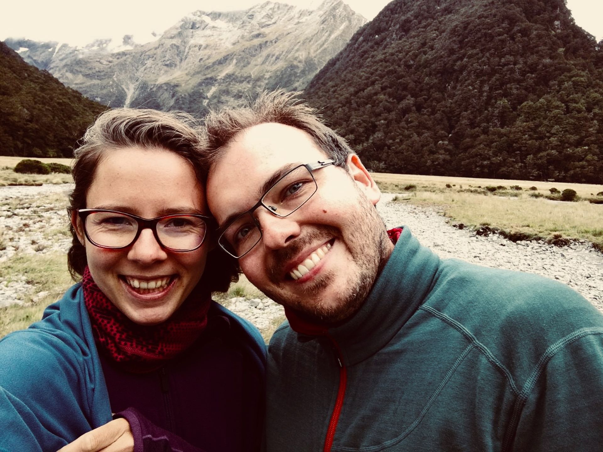
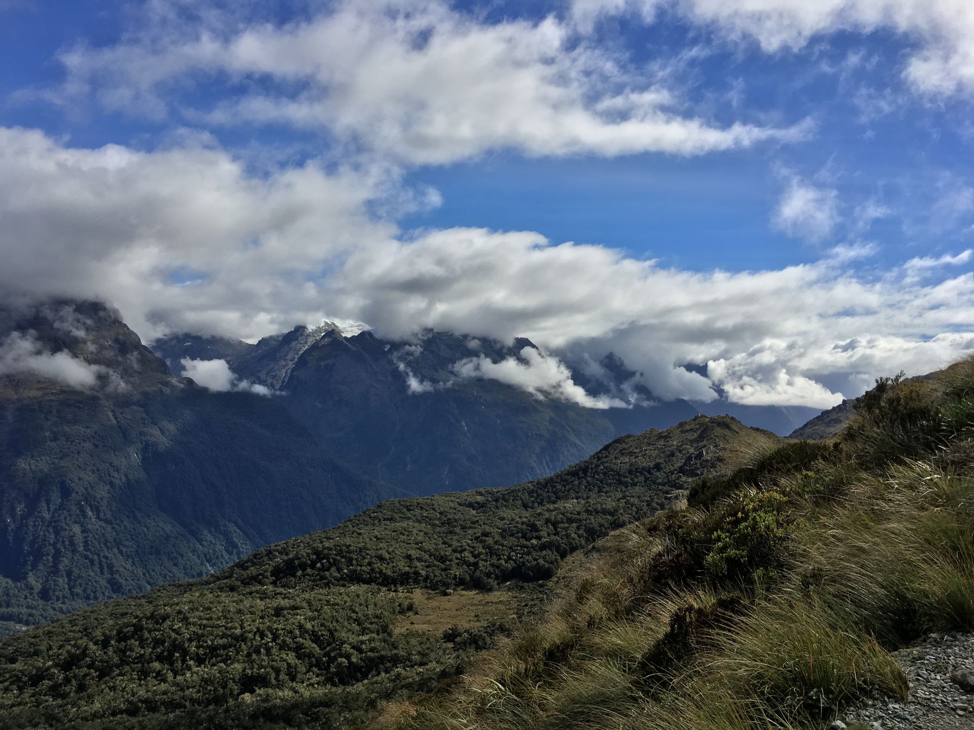
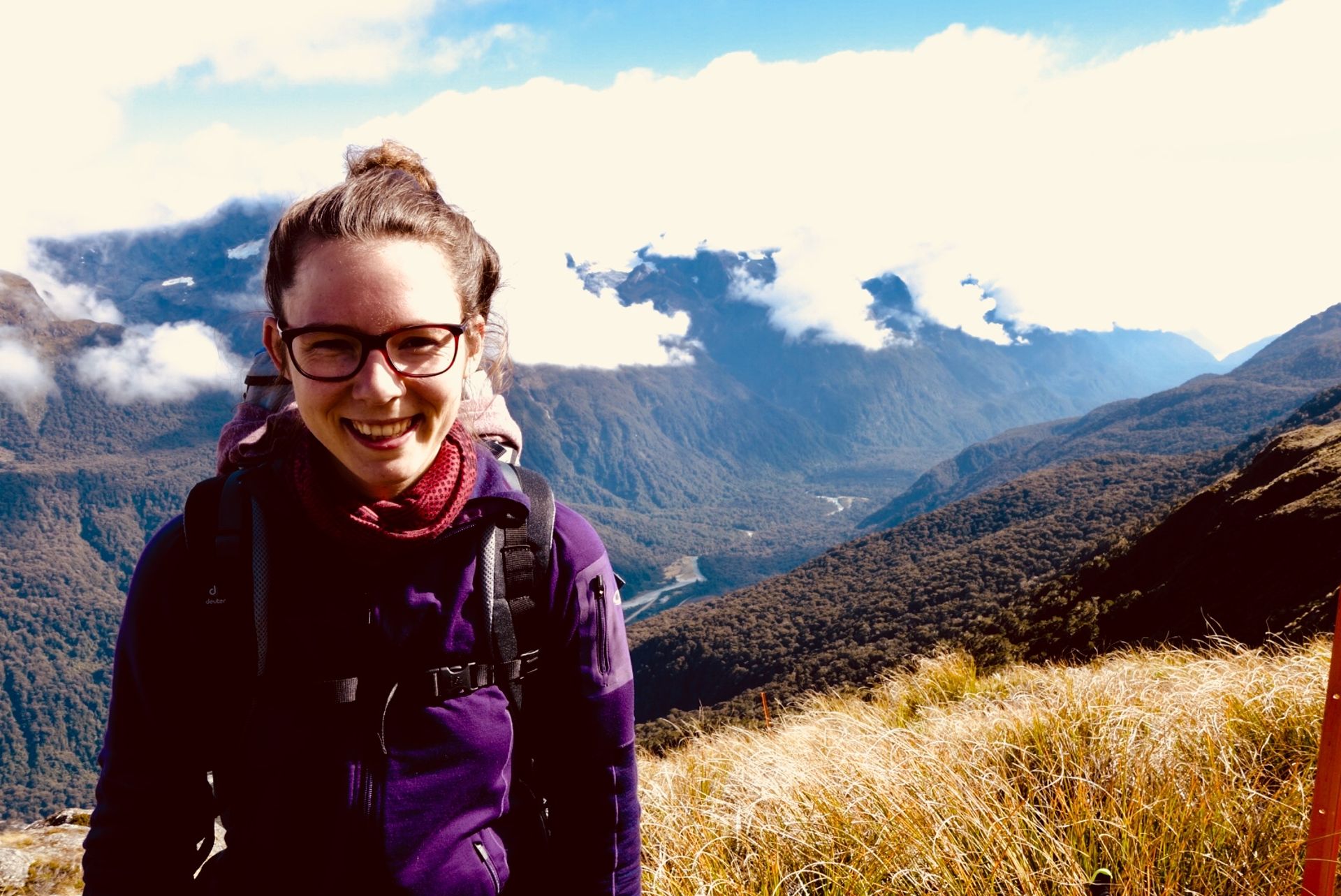
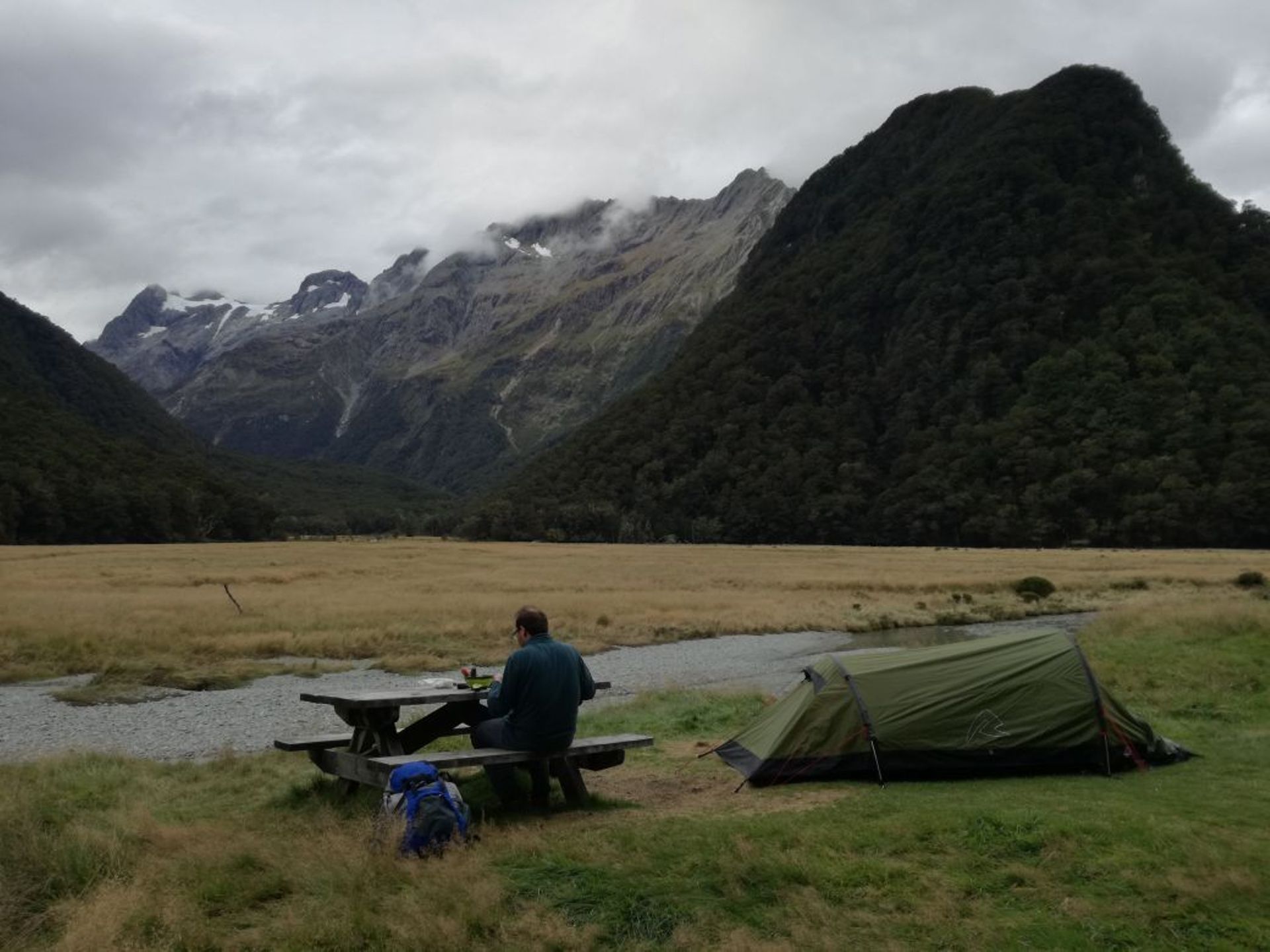
The next morning, we had to conquer about 300 meters of altitude right at the beginning. When we reached the top, we had a fantastic view over the valley and the other mountains. This hike was already worth it for that view!! The weather was relatively sunny or there were no clouds stuck on our mountain :))) We walked along narrow paths and above the tree line (about 1200m) we let ourselves be enchanted by the amazing views. We took a break at the highest point, the Harris Saddle Hut, 1255m. On the way, a jogger overtook us, who had apparently run the entire Routeburn Track in one day. The information we found out later: There is an annual race on the track: The record for the 32 km is just under 3 hours... Somewhat demotivating when you consider that it took us a total of 12 hours for the Routeburn Walk. After the Harris Saddle, we continued along the beautiful Lake Harris, downhill! There, surprisingly, we met the couple from New York, whom we had also met at Torea Bay when we were waiting for the boat taxi (Queen Charlotte Track). We chatted a bit and were amazed by this coincidence!! After a short time, we arrived at the Routeburn Falls Hut, which was located near some smaller waterfalls. We refilled our water supplies and hiked for another hour to the Routeburn Flats Campsite. The view there was overwhelming. The camping sites were right next to a small stream, with mountains towering in the background and the sunset atmosphere was romantic :))
On 30th March, the 34th day of our New Zealand journey, we set off for the Routeburn Shelter just before 8 a.m., as we were already going to be picked up at 10 a.m. After a little over 1.5 hours, we arrived there, enjoying the forest atmosphere along the way and being glad we had chosen this hike. A bit exhausted, we sat in the sprinter, and the driver had a heavy foot on the gas pedal... We stopped in Glenorchy for a half-hour break. Since we hadn't had a proper breakfast yet, we made up for it there, at 'The Trading Post'. A really good little store, go there if you're in the area! We arrived in Queenstown at around 11:30 and, thanks to the speedy driving style, we had about 5 hours to explore the city.
Queenstown is located in a valley, right on Lake Wakatipu. The sun was shining, there was a market on the harbor promenade. Many people were there (also because of Easter), and there was a festive atmosphere on the beach. We strolled through the nearby garden area, enjoyed the weather and the autumn vegetation that was already starting, and treated ourselves after the hike :)))
Abonnéiert Iech op Newsletter
Äntwert