
Tongariro Crossing
Published: 02.04.2017


Subscribe ut Newsletter
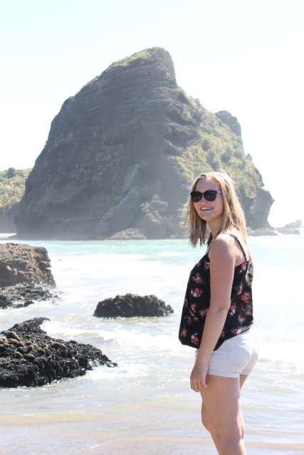
After spending several weekends in Auckland, the weather was finally good enough for the Tongariro Crossing. Sarah and I headed towards Tongariro National Park on Friday evening (31.03.). It's located in the middle of the North Island and is very well-known, partly because of Mount Doom (Death Mountain from Lord of the Rings) which is located there. It is also the oldest national park in New Zealand and a UNESCO World Heritage site.
On Saturday morning, we checked out of our hostel and drove to the national park. Like almost everyone else, we parked our car at the endpoint and to avoid both of us paying for the shuttle from there to the starting point, Sarah dropped me off at the starting point and then took the shuttle alone from the endpoint to the starting point. Unfortunately, we were running a bit late and she had to take the shuttle an hour later than planned, so we didn't start hiking until around 9 am.
The first 1.5 kilometers were easy and not particularly strenuous. But then we reached the steep part of the hike, which was really incredibly exhausting and seemed never-ending. However, that wasn't the worst part, as we thought. After a long lunch break, we came across a sign that said 'Are you sure you want to continue? Are you fit enough?...' After that, it became really steep and we encountered the so-called 'Devil's stairs'. They were so difficult that we really felt like we were about to die. But it's definitely worth it for the view that awaits you at the top! This dreadful part took about two hours, if not longer.
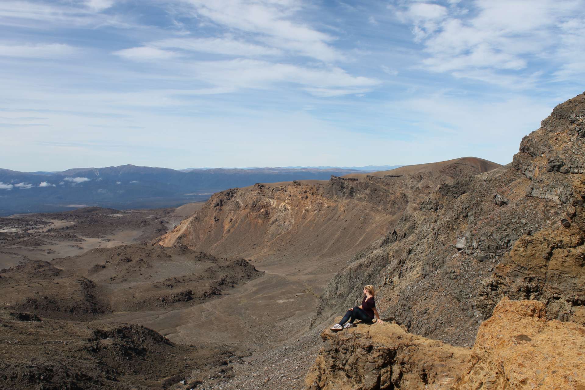
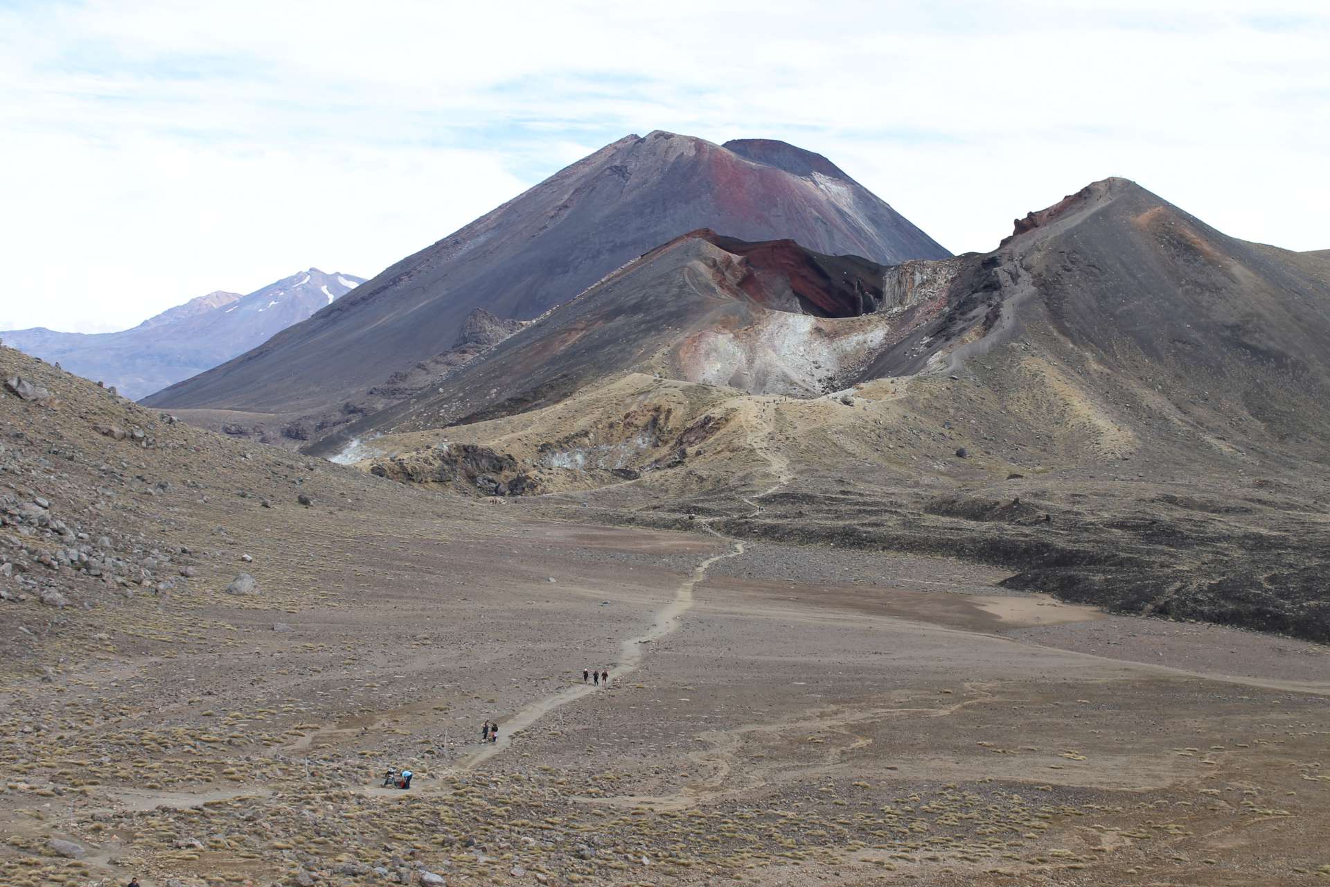
The landscape at the beginning was like being in the mountains and when we were almost at the top, it felt like we were on Mars. But both were really beautiful!
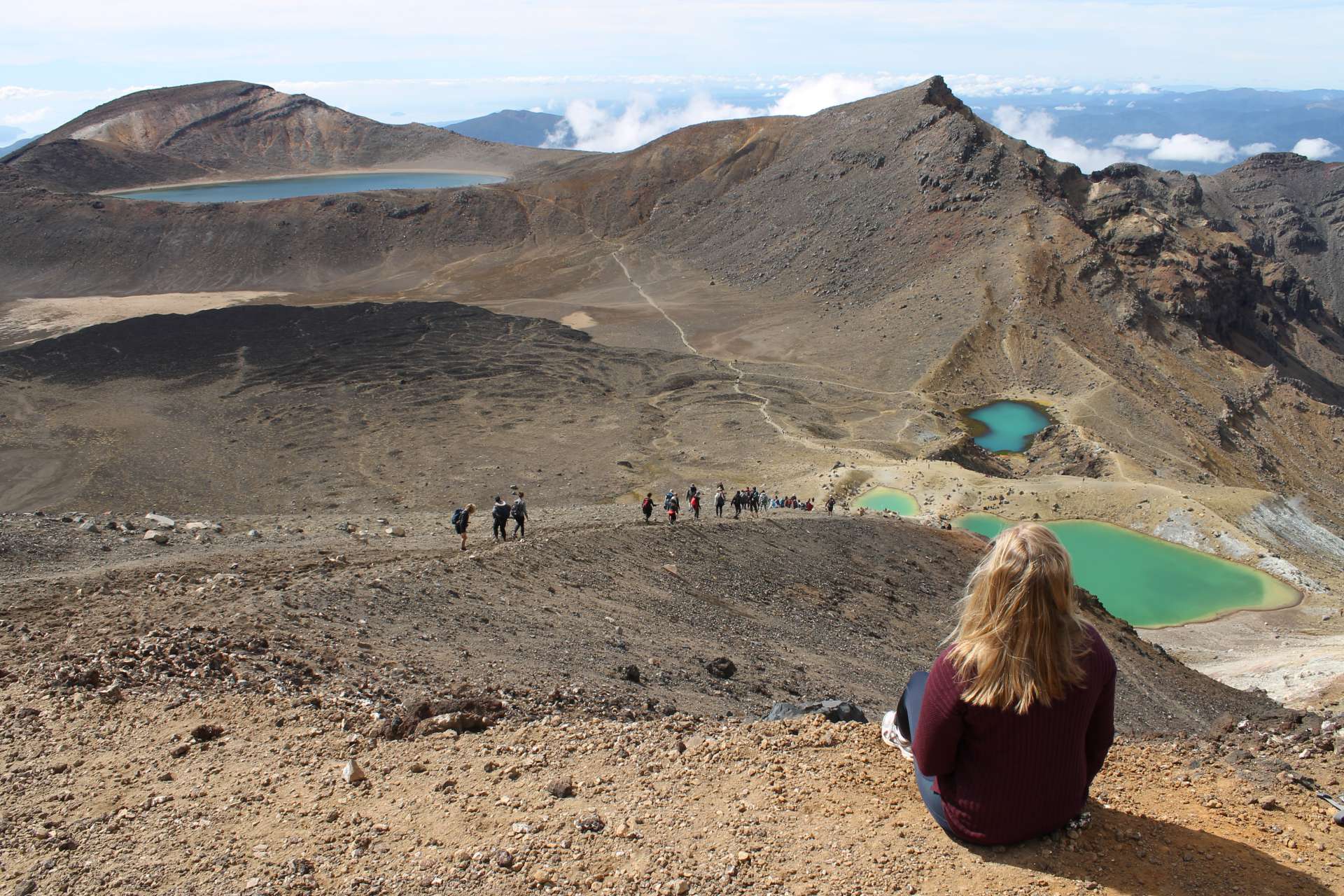
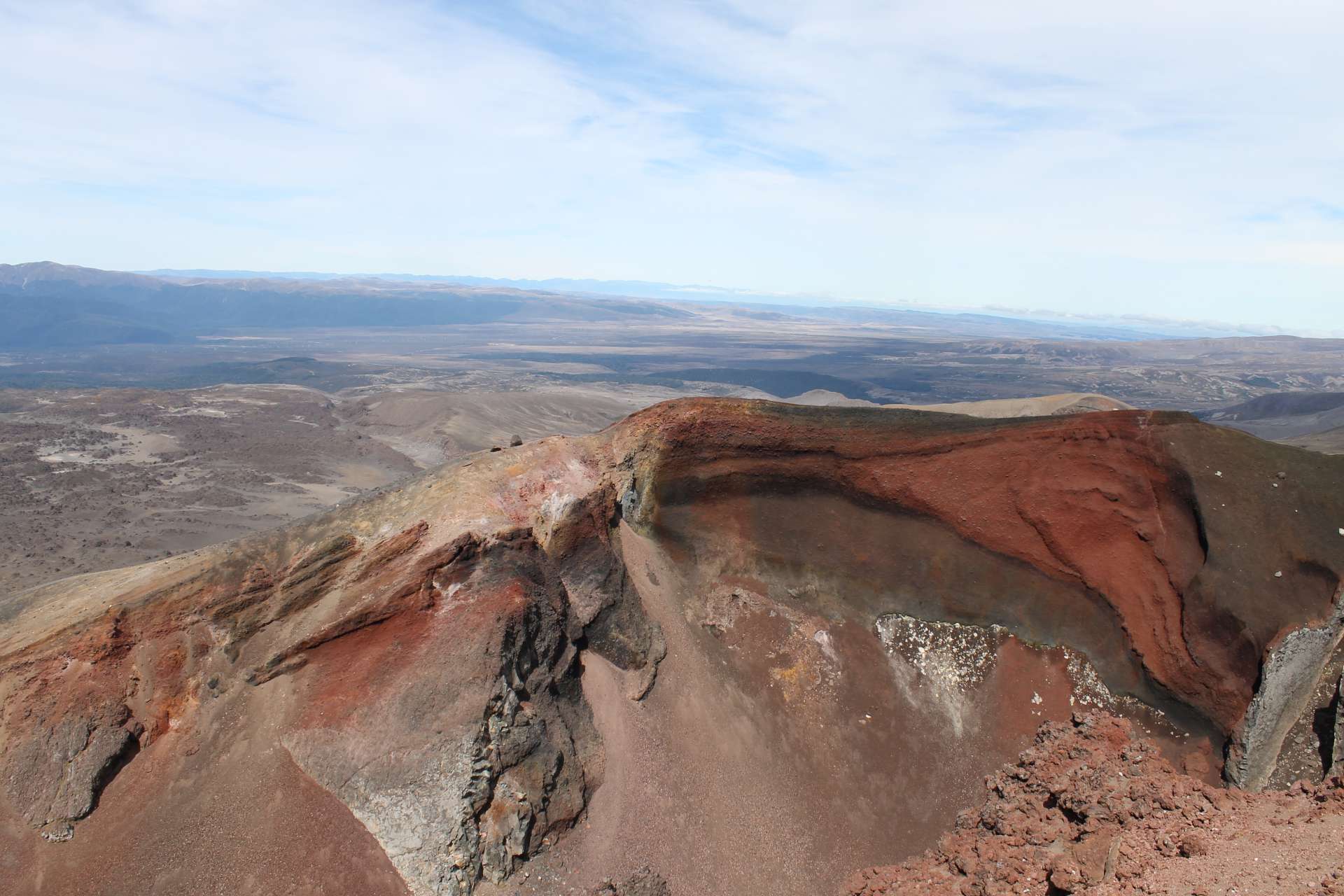
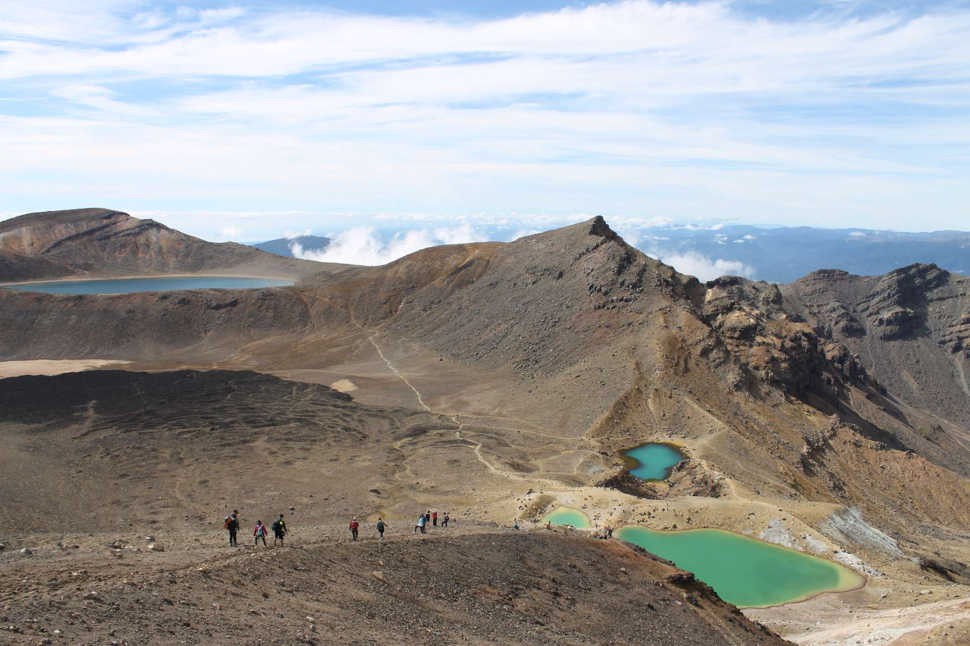
When we were almost at the top, we had the opportunity to climb Mount Ngauruhoe (Mount Doom - Death Mountain from Lord of the Rings). However, we decided against it because it would have taken another four hours and it's so steep that you can't even walk upright but have to crawl on all fours. So we continued on the normal path towards Emerald Lakes. Finally, when we reached the top, we could finally see the famous blue lakes. The view from up there was definitely worth it! Besides the Emerald Lakes, we could also see the Red Crater from above - it really felt like being on Mars.
Since Tongariro National Park is mainly made up of volcanic mountains, the Emerald Lakes have a high sulfur content (which is why you should never swim in them or even touch the water), and they smell similar to Rotorua.
Once we reached the summit, we had to find a way down on the other side. However, there was no real path, only scree that was very slippery, which made me fall a few times :-D Now I have a huge bruise and scratches on my butt :-(
After the Emerald Lakes, we reached Blue Lake where we took another break. By that point, we had already been on the trail for almost 5 hours but hadn't even completed half of the kilometers. The rest of the hike took us through the mountains and then through the forest. We needed about 4 more hours for the remaining 11 kilometers. It was less time than for the first 9 kilometers since it was much more enjoyable to walk and mostly downhill.
The Tongariro Crossing was definitely worth it, but it was also very exhausting! In any case, I'm proud of us for completing the 20-kilometer hike :-) However, I still have extreme muscle soreness... :-D
Subscribe ut Newsletter
Answer