

Төмөнкү Татрада 3190 метр бийиктикте
Жарыяланган: 04.08.2023


Бюллетенге жазылыңыз
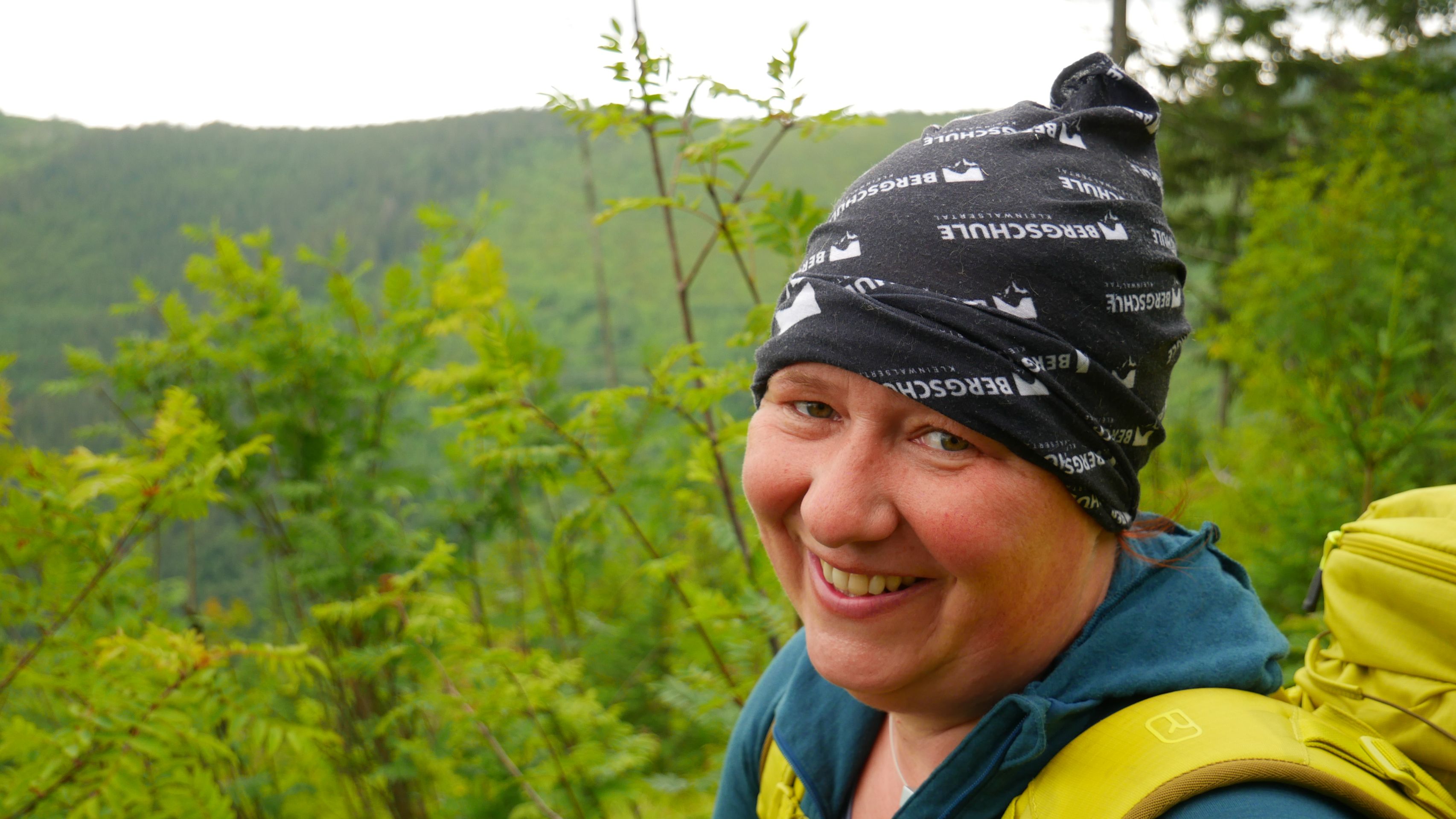
After city life in Brno, we went back into nature, this time with family visiting from home. Together, we drove to Liptovský Ján at the foot of Ďumbier, the highest mountain in the Low Tatras. We had planned a four-day tour along the ridge path: 71km and 3,190m of altitude, with the highest point on the last day at Kráľova hoľa, at an altitude of 1946m. Fortunately, we were able to leave some things in the valley in the parents' motorhome, reducing the weight. Even without all our belongings, we were simply happy at the end of each stage that we had made it and could snuggle into our sleeping bags.
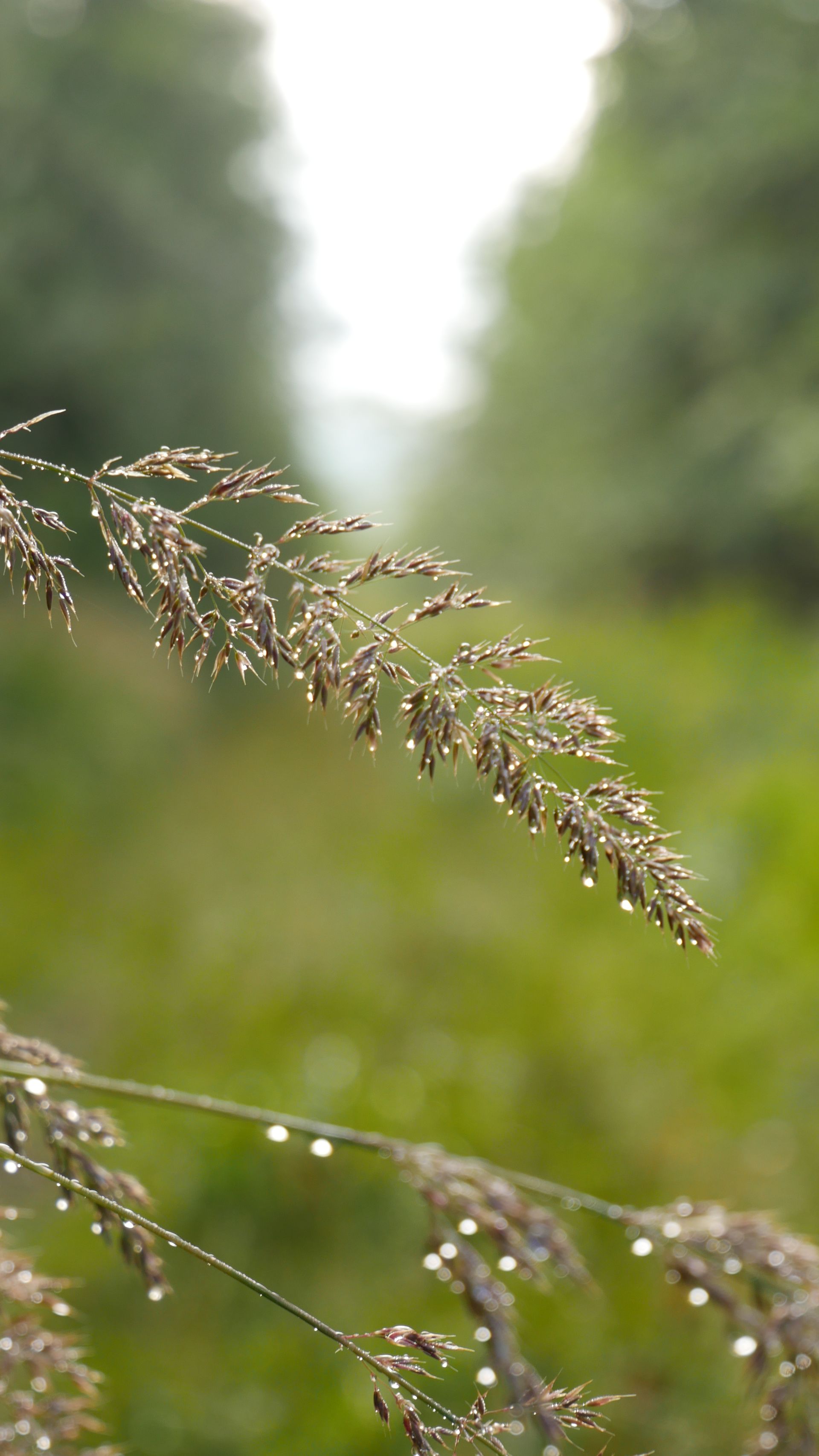
The ridge path promised four days of pure nature in all its facets: sunshine, rain, storm, or fog - luckily, we were spared snow, although the temperature occasionally hovered just above freezing.
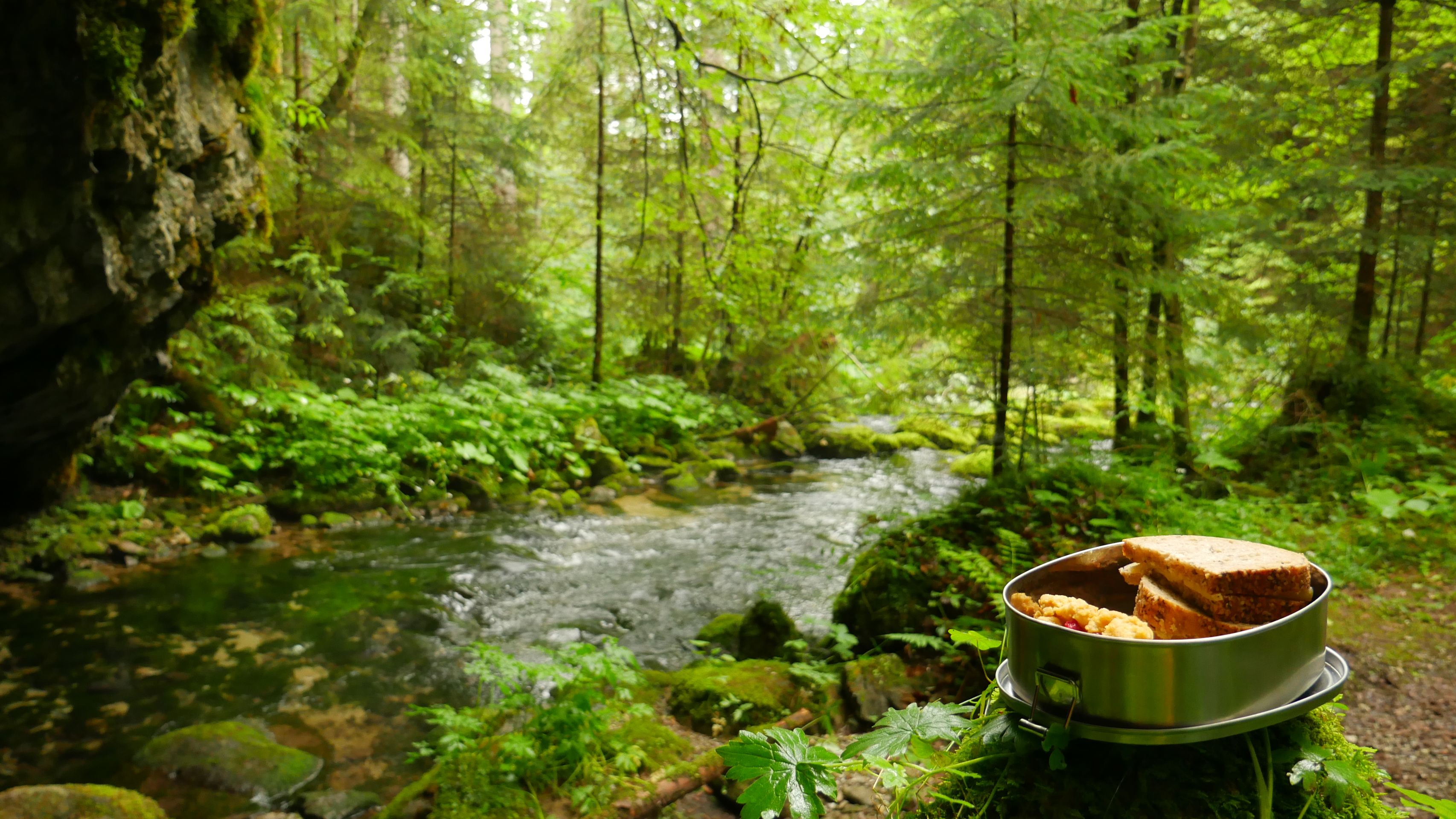
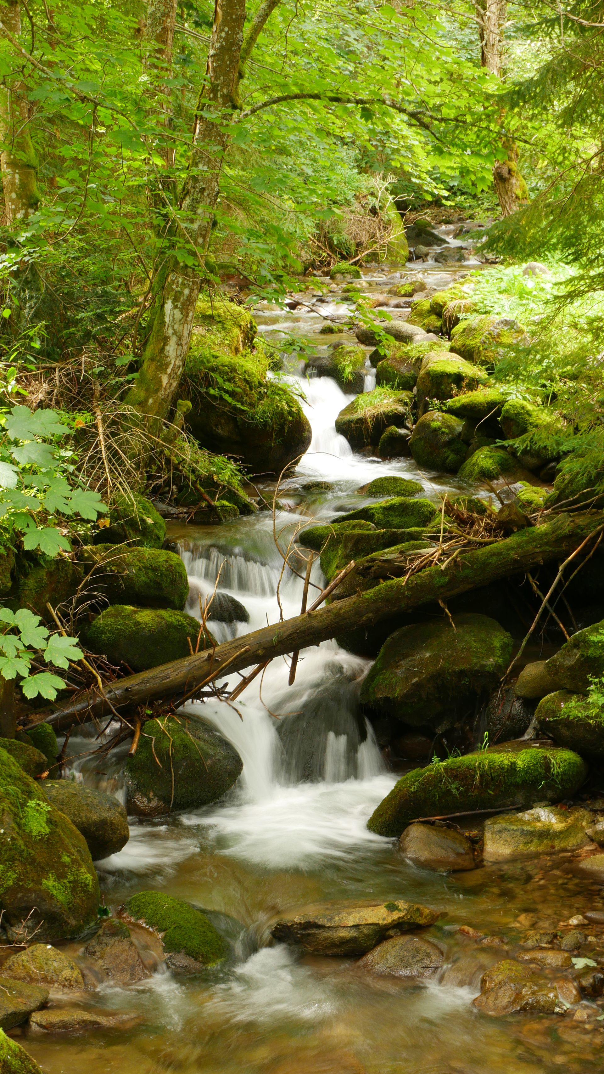
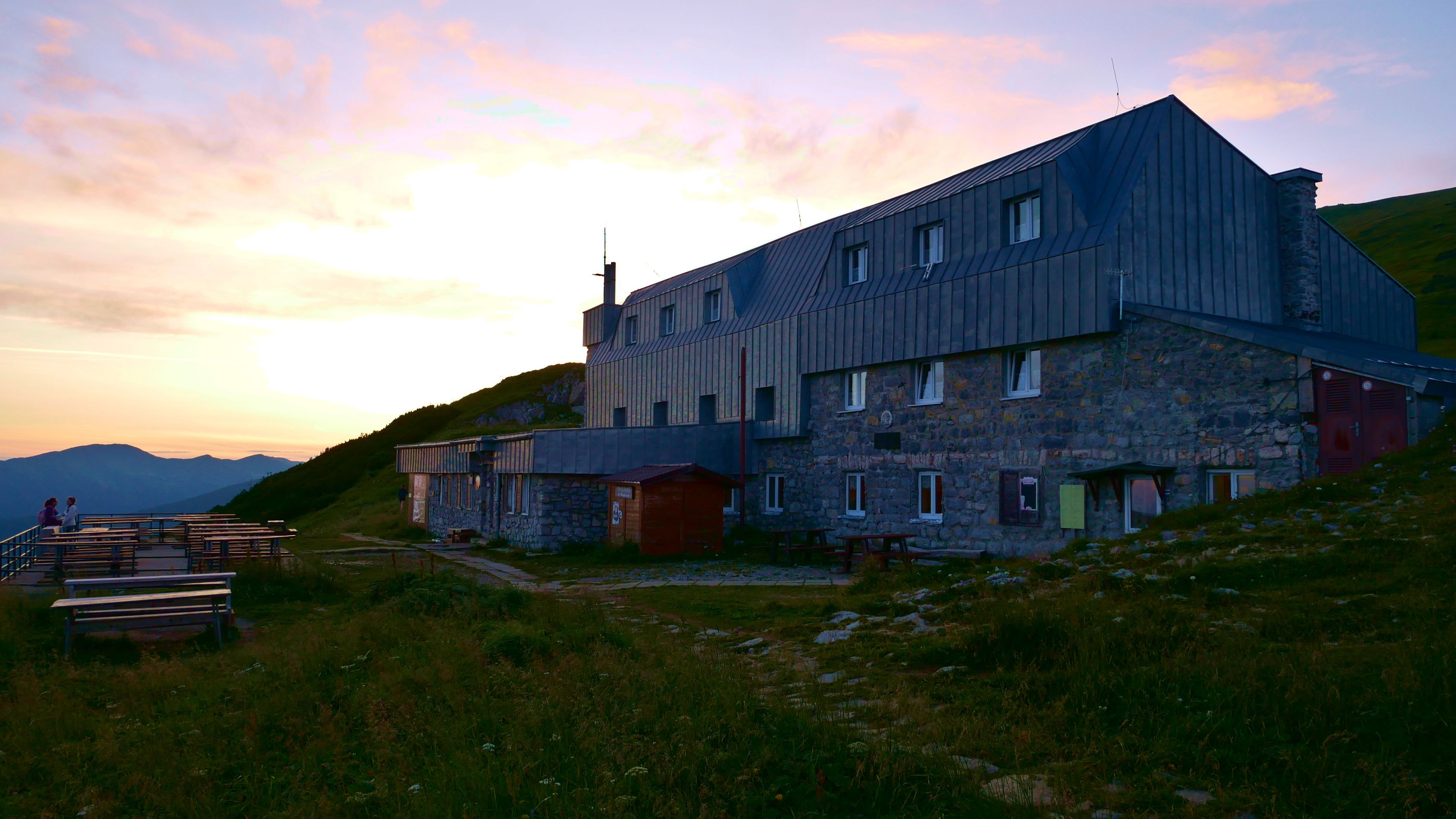
The first day took us from Liptovský Ján 1,120 meters straight up, first gently and always along a stream, and then steeply to Chata M. R. Štefánika below Ďumbier at over 1700m. As a reward, we not only had a spectacular view, but also goulash and the highest beer barrel in Slovakia, which is carried up by porters. Luckily, they don't have to climb so many meters when they bring 40 tons of food and materials to the cottage every year.
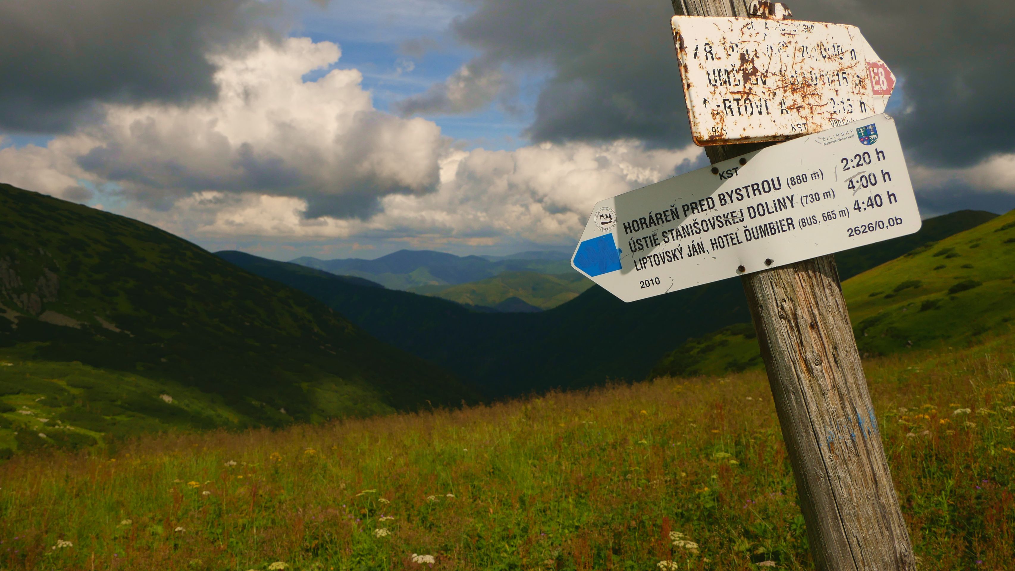
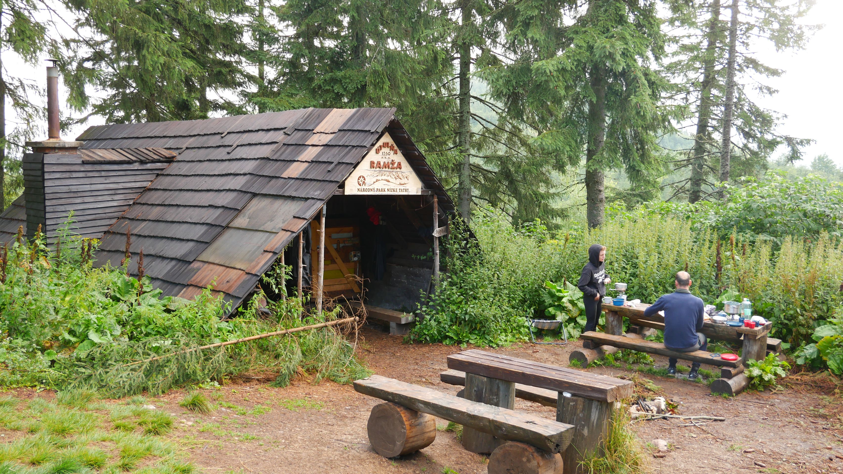
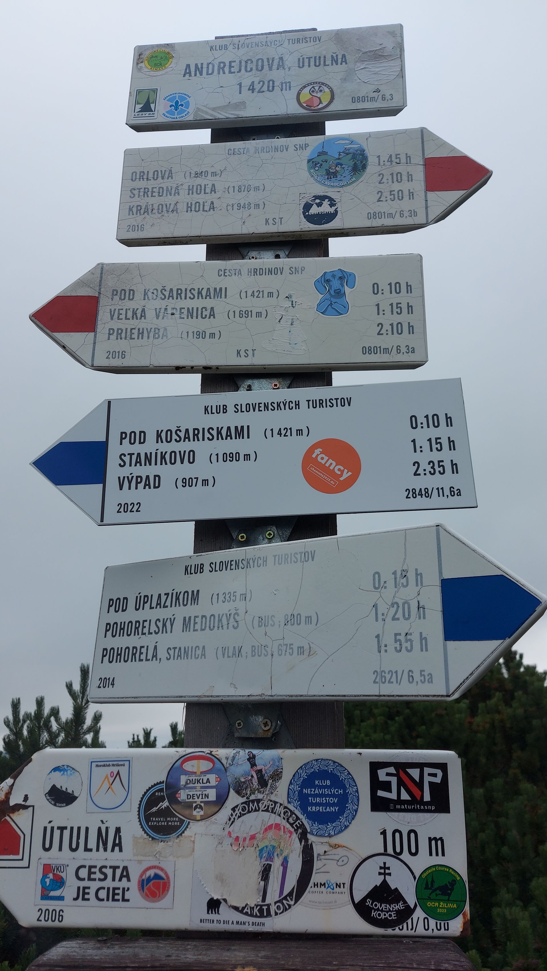
The second day was probably the most relaxed. From Chata M. R. Štefánika, the ridge path, also known as the Path of Heroes in Slovakia and part of the European long-distance path E8, leads east initially at 1800m straight up and then down to the mountain pass road to Čertovica, where we had a brief reunion with the parents. Kathleen also joined us here, conserving her energy and altitude. After a joint lunch, we continued for another two hours until we reached the emergency shelter Útulňa Ramža. Since we were the first hikers to arrive there, we had to collect firewood and heat the stove. We were also exceptionally lucky and arrived at the hut without getting wet. Shortly afterwards, the sky opened up and the hikers who arrived later were glad to warm up and dry off by the stove.
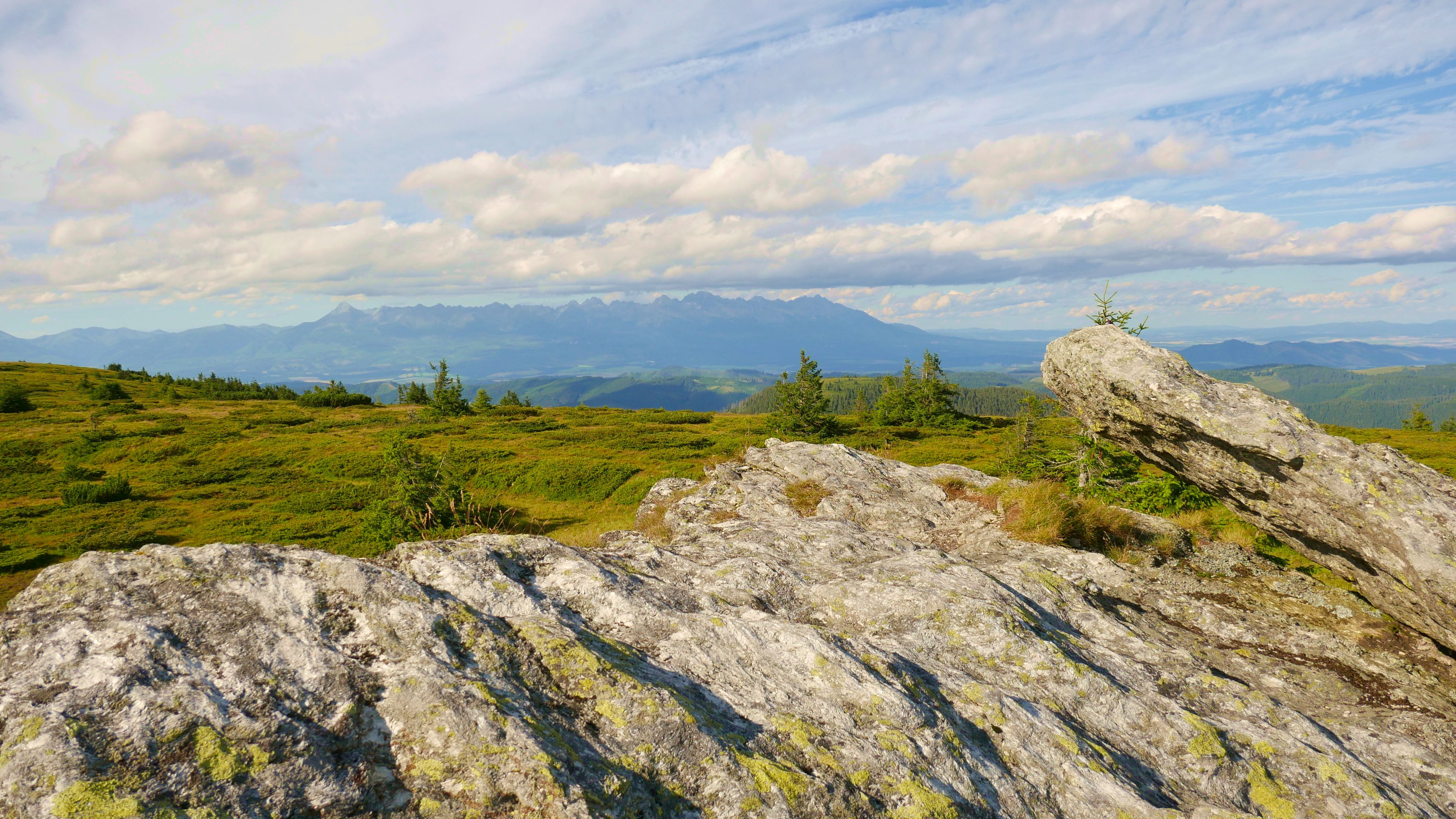
The next day, we faced the king stage: over 1,100m of altitude and a distance of over 20km. However, we had the best weather and constantly breathtaking views towards the High Tatras. Nevertheless, during the last ascent after about 15km from 1,255m to 1,730m, even the best view could not help much anymore. Instead, the prospect of a cool beer, a hearty stew, and of course a large piece of chocolate helped. All of this awaited us in Útulňa Andrejcová, a hut run by young people with great passion.
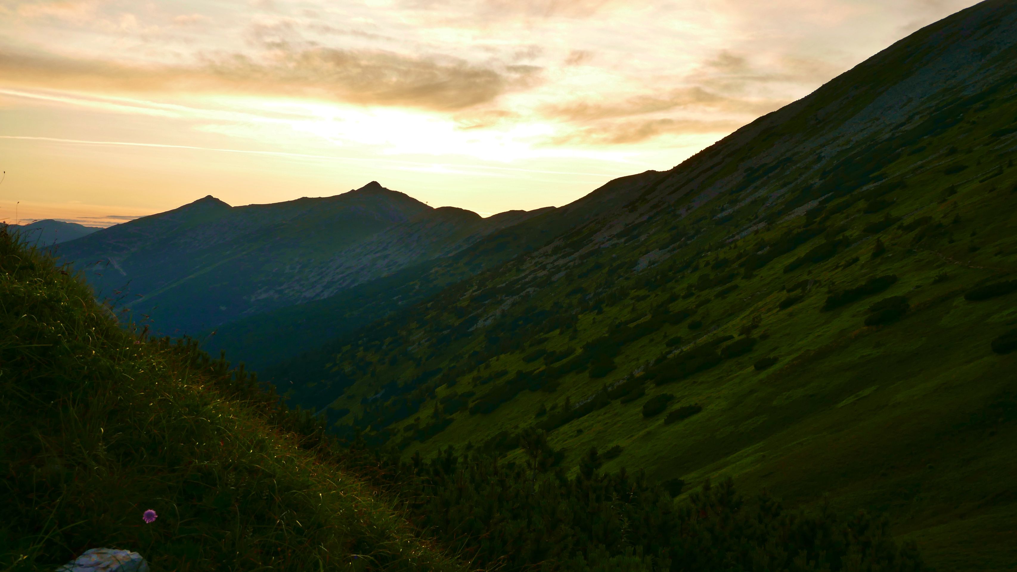
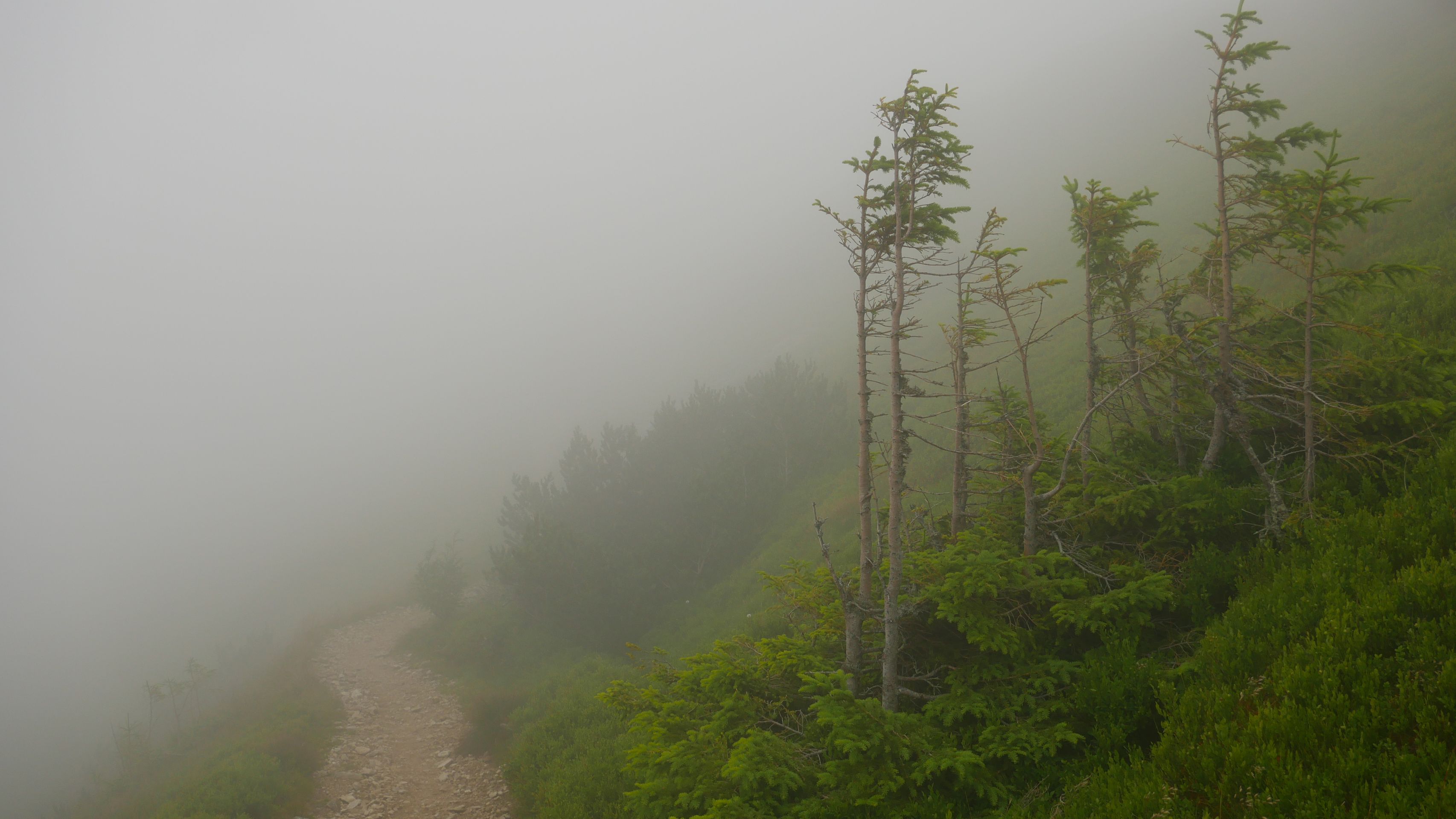
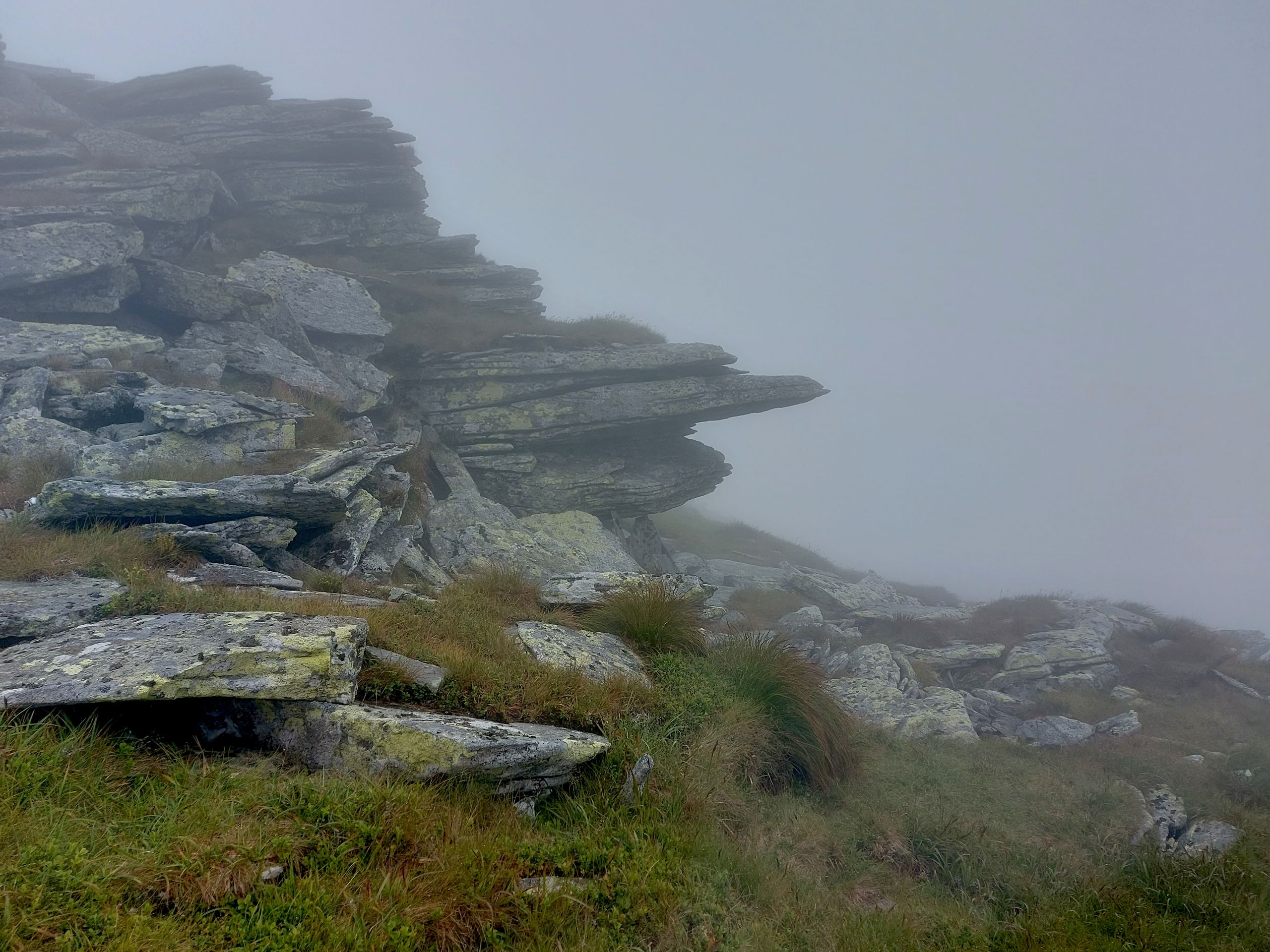
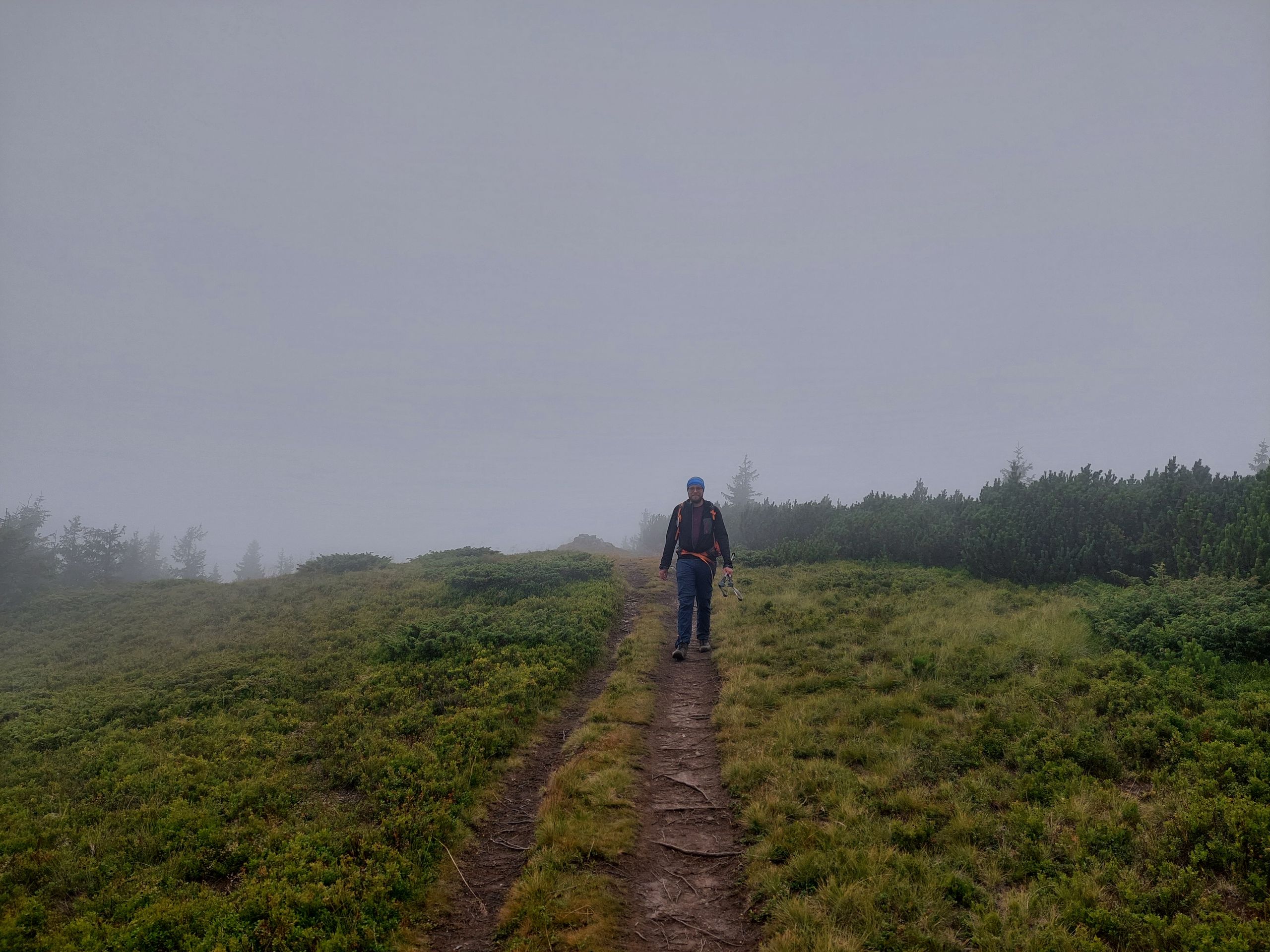
The last day required bravery once again. Shortly after setting off, we climbed into the cloud cover, accompanied by storms and occasional rain. Allegedly, from here we should have been able to see all the peaks we had climbed. We were glad if we could still see each other or the next trail marker. After three hours in the clouds, we finally reached the highest point of our tour at 1946m on Kráľova hoľa. However, it was too cold and windy to stay and there was not much to see anyway, which also led us to take the wrong path on the descent. It was all the more surprising that we encountered day trippers on the way down, who braved the ascent despite the bad weather and lack of views.
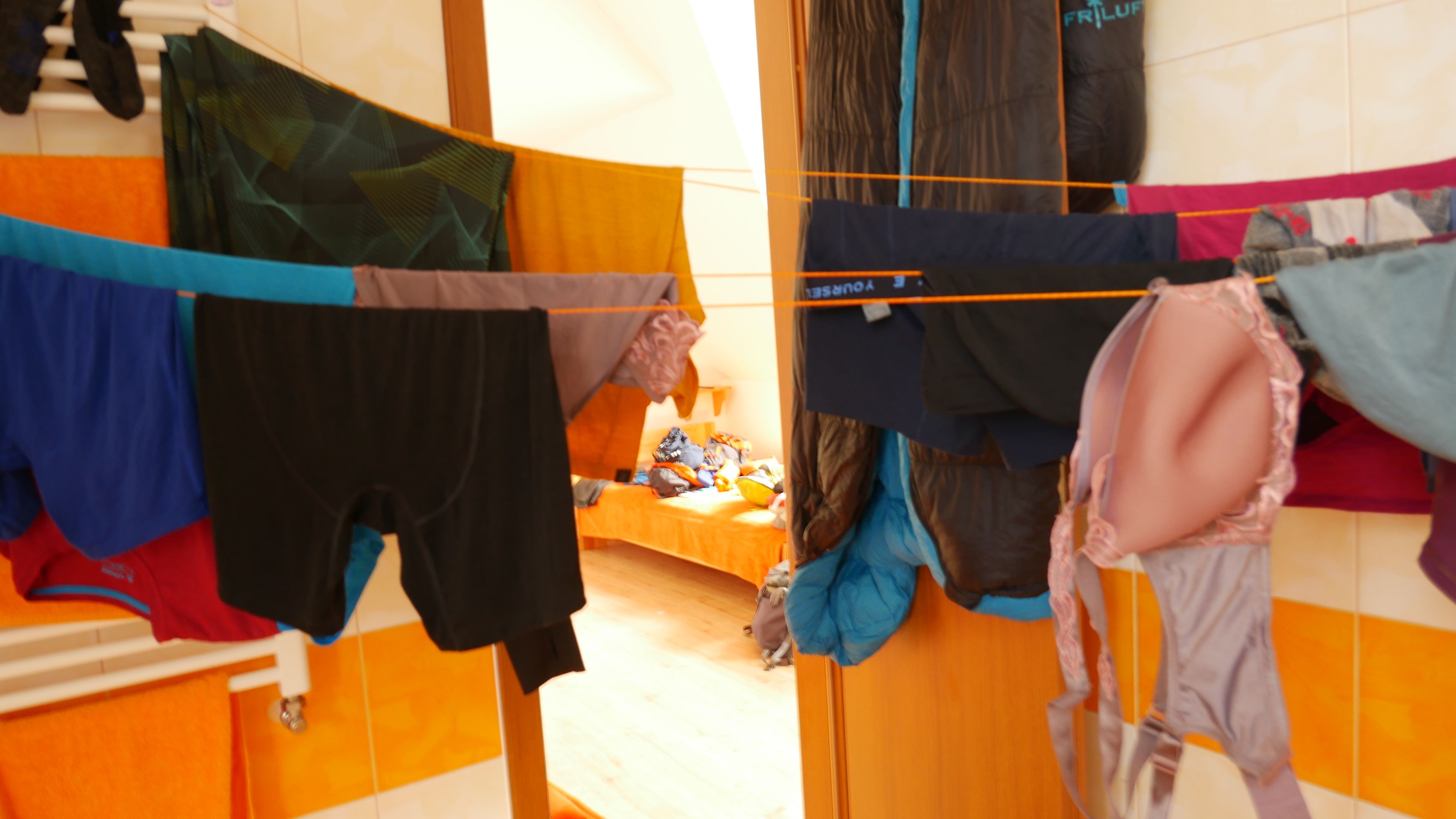
Extremely happy, but also exhausted, we finally arrived in Telgárt, where the parents' motorhome awaited us with delicious food. We should not forget about the abundance of blueberries that we found along the way and could not eat all of them. Now we need a break - especially our feet. After that, we say goodbye to our visitors and continue our journey to Košice by train.
Robert
Бюллетенге жазылыңыз
Жооп
Саякат баяндамалары Словакия