Member 5.3: Coverack - Porthallow - St Keverne
Жарияланды: 01.09.2023
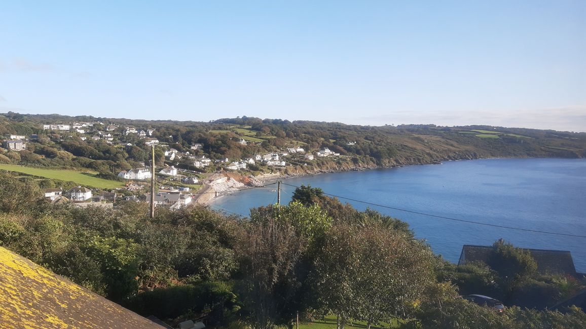
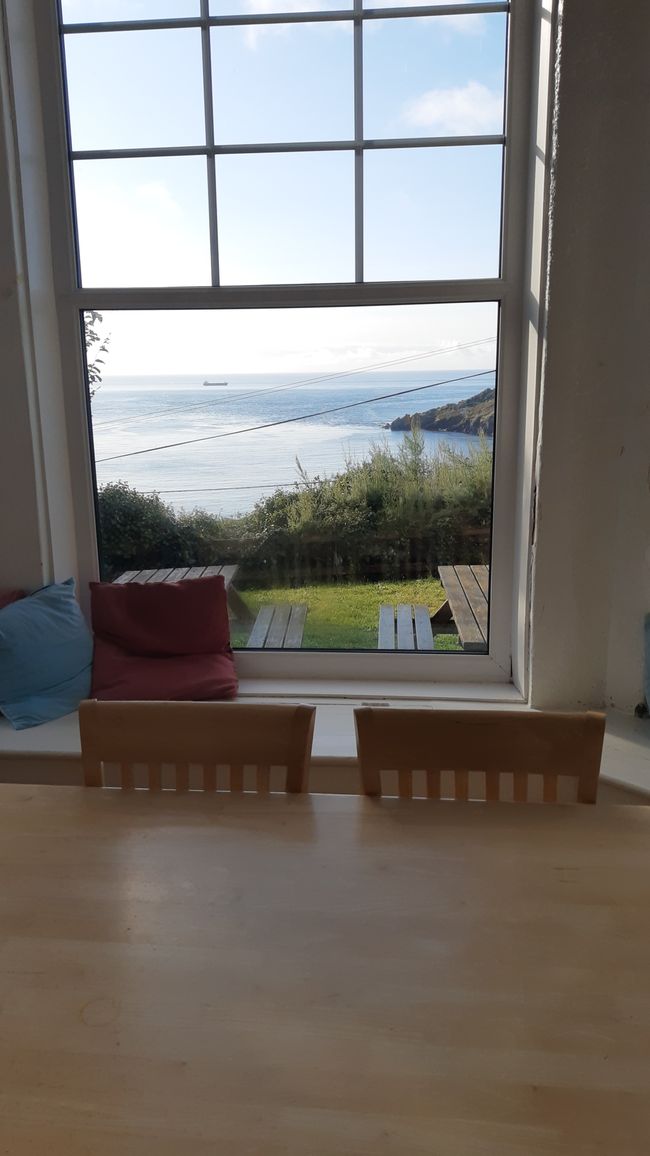
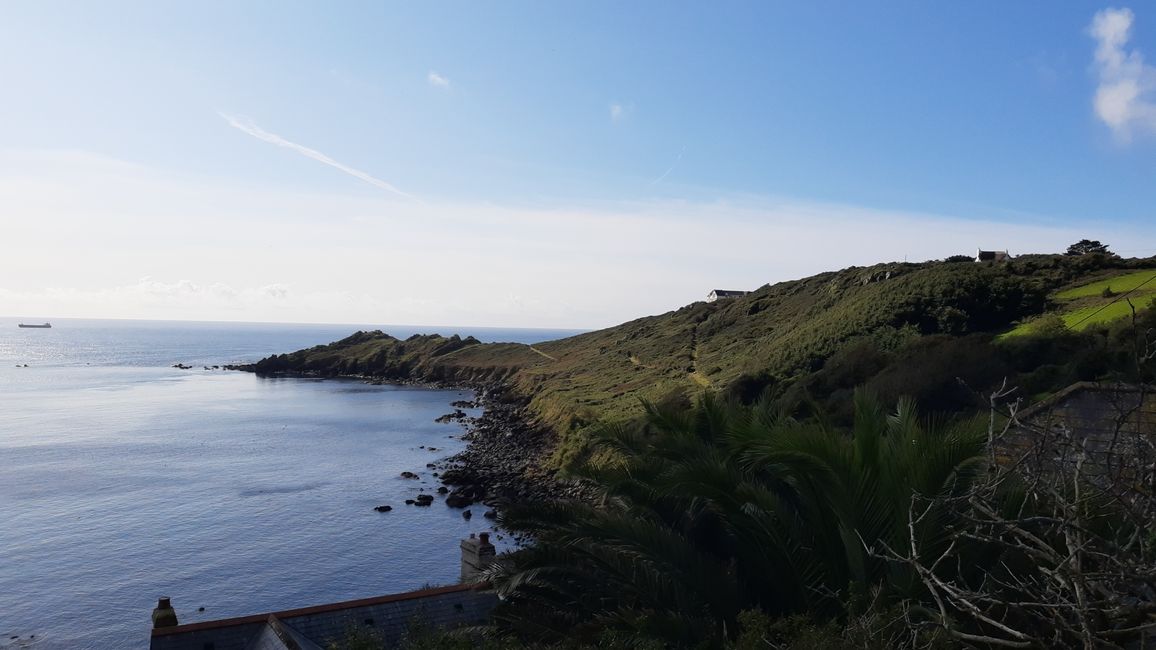
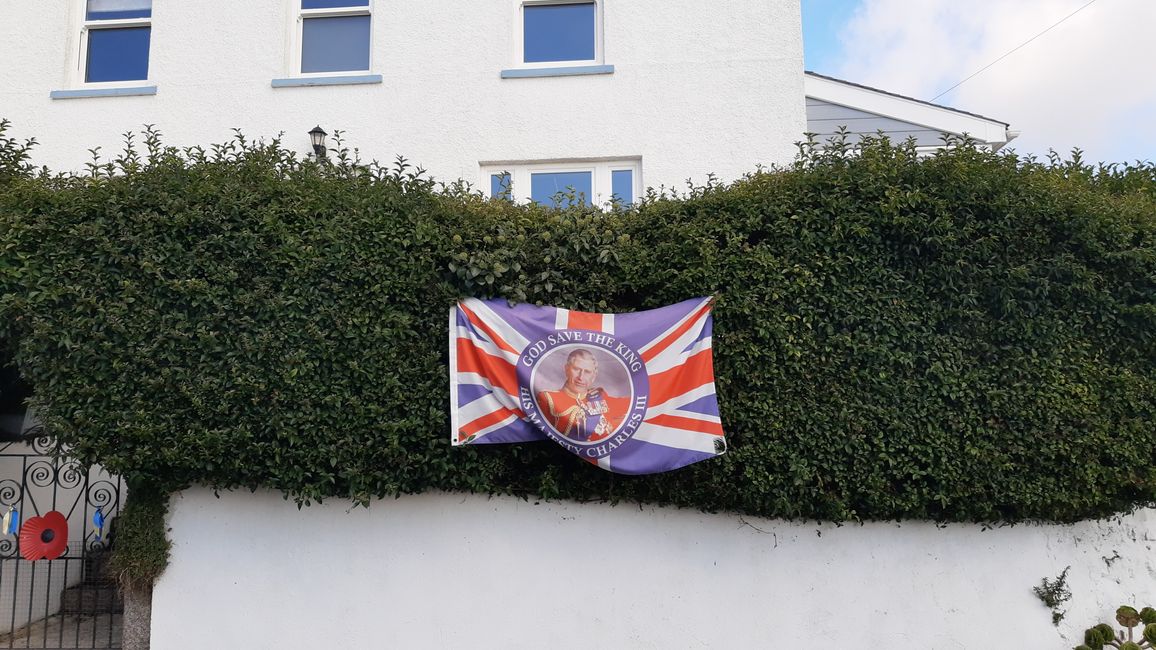
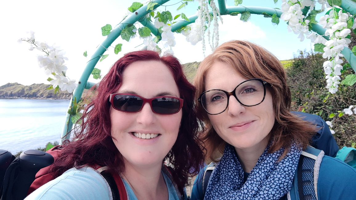
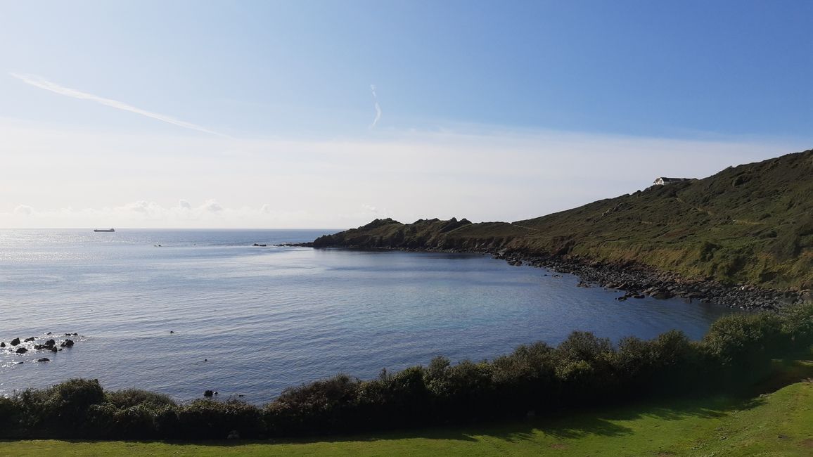
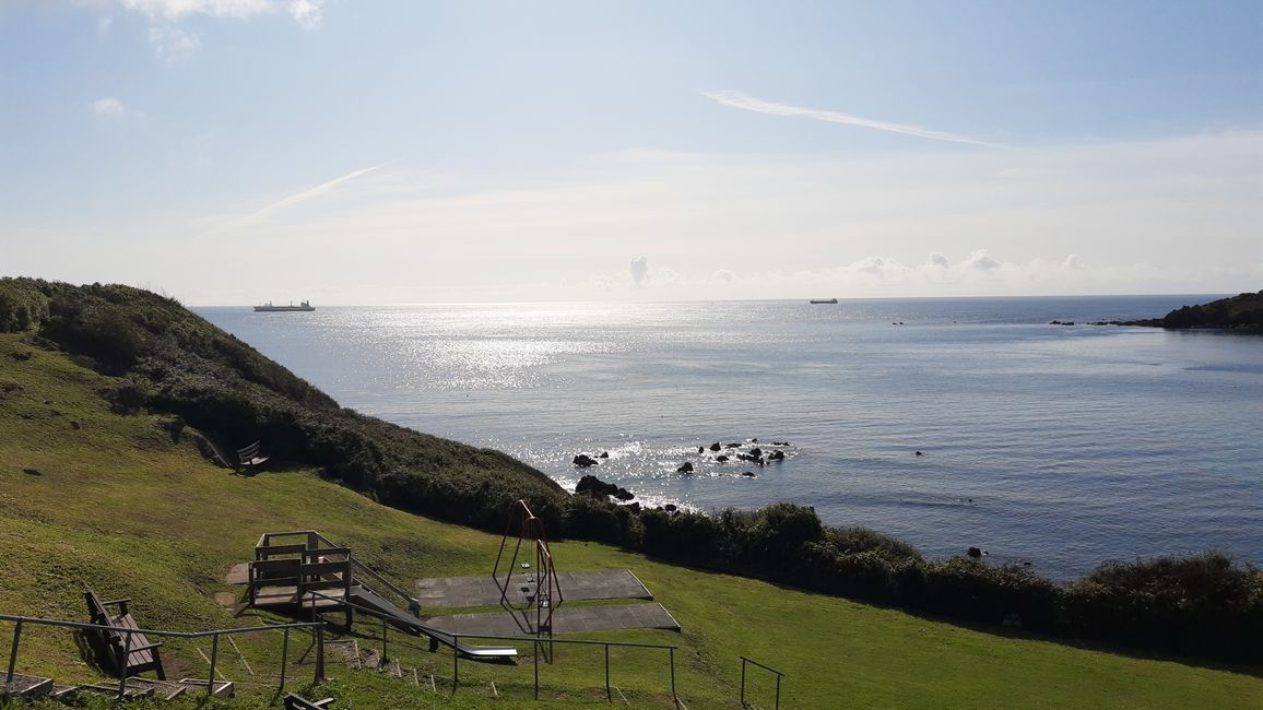
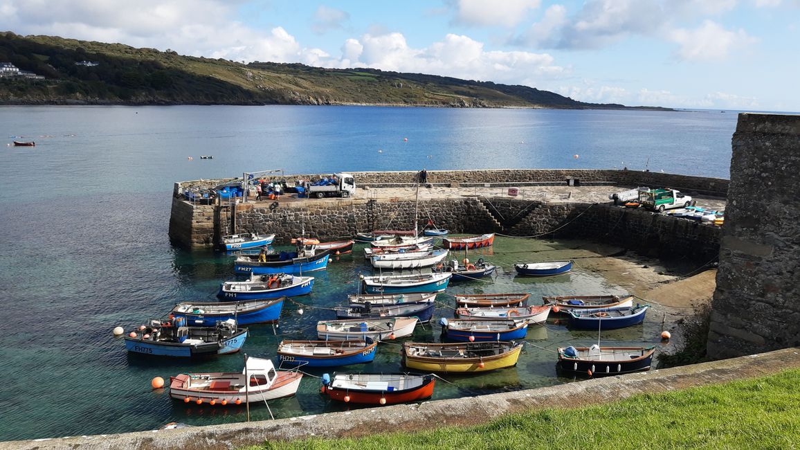
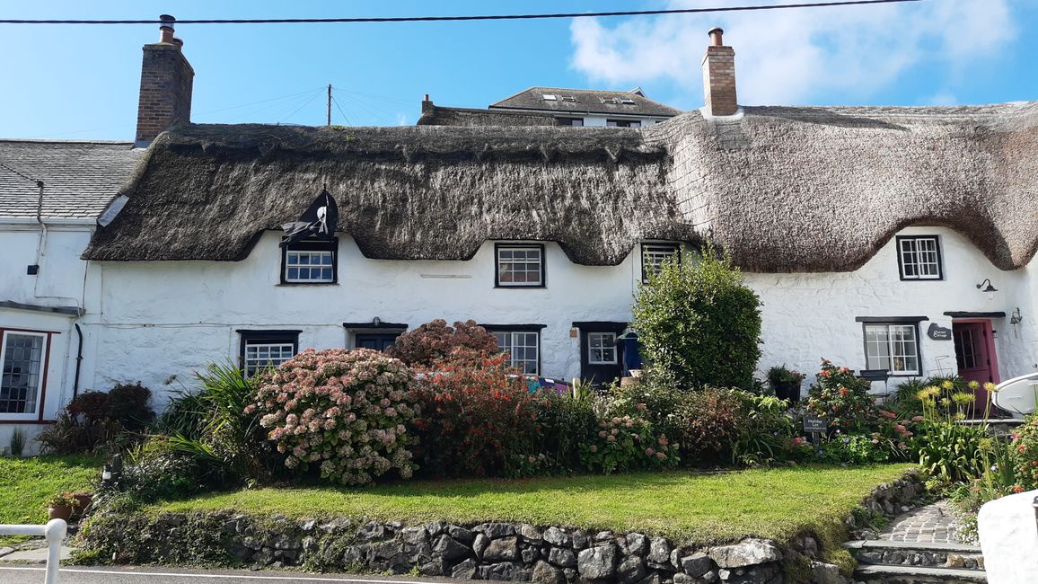
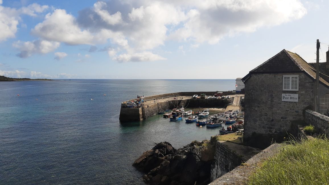
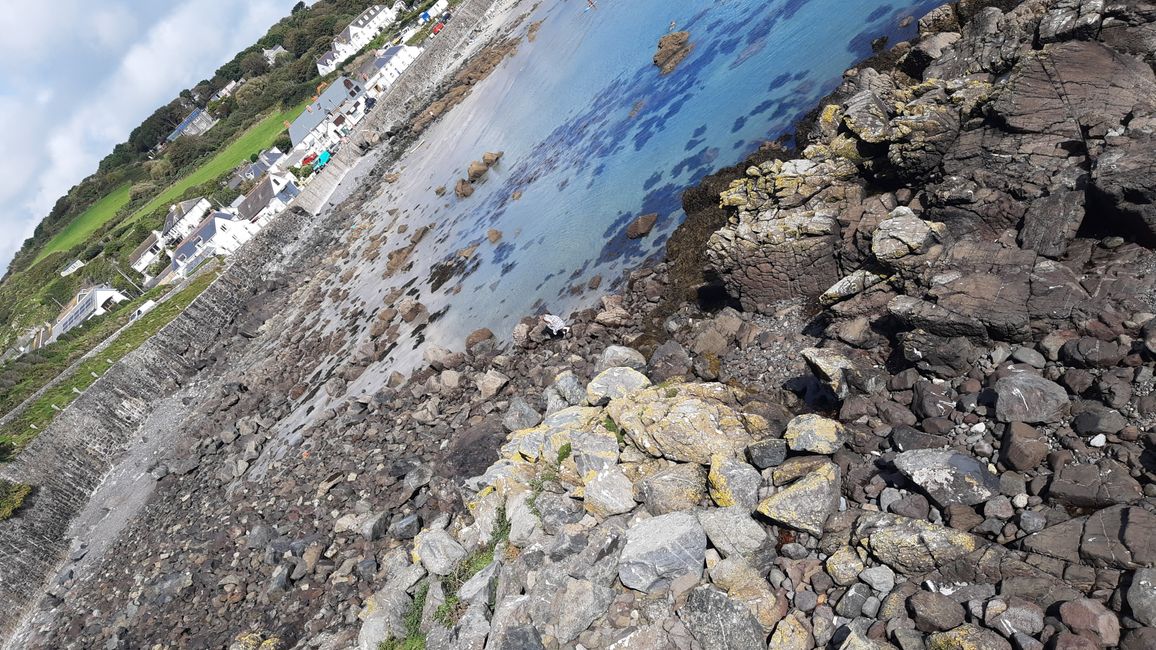
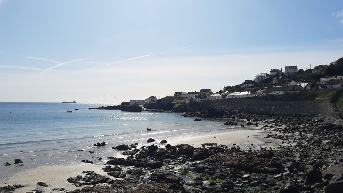
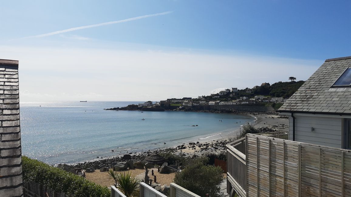
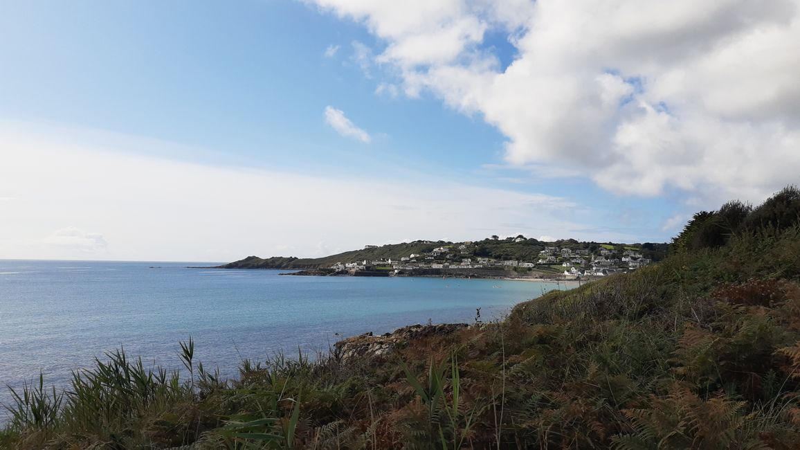
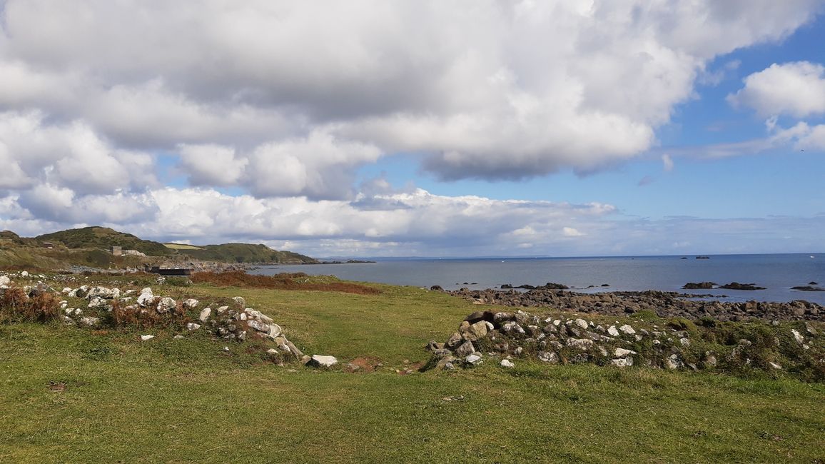
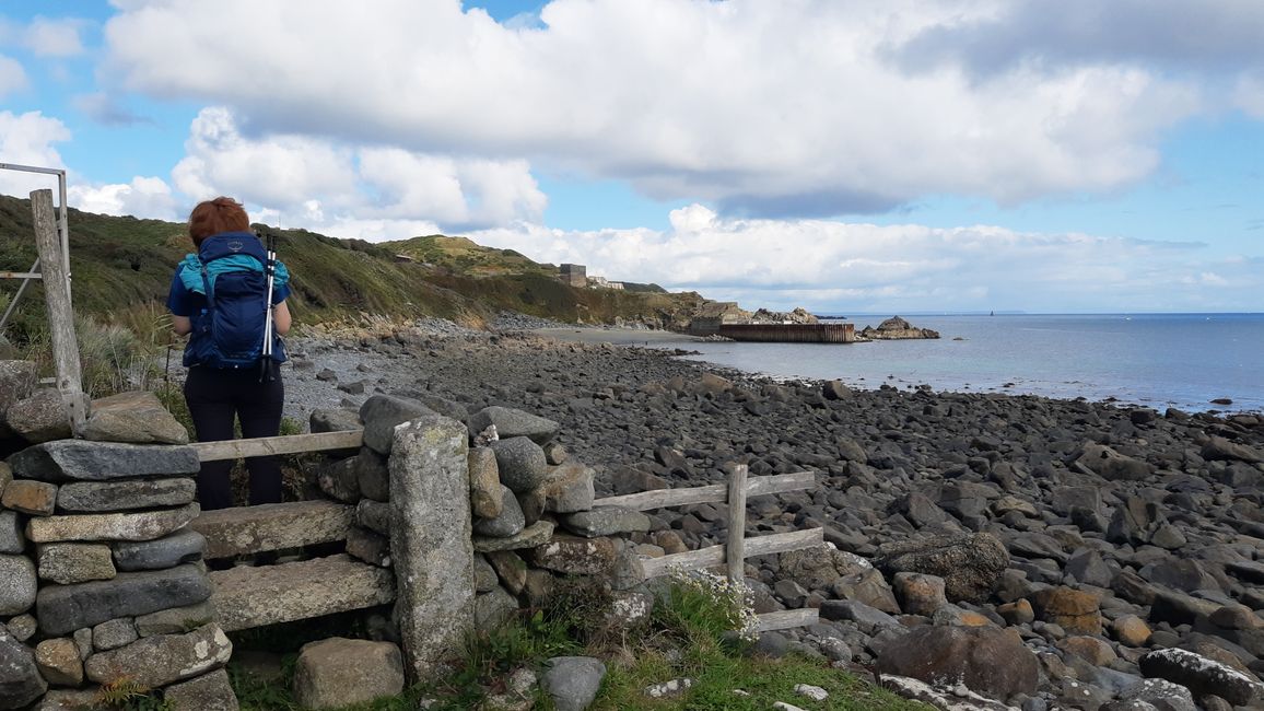
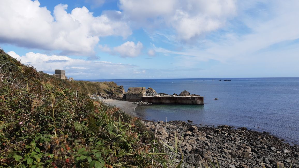
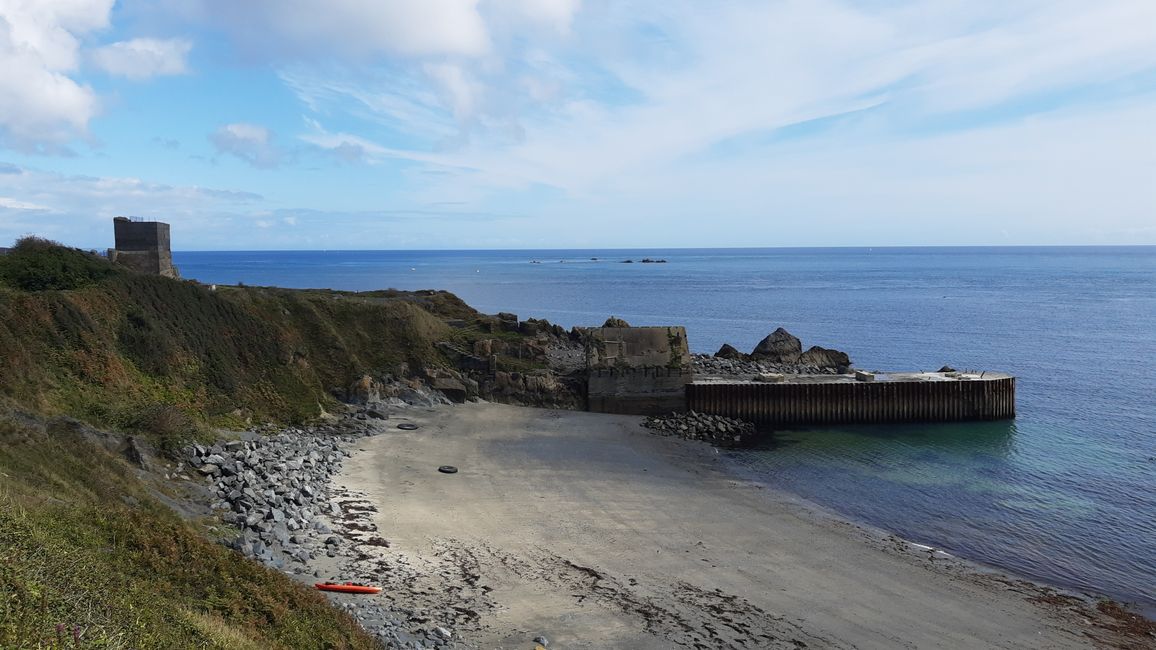
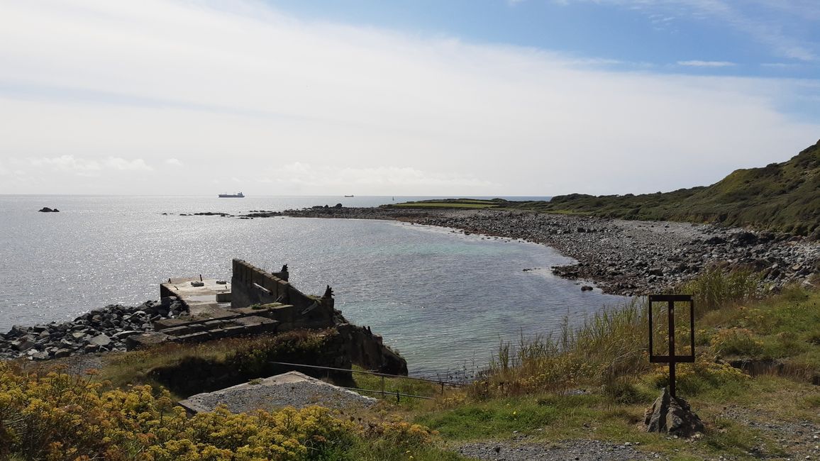
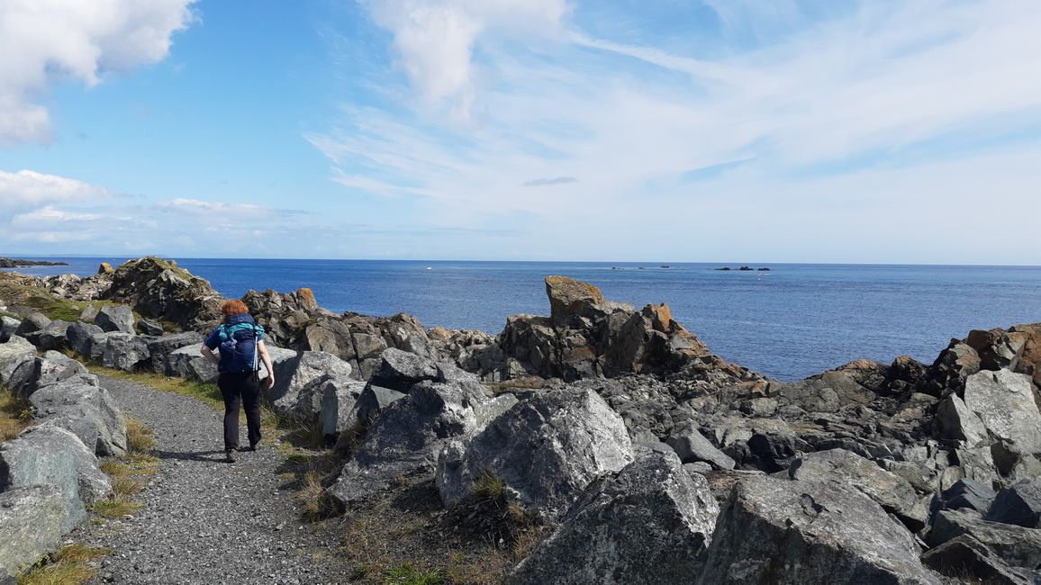
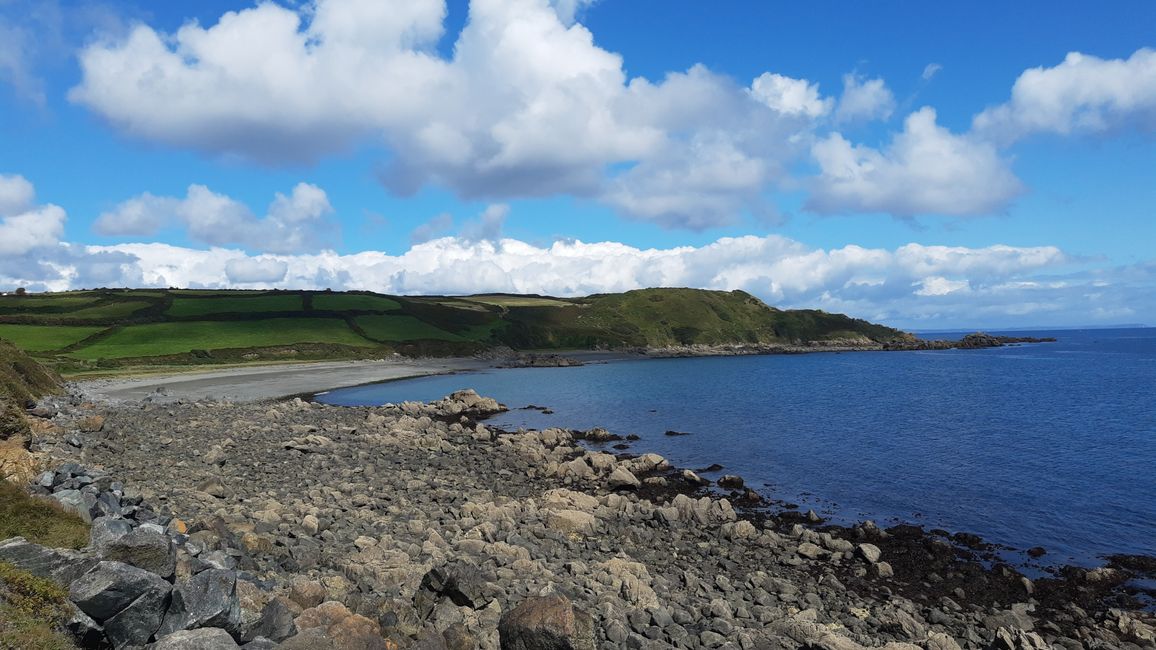
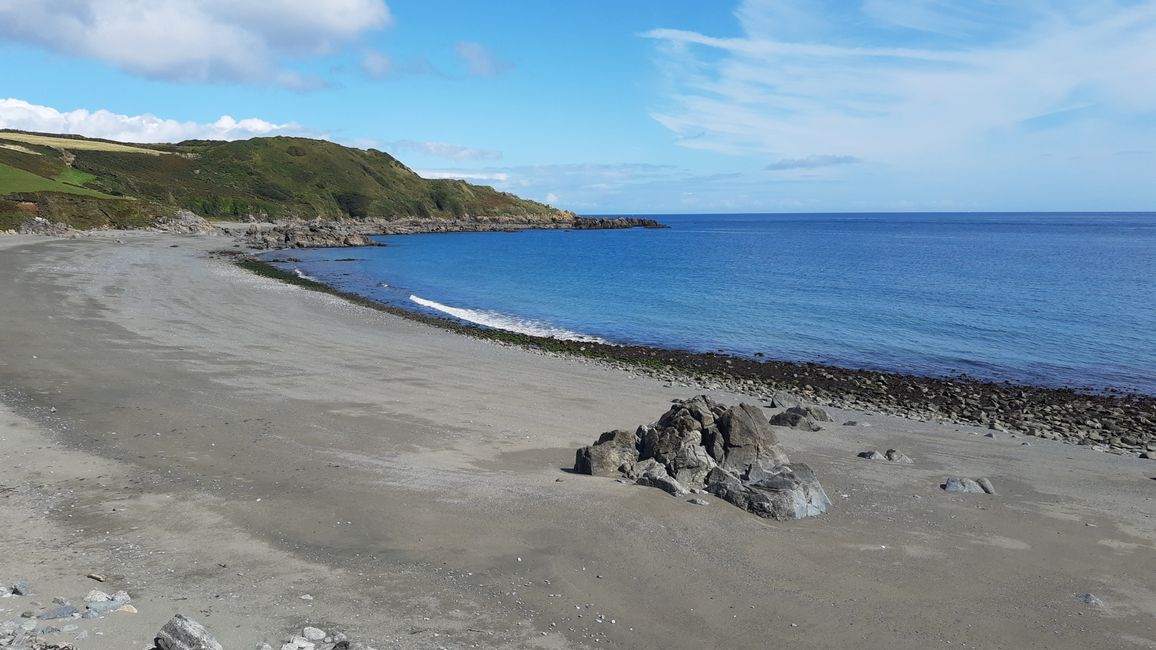
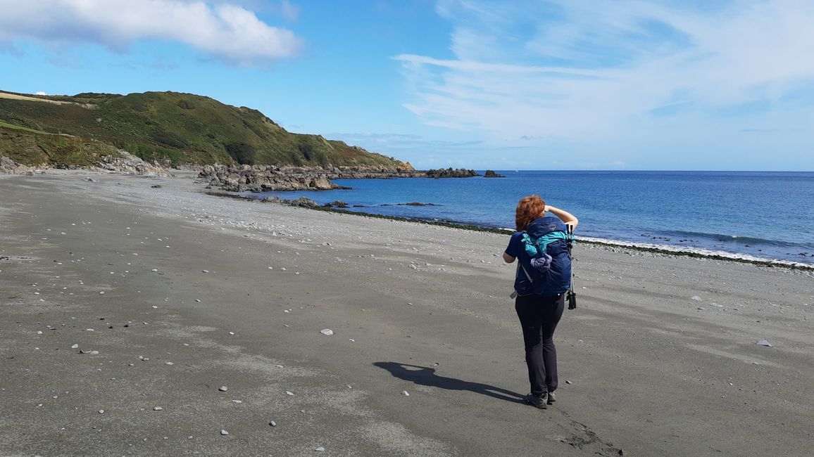
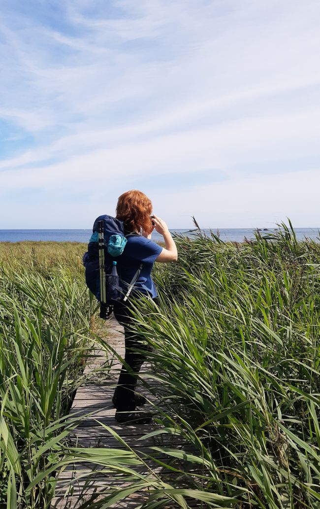
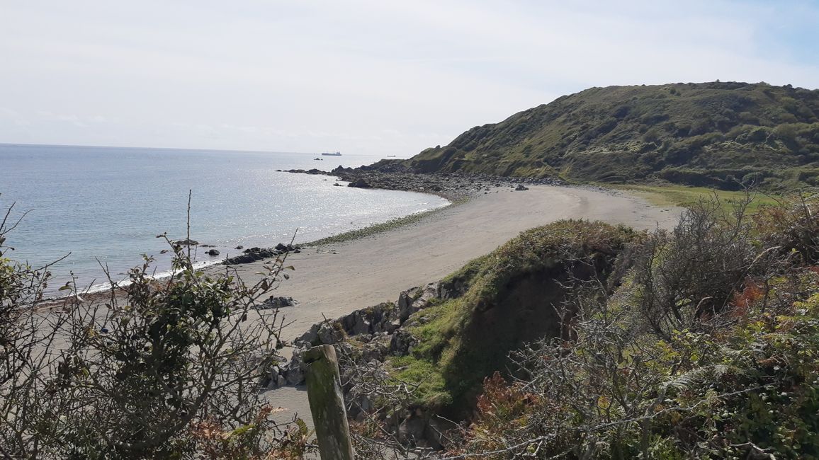
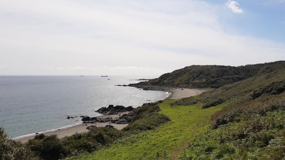
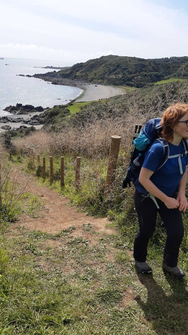
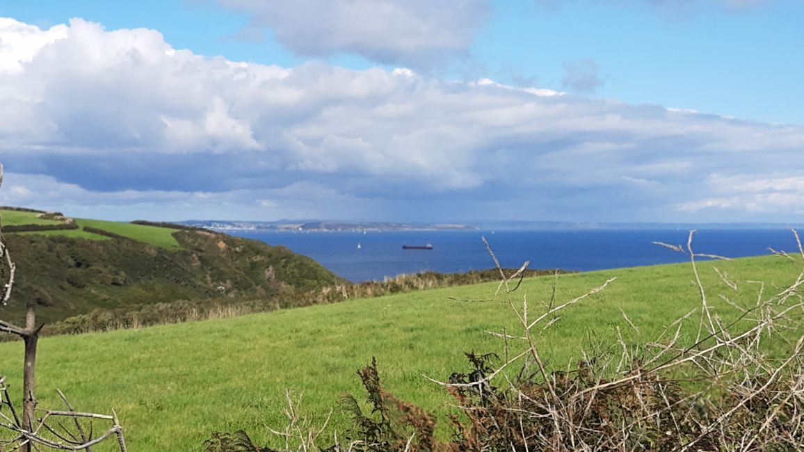
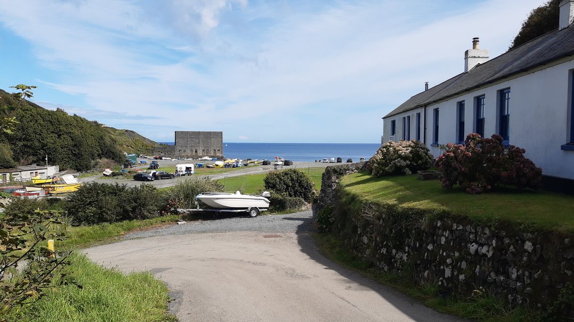
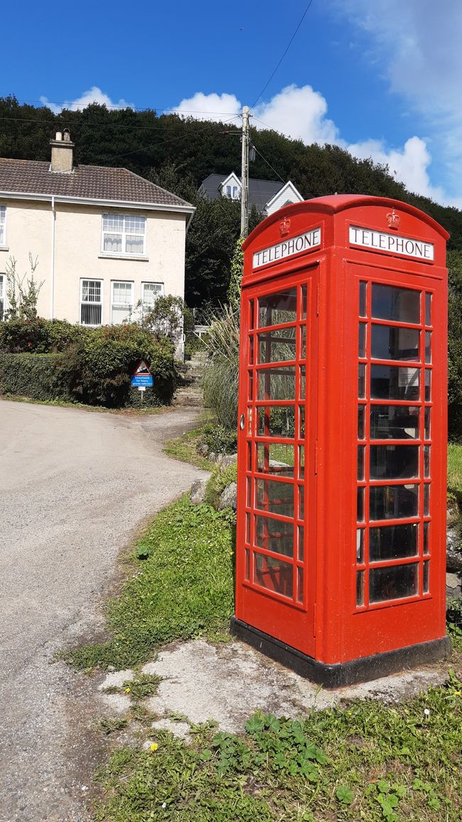
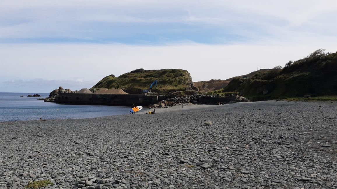
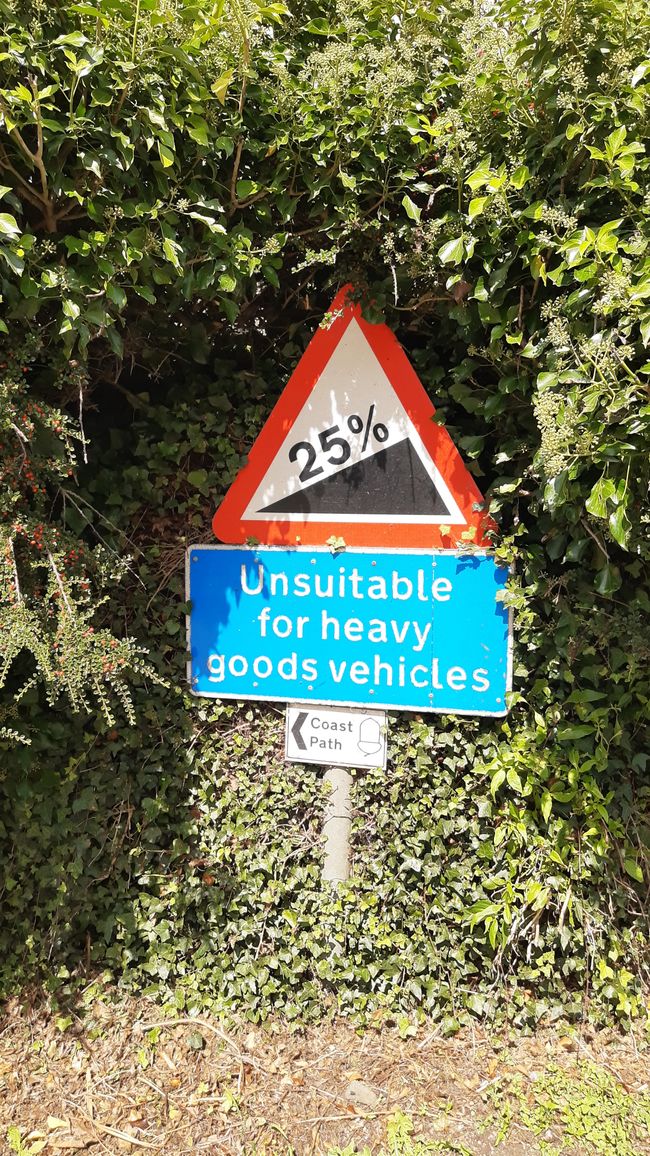
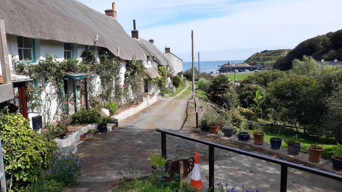
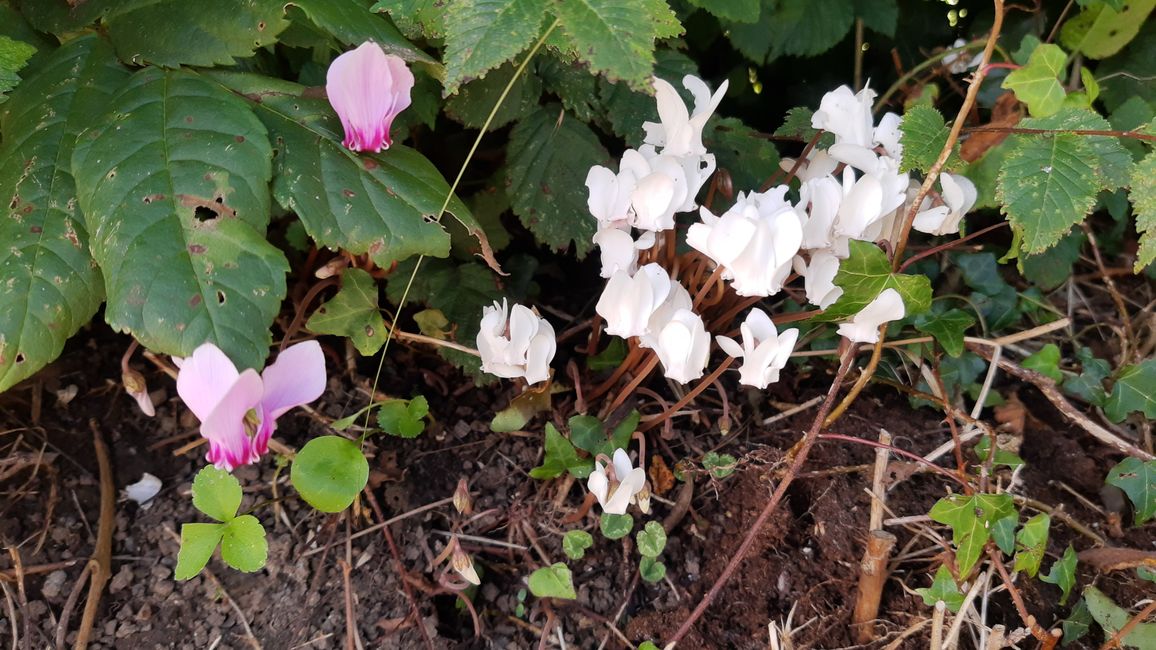
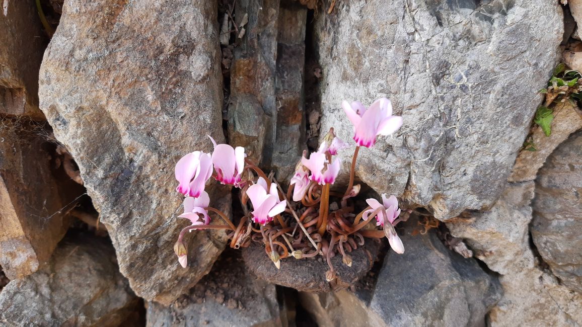

Yay, first look out the window: no rain, blue sky... running... 💪🏻
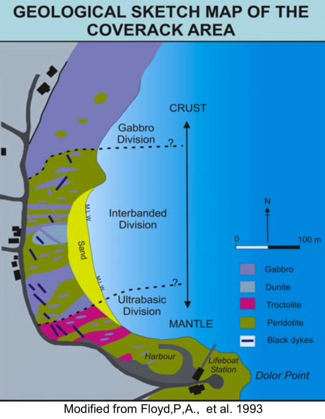
Coverack has an interesting geological peculiarity: the transition from the earth's mantle to the earth's crust can be seen on the beach. This transition is normally 5-7km deep in the sea and 25-60km deep on the mainland. The crossing is called "Moho" after the Croatian explorer Mohorovicic. I couldn't really imagine it either and just googled it and discovered a great website that I would like to link to: https://devongeography.wordpress.com/2020/09/19/walking-the-moho-at-coverack /
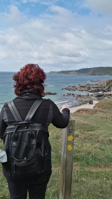
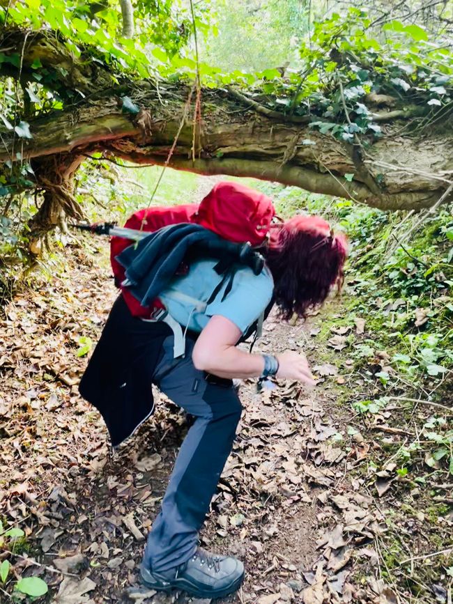
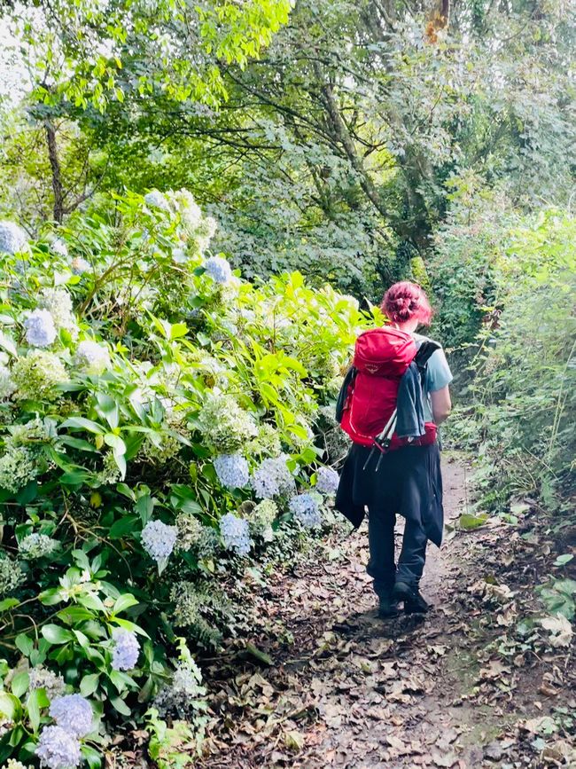
Today we were very happy about the beautiful view, the weather and the pleasant path.
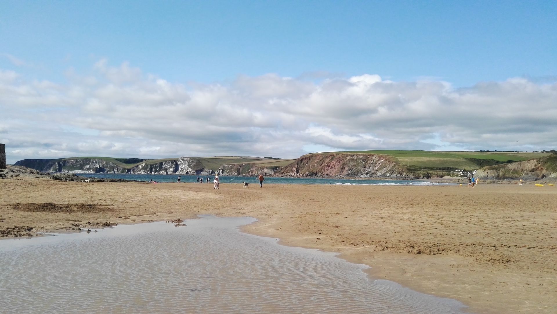
After Coverack we went out onto a headland, Lowland Point. From there a new view emerged - always exciting. You could already see the mouth of the Fal River (Falmouth). But first we approached the disused Dean Quarries quarry.
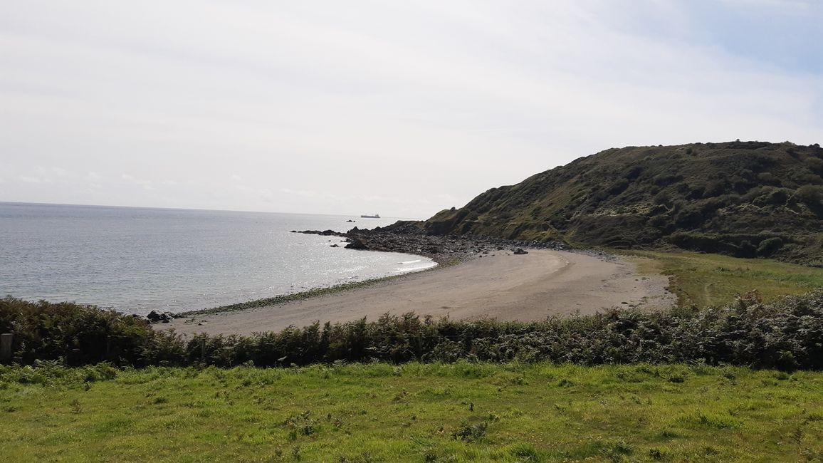
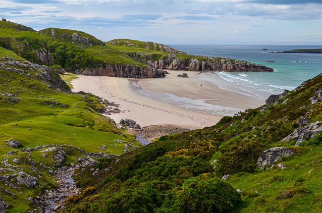
In the next bay, Godrevy Cove, was an almost deserted beach. And finally it got steep on the climb to the other side of the bay. Here the official Coast Path has been moved inland because work is still going on in the West of England Quarry. First through pastures and meadows, then field paths and finally roads we reached Porthoustock.
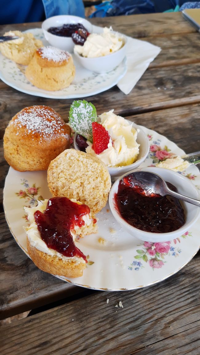
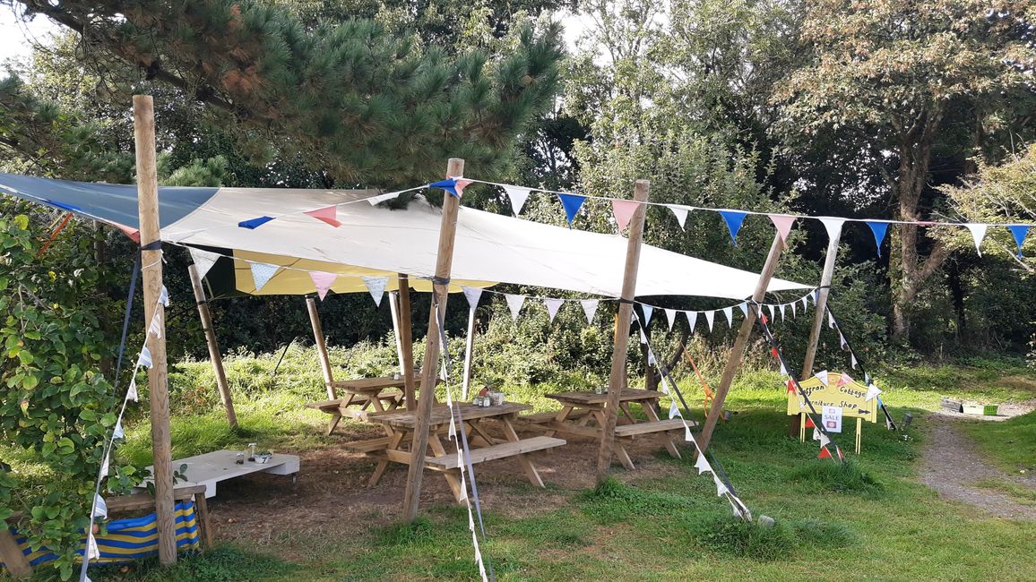
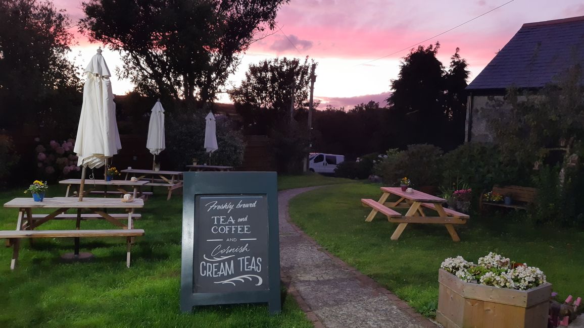
There were toilets and a food truck at the stand. After a quick refreshment, we headed back inland up the mountain, past beautiful cottages and through cool hedges. Then we reached the much advertised Fat Apple Cafe, which fully met all expectations and fortified us for the rest of the way with a great first cream tea.
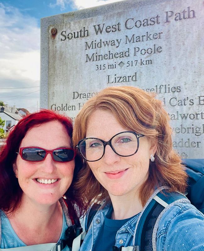
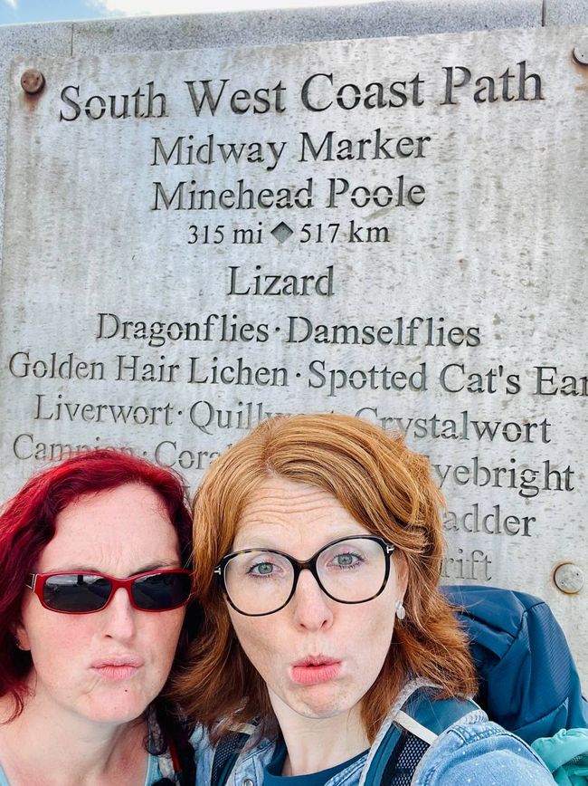
There is a marker in Porthallow that marks half of the Coast Path, yay.
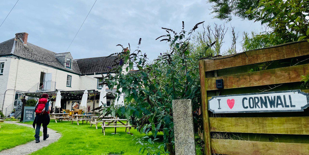
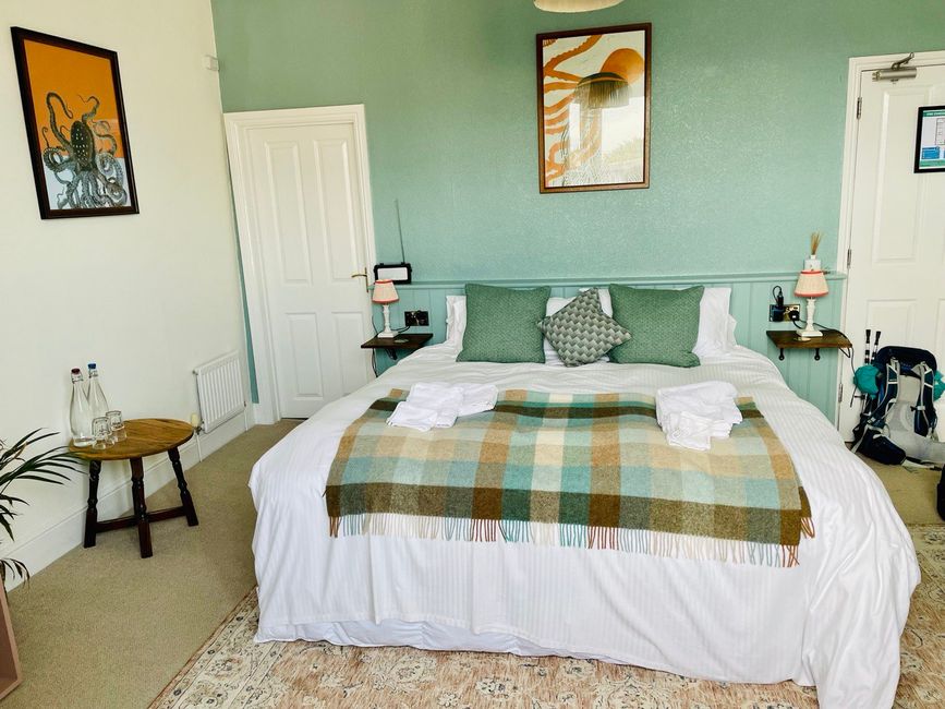
Afterwards we went back to our accommodation in St Keverne, where we stayed for two nights.
Жауап
Саяхат есептері Біріккен корольдігі
