Into the Land of Giants
Გამოქვეყნდა: 28.06.2018
Გამოიწერეთ Newsletter
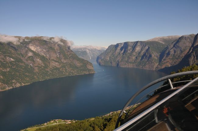
From Flåm, we head to Stegastein early in the morning, an observation point above the Aurlandfjord. From here, you have a powerful view of one of Norway's narrowest and most beautiful fjords from a cantilevered platform.
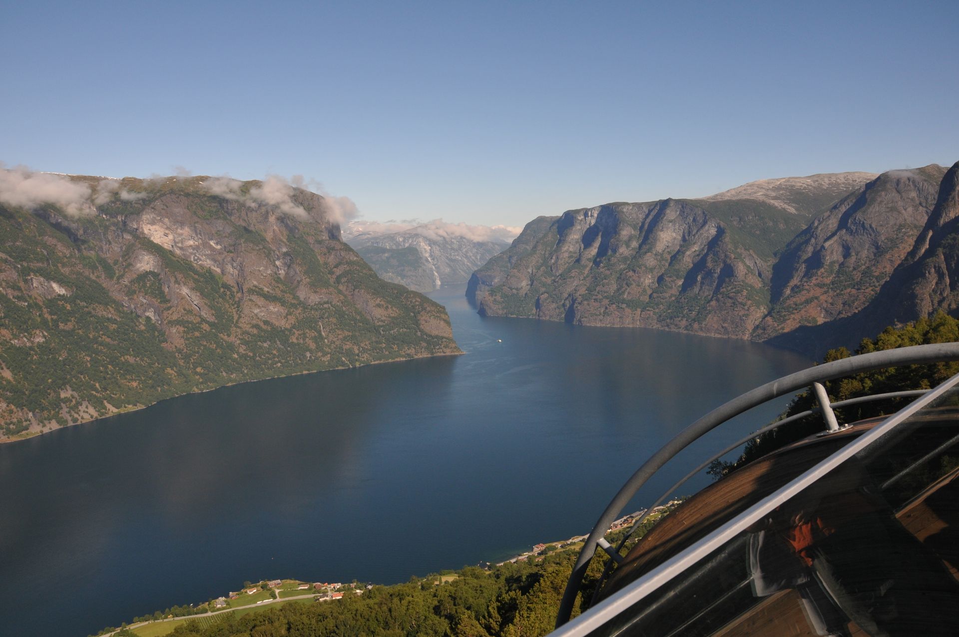
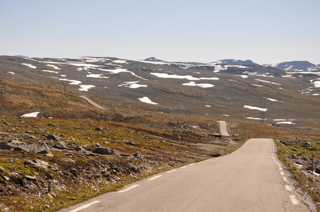
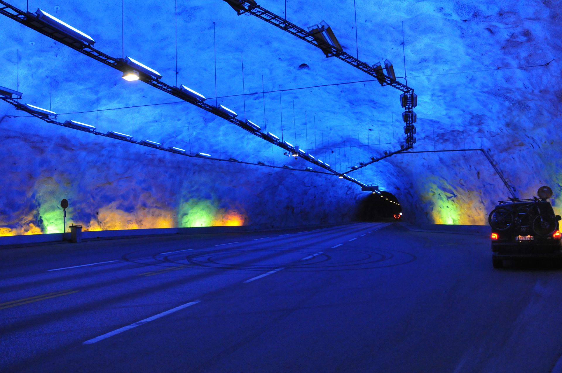
With this view, the fjord landscape says goodbye for now and gives way to the Norwegian high mountains. The Fjell, as the landscape above the tree line is called, begins right behind the fjord. The journey initially takes us to Lærdal via the Aurlandsvegen (or Snøvegen), a mountain road that is often still snow-covered in summer. This section of the route could also have been driven through the Lærdal Tunnel (the longest road tunnel in the world at 25 kilometers), but I'm not here for that....ok...I drove through it two days ago as a rain activity because of its apparently extremely innovative lighting :-)
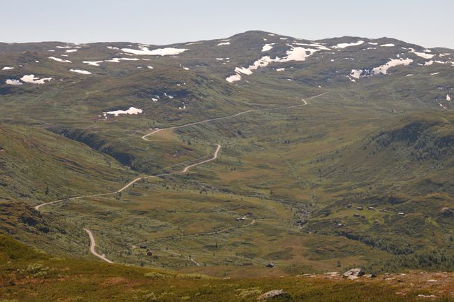
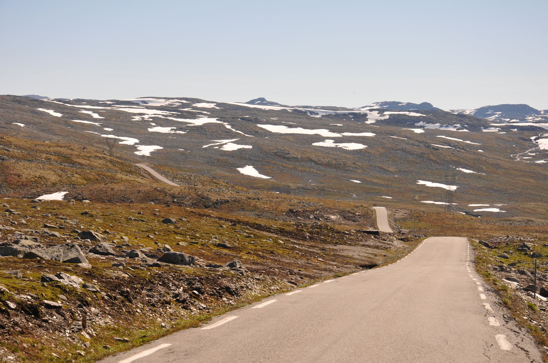
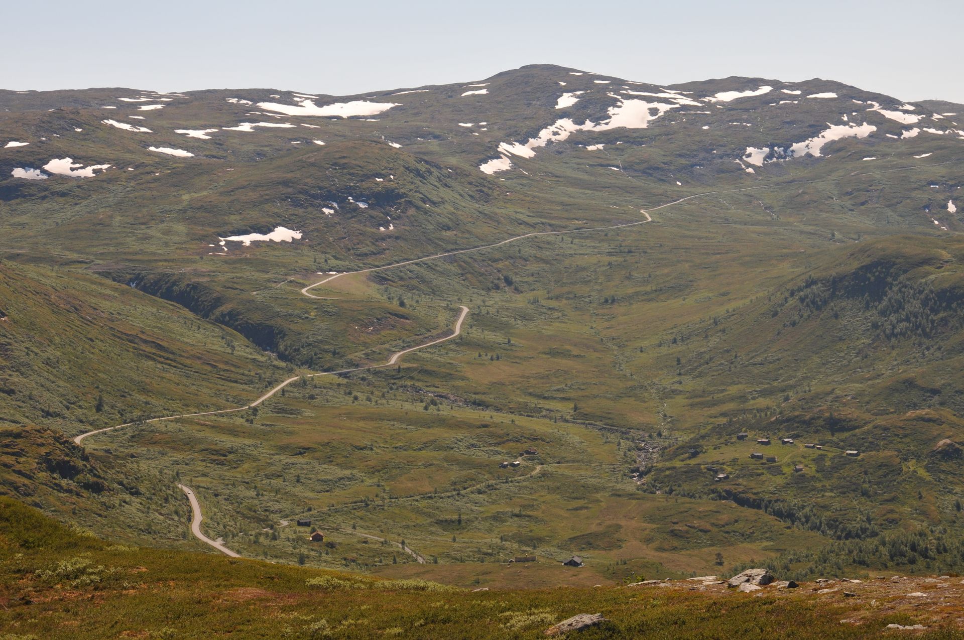
On the Aurlandsvegen, the vegetation changes quite quickly and the rocky moss landscape of Fjell appears. There is still some snow here and there, and the temperature drops rapidly. Except for me, not many people had this idea this morning. I am completely alone on the approximately 50 kilometers of road that winds through the mountains like a gray ribbon.
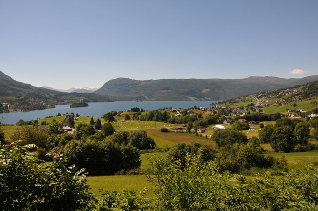
In Lærdal, the road leads down to sea level again and runs along the Lusterfjord for several kilometers before heading into the glaciers of the high mountains. The area is perfect for swimming if you enjoy a water temperature of 12°C.

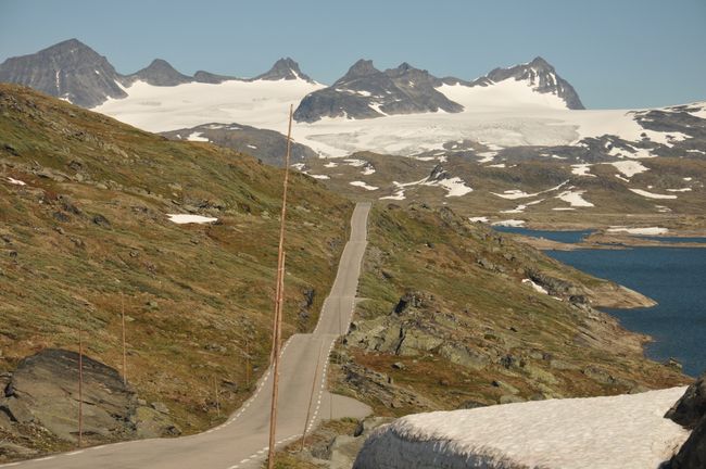
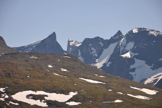
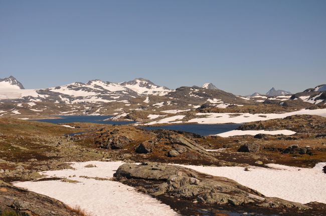
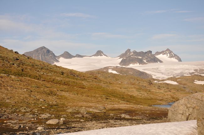
However, behind Skjolden, the fjord fun finally comes to an end. The narrow Sognefjellsveien, the highest pass road in Europe, leads directly into the Jotunheimen National Park (Home of the Giants). The drive from sea level to almost 1500 meters offers ambitious mountaineers an incredible wealth of impressions and activities. If you love mountains, you will love this landscape. Glaciers, lakes, and rugged mountain slopes make the drive entertaining, and you will want to stop after every other curve to enjoy the view.


Since I'm staying in the mountains tonight...because I can and especially because I want to...there is plenty of time to finally go on an extensive mountain tour in the Fjell.


Panorama Jotunheimen
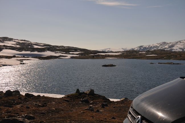
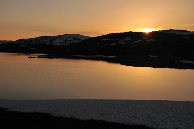
By chance, I end up at a glacier lake within sight of Galdhøpiggen, the highest mountain in Scandinavia at 2469m, which will be my home tonight.


Გამოიწერეთ Newsletter
Უპასუხე
Მოგზაურობის ანგარიშები Ნორვეგია


