Nordkapp - Stage 28 and 29
Diterbitake: 07.07.2021
Langganan Newsletter
Yesterday, the question arose whether to bypass the European route along the coast or through the inland. Based on the Google data, we chose to drive through the mountains, rather a few long ascents than constant ups and downs. The weather had turned to rain, so we quickly packed up the tent in the morning and had breakfast on a covered veranda.
Did the route pay off? It was definitely drivable and we didn't get caught in the announced thunderstorms. However, Google Maps underestimated the elevation gain by over 200 meters - not a good basis for further planning 😋
Hudiksvall - Bergafjärdens
91 km, 700 m uphill
This morning, due to the unsettled weather, we had to pack up the tent quickly again, but in the end, the weather held up pretty well and we didn't have to ride with rain jackets. After about 15 km, the city of Sundsvall started, a port city with impressive highway bridges. A beautiful center, but also a dense urban area.
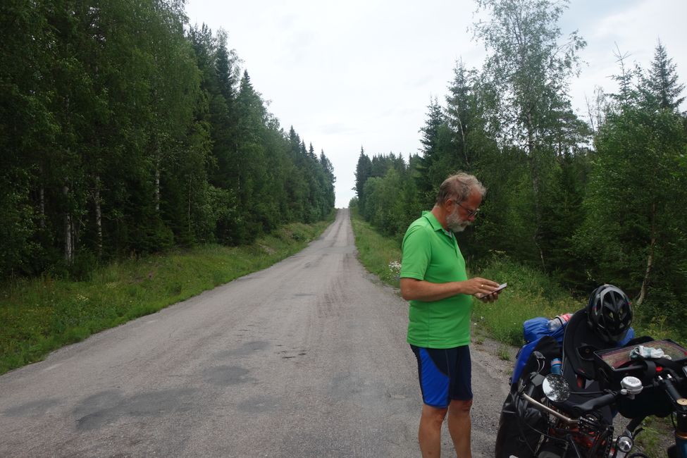
In the afternoon, we left the city area and rode through the hilly landscape again, with one or the other more or less steep hill - almost 10 km uphill, with gradients of up to 6%. A road that was at least paved, but somewhat damaged.
Bergafjärdens - Härnösand
91 km, 821 m uphill
Langganan Newsletter
Wangsulan

Laporan perjalanan Swedia
