Tongariro NP and/or Taranaki
Naipablaak: 30.03.2017
Agsubscribe iti Newsletter
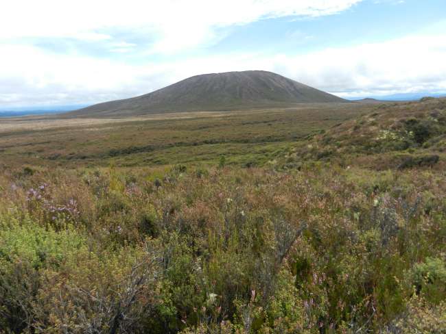
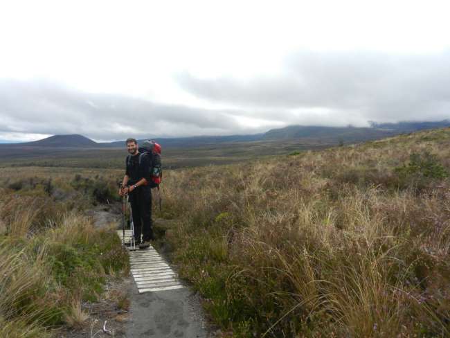
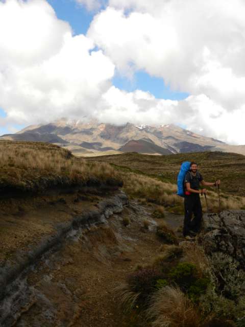
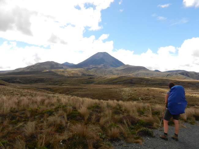
The four-day northern circuit hike in Tongariro National Park starts in Whakapapa village. We are in New Zealand's oldest national park and the fourth oldest in the world. The Tongariro NP is also known for being the filming location of some Mordor scenes in Lord of the Rings. The beautiful volcano Ngauruhoe is the famous Mount Doom from the movie. So, we set off from Whakapapa towards Mordor!
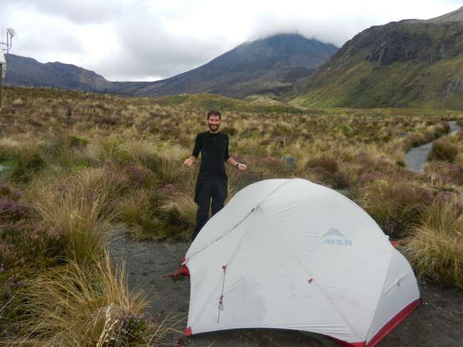
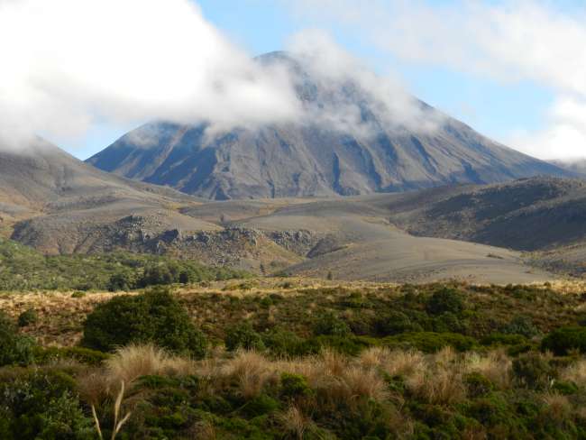
The first stage to Mangatepopo campsite is easy and flat. Contrary to the weather forecast, it is warm and dry, which makes us very happy! It brings back memories of summer in Iceland! We set up our tent near Mount Ngauruhoe, which has a hypnotic attraction. We really like it. The last eruption was in 2012, where it destroyed a tramping hut... oops! The next day, we climb up to the Red Crater and several crater lakes at nearly 2000 meters. The views are said to be breathtaking!
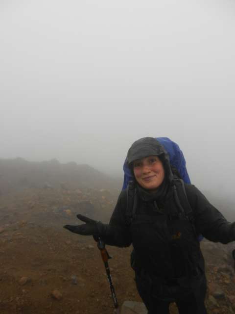
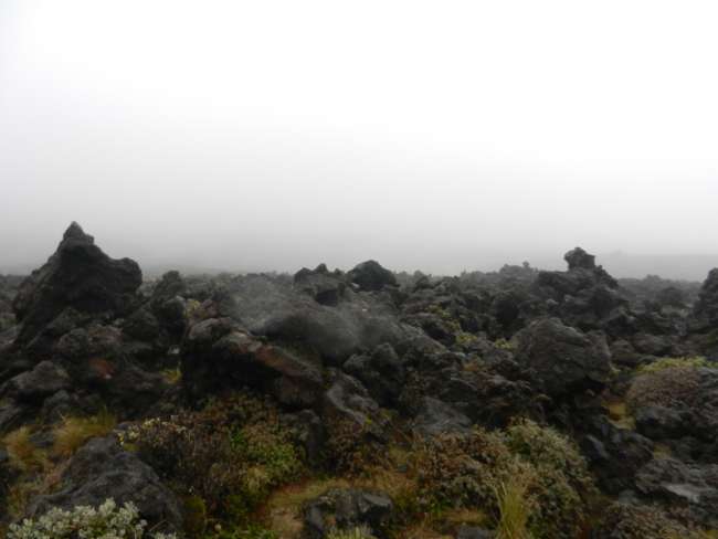
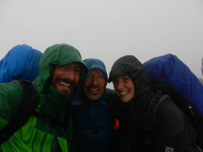
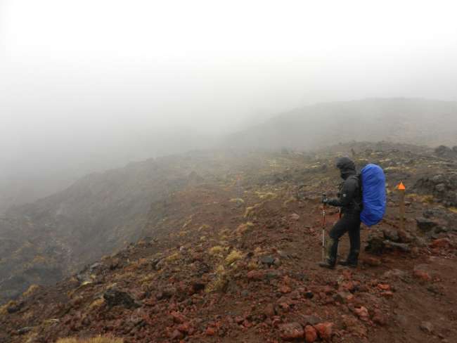
Unfortunately, the weather was not on our side. It rained heavily for the next two days, strong winds started blowing, and it was constantly gray and foggy 😣😒 so no craters or lakes. We climbed through lava fields and ash remnants, but after all the effort, we were not rewarded with any views. The feeling of frustration overrides us as we stand next to the crater and see nothing. This weather is pointless! By the way, Manuel from Zaragoza joined us all the way to the top. He is a professional mountaineer who has been on almost every mountain and finds all this a walk in the park ☺
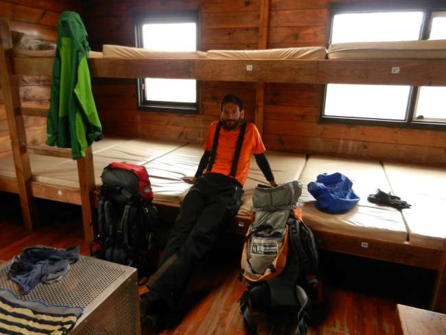
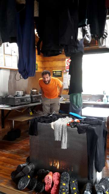
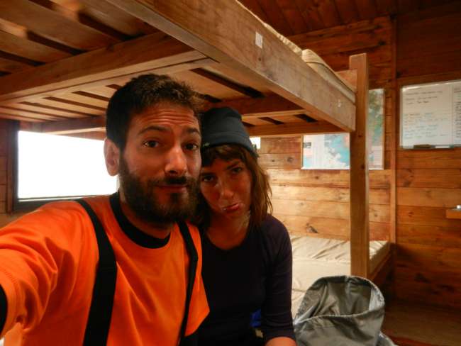
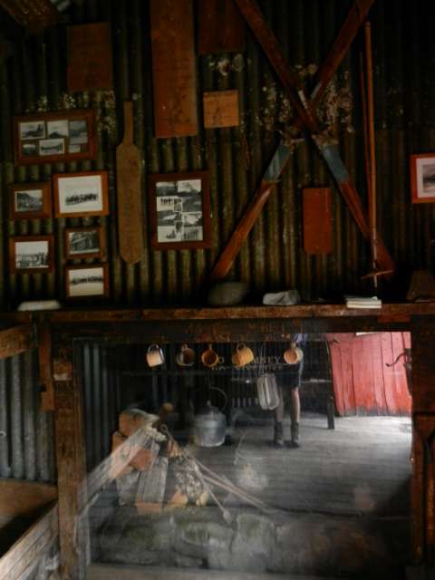
Drenched to the underwear, we reach our next destination, Oturere. In the hut, there is a gas heater that everyone uses to dry their wet clothes and shoes. Our companions are a 6-member New Zealand family, two Englishmen, and a German. Since there is no ranger in the hut today to check, we all sleep inside the hut, even those who only paid for camping, like us 😊 with the wind and rain, we are grateful for a solid roof over our heads.
The third day was similar: wet, gray, and windy. In good weather, we would have climbed up again to see the highlights from above, but not like this. The grandfather of the New Zealand family aptly said, 'There is a reason why New Zealand is so green.' He is right, but we are still annoyed by the weather and the constant wetness. Many people must have experienced the same last summer, as it was supposed to be the wettest summer in about 30 years. The reservation system for the hikes forces you to choose a fixed date, so you lose the flexibility to wait for better weather. What a shame!
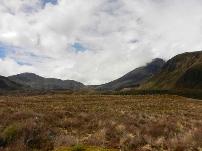
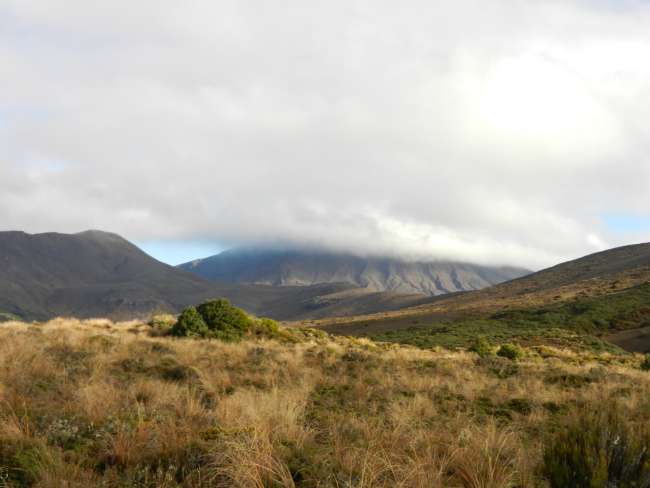
On the last day, it is dry again, warm, and even sunny. The trail is super beautiful, and we finally see where we are! But somehow, we can't help but look back and think about how spectacular it would be up there on the volcano today. Well, that's how it is with mountains and probably even more with New Zealand mountains 😉 In the Romanian Carpathians, we had to turn back due to bad weather because it would have been too dangerous. Here, the volcano didn't want to show itself to us, a shy volcano 😉
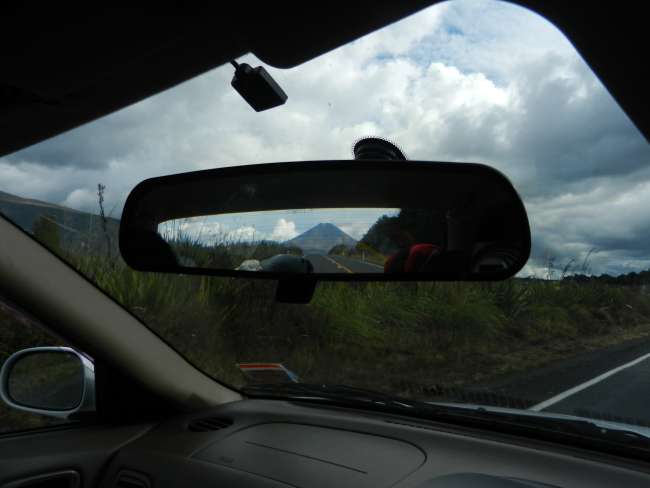
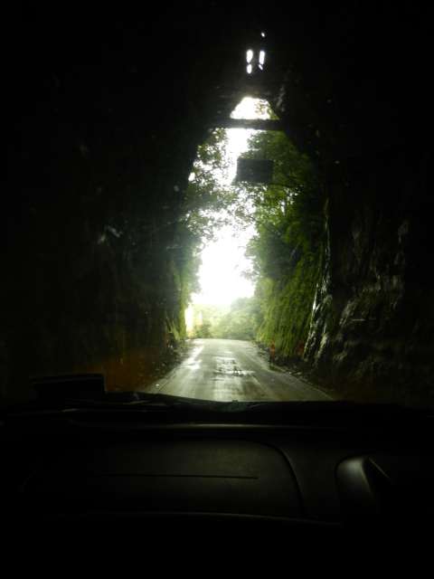
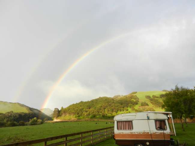
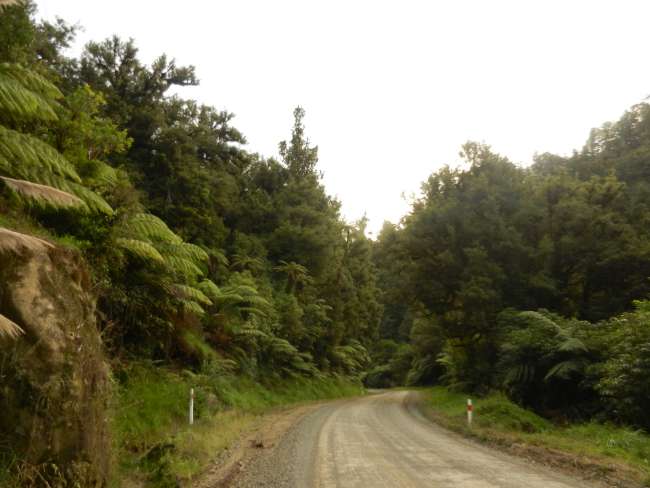
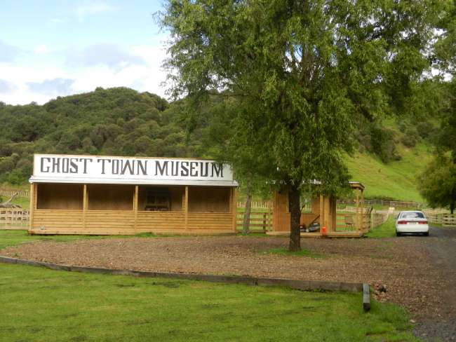
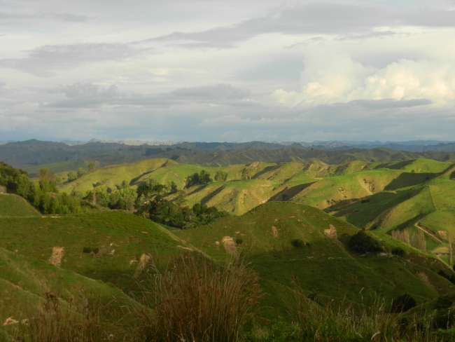
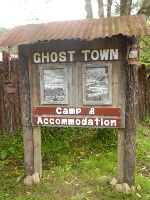
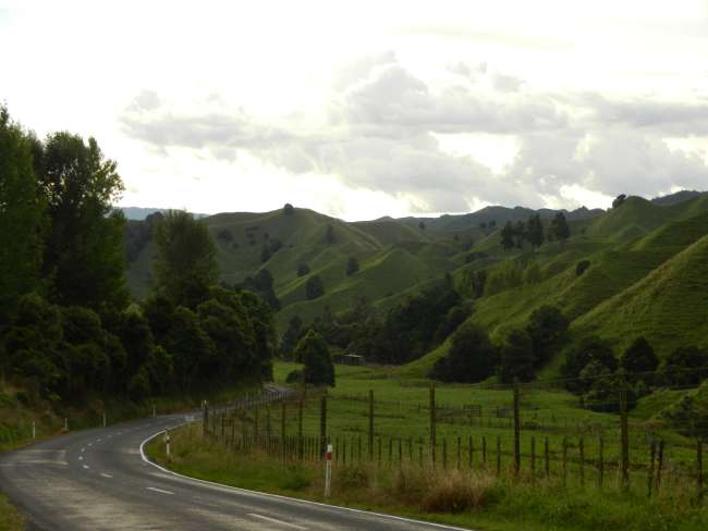
After the hike, we drive west on the Forgotten World Highway. We stay overnight in Tangarakau, an old mining town that has become a nearly completely abandoned ghost town after the mine closed. We really like the camping site, and the Forgotten World Highway is fascinating with its seemingly endless, gently rolling green hills and forests. 15 km of the highway is gravel road, and the remaining 135 km is a winding mountain road with a narrow single-lane tunnel. There are a maximum of 4 houses in the area... all very deserted.
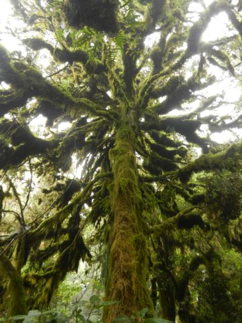
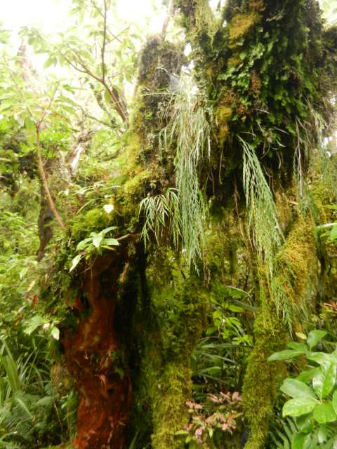
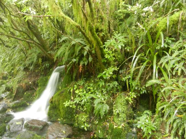
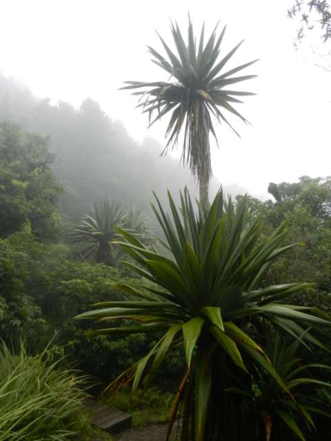
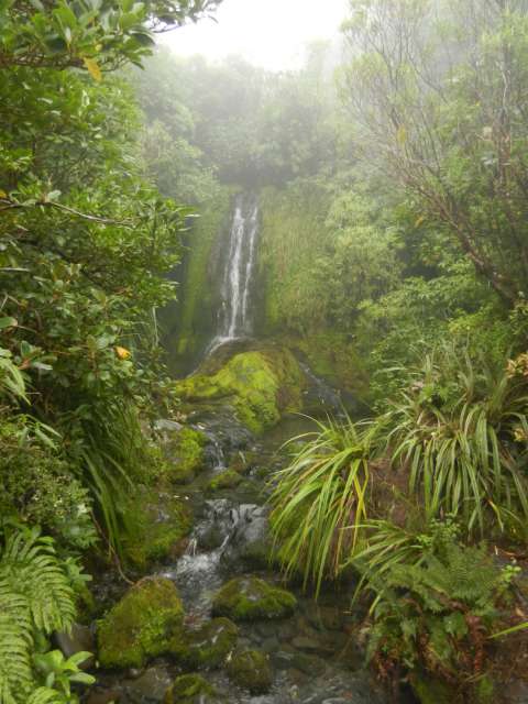
Our next destination is Mount Taranaki, a volcano on the west coast. But it seems to be shy as well. After a sunny morning in Tangarakau, it is wet and foggy again at Mount Taranaki, so no volcano in sight. Nevertheless, we decide to take a short walk through a very beautiful, old-fashioned forest.
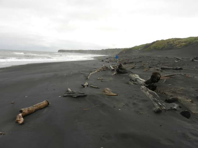
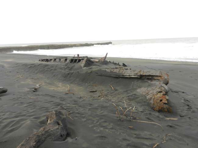
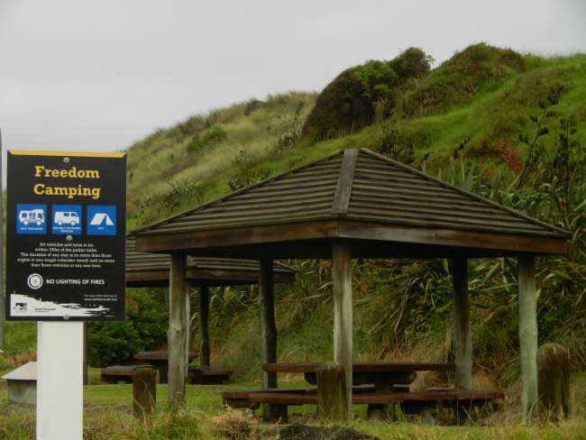
We spend the night in Patea, at a free campsite right next to a black beach. Because of the heavy rain, we sleep in the car, which surprisingly works well.
Now we are in Wellington, the sun is shining, and tomorrow our ferry will take us to Picton on the South Island!
By the way, sorry for the mix-up with the photos!!! The Wi-Fi is often slow, and the photos are unfortunately not loaded in the order we select them!!!
We arrive in the town of Whakapapa, in the center of the North Island, to do the northern circuit hike in Tongariro National Park. It is New Zealand's first national park and the fourth in the world. It consists of a group of volcanoes, and the trail we are doing covers them for four days. The park is also known for being the filming location of Mordor scenes in the Lord of the Rings movie. So, we literally set off to Mordor!!
The first night we spent at the Whakapapa campsite was already a foretaste of what awaited us on the rest of the journey: a lot of rain 😐.
The first day to the Mangatepopo cabin was quite good, and the weather was sunny. The trail was a bit challenging as it had been damaged by the rain in the previous days. We could see the active volcano cone of Ngauruhoe up close, an impressive mountain with a black color, which we would climb to 1900 meters the next day to get a closer look.
Or so we thought, because the reality was quite different. As soon as we woke up and left the tent, we were greeted with a gray sky, heavy rain, and very low clouds. Right from the start of the ascent, the clouds revealed very little: a river passing by our side and some lava rock fields. When we started climbing towards the mountain pass between Mount Ngauruhoe and the Red Crater, we could only sense that we were climbing a volcano because of the black surface we were stepping on and the almost constant smell of sulfur. At the top of the mountain pass, on the ridge of the Red Crater, it was very windy and pouring rain, so we decided to continue and descend quickly since we couldn't see anything either. Manuel, an experienced mountaineer from Zaragoza, accompanied us all the way to the summit.
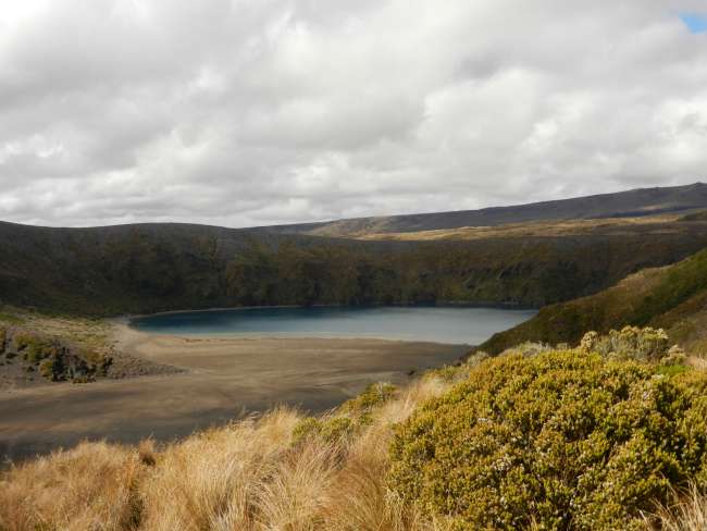
During the descent to the Oturere cabin, we were able to see at least one lake in a crater and some beautiful landscapes. We arrived at the destination completely wet, but fortunately, we were able to sleep inside the cabin, as the park ranger did not come to check even though we had only paid for camping with our tent next to the cabin ☺. So, we were able to enjoy the heating during the night and dry our clothes.
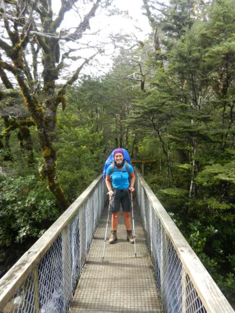
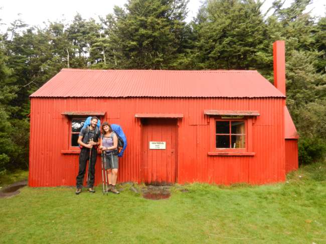
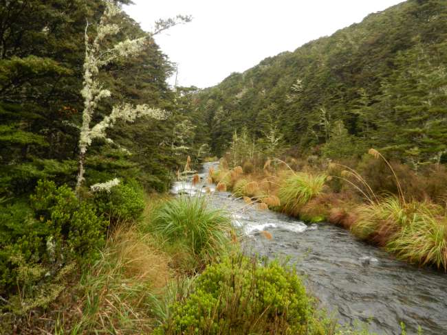
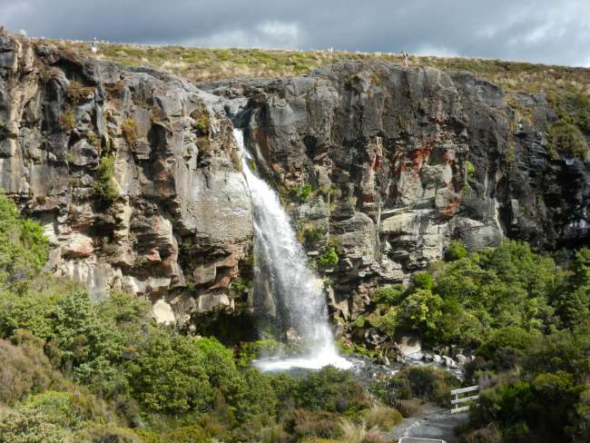
The next day to Waihohonu was more of the same, rain all day and arriving soaking wet at the cabin. The trail runs through a volcanic landscape, continuing the descent from the mountain to a forest just before reaching the destination.
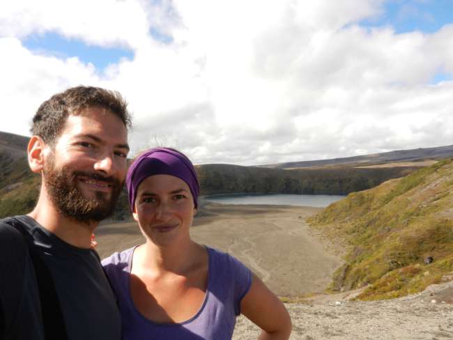
The last day, the sun came out again, albeit a bit late for us 😡. Although the trail back to the town where we started was beautiful, we couldn't help but look back at the mountain and think that we had been up there, on the ridge of a volcano, and couldn't see anything at all. It seems like the mountain was mocking us a bit 😊. During the hike, we were able to see a large volcanic lake and stunning views of the mountain range.
Upon reaching the car, we set off to our next stop on the trip, Mount Taranaki on the west side of the country. We travel along the Forgotten World Highway, where we can enjoy both rural and original jungle landscapes. After spending the night at a camping site by the road, we arrive at Mount Taranaki, which, to keep up with our streak, is surrounded by very thick fog that doesn't allow us to see it. Nevertheless, we decide to take a short hike in the foothills.
In conclusion, we haven't been able to see what I think is the most beautiful part of the North Island of the country due to bad luck. Now, we continue to Wellington heading to the South Island, hoping for a bit better luck with the weather!
Agsubscribe iti Newsletter
Sungbat (2)
Dunja
Trotz Eurer Frustration empfinde ich die Bilder als wunderschön.
Ihr fehlt hier, dennoch ist es toll Euch beim Reisen zuzuschauen. Ihr taucht uns mit ein, sodass wir auch ein Gefühl haben, eine kleine Weltreise zu machen!
Ich mag Deine kleinen Geschichten zu jedem Beitrag. Zwar vergesse ich am Ende des Texts die ganzen Namen, dennoch geniessen ich das Lesen jedes Mal.
Fühlt Euch gedrückt <3Nini
Danke Duni 💜💜💜 Fühlt euch fest zurück gedrückt!