
Tag 41-47: Mount Whitney and Forester Pass - can't go any higher
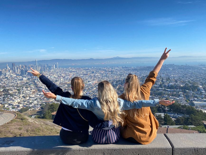
Naipablaak: 23.05.2022


Agsubscribe iti Newsletter
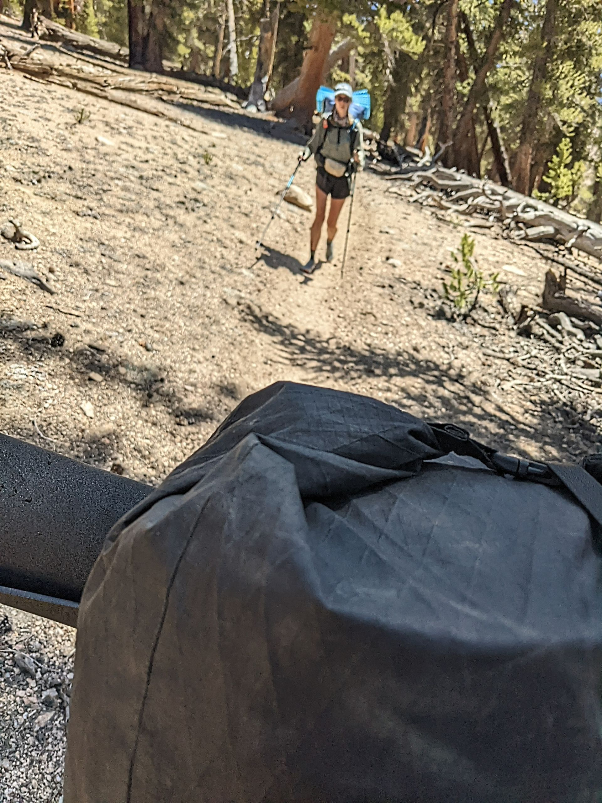
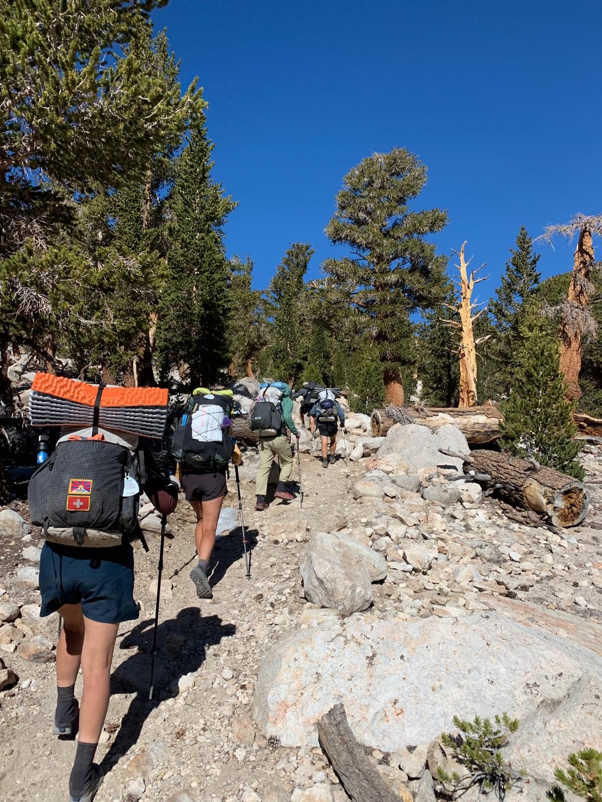
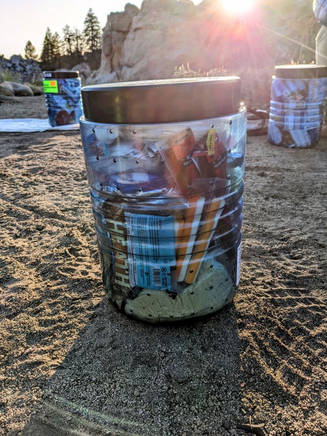
Tag 41: Last night I was woken up by a coyote howling nearby. I took the opportunity to inflate my air mattress, but then realized it wasn't necessary. The new air mattress was definitely worth it. I wake up at 6:00 to pack my backpack, as I have to pack my bear canister for the first time. And packing the bear canister itself is not that easy, but in the end I manage to fit all my food for six days and the backpack is no problem at all.
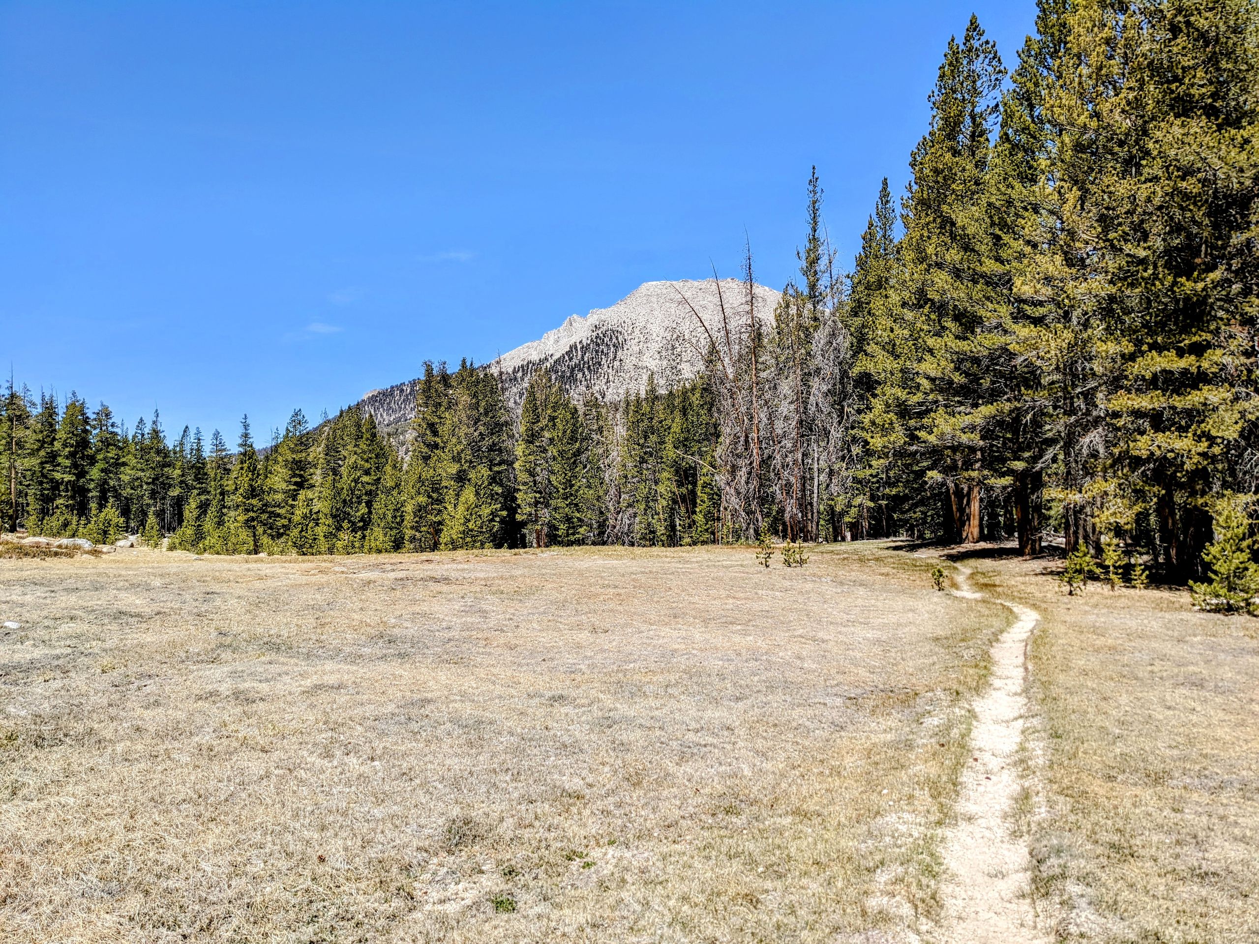
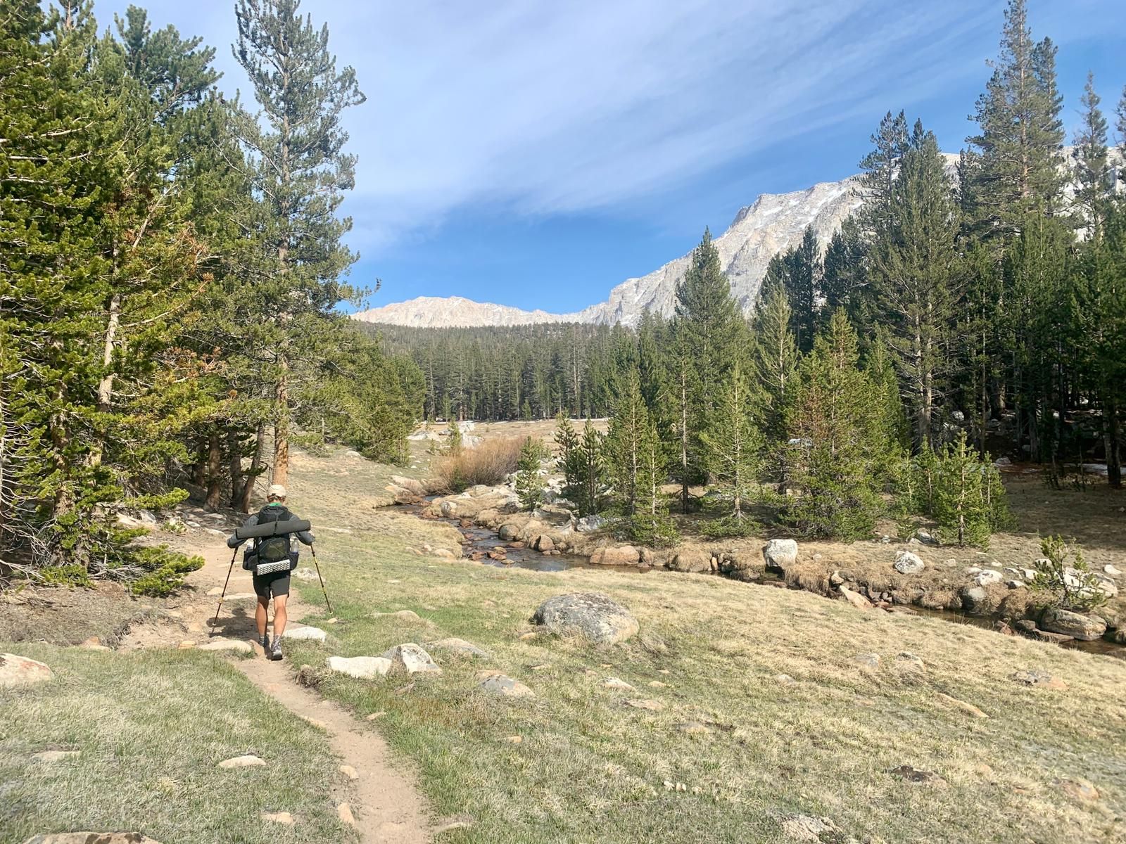
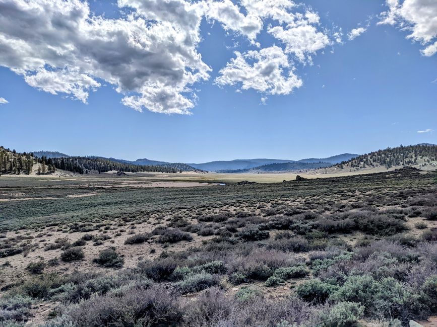
Then it's breakfast time, pancakes, hash browns, sausage, and scrambled eggs. On the terrace of the community store, there is a backpack scale, and I've never actually weighed my backpack properly. Now, with the bear canister, six days' worth of food, and a liter of water, it weighs 14 kilos. I was actually expecting it to be heavier, so I'm very satisfied. The landscape doesn't disappoint and is a nice preview of what's to come. We walk through a long meadow and occasionally through pine forests.
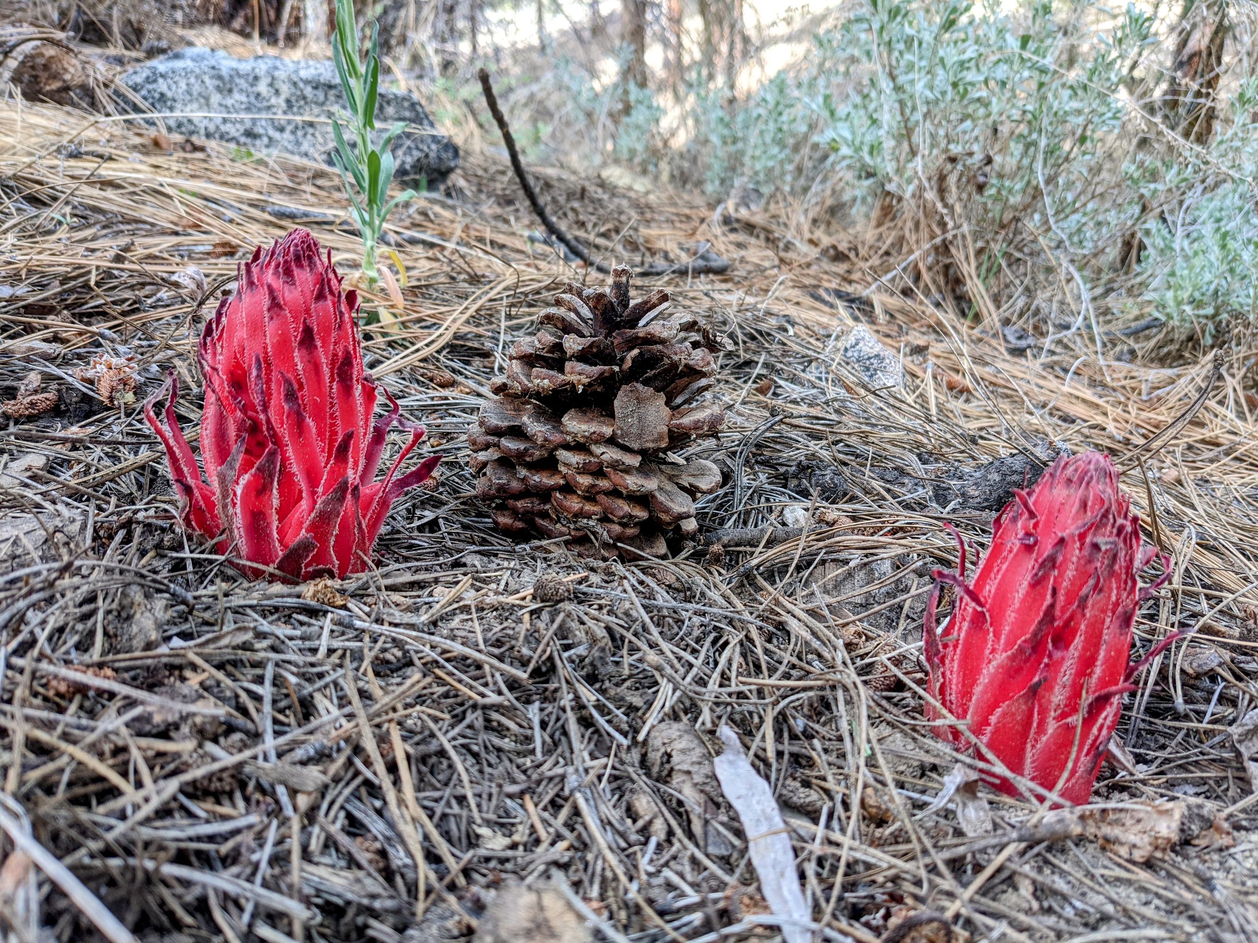
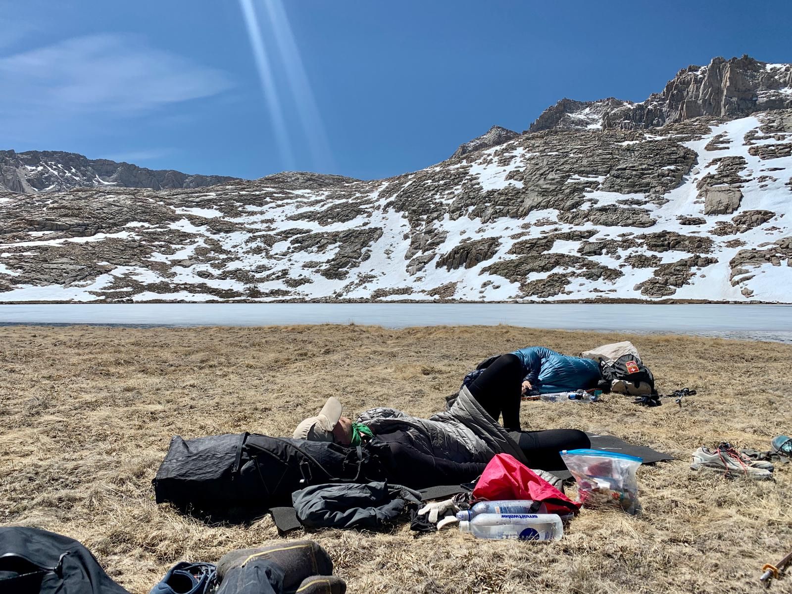
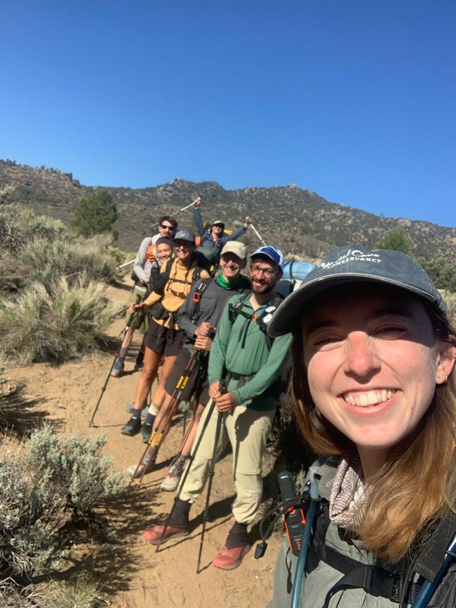
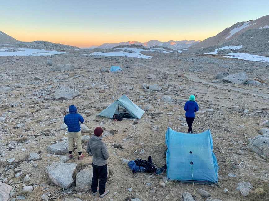
Now that we're with Sorry and Butterfly, there are seven of us, and we start assigning Lord of the Rings characters to each other. I'm immediately assigned Faramir, since we don't have a Boromir and everyone thinks the comparison fits very well. And as we continue walking, I think about it for a while and I have to say, the comparison fits much better than I would like. We have our lunch break at a small river that runs through the meadow. Natalie used to have a thin foam yoga mat for her breaks. But since she also bought a new inflatable foam mat, she no longer needs the yoga mat and was going to put it in the hiker box in Kennedy Meadows. Instead, I took it and I'm a big fan. I used to only have my small sitting pad, which is good enough, but it's different when you can comfortably lie down during the break. Then there's a five-mile uphill climb. We spend the night at 2979 meters, and surprisingly, it's warm because it's not supposed to get colder than 7°C tonight. In fact, apart from detours to towns, we won't be below 2500 meters in the Sierras for our entire time here. So you could consider this section as altitude training. The first day in the mountains was great, and I'm excited for the change because I was really done with the desert towards the end.

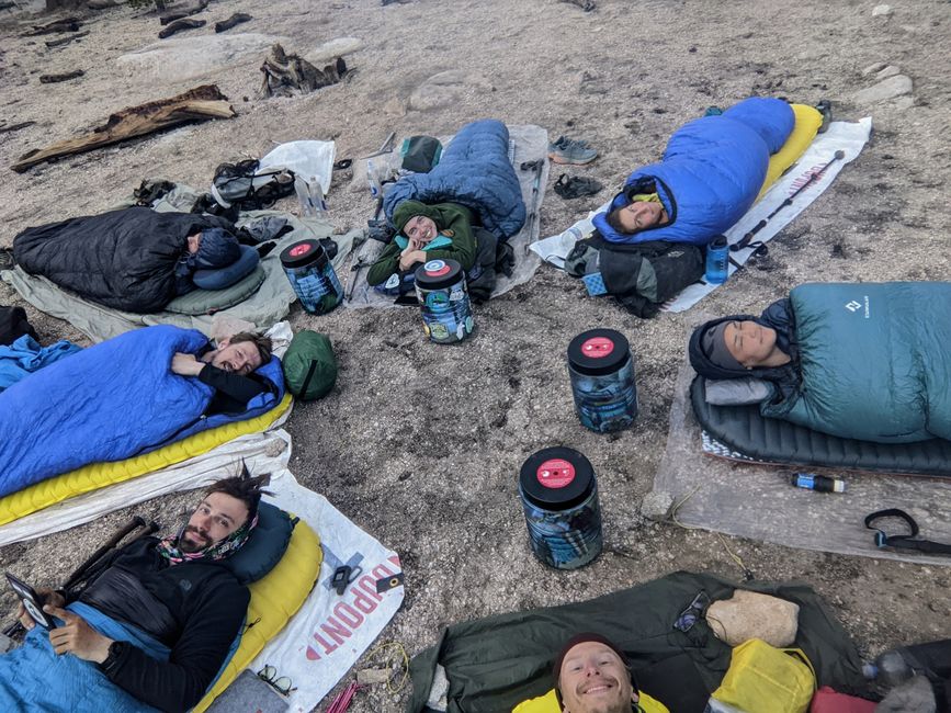
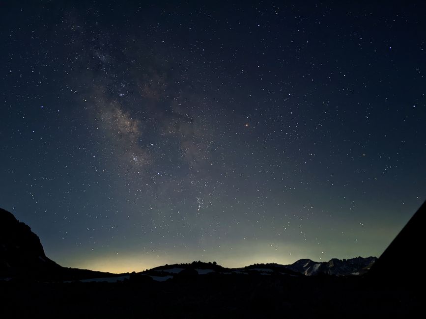
While we're sitting there, a fighter jet flies right over us, does a barrel roll, and dives steeply into the valley. An impressive sight. Other than that, today is fairly uneventful. In camp, we "cowboy camp," meaning we all lie in a circle with our heads towards the center. It must look strange to outsiders, and with our new tradition, meditation, and sleeping arrangement, we're starting to resemble a cult. But we're having an incredibly good time. I'm actually looking forward to tomorrow because it's "Whitney-Eve," the evening before we summit Mount Whitney.
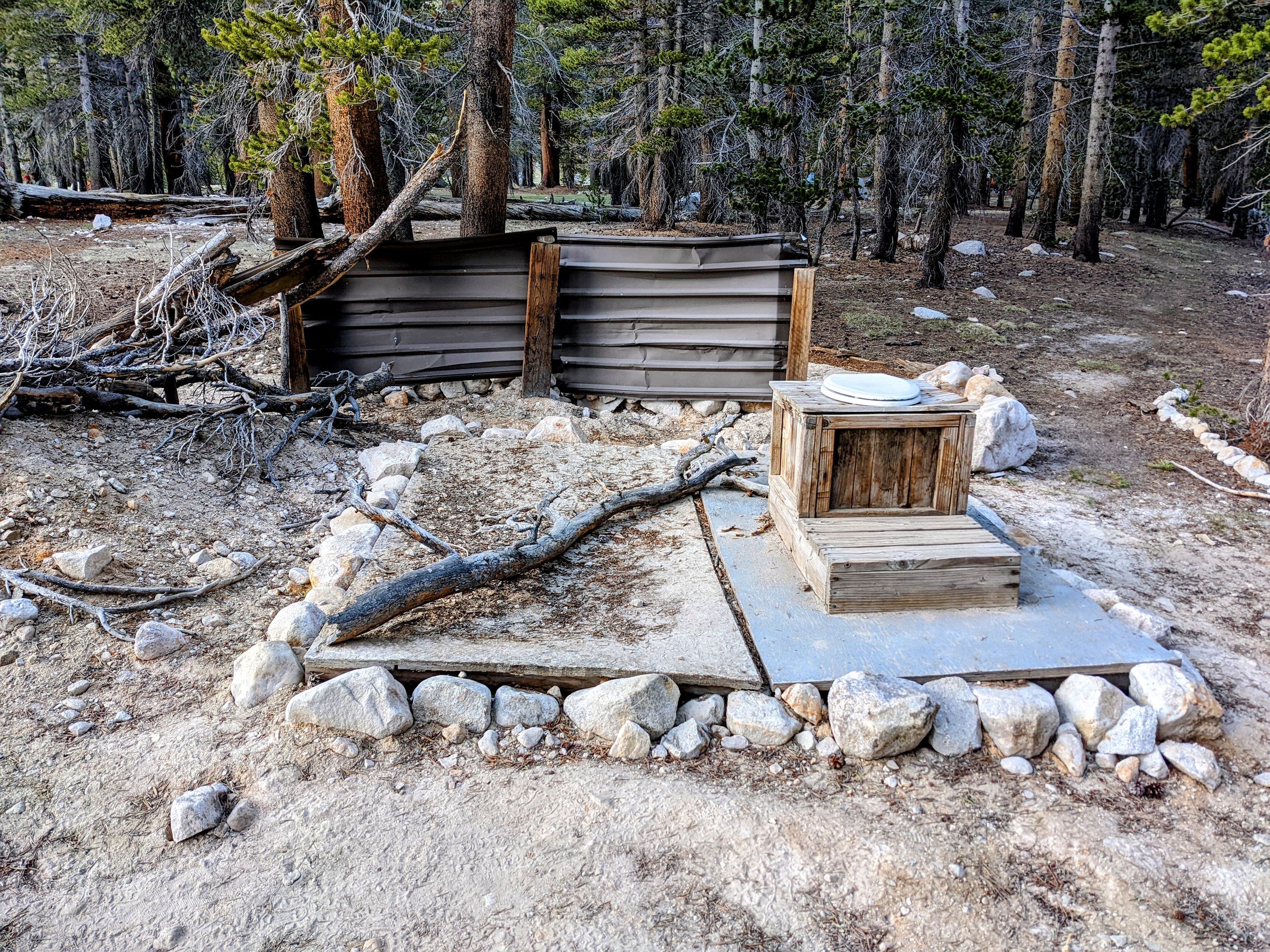
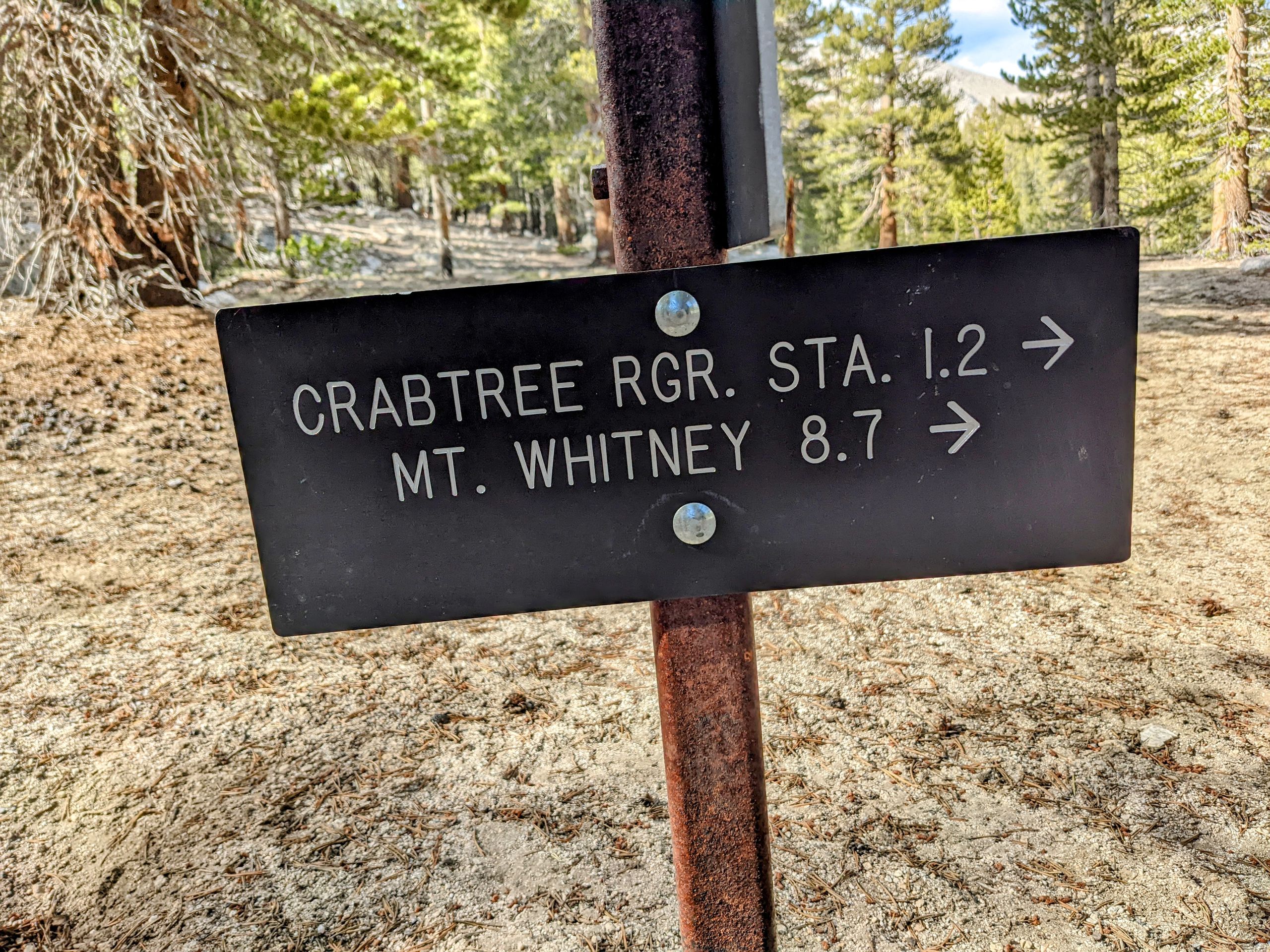
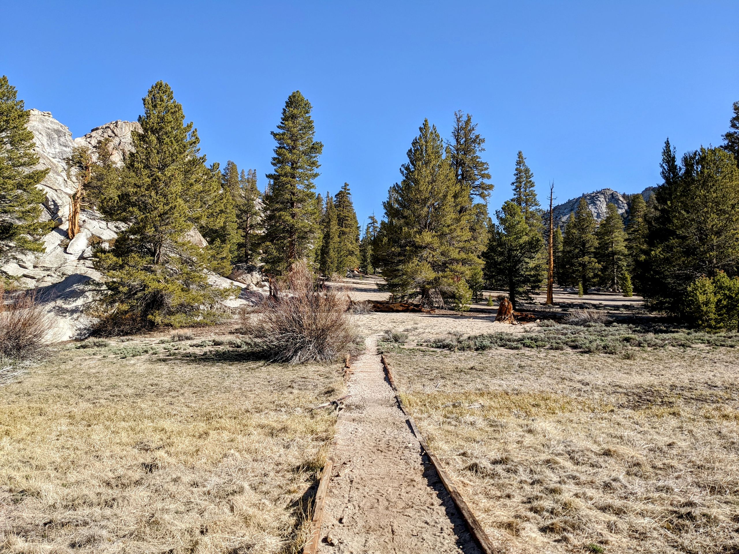
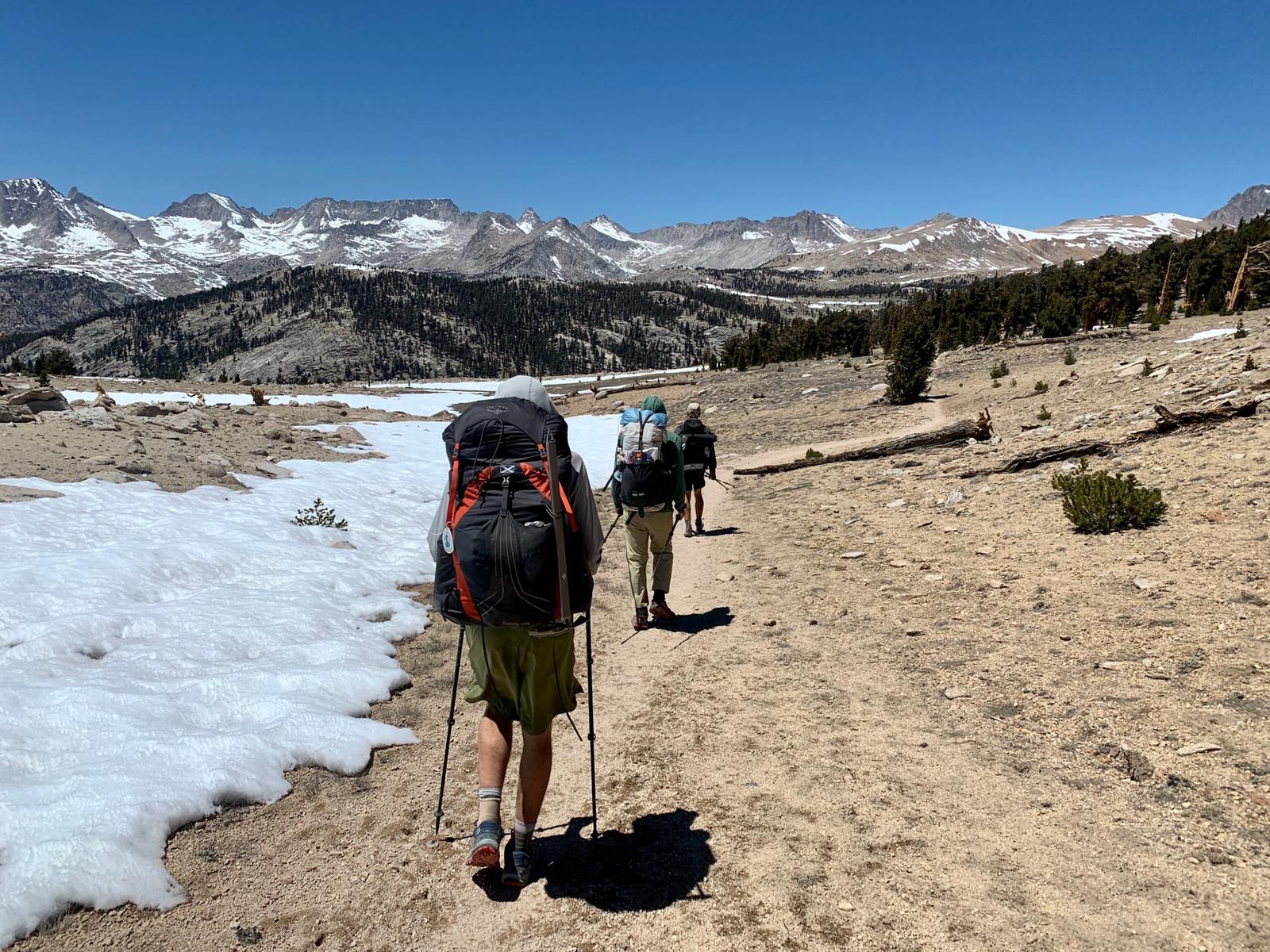
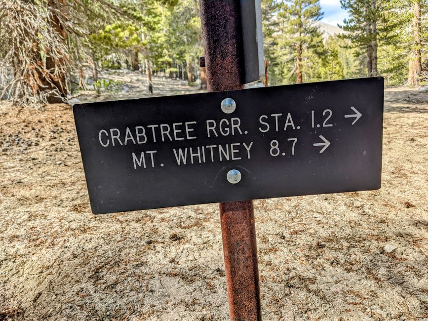
From there, we hike up to the Crabtree Ranger Station, or as I like to call it, the "Mount Whitney Base Camp." It's the last point before Mount Whitney where we are allowed to camp. The camp itself is nicely located, and there are many hikers here, not just PCT hikers, as almost everyone climbs Mount Whitney. Many also spend another night here when they descend from the summit. The camp also has an interesting open-air toilet, which only has minimal privacy towards the camp but is otherwise completely open.

Since we want to be on the summit for sunrise, we will start at 1 am. The camp is at an elevation of 3243 meters, and the summit of Mount Whitney is at an elevation of 4421 meters. So we have to gain 1178 meters in elevation over a distance of eight miles (about 13 km). This will be the highest mountain I have ever climbed. Mount Whitney was one of the highlights I was most looking forward to during my planning, and tomorrow is the day. I'm full of joyful anticipation and can't wait to start hiking. You can probably tell from my face that I'm happy, as Warrior asks me if I'm okay because I look so happy. I'm particularly happy for Gumby because it's his birthday tomorrow. What a great coincidence to start the PCT and climb this mountain on your own birthday. After dinner, there are still some preparations to be done, as we can leave most of our stuff in camp. That means tomorrow we'll be hiking with lighter backpacks, which should make the whole thing much easier. And now I should try to sleep, as it's already 8 pm, and I have to get up at 12:30 am.
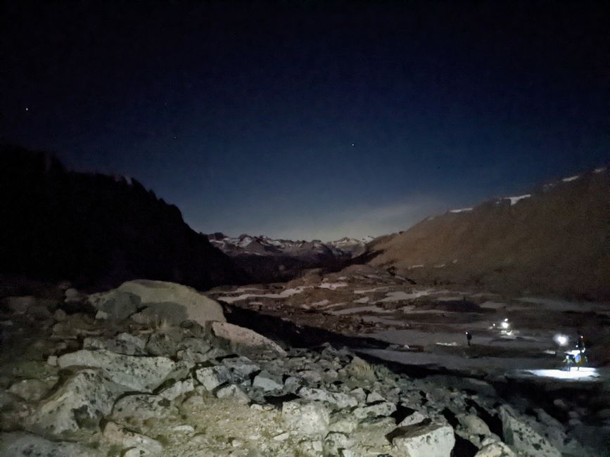
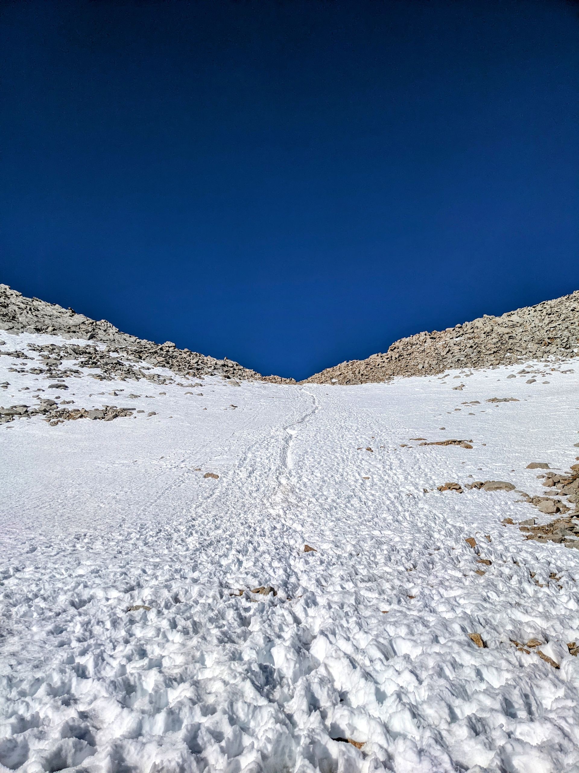
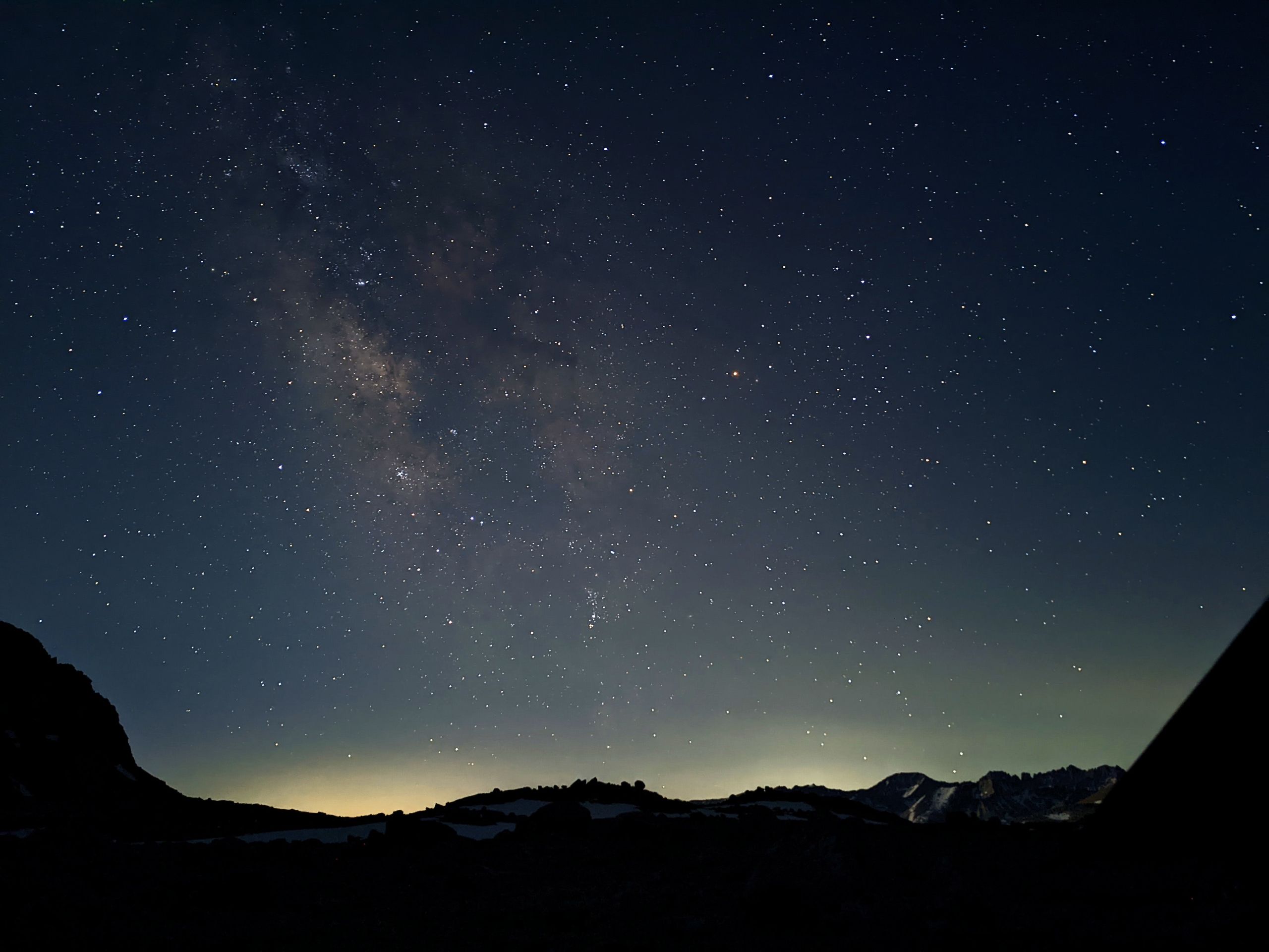
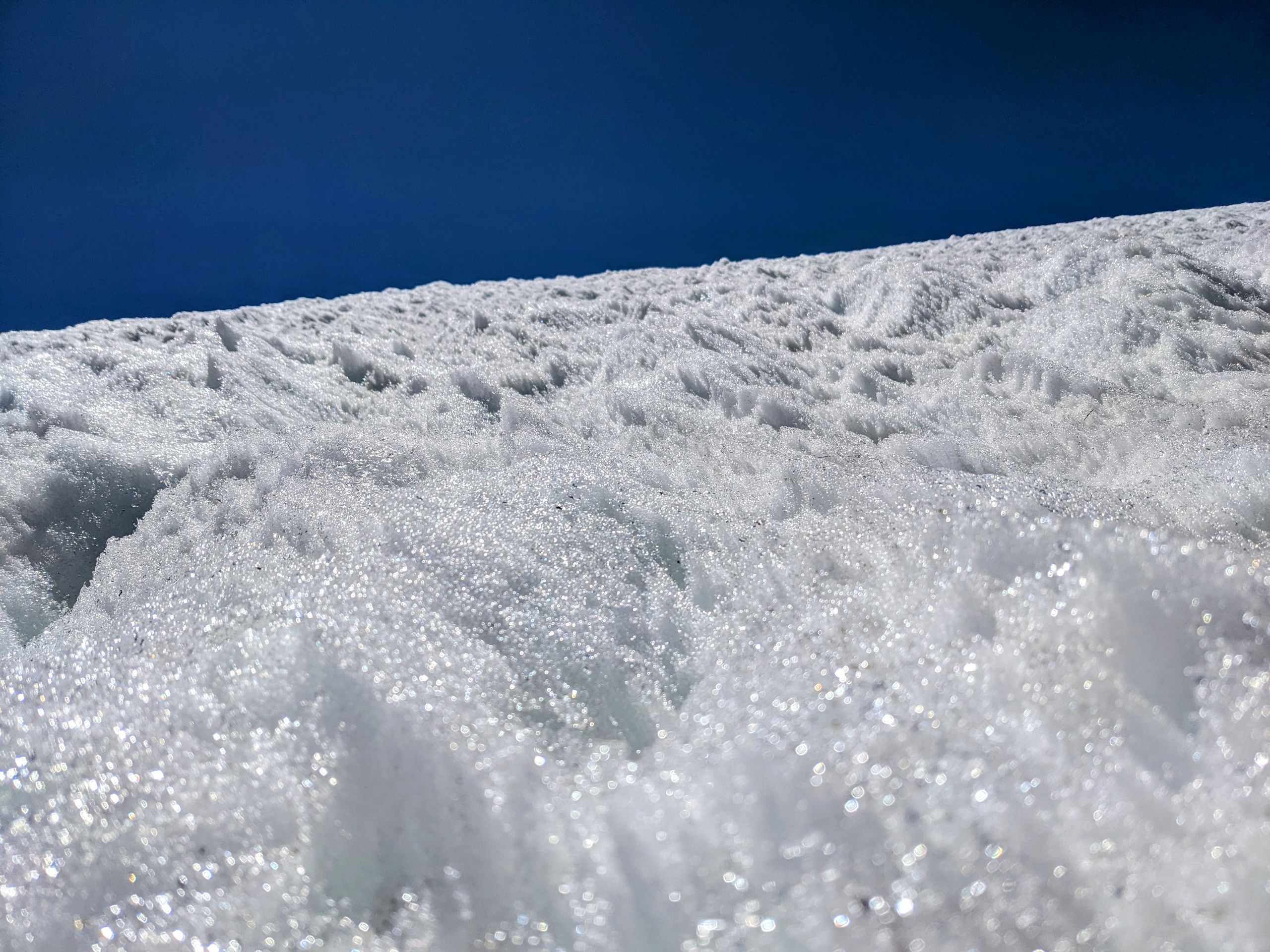
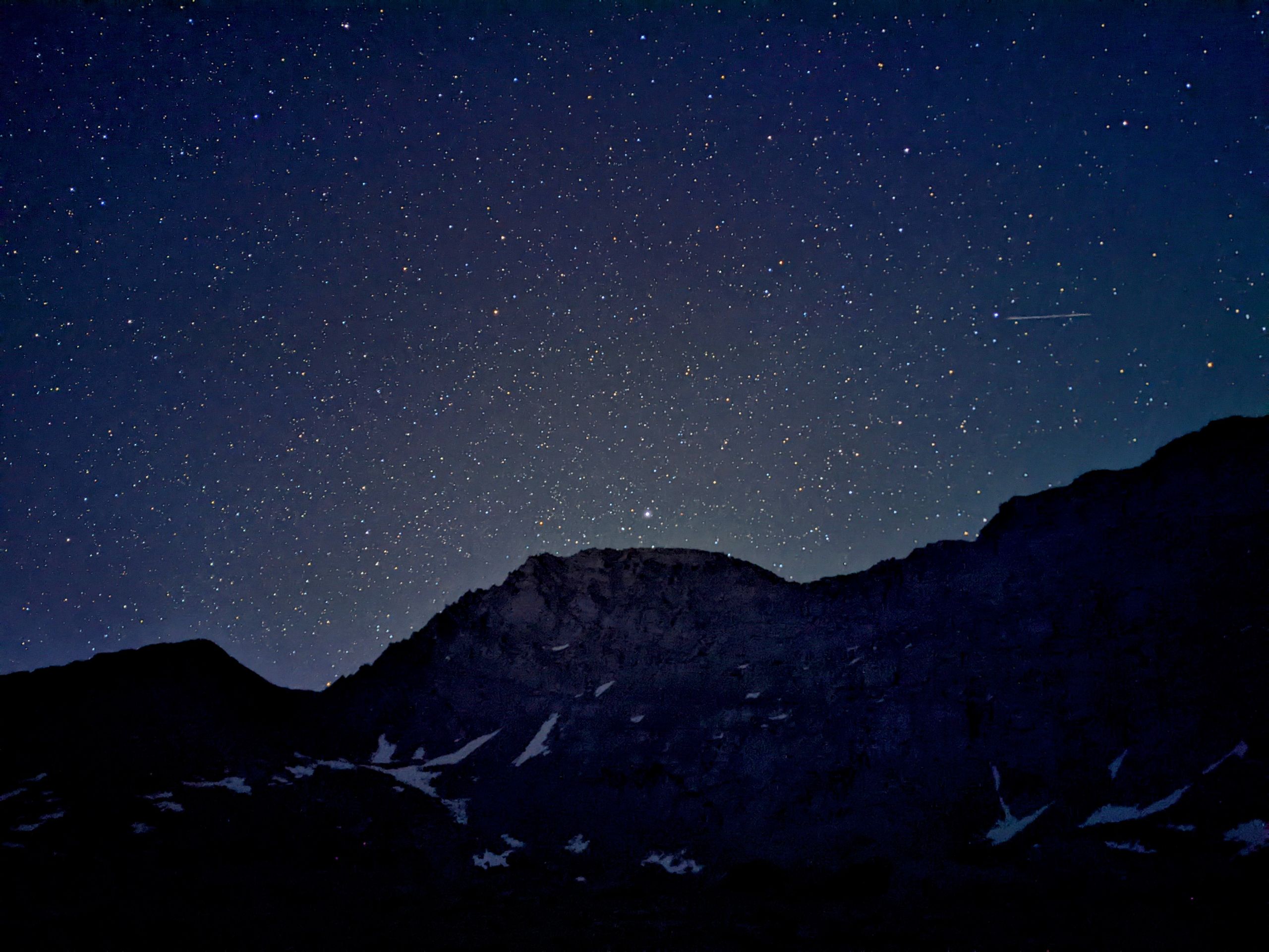
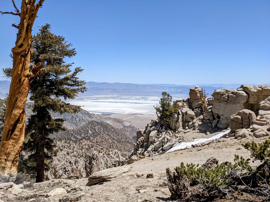
In the dark, we can hear the rushing of Whitney Creek, but we can't see it. There's also a lone frog croaking. We can see the headlamps of other hikers in the valley and on the mountainside. Shortly after Guitar Lake, 3.4 miles in, the actual ascent to the summit begins. So far, everything is going well, and I'm making good progress. The trail is not too steep and winds up the mountain in switchbacks. I'm not sure at what elevation, but at some point, I feel the effects of the altitude for the first time. First, my heart rate increases, and it feels like I have a huge drum in my chest. I could easily count my heartbeats. But everything is still fine, even though it has gotten noticeably colder. I try to keep an eye on the others. After gaining more elevation, a strong, cold wind suddenly starts blowing. I put on my jacket and gloves, but my hands still get cold. After 6.2 miles, I reach the Mount Whitney Trail Junction at 4089 meters. It's so cold that I can't stand there for long, and the water in my bottles is freezing. From now on, I don't think about the others anymore. I'm too focused on myself. Due to the altitude and the strong wind, I feel like I'm not getting enough air and I have to stop frequently to catch my breath and calm down. The trail is a narrow, rocky band along the mountainside, and because of the wind, I have to concentrate hard to make sure I don't make a wrong step, which becomes increasingly difficult.
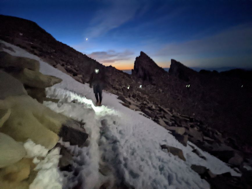
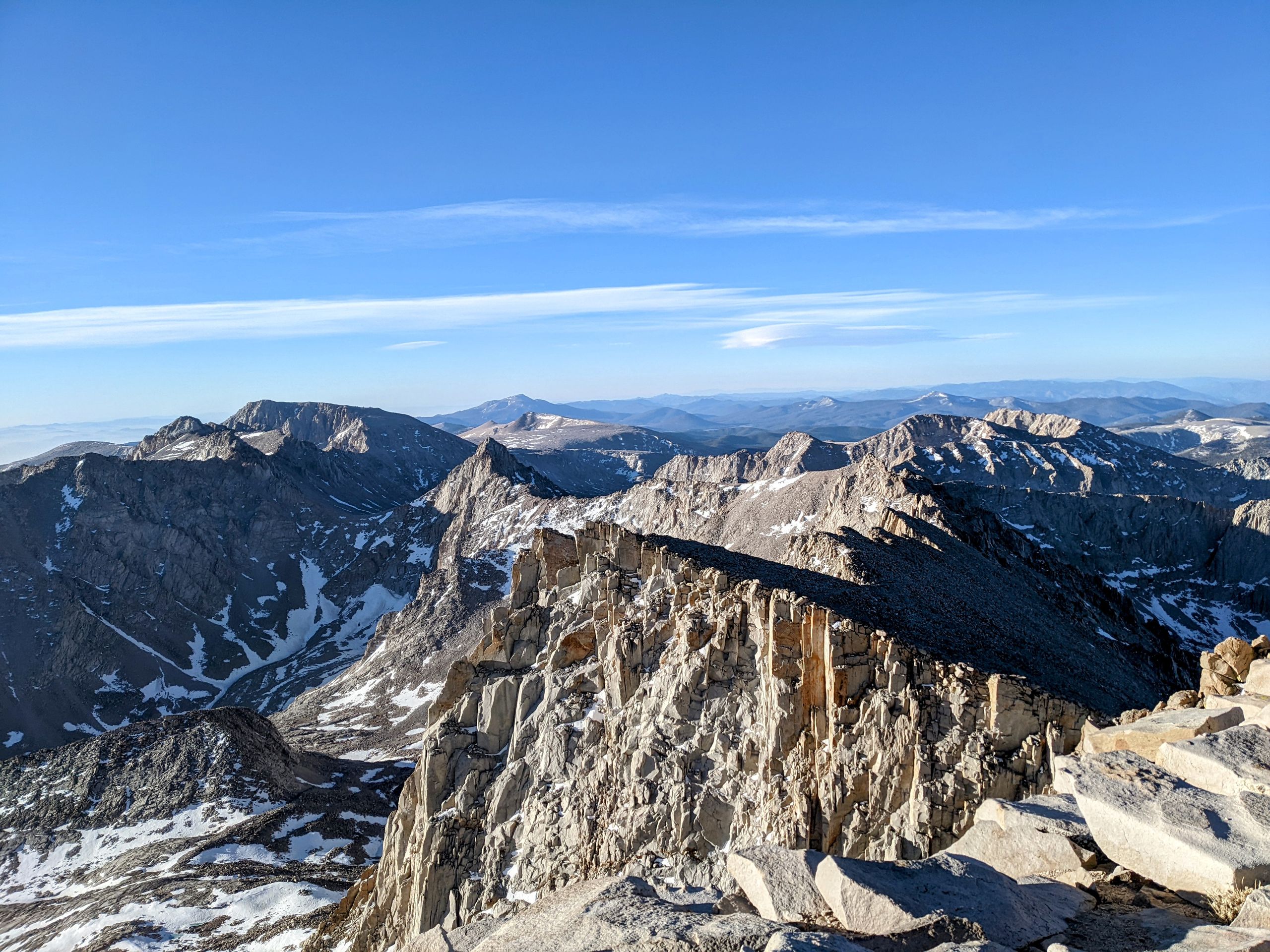
At some point, I cross a snowfield, and from what other hikers who were on the summit yesterday have told me, I know I'm almost there. The final stretch to the summit is with a tailwind, and I'm pushed up the mountain at a crazy pace. At the top, I'm greeted by cheering hikers wrapped in their sleeping bags, trying to stay in the wind's shelter. We also brought our sleeping bags because we wanted to enjoy the sunrise all cozy, drinking hot chocolate or coffee. Although it's not yet sunrise, it's just starting to dawn, we can't think about anything else. I find a somewhat sheltered spot and wrap my sleeping bag around me as best as I can in the wind. The summit and the surrounding mountains are beautiful, even though it's hard to fully enjoy the view.
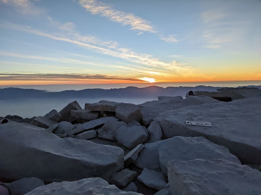
As the sun rises, the others gradually arrive. Hasbeen and Warrior are the last to arrive, just shortly after sunrise. The altitude made Hasbeen feel sick during the last 1.5 miles. Like penguins, we huddle close together, which, along with the rising sun, makes it somewhat bearable. We have to constantly hold onto our sleeping bags because of the wind, which twice nearly blows them away.
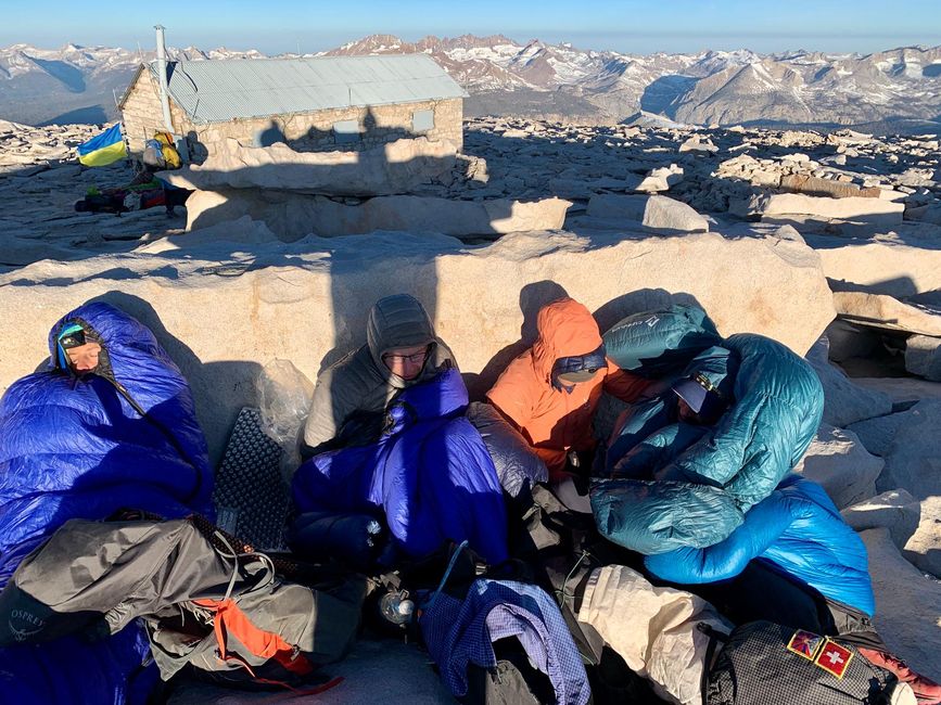
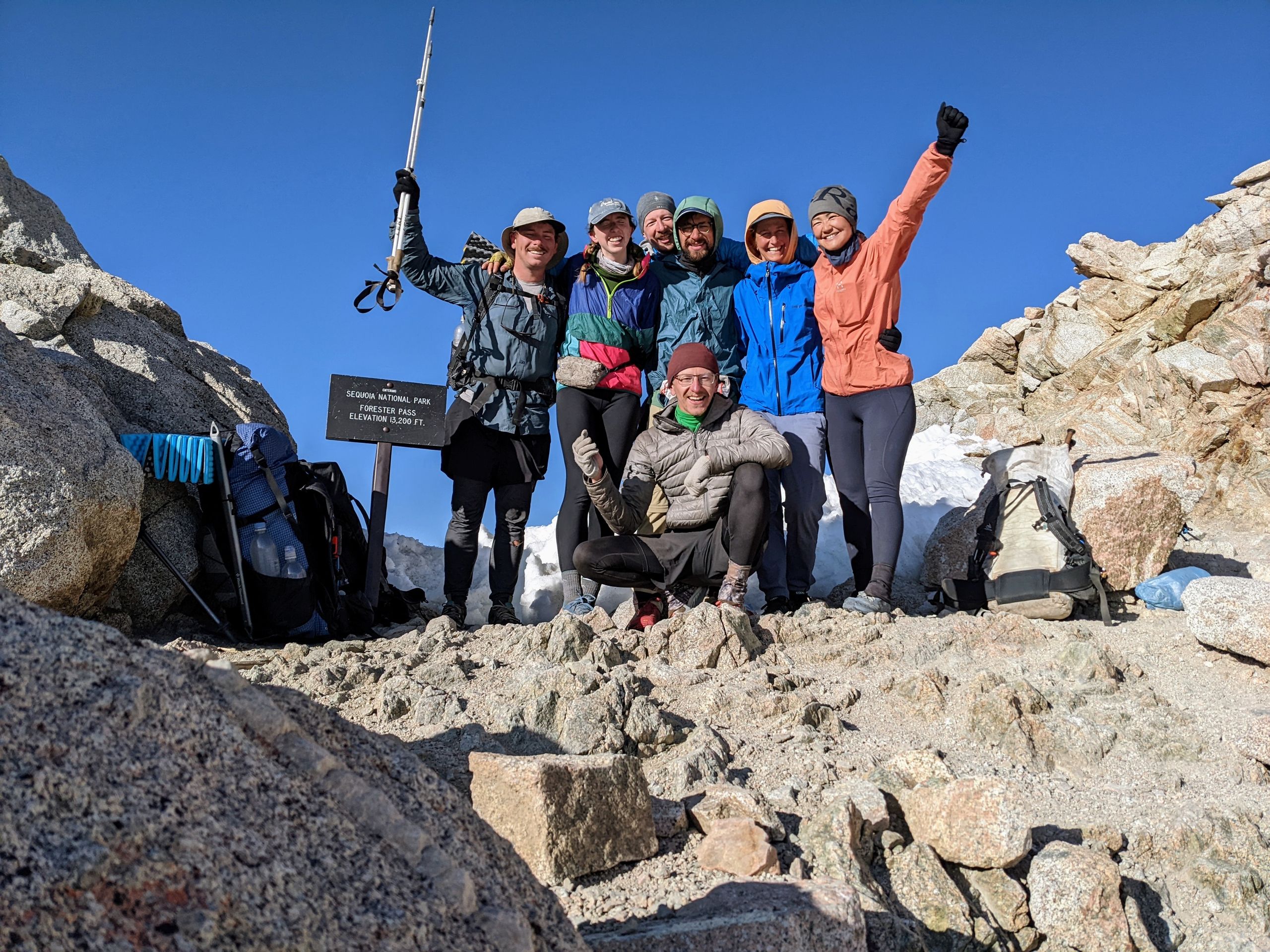
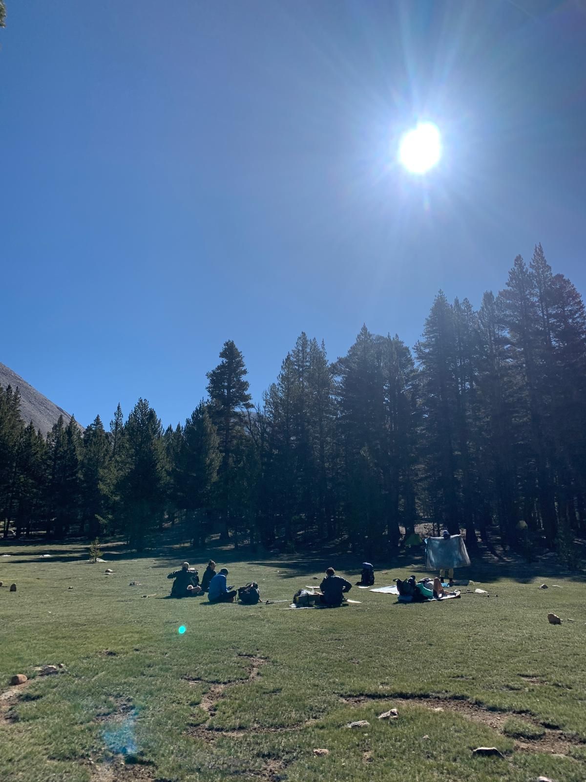
After a short time, we take the obligatory summit photos and then start the descent. It's interesting to see the path we took in the dark and how steep it is in places. Looking back, it was somewhat crazy, especially with the wind. During the descent, I start coughing, and I'm still cold, and the wind keeps blowing large snot flags horizontally from my nose. I'm exhausted and feel guilty for not checking on the others more, but I couldn't think about it. This ascent unexpectedly pushed me close to my limits, and I briefly fight back tears. During the descent, we meet hikers who started later in the morning, and it starts getting warm again, especially when we get back into the wind shelter of the surrounding mountains. When we reach Guitar Lake again at 9:30, we lie down by the icy lake for two hours, eating and sleeping.

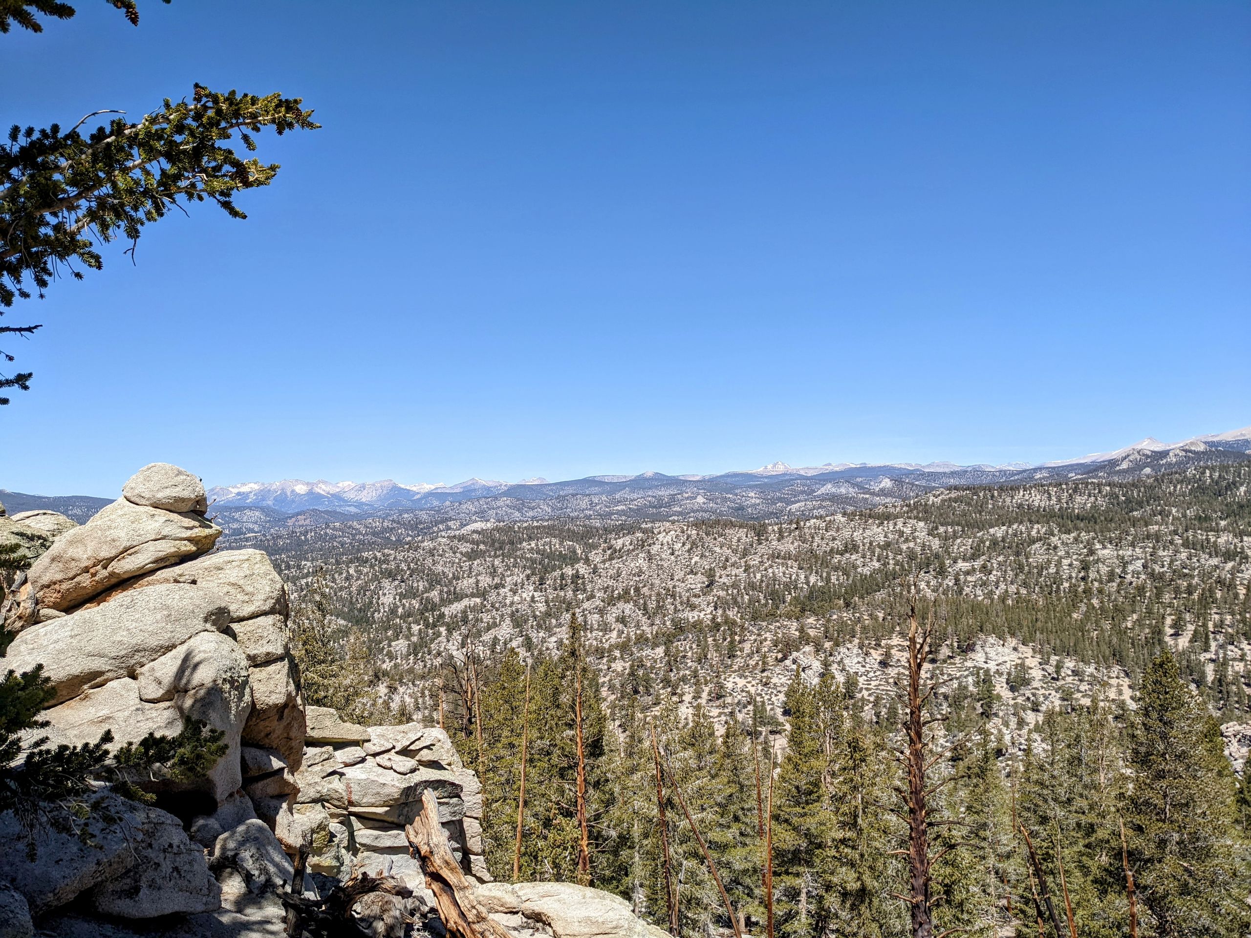
After that, we cover the last stretch to camp, just to repeat the routine of eating and sleeping. But before that, we congratulate each other on the successful summit ascent. Today was one of the coldest days recently on the summit, and by far the windiest. In the past few days, it was almost windless. This ascent was one of the hardest things I've ever done, and I'm incredibly proud of myself and the others. We are an incredibly strong group, each and every one of us. This day will certainly occupy my mind in one way or another for a while. And despite all the hardships, I would do it all over again.


Tomorrow will be a fairly long day. First, we hike 10.5 miles on the trail, then we take an 8-9 mile detour via Kearsarge Pass to reach a trailhead from where we can hitchhike to Bishop. There, we will treat ourselves to a well-deserved zero day. Many hikers have spoken enthusiastically about Bishop, and even Sorry, who has been to Bishop before, can't stop raving about it. So I'm very excited, especially for the town food.

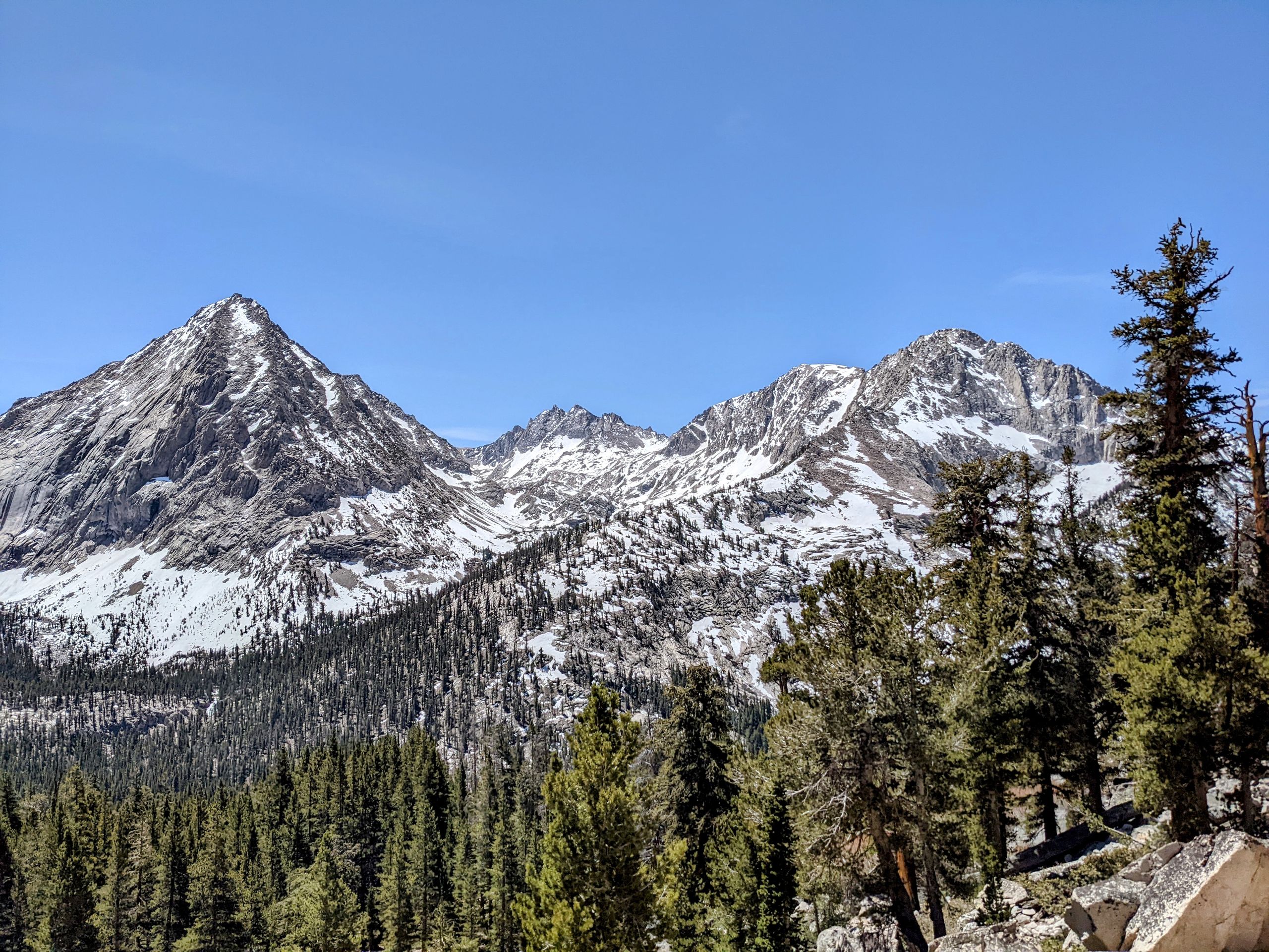
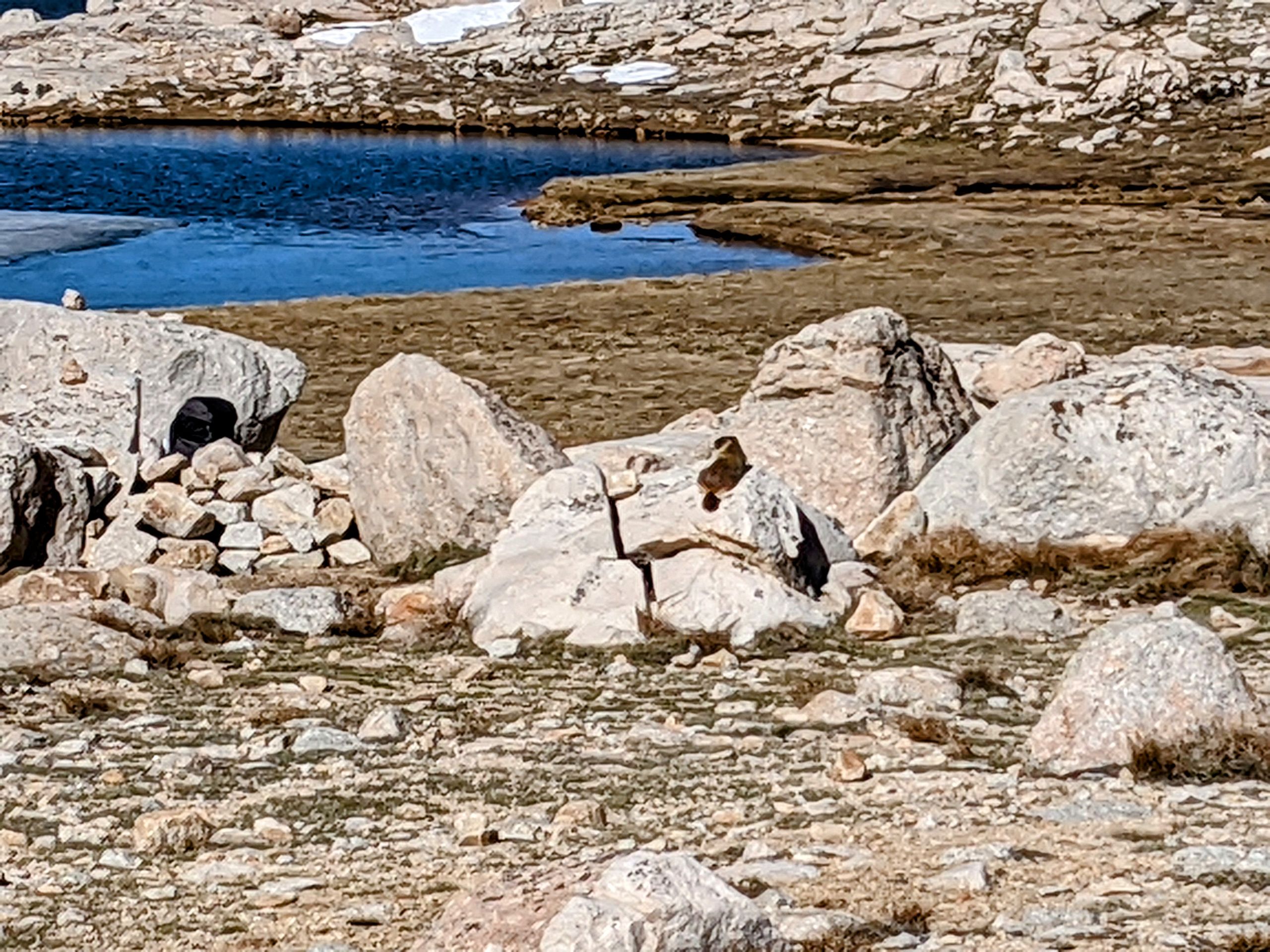
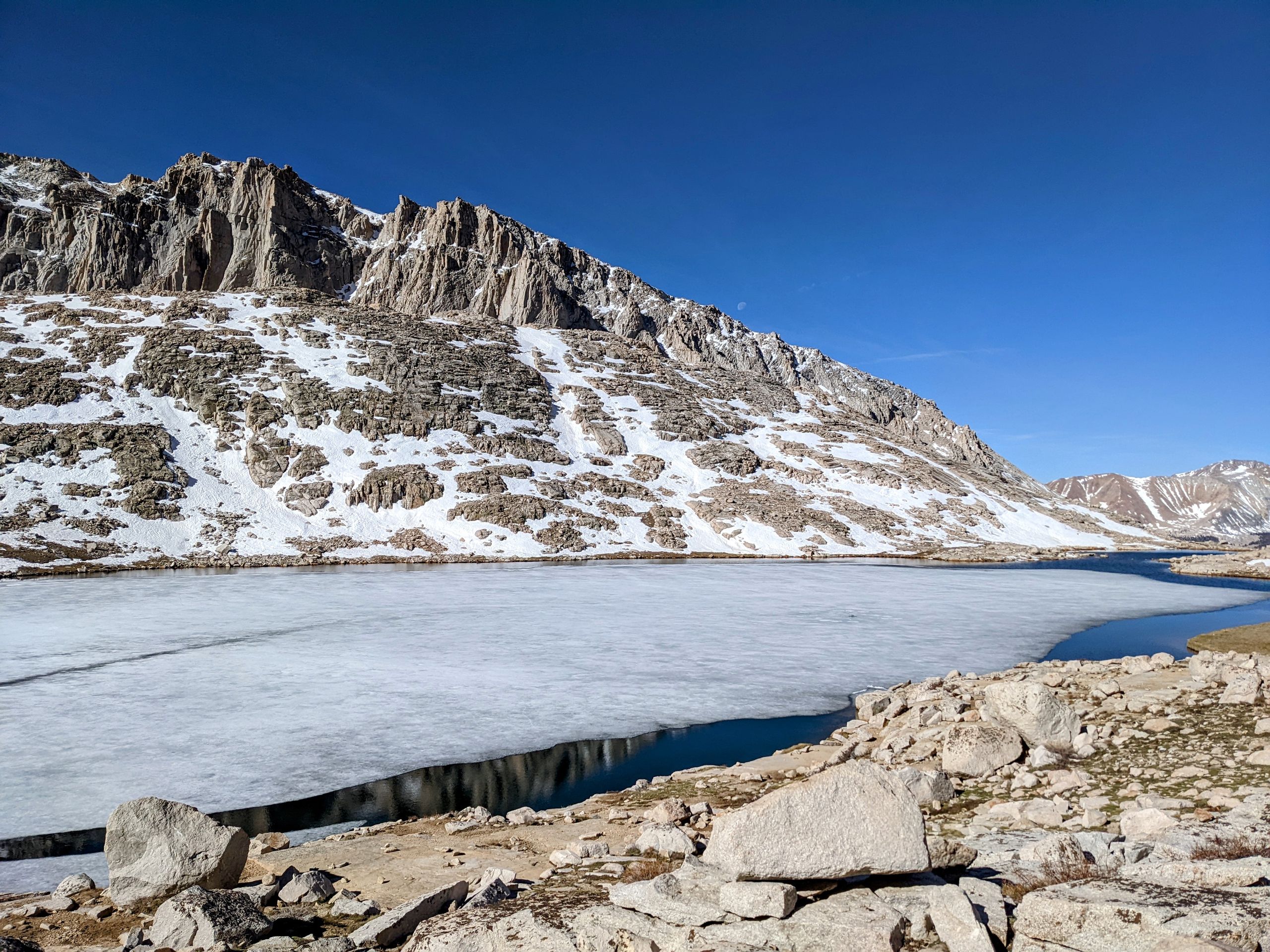
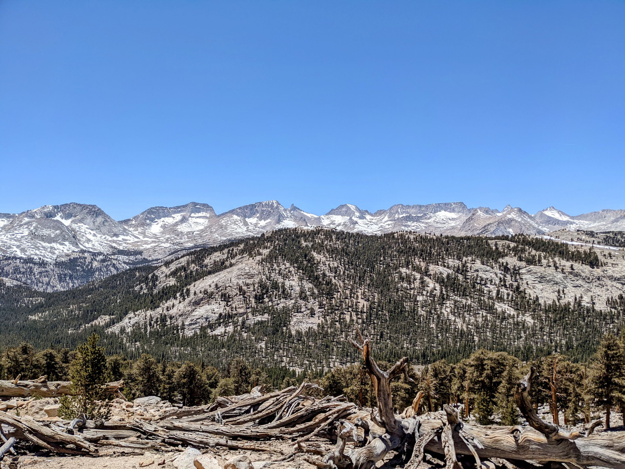
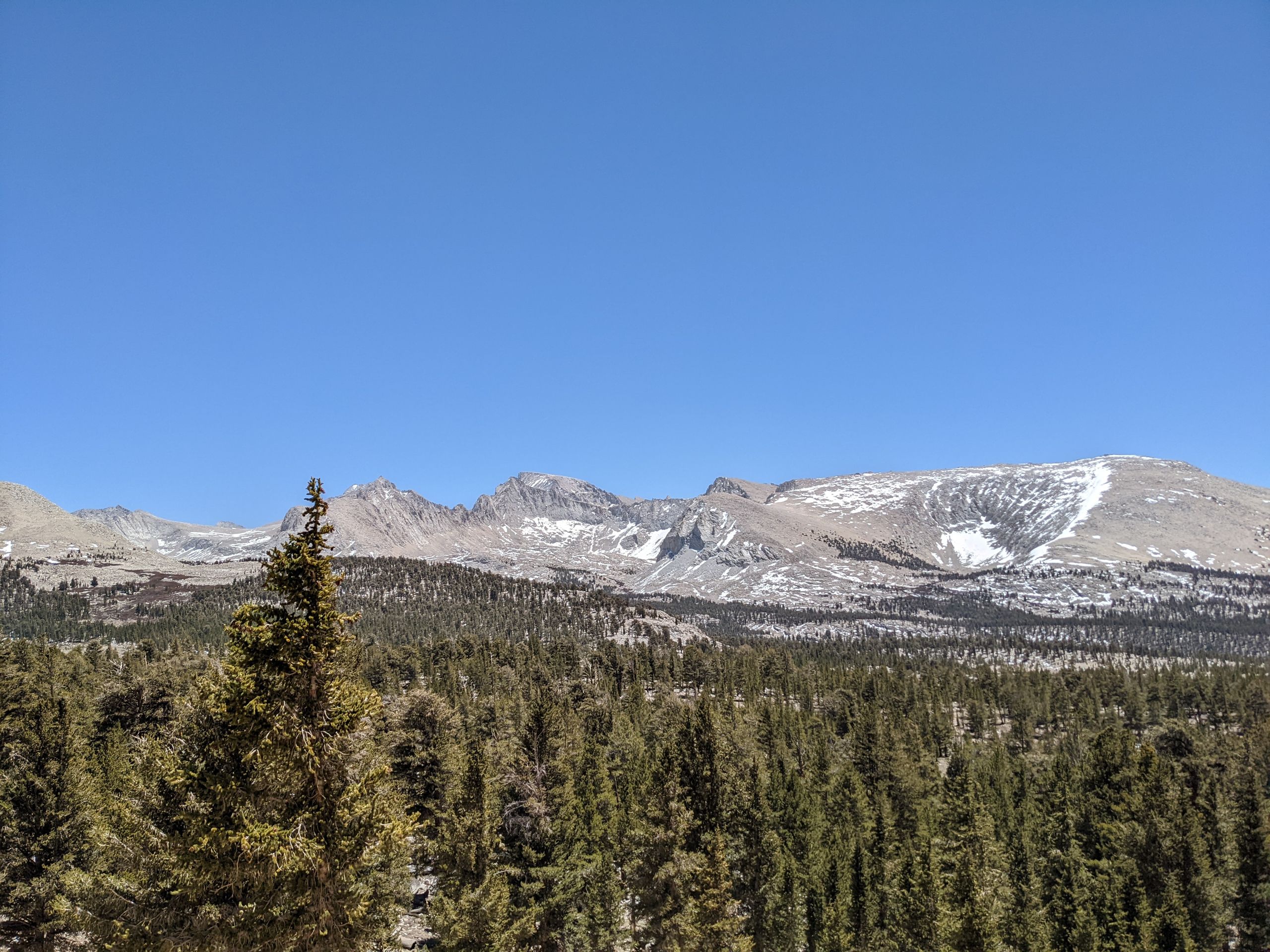
During the descent, we are rewarded for our decision to cross the pass in the morning. We come across holes in the snow where other hikers have sunk up to their hips, while we can just walk over it. We slide down a small slope on our butts twice. It's surprising how different the Sierras are on the south side of Forester Pass compared to the north side. South of the pass, it's still very dry and desert-like, while north of it, there's water flowing everywhere and there are still some snowfields, although the amount of snow is too little for this time of year.
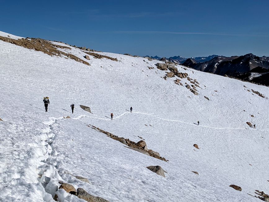
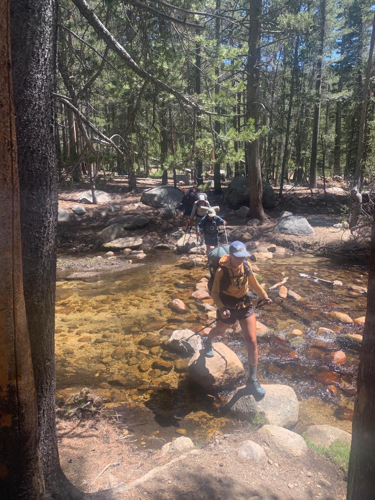
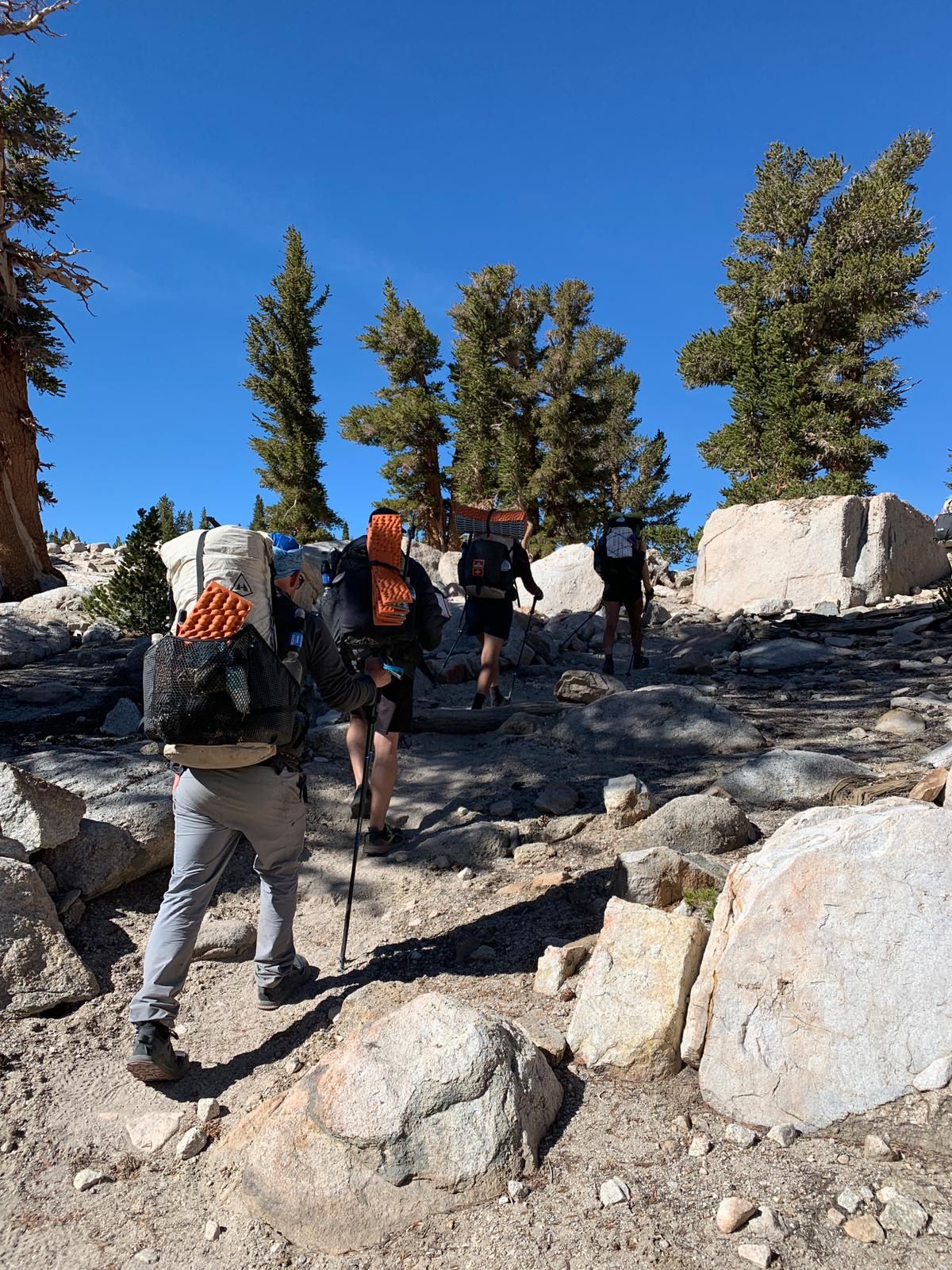
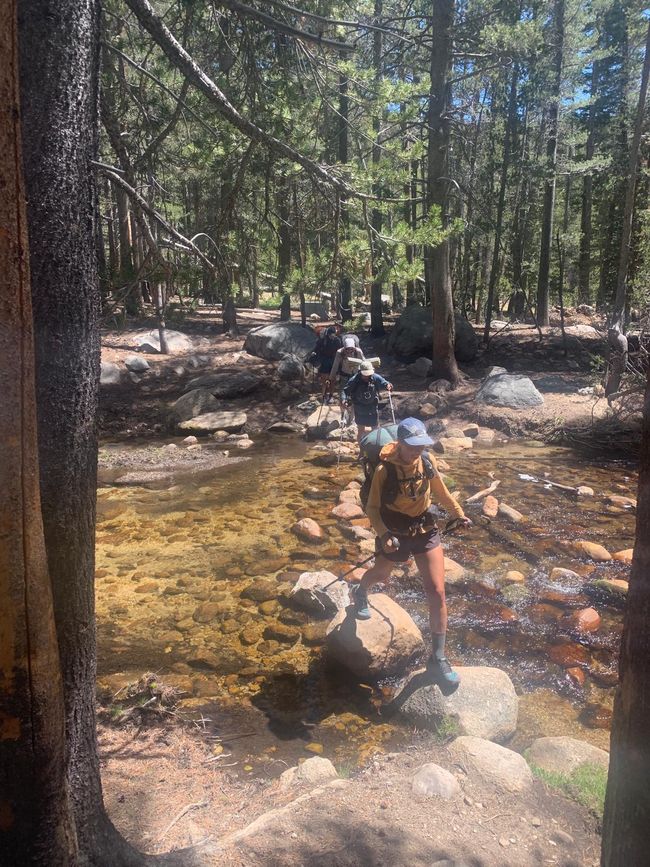
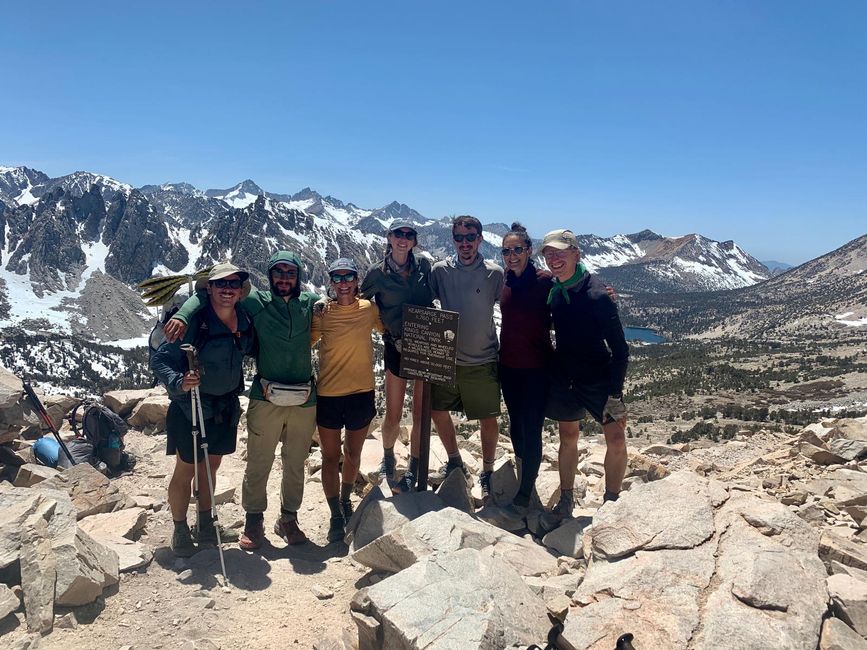
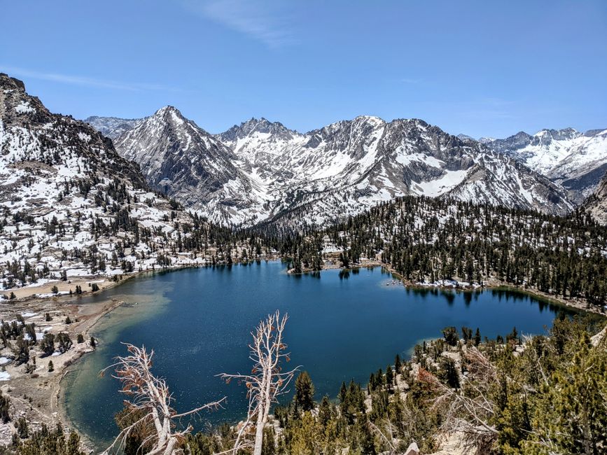
In the afternoon, we have our first slightly challenging stream crossing. While the others already crossed the river using a log slightly above the trail, I wait for Warrior. When she arrives, I see that Hasbeen is already on the other side, while the others have continued hiking. We easily cross the river on a log. It's ridiculous how if the log were on the ground, I could run along it, but when it's over a river where I definitely don't want to fall in, my legs tremble. When we reach the other side, I see Hasbeen disappearing into the trees. We climb up a small rock and find the trail again from there. We continue hiking. Twenty minutes later, my InReach beeps. It's a message from Hasbeen, who is still at the river. Apparently, he didn't realize that we had already crossed and we overlooked him when we continued hiking. I reply that we're already ahead and walk towards him. Understandably, he's a bit annoyed because he was worried and crossed the river four more times to look for us. But we quickly resolve the situation. We keep hiking and encounter an unpleasant part of the Sierras. To reach the next trailhead, we have to take a 7.5-mile detour via Kearsage Pass and descend almost 800 meters just to follow the same path back to the trailhead after our town visit. But at least the pass is very beautiful.
From the trailhead, we hitchhike in groups first to Independence and from there to Bishop. I take the first hitch with Butterfly, and we're picked up by a friendly couple with their dog, whom we had already passed on the way to the parking lot. In Independence, Sorry joins us, and we're given a ride by a hiker from Bishop who we met on the trail yesterday. I don't know if it's because of the rapid change in altitude or the exertion of the past few days, but since we're in the valley, I'm incredibly tired. And it's really hot down here, we're back in the desert. In Bishop, we had originally planned to stay at the Hostel California, like almost all hikers do. But since there aren't enough beds available, we go to a nearby hotel instead. And then we head to a burger joint. We've been talking about the food in town for days because with a six-day food carry in a bear canister, there's no space for extras. I had my last Cliff Bar at Kearsage Pass this afternoon, so we're all very hungry. The burgers and milkshakes are really good. After that, we go back to the hotel to shower and then to a local brewery for a beer and a snack. Back at the hotel, we go straight to bed because now I'm not only full but also incredibly tired.
Tag 47: The day in Bishop is a typical town day, laundry, resupply, and eating. The town is nice, and it has everything for outdoor enthusiasts, but I wouldn't call it hiker-friendly like Wrightwood, for example, where the locals were genuinely interested in the hikers. Here, it feels much more business-like. In the afternoon, we move to the Hostel California, which is really cool and reminds me a lot of the hostel in San Diego. For dinner, we were invited by Beach Day, the hiker who gave us the second hitch, and his roommate. They made a chickpea curry for the seven of us, and it's incredibly delicious. It's another one of those incredible community moments, and we have a really nice evening. And despite this day in town, I'm also looking forward to getting back on the trail tomorrow.
Agsubscribe iti Newsletter
Sungbat
Dagiti report ti panagbiahe USA