
Revelstoke, Yoho and Banff National Park, Icefields Parkway
Ebipụtara: 15.09.2019


Debanye aha na akwụkwọ akụkọ
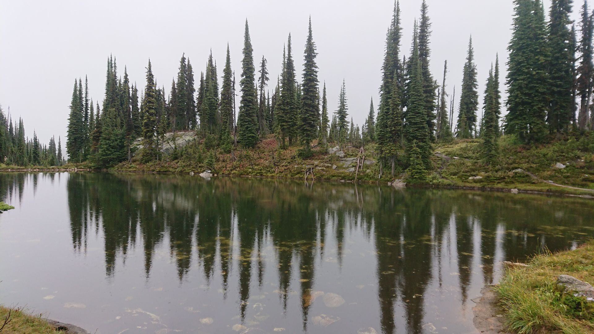
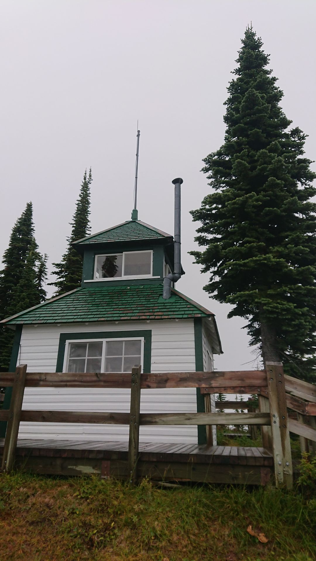
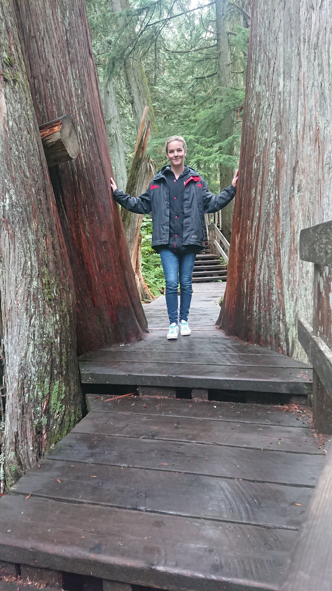
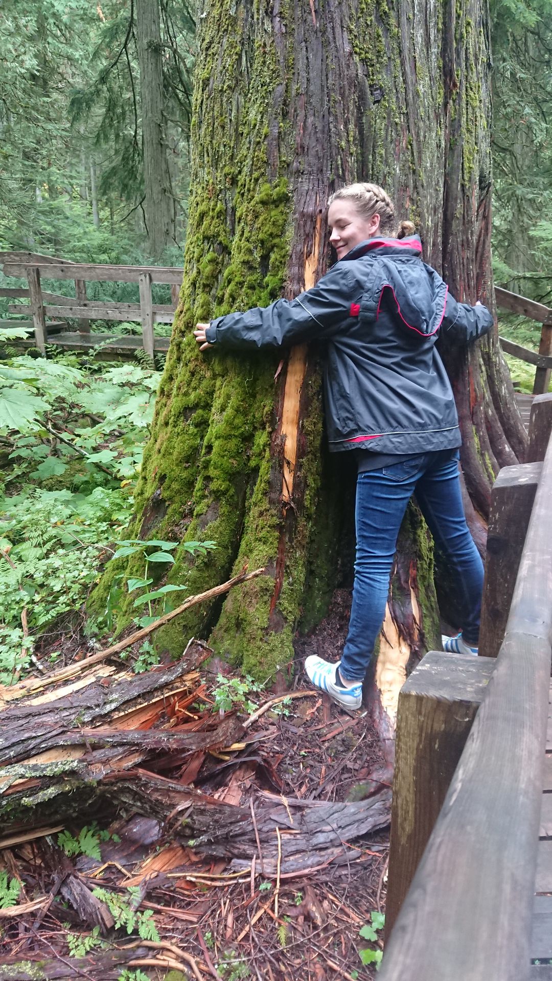
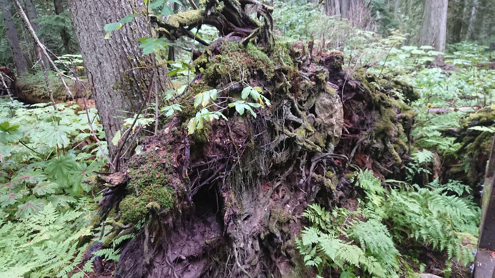
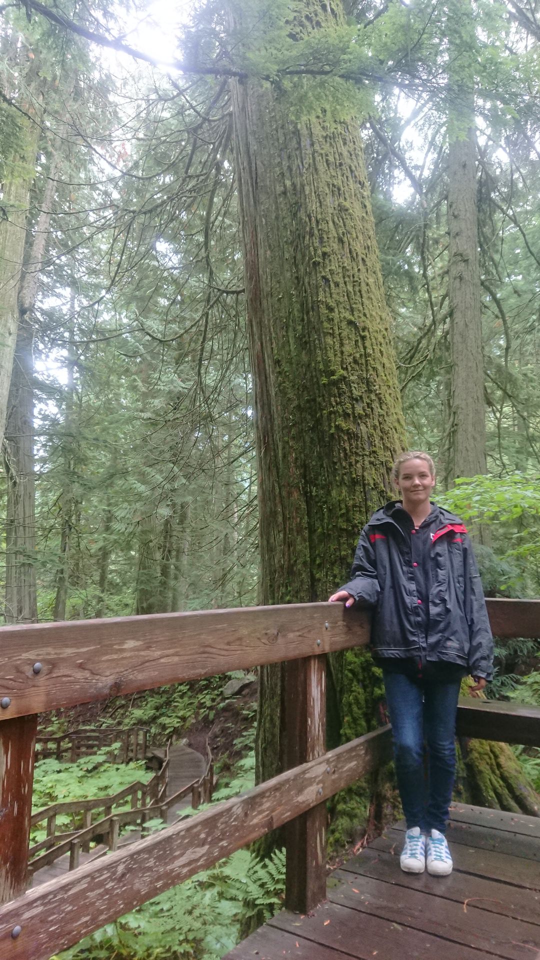
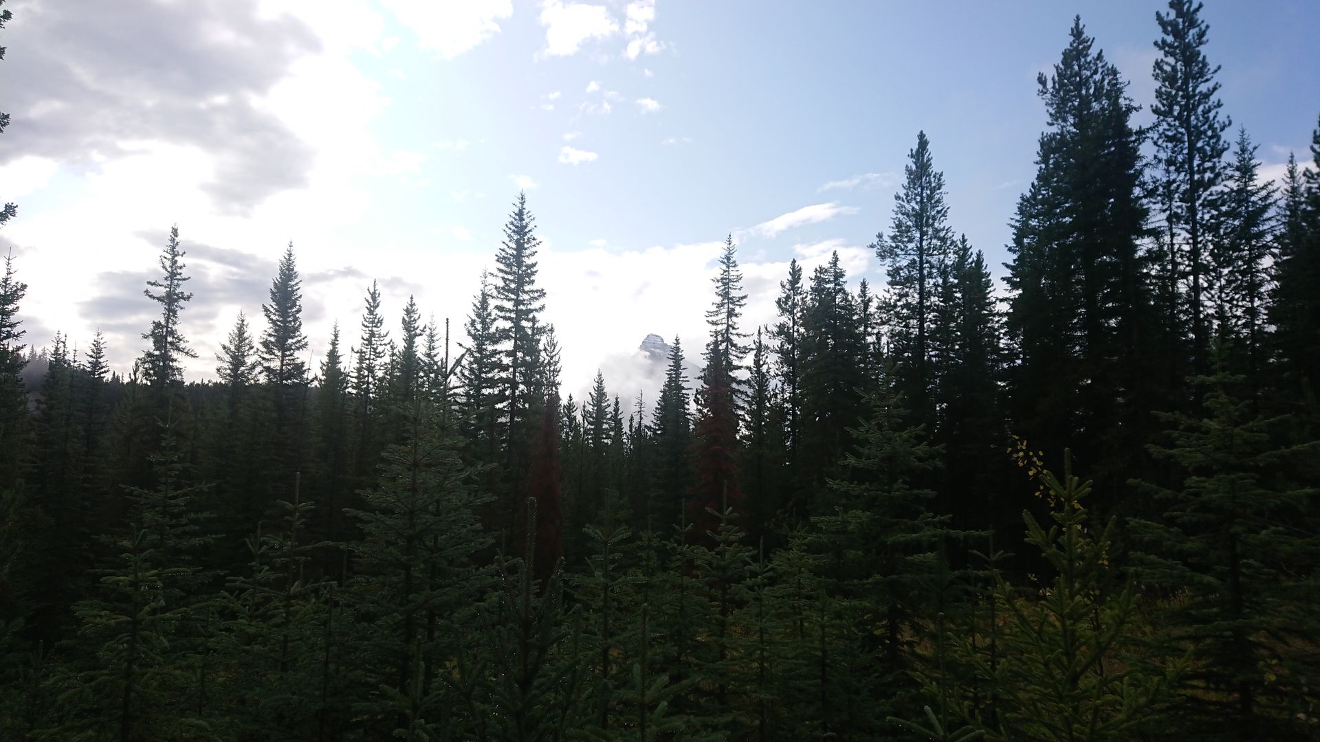
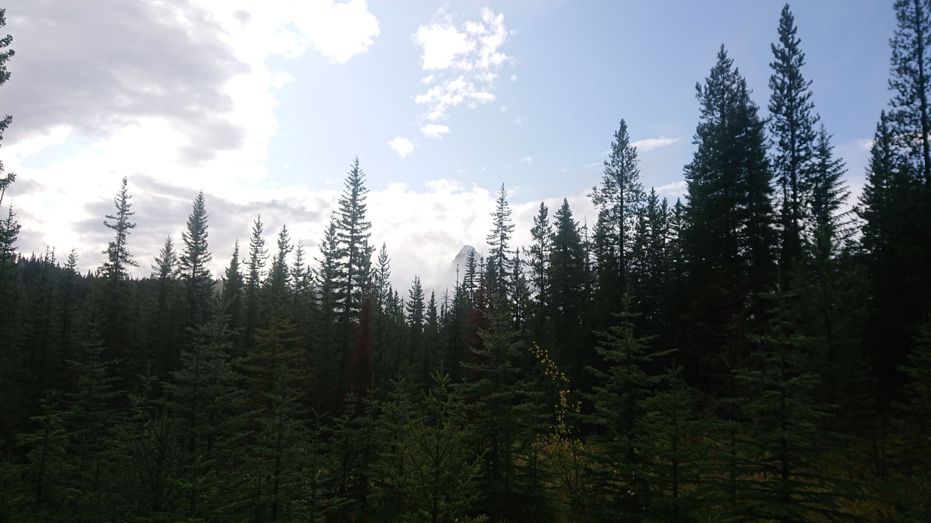
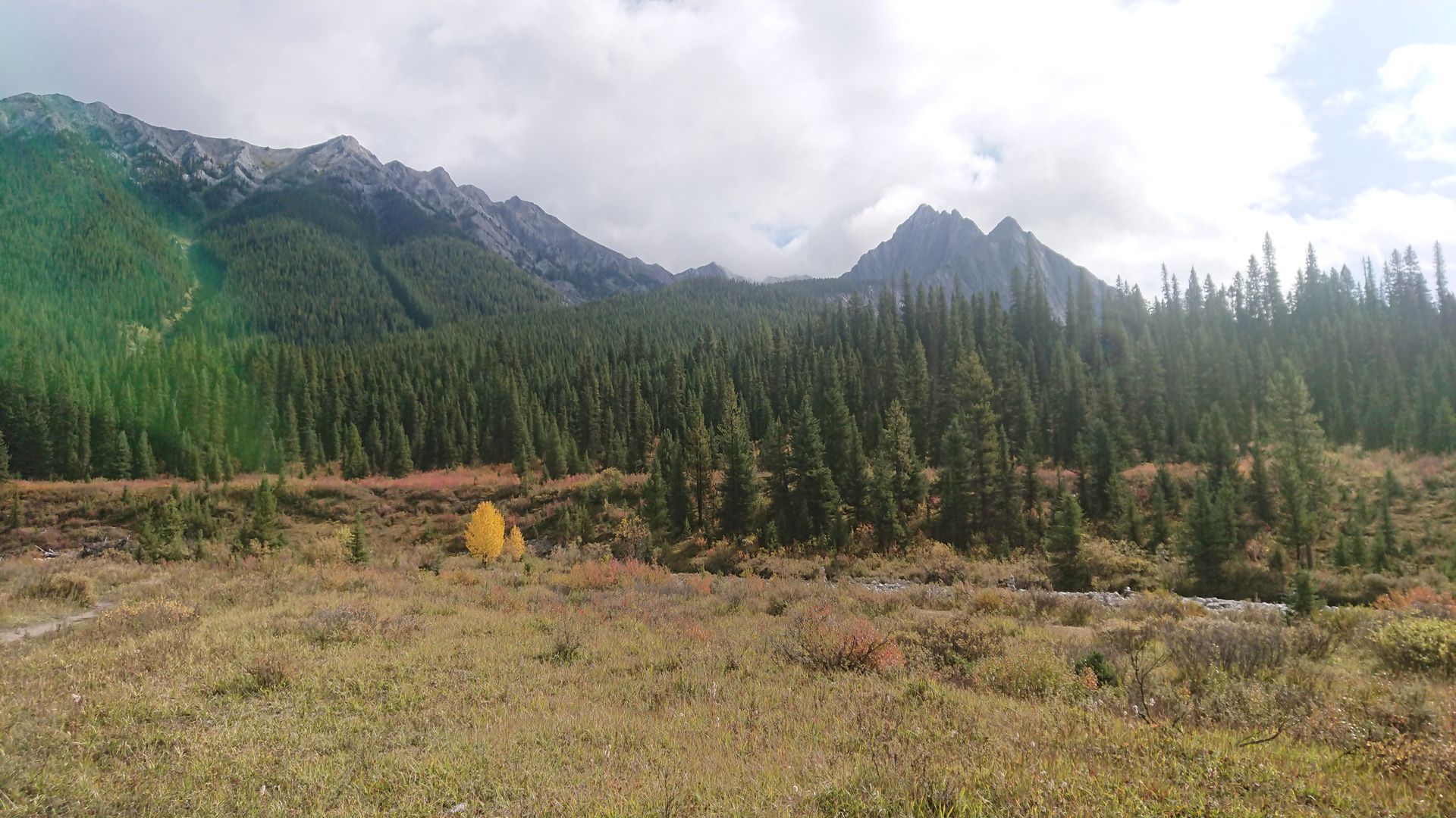
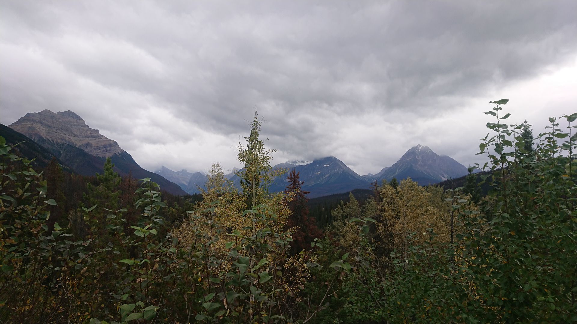
On Tuesday, I went to Revelstoke National Park. To get there, I had to drive on the Trans Canada Highway. When I wanted to turn onto the highway, I saw a trapper with a sign that said Revelstoke. I pulled over and let him get in. The trapper's name was Frederik and he was from Germany, specifically from Allgäu. He started his journey two months ago in Quebec City and had already traveled almost the entire country. Frederik didn't have a travel plan, he never knew what he was going to do next. He couldn't even tell me how his journey would continue after we arrived in Revelstoke. I stopped at the gas station to refuel my car, Frederik said goodbye and continued on. I went to Revelstoke National Park to go hiking at Mount Revelstoke. Unfortunately, it was very cloudy and foggy, I passed by some lookout boards that showed how beautiful it could be, but unfortunately, I didn't see any of it. On the way back, I stopped at the Giant Cedar Broadway, a short path that led through a forest of ancient cedars.
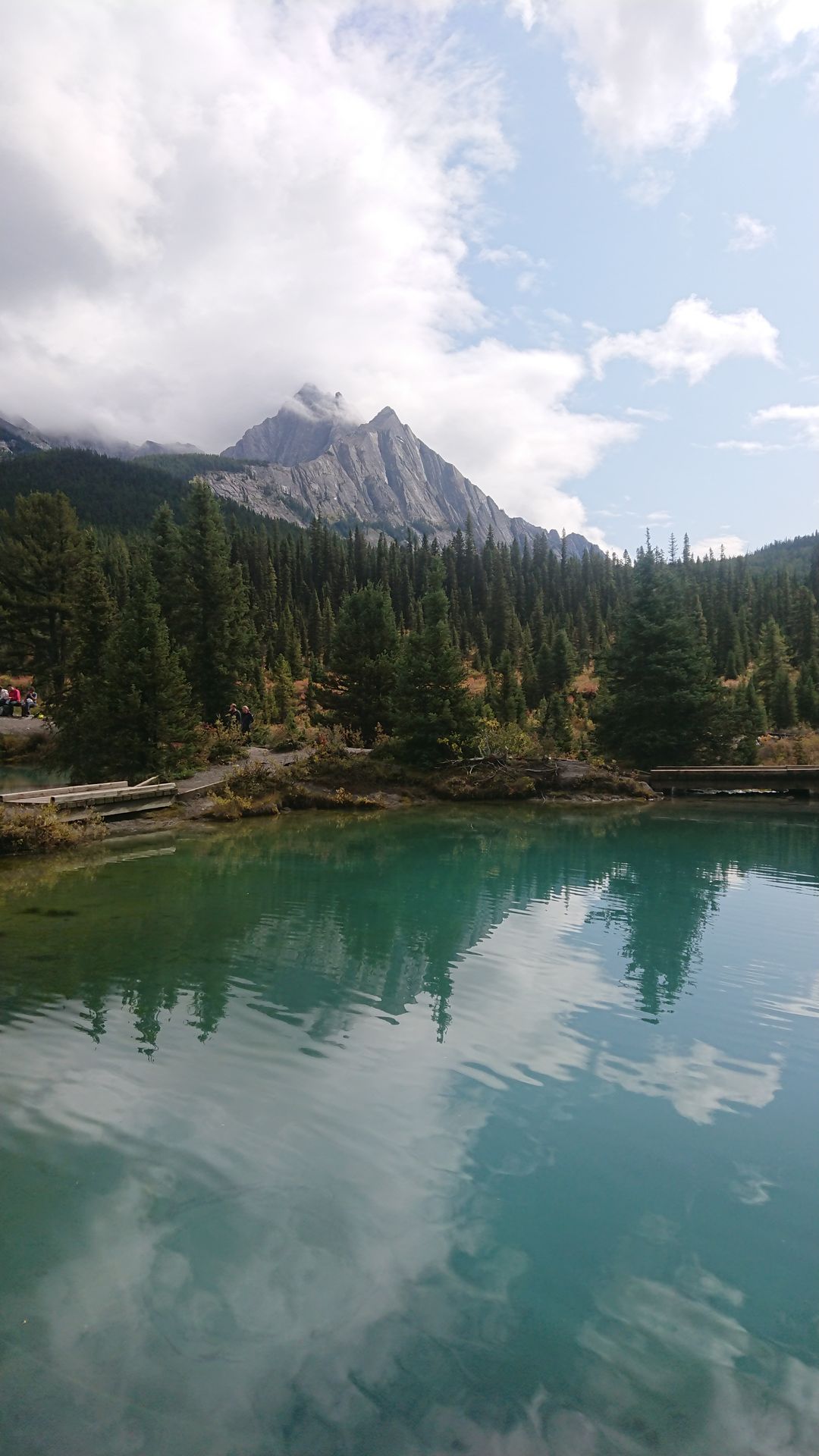
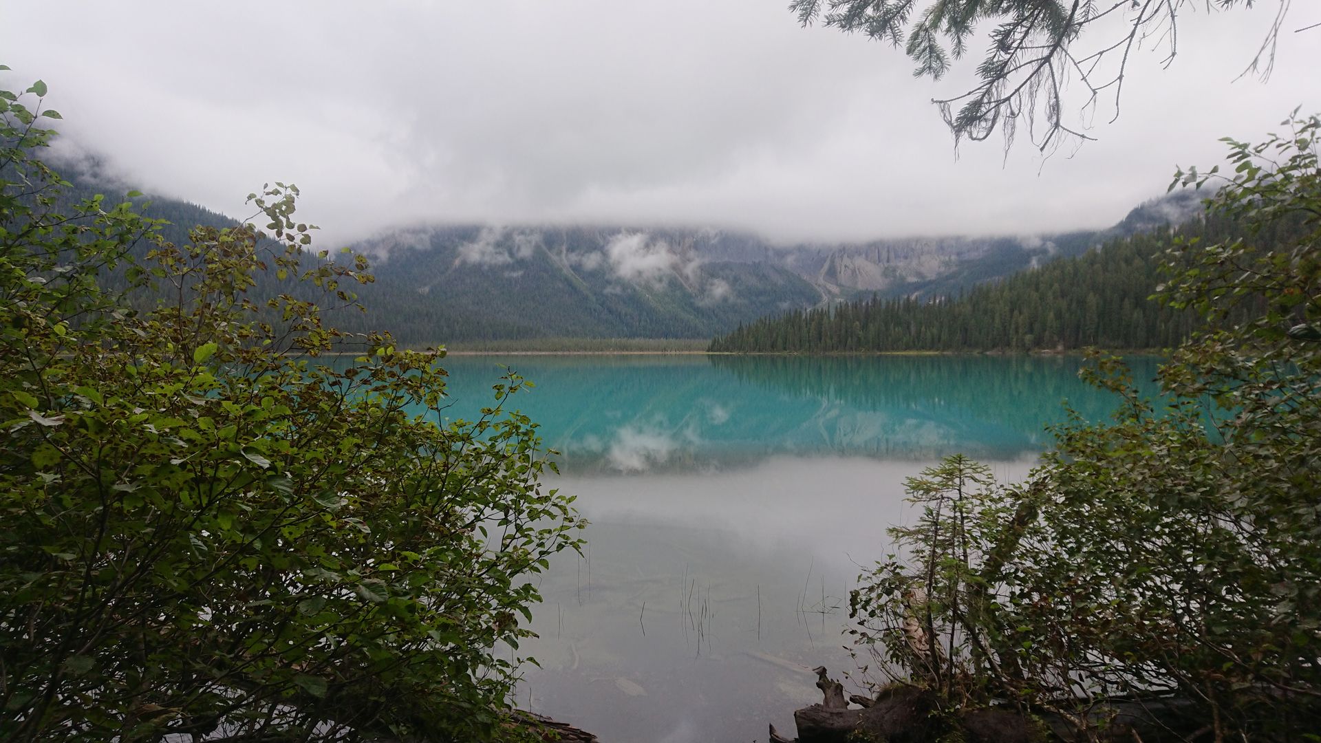
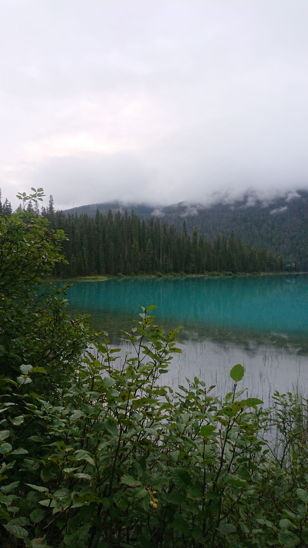
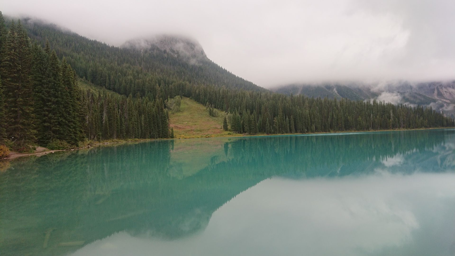
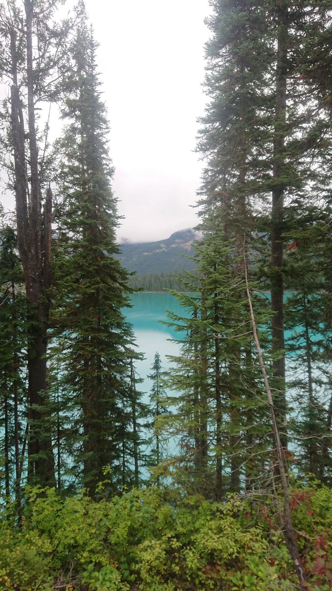
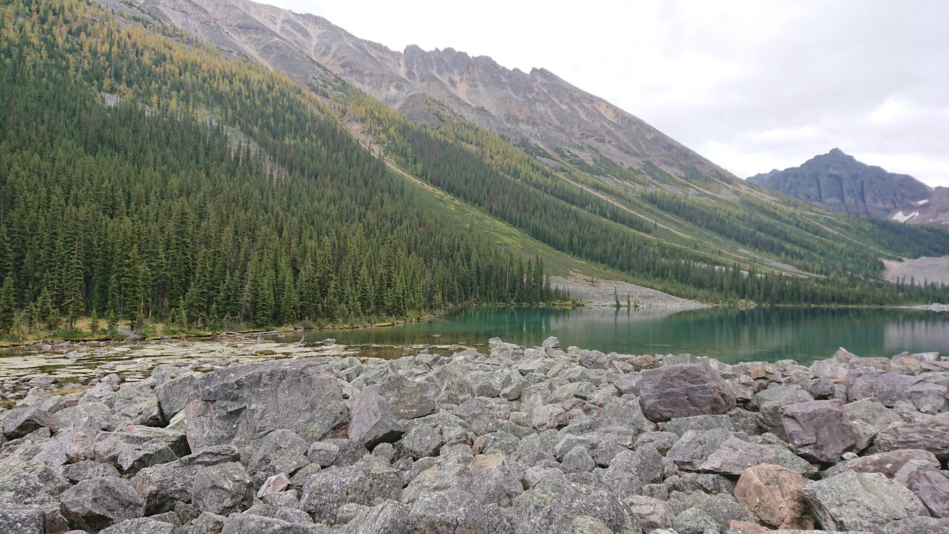
On Wednesday, I visited Yoho National Park. My first stop was Emerald Lake, where I saw one of the many light blue lakes that everyone was talking about for the first time. The water was colored by minerals and the mountains were reflected in the lake. But there were still many clouds hanging in the mountains, which made it not look so spectacular. I took the loop around the lake, hoping that the clouds would clear up a bit in the meantime. But that wasn't the case, so I continued on.
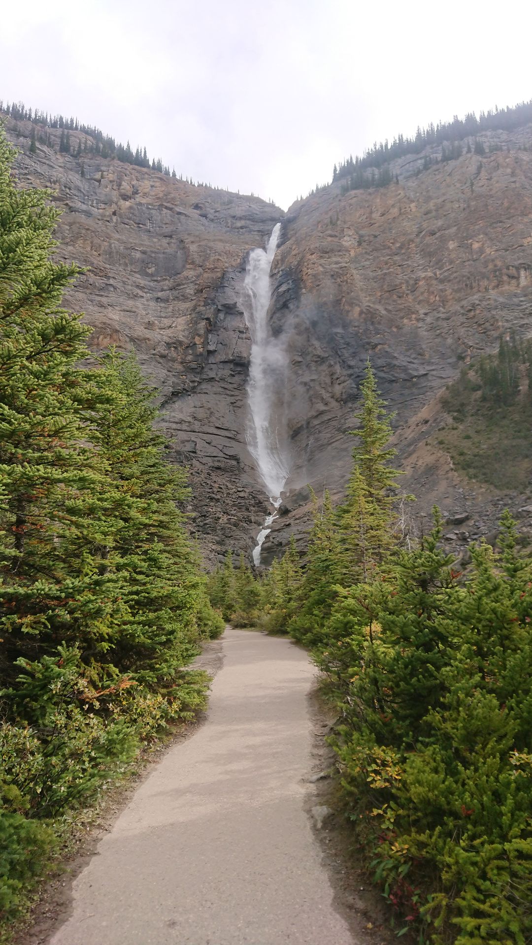
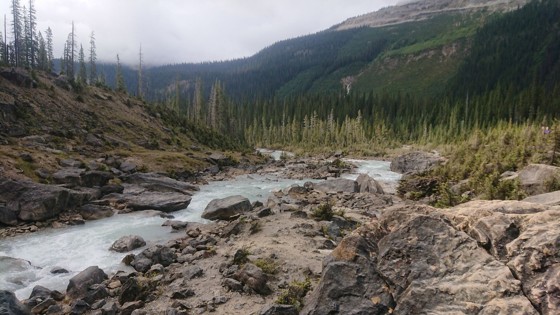
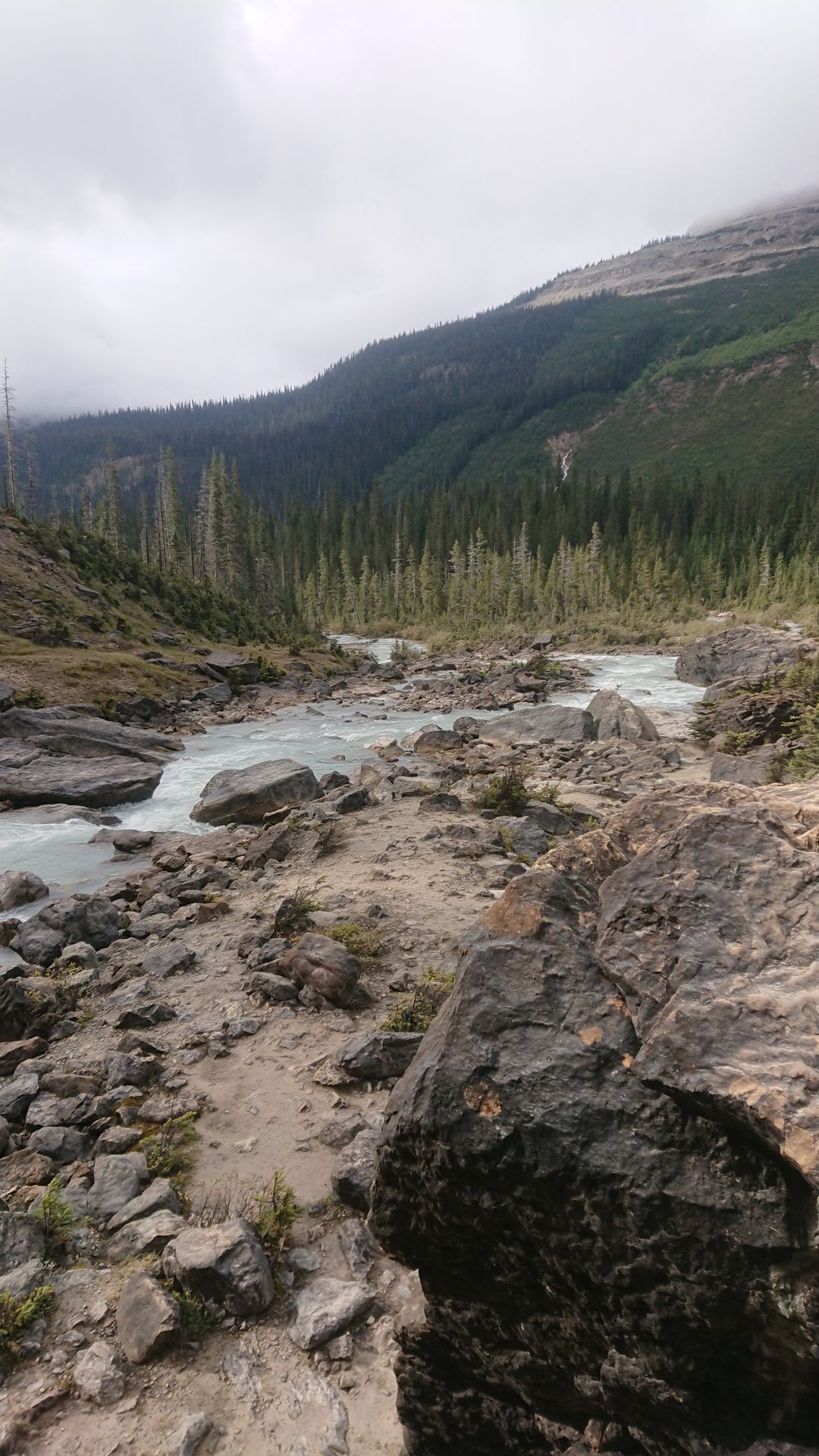
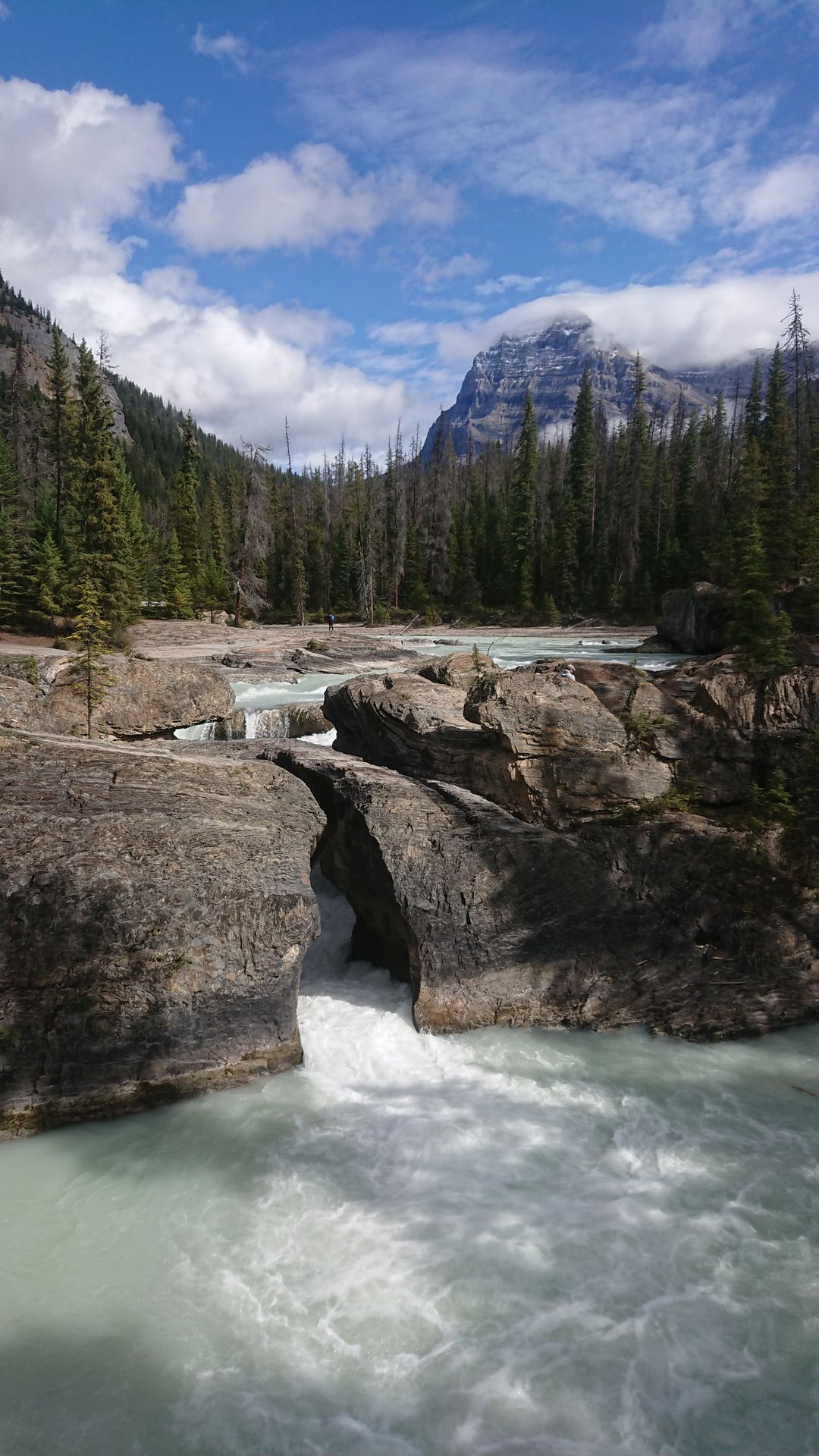
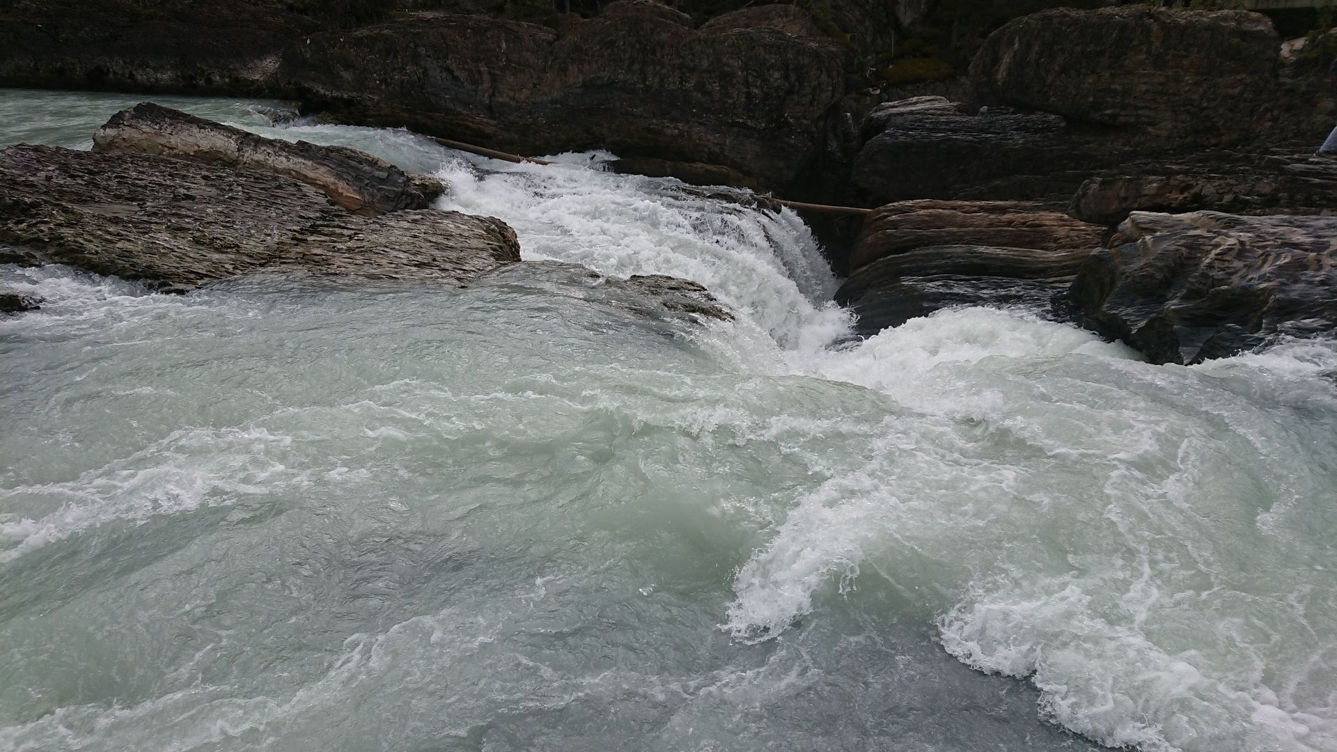
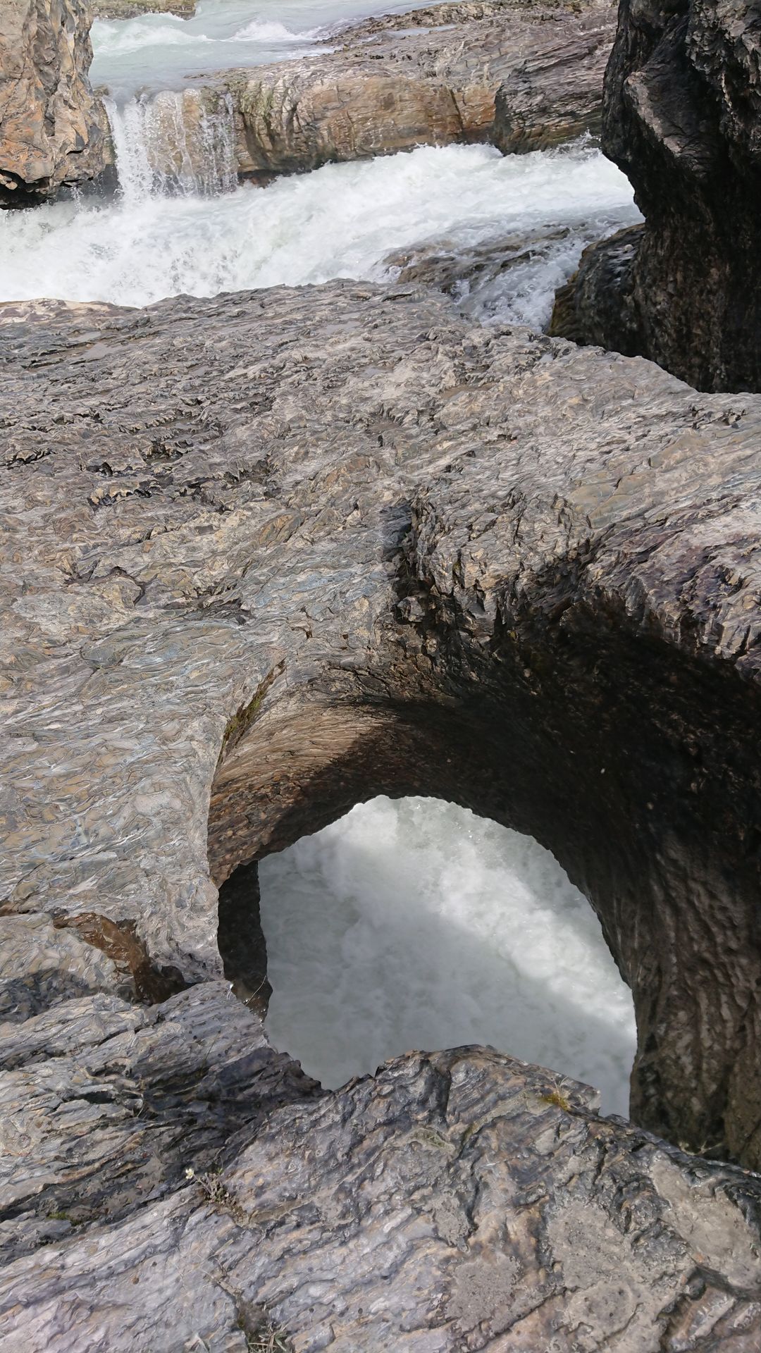
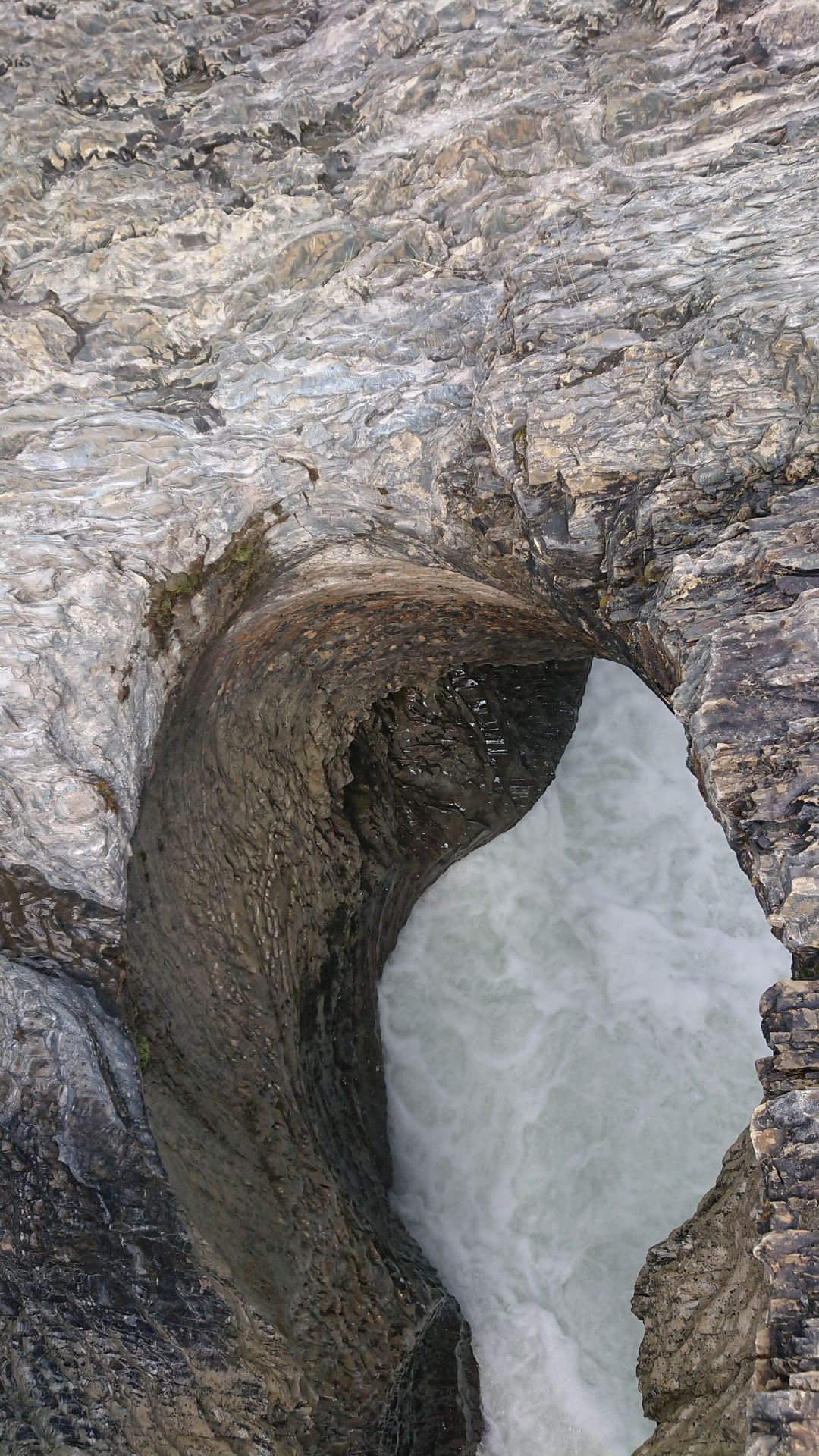
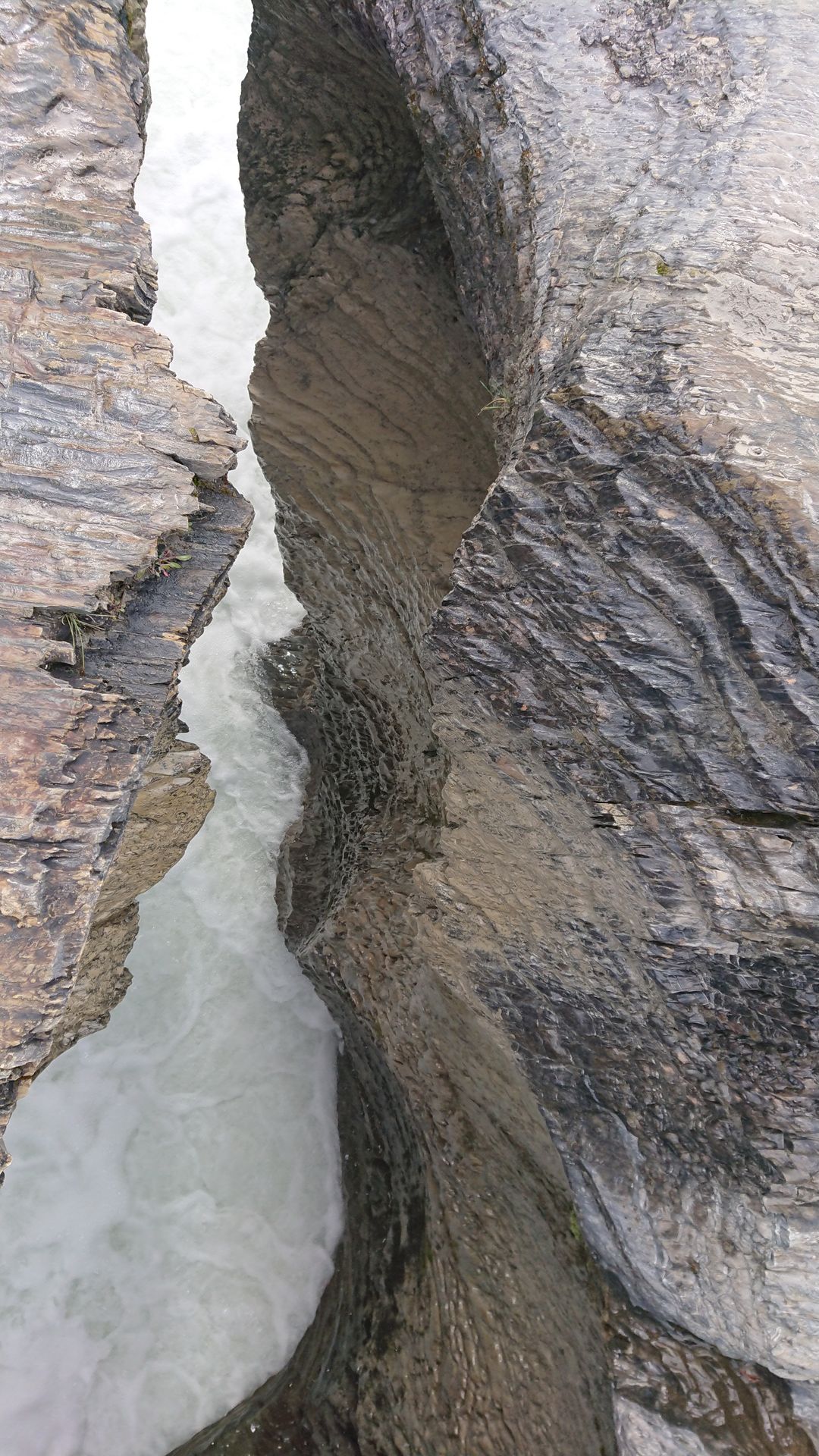
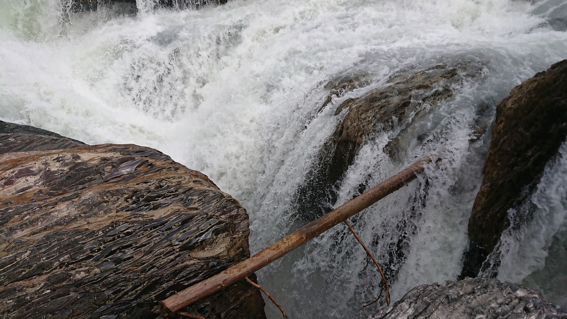
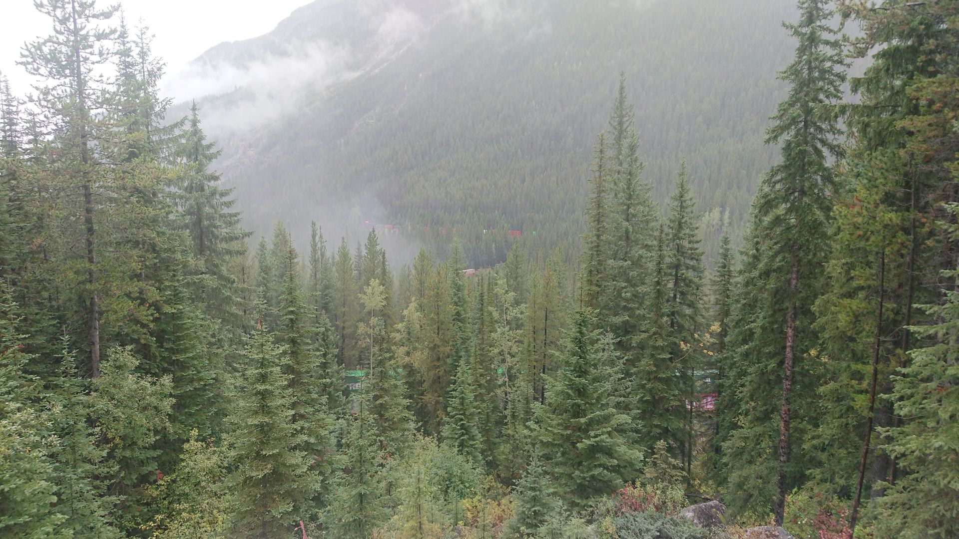
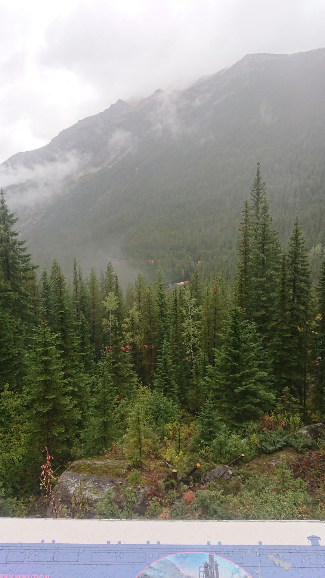
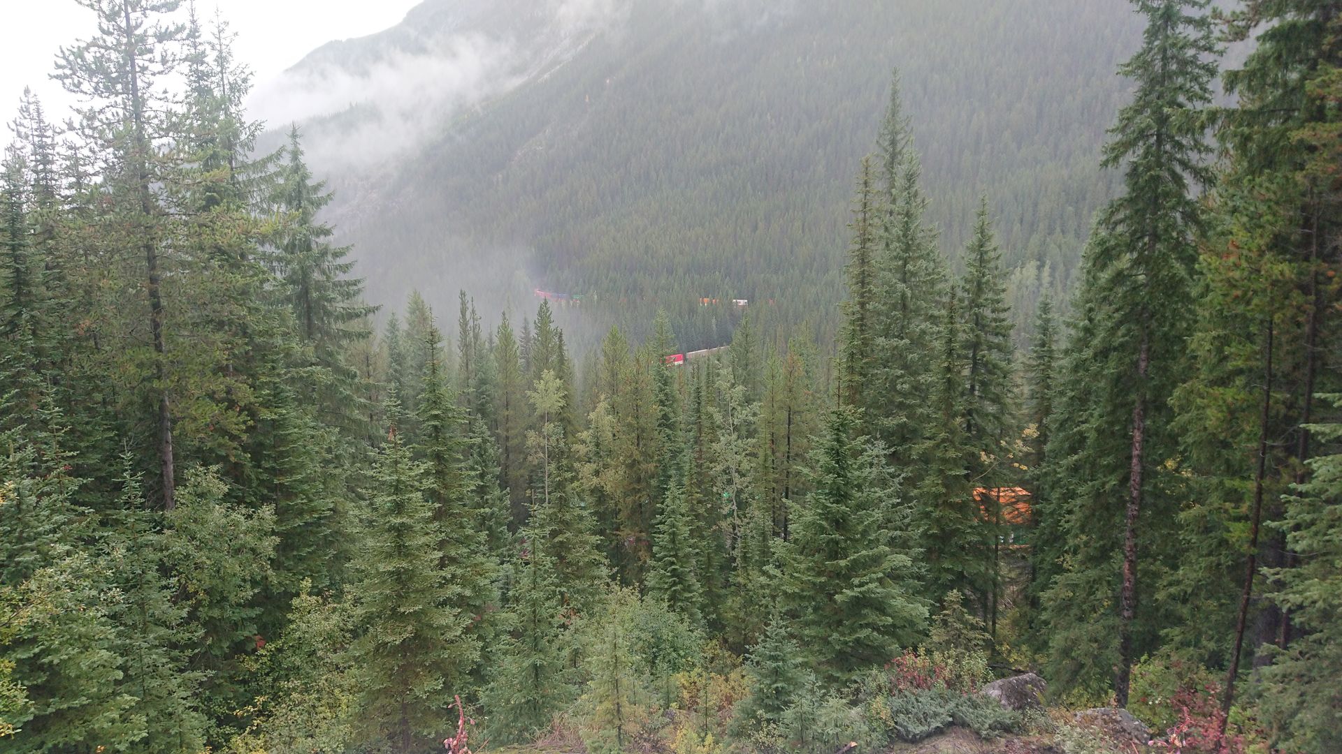
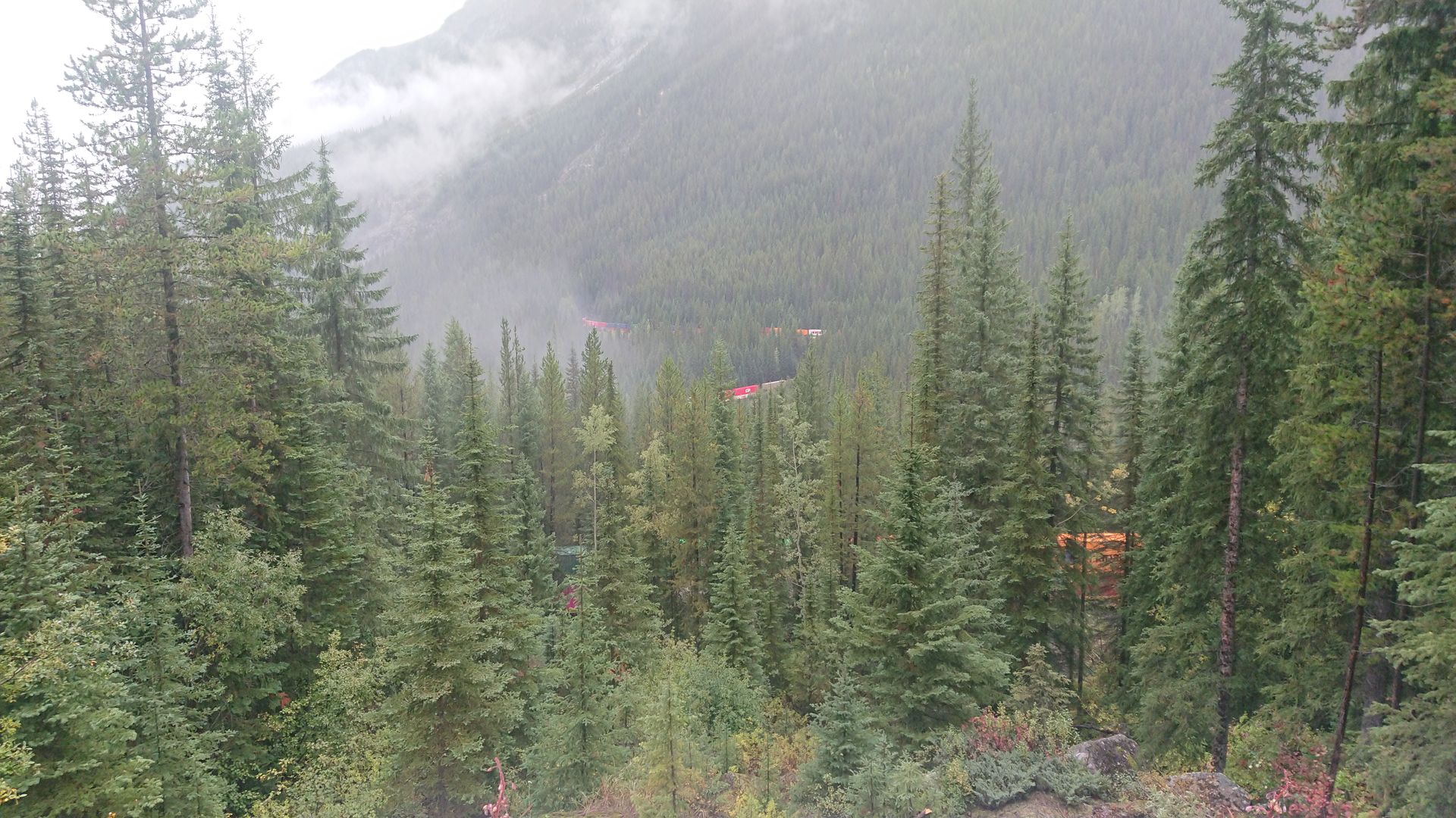
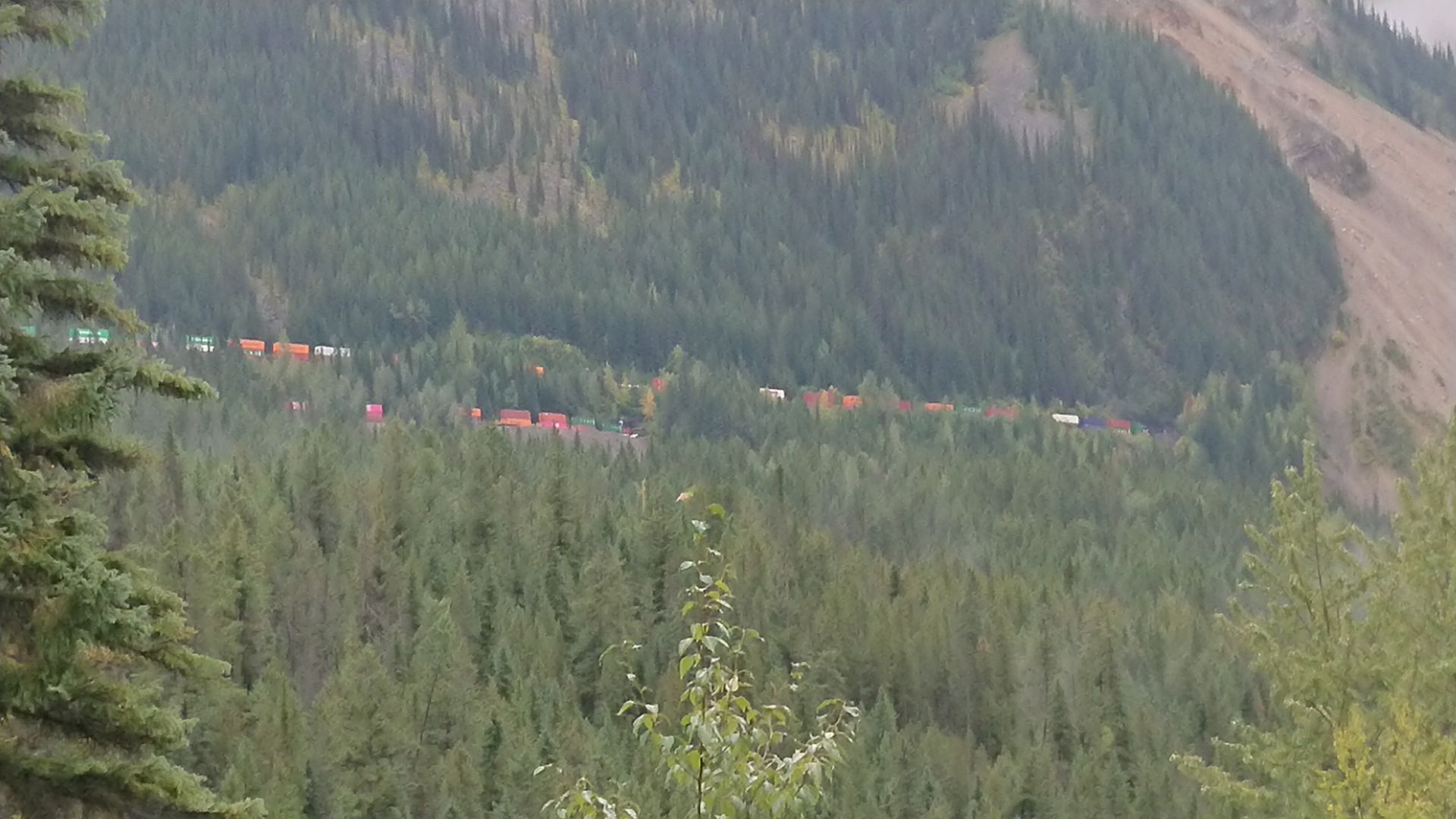
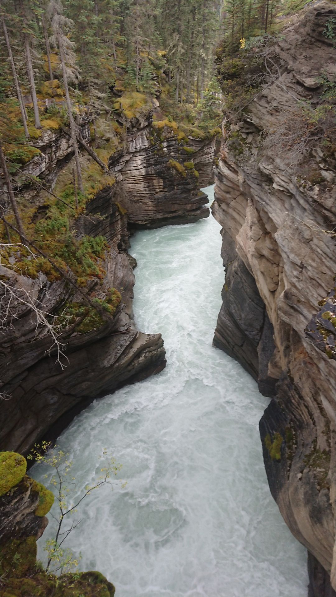
My next stop was Takkakaw Falls. The water fell 250 meters down the rock wall. The waterfall was fed by glacial meltwater. On the way back on the Yoho Valley Road, I stopped at the viewpoint of the Upper Spiral Tunnels. In order to be able to climb the 'Big Hill' with the railroad, two spiral tunnels were built according to Swiss model. The Upper Spiral Tunnel was 990 meters long and the difference in altitude between the two tunnel portals was just under 90 meters. Since the trains in Canada were very long, you could still see the back part while the locomotive was already coming out of the tunnel. However, the trains didn't have a fixed schedule, so I didn't know when one was coming, and after an hour of waiting and still no sign of a train, I continued on to the Natural Bridge. The Natural Bridge was formed because the Kicking Horse River found its way through the rock cracks and then eroded the lower part of the crack more and more, while the upper part remained. This formed a natural bridge that was only underwater in spring during high meltwater.
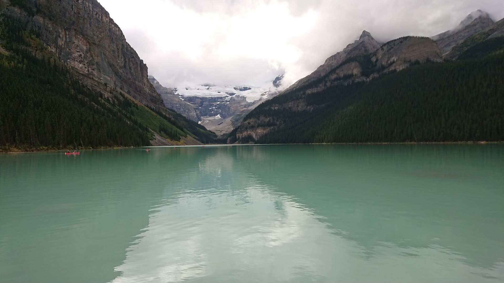
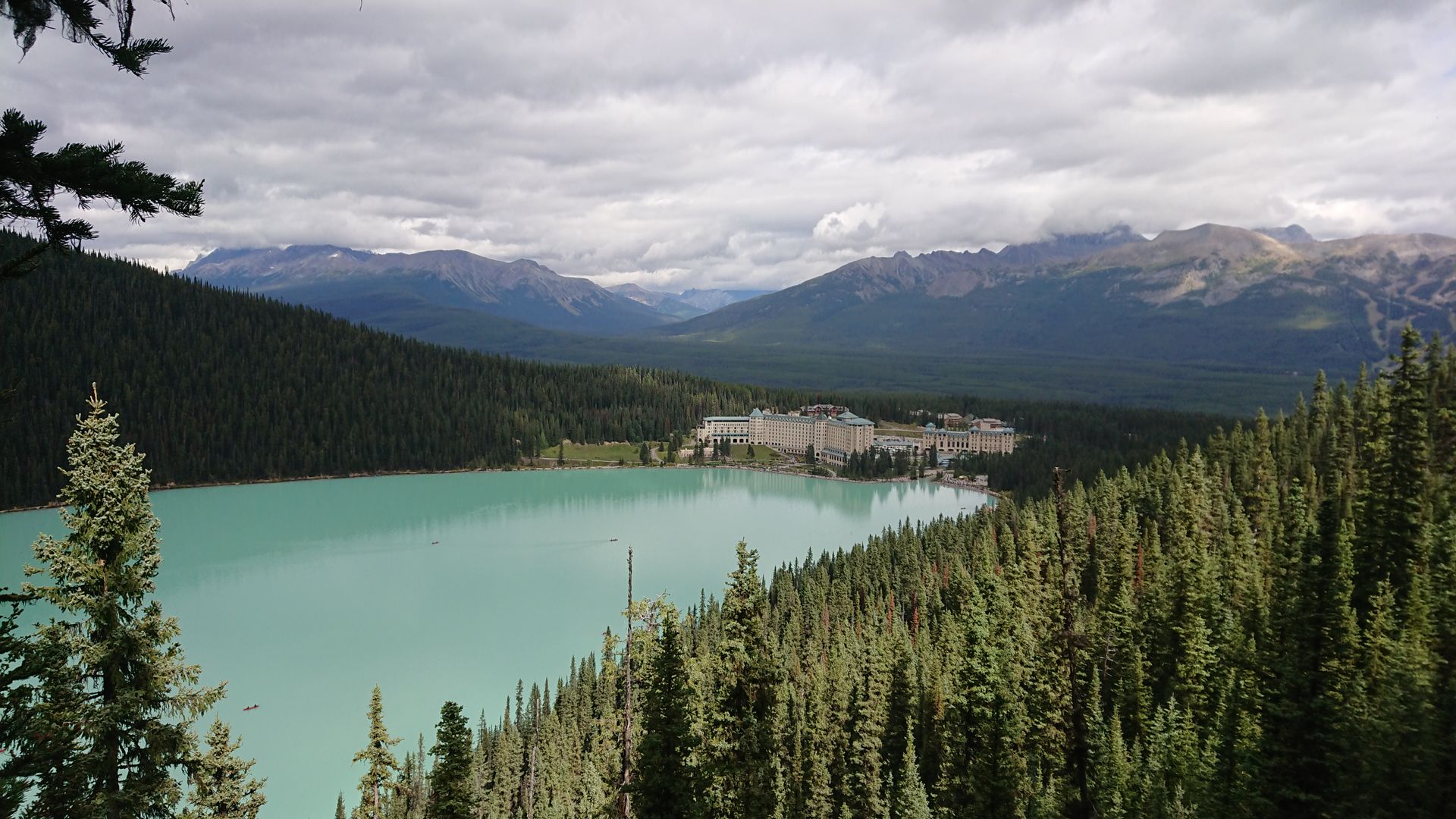
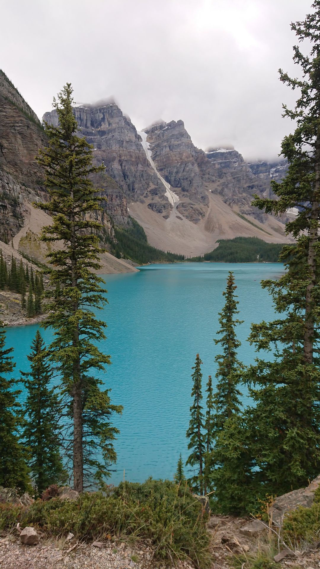
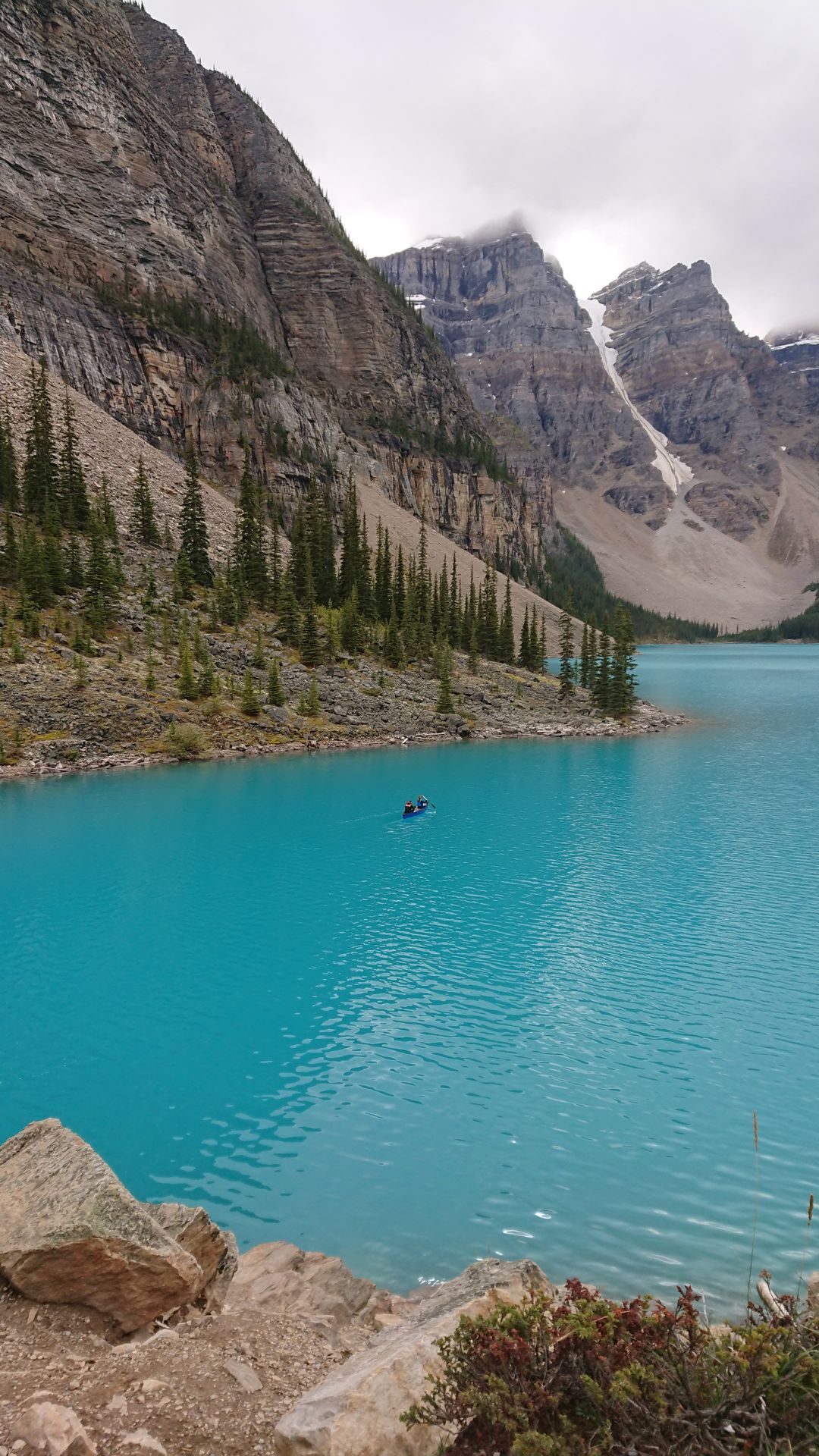
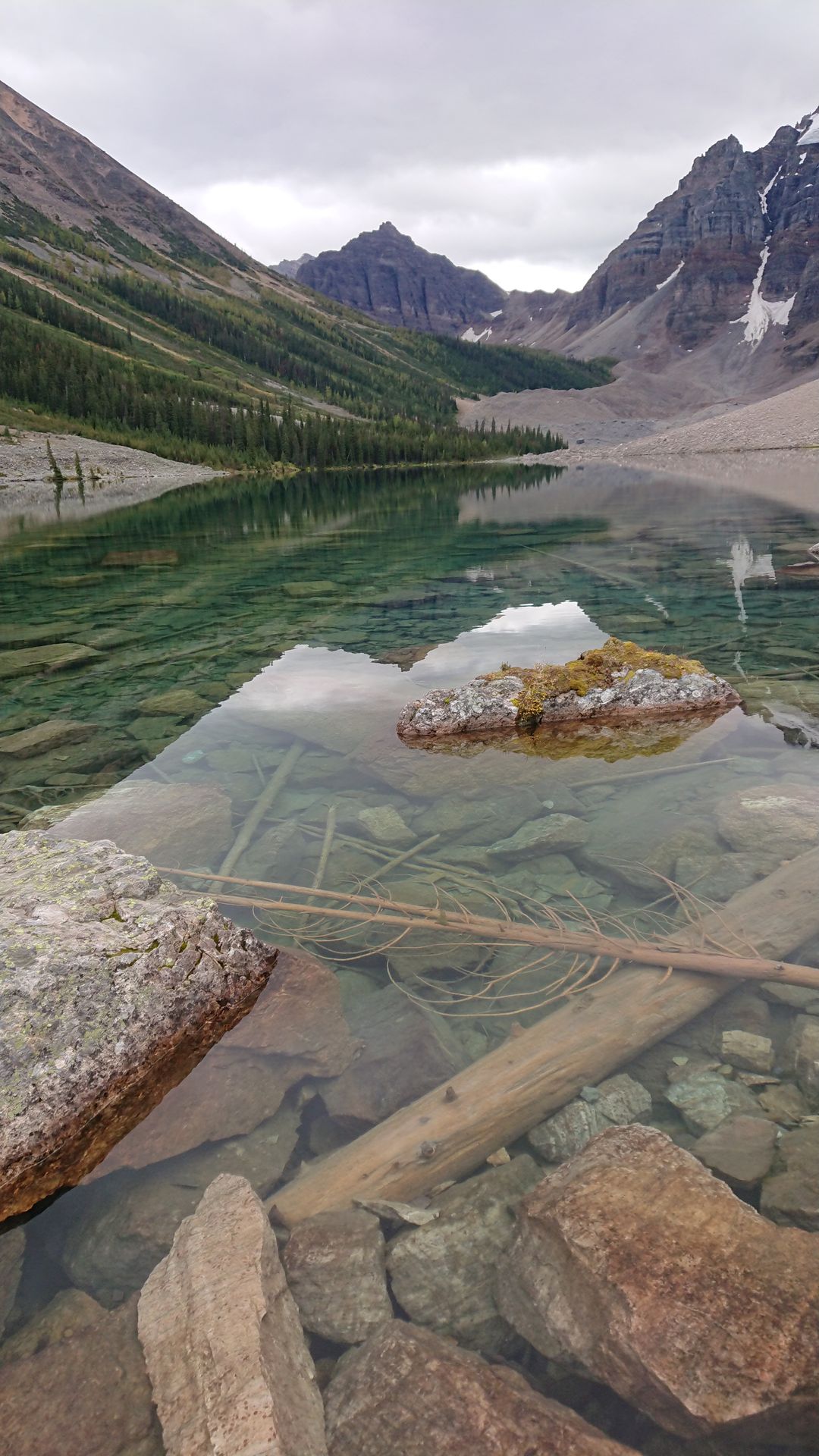
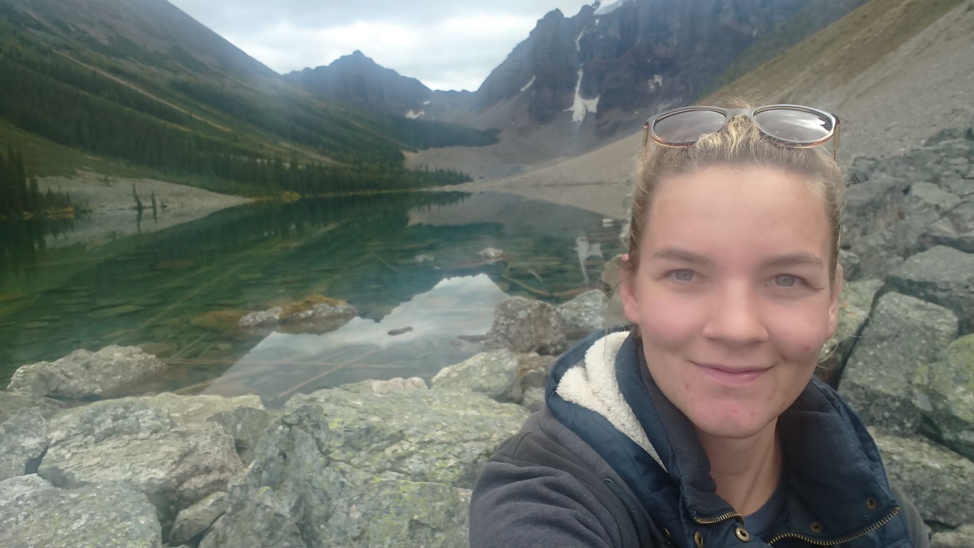
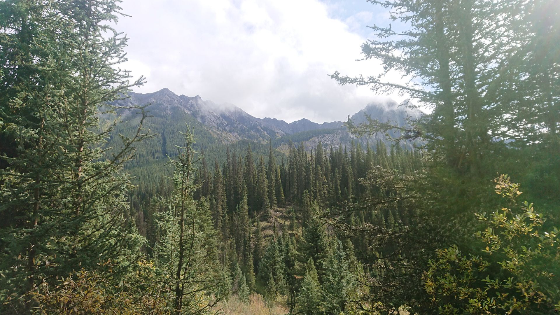
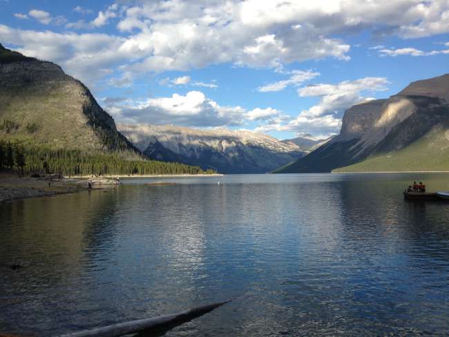
On Thursday, I headed to Lake Louise, with Moraine Lake as the final destination. The parking spaces there were limited and there were far from enough. I had to drive about 2 kilometers further on the Trans Canada Highway, where there was a huge parking lot from which you could take a shuttle bus to Lake Louise. In order to control the crowd, they only transported 45 people every 15 minutes to Lake Louise. This meant that I had to wait half an hour. When I arrived in Lake Louise, I had to queue again to buy a ticket for the shuttle bus to Moraine Lake. Then I had a good hour to enjoy Lake Louise. To escape the tourist crowd, I went to Fairview Lookout. This viewpoint was only a kilometer away, but it went steeply up the mountain. After a short break, I had to start my way back again so that I wouldn't miss the shuttle bus. They transport only 28 people every 20 minutes to Moraine Lake. I was surprised that this time the water of the lake was tinted more in a darker turquoise, the other lakes I had seen so far were more light blue. I watched the canoes on the lake for a while, then I hiked to Consolation Lake, a small lake in the Canadian wilderness. I enjoyed the tranquility and started my way back in time to catch the shuttle bus. I passed by some hikers who were all looking at the mountain on the other side. They had spotted a grizzly bear! It was only visible as a black dot to the naked eye, but one of the hikers lent me his binoculars so I could see the bear better. Although I couldn't take a photo, I was glad that the bear was so far away and this sighting saved my rather stressful, overcrowded day with tourists.
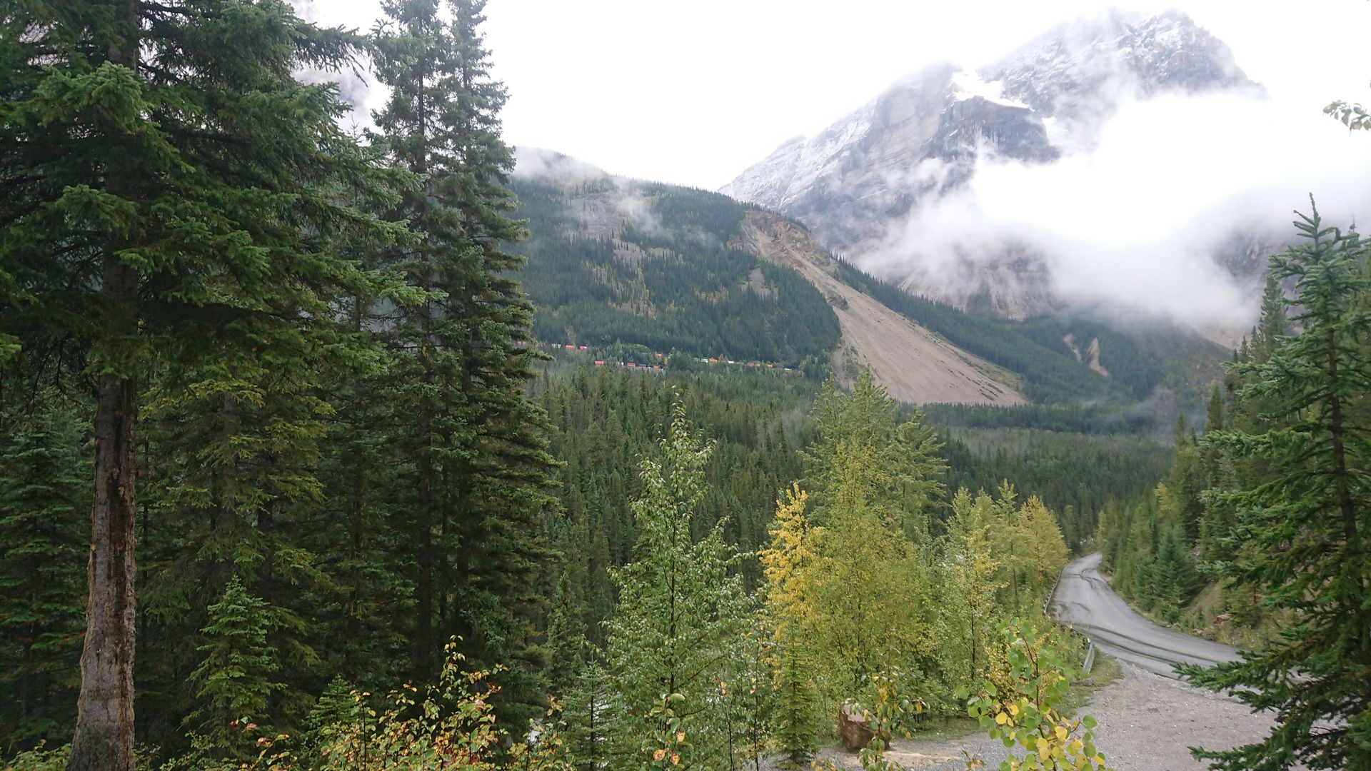
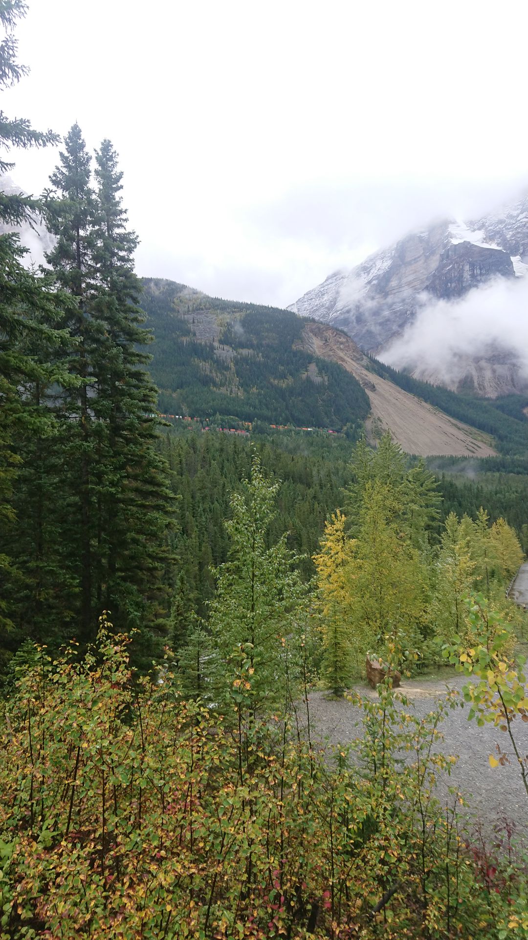
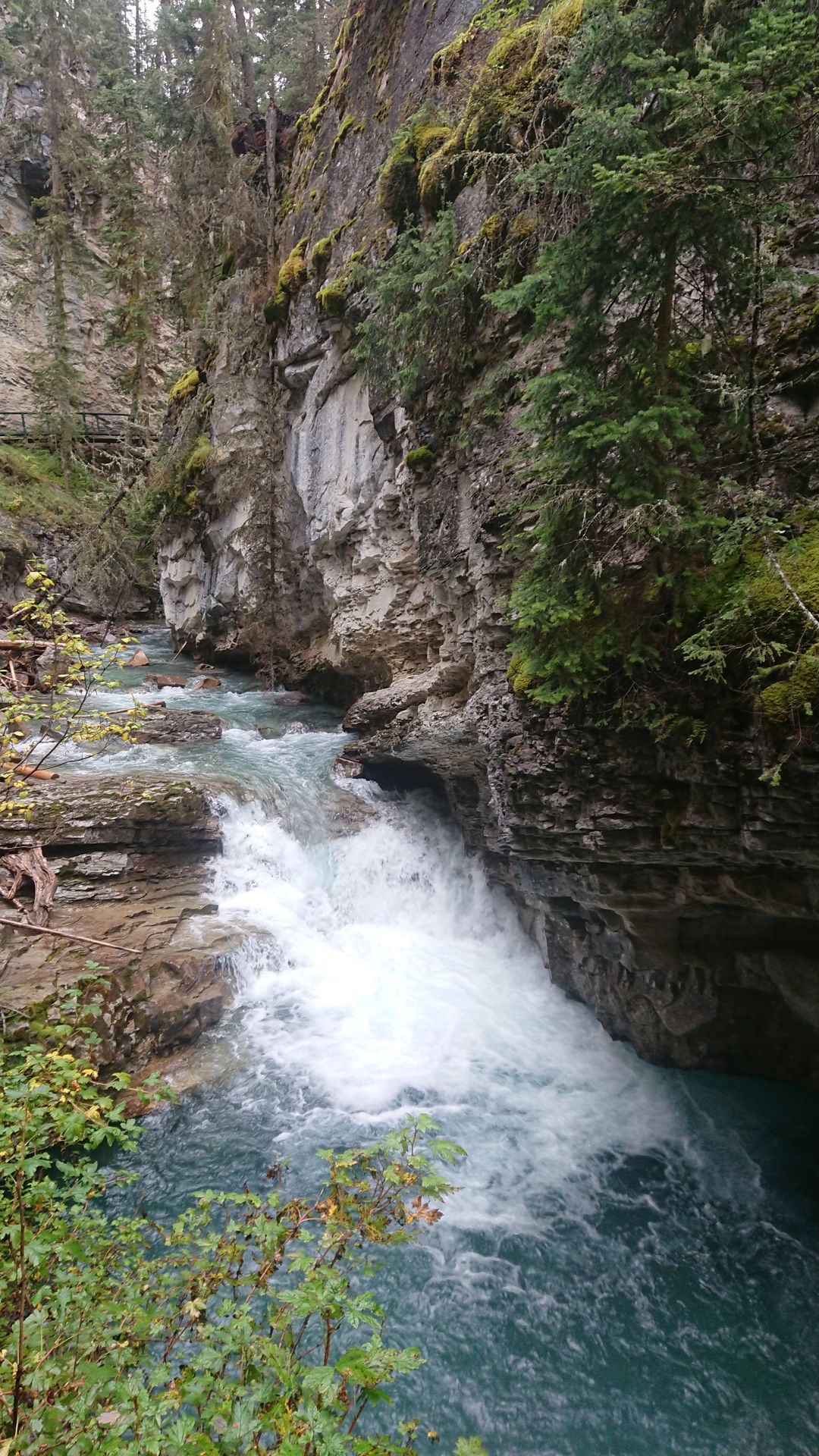
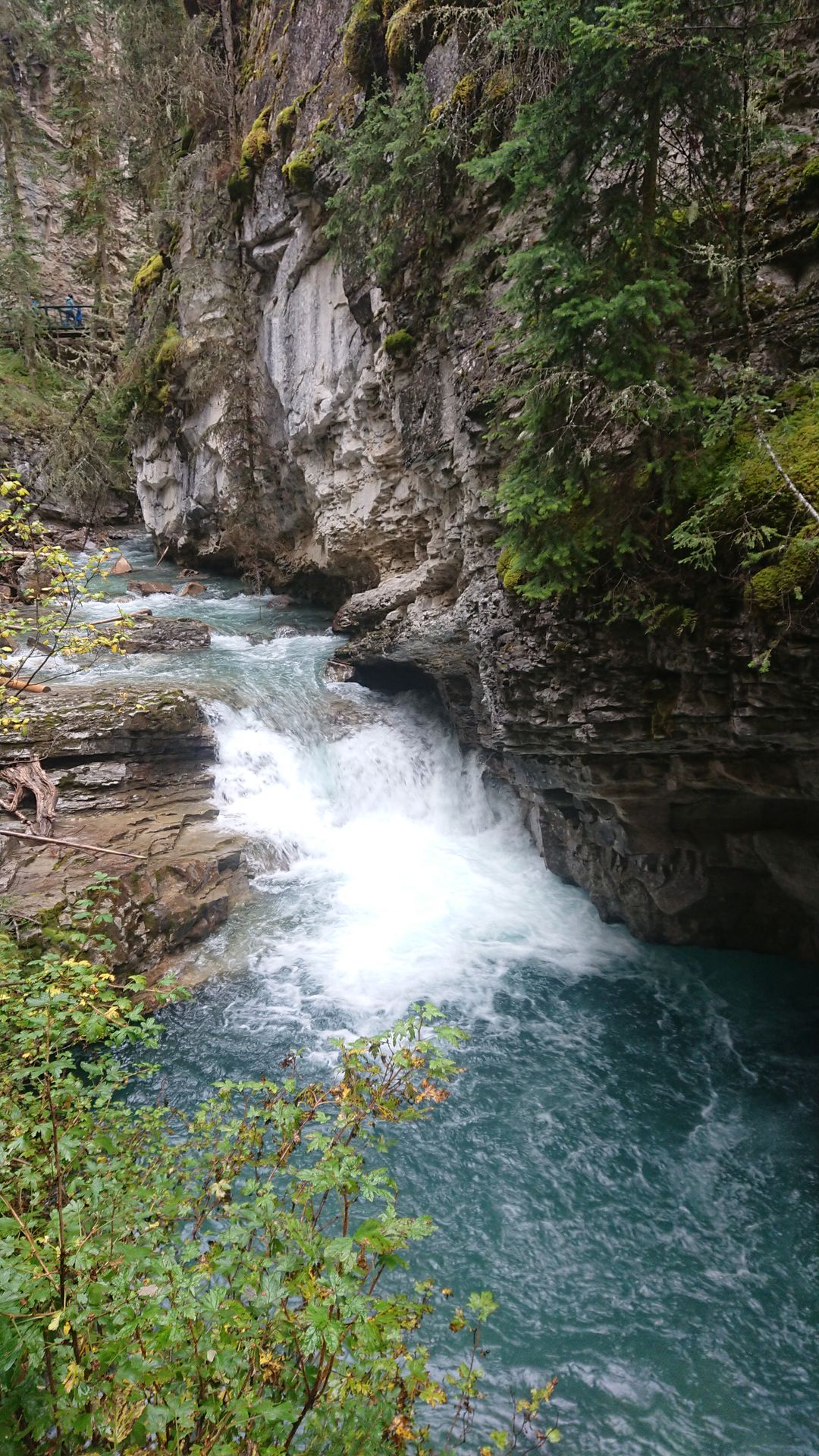
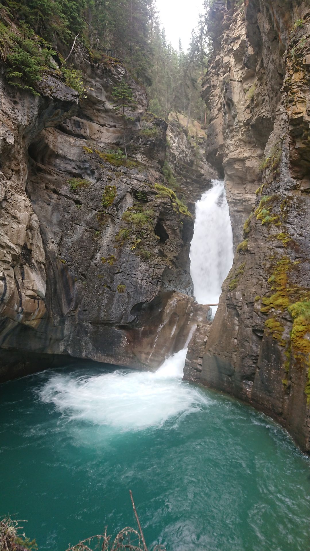
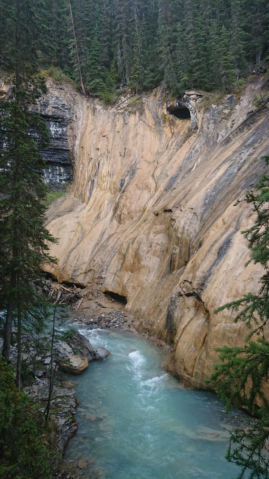
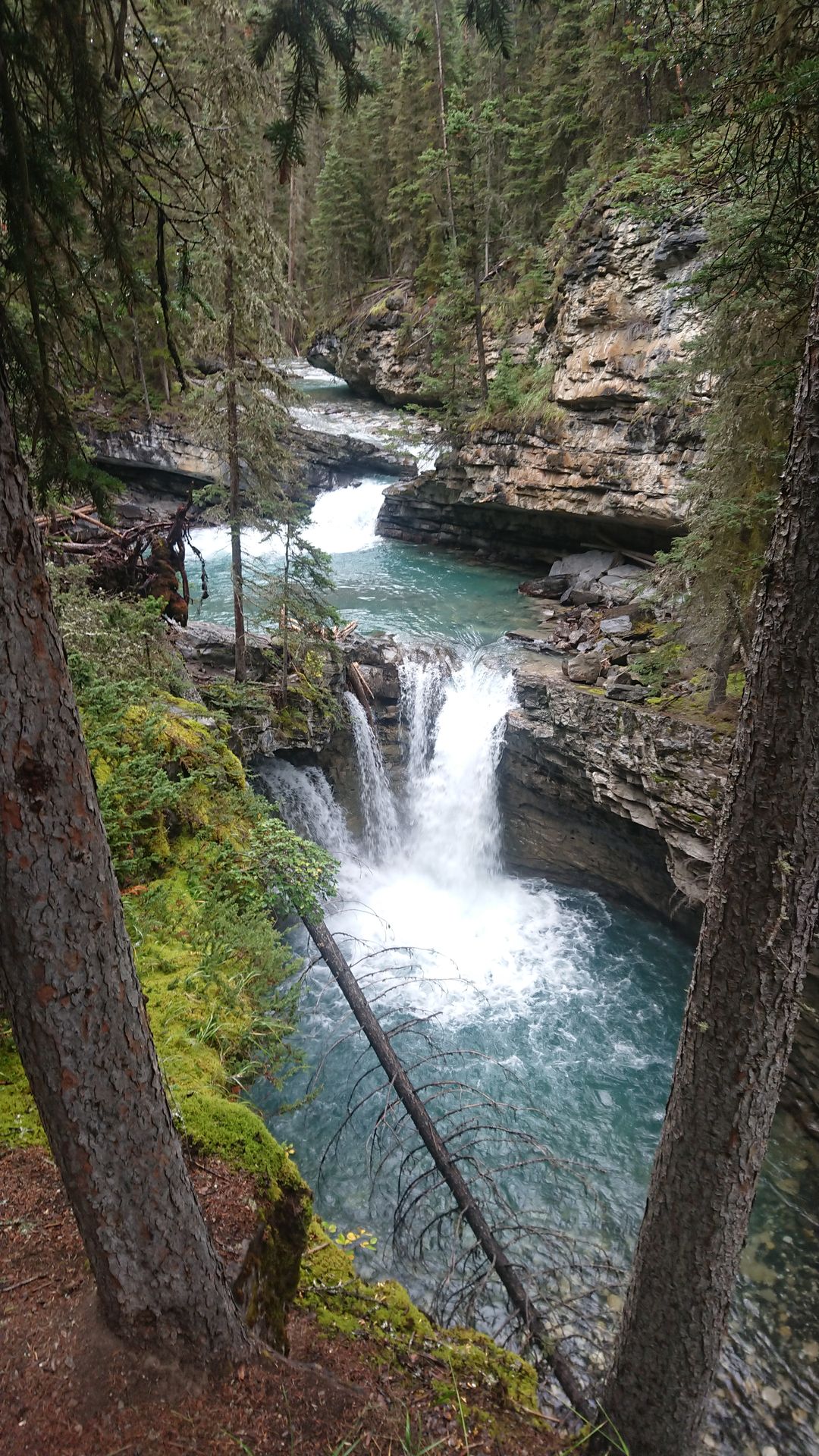
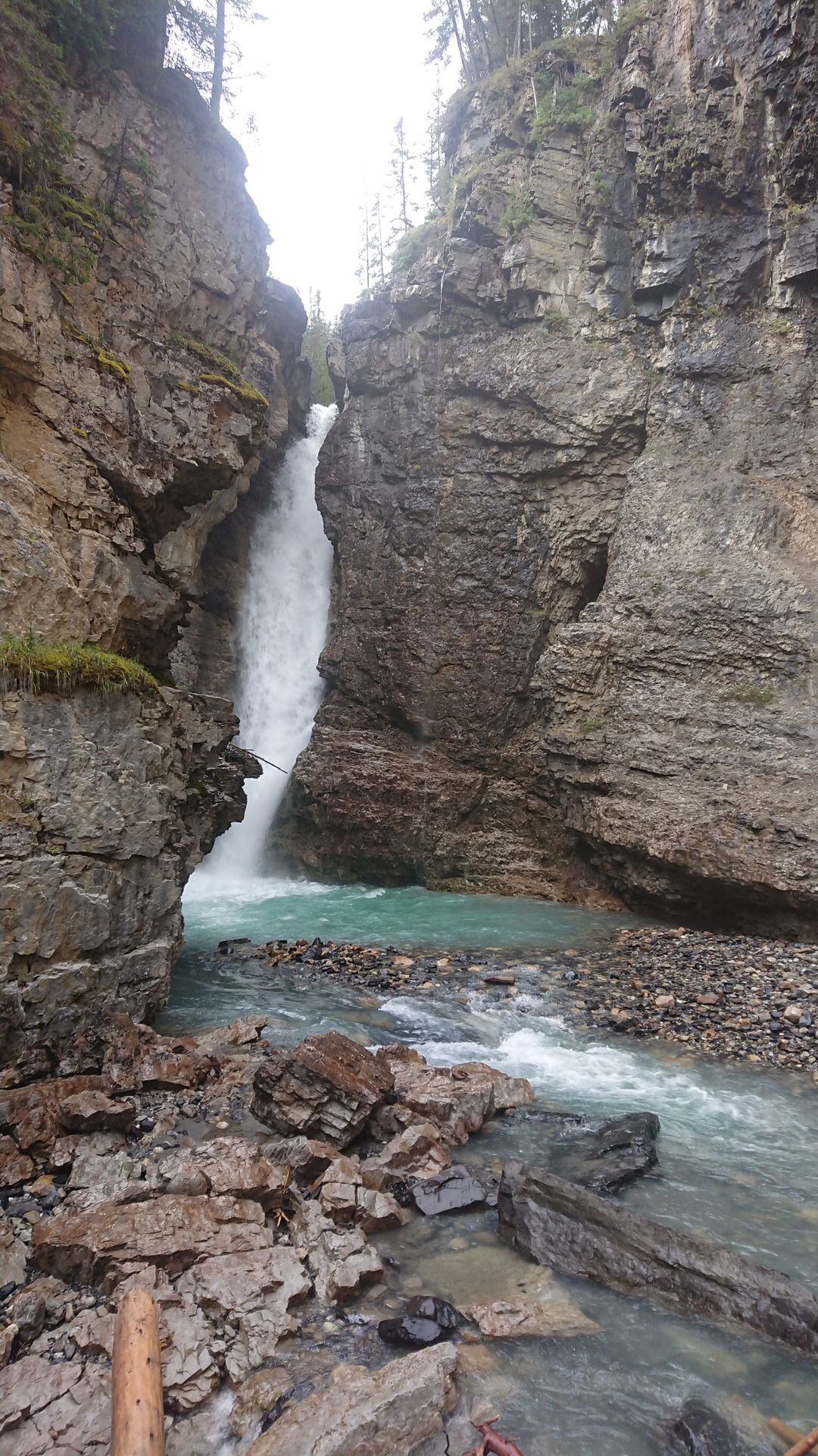
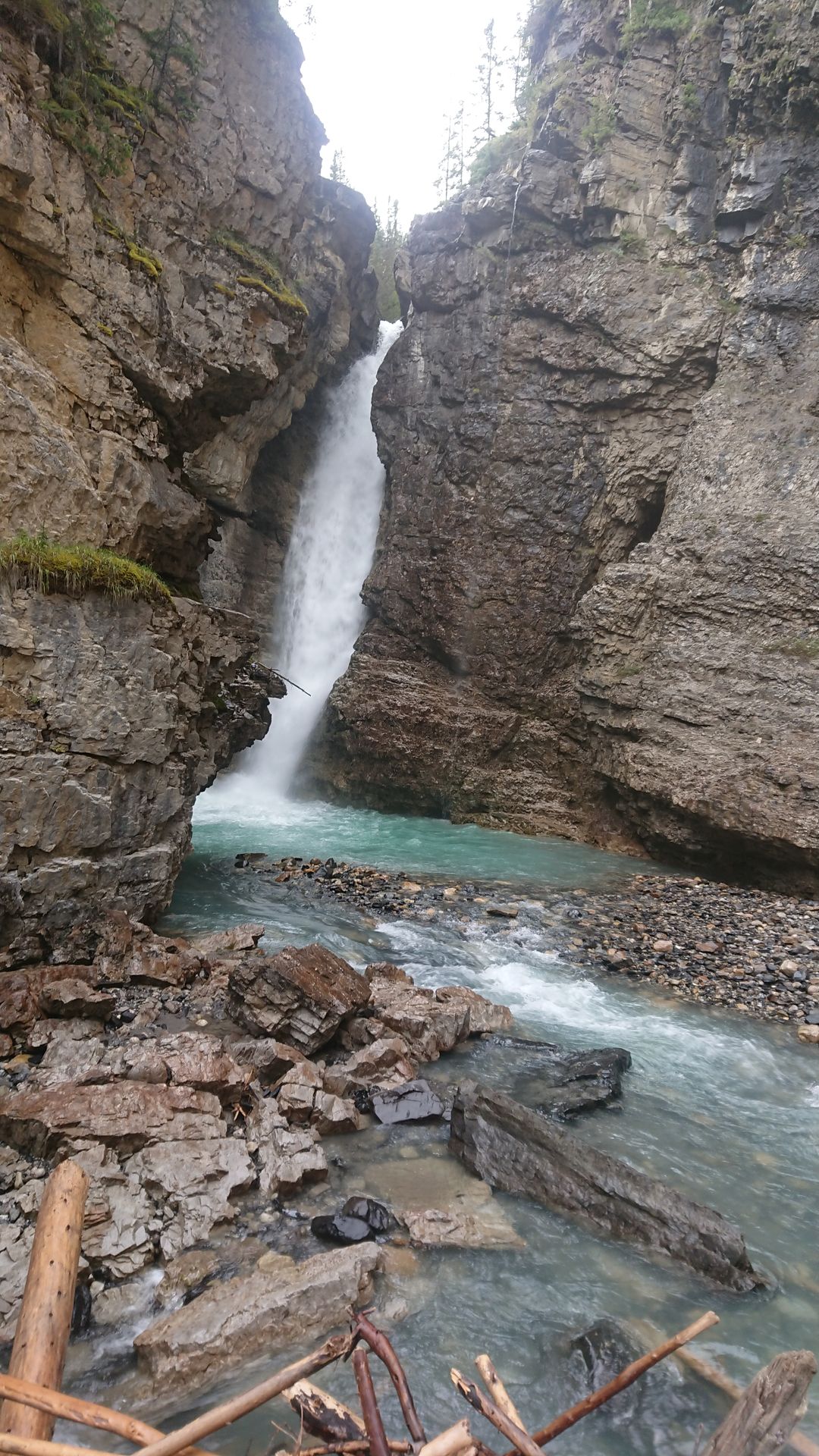
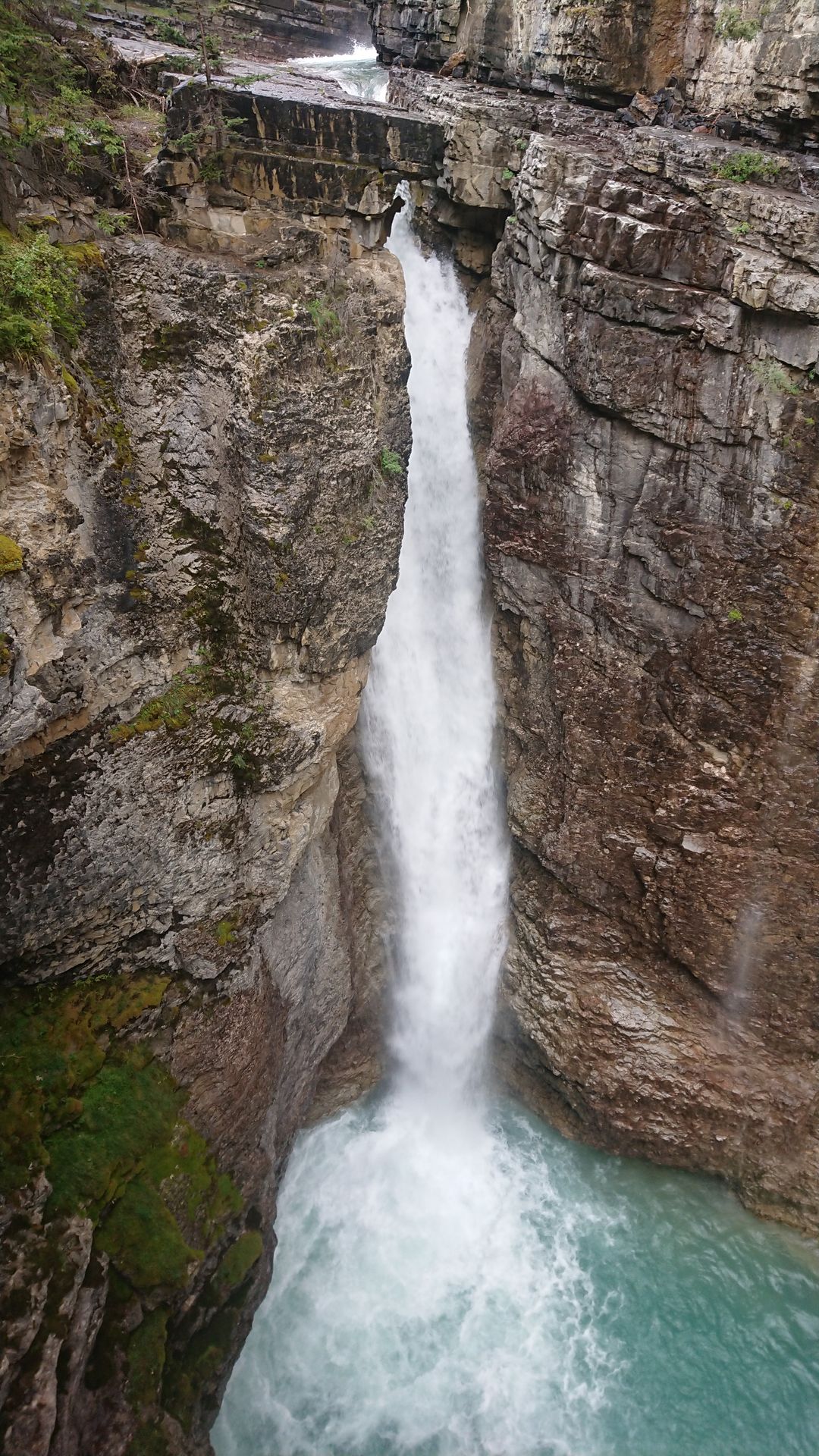
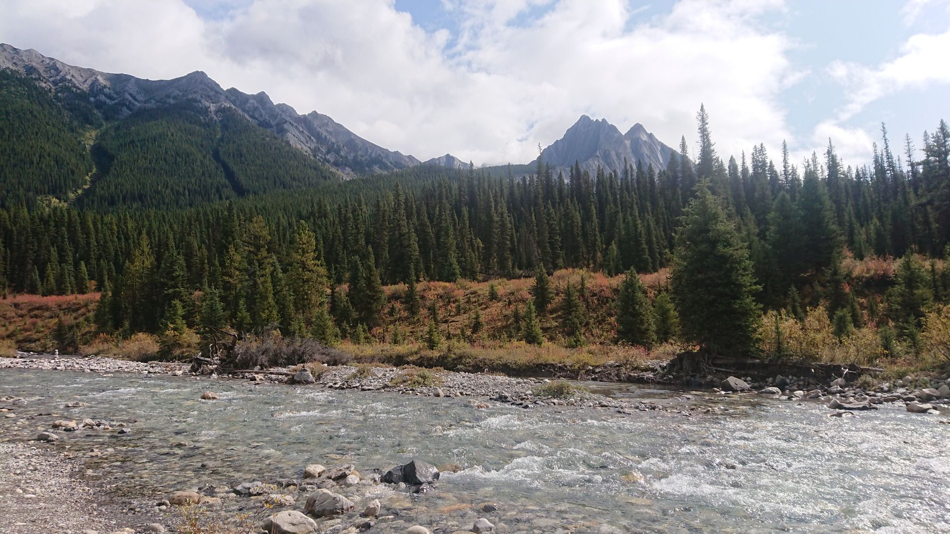
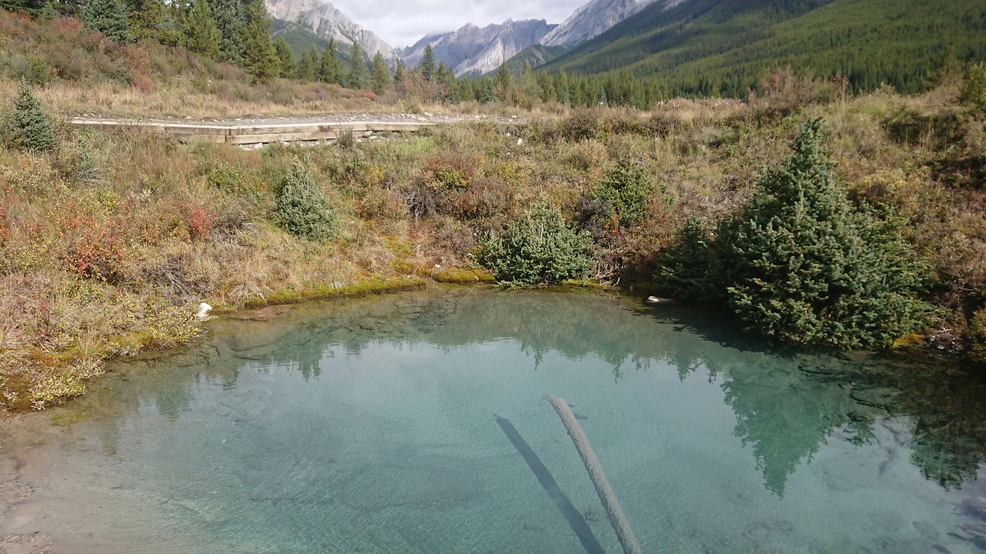
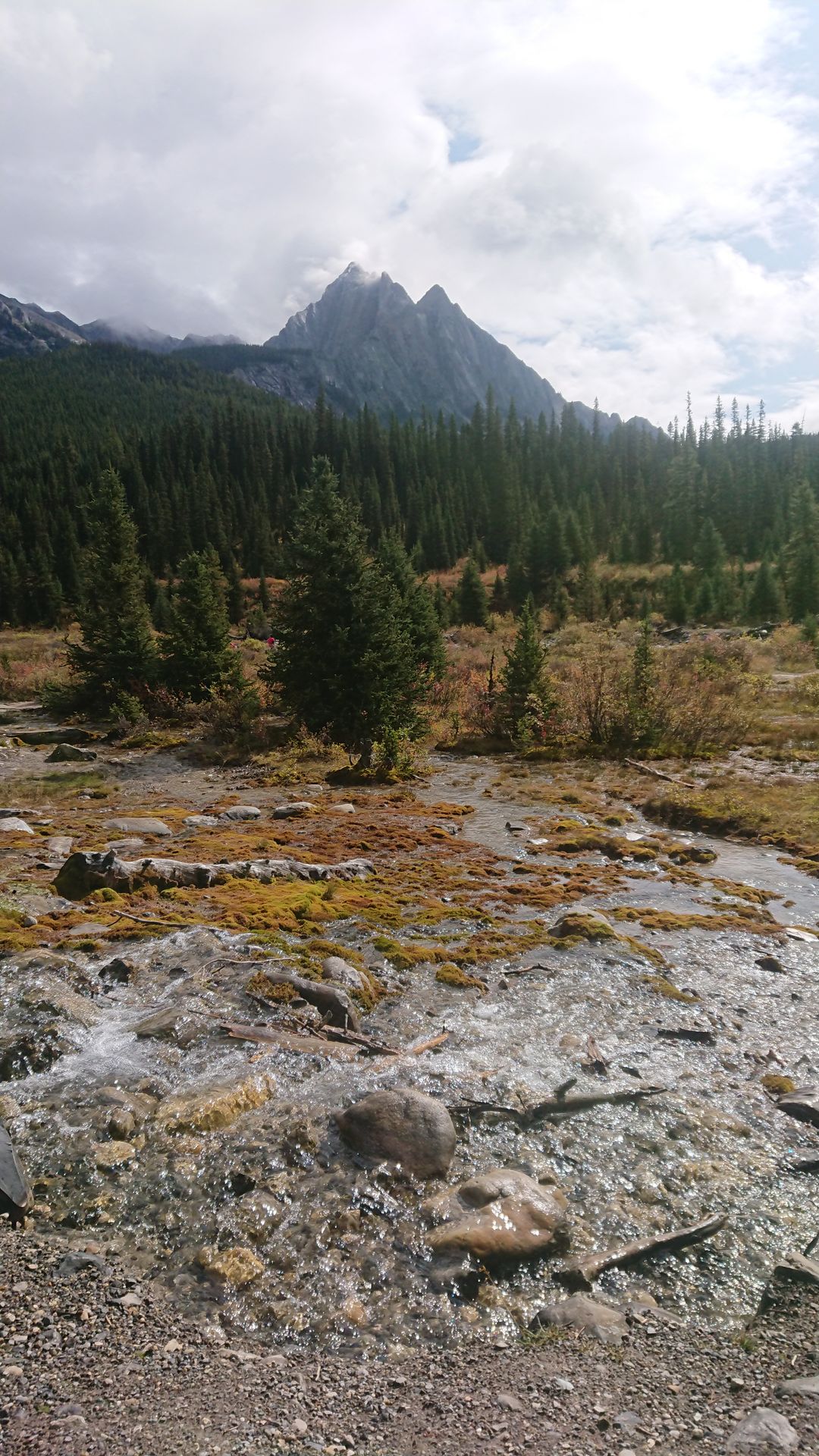
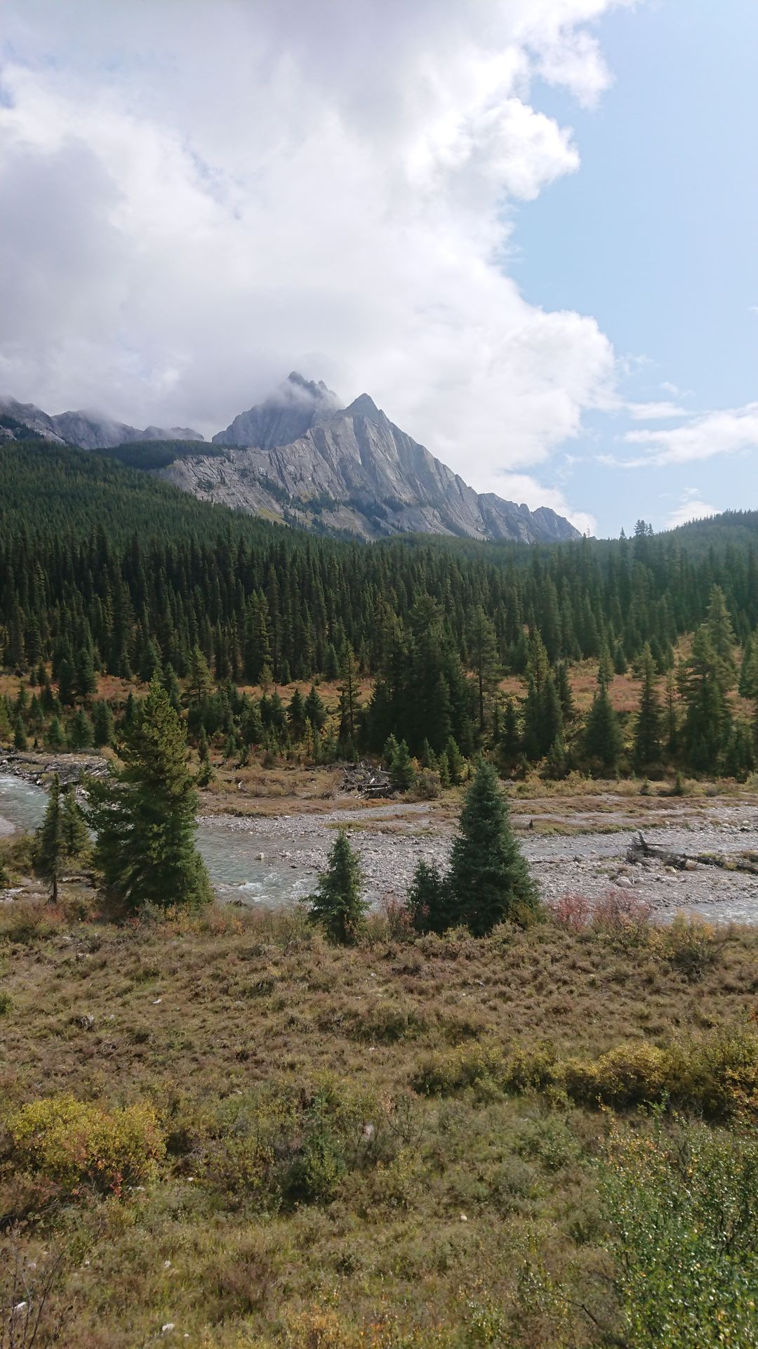
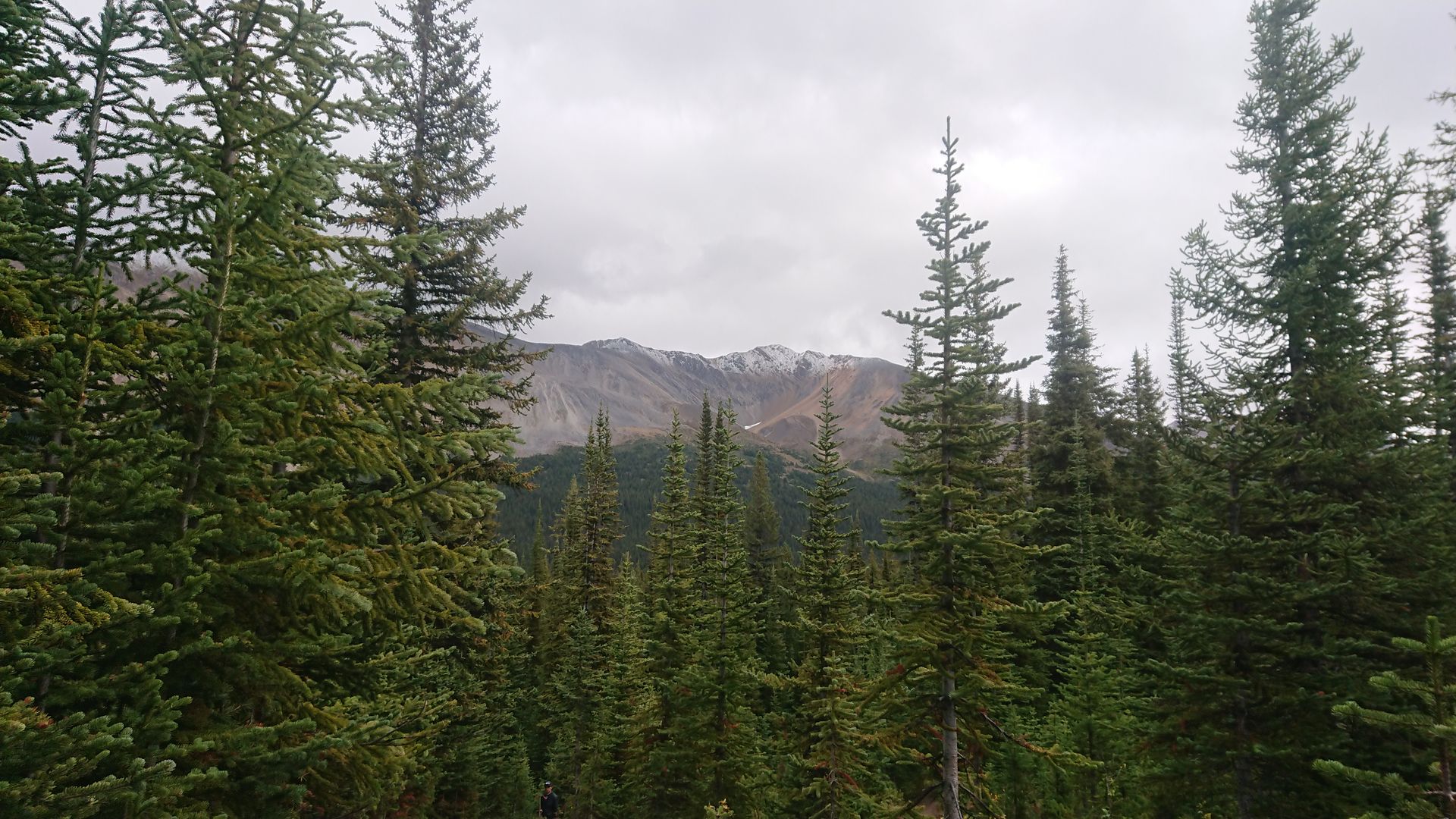
On Friday, I went to Johnston Canyon in Banff National Park. To get there, I had to drive through Yoho National Park, and just before the lower spiral tunnel of the railroad, I saw a train going up. I stopped at the viewpoint, the locomotive had already gone through the entire tunnel, and because the train was so long, the last car hadn't entered the tunnel yet when the front cars passed directly under the viewpoint. Two days ago, when I was waiting at the upper viewpoint, someone told me that there was enough time to drive from the lower to the upper viewpoint and still see the same train there. I tried it and actually saw the train passing through the upper tunnel. Happy that I still had these pictures, I continued on. It started raining along the way and I was afraid that I wouldn't be able to do the hiking trail I had planned. But as soon as I arrived at Johnston Canyon, the rain stopped. My hike took me along Johnston Creek up the mountain. I passed by several smaller waterfalls and the two large waterfalls, Lower Falls and Upper Falls. There were still many people at the Lower Falls, but fewer at the Upper Falls, and only a few took the further path to the Ink Pots. Understandably, because it was a good 5 kilometers uphill from the parking lot to the Ink Pots. But the effort was worth it, the Ink Pots were a very beautiful spot. The name Ink Pots was due to the five small lakes with differently colored water in blue and green tones. The color came from small particles that the water washed off the rocks and floated in the water before sinking slowly. Because not the same amount of water flowed into all the lakes, these particles had more or less time to sink, which resulted in the different colors. Behind the lakes flowed a wide but not deep river with a beautiful panorama that I finally saw properly without the mountain peaks being stuck in the clouds. After enjoying it to the fullest, I began the descent. Now, in the early afternoon and with nice weather, there were significantly more people at the canyon who kept blocking the narrow path. But I managed to make it all the way down. Since I didn't have any further plans, I drove to the town of Banff and drove around a bit, but I didn't feel like getting out, so I soon returned to my accommodation and had a cozy evening.
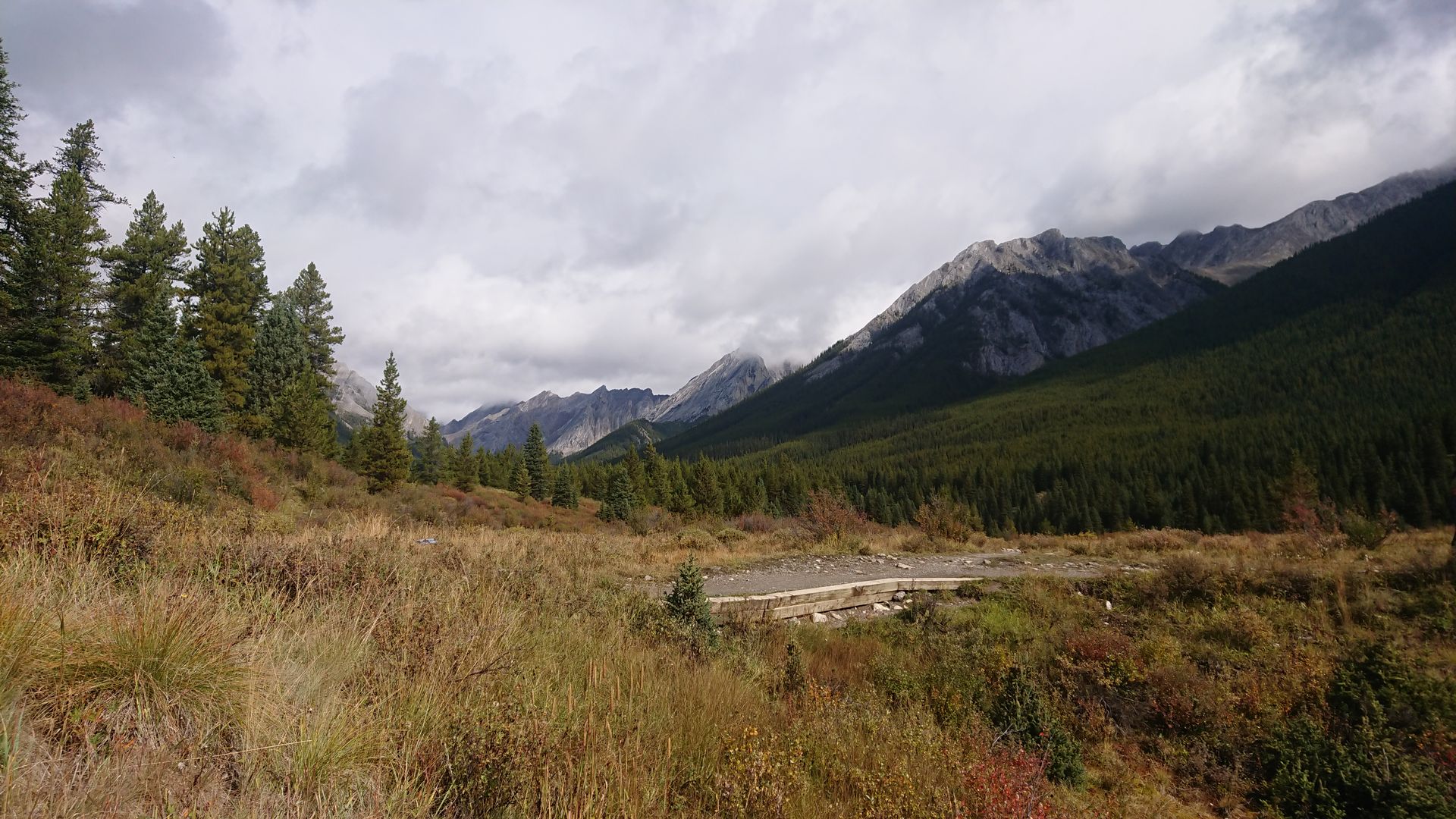
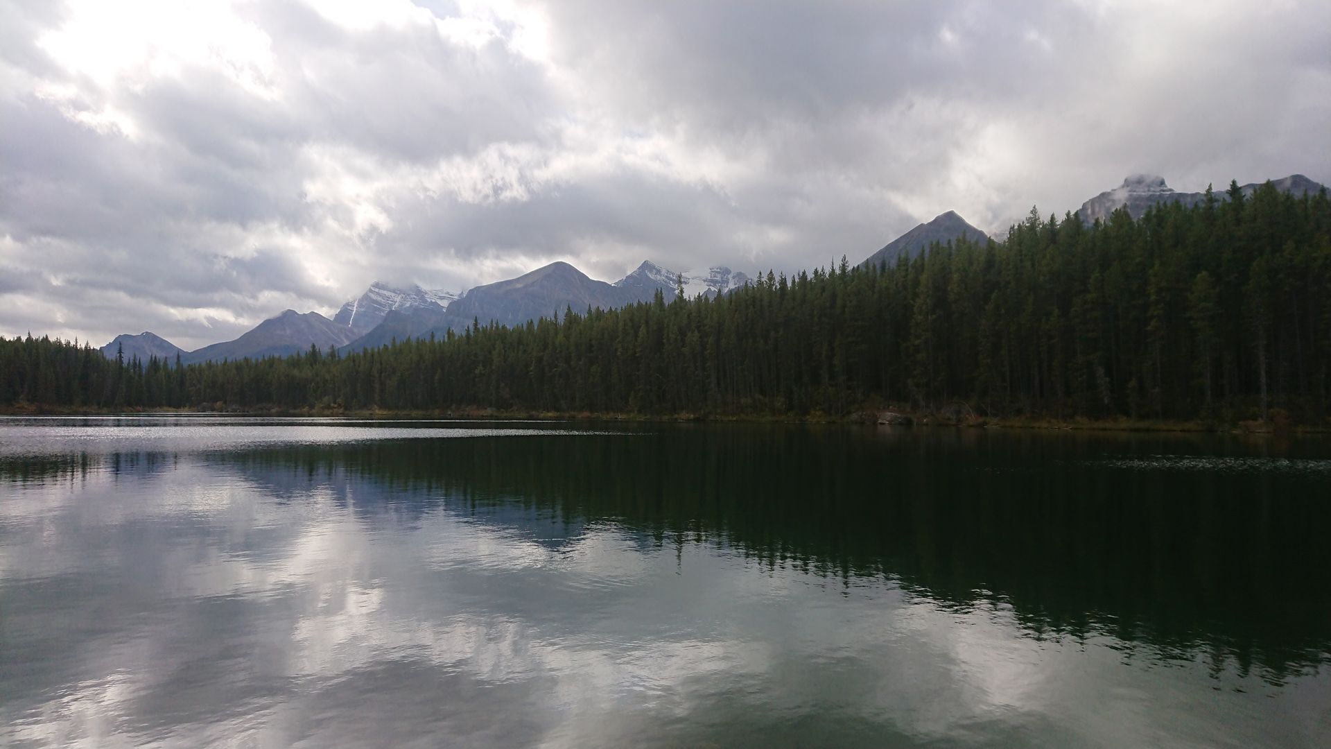
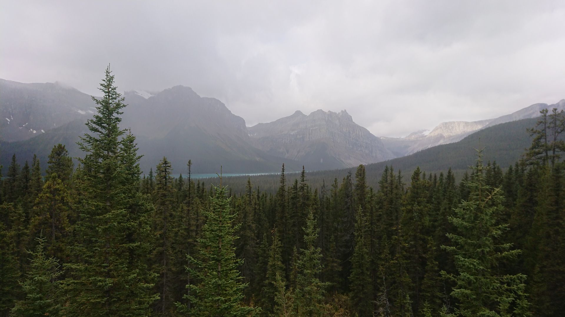
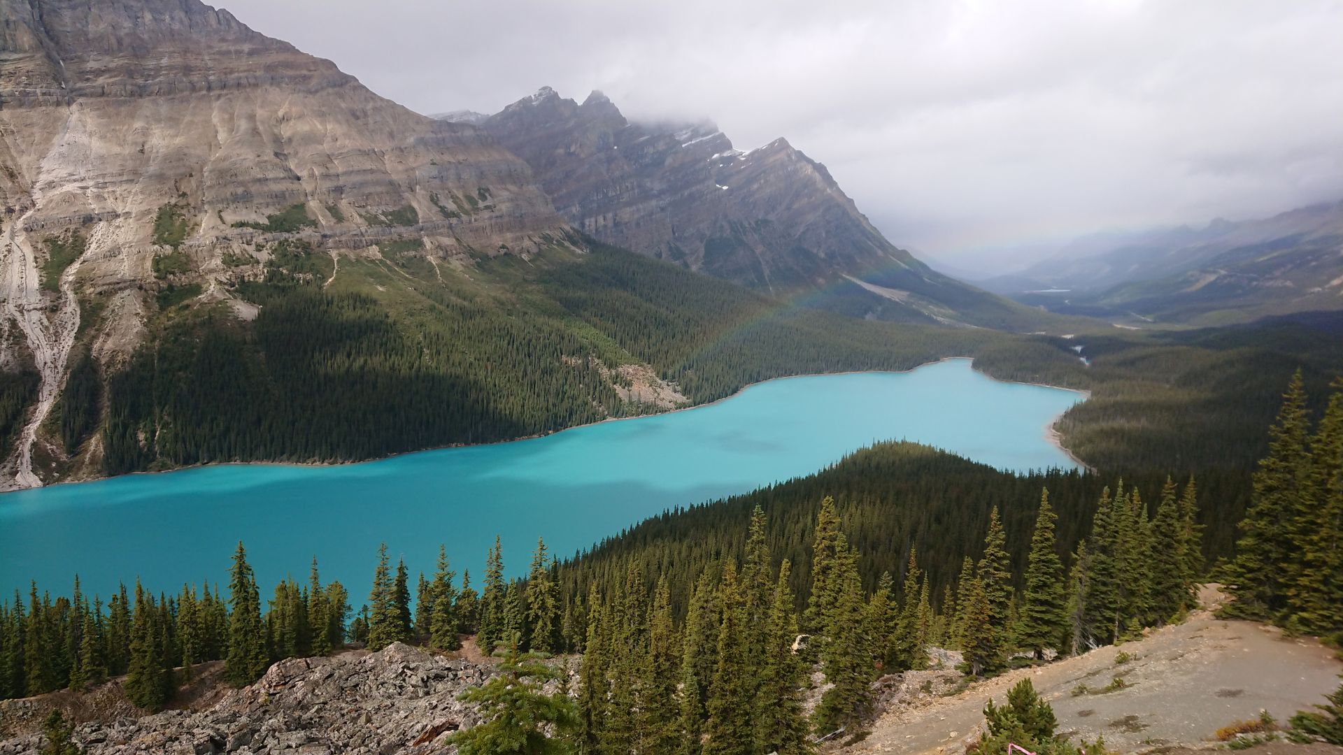
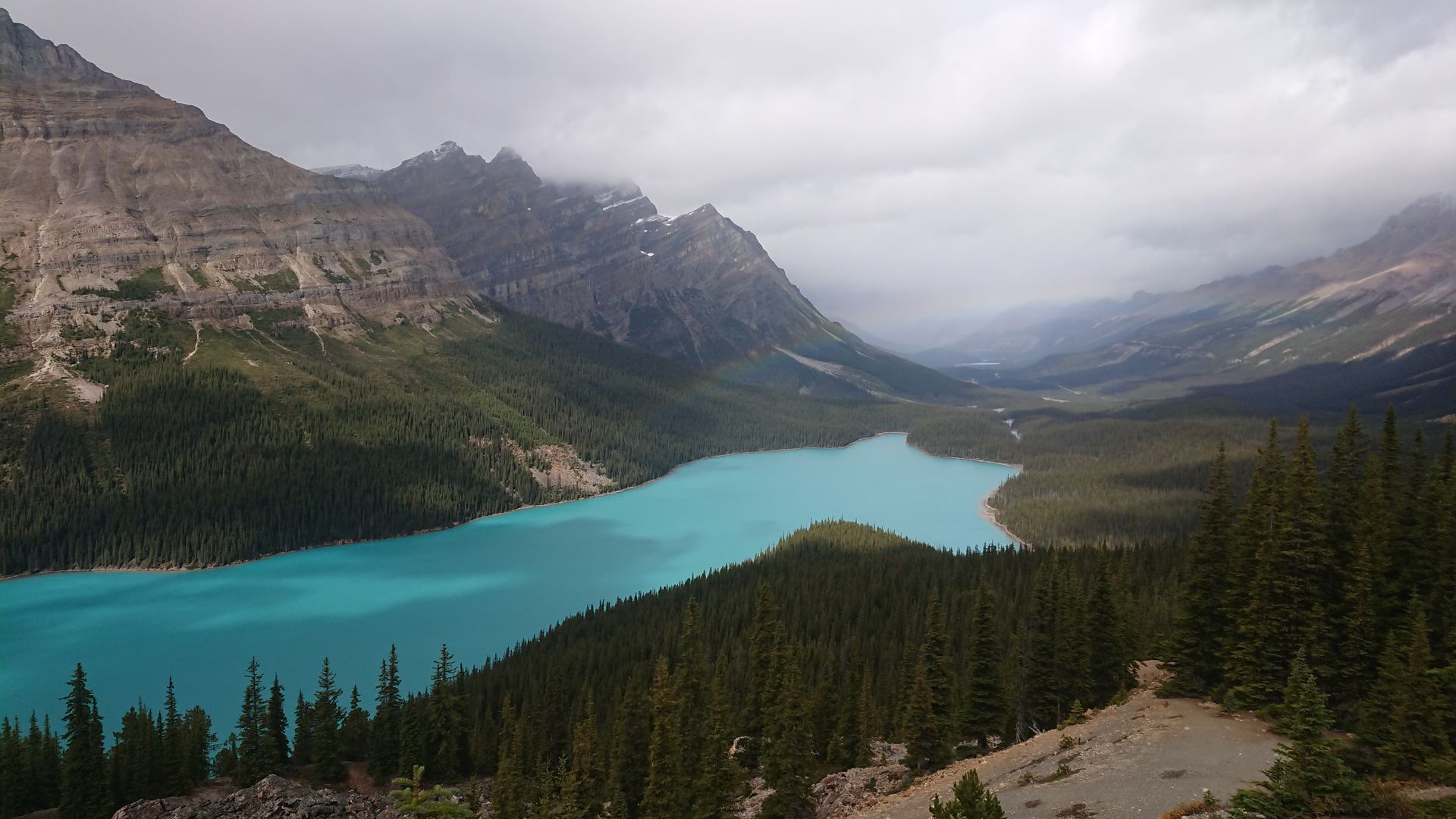
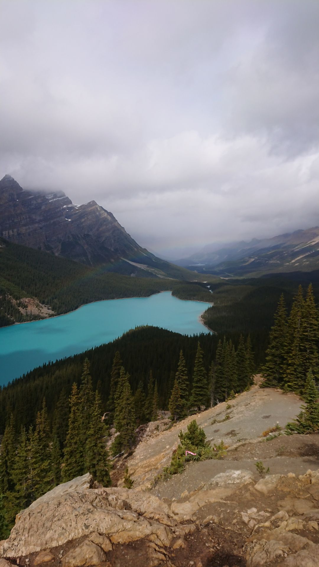
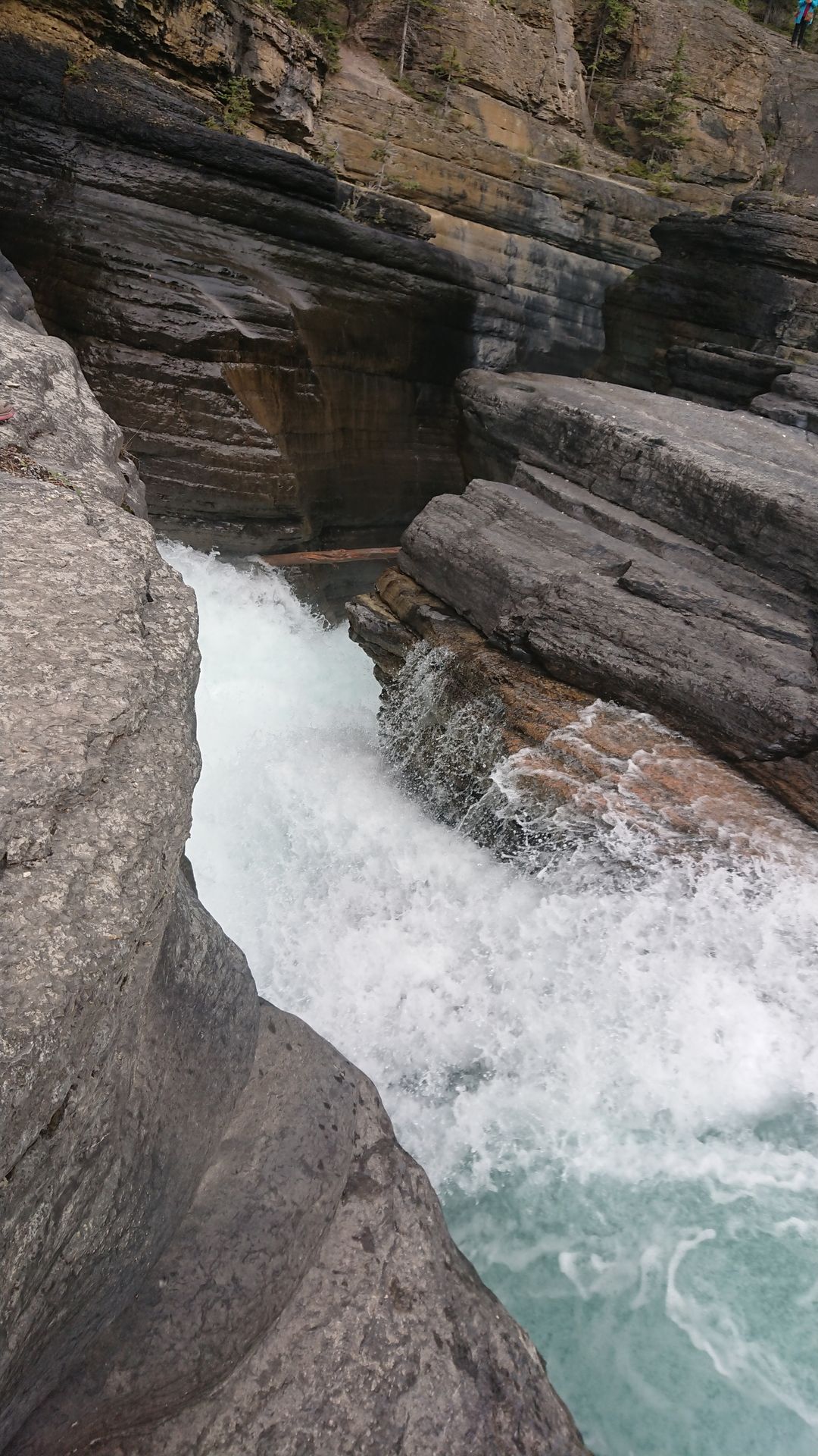
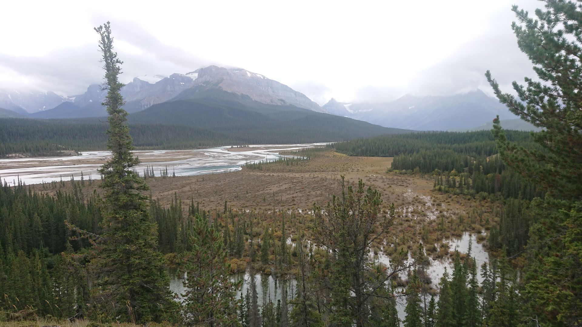
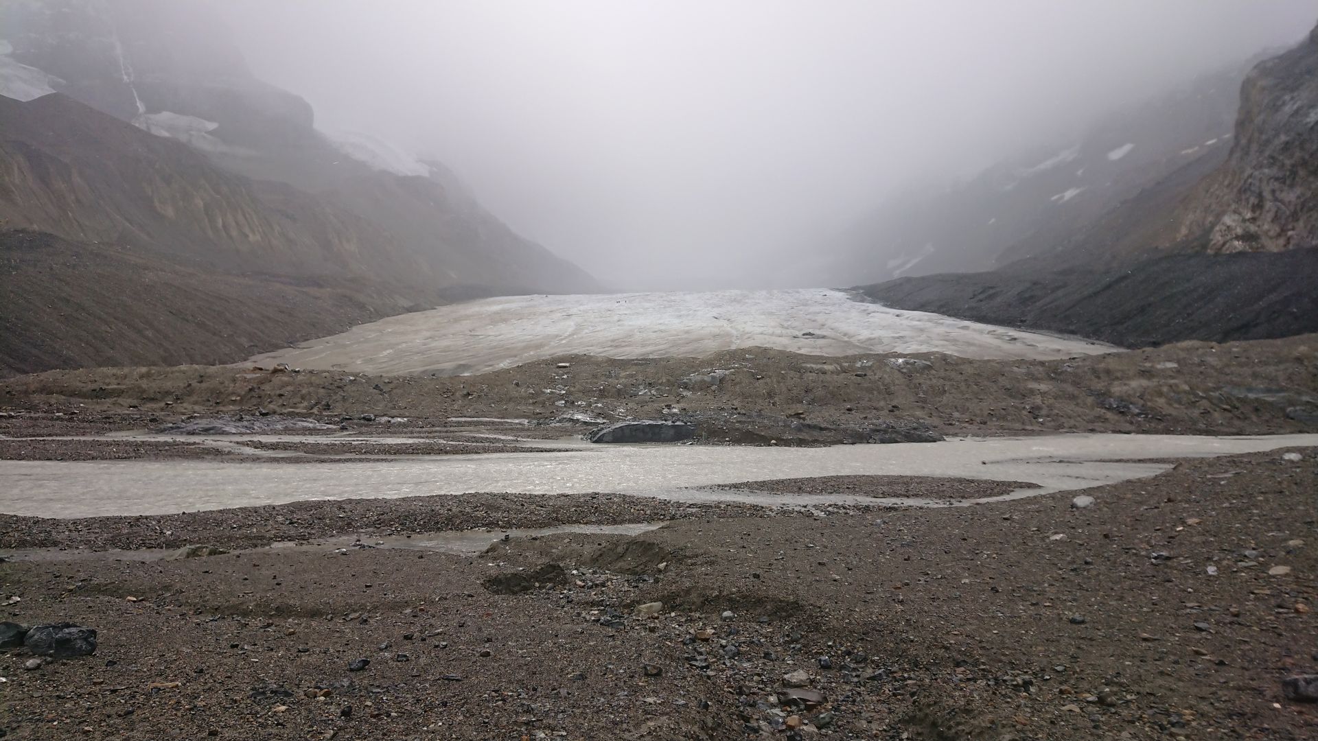
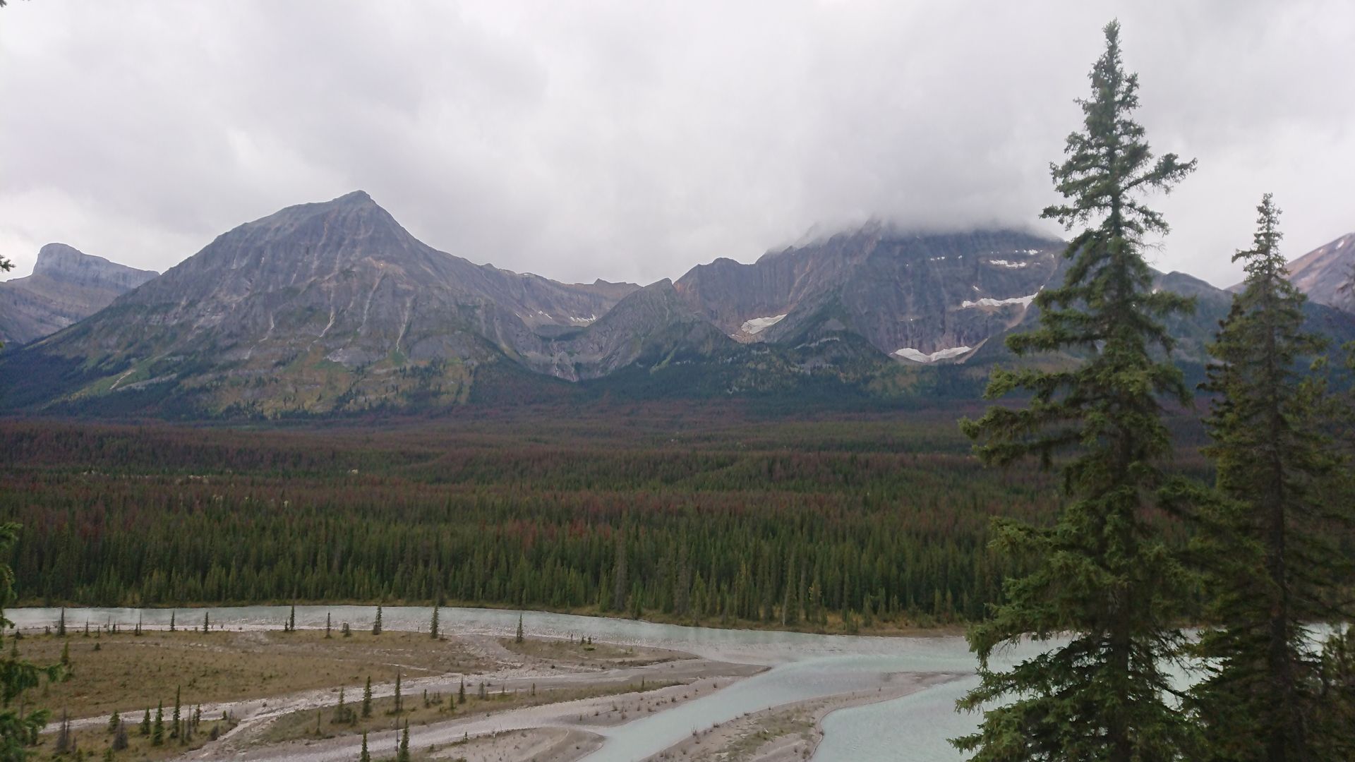
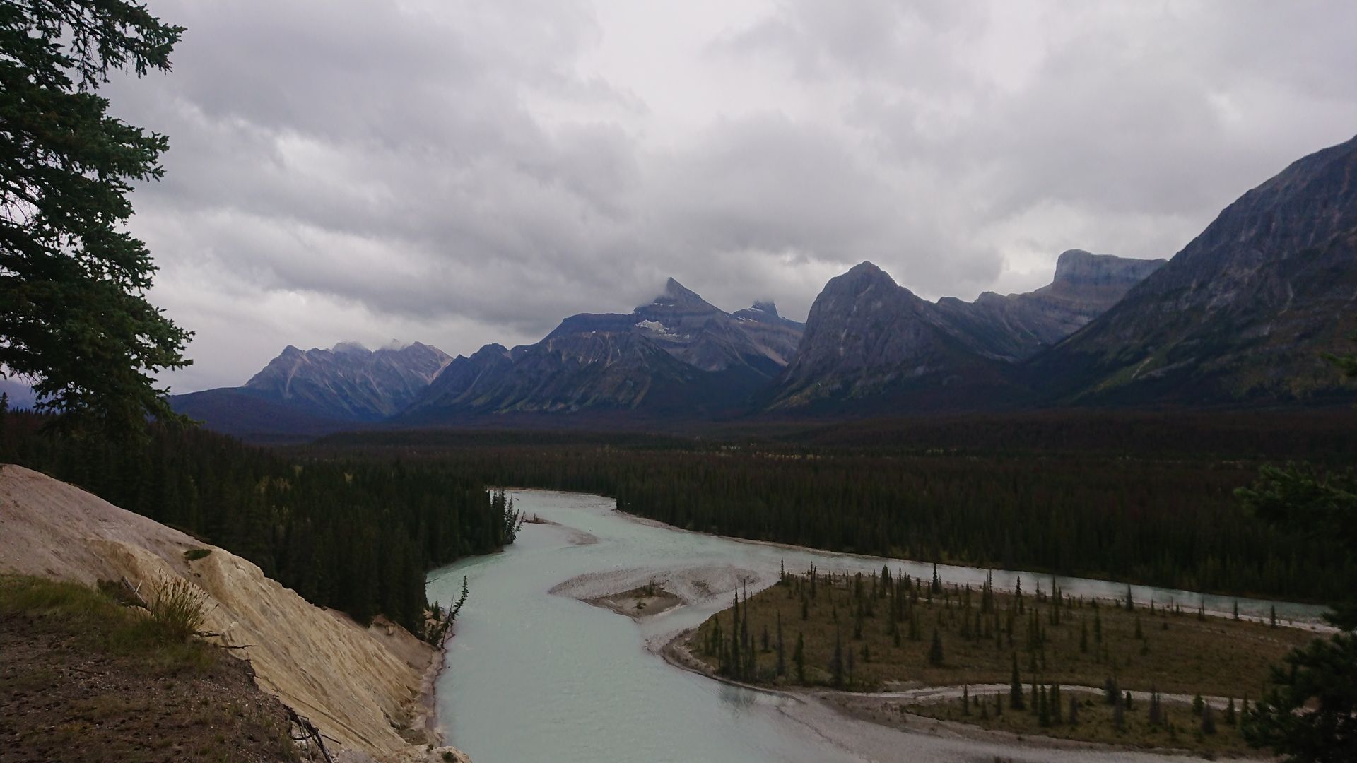
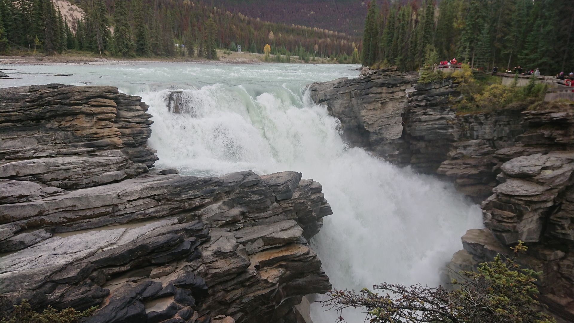
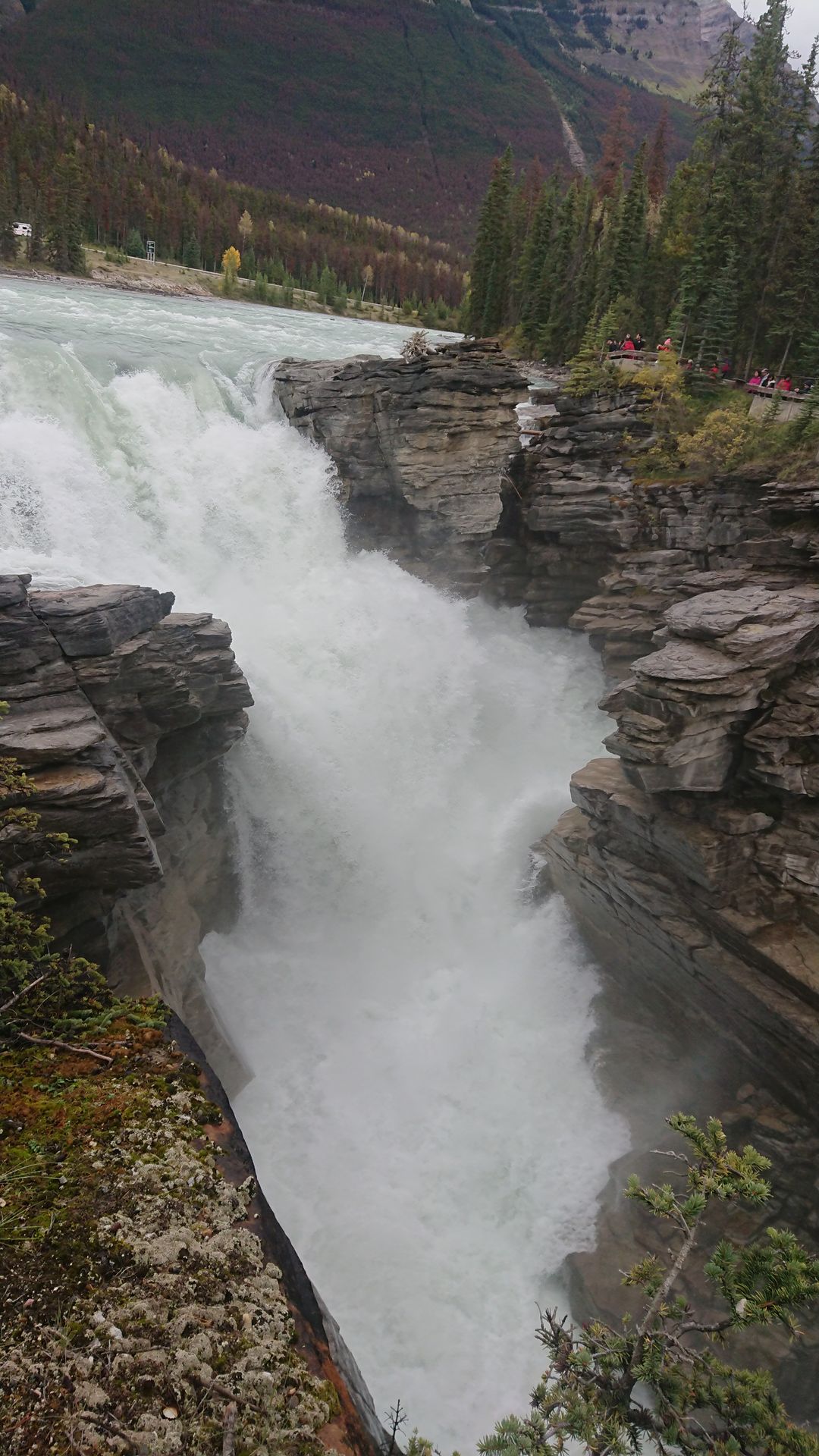
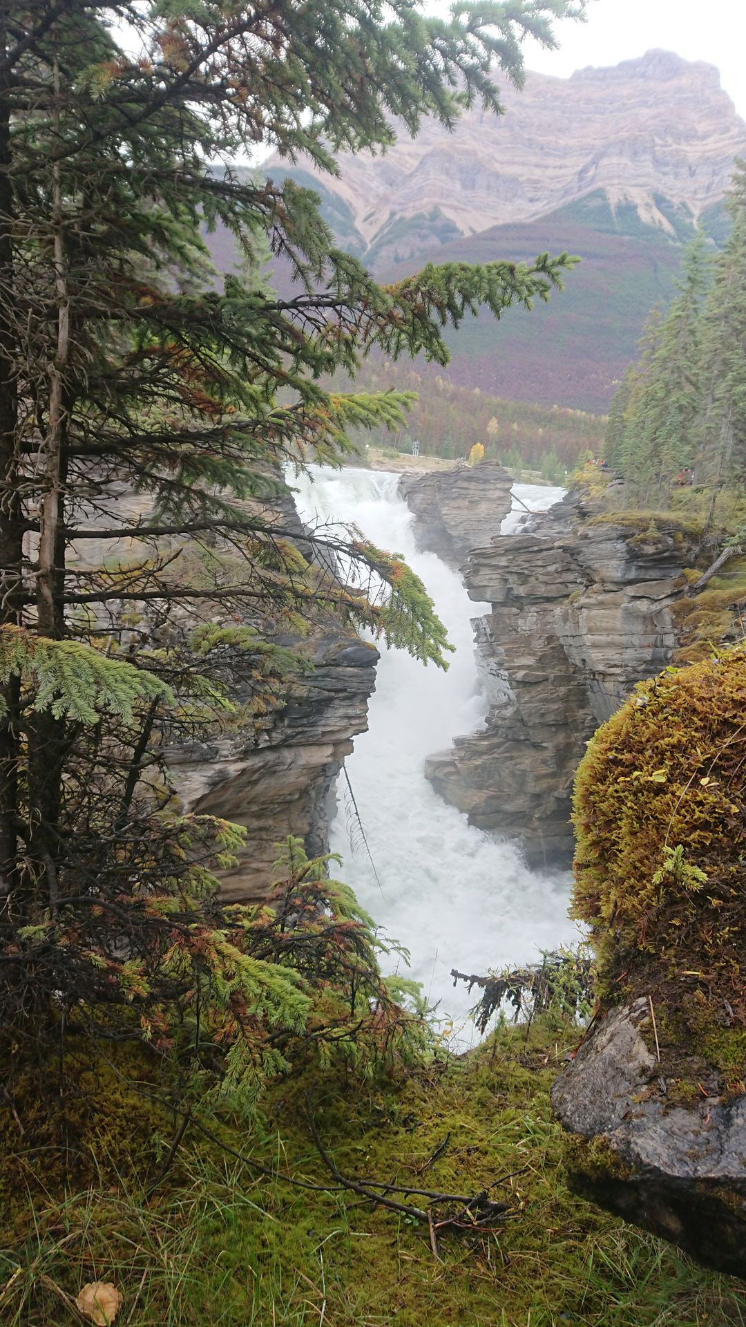
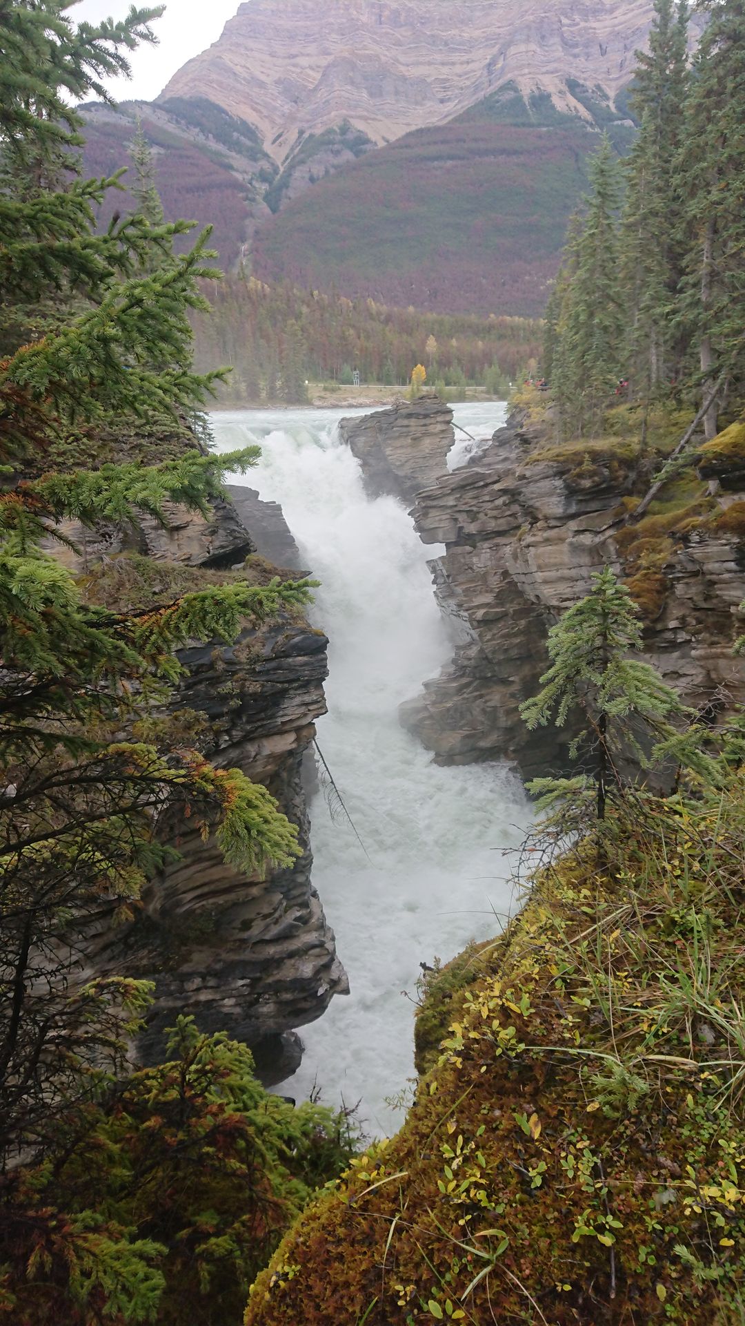
On Saturday, I headed towards Jasper. First, I drove on the Trans Canada Highway through Yoho National Park and then, just before Lake Louise, I turned onto Highway 93, better known as the Icefields Parkway, towards Jasper. I made several stops on the Parkway, first at the three lakes Herbert Lake, Hector Lake, and Peyto Lake, then at Mistaya Canyon, at a viewpoint from where I could see the Saskatchewan River Plains, at Panther Falls, at the Columbia Icefield where I could walk on a short path close to the Athabasca Glacier, but because it was raining and very windy, I quickly turned back and returned to the car. The last photo stop I made was at the Athabasca Falls. With so many stops, I was on the road all day, even though the actual driving time from Golden to Jasper was only just under 4 hours.
Debanye aha na akwụkwọ akụkọ
Zaa
Akụkọ njem Canada