Bolivia - La Paz, Lake Titicaca and the Choro
Diterbitkan: 30.11.2017


Berlangganan Newsletter
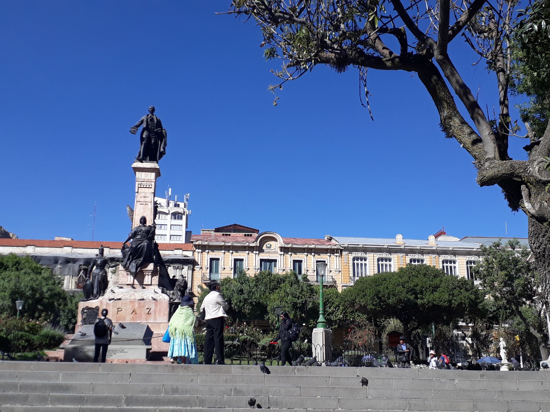
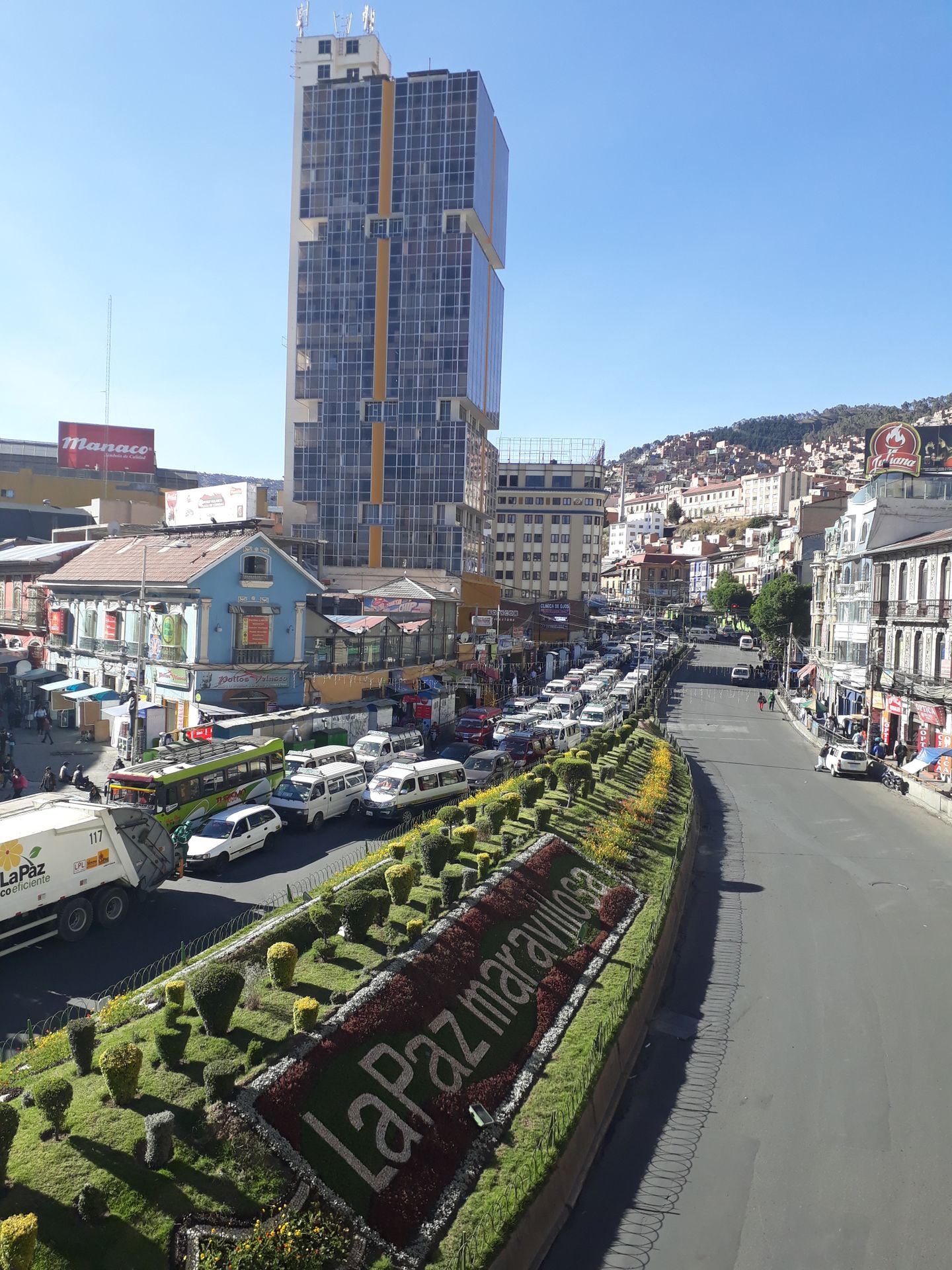
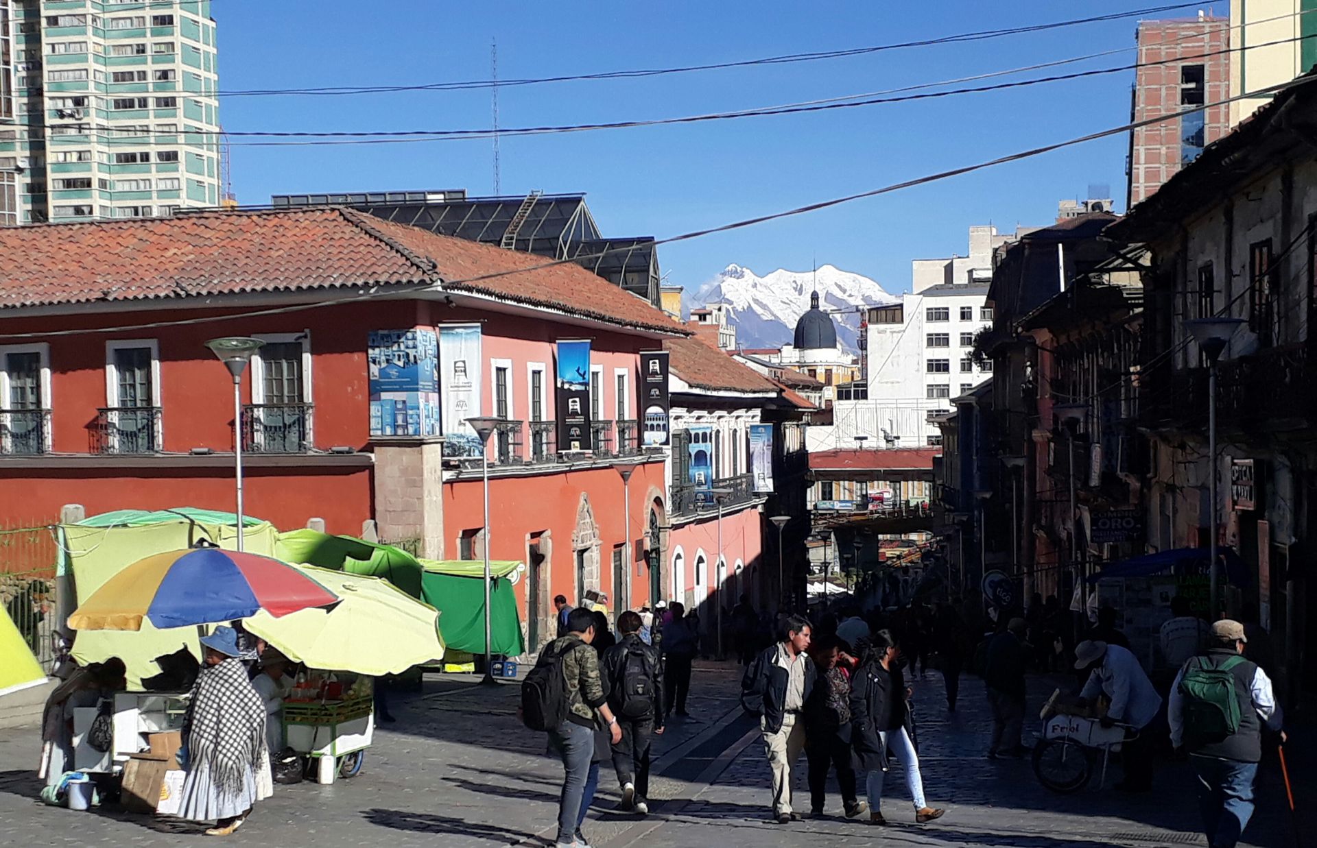
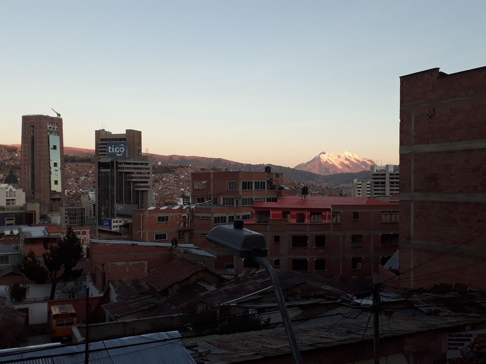
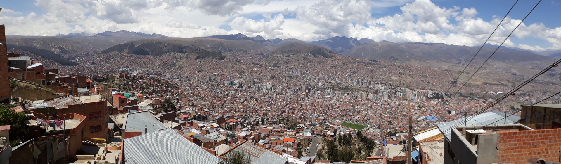
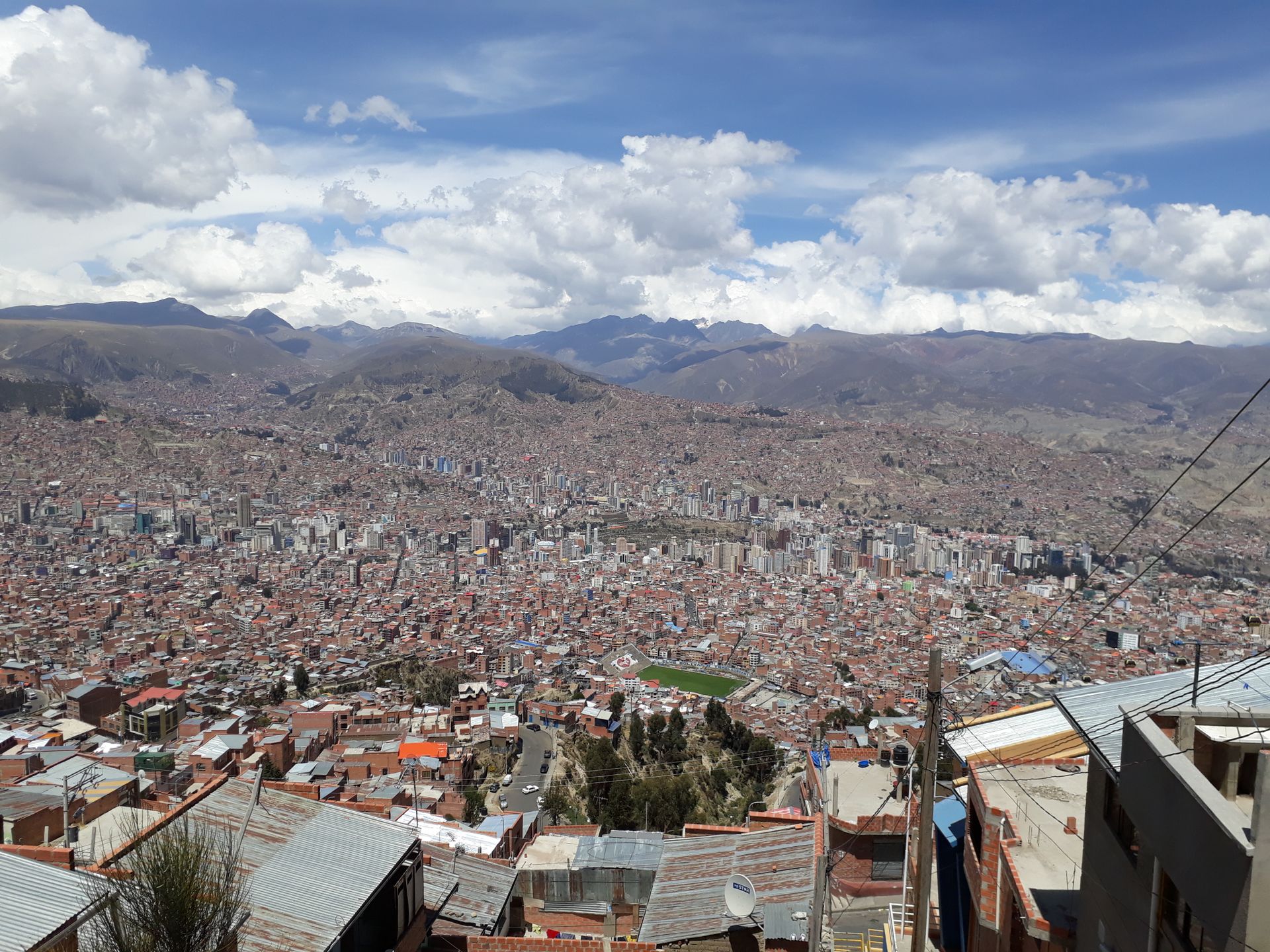
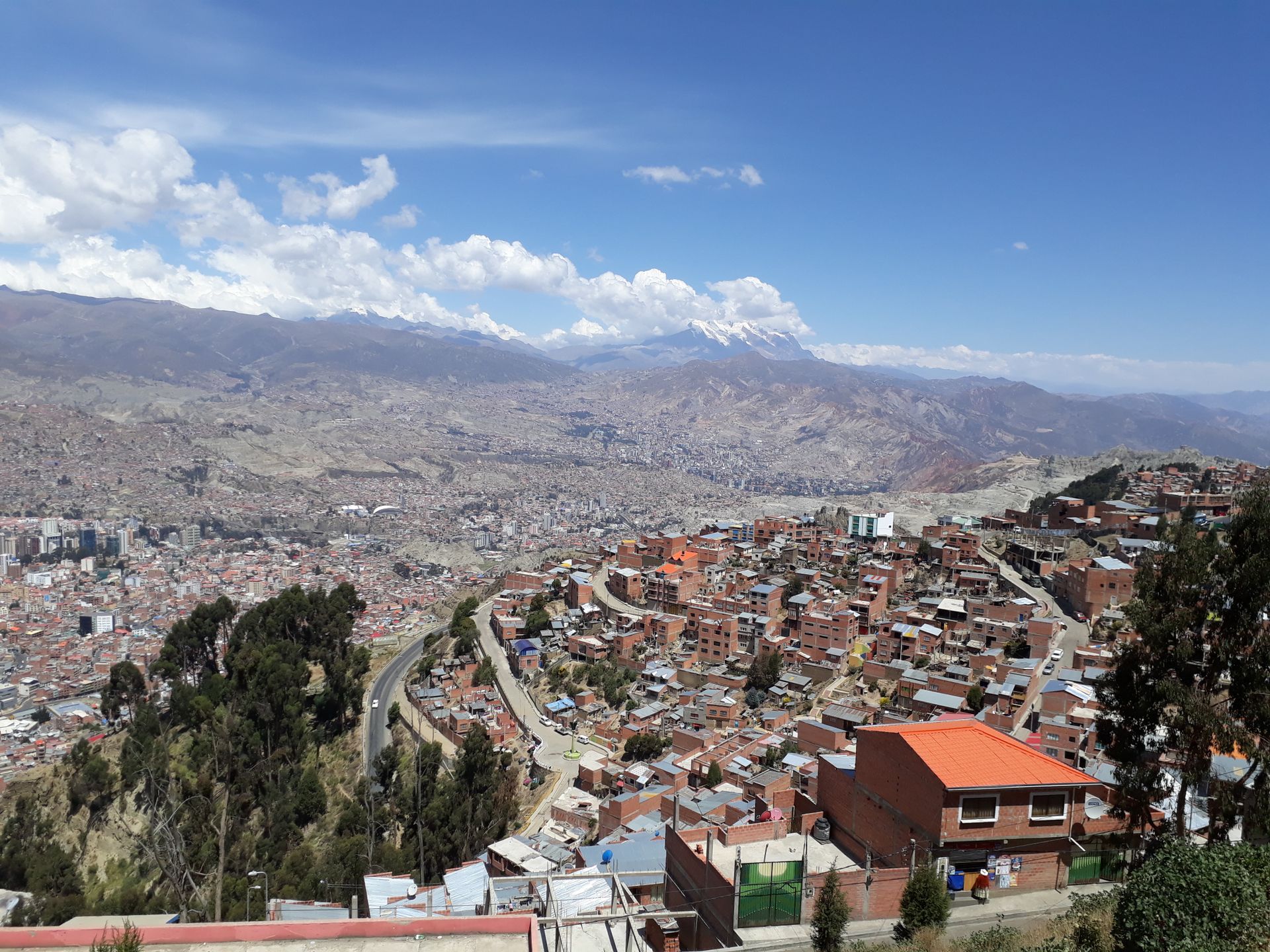
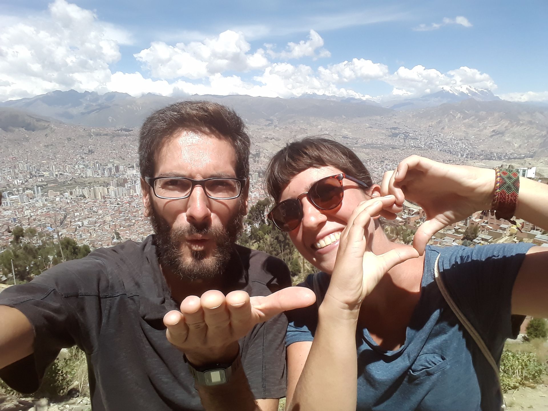
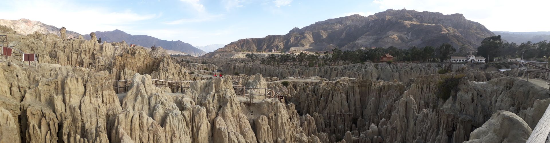
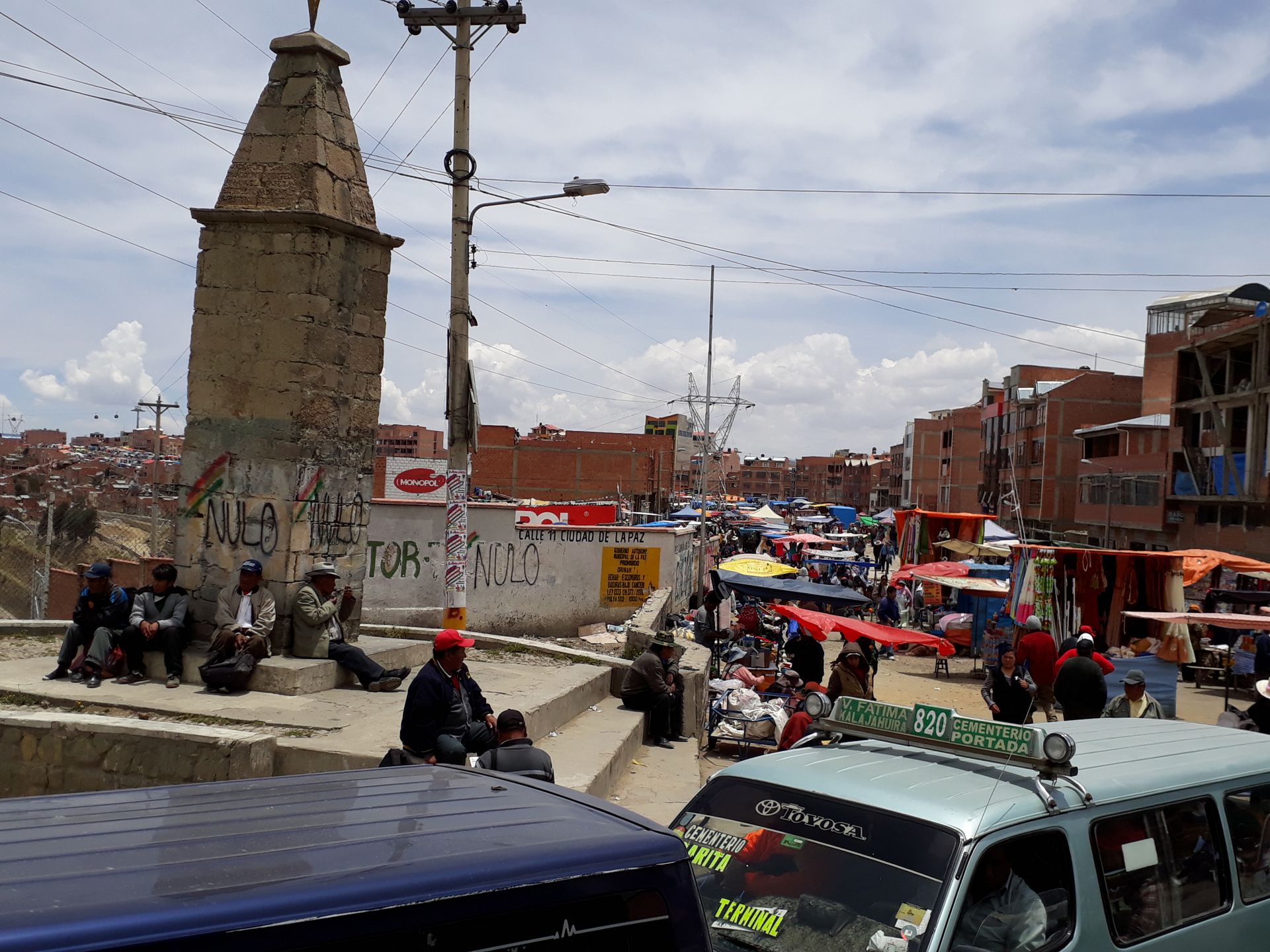
In La Paz we spend the first 3 nights at Luis', a rather strange but nice Bolivian guy we contacted through Couchsurfing. He lives in the Cota Cota neighborhood in the southeast of the city, and not far from his apartment is one of the cable cars that go from La Paz up to El Alto. El Alto, located mainly on high mountain slopes and on the plateau, used to be a district of La Paz, which is located more in the valley. In the 80s, El Alto became an independent city, which is now even larger than La Paz itself, and the transition from one city to the other is fluid. On the first evening, the three of us take the cable car up there and admire the sea of lights. In the following days, we get to know the center with its old town, take another ride up the cable car during the day, and visit the valley de la luna (valley of the moon - a geologically interesting formation not far from Cota Cota). Since we only received a 30-day travel permit upon entry, we also have to go to the immigration office to extend our stay, which surprisingly goes smoothly and quickly. La Paz is full, noisy, polluted, chaotic, and has a real problem with traffic. There are few private cars, almost all of them are trufis (minibuses), taxis, and buses, and those who drive a car here probably drive anywhere in the world. Despite all this, we really like it here. The city has its own charm, is located in an incredible environment, and is influenced by the Aymara culture. Quite special and definitely one of the cities that has made a lasting impression and will be remembered. The second highest mountain in Bolivia, named Illimani, can be seen perfectly from the city on clear days, and numerous other snow-covered peaks surround the Bolivian government seat, which is located at almost 4000 m above sea level. Climbing up and down the many slopes can be quite exhausting due to the thin air up here 😅
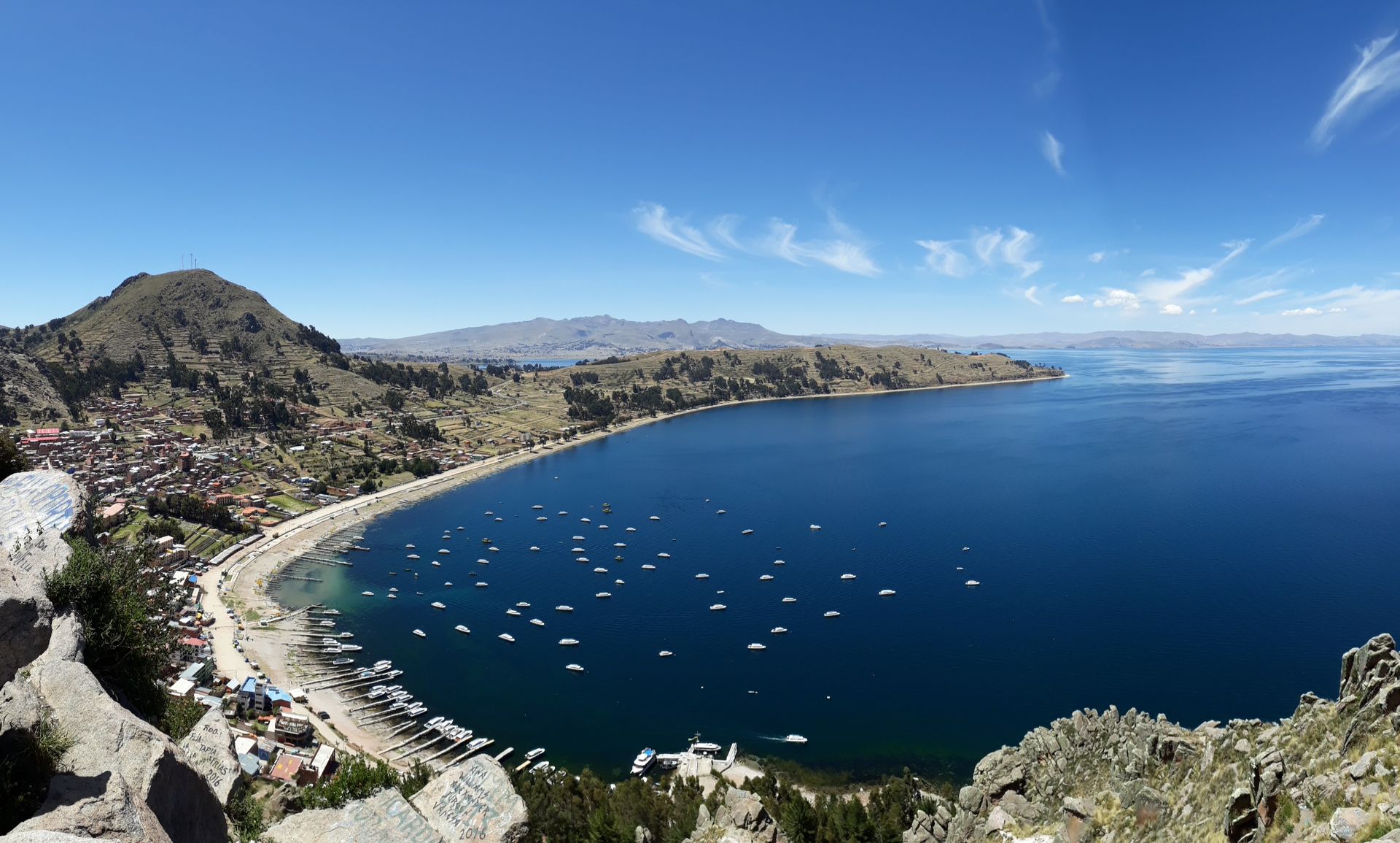
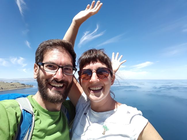
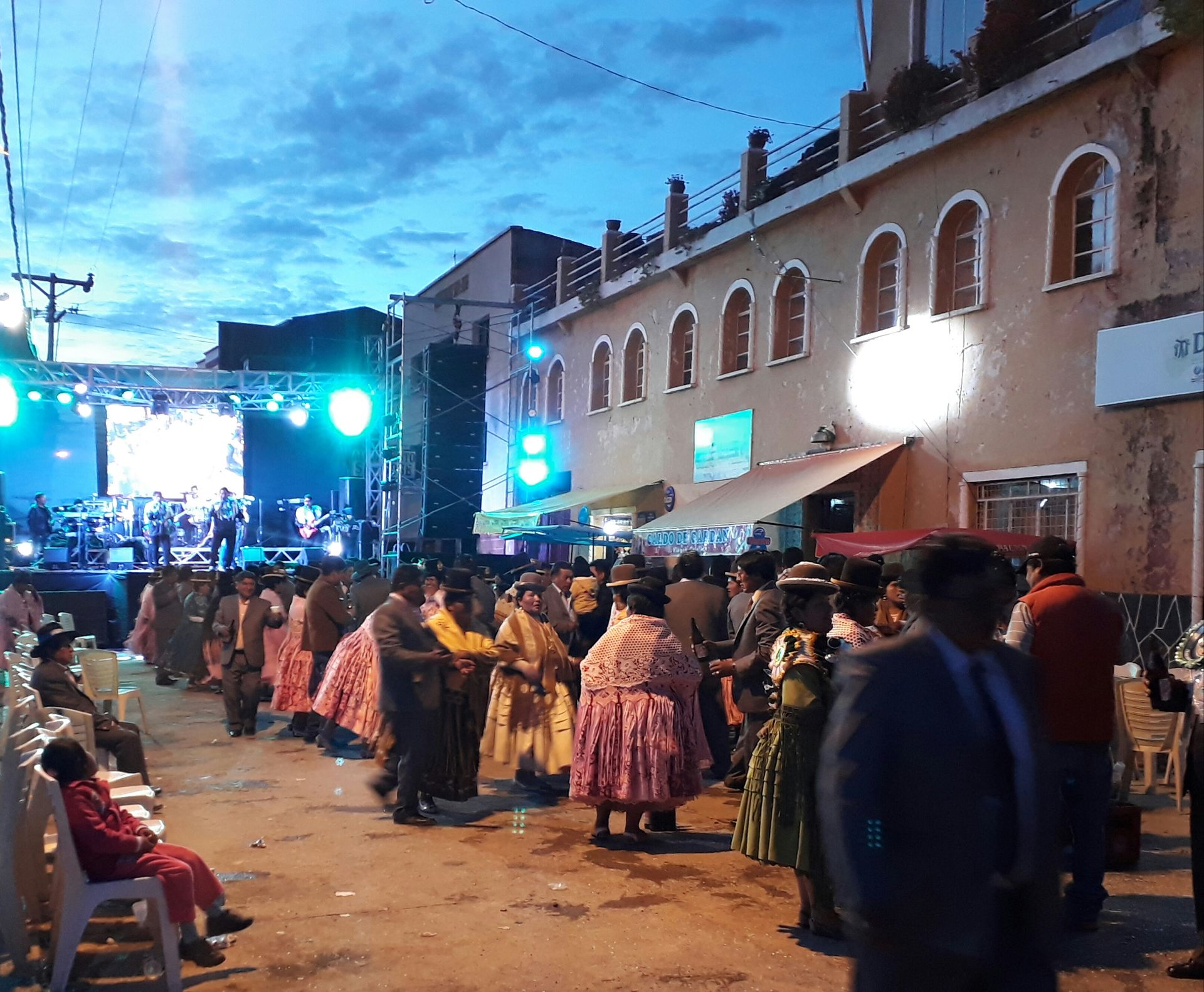
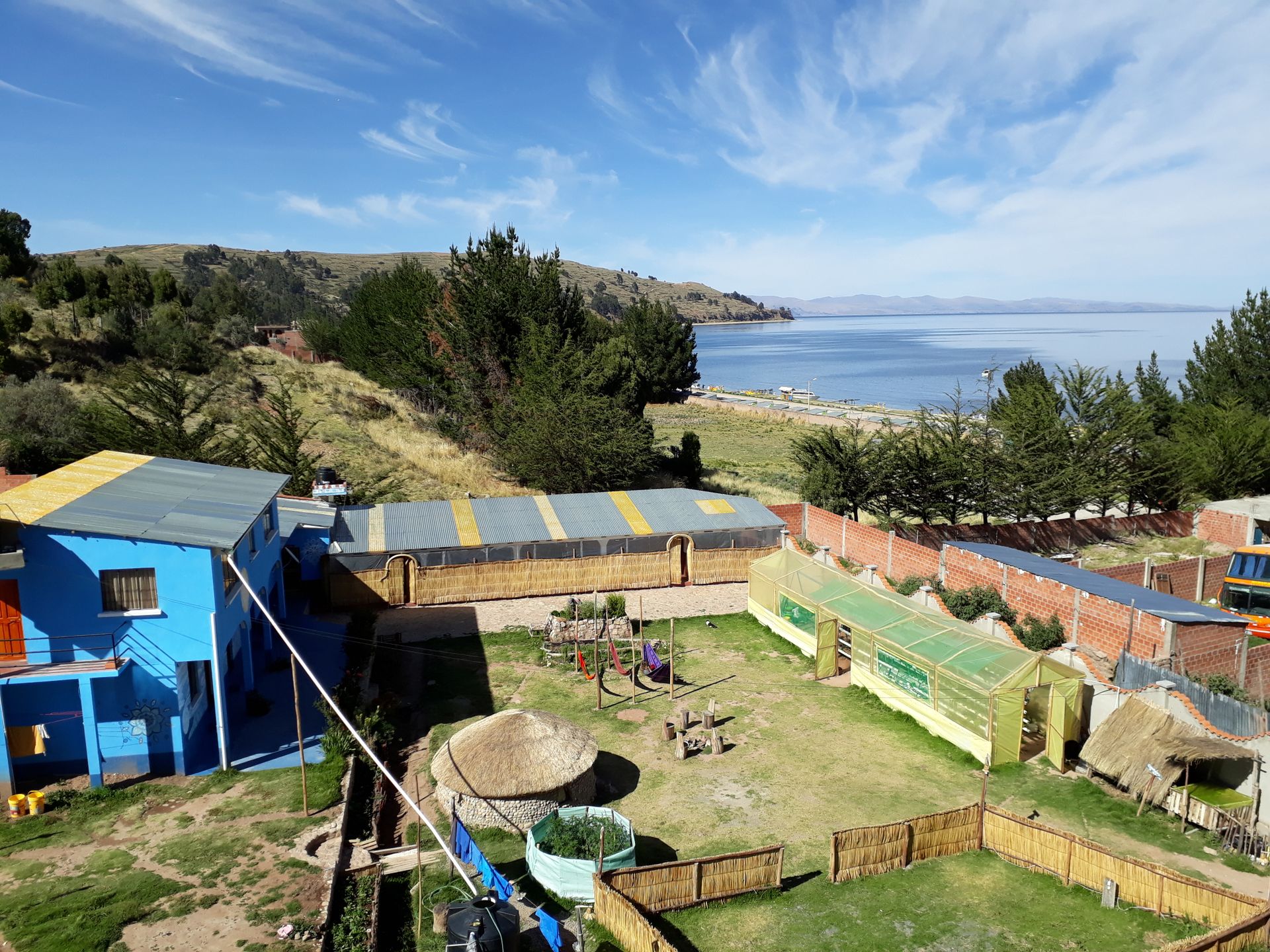
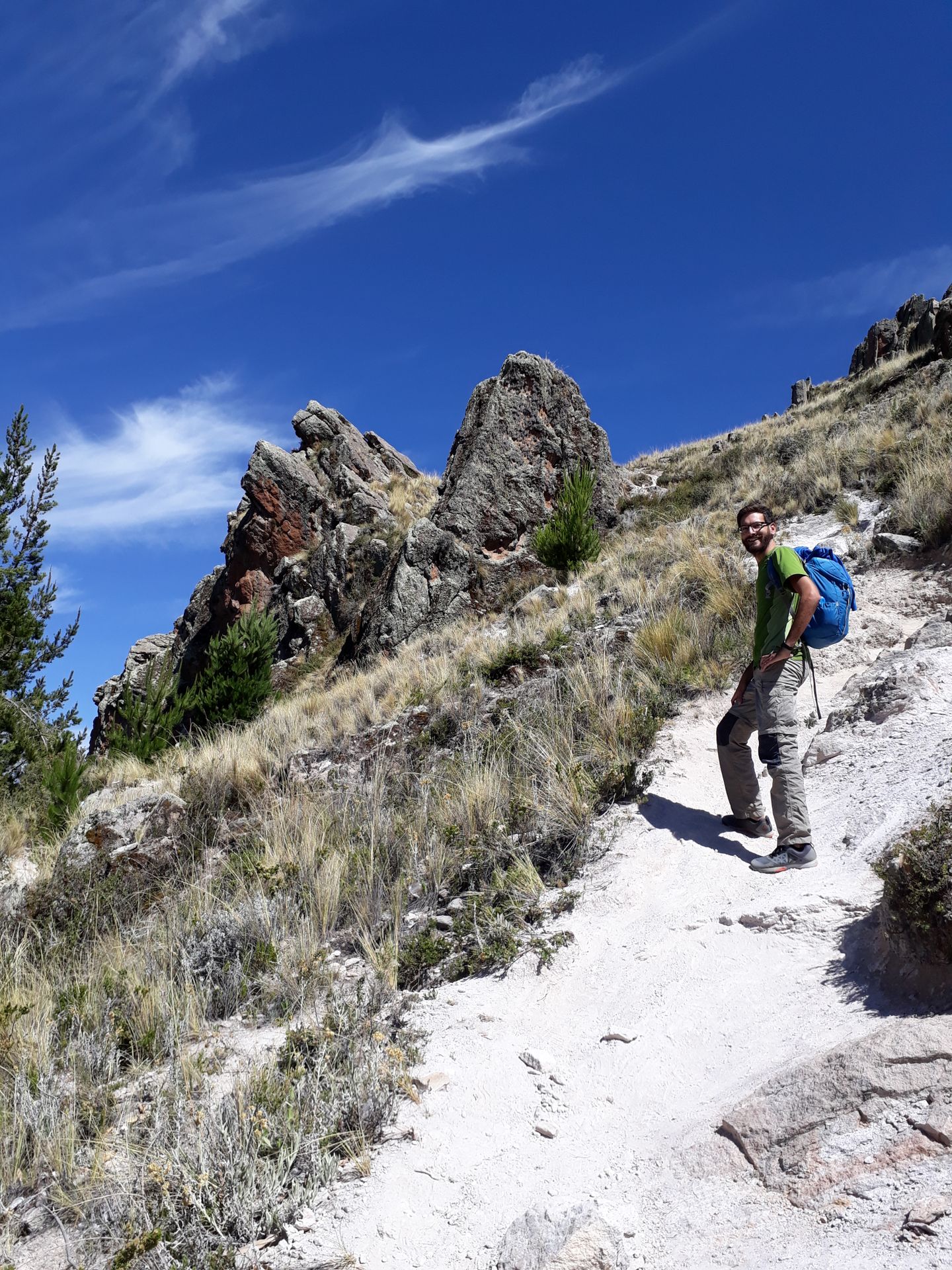
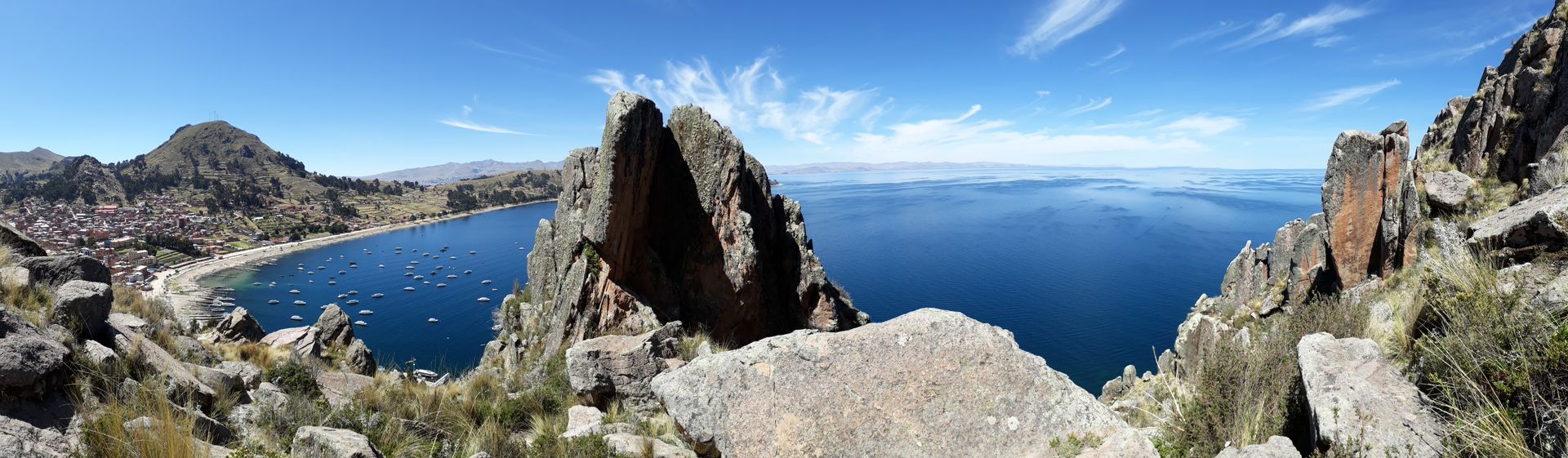
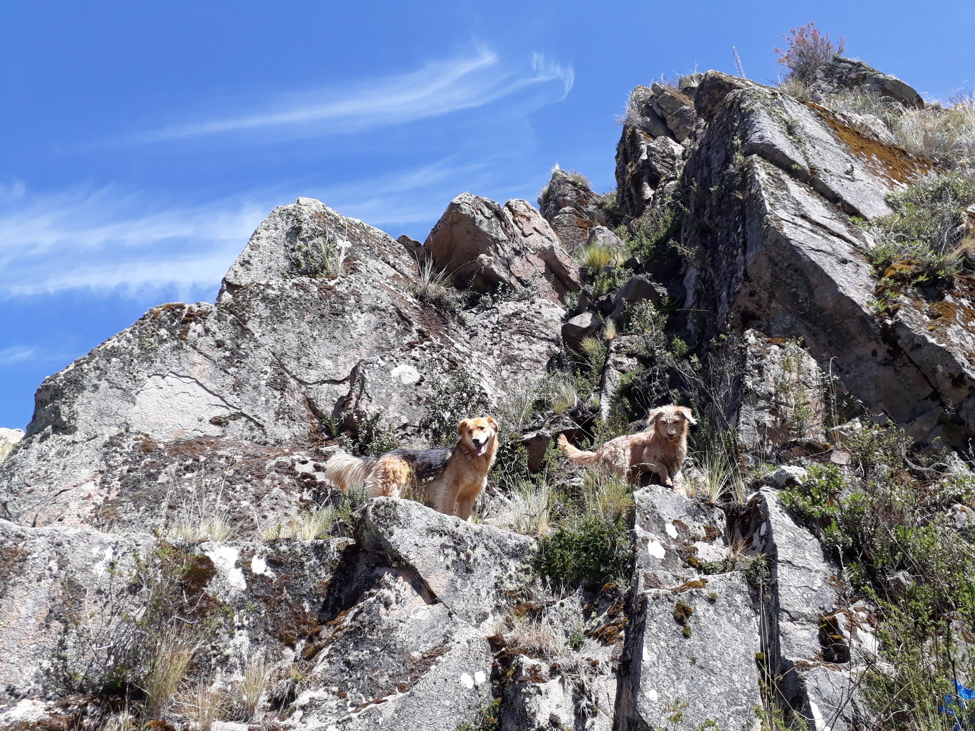
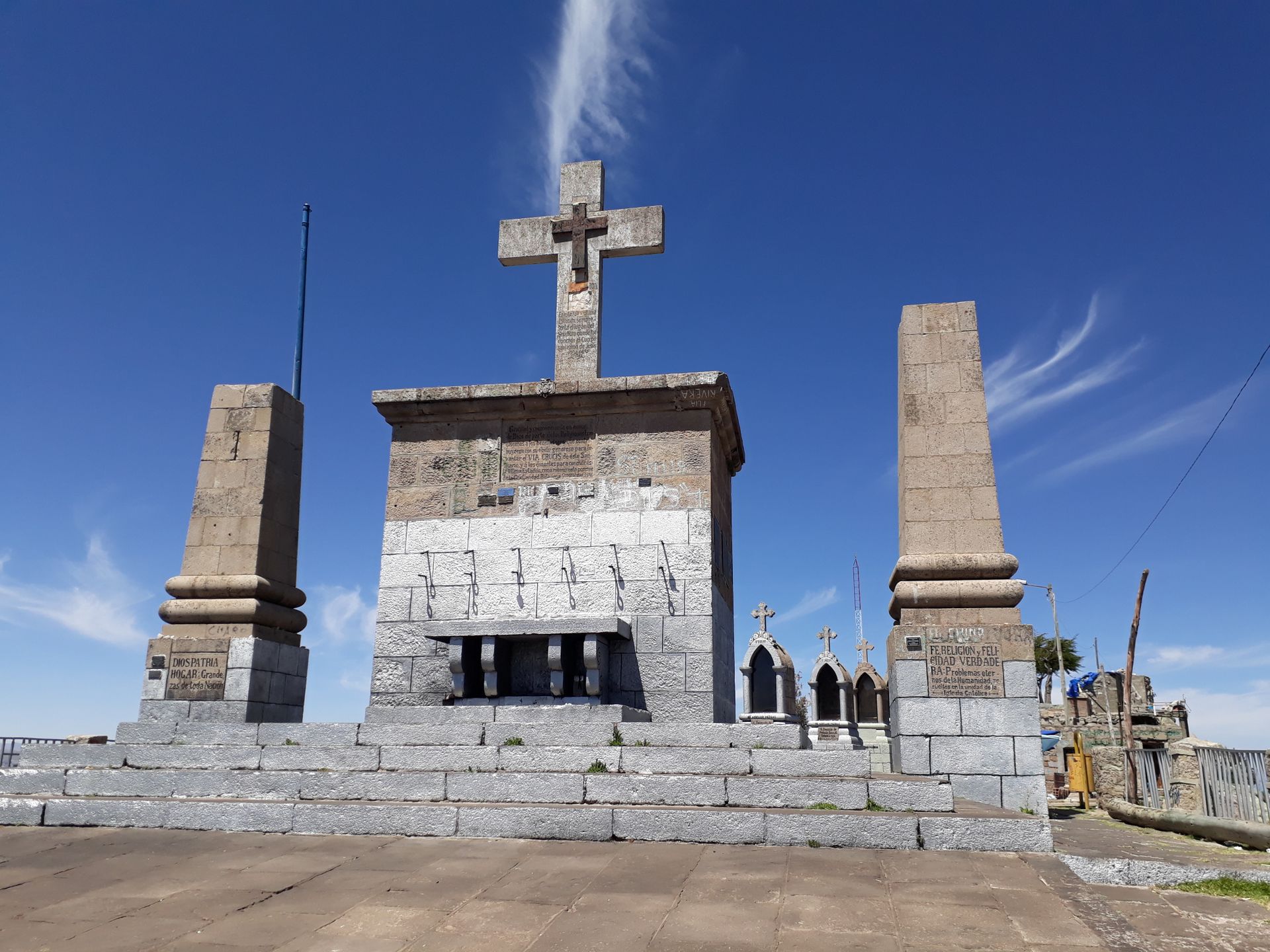
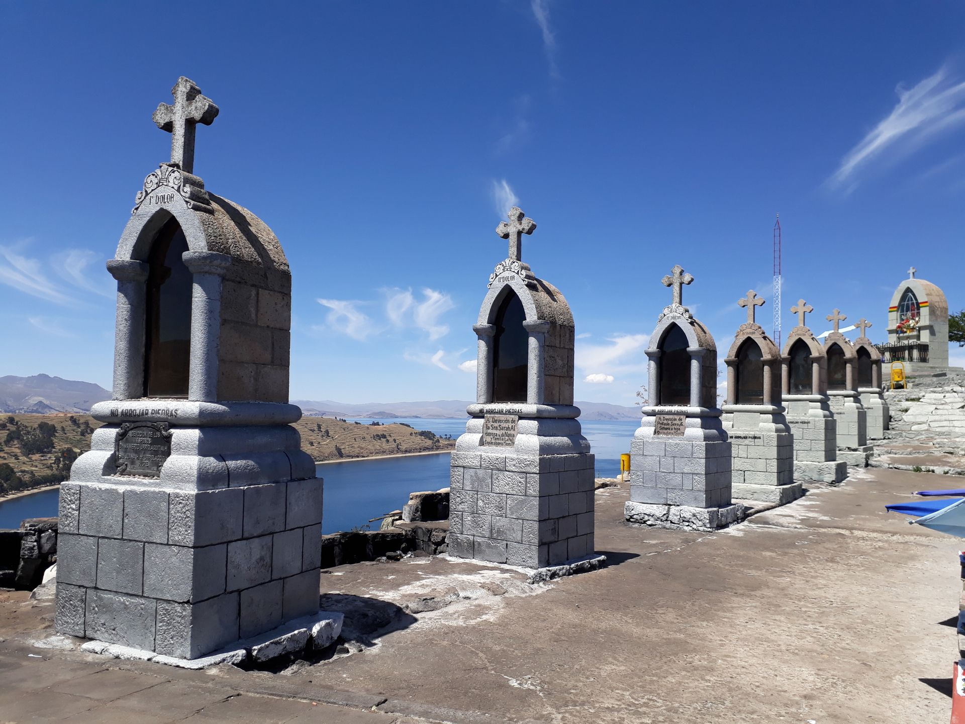
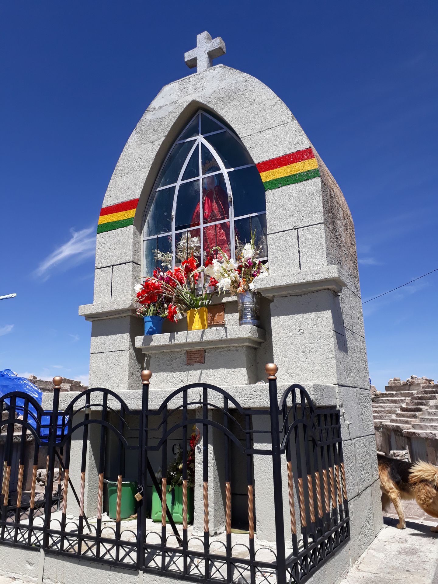
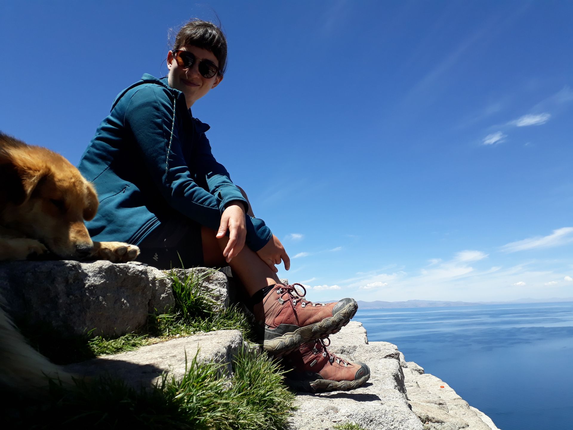
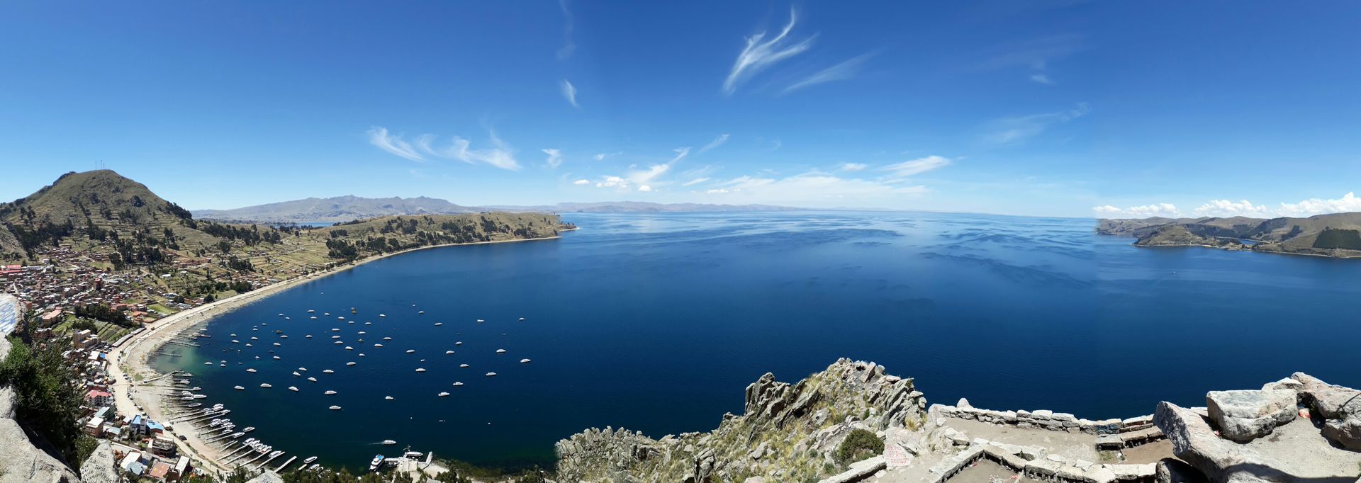
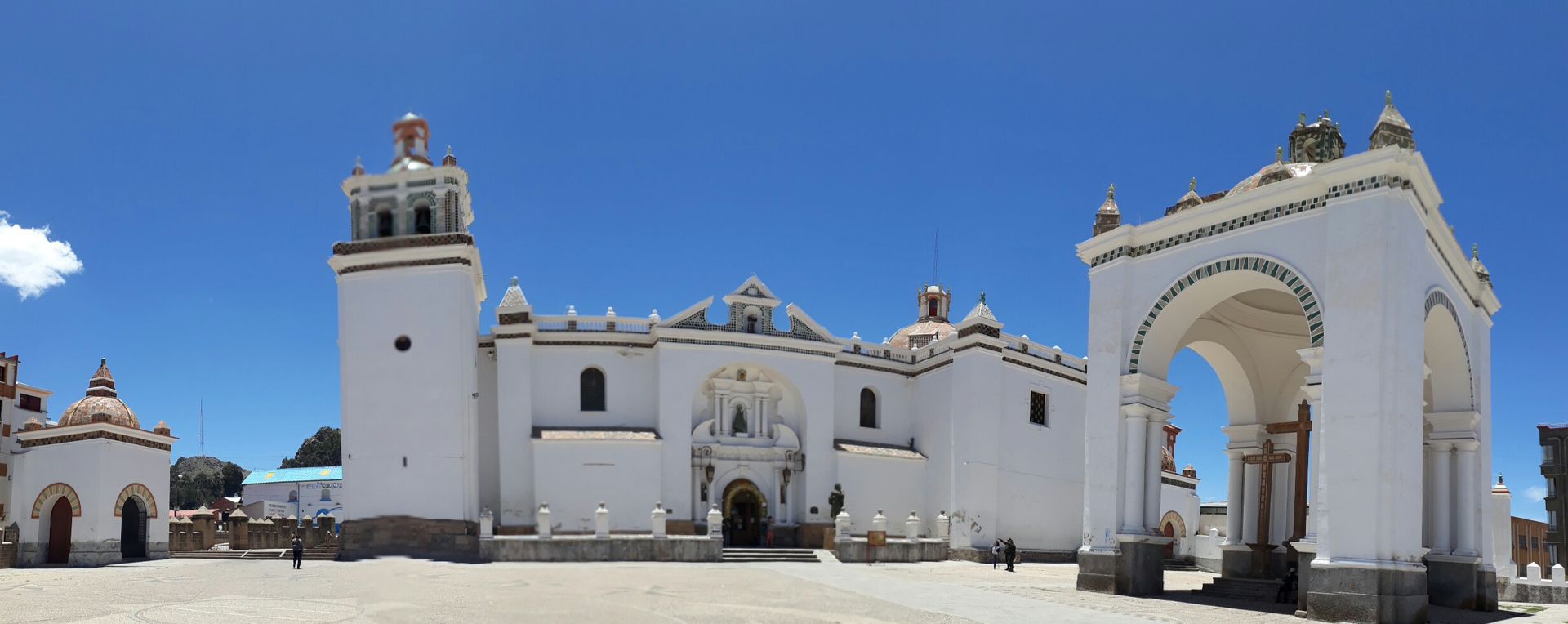
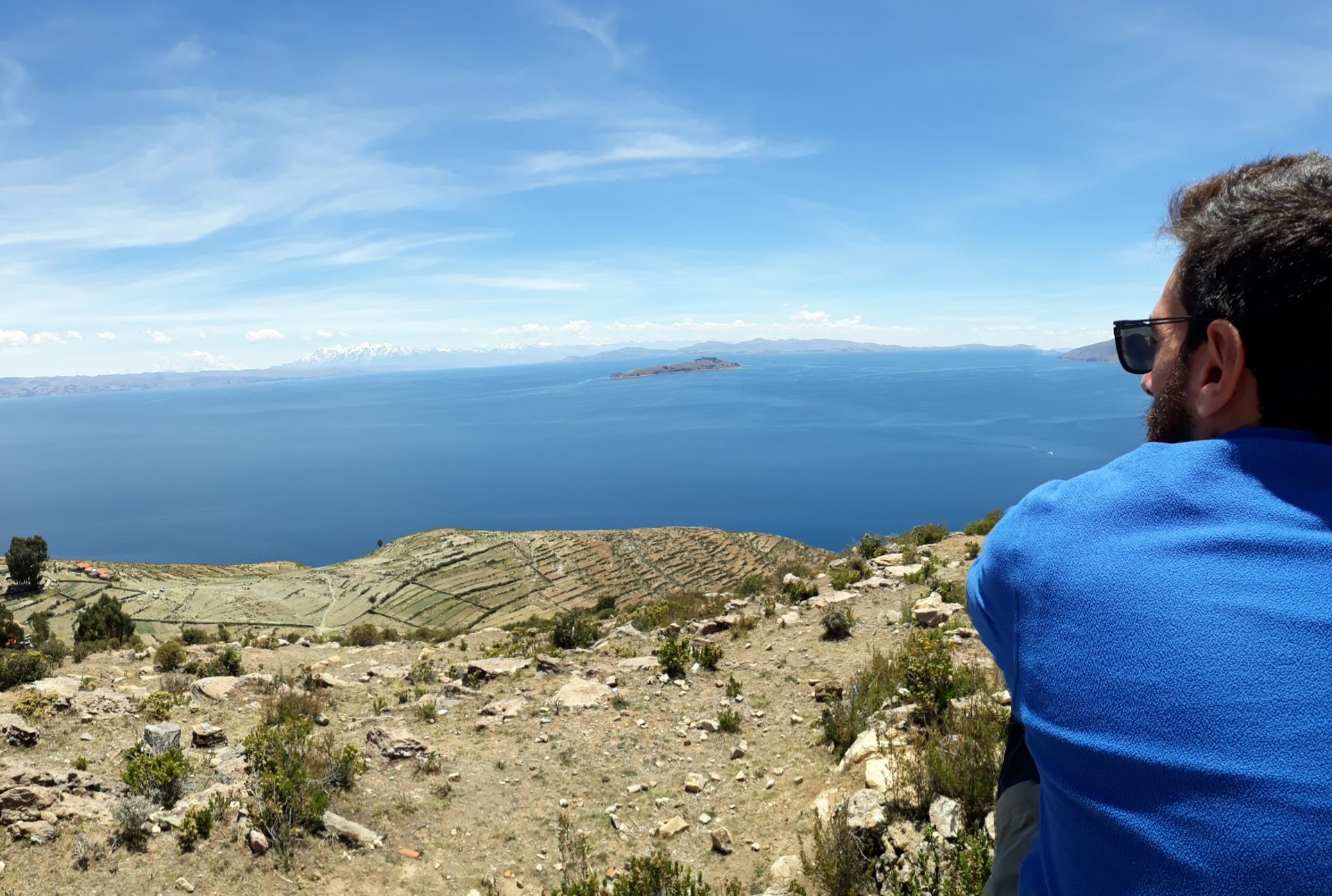
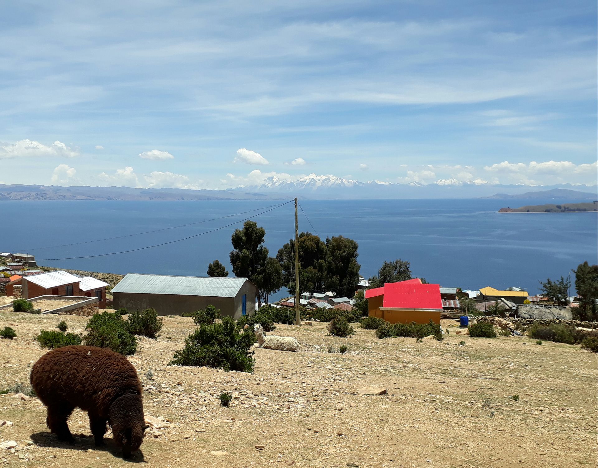
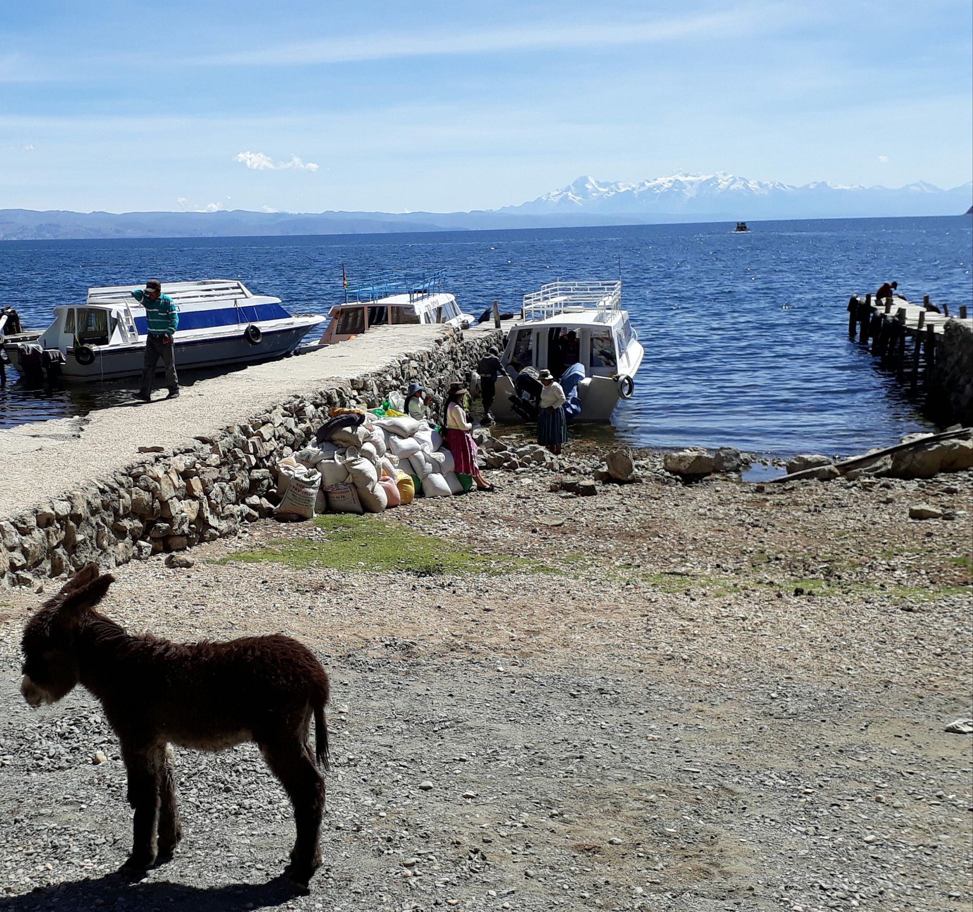
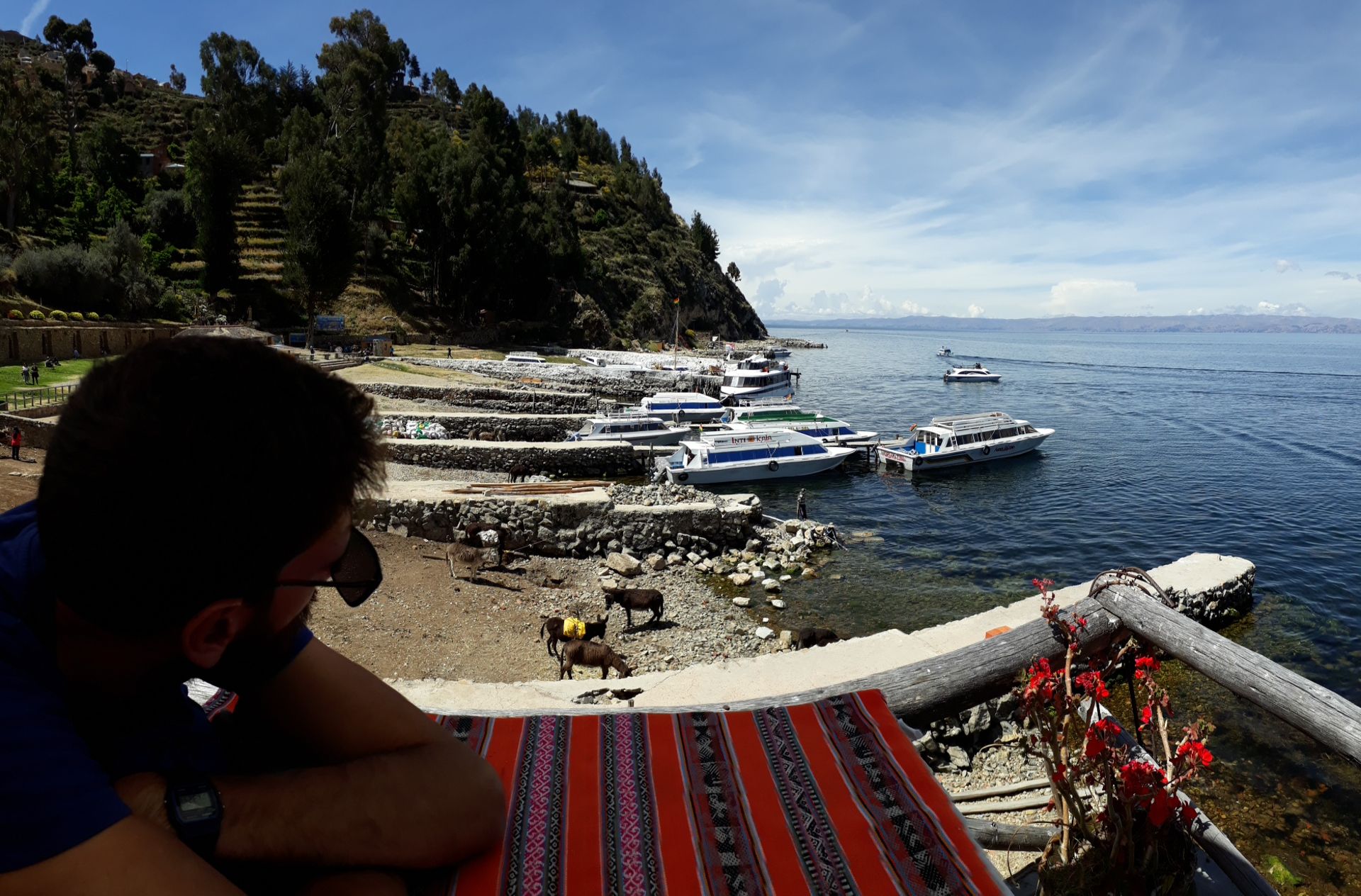
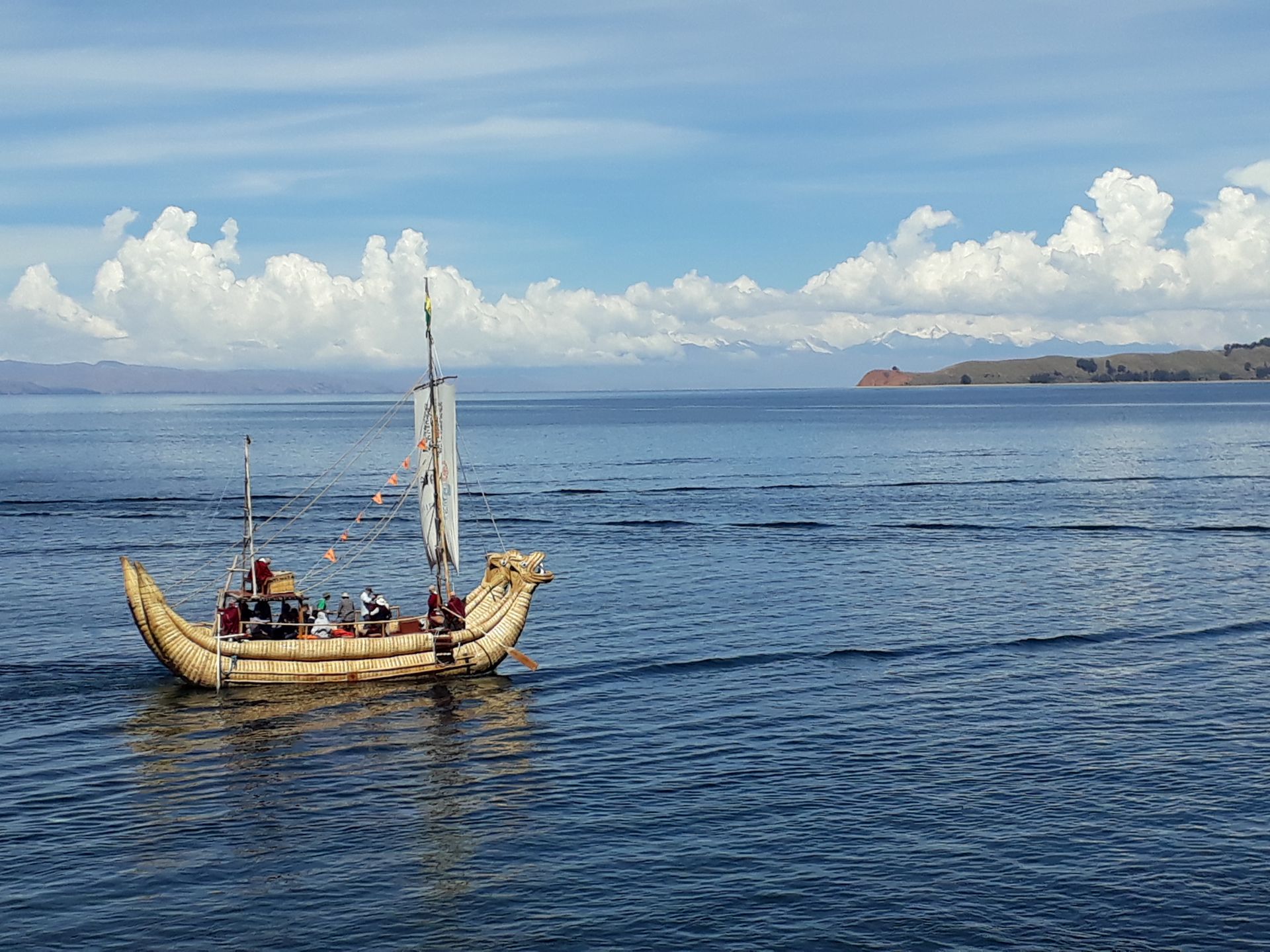
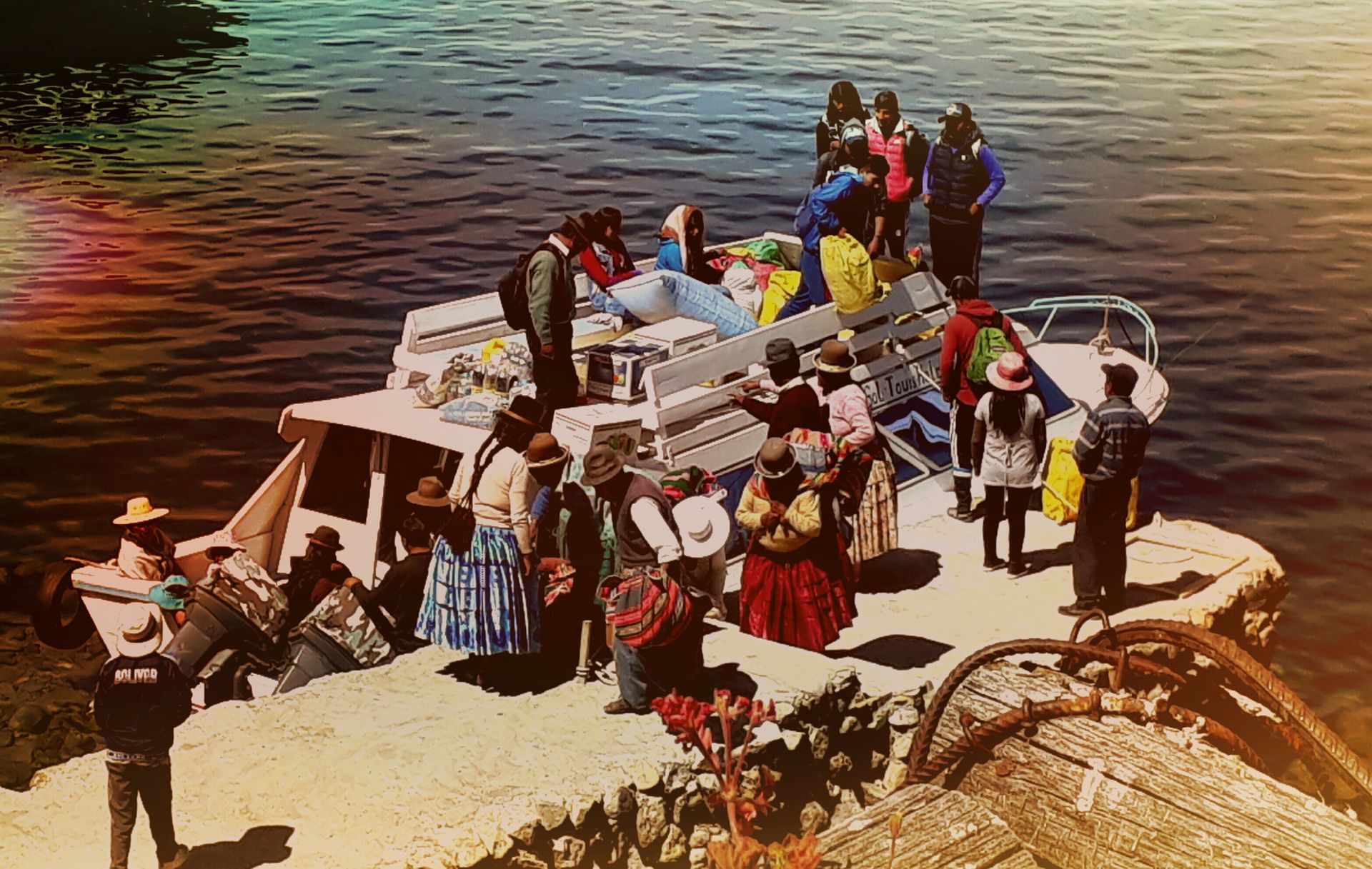
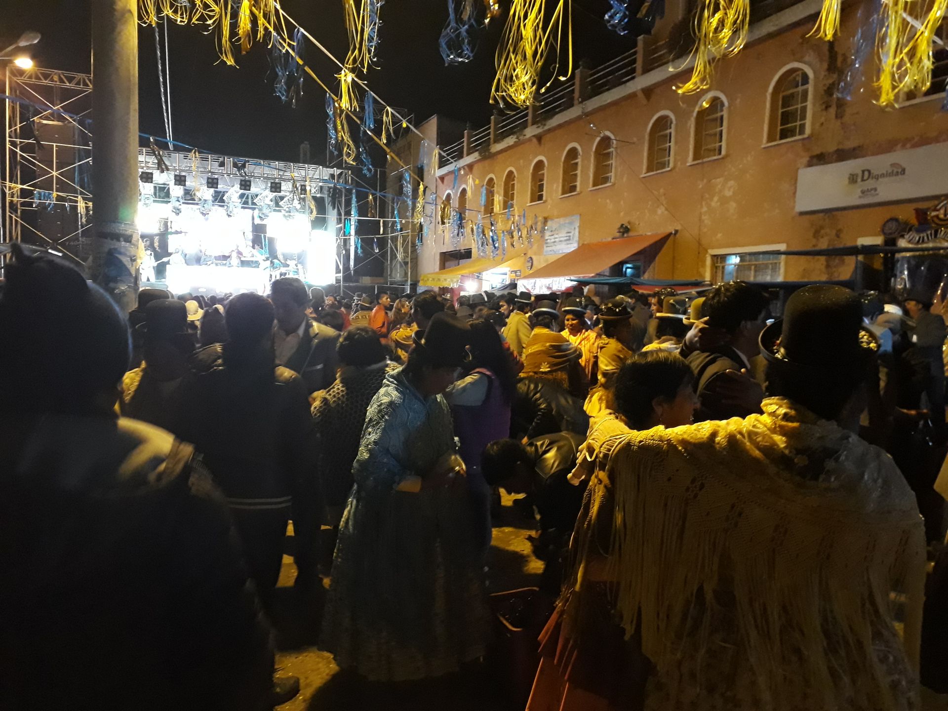
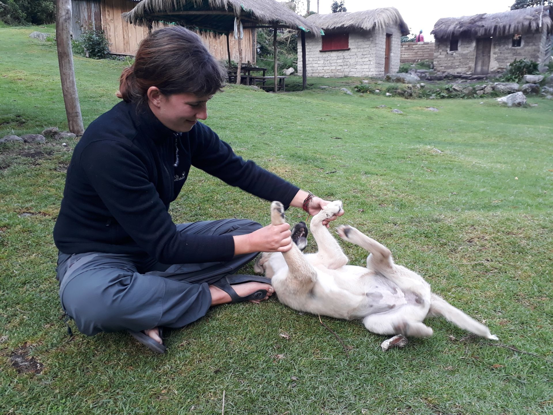
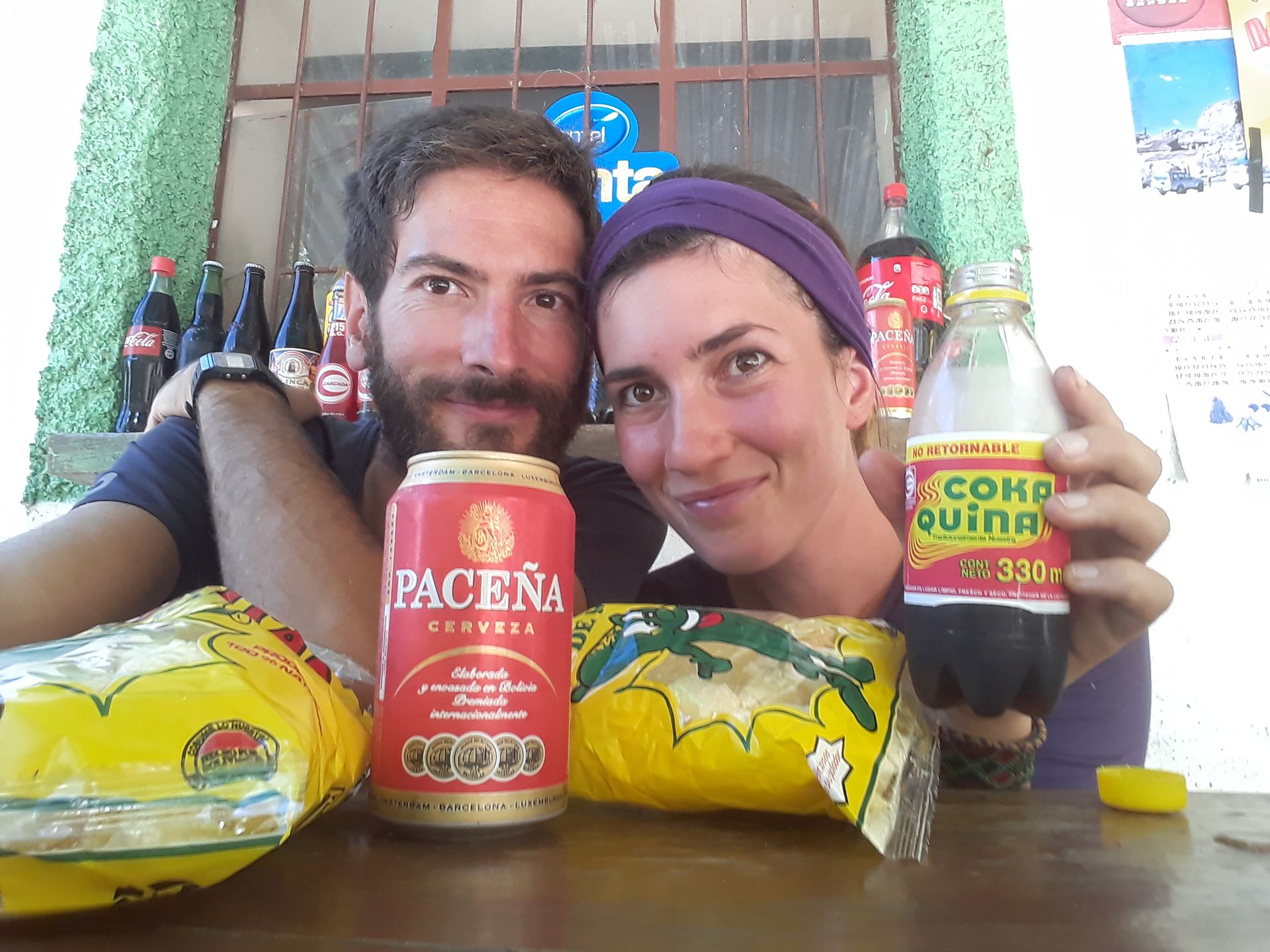
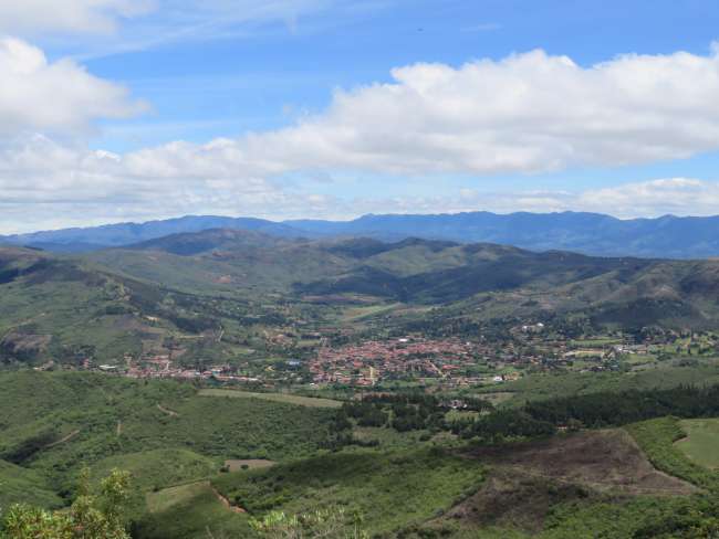
From La Paz, we drive to the village of Copacabana on Lake Titicaca. The bus ride for the short 150 km takes about 3.5 hours and costs €2.50. In Copacabana (which has nothing to do with Copacabana in Brazil, the name comes from the Aymara language and means something like "view of the lake"), there is a fiesta every evening with Andean live music, and the villagers give it their all - dressed up and looking fancy, liters of beer flow, there is a lot of dancing, and by 8 pm some people can no longer stand 😂 There was more chicha (fermented corn drink) consumed in Combuyo, but here people prefer beer, and we get the impression that Pachamama (Mother Earth) also likes beer because the last sip from the glass is always given to her as an offering with a swing 😁 By the way, almost everyone speaks Aymara here in Copacabana. This ethnic group is considered indigenous in this region, whose territories were later conquered by the Incas (who spoke Quechua). Many older people only speak a very simple or broken Spanish, similar to the Quechua speakers in Combuyo. Besides partying, you can also go hiking here. We hike, among others, to the hill Calvario, which is of religious significance and is used as an important location for processions during Easter. Many Bolivians light a candle up there so that their wishes come true. However, we are more interested in the beautiful view from the top over the village and the lake, and we are not disappointed 😉 Two dogs accompany us from the village to the summit, making our excursion even more enjoyable, and we share our picnic with them up there. On another day, we take a boat to Isla del Sol, the Sun Island, and walk around a bit...the thin air and the many ascents make us tired, so we settle down on a restaurant terrace at the end and enjoy the beautiful surroundings while sitting 😊
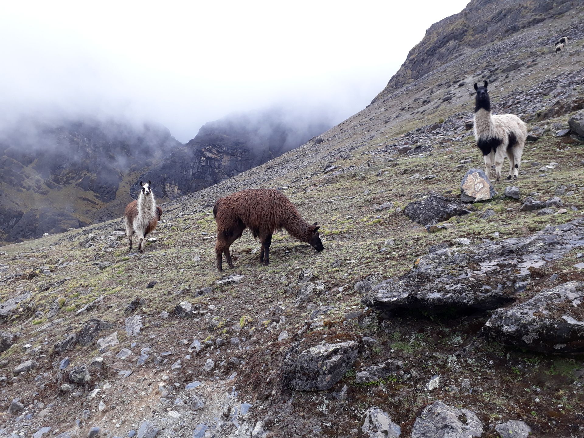
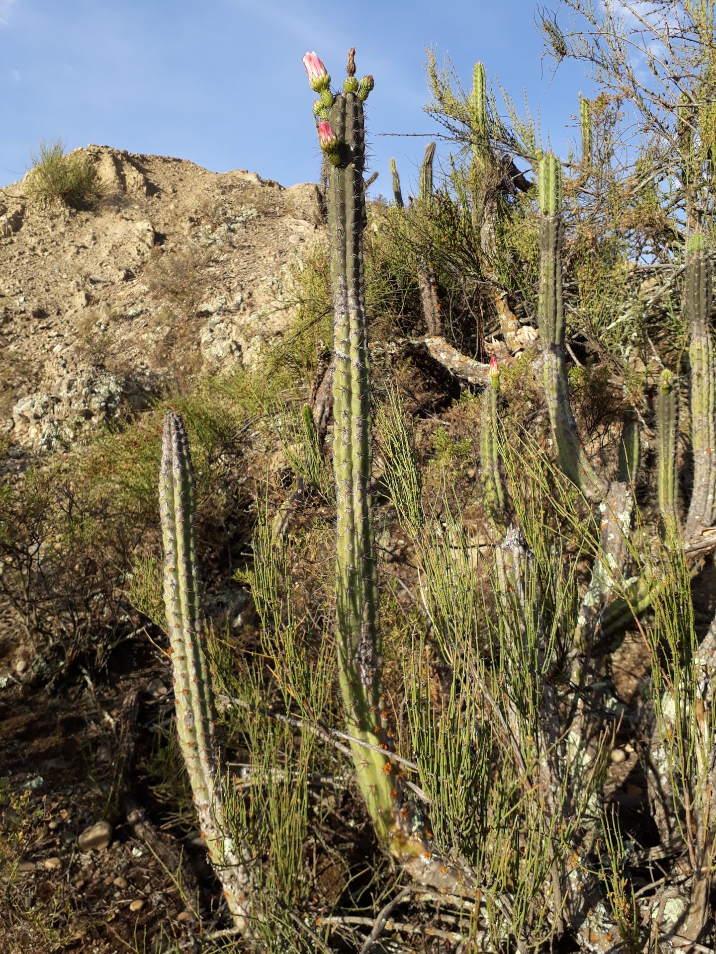
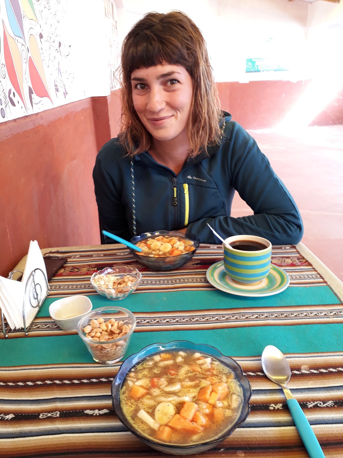
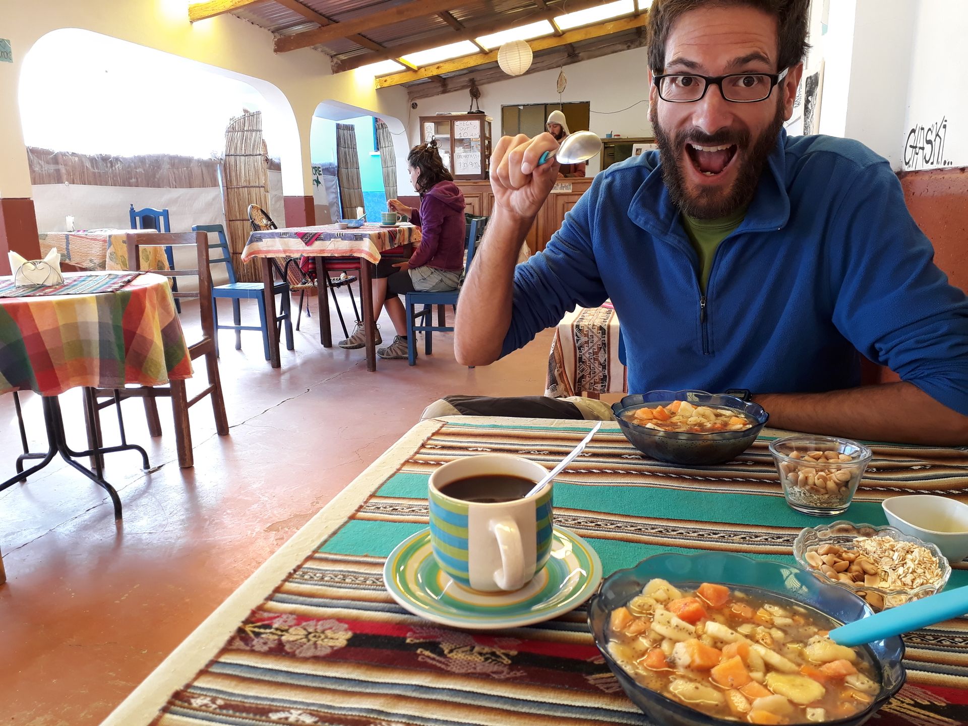
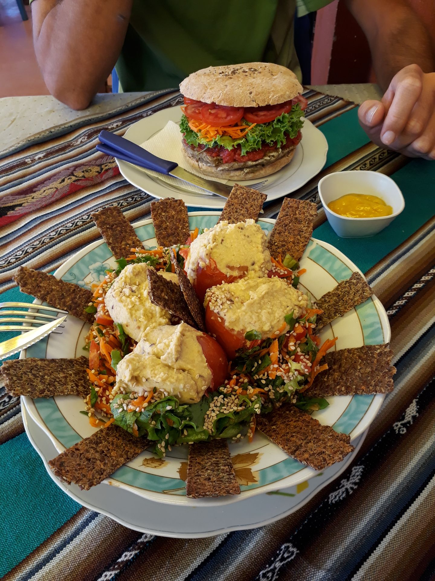
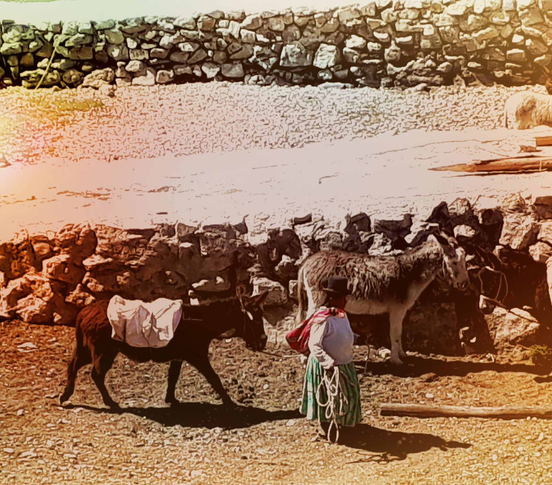
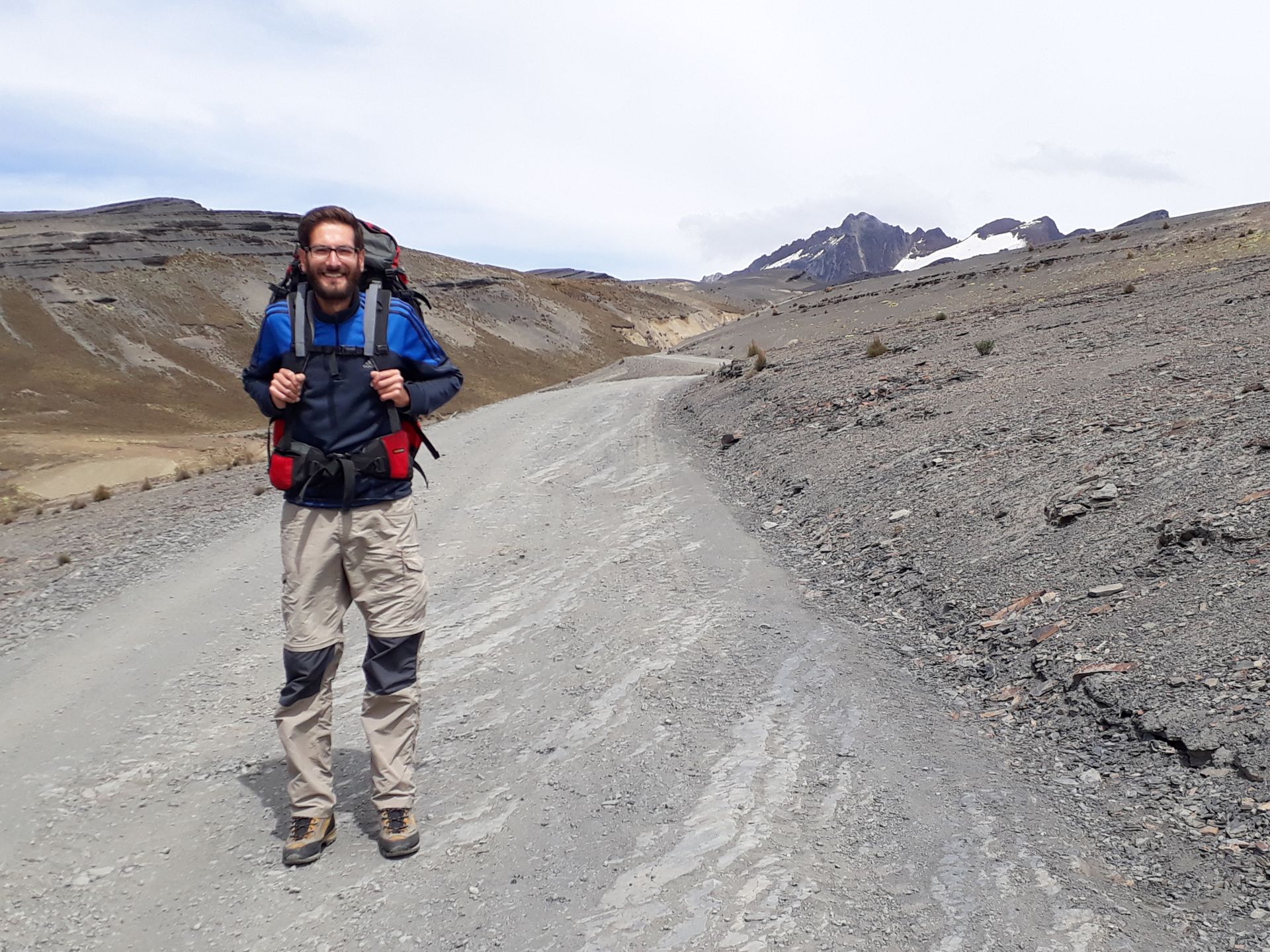
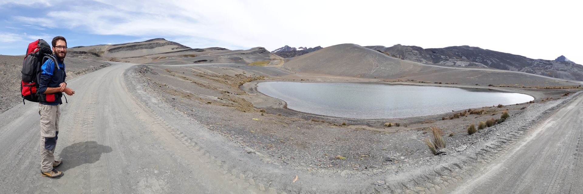
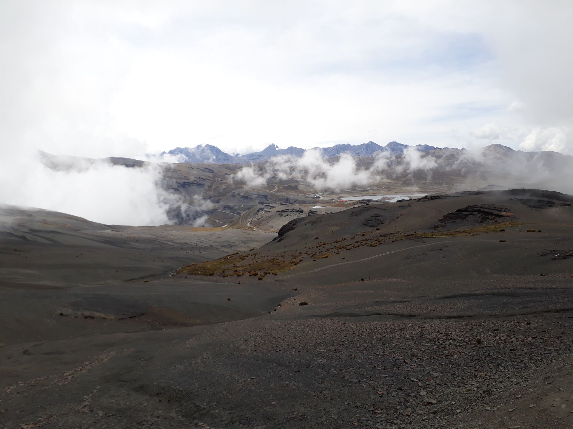
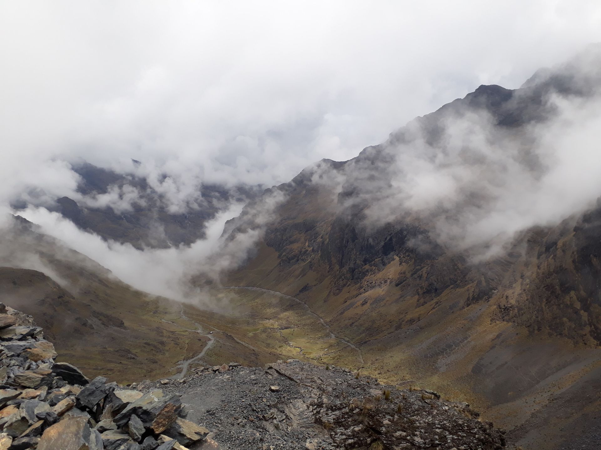
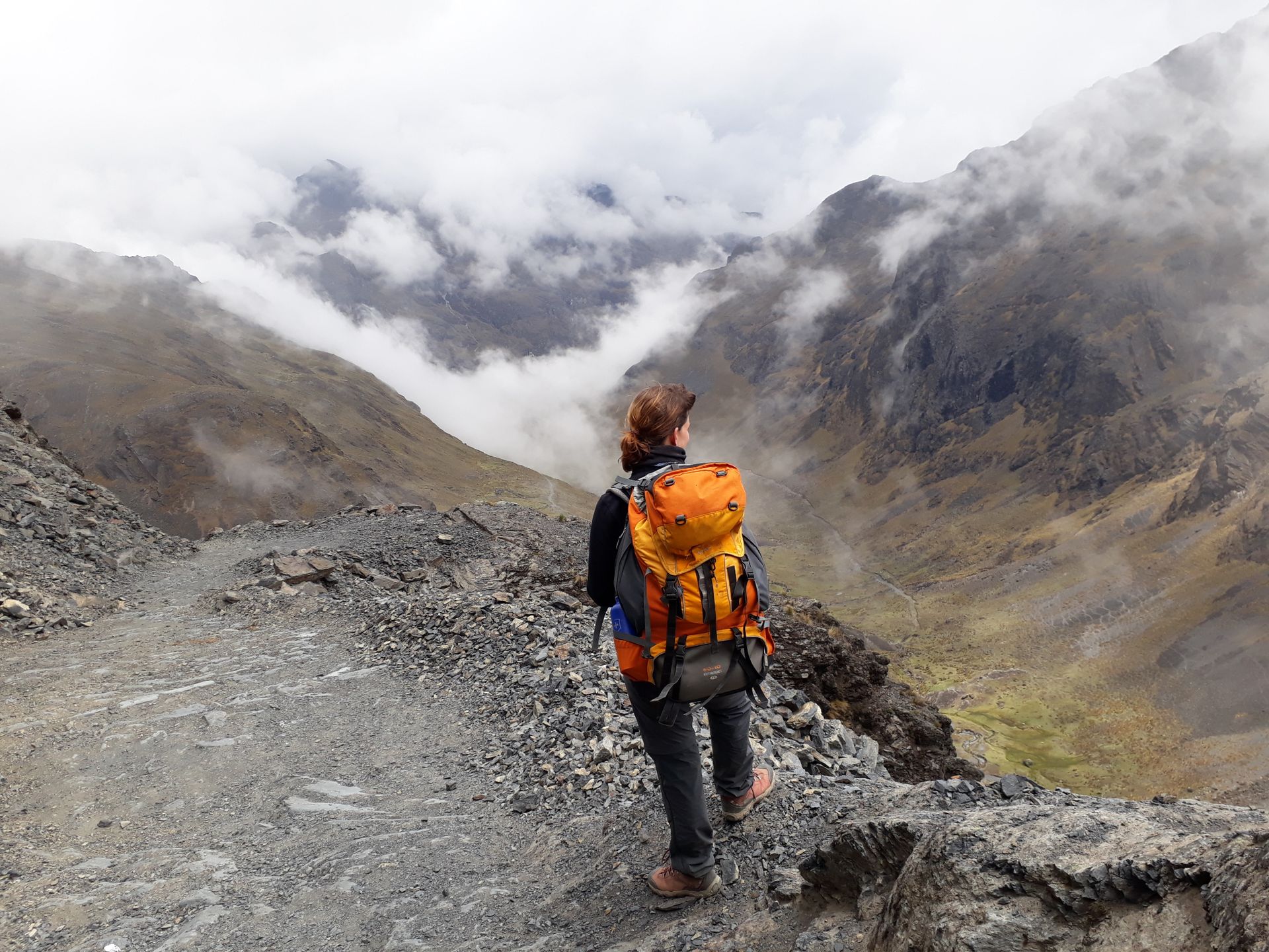
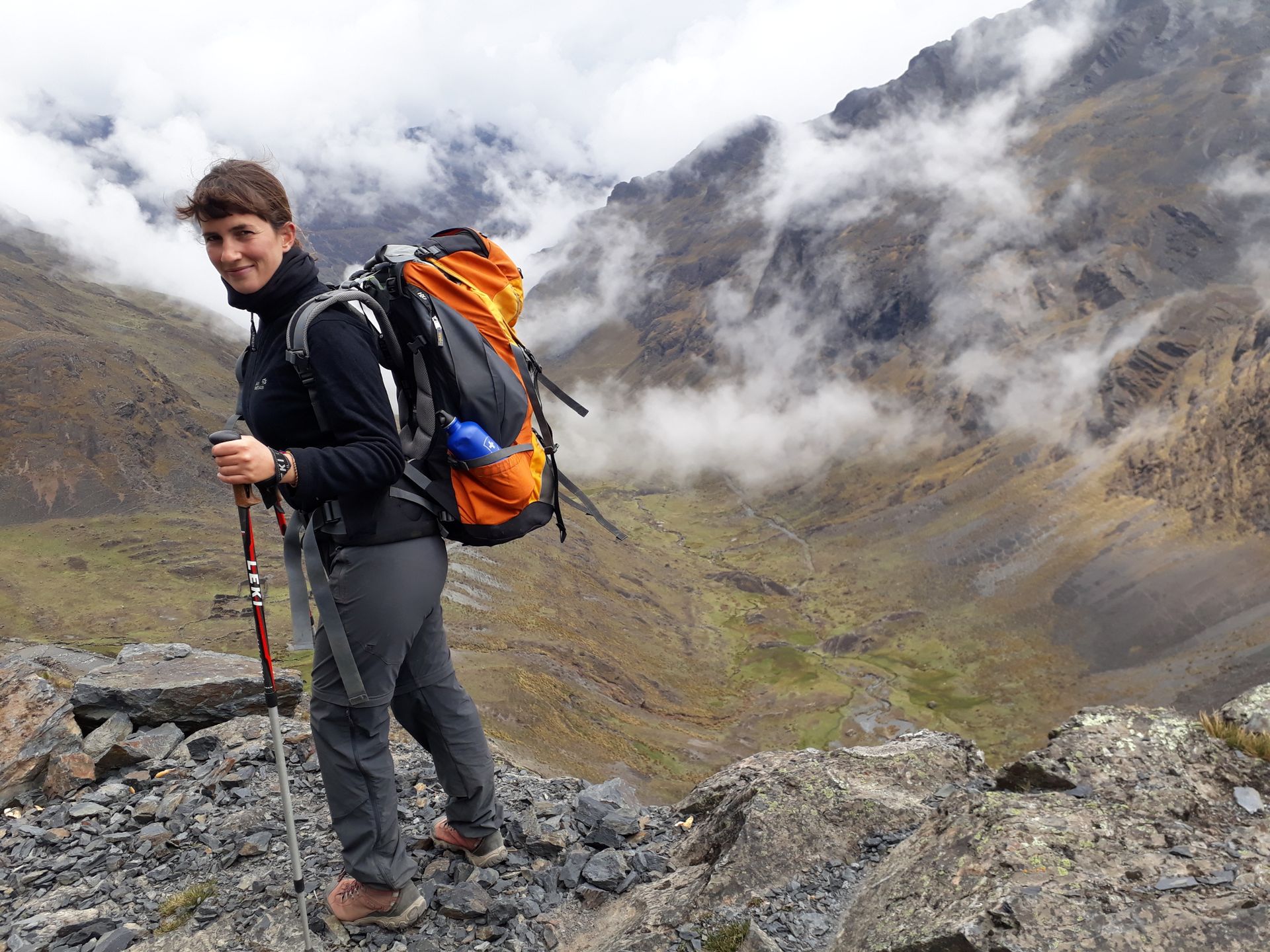
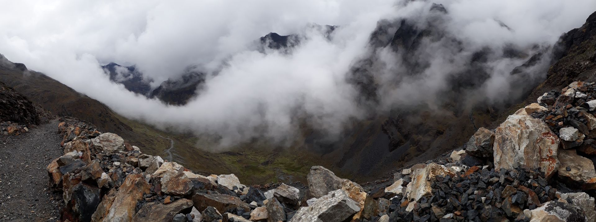
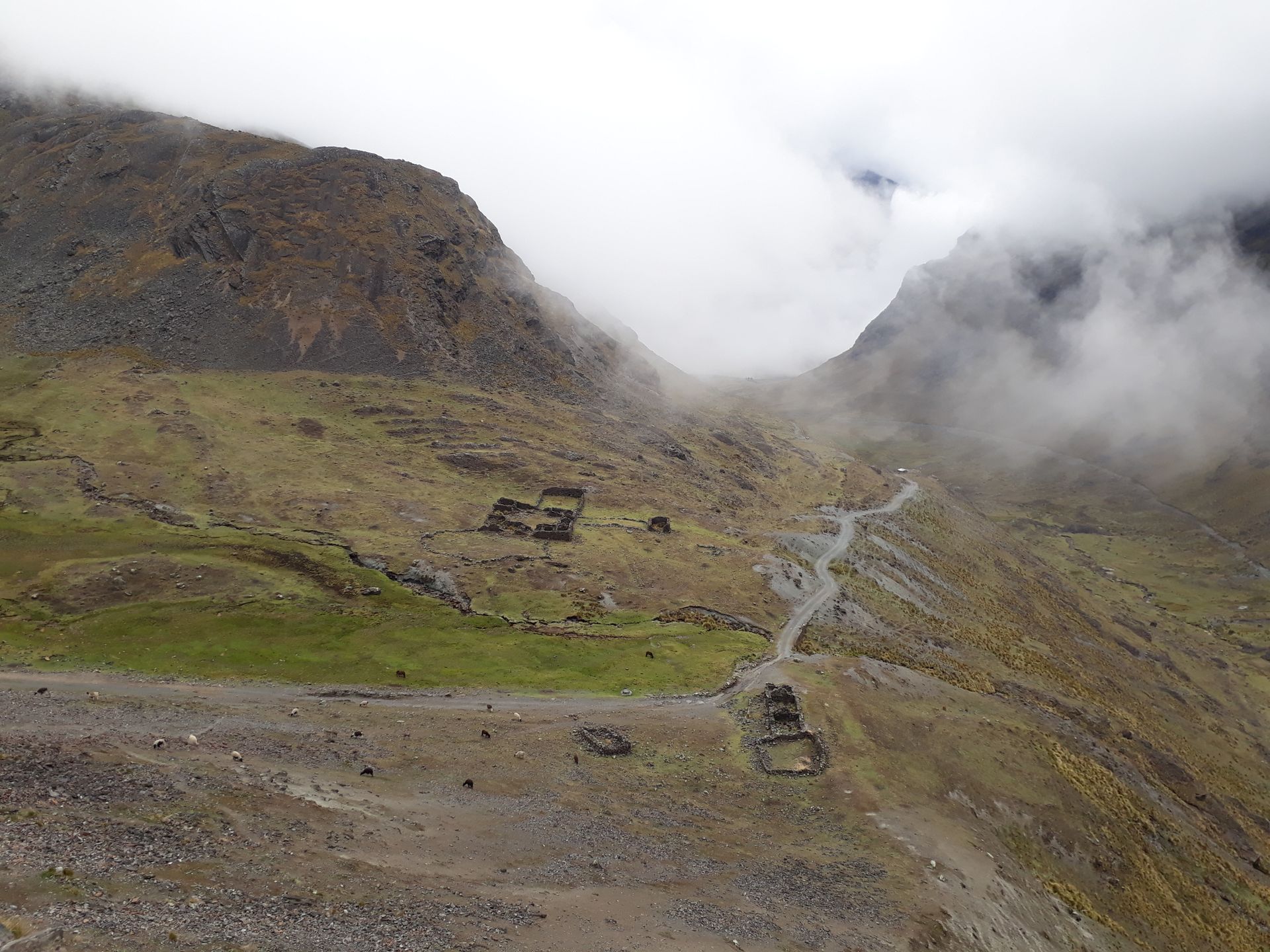
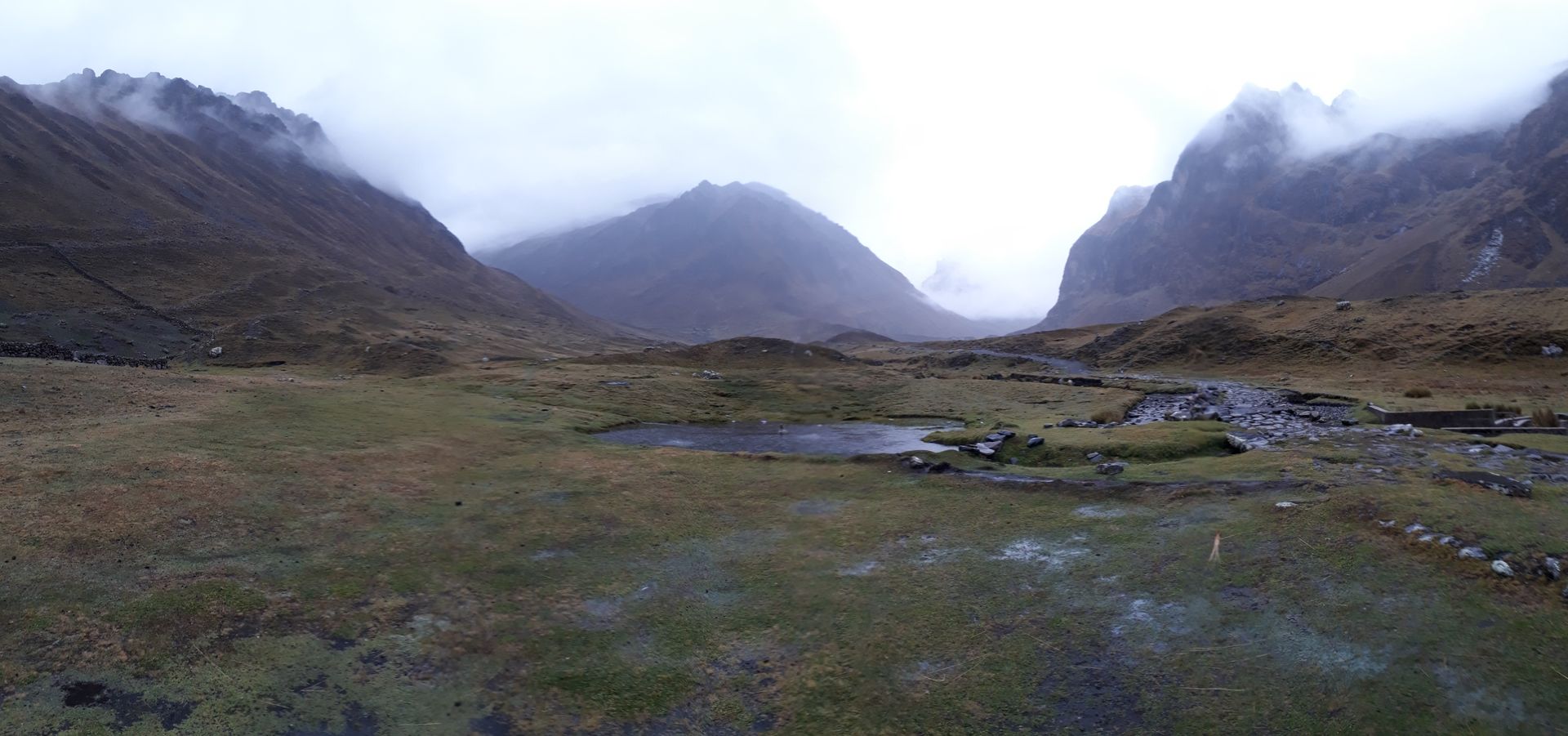
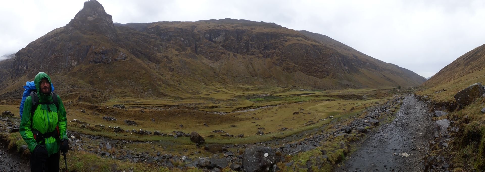
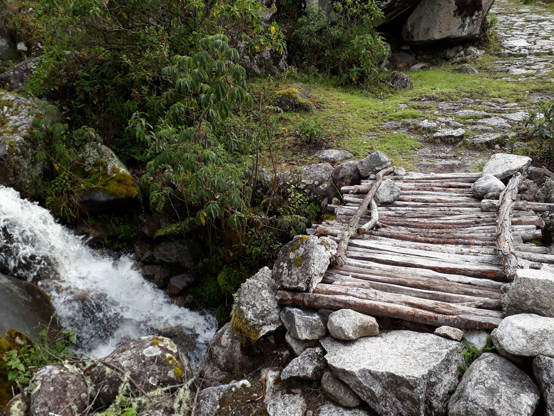
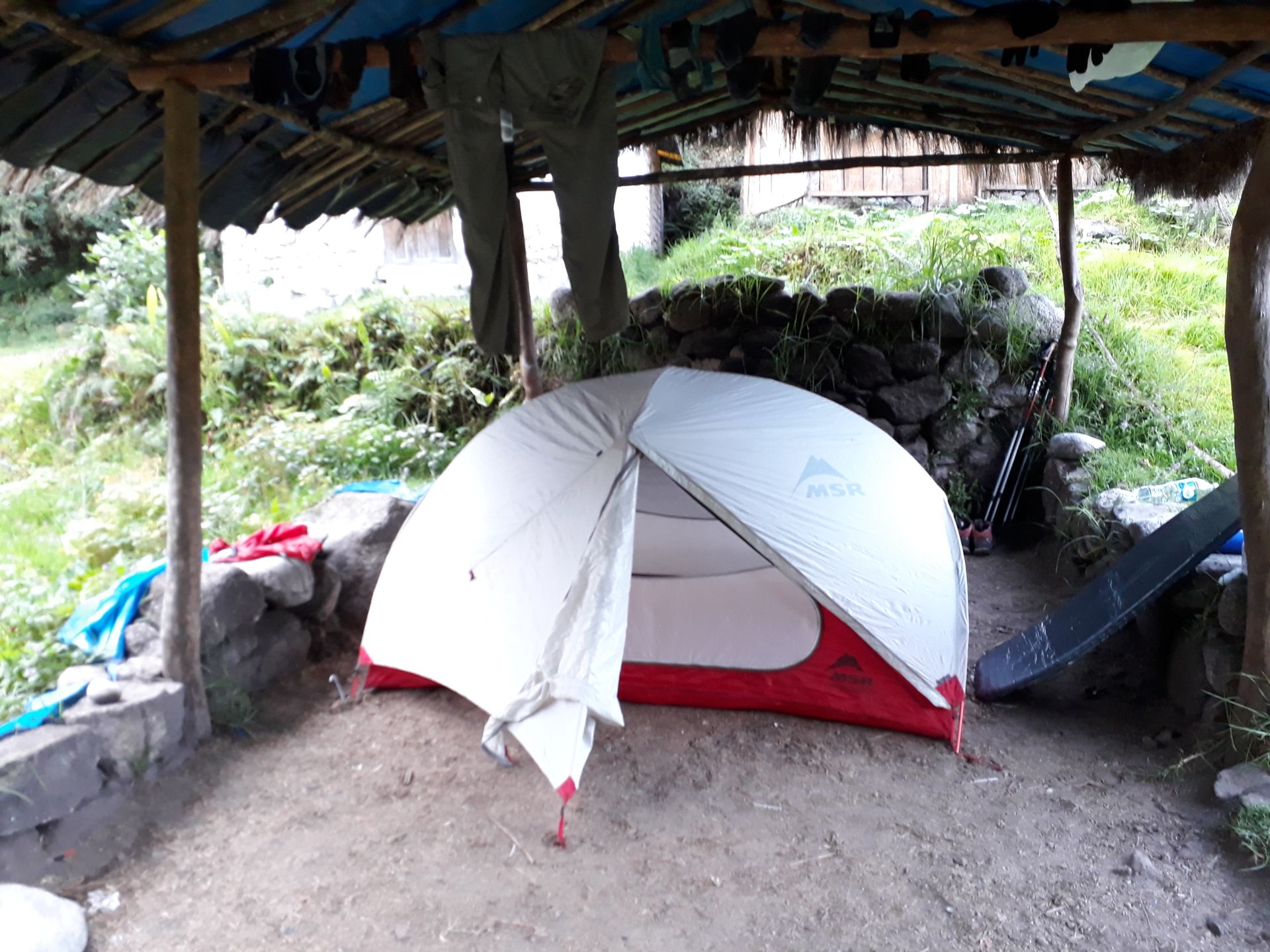
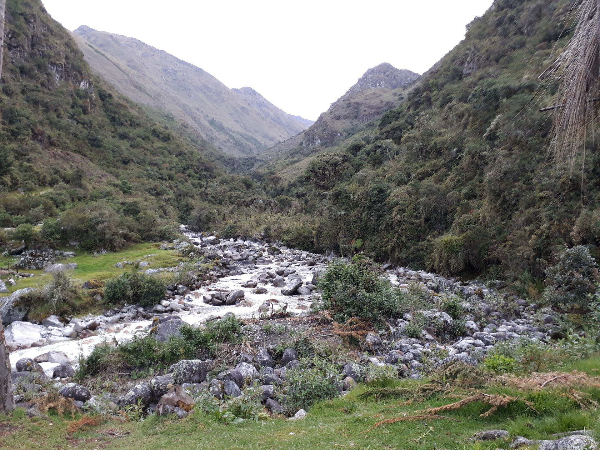
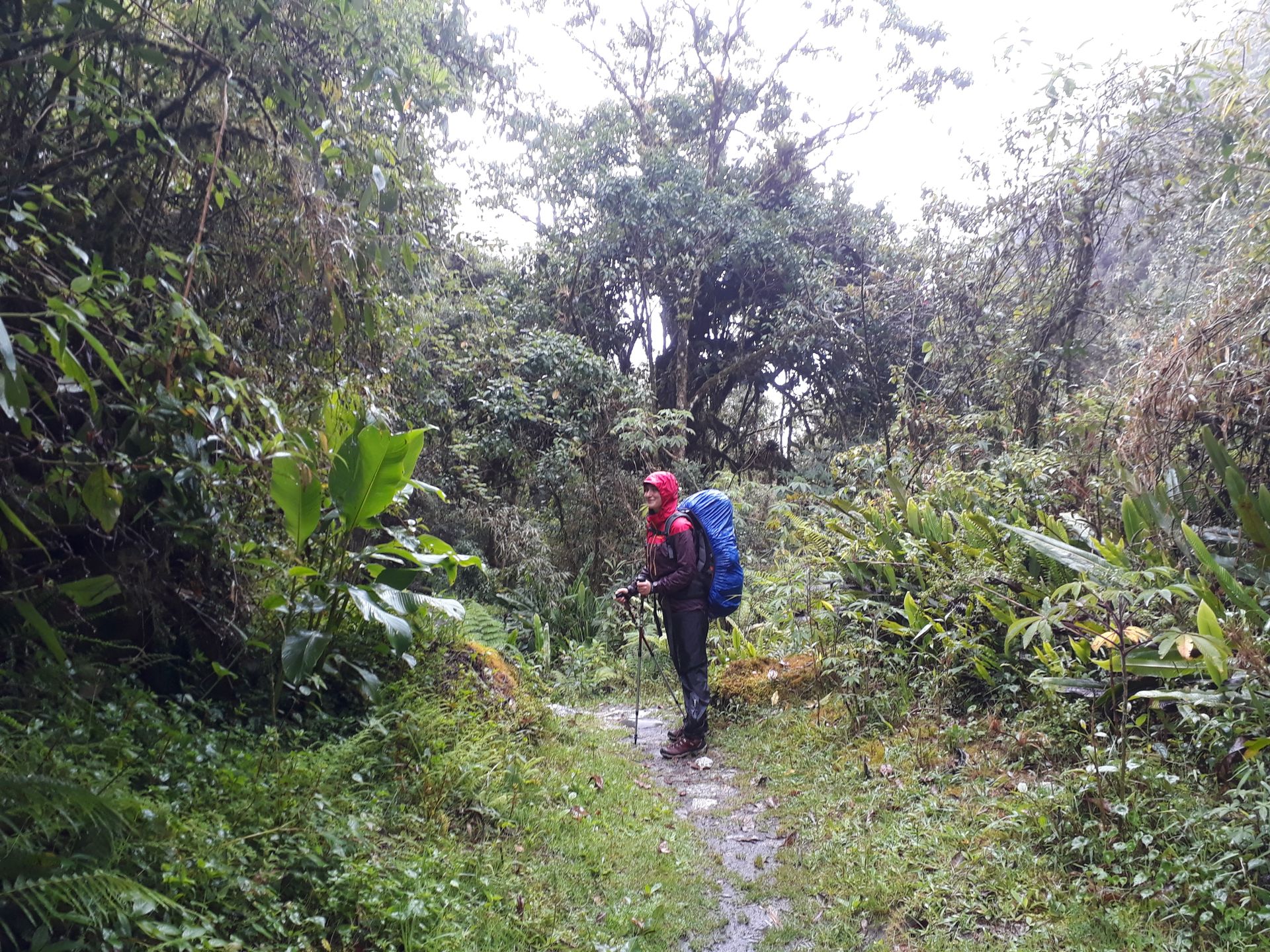
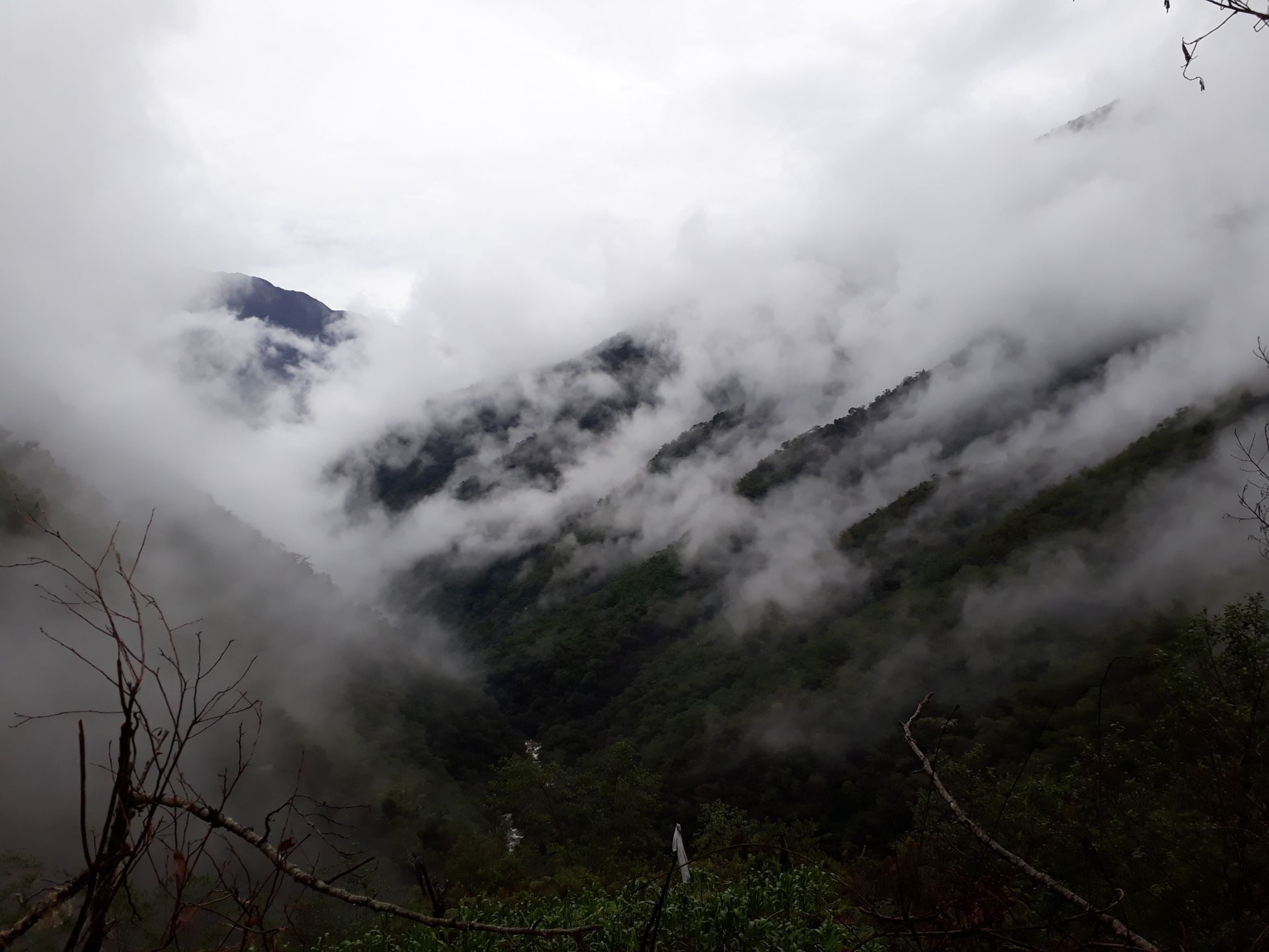
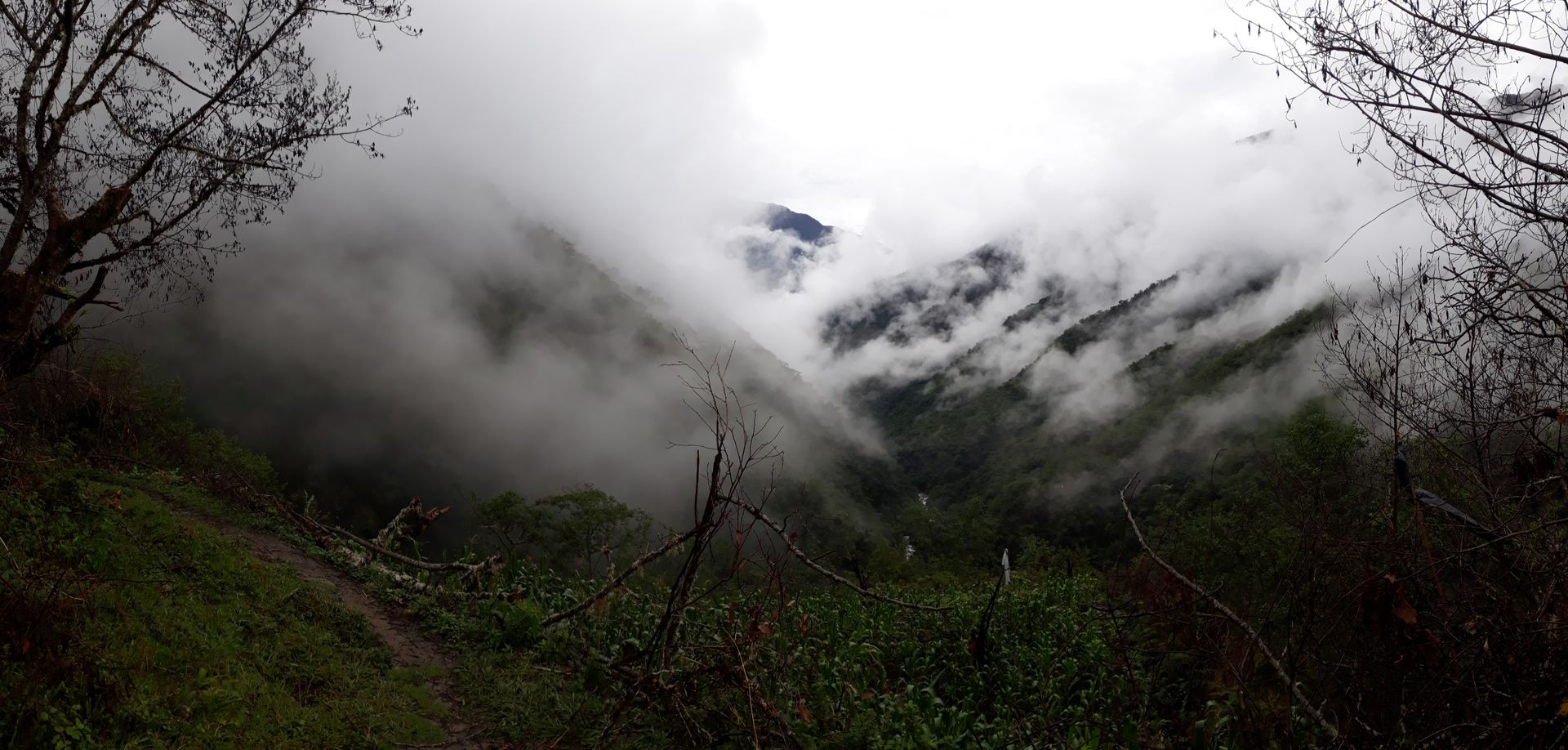
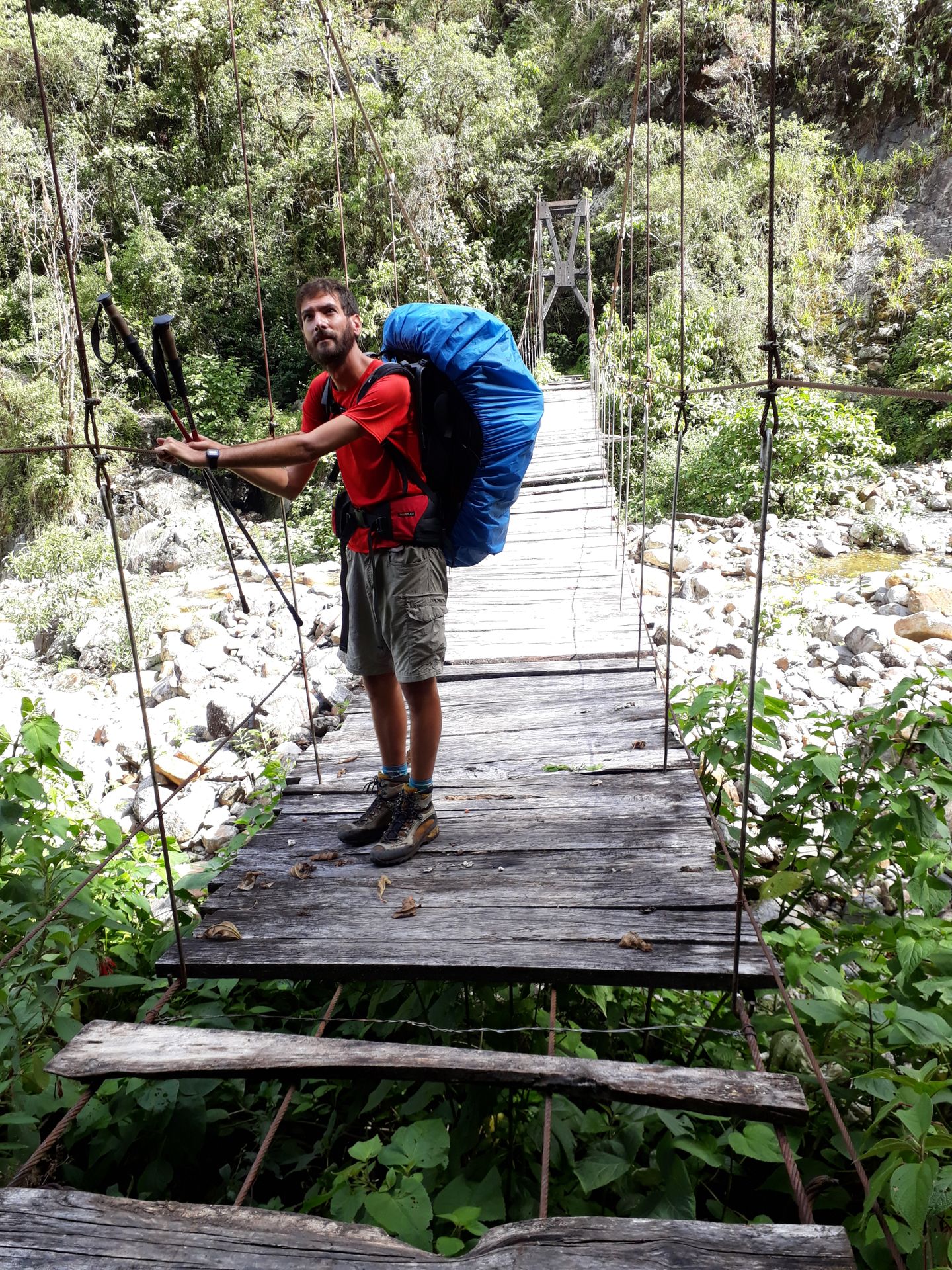
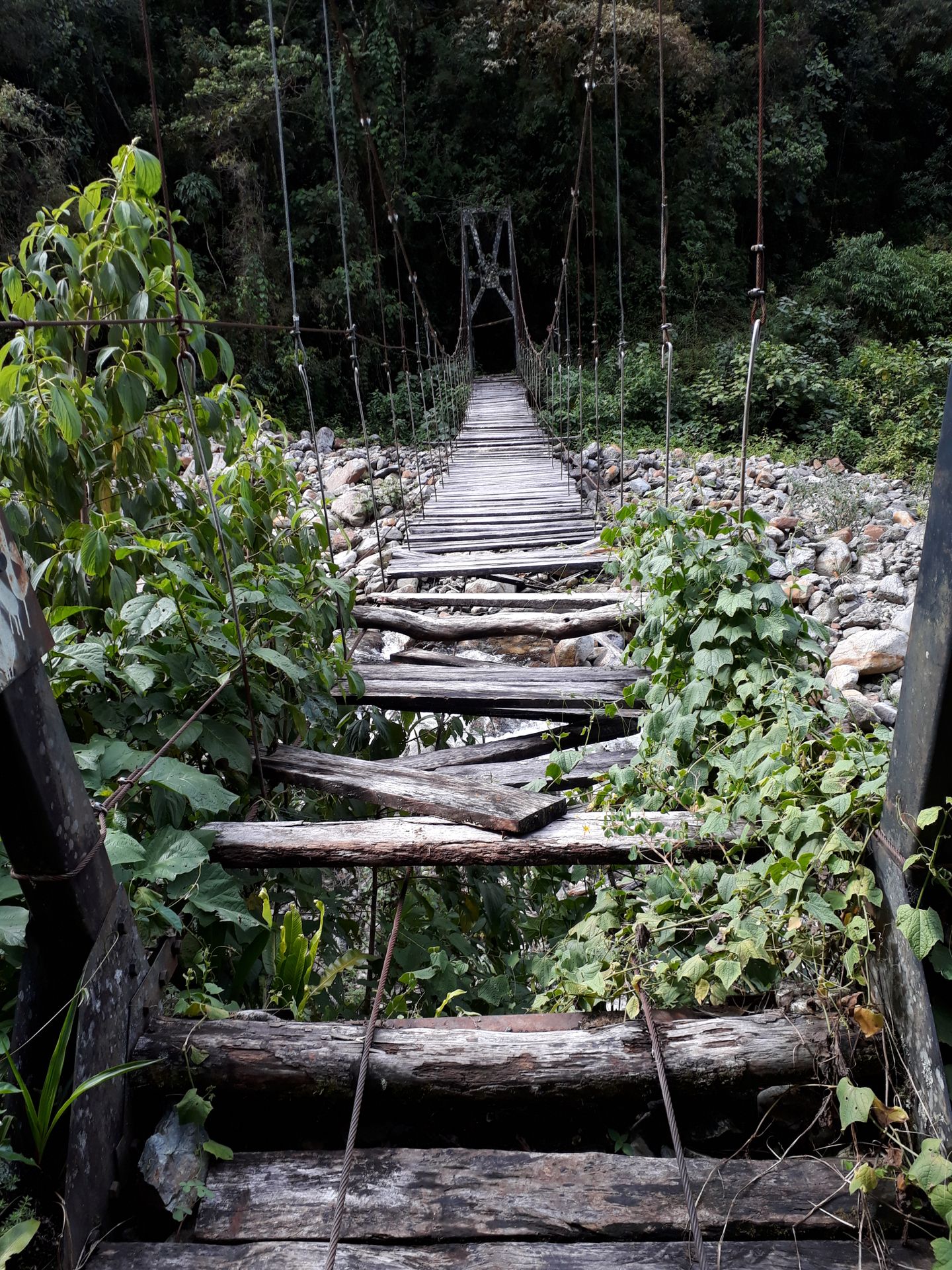
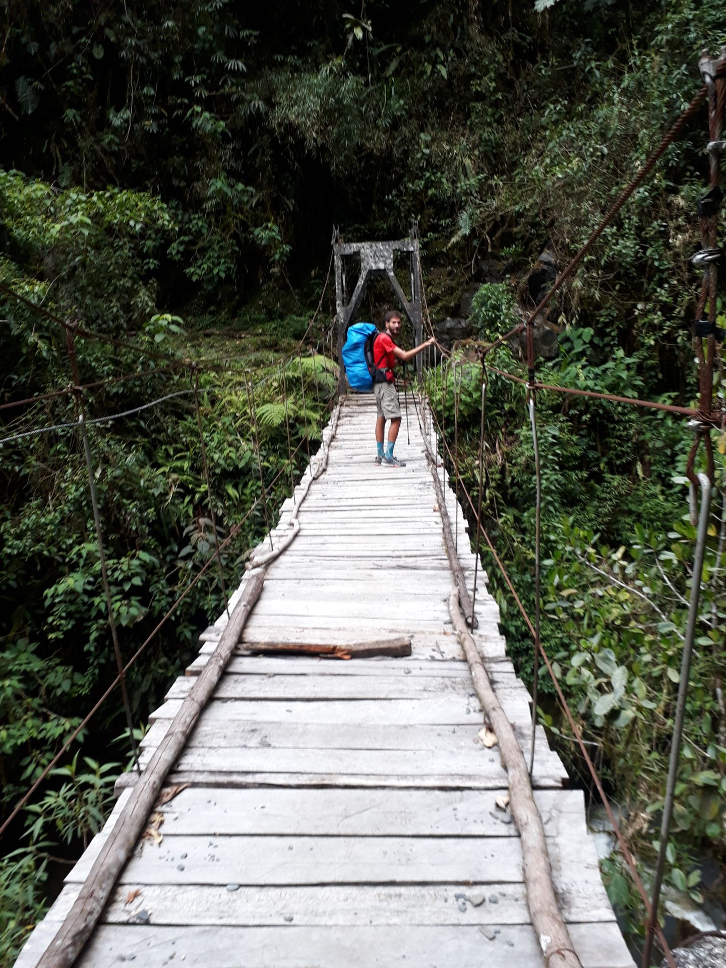
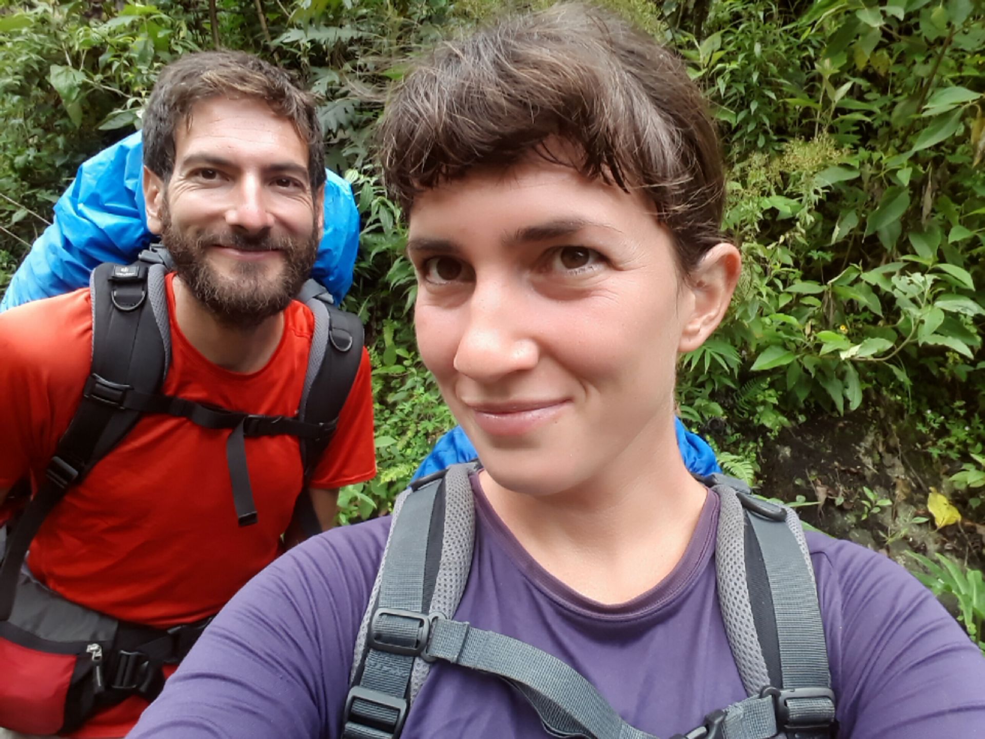
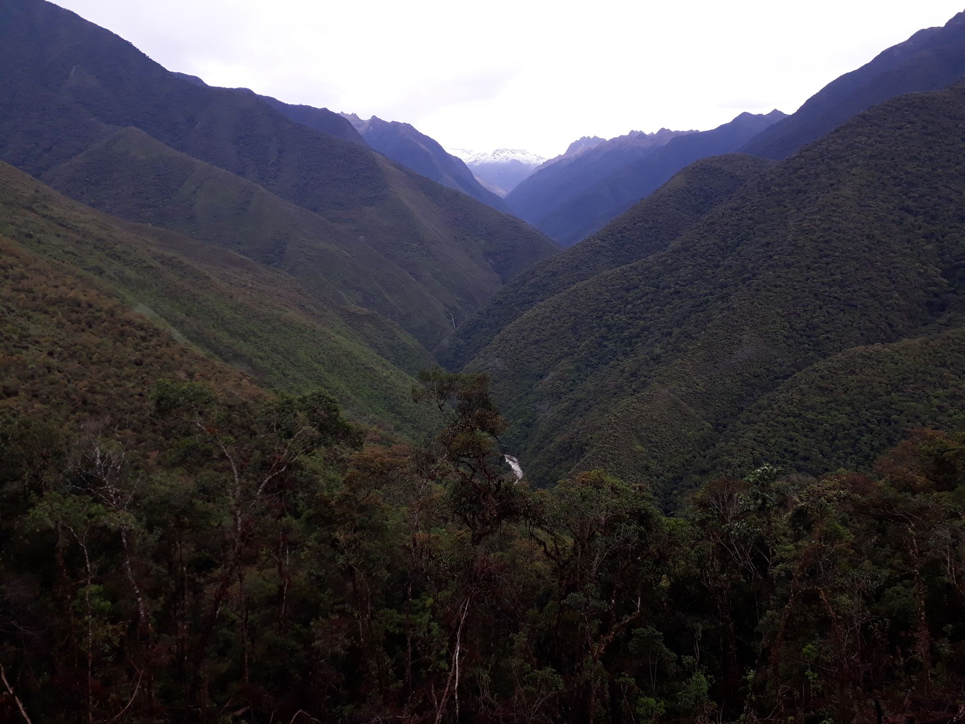
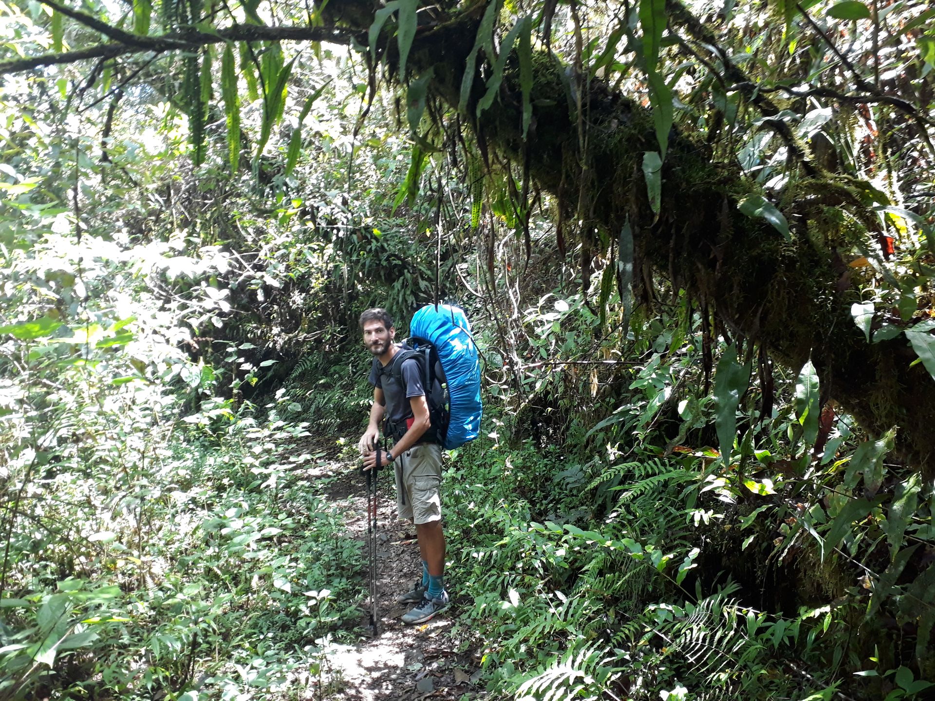
Back in La Paz, we prepare for our 3-day hike on the Choro Trek. We buy gas cartridges and lightweight food, and the next day we take a trufi to La Cumbre, the starting point of the hike, which is only a good half hour away from La Paz. The Choro Trek is an old Inca trail that connects the highlands with the Yungas, leading from the Andes to the tropical jungle. The 51 km long trail was used in the past to transport fruits and vegetables from the tropics to La Paz. Due to the over 3000 meters of altitude that have to be overcome and the already high elevation, most people hike the trail from top to bottom, including us 😁 The trufi drops us off at about 4700 meters of altitude, and from there we continue hiking at an altitude of about 4900 meters. On the first day, we have to hike downhill for about 20 km and 2000 meters in altitude until we reach an elevation of 2900 meters, where we spend our first night at a beautiful campsite run by a nice family located right by the river. We are the only ones at the campsite, and on the first day we didn't meet any other hikers, only a few individuals who live in this remote region. We mainly see llamas, sheep, and mules, who seem to be less affected by the cold and wet weather at high altitudes...at the beginning of the hike, we are hit pretty hard by icy winds, sleet, and hail brrr, but fortunately, it's only a short thunderstorm. On the second day, we hike another 20 km up and down and across adventurous bridges, which require a lot from me as a person with a fear of heights 😥 But the fantastic views of the already warmer cloud forests completely compensate for the effort and make us forget about the hardships. Since it rained in the morning, the path becomes a total slippery slope, so we make slow progress, and we don't reach our destination (after 23 km) on the second day. Actually, this wouldn't be a problem if the campsite we choose in front of our actual destination were equipped with water. But it's not...so we don't have drinking water anymore, we use our last water for cooking, and we have to endure the thirst until the next day. On the third day, we set off early without breakfast and without water to find water, and after an hour and a half, we find it 👍 Then you are right in the middle of the tropics, it buzzes, hums, and chirps everywhere, and it is really hot and humid. However, the last stage is much shorter, so we arrive at El Chairo around noon. From the small village, we drive back to La Paz, where, to celebrate the trek, we have a typical dinner, namely un plato paceño, consisting of corn, potatoes, beans, and a piece of cheese. The spicy sauce is a must, and we drink api morado and chicha morada (both made from corn) with it!
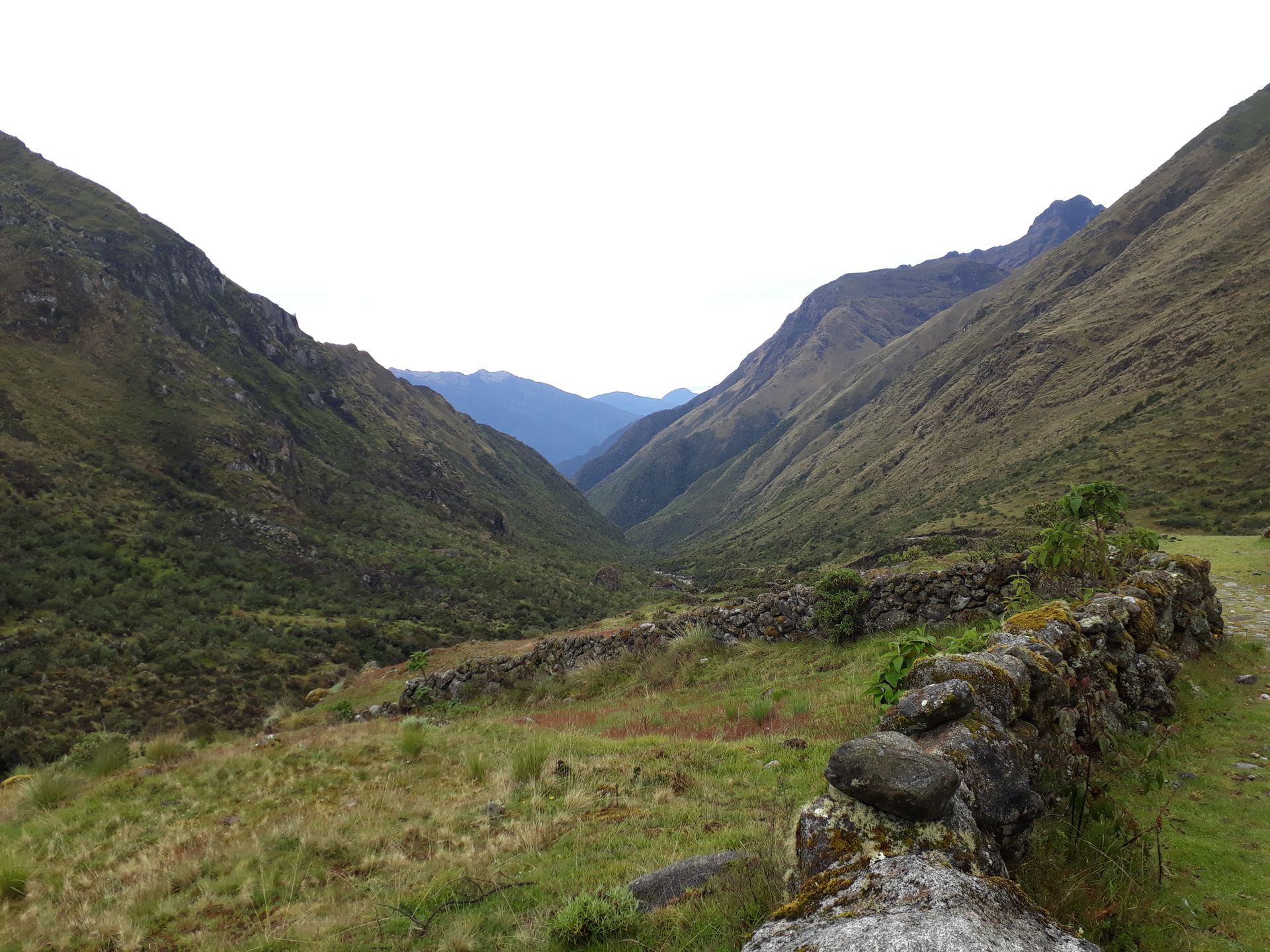
The Choro Trek was physically quite challenging, our feet still hurt, and I can feel muscles that I haven't used in a while...but the efforts were worth it. The trail offers diverse flora and especially visible changes in vegetation, as it leads from the barren and cold Andean landscape into the hot and lush tropical greenery. Highly recommended! Now we continue to the south of the country...slowly but surely towards Chile.
From Cochabamba, we arrive in La Paz, where we will stay at Luis' house, a guy we contacted through the internet platform Couchsurfing. We will spend three nights at his house in the Cota Cota neighborhood, which is a bit far from the city center but very close to a cable car station that reaches El Alto, the sister city next to La Paz. One could say that in the valley is La Paz, and on top of the valley, on a plateau, is El Alto, although it is difficult to know where one starts and the other ends, as there is no distinction in the sea of houses that climb up the valley slopes. Although we arrive at night, we decide to take the cable car up to see the festival of lights in La Paz. The next day, we take a walk through its center and historic quarter, and ride the cable car again to see the surroundings of the city in the daylight. And the latter is the most impressive, the place where the city is located. Several snow-covered mountains can be seen, including Illimani, the second highest peak in Bolivia. On the third day, we visit an area called the moon valley, which is like a park where some curious geological formations have developed, resembling giant ant hills. But not everything is beautiful in La Paz. In addition to having little oxygen due to the altitude, the air quality is very poor due to the traffic. There is total chaos with traffic jams, despite the fact that there are hardly any private cars and people move around in the typical Bolivian public transport: the trufi, which are nothing more than vans for about 10 passengers. In La Paz, there is also a strong Aymara presence, and it is very common to hear it on the street.
After these three days in the capital city, we head to Lake Titicaca to spend a few days in the town of Copacabana, which shares a name with the famous Brazilian beach but has little in common with it. On the first day, we hike up to Cerro del Calvario accompanied by two dogs we encounter along the way and decide to follow us. From there, there are spectacular views of the lake. At the top of the hill, apart from a via crucis, there are altars where people put candles and miniatures to make wishes, I don't know if to Jesus or to Pachamama. But here's how it goes: at the summit, they sell miniatures of all kinds, and if, for example, you want a new house, you buy the miniature of the house and put it on one of the altars with a candle.
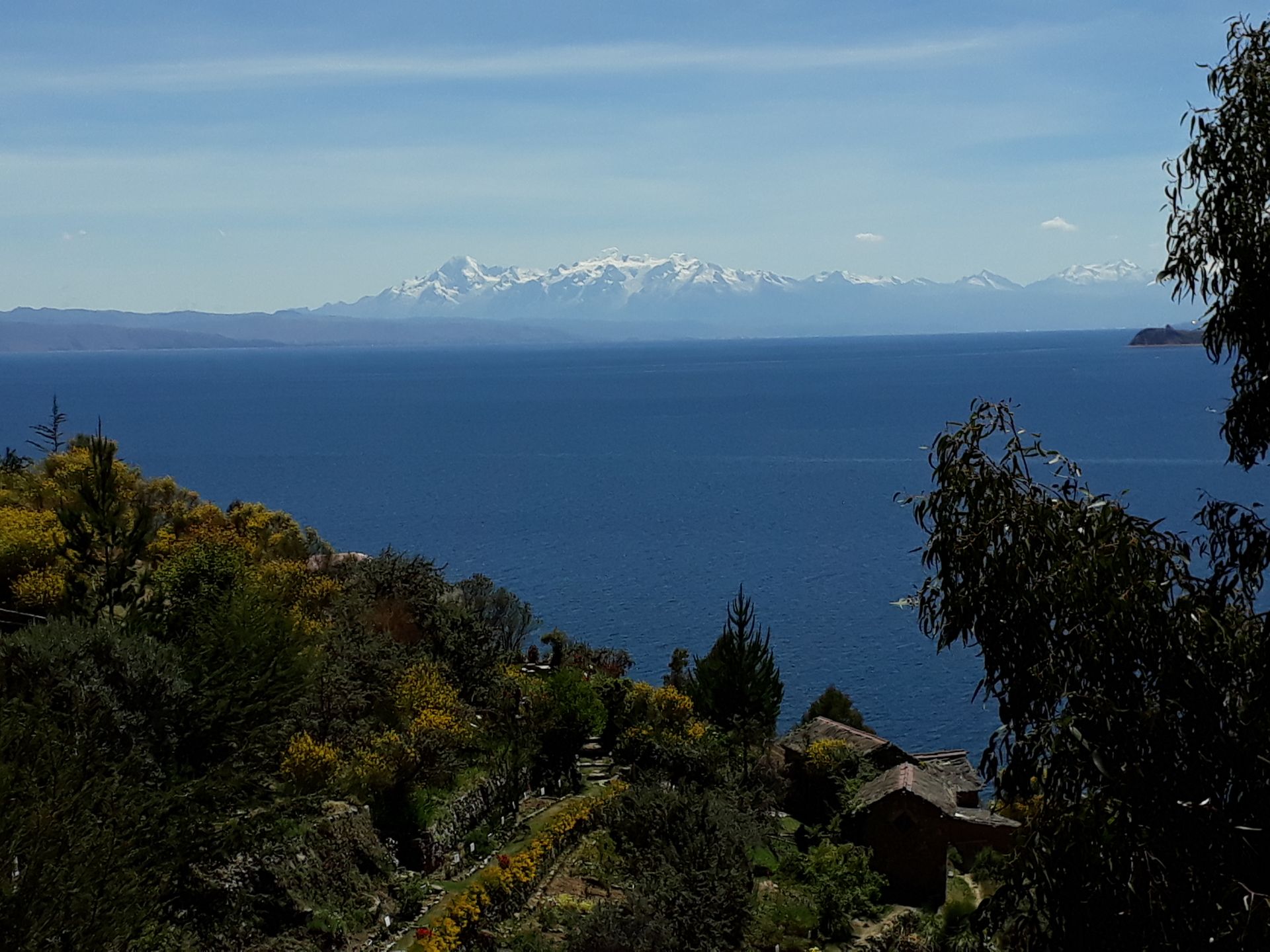
The next day, we take a boat to Isla del Sol, where we go for a little hike. There is the Yumani community, and they practically live off tourism, with hostels and restaurants everywhere. The really worthwhile thing on the island are the views that show both the lake and a snow-covered mountain in the background.
Back in La Paz, we prepare for the El Choro hiking route for the next three days. There are two ways to do the route: starting at La Cumbre at about 4700 meters of altitude and ending in Choiro at about 1500 meters, or doing it the other way around. Obviously, we decided to do the downhill version since we know our limits. The route is actually an Inca road that connected the Yungas with La Paz to bring fruits and vegetables that obviously do not grow at that altitude to the city. It was also used as a communication network for the chaskis, the runners who formed the ancient postal service of the Incas. The road is in good condition in the mountains, but as it enters the jungle, it gradually disappears.
The first day is about descending from the summit about 2000 meters in 20 km. Along the way, you can see llamas and also pass by a couple of little villages, which is surprising to see in such a remote place. The first campsite is a beautiful place by the river where we spend the night alone. And that is one of the charms of this route, we hardly come across other tourists. The second day is another 20 km through pure jungle, where our legs and feet start to feel tired. Furthermore, to make matters worse, there is no one at the campsite we arrive at, and it is impossible for us to buy water. There isn't even a spring from which we can get water and boil it. So we use our limited water supplies for cooking and endure thirst until the next day when we reach the next campsite about two hours away. The last day is the easiest of all, and we arrive relatively quickly at El Chairo, from where we take transportation to a town near Coroico to return to La Paz from there. The Choro experience was physically very demanding but it was worth it. We enjoyed spectacular landscapes, both mountainous and jungle. Walking along an ancient Inca road is quite a cool feeling. And it is also possible to see some spectacular bird species.
And now we say goodbye to our beloved La Paz and head towards Potosí. It has been one of the few cities that will really stay in my memory during this trip.
Berlangganan Newsletter
Menjawab
Laporan perjalanan Bolivia