Cape Reinga
प्रकाशित: 05.12.2018
समाचार पत्रिका के लिए सदस्यता लें
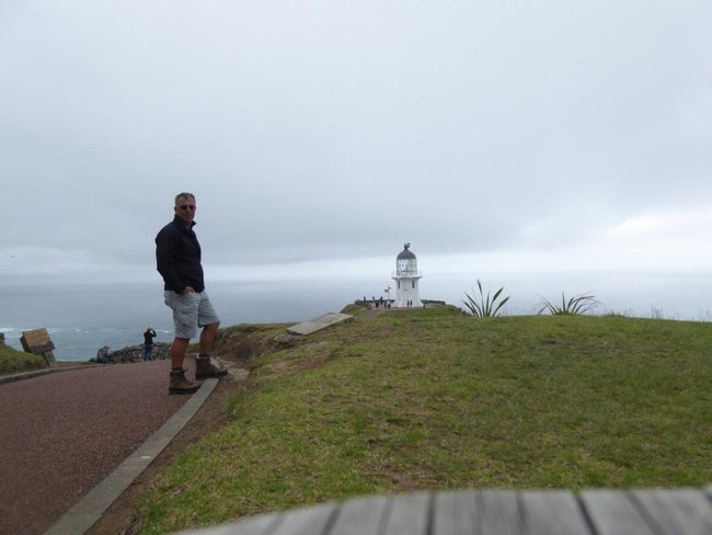
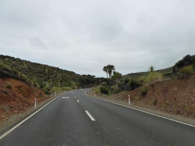
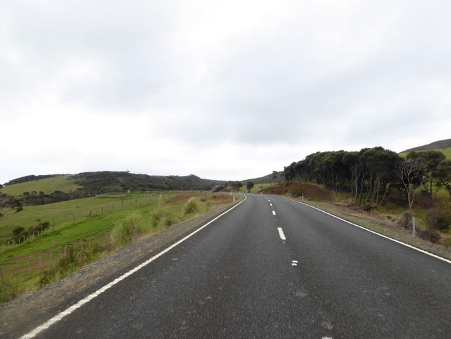
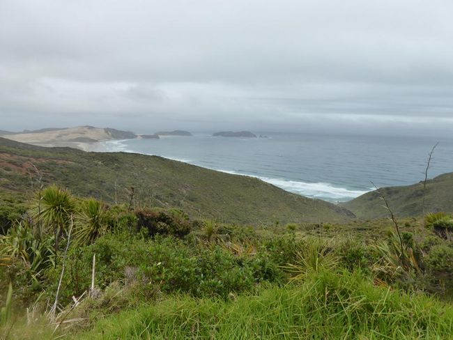
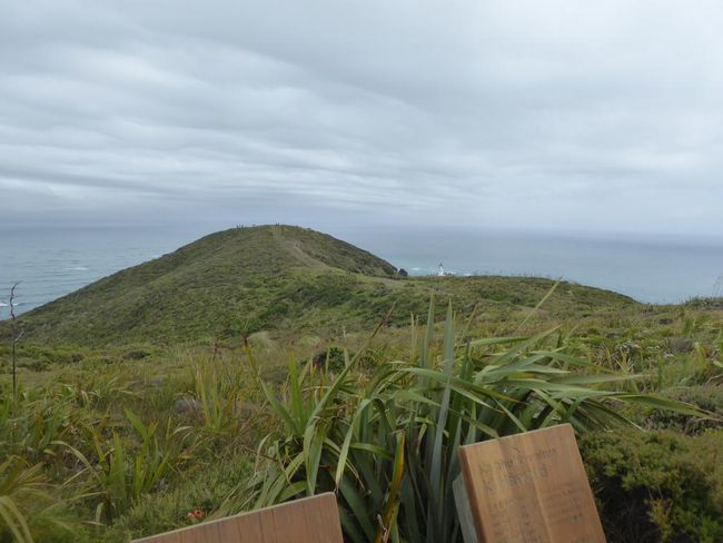
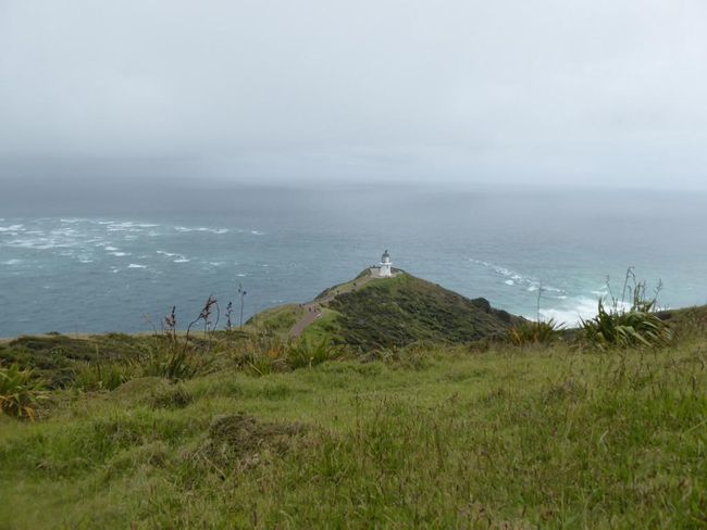
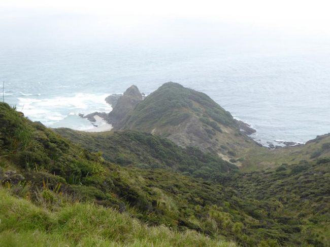
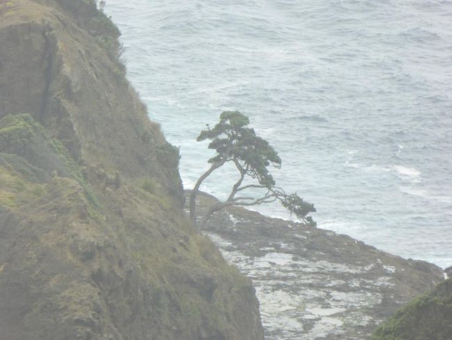
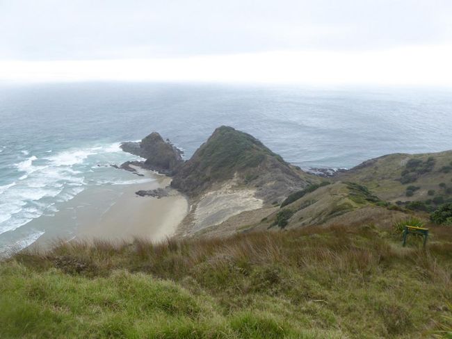
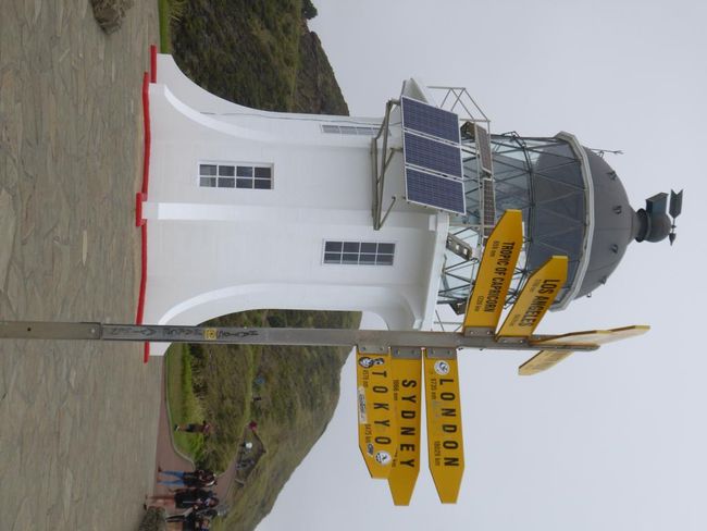
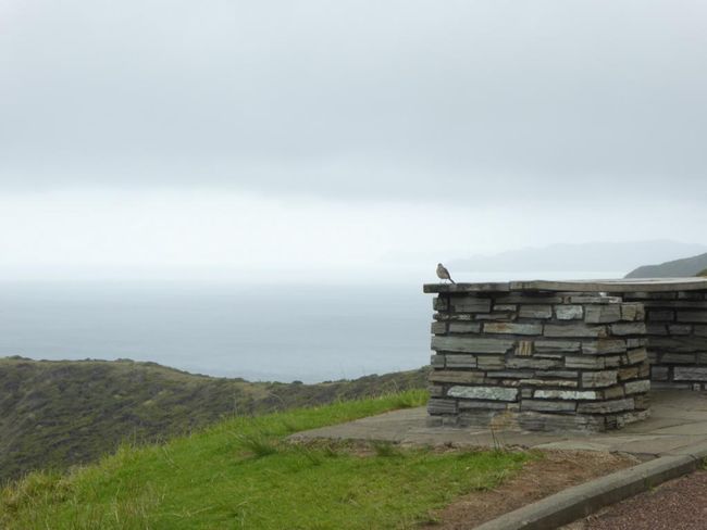
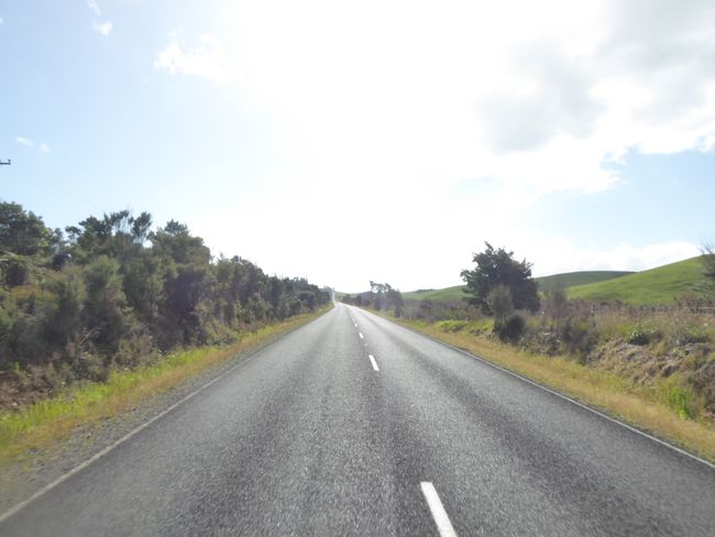
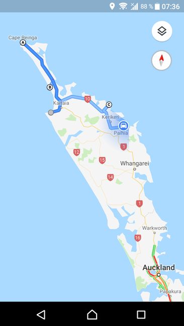
From Ahipara, I'm driving to the northern tip of the North Island today. Strictly speaking, Cape is neither the northernmost point (North Cape, 30 km east) nor the westernmost point (Cape Maria, 25 km west), but at this cape, the Tasman Sea and the Pacific Ocean meet, so the different wave patterns collide here. But more importantly, it has significance for the Maori, as they believe that after death, souls leave the island through this northern tip, specifically the Pohutukawa tree, and return to their original homeland, Hawaiki. Out of respect, eating, drinking, and especially overnight stays are not allowed here.
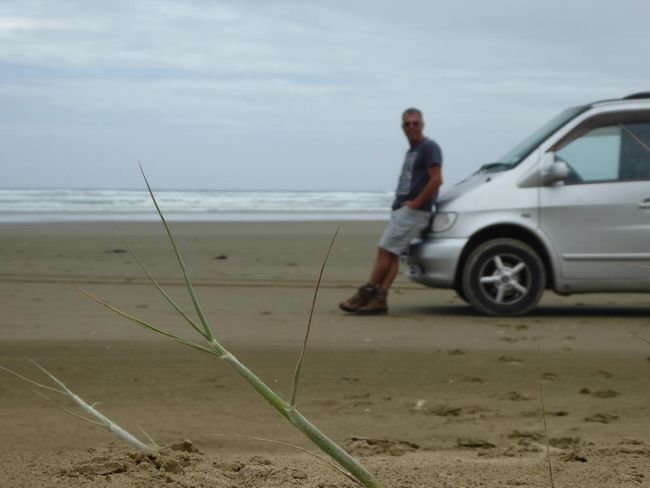
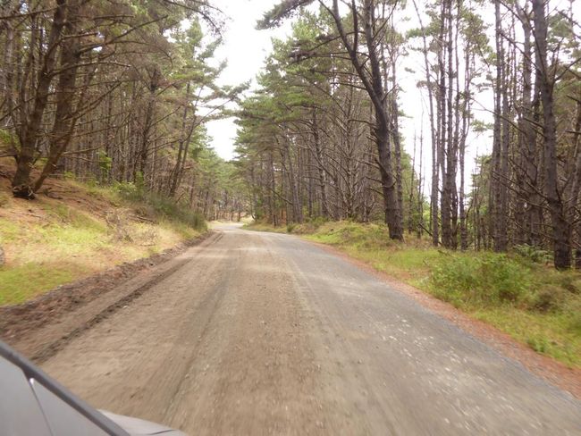
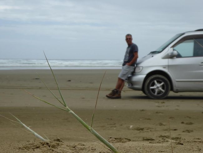
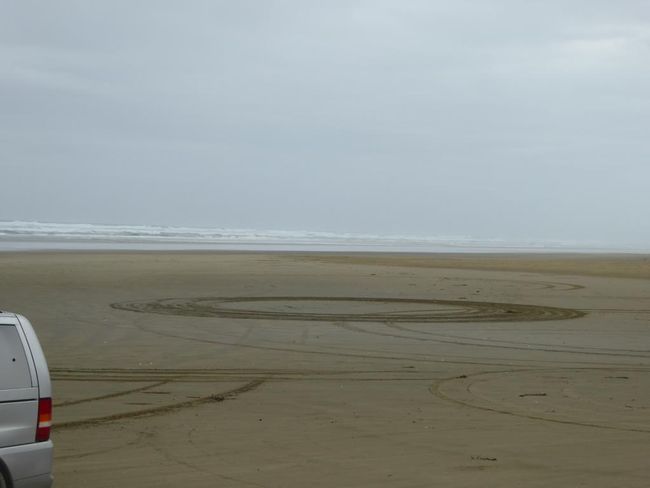
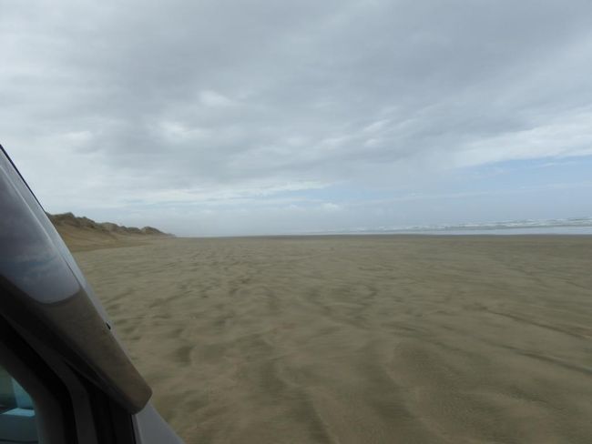
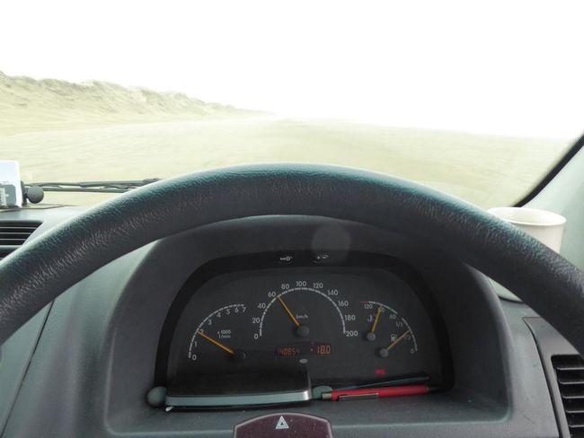
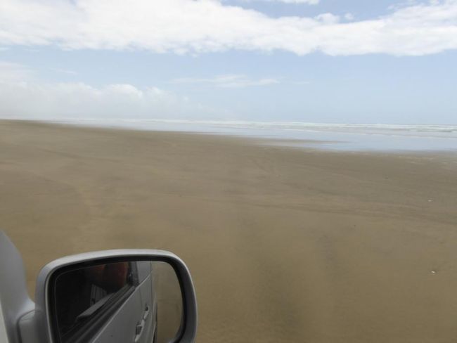
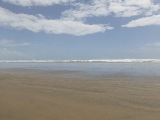
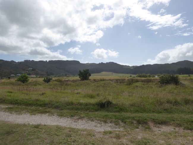
The west coast of the peninsula is a 90 km long straight sandy beach, which can be driven on as the 90 miles road. The northern entrance is closed due to flooding, but I can reach the deserted beach approximately in the middle via a gravel road. Due to the lack of network connection, I can't check the tide, but it looks good, so I start my first beach drive. At 60 km/h, I don't dare to go faster, I zoom southwards over the wet, flat sand until after 20 km, there is another exit from the beach. It's fun and exciting, especially when you suddenly decelerate a lot on dry sandy sections...
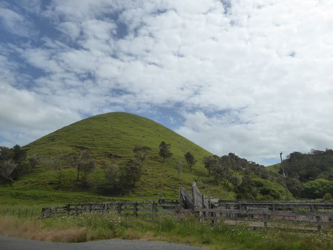
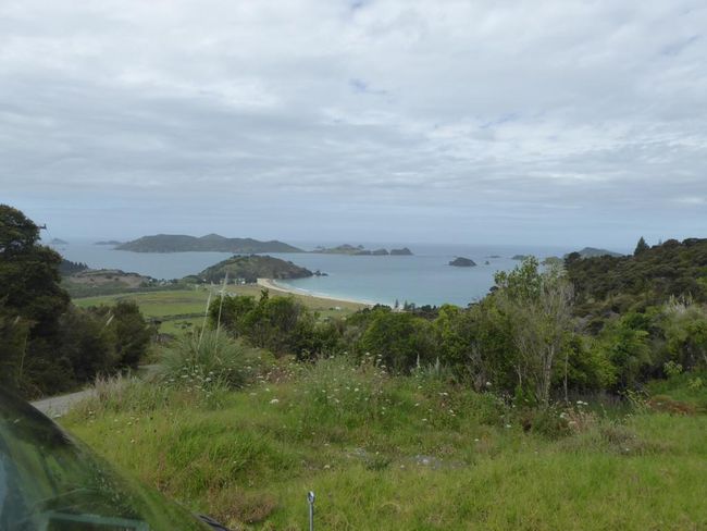
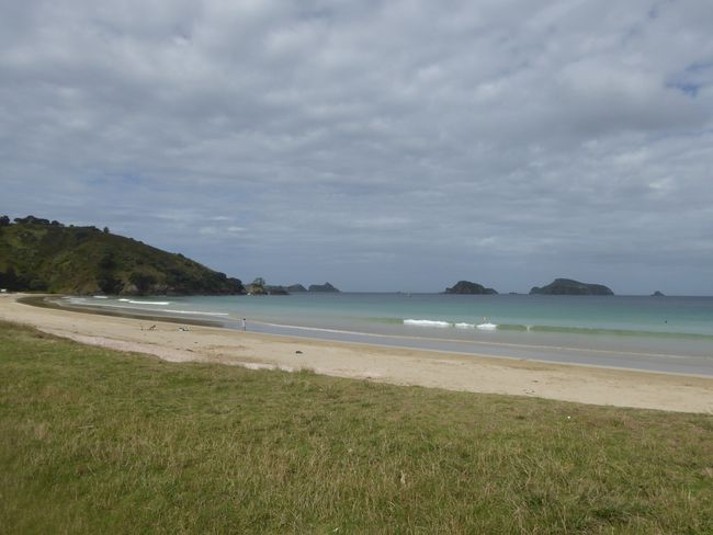
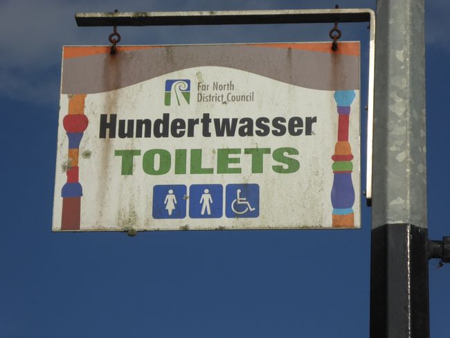
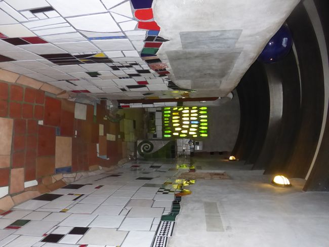
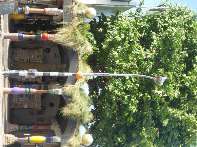
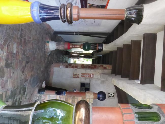
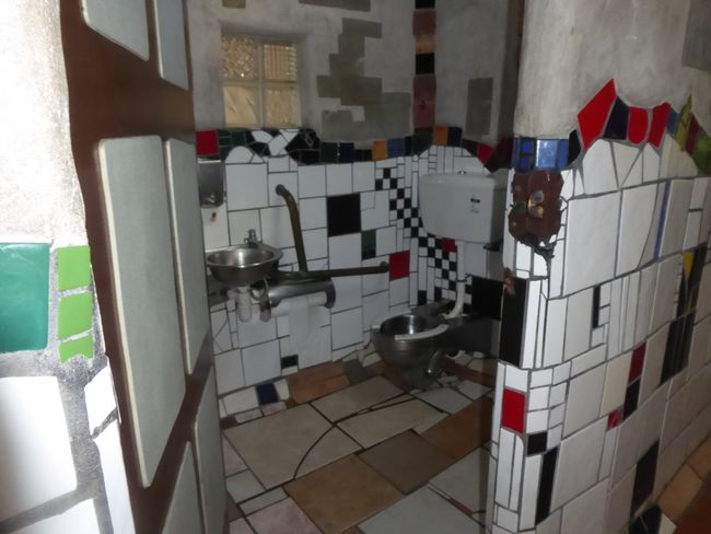
I switch back to the east coast and in Taupo Bay, I lay on the beach in front of a beautiful island landscape. The Cavalli Islands are said to be a great diving area, and the Rainbow Warrior, sunk in Auckland in 1985, is also here as a memorial and diving destination at a depth of 22m. On the drive further south, I pass through Kawakawa, where Friedrich Hundertwasser spent his last years and left the city with a very unique toilet house. The destination for today is Russell, the first European settlement in NZ, but just before that, I find a nice spot. Tomorrow, I will go to Russell and continue south...
समाचार पत्रिका के लिए सदस्यता लें
उत्तर
