19.1.2018: Finally SUN!!!
יצא לאור: 25.01.2018
הירשם לעדכונים
Such a day, so beautiful like today, such a day should never end...
After many rainy days, Nelson finally lives up to its reputation as the sunniest city in New Zealand and spoils us with bright blue skies and swimming temperatures.
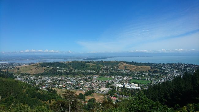
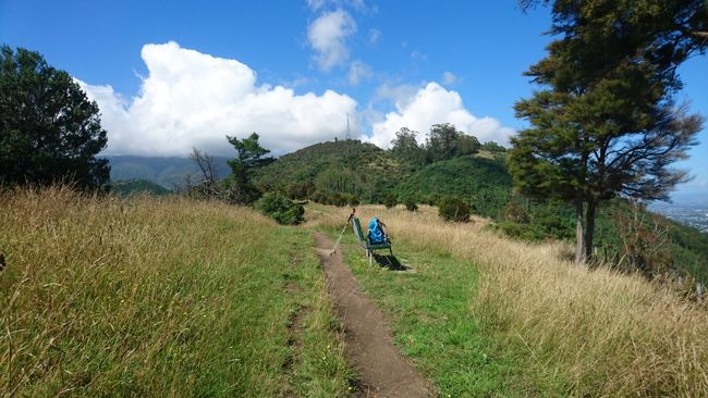
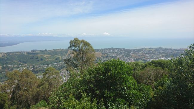
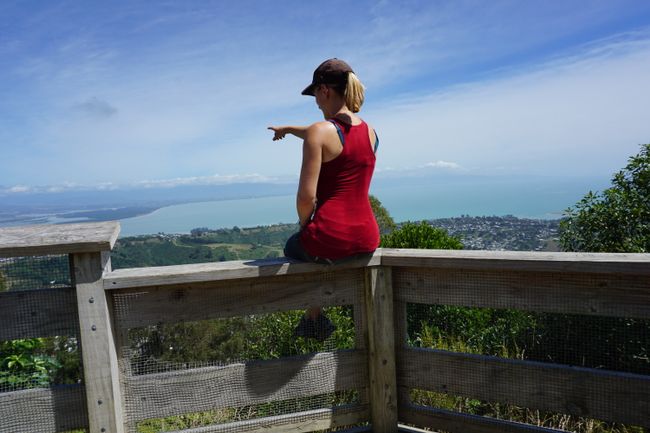
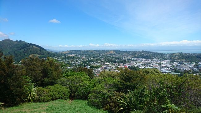
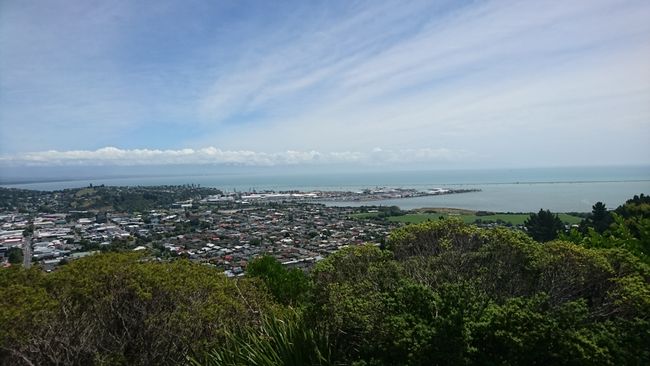
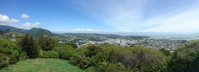
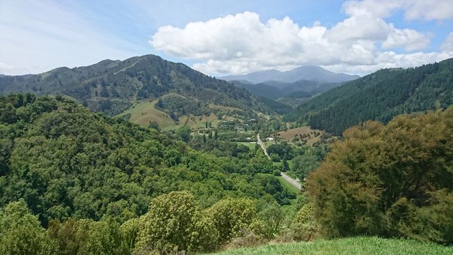
But instead of going to the beach, I'm heading to the Grampians, a series of hills that rise behind Nelson. The highest point measures 390 meters and is adorned with a television transmission mast. The Grampians are crisscrossed by a network of more or less long hiking trails that are popular with both walkers and runners due to their proximity to the city center - although they are not very well signposted. I follow the course of a gravel road for a good half hour to reach the first viewpoint. And it is worth it. Views of Nelson, the harbor, and the Boulder Bank reward the efforts of the fairly steep ascent. From here, I continue on a bit further towards the television tower, where another trail branches off to another viewpoint. After I have seen enough, I head back to the car.
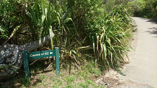
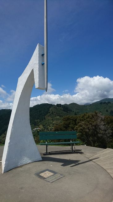
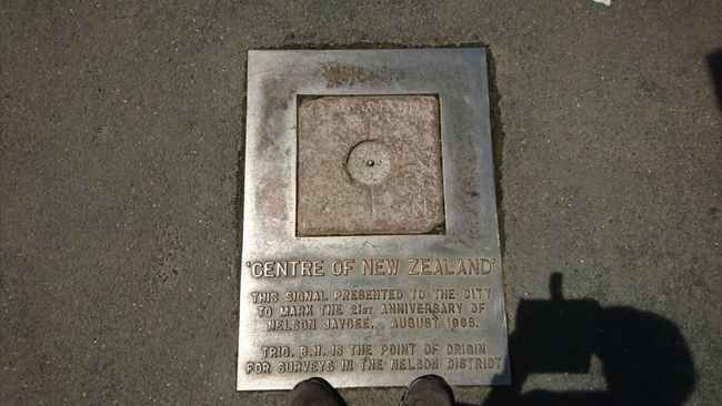
Now, I have already been to the northernmost, easternmost, and southernmost points of New Zealand. So, what is missing? Right, the center of New Zealand. Oh, you thought the westernmost point? Well, unfortunately, it is unreachable in the far-reaching fjord arms of the Southland - far from any civilization. On the other hand, the center of New Zealand is relatively easy to reach. It is located in Nelson. From the parking lot, a fairly steep path winds up a hill for 20 minutes. Even better than the marking post and the small metal plate embedded in the ground with the inscription 'Centre of New Zealand' is the view. It even surpasses that of the Grampians, where the view is usually somewhat obscured by trees and shrubs. Visitors have an unrestricted view of the city of Nelson, the harbor, the Grampians, and the 13 km long Boulder Bank. According to the topographic map, you can even see as far as Abel Tasman National Park. While I let my gaze wander into the distance, I enjoy my lunch. After I have finished my water bottle, I am forced to leave. Today is very hot, but after all the rain, I won't complain.
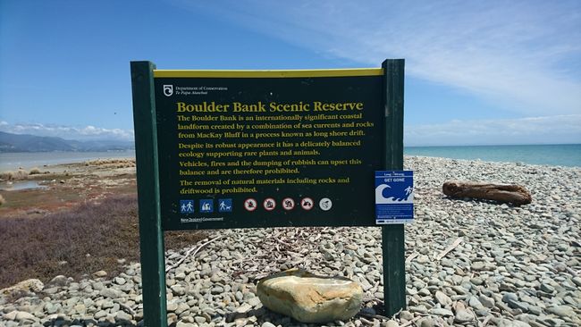
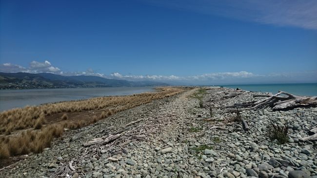
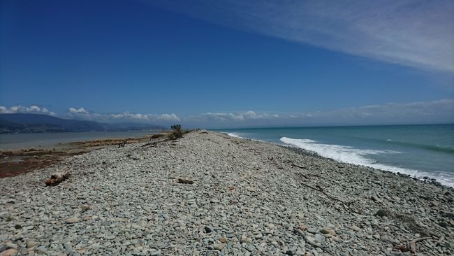
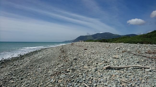
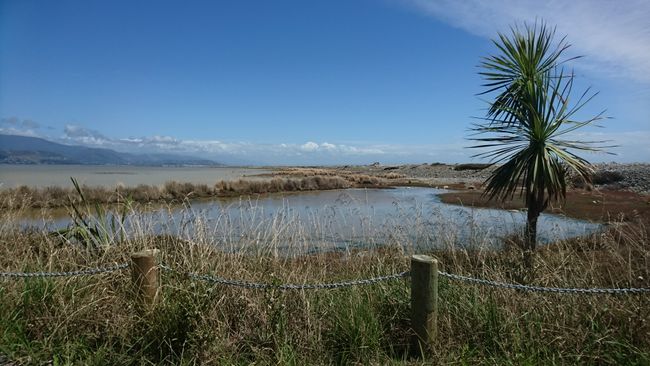
I would like to take a closer look at the Boulder Bank, so I drive onto State Highway 6, which runs directly along the coast. However, the view from above was much better as you could see the reef in its entirety. Nevertheless, I turn onto Boulder Bank Drive and follow the gravel road for a few kilometers until the end. From here, you can walk 8 km along the Boulder Bank in 2-3 hours. I decide to only go a few meters. The gravel spit separates Nelson Harbour from Tasman Bay and is managed by the Department of Conservation as a landscape reserve.
The loose stone ground is certainly tiring for the joints over time. It is not necessary to walk all the way back; there is a ferry service to/from Nelson. On the other hand, you do want to get back to your car somehow... I chat with an American for a few minutes, who has been living in Charleston on the West Coast for 5 months, before I start my way back after one last look at the sea.
Lastly, I give The Brook Waimarama Sanctuary a chance, even though their website says 'closed at the moment'. Unfortunately, the notice still stands, even though it is already a month old.
So, I first go to the hostel to pick up the key for my single room. It was the only thing available at short notice, and I didn't want to move just for one night. However, one night costs as much as two in a dormitory. A luxury that you don't treat yourself to every day.
Then, I go to the city one last time, as my phone contract with Vodafone will expire in two days, and I need to get a new one. At least that was perfect timing. I could have been somewhere in the middle of nowhere when I received the notification. But this way, it was quick and easy.
הירשם לעדכונים
תשובה (1)
Matthias
Da hattest du ja einen sehr schönen Ausblick gehabt 😊
דוחות נסיעות ניו זילנד

