12/2/2018: Out of the big city hustle and bustle
उजवाडाक आयलां: 14.02.2018
खबरांपत्राची सदस्यताय घेयात
Of all the New Zealand cities, I have spent most of my time in Auckland and Christchurch, but even if you search, you will still find unknown and yet worth seeing terrain.
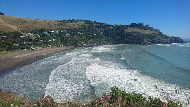
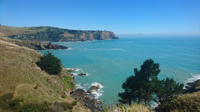
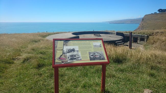
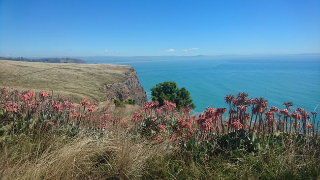
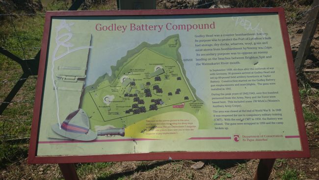
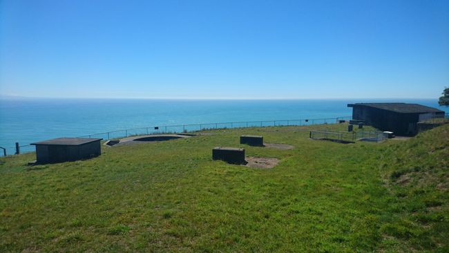
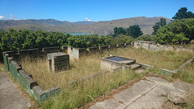
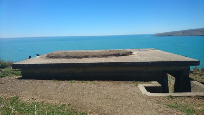
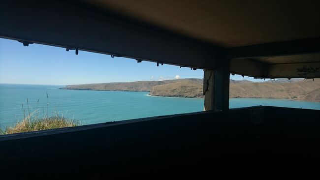
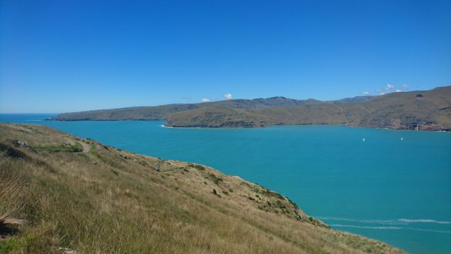
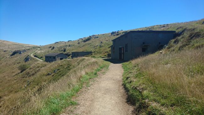
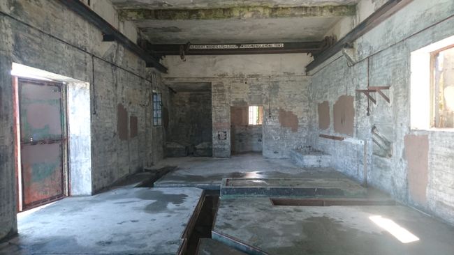
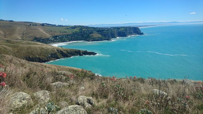
Today, my journey takes me to the outermost outskirts of Christchurch to Taylors Mistake. This is the last time I heed one of the numerous recommended excursions in my guidebook. When I start my hike at 10:30 am, there are already over 20 surfers in the water, and it's only weekday. Perfect conditions today. I quickly leave Sumner's Beach behind and follow the path hugging the headland towards Godley Head - the sea as a constant companion to my left and a handful of sheep here and there to my right. The beautiful coastal views are endless. I would have liked to visit the old rock shelters, but I can't find access. They are not explicitly signposted and seem to be mostly on private property. Next, the trail passes various observation and gun posts from World War II. Only the relatively large area of the Godley Battery is closed off due to earthquake damage. Over 500 soldiers were stationed here between 1942 and 1943 because New Zealand feared an attack by German troops, which never happened. However, you can visit the old military installations and bunkers. At the Godley Head car park, I search in vain for clear signage (which is already sparse). Although various mountain bike tracks and bays are marked, none of them are indicated on the map I photographed at the starting point of my hike - and there is no mobile reception up here to research online. Therefore, I have to rely on my gut feeling, follow the Anaconda Track, and luckily, I'm on the right track. After 3.5 hours (instead of the 2 to 2.5 hours stated in the guidebook), I reach the car park and my car, which has heated up to Sahara Desert temperatures.
By the way, what exactly 'Taylors Mistake' was is not explained on any of the information panels, but it seems to be related to a shipwreck due to a mistakenly taken route.
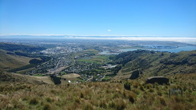
The last hiking trail on my list offers breathtaking views of both Christchurch and Lyttelton Harbour from above. It's about 10 km to the starting point, but unfortunately, there is a hitch. Even if I saw the 'Road closed ahead' sign, I hoped that the road is closed after the junction I have to take. But that's not the case. Two kilometers before the destination, I am actually prevented from continuing by a barrier. Too annoying, but the view from up here is still very impressive. I linger at the roadside for a few minutes and let my gaze wander over the city at my feet. Then I turn back and hope that my navigation system suggests an alternative route. It does, but unfortunately, it turns out to be under construction at the moment and is also closed. Now I lose interest. Actually, I wanted to take a step back instead of pushing through until the end of my vacation. No, even though it is rated as worth seeing, I decide to skip the last item on my activities list for Christchurch and instead drive back to the hostel to lay in the sun again and refresh my tan. Before that, I just make a detour to Pak'n'save to get bread rolls for breakfast and satisfy my craving for fruit. The selection at the German fruit and vegetable counter is certainly more limited here, so I have to take advantage of the local offerings again before going home.
खबरांपत्राची सदस्यताय घेयात
जाप
प्रवास अहवाल न्यूझीलंडांत

