Neuseeland: 8000km solo durch das schönste Ende der Welt
vakantio.de/8000km_durch_neuseeland
Day 16 - Mount Taranaki & Surf Highway - the wild southwest
उजवाडाक आयलां: 08.08.2019


खबरांपत्राची सदस्यताय घेयात
30.12.2014
When I wake up at 8:00 am, it looks completely overcast outside and starts raining heavily as soon as I get into the car. So it is clear that I definitely won't pursue the plan in the back of my mind to drive to a viewpoint on Mount Taranaki. Because the volcano is not visible at all, due to the clouds. Historically, the volcano has two names: Mount Egmont and Taranaki. The latter is easily recognizable as the original Maori name. Captain Cook renamed this perfect cone volcano after some Earl who had never been here. Today, only the surrounding national park is called Egmont National Park, and the volcano has regained its original name, Taranaki.
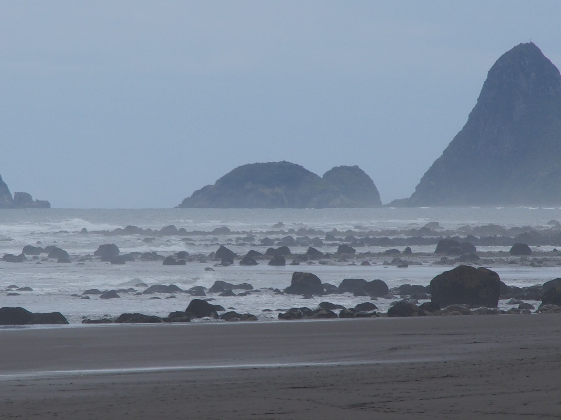
I get some mineral water - since there is no cheap one left, this time it costs $2.59 per bottle! But then off, it's already half past ten. The gray of the sky slowly clears and when I briefly stop at a beach of one of the next villages, there is already sunshine. I continue until there is a right turn 3km to the coast to Cape Egmont. Here stands one of the few lighthouses on the coast, which has already averted several shipwrecks. This could be quickly realized when it failed once and a ship without any technical navigation aids ran aground on the rocks in front of the beacon.
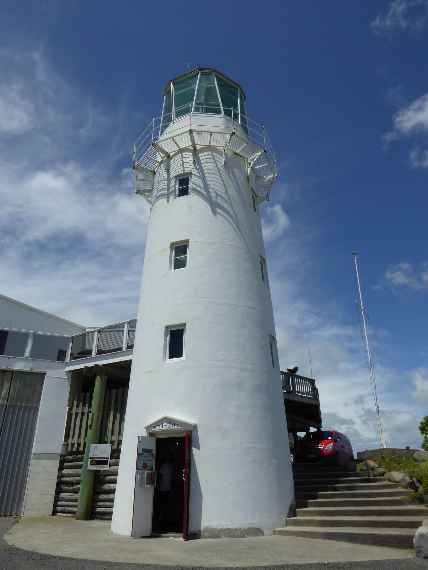
Currently it is low tide and you can see only huge stones for about 150m and the waves break on a reef offshore. Two dogs run around here and it's funny to watch them when they sit next to each other and look at the sea. I climb up the lighthouse and I am disappointed that you can't go outside.
Back on Surf Highway 45, soon on the left you can see the lower part of Taranaki for viewing. Well, maybe it will work out today after all.
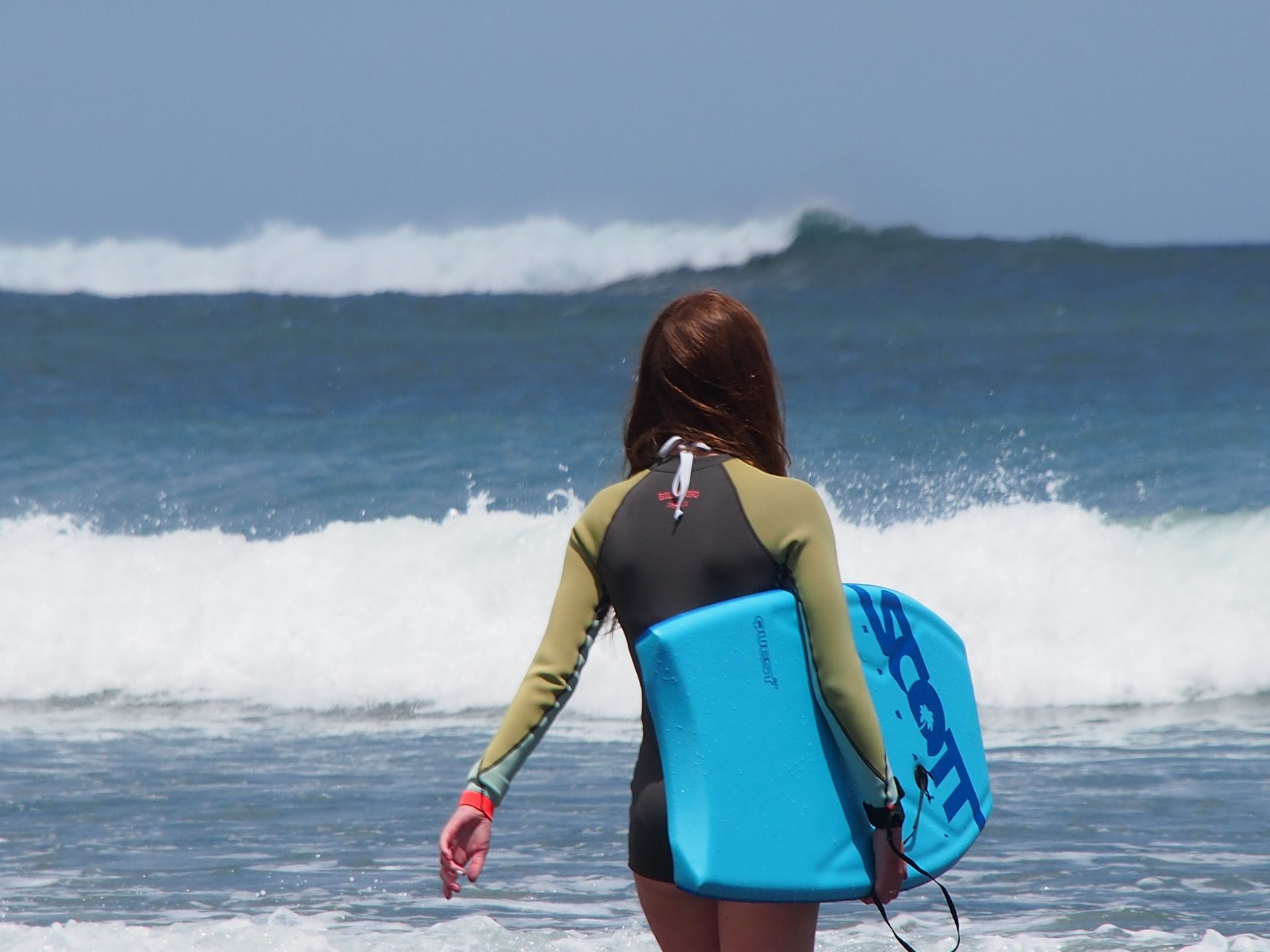
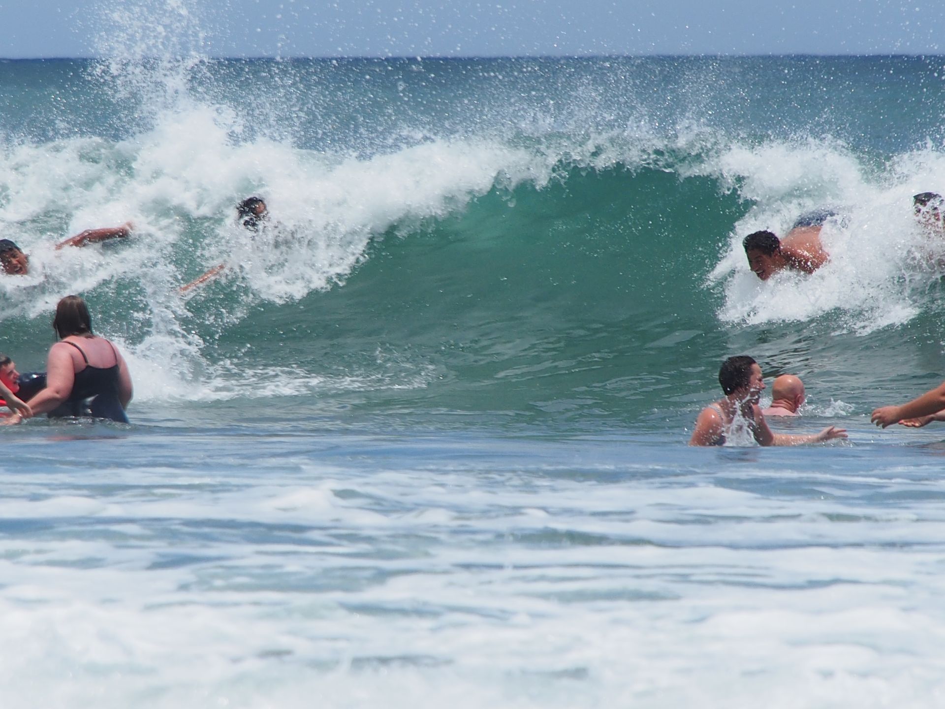
In Opunake I drive down to the beach and spend an hour and a half there, walking along the beach and again wondering that there are people who swim here at 16 degrees water temperature. The children are mostly armed with small boogie boards and protected from the cold water with wetsuits.

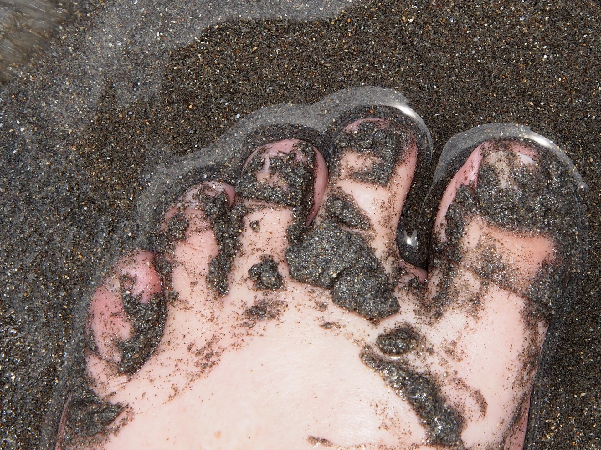
The beach is quite dark and that always leads to really dirty feet afterwards. I get myself an ice cream, enjoy it in the sun and then continue.
Since it has really become nice now, I turn left at Manaia. The road leads straight through a village called Kapuni and then through Kaponga, which looks like a ghost town.
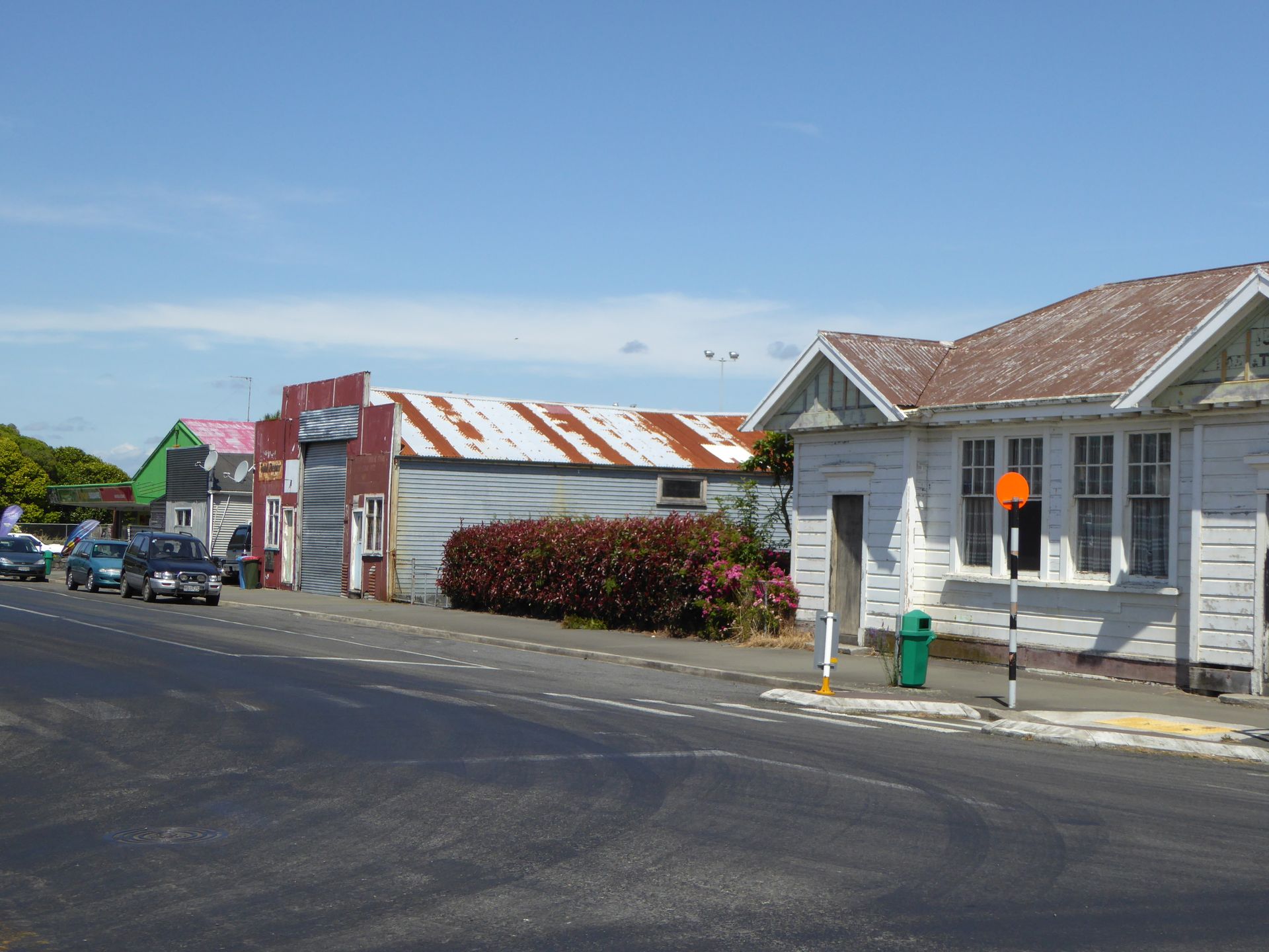
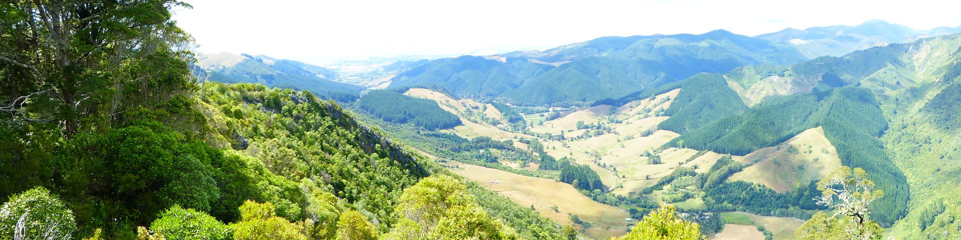
Unbelievable how ugly all these roadside villages are. Half to completely dilapidated houses. Somehow it's as if people just keep moving on and leave everything behind, including the houses. After a few more kilometers - only 15 minutes away from Highway 45, you reach the national park. This becomes immediately visible, as the flat foreland of Taranaki with its endless pastures of cattle abruptly ends and you suddenly continue in a jungle. The road is narrow but paved. After about 15 minutes, you reach a parking lot near the Dawson Falls at an altitude of 1075m.
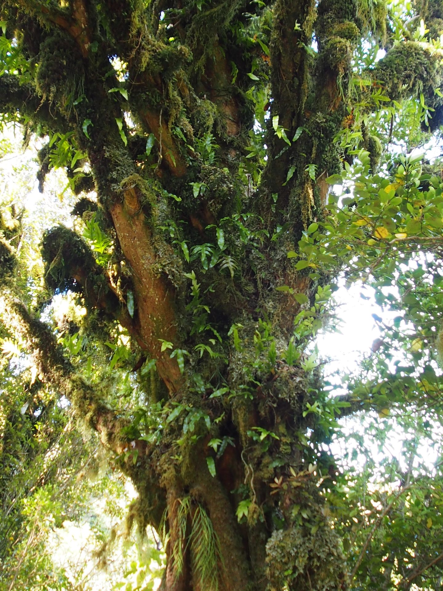
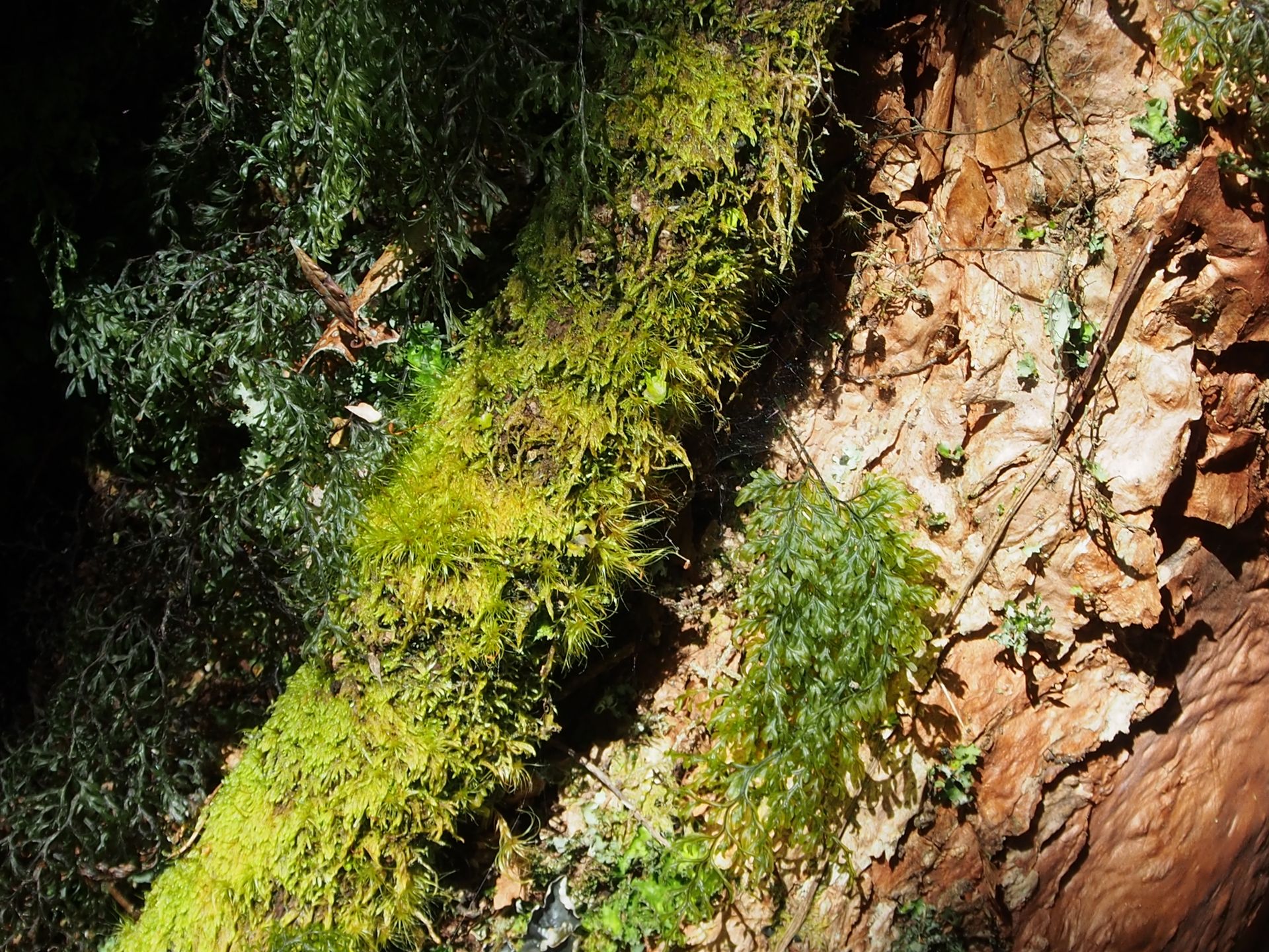
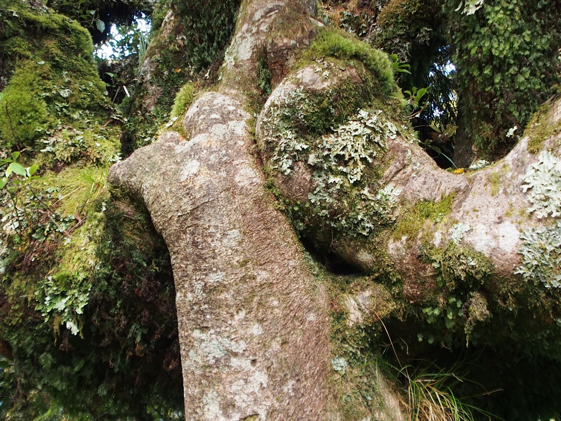
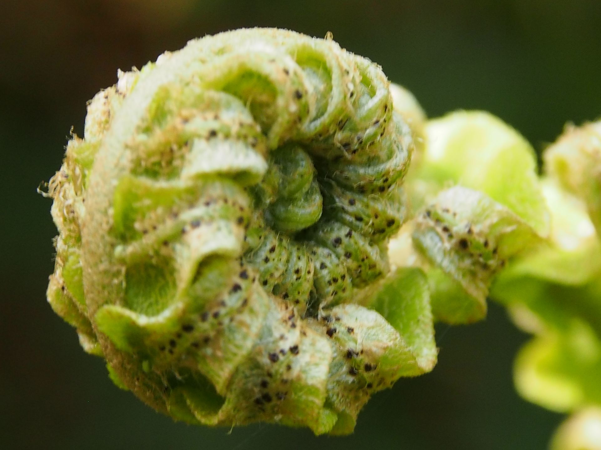
There are only 3 paved roads to Taranaki, this is one of them. But the summit is still far away, although there have already been surprising views of the cloud-covered peak on the jungle route. I decide to go on a short hike, which is not very long but has a climb of 100 meters. The trail is fantastic, as it leads through enchanted forest sections with lots of mossy trees, hanging moss, very small flowers that are usually only white and yellow, and endless amounts of different ferns.
At the end of the trail, you reach the Willis Pools. Actually, they are just small pools of water at the end of one of the meltwater drains from Taranaki, which is still crying for its beloved wife, who was the wife of Tongariro.
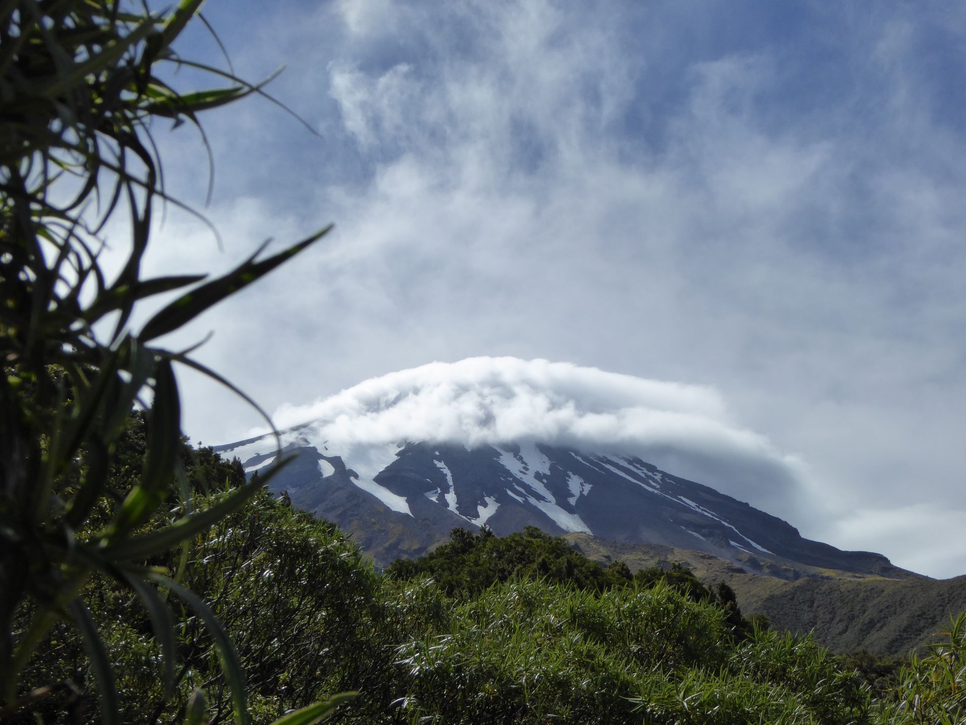
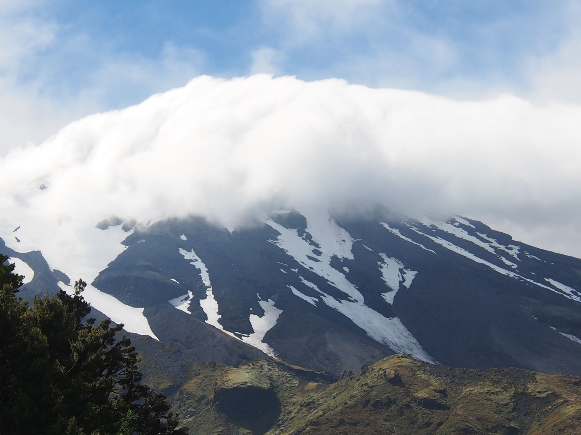
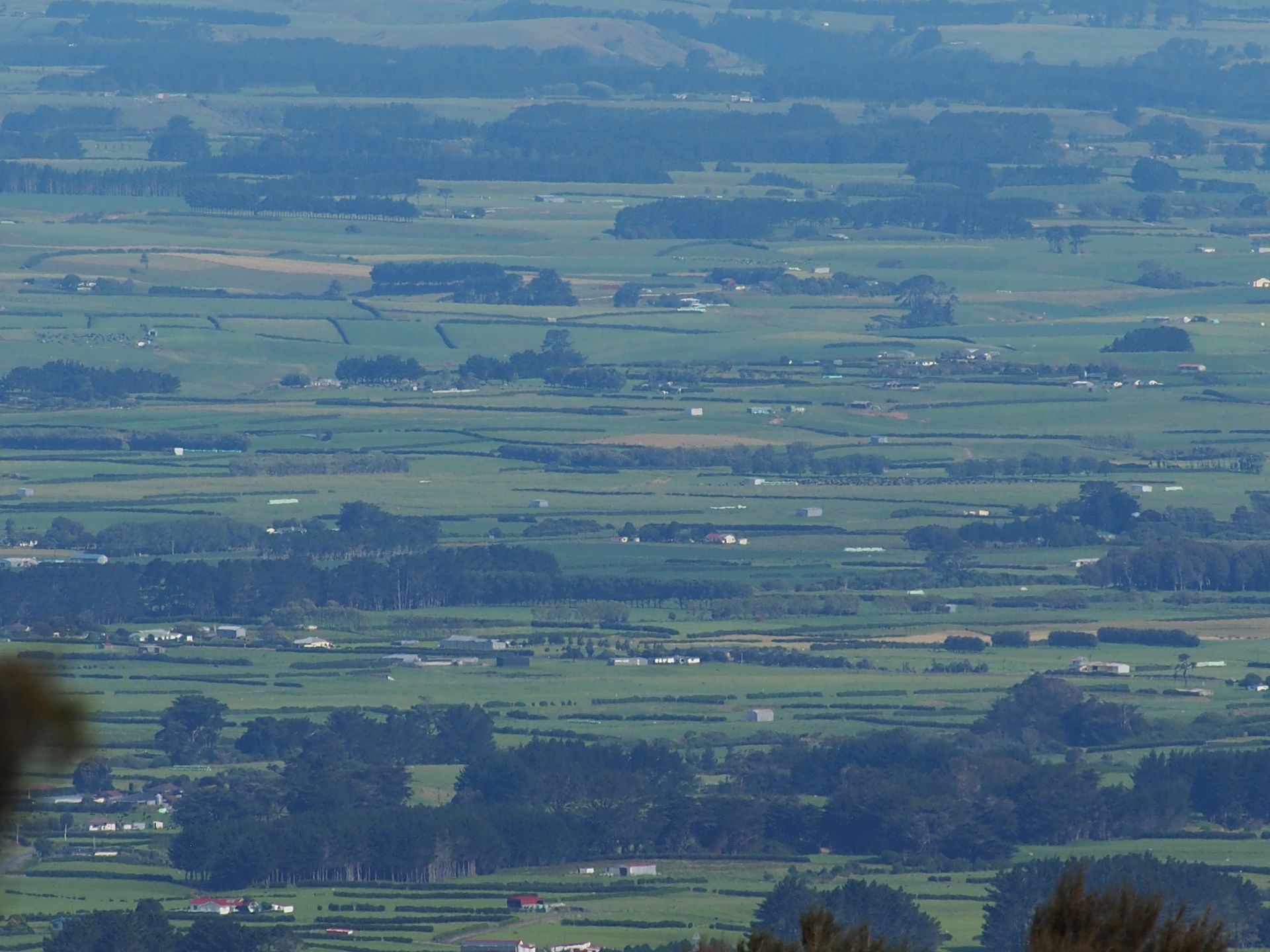
The view of the summit of Taranaki from here is already quite impressive, although the clouds still hover around the top. But now you can clearly see the glaciers and from up here you have an impressive view of the wide plain surrounding Mount Taranaki in the other direction. The small farms you can see from here look like toys, and in the distance, hills rise that surely belong to the area of the other volcanoes.
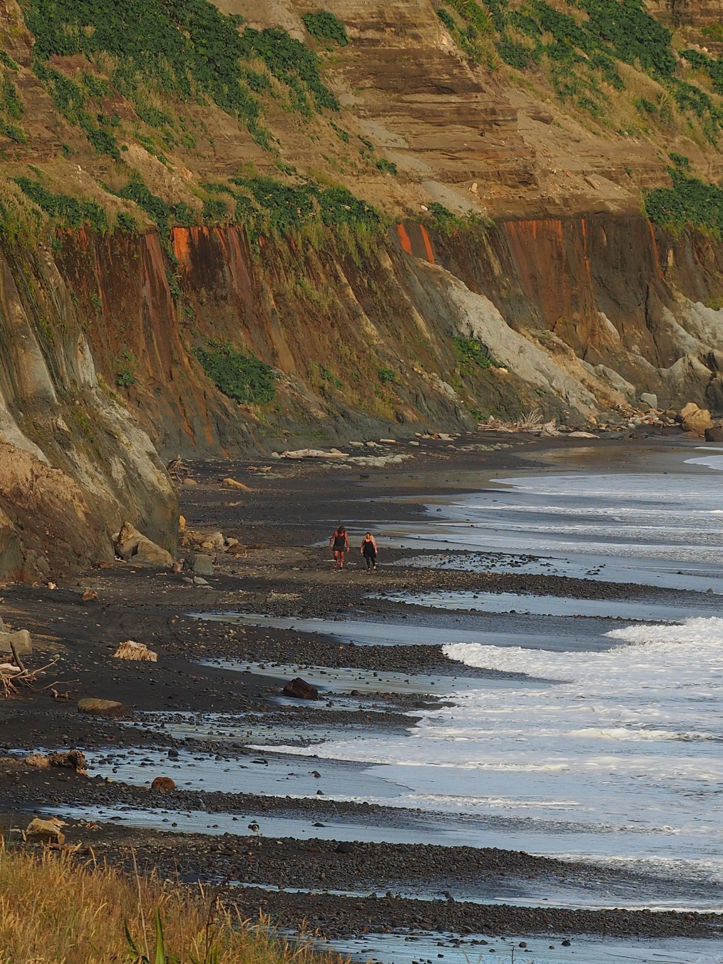
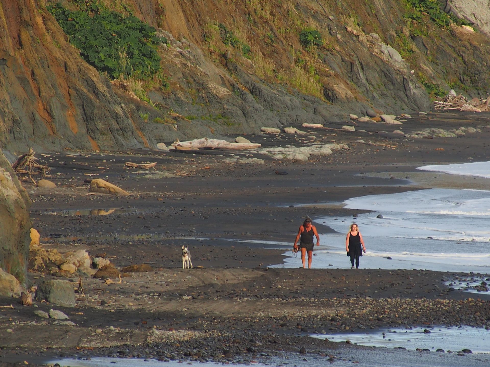
When I get back to the car, it's already after 4:00 pm. I actually wanted to go to Hawera and stay there, but now I read in my Dumont travel guide that Wanganui, located about 100km further south, is supposed to be a nice, well-preserved town where the city planners have not demolished everything old. So I drive first to Hawera, where I arrive half an hour later. There is nothing special here again, so I also drive to Ohawe, about 9km from Hawera, where there is supposed to be a great beach.
A good view of the beautiful bay with a gigantic high and long cliffs can be found here, but there is currently no beach access. But since it's slowly getting late, I am satisfied with taking some photos and now decide to drive to Wanganui.
My GPS says it will take about 1.5 hours. I'm not very hungry, so I don't need to allocate time for that today. Just find a motel somewhere and call it a day. Because tomorrow I can explore Wanganui and I don't have to drive so far to get to Wellington.
I reach the Siena Motor Lodge shortly before 8:00 pm, which is the nicest motel I have had so far. However, it is not a bargain at $115. It is located about 3km from the city center on the main road and I have a beautifully clean room where you can tell that the owner pays attention to many details. Finally, the cutlery is of one type and clean, and not a collection of various tin parts from the last and penultimate camping holidays. The bathroom is spotlessly clean and the bed is a dream. I get myself a bun diagonally across from the supermarket and I also have a dip made of sour cream with chives and a bottle of Tiger Beer. Just secure some pictures, upload them to Facebook, and off to bed.
Daily distance: 292 km
खबरांपत्राची सदस्यताय घेयात
जाप

प्रवास अहवाल न्यूझीलंडांत