New Zealand Part 2: Hot Springs and Volcanoes
Foillsichte: 13.10.2019


Subscribe to Newsletter
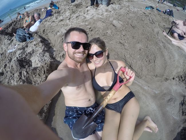
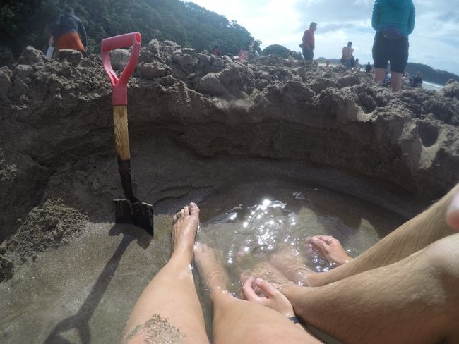
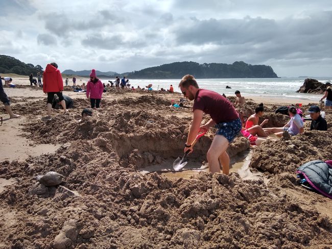
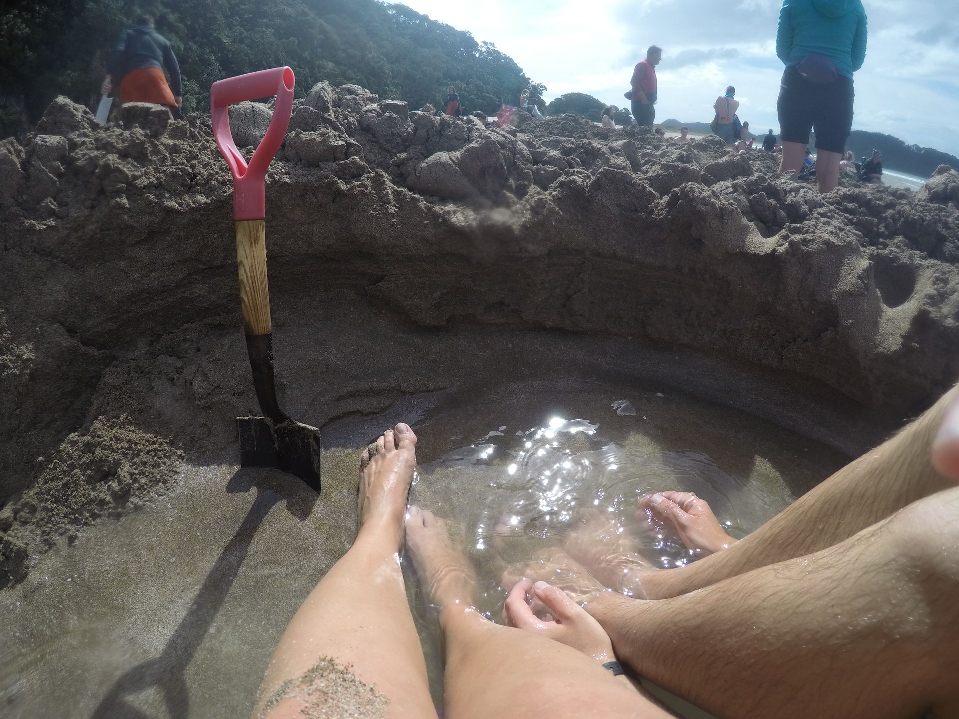
During the time from two hours before low tide to two hours after low tide, you can dig your own pool at Hot Water Beach. And as the name suggests, it is filled with hot water. We arrived an hour before low tide, armed with a shovel, and started digging. Many others had already found hot water on the beach and were now relaxing in their hot pools. It looks really funny and is also phenomenal. The waves of the South Pacific break just a few meters away, naturally cold at this time of year, and you are lying 15 meters away in the hole and almost scalding yourself. We were also successful, although the depth of our hot water hole could have been deeper. I then rinsed off the sand in the ocean, like a cool bath after a sauna, not bad at all!

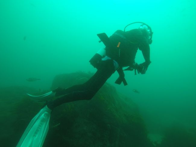
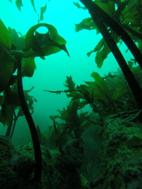
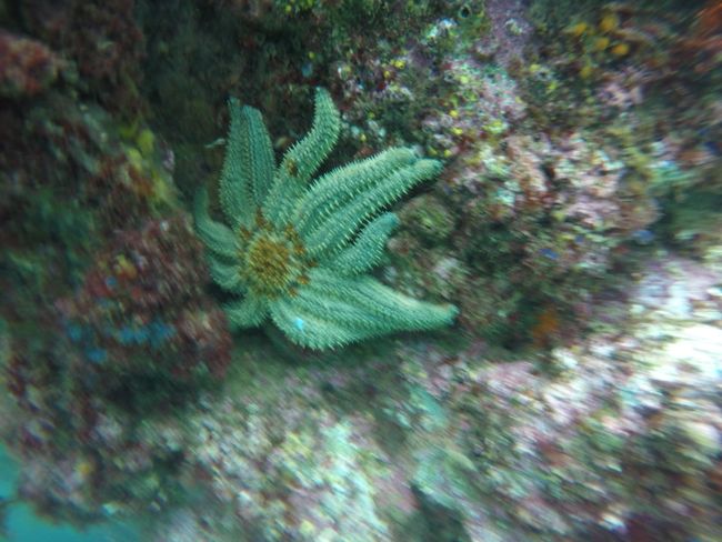
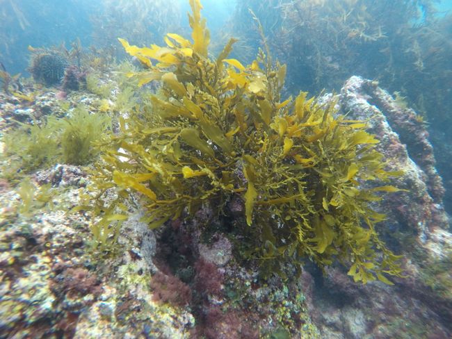
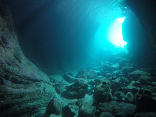
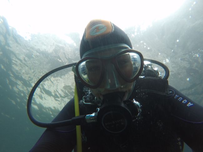
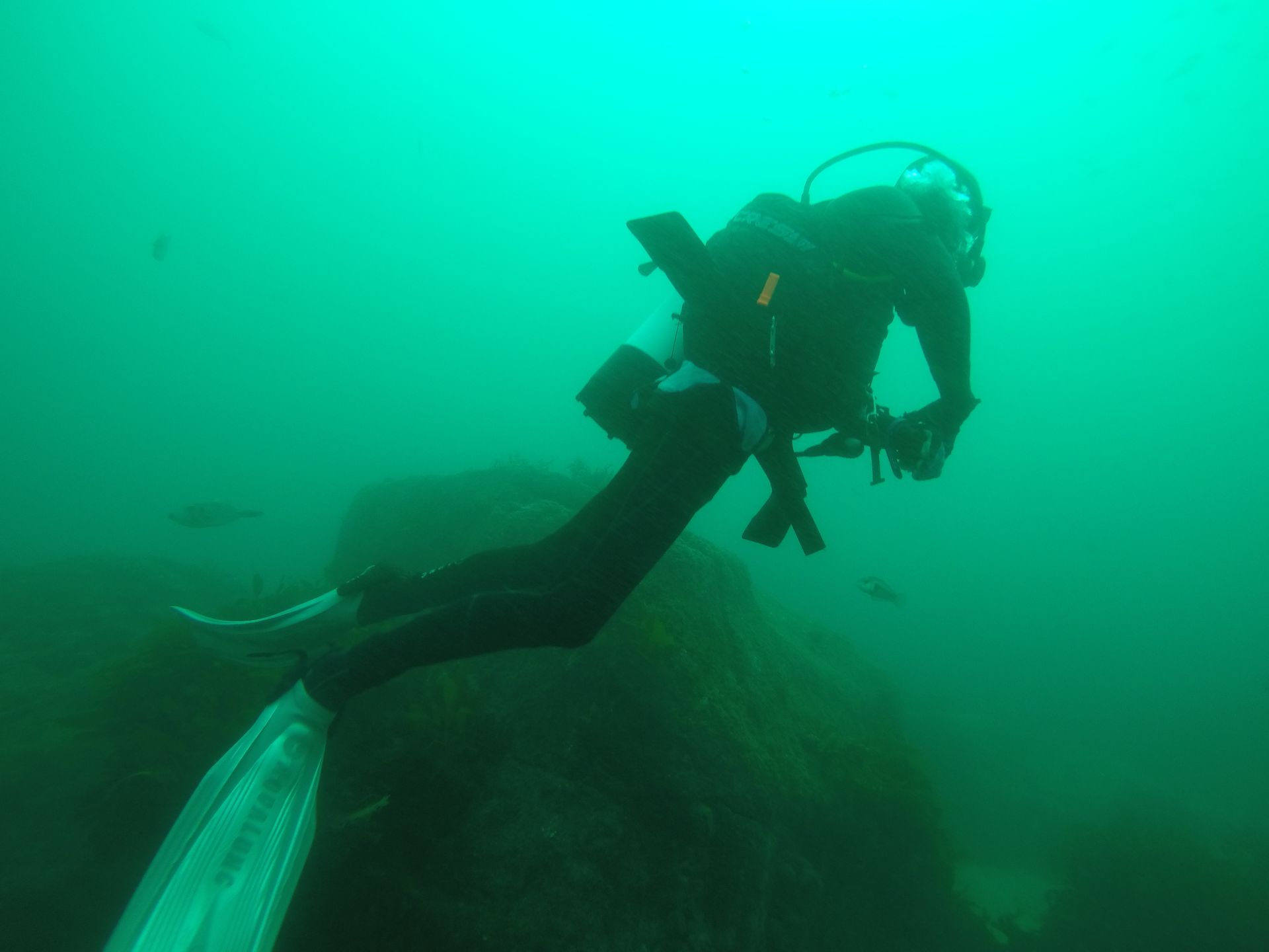
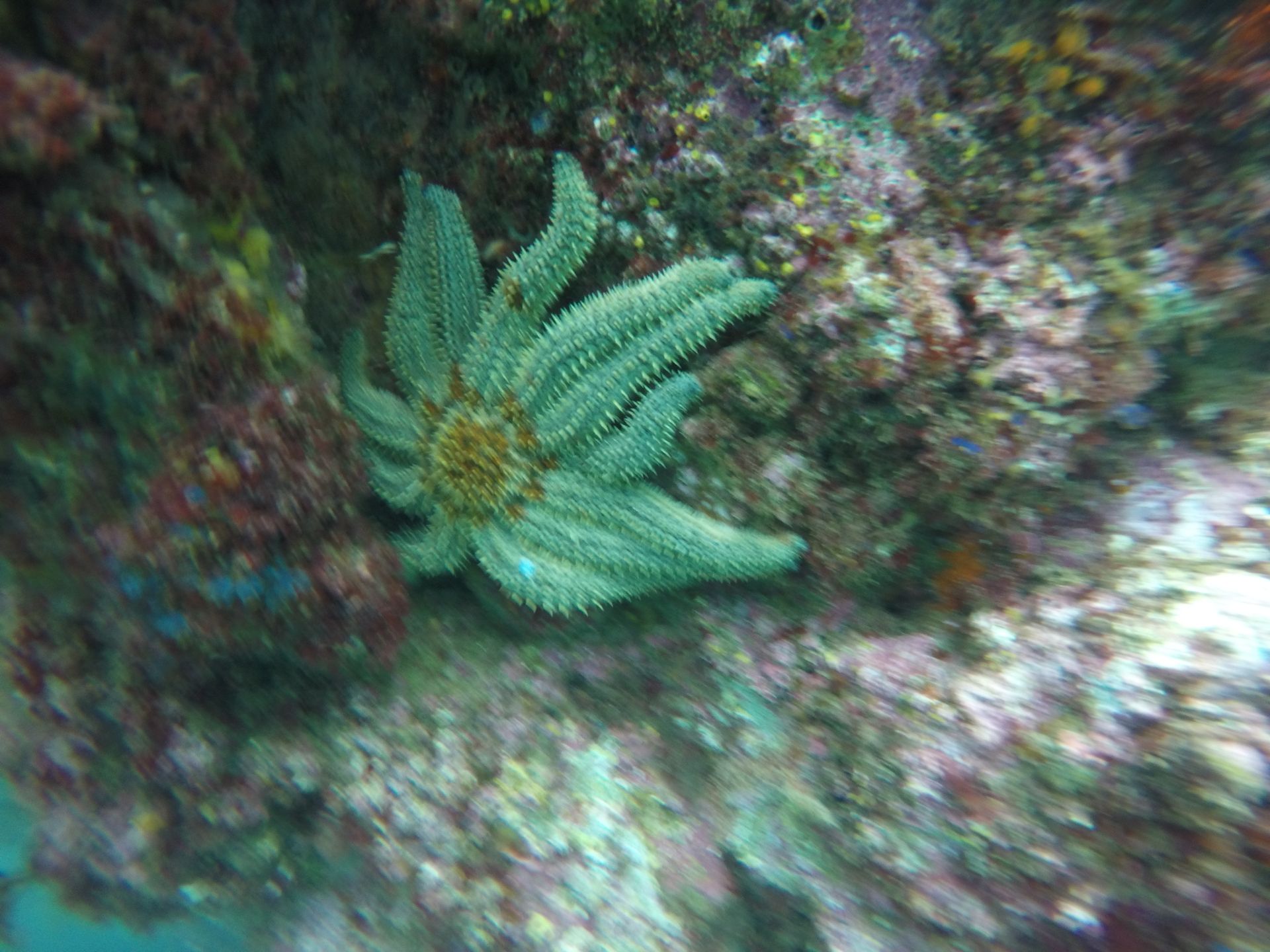
After several attempts (wind too strong, out of season, only on weekends, ...), Cerina finally got to go diving. Not tropical 26°C, but Nordic fresh 14°C with 7m visibility. There were some colorful fish to see, small kelp forests, and bizarre starfish, such as the snake star or the eleven-armed starfish.
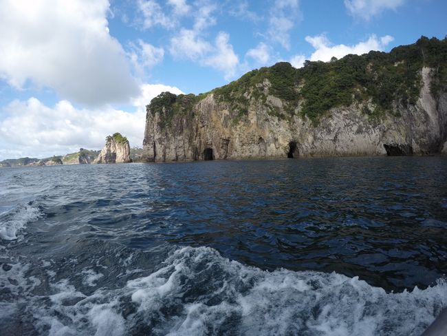
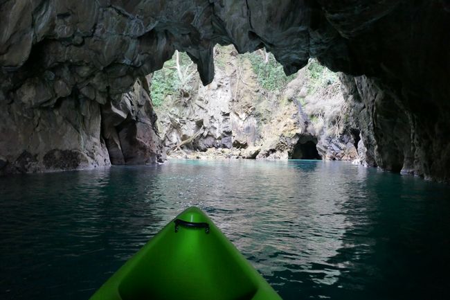
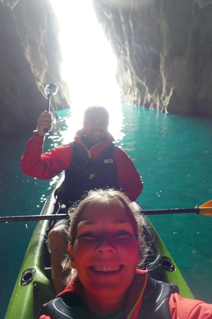
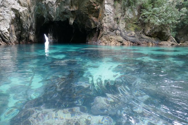
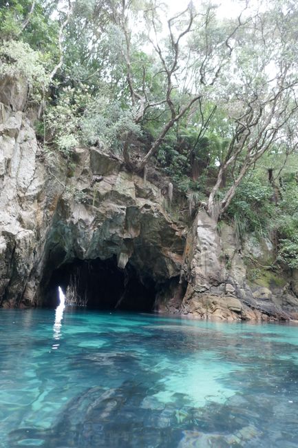
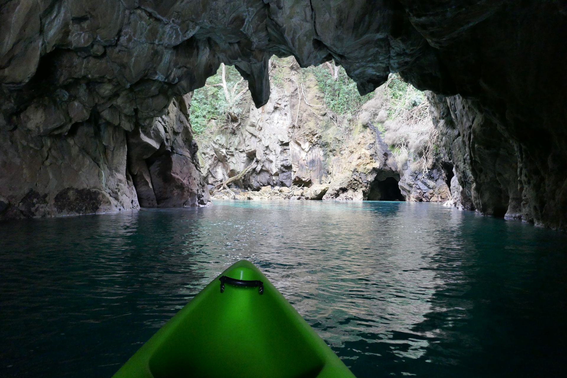
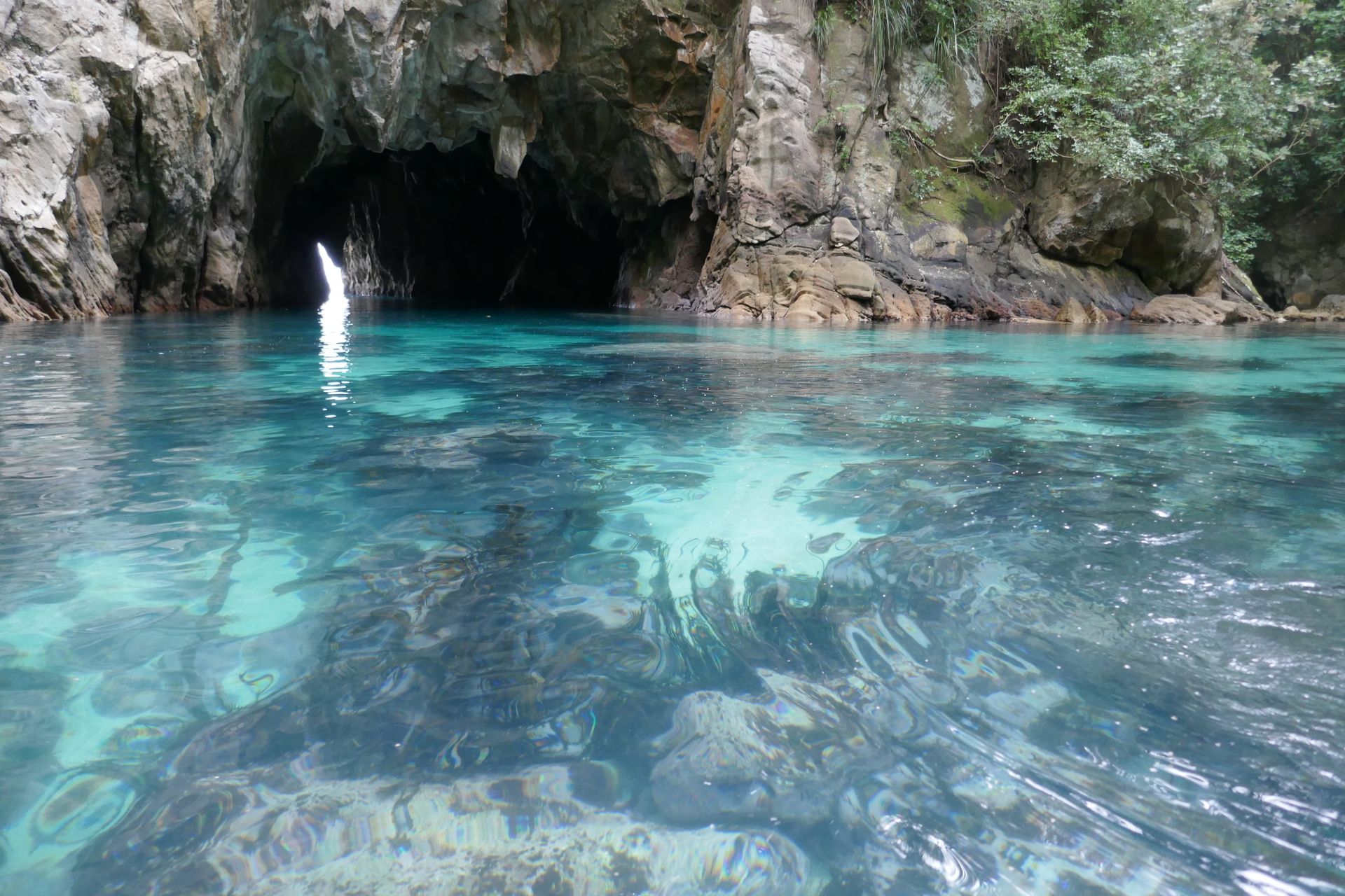
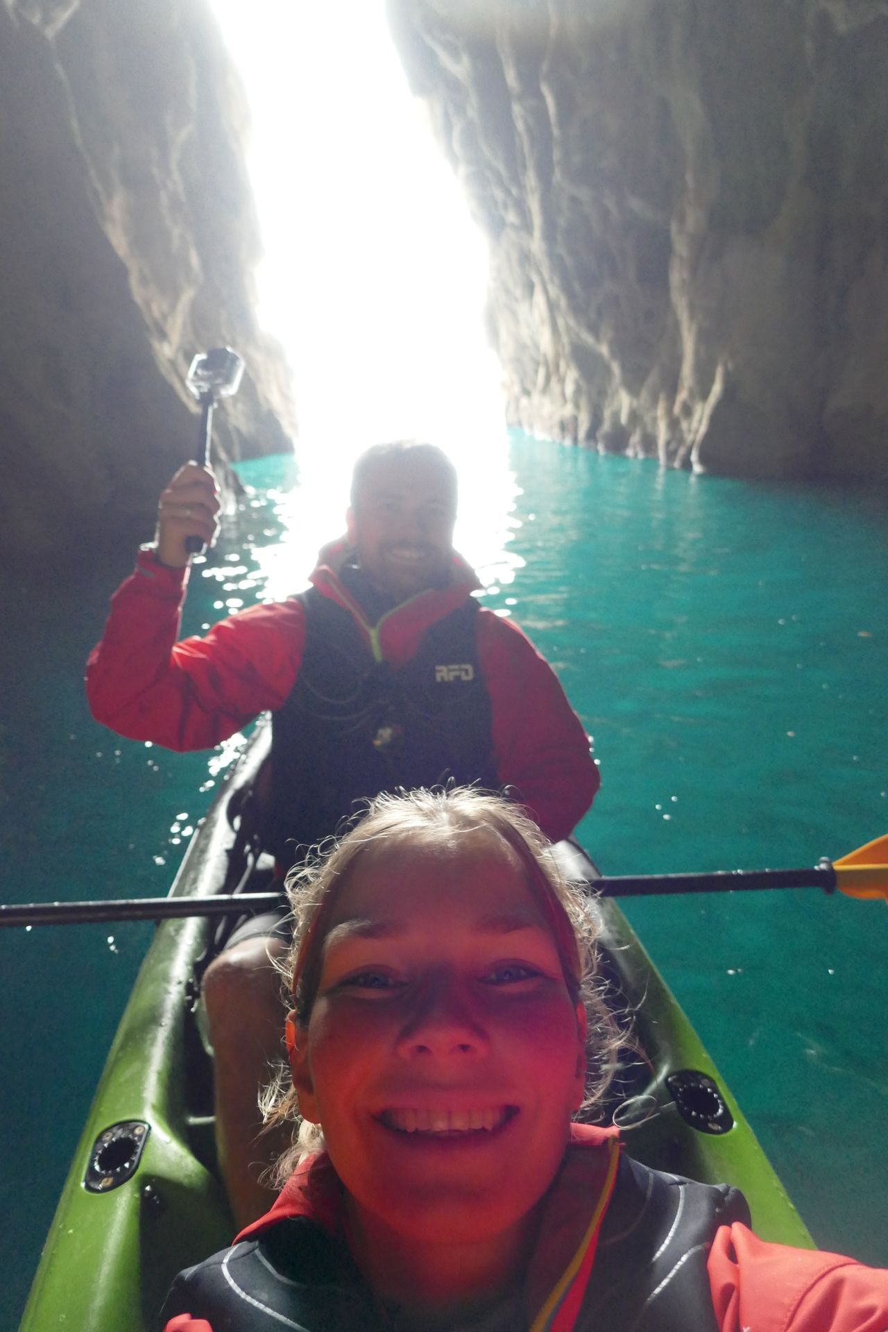
In the bay of Whangamata lies "Donut Island". A small rocky island with a lagoon in the middle, only accessible from the sea. The island itself is a nature reserve and access is strictly prohibited. The wind and waves were still low that morning, but both were expected to increase by noon. We rented a double kayak and started our tour there. After leaving the beach, we soon realized that the waves were higher than expected from the shore and the wind was also challenging. We reached the island and paddled through the tunnel into the lagoon. It was quiet here. You could hear some birds, the sound of the sea, and not much else. The water suddenly became clear, we took photos and videos, and enjoyed the place for a while. When we paddled out again, the wind felt like it had increased by two wind strengths, and the waves followed suit. With a great deal of effort using the muscles needed for paddling, we navigated along the rocky steep coast of Donut Island, a stretch in open sea, to the next island. That was the most dangerous part. The rental company said that if you make a mistake at this point, the next land is called Chile. But we've been there before. So we followed along the island and then turned back towards the beach, because that's where the distance between the island and the beach is the shortest. Near the beach, the wind was gone, the waves were small, and we could paddle relaxed again. Pretty soaked, we landed on the beach.
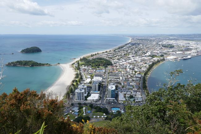
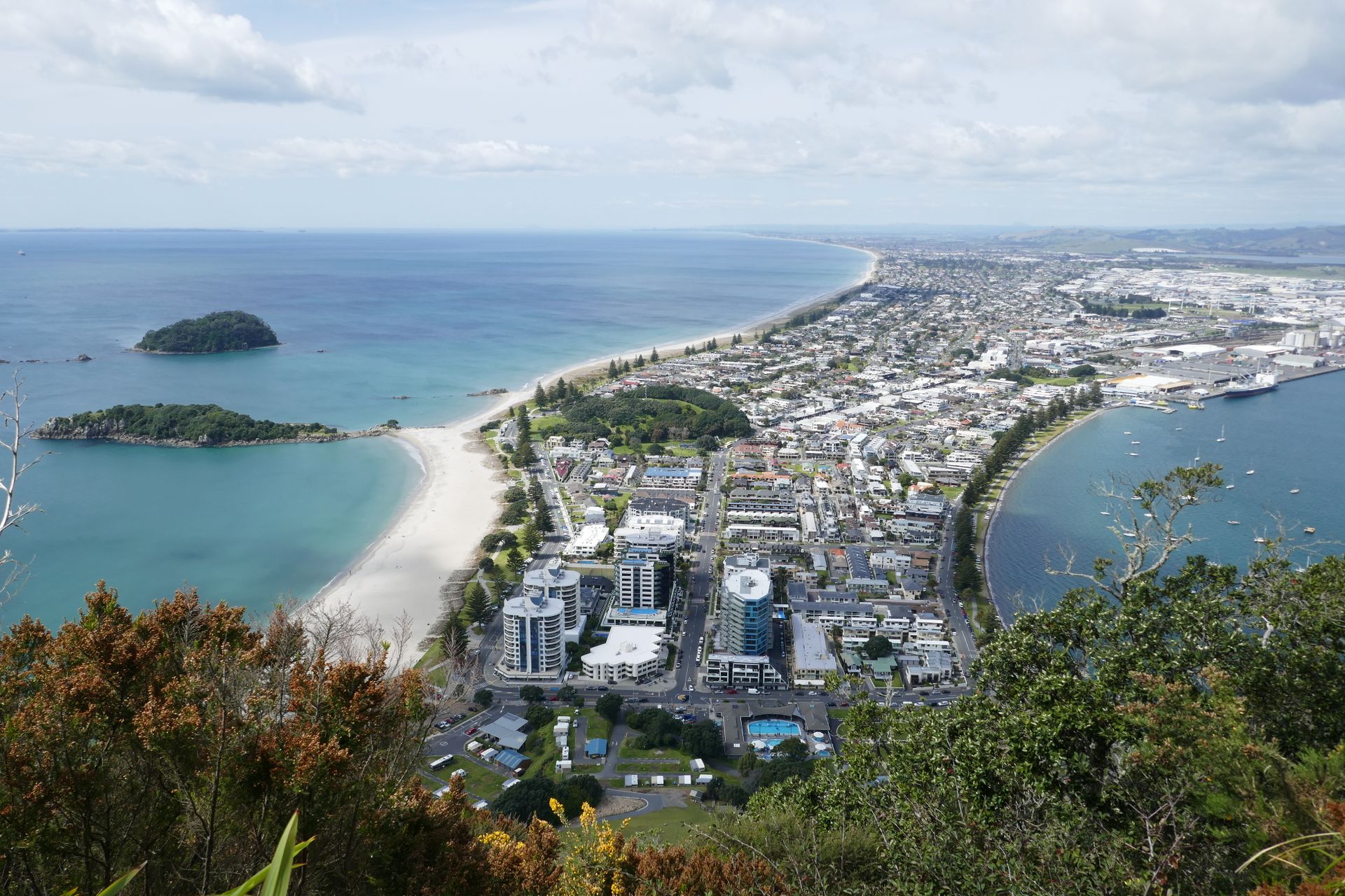
Our tour to the extinct volcano Mt. Maunganui was much less dangerous. After a short, steep ascent, we had a nice view over the bay and its islands, the ships wanting to enter the harbor, and the city. The way back was even faster, as we jogged downhill.
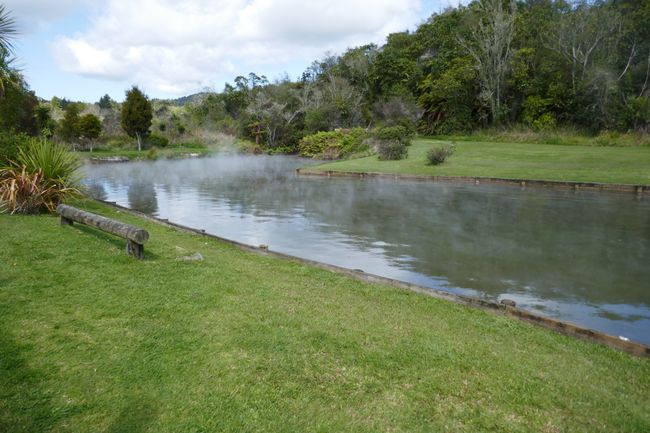
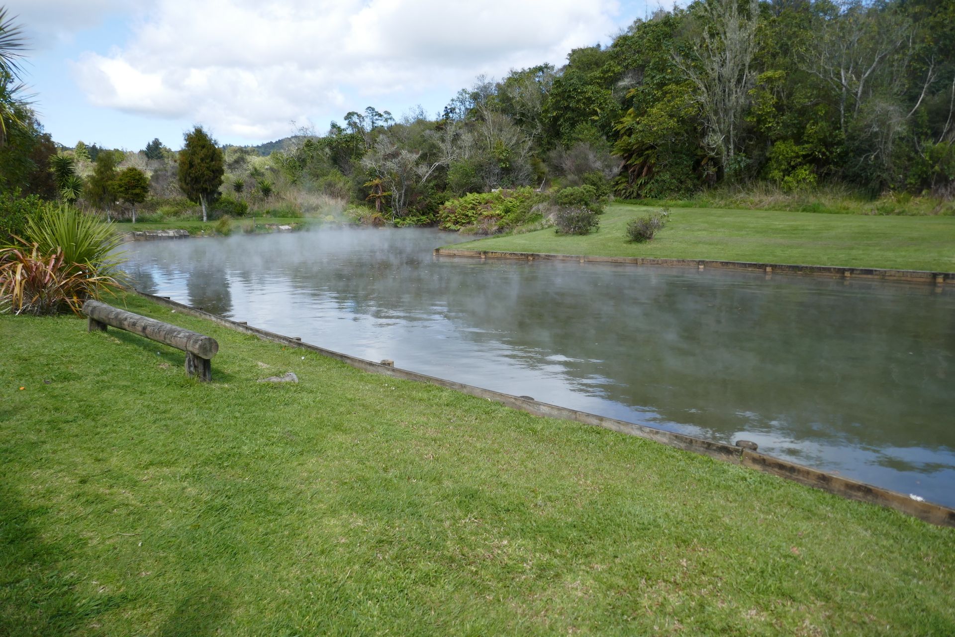
Then we arrived at the geothermal center of the North Island of New Zealand. Our first destination here were the Waitangi Soda Springs. This is a pond with two tributaries: one very hot, the other slightly cooler. The two streams mix in the pond and you can decide whether you want to be cooked or just sweat. In the end, our skin definitely smelled like iron. Therefore, the offer from the town Kawerau came just in time. Here is a free swimming pool with a sports pool, children's area, spa pools (38°C) and hot showers. The free campervan parking lot is right next door, so we swam laps in the sports pool in the evening, relaxed in the spa pool, and did the same thing again the next morning.
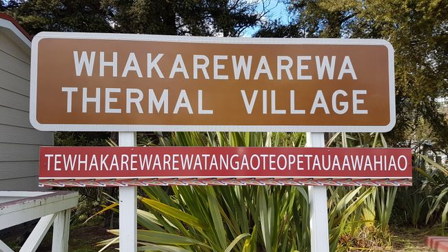
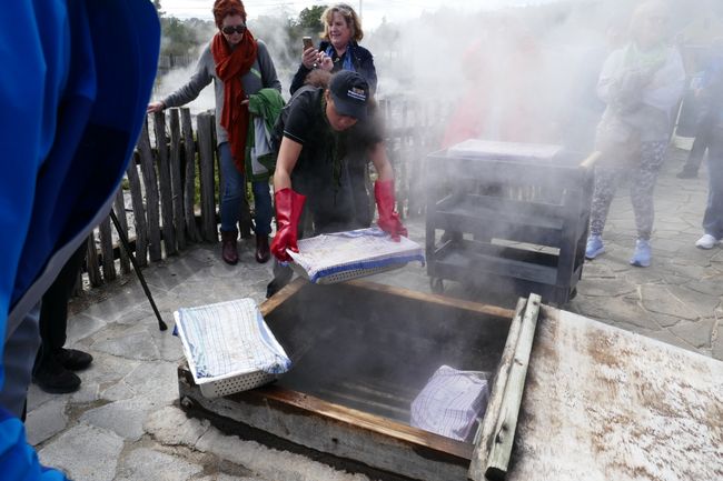
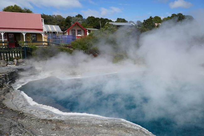
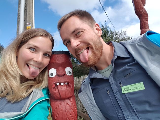
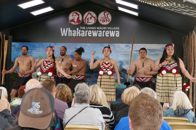
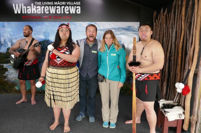
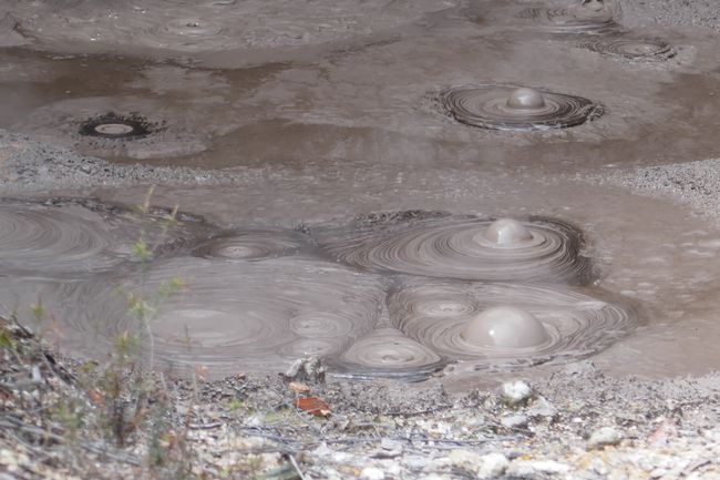
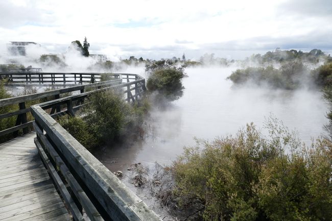
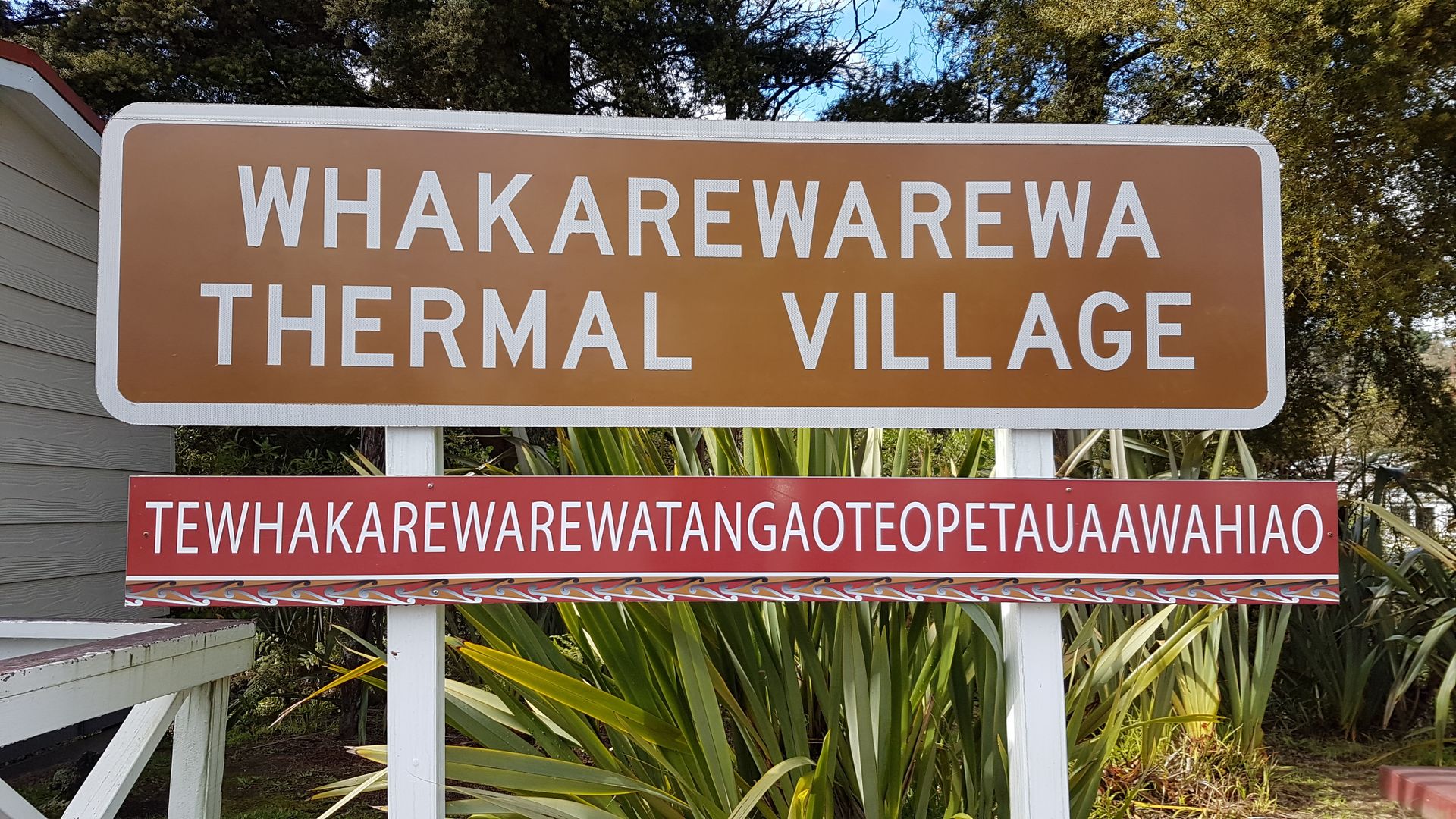
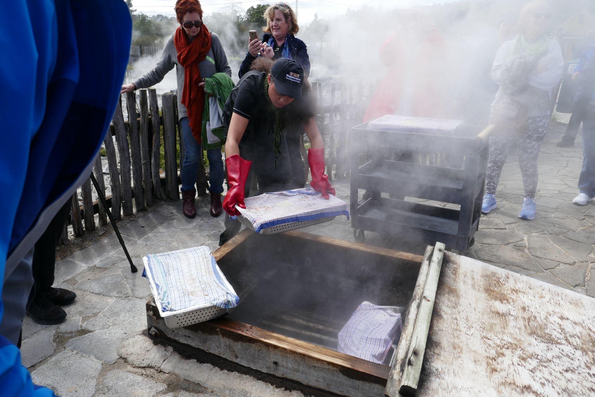
We then continued to the center of the geothermal area: Rotorua. Here I booked us into a 4-star hotel for two nights, as we had our first wedding anniversary to celebrate! The city park here consists of meadows, trees, steaming pools, and bubbling mud pools. The only downside to geothermal activity is its smell. It smells like rotten eggs in many places, even in the city (and the water discolors silver jewelry!). We visited the Maori village of Whakarewarewa here, although this is already the short name of the village. A village resident guided us around and showed us the ovens, cooking sites, cemeteries, and geysers of the village. The ovens are holes in the ground that are permeated by hot steam, and the cooking sites can be found in the pond, whose water on the surface is about 98°C hot. At a depth of just two meters, it is already 200°C here. This is possible because minerals bound in the water prevent it from boiling. An egg is quickly hard-boiled here. We also watched a Maori show, in which the villagers wore traditional costumes and performed the dances of their tribe. This was accompanied by a guitarist, which gave the whole thing a very pop character. Well, we weren't so enthusiastic about it. What is very spectacular, however, is the lake next to the village (which was not mentioned at all during the tour, we discovered it on the map). A jetty leads across it, allowing you to get very close to the toxic-looking bluish-green water, which sometimes drifts over the jetty in large clouds of steam. There were bubbles and steam everywhere. Not a place to go swimming! There are currently even air quality checks here, similar to those at Theodor-Heuss-Ring in Kiel, except that there are no diesel vehicles buzzing around here. The results so far indicate that the air in the village is better than in the neighboring city.
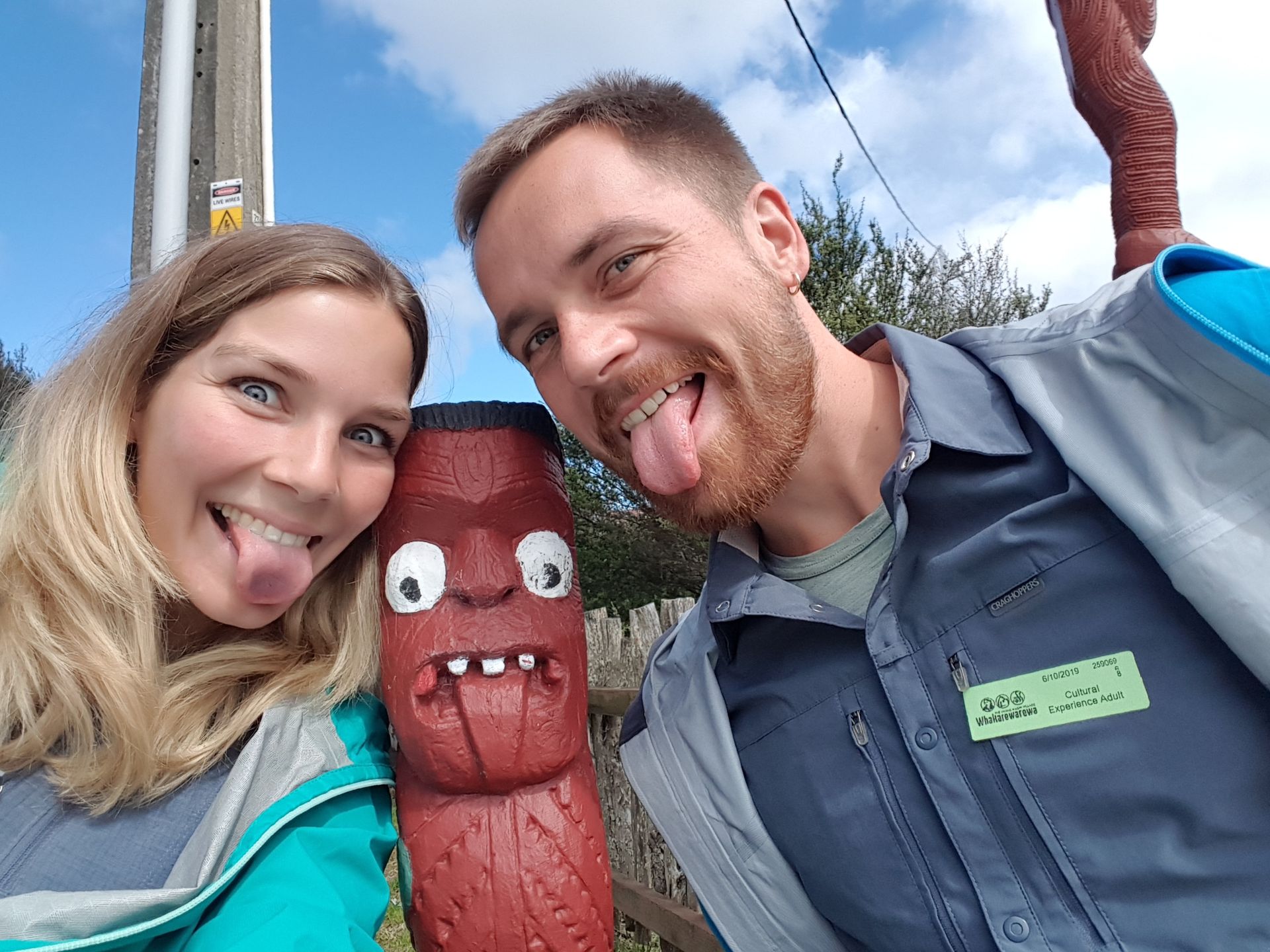
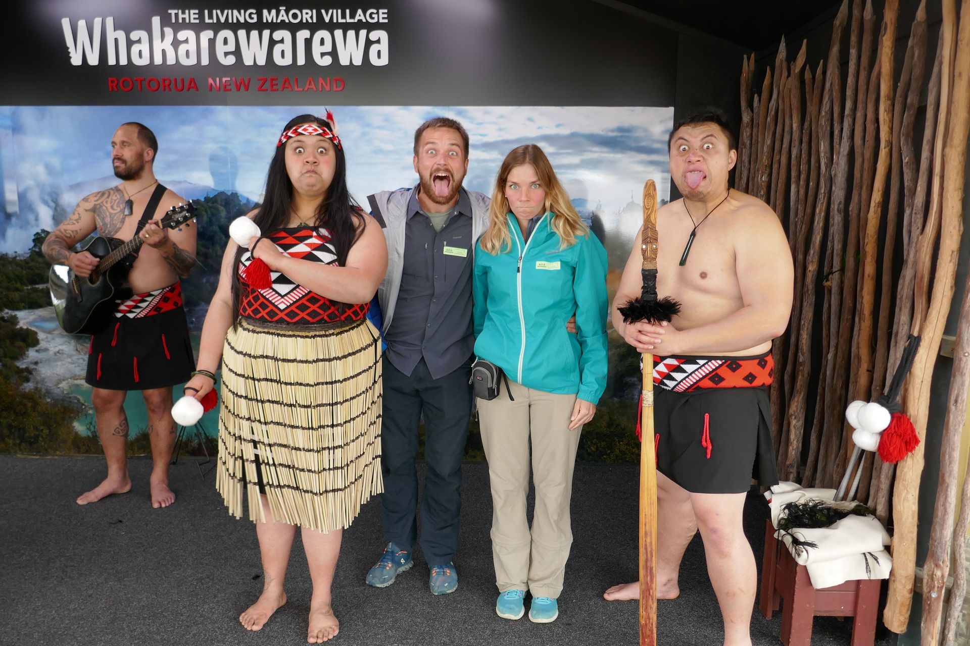
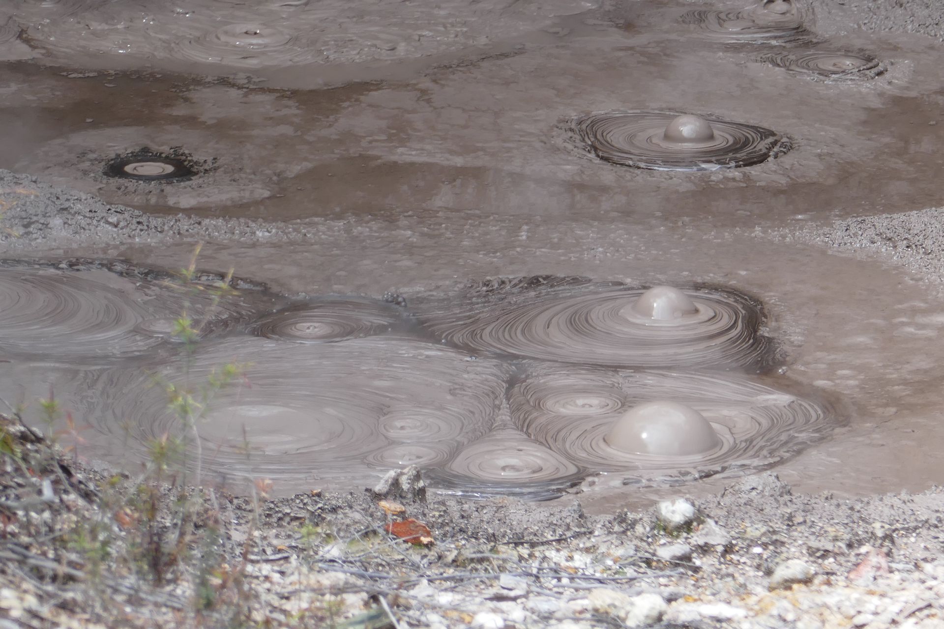
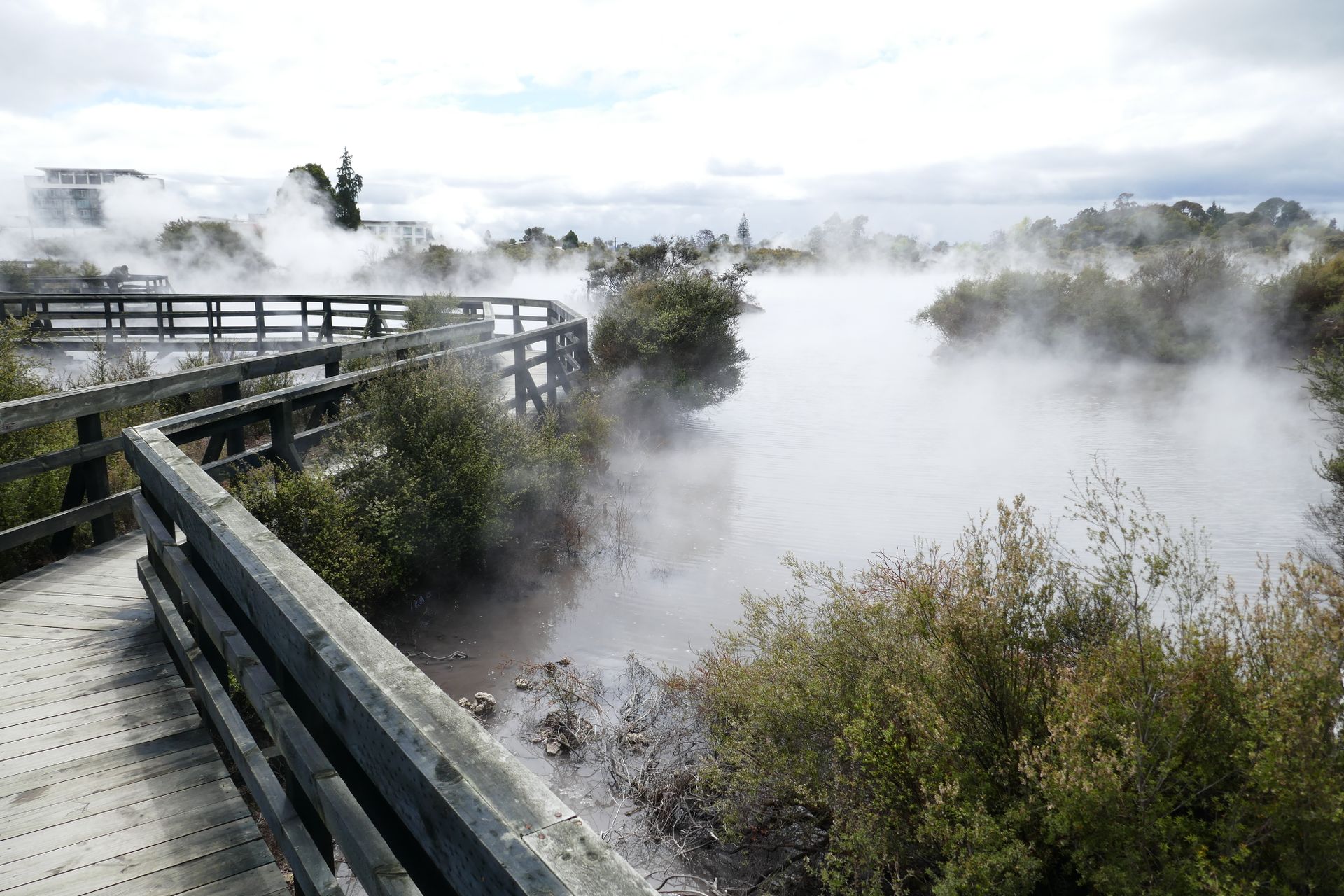
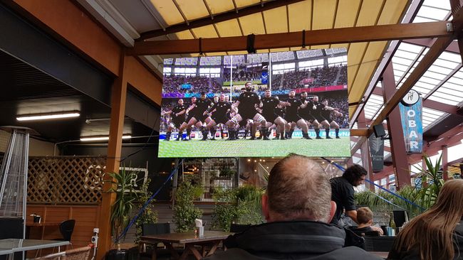
In the evening, we went to the restaurant where the biggest screen was set up, as it is currently the Rugby World Cup. What you probably don't notice in Germany is omnipresent here. Rugby is the national sport in New Zealand and the national team, the All Blacks, are used for almost every advertising campaign. That evening, New Zealand played against Namibia and we wanted to mix with the locals. Naturally, the All Blacks won, quite convincingly, and we had a lot of fun. We never could have imagined spending our first wedding anniversary like this.

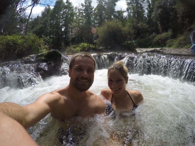
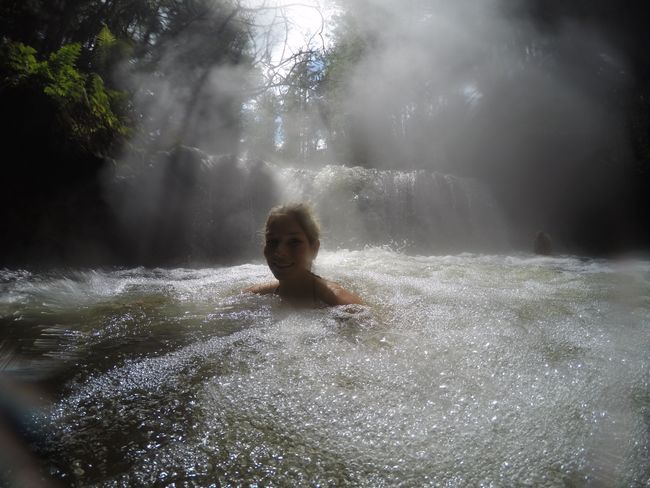
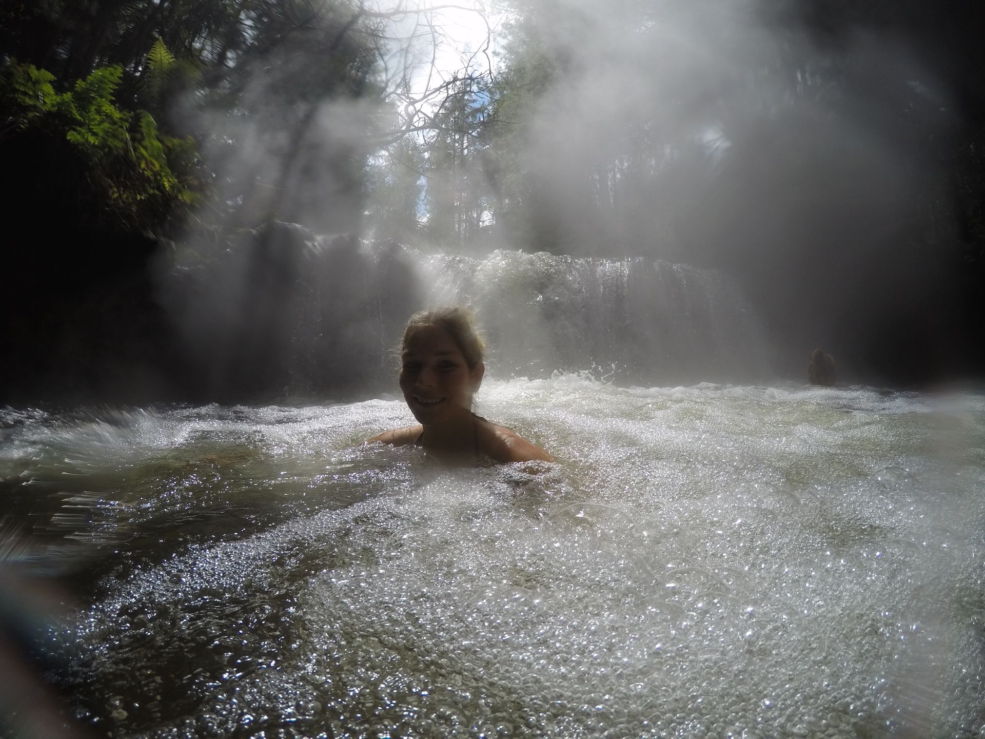
After checking out of the hotel, we went straight to the next hot spring. This time to a warm river, the Kerosene Creek. Here you can sit under the waterfall in the river and relax.

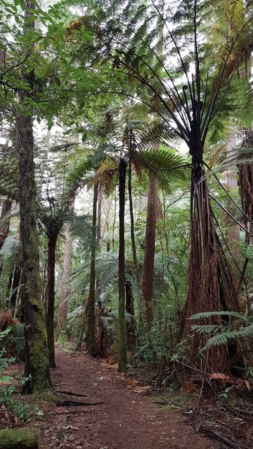
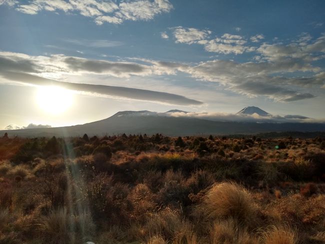
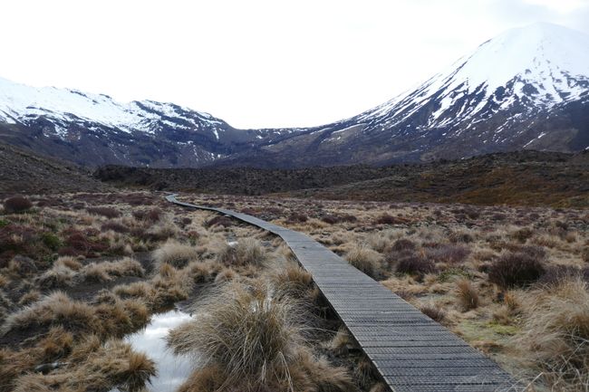
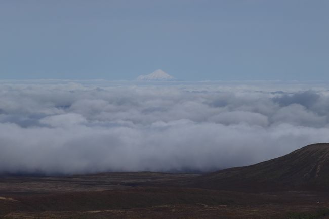
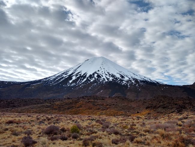
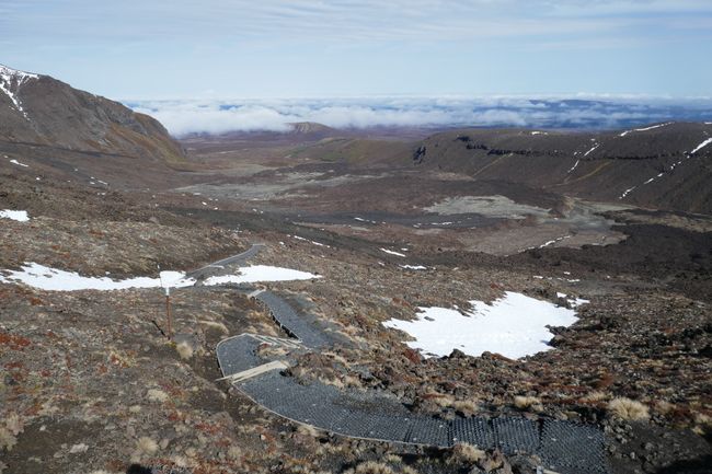
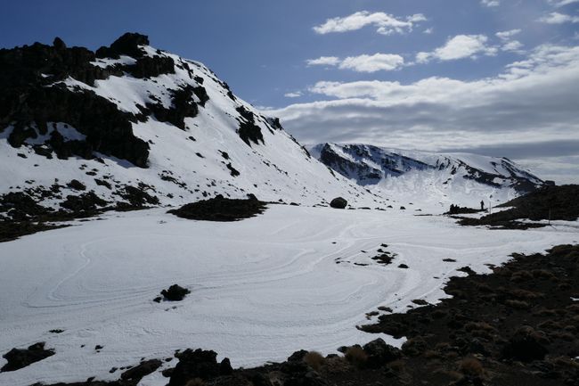
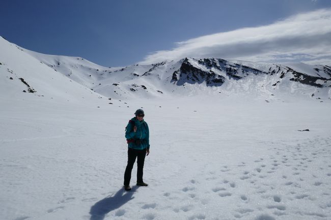
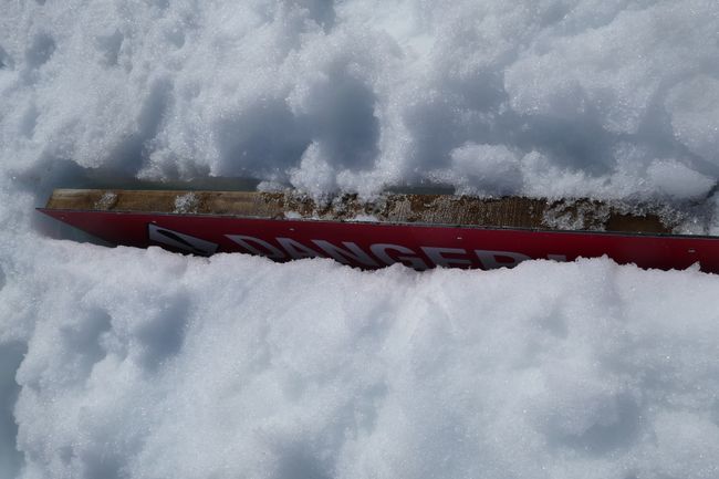
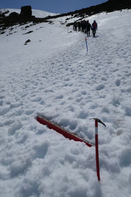
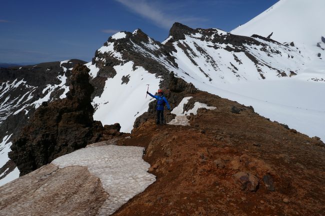
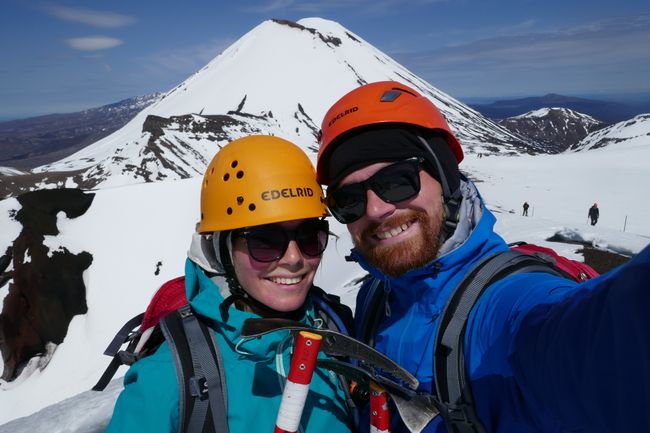
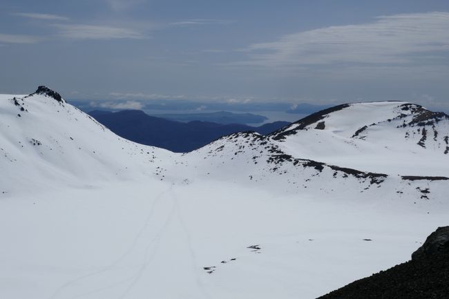
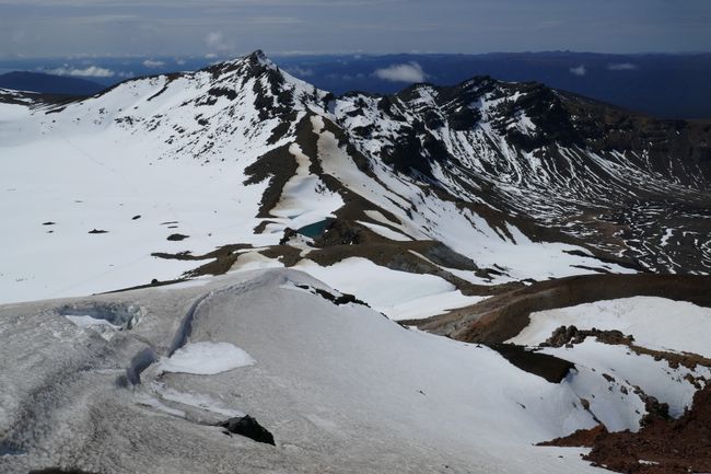
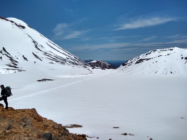
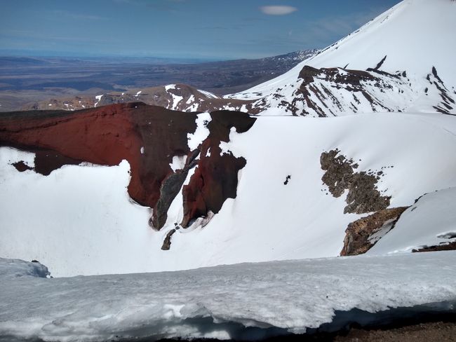
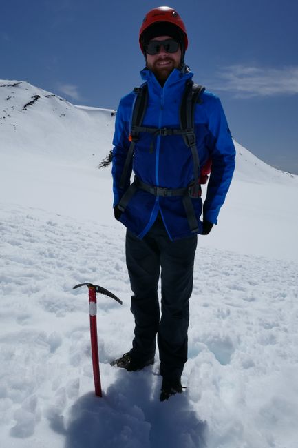
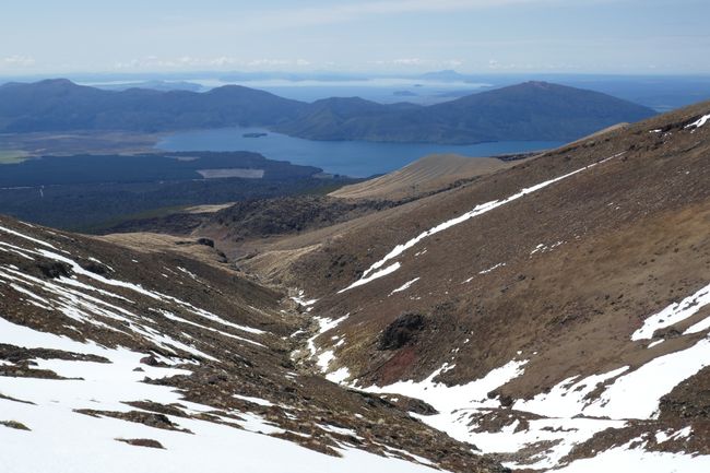
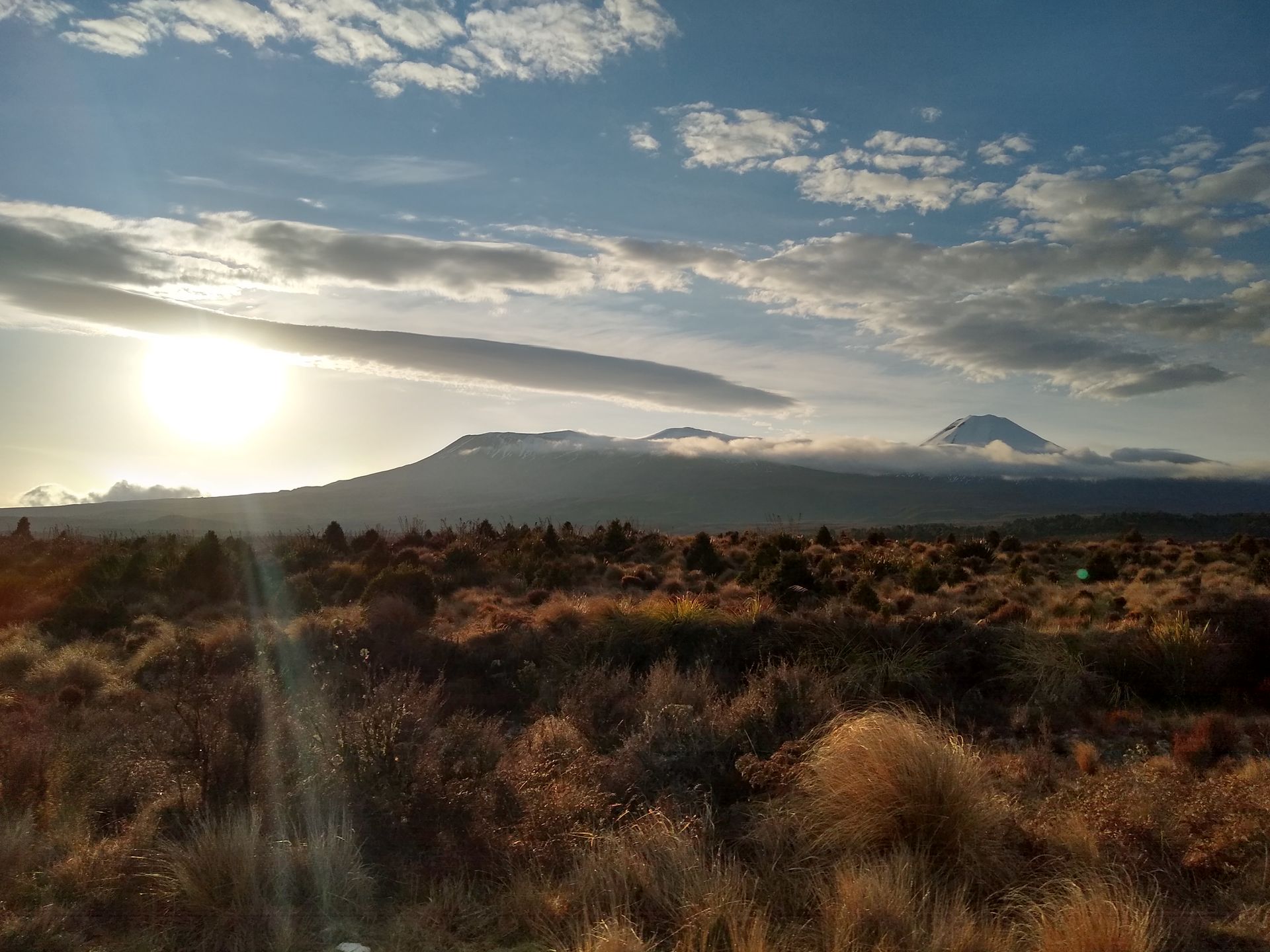
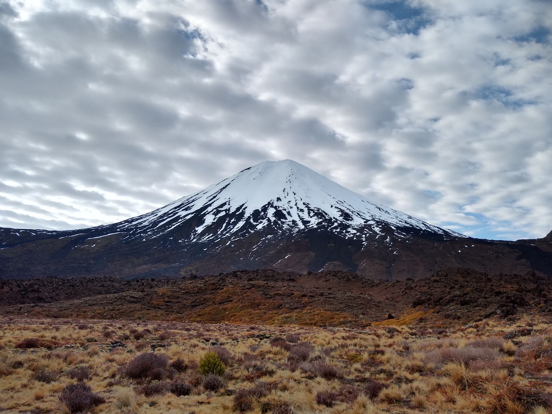
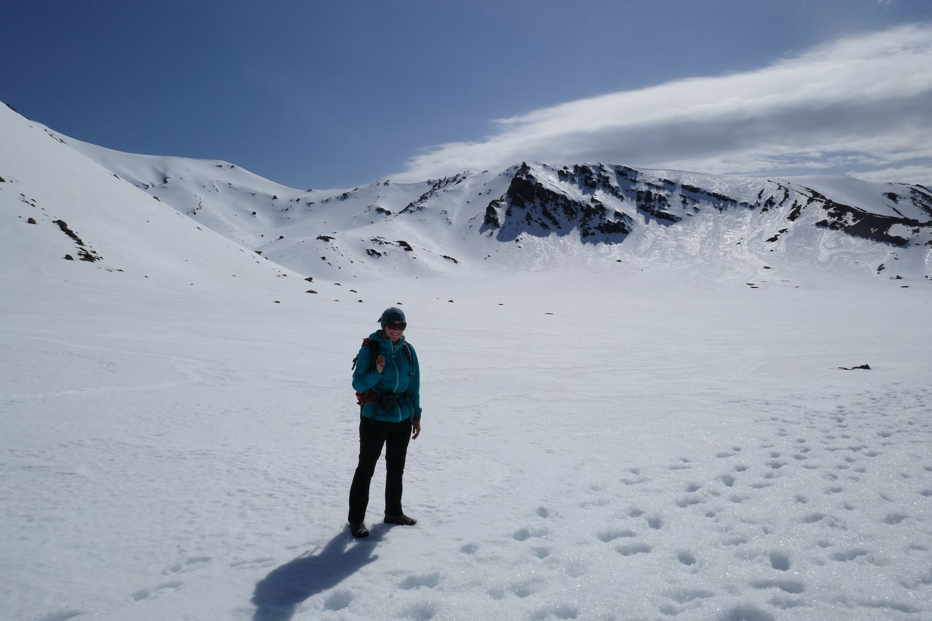
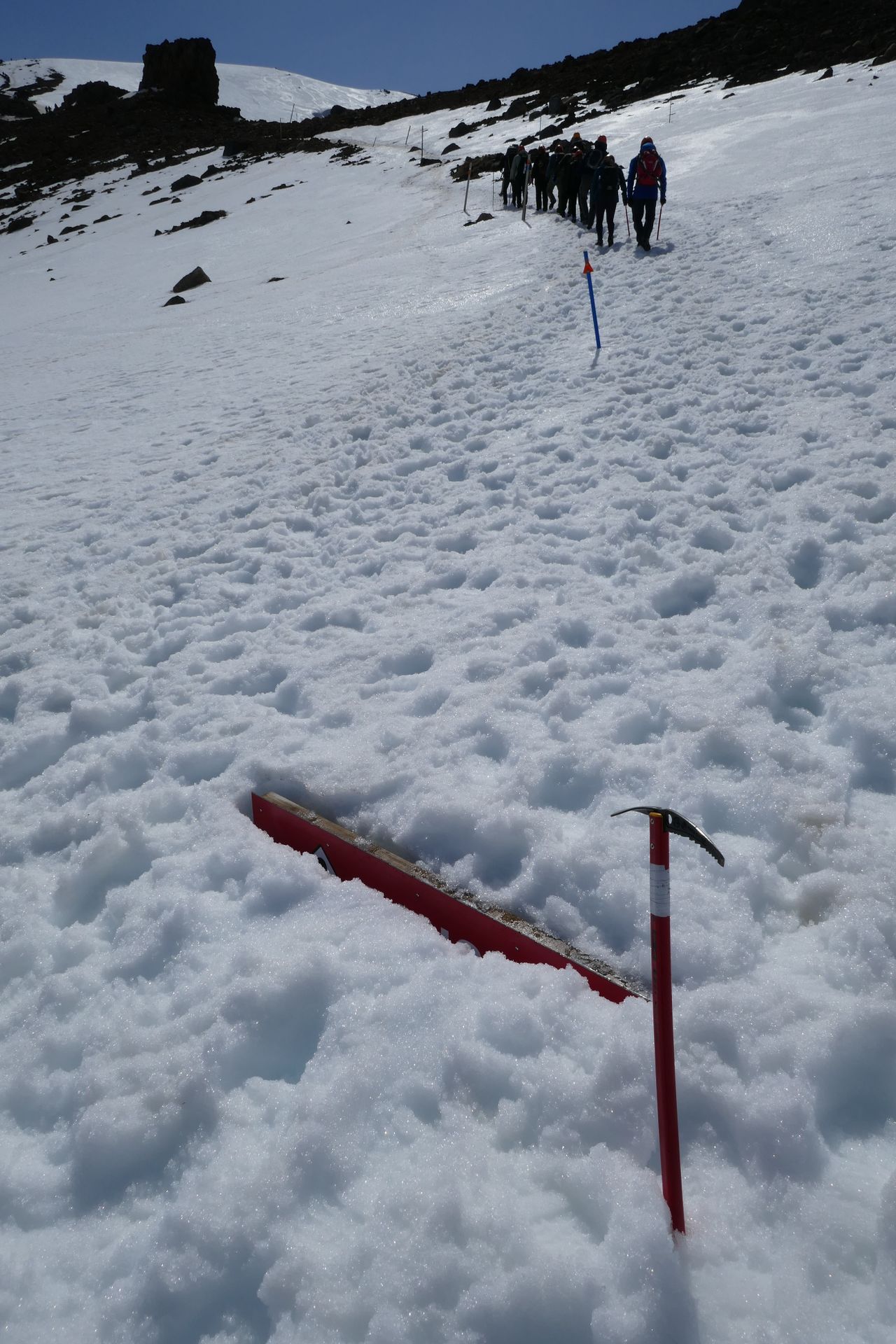
But enough with relaxing. We continued south and came across the Tongariro National Park. A few volcanoes have created an alpine terrain here, which you can cross on a long hike. Since it is still the winter half-year there, the weather is unpredictable, the snow is significantly more than ankle-deep, and our equipment is therefore not sufficient. So we booked a guided tour. We were picked up early in the morning and equipped with helmets, crampons, and ice axes at the starting point. Then our 17-person group (+two guides) set off. Initially over wooden planks and easy terrain. Later, it got steeper uphill, and we quickly had to take off a few layers of our clothing. It was warmer than we thought. The weather was really on our side that day. There was hardly a cloud in the sky and the sun was shining down on us. One of the guides had been here the day before, and his jacket still wasn't completely dry from the previous day's rain. But we are also lucky! (Note: Our summit climbs often end up in washing machines). After the first ascent, we stood in front of a large snowfield. Behind us in the distance, we could see Mt. Taranaki, which stands alone on New Zealand's west coast. We put on sunglasses and caps and started crossing the snowfield. After a while, we climbed uphill to the summit of the red crater. The ice axe came in handy for the ascent. You hold it in your hand, which lies on the ascending flank of the mountain, ram it into the snow, and don't let go. That's how we reached the summit of the crater, and the view was breathtaking. We could see the ocean and Mt. Taranaki, the surrounding mountains and valleys, lakes, the snowfields around us, and of course, the red color of the red crater. Up here, we had our lunch break, and the volcano helped us get cozy: It has heated seats. No joke.
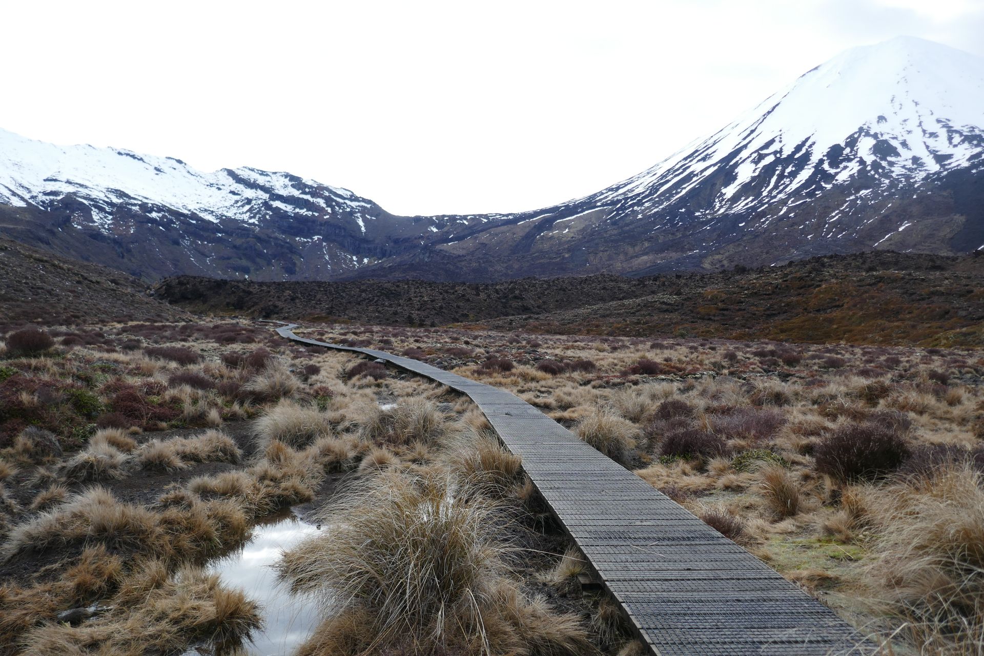
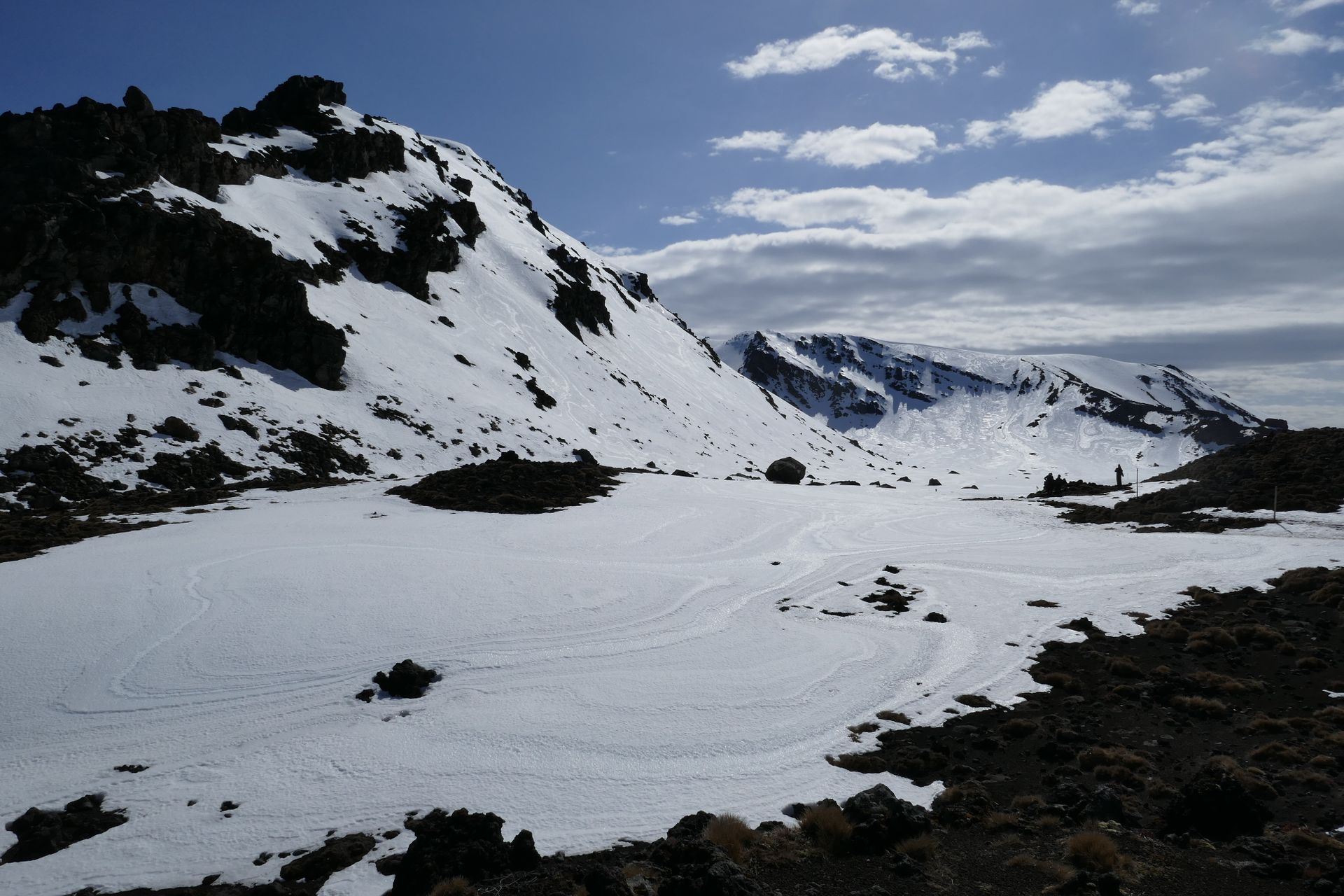
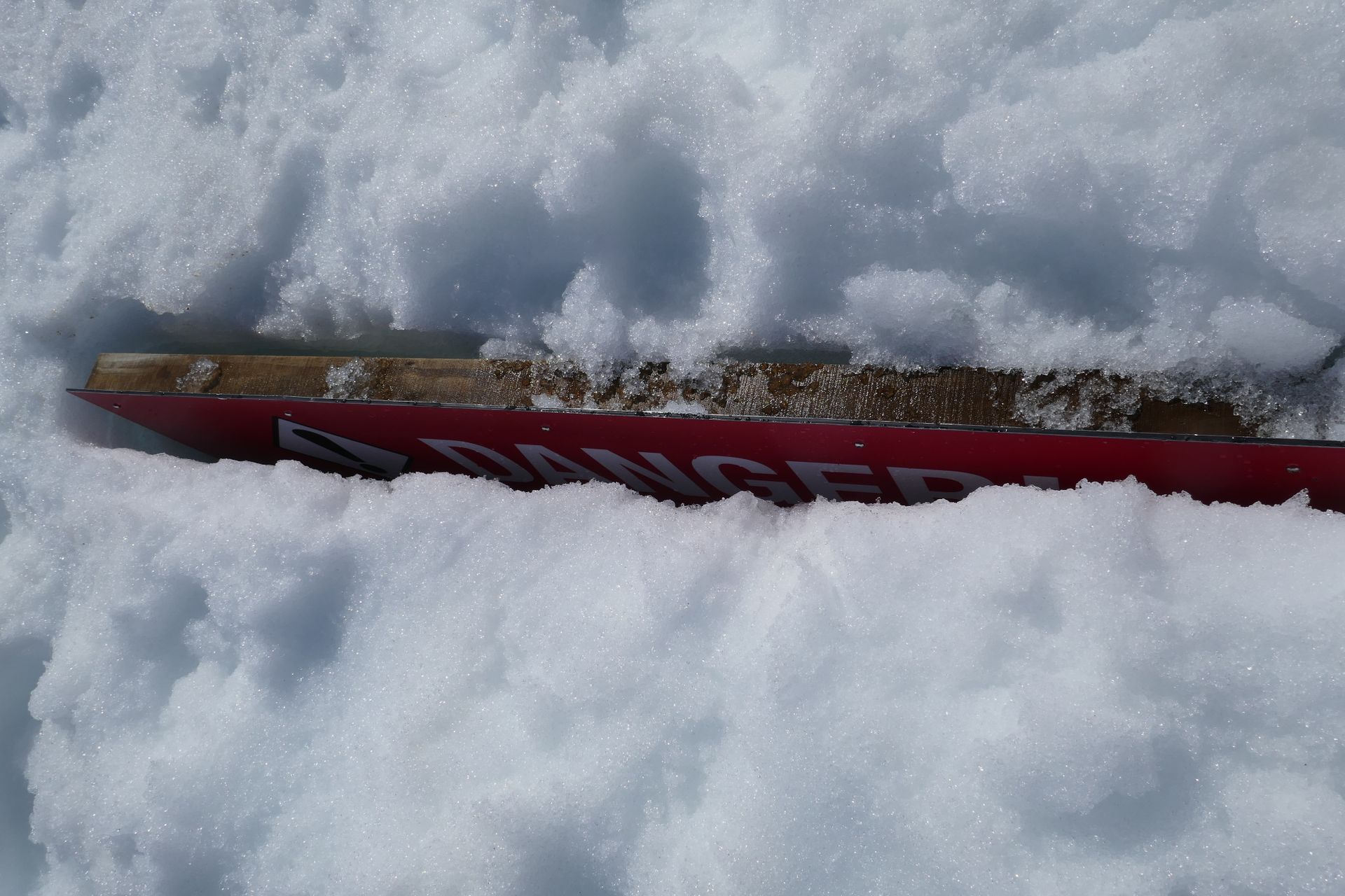
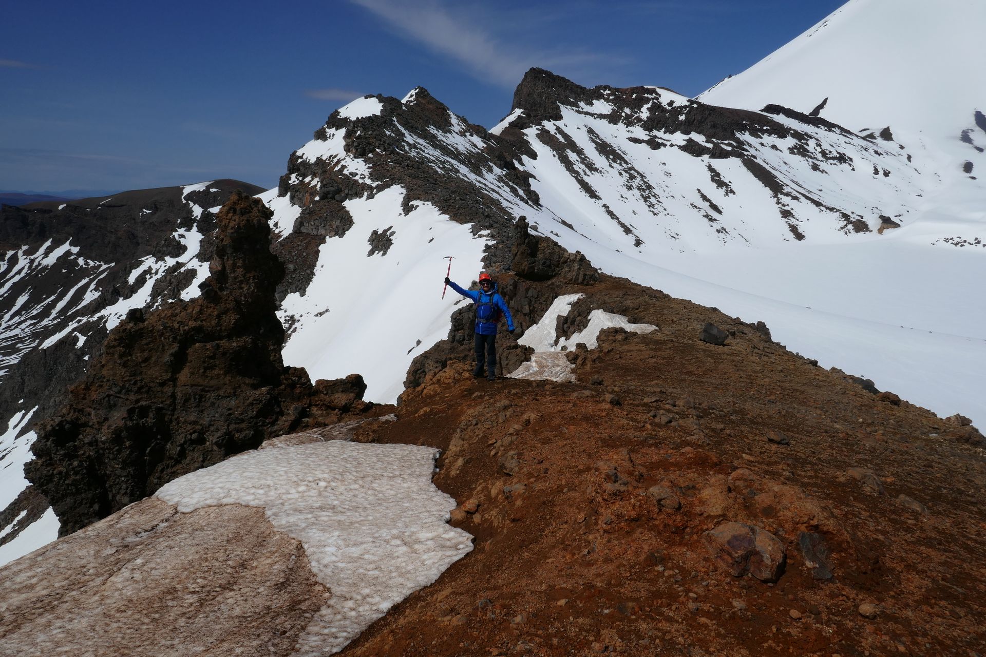
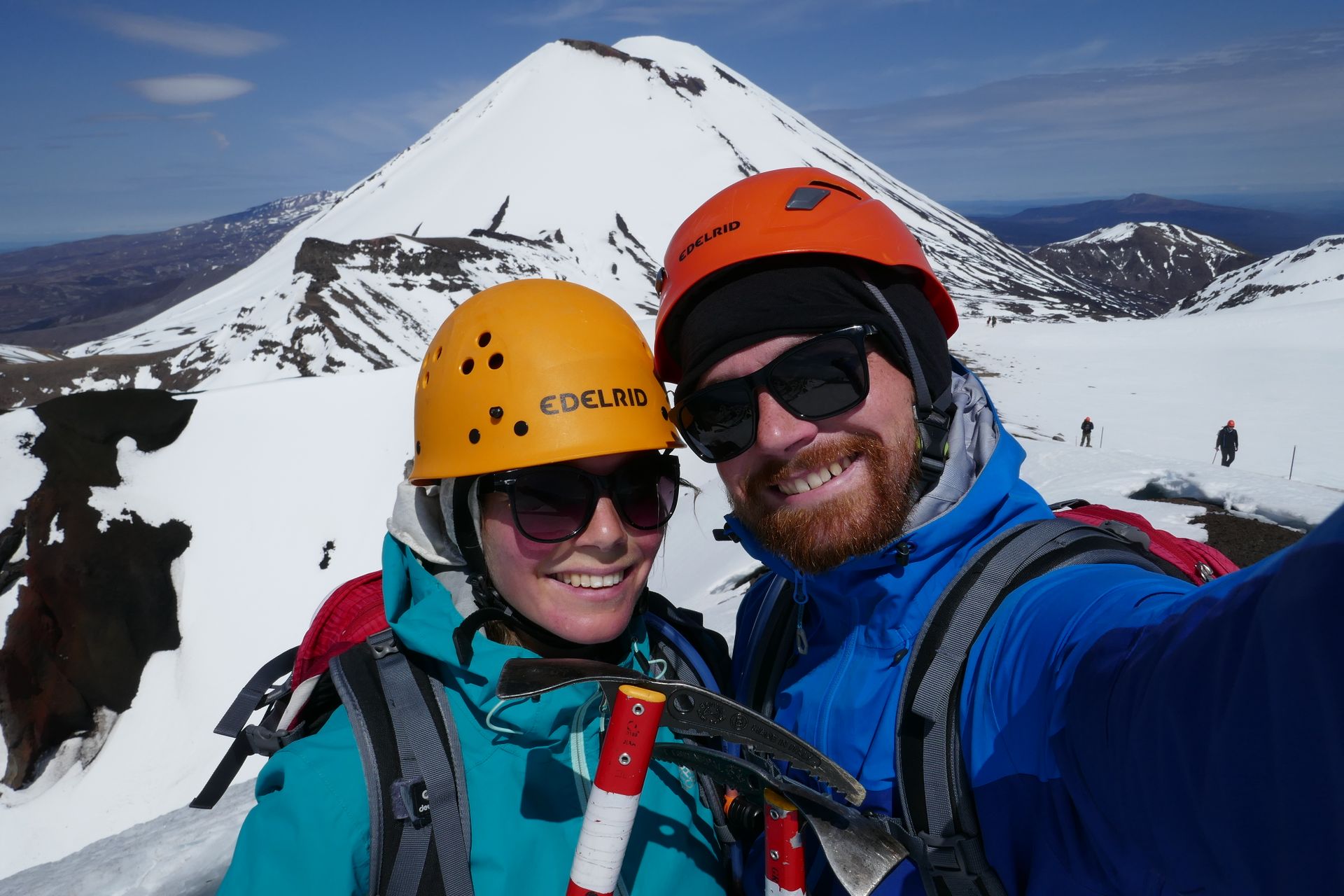
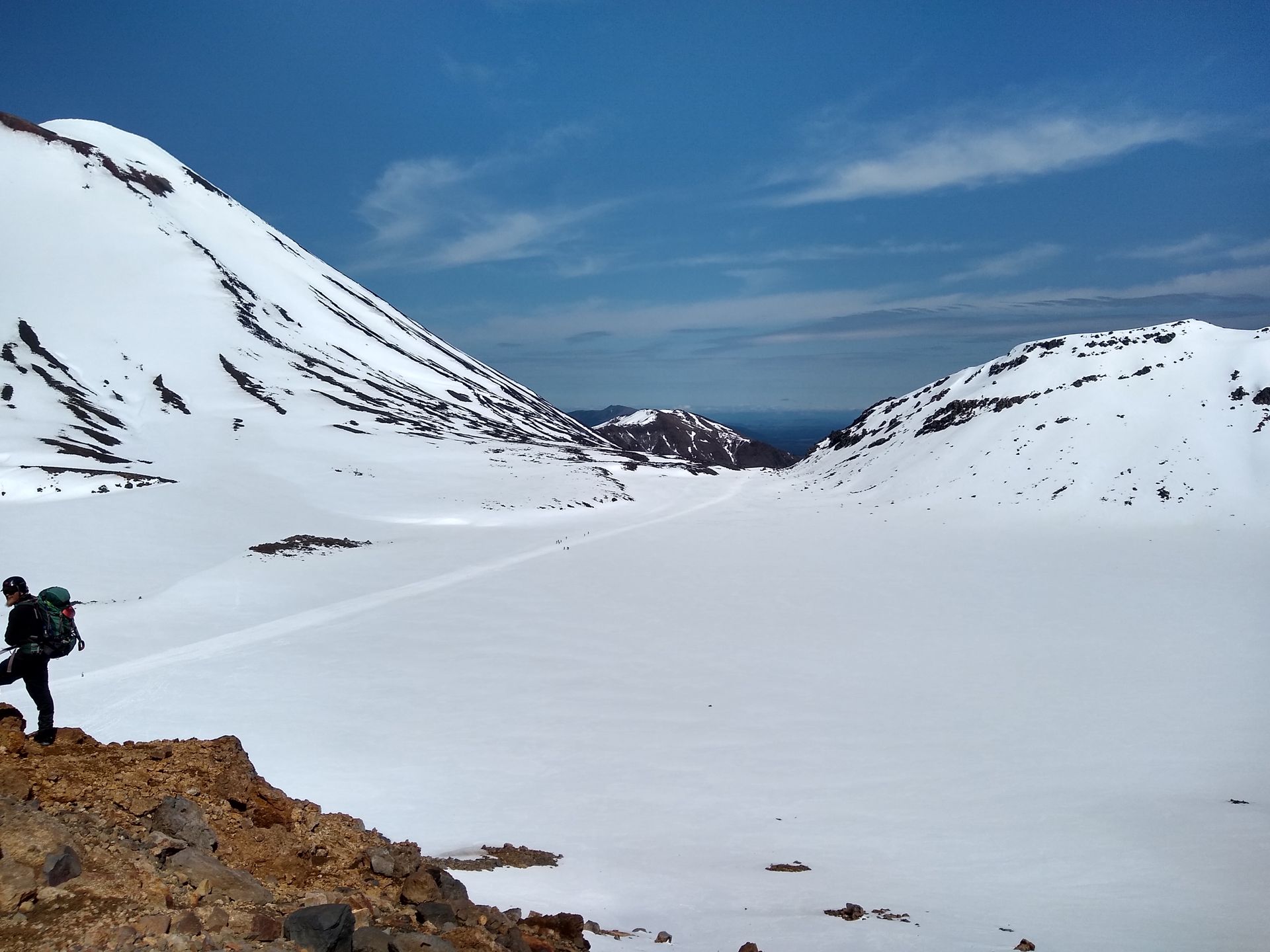
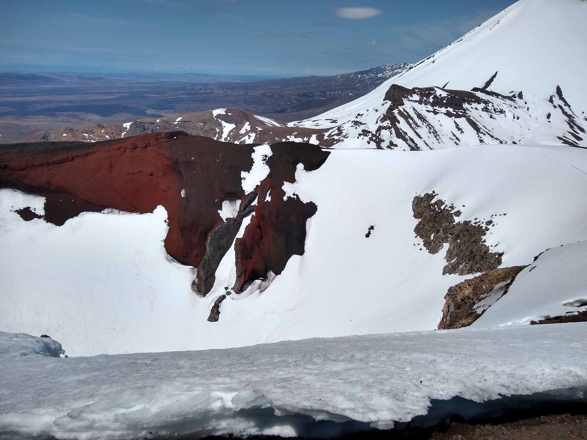
We descended from the summit sliding on our bottoms for simplicity's sake. We crossed another snowfield and then had to walk downhill for a long time. We even went through the forest for a while, until we reached the endpoint. After a length of 19.9 km, an elevation gain of 820 m and a descent of 1170 m, we reached our destination! We were picked up here, driven back to the camp, and then enjoyed a delicious pizza.
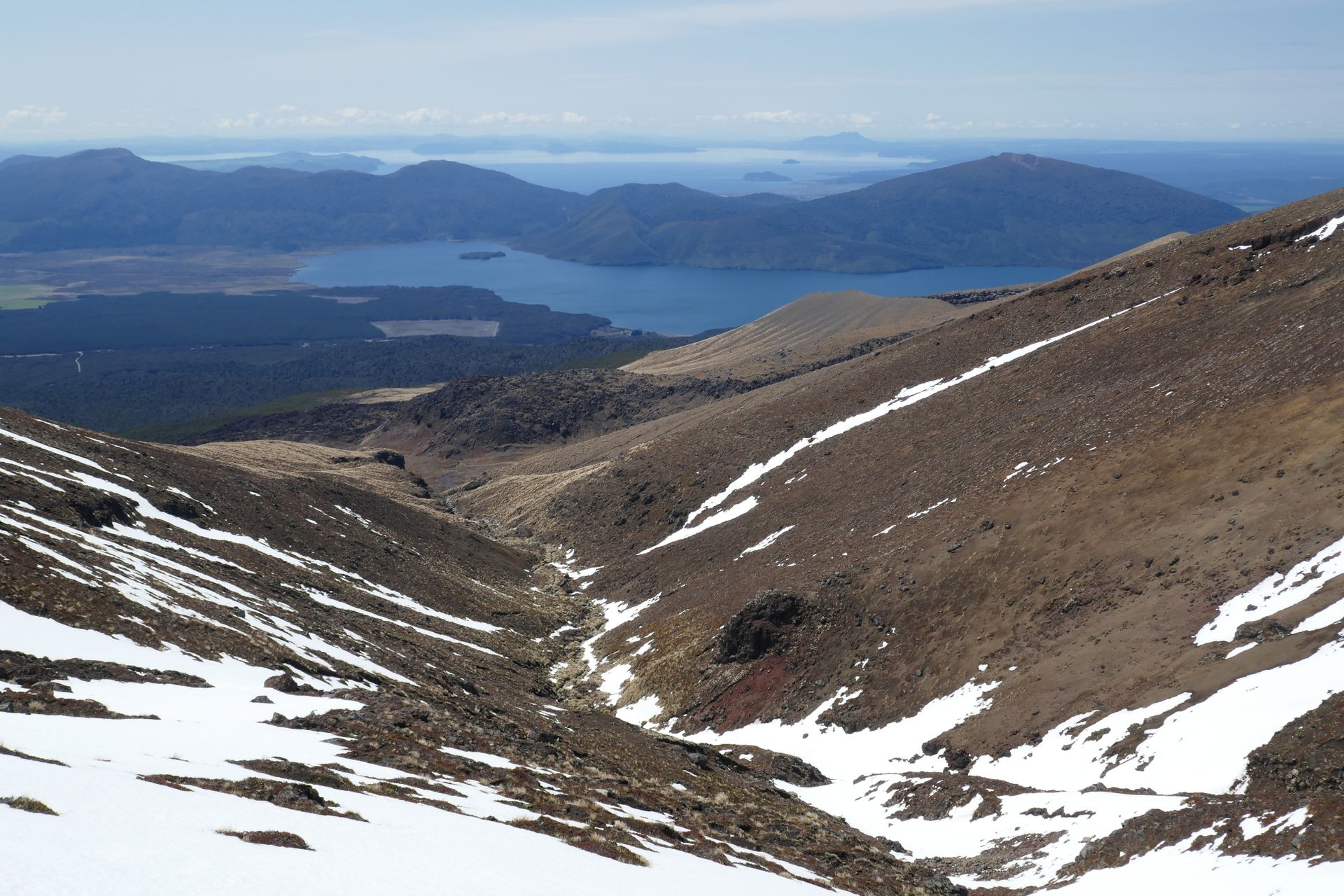
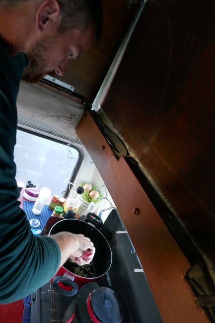
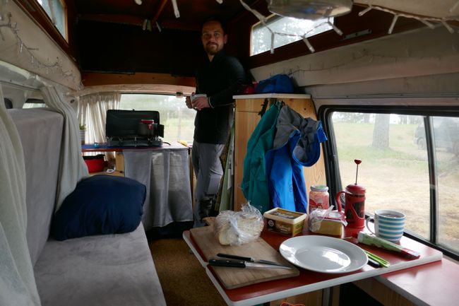
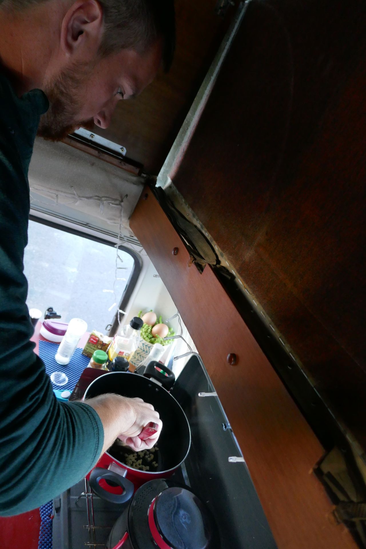
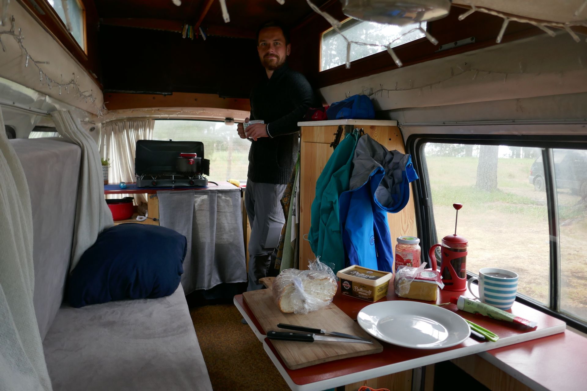
The next two days, we drove a bit more kilometers per day. Jimbo is still running great. No major flaws, most things work (the heater doesn't work at all), and our daily routine in the campervan is already well established. Wake up, turn over, get up, convert the bed to the couch, make coffee, have breakfast, and off to new adventures.
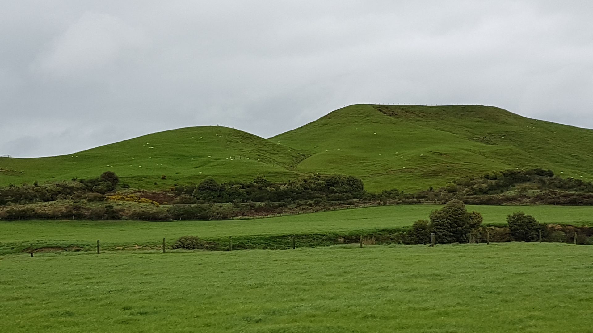
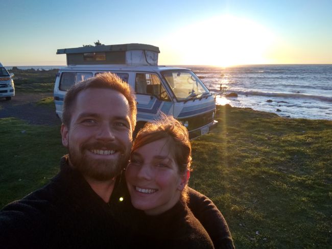
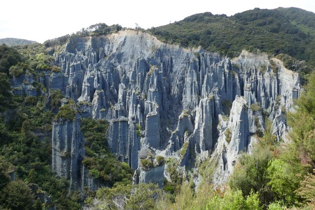
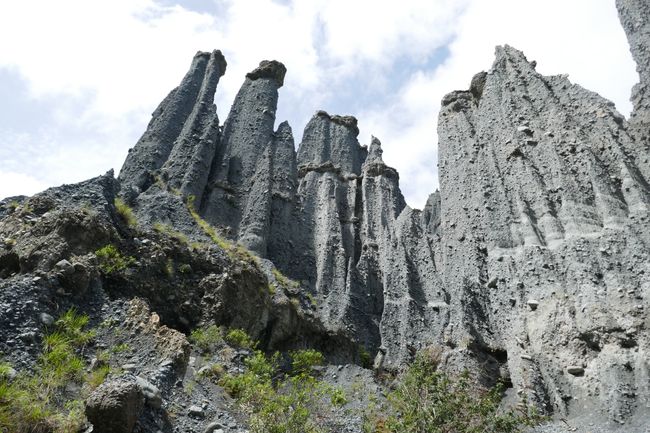
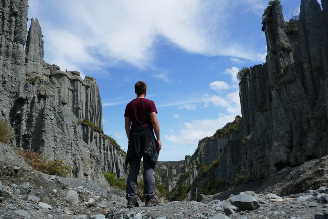
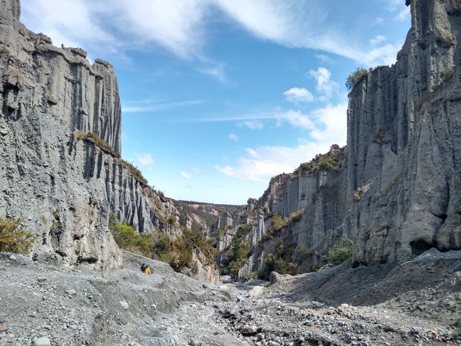
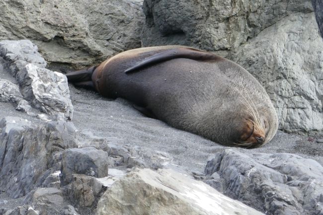
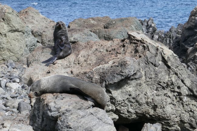
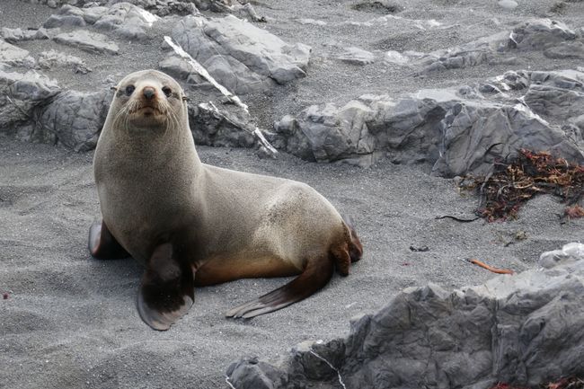
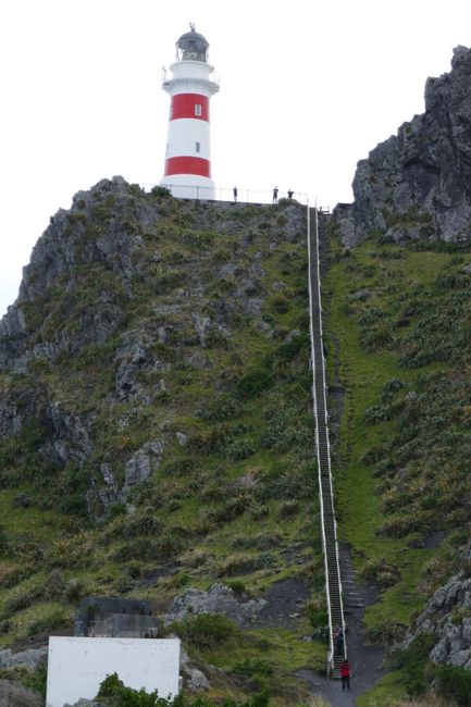
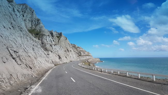
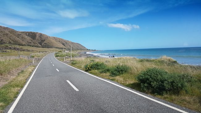
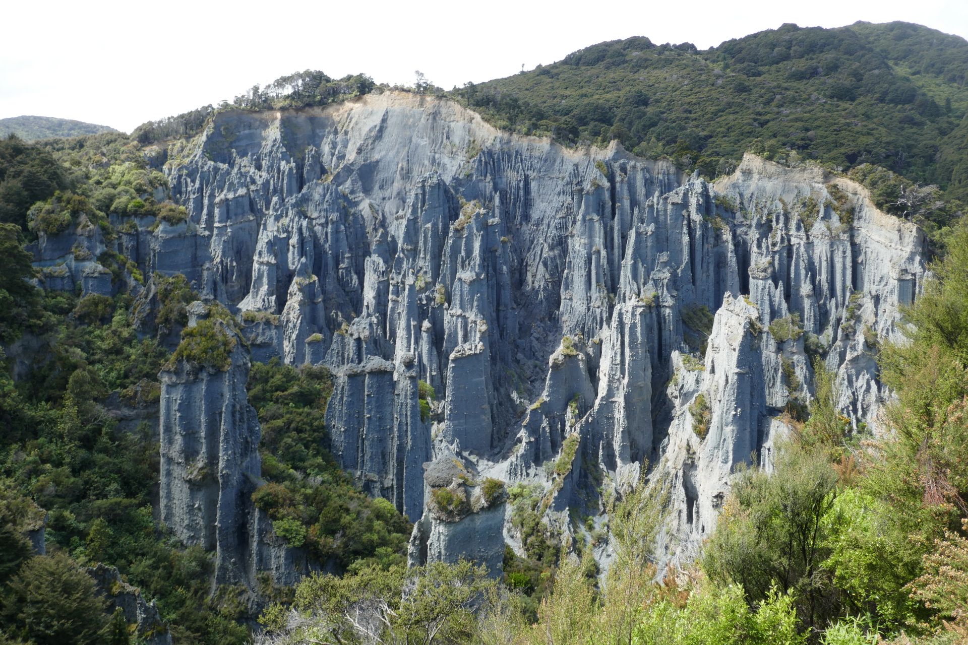
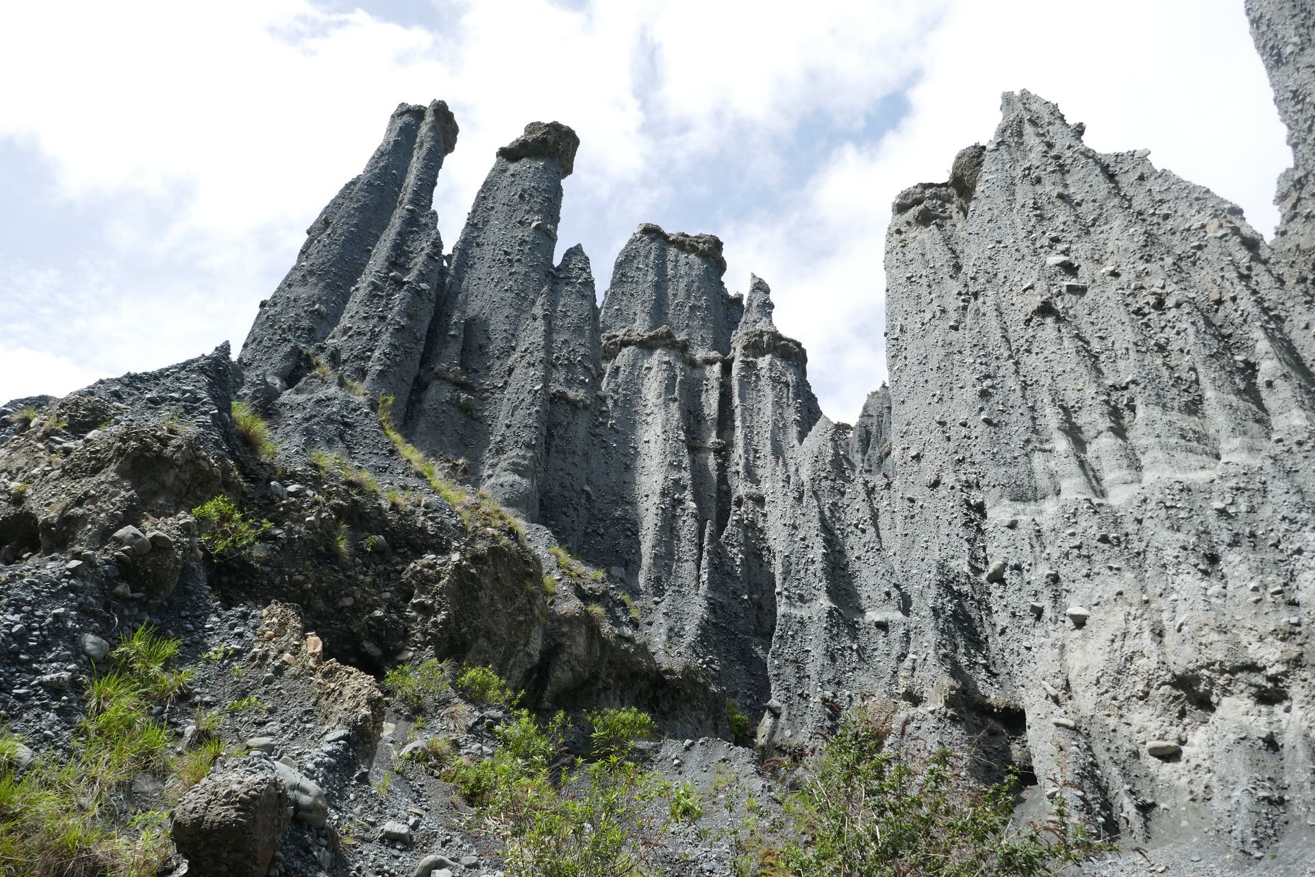
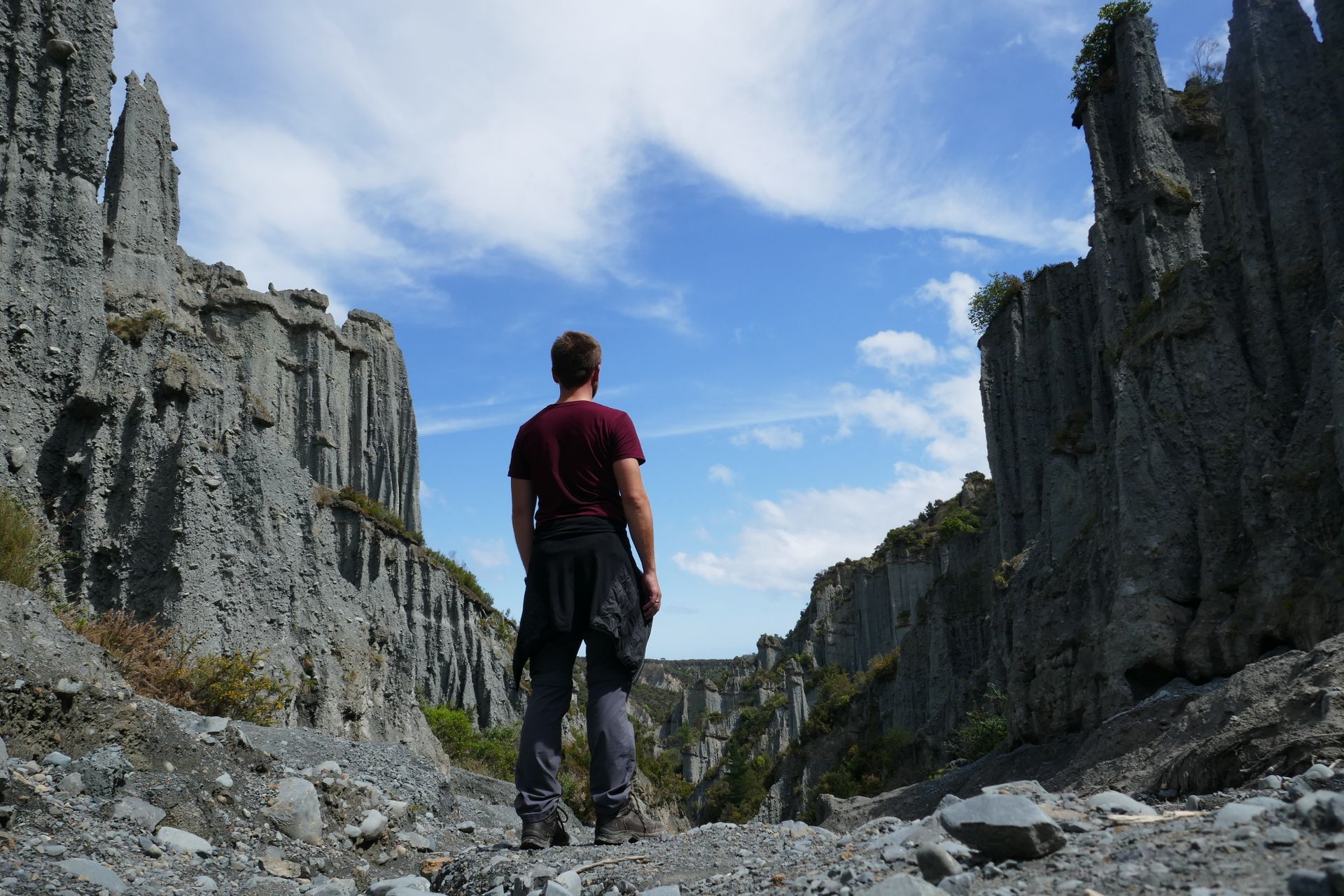
We drove to Cape Palliser, in the south of the North Island, and visited a filming location from Lord of the Rings on the way there (Dimholt Road, where Aragorn, Legolas, and Gimli ride to meet the Army of the Dead. Or something like that. In reality, this place is called Putangirua Pinnacles). Right at Cape Palliser, there is a seal colony in addition to the lighthouse. The animals laze on the rocks in the surf and blend in well as stones. We almost drove past them. The animals don't smell as much in Friedrichskoog. We climbed the 252 steps up to the lighthouse and down again, took more seal photos, and once again had a free parking spot right by the ocean, including a sunset.


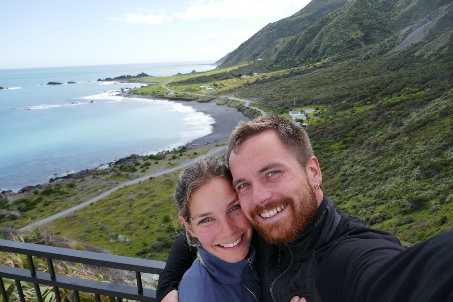
We spent one more night in the southern part of Wellington (the capital itself didn't offer much sightseeing), and then our trip on the North Island ended. We took the ferry and crossed over to the South Island, a three-hour journey, to see what it's like there.
Subscribe to Newsletter
Freagairt (2)
Ivonne
Einfach nur toll! So viele schöne Bilder! Die Südinsel wird euch sehr gefallen! Alex ist neidisch! 😉 (Ich auch - jedes Mal auf's Neue!)Hagen
Die Tour sieht sehr schön aus und etwas relaxen in einer heißen Quelle würde ich auch gerne. Als Ausgleich bin ich mit Benni im Fitnessstudio und geh in die Sauna ;D. Ps. euer Elfarmige hat 12 Arme. Vielleicht solltet Ihr es Ihm mitteilen das dies gegen die Regeln des Meeres verstößt!
Aithisgean siubhail Na Seulan Nuadh
