

Fjordlands - Wanaka
Argitaratu: 15.02.2024


Harpidetu Buletinera
After work means before traveling...not quite, first we had a farewell barbecue with our teams and there was an end-of-season party from the company. So we stayed in Cromwell for another 3 days, but then we actually hit the road again in our camper. Traveling properly for the first time since the beginning of December. The goal has been clear for a long time: Milford Sound!
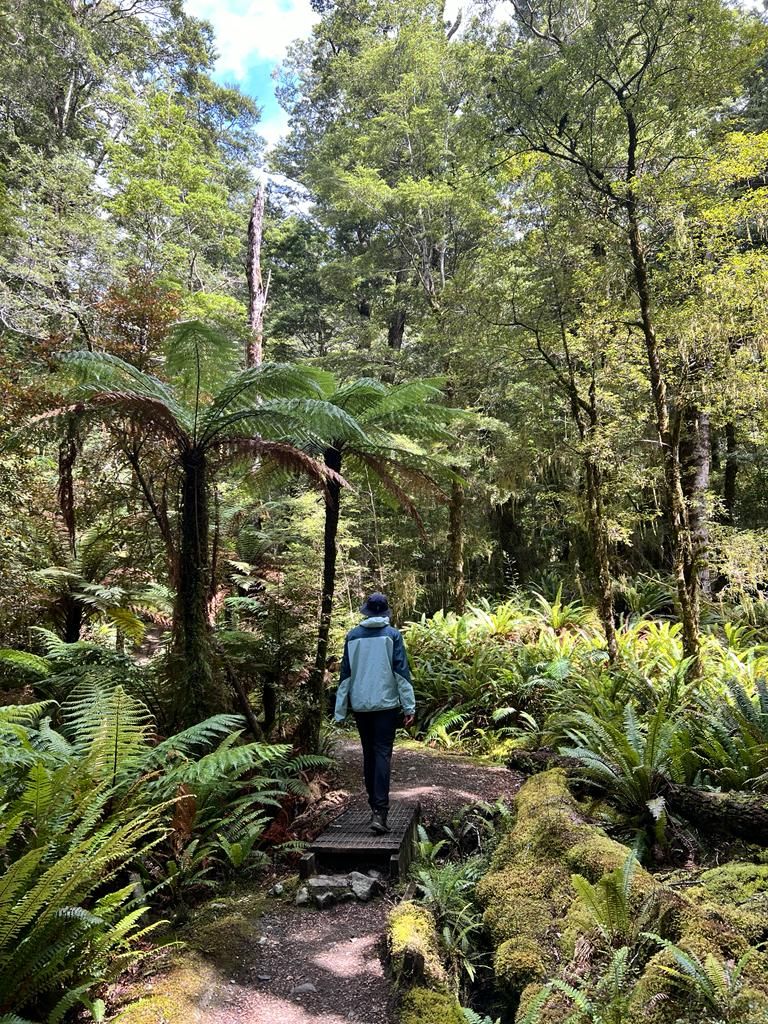
If you ask people in NZ (whether locals or travelers) what the most beautiful place in NZ is, almost everyone will say Milford Sound. Milford Sound is located in the Fjordlands and is a fjord. To get there you first have to drive around the southern end of the Sothern Alps, as there is no road through/over here. From Te Anau, the last and what feels like the only major town in the Fiordlands, an approximately 100 km long road leads to Milford Sound. You won't find towns, supermarkets, cell phone reception or gas stations on the street. The only thing you find here is a lot of rainforest, a lot of sandflies and some campsites. We spent the first night at one of these campsites.
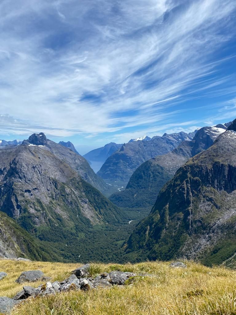
The next day we went to just before Milford Sound in the best weather. There is a quite beautiful but also quite demanding hike there. This leads to a ridge (Getrude Saddle) from where you can see Milford Sound from above. After the hike there was a short swim in the ice-cold stream and then we were forced to go to Milford. Forced, because we actually didn't want to go to Milford until the next day as we booked a boat trip for the day, but the only gas station is in Milford and we probably wouldn't have made it back to a campsite and then back to Milford with our tank. Well then at least we had the opportunity to see Milford. You drive through a long tunnel through a mountain range and then a road winds 10 km down to the bay. Apart from a few restaurants, hotels and a gas station, there is nothing here. The whole place is designed solely for tourism and no locals live here. After refueling, we drove 30 minutes back to the next campsite.
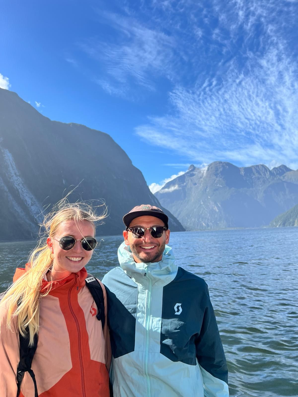
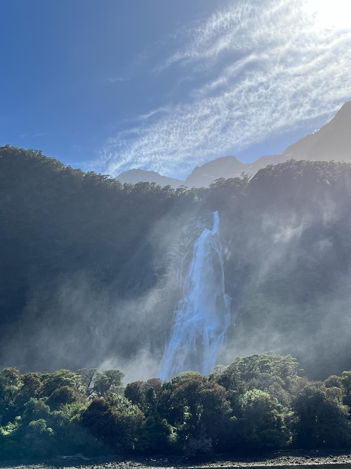
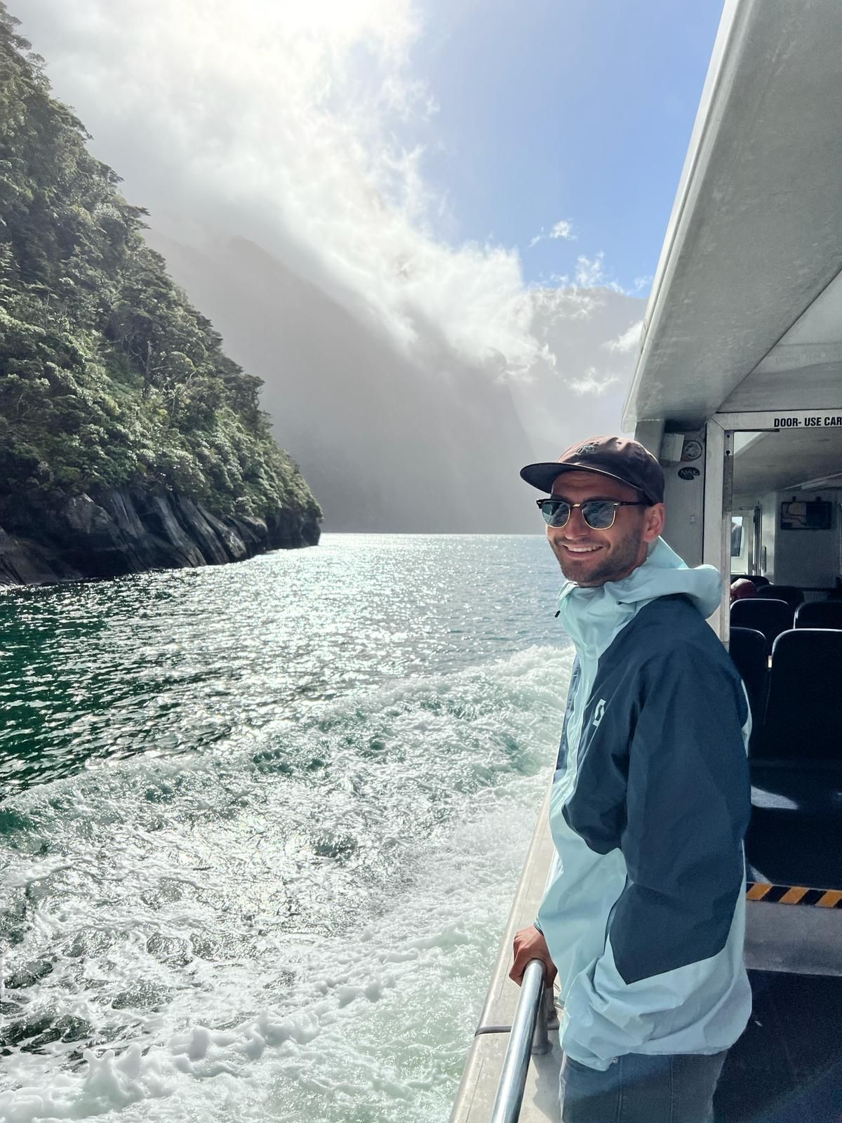
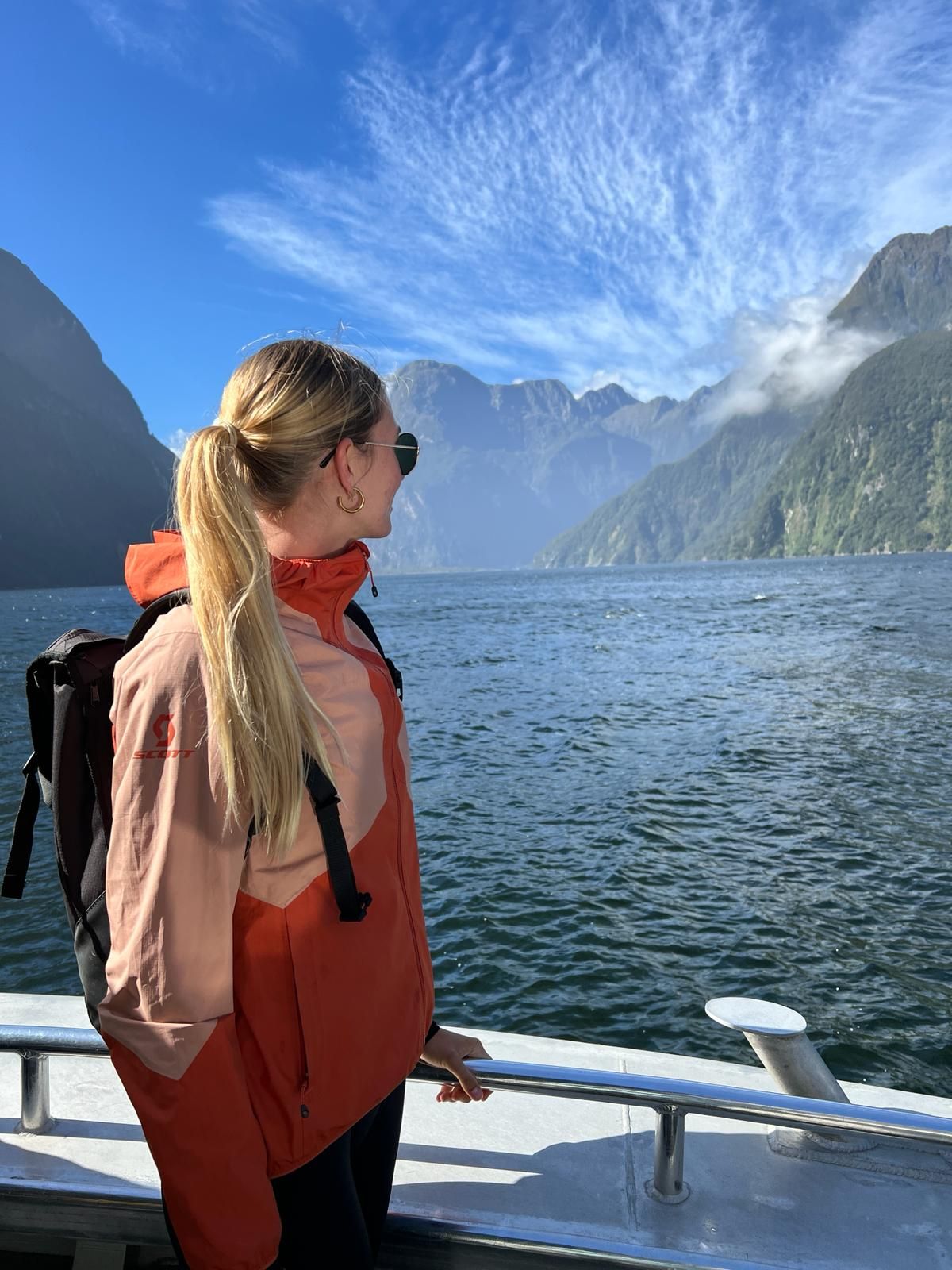
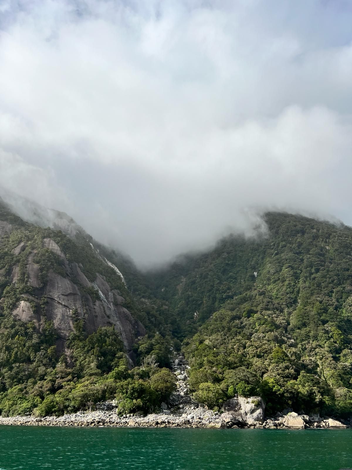
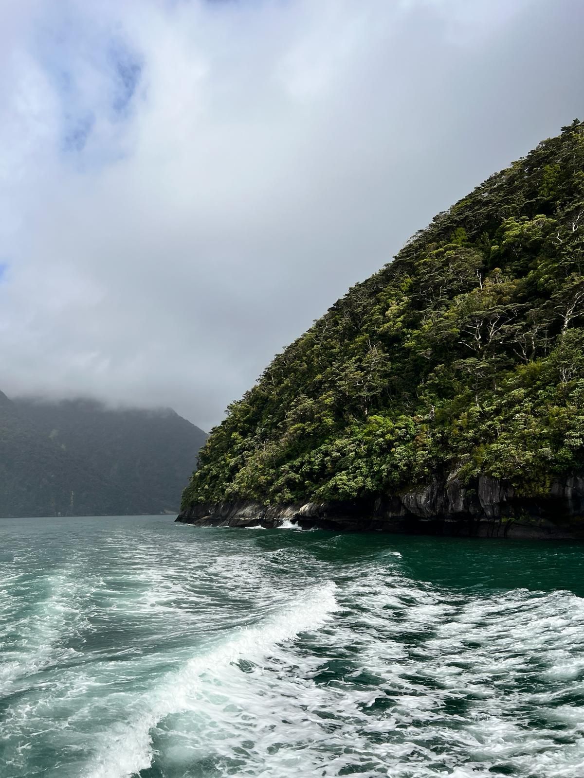
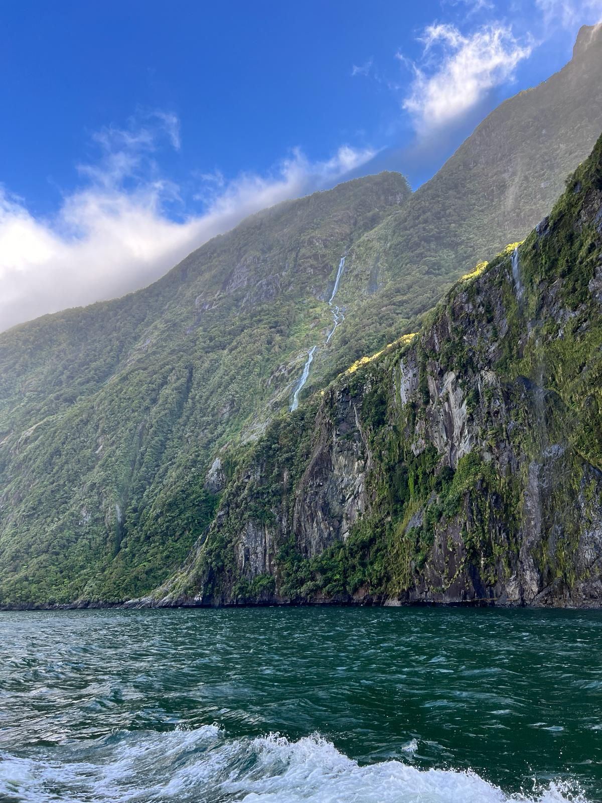
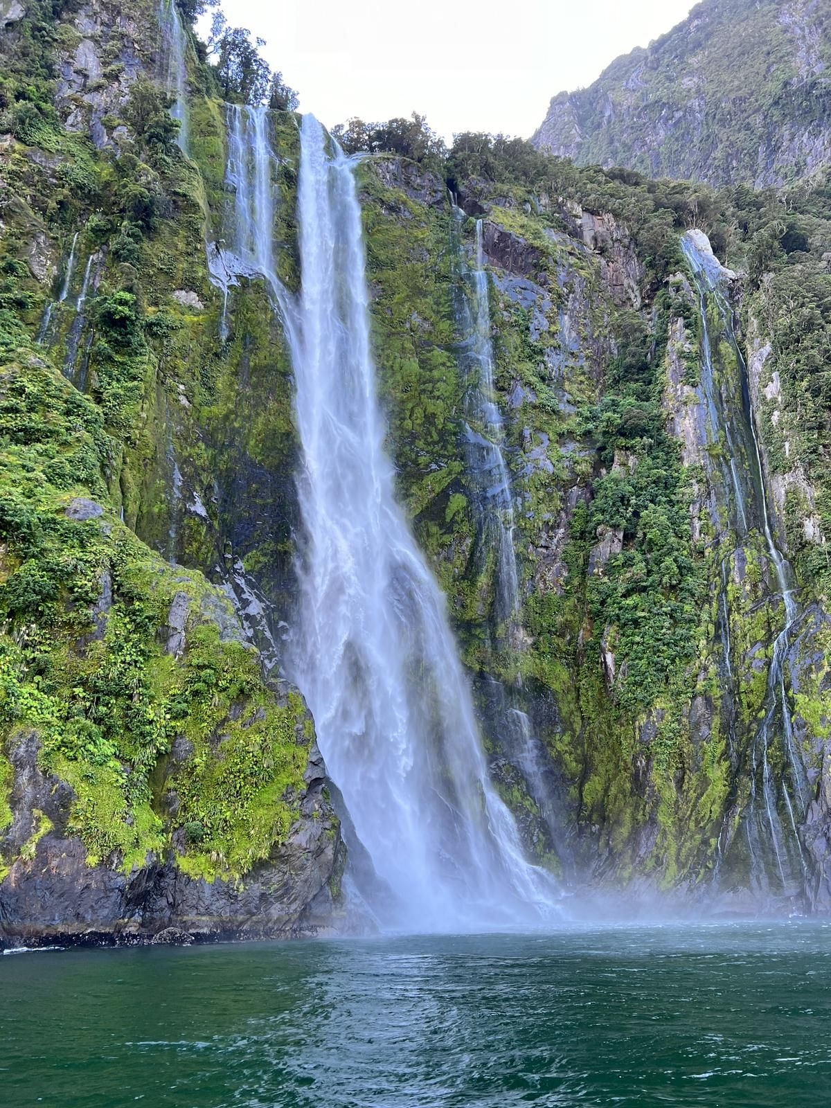
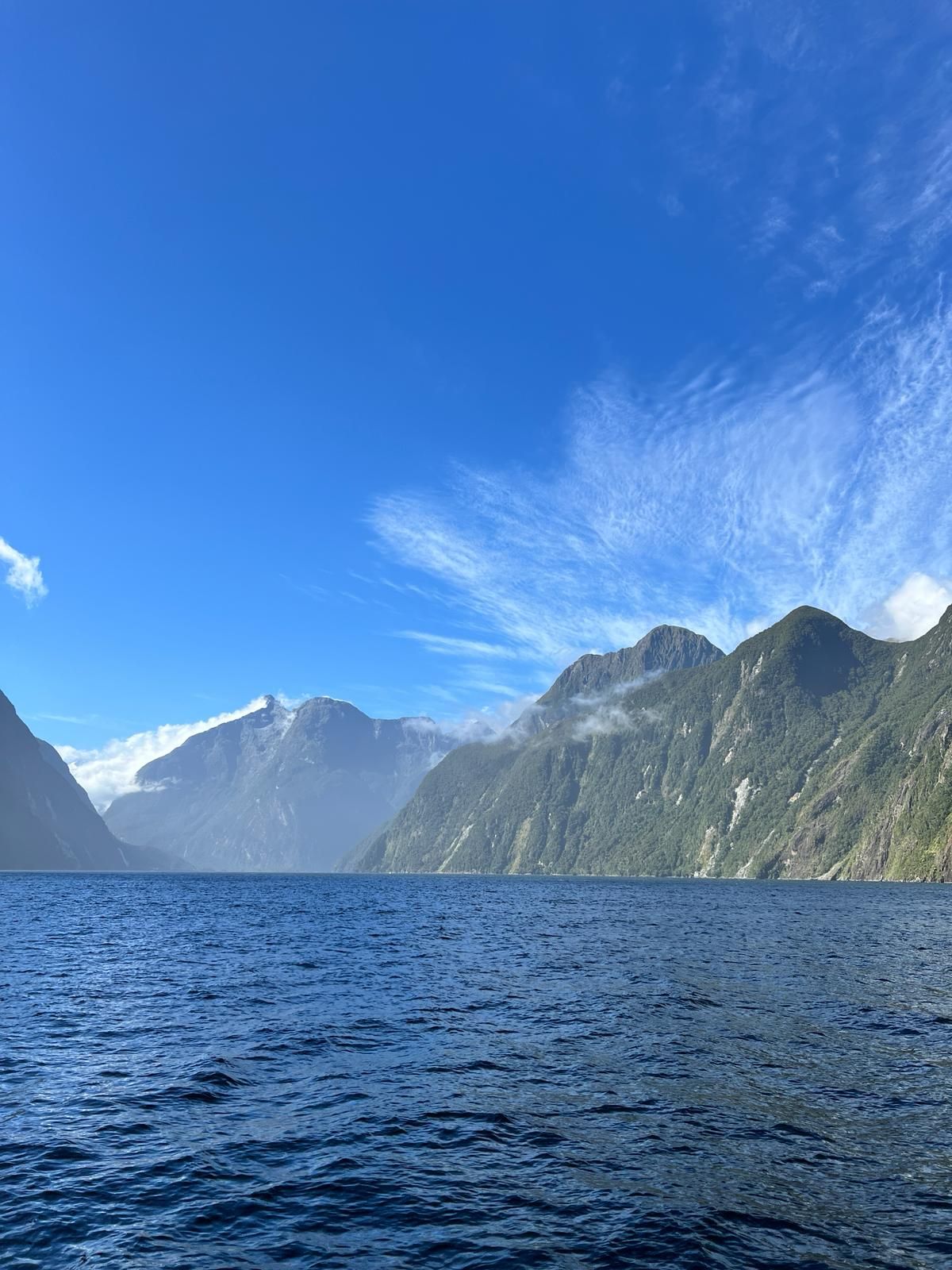
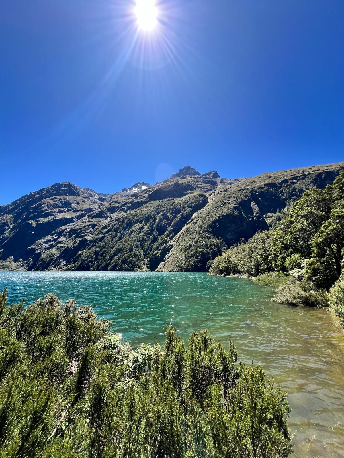
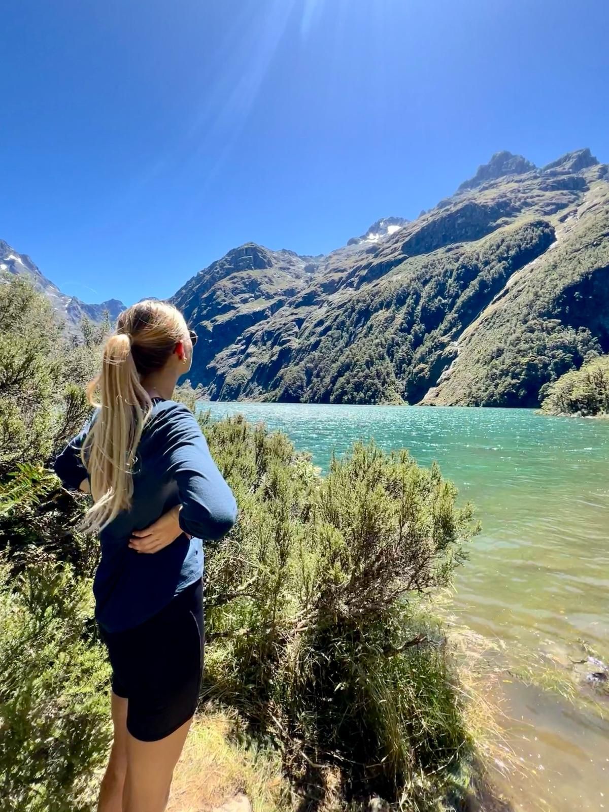
The next morning we had to get up early because we had booked the first boat trip. So first drive 30 minutes to Milford and then have breakfast there and wait a bit. The boat trip was really very nice. It took 2 hours from Milford through the fjord to the open ocean and then back through the fjord. There were high mountains that slope steeply down to the ocean (the fjord :D) and many waterfalls. We had great weather again that day, which is quite unusual as Milford Sound is the rainiest place in the world (7m of rain a year), which is probably why no one lives here. The disadvantage of the good weather is that there are fewer waterfalls to see, the advantage of the good weather is that you can spend the entire boat trip on the upper deck. After the boat trip we went on a short hike to a glacial lake (Lake Marian) and then back to Te Anau to a campsite.
The next morning in Te Anau we walked a section of the well-known “Kepler Track” hiking trail and then continued by car towards the southern end of the South Island. Our next destination was Invercargil to have a (worn) tire changed. On the way there we stopped for the night in Lumsden (small town in the middle of nowhere). Since we left Milford, all we've had is the weather that's actually typical for Milford....rain. Our original plan was to go to Stewart Island (NZ's third largest island, in the very south) and do a multi-day hike there. On Stewart Island you have the best chance of seeing a kiwi (bird) in the wild, which is very difficult anywhere else without a guide. Unfortunately the weather thwarted our plans and we decided to drive to the West Coast.
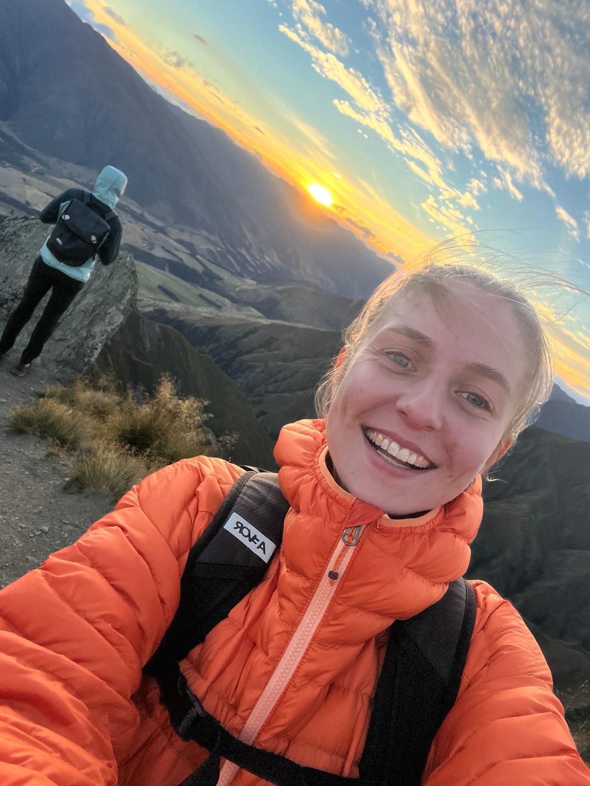
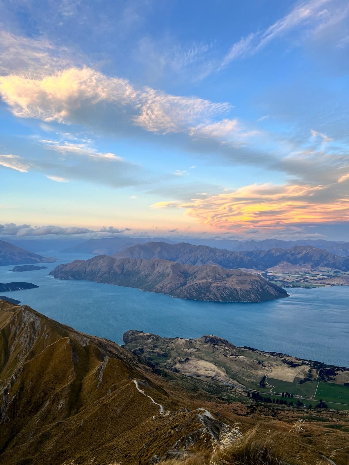
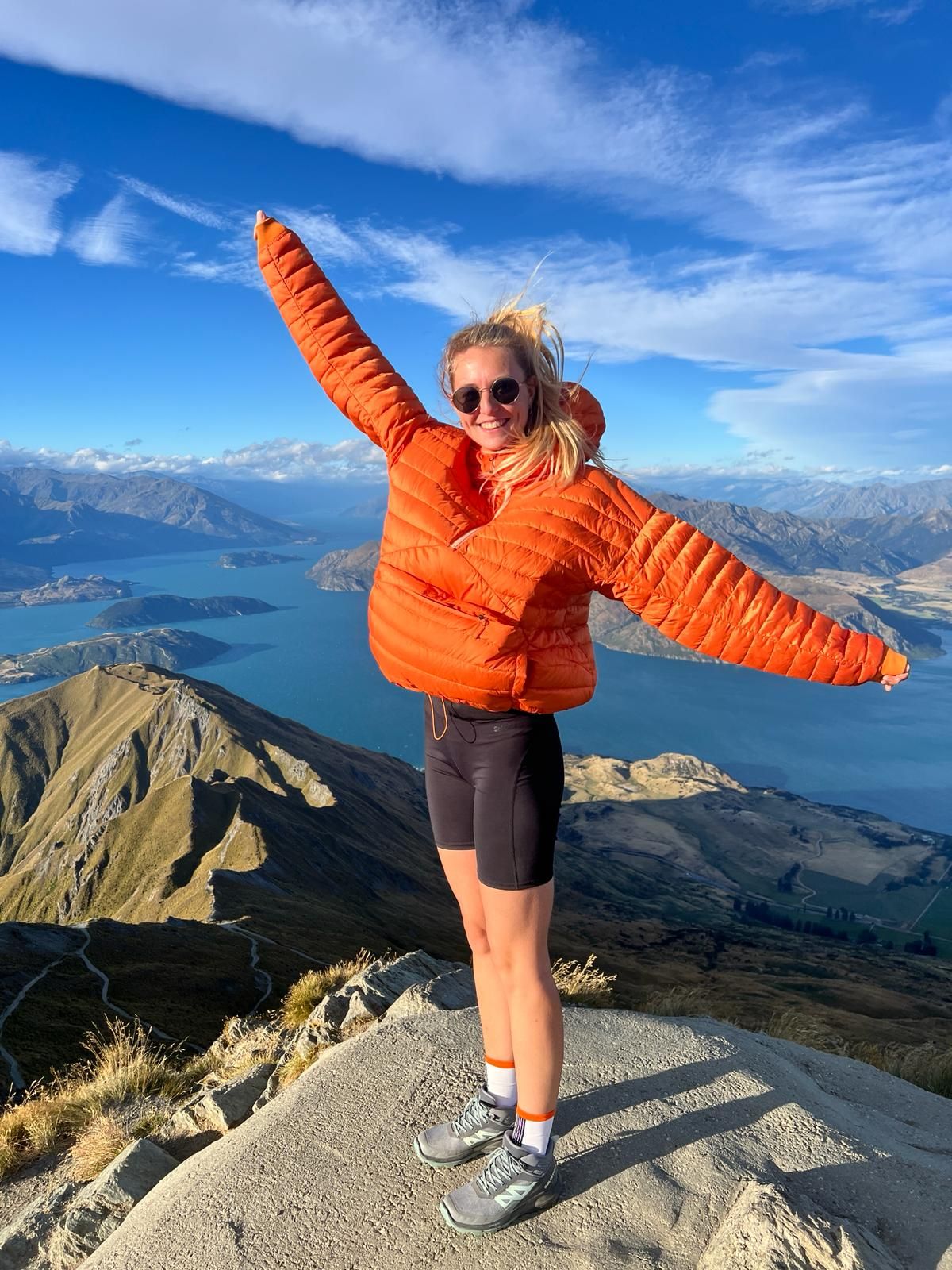
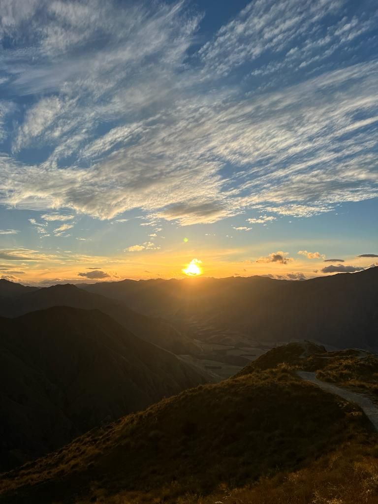
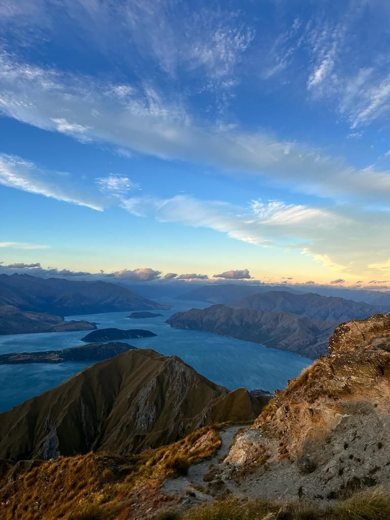
On the way to the West Coast we made overnight stops in Wyndham (small town in the middle of nowhere), Clyde (beautiful place on an even more beautiful river), Cromwell (including a short visit to our employer) and Wanaka. In Wanaka we climbed Roys Peak. This had been on our to-do list for a long time, but we kept putting it off. Roys Peak is quite a strenuous hike. Here it is 8 km and 1200 m high to the 1600 m high summit. At the top we were rewarded with a 360° view over the Southern Alps and the lakes. The view at the top was definitely worth the effort. We watched the sunset from the summit and then went back down to the parking lot in the dark.
The next destination is the West Coast!
Harpidetu Buletinera
Erantzun

Bidaien txostenak Zelanda Berria