Neuseeland/Südinsel & Australien/Victoria
vakantio.de/neuseeland_suedinsel_und_victoria
9.1.19 From the Grampians to the Yarra Valley. What was Black Saturday?
Avaldatud: 22.07.2019


Telli uudiskiri
My journey is slowly coming to an end and today I have to make a big leap to the east to spend the next two days near Melbourne. When the alarm rings at 7am, it's 12°C outside and I quickly attach my trouser legs to my pants, put on a sweater, and go inside to have breakfast at "Harvest".
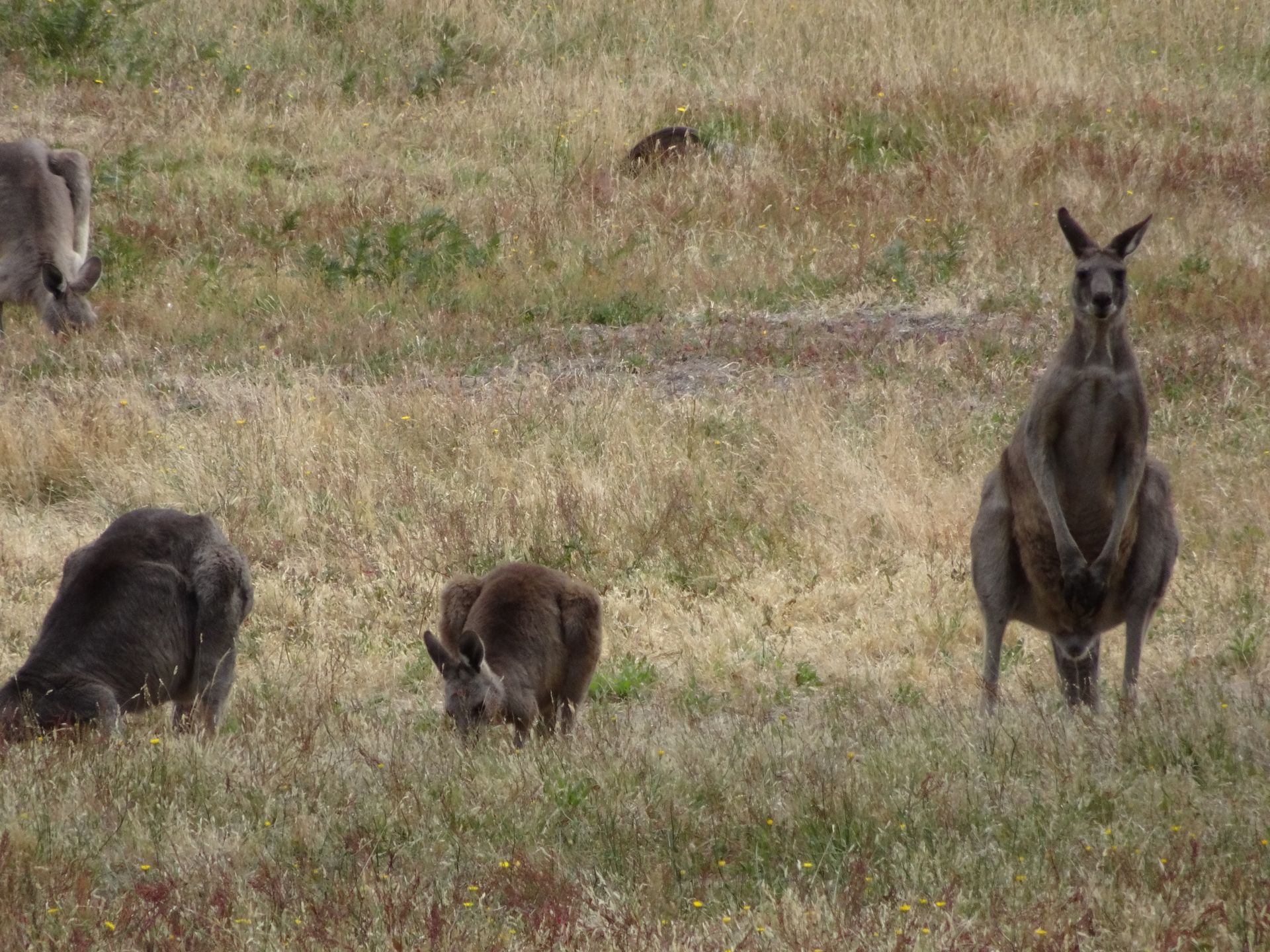
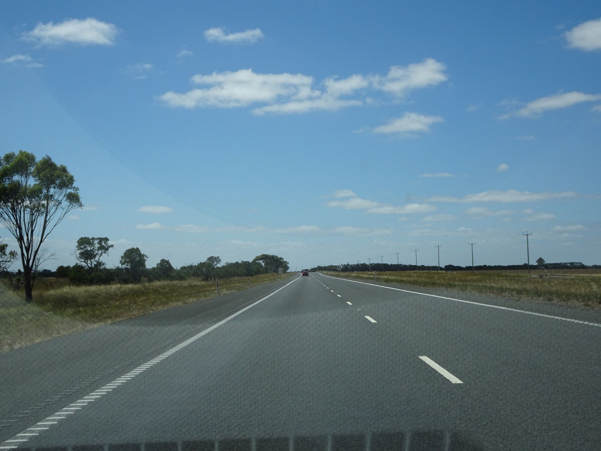
At 10am, I leave the hotel. In the first few kilometers out of Halls Gap, I pass several emus casually pecking on the grass in front of the houses. Shortly after, I see several kangaroos feeding before the heat gets too intense. My navigation app "Here" gives me a strange route for the 350km ahead of me, which mainly consists of country roads and is expected to take 6 hours. Google Maps keeps me on the highway A8 for a longer time and then leads me northeast on the M80 at the western outskirts of Melbourne - the travel time is almost 1.5 hours shorter than with Here. The app was already faulty during my trip from Melbourne to Geelong because it didn't recognize the highway. So, I have Google Maps running on my phone, because my massive data plan will never be used up anyway.
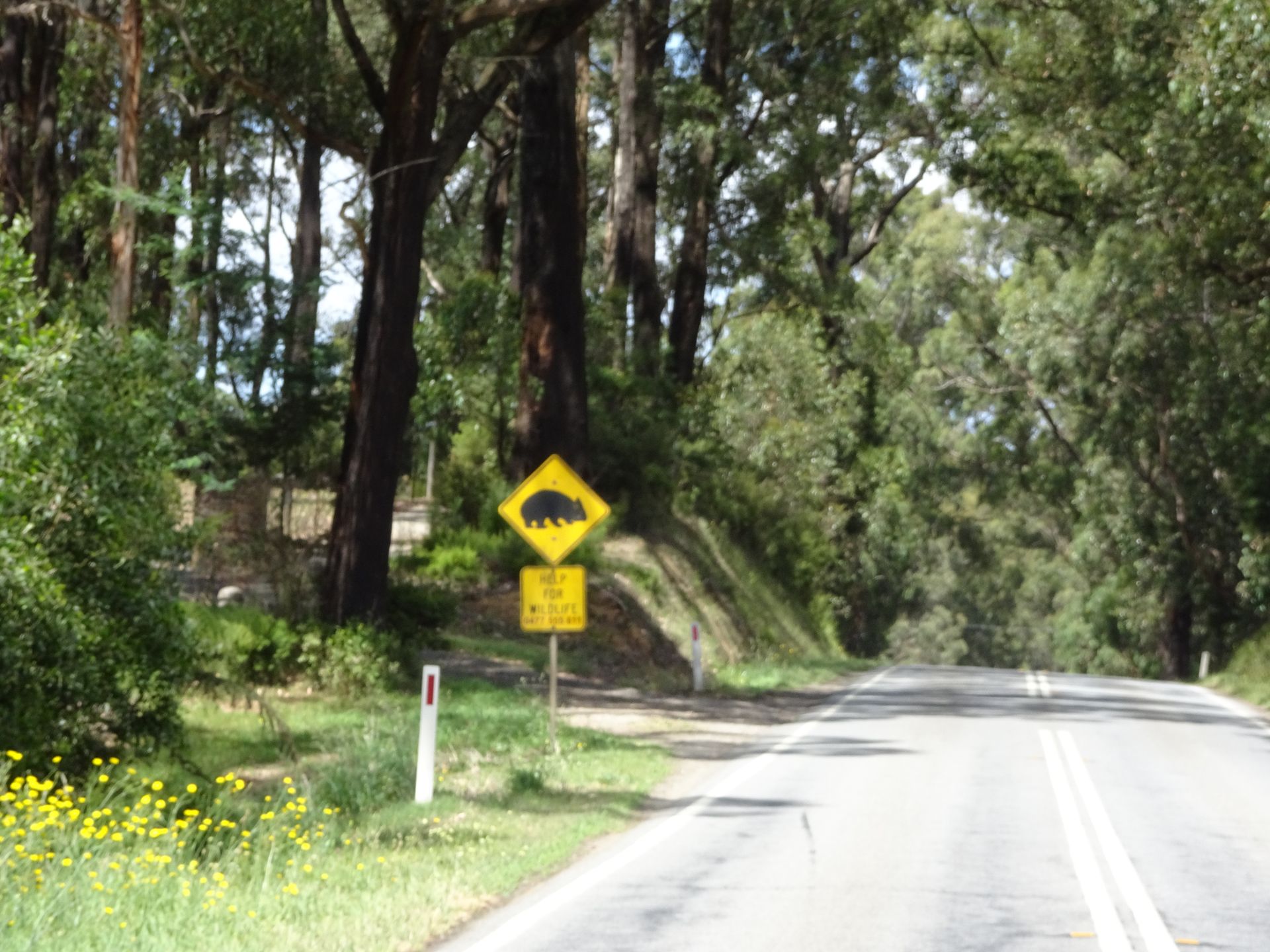
Nevertheless, I decide to take a little "detour" via Kinglake. The country road C746 leads there. It was one of the places that was heavily affected by the bushfires on Black Saturday in 2009. The road is extremely winding and there are several signs that do not recommend driving with larger vehicles. I wonder how the fire brigades managed to come through here at that time. They couldn't have extinguished the fires only from the air. It's not surprising that it can burn here like tinder - the vegetation is bone dry, with many eucalyptus trees, bushes, and undergrowth. Much of it is pitch black and charred, especially the tree trunks up to about 4m in height. In St. Andrews, the nearest town to Kinglake, there are still signs of gratitude at the fire station. So, they actually fought the fires here with fire trucks - while fleeing residents from Kinglake were coming towards them on this road! 450,000 hectares were burned at that time, 173 people lost their lives, and of course, thousands of wildlife were affected. Many animals died at the Healesville Sanctuary, which is about 30km away, suffered burns, and had to be put to sleep in the end.
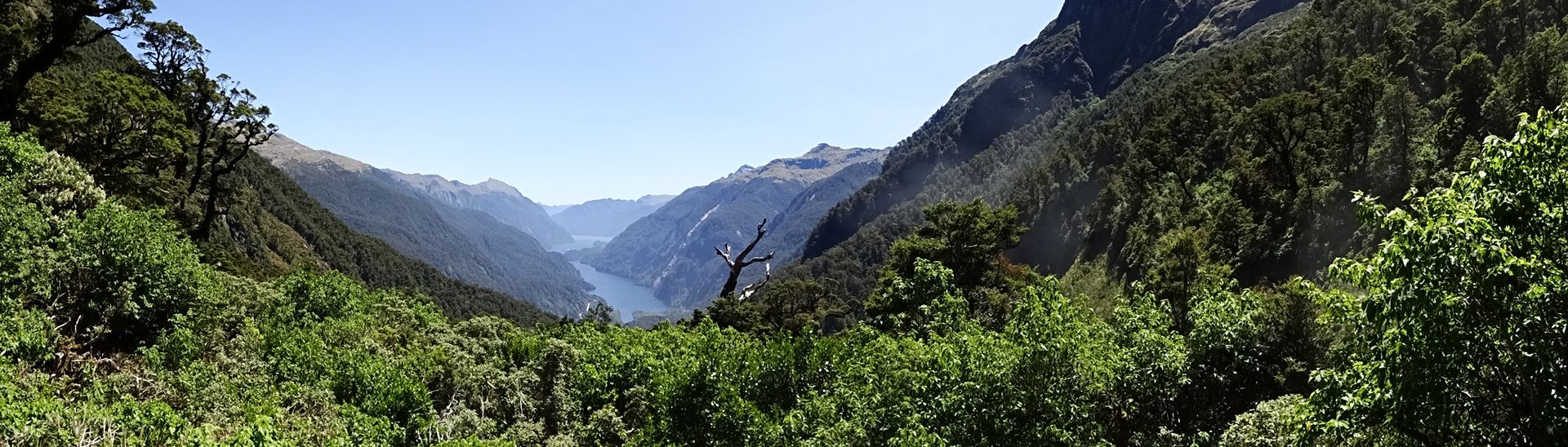
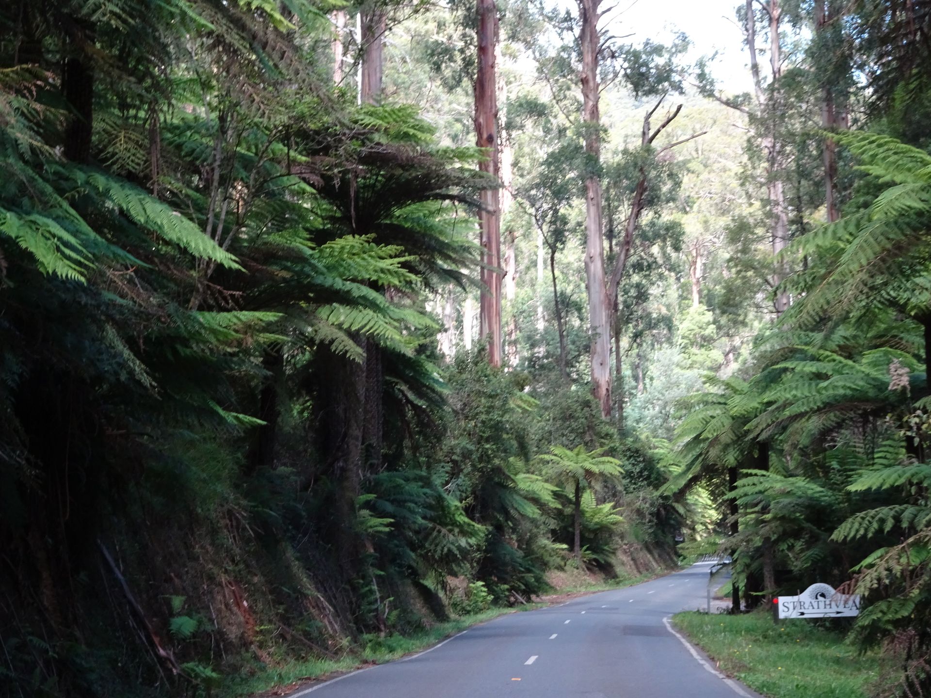
I refuel in Kinglake. Unfortunately, there is nowhere to have a cup of coffee here, so I continue driving to Healesville, where I arrive shortly after 4pm. In the end, I have been on the road for 6 hours with short breaks. So, I decided not to do anything today. I sit by the pool in the milder evening sun, as I still haven't gotten a proper tan from my vacation. I study the travel guide for tomorrow's plans and around 7pm, I only go on a small botanical tour in the nearby Yarra Range National Park. One of the most beautiful routes in Victoria. The road is narrow and extremely winding, but absolutely impressive. Countless towering eucalyptus trees grow alongside giant tree ferns in this rainforest, through which the B360 road winds towards Fernshaw. 98% of the vegetation had fallen victim to the Black Saturday fire in 2009, but after 10 years, there is no trace of it left. Although I don't have a comparison to before, it is so densely overgrown that it seems likely that most of it has regenerated. Eucalyptus trees are quite fire-resistant, and the tree ferns probably have optimal growing conditions here.
After 13km, I turn around and drive back on this amazing route to Healesville, where I have dinner at a Thai restaurant, where I am almost alone. The place has been highly praised, but in my opinion, it's average.
Telli uudiskiri
Vastus