
On the Lycian Way
Eldonita: 06.11.2020
Abonu al Informilo
Friday, 16th September:
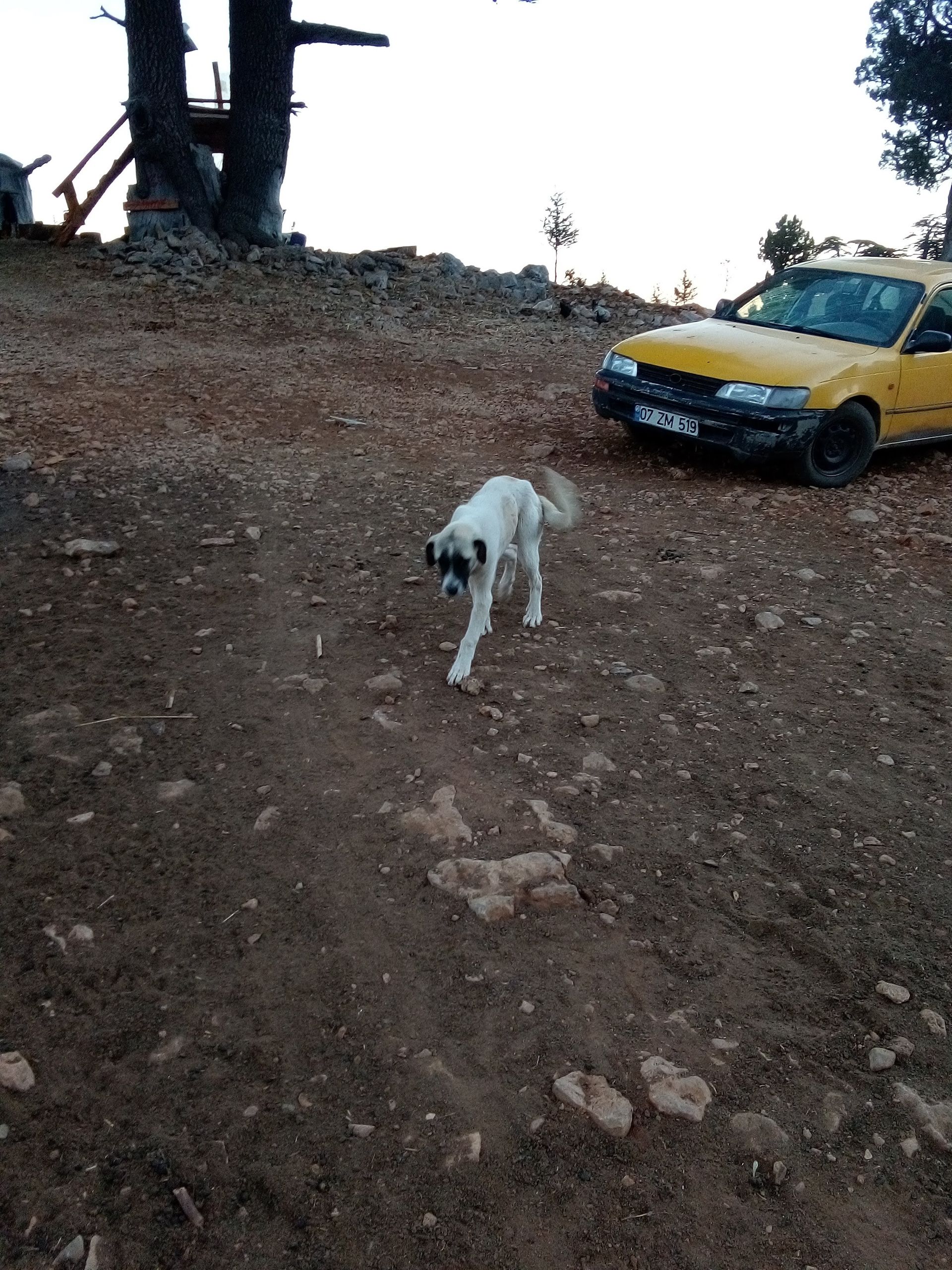
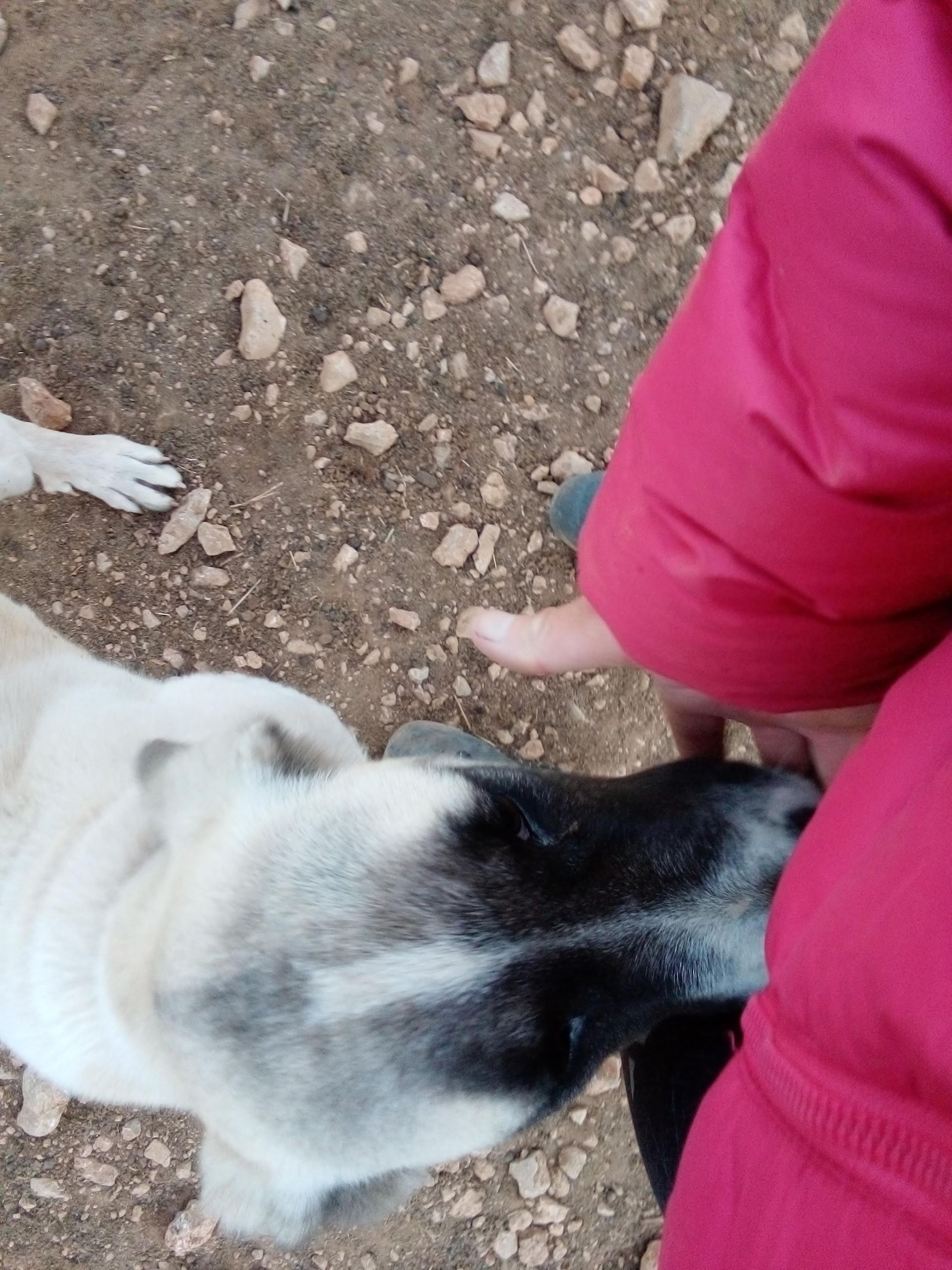
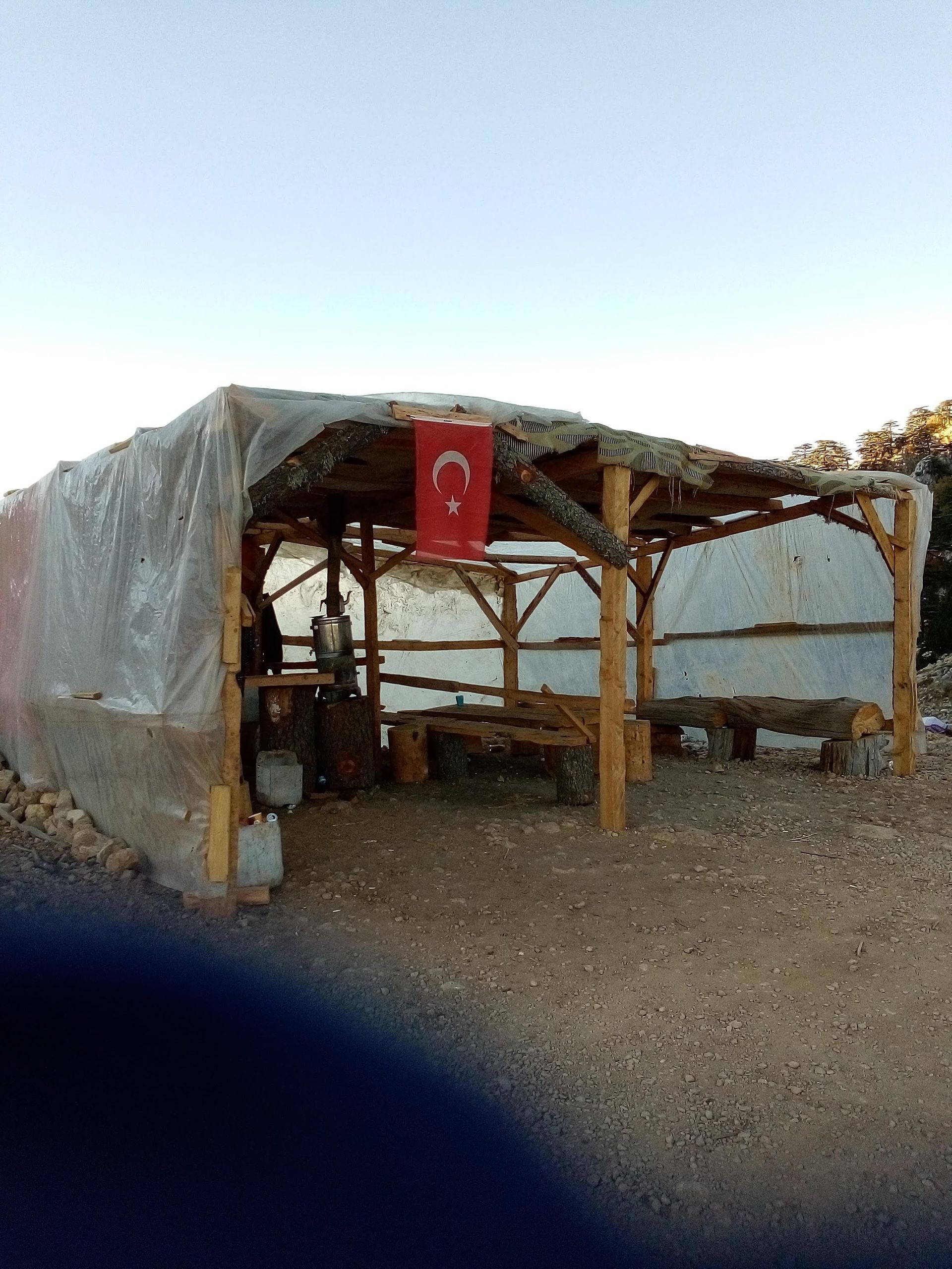
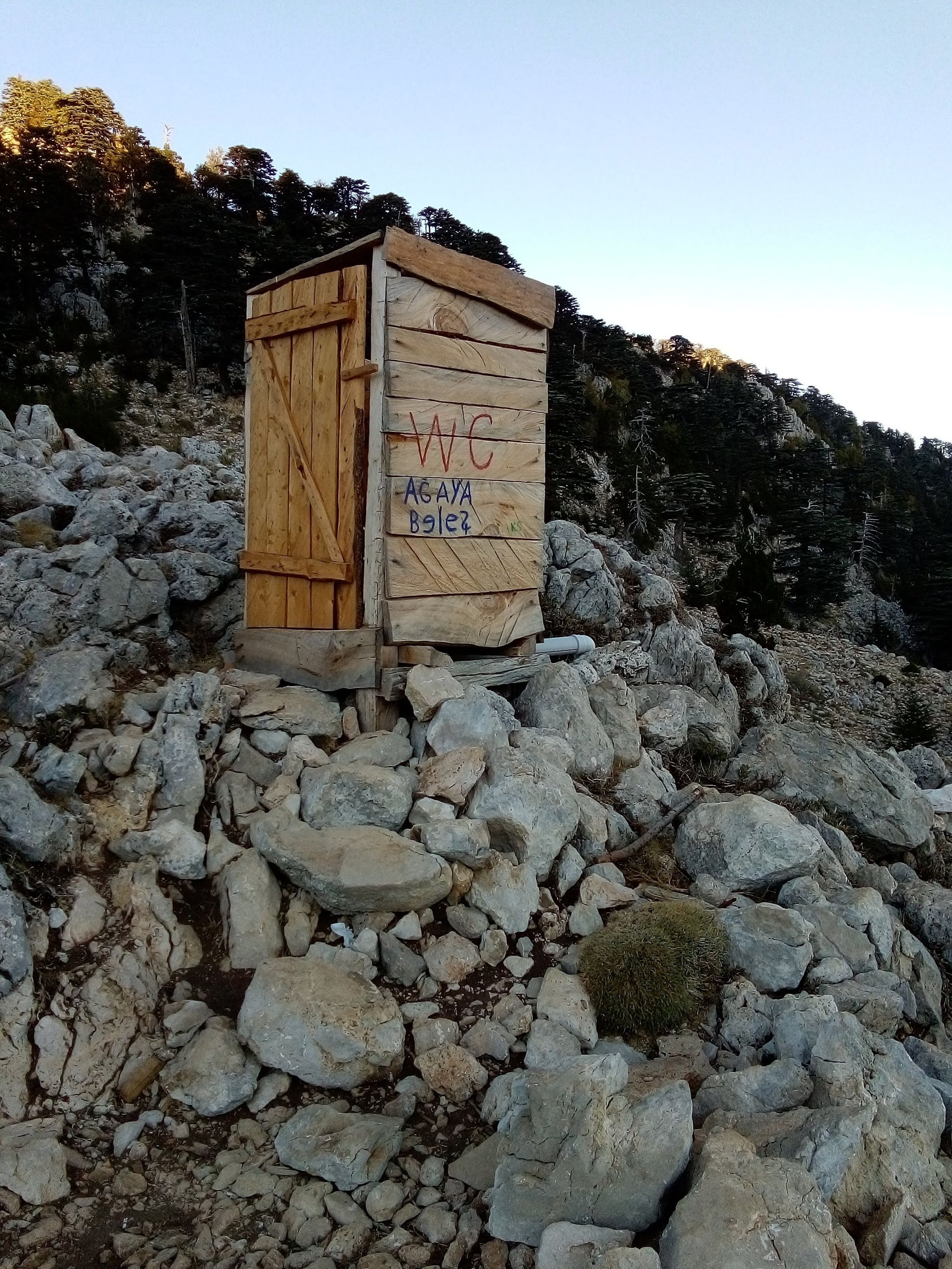
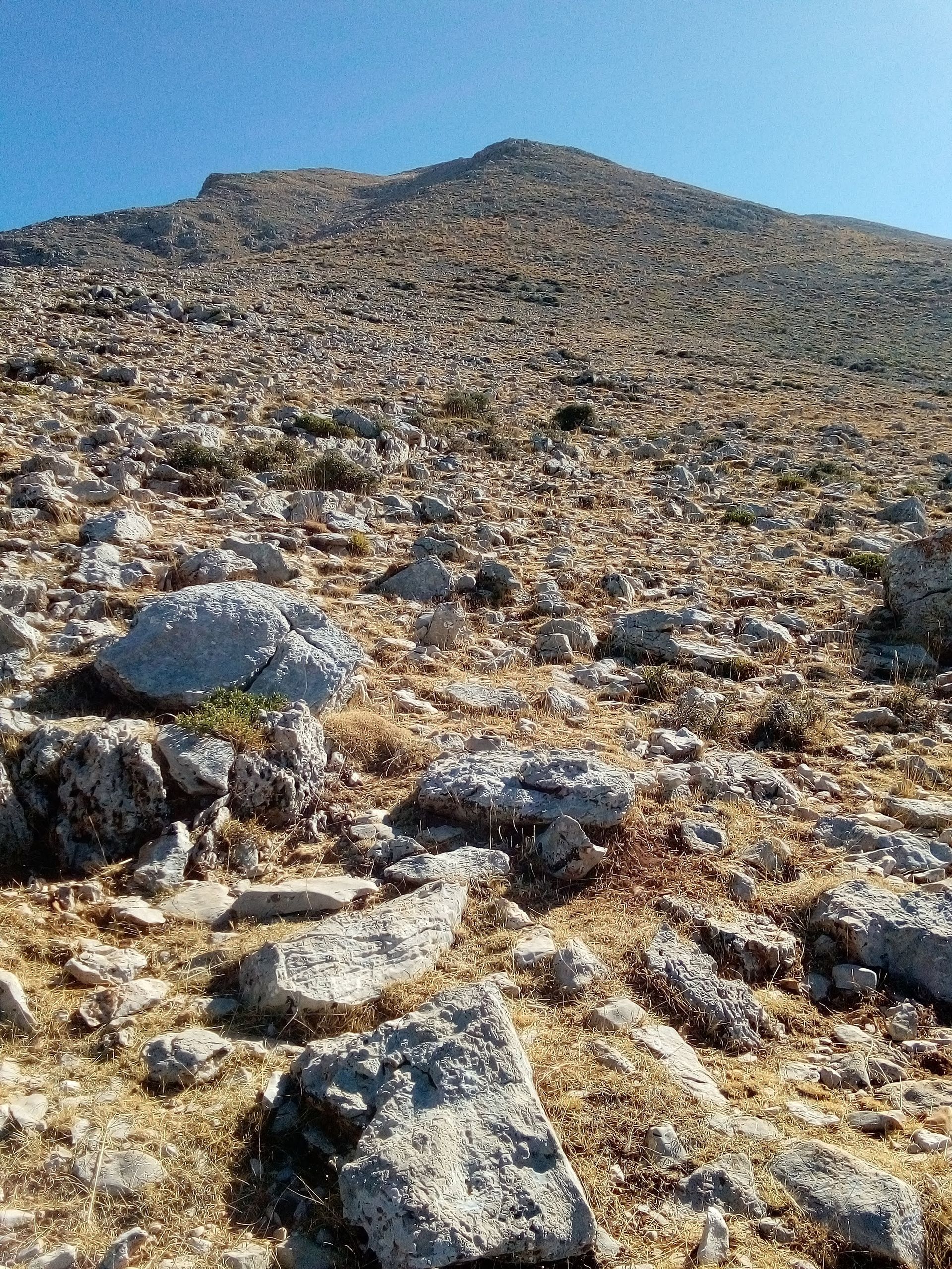
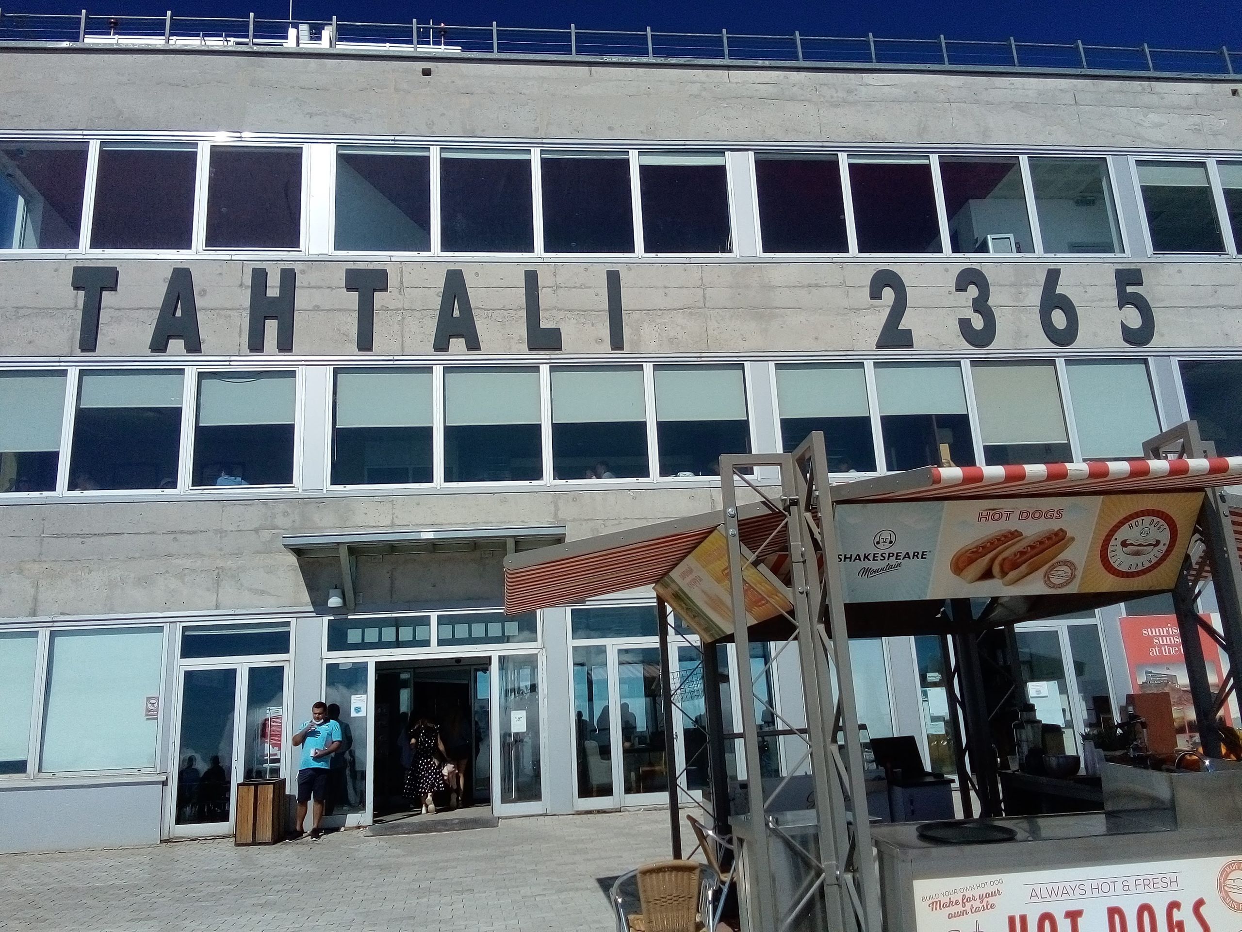
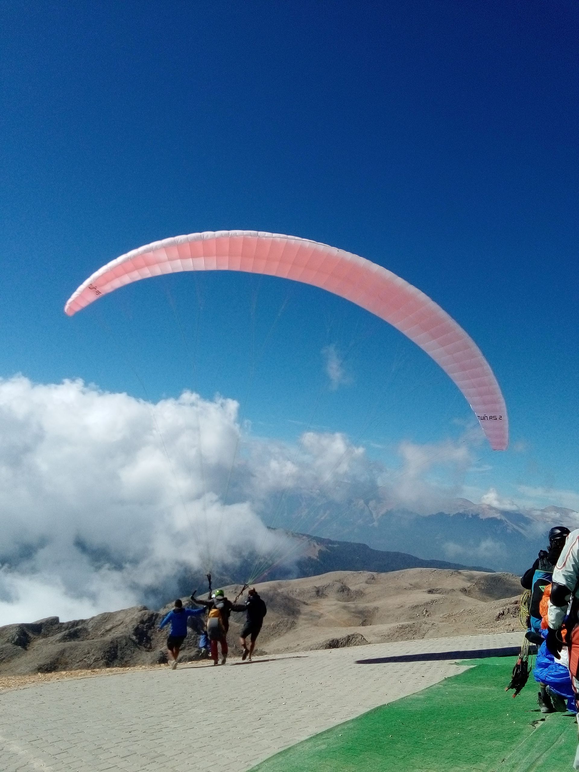
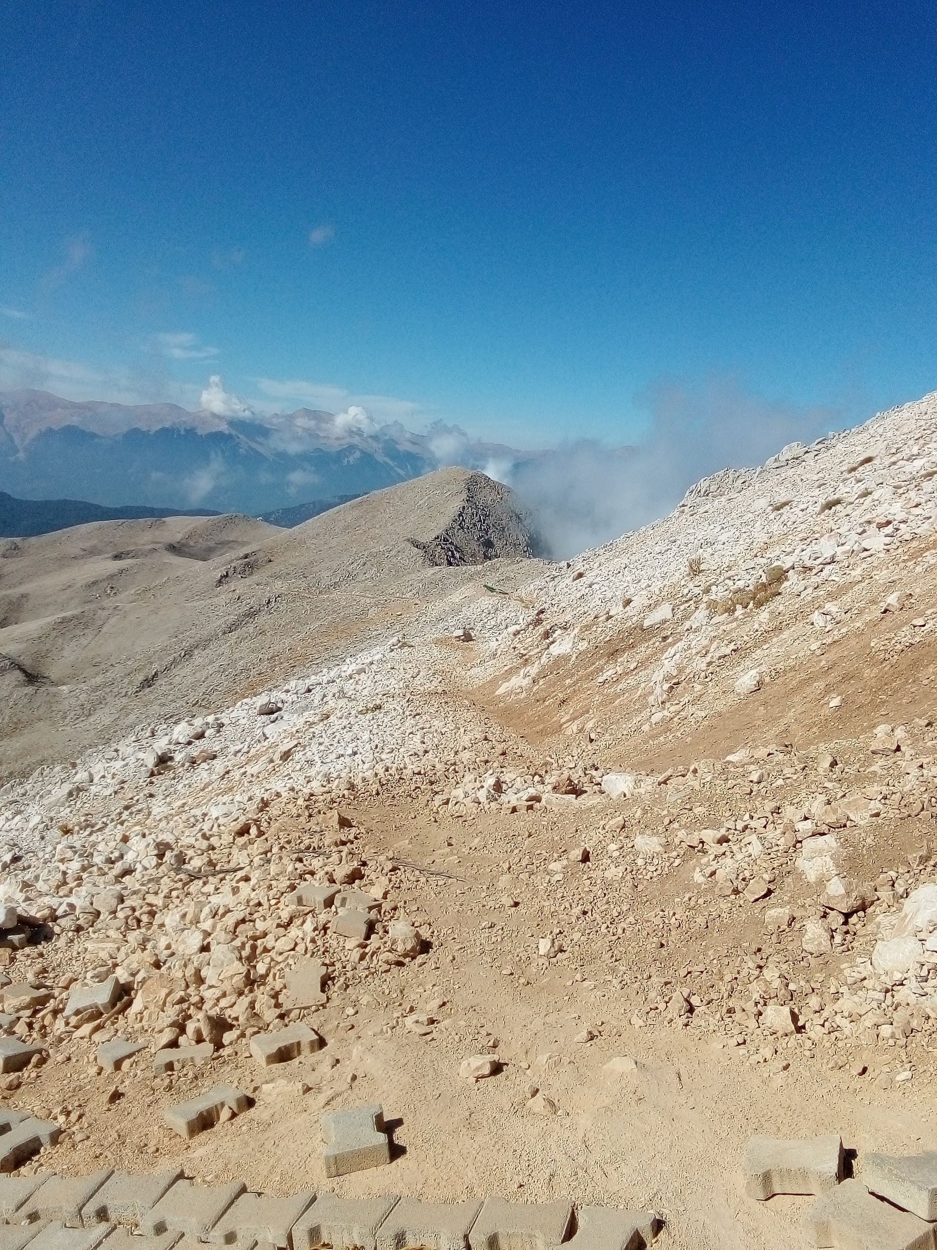
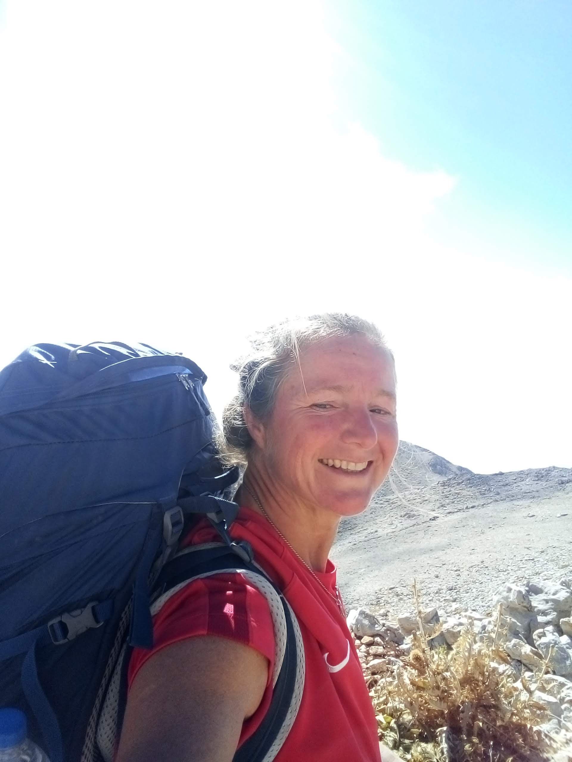
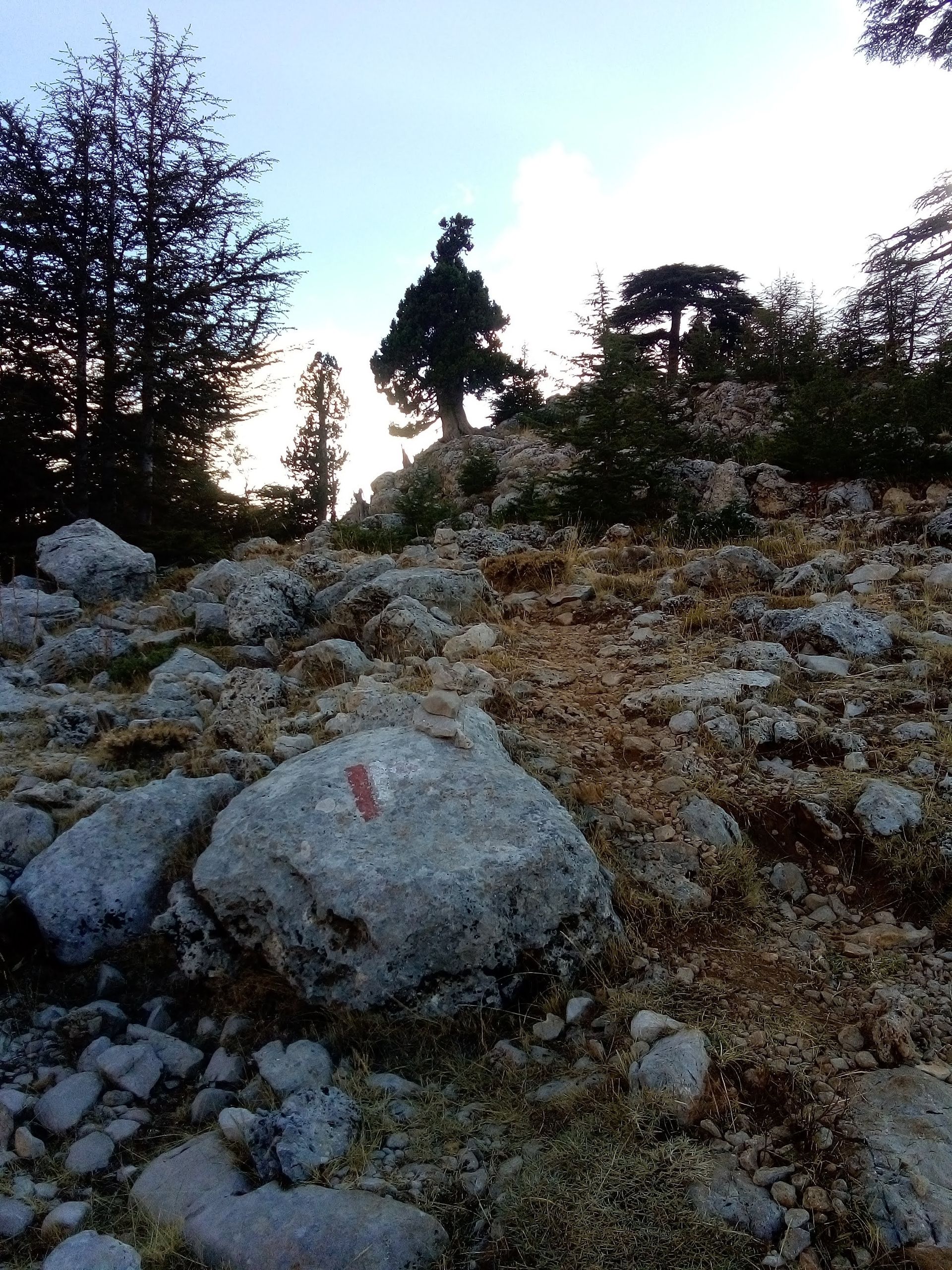
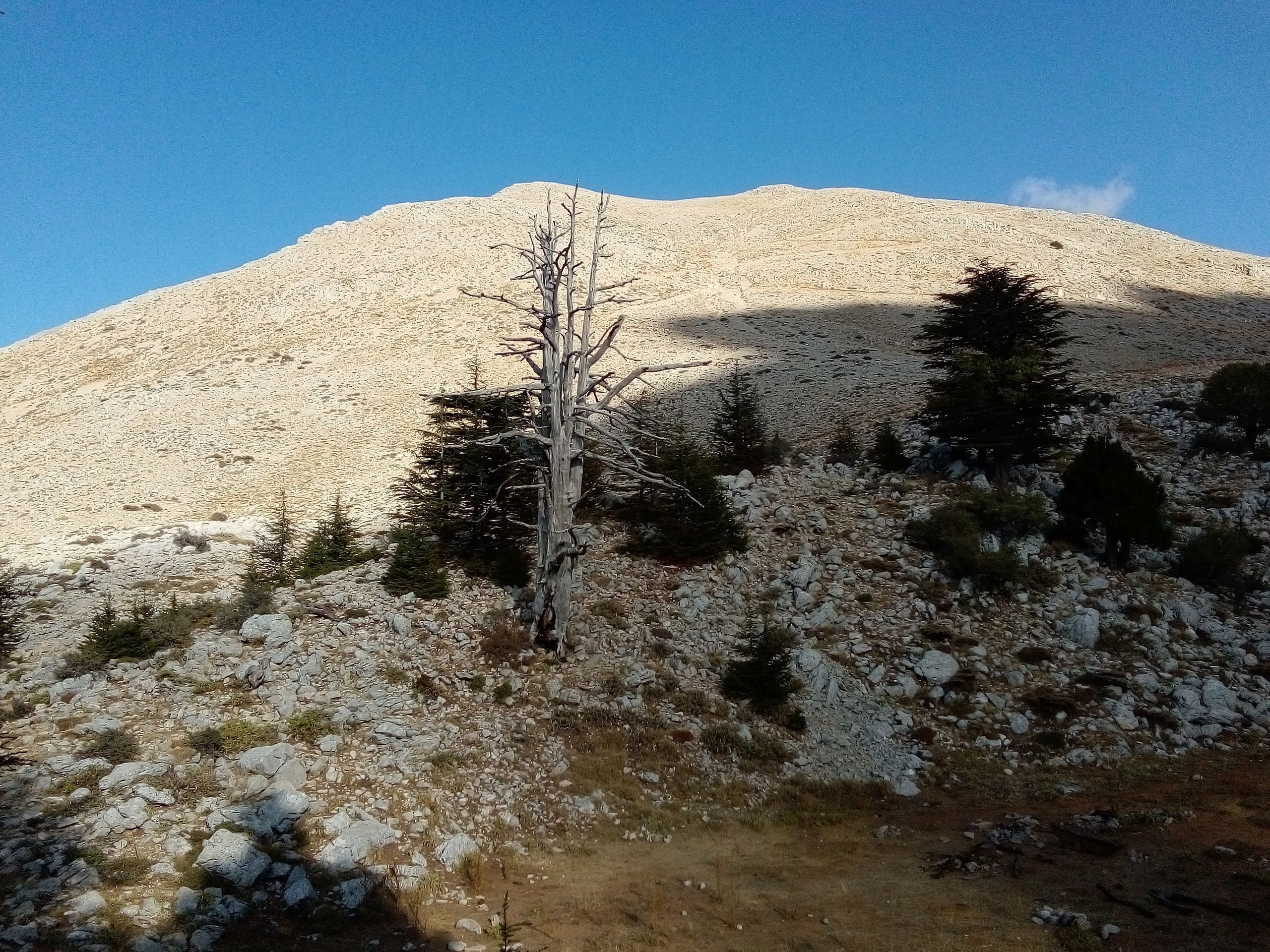
Today it means getting up very early. I want to join the Ukrainian hiking group and climb Mount Tahtali, which is 2365 m high. It's 5:30 in the morning when I peel myself out of my small tent. The stars are still in the sky. It takes me an hour to pack up and get everything packed. At half past six I go to my hiking friends with my 15 kg of luggage. They are already ready to go and walk with their hiking poles in a fast pace up the mountain without any luggage. It soon becomes clear to me that I can't possibly keep up with them at this pace. I say goodbye to them and take a different path. My friend Ramasan explained the way to me yesterday ... follow the road until the end, then go straight ahead for about 600 meters, there I can leave my backpack and then climb the mountain without any luggage. I follow the road steadily uphill until I pass a small snack bar where I don't meet a soul. The road is now leading me downhill again, farther and farther away from my destination. But that can't be the right direction anymore. 😳 I still have to walk for a while until I get an internet connection here and can find the way in my app. Oh my god... I'm actually totally wrong here. So I walk about four kilometers back. I pass the snack bar again. This time I meet Ali and his wife, the shepherd family from yesterday. They invite me to a cup of Cey (tea). In sign language I try to explain to them that I want to hike on the Lycian Way to Tahtali. Ali points me to put my backpack in the trunk of his car and get in. He wants to get water from the spring, so we pack the trunk with empty canisters. Ali drives a good distance on the unpaved road and stops. He points me to some rocks, that's where I will find the Lycian Way. I am overjoyed to finally have found the hiking trail. A narrow path winds through rocks and bushes ... at intervals I can see the red-white markings. Finally! Now everything is very easy ... just follow the signs. I come to a clearing, and in front of me the mountain stretches with its rocky terrain. Once again, I am faced with a puzzle. Which direction should I take? I can no longer find any trail markings. I decide to climb straight up the mountain. It is very difficult because there is no proper path. I have to be careful not to slip on the loose rocks. The whole mountain soon consists only of rocks and stones. Finally, I find a slightly wider path, it goes steeply uphill. As far as I can see, there is no opportunity to leave the backpack at the foot of the mountain. It's hot, the sun is now high in the sky. I walk a long rocky path to the summit of Tahtali. Finally arrived, there is a restaurant here. The cable car brings many tourists up here. I quench my thirst and charge my phone, then I prepare myself for the descent. This time I take a different route, because I promised my friend Ramasan to visit him in his restaurant this afternoon. With the onset of darkness, I finally arrive there. After 12 hours on my feet, pretty much everything hurts😳. After a hot shower, the world is in order again. I decide to take a rest day tomorrow and spend the day here. After all, I want to take it slow on my first long-distance hiking trail.
Abonu al Informilo
Respondu
Vojaĝraportoj Turkio