
Queen Charlotte Track: Day 12 & 13
प्रकाशित कीता: 10.03.2018


न्यूज़लेटर दी सब्सक्राइब करो
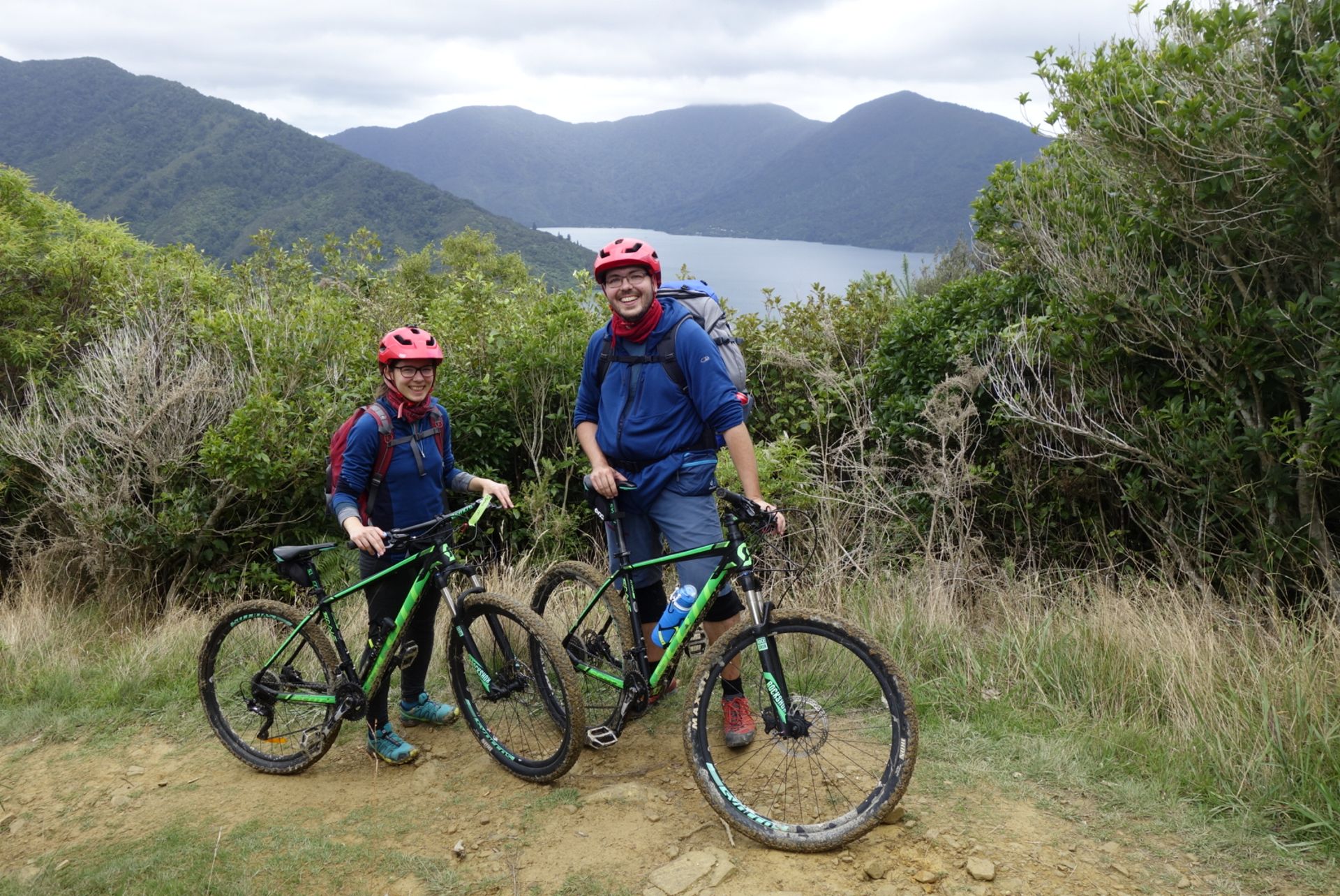
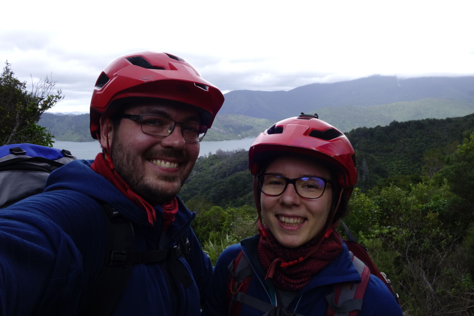
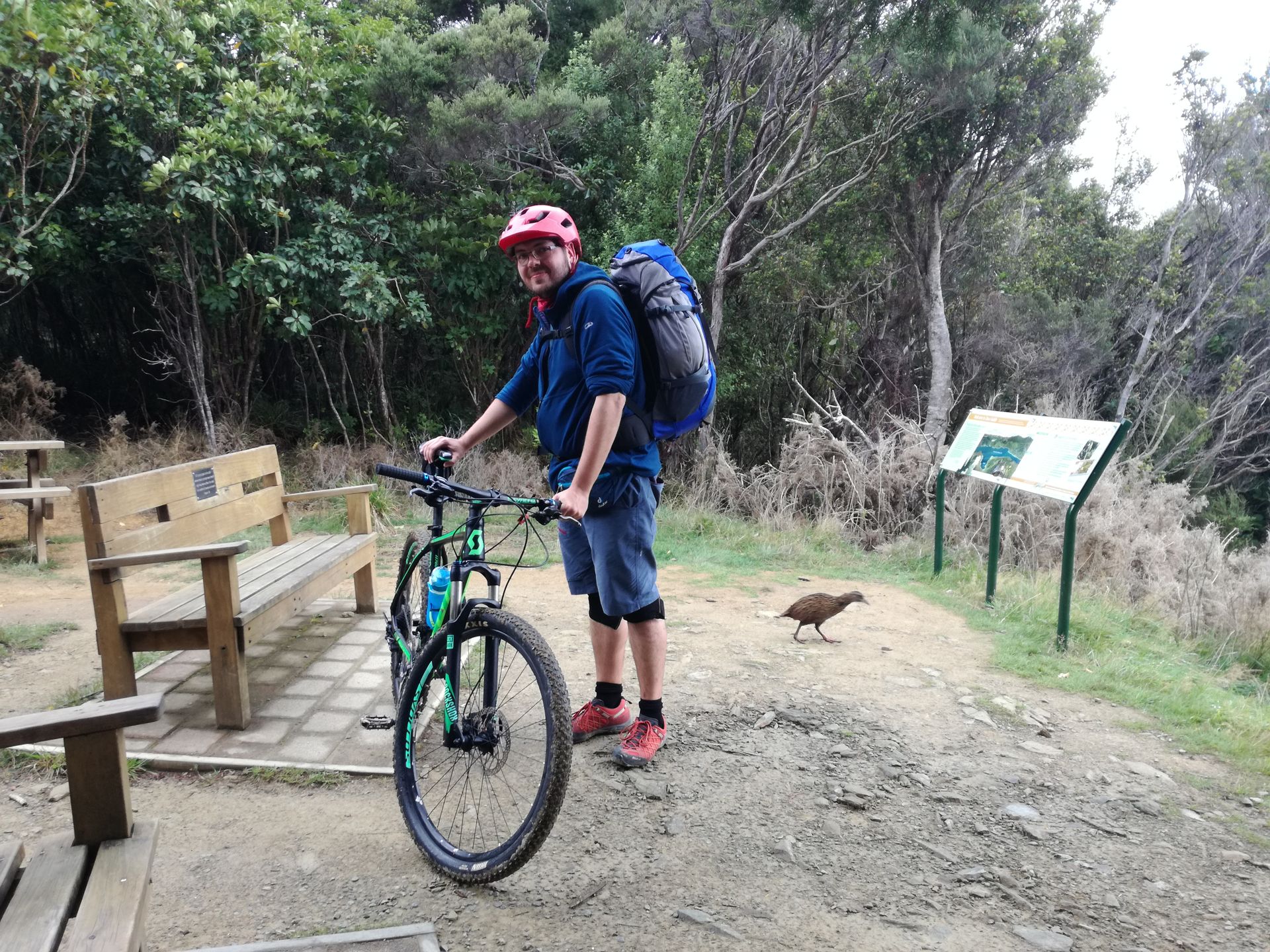
Our first mountain bike tour started at 7:15 a.m., quite early! Quick breakfast, quickly to the bike rental (Marlborough Sounds Adventures, recommended), got the bikes, and then onto the water taxi (Cougar Line, good). From the Picton Harbor, we went to Resolution Bay. Once there, we had about 65 km to go to the official destination, Anakiwa. First, we had to carry our 'push bikes', as the New Zealand term for mountain bikes, up 30 or 40 stairs :-D At least we didn't have to climb the steep hill between the actual starting point of the track, Ship Cove, and Resolution Bay! Once on the Queen Charlotte Path, we energetically placed our behinds on the extremely well-padded saddles. Metal processing companies could not have constructed a more comfortable saddle! The saddle was as comfortable as a rock. It was cloudy and felt around 17 degrees Celsius; pretty good weather for cycling!
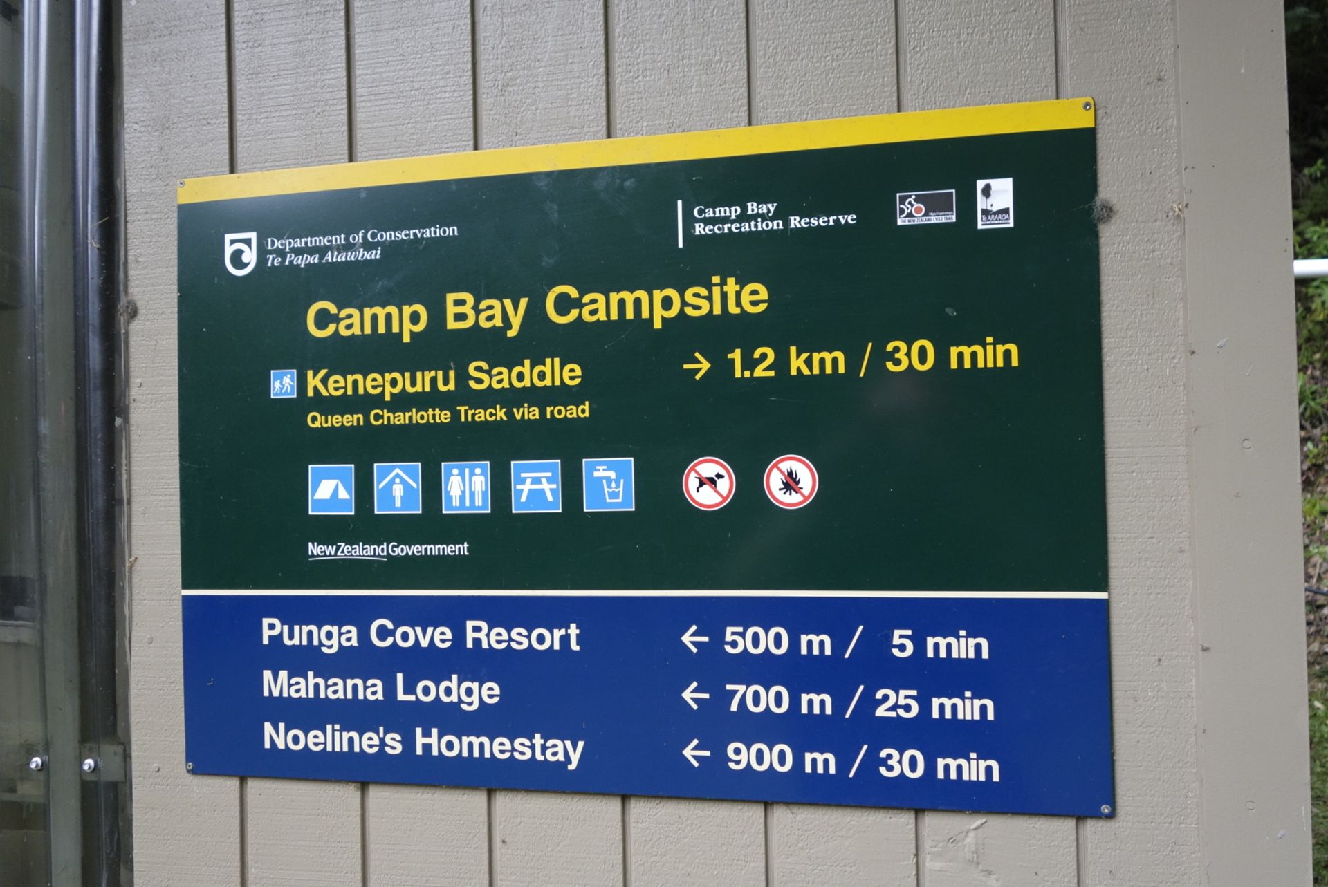
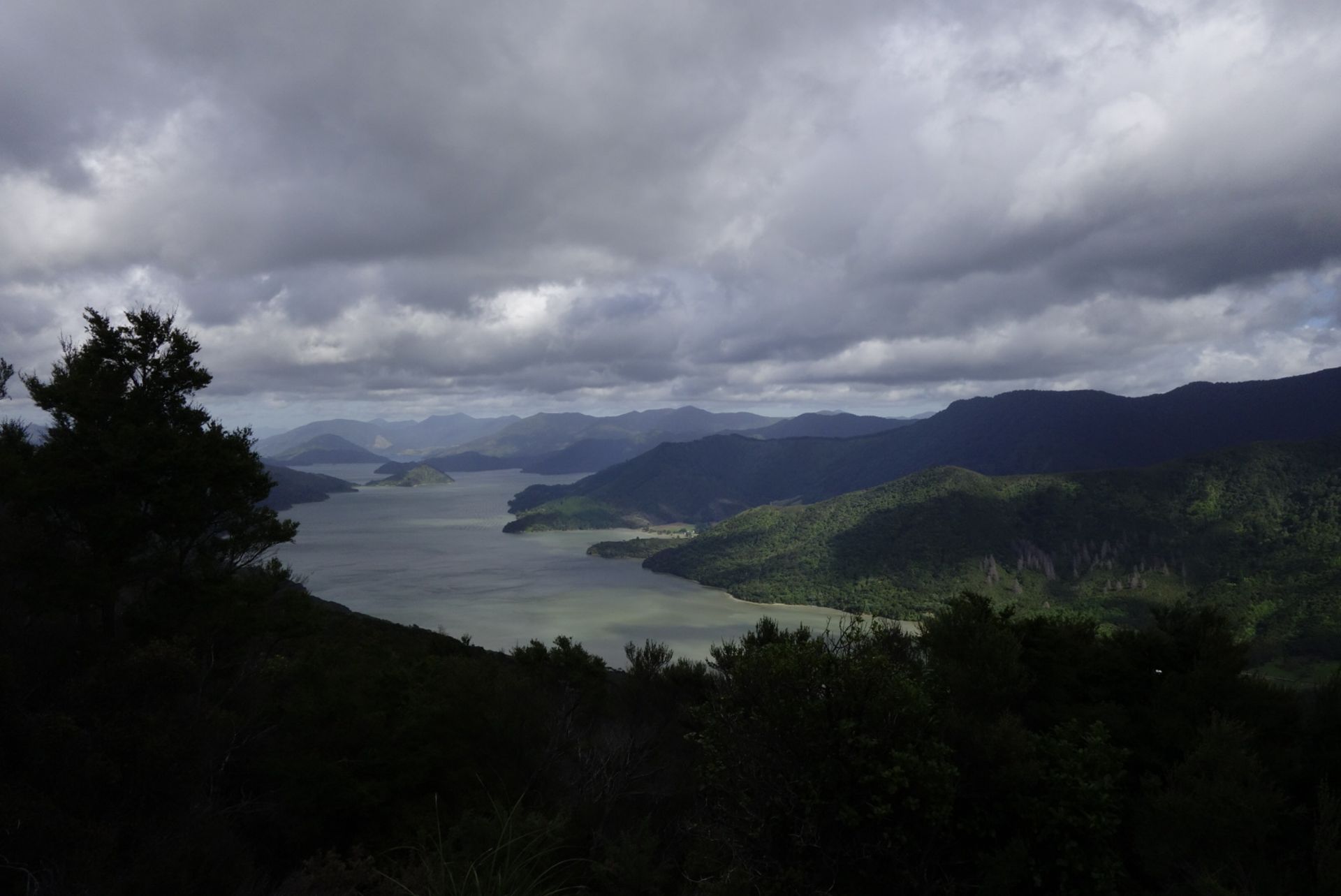
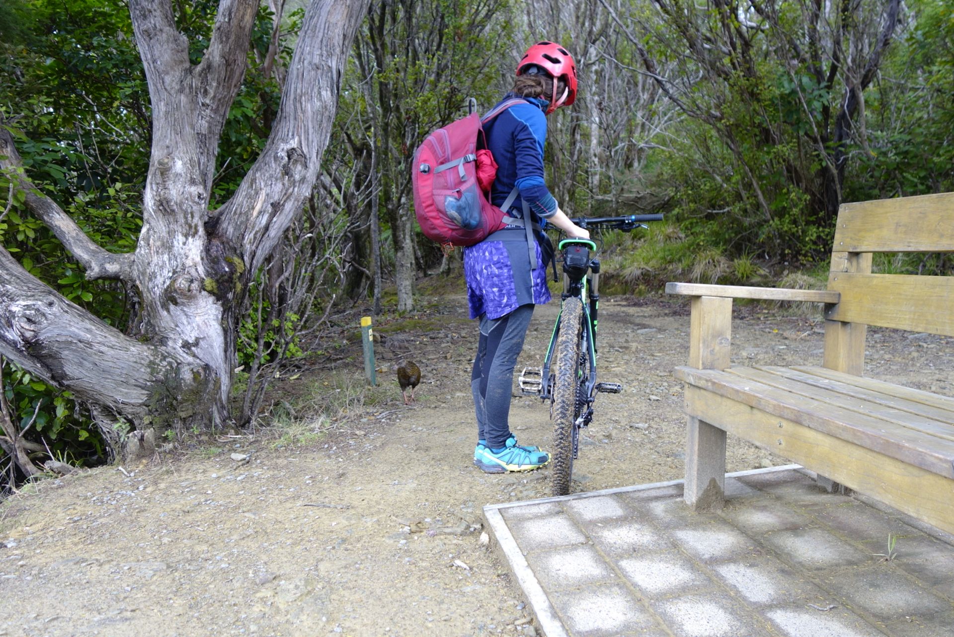
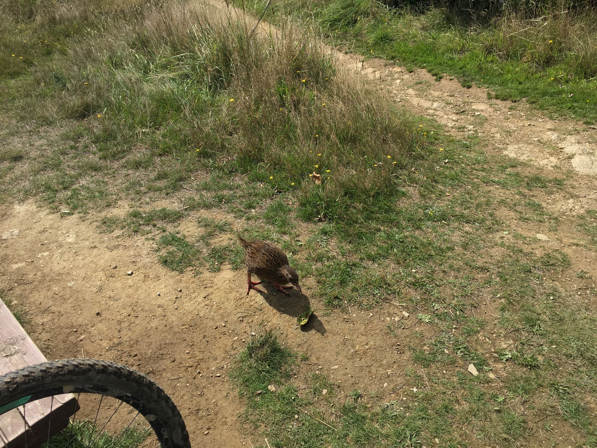
After a few kilometers and some relatively manageable climbs, we were rewarded with beautiful views over the Queen Charlotte Sound (Totaranui). The roadside mainly consisted of ferns and trees, and the track itself was muddy-stony. We managed the first 10 km to Endeavour Inlet quite well and bravely, even though we had to push the bikes a couple of times. It was at that point that we realized that our saddles had done a great job: Janina could hardly sit down anymore, despite having bought extra gel cycling shorts, and Jörg persevered, typical male fun! Fortunately, the path to Camp Bay Campsite was very flat, and we could even pause directly by the water. That was really nice! Plus, during our first break, we saw a Weka for the first time. A Weka, also called Weka Rail, is a curious bird (at least on the South Island), unable to fly, that practically eats anything it finds. Accordingly, it sneaked around us and looked for a treat. After another 11 km, we reached the mentioned campsite, where there was also a junction to Punga Cove Resort. A resort with a restaurant, i.e., an ideal place to strengthen ourselves and relax a bit, or in other words, to regenerate our behinds. The restaurant was a very fine galley at the Punga Cove wharf, which also offered a delicious vegan burger! Respect! Together with a wonderful view over a lovely little bay.
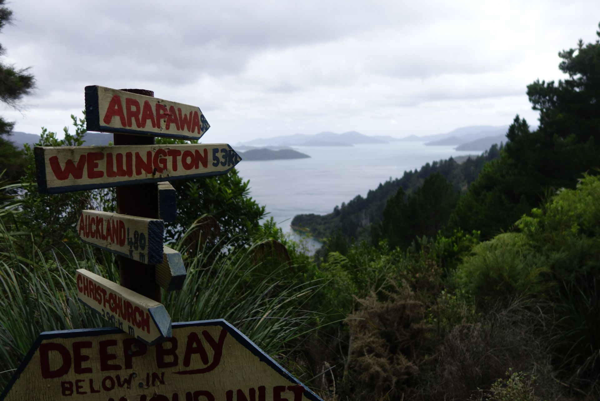
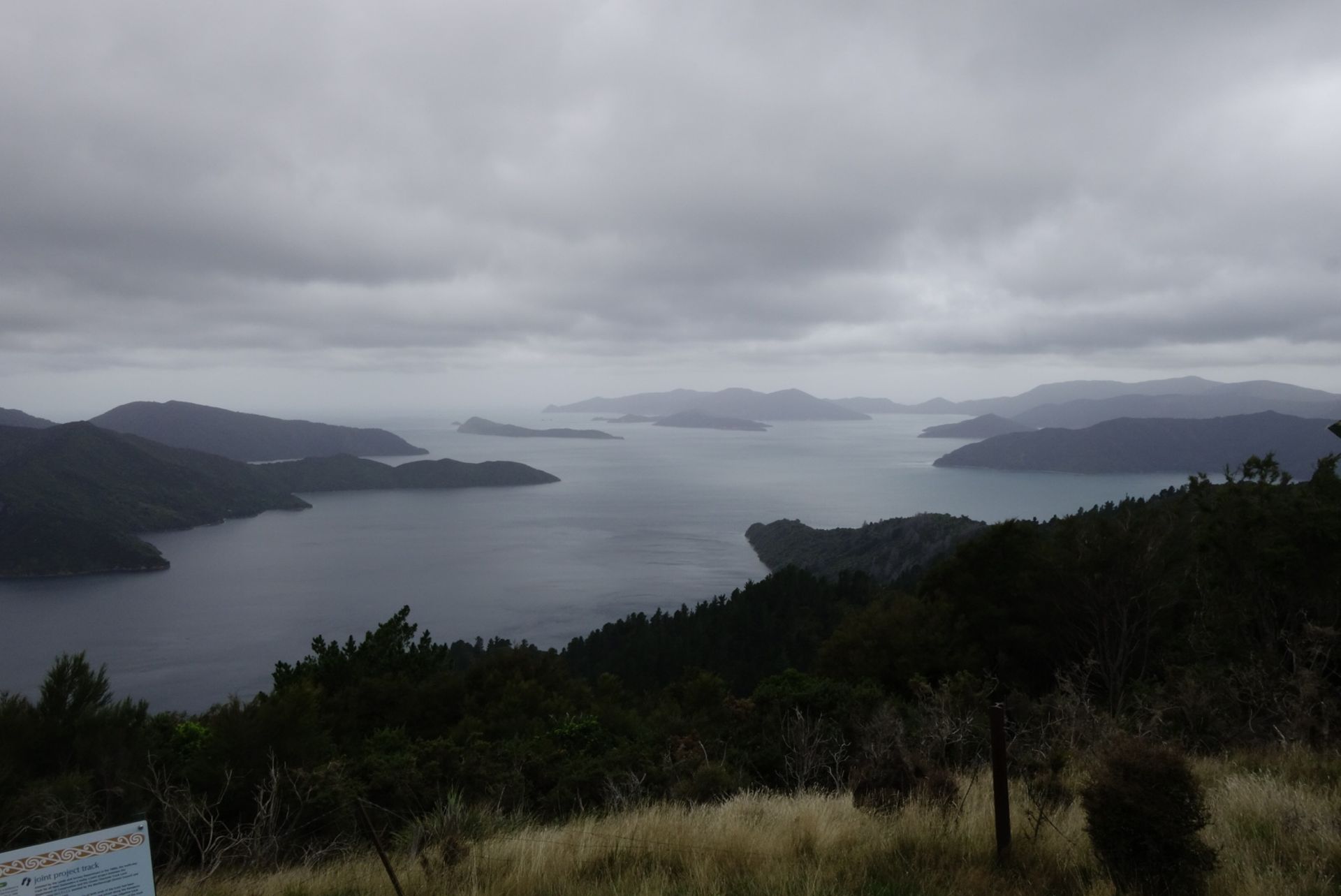
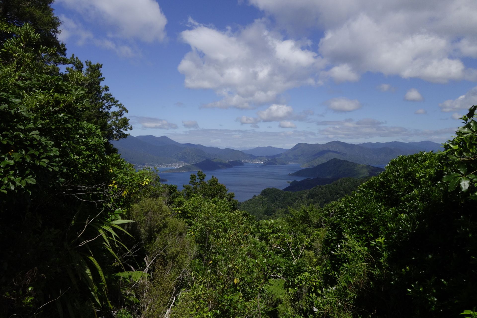
Afterwards, the next point was the Kenepuru Saddle, which could be reached via a 1.2 km short climb. We thought we would walk(!) instead of ride, and we put that into practice. When we reached the top, we hadn't reached the highest point of the track yet, but we had come a good distance closer to our tent accommodation; only about 8 km separated us from it. We made good use of walking most of the way, only downhill did we get on the bikes :) A highly recommended viewpoint and at the same time the highest point of the track at 467 meters above sea level was the Eatwell Lookout. Really cool, this 360-degree panorama!
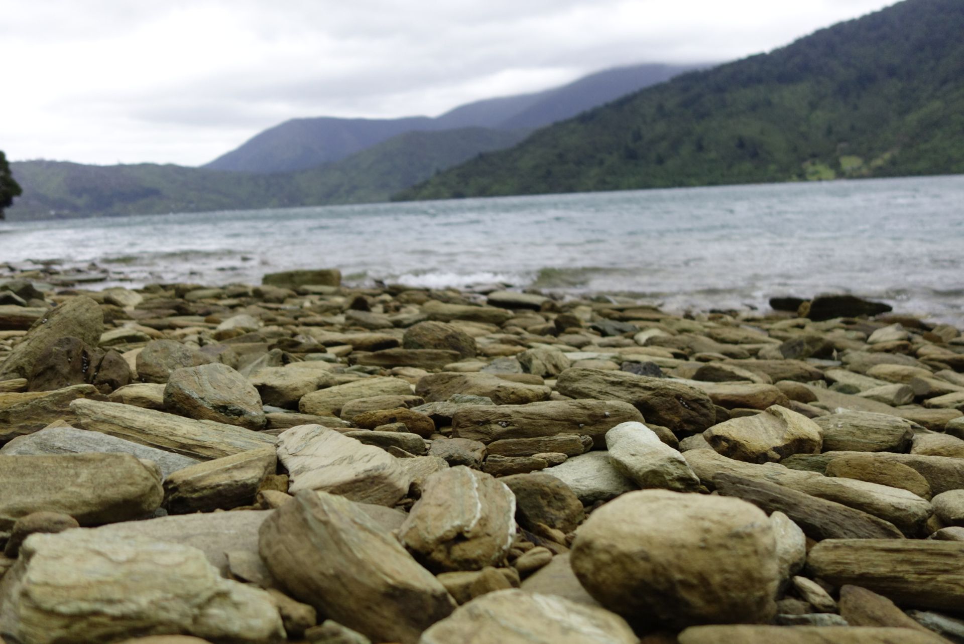
We finally reached our campsite shortly before 7 p.m. We covered almost 35 km, and we could no longer really sit on our saddles, and we no longer had the strength in our legs for climbs. A Weka visited us at the tent, wanting to scrounge again. We were there all alone, a bit eerie but also luxurious.
The next day, we set off around 10 a.m. The previous evening, we had already booked the water taxi for 4 p.m. at Torea Bay, about 20 km before Anakiwa... Oh yes, we were simply too exhausted to ride all the way to the originally planned destination... So, from Bay of Many Coves Campsite to the wharf at Torea Bay, we only had 15 km ahead of us, very doable even with depleted energy reserves! Along the way, we were rewarded with great views again, and we fed a Weka with the leftovers of an avocado :-D. The last kilometers were particularly notable, as they went steeply downhill, a really cool downhill feeling! That was lots of fun!
We finally arrived at the peaceful wharf at 2 p.m., the sun came out, and we wanted to relax. But then a school class arrived with a lot of hiking equipment, they had a lot to carry, and a boat full of wedding guests. A wedding was taking place at the nearby Portage Resort. The guests were very cheerful, so instead of peace, we had a lot of entertainment! One person's cap blew into the sea, and he decided to jump into the water with his clothes on. That's how legends are born, more or less! Since there were not enough means of transportation, two people also rode in the back of a truck loaded with suitcases. We don't know if the two of them survived the switchbacks... But wedding attire can easily be worn at funerals too... Maybe next time we should wear that instead of gel cycling shorts, or eat a lot before the next tour so that more malleable volume can caress the saddle!!
न्यूज़लेटर दी सब्सक्राइब करो
परता