
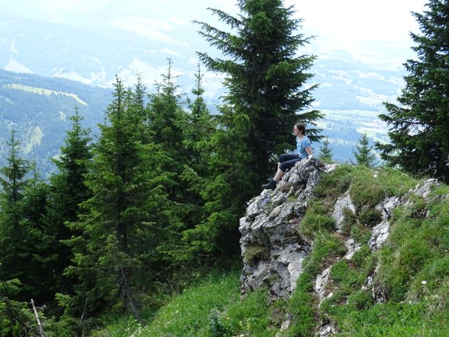
July 11th: An eternal day - and my 100th entry!
प्रकाशित कीता: 22.07.2020


Thanks to the campsite, I slept relatively well, so I could start this long day today.
Trollstigen (B)
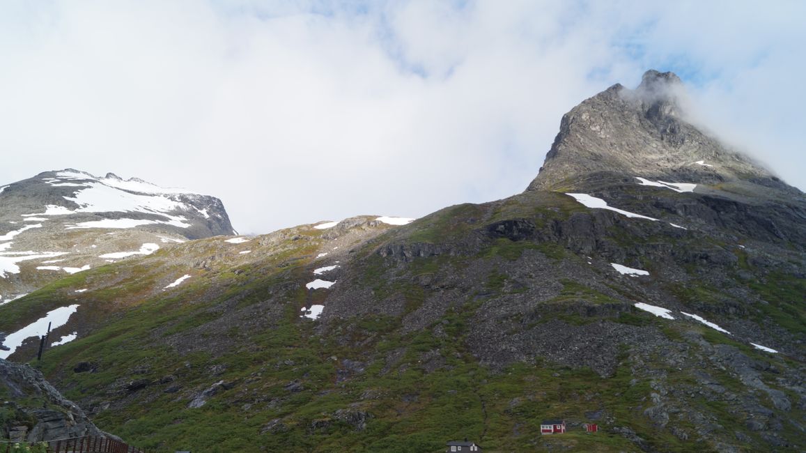
I left Isfjorden at 7:15 AM and after a few minutes I was at Trollstigen. The serpentine roads were manageable and at one point I crossed a small bridge over a waterfall. But the truly amazing view was only from the viewpoint, where I - like on the road - was alone.
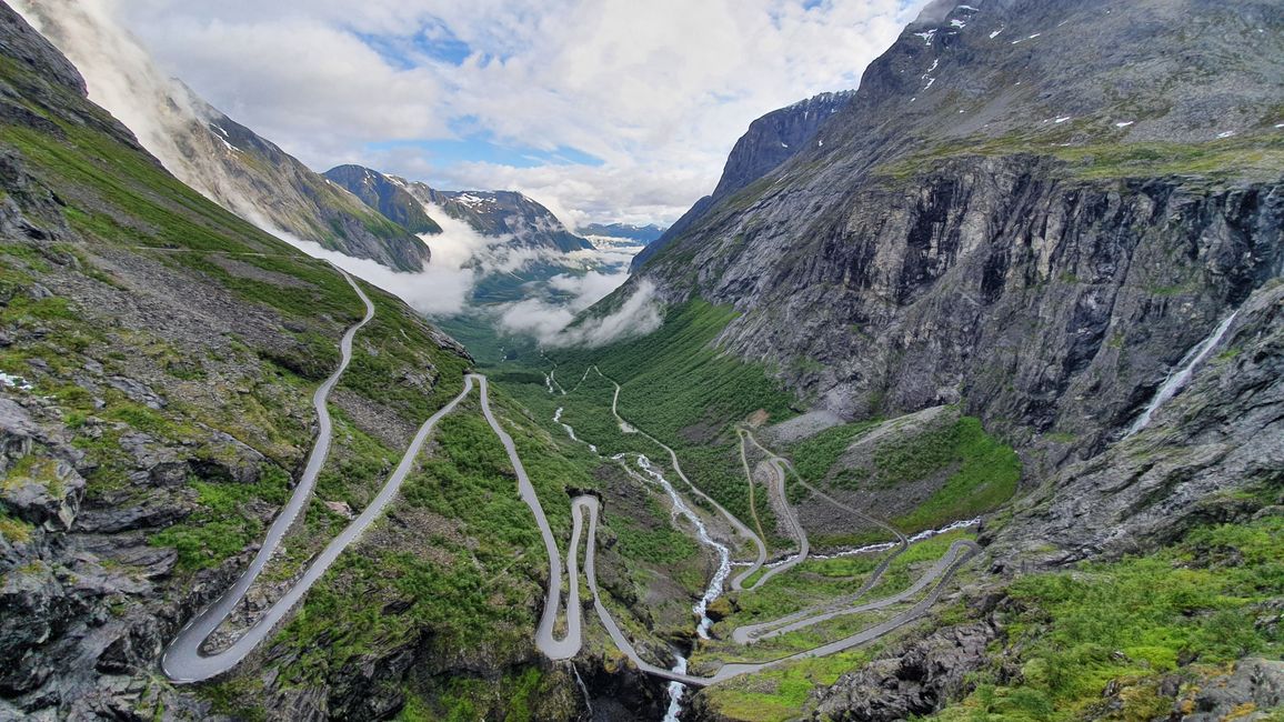
That's unusual because it was Saturday and many Norwegians are currently traveling in their own country or taking a weekend trip. But it allowed me to enjoy the awesome view all by myself. Not only was the road beautiful, but also the surrounding mountains, named Trolltindan ("Troll Peaks", 1795 m), Bispen ("Bishop", 1450 m), Kongen ("King", 1614 m), and Dronningen ("Queen", 1568 m). The descent to the valley was 852 m.
Andalsnes is nearby, which is the hub of Norwegian mountain sports.
Geiranger (C)
Geiranger is super popular for cruise ships and is considered the prototype of Norwegian fjords. The drive there was also quite impressive, with tall mountains on both sides, some still covered in snow, and insights into other valleys characterized by spectacular rock formations. The only ferry I had to take lasted only 15 minutes, but the village of Linge was spectacular: peaches and apricots still ripen here, making it the northernmost place where East is still cultivated.
Before reaching Geiranger itself, I stopped at the "Ørnesvingen" (Eagle's Bend) to take a photo of the famous view of Geiranger. There were already more people here, but not too many yet. Further serpentine roads, this time very narrow, led me to Geiranger, a small town that is entirely focused on tourism. My path along the waterfall passed a crowded campground where people were just getting up. The waterfall was spectacular and I actually wanted to hike for two hours to its source, but then I decided against it so that I would have more time for the mountain passes - it shouldn't get too late there, otherwise you could have problems with summer tires.
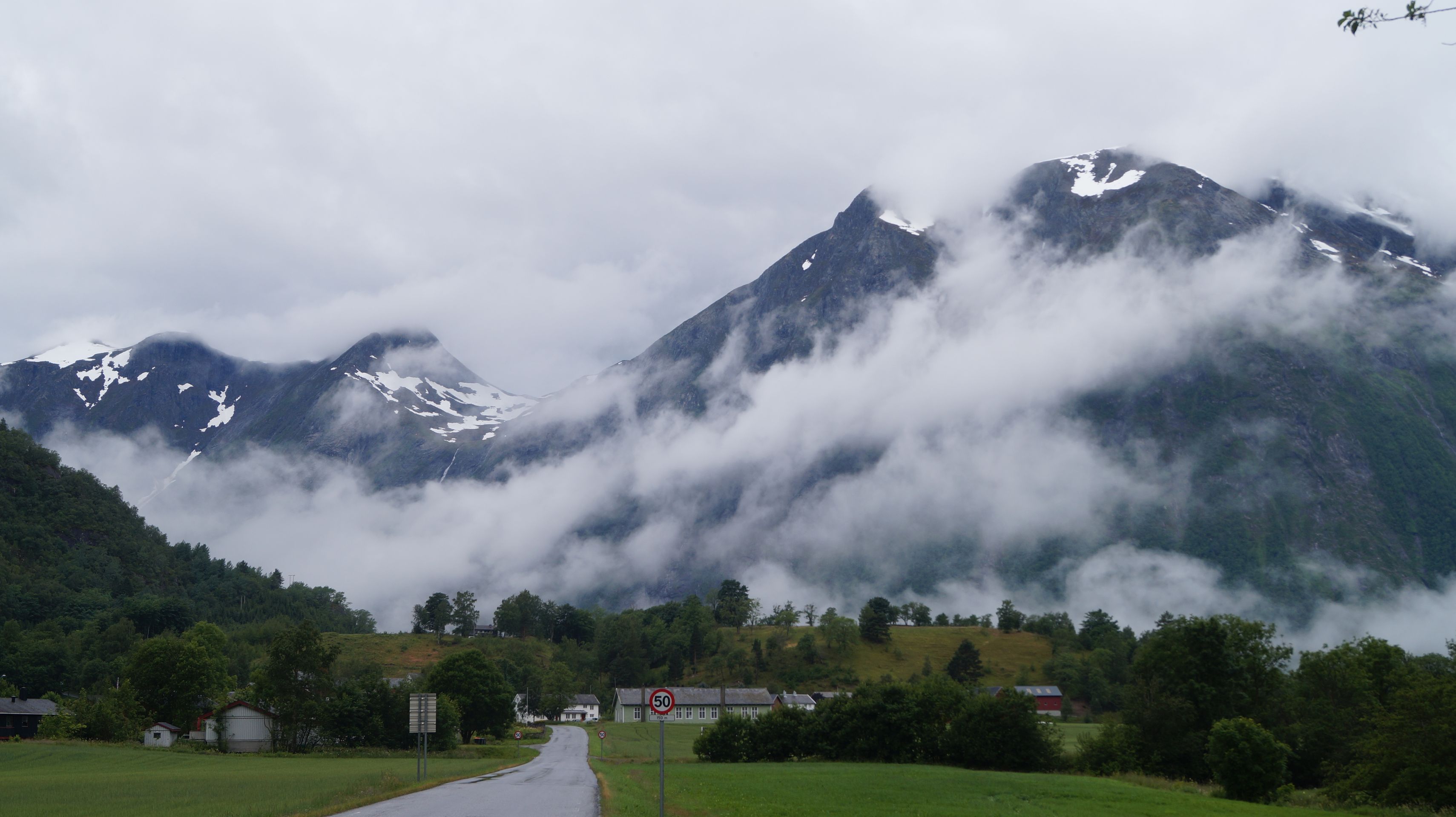
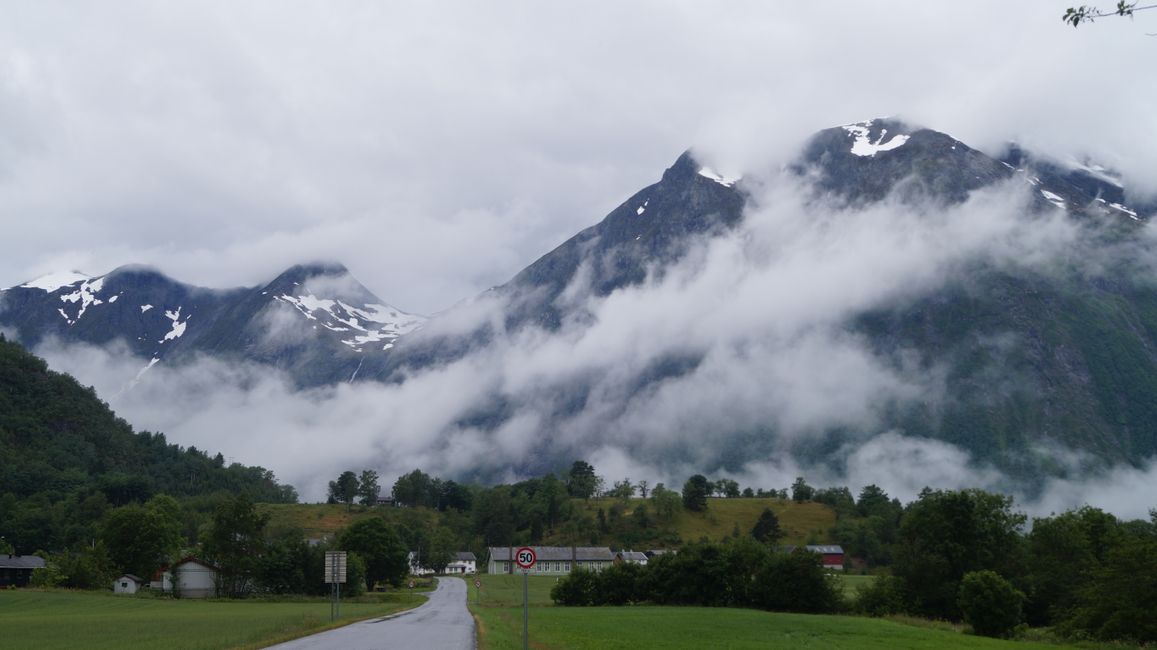
Gamle Strynfjellsvegen ("Old Stryn Mountain Pass") (D)
After Geiranger, I drove up serpentine roads again and through more spectacular valleys and many tunnels. After Bismo, there were two route options: through tunnels or over a mountain pass. I chose the route that was signposted as Turistvegen (Tourist Road). It went up again in serpentine roads, then I met sheep and dense fog set in, so that you could only guess the surroundings and the high mountains. At some point, the road changed into a path that had been spread with so much gravel that it was now half gravel road and lined with boulders, of course where there was no snow. Because the snow piled up to 3 meters by the roadside even in July. I would have liked to take a picture of the car in front of it, but there were places where the snow had already broken onto the road and I didn't want to take any risks because the road was narrow - by the way, it is only open for a short time in summer. In the convoy, I passed beautiful lakes whose water shimmered bright turquoise from the melting snow, and next to them were rocks that were half hidden behind clouds. I was quite happy when I finally left the pass and was back on a normal, wide road, and my respect went to those who drove this road with vintage cars (e.g. an old Citroën 2CV).
Sognefjellet ("Sogne Plateau"), Norway's highest mountain pass road (E)
I drove about 100 km to the east, through the town of Lom, which is also known for mountain sports, and then I turned towards the Sognefjord. The Sognefjellet is also a Turistvegen, but the road was much better developed and only open in summer. It led through spectacular valleys and in the end it went a little through the Jotunheimen National Park, where musk oxen also live, but not in the part that I drove through. Instead, I passed Galdhoppigen, the highest mountain in Norway. And I reached the Sognefjellhytte, which is located at 1440 m and the lake there was still frozen. Quite unusual for July, some Norwegians were still cross-country skiing there and there were also some snowball fights. Other 2000m mountains lined the road, before it slowly descended towards the Sognefjord again. I passed Breheimen, the home of the glaciers (literally translated).
Glaciers (F)
Actually, I just wanted to drive to Dale, but I saw these glaciers by the roadside, so I just had to drive there. The first one was Supphellebreen, whose ice was also used for the podiums of the 1994 Winter Olympics, the other (more beautiful) one was called Bøyabreen.
Dale
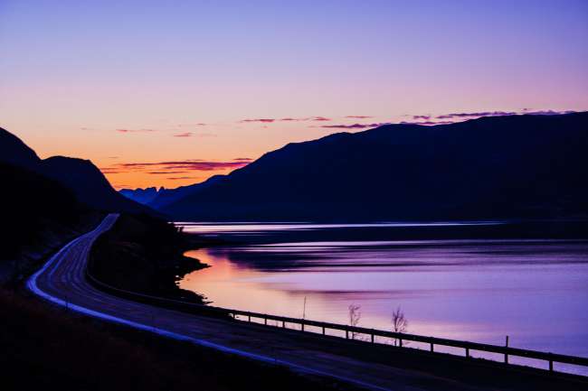
Finally, at around 7:45 PM, I arrived in Dale, after about 500 kilometers and several hours of driving. Here I finally have a bed and a kitchen!
परता
यात्रा दी रिपोर्ट नार्वे ने दी ऐ।