tap six: trafoi - madonna di campiglio
Cyhoeddwyd: 05.09.2021
04.09.2021
I THOUGHT WE WANTED TO HIKE!?! and THE LOVELIEST STRANGERS OF THE WORLD
This morning we had to pinch ourselves a bit. But nevertheless, we had a relaxed breakfast and once again enjoyed various delicious provisions. Shortly after 8:00 a.m., we took a bus from right in front of our door to the neighboring village of Trafoi. The journey, however, was not long and we quickly arrived at the chairlift there. And we were even a bit early for this one.
So we waited a bit longer, as the lift was initially loaded with food for the hut on the mountain. On this occasion, we also asked again about our transfer. Since now three people, the bus driver, the lift attendant, and a person from the food department, told us that there are regular buses from the Stelvio Pass down to Bormio, we were relieved. Shortly thereafter, a young woman who works at the Furkelhütte and takes the lift up to work every day even came and called her boyfriend, who works at the Stelvio Pass, to check with him. And they both confirmed again that a transfer should not be a problem.
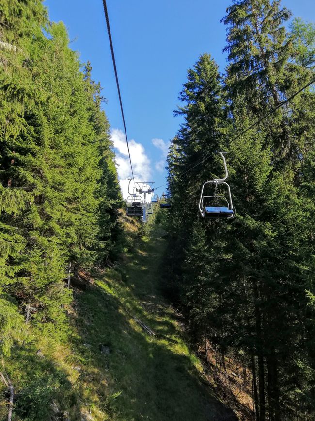
Then we finally went up with the lift through the beautiful morning sun and a beautiful valley.
At the top, we got ready for our hike and were just about to start when Sarah, the young woman from below, hurried after us and brought us a piece of cake for the day, so sweet! It really touched me.
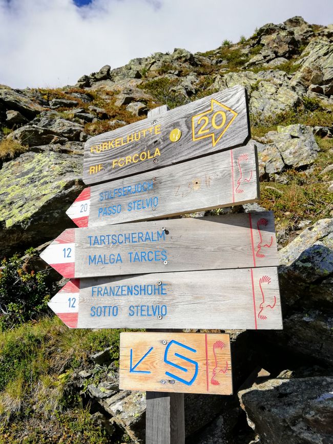
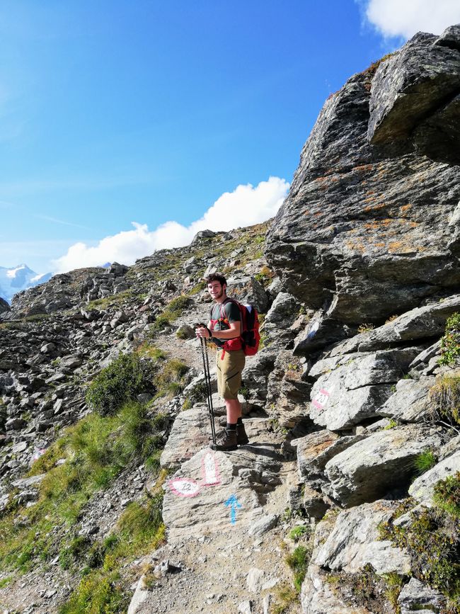
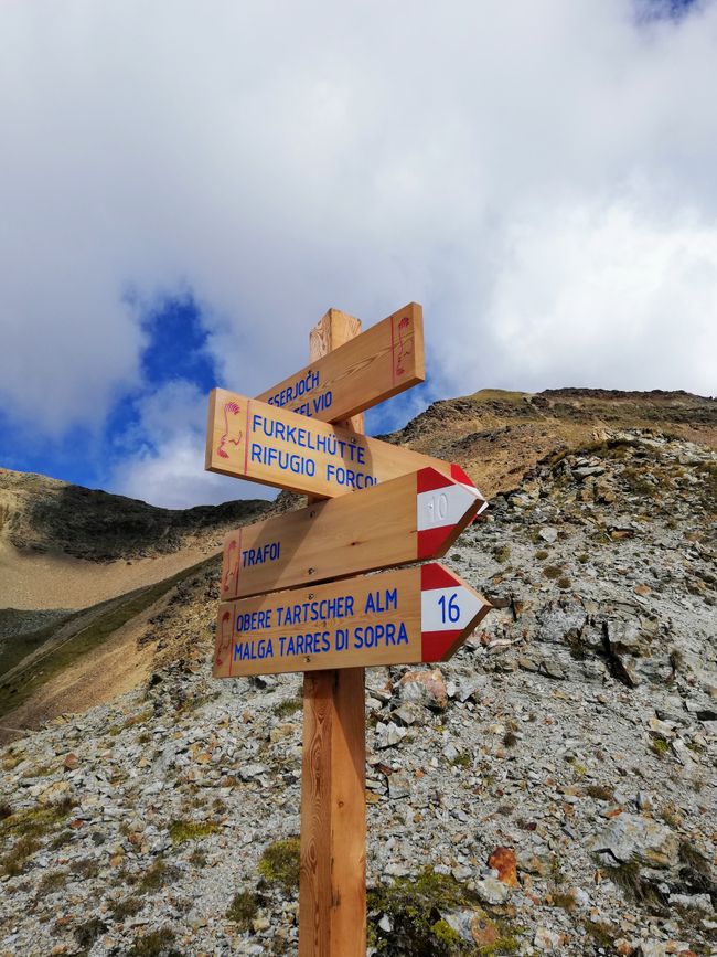
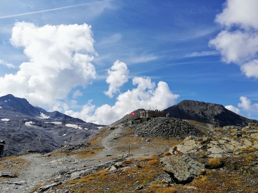
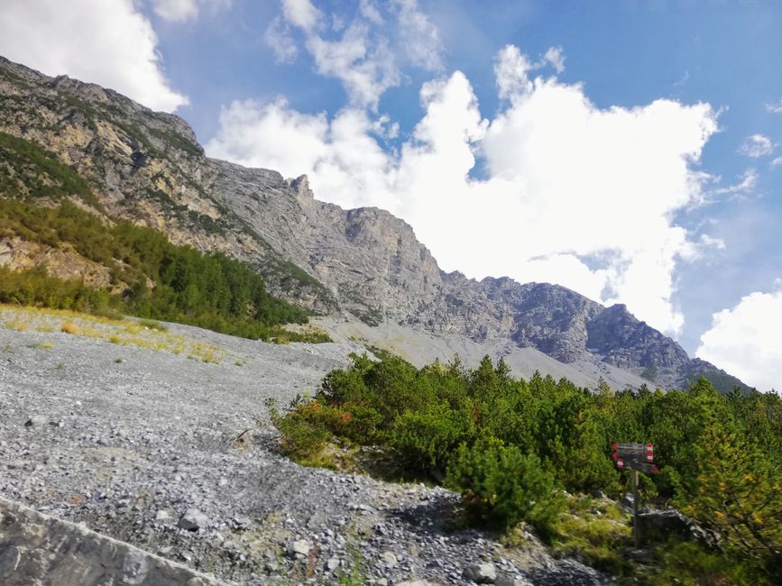
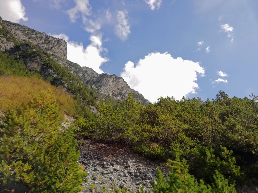
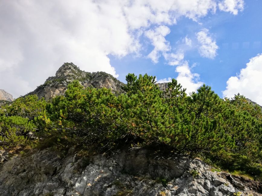
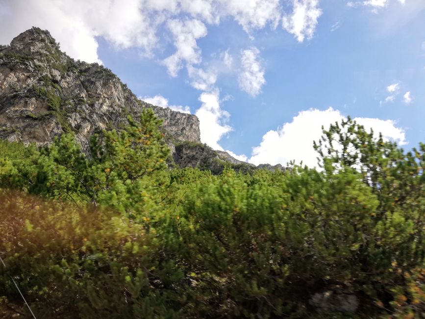
From the Furkelhütte, we went uphill through a beautiful forest and then slowly into increasingly rocky terrain. In between, we repeatedly came across remnants of the positions of the Italian front from World War I due to its strategically good location between the municipality of Bormio and the province of Bolzano, which was very interesting to see.
On this stage, we also encountered several mountain bikers for the first time, and Jo was practically twice as excited about the route - once for hiking and once for cycling.
Before the final descent to Stelvio, we passed the small 'Dreisprachenspitze', where Lombardy, South Tyrol, and Graubünden meet at the summit.
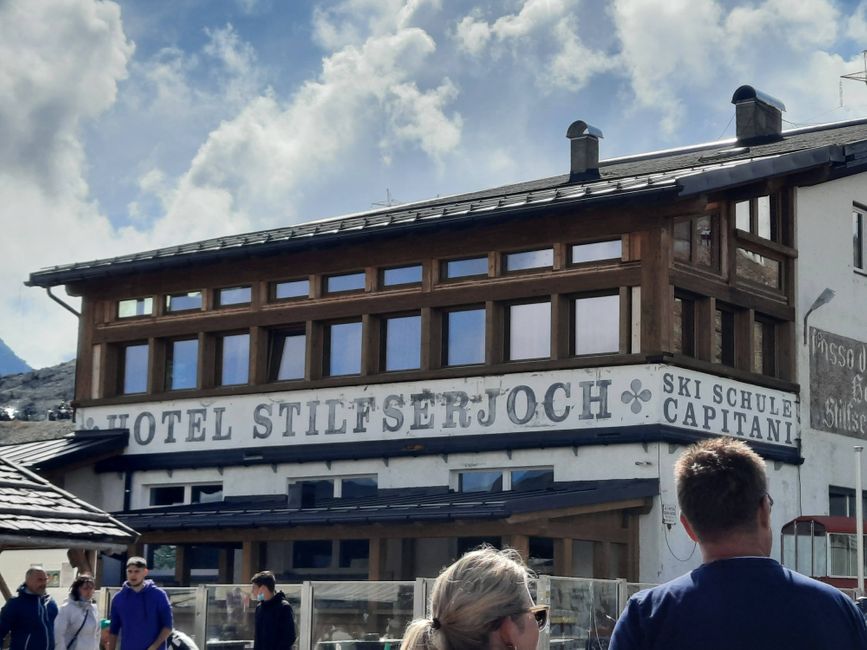
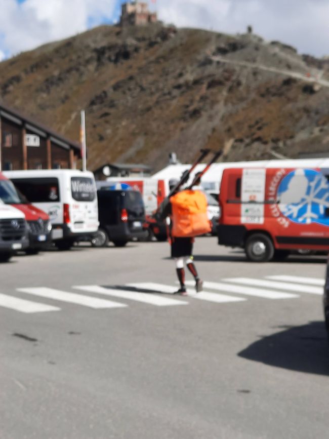
After that, we went down to the absolutely touristic Joch - really, really bad. Here, there were practically only bikers, souvenir shops, and, additionally, a commentator because of a cycling event. So we asked again about our bus, which fortunately was actually running, and then made our way to the bus stop.
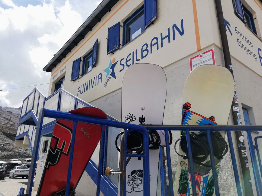
It was right next to the cable car that goes up to the glacier, where people in ski and snowboard gear come towards you, who are there with their ski clubs. Absolutely surreal when you're sitting next to them in a T-shirt and shorts.
With the first bus shortly after 12:00 p.m., we descended the pass to Bormio, where we inquired about further transfers. Everything sounded pretty good since the bus driver was able to tell us the next two stops towards Madonna directly. However, we had to wait for the next bus for quite some time and therefore had doubts about whether we would arrive early enough to catch the other buses. From Bormio, we first went to Tirano.
At the bus stop here, however, we had to realize that it wouldn't work out as we had imagined, as taking buses in Italy is really not easy. You can, in principle, get anywhere. But only with four buses a day, which makes a longer journey with multiple connections and transfers quite difficult. According to the bus driver and the information we received, we continued to Edolo. But since we had another longer break here, we decided to try hitchhiking - how difficult could it be? We quickly went to the main road with a sign, where an ski club bus would have taken us if it hadn't already been full, damn it. So we continued to try and after some time, a young woman came by who initially thought we needed to go to a closer place called Madonna, but offered to take us to a place where more people pass by who need to go where we need to go. She took us for about 10 minutes, and she was also very open and gave us some tips for the way and even offered us water.
When we arrived at the new stop, we had some hope again, but after a short time, we realized that not many cars actually pass by here. So we quickly had to decide whether to gamble on hitchhiking all the way and not knowing how far we would get, or to quickly walk back to the bus station in extremely tight time and hopefully catch the bus. We then opted for the latter. On the way, we repeatedly hitchhiked, but it didn't really help. After all, practically everyone had to go through Tirano who was driving on the road... Until - finally - a young couple came and took us the last kilometer, otherwise it would have been really, really tight for us.
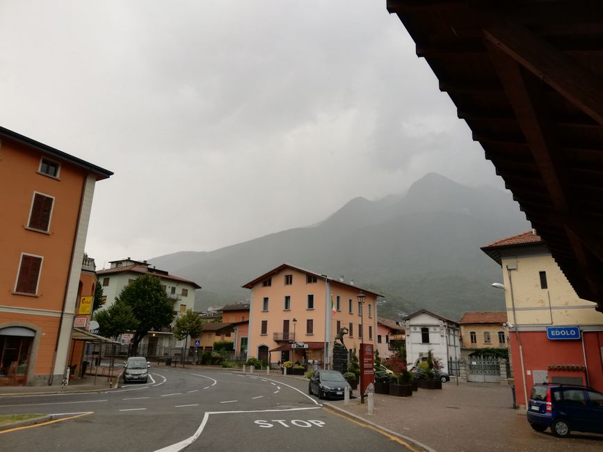
So we continued by a minibus to Edolo, from where we were supposed to continue to Passo del Tonale. Luckily, we were sitting dry because it soon started to rain quite heavily for the first time. We knew, of course, that we wouldn't catch another bus from Passo del Tonale to Madonna - the taxi was already planned.
But at the next station, we also found out that the bus we thought we could take wouldn't even drive up to Passo, but only to Ponte di Legno. We were really getting fed up slowly. But hey, at least the bus drivers here in Italy are super friendly and helpful, and everyone tried to assist us on our journey somehow.
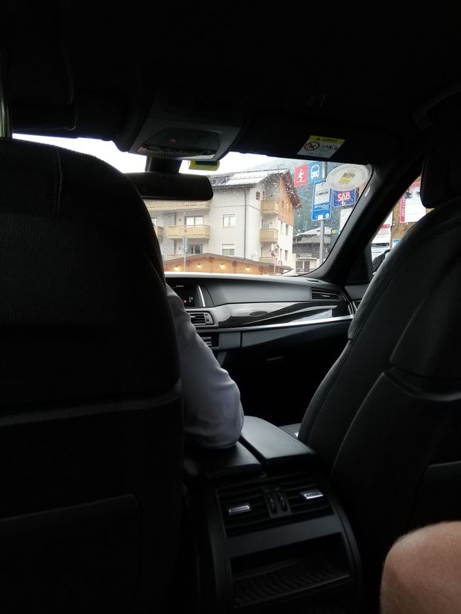
So from Ponte di Legno, we took a taxi to Madonna. A whole 57km, ouch... That was more than we would have liked, but somehow we had to get there. The good thing: the taxi driver was very nice and friendly, and at least we were sitting in a fancy BMW and the view was nice too.
Finally, when we arrived at the hotel, we were really exhausted and tired, which was a bit of a shame because the hotel was really beautiful, stylish, and modern, with a sauna, swimming pool, gym, a good restaurant, and lots to explore. But we just wanted to shower and go to bed, which was already a challenge in our apartment with three beds.
So let's sum it up: Plan the transfer 1 to 1 in advance - or just skip it altogether. What a day.
Still, as always, a summary
2 hours 50 minutes (including the lift ride)
10.3 km
1,240m ascent, 90m descent
2,900m maximum altitude
1,680m minimum altitude
Ateb
Adroddiadau teithio Eidal

