Hiking in Spain
Cyhoeddwyd: 17.11.2023
Tanysgrifio i'r Cylchlythyr
Despite several glances at the map and our GPS device, we initially had completely wrong ideas about nature in Spain. That sounds a little strange, but I didn't notice on the map that it was so mountainous.
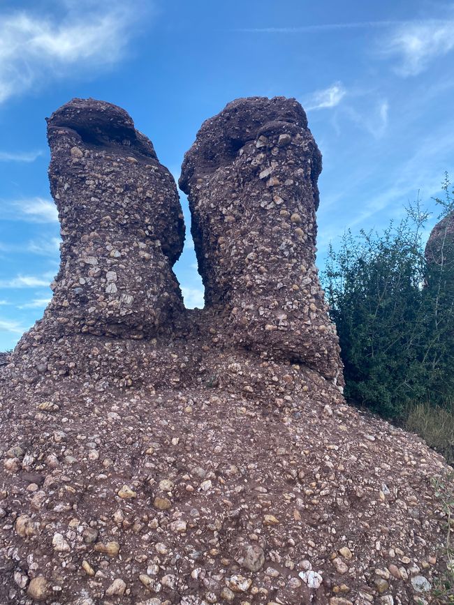
We started with the Pyrenees and on the way south there is one impressive mountain range after another, many different types of rock and always a new discovery in the landscape, be it the city on the rock or the barely accessible castle.
I was a little naive about it, because in France and Italy there are regions that don't have any designated hiking trails, but here there are all kinds of them. That's a great thing for us, because the apps don't show everything.
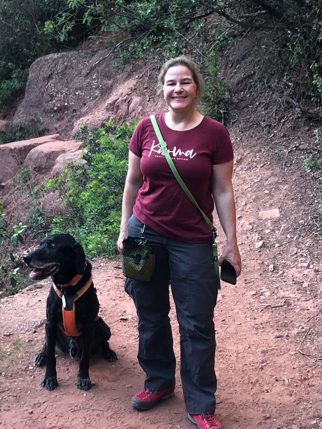
I should also mention that we work with hiking apps, because Rother is often a little too ambitious for me, I don't need 1000 meters in altitude. This is sometimes difficult here because the mountains here are so tough that a Hochgern or Geigelstein cannot keep up. When I look, I tend to look for hikes with a low elevation gain, because there is a little special feature here that you should know. If a hike in Kommot and Co. in Spain is classified as moderately difficult, the DAV would be HARD in the signage. There can be places for climbing, stones that you really have to climb, ridge hikes, paths on the edge of rocks, etc., which are usually not even considered worth mentioning by the apps. So it's better to look twice and in an emergency, if it's too steep for Nerone, it's better to turn around or take the other route, because there's usually a lot to choose from here.
Today we were in Miravet and took a nice hike from the castle to the surrounding area. The only downside was that we didn't use the river ferry because it would have been really fun. Please remember the siesta in Spain, because many shops etc. do take a lunch break.
I have one more tip: there are a lot of mosquitoes in the Ebro Delta and of course on every river in southern Europe, so pack mosquito repellent in addition to sun protection and ENOUGH water!
Tanysgrifio i'r Cylchlythyr
Ateb

Adroddiadau teithio Sbaen


