Through the center of Germany
Publikováno: 18.05.2020
Odebírat novinky
My original plan for 2020 was:
Quit my job and enjoy a complete summer: travel a lot, experience Berlin in the summer.
Originally planned were an Easter vacation in Andalusia,
a bike tour to Riga,
a sailing trip in Croatia,
summer vacation in Georgia (a second attempt, after we couldn't realize the plan last year because of my accident), and finally
a minimum 2-month trip to Peru and Bolivia together with Anna, after she graduates from high school.
Well, I quit my job: after over 11 years, I had my last working day at the end of March. However, the timing couldn't have been worse in the last 75 years, thanks to Corona! Well, Spain didn't work out and the bike tour can't take place either. Also, since March all borders are closed and tourist accommodations have long been prohibited, even within our own country.
So I decided to buy a mobile home: we sold the last one in 2014 and it's time again. Plus, nobody knows what you can do when and where. Easing of restrictions is slowly starting now, and with a mobile home, you're independent, flexible, and self-sufficient.
But even with a mobile home, you're not allowed to leave the country, so where to go? The question was quickly answered: the green belt had fascinated me for a long time, but how can you travel it? It's too hilly for a bike, and riding a scooter immediately causes a herniated disc, so a mobile home is the perfect vehicle. We've been celebrating the fall of the Berlin Wall since 1989, but that's only the smallest part: not only Berlin, but all of Germany was divided, and in such a way that no one could even remotely cross this border who was not allowed to. In addition to Germany, all of Europe was actually divided at this point; and this crazy dividing line ran across our country, almost 1500 kilometers long. As a "Wessi," I had no contact with the GDR and the inner-German border.
Thankfully, after the reunification, the BUND took on this border and tried to turn it into a contiguous nature reserve and enable tourist use. Because the border ensured that nature could unfold undisturbed along a considerable length and 500 meters wide, the green belt is one of the most species-rich regions in Europe.
The tourist development didn't work out quite as well, at least there is very little literature about the green belt and it's not really a continuous path, let alone passable.
Okay, so once the mobile home was finally ready to go, I started. The goal was Ebmath at the Czech border. That may not be within Germany, but the GDR's border efforts apparently didn't go far enough for their Czech brother state and so they began to create the death strip on the Bohemian/Saxon side.
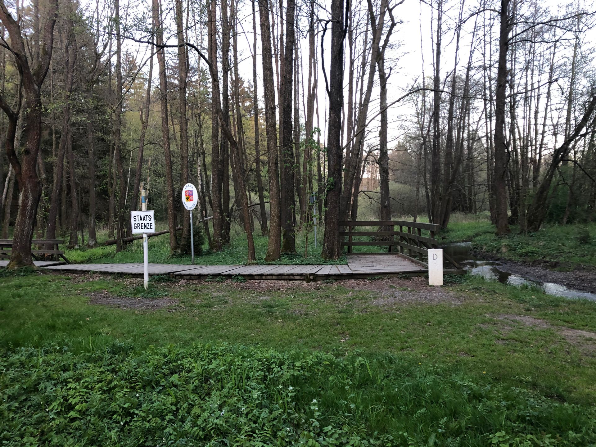
So I finally arrived in Ebmath after over 300 kilometers. The green belt was supposed to start here, behind the village at the border river to the Czech Republic. Well, Ebmath was a nice little hamlet, but of course you couldn't see anything of the green belt hiking/biking trail.
Instead, you come to the "border river," which looked like in the pictures.
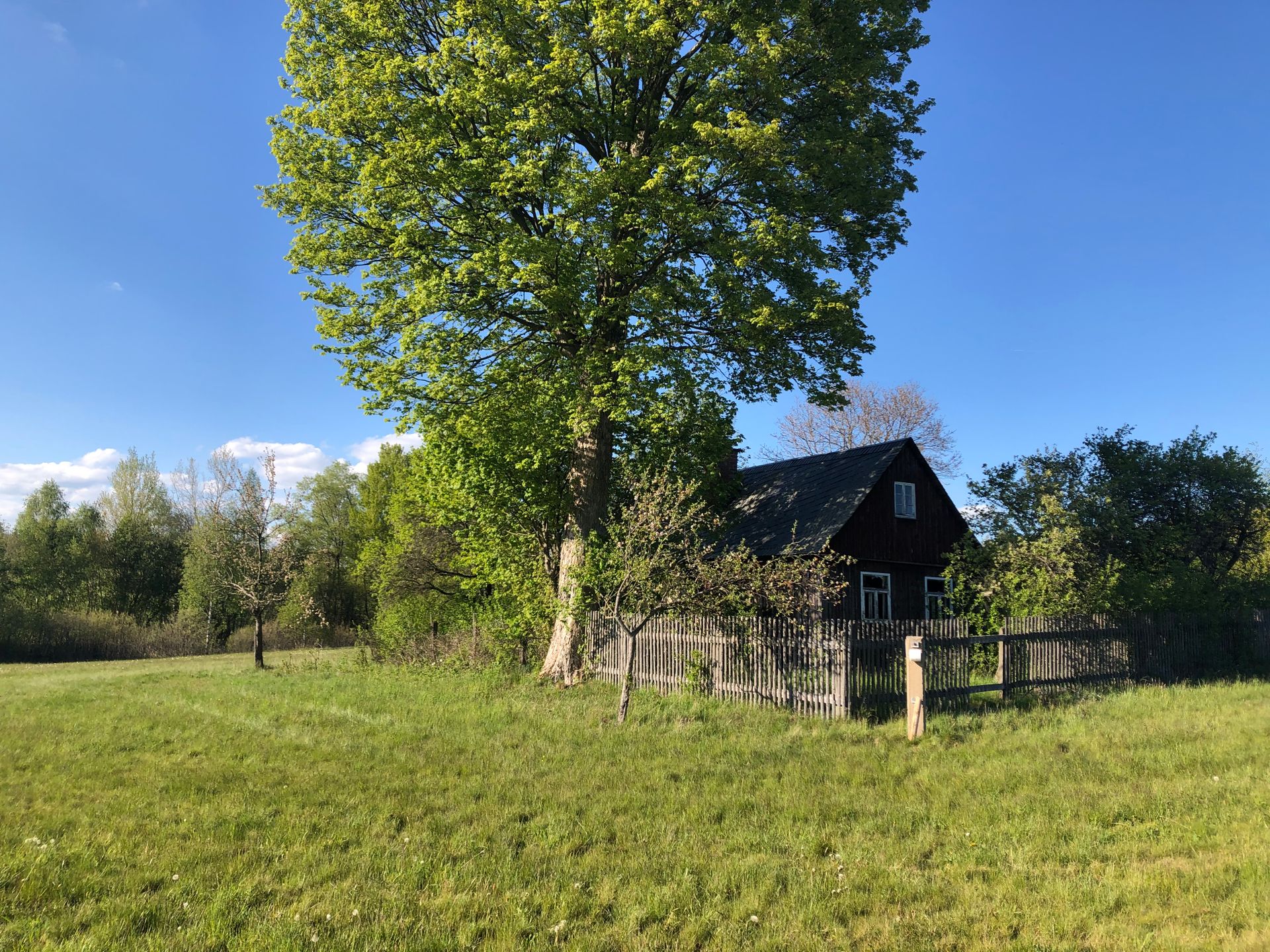
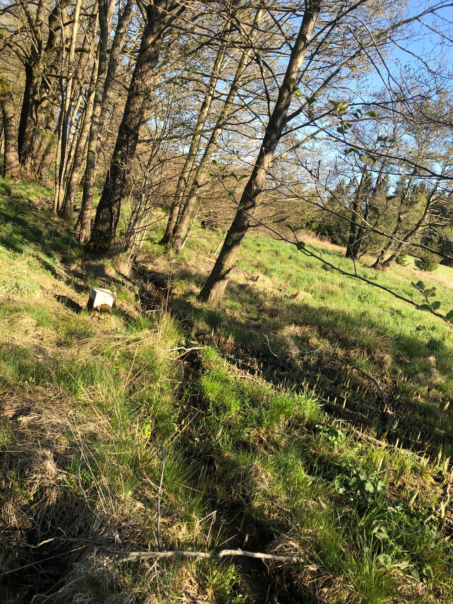
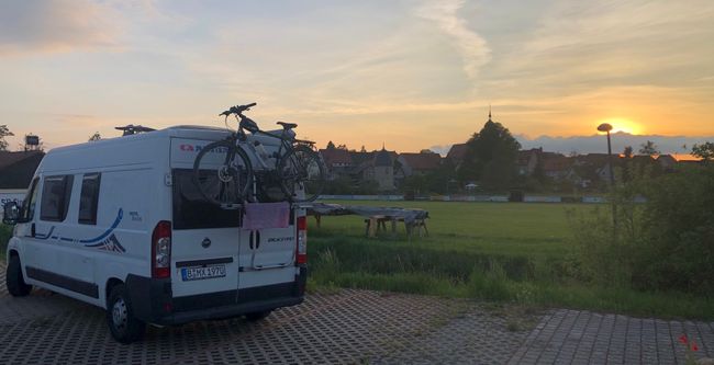
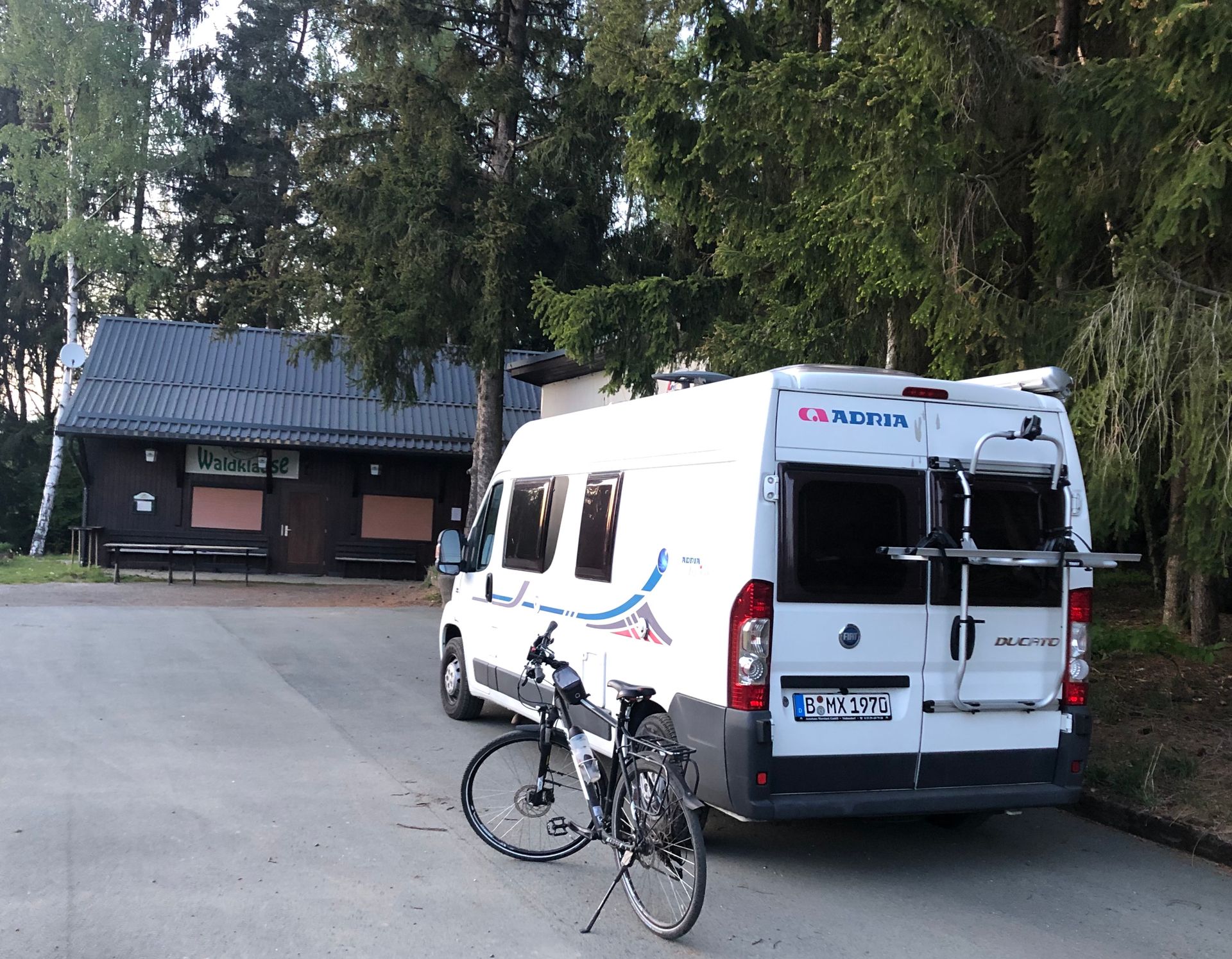 well, let's continue driving and look for a parking spot for the camper: I found one in Pabstleithen, in the parking lot in front of the Waldklause.
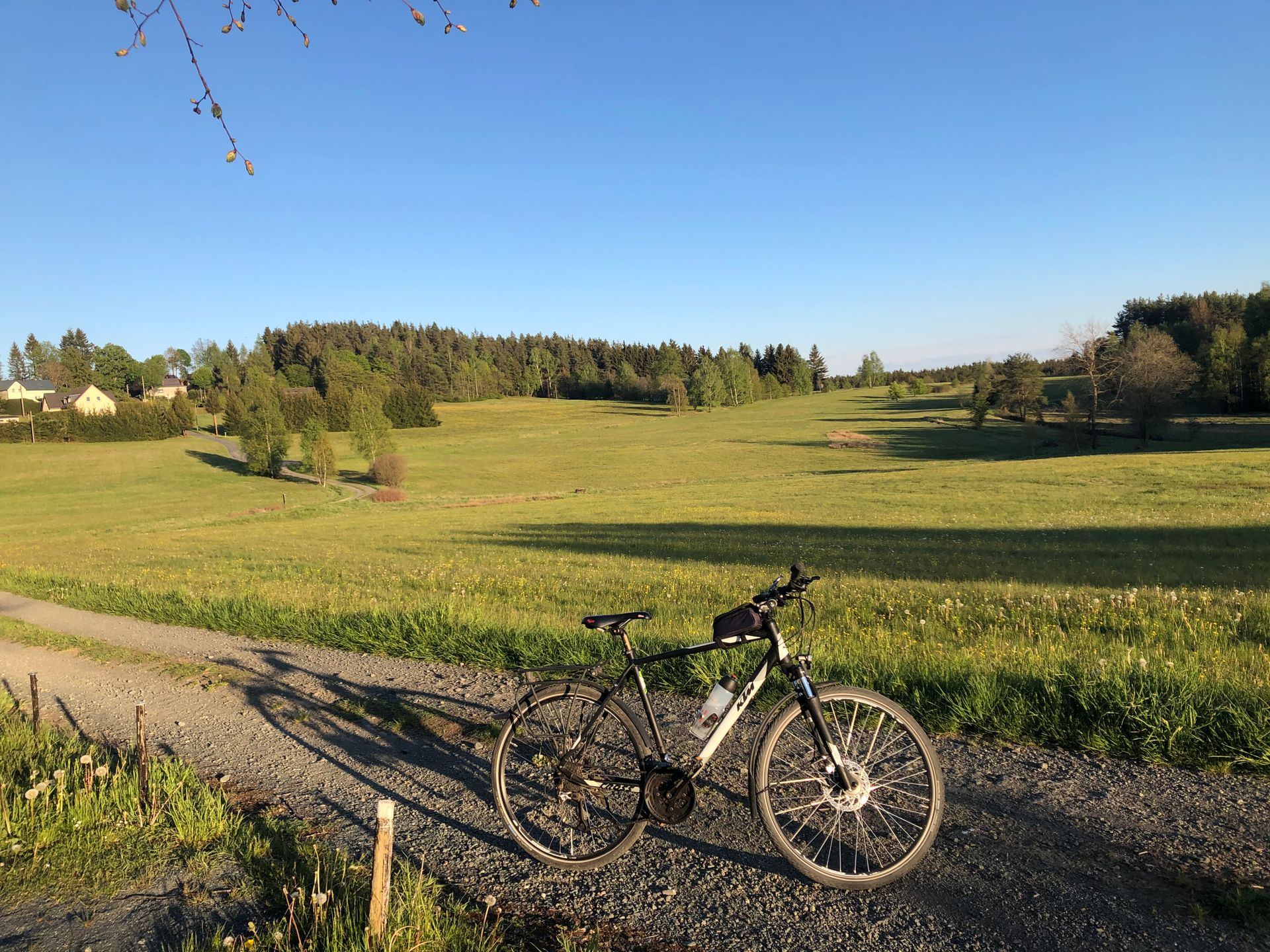
There I found a bike path:
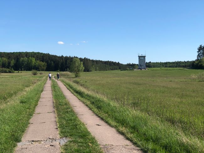
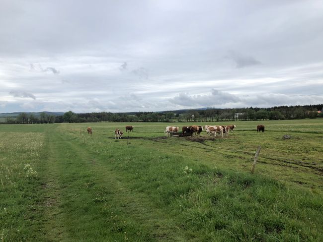
Idyllic, but it didn't look like a former border or death strip: small villages, gentle hills, and fields full of rapeseed.
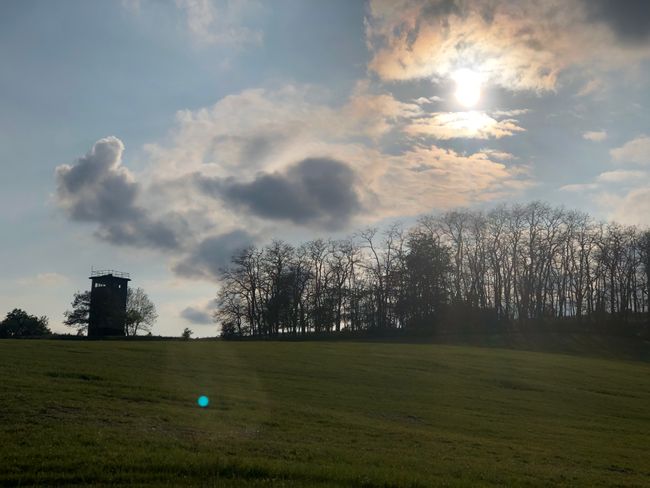
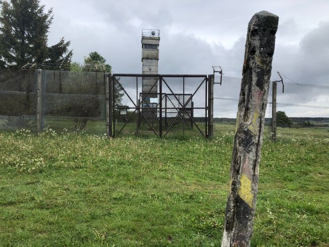
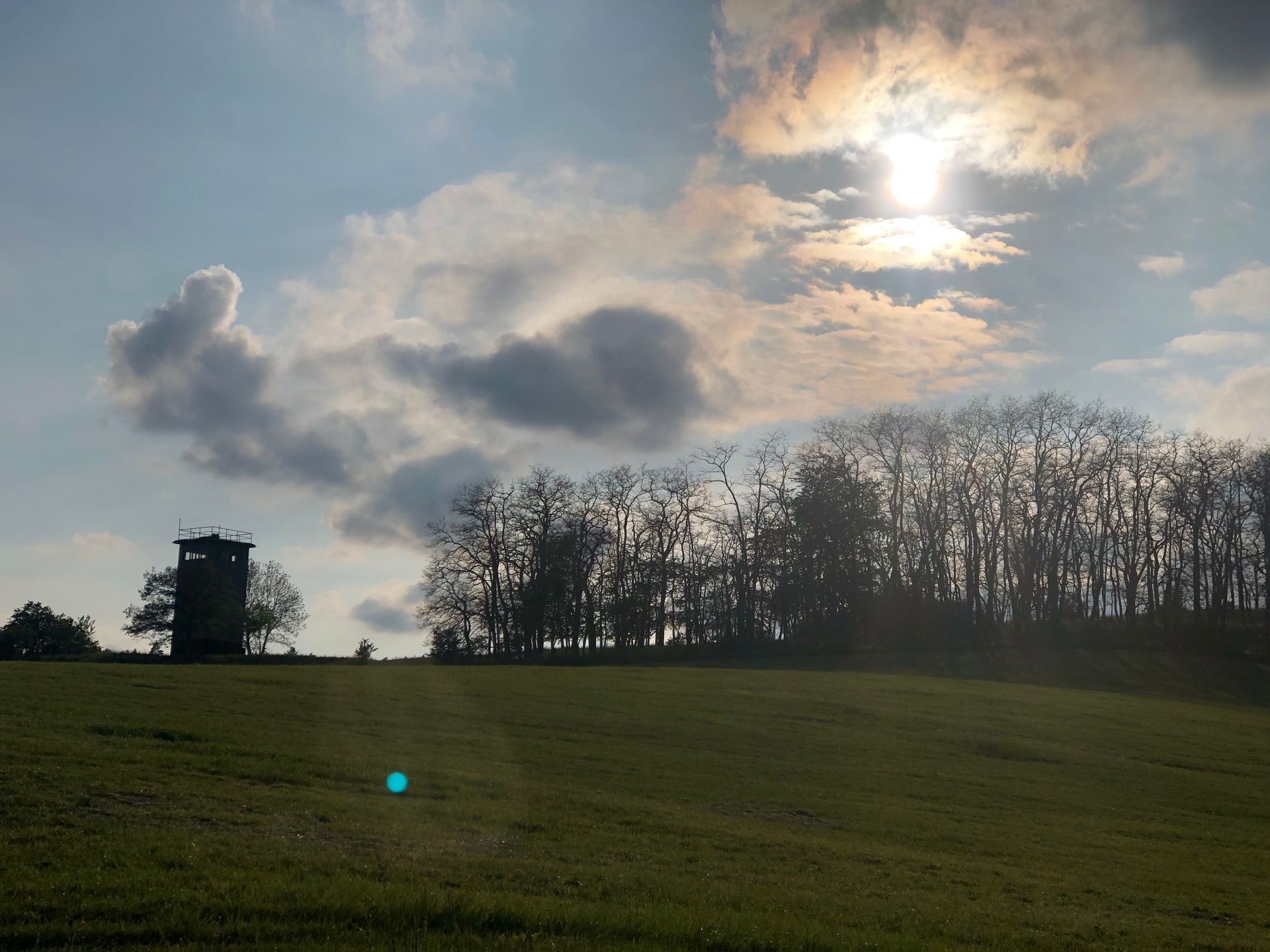
Only occasional memorial plaques, newspaper clippings, and border towers remind us that this used to be the most heavily guarded border in the world.

The bike paths and the federal states cross each other along the way. The border runs in a zigzag pattern and I quickly lost my orientation as to whether I'm in Saxony or already in Bavaria. Anyway, orienting myself by the cardinal directions will work, I just have to find my way back to the Waldklause where the camper is parked.
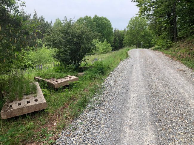
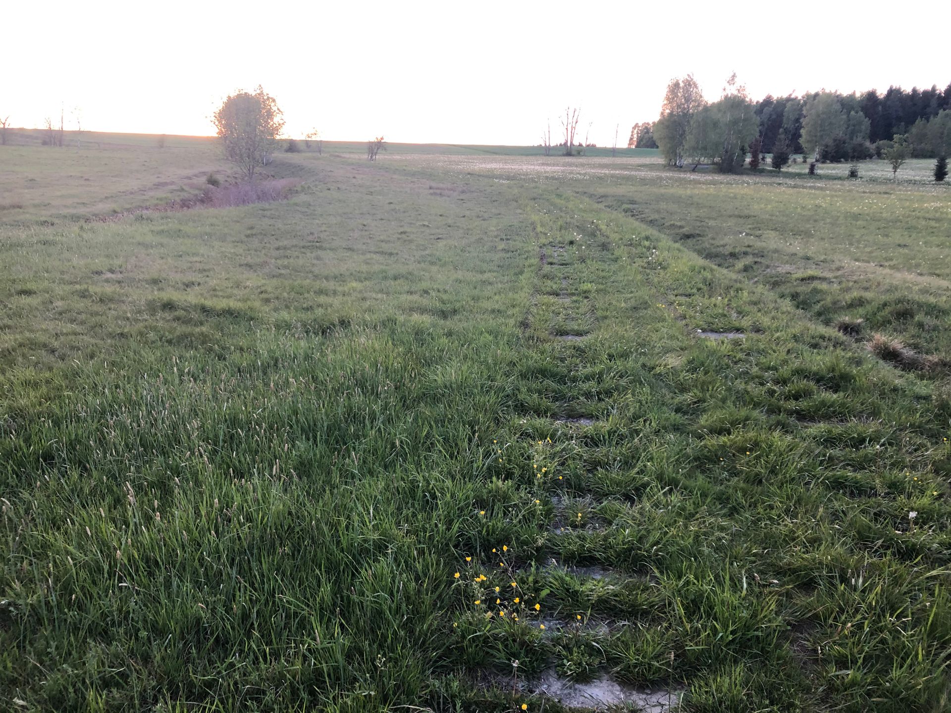
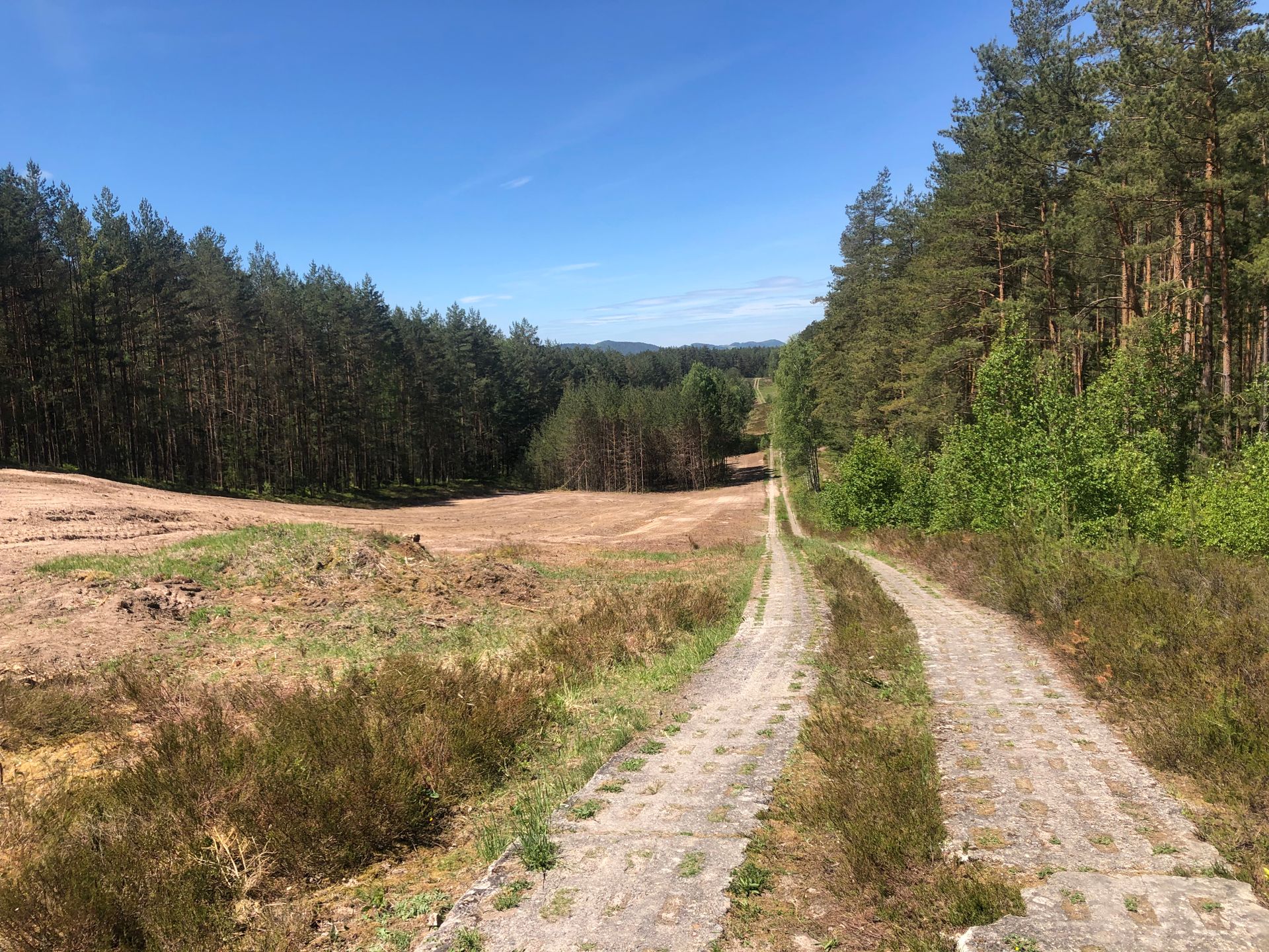
Suddenly, in the middle of the forest, I find myself at the triple border, and the way back went through the Czech Republic, which is actually closed. Fortunately, this wasn't in the forest, so I went back to Pabstleithen, quite off-road. After crossing the border again and returning to German soil, I saw it: the old security road, reinforced concrete on which the border guards patrolled back then, now quite overgrown but still there, not even 50 meters away from the path. The vehicle barriers are still there as well. Just a trench, one side of which was filled with concrete so that no vehicles could cross the border. Nowadays unimaginable, but not so long ago, when all of this was still in use. To prevent any "Vogtländer" from being tempted, by the way, over 50 farms were evacuated and demolished in 1974, they were too close to the border.....

Sunday morning, I set off for the next stage: Hirschberg was the goal. I parked the camper in the spacious parking lot behind the leather museum.
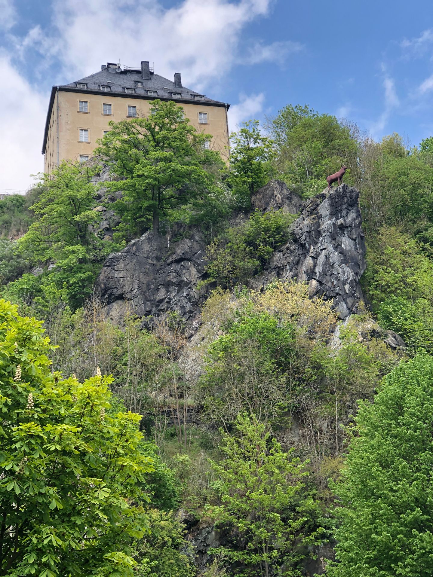
Hirschberg is a place on a large bend of the Saale river, beautifully situated. However, it wasn't beautiful during GDR times because the place was fenced off early, which led, among other things, to 500 West German employees losing their jobs in the local leather factory. Meanwhile, the Saale bend is part of the Saale-Orla hiking trail, which I took with my bike.
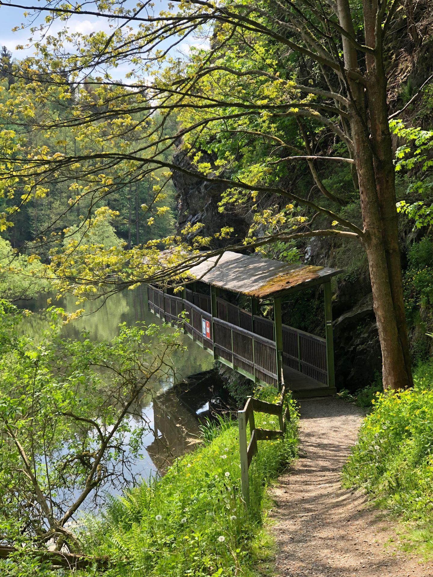

I wanted to go along the Saale towards Mödlareuth, which I did, although I had to push my bike a lot: very steep sections, rooty forest paths, and kilometers of security road with reinforced concrete. Still, an incredibly beautiful area. The first stage goal was Mödlareuth. I had never heard of it before; the Americans called this small village Little Berlin because it was also divided by the border: one part was in Thuringia, the other in Bavaria. Until the end of the war, this didn't matter much, but after that, the GDR claimed the eastern part for itself and built the border directly on the river that divided the village. This apparently had a strong attraction; during the time of Germany's division, 50,000 visitors annually came to visit Little Berlin, including George Bush, Karl Carstens, and even the Pope.
All of this is vividly documented in a museum that still maintains a part of the old border to make the madness visible.
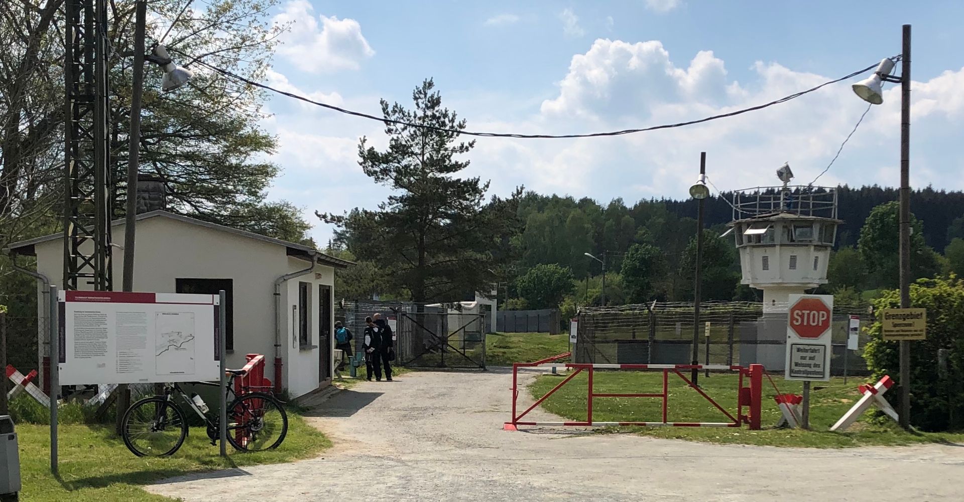

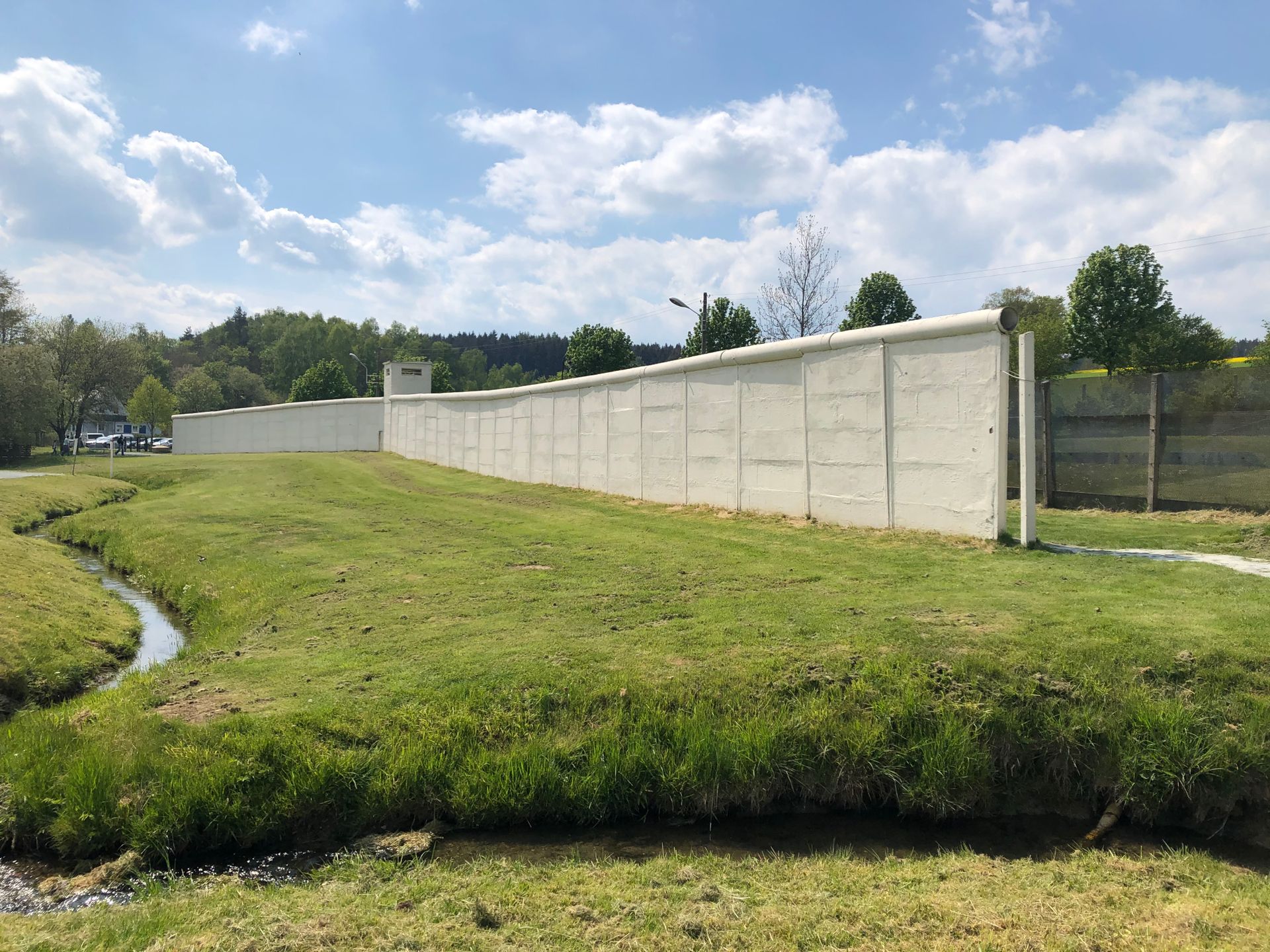
Afterwards, I continued along the green belt to Trogen and from there back to Hirschberg, luckily completely on bike paths and roads, no more reinforced concrete. The Three Free States Stone, where Saxony, Thuringia, and Bavaria meet, lies a little off the path.
If you're used to cycling in Brandenburg, the constant up and down is beautiful to look at but really exhausting.
It reminds me a bit of the Andes: you're on the road forever, but you don't make much progress.
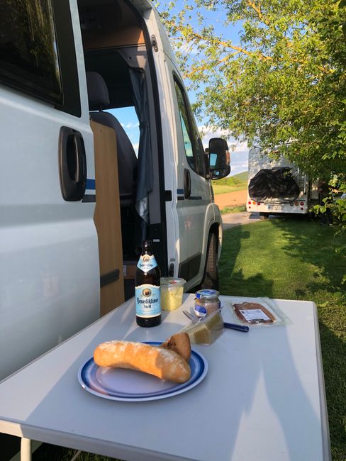
Arriving at the camper, cooking something delicious, and deciding to do another tour from Hirschberg the next day: continue along the Saale in the other direction to the legendary Höllental.
Said and done, the next day I set off after breakfast, passing an old paper mill directly on the banks of the Saale with quite a few inclines and descents, mostly on the security road. In between, I passed the hiking crossroads in Blankenstein, where 5 hiking trails intersect, including the Rennsteig. There is also an observation platform over the Saale valley near Pottinga, inviting you to take a break and enjoy the beautiful landscape.
And suddenly an old railway appears in front of me: the entrance to the Höllental. Unfortunately, the Friedrich Wilhelm Stollen mining museum was closed. Driving through the Höllental was another highlight: a 170-meter deep gorge with the Selbitz river flowing through the middle.


I turned around and went back to the camper. The fact that I always have to return to the car, so basically making circular tours, means that I make slow progress. So the afternoon was used for shopping and covering some distance. Next stop was Neuhaus Schierschnitz.
The path through the slate region is really great, but afterwards the area becomes more populated with a lot of industry, so no idyll here. So after three days, I decided to go to a proper camper parking spot. It’s good to refill water and electricity!
Tuesday, May 19:
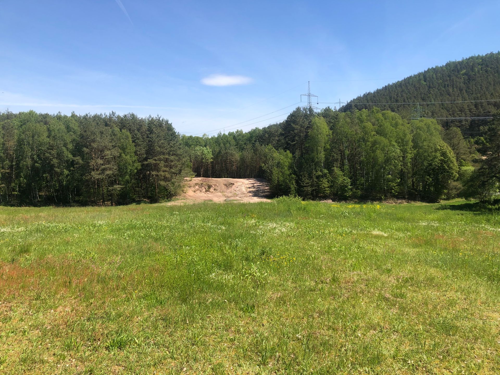
Today, it went to the border behind the small town Bächlein: it was no longer recognizable, I was in the middle of a meadow that separates Bavaria and Thuringia,
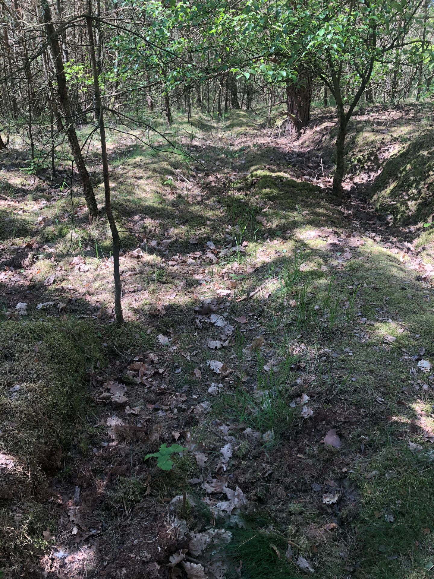
it led into a forest where the border strip could still be seen, but it's amazing how nature has reclaimed it, meter-high trees have grown along the death strip.
After some exhausting time, the security road became walkable again and was also signposted as a hiking trail, but like yesterday, a lot of up and down, which is not very pleasant with a bike.
In Liebau, I then made a detour to the more or less parallel bike path. Liebau showed again the absurdity of the GDR: a small village on the border that was supposed to be evacuated in 1952 and all residents were supposed to be resettled inland. However, the mayor found out about this and so the entire village decided to flee to the West, still on the same night. In 1975, the village was completely demolished, and now only a memorial stone recalls it, there is nothing left of Liebau.

Then I continued to the Froschgrundsee, across the highest mountain of the tour so far....
From there, I went back to the parking lot in Mitwitz, the longest stretch so far, about 70 km. Oh, by the way, I took a break in Neustadt bei Coburg, the ugliest city in Bavaria....
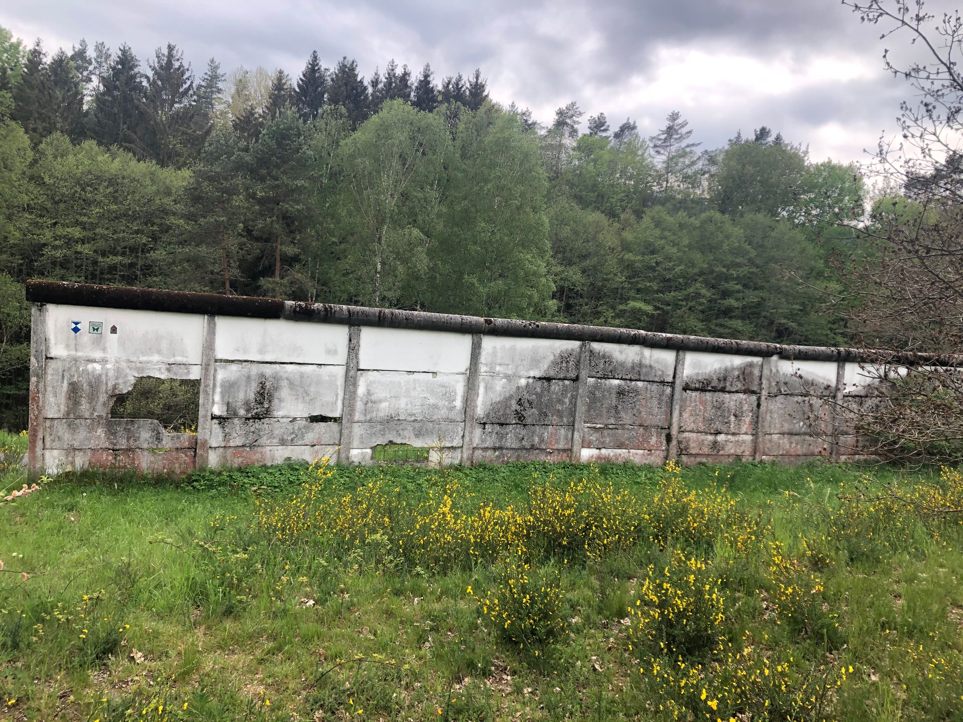
On Wednesday, I first went to the workshop and the camping shop, installed a new faucet for the sink. I stopped in Bad Rodach and then cycled along the former border, a few impressions:
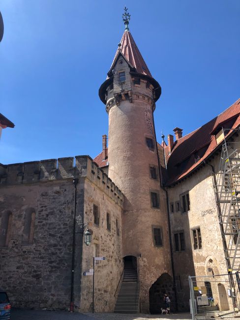
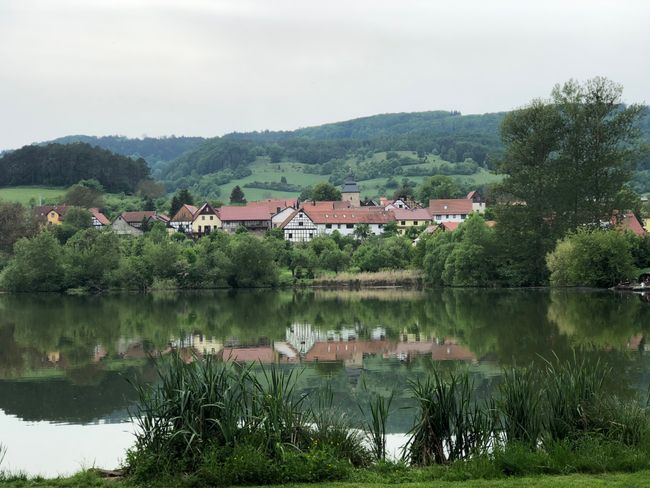
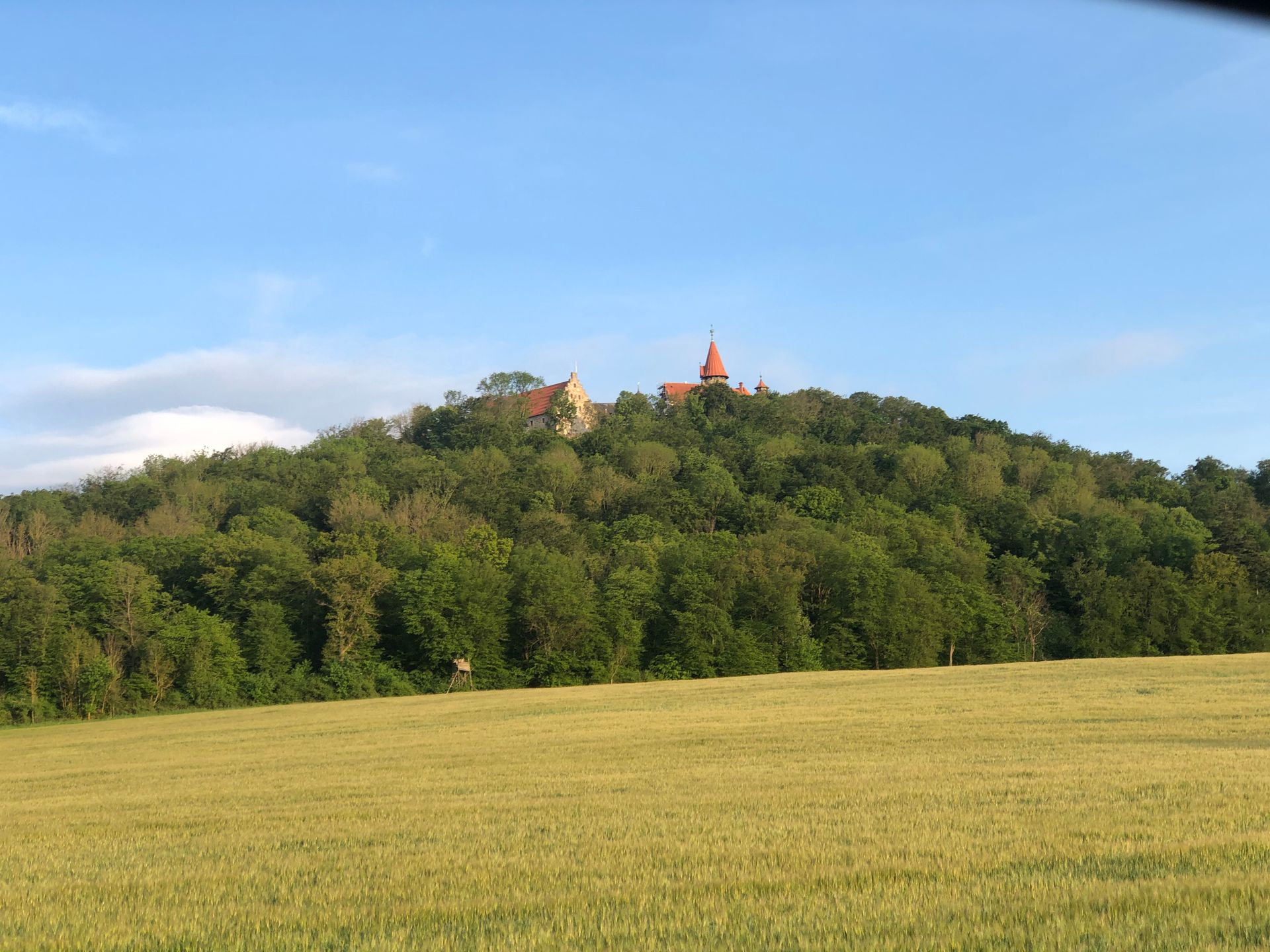
I spent the night in the idyllic Heldburg with a view of Veste Heldburg. I visited it in the morning:

Then I continued with the camper to cover some distance; past the German-German Open Air Museum, bathing stop and swimming included
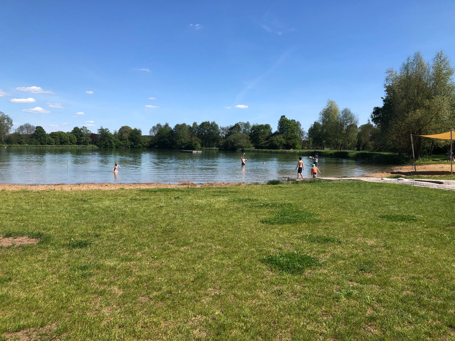
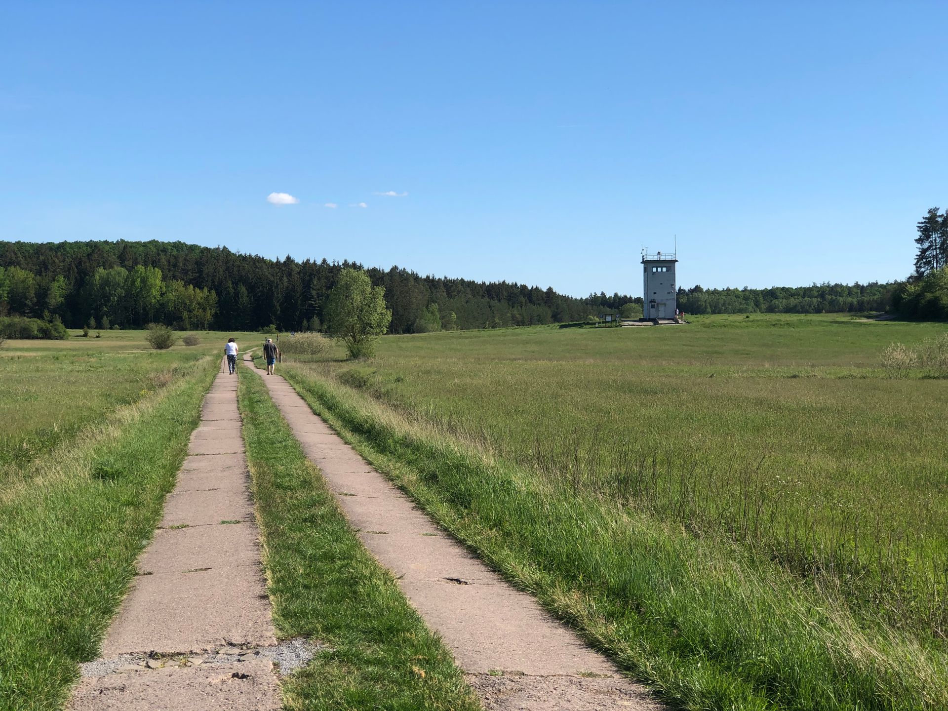

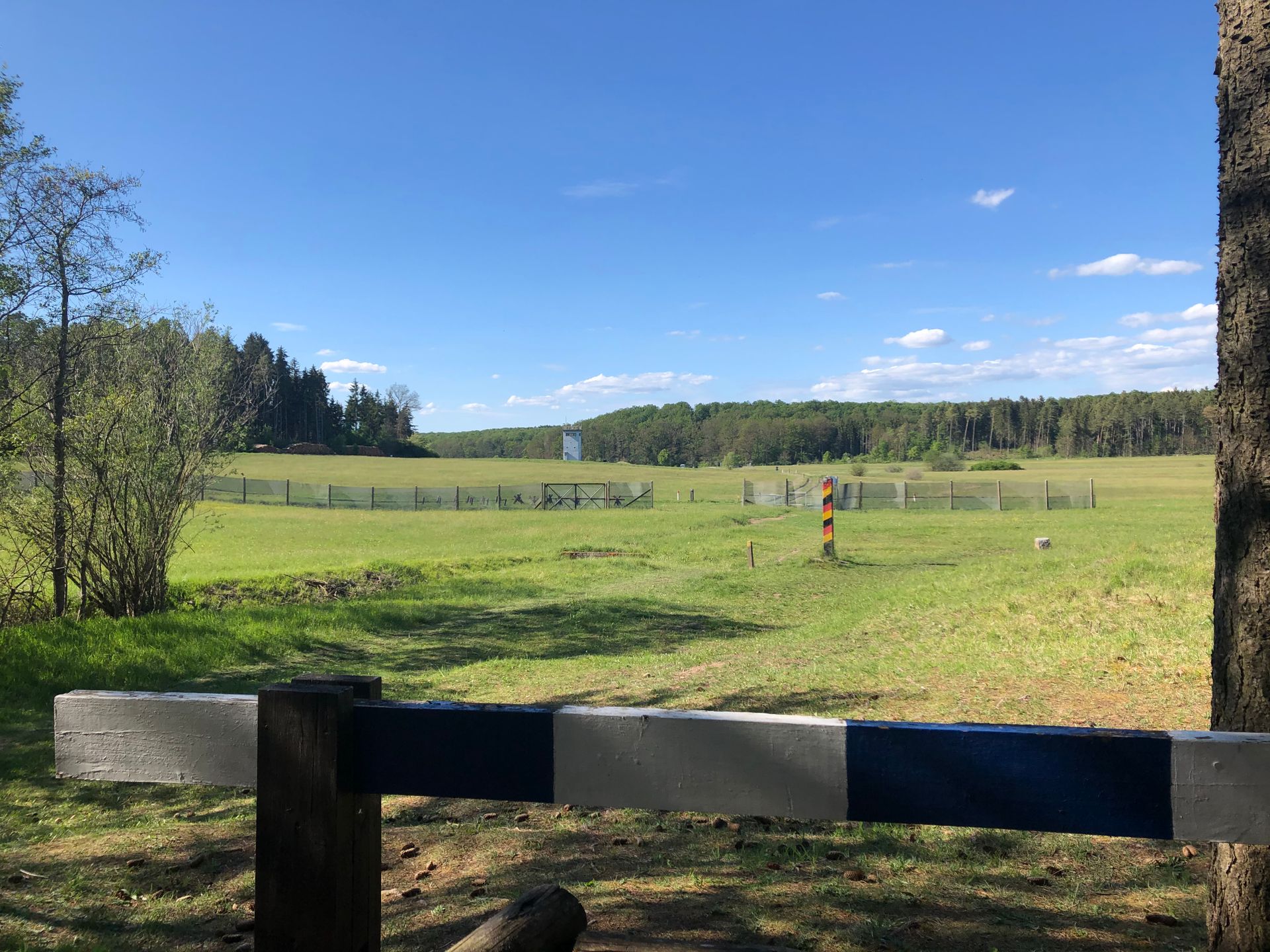

I stopped at the Seeba camper parking lot, quite off from the green belt but very idyllic.
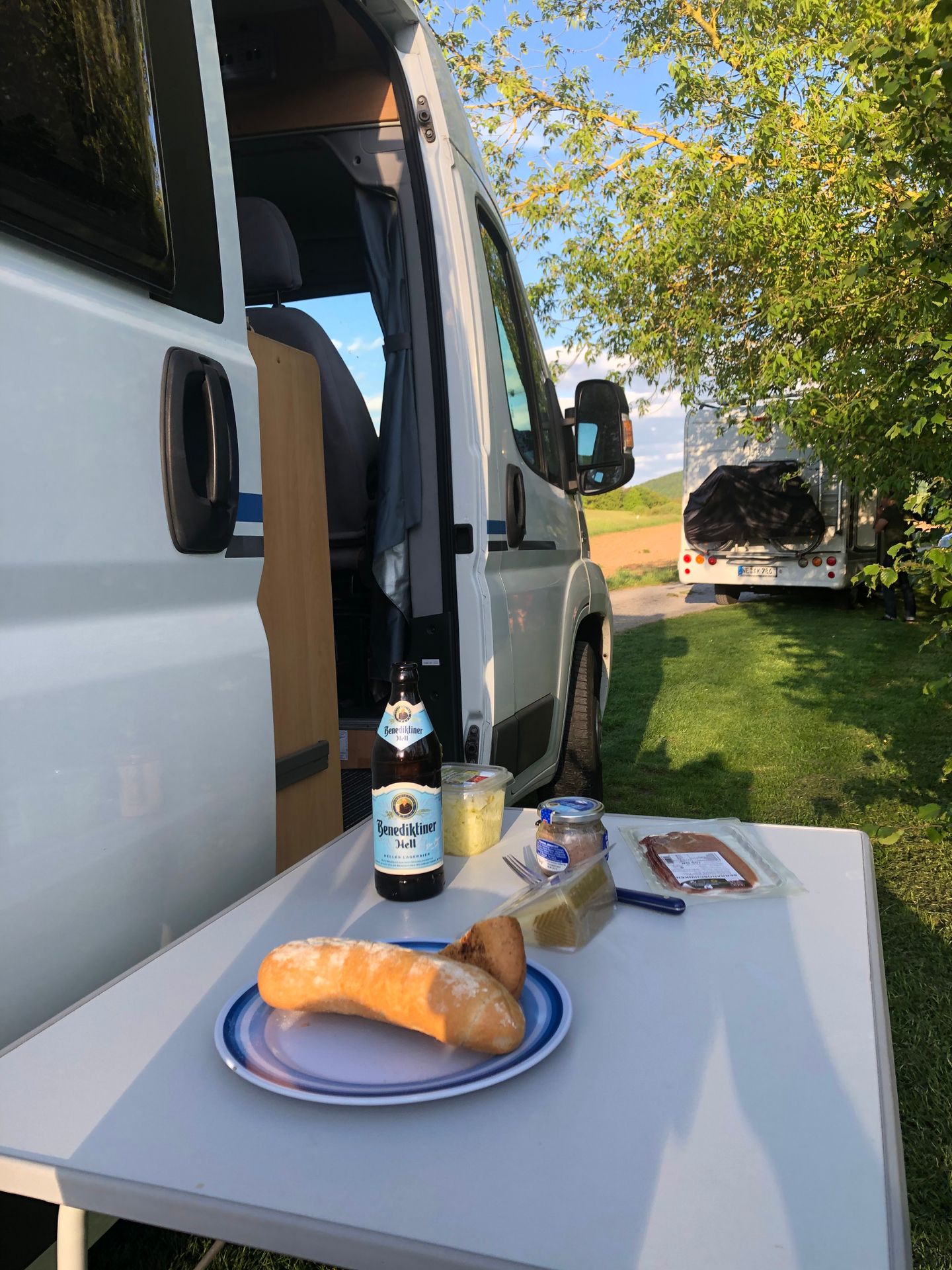
From there, I went to the Rhön. The landscape is still incredibly beautiful, but the path along the border was quite complicated, and so I got myself into a real tangle. I got stuck in an extremely overgrown and steeply descending section of the security road, and my front tire lost air. And that was 15 km away from the camper without any public transportation, let alone a taxi. After 2 km of pushing and a quite depressed mood, luckily a couple of hikers came towards me and the man took me to his home and brought me, including my bike, back to the camper; what luck!!!
Unfortunately, the patch didn't work, and the replacement tube was also shot. To make matters worse, it started raining, so I had to retreat into my rolling home quite early, where I fell asleep quickly.....
Saturday morning, I set off to Meiningen. A nice little town where I could stock up on everything.
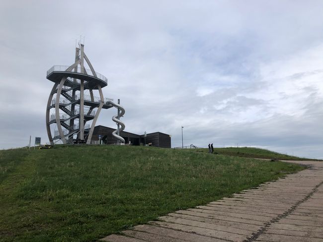
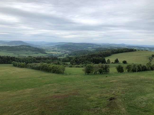
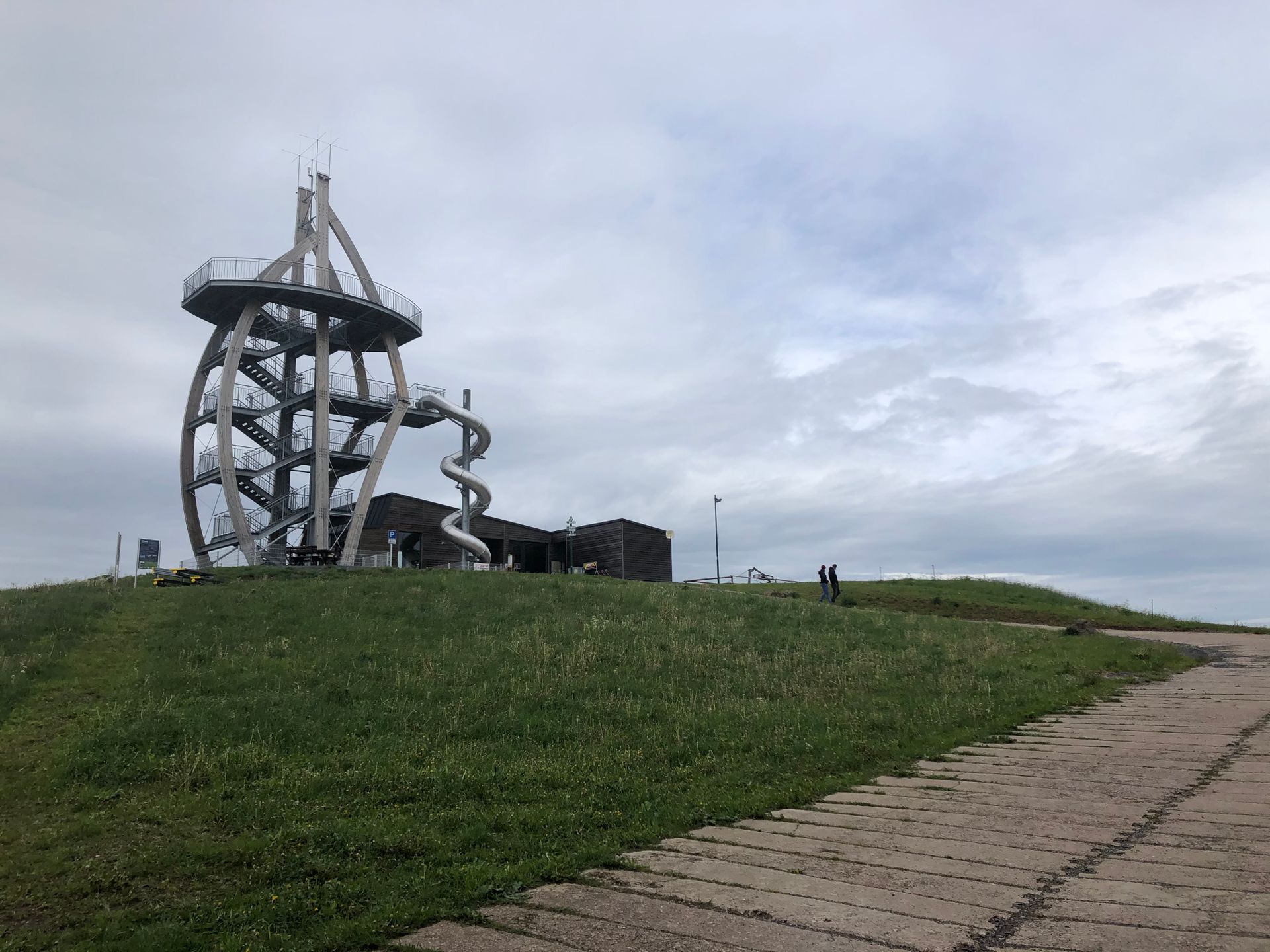
However, I still wanted to see all the hotspots of the Lange Rhön, so I drove to the Ellenbogen by camper, a spectacular viewpoint at over 700 m, where I also fixed my bike.
But the Rhön showed itself to be typical: rough, windy, and, at least in the morning, rainy. And at 700 m, it's quite cool at the end of May....
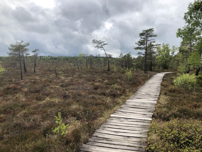
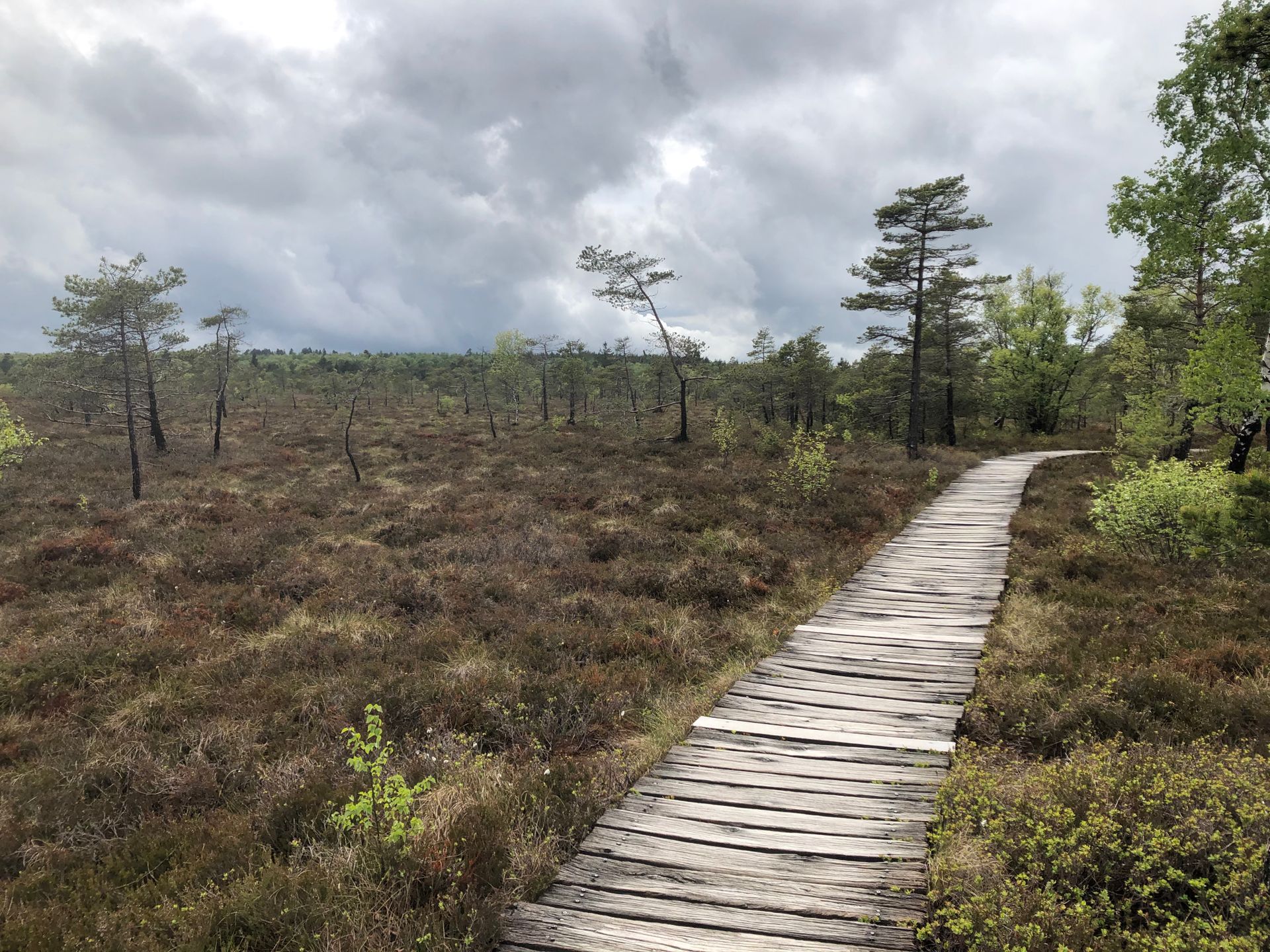
After visiting the lookout tower, I cycled across the heights of the Rhön, past another memorial with a border tower, all the way to the Schwarzes Moor, including the circular path. It's a really beautiful low mountain range, also with some up and down but much less steep than in the previous part of the route.
On the way back, I rode a lot on the security road, so it was real border and shaking. Then I went with the camper to the next destination: Tann. By the way, this is already in Hesse, so the next federal state is coming. It's a very beautiful little place with a castle and an open-air museum right in the middle of the city. There is even a camper parking lot right on the edge of the town, although it's the worst one on the tour so far....


Here's part 2 of the tour:
https://vakantio.de/das-grune-band/das-grune-band-woche-2
Odebírat novinky
Odpovědět
Cestovní přehledy Německo
