Volcanic belt in the heart of the North Island - Part 2
Objavljeno: 21.02.2017

Pretplatite se na bilten
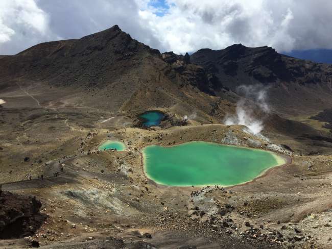
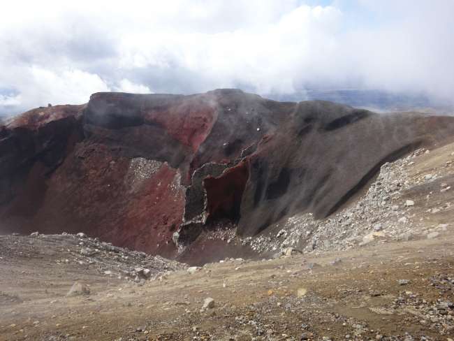
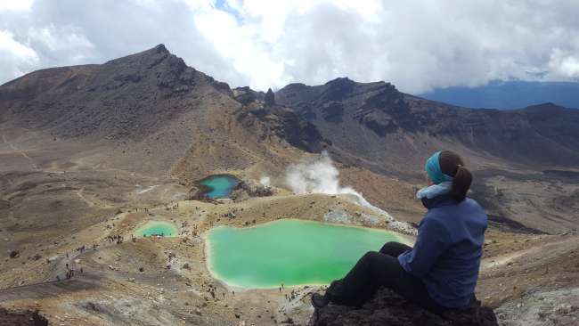
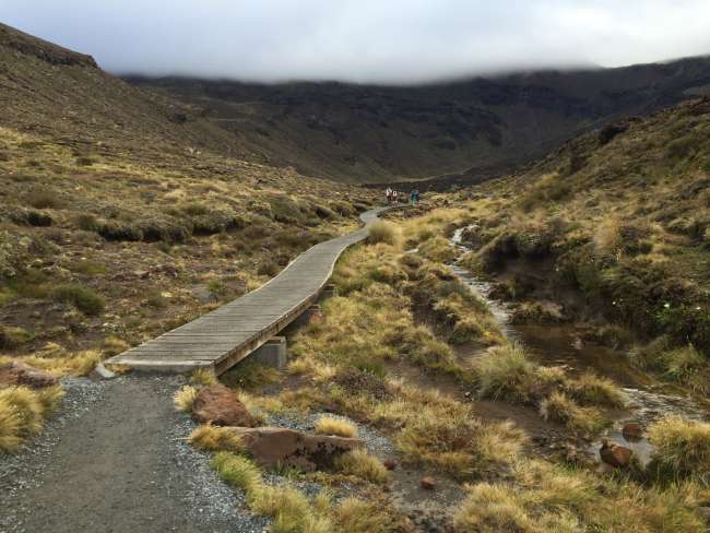
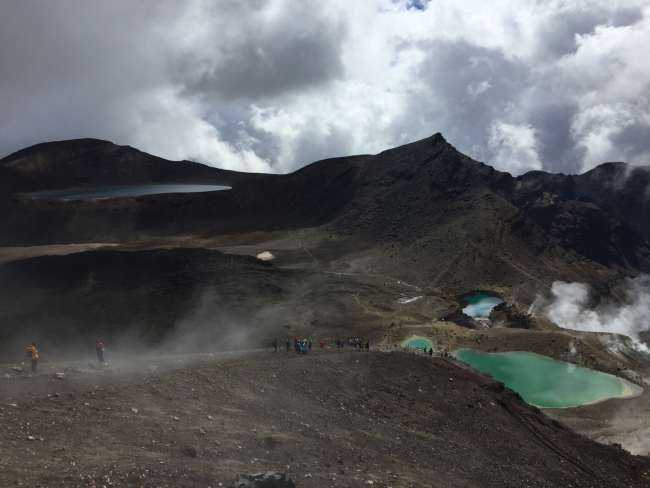
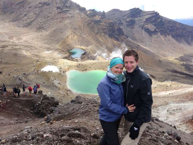
From Taupo, we continued south along Lake Taupo to Tongariro National Park, where the Tongariro Alpine Crossing awaited us. This is considered to be one of the most beautiful and famous day hikes in New Zealand. The hike covers 19.4 km through active volcanic areas, passing by the stunning Emerald Lakes and volcanic craters.
After successfully repairing Lisa's hiking shoes, which were somewhat damaged by the airport staff's not-so-gentle handling of our luggage, we were ready for the hike. We just needed decent weather, which unfortunately was not so good in the days leading up to our planned hike, causing all the day trips from Taupo to be canceled.
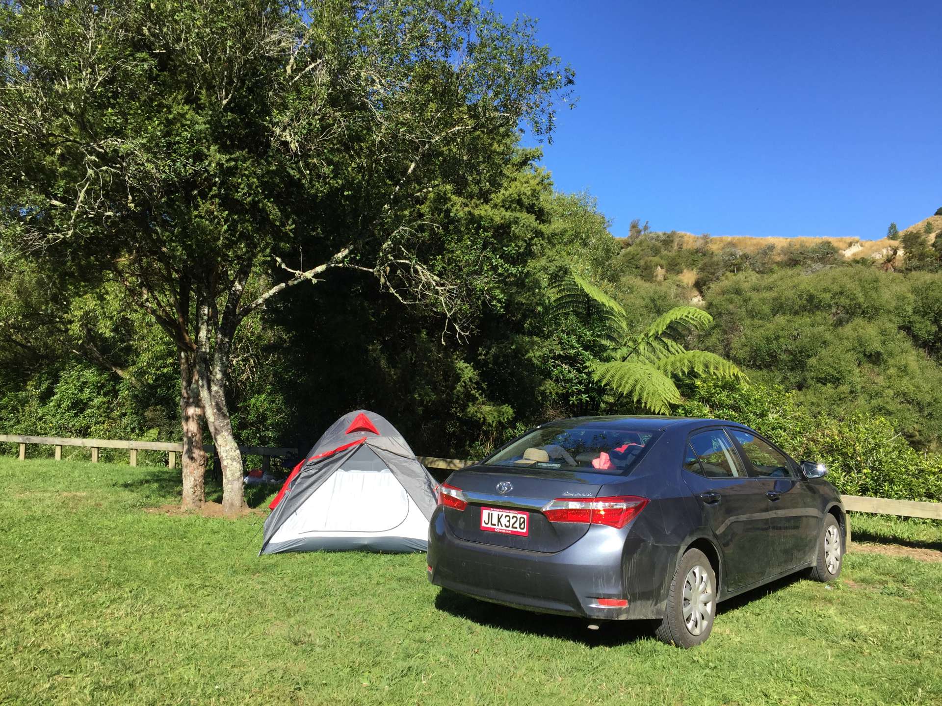
We had reserved a camping spot in Whakapapa Village, which was very convenient as it was only a 30-minute drive to the start of the hike. Reserving in advance is recommended as the campsites are limited and were fully booked during our stay. The transfer, on the other hand, was not cheap at 30 NZD per person, but unfortunately, we had no other option.
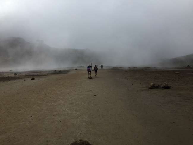
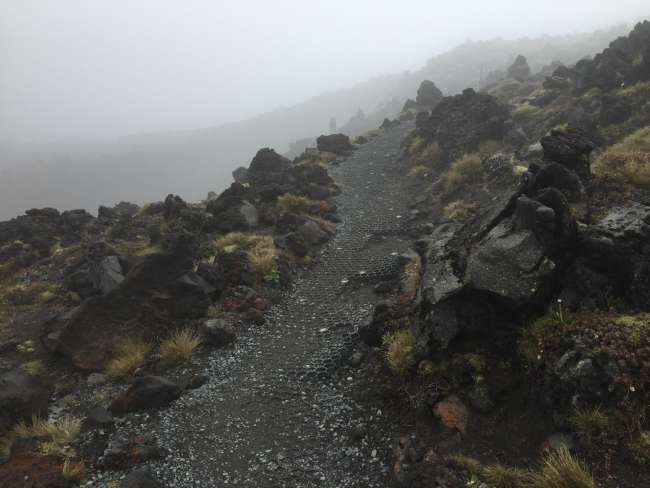
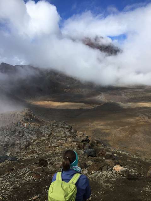
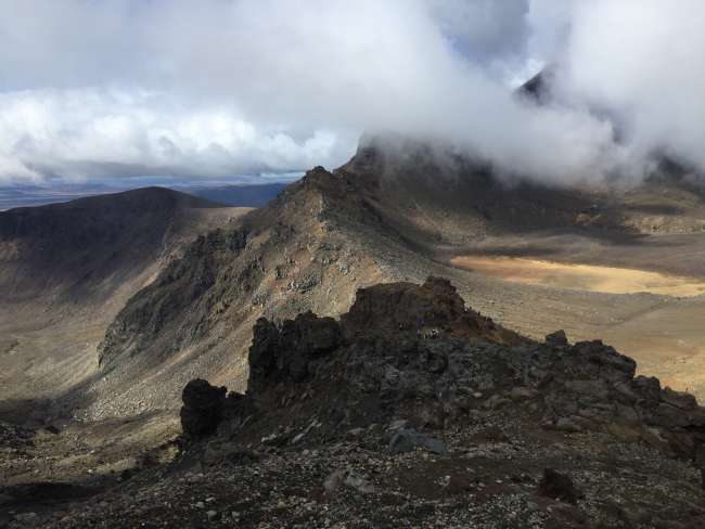
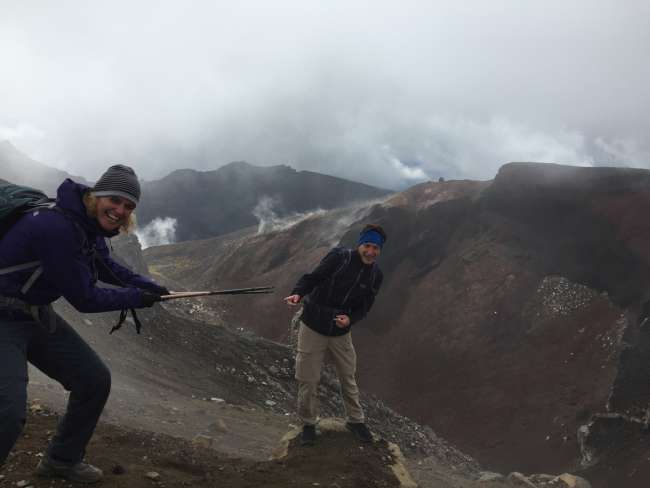
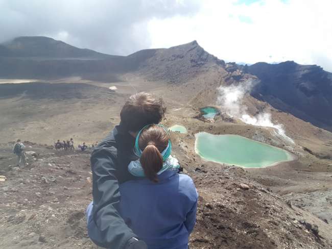
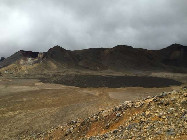
The Tongariro Alpine Crossing itself is a stunning day hike with a variety of landscapes. It starts off in a very barren area, then climbs steeply to the Red Crater, which is known as Mordor from the Lord of the Rings trilogy. Just as we arrived at the Emerald Lakes, with their beautiful colors, the fog cleared and the sun once again came through at the perfect moment. The fog and clouds from the morning also added to the atmosphere of the steaming volcanic craters.


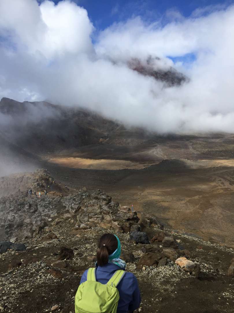
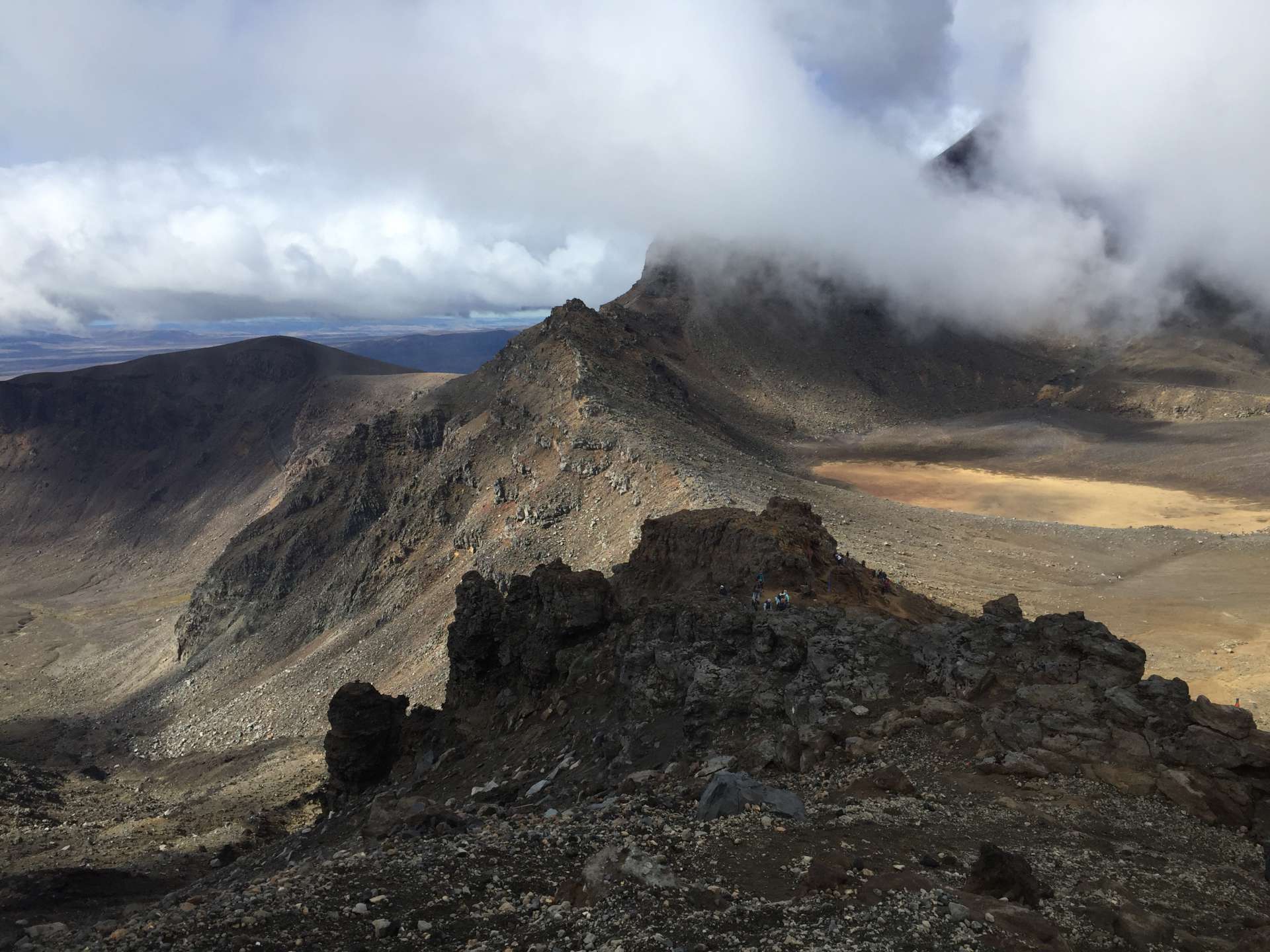
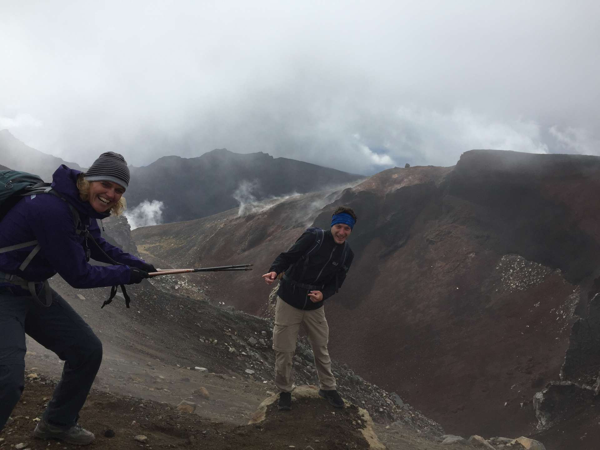


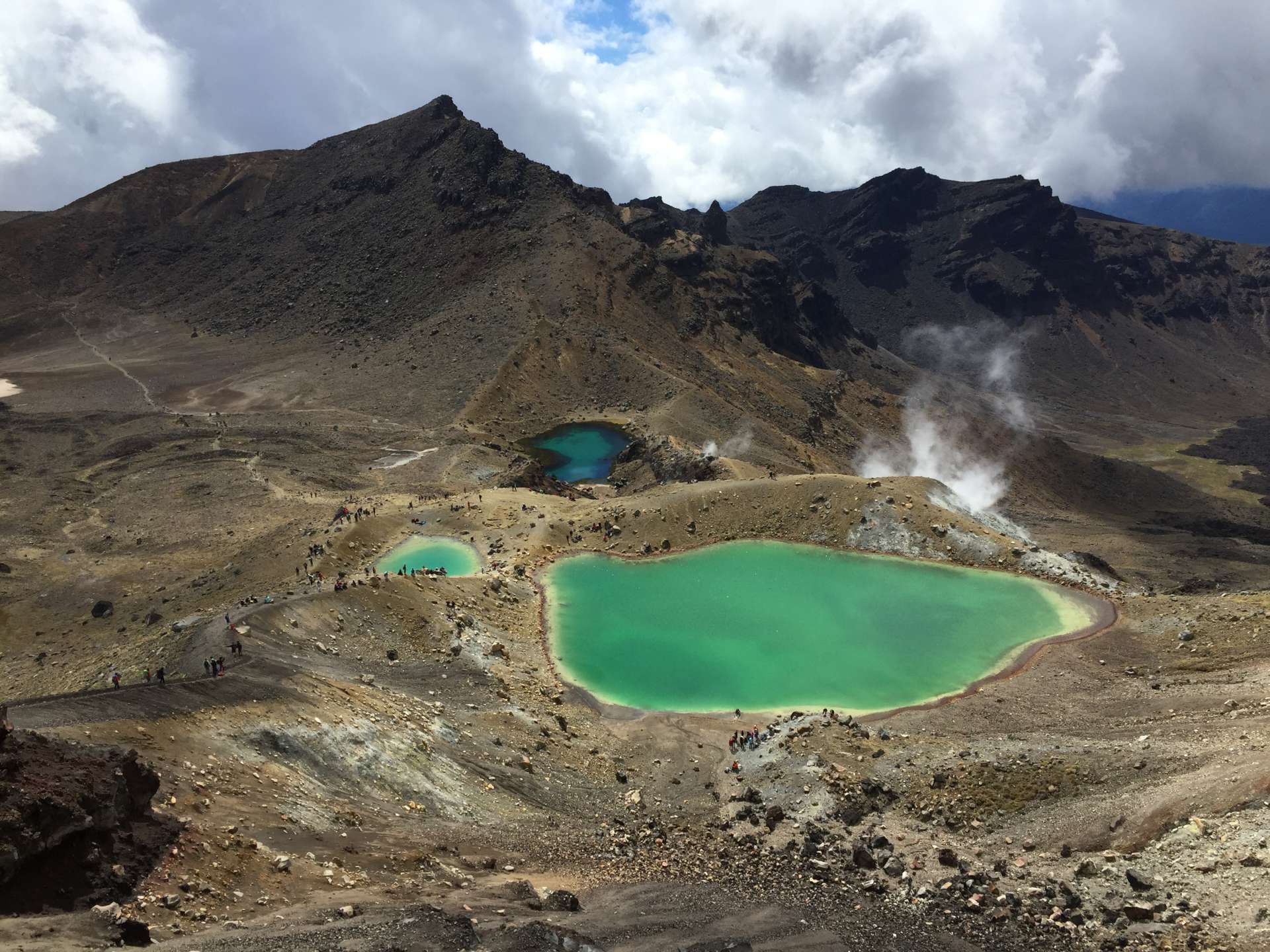
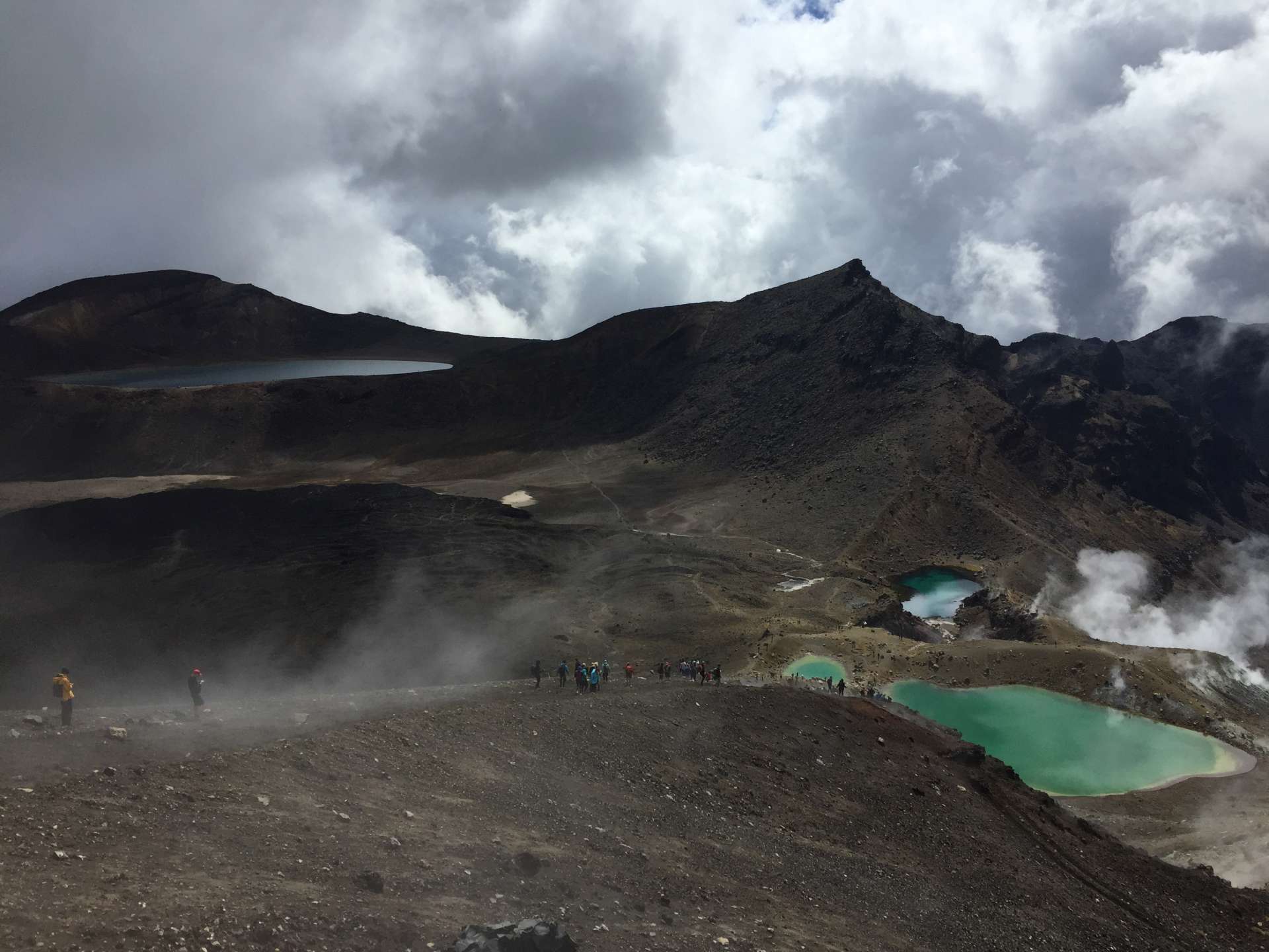

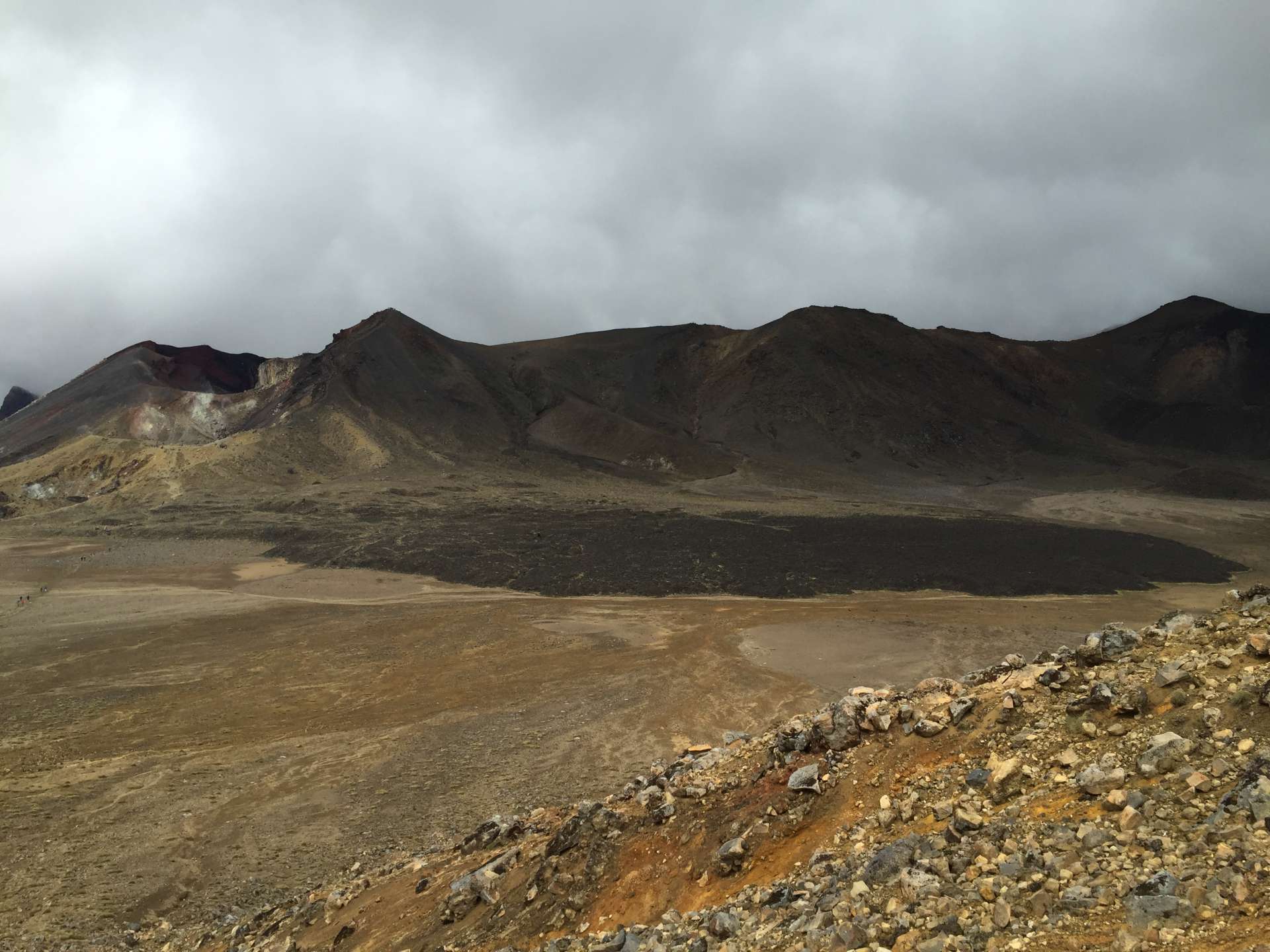
By the way, Mount Tongariro is an active volcano that last erupted in 2012! That's why even the camping site has warning signs indicating which areas are at risk during an eruption and which areas are safe.
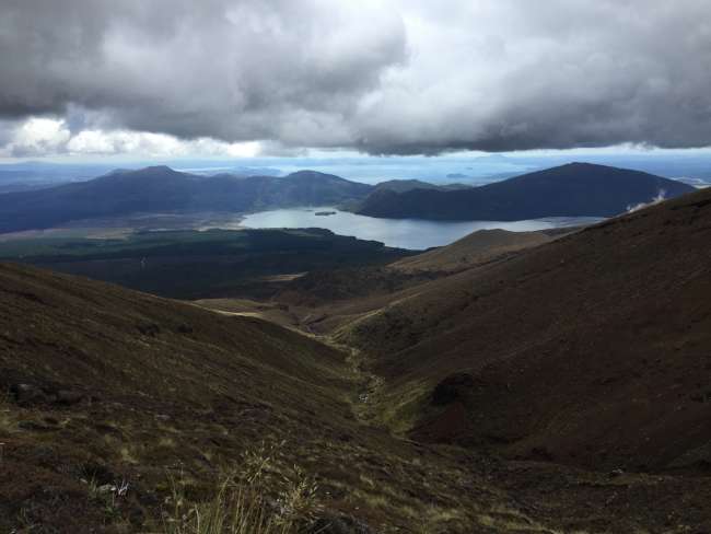
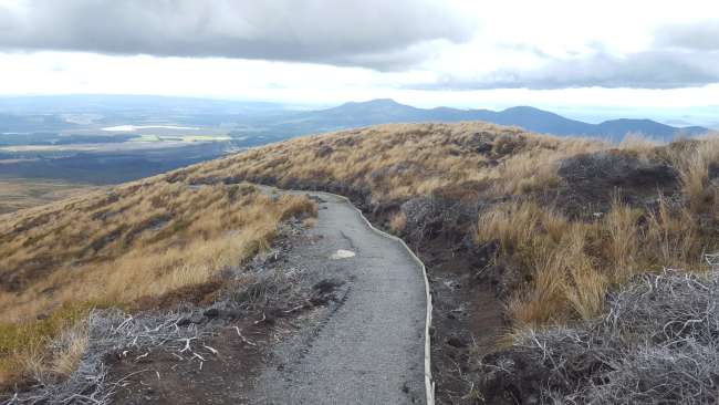
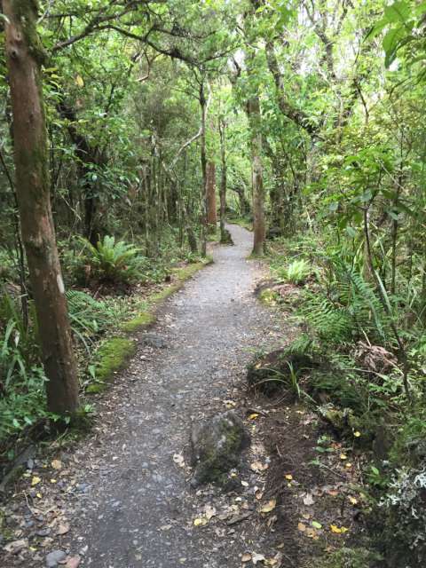
Tip for hikers: Be sure to bring enough clothing. In addition to sunscreen, we also needed gloves and a headband during the Crossing. After the Red Crater, Emerald Lakes, and Blue Lagoon, there was a longer descent that changed from volcanic terrain with smoking areas to a 3 km walk through a forested area. We also had a nice view of Lake Taupo in the distance.

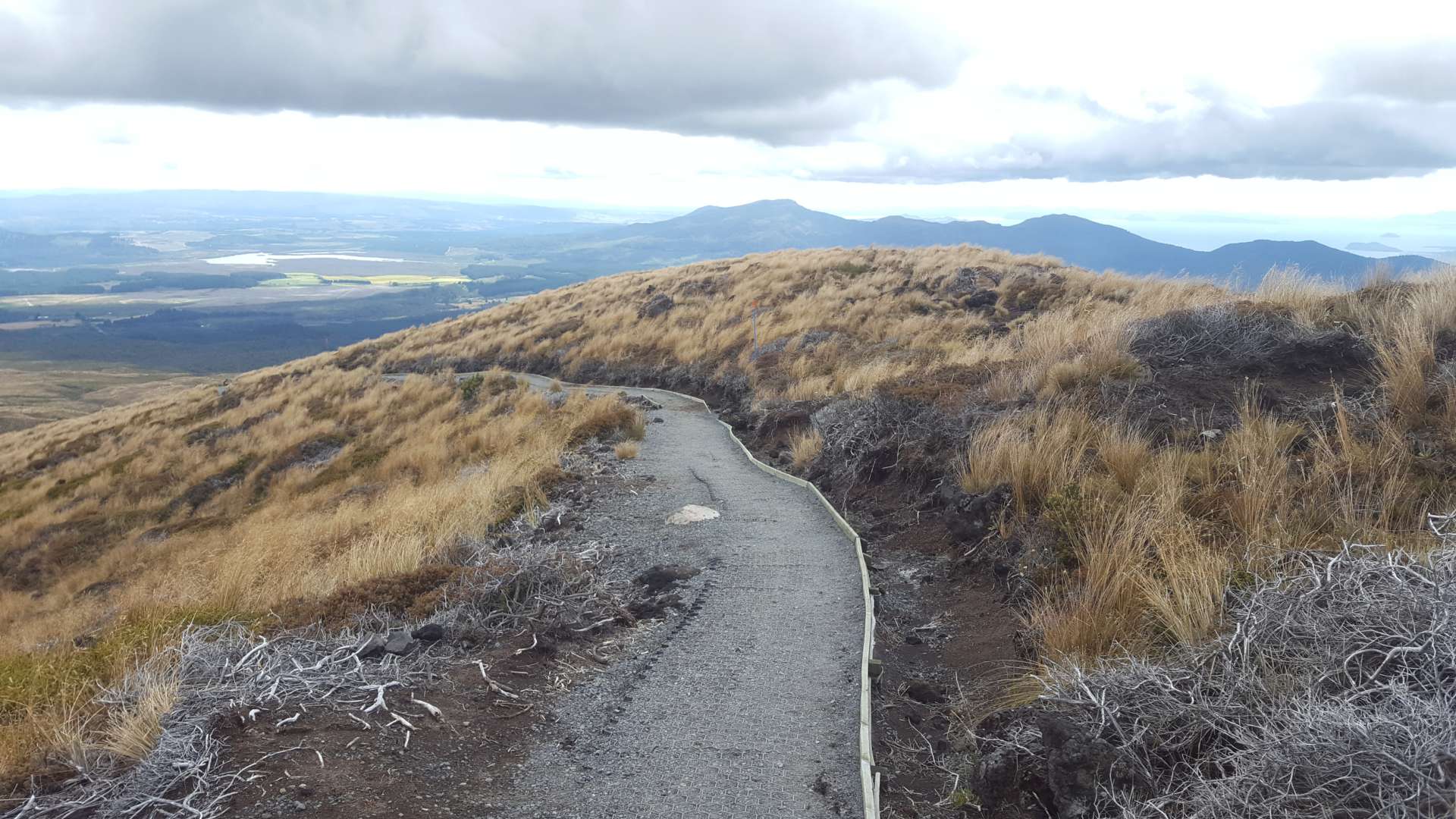
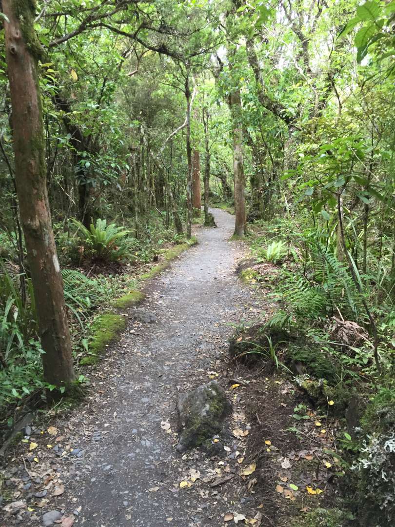
The breathtaking hike is definitely worth it, but you also need some luck with the weather, so it's a good idea to have 1-2 days of flexibility to wait for suitable conditions.
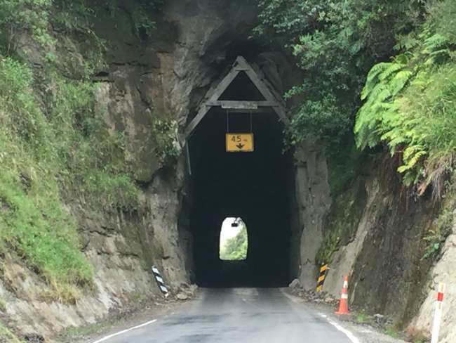
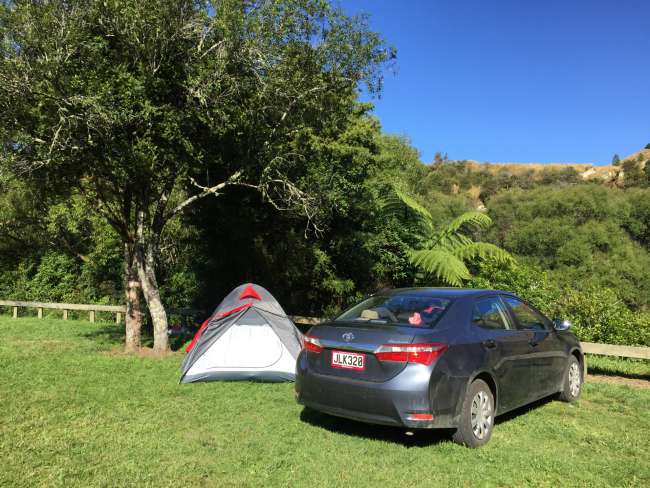
After successfully completing the Crossing, albeit a bit tired, we did some laundry using the camping site's facilities and finally got to wash everything in hot water =). The next day, we headed towards Mount Taranaki, another volcano on the west coast. We took Highway 43, better known as the Forgotten World Highway, for this. We also made a stop at a campsite on the Whanganui River and continued the journey the next day (the Ohinepane campsite is beautifully located and completely free ;-).
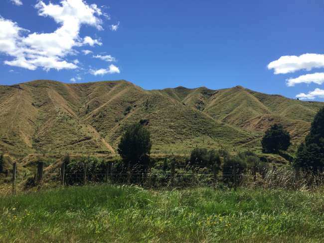
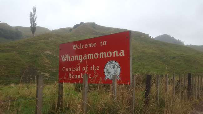
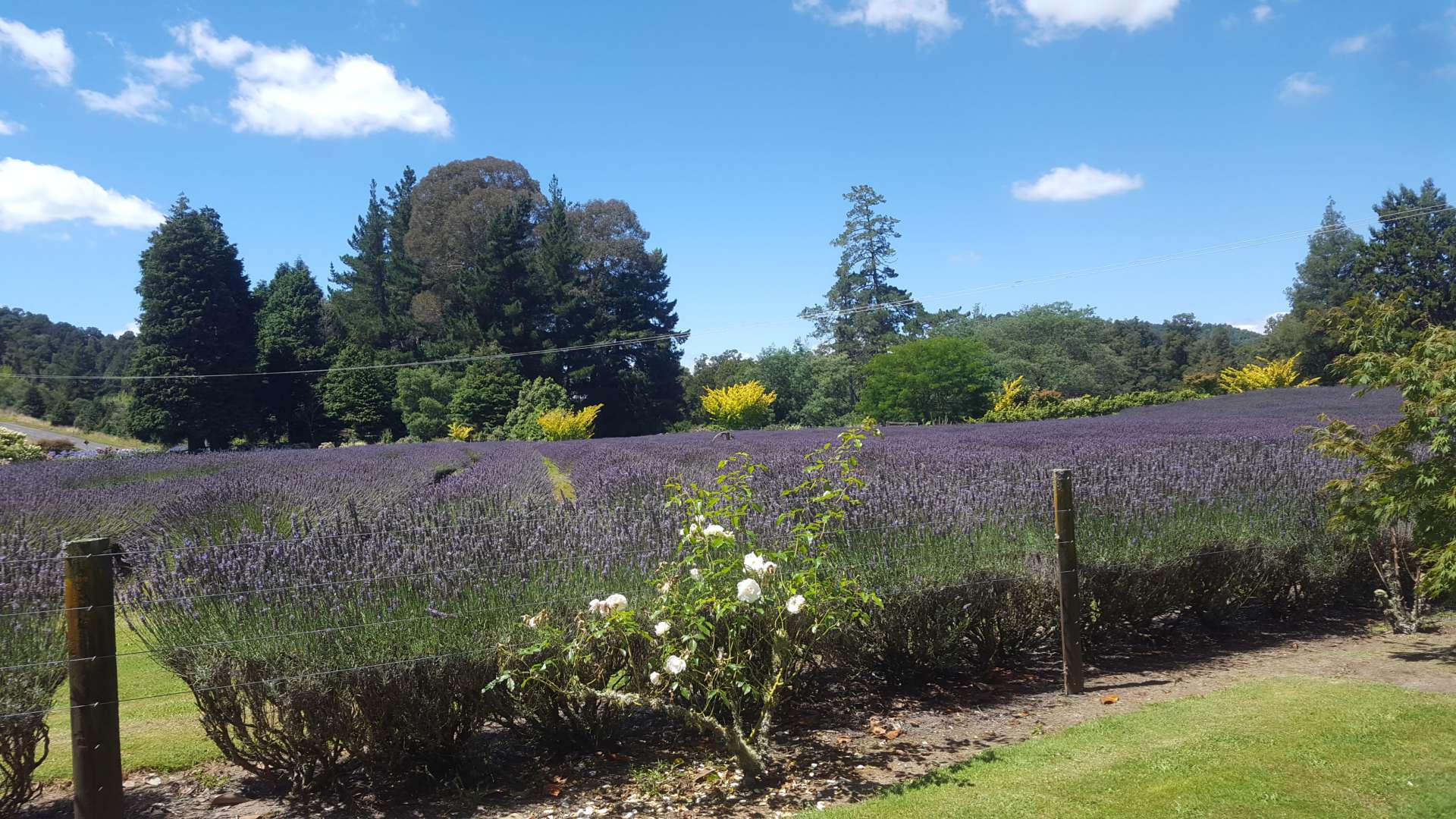
The weather didn't cooperate as much as we had hoped during the drive on the Forgotten World Highway, but it was still a nice ride. However, it's important to make sure you have at least half a tank of gas because there are no gas stations for about 140 km towards Stanfort. The highlight of the drive was the town of Whangamomona, which is actually an independent republic in New Zealand with only about 30 residents. We even got a new stamp in our passports =D.
Weather on Day 1

Weather on Day 2


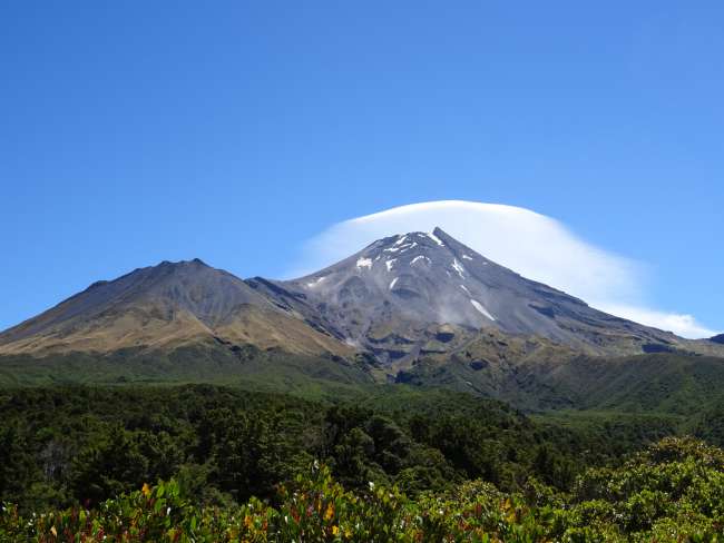
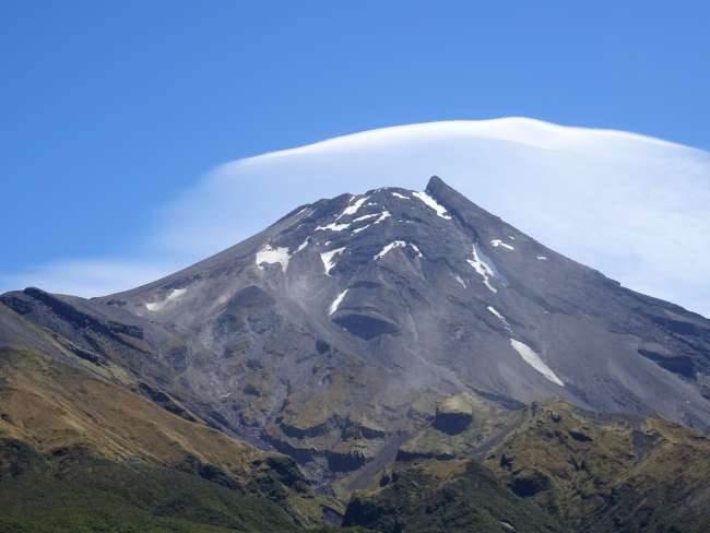
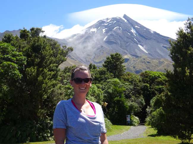
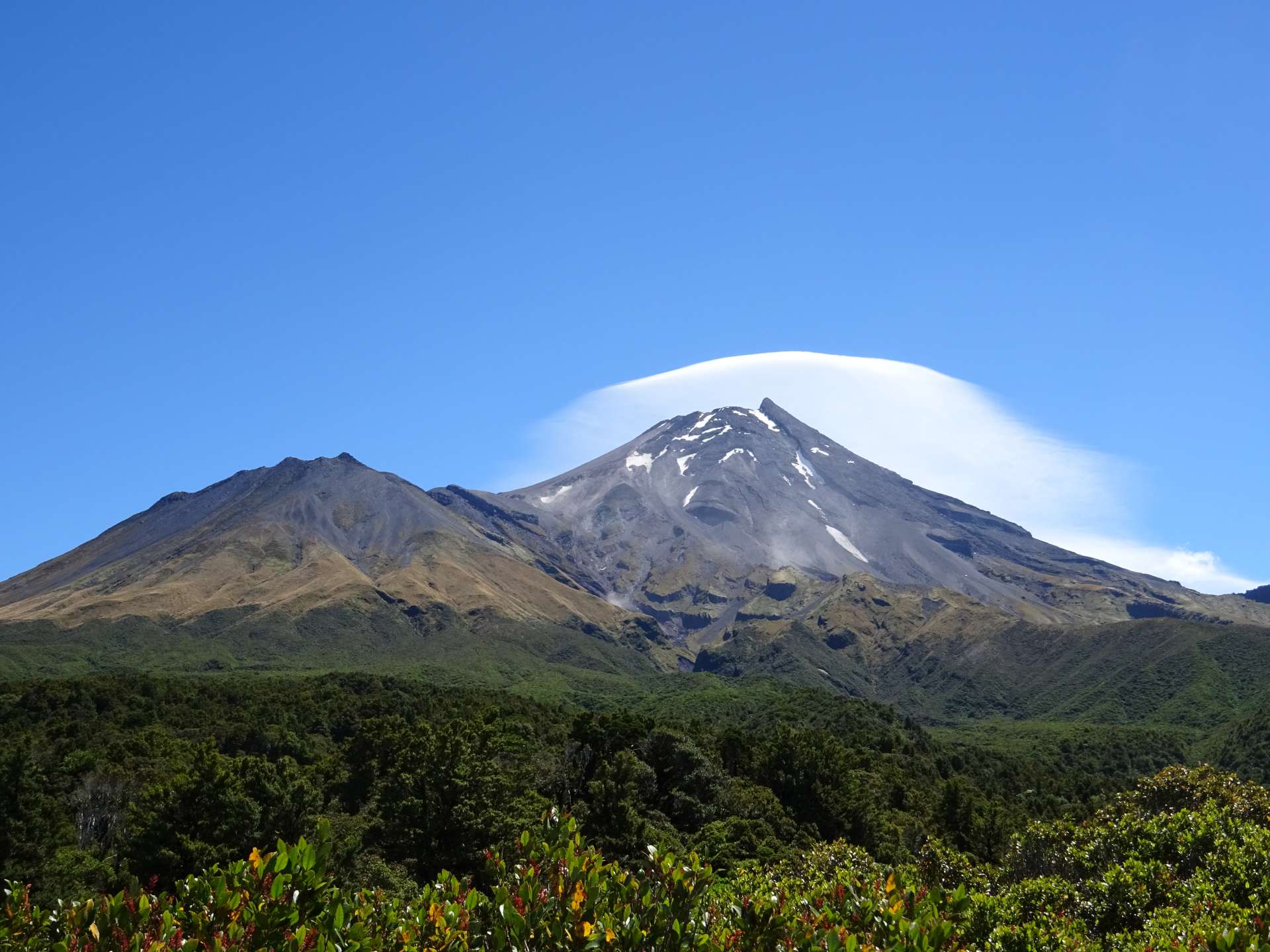
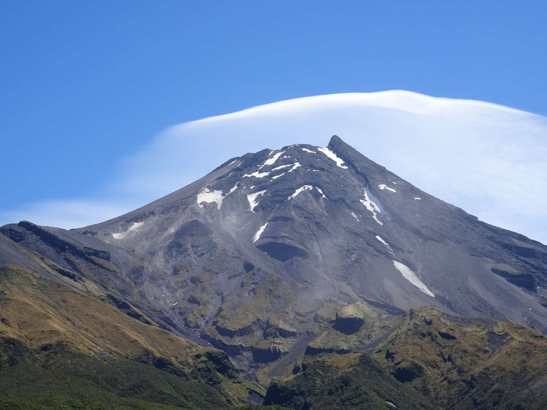
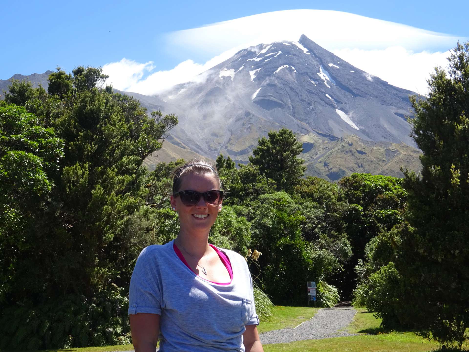
At Mount Taranaki, we were lucky again and the volcano stood before us in bright sunshine. According to Maori legend, Taranaki is closely connected with the mountains in the interior of the North Island. Taranaki, they say, once lived with the other volcanoes Tongariro, Ruapehu, and Ngauruhoe on the central plateau around Lake Taupo. He started flirting with the beautiful Pihanga, which made Tongariro jealous and caused him to erupt in anger. Taranaki was forced to leave and fled westward, forming the Whanganui River and numerous waterfalls, which are still fed by his tears today.
But enough of the story :-D. The mountain presents an incredibly beautiful sight and is exactly what one imagines a volcano to be like...
Pretplatite se na bilten
Odgovori
Izvještaji o putovanjima Novi Zeland
