Day 25 - Coastal hike from Haukland to Uttakleiv
Апублікавана: 24.08.2018


Падпісацца на рассылку
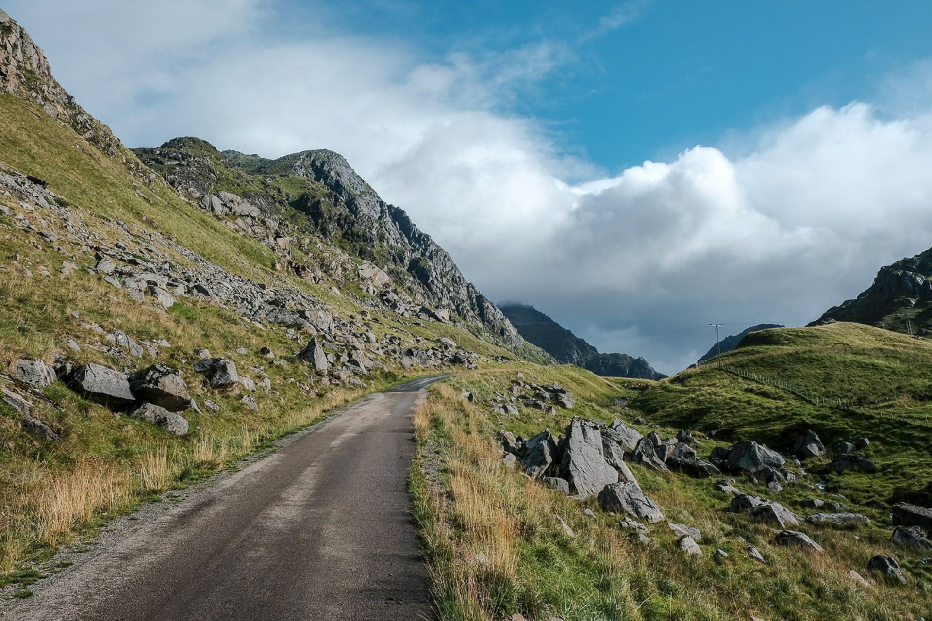
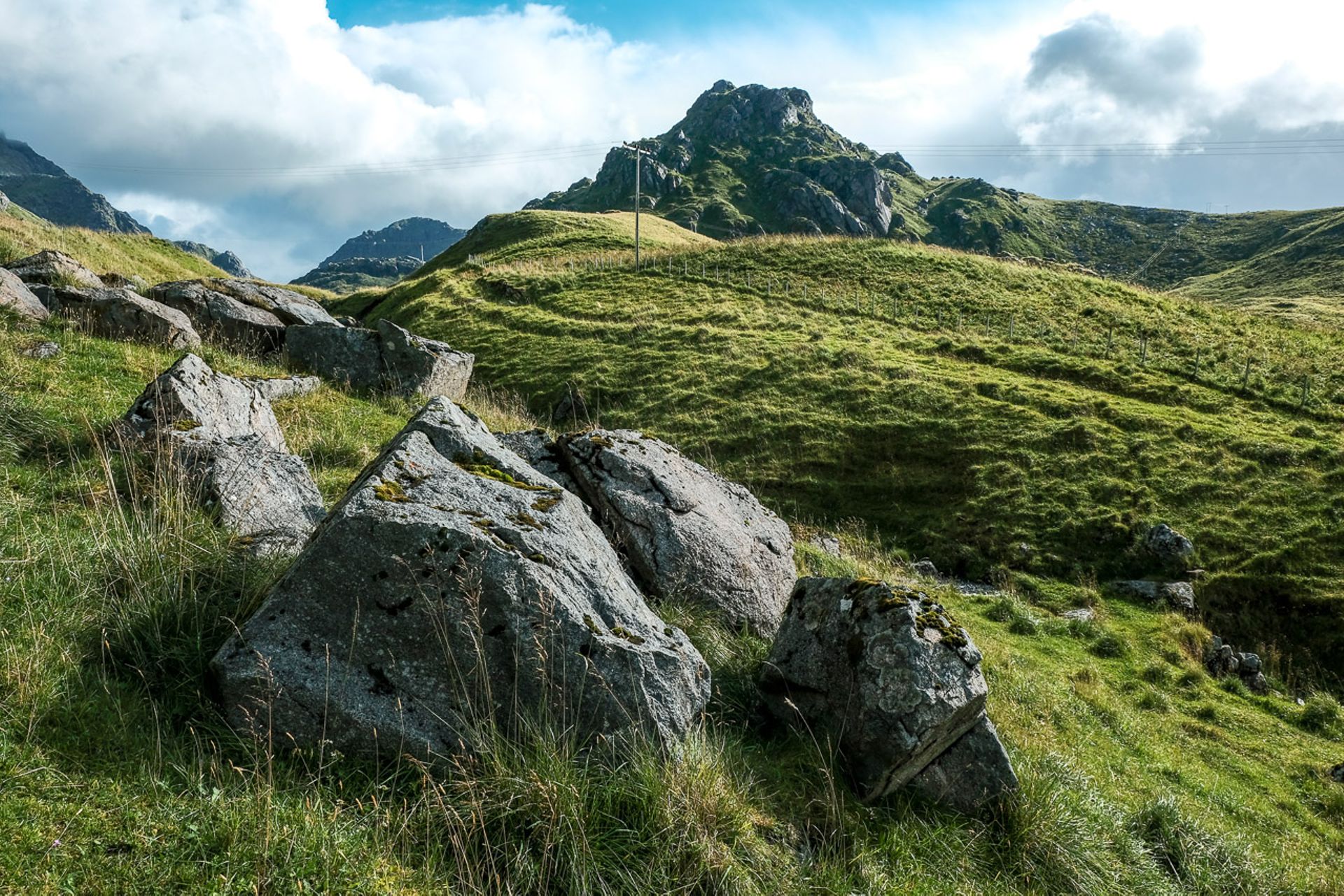
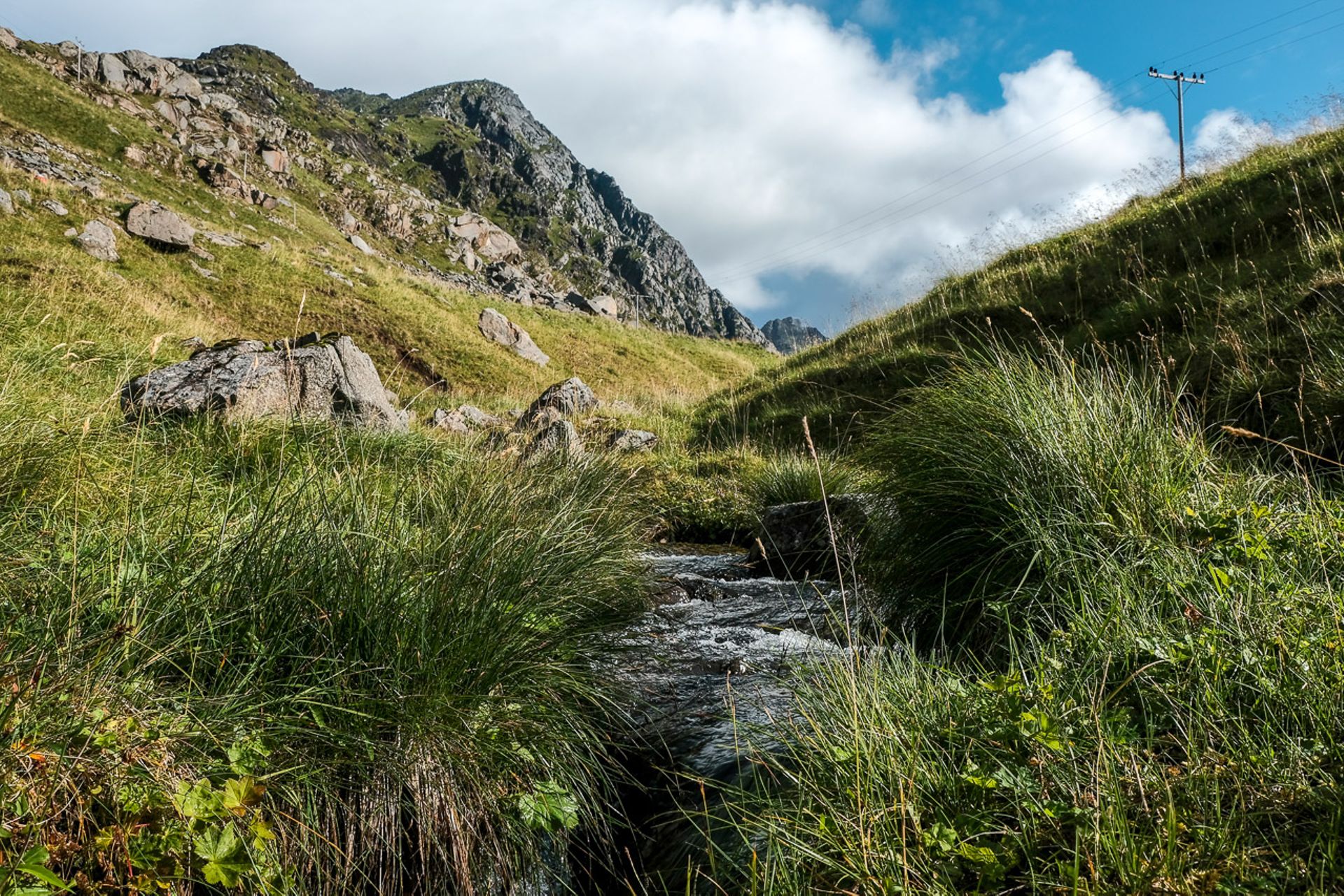
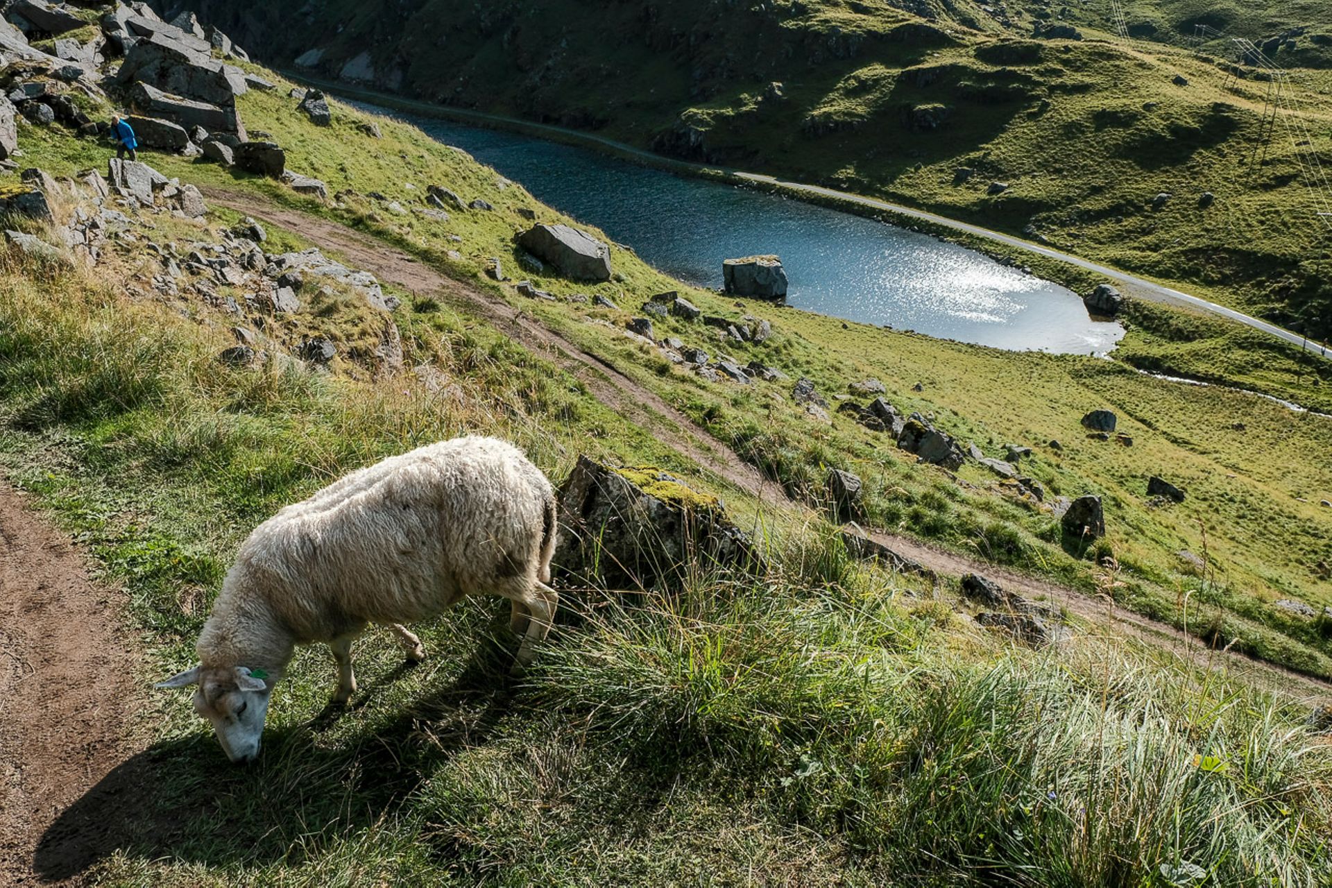
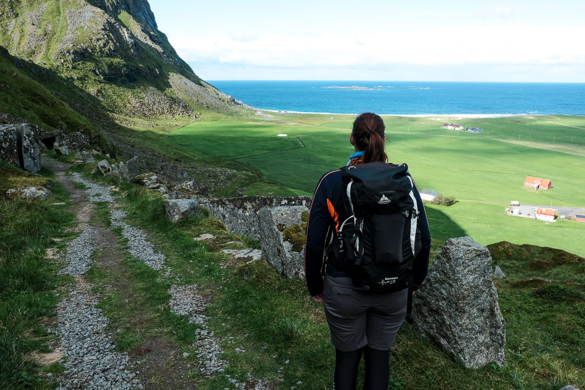
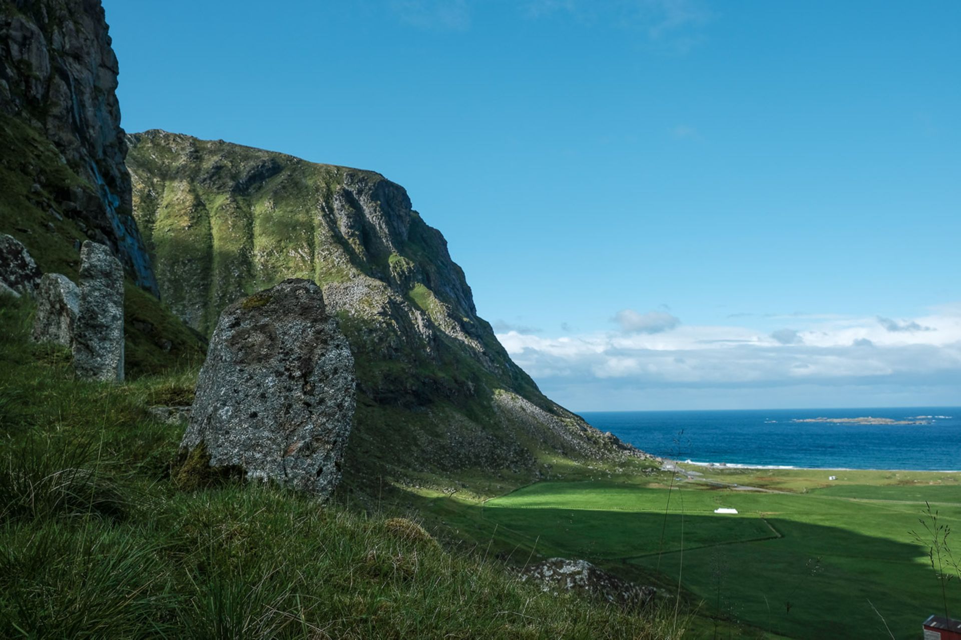
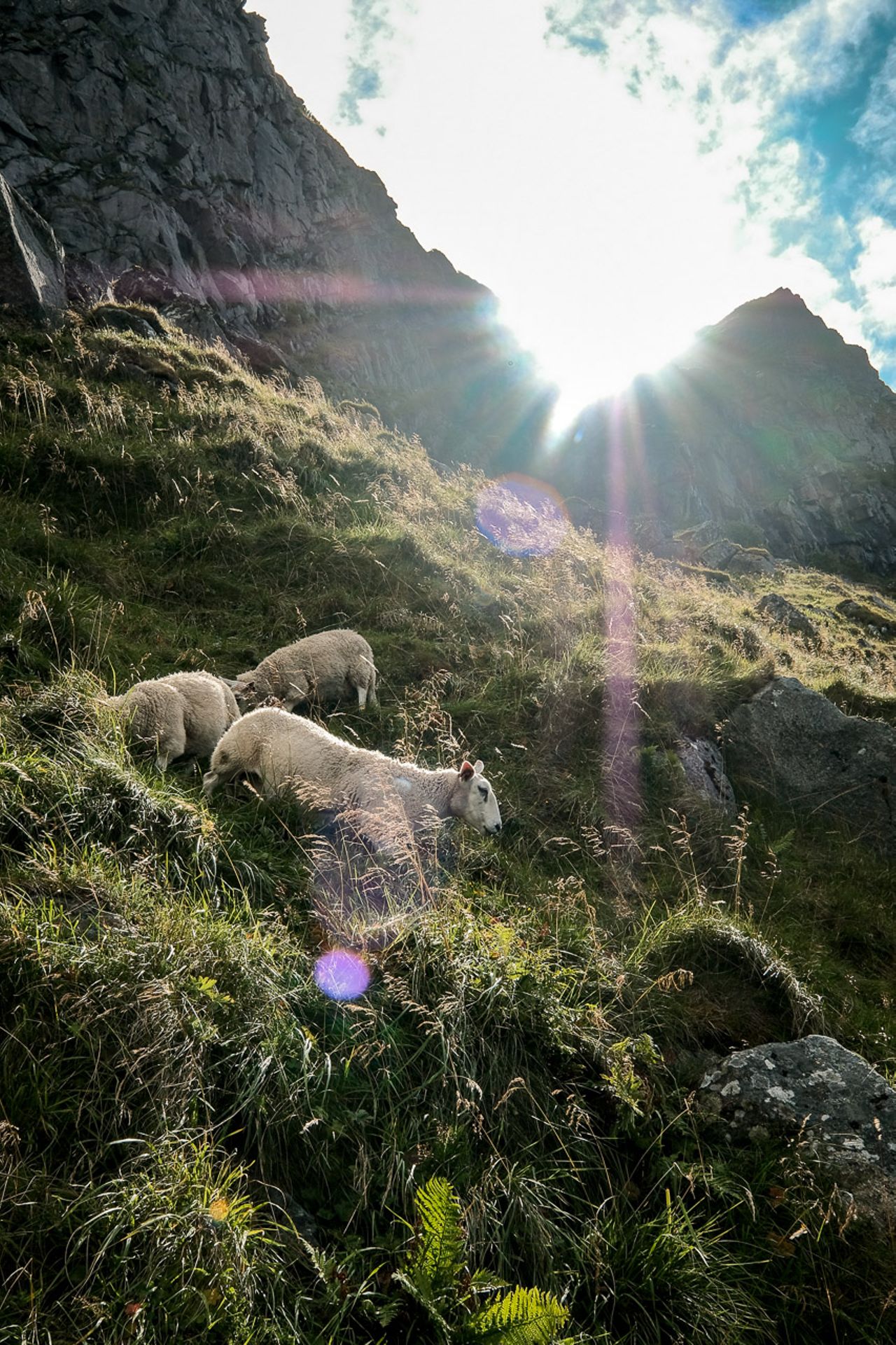
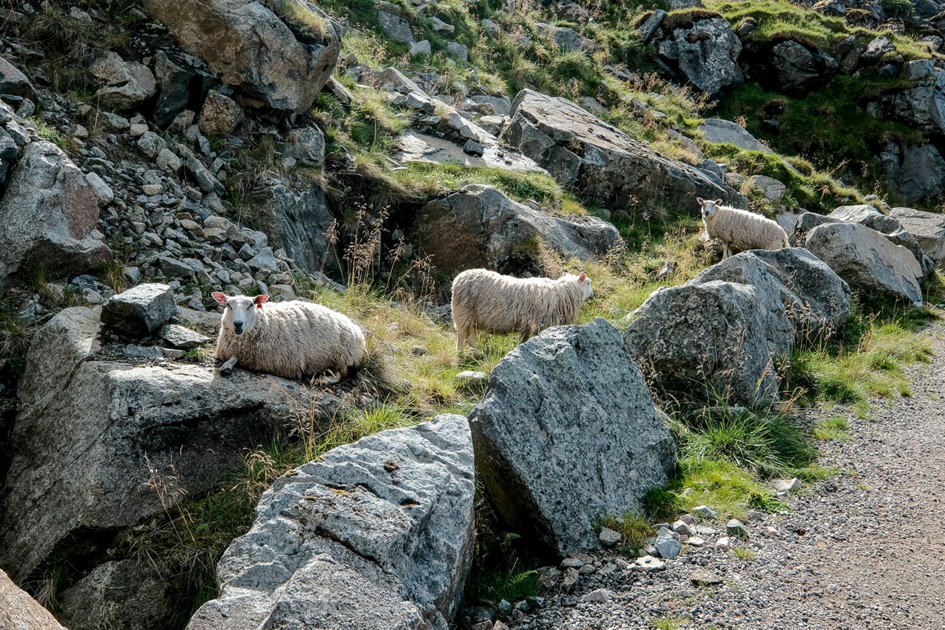
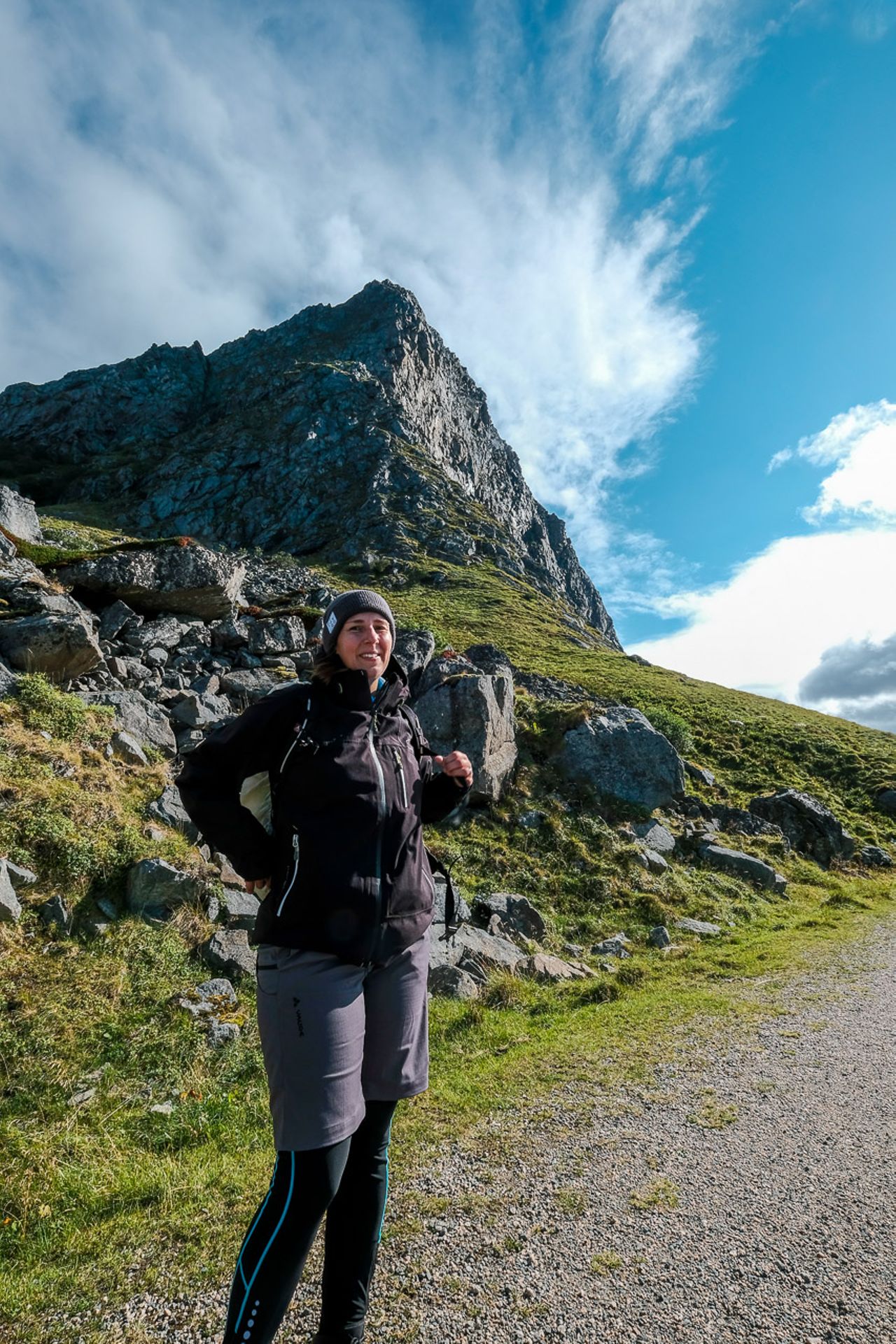
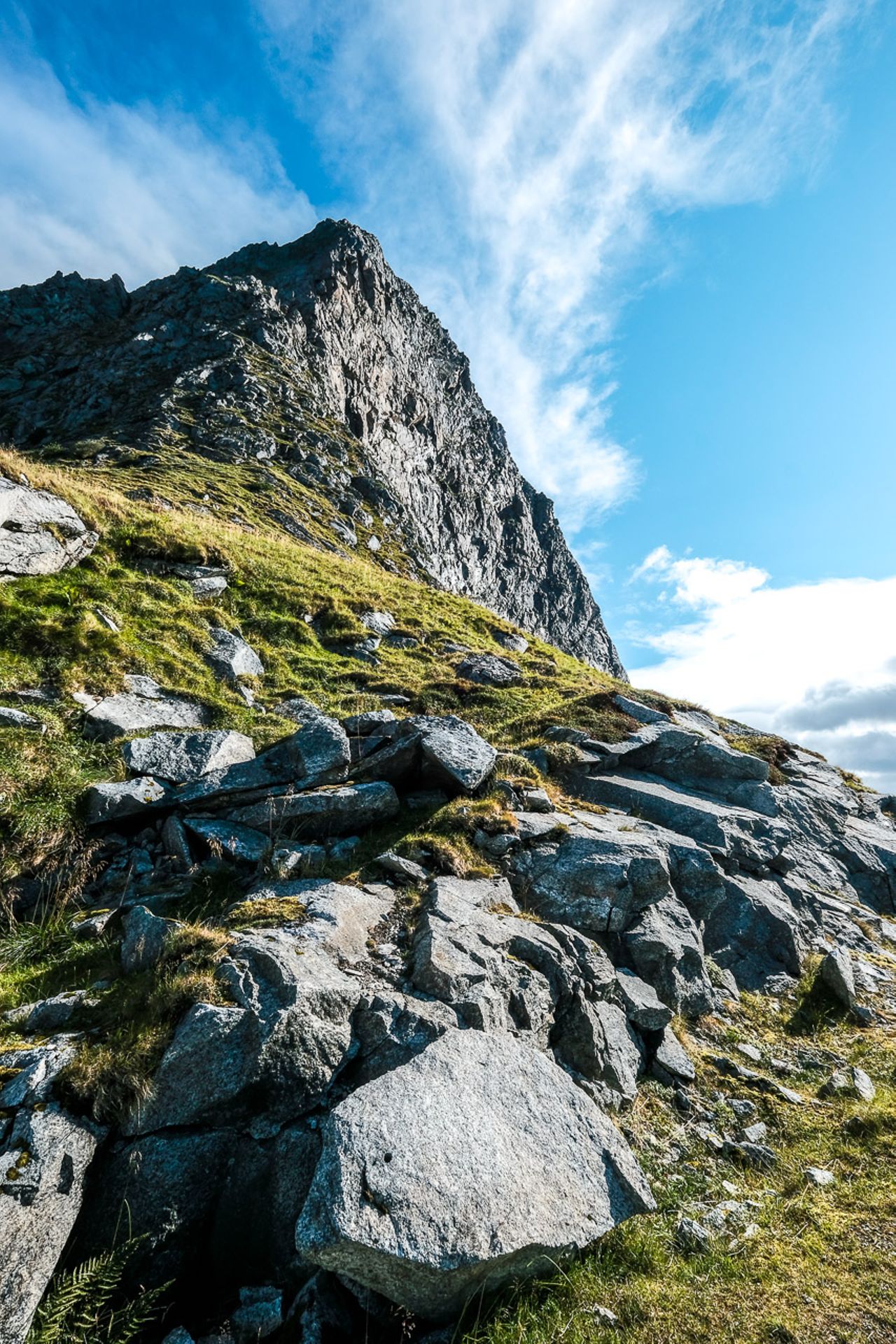
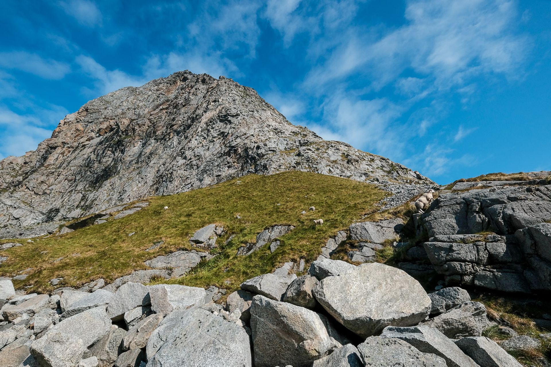
In order not to strain my knee too much, today's hike - the weather is quite decent - is planned as an easy tour. It leads from the beach near Haukland over a mountain ridge to Uttakleiv, where there is also a beautiful sandy beach. Except for the section over the mountain ridge, the hike follows old, no longer used roads with gravel surface, which is quite pleasant for walking. We are doing the tour the other way round as indicated, starting with the steep section over the ridge. Along the way, we encounter sheep over and over again, which can be found almost everywhere on the Lofoten Islands where grass grows. Once we reach the top, we are on a kind of small plateau, with the (secondary) peak of Himmeltinden towering above us to the right. Its main peak is inaccessible, as it is a military restricted area.
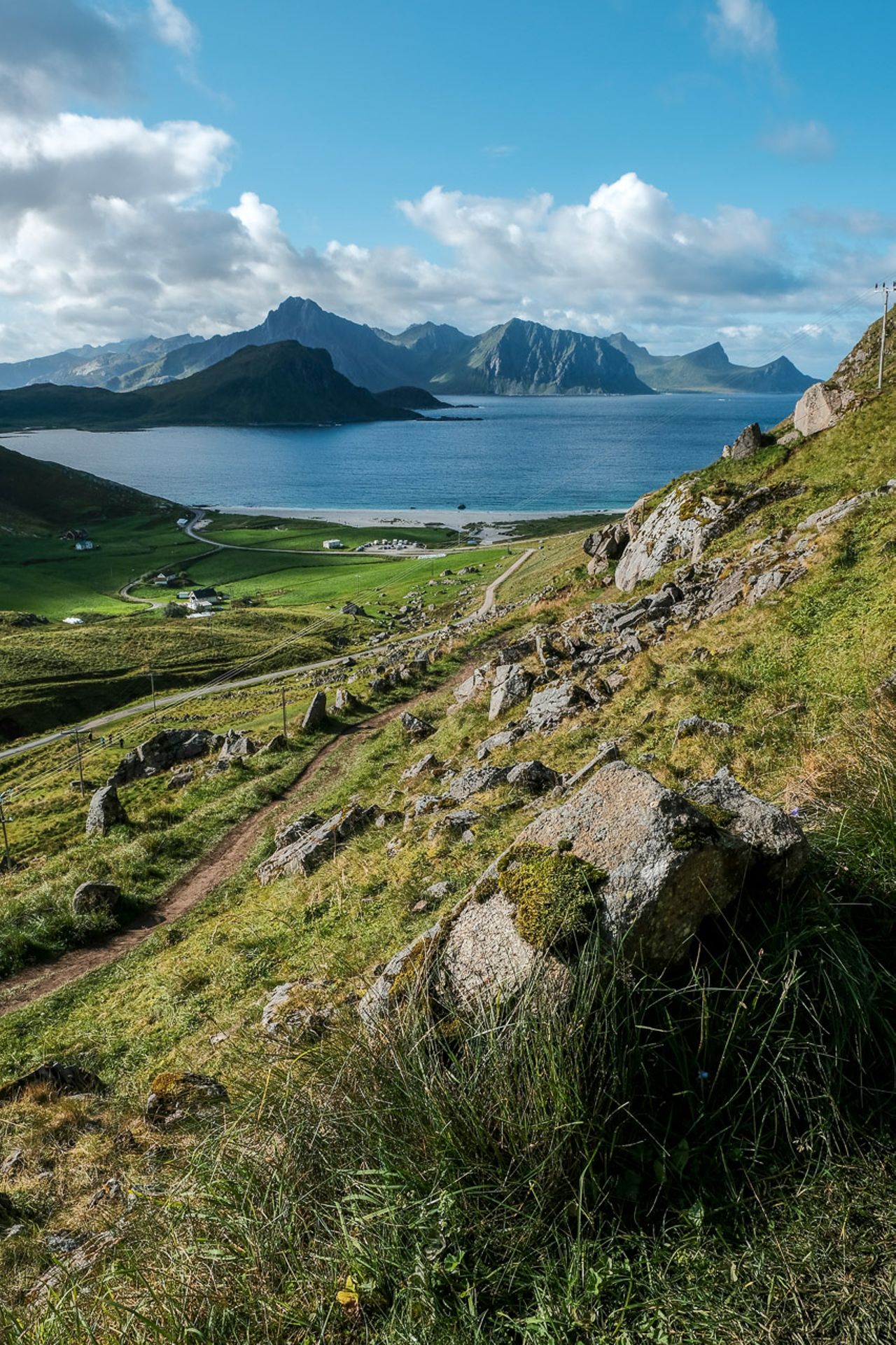
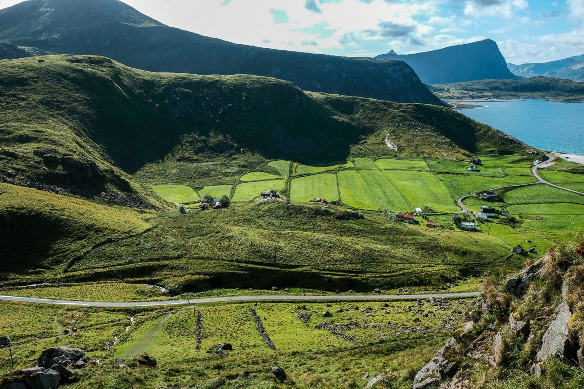
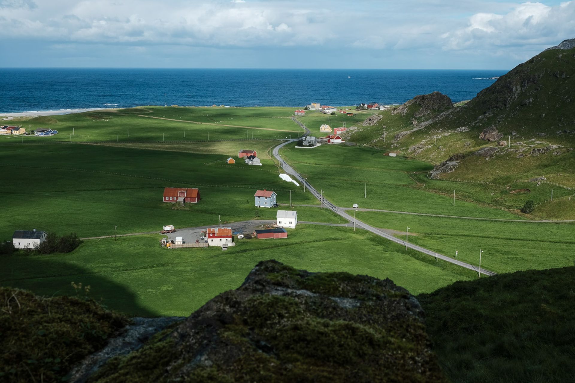
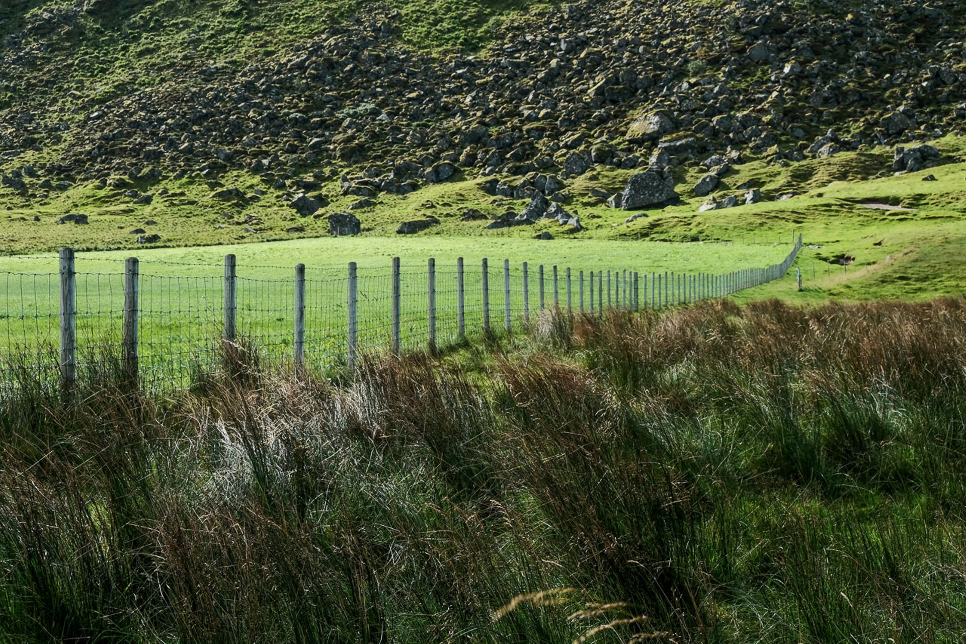
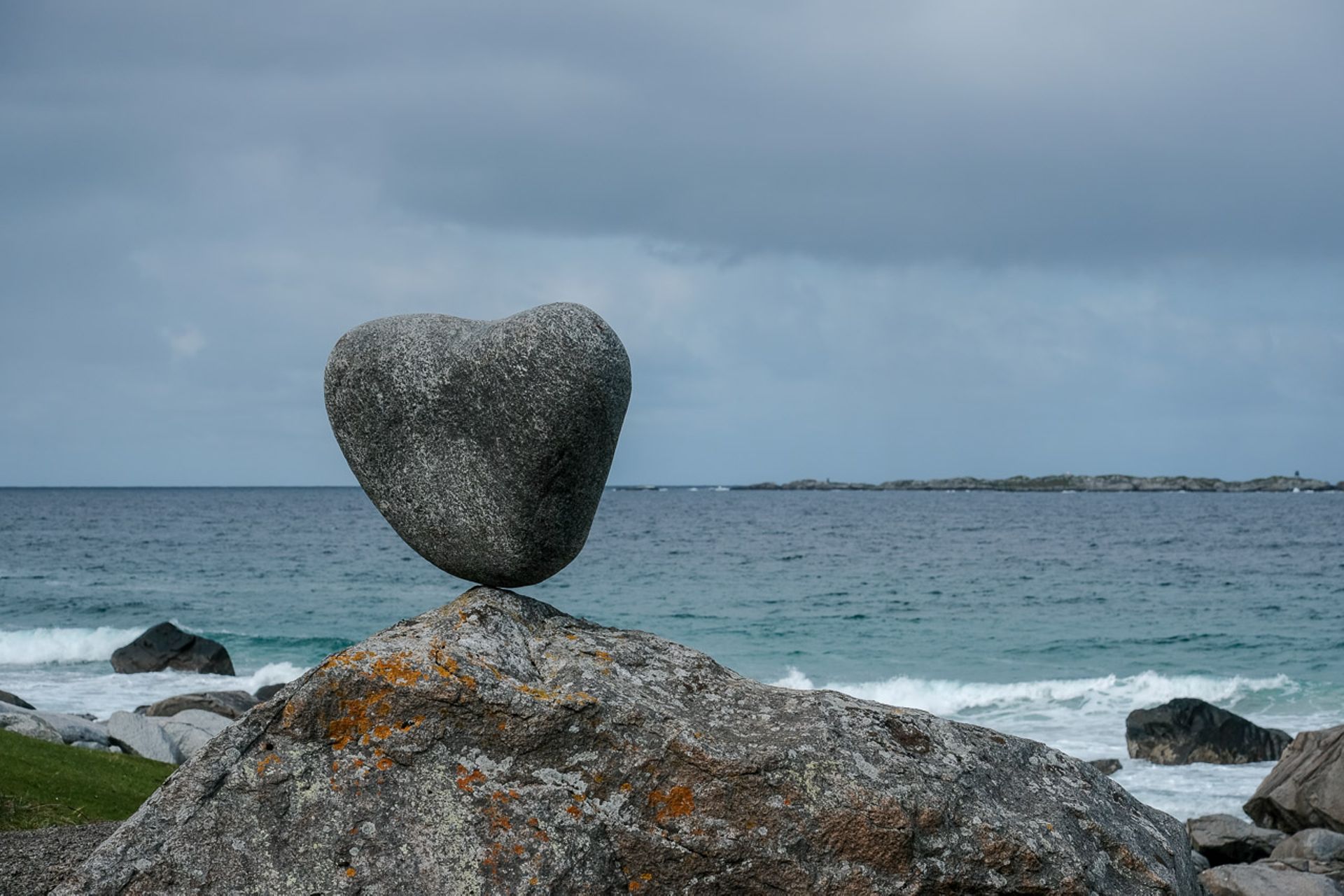
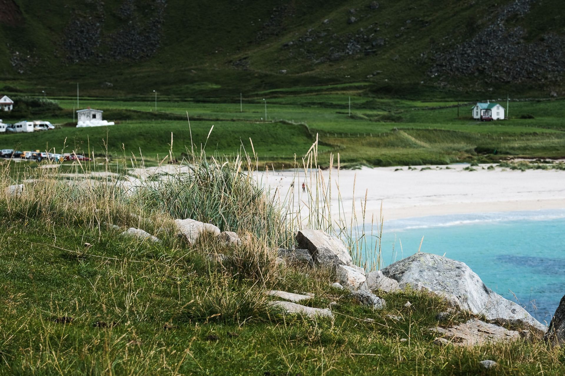
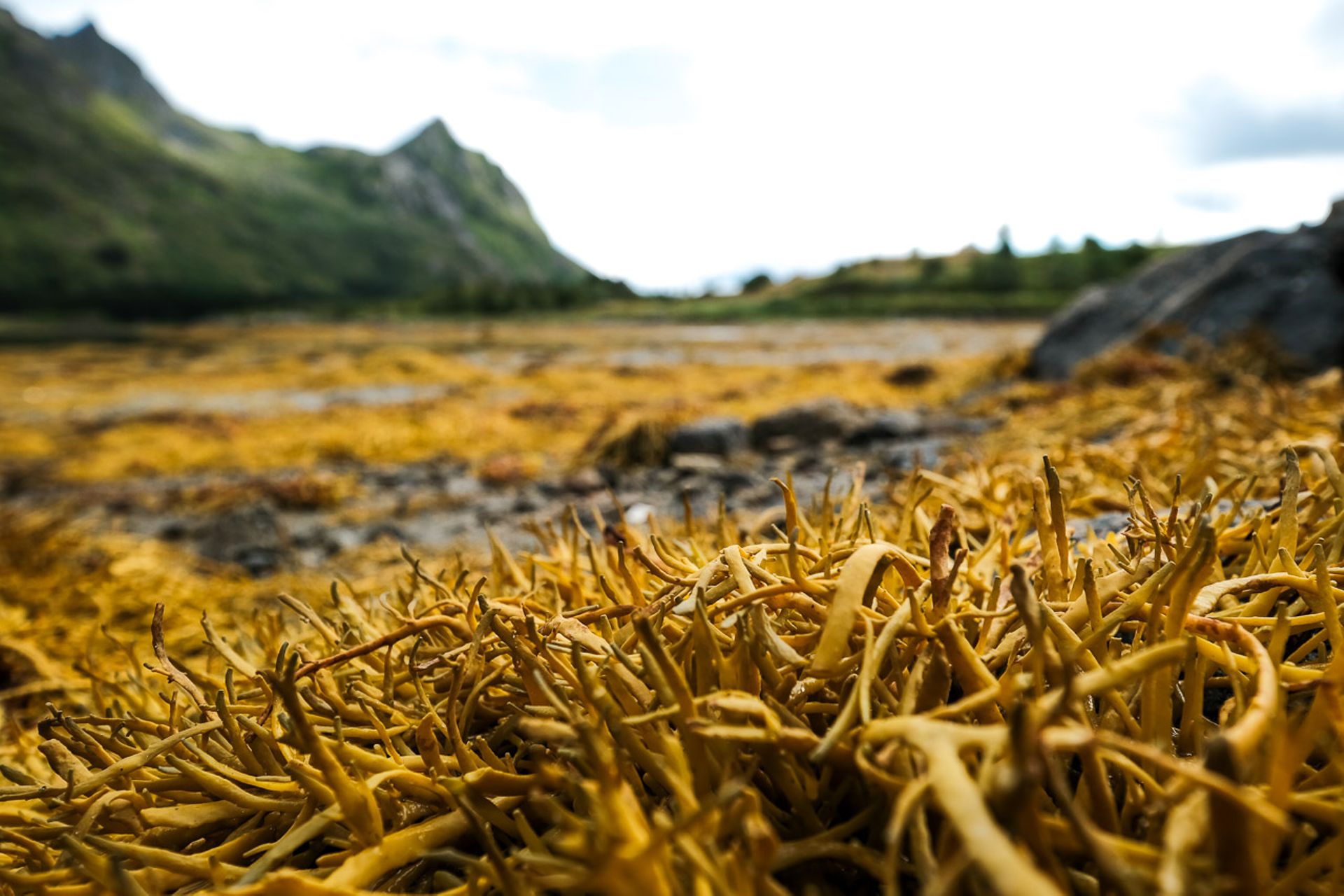
Soon after, we descend again on the other side of the plateau. From above, we have a view of the extremely flat and lush green valley and the elongated beach of Uttakleiv. The descent is not difficult, as it follows an old mountain road. Sheep graze directly at the edge of the beach, the surroundings of the rudimentary campsite also located at the beach are quite nicely designed, with several benches and tables on the beach with fire pits, as well as artificial stone formations and heart-shaped installations.
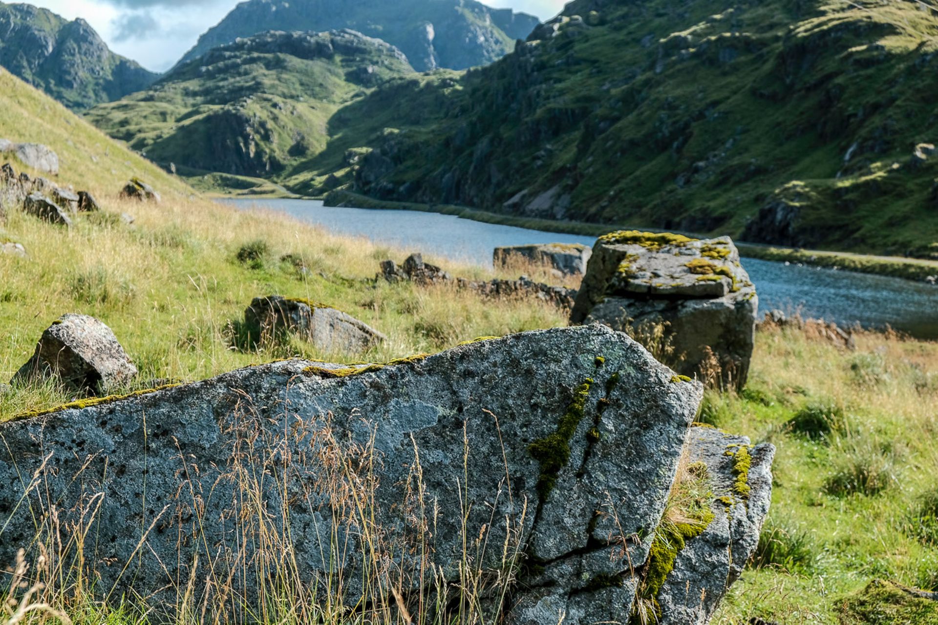
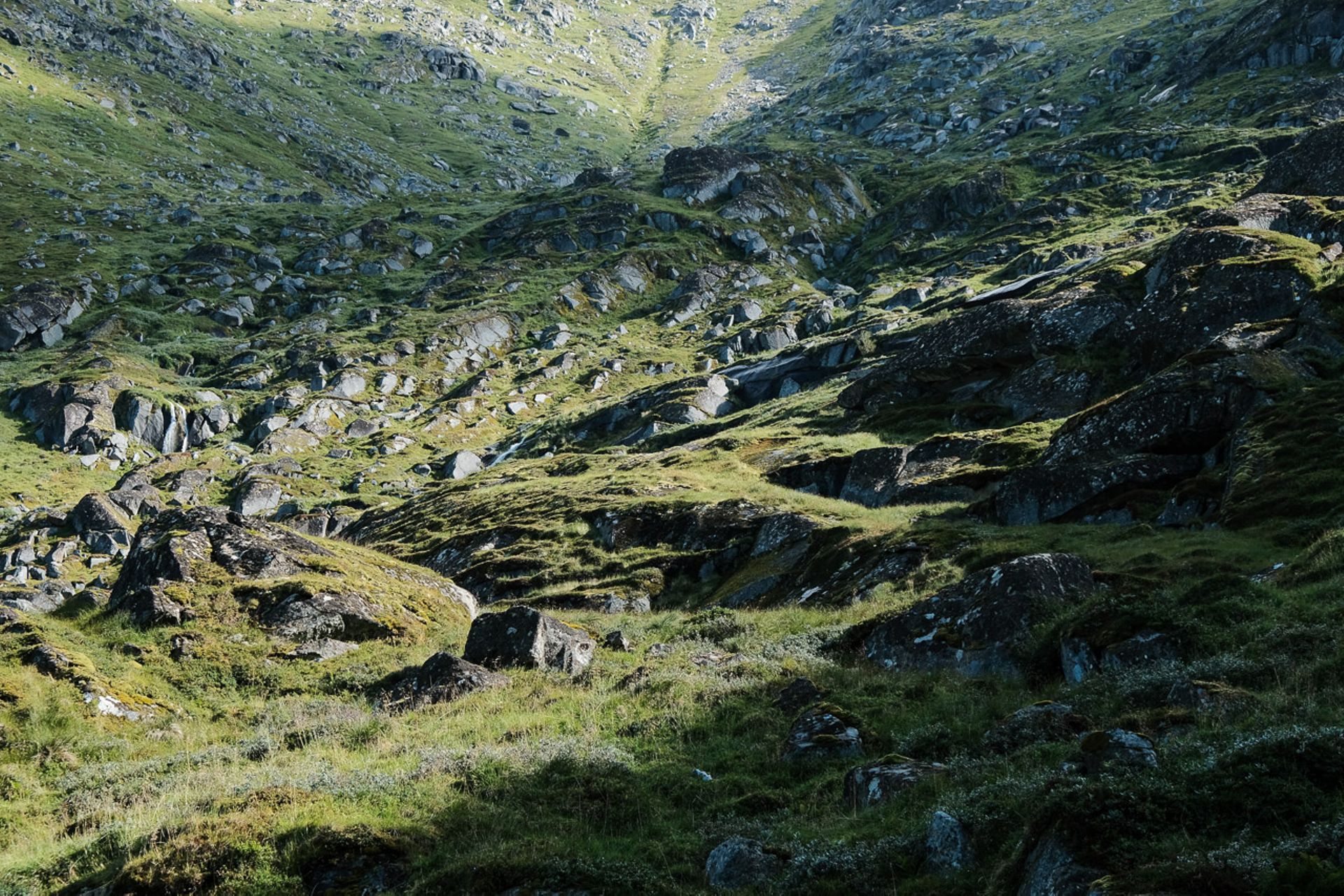
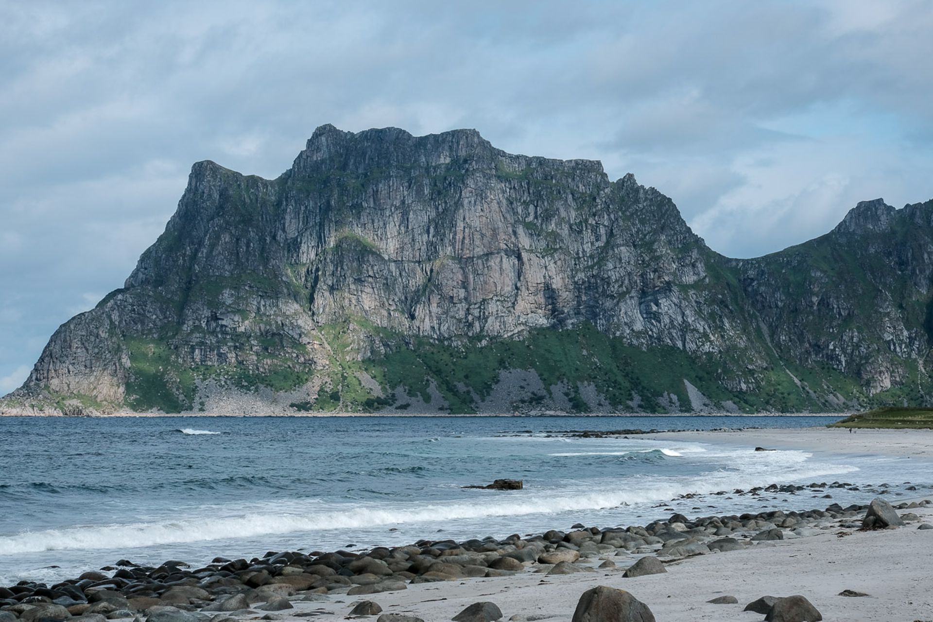
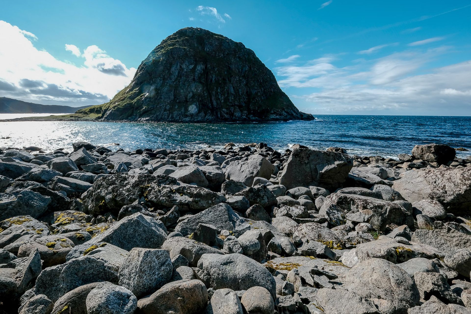
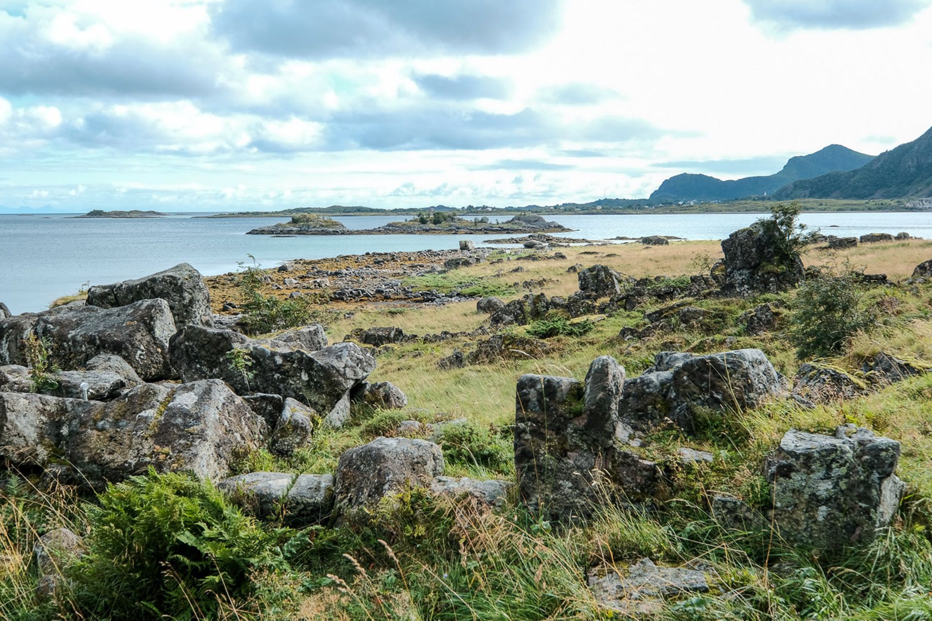
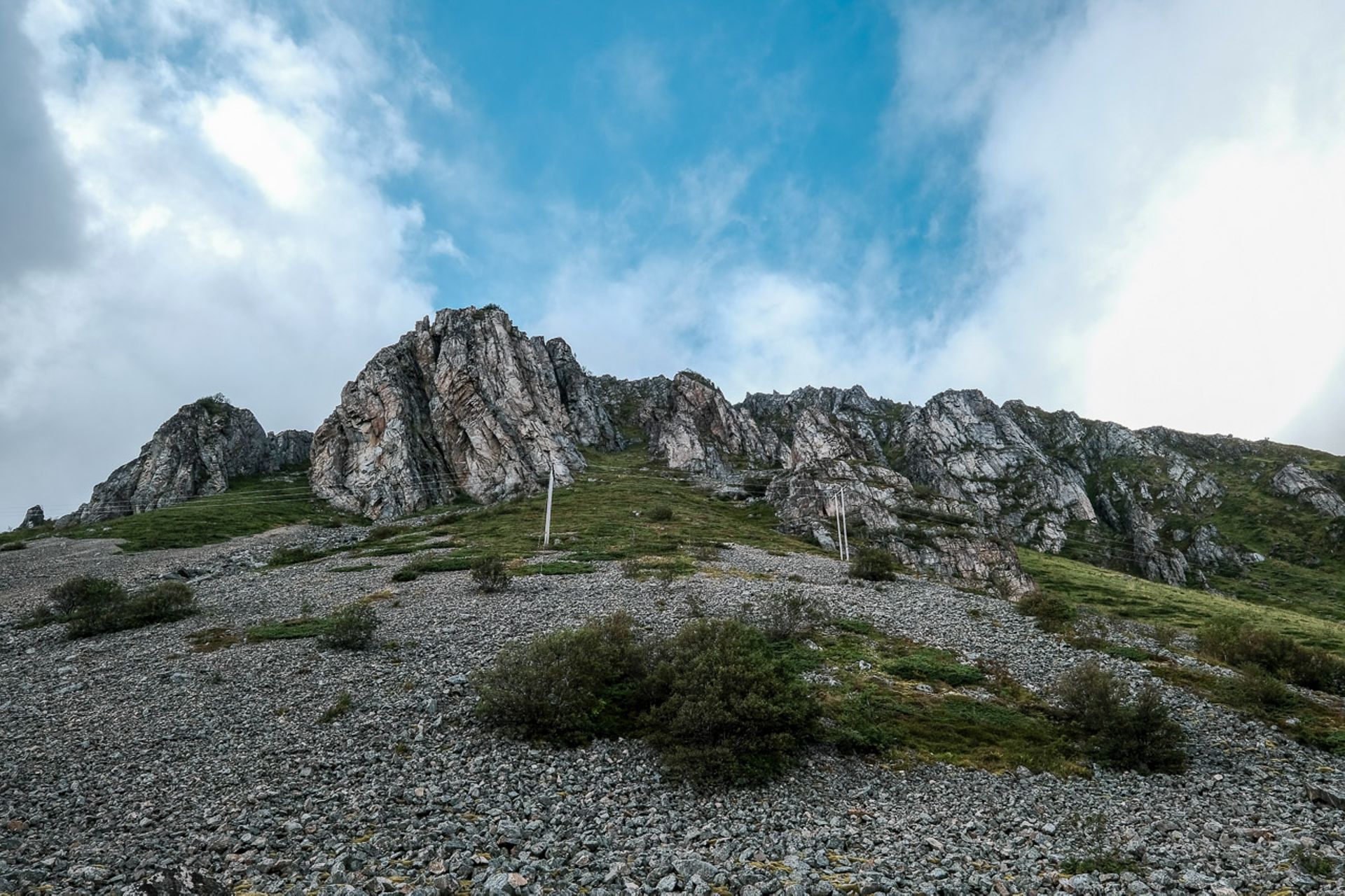
The remaining path leads around the almost menacing mountain Veggen back to Haukland Beach. It appears menacing because its slopes rise steeply above us and huge boulders from previous rockfalls line the edge of the path. Some of the structures look as if you just have to pull out the right small stone to trigger a deadly rock avalanche.
Back at Haukland Beach, I still feel the desire to go for a swim, it just looks too inviting. But a kind of premonition makes me turn back yet again, and no sooner am I back in the car than it starts pouring down, really pouring. Sunshine, blue sky, rain, storm - everything can happen very quickly in the Lofoten Islands.
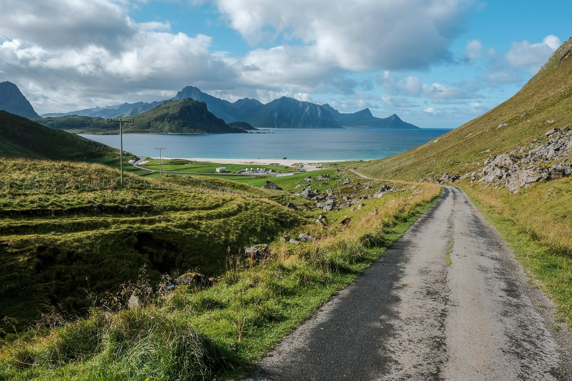
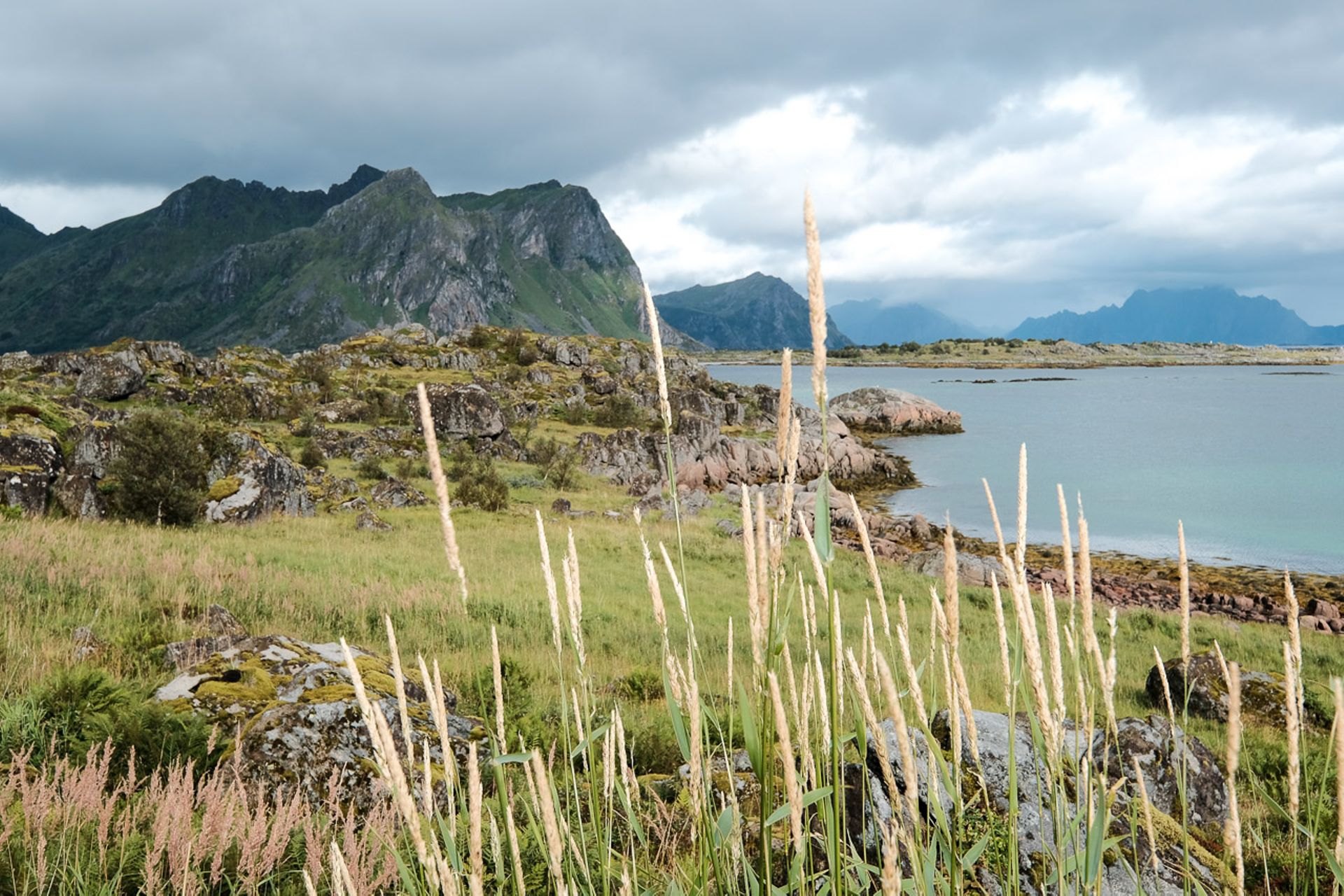
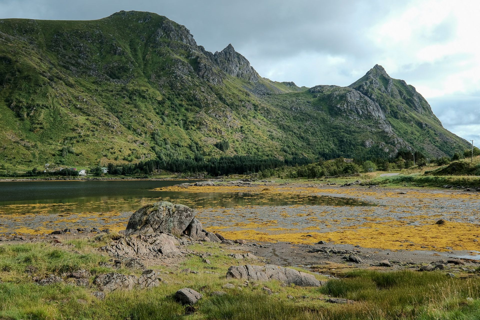
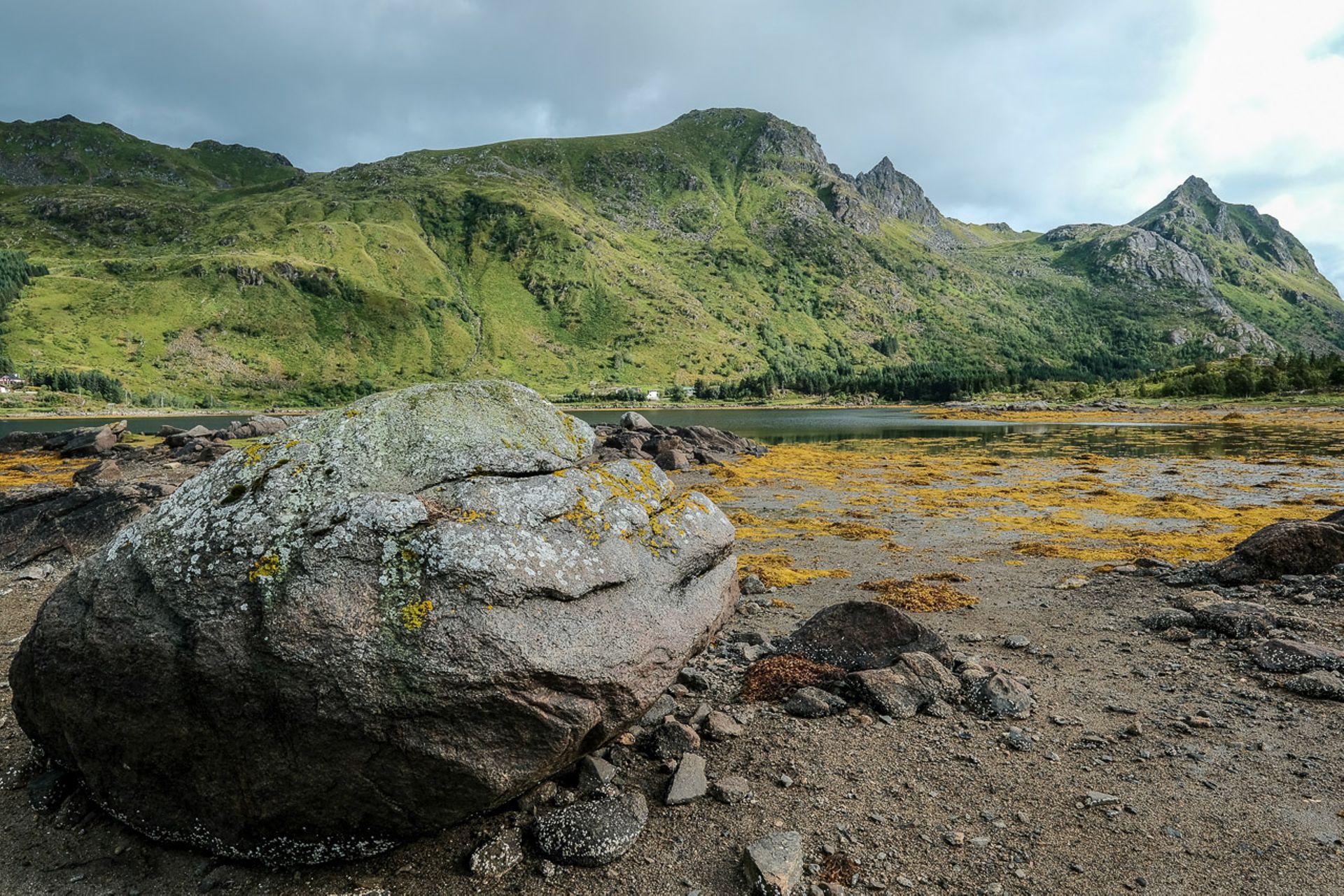
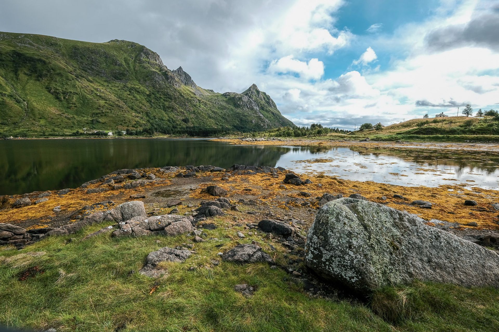
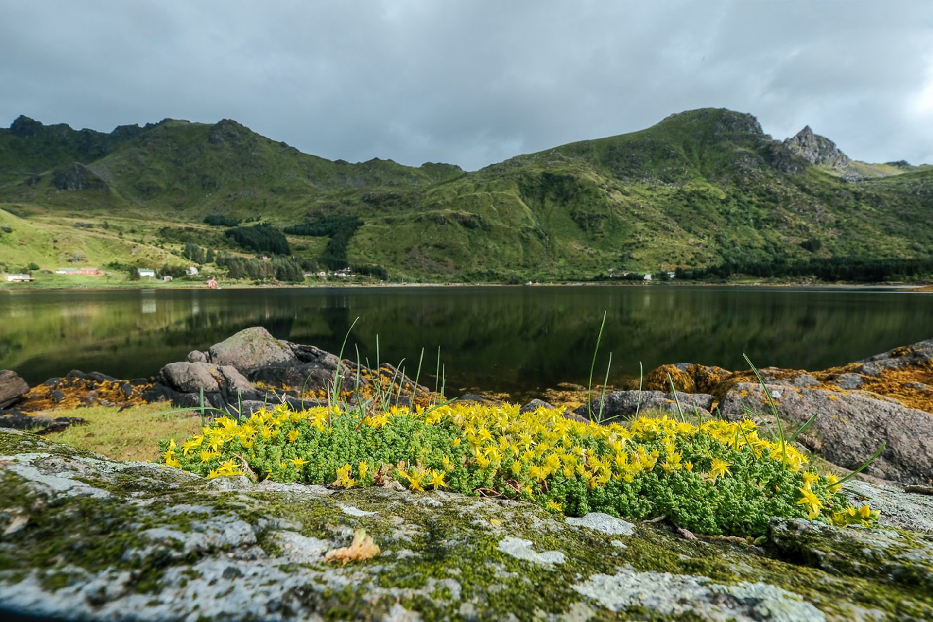
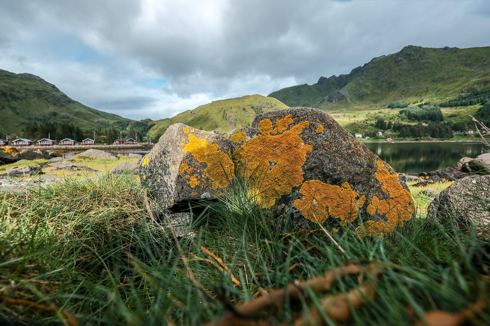
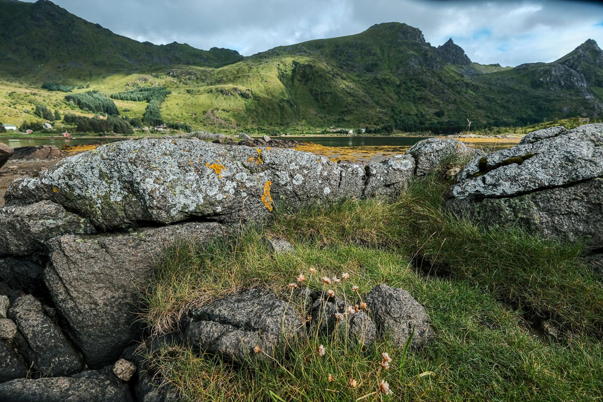
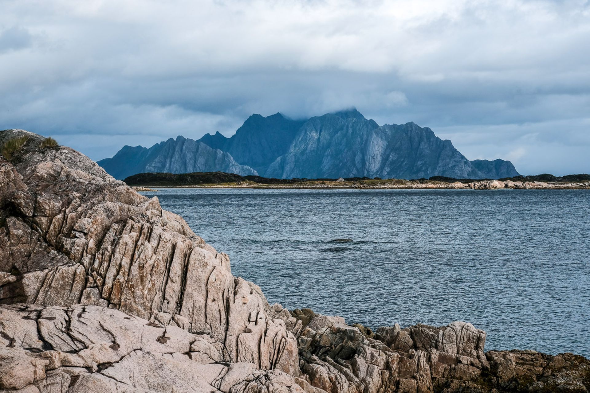
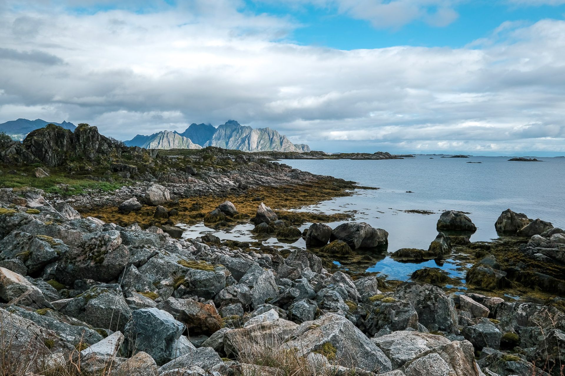
The rest of the day consists of driving, as we want to continue to the island Austvågøy, which is the largest of the Lofoten Islands. We could take the E10 quickly, but we prefer to see some of the landscape and drive the more beautiful RV 815, which runs along the coast at the southern end of Vestvågøy. This route turns out to be the right choice, with little traffic and an incredibly fantastic landscape. Again and again, there are small idyllic fjords, rocky coast with skerries, and in the end a moorland with a view of the dramatic-looking mountains of Austvågøy. This road alone would be sufficient for several days of extensive photography, but unfortunately, I have to set priorities. Some locals already seem to have antipathy towards tourists, who constantly stop somewhere to take pictures, thereby obstructing traffic. Riding a bike would be a better way to enjoy the landscape and still have enough opportunity to capture it and discover good motives and perspectives.
Once on Austvågøy, it's already time to find accommodation for the night. We decide on Rystad Lofoten Camping, a small place, but with a lovingly furnished common area. Later in the evening, it starts pouring down heavily again, and the meadow in front of our sliding door turns into a lake. Let's hope for better weather tomorrow.
Падпісацца на рассылку
Адказ