Tarkine Drive, Trowutta Arch, 9 hours in the car and platypuses in Waratah
نشرت: 06.02.2018


اشترك في النشرة الإخبارية
Friday, 18.01.18
The alarm goes off at 6.15am, as I have a long drive ahead of me and want to do it leisurely and without haste. I am still half asleep as I shuffle to the toilet, quickly brush my teeth there and am already behind the wheel at 7.00am. Breakfast is skipped today, (cold) shower is also out of the question.
So I drive the C214 south again and make two short stops in between to look for animals. But there are none to be seen. I am overtaken by three speeding pick-ups and along the road of this nature reserve I see many roadkill wallabies, even a devil and a possum. It is really sad about the devil, as these animals are now considered an endangered species and the many signs here are apparently mostly ignored by the locals. The devil has been run over right across its body.
14km south of Arthur River, I turn left at Couta Rocks into the wilderness. I haven't been overtaken by a car for a long time now and I haven't seen one coming towards me either.
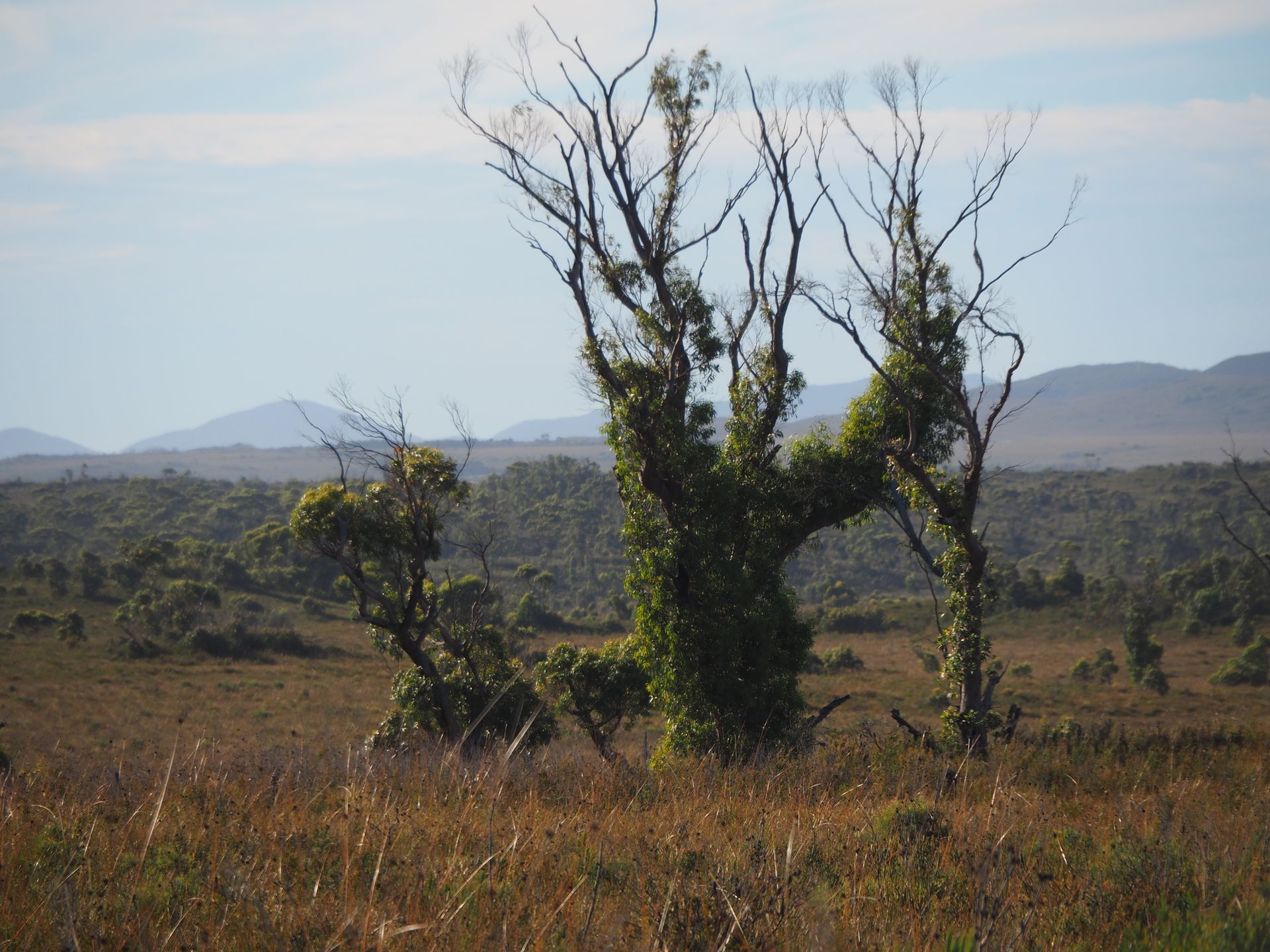
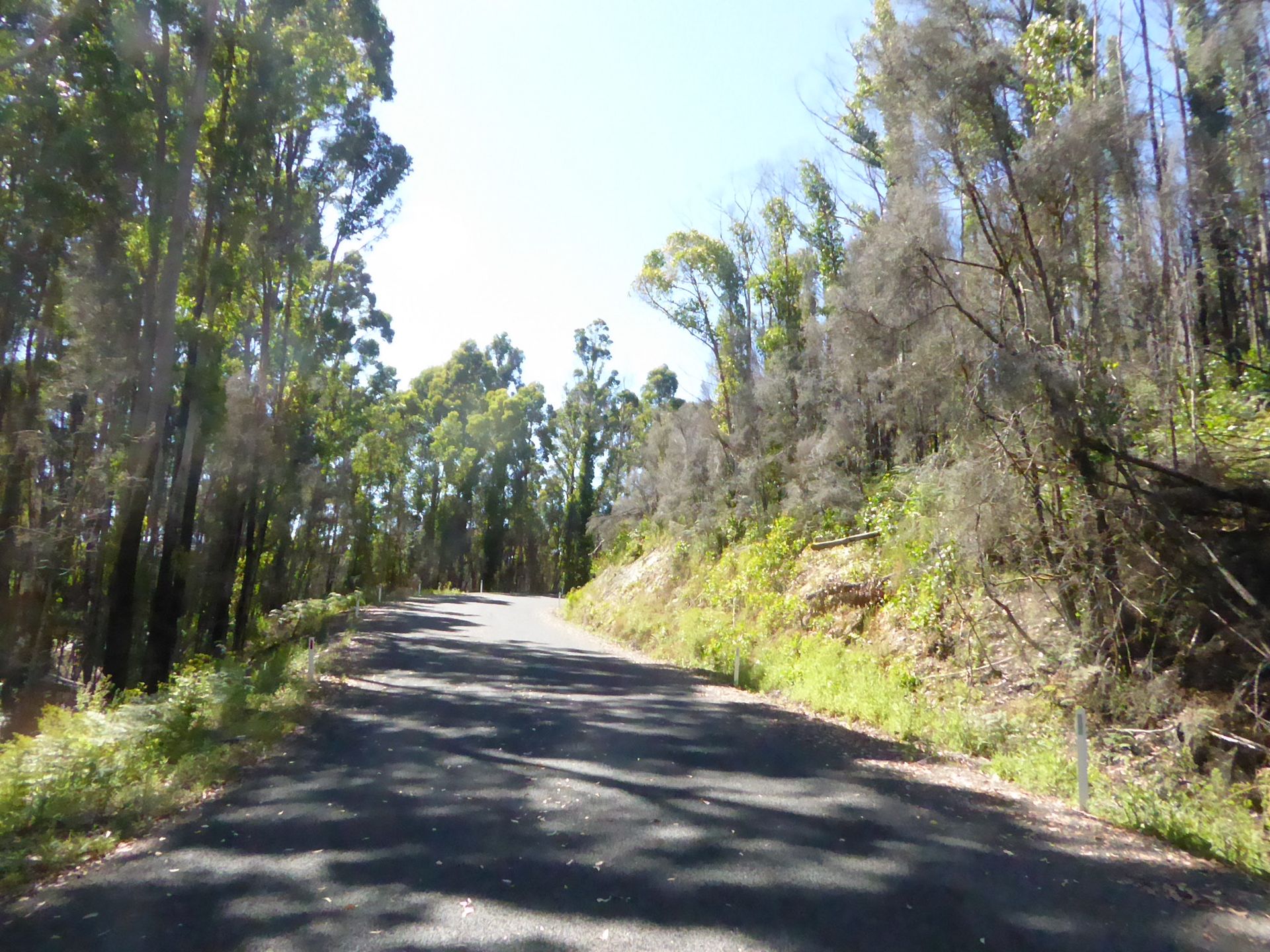
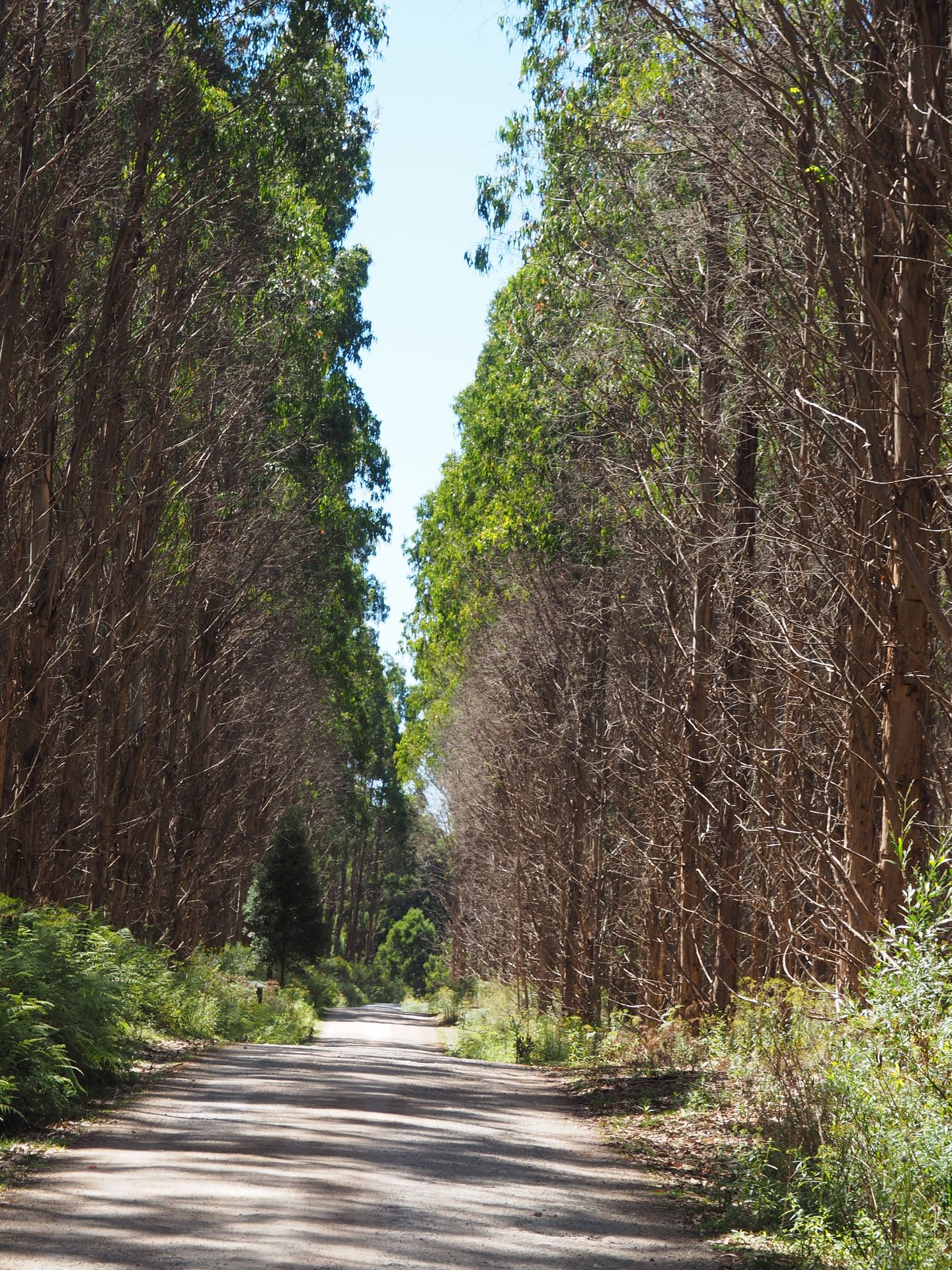
This is where the Tarkine Drive begins, a route that leads through a unique flora, through rainforests and along many wild landscapes. There is nothing here anymore. No towns, no shops and most of the time no phone network either. But the entire route is paved. Tarkine is a district in northwestern Tasmania, after which this route is named. Here, there are some lookouts and a lot of nature waiting for the visitor.
So you pass through various vegetation. At first it is flat and you can see a lot of buttongrass and shrubs on the left and right, but soon you drive through a dense forest, with tall slim trees, a lot of eucalyptus.
The first short stop is just after a turn-off to the east, behind which a large arc leads to the east and then to the north, in order to end up on the road towards Smithton. I stop at the Sumac Lookout. Once again completely alone, I walk the 50 m to the lookout point, with various trees and a part of the Arthur River. Here too, the tall slim eucalyptus trees catch your eye, which also survive the recurring bushfires very well and need them for their distribution.
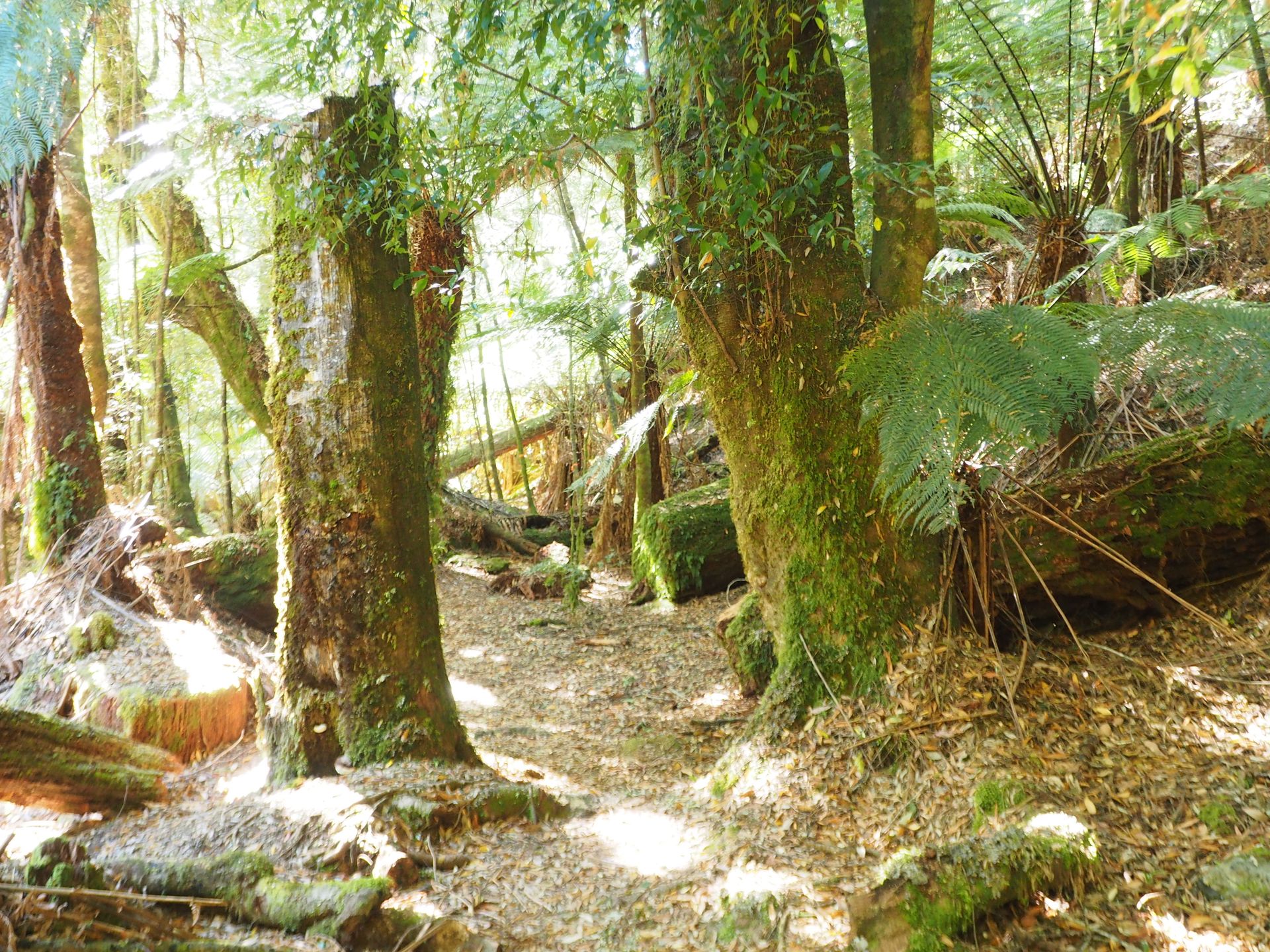
A little further past the Sumac Lookout is the Julius River Track. A short 30-minute circular walk is supposed to start here. The path is a bit rough, but beautiful and enchanting. You only climb over roots, but otherwise step on soft forest floor. You are surrounded by moss-covered tree trunks, tree ferns, and a creek gurgles beside you. Absolutely wonderful, although not so easy to walk, and when I have crossed the creek, the path eventually ends and I have to turn back.
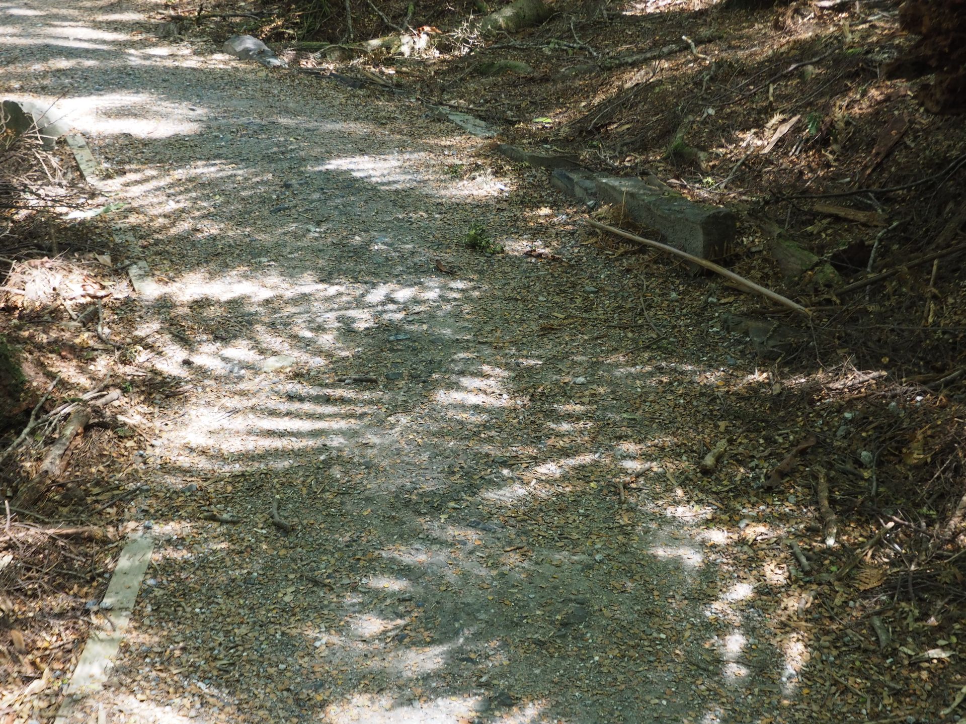
I continue driving under tree ferns and eucalyptus trees, then through pine forests or the road leads through bushes and low vegetation. Shortly before I come back from this arc that I have been driving on since the Sumac Lookout, to the main road, I turn left to the Trowutta Arch. About 4 km from the road via a gravel road (Reynolds Road), you reach the start of a hiking trail that leads down to this extraordinary arch in the middle of the forest. The gravel road is half a road full of potholes and the camper groans and rattles like mad.
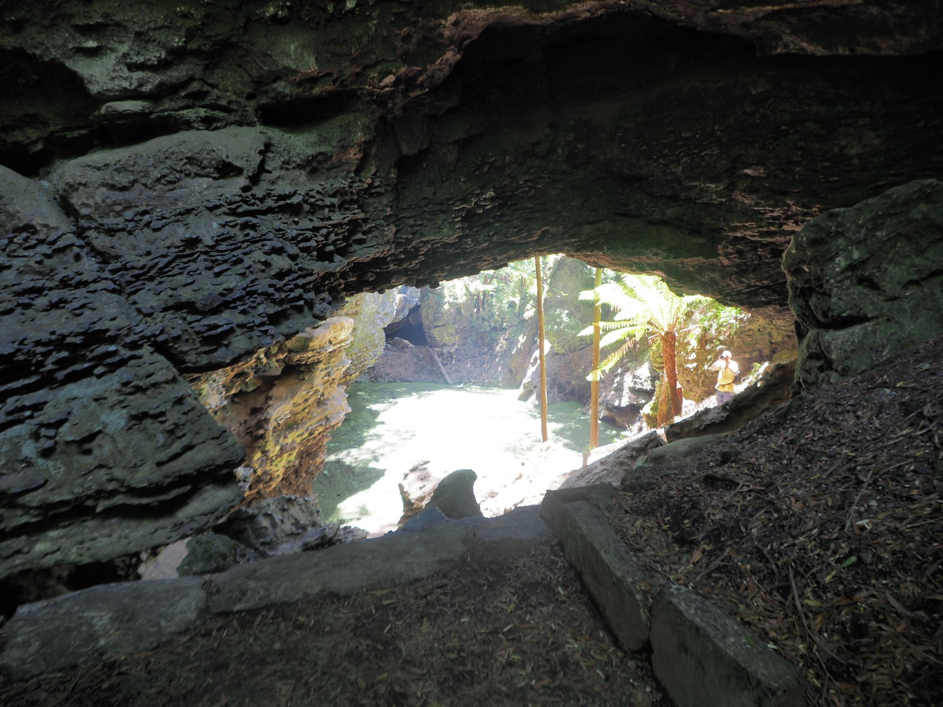
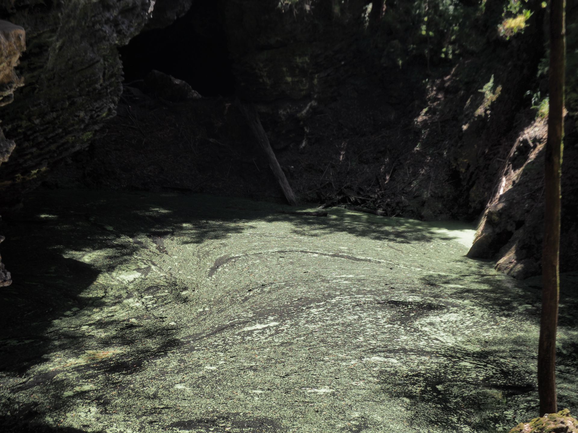
You walk from the parking lot about fifteen minutes downhill until the path ends in front of this rock arch. Behind the arch is a 20m deep sinkhole in the sun. The formation of this arch is probably based on the collapse of a cave system. A very mystical place, a rare geological formation.
After taking some photos with lots of light and shadow, I walk up the stairs and the path back to the parking lot, which can't really be called a parking lot. Here too, there is nothing but sand and bushes. There are no toilets or anything like that. It is and remains very original here.
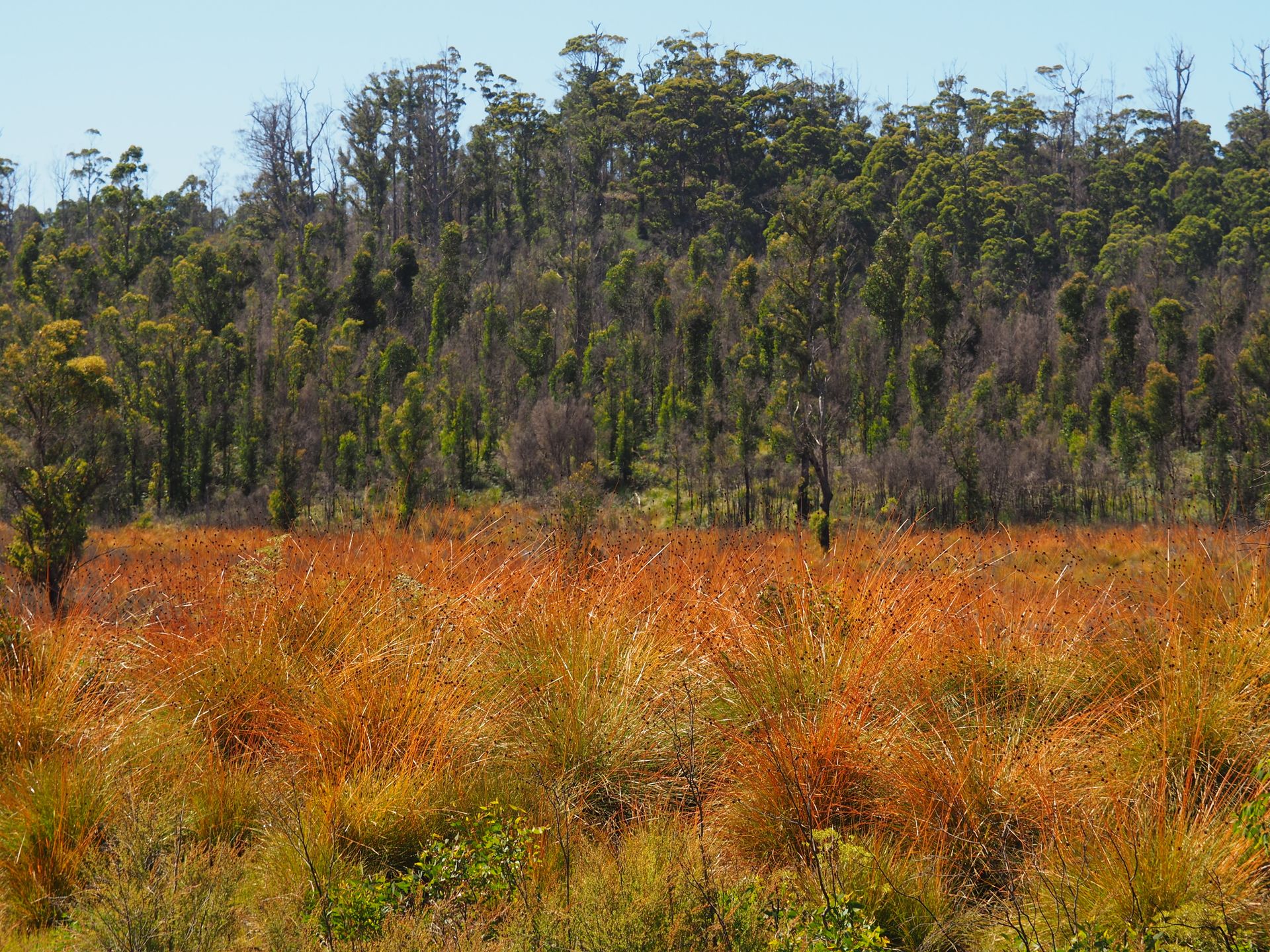
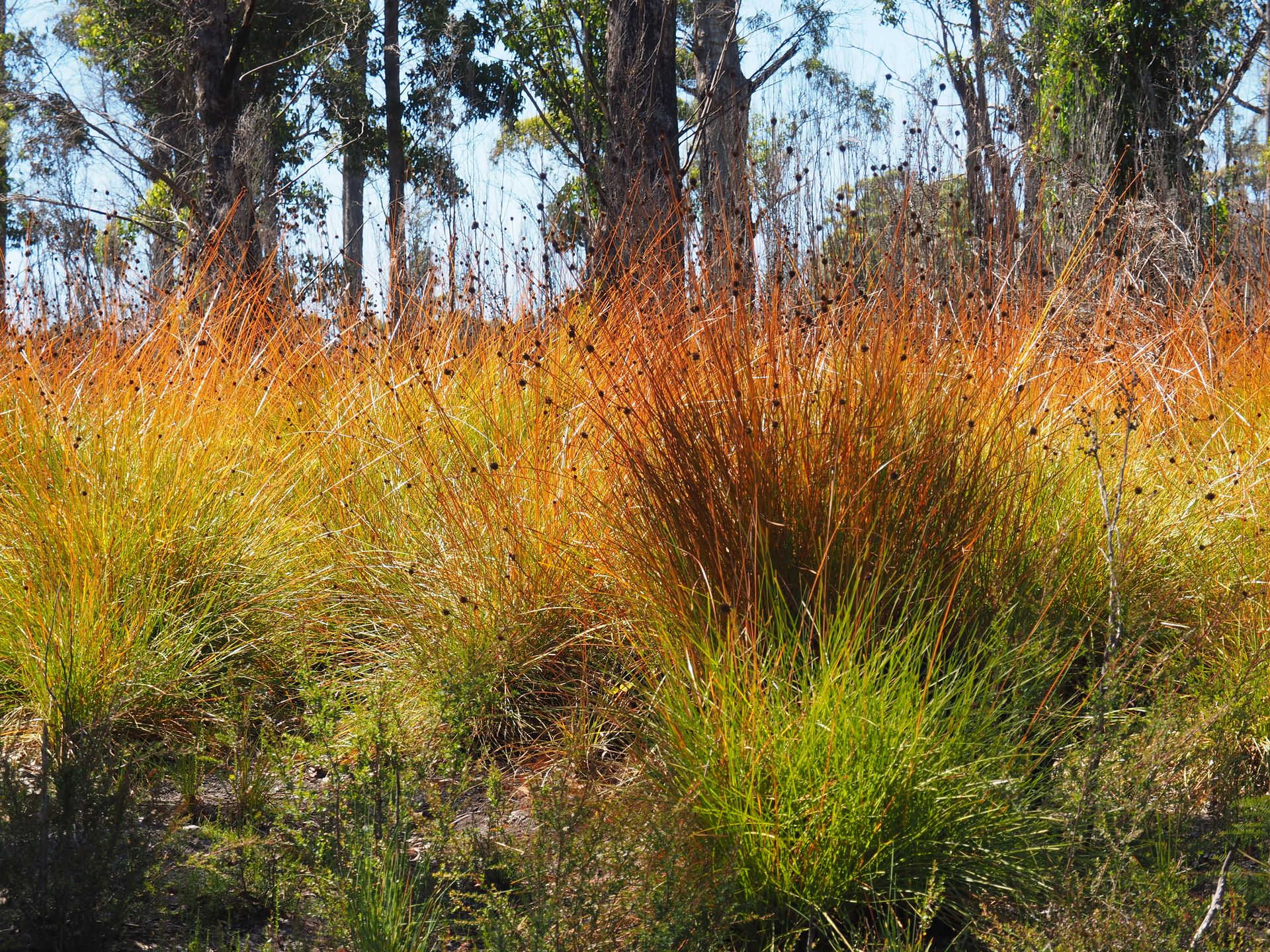
I reach the main road again, which now leads straight north. I have now driven 125 km since leaving Arthur River, it is 12.30pm and I have been on the road for 5.5 hours. The distance is estimated at 1.5 hours. But if you take your time here, take breaks, take a small track here and there, take photographs - then you need a lot more time. The landscape now changes to a lot of button grass, which is highly flammable, by the way. It grows on an oily subsoil and is suitable for smoldering bushfires, which can continue to burn underground for weeks until they eventually reach the surface and you have to extinguish a huge fire.
But now I am hurrying because I still have about 170 km ahead of me to reach Waratah, which I really want to reach and not have to make a forced overnight stay on the north coast, which would be a bad alternative. If I make it to Waratah today, tomorrow I can drive to Cradle Mountain in just 60 km and give myself some leeway for the last few days to sit somewhere on the beach and not look at anything. That it will be a long day today - the longest driving day of the whole trip - was clear from the beginning. I stop at 1.30pm for a coffee and a sandwich where the road to Rocky Cape NP goes. A nice little diner with delicious coffee. After 20 minutes, I continue towards Wynyard, where I actually have to go right into the town to find a gas station. Since I left Tarkine Drive, a really nasty wind has been blowing from the sea and driving on an otherwise relatively straight road becomes exhausting with this high car and I have to hold the steering wheel tightly with both hands, and yet I probably look drunk from behind.
From Wynyard, the navigation tells me that there is still about 100 km to drive to Waratah. Ok, it is now half past two and the tank is full again. The route takes me on a 10 km long gravel road, which is much better and faster to drive than the one towards Trowutta Arch. Afterwards, I first reach a B-road and then an A-road and make good progress, except for the last 20 km where the road becomes a series of curves and I wind my way through hills, sometimes above trees and sometimes in the middle of the forest. Actually a beautiful route, but I want to arrive slowly. It is after 4pm when I arrive in Waratah. The town lies deserted in the sun, but I see campervans behind the post office on a lawn and by a pond. The post office manages the campground and I can get a powered site for $28 here at 4:30pm. Showers and laundry are free here. I am really exhausted when I park my camper and connect it to the power.
I go to take a shower first. A real treat after 9 hours behind the wheel. It is nice that there are small bathroom cabins here, which you lock and then have a shower, toilet, and sink all to yourself. Then I gather my laundry and start a load. You are only allowed to wash with cold water so that the showers stay warm. So it's not more than refreshing my hiking pants and t-shirts, and a pair of pajamas. But better than nothing. After all, I've been on the road for 9 days now. The village has free Wi-Fi, but it doesn't work very well. While the washing machine is running - it should take about 45 minutes - I take a little walk around the town and the pond, where there are definitely platypuses, as other campers tell me and signs confirm. Anke had also suggested this place to me, who had also arranged the campervan for me.
The place is cute, but still deserted and consists of about 10-20 houses. The sun shines gently from a cloudless sky, this campground seems like paradise to me, because I am standing on grass, next to my camper is a picnic table where I later sit and my gas stove stands next to me to warm up food. Tonight, I will have a beer and the laundry will soon hang on the wooden fence behind the camper in the sun, while I enjoy the last rays of sunshine and write in my diary. As it slowly sets, I grab my cameras and walk around the pond and actually see platypuses! Finally!
I return almost in the dark, finish my beer and collect my dry laundry and enjoy a freshly washed pair of pajamas.
اشترك في النشرة الإخبارية
إجابة
تقارير السفر أستراليا