Chiricahua National Monument - A Wonderland of Rocks
نشرت: 23.05.2023
اشترك في النشرة الإخبارية
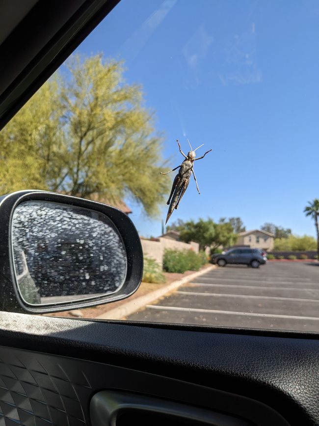
After a breakfast that was rich in terms of the affordable overnight price, we continued our road trip today. Everything packed back into our 'Cactus Mobile', we were ready to hit the road. But before that, a grasshopper-like jumping insect had stuck to the passenger-side window. Passenger Thorsten was briefly startled after catching sight of the creature. The little critter hitched a ride with us until we reached the gas station, where we unfortunately had to show our ticket before getting on the highway. After all, we can't take every stowaway with us. Since a ticket couldn't be produced, we had to end the journey on the window and kindly asked the critter to dismount. Don't worry, we let the little bug live.
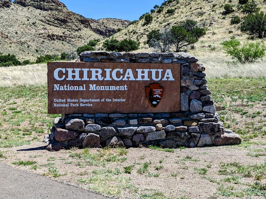
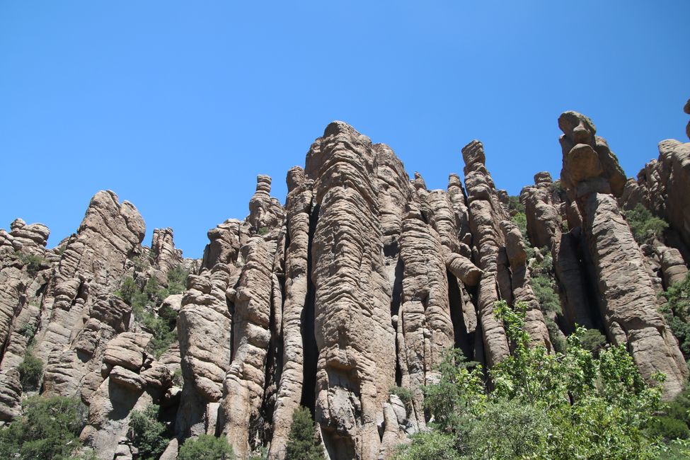
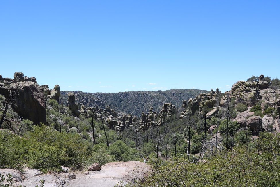
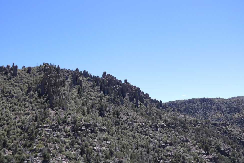
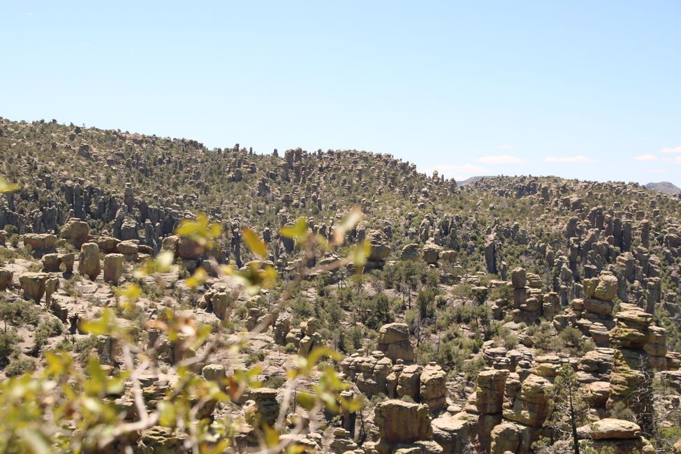
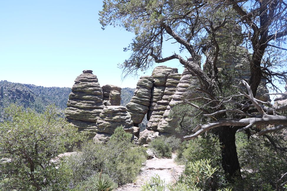
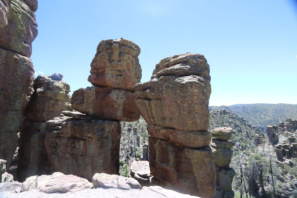
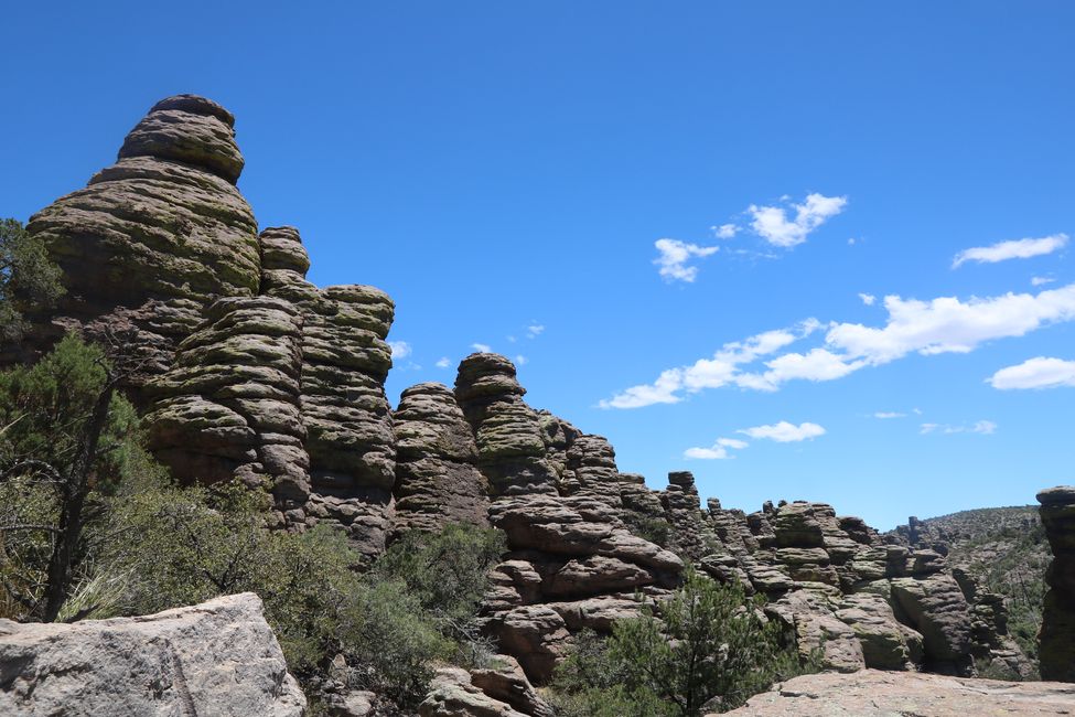
Back in our familiar travel squad, we continued on. Our next destination was Chiricahua National Park. Here, on Apache land, there have been so-called hoodoos for millennia. These rock formations are the result of erosion of compacted volcanic ash from a volcano south of the park.
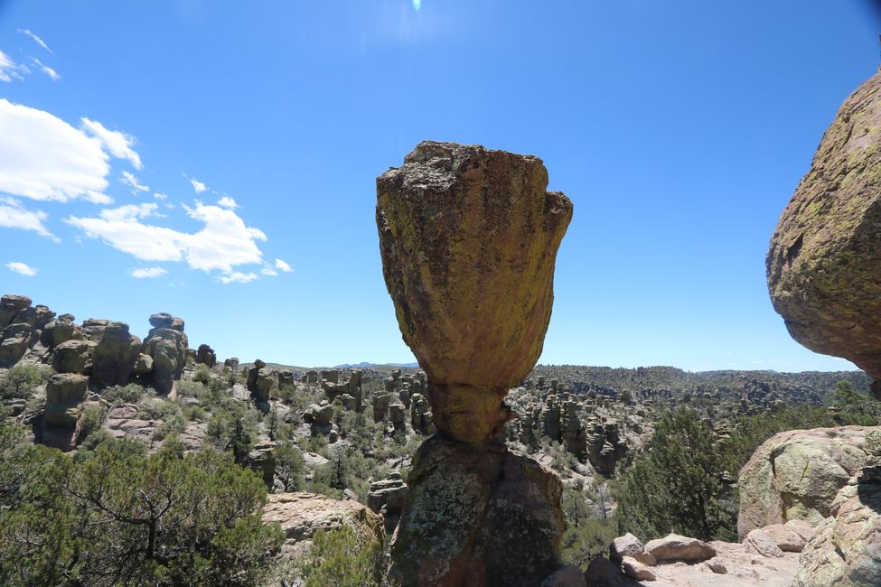
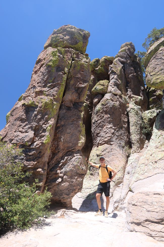
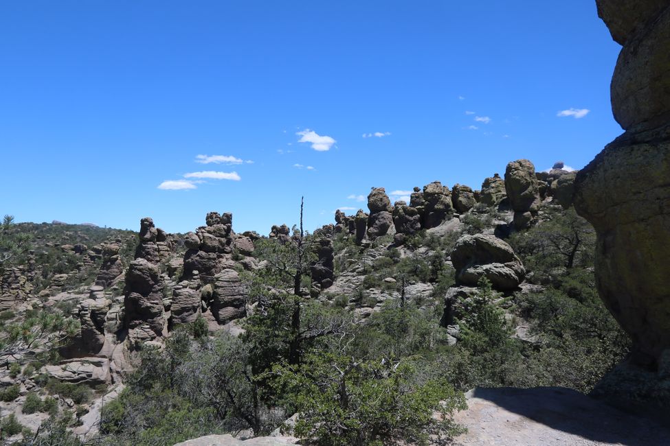
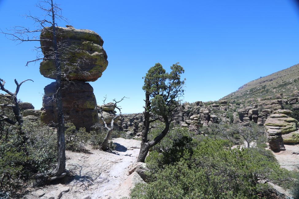
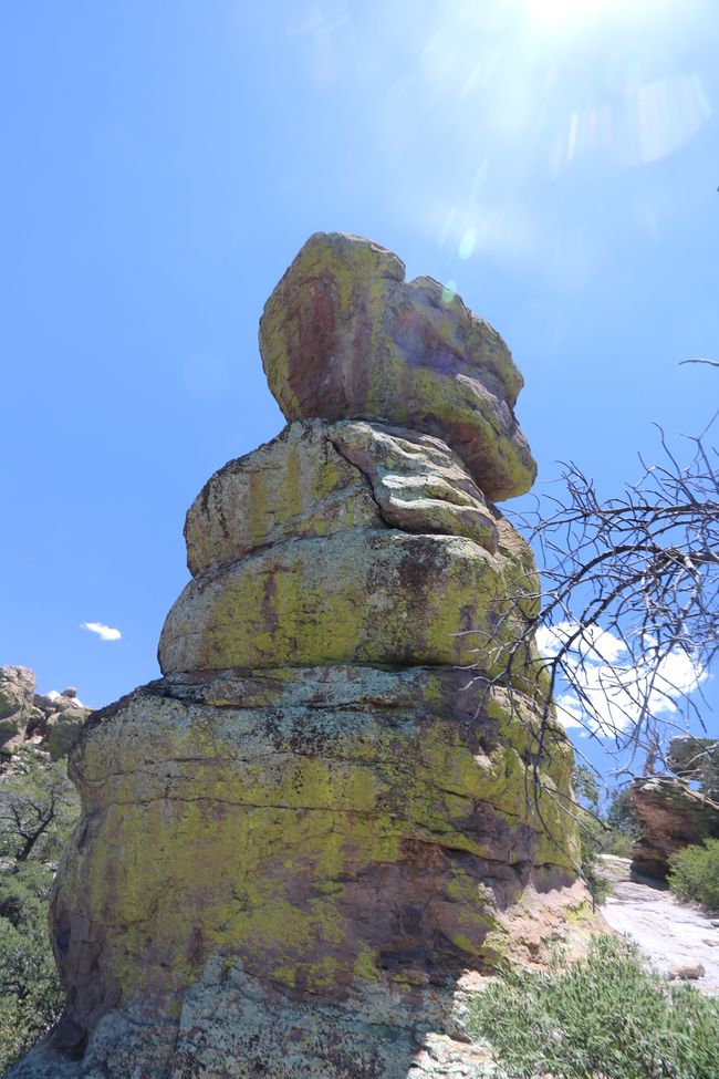
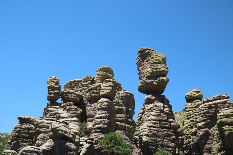
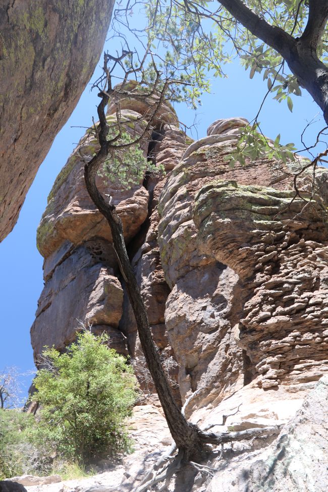
We chose the Echo Canyon Loop Trail, which is approximately 2500 meters above sea level and nearly 6 km long. During the slightly over 2-hour hike over gravel and rocks, we saw incredibly beautiful rock formations. Just like in other national parks in the USA, there are also 'balanced rocks' here. Huge rocks that rest precariously on a fraction of their surface area at dizzying heights without falling down. You would think that they might collapse at any moment or at least in stronger wind conditions that sweep across the area. But they've been lying here for a while and no one moves them.
In contrast, there are also these hoodoos or rock pillars that just randomly appear in the landscape. All by themselves, detached from the rest of the rock formations. Who placed them there or where did the remaining volcanic ash formations go? Blown away by the wind???
We still don't know much about the exact formation of the hoodoos, so we can't help here either. That's why we decided to mentally and photographically store the beautiful experience as we saw it and not inquire further about the reason for all of this. We simply can't take care of everything.
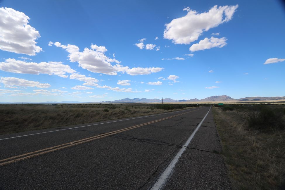
The final destination for today was the city of Lordsburg in New Mexico. On the way from Chiricahua National Monument to Lordsburg, the navigation system had a 'treat' for us. To save many kilometers, we were directed onto Apache Pass Road. The route was 20 miles long. Although we had also read the sign 'Unpaved Road' and the road didn't leave a really good first impression, the navigation system said it was fine and the persuasion of driving only 20 miles instead of 100 was convincing enough for us. After a few hundred meters, the road conditions deteriorated so much that we thought our car would fall apart if we tried to cover the 20 miles. We 'hopped' along the road at 10 mph, jumping over ruts carved into the rocky surface transverse to the direction of travel. But we didn't want to go back either and take the longer route to Interstate 10 towards El Paso. After every turn, we hoped that the conditions would improve. But they didn't. And so we 'hopped' over the 'road' for 9 miles. Always hoping that the car wouldn't fall apart.
Fortunately, halfway through the journey, the road became smoother and paved again, so we could drive calmly and with an undamaged car to Lordsburg. The 'little town' isn't really worth seeing, but it did have an affordable overnight accommodation waiting for us.
اشترك في النشرة الإخبارية
إجابة (1)
Thorsten
Eine super tolle Wanderung 👍
تقارير السفر الولايات المتحدة الأمريكية
